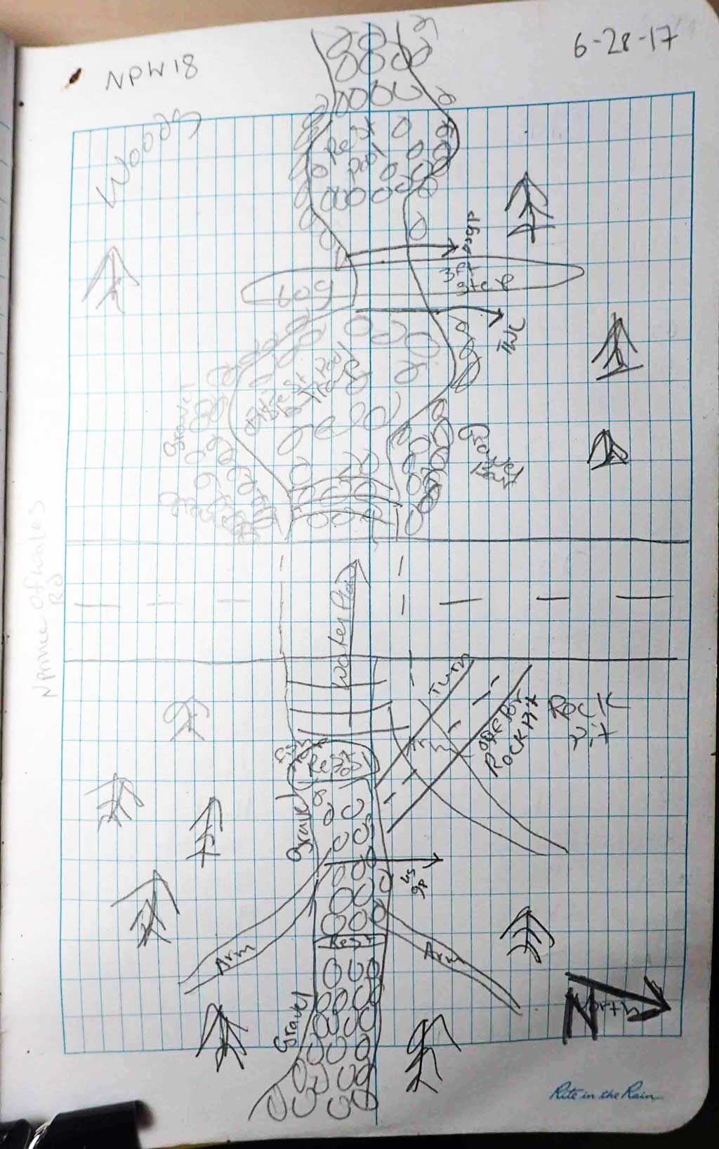
Fish Passage Site 10103584
Coordinates (dec. deg.): 55.76274°, -132.98491°
Legal Description: C070S081E34
Region: Southeast
Road Name: North Prince of Wales Road
Datum: NAD83
Quad Name / ITM: Craig D-3
AWC Stream #:
Stream Name: Unnamed
Elevation:
Site Comments: None
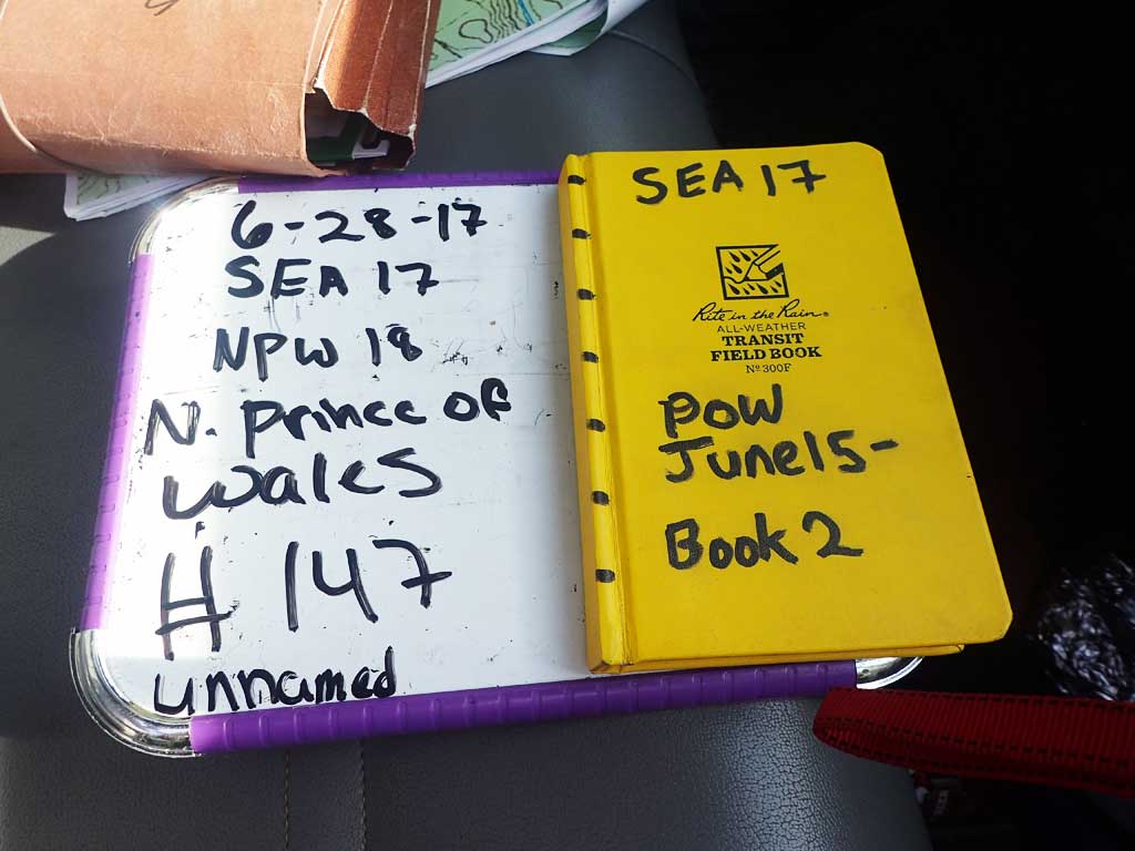
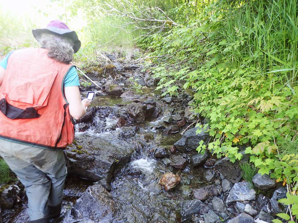
Survey SEA17-NPW18
Observers: Elizabeth Flory, Kelly Petty
Overall Fish Passage Rating:
Tidal: No
Backwatered: No
Step Pools: No
Construction Year:
Site Observations:
- Outfall height red
- Culvert gradient red
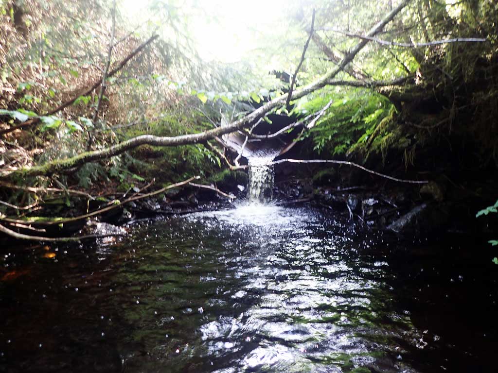
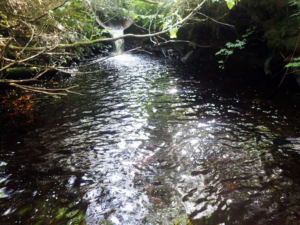
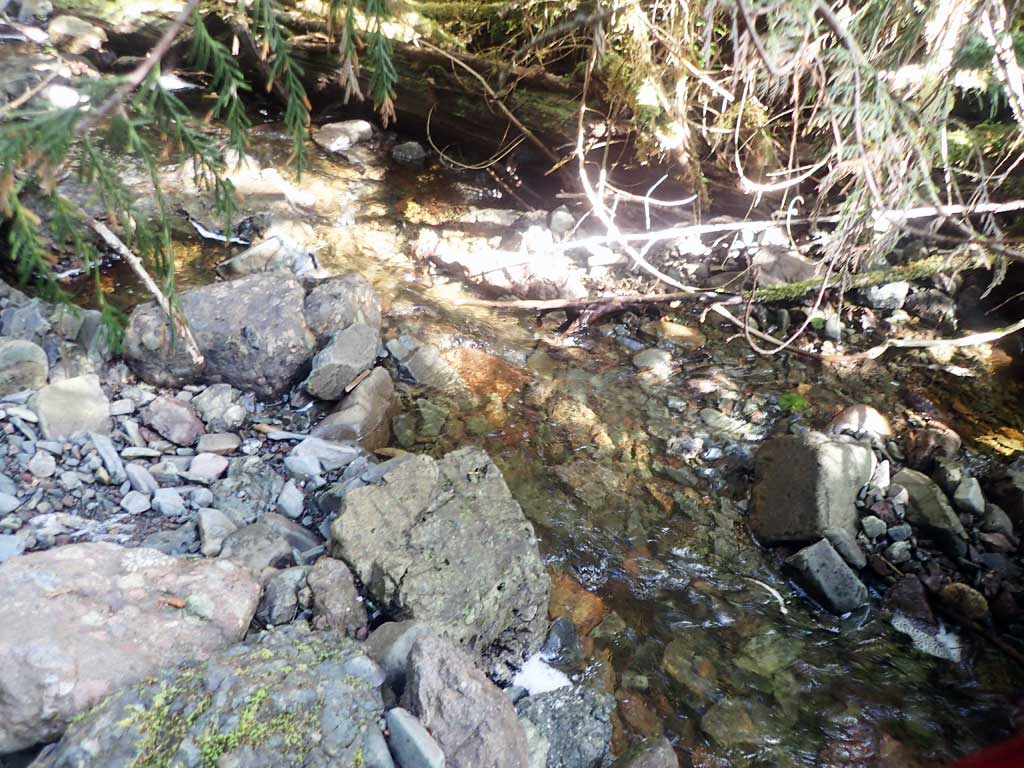
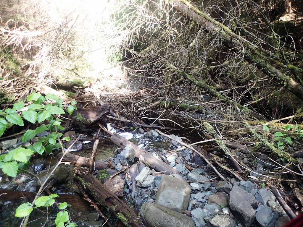
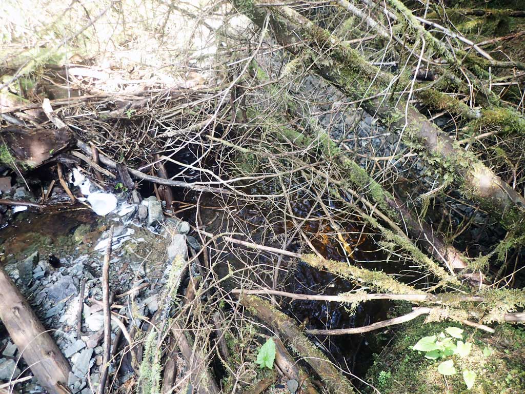
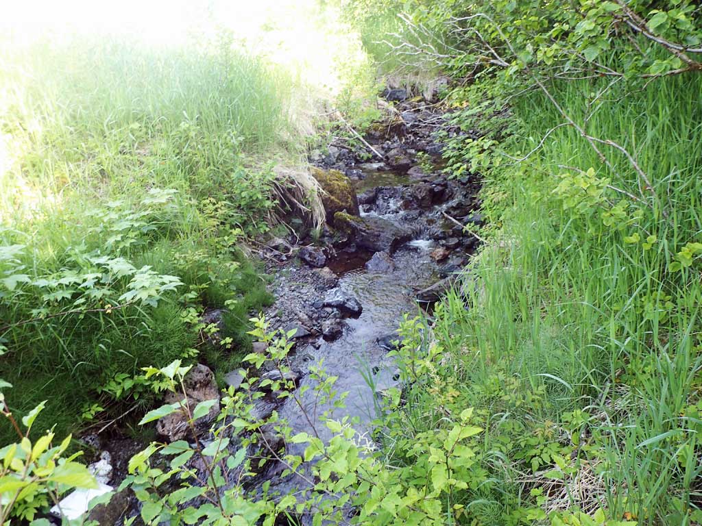
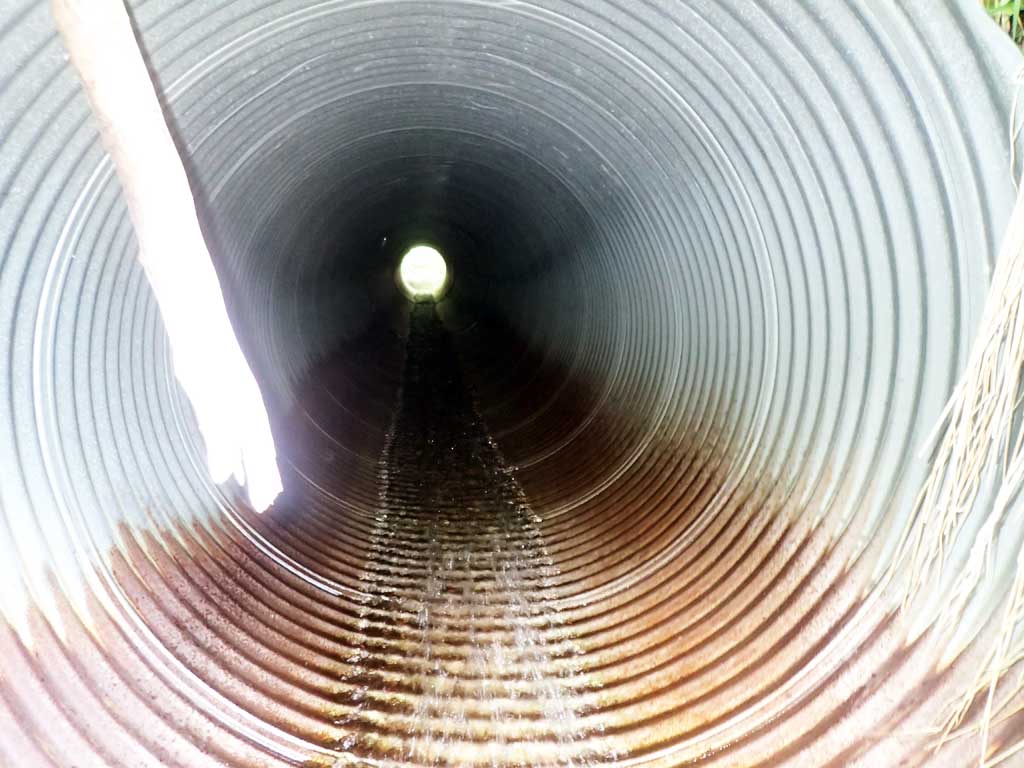
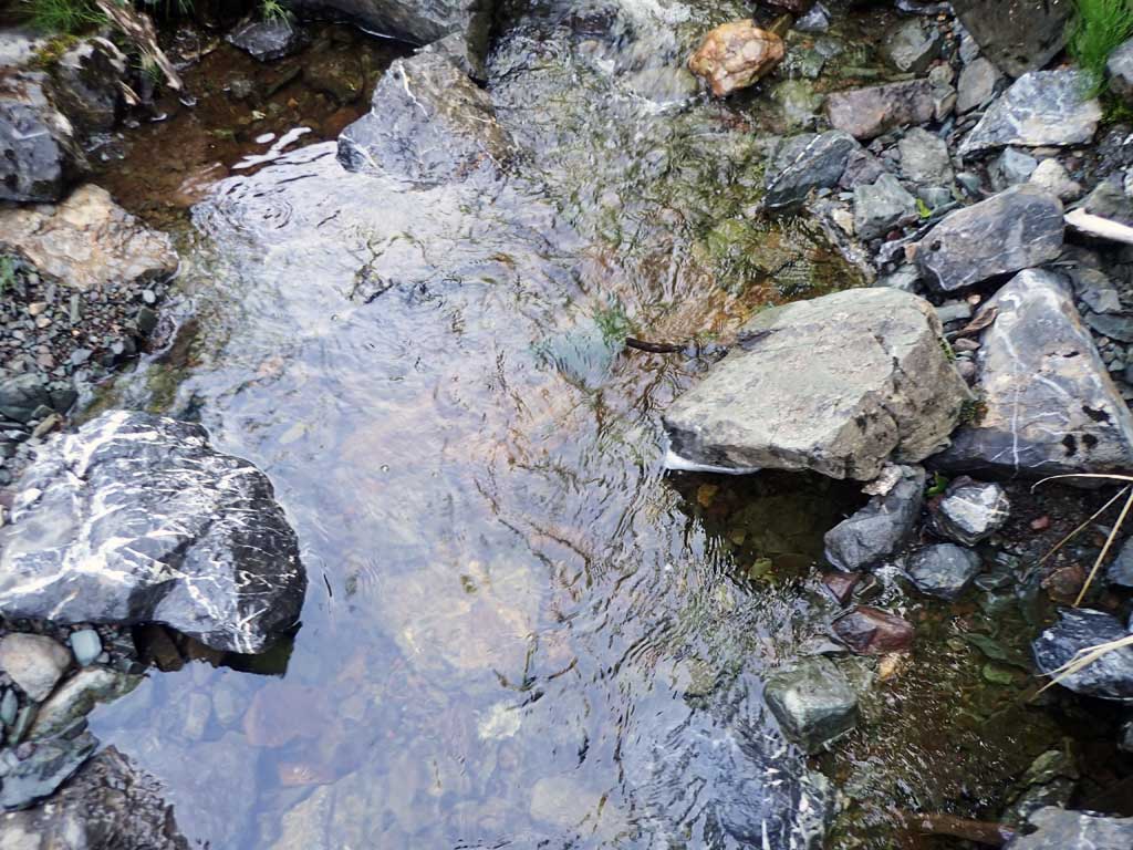
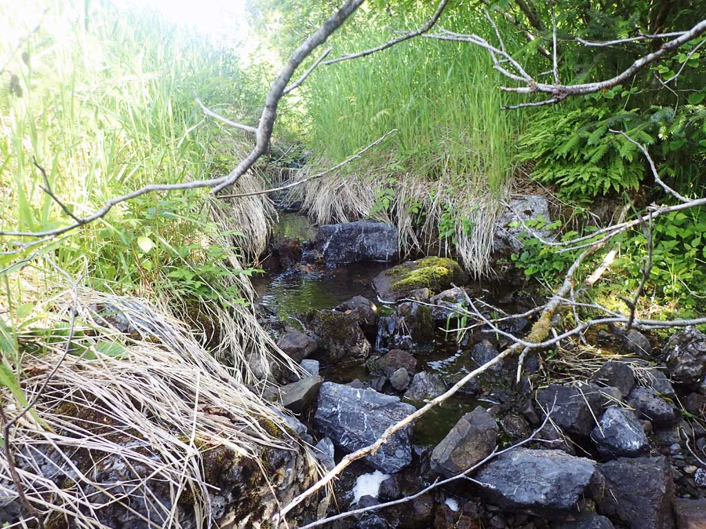
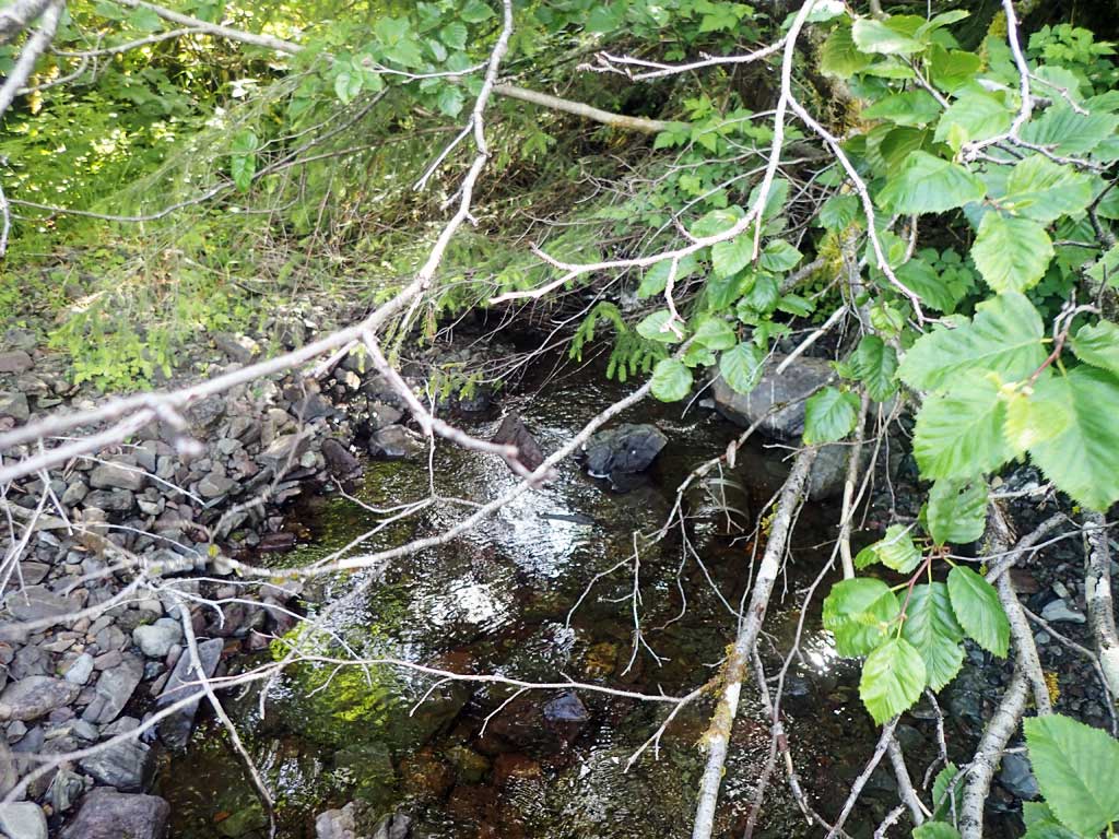
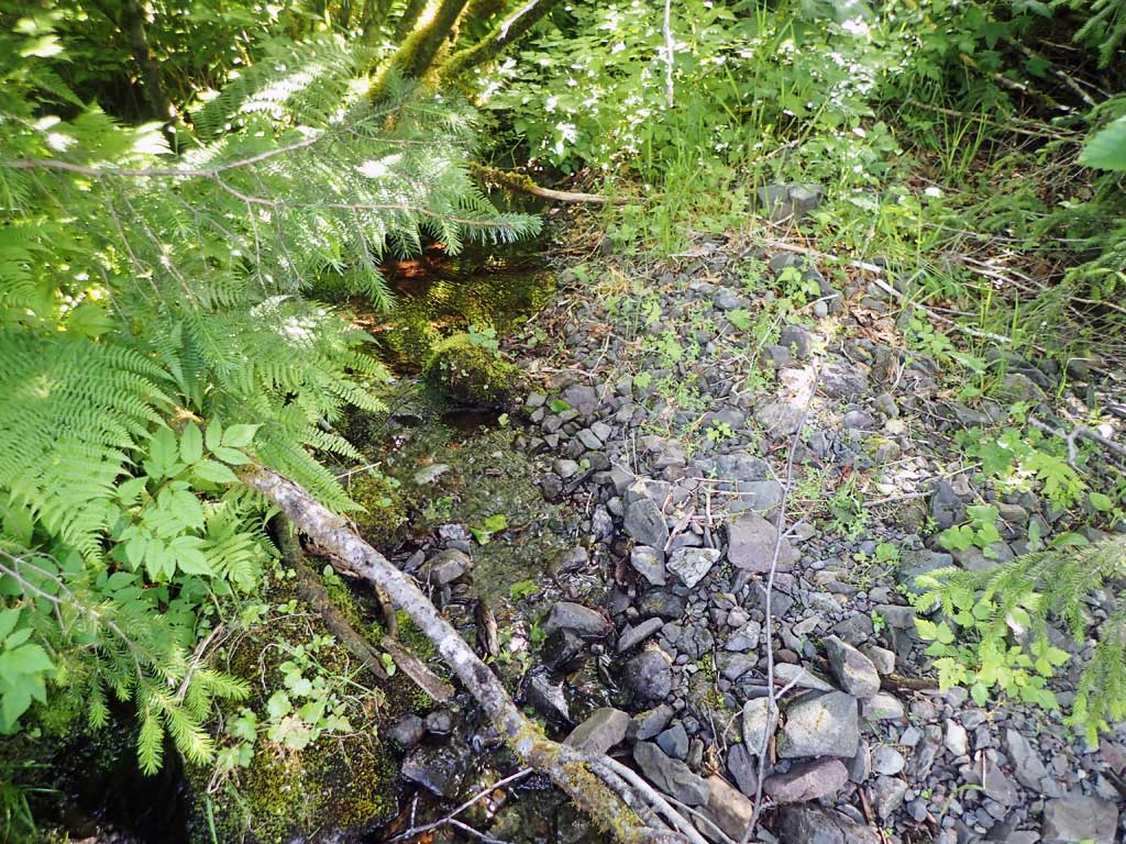
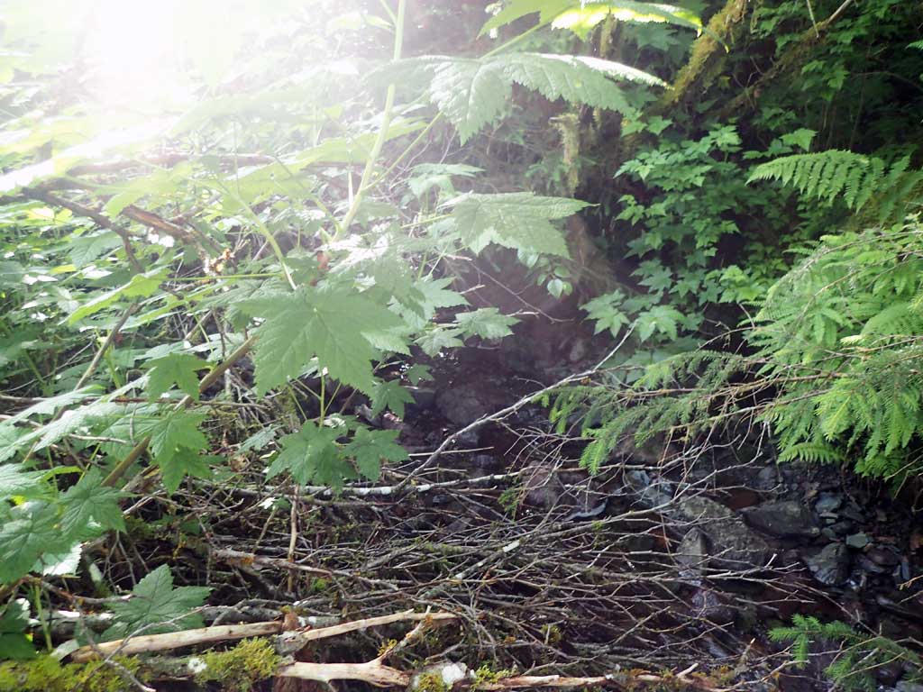
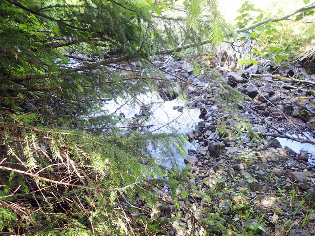
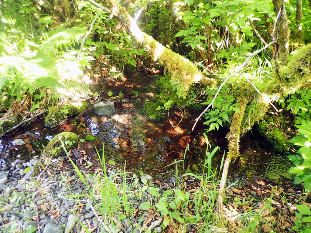
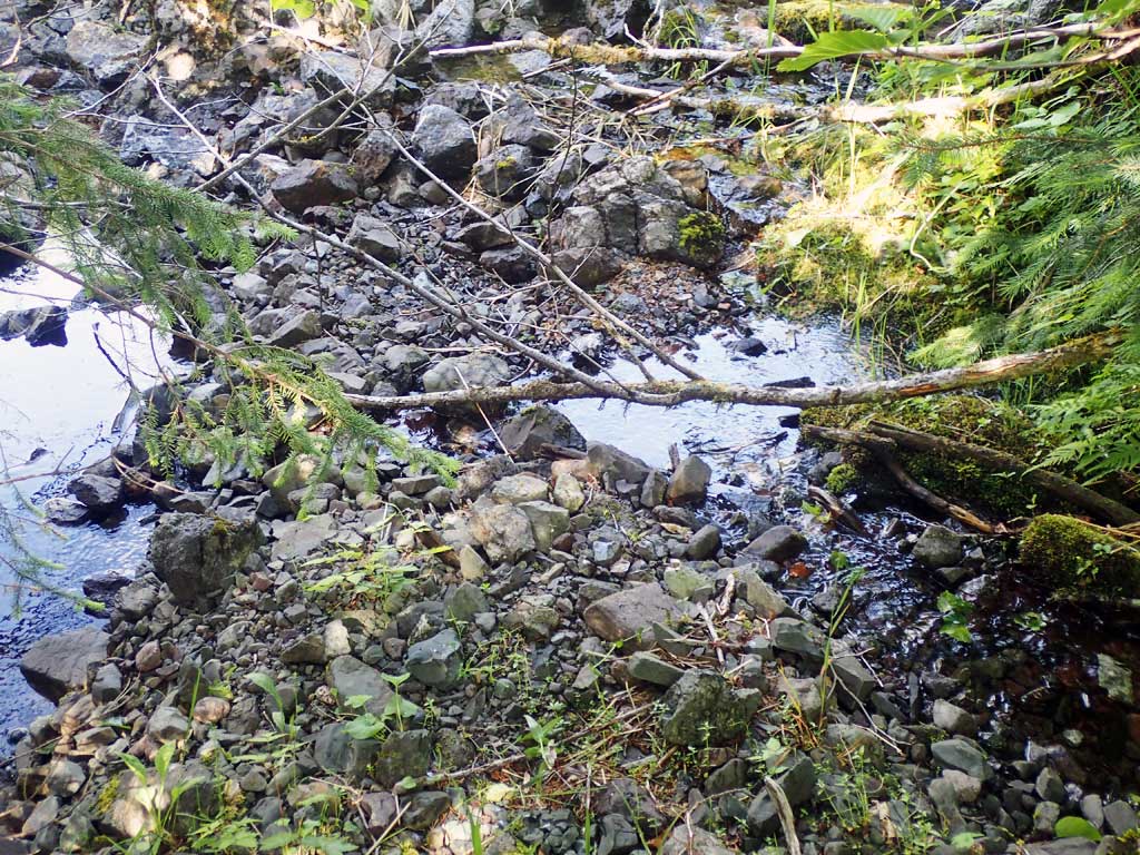
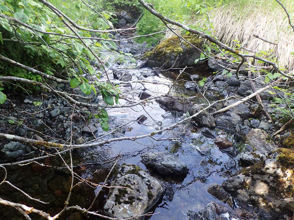
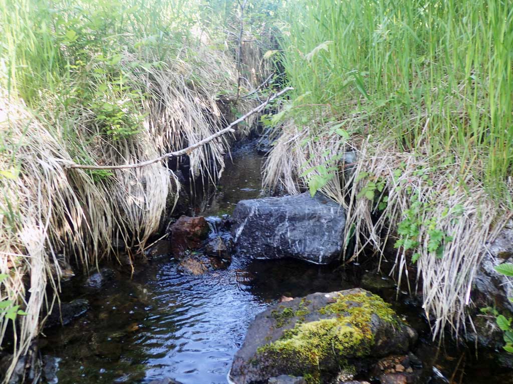
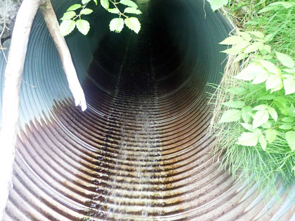
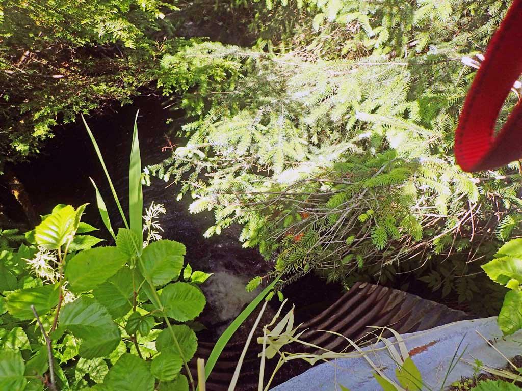
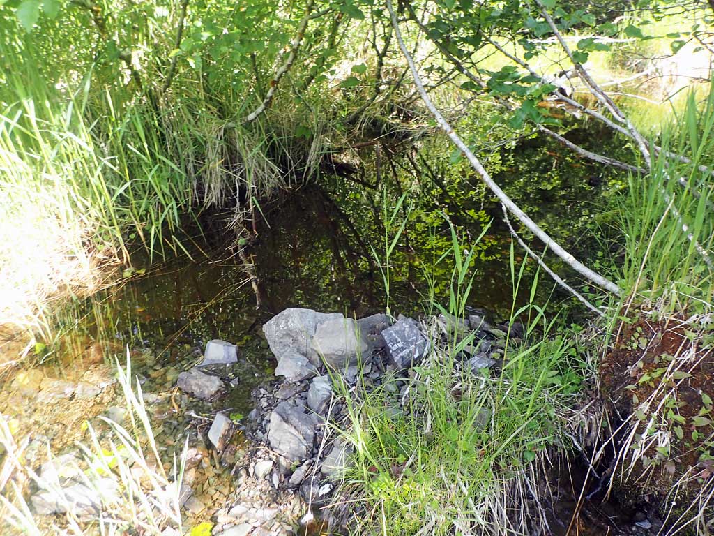
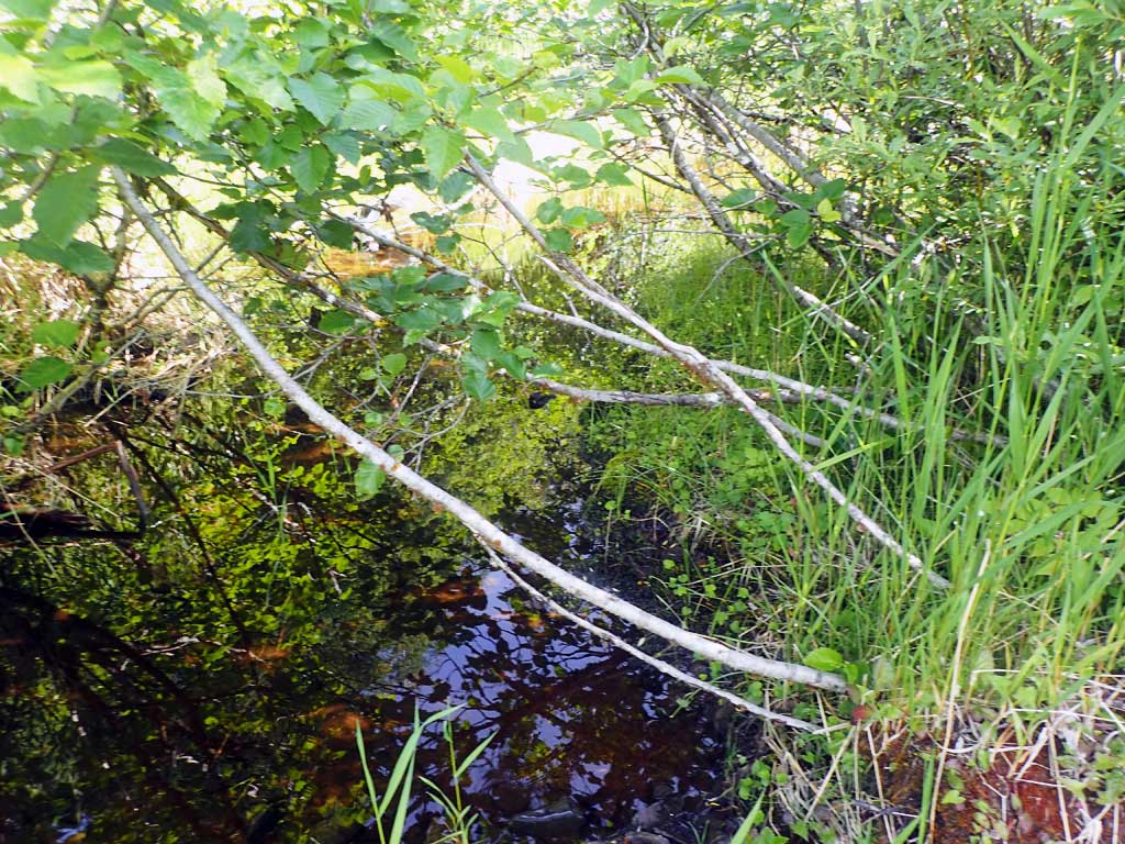
Comments: Upstream the main channel runs alongside parking area in front of old gravel pit. Shallow, few pools and some subsurface flow. Two tributaries upstream - one flows trhough gravel pit, one runs along road ditch. Outfall 2ft high to deep >4ft pool, Downstream goes partly subsurface after 80ft. 5ft width changes to 2ft.
Culvert Measurements
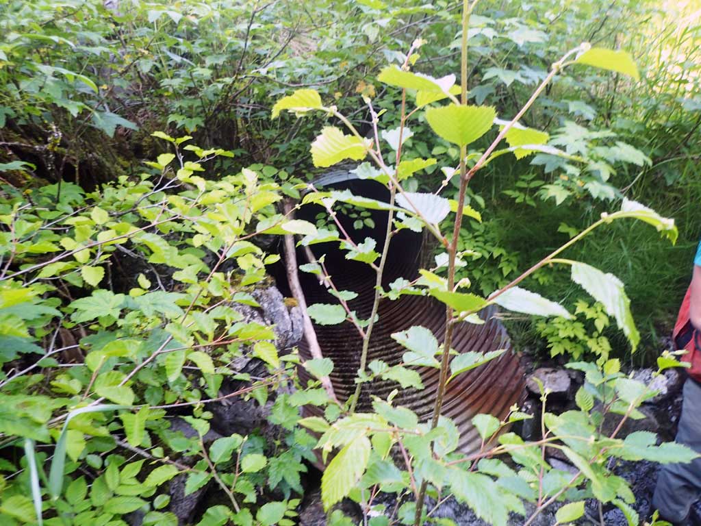
| ID: 1 | Structure Type: Circular pipe (Corrugated steel) | Fish Passage Rating: | |||||||||||||||||||||||||||||||||||||||||
|
|
|
|||||||||||||||||||||||||||||||||||||||||
Comments: Outlet pool too deep to measure safely. Outlet height and width not measured due to deep pool in frnt, steep pipe. Algae in pipe - slippery. Looked same as inlet. Top of culvert length 75.3'. |
|||||||||||||||||||||||||||||||||||||||||||
Culvert Observations:
|
|||||||||||||||||||||||||||||||||||||||||||
Stream Measurements
|
|
| Stream Width Type | Distance From Crossing (ft) |
Stream Width (ft) |
|---|---|---|
| Downstream ordinary high water | 80.0 | 5.00 |
| Upstream ordinary high water | 30.0 | 7.00 |
| Upstream ordinary high water | 150.0 | 4.50 |
| Upstream ordinary high water | 170.0 | 4.00 |
Elevations
| Locator ID | Culvert Number |
River Distance (ft)1 |
Distance From Crossing (ft)2 |
Relative Elevation (ft) |
|---|---|---|---|---|
| Road Elev | 97.69 | |||
| D/S Tailcrest or 1st Thalweg | 0.00 | 78.50 | ||
| D/S Water Surface Elev | 0.00 | 78.70 | ||
| D/S Water Surface Elev (max pool depth too deep to measure) | 10.00 | 78.89 | ||
| Outlet Invert (on pipe) | 30.00 | 80.89 | ||
| D/S Water Surface Elev | 30.00 | 80.94 | ||
| Outlet Culvert Top | 35.00 | 85.90 | ||
| Inlet Culvert Top | 110.30 | 93.95 | ||
| Inlet Culvert Invert | 116.30 | 90.12 | ||
| U/S Water Surface Elev | 116.30 | 90.30 | ||
| U/S Grade Ctrl (Thalweg) | 121.30 | 90.93 | ||
| U/S Water Surface Elev | 121.30 | 91.17 | ||
| U/S Grade Ctrl (Thalweg) | 144.30 | 92.39 | ||
| D/S Water Surface Elev | 144.30 | 92.70 |
Notes:
- River distance is measured continuously throughout the survey reach along the thalweg of the stream.
- Measured from each end of the crossing along the thalweg of the stream.
Fish Sampling Efforts
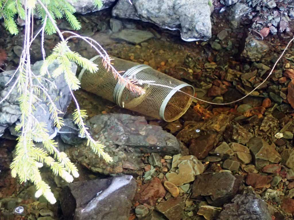
| Gear Type: Minnow Trap (A) | Trap Duration(h): 1.75 | |
| Comments: 50ft upstream, no fish | ||
| Gear Type: Minnow Trap (B) | Trap Duration(h): 1.75 | |
| Comments: 20ft downstream, no fish | ||
Fish Observations
No fish observations occurred during this survey.
Photos

Questions or comments about this report can be directed to dfg.dsf.webmaster@alaska.gov