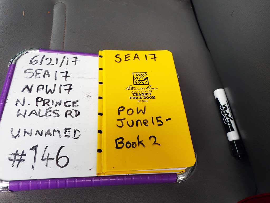
Fish Passage Site 10103583
Coordinates (dec. deg.): 55.77111°, -132.99542°
Legal Description: C070S081E28
Region: Southeast
Road Name: North Prince of Wales Road
Datum: NAD83
Quad Name / ITM: Craig D-3
AWC Stream #:
Stream Name: Unnamed
Elevation:
Site Comments: None
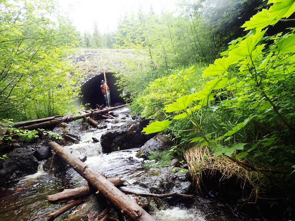
Survey SEA17-NPW17
Observers: Elizabeth Flory, Kelly Petty
Overall Fish Passage Rating:
Tidal: No
Backwatered: No
Step Pools: No
Construction Year:
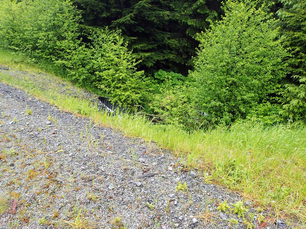
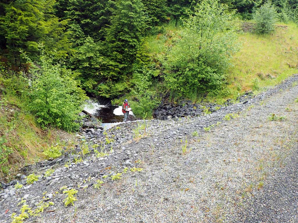
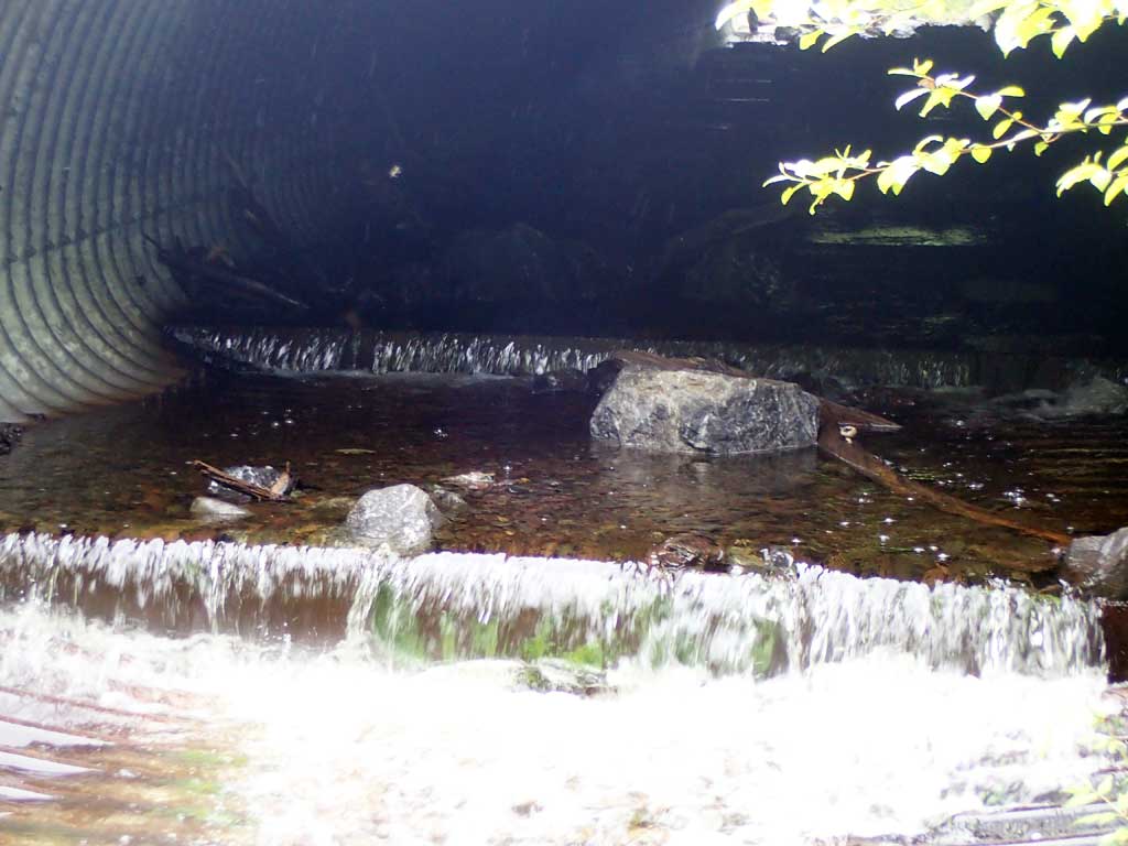
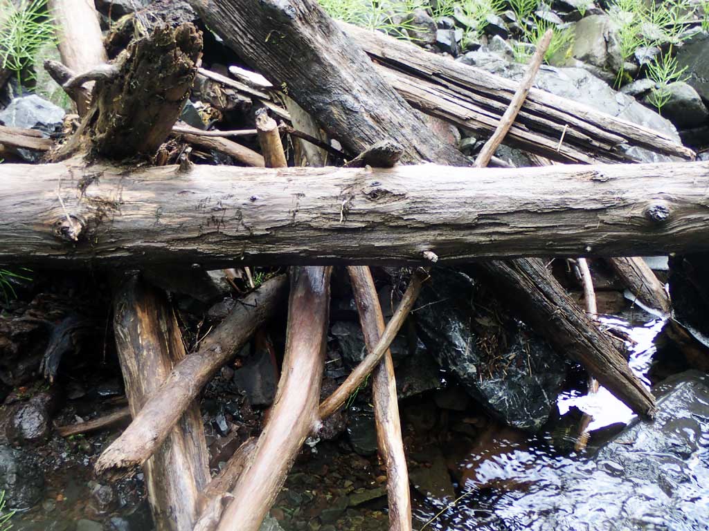
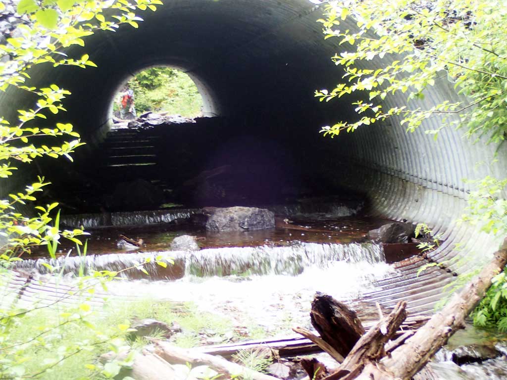
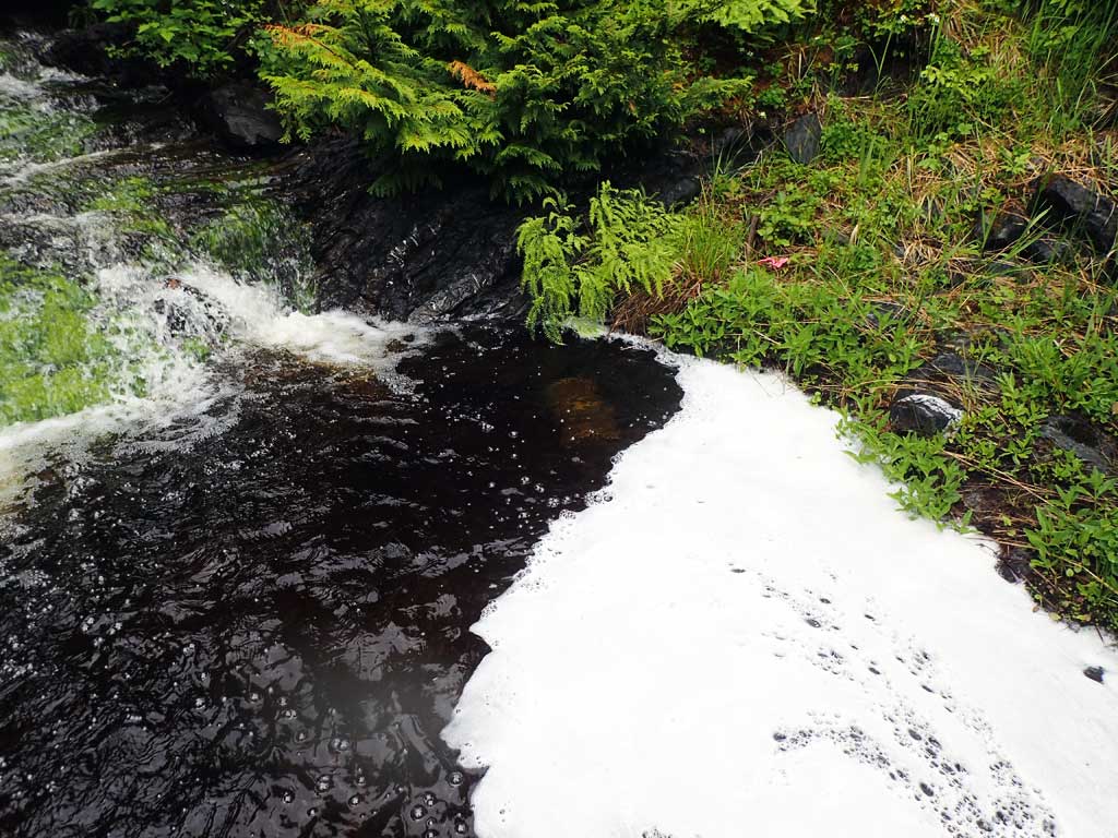
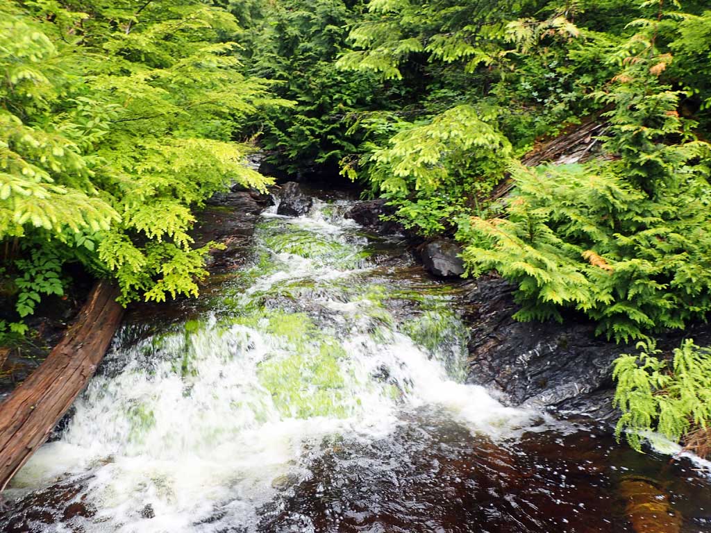
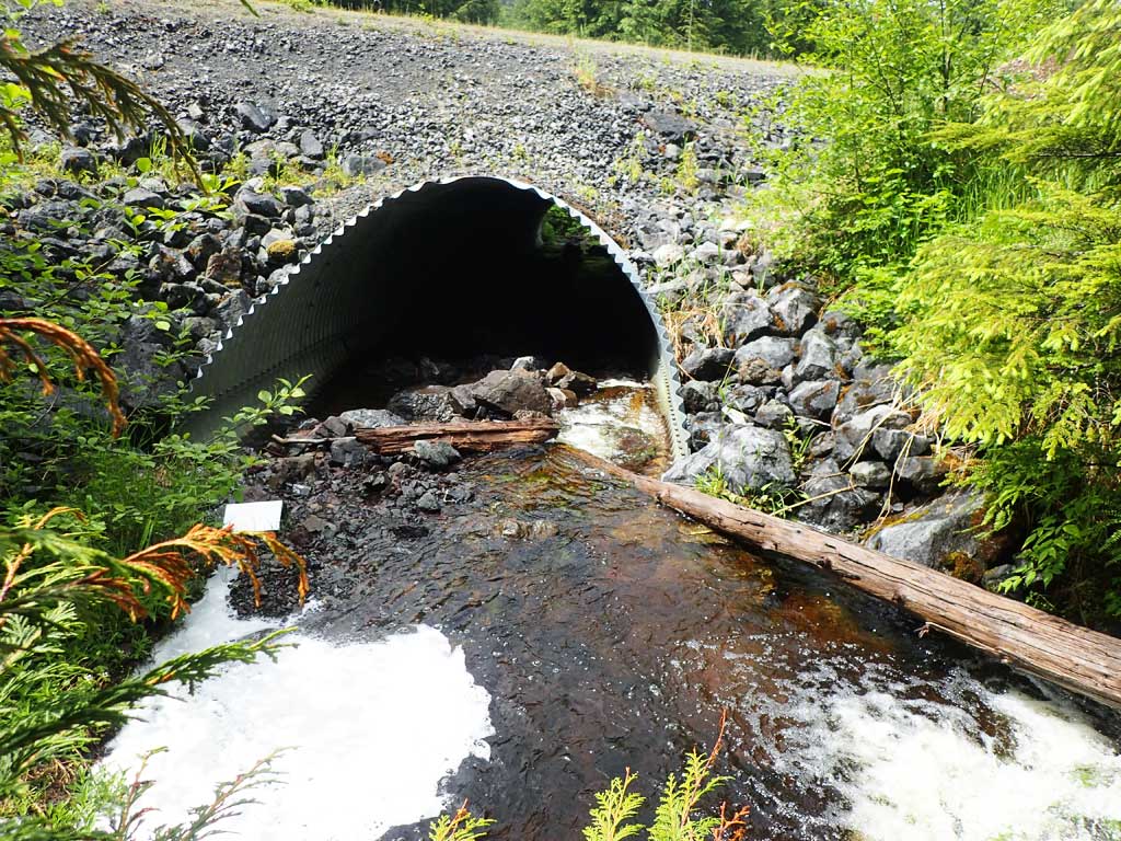
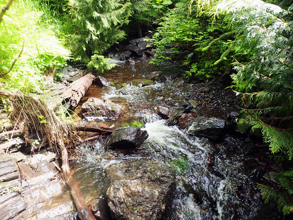
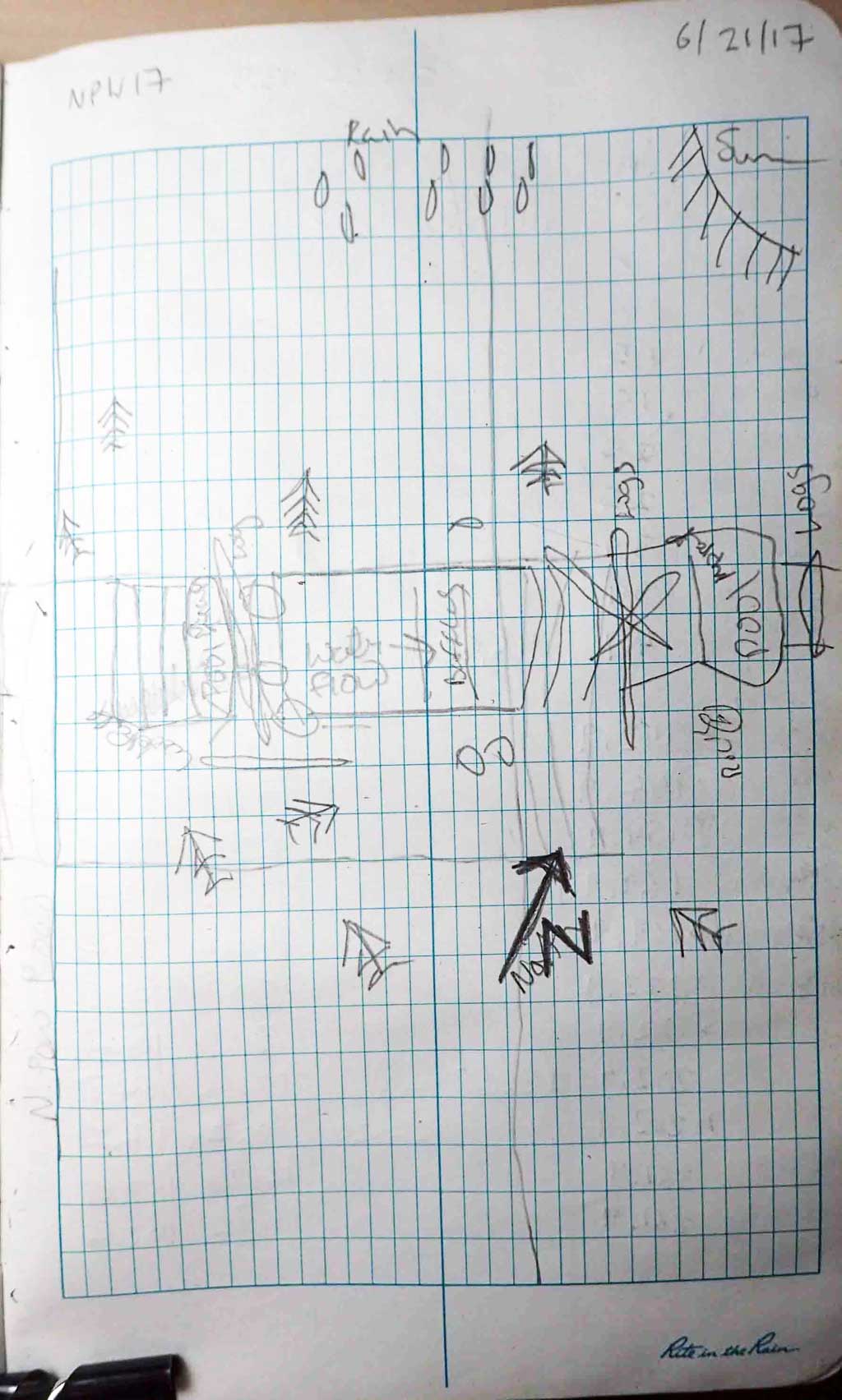
Comments: Baffles present. Upstream has steep bedrock cascades and few resting spots. Downstream less steep. Trout in downstream trap.
Culvert Measurements
| ID: 1 | Structure Type: Pipe-arch (Structural steel plate) | Fish Passage Rating: | |||||||||||||||||||||||||||||||||||||||||
|
|
|
|||||||||||||||||||||||||||||||||||||||||
Comments: Top of culvert length 93.9'. |
|||||||||||||||||||||||||||||||||||||||||||
Stream Measurements
|
|
| Stream Width Type | Distance From Crossing (ft) |
Stream Width (ft) |
|---|---|---|
| Upstream ordinary high water | 50.0 | 6.75 |
| Upstream ordinary high water | 80.0 | 7.50 |
| Upstream ordinary high water | 100.0 | 7.00 |
Elevations
| Locator ID | Culvert Number |
River Distance (ft)1 |
Distance From Crossing (ft)2 |
Relative Elevation (ft) |
|---|---|---|---|---|
| Road Elev | 111.70 | |||
| D/S Water Surface Elev | 0.00 | 87.22 | ||
| D/S Grade Ctrl (Thalweg) | 0.00 | 86.79 | ||
| D/S Grade Ctrl (Thalweg) (pool) | 15.00 | 87.19 | ||
| D/S Water Surface Elev | 15.00 | 87.93 | ||
| D/S Grade Ctrl (Thalweg) | 25.00 | 89.89 | ||
| D/S Water Surface Elev | 25.00 | 90.10 | ||
| Outlet Invert | 39.00 | 91.16 | ||
| D/S Water Surface Elev | 39.00 | 91.51 | ||
| Outlet Culvert Top | 49.00 | 100.00 | ||
| Inlet Culvert Top | 142.90 | 105.77 | ||
| U/S Water Surface Elev | 154.90 | 99.82 | ||
| Inlet Culvert Invert | 154.90 | 99.12 | ||
| U/S Water Surface Elev | 169.90 | 99.67 | ||
| U/S Grade Ctrl (Thalweg) (pool) | 169.90 | 97.58 | ||
| U/S Grade Ctrl (Thalweg) | 172.90 | 101.50 | ||
| U/S Water Surface Elev | 172.90 | 103.48 | ||
| U/S Grade Ctrl (Thalweg) | 202.90 | 104.38 | ||
| U/S Water Surface Elev | 202.90 | 104.83 | ||
| U/S Grade Ctrl (Thalweg) (near top of bedrock cascade) | 261.90 | 109.66 | ||
| U/S Water Surface Elev | 261.90 | 109.68 |
Notes:
- River distance is measured continuously throughout the survey reach along the thalweg of the stream.
- Measured from each end of the crossing along the thalweg of the stream.
Fish Sampling Efforts
| Gear Type: Minnow Trap (A) | Trap Duration(h): 2.3 | |
| Comments: no fish | ||
| Gear Type: Minnow Trap (B) | Trap Duration(h): 2.3 | |
| Comments: 20ft downstream 1 cutthroat | ||
Fish Observations
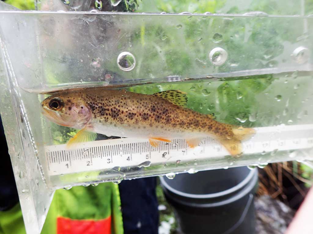
| Species: juvenile cutthroat trout | Life History: | ||
| Total Fish Observed: 1 | Fish Measured: 1 | Fork Lengths (mm) Min: 119 Max: 119 Mean: 119 | |
| Collected/Observed by Gear Type: Downstream Minnow Trap (1) | |||
Photos


Questions or comments about this report can be directed to dfg.dsf.webmaster@alaska.gov