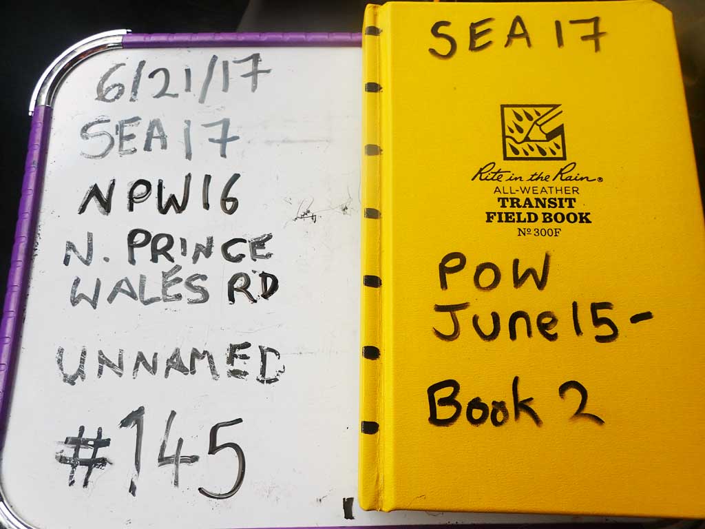
Fish Passage Site 10103582
Coordinates (dec. deg.): 55.77264°, -132.99783°
Legal Description: C070S081E28
Region: Southeast
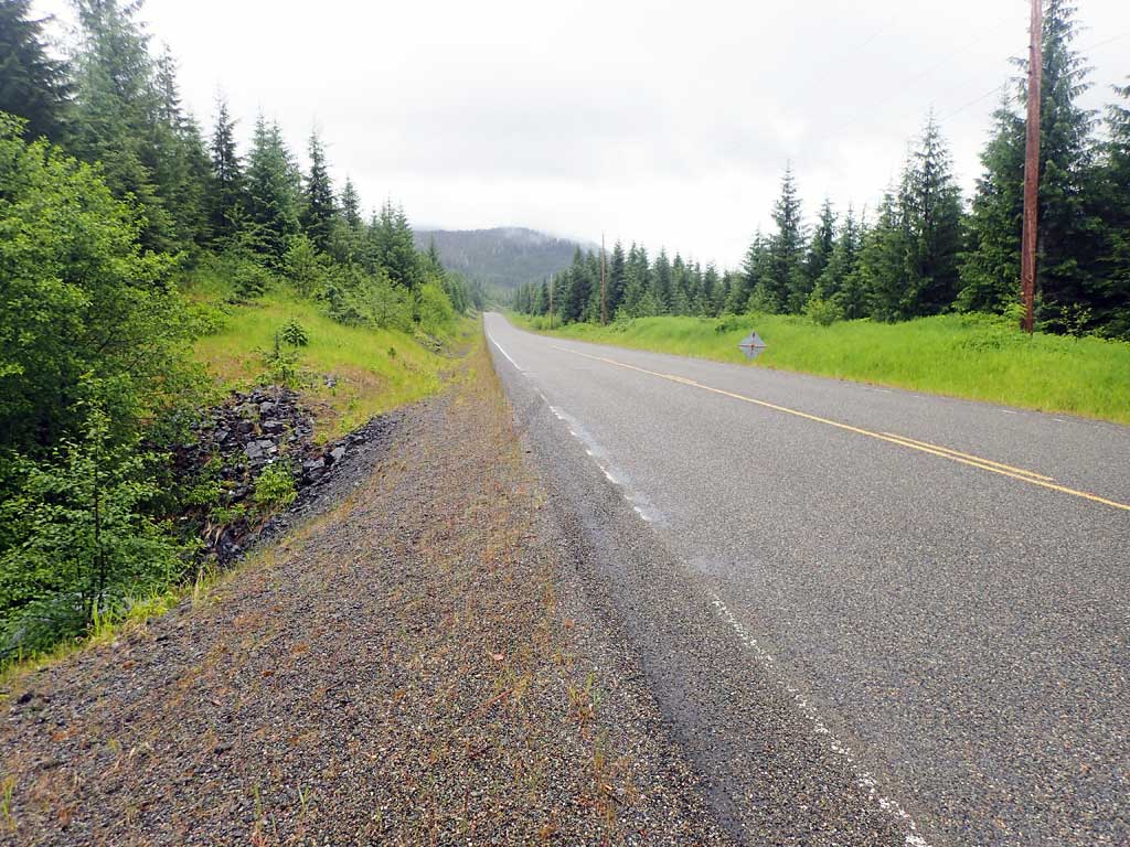
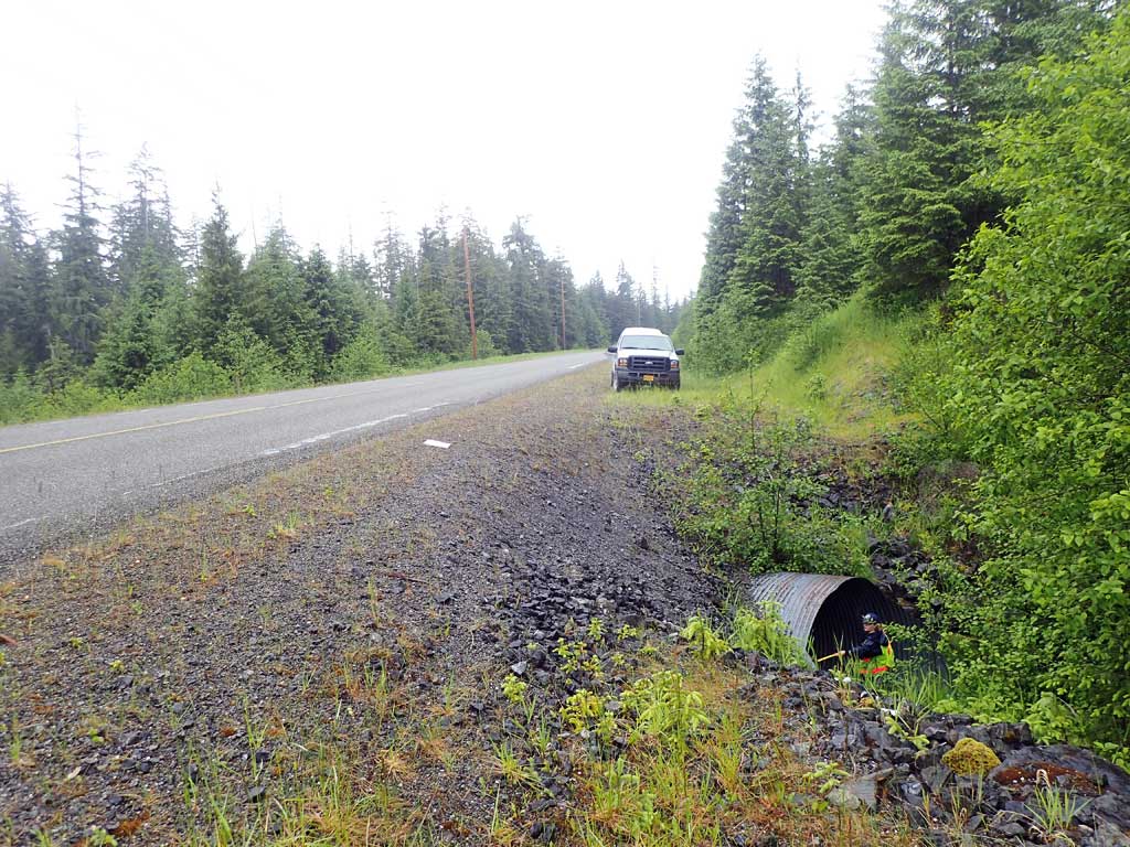
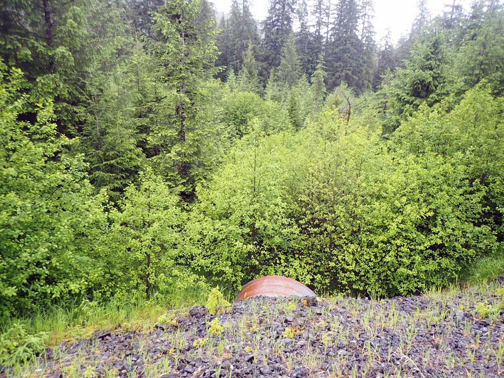
Road Name: North Prince of Wales Road
Datum: NAD83
Quad Name / ITM: Craig D-3
AWC Stream #:
Stream Name: Unnamed
Elevation:
Site Comments: None
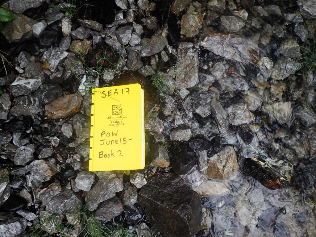
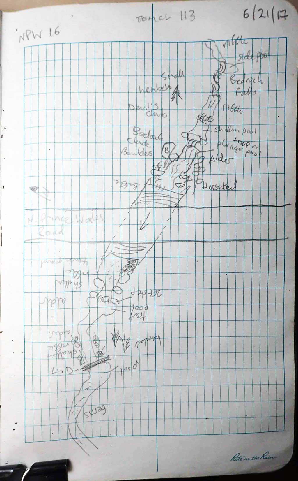
Survey SEA17-NPW16
Observers: Elizabeth Flory, Kelly Petty
Overall Fish Passage Rating:
Tidal: No
Backwatered: No
Step Pools: No
Construction Year:
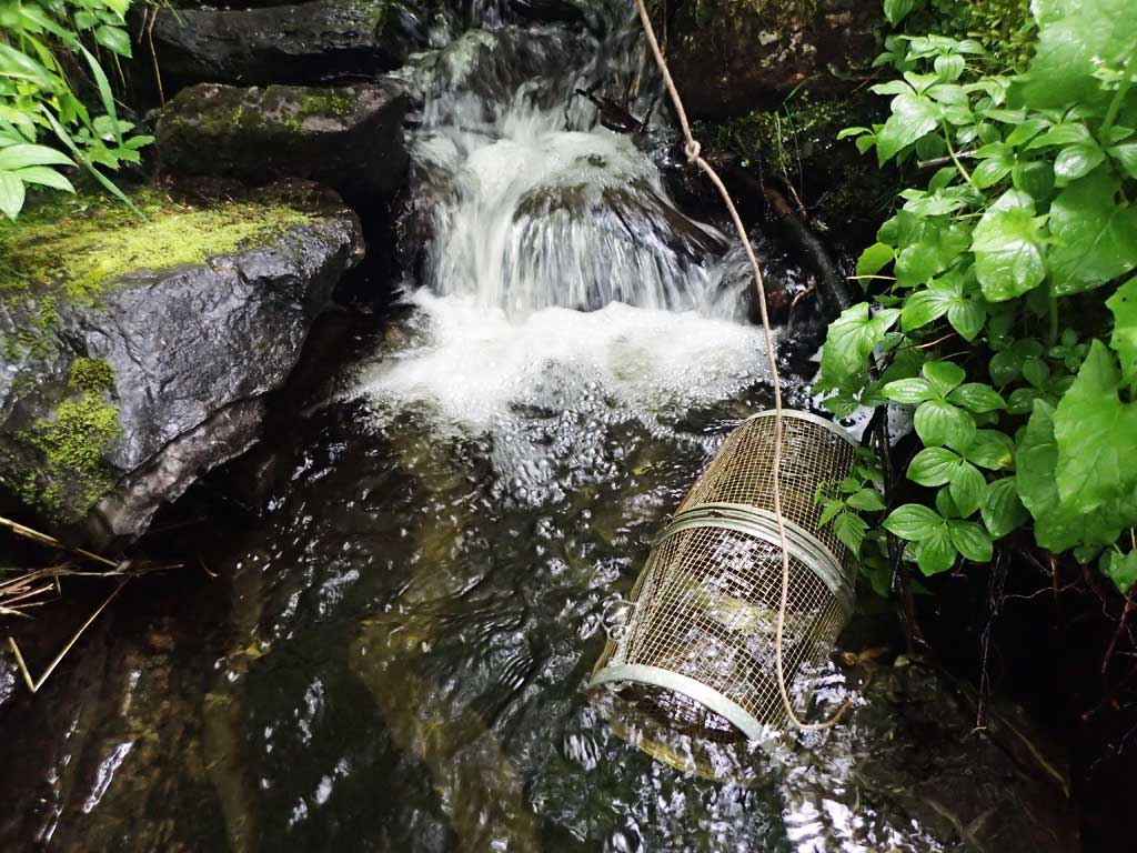
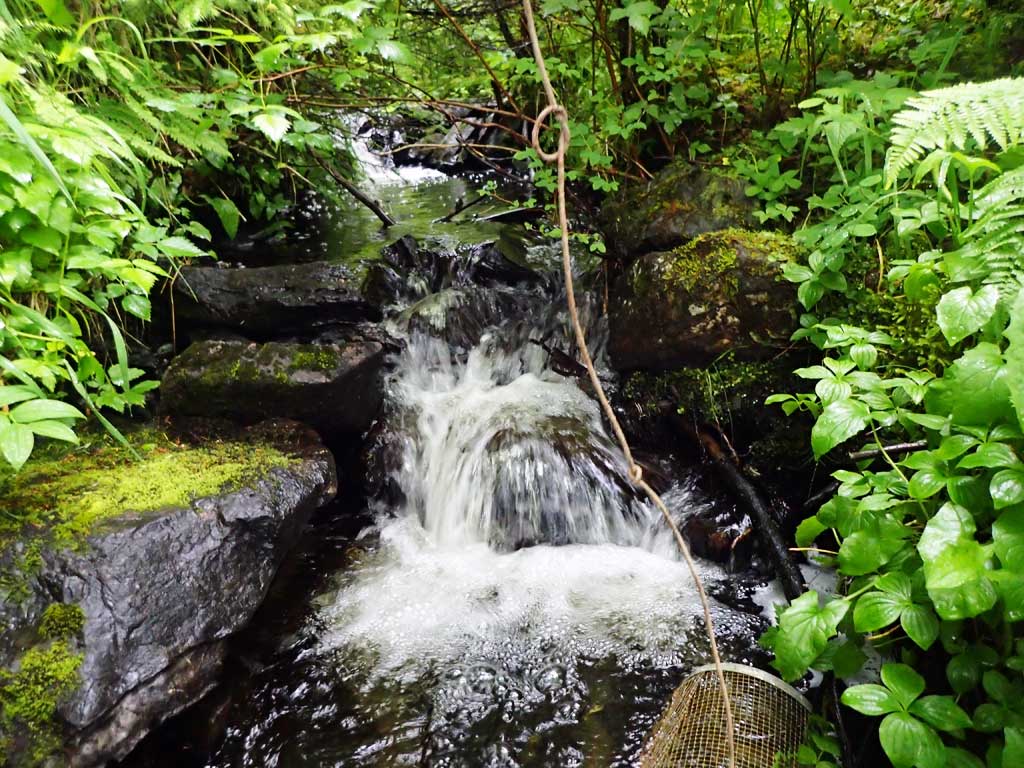
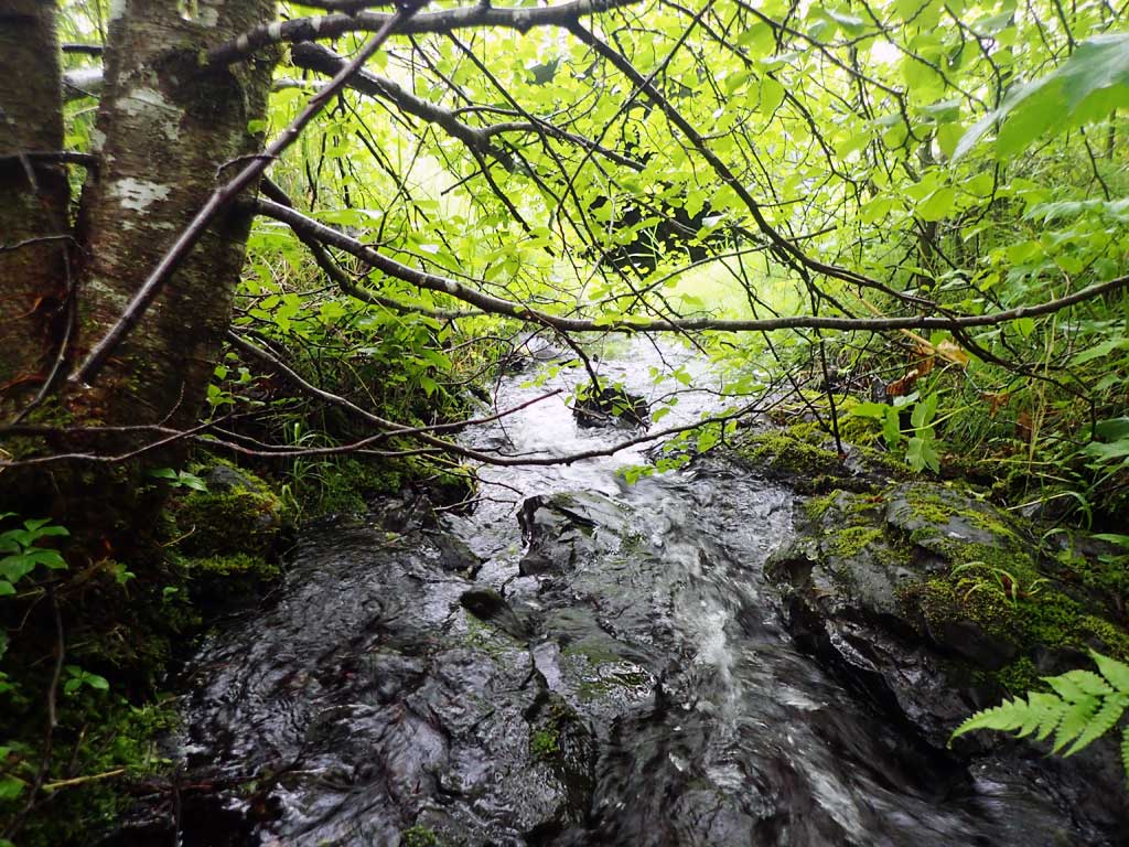
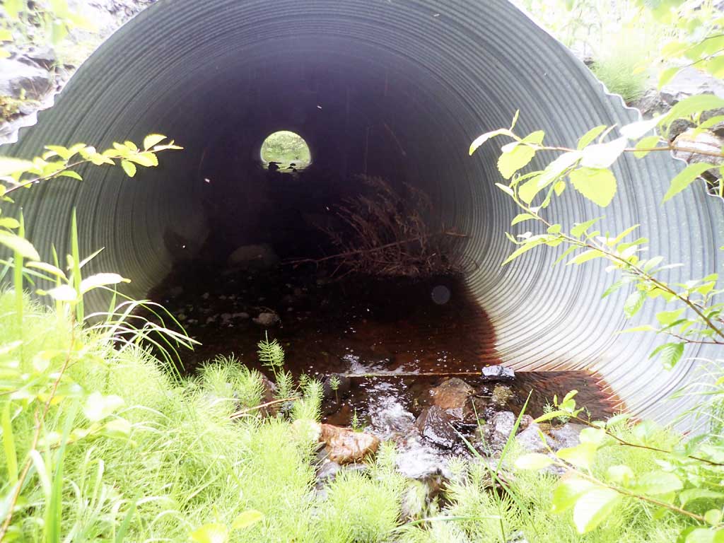
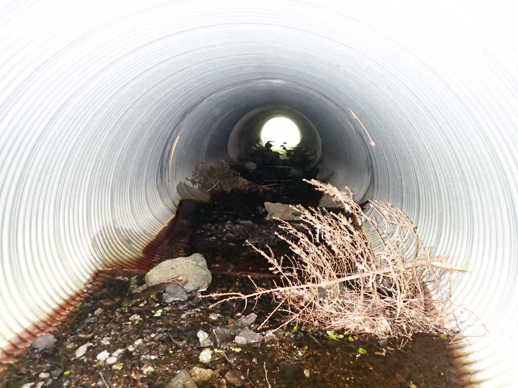
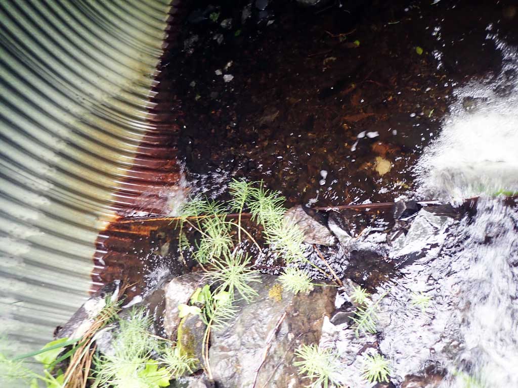
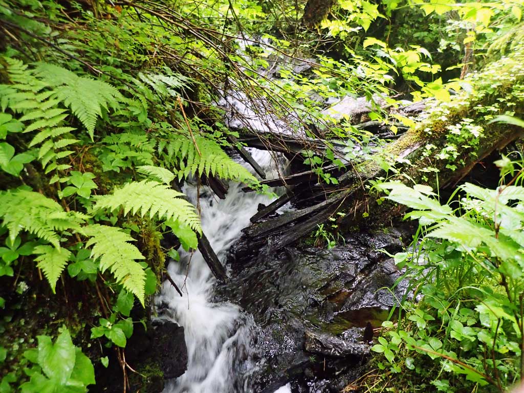
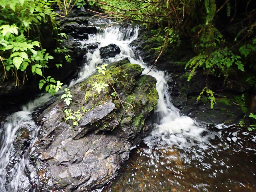
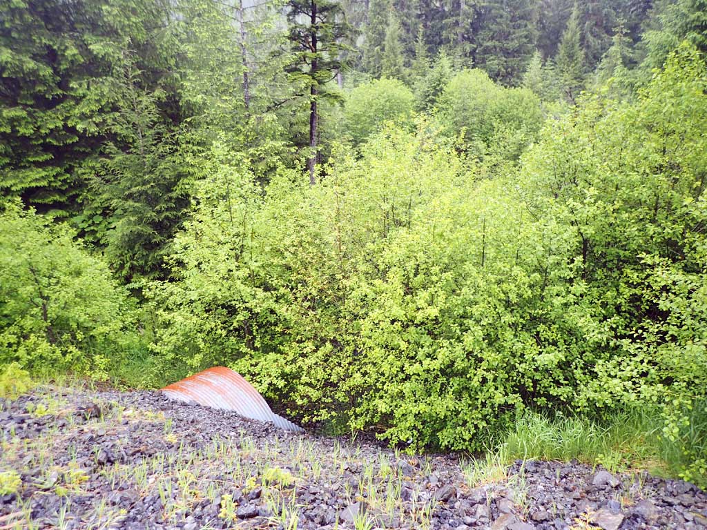
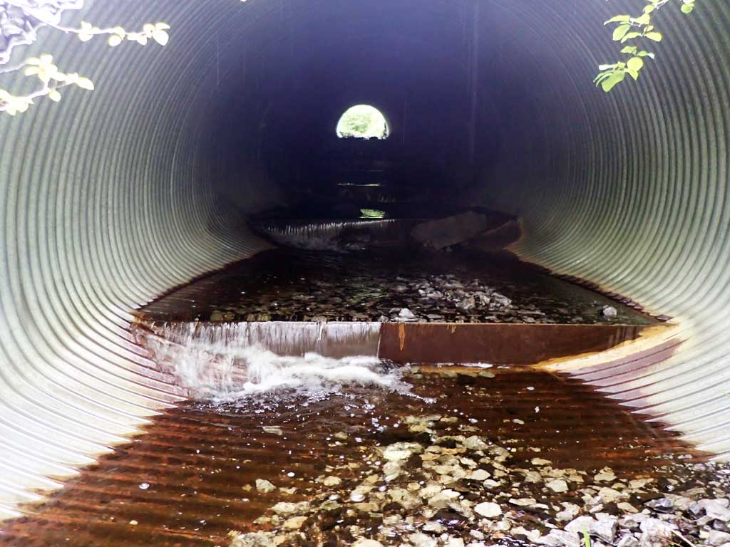
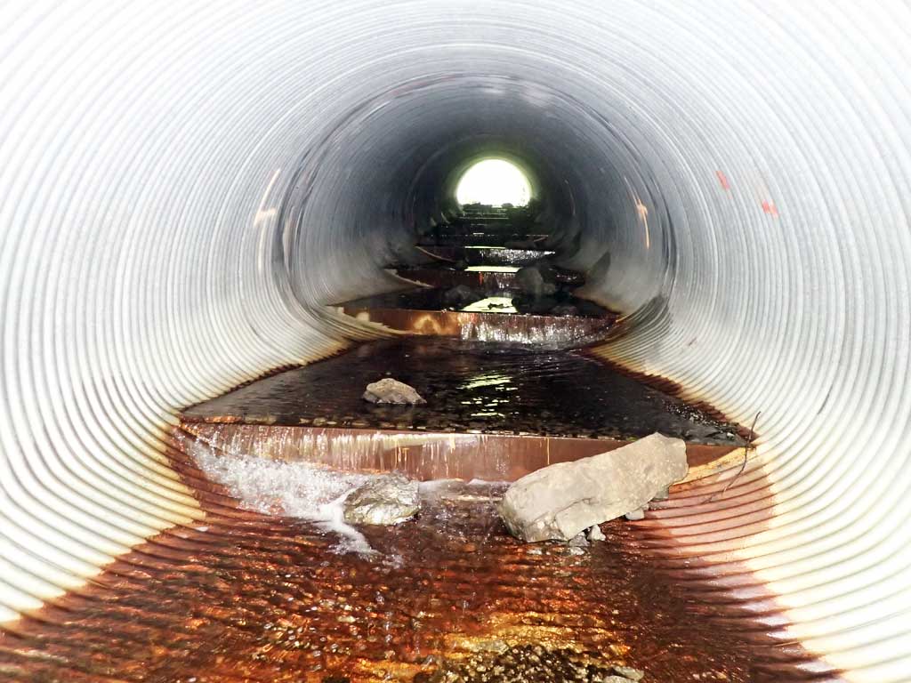
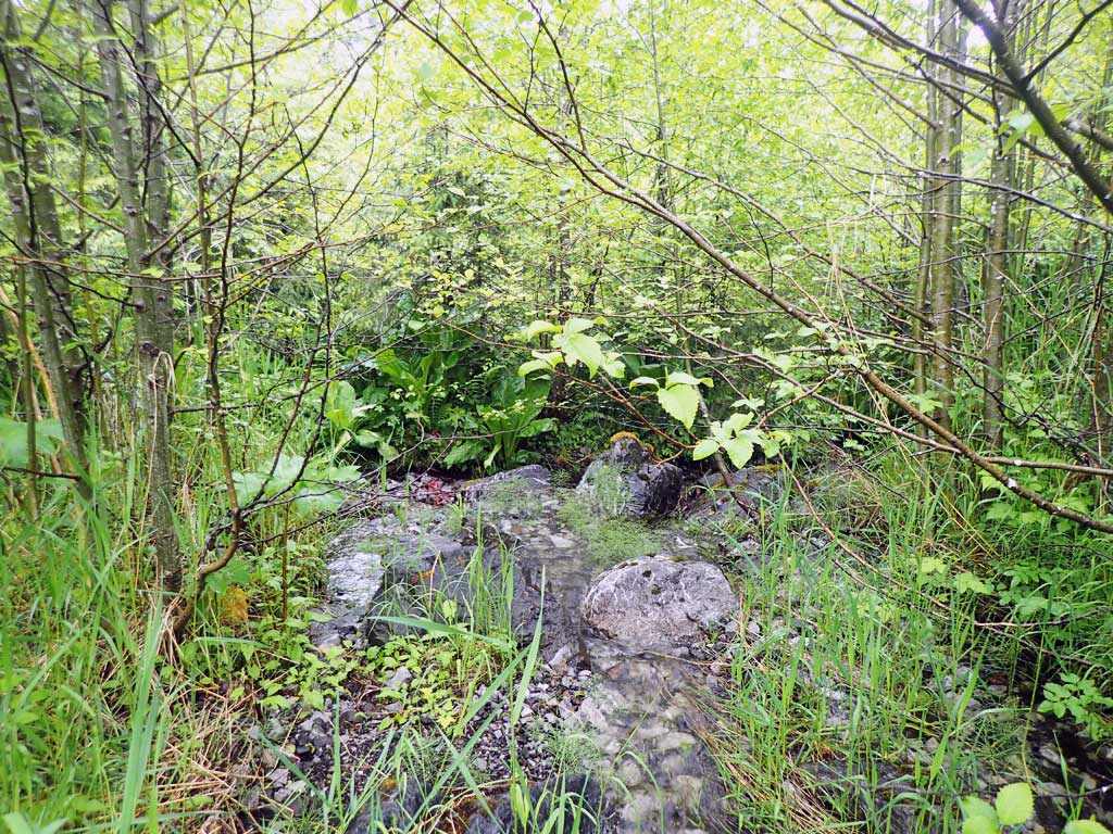
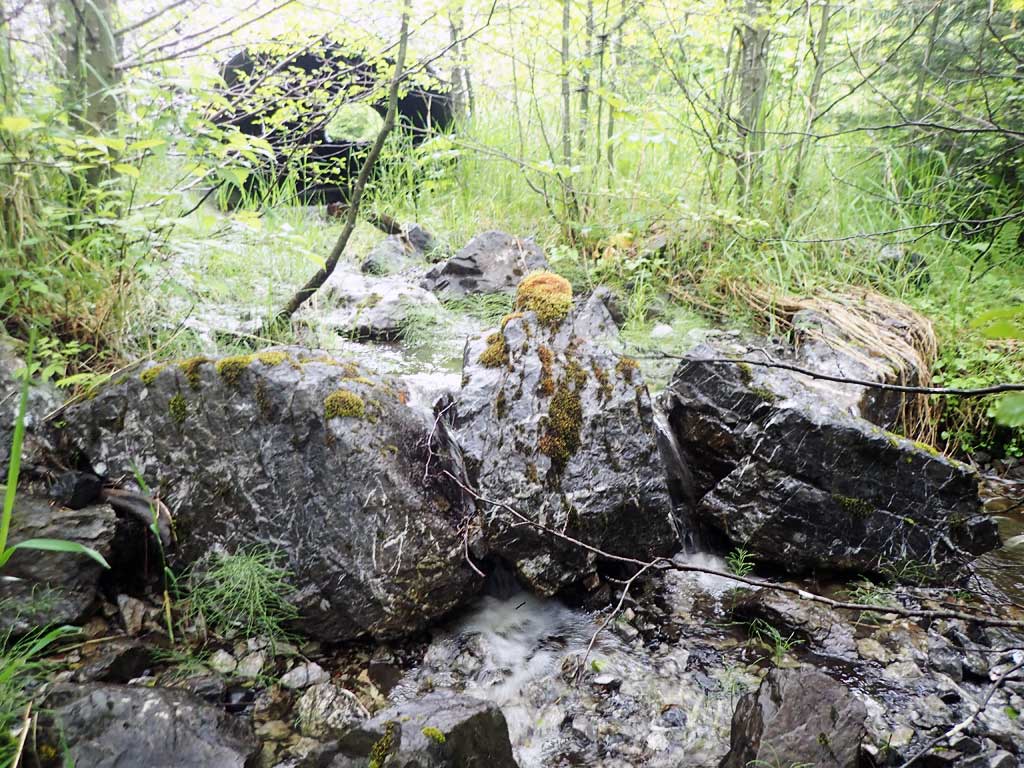
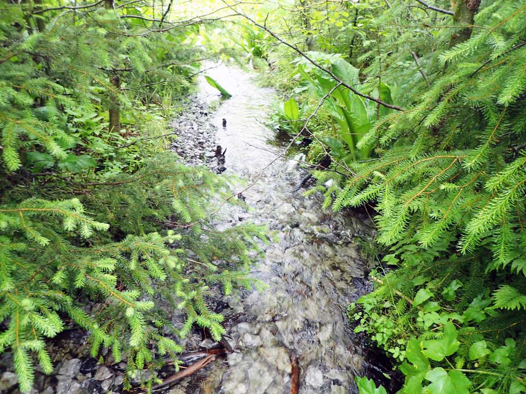
Comments: Steel pipe with baffles. Bedrock control upstream and downstream. 2ft high boulder step just downstream from outlet. Downstream goes into tall ferns. No fish caught.
Culvert Measurements
| ID: 1 | Structure Type: Circular pipe (Corrugated steel) | Fish Passage Rating: | |||||||||||||||||||||||||||||||||||||||||
|
|
|
|||||||||||||||||||||||||||||||||||||||||
Comments: Unsure on substrate depth at outlet. Stream gradient not measured due to brush but looked similar to pipe gradient. Top of culvert length 113'. Substrate depths at inlet and outlet not measured. Baffles holding sediment. |
|||||||||||||||||||||||||||||||||||||||||||
Stream Measurements
|
|
| Stream Width Type | Distance From Crossing (ft) |
Stream Width (ft) |
|---|---|---|
| Upstream ordinary high water | 50.0 | 3.20 |
| Upstream ordinary high water | 100.0 | 4.90 |
| Upstream ordinary high water | 150.0 | 5.50 |
Elevations
| Locator ID | Culvert Number |
River Distance (ft)1 |
Distance From Crossing (ft)2 |
Relative Elevation (ft) |
|---|---|---|---|---|
| Road Elev | 117.02 | |||
| D/S Grade Ctrl (Thalweg) | 0.00 | 88.84 | ||
| D/S Water Surface Elev | 0.00 | 88.90 | ||
| D/S Grade Ctrl (Thalweg) (pool) | 14.00 | 88.98 | ||
| D/S Water Surface Elev | 14.00 | 89.07 | ||
| D/S Water Surface Elev | 15.00 | 91.20 | ||
| D/S Grade Ctrl (Thalweg) | 15.00 | 91.35 | ||
| Outlet Invert (on substrate) | 34.00 | 92.38 | ||
| D/S Water Surface Elev | 34.00 | 92.54 | ||
| Outlet Culvert Top | 39.00 | 100.00 | ||
| Inlet Culvert Top | 152.00 | 109.81 | ||
| Inlet Culvert Invert (too brushy upstream to continue survey, on substrate) | 157.00 | 102.83 | ||
| U/S Water Surface Elev | 157.00 | 103.47 |
Notes:
- River distance is measured continuously throughout the survey reach along the thalweg of the stream.
- Measured from each end of the crossing along the thalweg of the stream.
Fish Sampling Efforts
| Gear Type: Minnow Trap (A) | Trap Duration(h): 1.8 | |
| Comments: no fish | ||
| Gear Type: Minnow Trap (B) | Trap Duration(h): 1.75 | |
| Comments: no fish | ||
Fish Observations
No fish observations occurred during this survey.
Photos


Questions or comments about this report can be directed to dfg.dsf.webmaster@alaska.gov