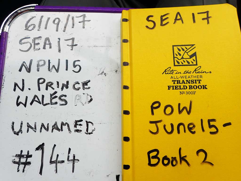
Fish Passage Site 10103581
Coordinates (dec. deg.): 55.77406°, -133.00044°
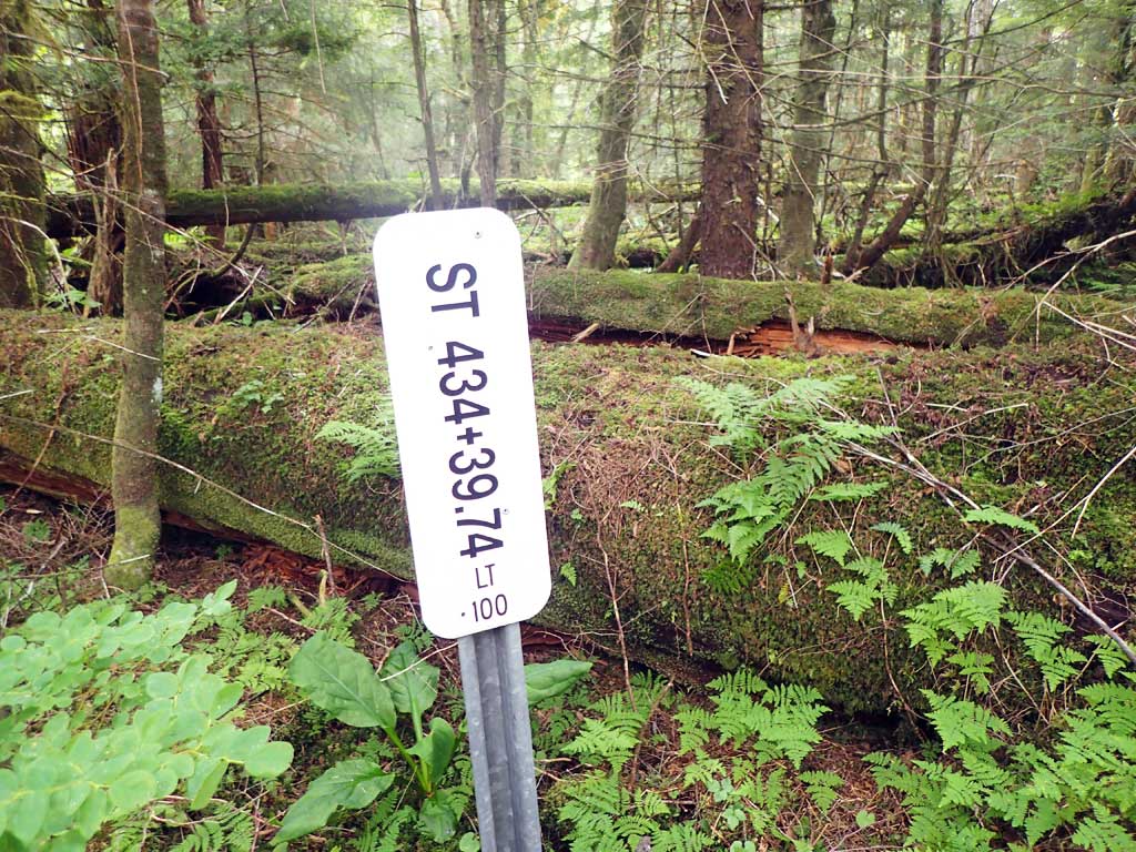
Legal Description: C070S081E28
Region: Southeast
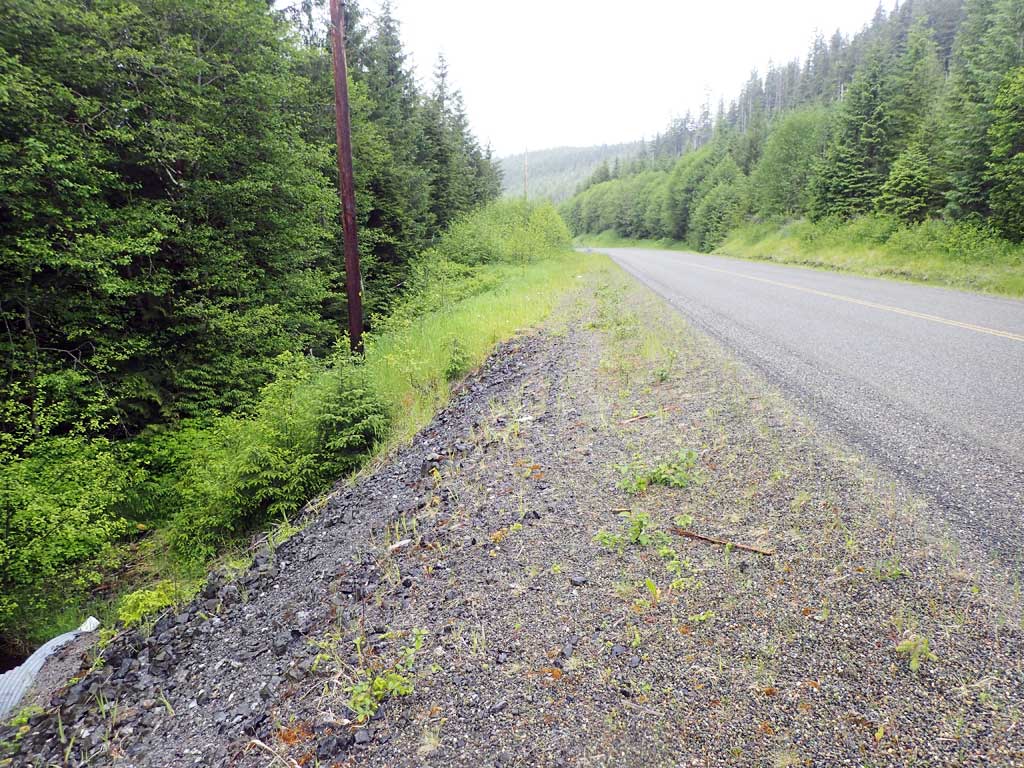
Road Name: North Prince of Wales Road
Datum: NAD83
Quad Name / ITM: Craig D-3
AWC Stream #:
Stream Name: Unnamed
Elevation:
Site Comments: None
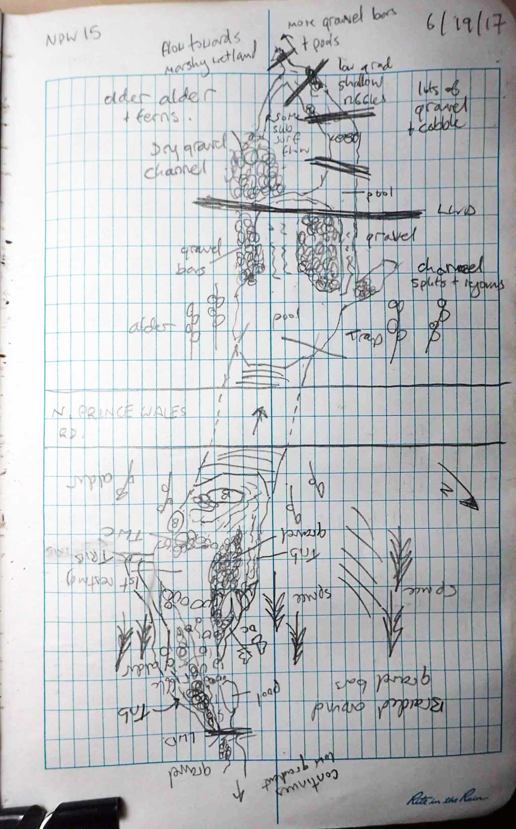
Survey SEA17-NPW15
Observers: Elizabeth Flory, Kelly Petty
Overall Fish Passage Rating:
Tidal: No
Backwatered: No
Step Pools: No
Construction Year:
Site Observations:
- Culvert gradient gray
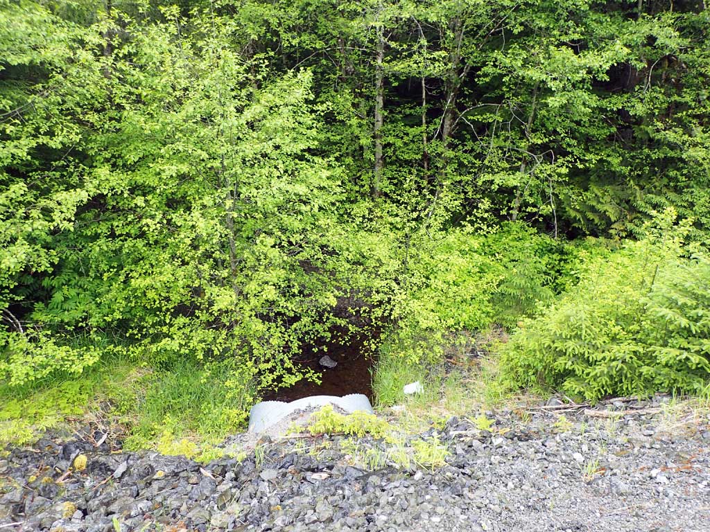
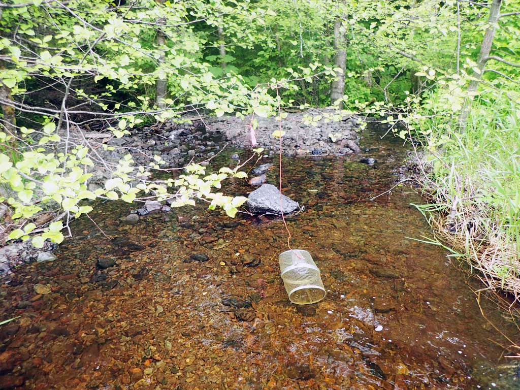
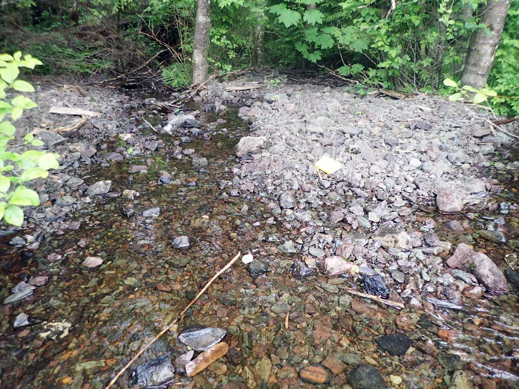
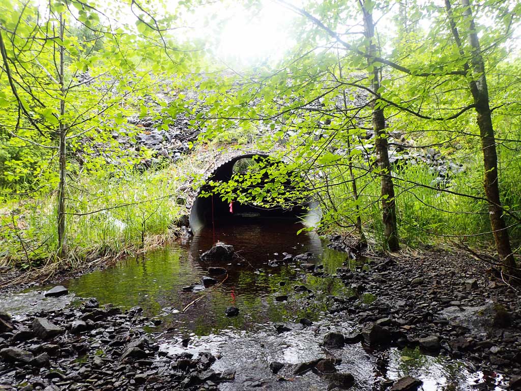
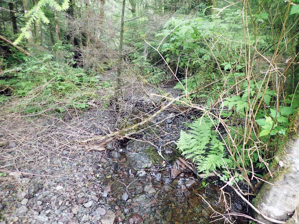
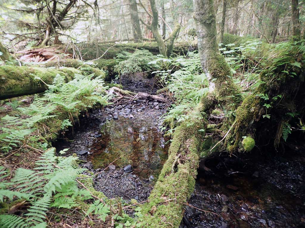
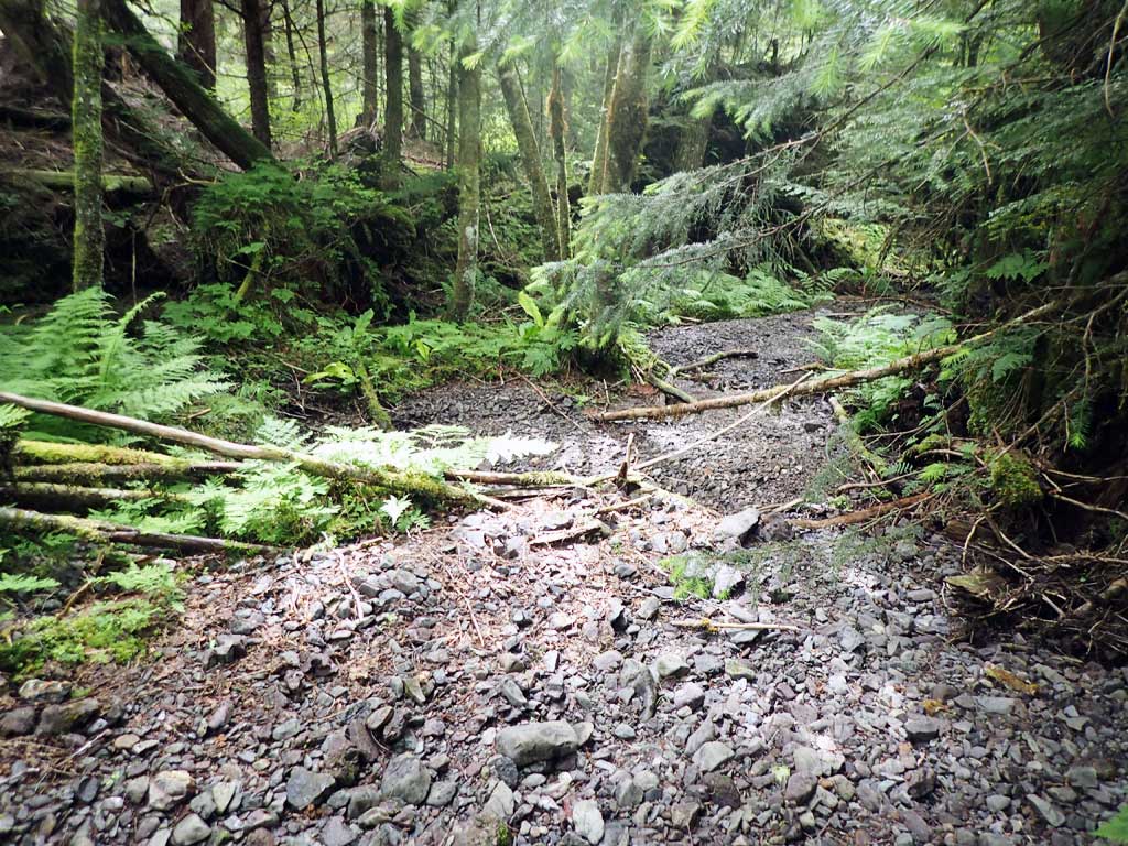
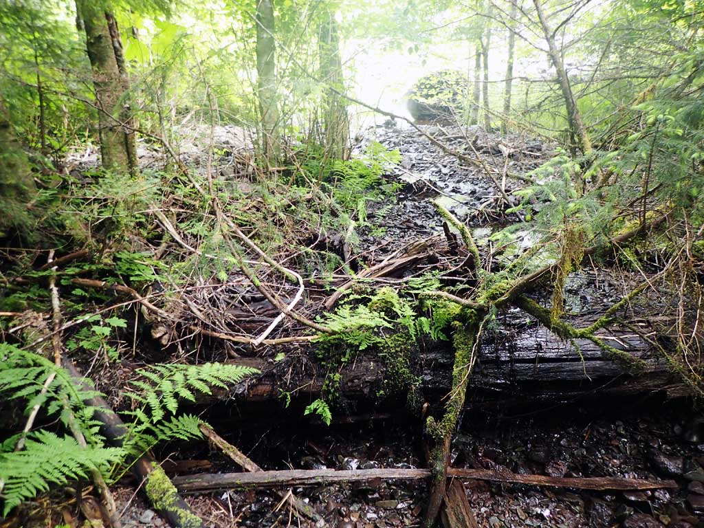
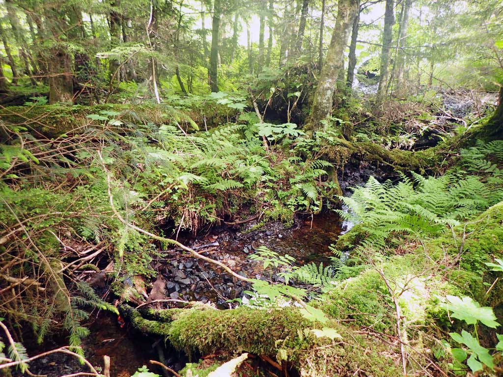
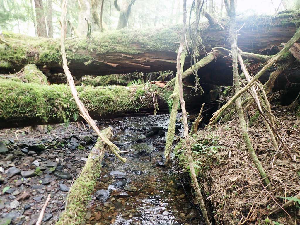
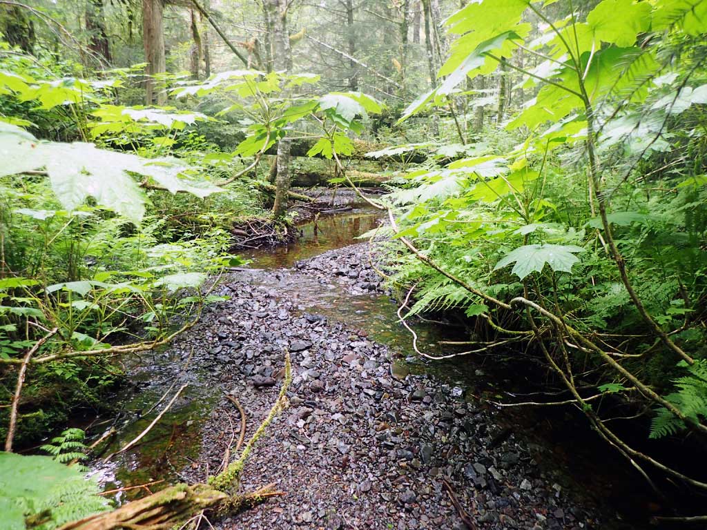
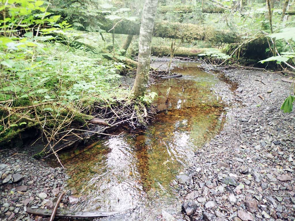
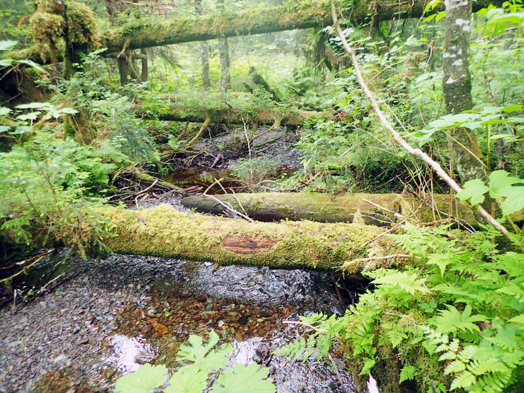
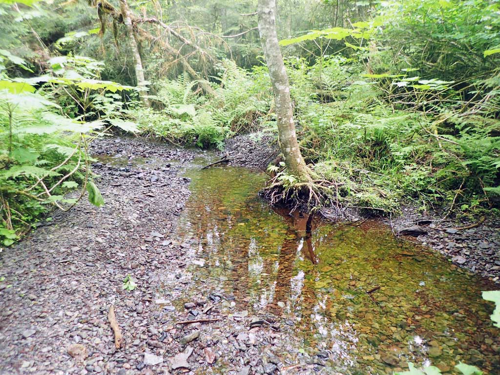
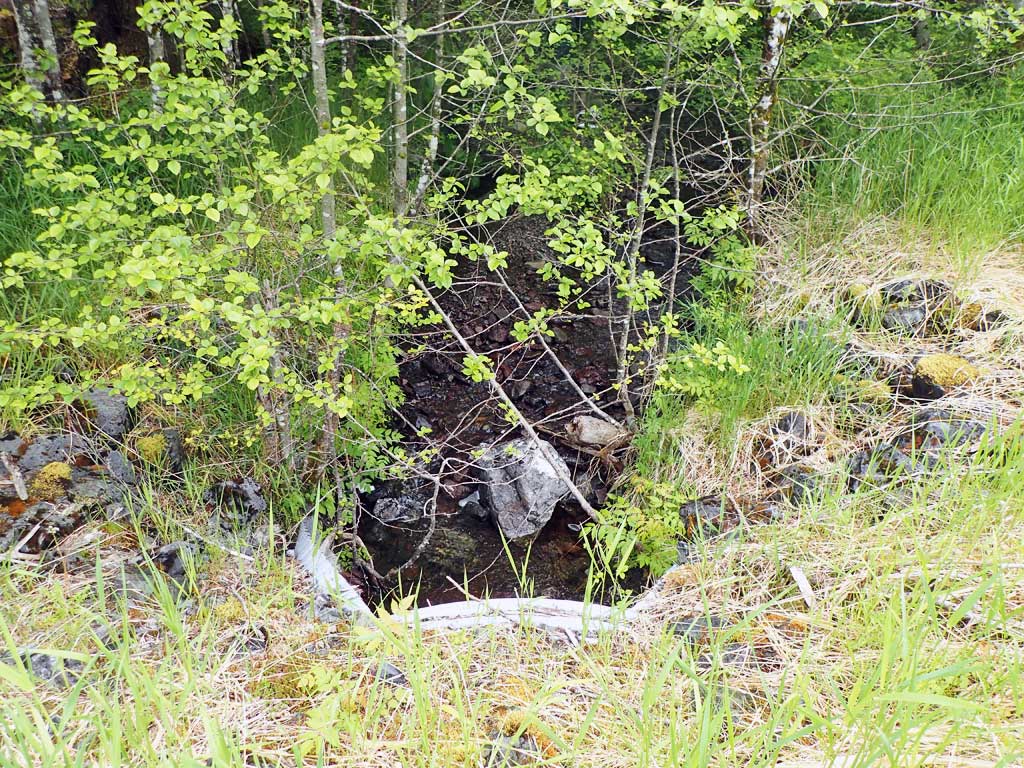
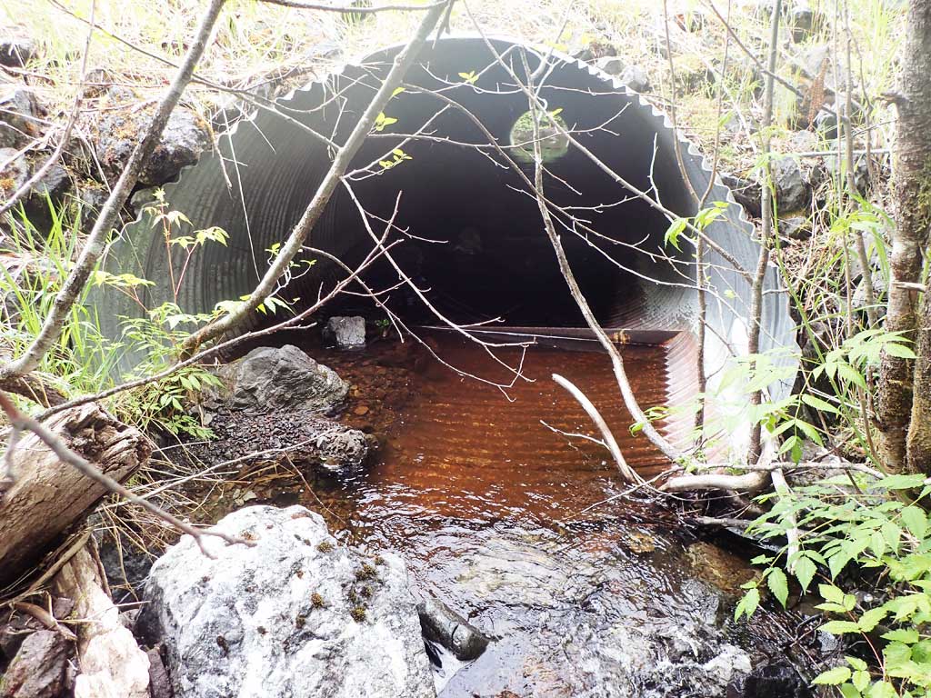
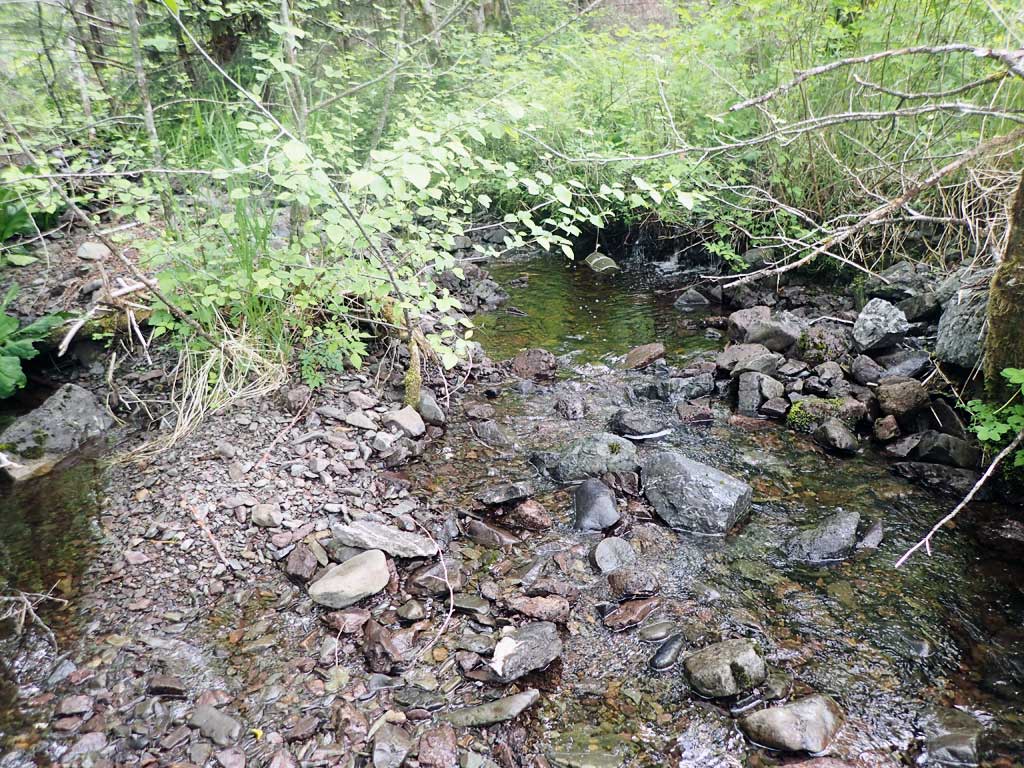
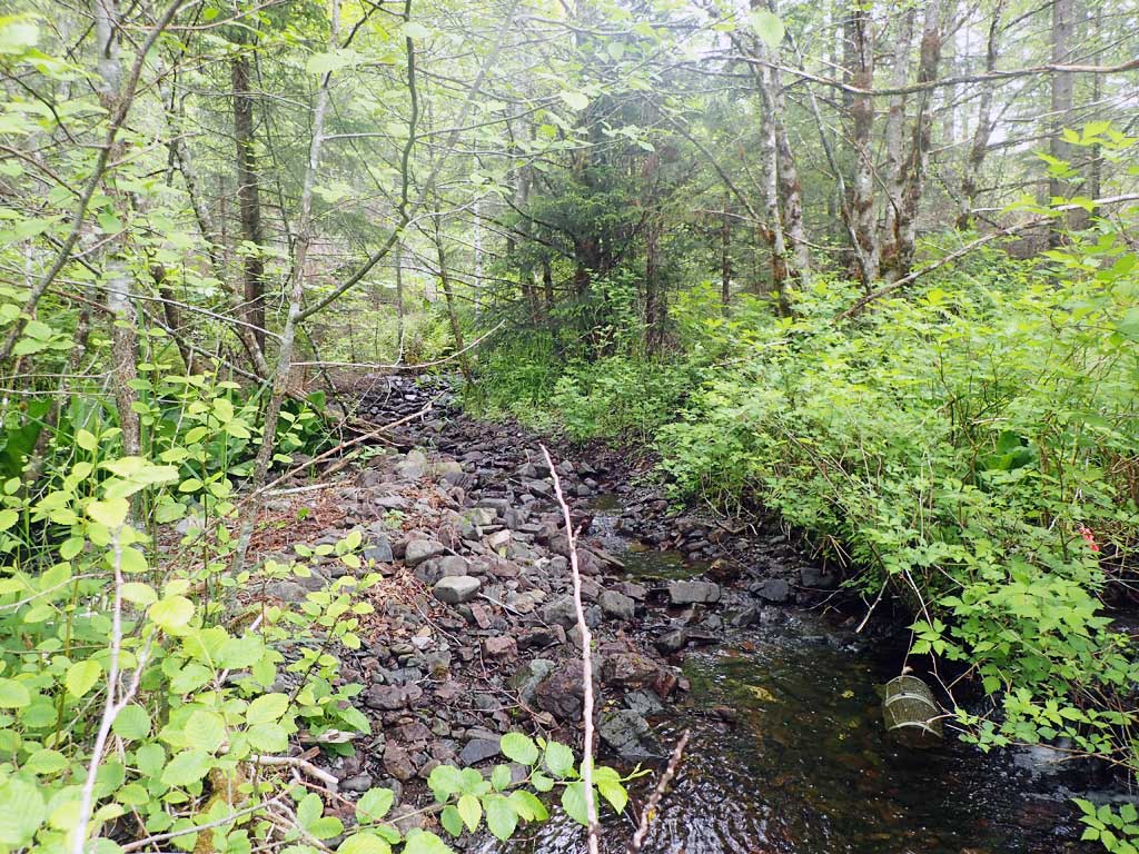
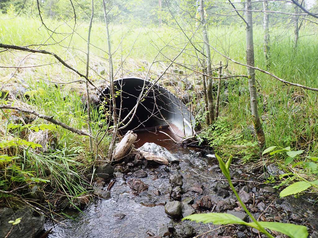
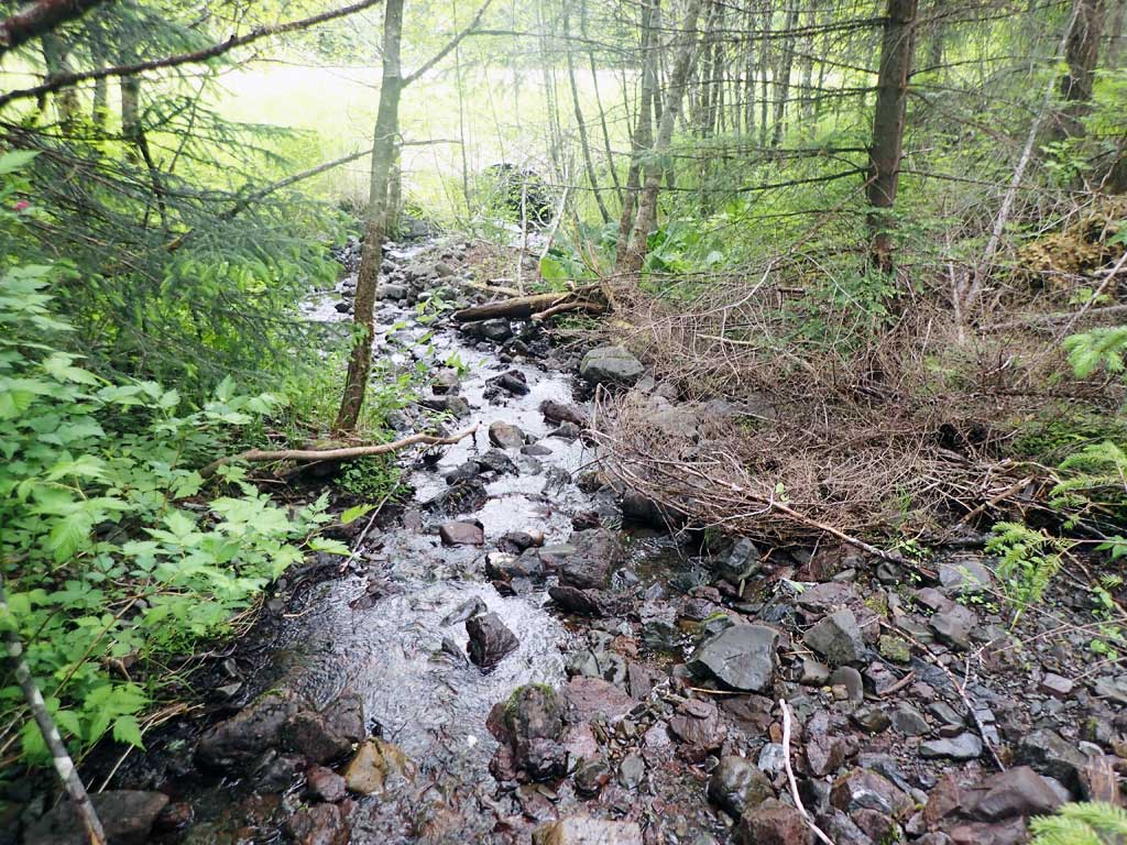
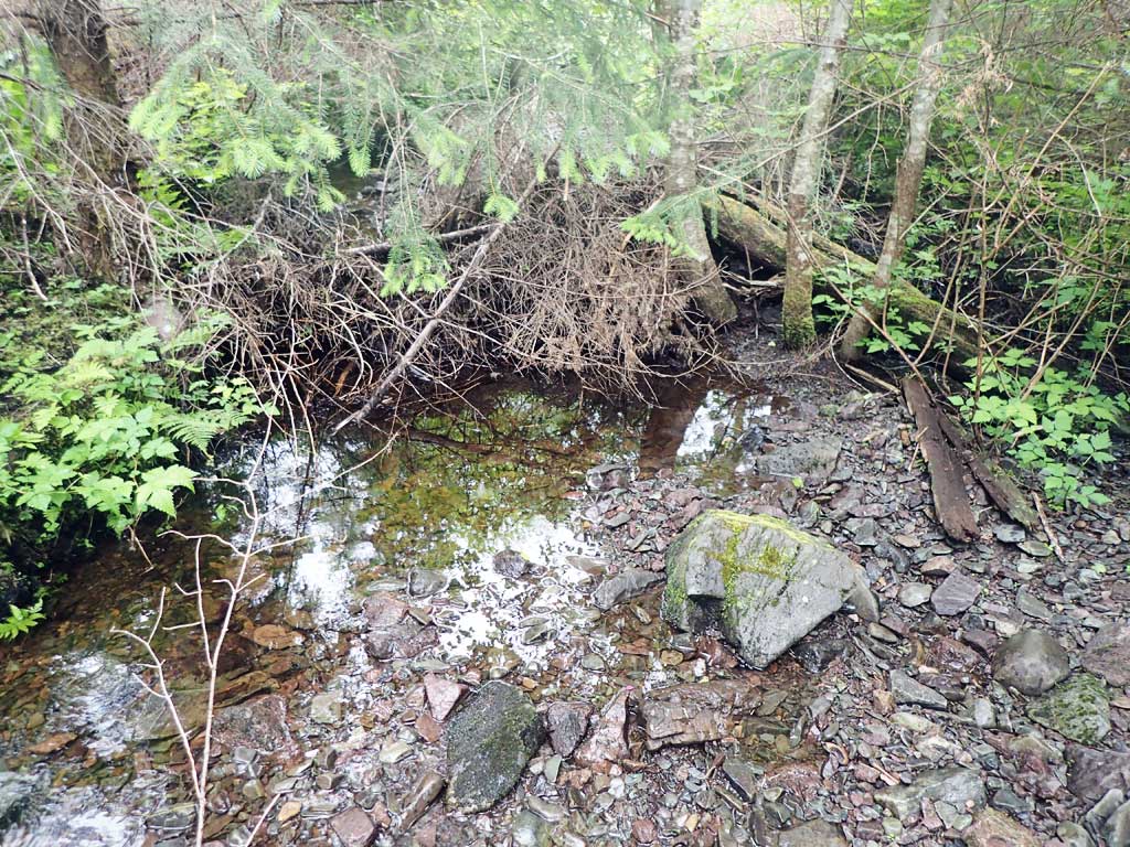
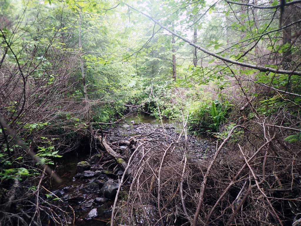
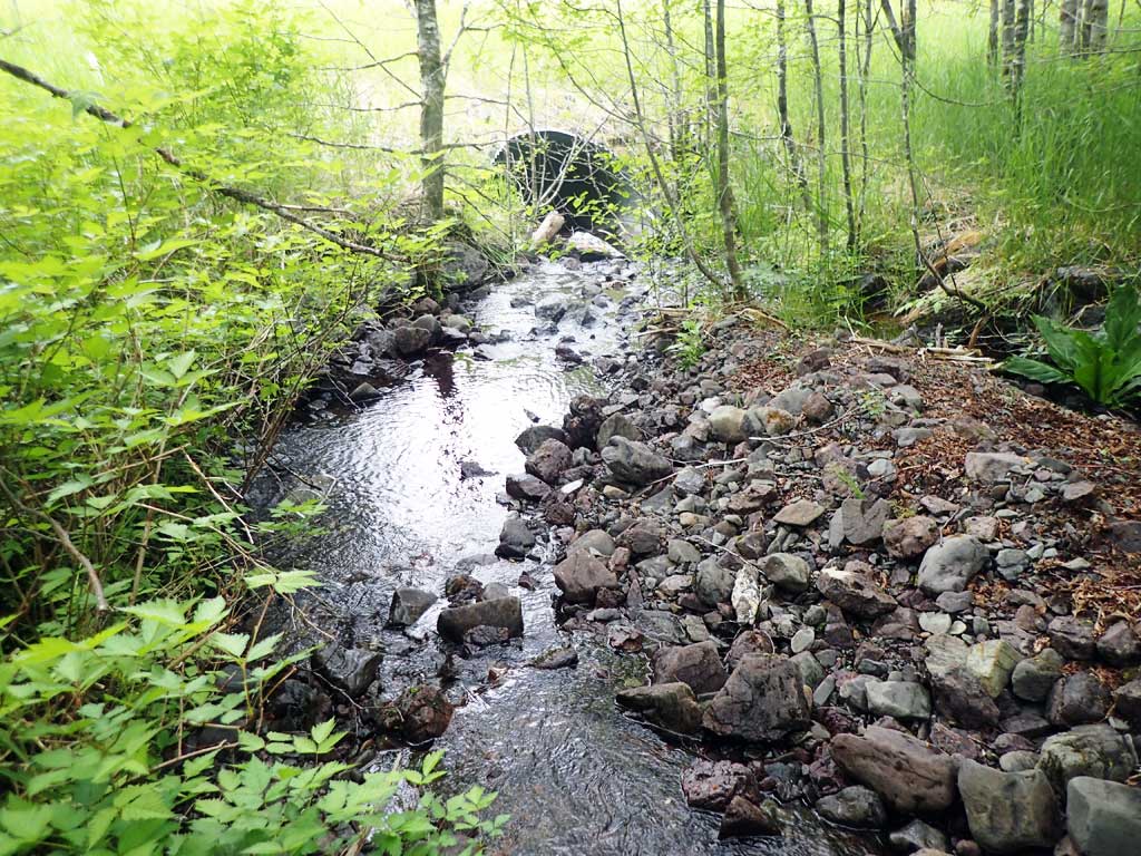
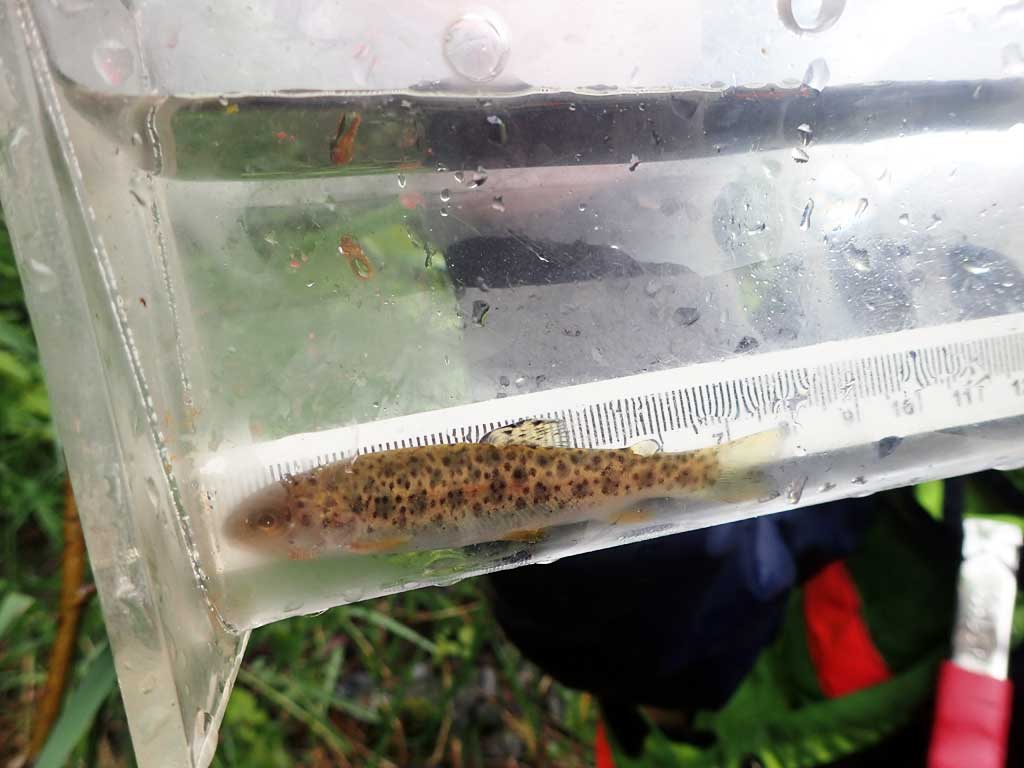
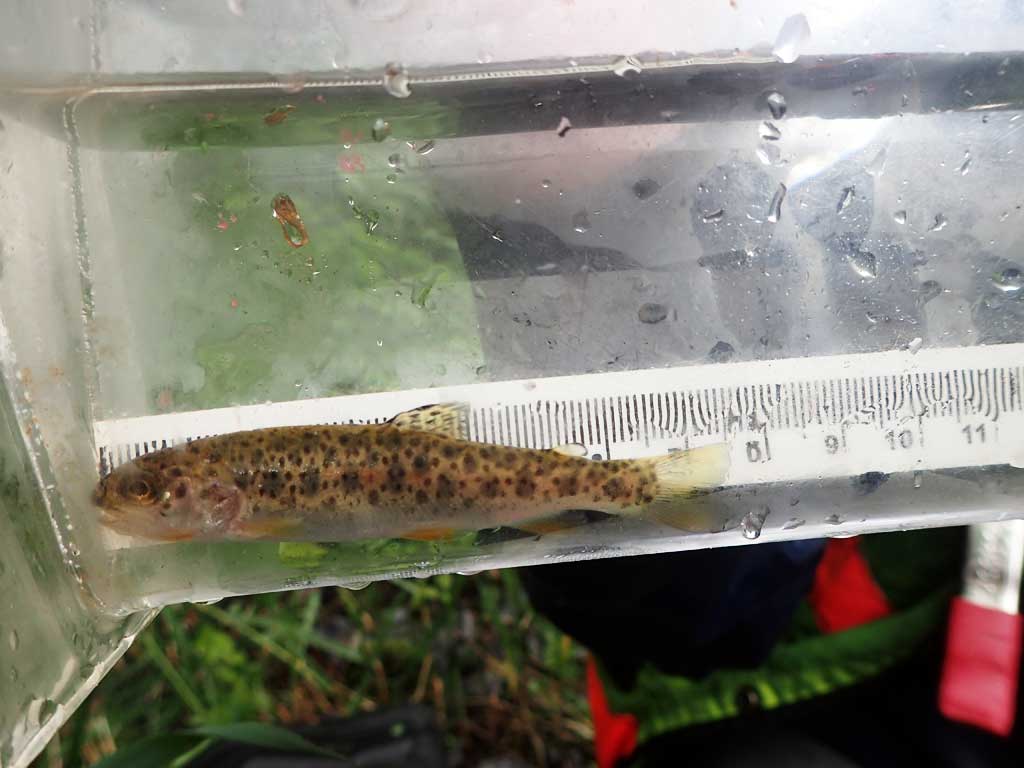
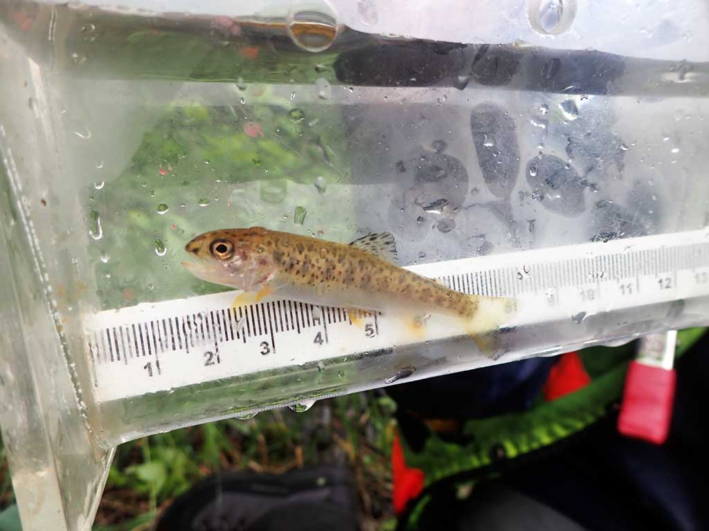
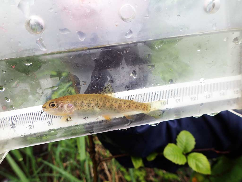
Comments: Large woody debris 50ft upstream where stream splits into three. Outlet splits into two. Left arm downstream has subsurface flow for 50ft. 3 rainbow captured downstream. Baffles. Lots of large woody debris downstream, less upstream.
Culvert Measurements
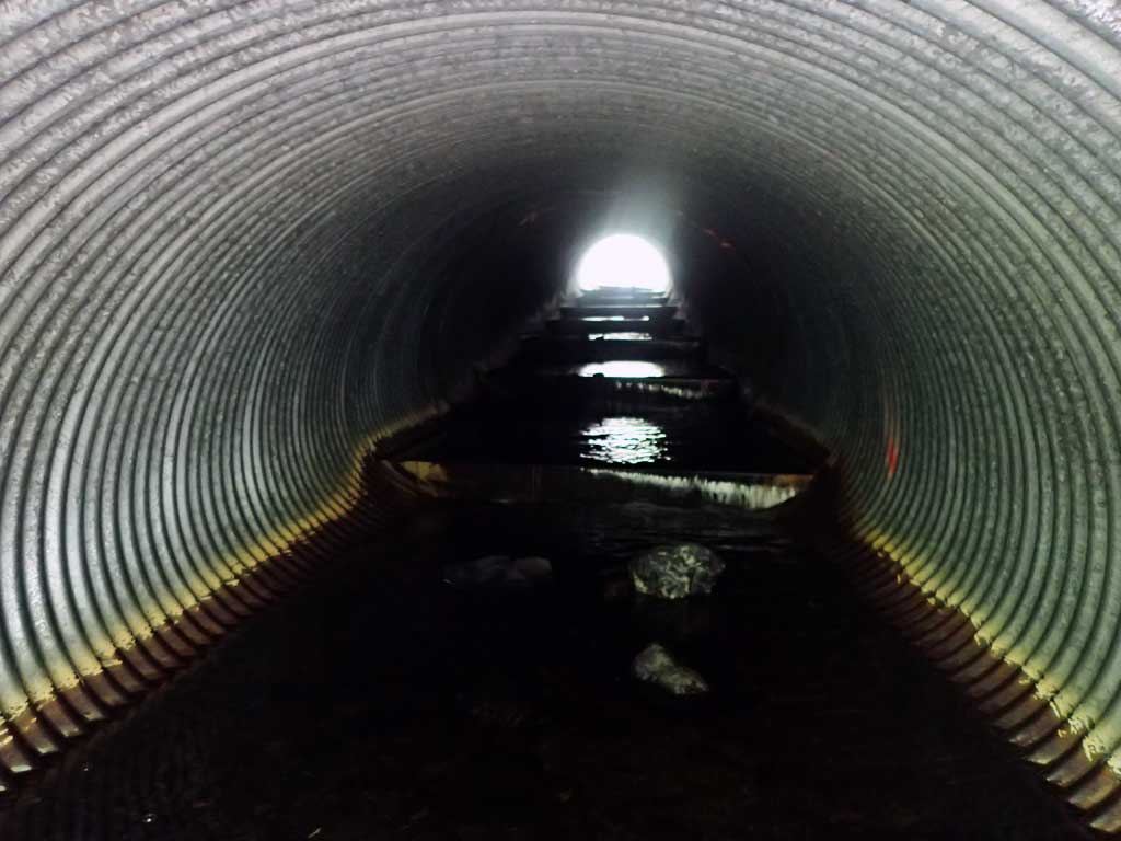
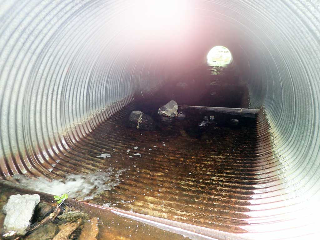
| ID: 1 | Structure Type: Pipe-arch (Corrugated steel) | Fish Passage Rating: | |||||||||||||||||||||||||||||||||||||||||
|
|
|
|||||||||||||||||||||||||||||||||||||||||
Comments: Pipe gradient greater than upstream gradient. Substrate only on one side of culvert at inlet. Top of culvert length 83.6'. |
|||||||||||||||||||||||||||||||||||||||||||
Culvert Observations:
|
|||||||||||||||||||||||||||||||||||||||||||
Stream Measurements
|
|
| Stream Width Type | Distance From Crossing (ft) |
Stream Width (ft) |
|---|---|---|
| Upstream ordinary high water | 40.0 | 3.20 |
| Upstream ordinary high water | 75.0 | 4.50 |
| Upstream ordinary high water | 120.0 | 2.90 |
Elevations
| Locator ID | Culvert Number |
River Distance (ft)1 |
Distance From Crossing (ft)2 |
Relative Elevation (ft) |
|---|---|---|---|---|
| Road Elev | 113.00 | |||
| D/S Grade Ctrl (Thalweg) | 0.00 | 94.19 | ||
| D/S Water Surface Elev | 0.00 | 94.35 | ||
| D/S Tailcrest or 1st Thalweg | 22.00 | 94.61 | ||
| D/S Water Surface Elev | 22.00 | 94.72 | ||
| D/S Water Surface Elev | 27.00 | 94.91 | ||
| Max Pool Depth | 27.00 | 94.56 | ||
| Outlet Invert (estimated end of mitre 7ft) | 30.00 | 94.33 | ||
| D/S Water Surface Elev | 30.00 | 94.63 | ||
| Outlet Culvert Top | 37.00 | 100.02 | ||
| Inlet Culvert Top | 120.60 | 105.41 | ||
| U/S Water Surface Elev | 127.60 | 100.41 | ||
| Inlet Culvert Invert (end of mitre 7ft) | 127.60 | 99.54 | ||
| U/S Grade Ctrl (Thalweg) (boulders) | 134.60 | 101.38 | ||
| U/S Water Surface Elev | 134.60 | 101.60 | ||
| U/S Grade Ctrl (Thalweg) | 177.60 | 103.19 | ||
| U/S Water Surface Elev | 177.60 | 103.32 | ||
| U/S Grade Ctrl (Thalweg) | 228.60 | 106.02 | ||
| U/S Water Surface Elev | 228.60 | 106.08 |
Notes:
- River distance is measured continuously throughout the survey reach along the thalweg of the stream.
- Measured from each end of the crossing along the thalweg of the stream.
Fish Sampling Efforts
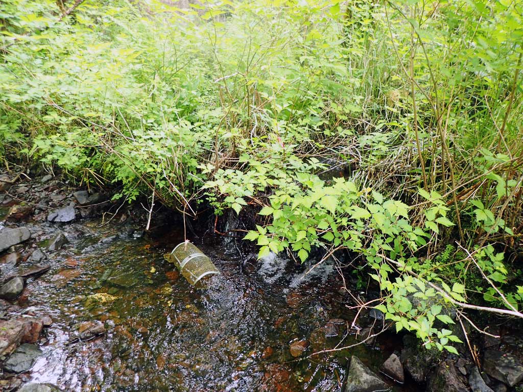
| Gear Type: Minnow Trap (A) | Trap Duration(h): 1.5 | |
| Comments: no fish | ||
| Gear Type: Minnow Trap (B) | Trap Duration(h): 1.5 | |
| Comments: 3 rainbow 10ft downstream, photos 861-863, measurements missing | ||
Fish Observations
| Species: juvenile rainbow trout | Life History: | ||
| Total Fish Observed: 3 | Fish Measured: | Fork Lengths (mm) Min: Max: Mean: | |
| Collected/Observed by Gear Type: Upstream Minnow Trap (3) | |||
| Comments: Fish lengths not recorded. | |||
Photos
Questions or comments about this report can be directed to dfg.dsf.webmaster@alaska.gov