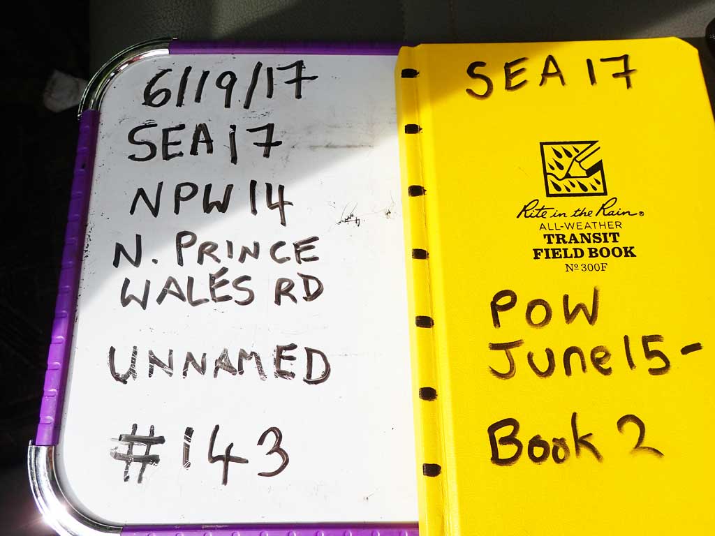
Fish Passage Site 10103580
Coordinates (dec. deg.): 55.77571°, -133.00189°
Legal Description: C070S081E28
Region: Southeast
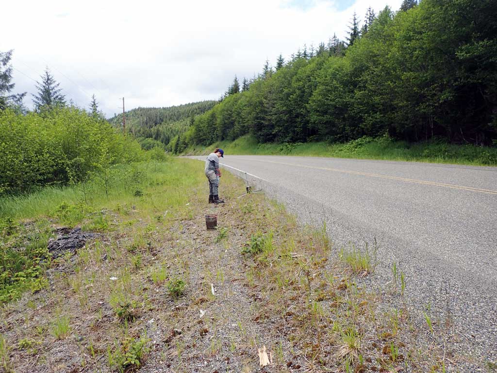
Road Name: North Prince of Wales Road
Datum: NAD83
Quad Name / ITM: Craig D-4
AWC Stream #:
Stream Name: Unnamed
Elevation:
Site Comments: Near MP 26
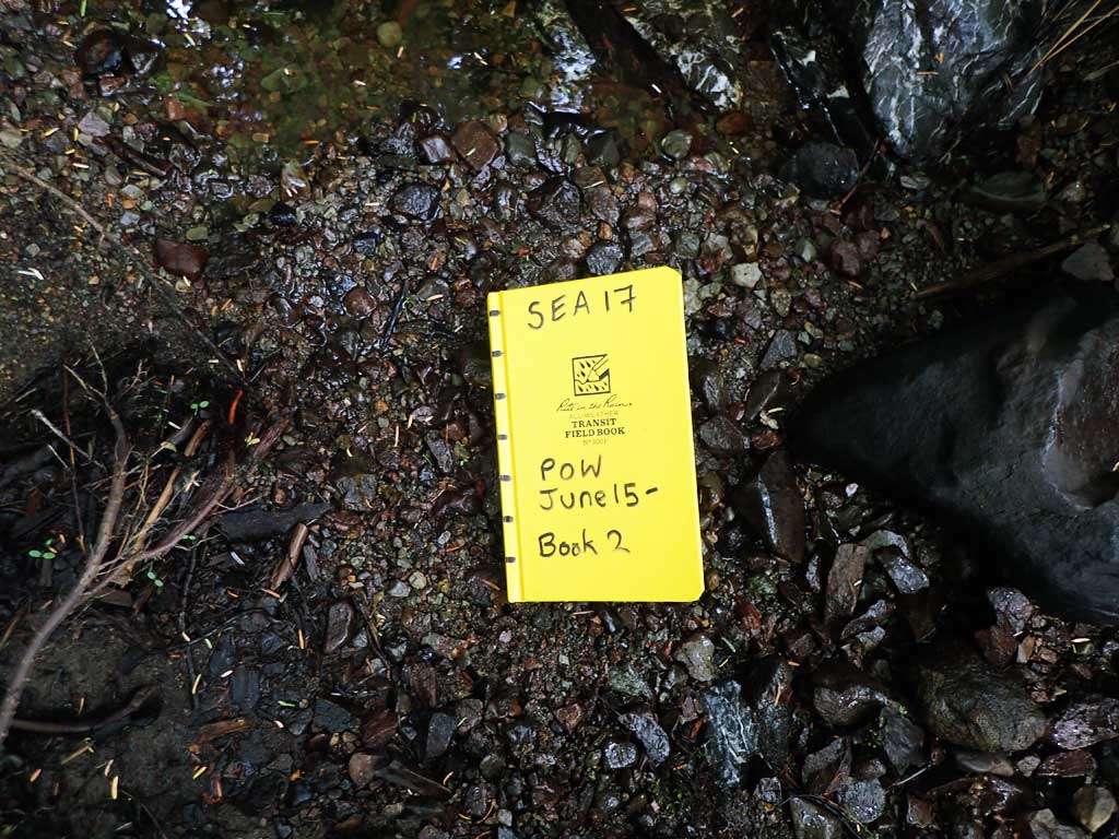
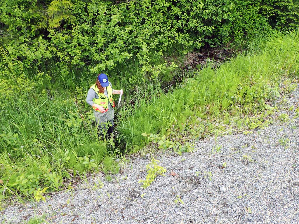
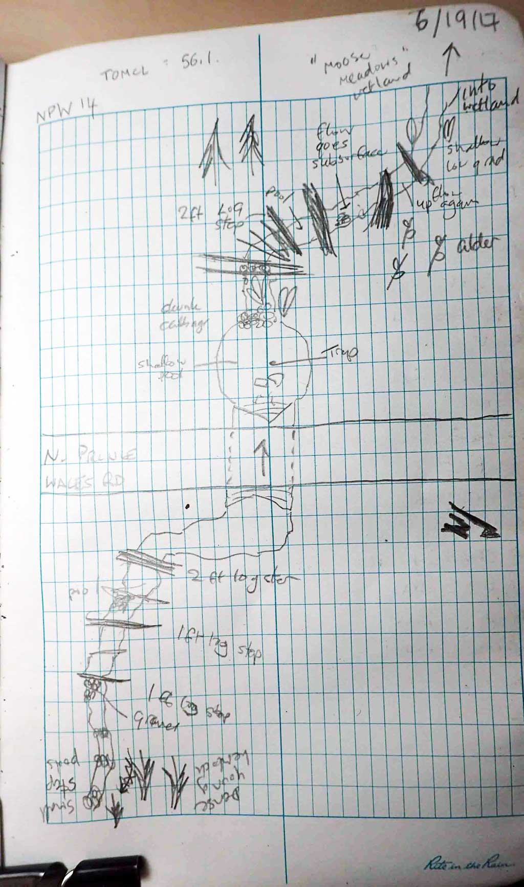
Survey SEA17-NPW14
Observers: Elizabeth Flory, Kelly Petty
Overall Fish Passage Rating:
Tidal: No
Backwatered: No
Step Pools: No
Construction Year:
Site Observations:
- Outfall height red
- Culvert gradient red
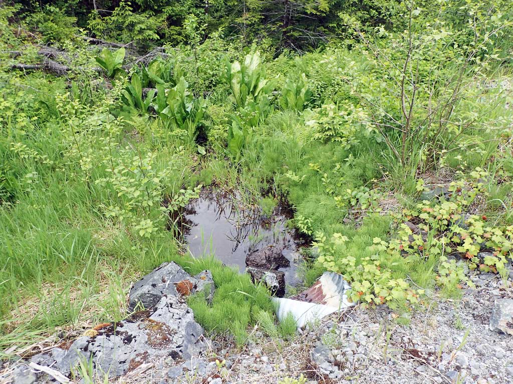
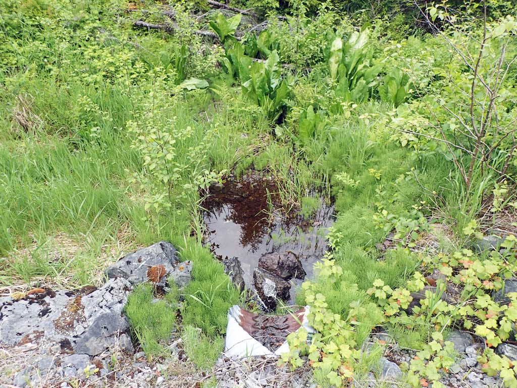
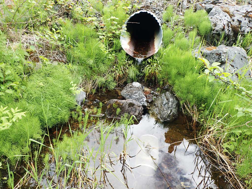
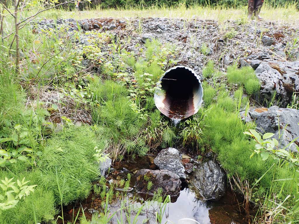
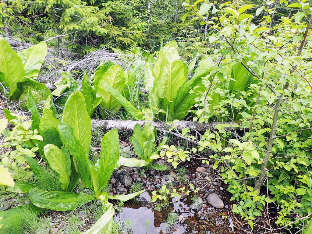
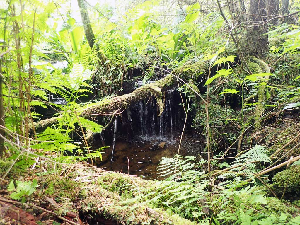
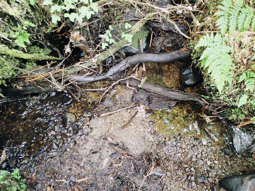
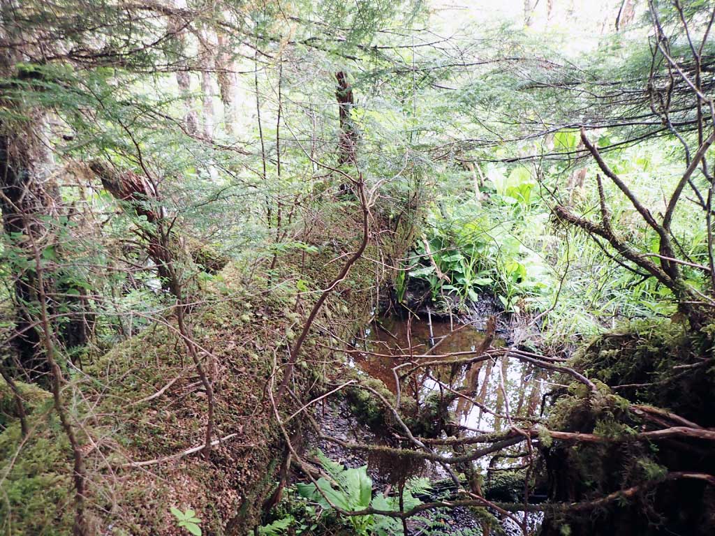
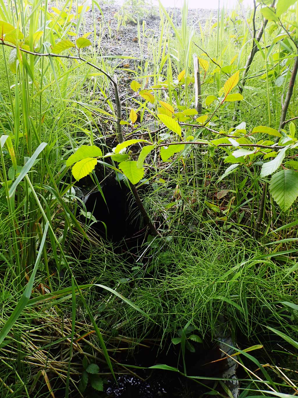
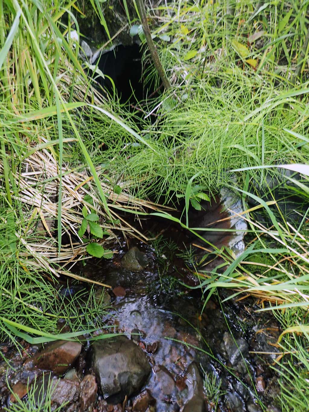
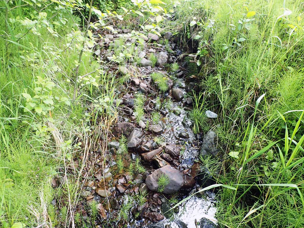
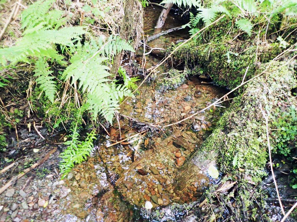
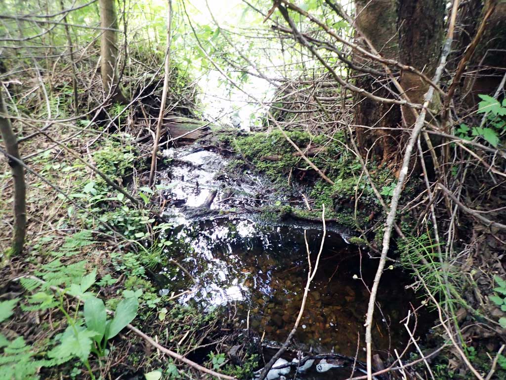
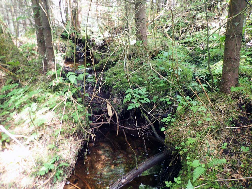
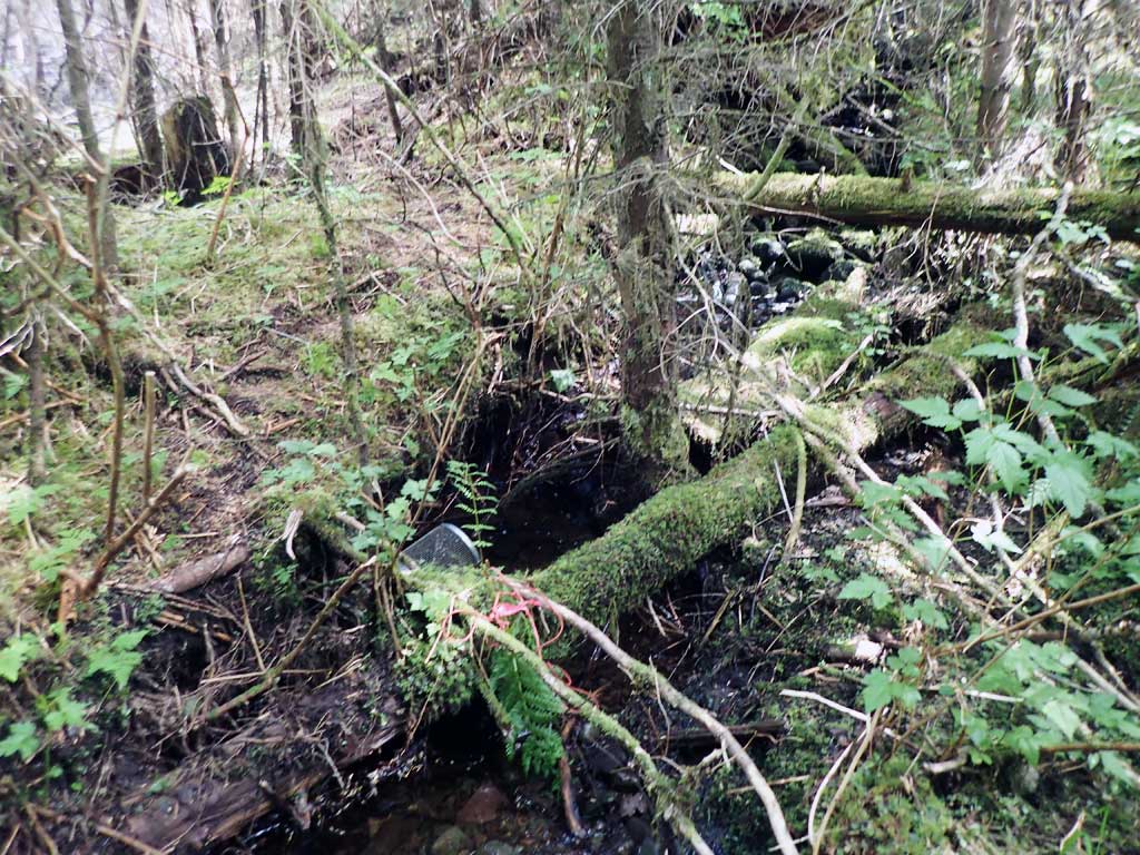
Comments: Small, shallow stream with several 1-2ft high log steps upstream and downstream. Flow goes subsurface about 50ft downstream for about 20ft then resurfaces again. Flows into marshy wetland. No fish caught.
Culvert Measurements
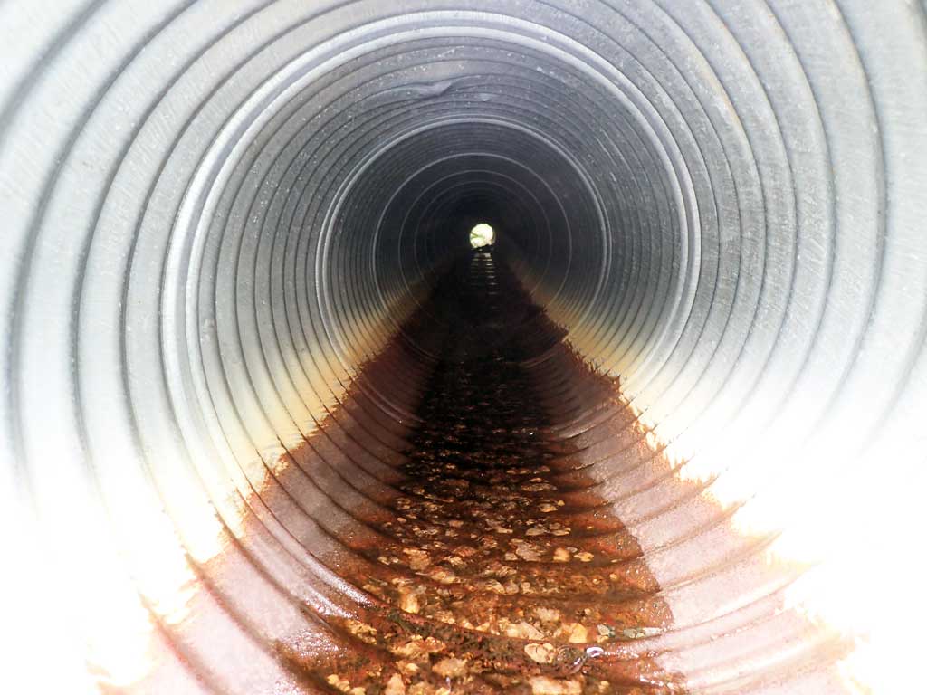
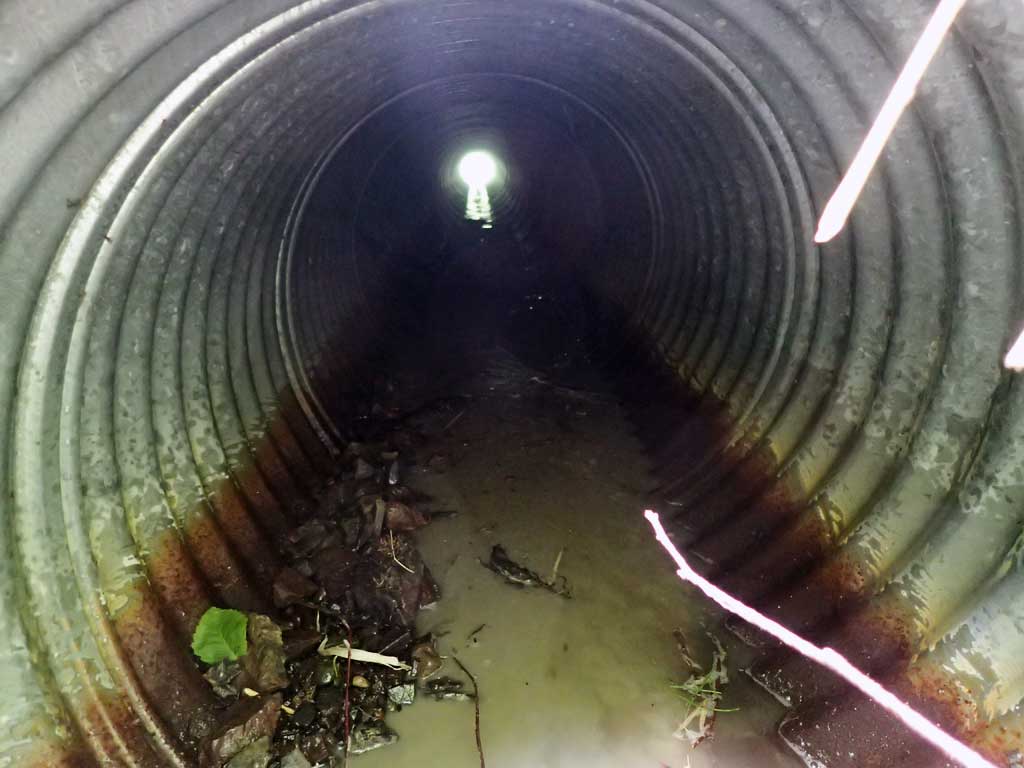
| ID: 1 | Structure Type: Circular pipe (Corrugated steel) | Fish Passage Rating: | |||||||||||||||||||||||||||||||||||||||||
|
|
|
|||||||||||||||||||||||||||||||||||||||||
Comments: Too brushy for upstream gradient survey but gets steeper upstream to an estimated 8-9%. Top of culvert length 56.1'. |
|||||||||||||||||||||||||||||||||||||||||||
Culvert Observations:
|
|||||||||||||||||||||||||||||||||||||||||||
Stream Measurements
|
|
| Stream Width Type | Distance From Crossing (ft) |
Stream Width (ft) |
|---|---|---|
| Upstream ordinary high water | 40.0 | 4.20 |
| Upstream ordinary high water | 75.0 | 3.40 |
| Upstream ordinary high water | 120.0 | 1.20 |
Elevations
| Locator ID | Culvert Number |
River Distance (ft)1 |
Distance From Crossing (ft)2 |
Relative Elevation (ft) |
|---|---|---|---|---|
| Road Elev | 106.07 | |||
| D/S Grade Ctrl (Thalweg) | 0.00 | 95.45 | ||
| D/S Water Surface Elev | 0.00 | 95.64 | ||
| D/S Tailcrest or 1st Thalweg (gravel) | 9.00 | 96.03 | ||
| D/S Water Surface Elev | 9.00 | 95.13 | ||
| D/S Water Surface Elev | 14.00 | 96.60 | ||
| Max Pool Depth | 14.00 | 95.96 | ||
| Outlet Invert (on pipe) | 21.00 | 97.97 | ||
| D/S Water Surface Elev | 21.00 | 98.02 | ||
| Outlet Culvert Top | 23.00 | 100.01 | ||
| Inlet Culvert Top | 79.10 | 101.37 | ||
| U/S Water Surface Elev | 82.10 | 99.52 | ||
| Inlet Culvert Invert | 82.10 | 99.54 | ||
| U/S Grade Ctrl (Thalweg) (gravel) | 96.10 | 100.61 | ||
| U/S Water Surface Elev | 96.10 | 100.79 | ||
| U/S Grade Ctrl (Thalweg) | 104.10 | 101.47 | ||
| U/S Water Surface Elev | 104.10 | 101.64 |
Notes:
- River distance is measured continuously throughout the survey reach along the thalweg of the stream.
- Measured from each end of the crossing along the thalweg of the stream.
Fish Sampling Efforts
| Gear Type: Minnow Trap (A) | Trap Duration(h): 0.8 | |
| Comments: no fish | ||
| Gear Type: Minnow Trap (B) | Trap Duration(h): 0.8 | |
| Comments: no fish | ||
Fish Observations
No fish observations occurred during this survey.
Photos
Questions or comments about this report can be directed to dfg.dsf.webmaster@alaska.gov