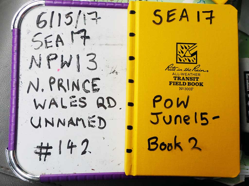
Fish Passage Site 10103579
Coordinates (dec. deg.): 55.78943°, -133.02029°
Legal Description: C070S081E20
Region: Southeast
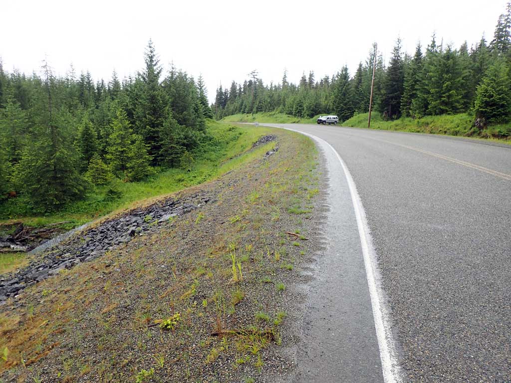
Road Name: North Prince of Wales Road
Datum: NAD83
Quad Name / ITM: Craig D-4
AWC Stream #:
Stream Name: Unnamed
Elevation:
Site Comments: None
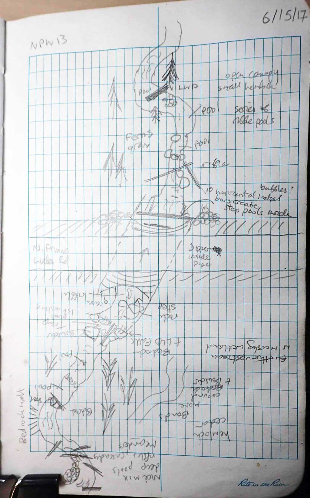
Survey SEA17-NPW13
Observers: Elizabeth Flory, Kelly Petty
Overall Fish Passage Rating:
Tidal: No
Backwatered: No
Step Pools: No
Construction Year:
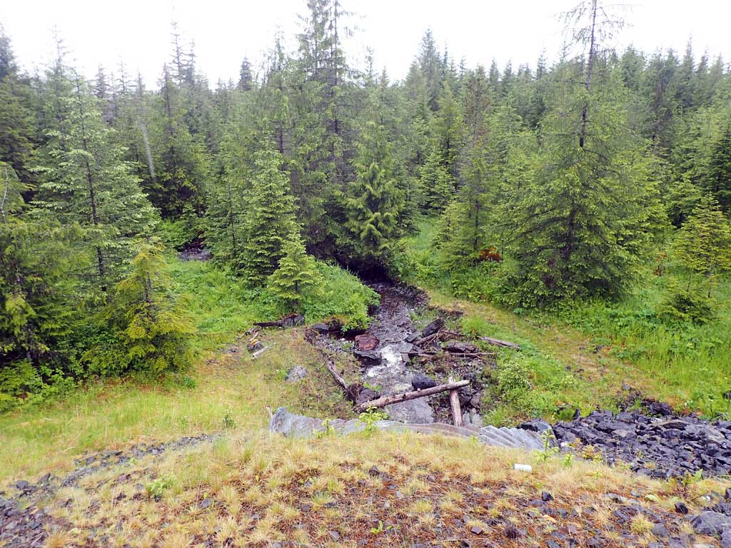
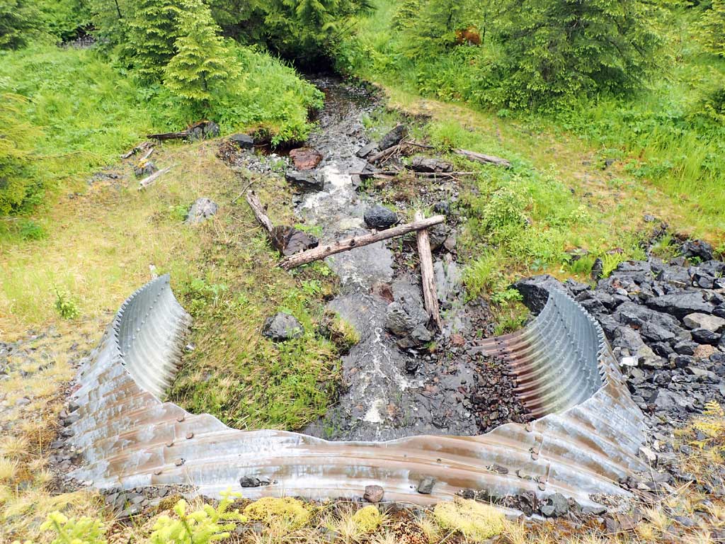
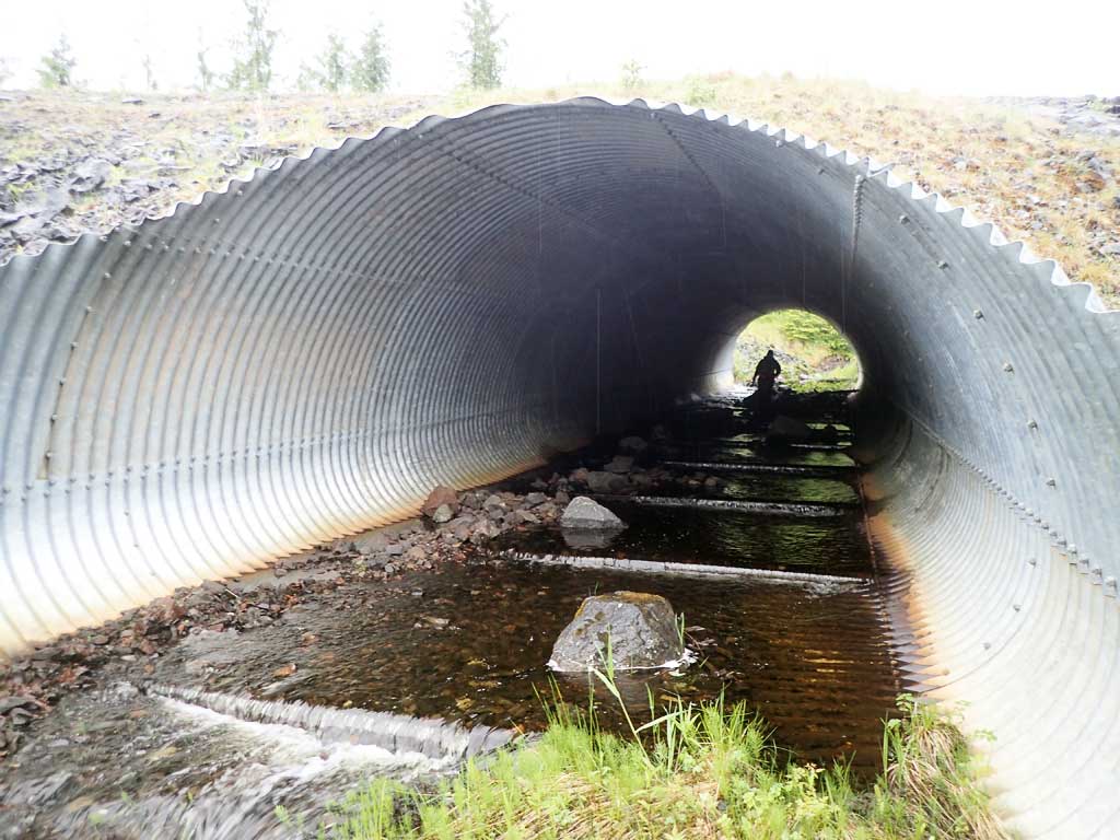
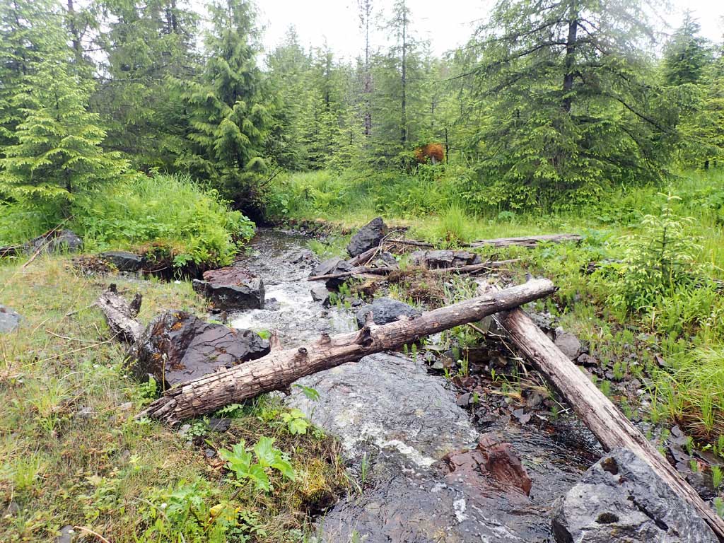
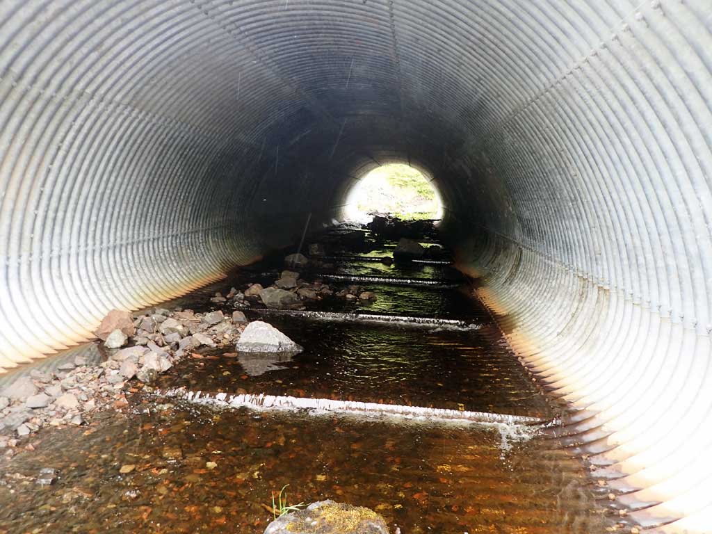
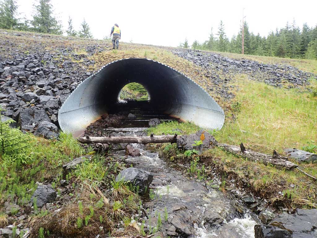
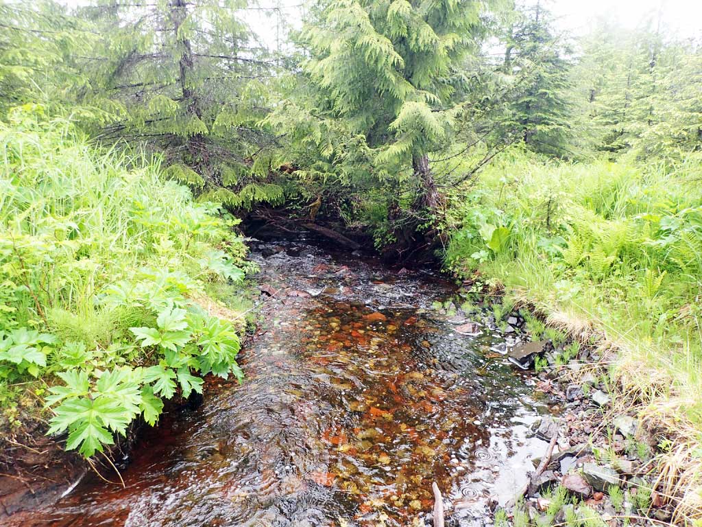
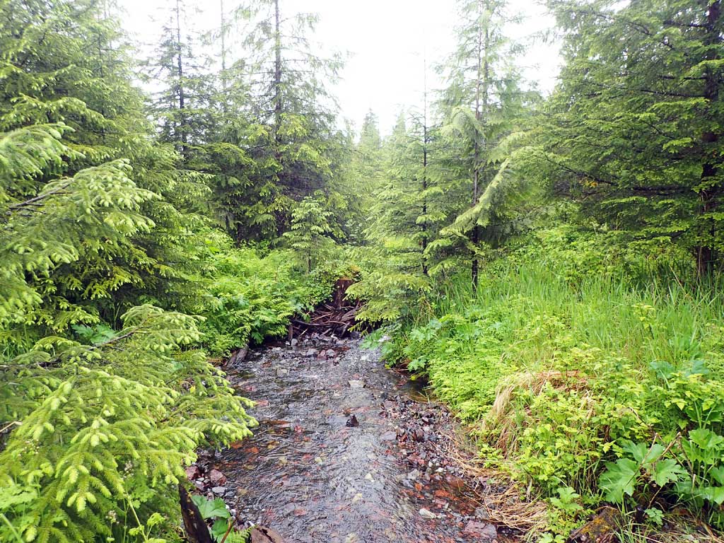
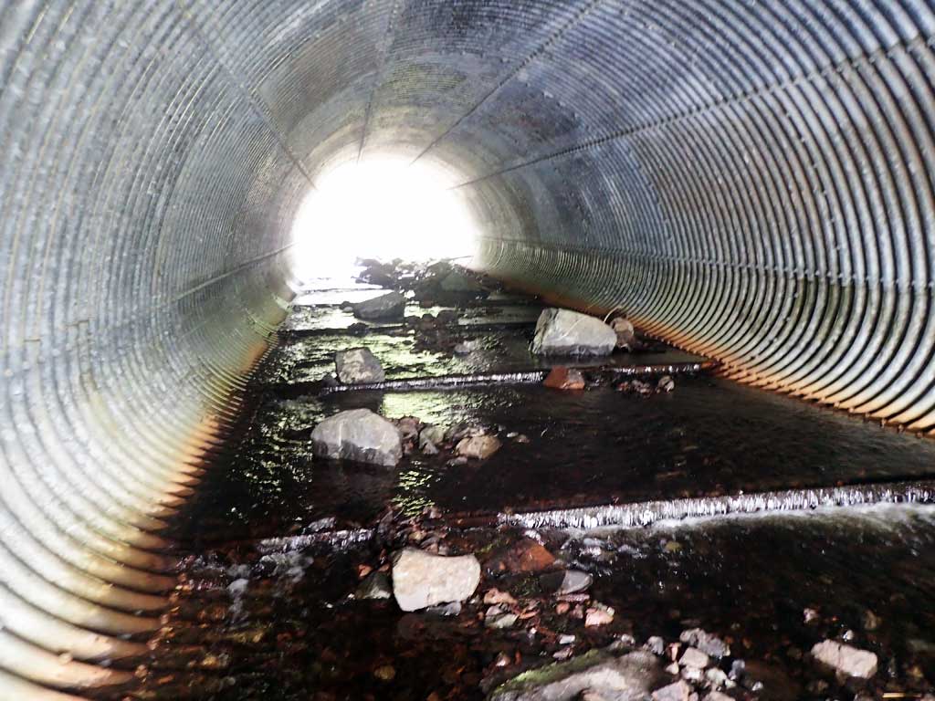
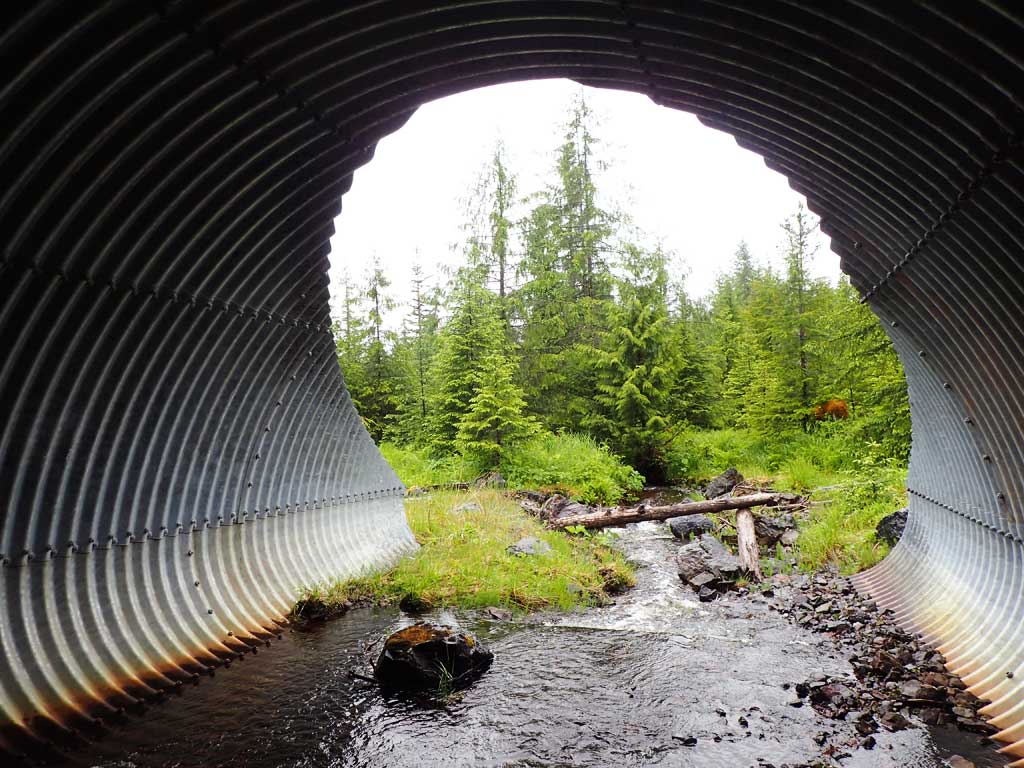
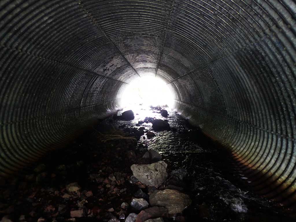
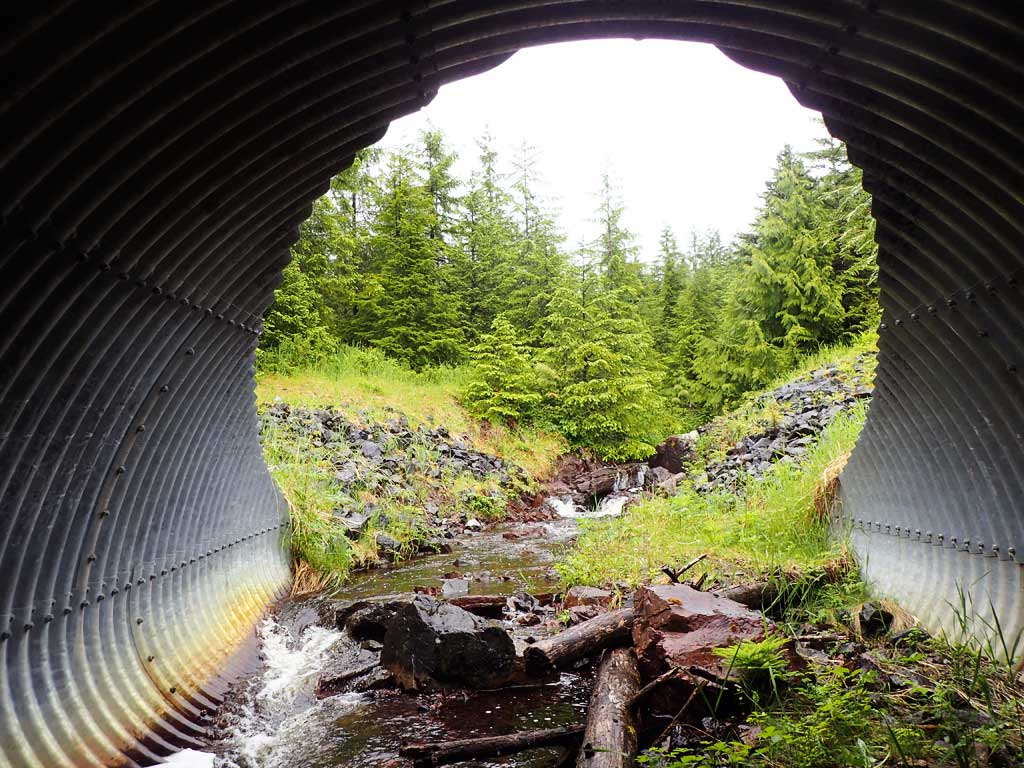
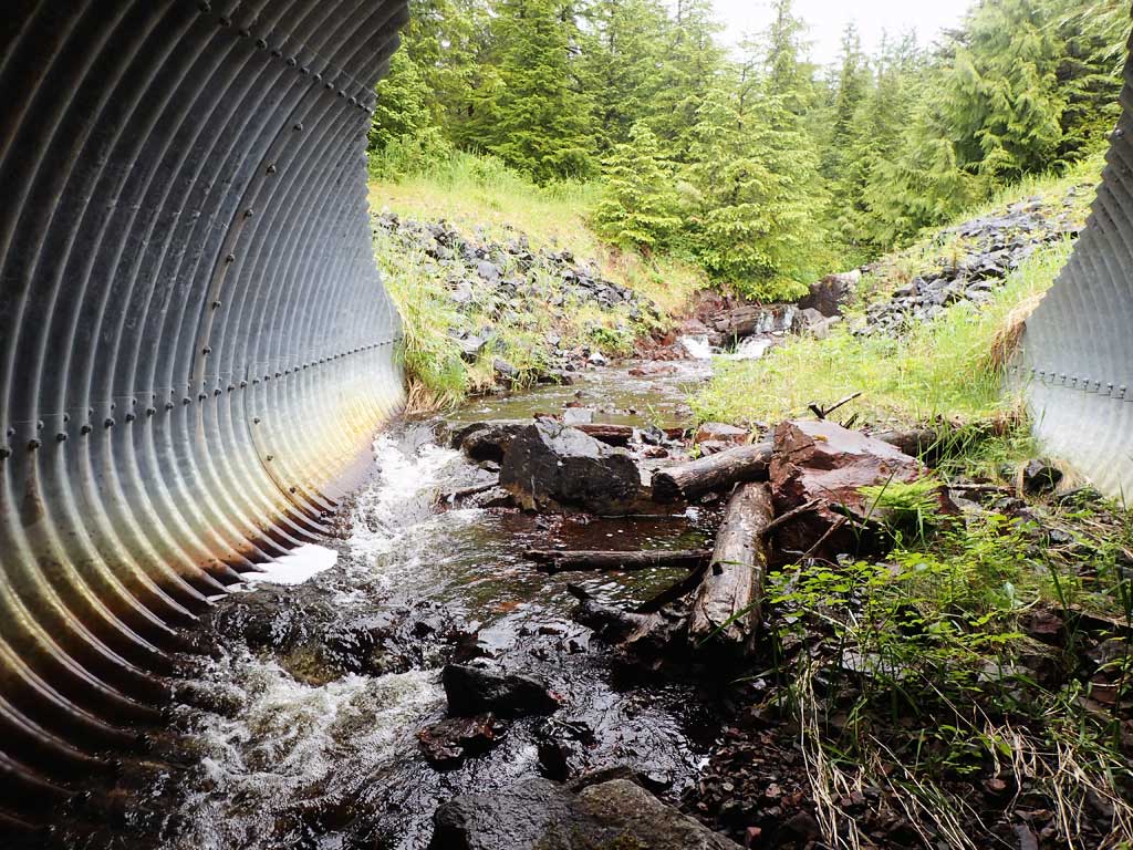
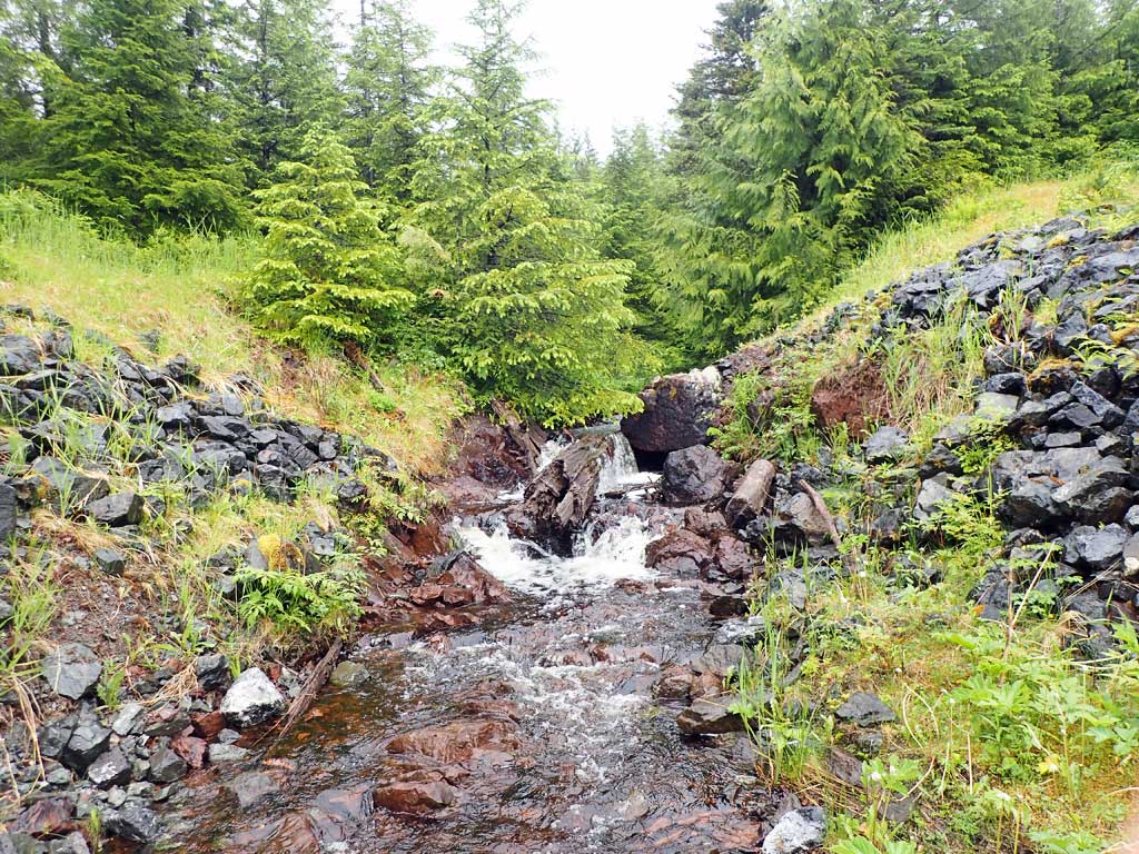
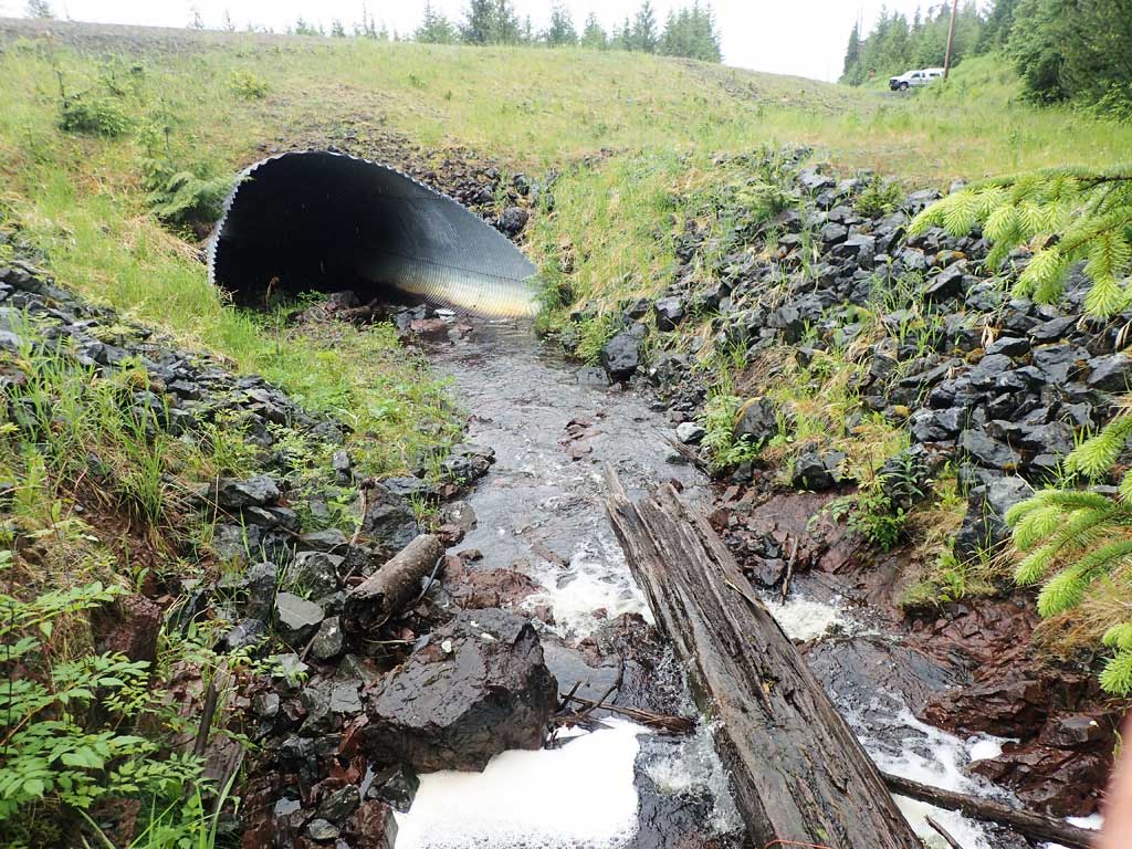
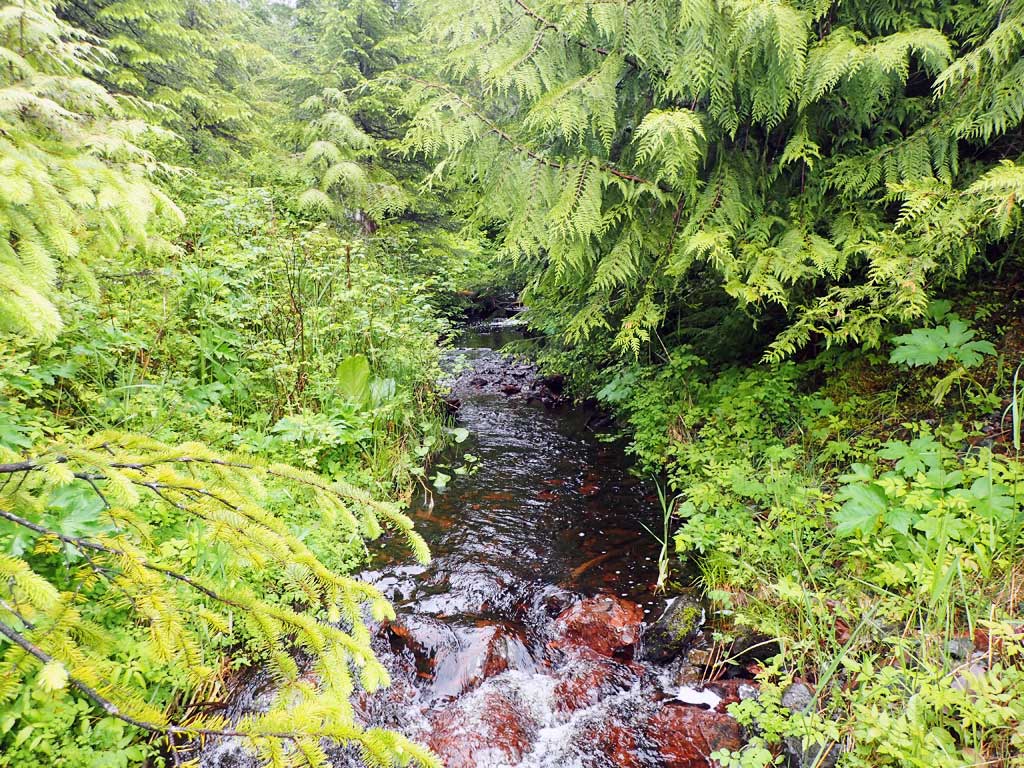
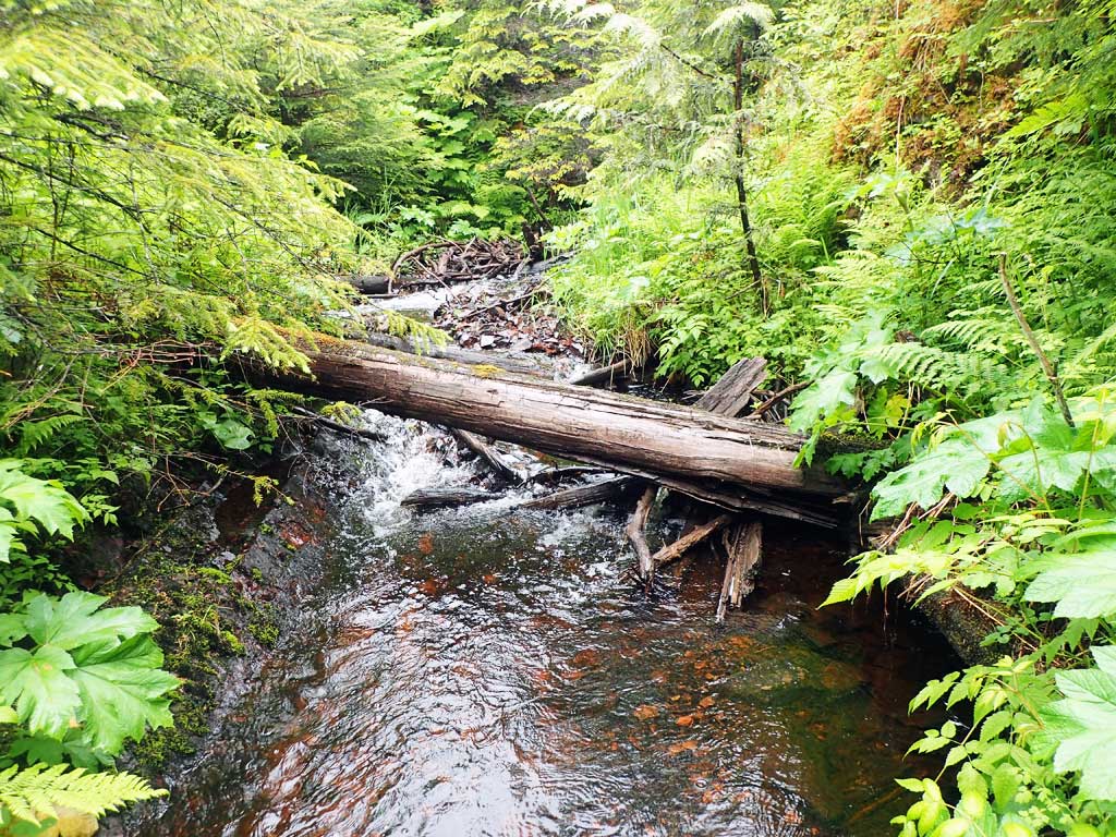
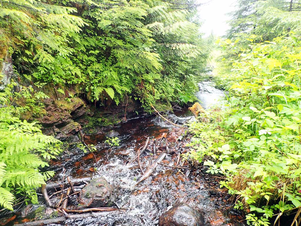
Comments: Baffles. Downstream has nice mix of deep pools, riffles, cascades, meaders. Upstream is marshy wetland beyond 300ft. Upstream has large woody debris and bedrock falls just abgove inlet. First resting pool is above falls.
Culvert Measurements
| ID: 1 | Structure Type: Pipe-arch (Structural steel plate) | Fish Passage Rating: | |||||||||||||||||||||||||||||||||||||||||
|
|
|
|||||||||||||||||||||||||||||||||||||||||
Comments: Substrate at inverts not measured. Top of culvert length 94.2'. |
|||||||||||||||||||||||||||||||||||||||||||
Stream Measurements
|
|
| Stream Width Type | Distance From Crossing (ft) |
Stream Width (ft) |
|---|---|---|
| Downstream ordinary high water | 40.0 | 6.80 |
| Downstream ordinary high water | 90.0 | 4.20 |
| Downstream ordinary high water | 120.0 | 5.90 |
Elevations
| Locator ID | Culvert Number |
River Distance (ft)1 |
Distance From Crossing (ft)2 |
Relative Elevation (ft) |
|---|---|---|---|---|
| Road Elev | 110.62 | |||
| D/S Grade Ctrl (Thalweg) | 0.00 | 85.20 | ||
| D/S Water Surface Elev | 0.00 | 85.65 | ||
| D/S Water Surface Elev | 9.00 | 85.92 | ||
| D/S Grade Ctrl (Thalweg) (pool) | 9.00 | 85.06 | ||
| D/S Grade Ctrl (Thalweg) | 16.00 | 86.09 | ||
| D/S Water Surface Elev | 16.00 | 86.60 | ||
| Outlet Invert | 34.00 | 87.28 | ||
| D/S Water Surface Elev | 34.00 | 87.60 | ||
| D/S Grade Ctrl (Thalweg) (on step in pipe - baffle) | 43.00 | 88.42 | ||
| D/S Water Surface Elev | 43.00 | 88.72 | ||
| Outlet Culvert Top | 52.00 | 100.00 | ||
| Inlet Culvert Top | 146.20 | 103.21 | ||
| Inlet Culvert Invert | 155.20 | 93.23 | ||
| U/S Water Surface Elev | 155.20 | 93.48 | ||
| U/S Headwater (base of falls) | 187.20 | 93.82 | ||
| U/S Water Surface Elev | 187.20 | 94.16 | ||
| U/S Grade Ctrl (Thalweg) | 203.20 | 97.06 | ||
| U/S Water Surface Elev | 203.20 | 97.66 | ||
| U/S Grade Ctrl (Thalweg) | 259.20 | 98.78 | ||
| U/S Water Surface Elev | 259.20 | 99.24 |
Notes:
- River distance is measured continuously throughout the survey reach along the thalweg of the stream.
- Measured from each end of the crossing along the thalweg of the stream.
Fish Sampling Efforts
| Gear Type: Minnow Trap (A) | Trap Duration(h): 1.25 | |
| Comments: no fish caught | ||
| Gear Type: Minnow Trap (B) | Trap Duration(h): 1.25 | |
| Comments: no fish caught | ||
Fish Observations
No fish observations occurred during this survey.
Photos
Questions or comments about this report can be directed to dfg.dsf.webmaster@alaska.gov