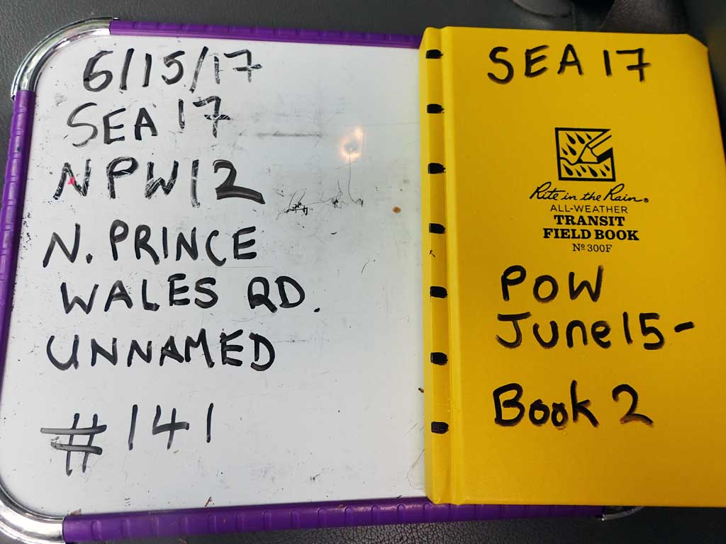
Fish Passage Site 10103578
Coordinates (dec. deg.): 55.79714°, -133.03268°
Legal Description: C070S081E17
Region: Southeast
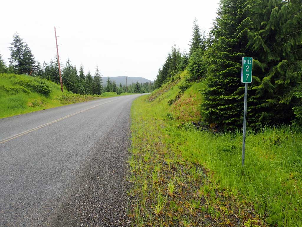
Road Name: North Prince of Wales Road
Datum: NAD83
Quad Name / ITM: Craig D-4
AWC Stream #:
Stream Name: Unnamed
Elevation:
Site Comments: Near MP27
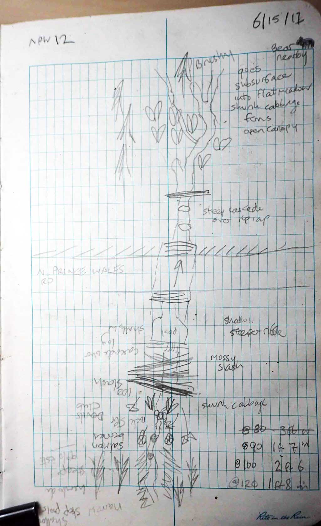
Survey SEA17-NPW12
Observers: Elizabeth Flory, Kelly Petty
Overall Fish Passage Rating:
Tidal: No
Backwatered: No
Step Pools: No
Construction Year:
Site Observations:
- Culvert gradient red
- Outfall height red
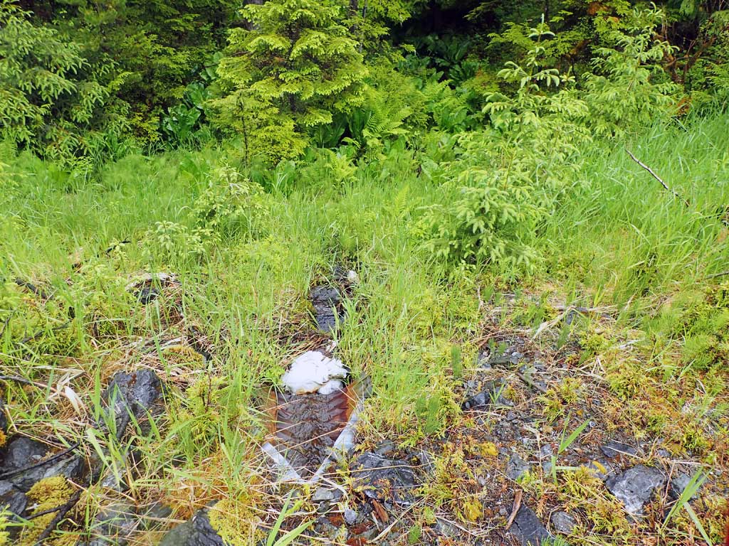
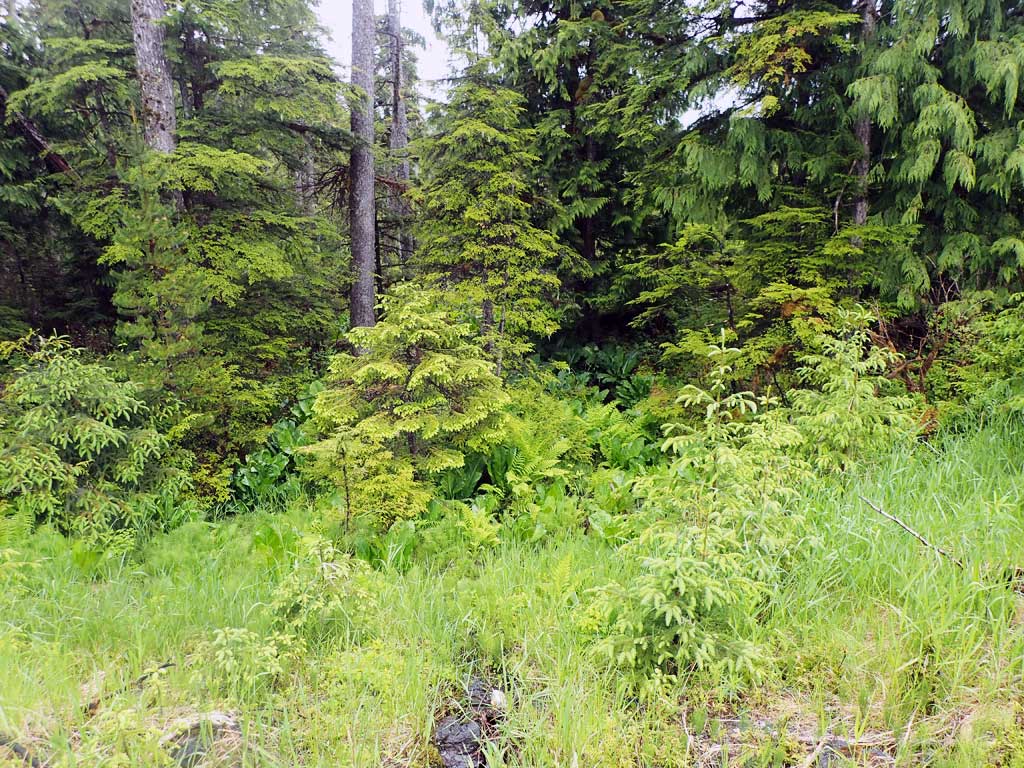
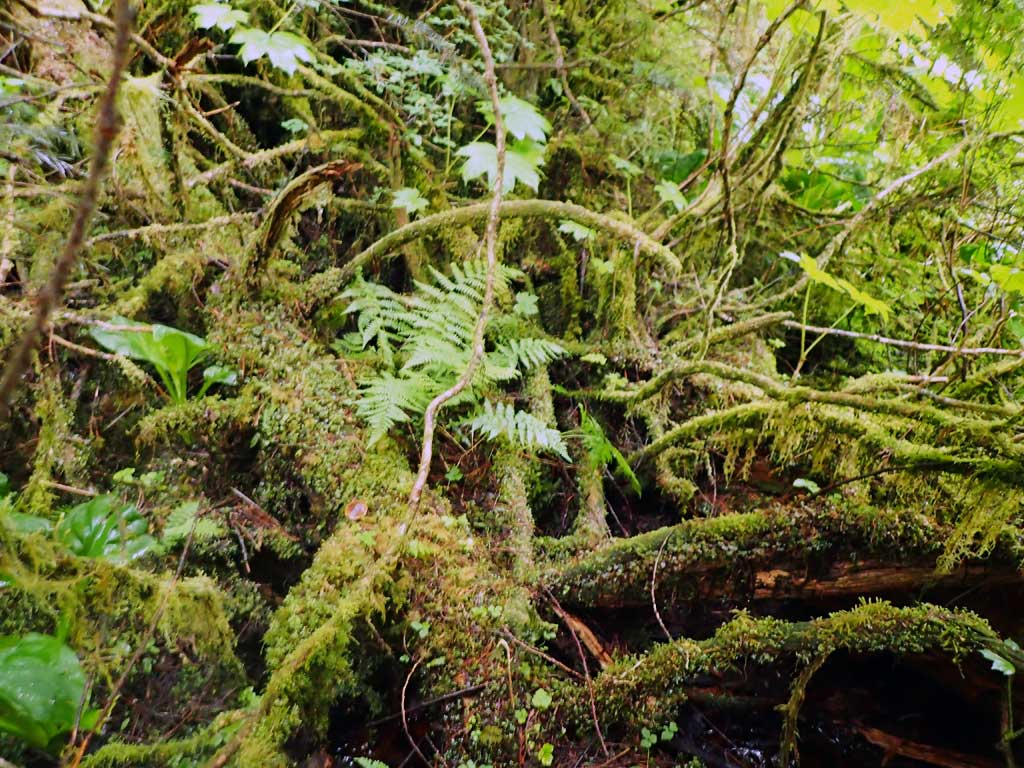
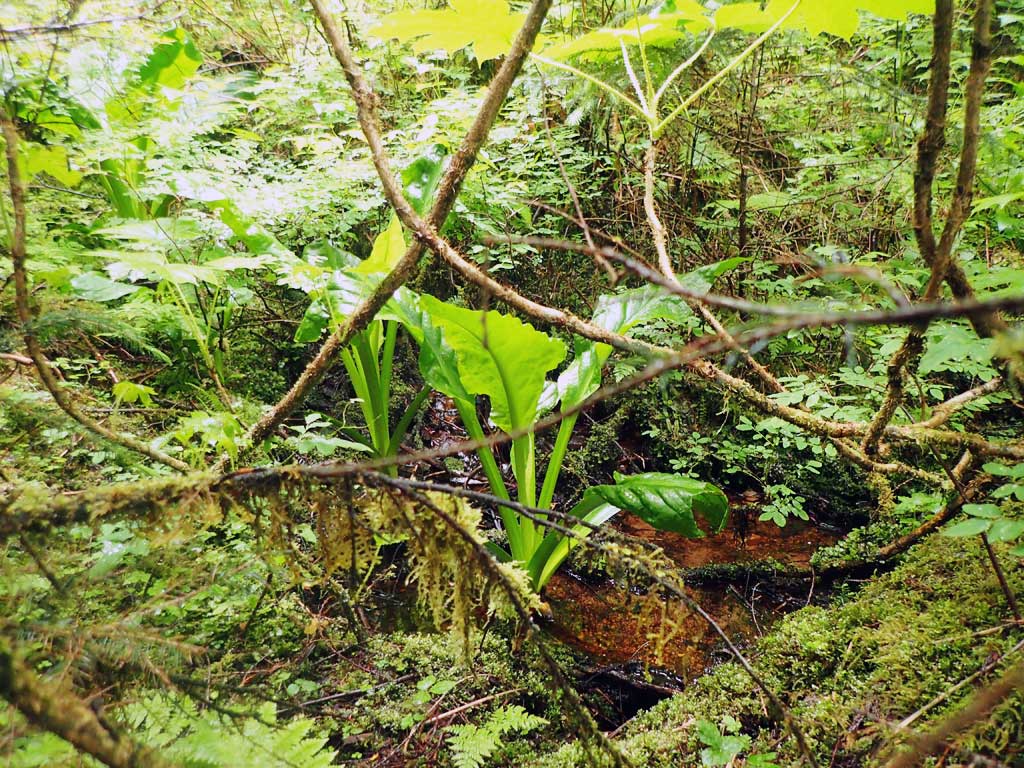
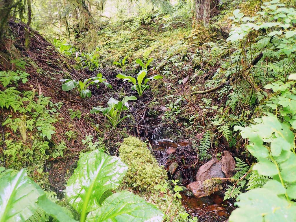
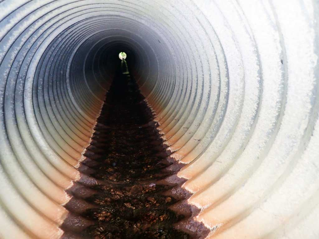
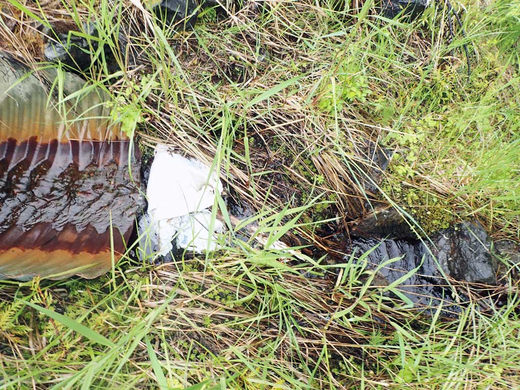
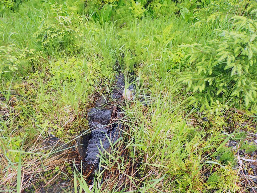
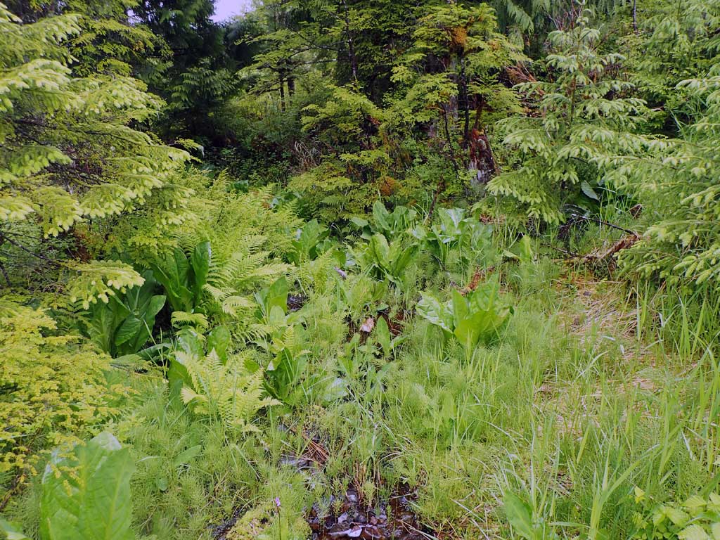
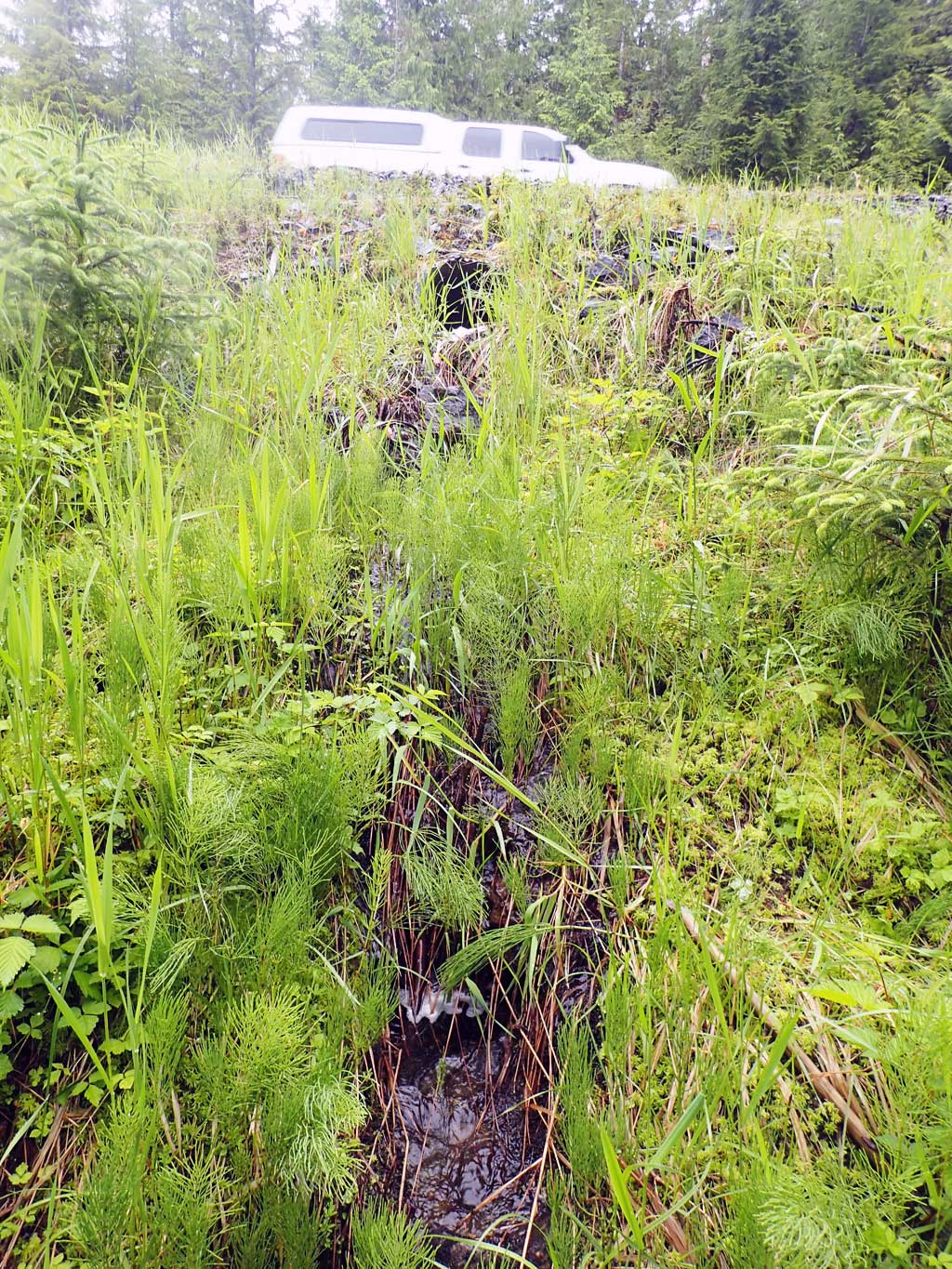
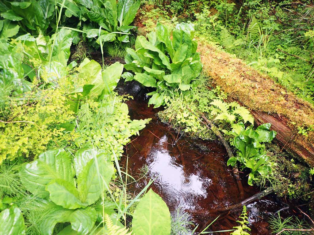
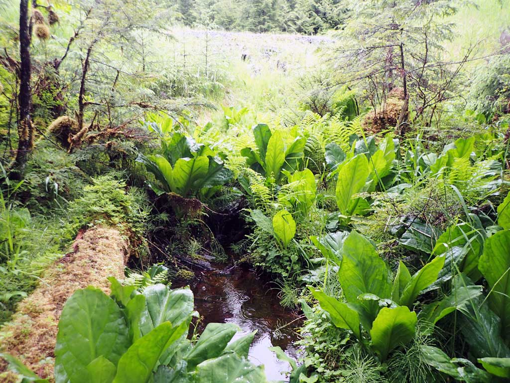
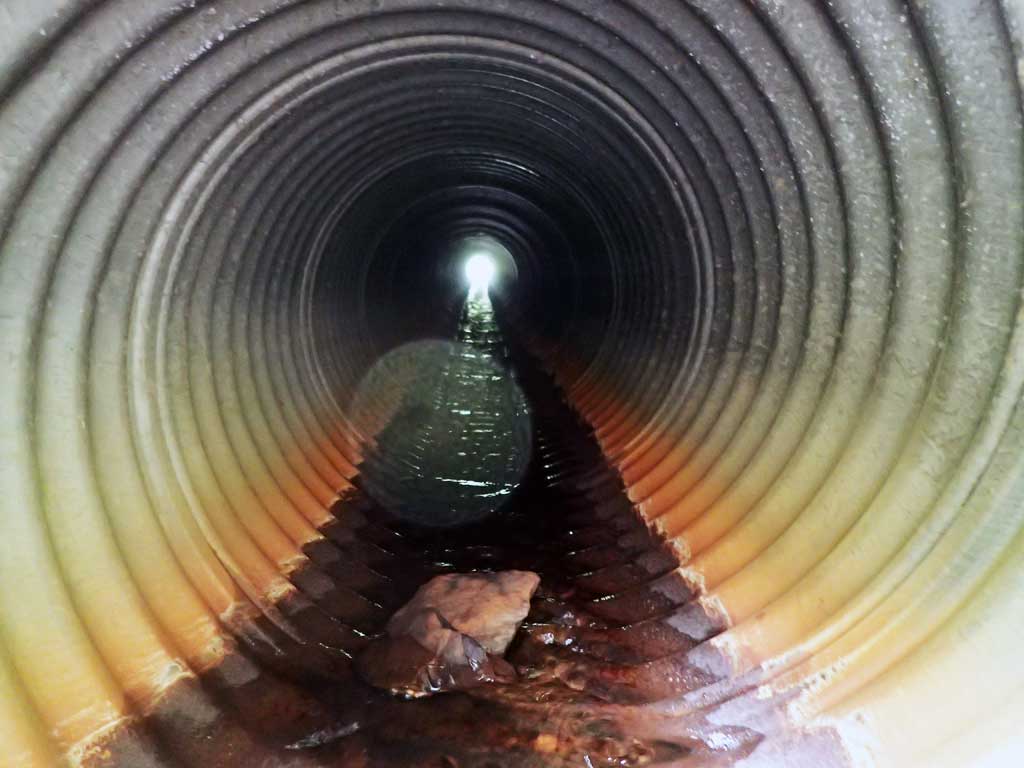
Comments: Narrow steep, shallow cascades upstream, shallow meanders through marsh downstream. Pipe perched on riprap.
Culvert Measurements
| ID: 1 | Structure Type: Circular pipe (Corrugated steel) | Fish Passage Rating: | |||||||||||||||||||||||||||||||||||||||||
|
|
|
|||||||||||||||||||||||||||||||||||||||||
Comments: Outfall height to base of riprap. Top of culvert length 65.8'. |
|||||||||||||||||||||||||||||||||||||||||||
Culvert Observations:
|
|||||||||||||||||||||||||||||||||||||||||||
Stream Measurements
|
|
| Stream Width Type | Distance From Crossing (ft) |
Stream Width (ft) |
|---|---|---|
| Downstream ordinary high water | 50.0 | 4.10 |
| Downstream ordinary high water | 100.0 | 3.60 |
| Downstream ordinary high water | 150.0 | 2.00 |
| Upstream ordinary high water | 90.0 | 1.60 |
| Upstream ordinary high water | 100.0 | 2.50 |
| Upstream ordinary high water | 120.0 | 1.75 |
Elevations
| Locator ID | Culvert Number |
River Distance (ft)1 |
Distance From Crossing (ft)2 |
Relative Elevation (ft) |
|---|---|---|---|---|
| Road Elev | 106.70 | |||
| D/S Grade Ctrl (Thalweg) (log steps) | 0.00 | 86.95 | ||
| D/S Water Surface Elev | 0.00 | 87.32 | ||
| D/S Grade Ctrl (Thalweg) | 18.00 | 88.14 | ||
| D/S Water Surface Elev | 18.00 | 88.43 | ||
| D/S Grade Ctrl (Thalweg) | 27.00 | 89.64 | ||
| D/S Water Surface Elev | 27.00 | 89.79 | ||
| D/S Grade Ctrl (Thalweg) (base of riprap) | 37.00 | 90.64 | ||
| D/S Water Surface Elev | 37.00 | 90.95 | ||
| D/S Grade Ctrl (Thalweg) | 55.00 | 97.30 | ||
| D/S Water Surface Elev | 55.00 | 97.76 | ||
| Outlet Invert (on pipe) | 56.00 | 97.84 | ||
| D/S Water Surface Elev | 56.00 | 97.92 | ||
| Outlet Culvert Top | 59.00 | 100.00 | ||
| Inlet Culvert Top | 124.80 | 101.30 | ||
| Inlet Culvert Invert (on pipe) | 128.80 | 99.36 | ||
| U/S Water Surface Elev | 128.80 | 99.50 | ||
| U/S Grade Ctrl (Thalweg) (log step) | 138.80 | 100.27 | ||
| U/S Water Surface Elev | 138.80 | 101.26 | ||
| U/S Grade Ctrl (Thalweg) | 146.80 | 100.31 | ||
| U/S Water Surface Elev | 146.80 | 101.54 |
Notes:
- River distance is measured continuously throughout the survey reach along the thalweg of the stream.
- Measured from each end of the crossing along the thalweg of the stream.
Fish Sampling Efforts
| Gear Type: Minnow Trap (A) | Trap Duration(h): 1.25 | |
| Comments: no fish | ||
| Gear Type: Minnow Trap (B) | Trap Duration(h): 1.25 | |
| Comments: no fish | ||
Fish Observations
No fish observations occurred during this survey.
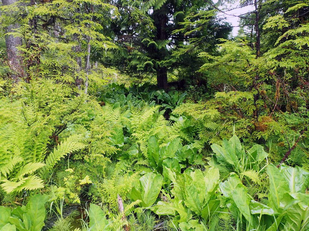
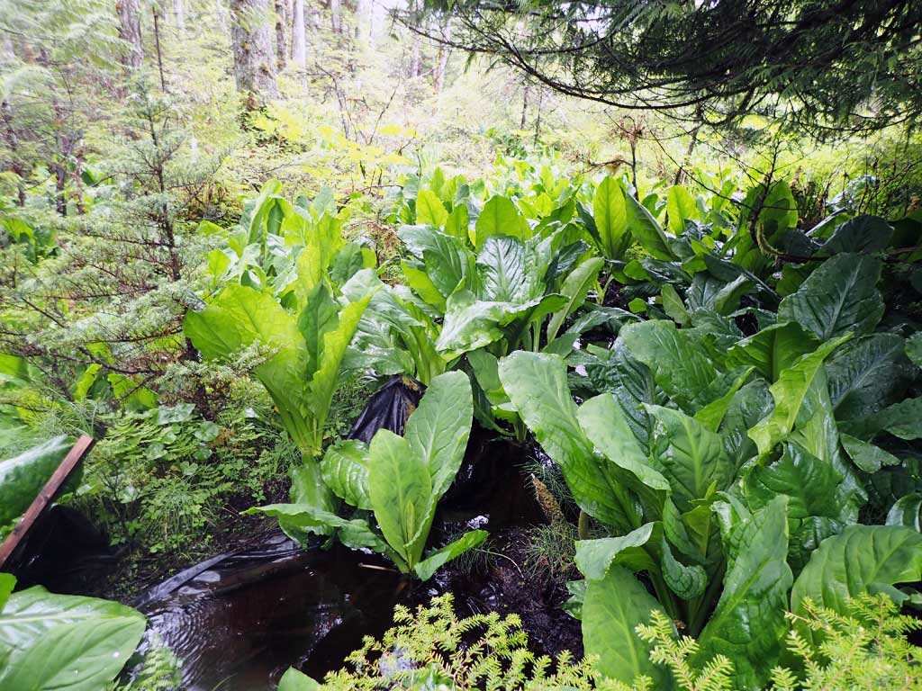
Photos
Questions or comments about this report can be directed to dfg.dsf.webmaster@alaska.gov