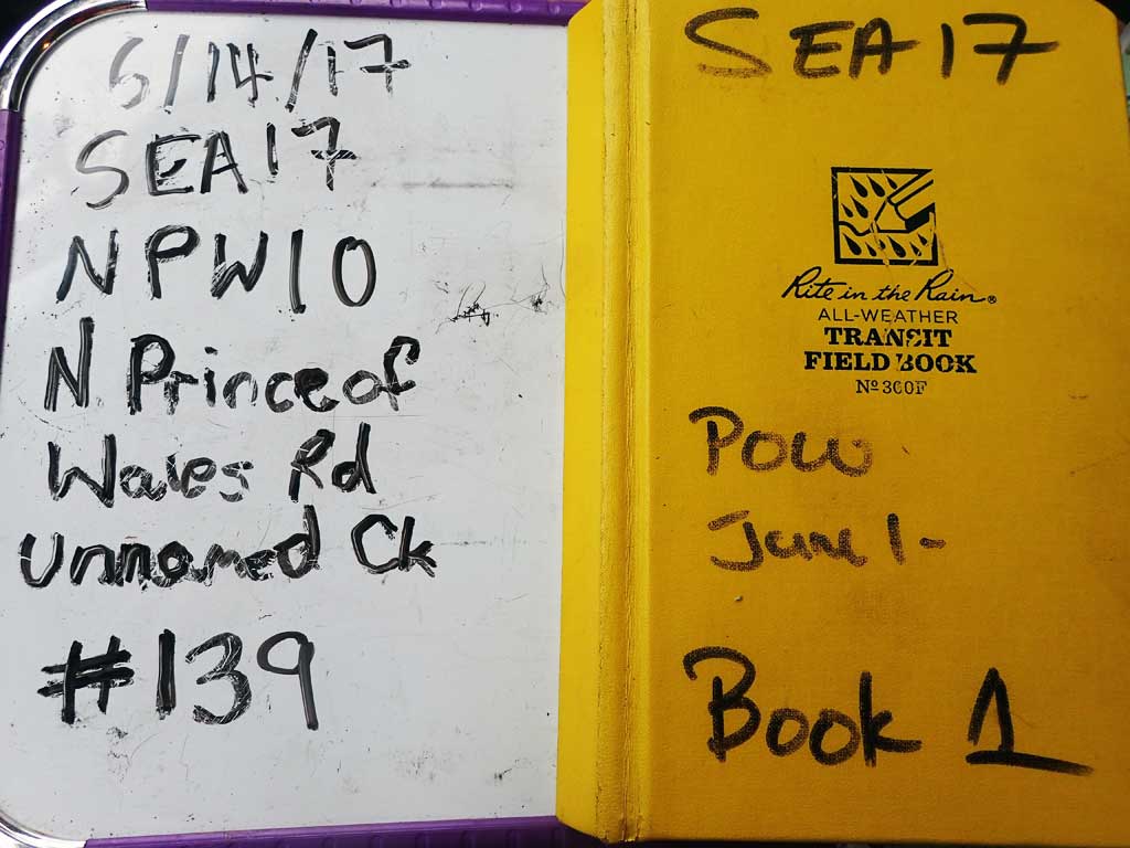
Fish Passage Site 10103576
Coordinates (dec. deg.): 55.80693°, -133.03630°
Legal Description: C070S081E17
Region: Southeast
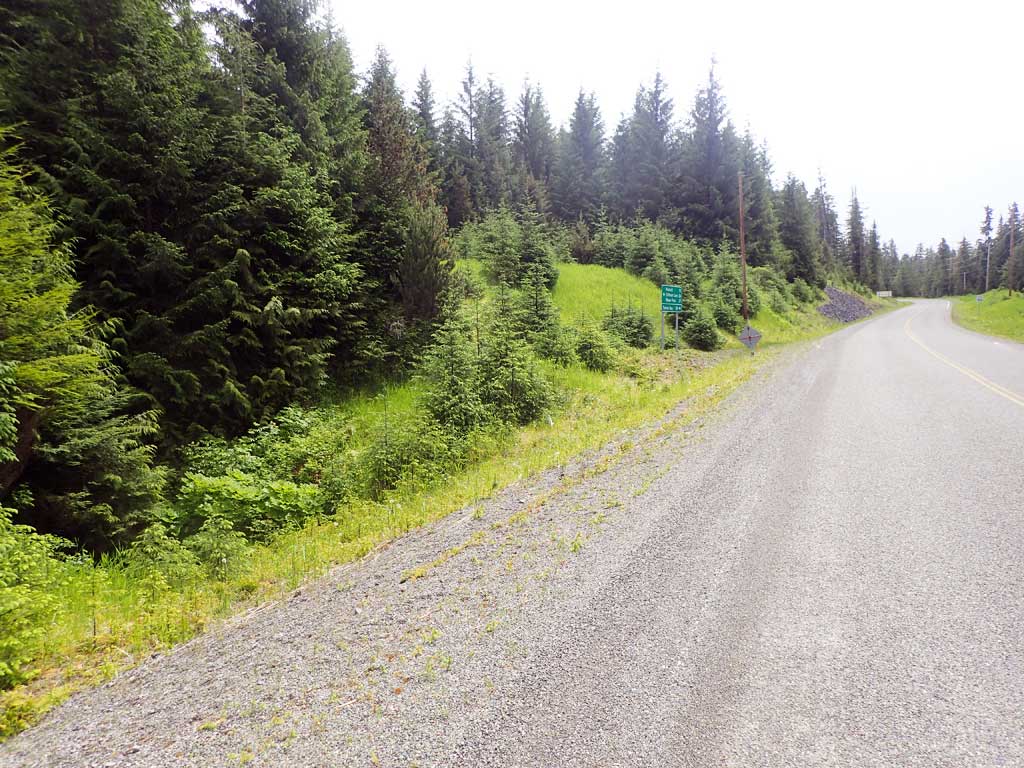
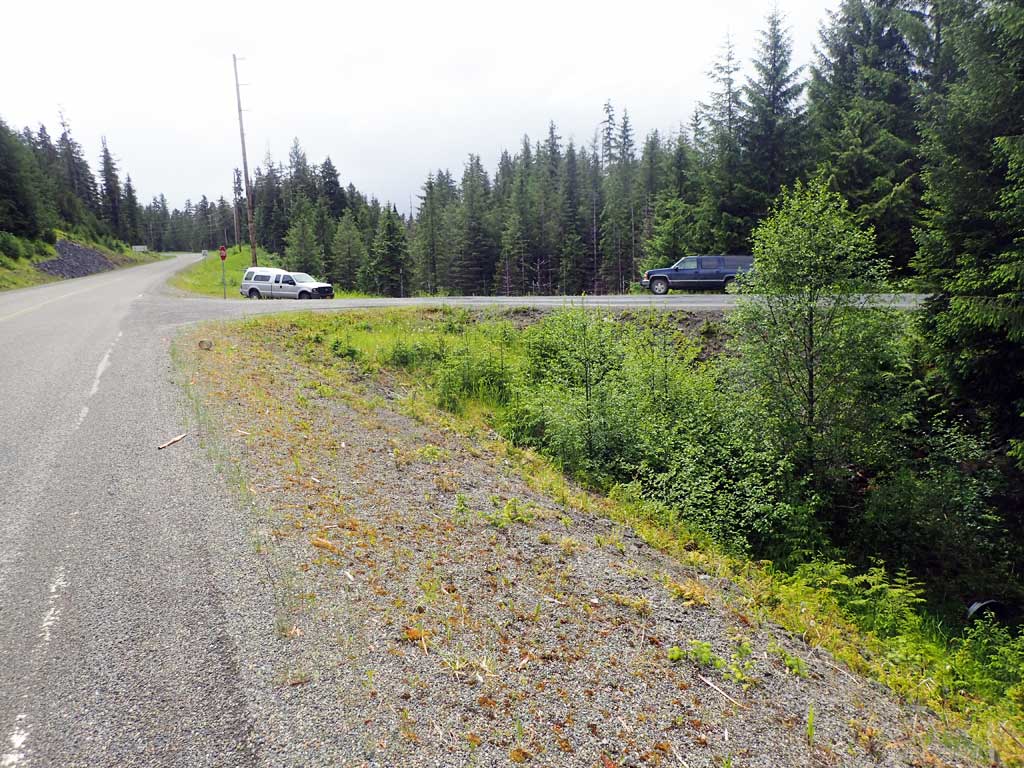
Road Name: North Prince of Wales Road
Datum: NAD83
Quad Name / ITM: Craig D-4
AWC Stream #:
Stream Name: Unnamed
Elevation:
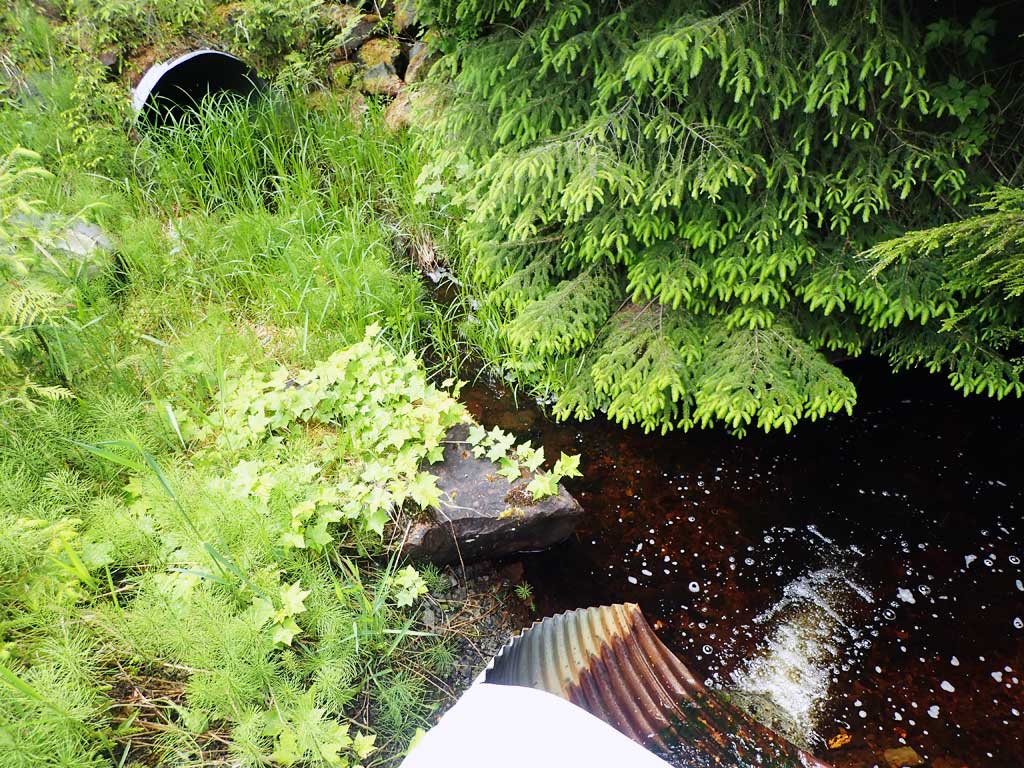
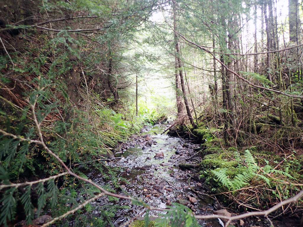
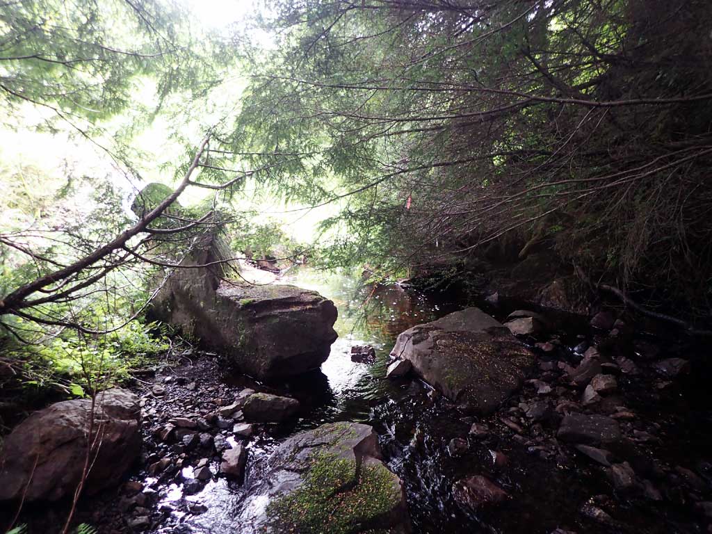
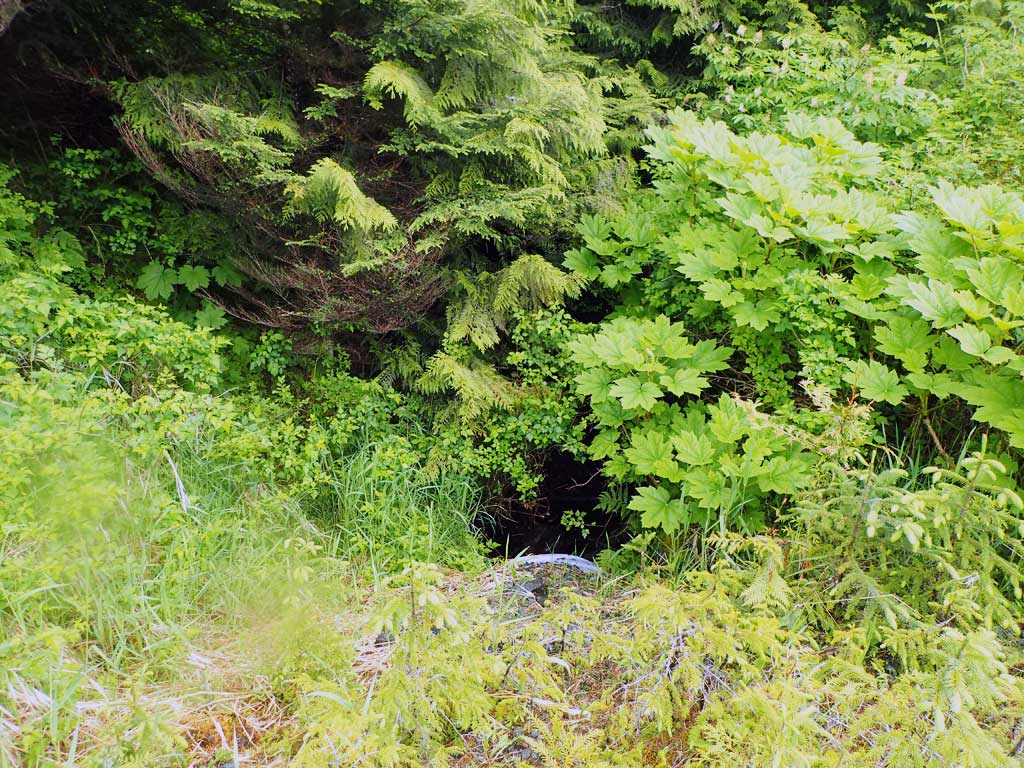
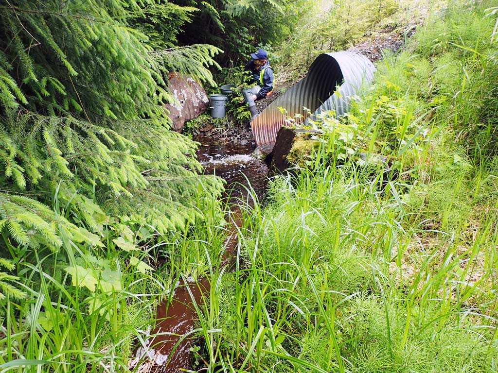
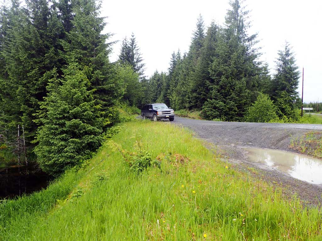
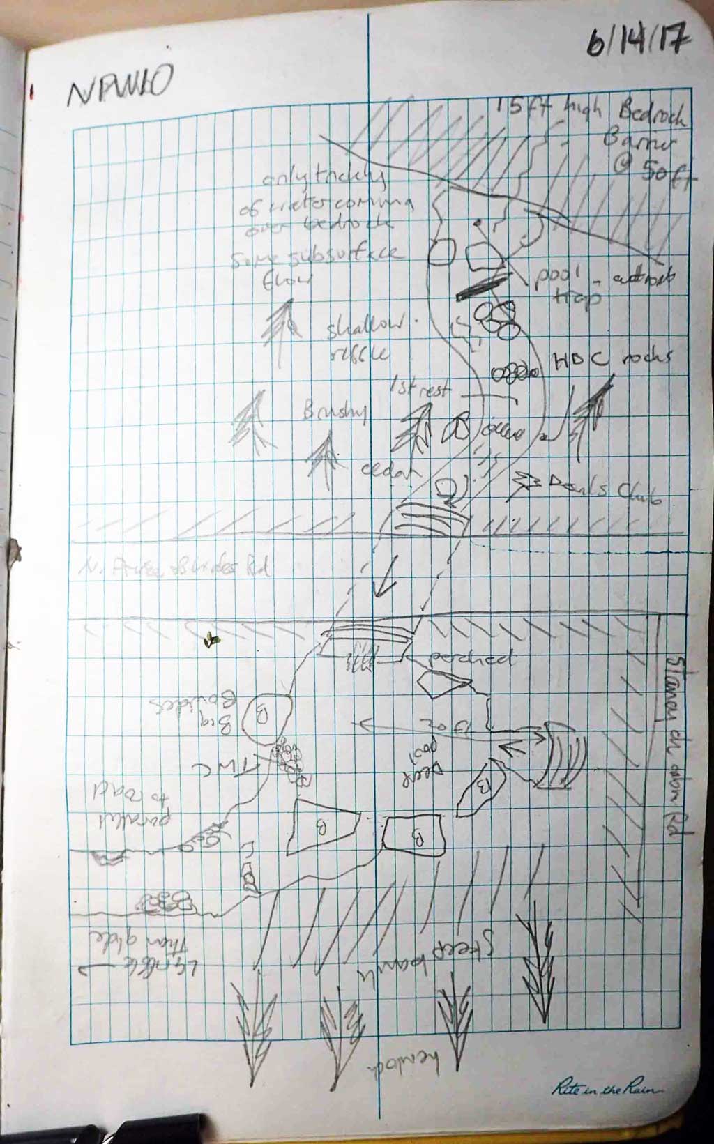
Site Comments: Site at Staney Creek turn off.
Survey SEA17-NPW10
Observers: Elizabeth Flory, Kelly Petty
Overall Fish Passage Rating:
Tidal: No
Backwatered: No
Step Pools: No
Construction Year:
Site Observations:
- Constriction ratio gray
- Culvert gradient red
- Outfall height gray
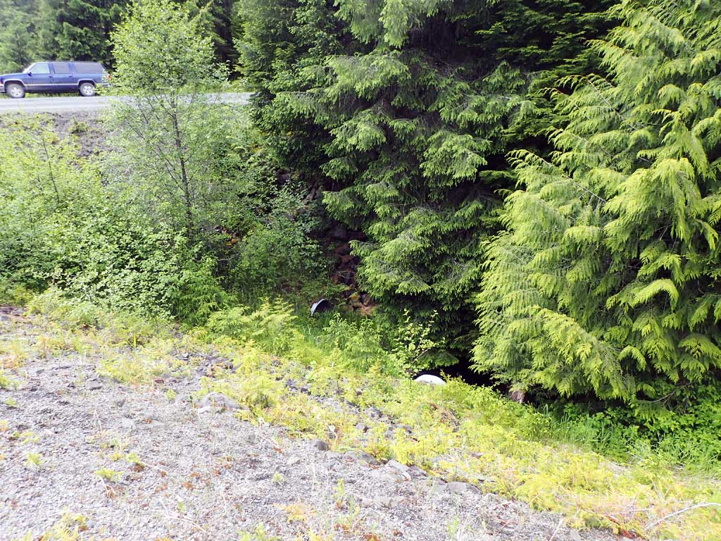
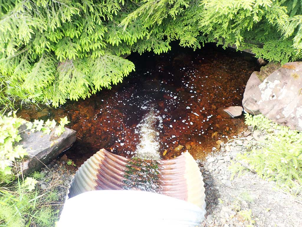
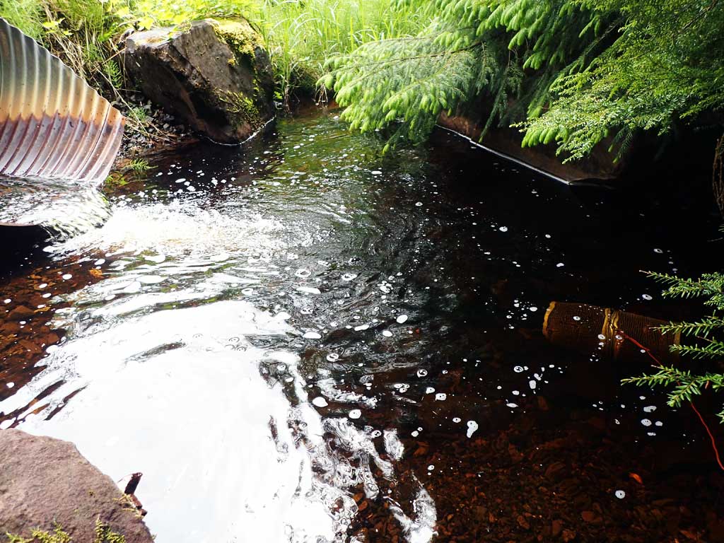
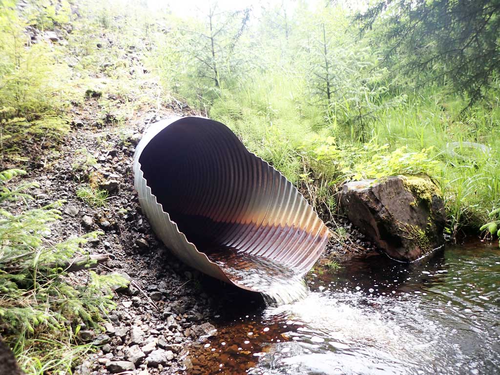
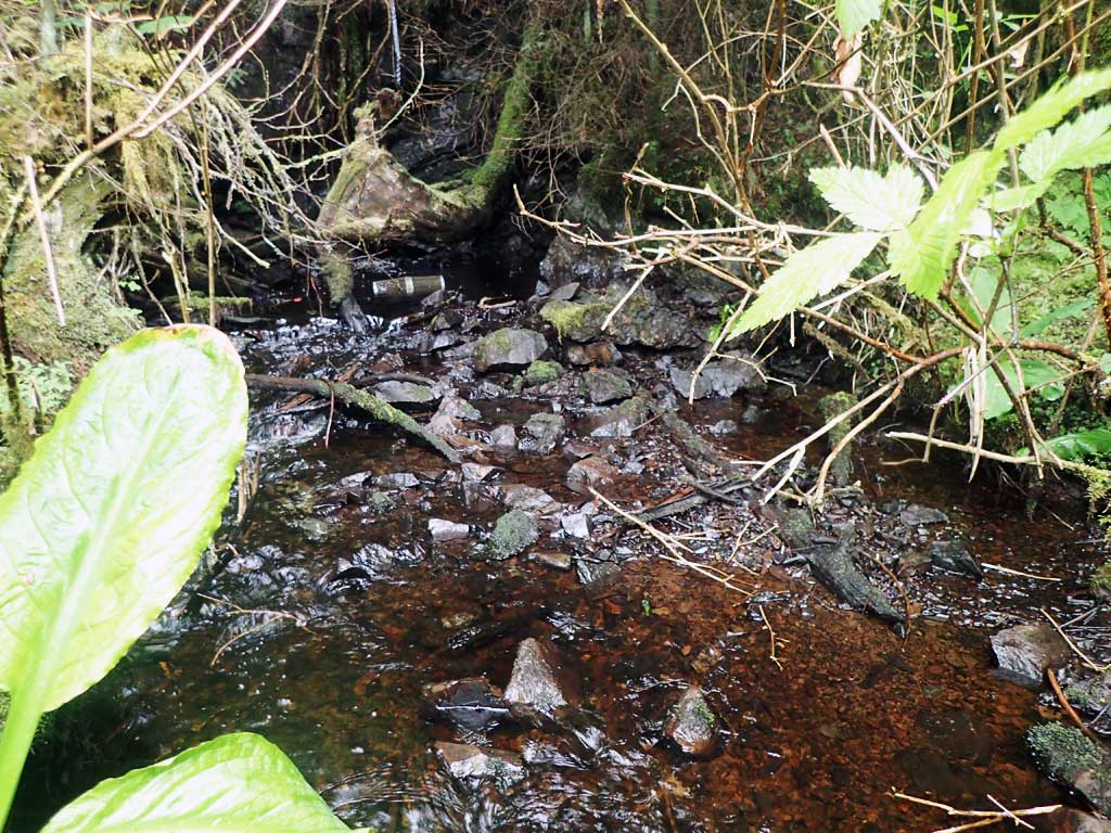
Comments: Rock wall 50ft from culvert, stream trickles over wall.
Culvert Measurements
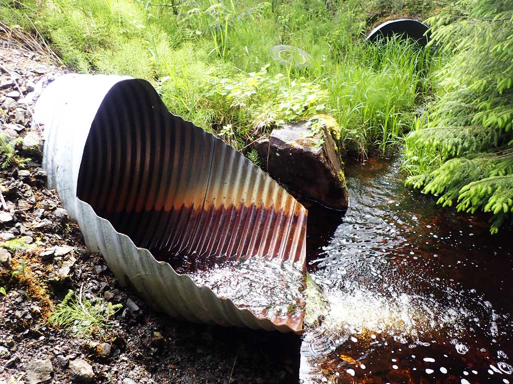
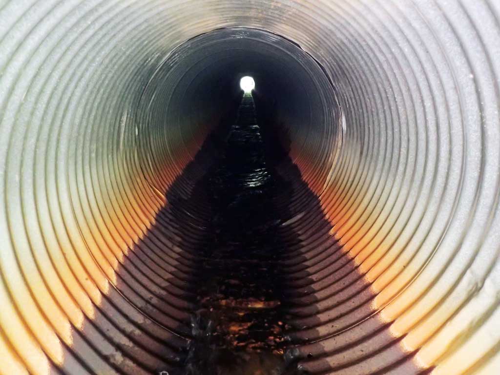
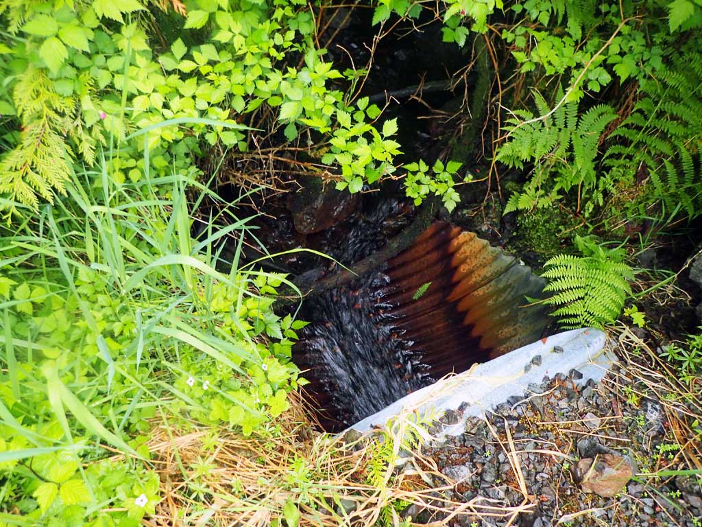
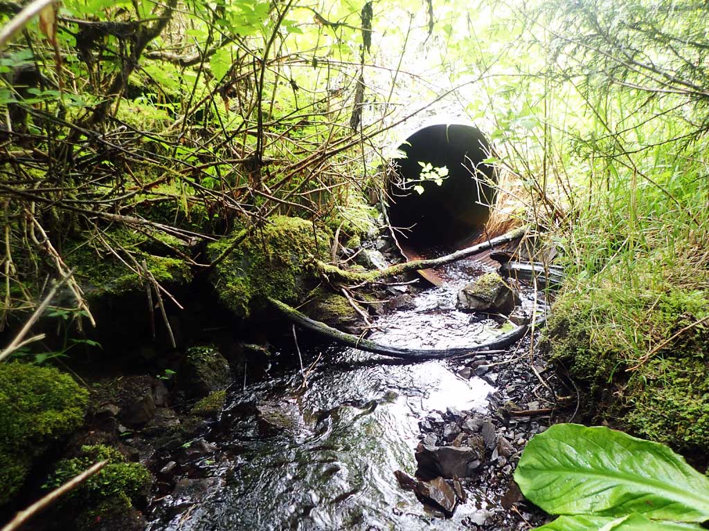
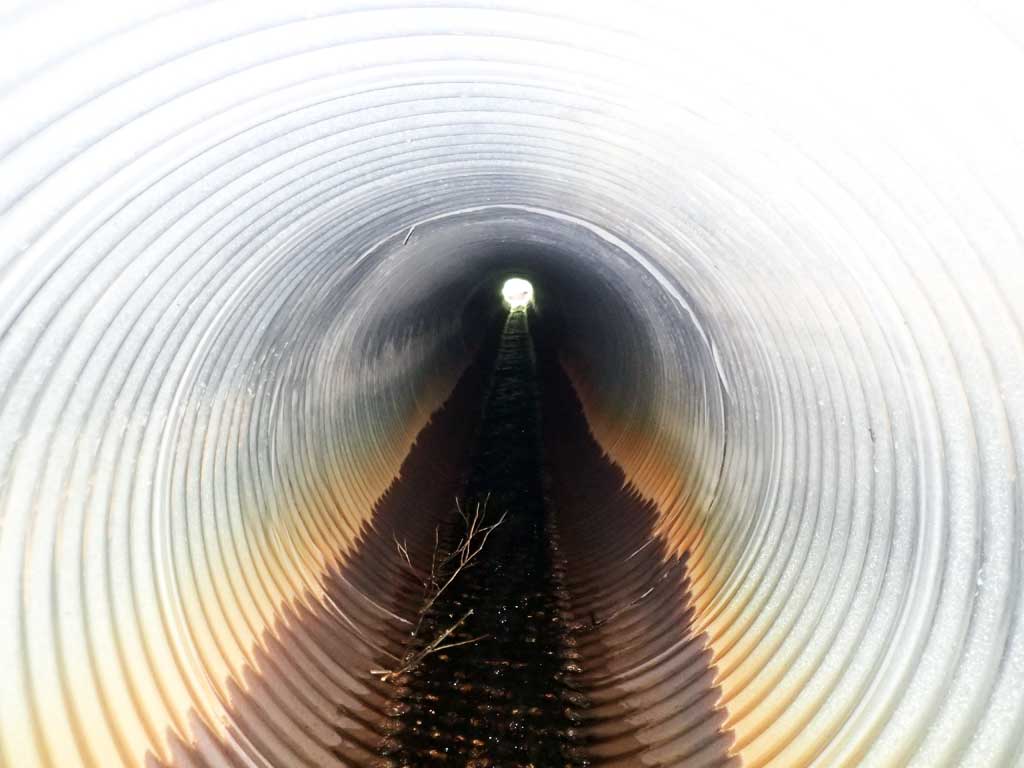
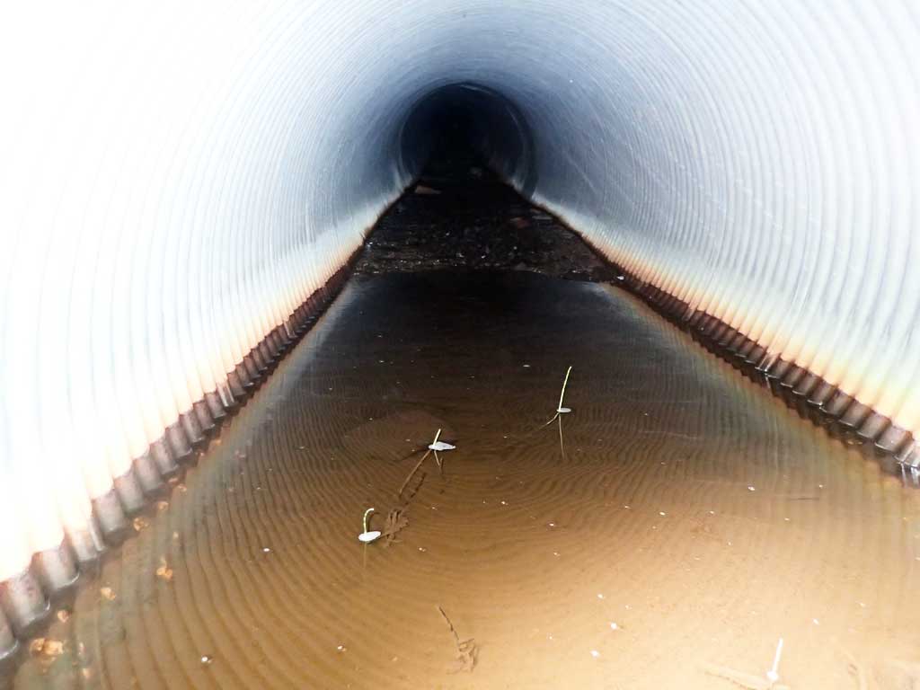
| ID: 1 | Structure Type: Circular pipe (Corrugated steel) | Fish Passage Rating: | |||||||||||||||||||||||||||||||||||||||||
|
|
|
|||||||||||||||||||||||||||||||||||||||||
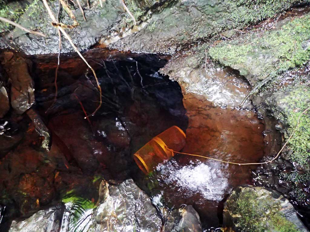
Comments: Not sure rustline is all the way to top, but recorded as 4ft. Top of cuvlert length 115.1'. |
|||||||||||||||||||||||||||||||||||||||||||
Culvert Observations:
|
|||||||||||||||||||||||||||||||||||||||||||
Stream Measurements
|
|
| Stream Width Type | Distance From Crossing (ft) |
Stream Width (ft) |
|---|---|---|
| Downstream ordinary high water | 30.0 | 6.80 |
| Downstream ordinary high water | 75.0 | 6.00 |
| Downstream ordinary high water | 115.0 | 7.20 |
Elevations
| Locator ID | Culvert Number |
River Distance (ft)1 |
Distance From Crossing (ft)2 |
Relative Elevation (ft) |
|---|---|---|---|---|
| Road Elev | 129.70 | |||
| D/S Grade Ctrl (Thalweg) | 0.00 | 100.00 | ||
| D/S Water Surface Elev | 0.00 | 100.44 | ||
| D/S Grade Ctrl (Thalweg) | 67.00 | 101.34 | ||
| D/S Water Surface Elev | 67.00 | 101.58 | ||
| D/S Tailcrest or 1st Thalweg | 94.00 | 101.72 | ||
| D/S Water Surface Elev | 94.00 | 102.97 | ||
| Max Pool Depth | 99.00 | 103.80 | ||
| D/S Water Surface Elev | 99.00 | 104.13 | ||
| Outlet Invert | 102.00 | 104.32 | ||
| D/S Water Surface Elev | 102.00 | 104.43 | ||
| Outlet Culvert Top | 106.00 | 108.47 | ||
| Inlet Culvert Top | 221.00 | 114.55 | ||
| Inlet Culvert Invert | 225.00 | 110.47 | ||
| U/S Water Surface Elev | 225.00 | 110.82 | ||
| U/S Grade Ctrl (Thalweg) | 229.00 | 110.97 | ||
| U/S Water Surface Elev | 229.00 | 111.02 | ||
| U/S Water Surface Elev | 249.00 | 111.32 | ||
| U/S Grade Ctrl (Thalweg) | 249.00 | 110.92 |
Notes:
- River distance is measured continuously throughout the survey reach along the thalweg of the stream.
- Measured from each end of the crossing along the thalweg of the stream.
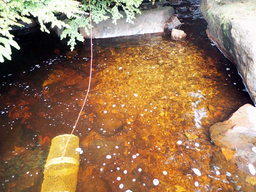
Fish Sampling Efforts
| Gear Type: Minnow Trap (A) | Trap Duration(h): 2.0 | |
| Comments: cutthroat 50ft upstream | ||
| Gear Type: Minnow Trap (B) | Trap Duration(h): 2.0 | |
| Comments: dolly 15ft downstream | ||
Fish Observations
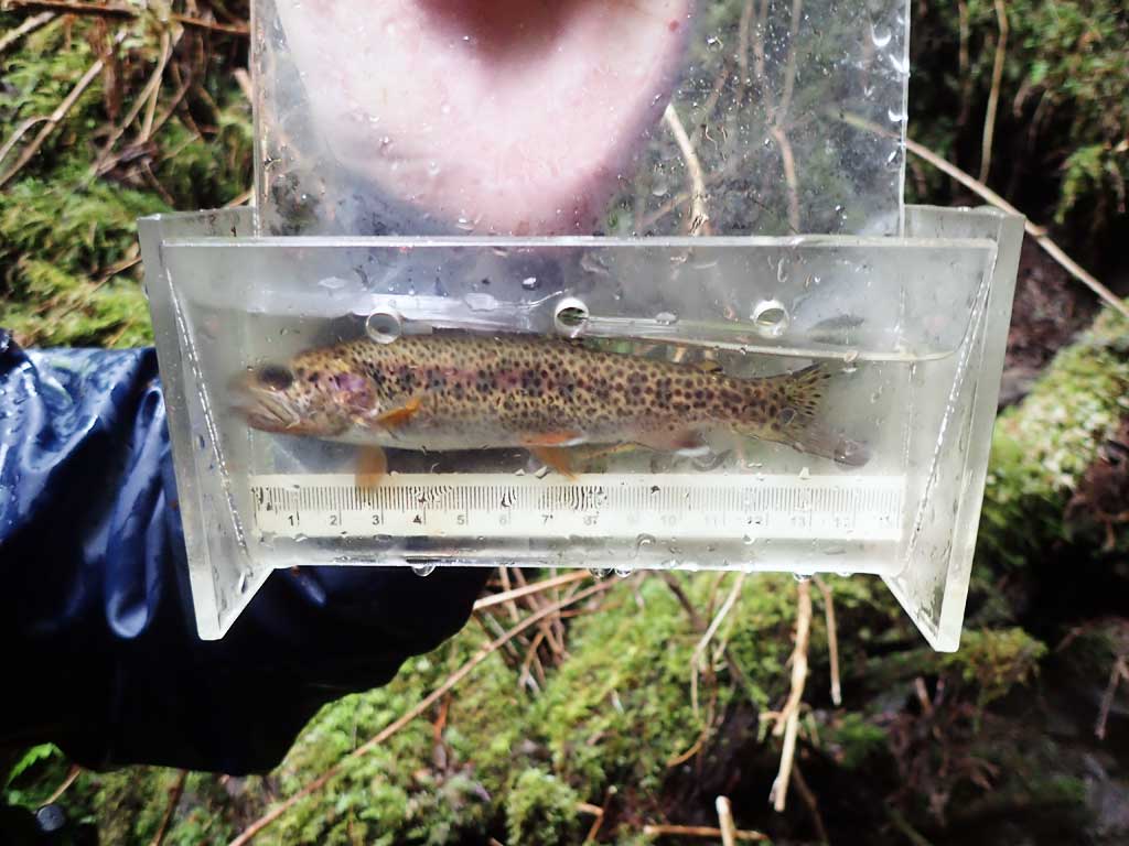
| Species: juvenile cutthroat trout | Life History: | ||
| Total Fish Observed: 1 | Fish Measured: 1 | Fork Lengths (mm) Min: 140 Max: 140 Mean: 140 | |
| Collected/Observed by Gear Type: Upstream Minnow Trap (1) | |||
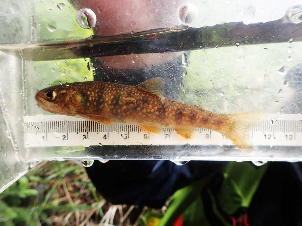
| Species: juvenile Dolly Varden | Life History: | ||
| Total Fish Observed: 1 | Fish Measured: 1 | Fork Lengths (mm) Min: 100 Max: 100 Mean: 100 | |
| Collected/Observed by Gear Type: Downstream Minnow Trap (1) | |||
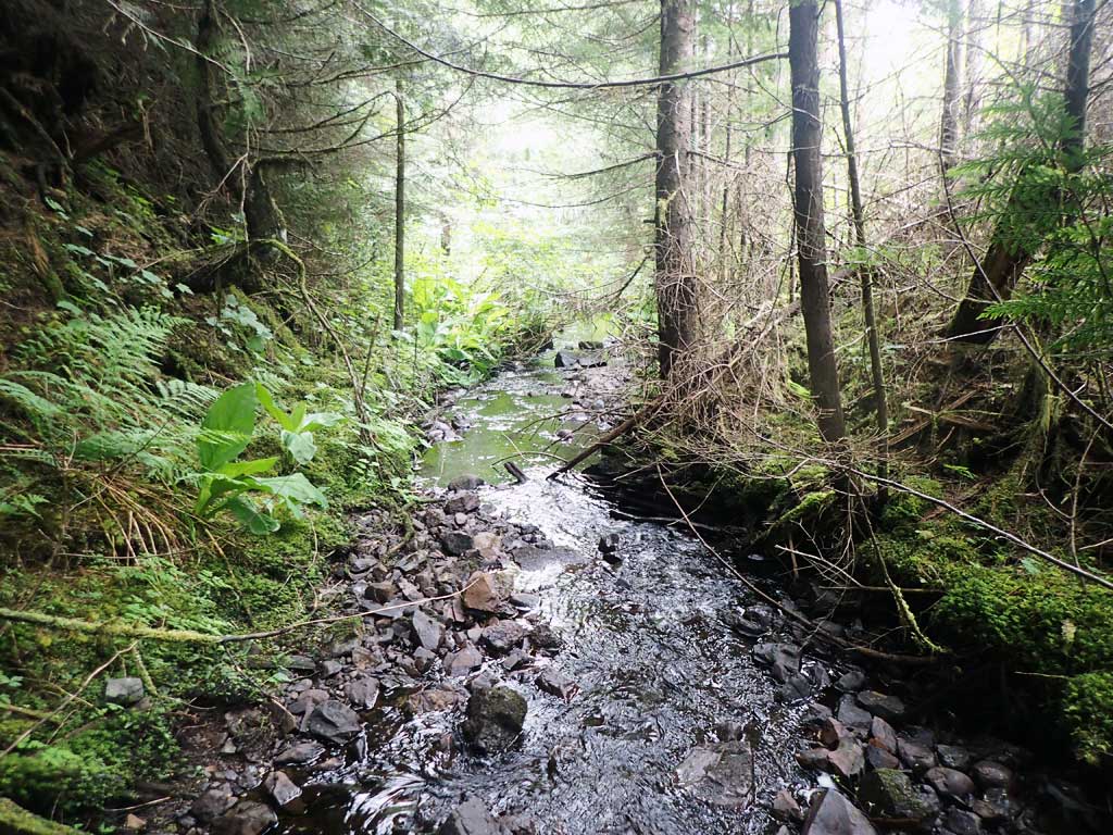
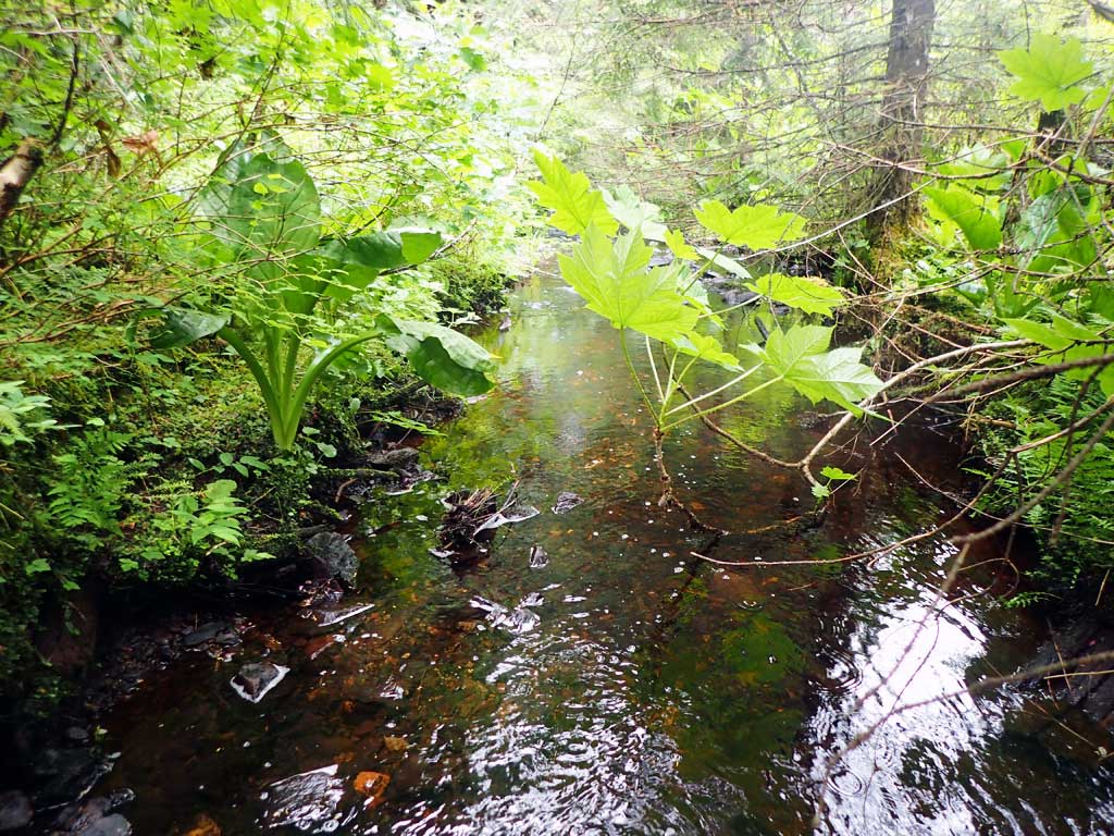
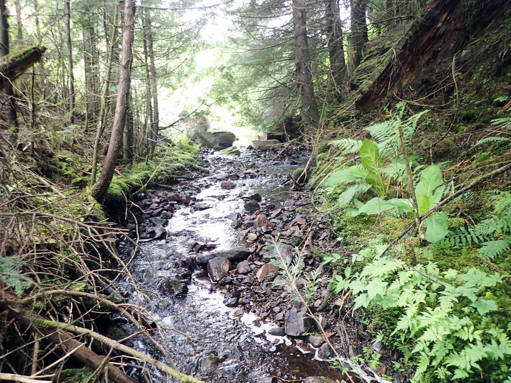
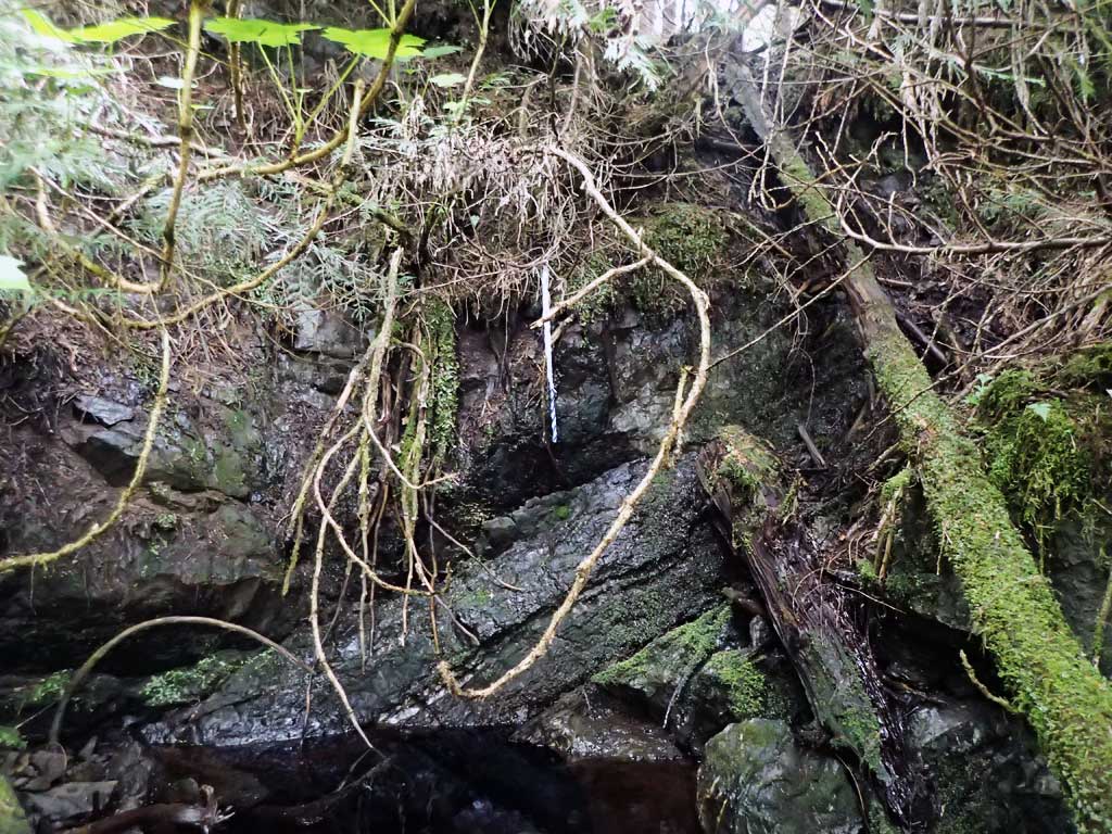
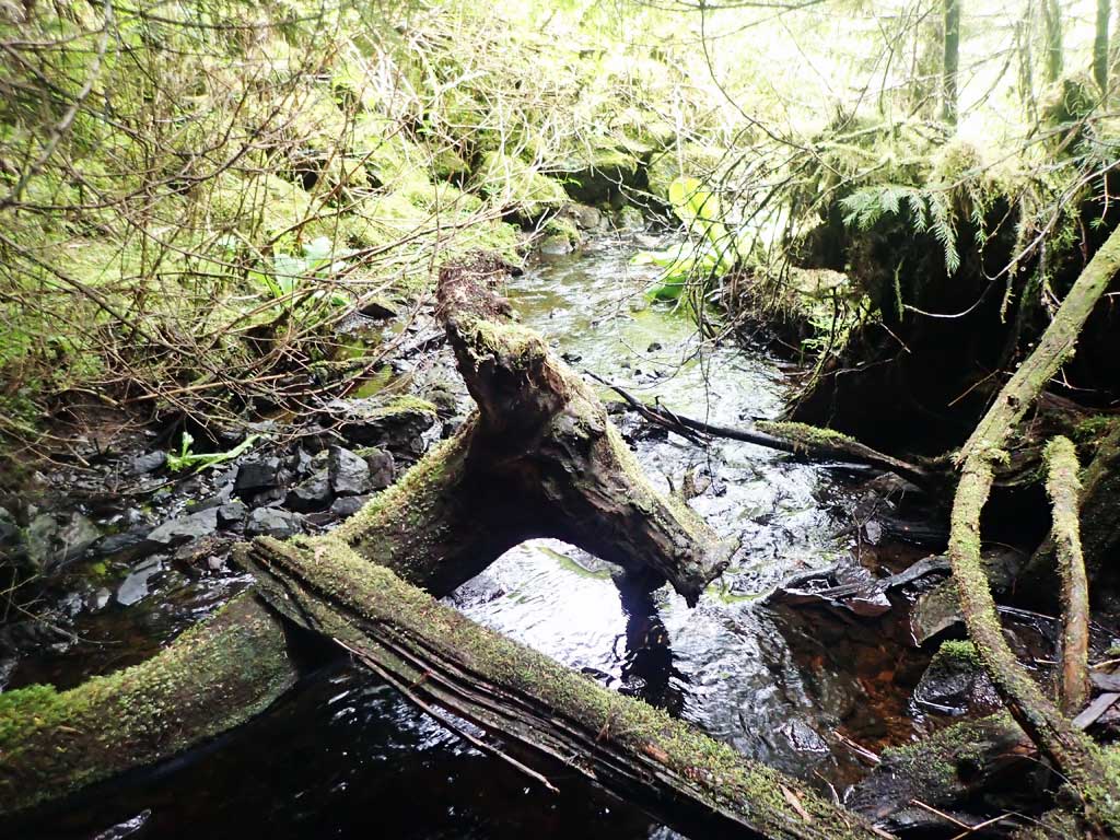
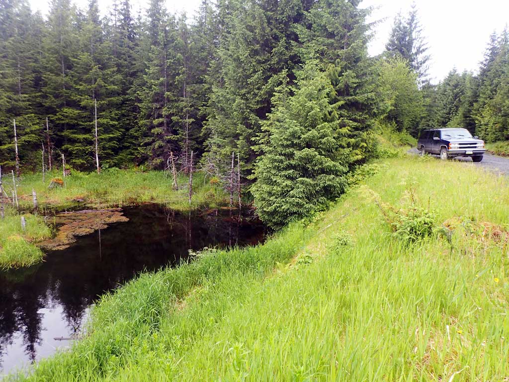
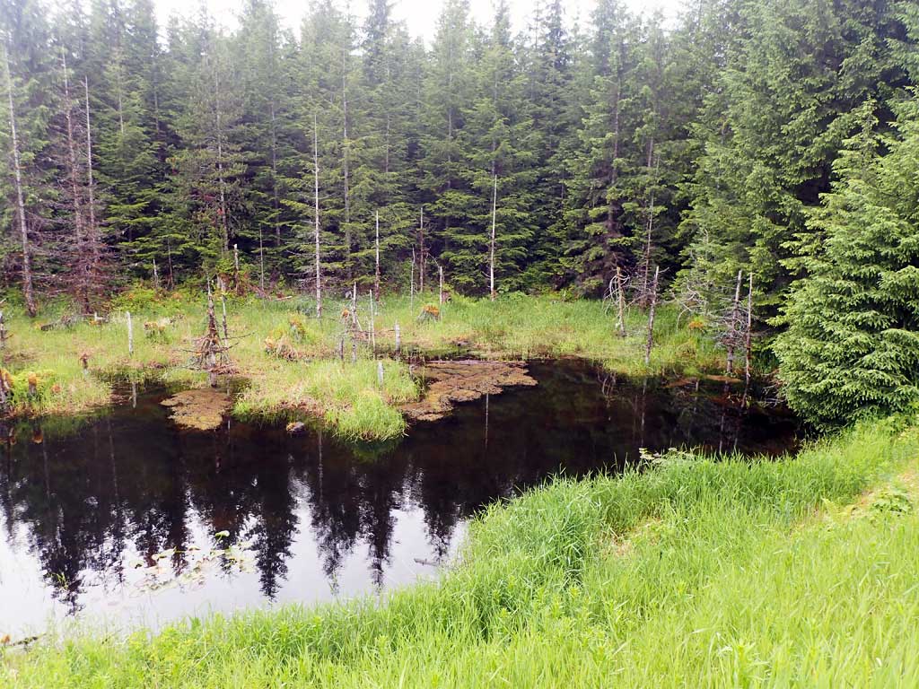
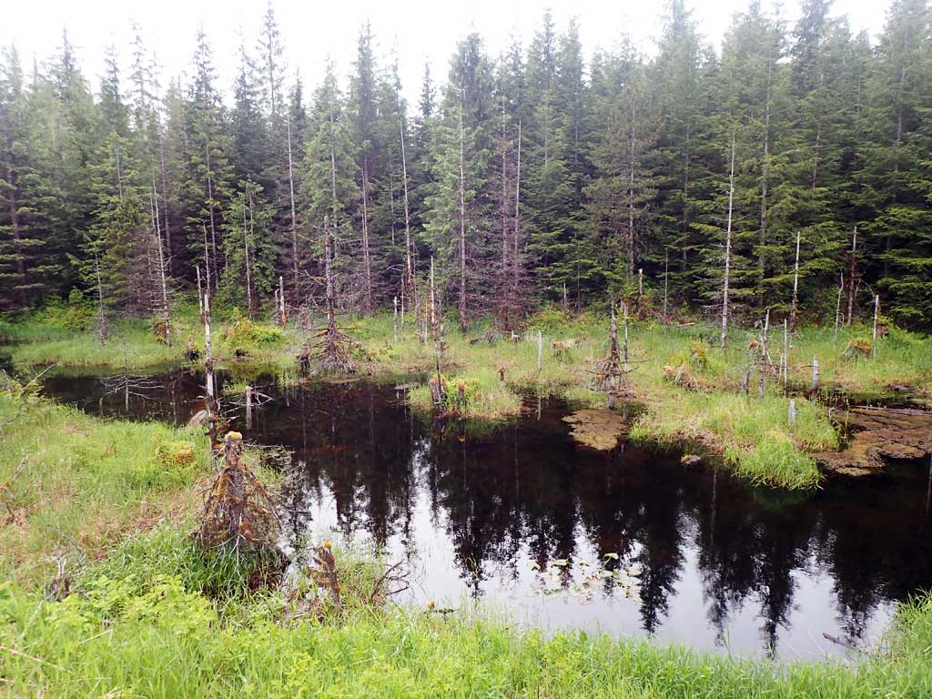
Photos
Questions or comments about this report can be directed to dfg.dsf.webmaster@alaska.gov