Fish Passage Site 10103574
Coordinates (dec. deg.): 55.81389°, -133.03415°
Legal Description: C070S081E08
Region: Southeast
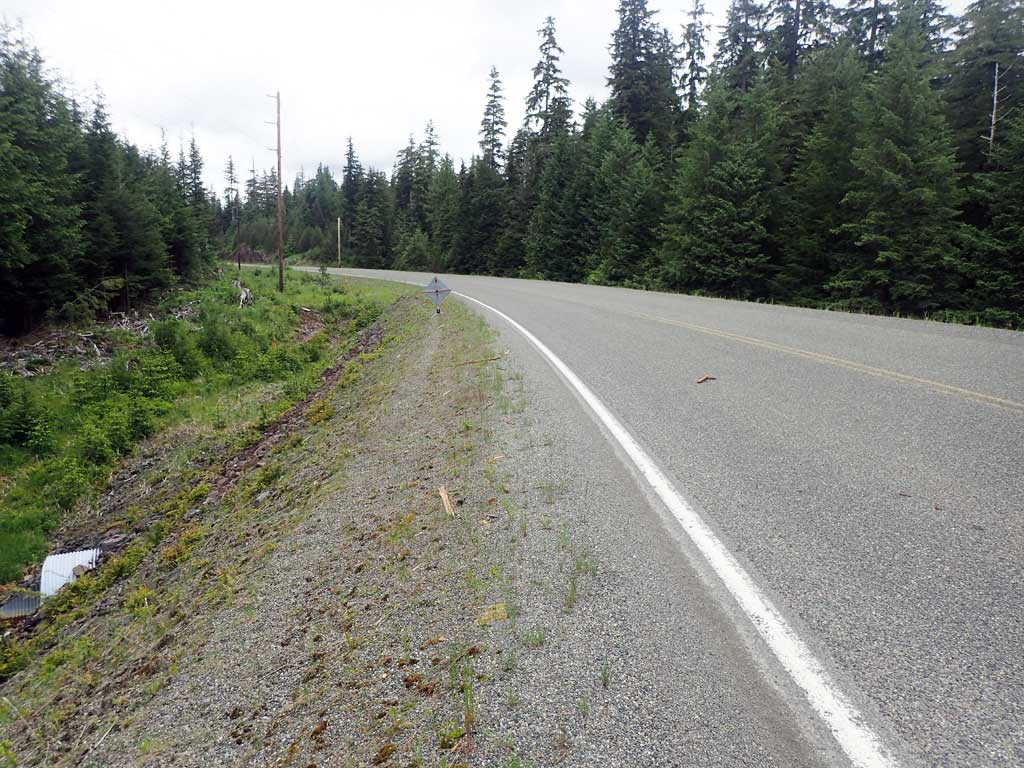
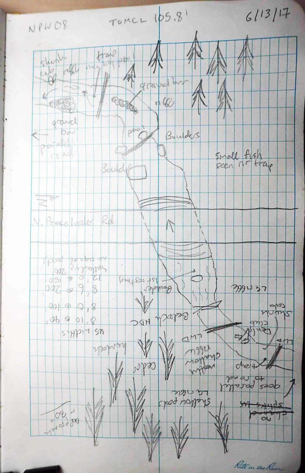
Road Name: North Prince of Wales Road
Datum: NAD83
Quad Name / ITM: Craig D-4
AWC Stream #: 103-90-10310-2005
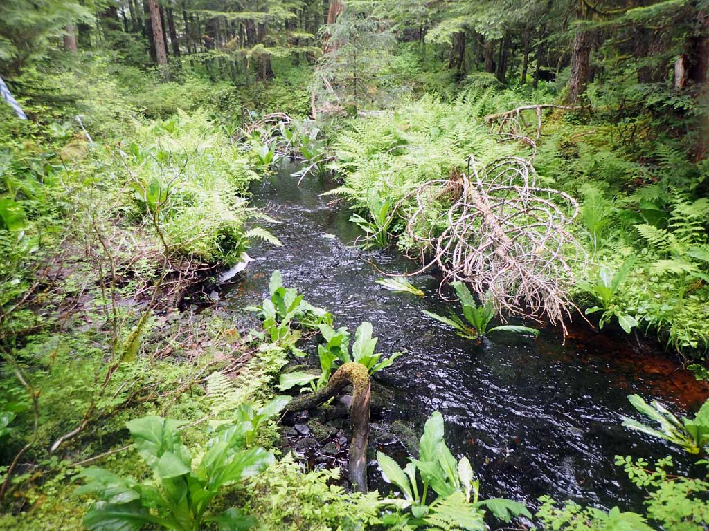
Stream Name: Unnamed
Elevation:
Site Comments: None
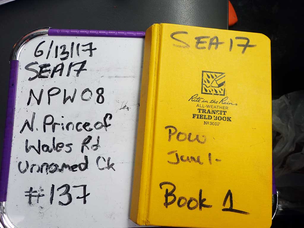
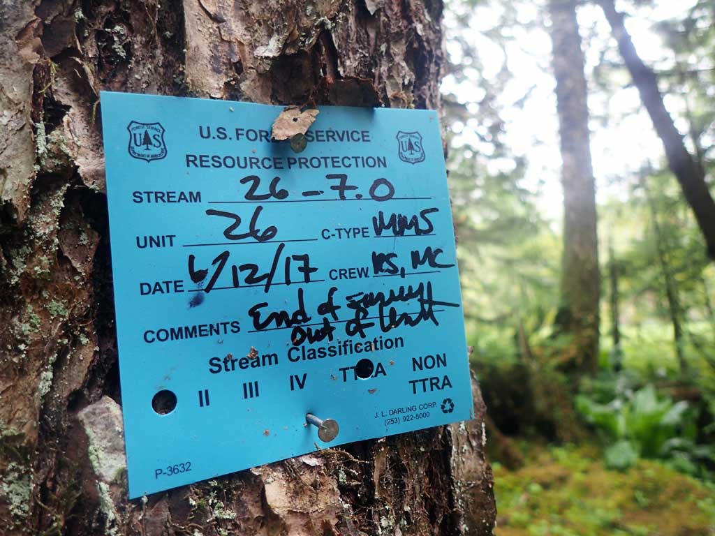
Survey SEA17-NPW08
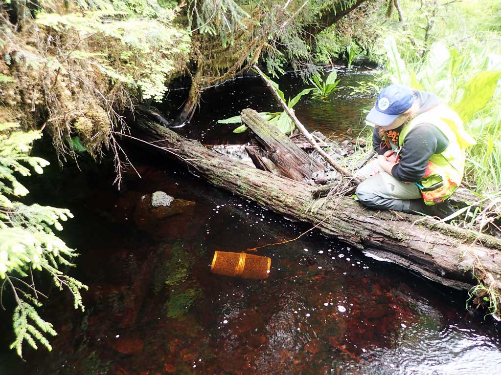
Observers: Elizabeth Flory, Kelly Petty
Overall Fish Passage Rating:
Tidal: No
Backwatered: No
Step Pools: No
Construction Year:
Site Observations:
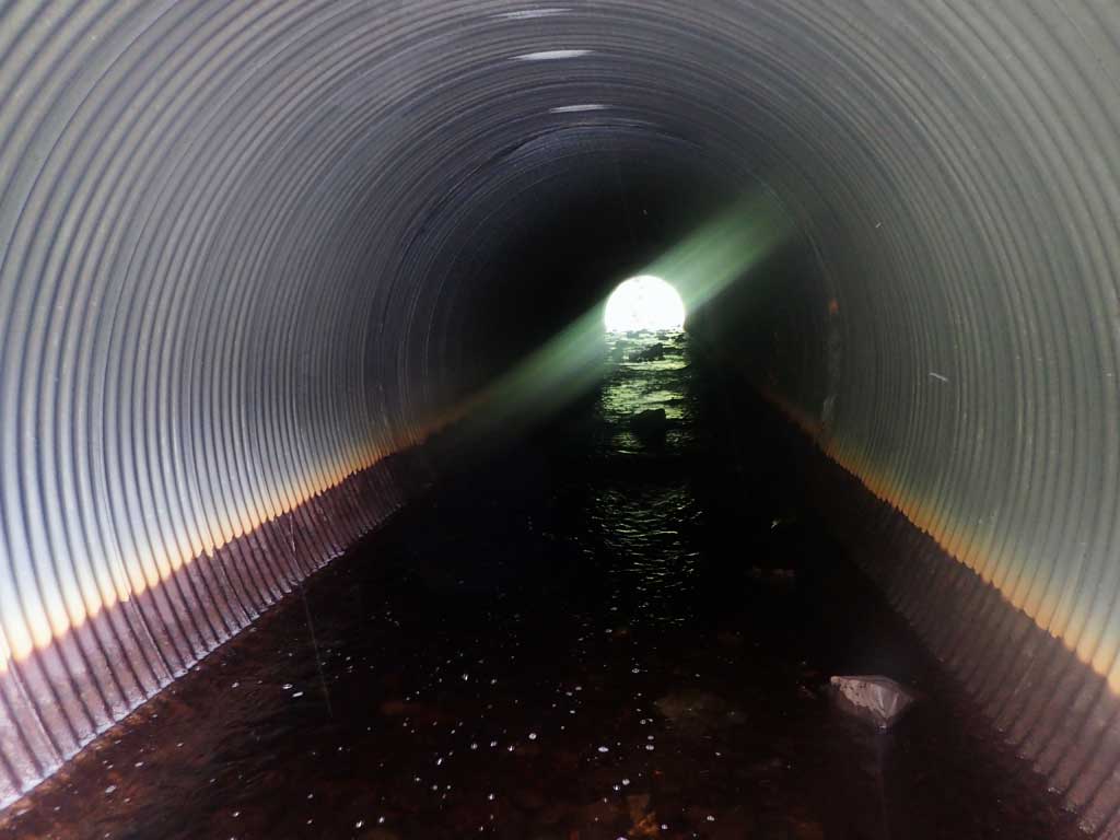
- Culvert gradient gray
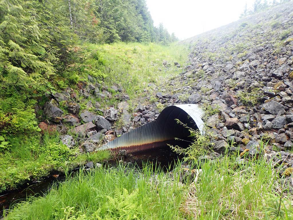
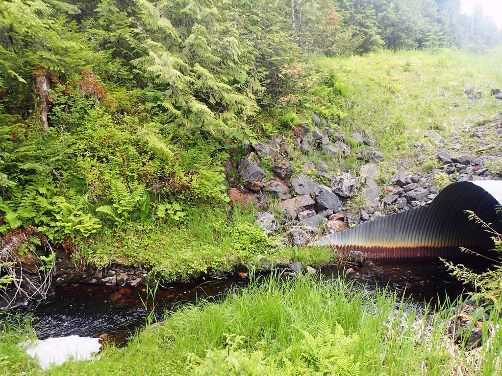
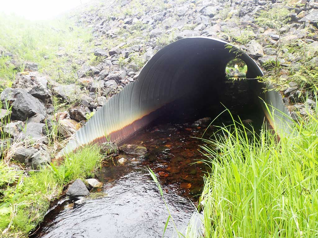
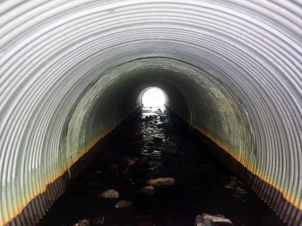
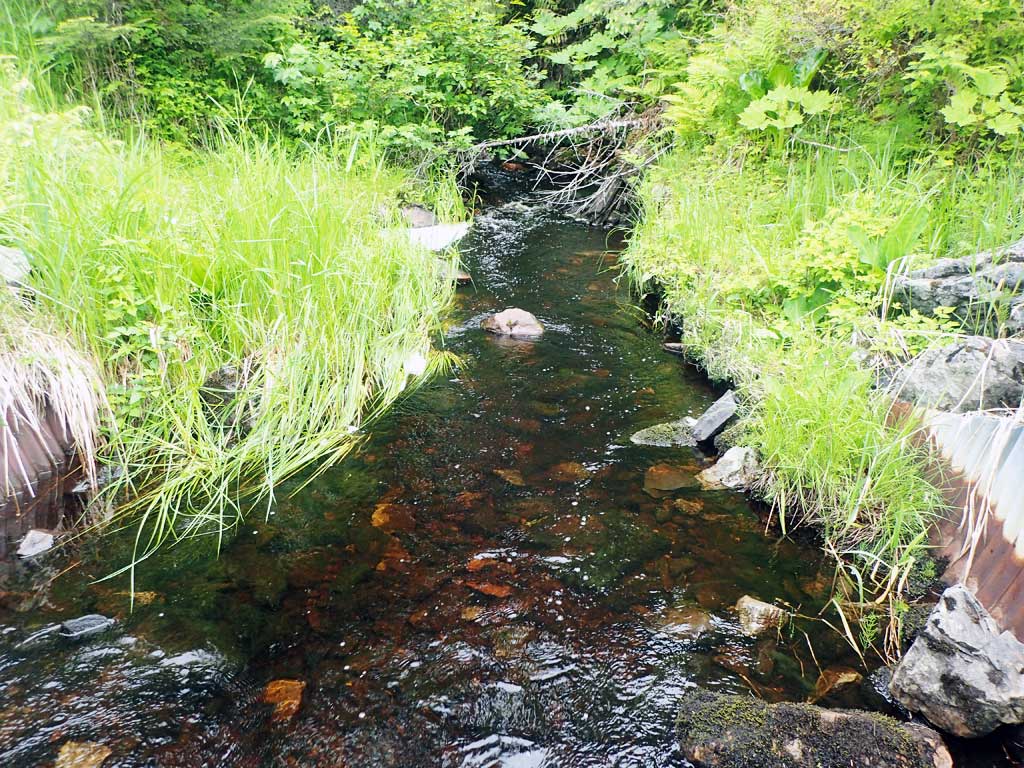
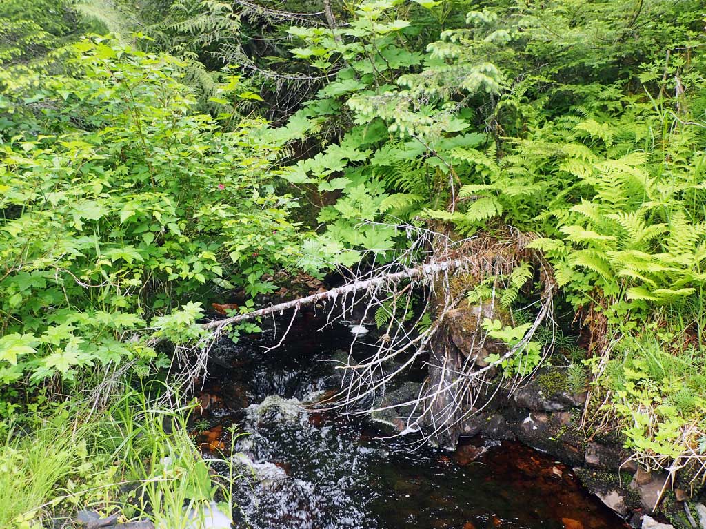
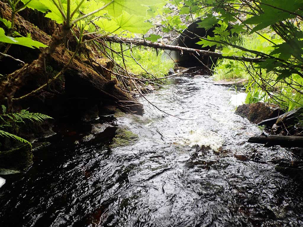
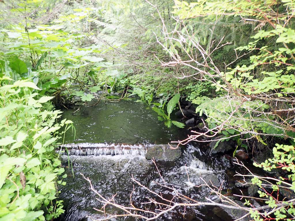
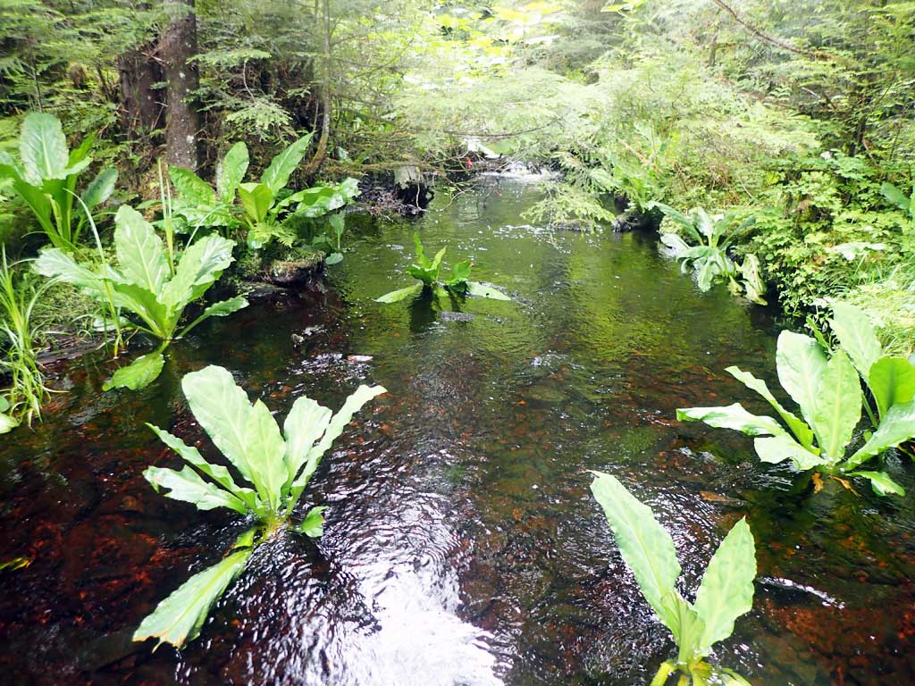
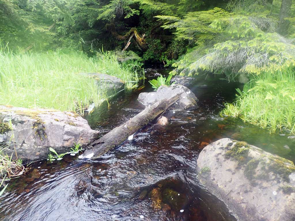
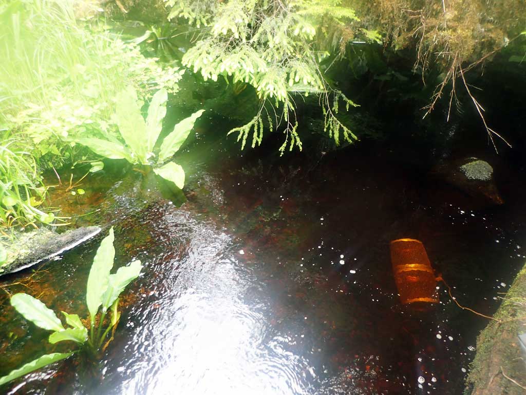
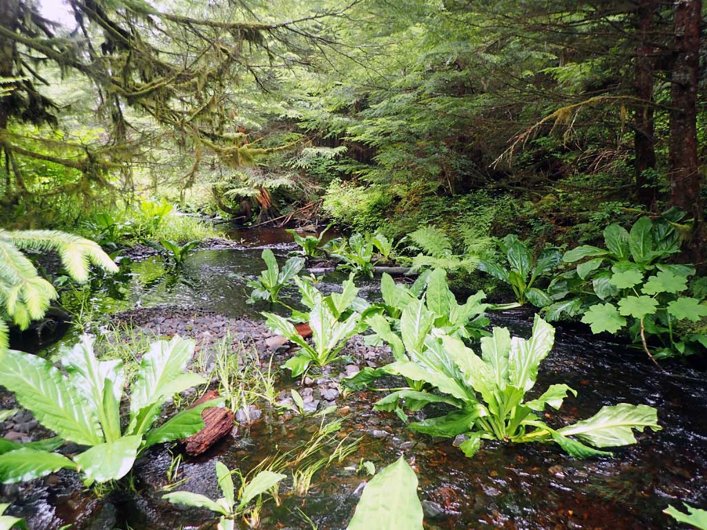
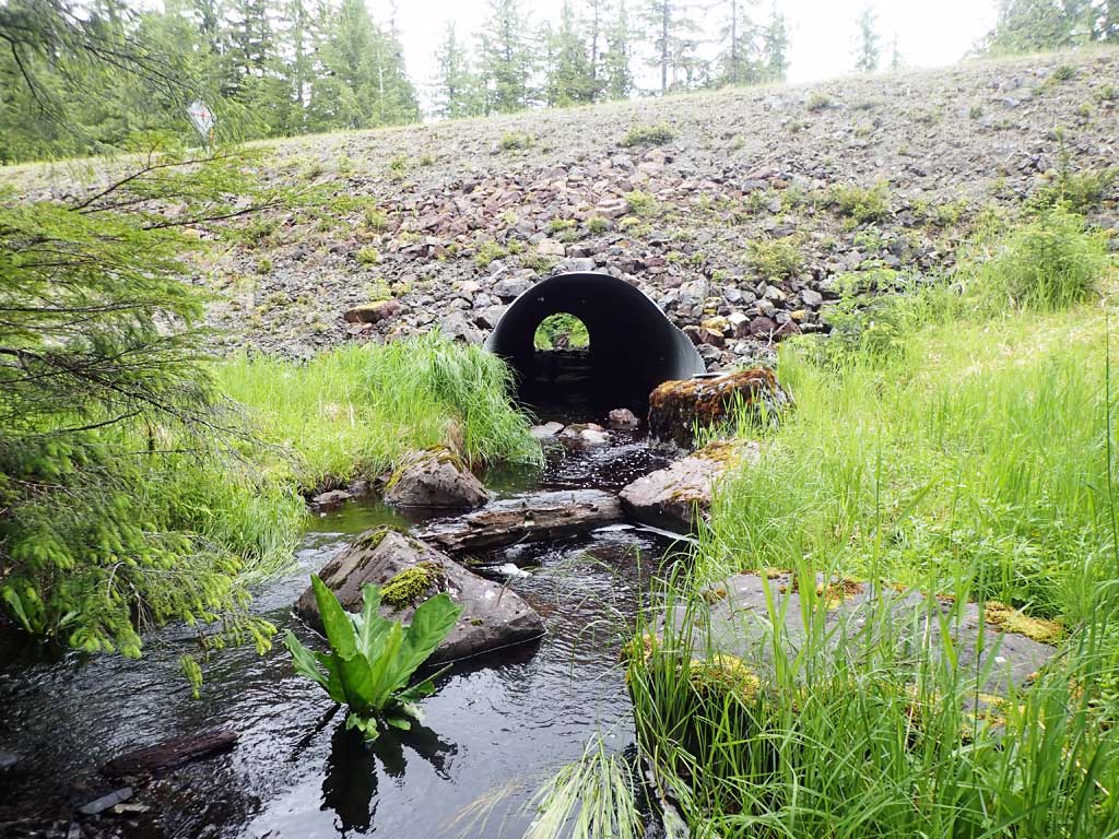
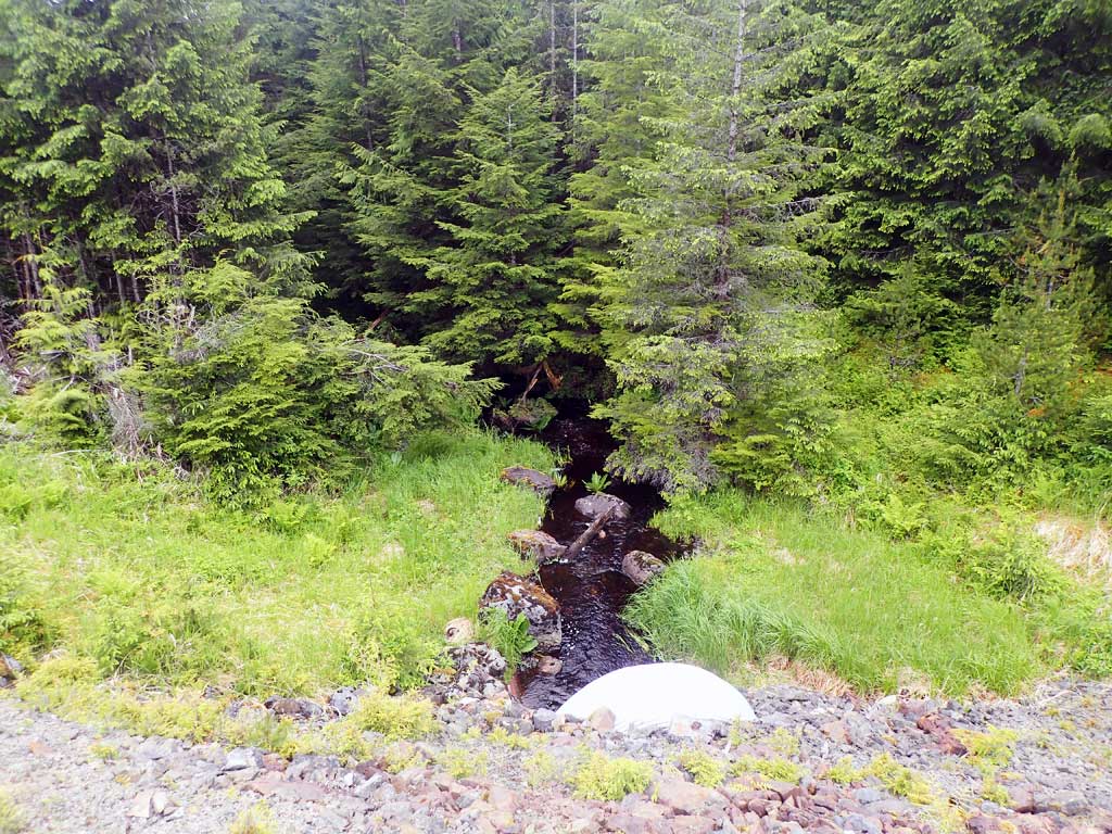
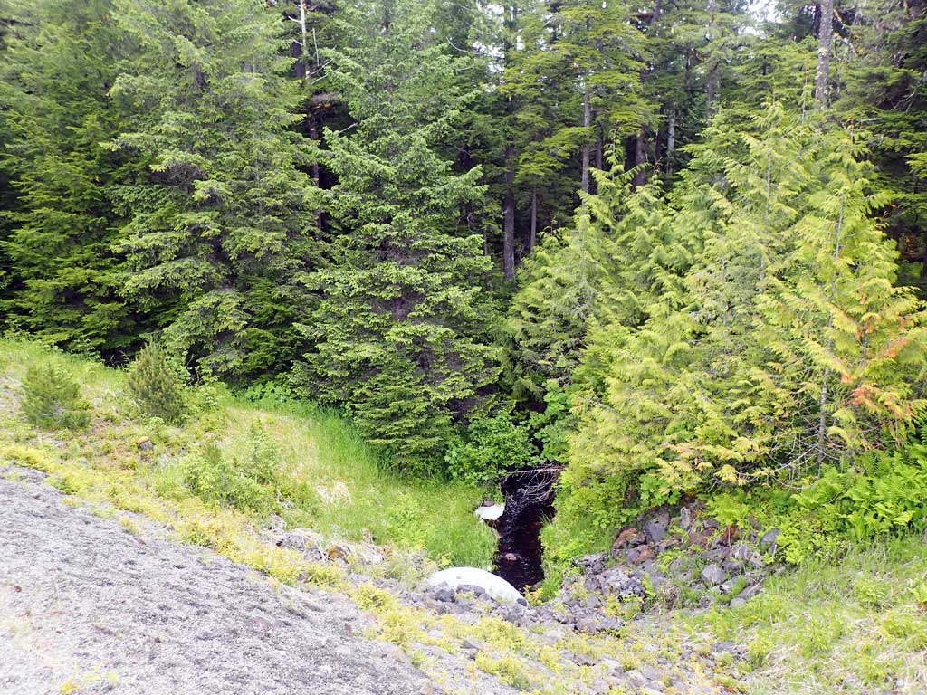
Comments: Large woody debris 50ft downstream, coho captured downstream, no fish upstream. Culvert looks close to being imbedded but does not have consistant substrate depth throughout barrel. Stream gradient taken over a short length due to dense foilage. Culvert does not appear to be a barrier at time of survey
Culvert Measurements
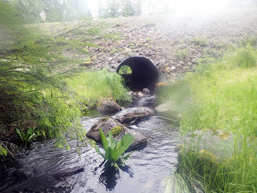
| ID: 1 | Structure Type: Circular pipe (Corrugated steel) | Fish Passage Rating: | |||||||||||||||||||||||||||||||||||||||||
|
|
|
|||||||||||||||||||||||||||||||||||||||||
Comments: Reach of 180ft should have been surveyed for stream gradient but only 45ft available. Stream gradient could be lower. Top of culvert length 105.8'. Culvert does not appear to have consistant bedload coverage thoughout barrel. |
|||||||||||||||||||||||||||||||||||||||||||
Culvert Observations:
|
|||||||||||||||||||||||||||||||||||||||||||
Stream Measurements
|
|
| Stream Width Type | Distance From Crossing (ft) |
Stream Width (ft) |
|---|---|---|
| Upstream ordinary high water | 40.0 | 8.10 |
| Upstream ordinary high water | 100.0 | 8.00 |
| Upstream ordinary high water | 150.0 | 12.00 |
| Upstream ordinary high water | 200.0 | 8.60 |
Elevations
| Locator ID | Culvert Number |
River Distance (ft)1 |
Distance From Crossing (ft)2 |
Relative Elevation (ft) |
|---|---|---|---|---|
| Road Elev | 117.67 | |||
| D/S Grade Ctrl (Thalweg) (gravel bar) | 0.00 | 91.66 | ||
| D/S Water Surface Elev | 0.00 | 92.24 | ||
| D/S Water Surface Elev | 13.00 | 92.31 | ||
| D/S Tailcrest or 1st Thalweg (boulders) | 13.00 | 91.64 | ||
| Max Pool Depth | 24.00 | 90.39 | ||
| D/S Water Surface Elev | 24.00 | 92.09 | ||
| Outlet Invert (on substrate estimated end of mitre) | 27.00 | 91.99 | ||
| D/S Water Surface Elev | 27.00 | 92.49 | ||
| Outlet Culvert Top | 39.00 | 100.00 | ||
| Inlet Culvert Top | 144.80 | 100.77 | ||
| Inlet Culvert Invert (on substrate, first resting) | 155.80 | 93.35 | ||
| U/S Water Surface Elev | 155.80 | 93.95 | ||
| U/S Headwater (rocks) | 174.80 | 94.27 | ||
| U/S Water Surface Elev | 174.80 | 94.58 | ||
| U/S Water Surface Elev | 200.80 | 95.34 | ||
| U/S Grade Ctrl (Thalweg) (brushy beyond this point) | 200.80 | 95.36 |
Notes:
- River distance is measured continuously throughout the survey reach along the thalweg of the stream.
- Measured from each end of the crossing along the thalweg of the stream.
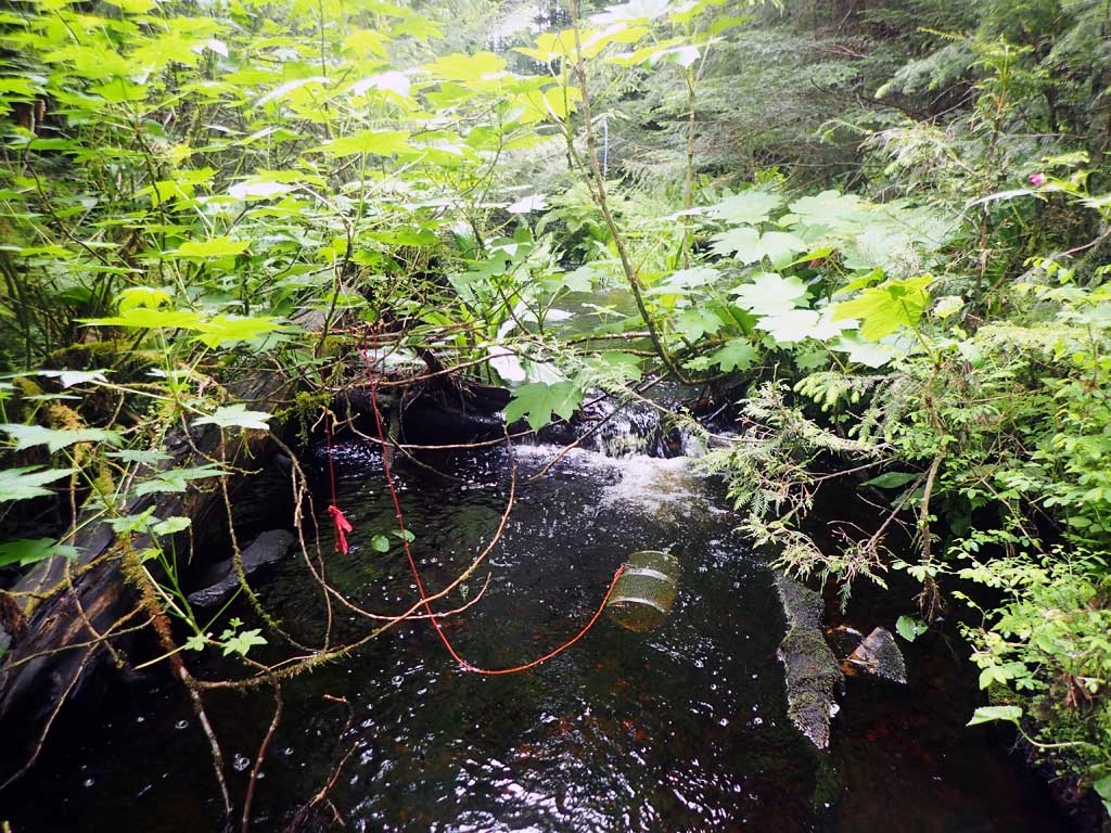
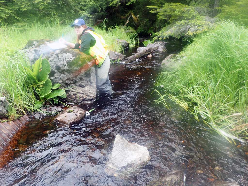
Fish Sampling Efforts
| Gear Type: Minnow Trap (A) | Trap Duration(h): 2.6 | |
| Comments: no fish | ||
| Gear Type: Minnow Trap (B) | Trap Duration(h): 1.6 | |
| Comments: 1 coho captured, not measrued, escaped, could be coho | ||
Fish Observations
No fish observations occurred during this survey.
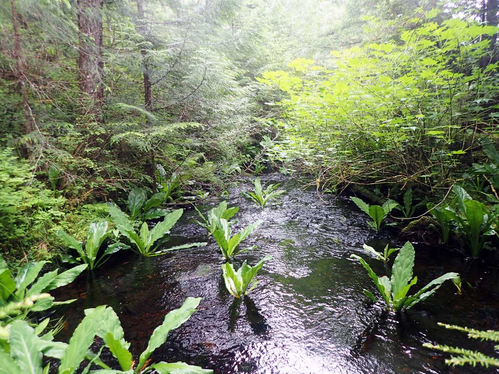
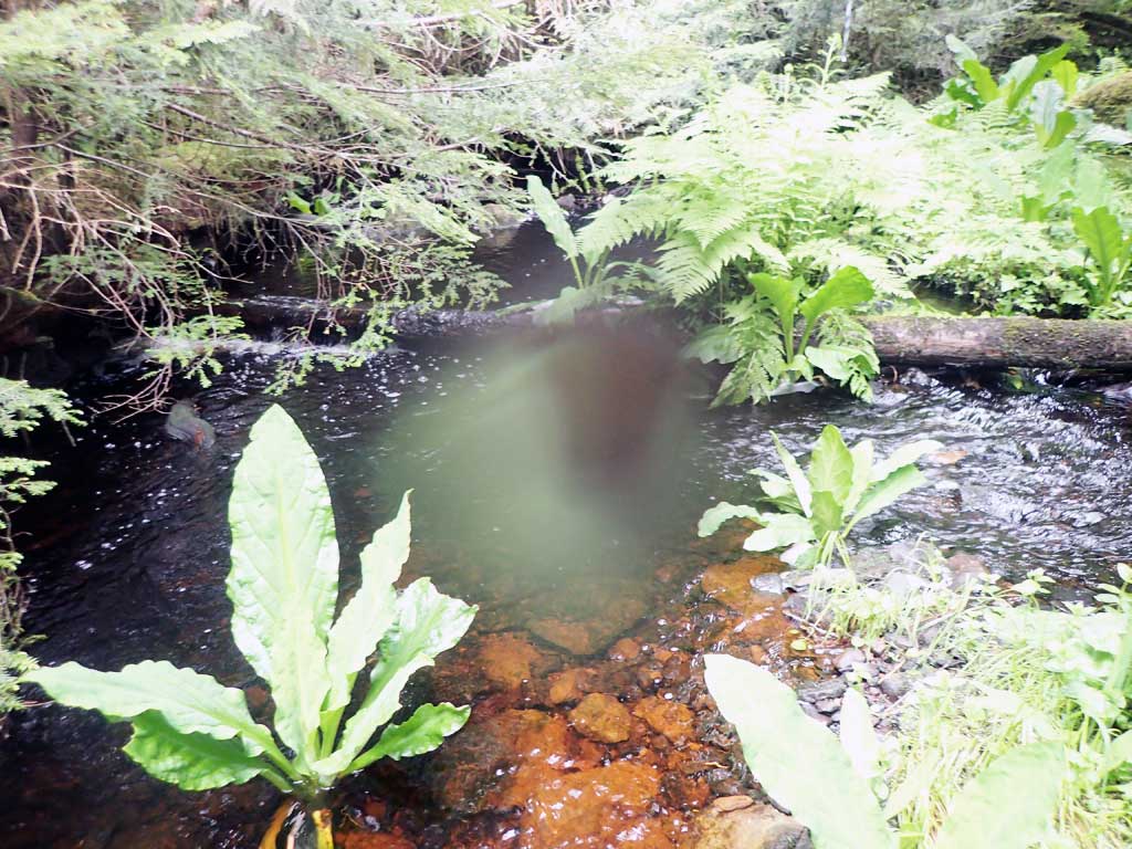
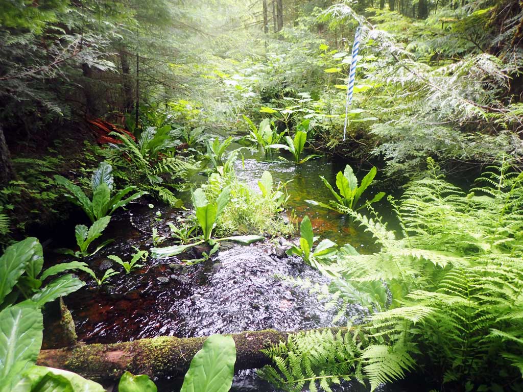
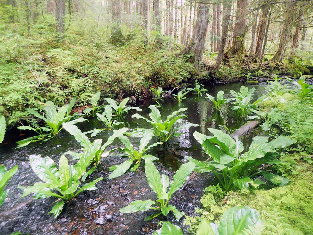
Photos
Questions or comments about this report can be directed to dfg.dsf.webmaster@alaska.gov