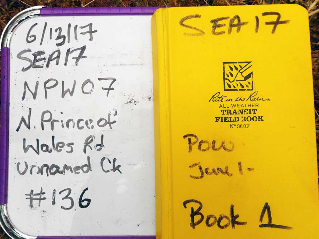
Fish Passage Site 10103573
Coordinates (dec. deg.): 55.82101°, -133.03964°
Legal Description: C070S081E08
Region: Southeast
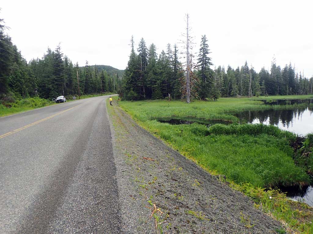
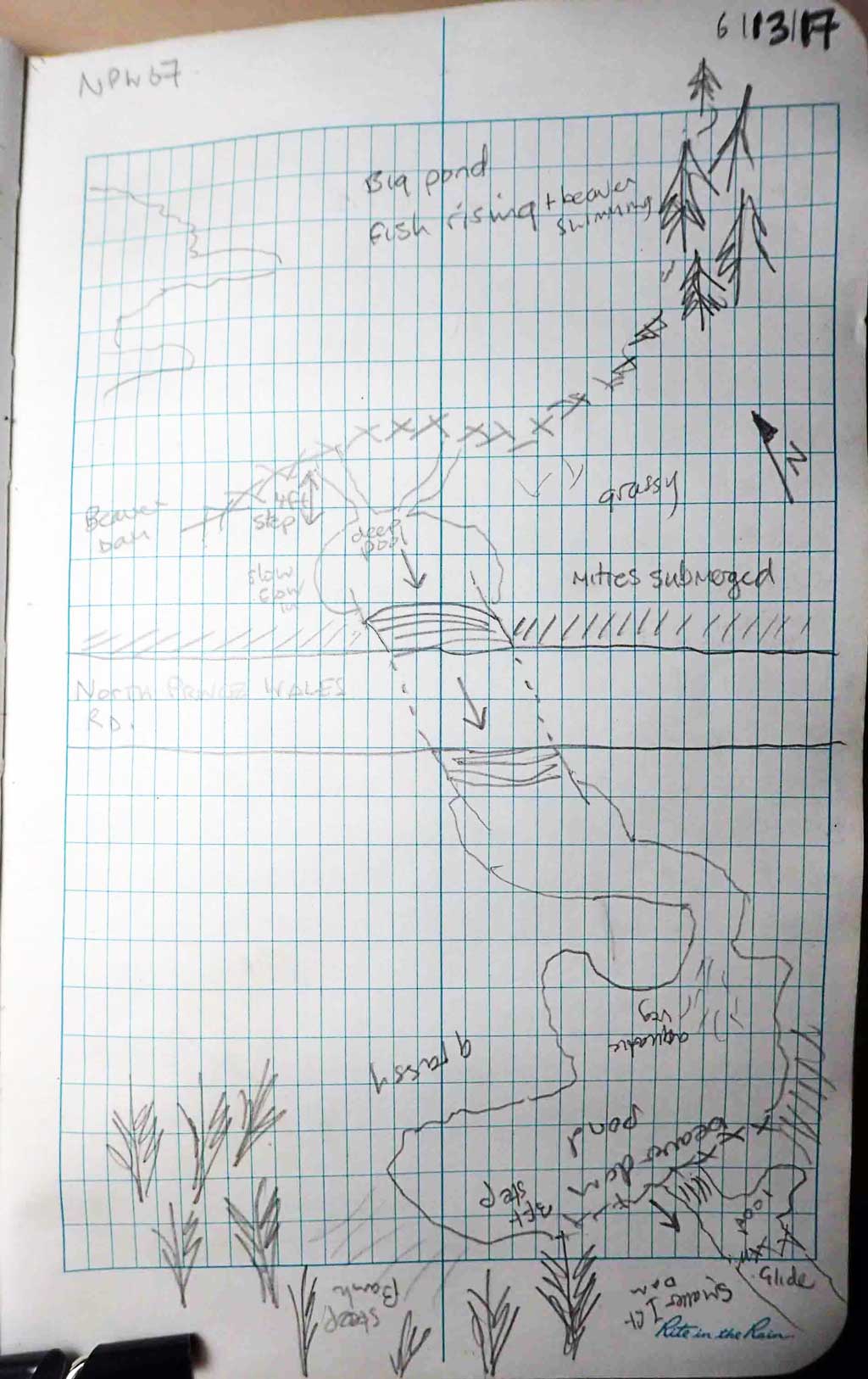
Road Name: North Prince of Wales Road
Datum: NAD83
Quad Name / ITM: Craig D-4
AWC Stream #:
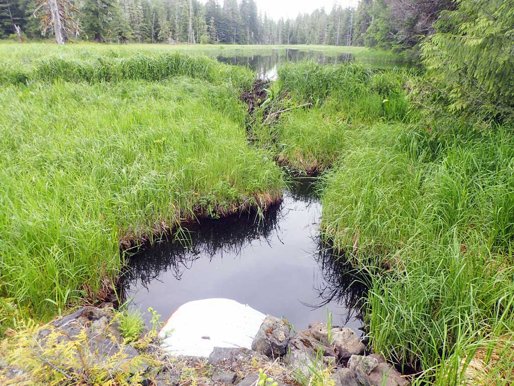
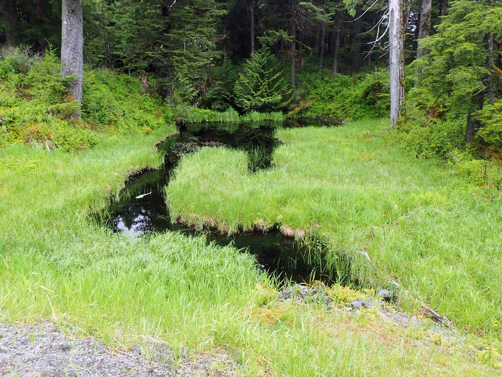
Stream Name: Unnamed
Elevation:
Site Comments: None
Survey SEA17-NPW07
Observers: Elizabeth Flory, Kelly Petty
Overall Fish Passage Rating:
Tidal: No
Backwatered: Yes
Step Pools: No
Construction Year:
Site Observations:
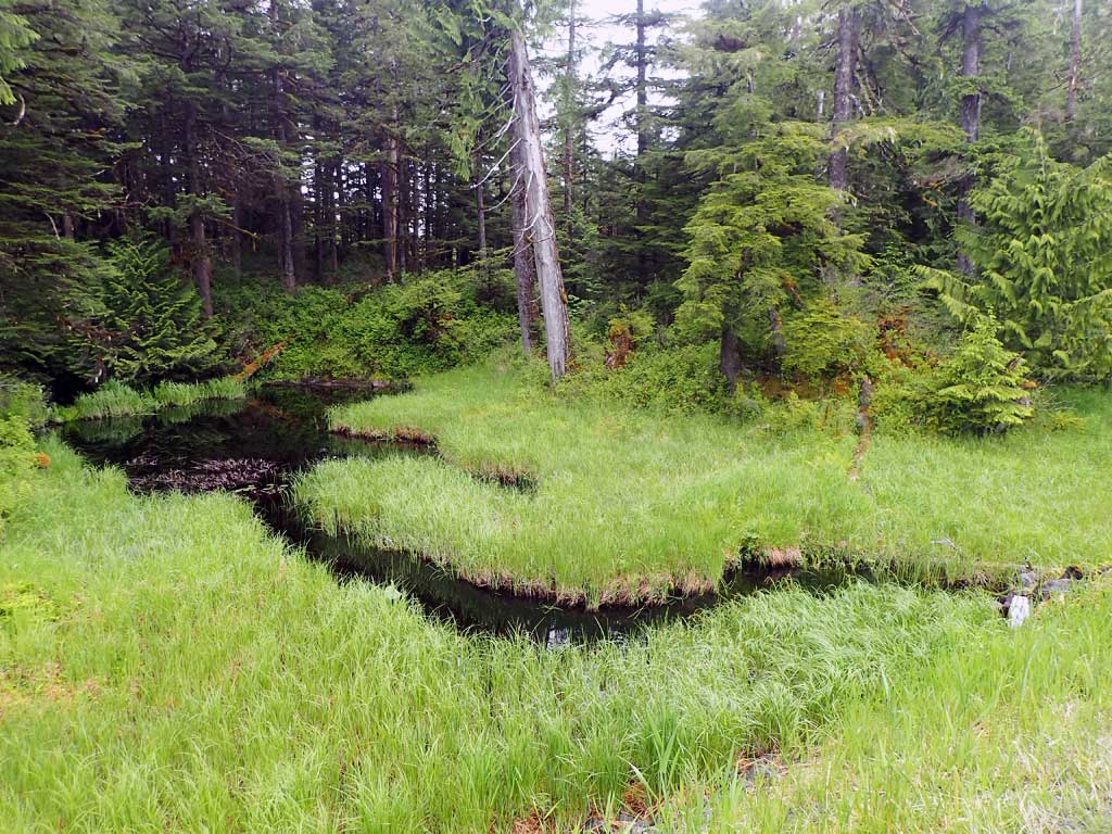
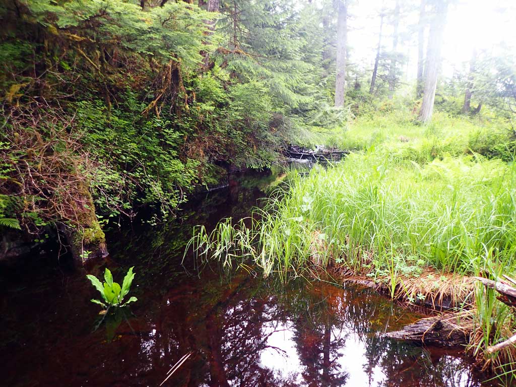
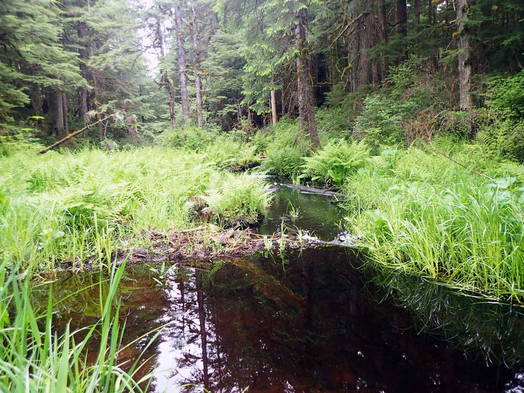
- Beaver Activity
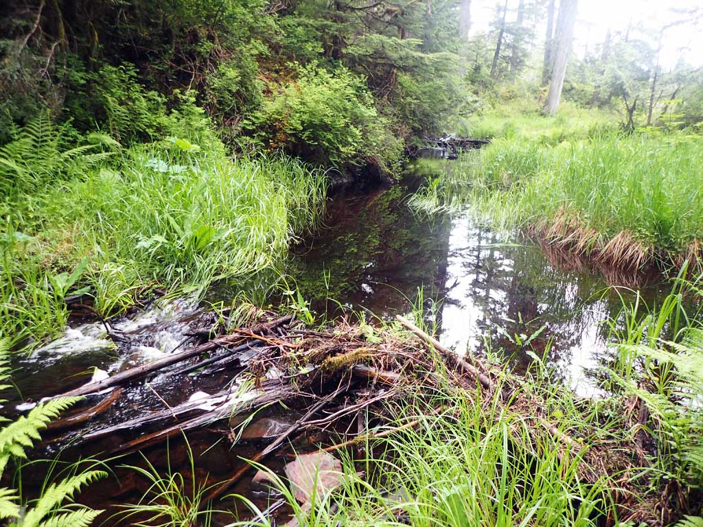
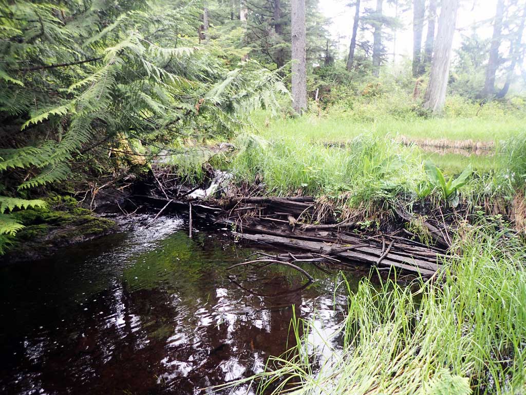
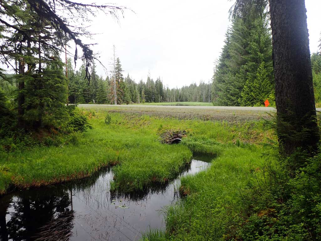
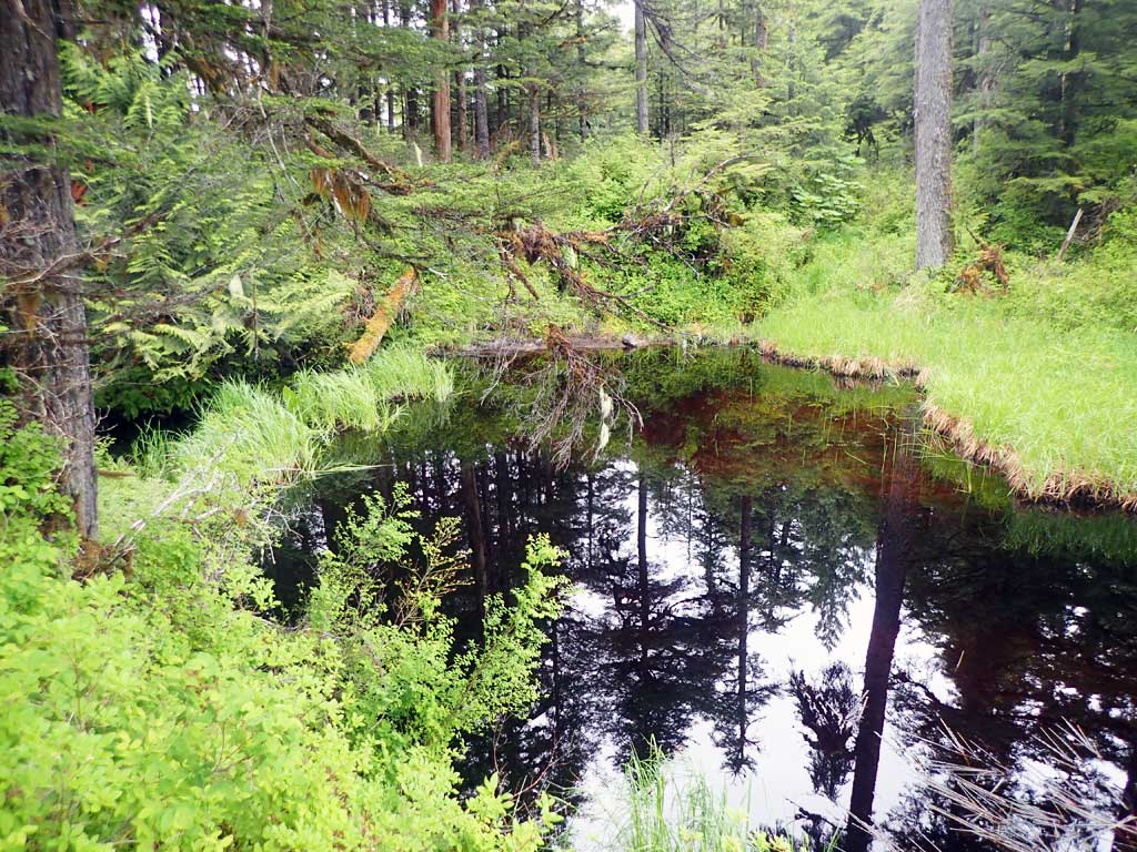
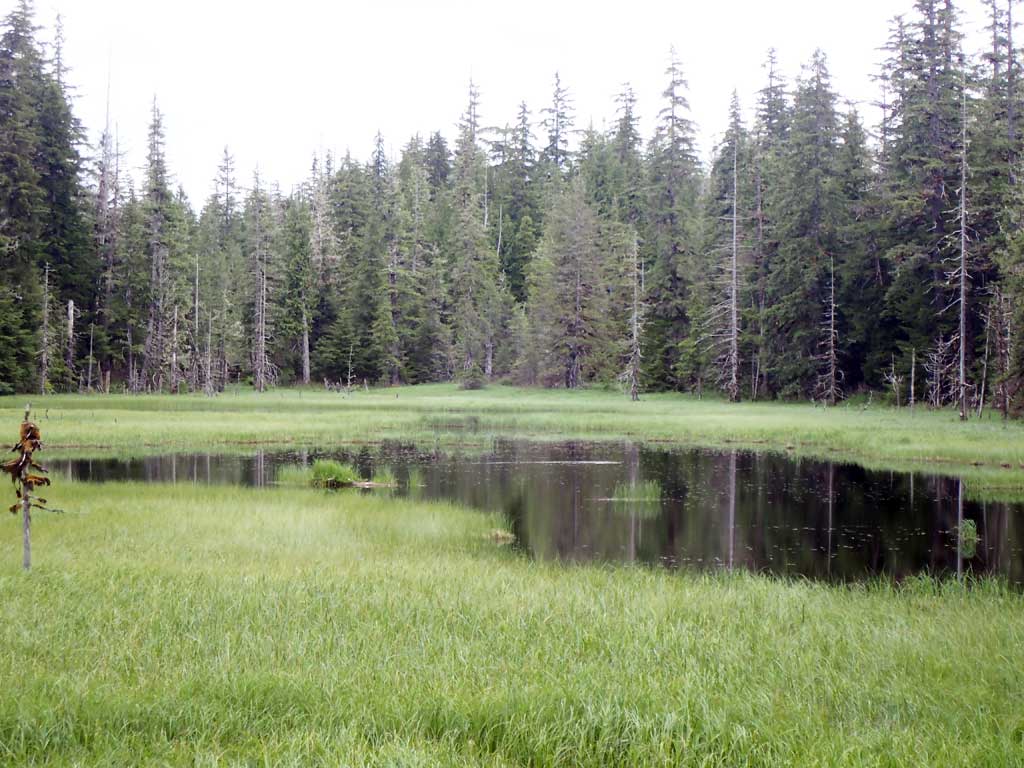
Comments: Beaver ponds upstream and downstream. 4 coho captured upstream.
Culvert Measurements
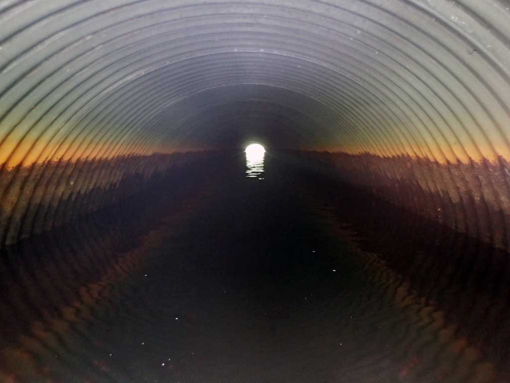
| ID: 1 | Structure Type: Circular pipe (Corrugated steel) | Fish Passage Rating: | |||||||||||||||||||||||||||||||||||||||||
|
|
|
|||||||||||||||||||||||||||||||||||||||||
Comments: Downstream beaver dam currently backwatering culvert. |
|||||||||||||||||||||||||||||||||||||||||||
Culvert Observations:
|
|||||||||||||||||||||||||||||||||||||||||||
Stream Measurements
|
|
No stream width data available.
Elevations
| Locator ID | Culvert Number |
River Distance (ft)1 |
Distance From Crossing (ft)2 |
Relative Elevation (ft) |
|---|---|---|---|---|
| Road Elev | 110.32 | |||
| D/S Grade Ctrl (Thalweg) (below beaver dam) | 0.00 | 95.22 | ||
| D/S Water Surface Elev | 0.00 | 96.47 | ||
| D/S Tailcrest or 1st Thalweg (top of beaver dam) | 2.00 | 97.31 | ||
| D/S Water Surface Elev | 2.00 | 98.12 | ||
| D/S Water Surface Elev | 107.00 | 98.11 | ||
| Outlet Invert (on substrate, estimated end of mitre) | 107.00 | 95.40 | ||
| Outlet Culvert Top | 113.00 | 100.26 | ||
| Inlet Culvert Top | 209.70 | 100.00 | ||
| U/S Water Surface Elev | 215.70 | 98.22 | ||
| Inlet Culvert Invert (on substrate, end of mitre) | 215.70 | 95.13 | ||
| U/S Water Surface Elev | 233.70 | 98.07 | ||
| U/S Grade Ctrl (Thalweg) (base of beaver dam) | 233.70 | 96.91 | ||
| U/S Grade Ctrl (Thalweg) (top of beaver dam) | 247.70 | 102.42 | ||
| U/S Water Surface Elev | 247.70 | 103.16 |
Notes:
- River distance is measured continuously throughout the survey reach along the thalweg of the stream.
- Measured from each end of the crossing along the thalweg of the stream.
Fish Sampling Efforts
| Gear Type: Minnow Trap (A) | Trap Duration(h): 1.75 | |
| Comments: 4 coho, 1 rainbow 10ft upstream | ||
| Gear Type: Minnow Trap (B) | Trap Duration(h): 1.75 | |
| Comments: Stickleback not measured | ||
Fish Observations
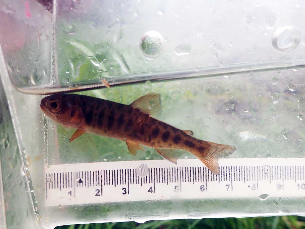
| Species: juvenile coho salmon | Life History: | ||
| Total Fish Observed: 4 | Fish Measured: 4 | Fork Lengths (mm) Min: 69 Max: 81 Mean: 75 | |
| Collected/Observed by Gear Type: Upstream Minnow Trap (4) | |||
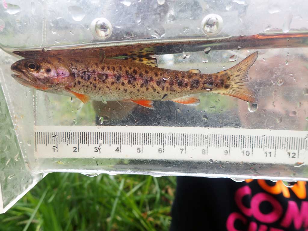
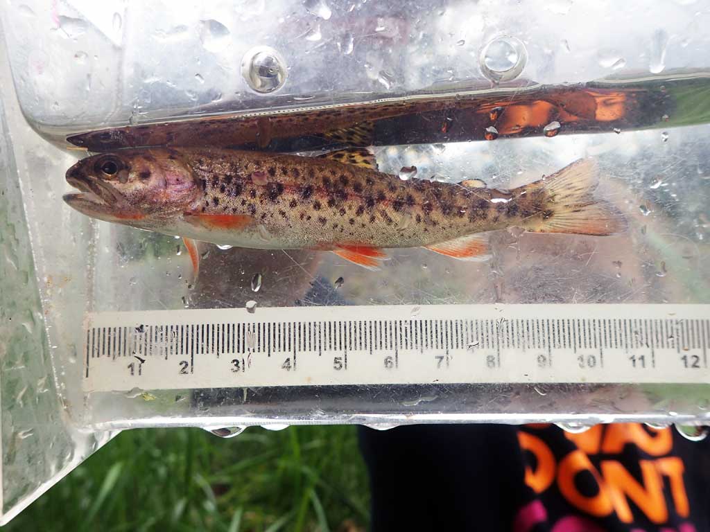
| Species: juvenile rainbow trout | Life History: | ||
| Total Fish Observed: 1 | Fish Measured: 1 | Fork Lengths (mm) Min: 100 Max: 100 Mean: 100 | |
| Collected/Observed by Gear Type: Upstream Minnow Trap (1) | |||
| Species: threespine stickleback | Life History: Unknown | ||
| Total Fish Observed: 2 | Fish Measured: | Fork Lengths (mm) Min: Max: Mean: | |
| Collected/Observed by Gear Type: Downstream Minnow Trap (2) | |||
Photos


Questions or comments about this report can be directed to dfg.dsf.webmaster@alaska.gov