Fish Passage Site 10103572
Coordinates (dec. deg.): 55.82124°, -133.04002°
Legal Description: C070S081E08
Region: Southeast
Road Name: North Prince of Wales Road
Datum: NAD83
Quad Name / ITM: Craig D-4
AWC Stream #:
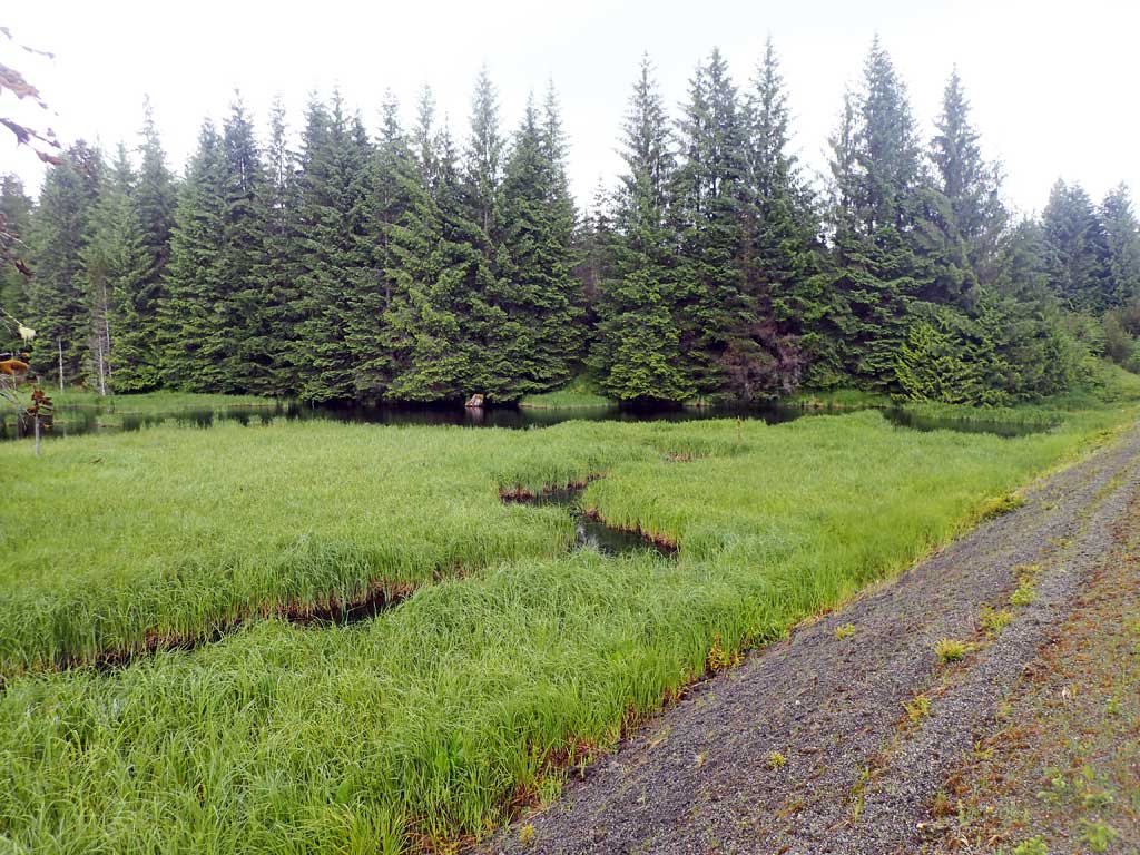
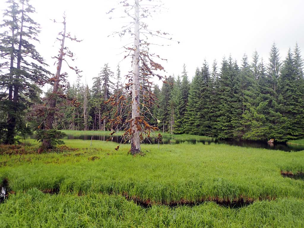
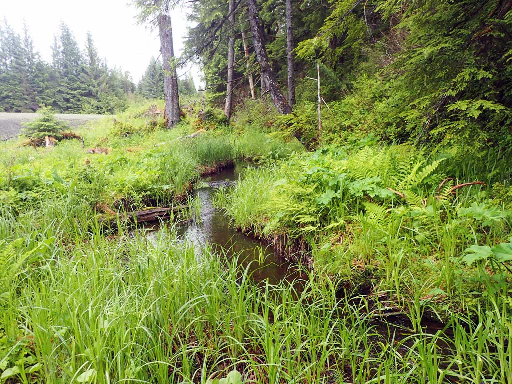
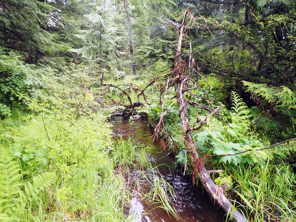
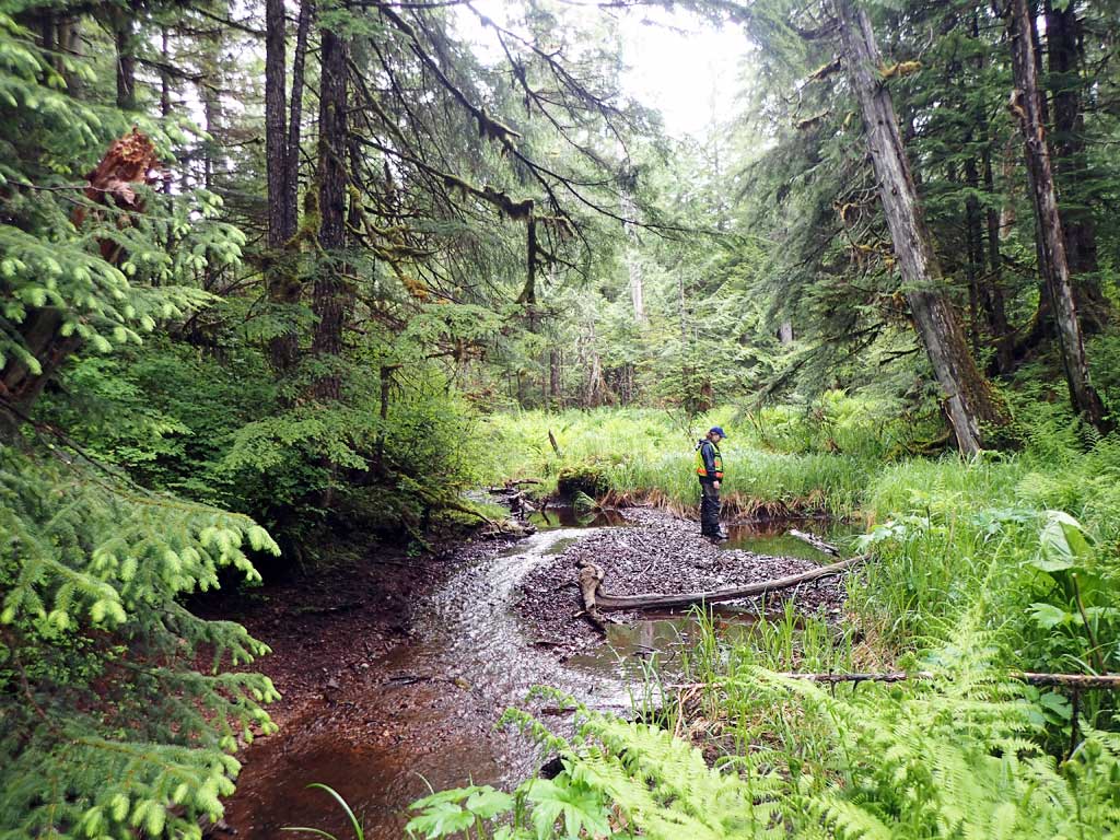
Stream Name: Unnamed
Elevation:
Site Comments: None
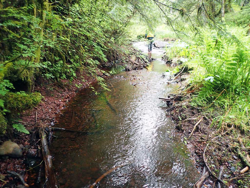
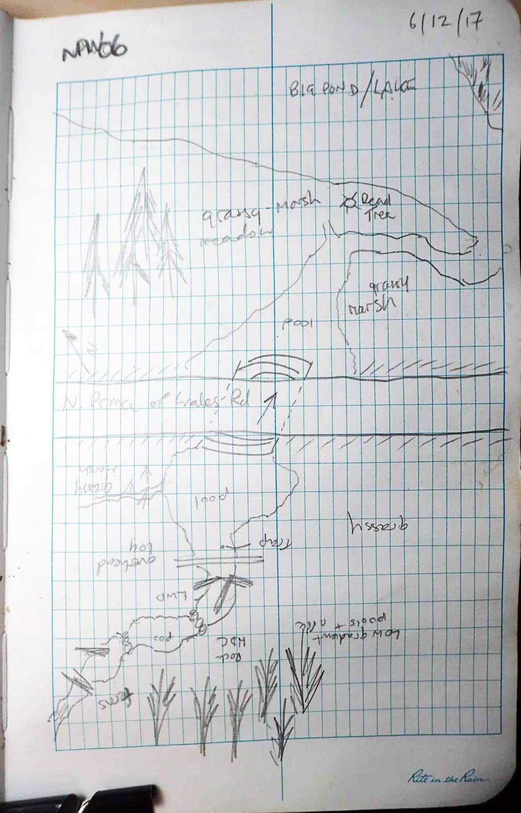
Survey SEA17-NPW06
Observers: Elizabeth Flory, Kelly Petty
Overall Fish Passage Rating:
Tidal: No
Backwatered: Yes
Step Pools: No
Construction Year:
Site Observations:
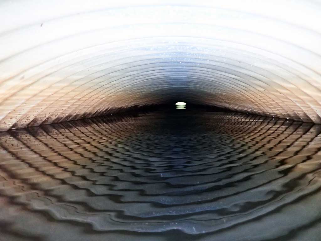
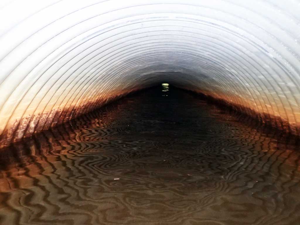
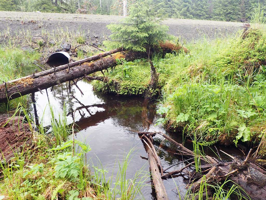
- Culvert gradient gray
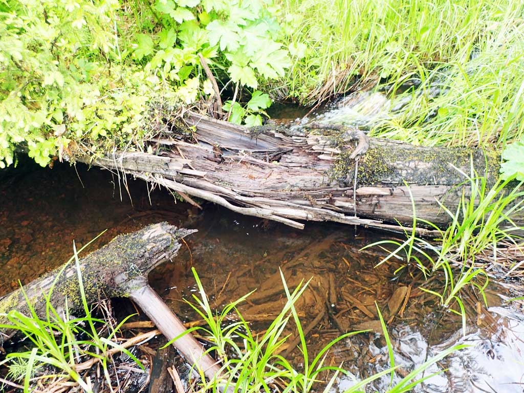
Comments: Coho upstream - new anadromous stream.
Culvert Measurements
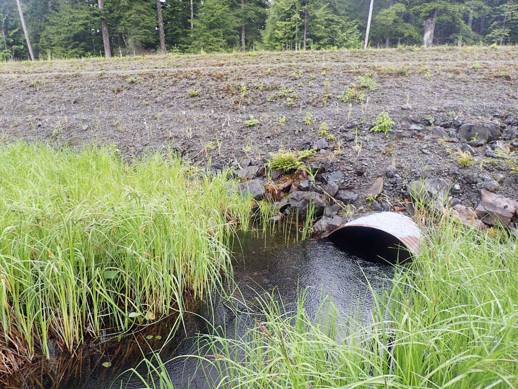
| ID: 1 | Structure Type: Circular pipe (Corrugated steel) | Fish Passage Rating: | |||||||||||||||||||||||||||||||||||||||||
|
|
|
|||||||||||||||||||||||||||||||||||||||||
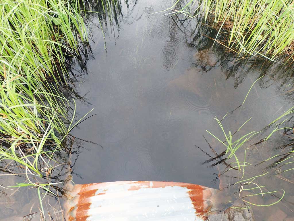
Comments: Length measured over road. Could not see through pipe due to low spot in middle. Using pipe tops gradient is 1.19. Through pipe gradient is 0.19. Top of culvert length 79'. |
|||||||||||||||||||||||||||||||||||||||||||
Culvert Observations:
|
|||||||||||||||||||||||||||||||||||||||||||
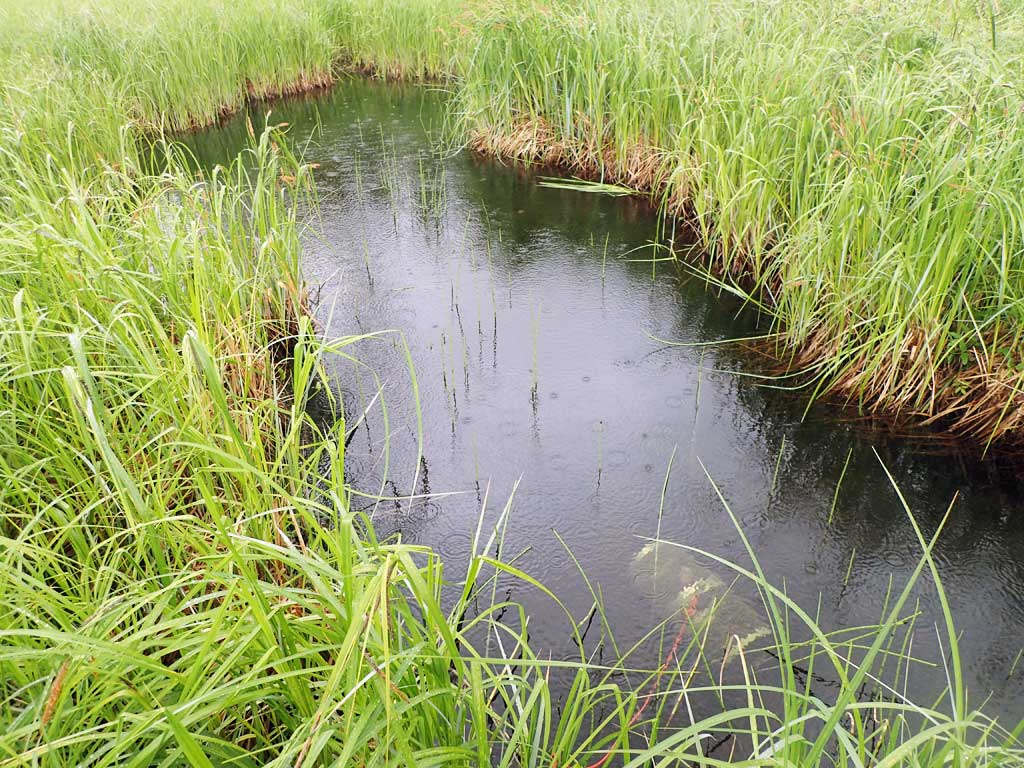
Stream Measurements
|
|
| Stream Width Type | Distance From Crossing (ft) |
Stream Width (ft) |
|---|---|---|
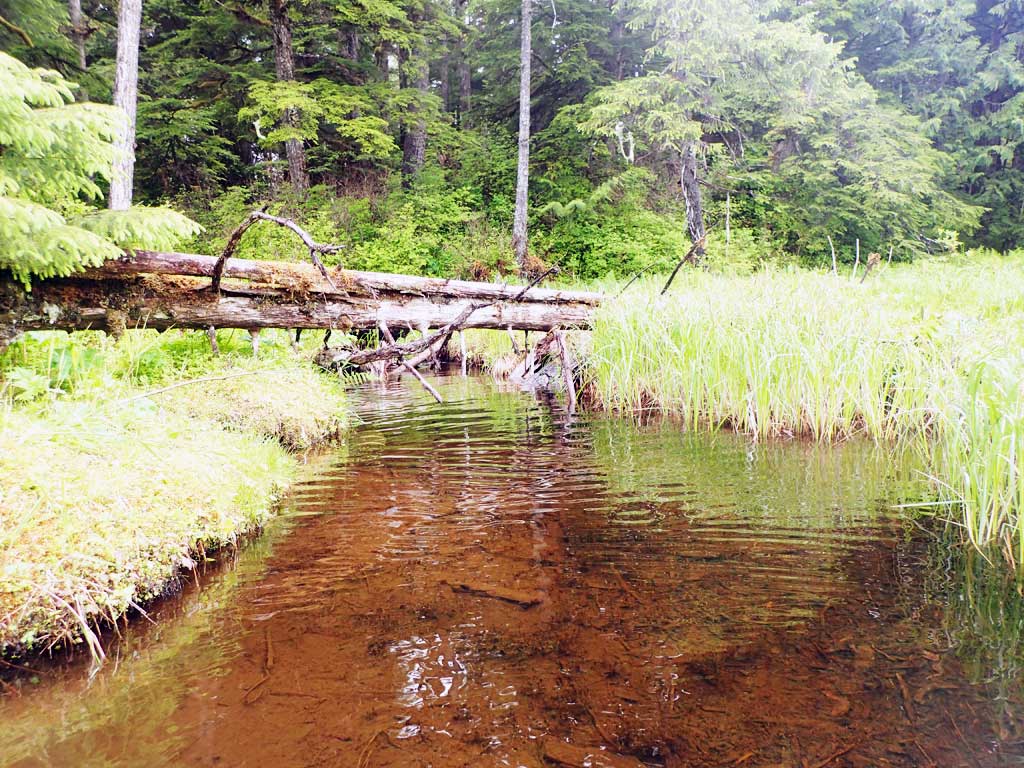
| Upstream ordinary high water | 25.0 | 3.00 |
| Upstream ordinary high water | 100.0 | 7.20 |
| Upstream ordinary high water | 150.0 | 3.00 |
Elevations
| Locator ID | Culvert Number |
River Distance (ft)1 |
Distance From Crossing (ft)2 |
Relative Elevation (ft) |
|---|---|---|---|---|
| Road Elev | 106.67 | |||
| D/S Grade Ctrl (Thalweg) | 0.00 | 96.33 | ||
| D/S Water Surface Elev | 0.00 | 98.23 | ||
| Outlet Invert (on substrate) | 39.00 | 95.28 | ||
| D/S Water Surface Elev | 39.00 | 98.17 | ||
| Outlet Culvert Top | 41.00 | 99.05 | ||
| Inlet Culvert Top | 120.00 | 99.99 | ||
| U/S Water Surface Elev | 122.00 | 98.36 | ||
| Inlet Culvert Invert (on substrate) | 122.00 | 95.97 | ||
| U/S Grade Ctrl (Thalweg) | 154.00 | 97.97 | ||
| U/S Water Surface Elev | 154.00 | 98.38 | ||
| U/S Grade Ctrl (Thalweg) | 237.00 | 99.25 | ||
| U/S Water Surface Elev | 237.00 | 99.54 |
Notes:
- River distance is measured continuously throughout the survey reach along the thalweg of the stream.
- Measured from each end of the crossing along the thalweg of the stream.
Fish Sampling Efforts
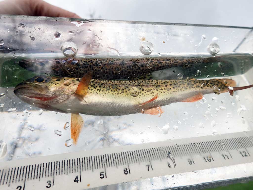
| Gear Type: Minnow Trap (A) | Trap Duration(h): 1.2 | |
| Comments: 3 coho | ||
| Gear Type: Minnow Trap (B) | Trap Duration(h): 1.2 | |
| Comments: cutthroat | ||
Fish Observations
| Species: juvenile coho salmon | Life History: | ||
| Total Fish Observed: 3 | Fish Measured: 3 | Fork Lengths (mm) Min: 47 Max: 72 Mean: 63 | |
| Collected/Observed by Gear Type: Upstream Minnow Trap (3) | |||
| Species: juvenile cutthroat trout | Life History: | ||
| Total Fish Observed: 1 | Fish Measured: 1 | Fork Lengths (mm) Min: 120 Max: 120 Mean: 120 | |
| Collected/Observed by Gear Type: Downstream Minnow Trap (1) | |||
Photos


Questions or comments about this report can be directed to dfg.dsf.webmaster@alaska.gov