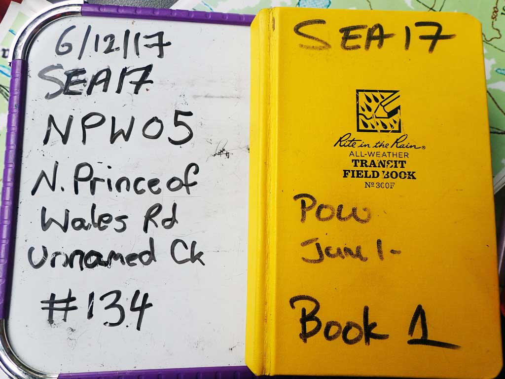
Fish Passage Site 10103571
Coordinates (dec. deg.): 55.82262°, -133.04231°
Legal Description: C070S081E06
Region: Southeast
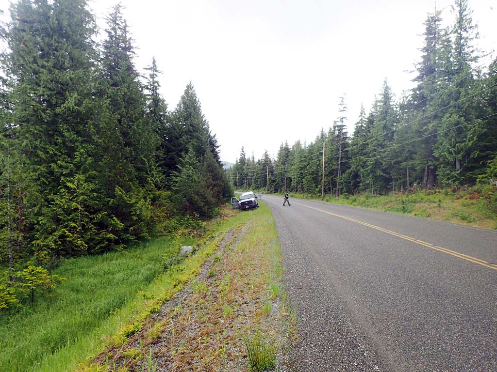
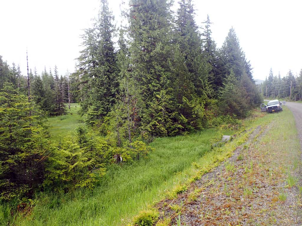
Road Name: North Prince of Wales Road
Datum: NAD83
Quad Name / ITM: Craig D-4
AWC Stream #:
Stream Name: Unnamed
Elevation:
Site Comments: None
Survey SEA17-NPW05
Observers: Elizabeth Flory, Kelly Petty
Overall Fish Passage Rating:
Tidal: No
Backwatered: No
Step Pools: No
Construction Year:
Site Observations:
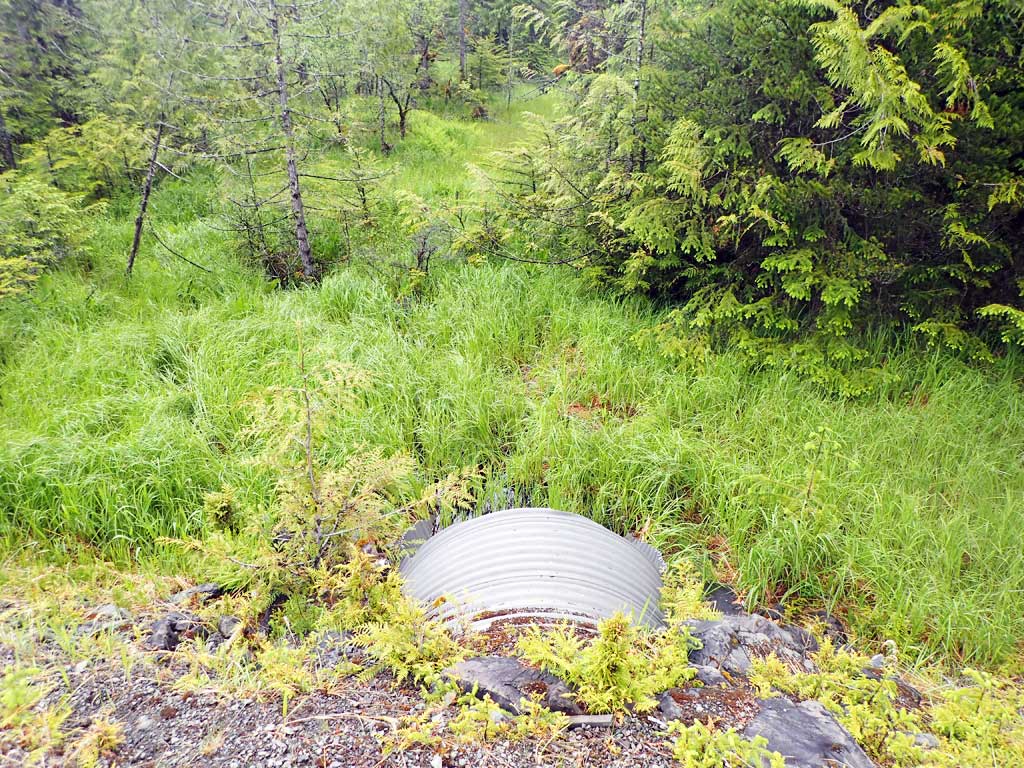
- Culvert gradient gray
- Beaver Activity
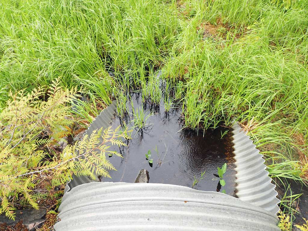
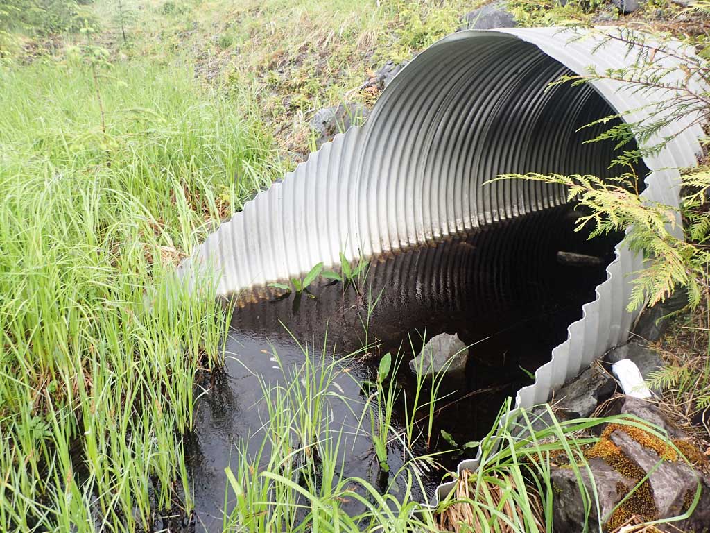
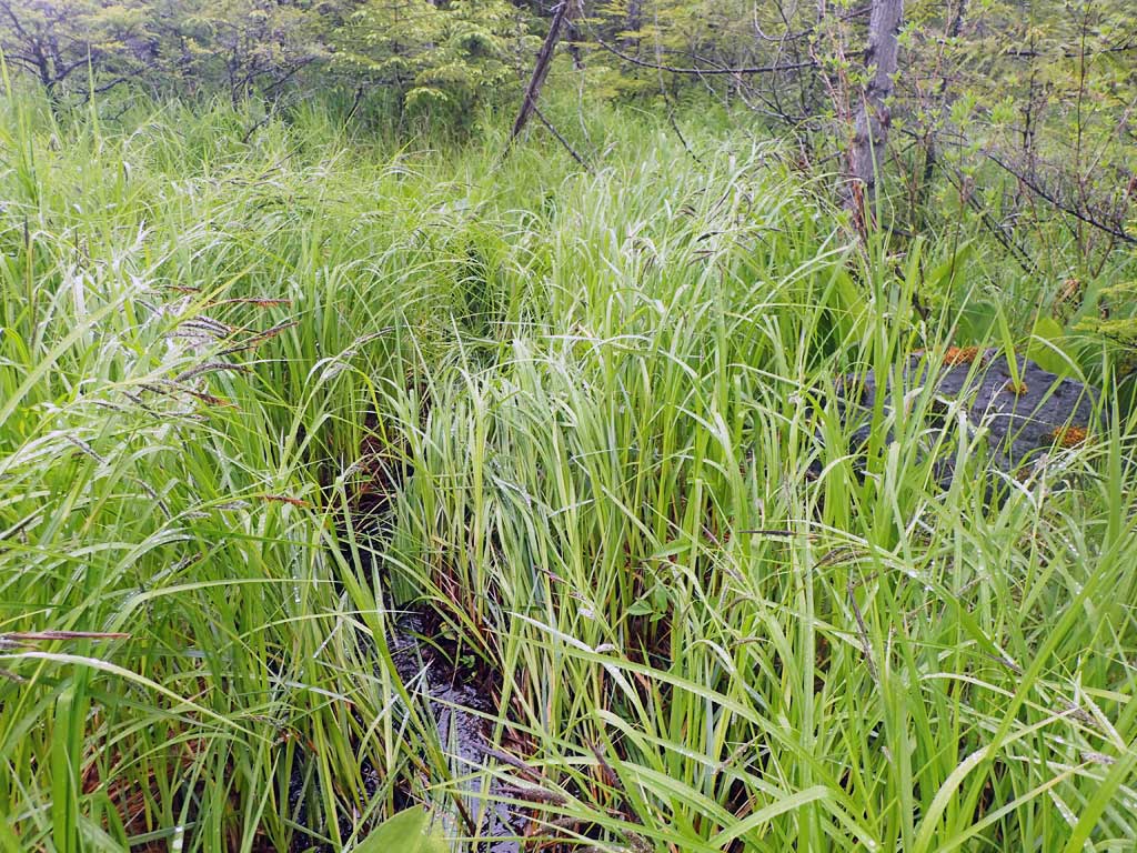
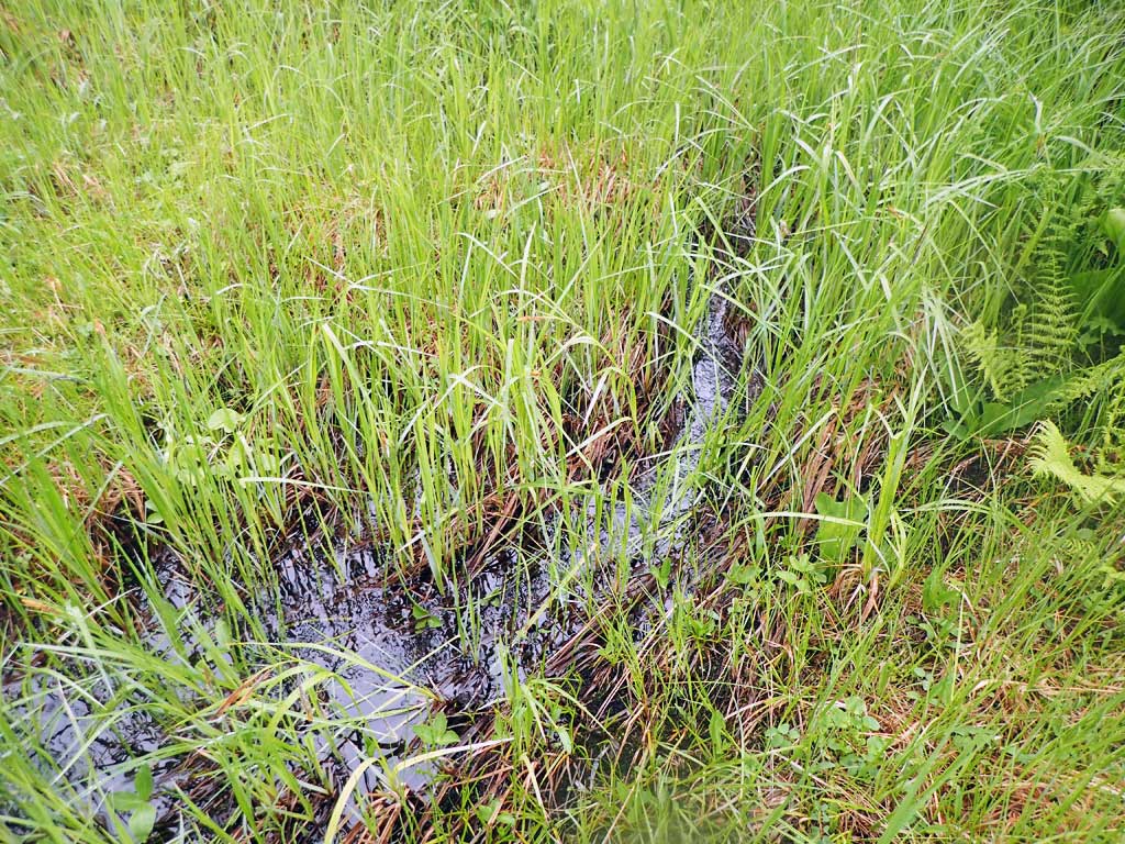
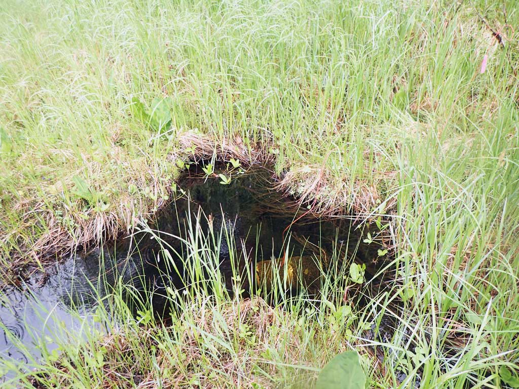
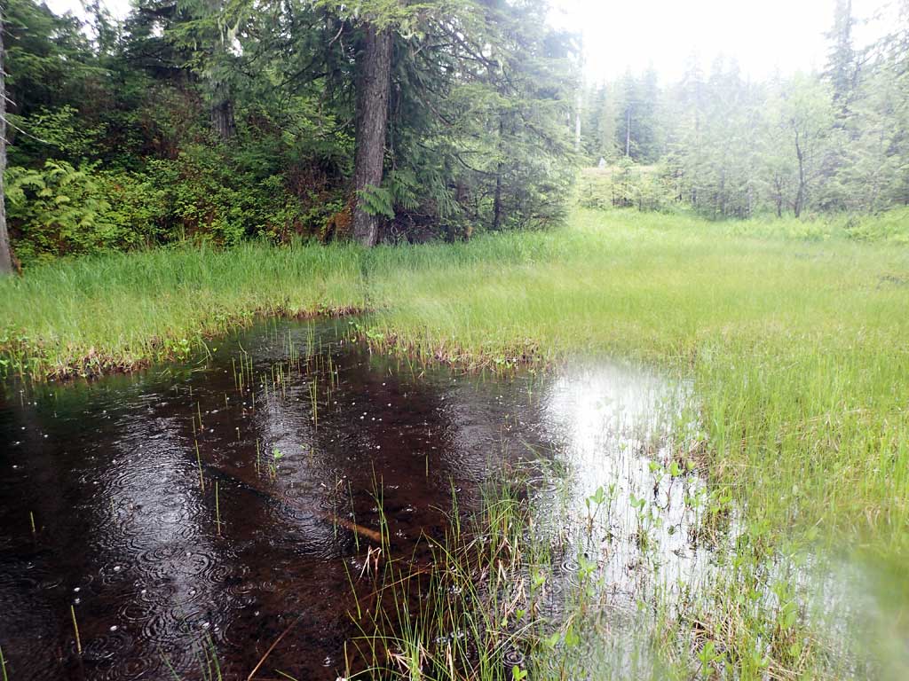
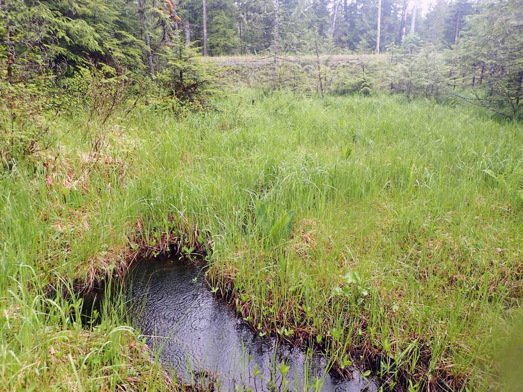
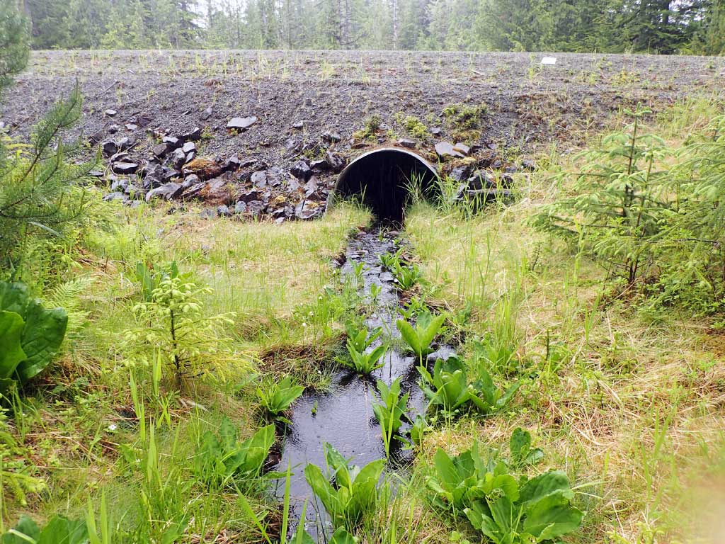
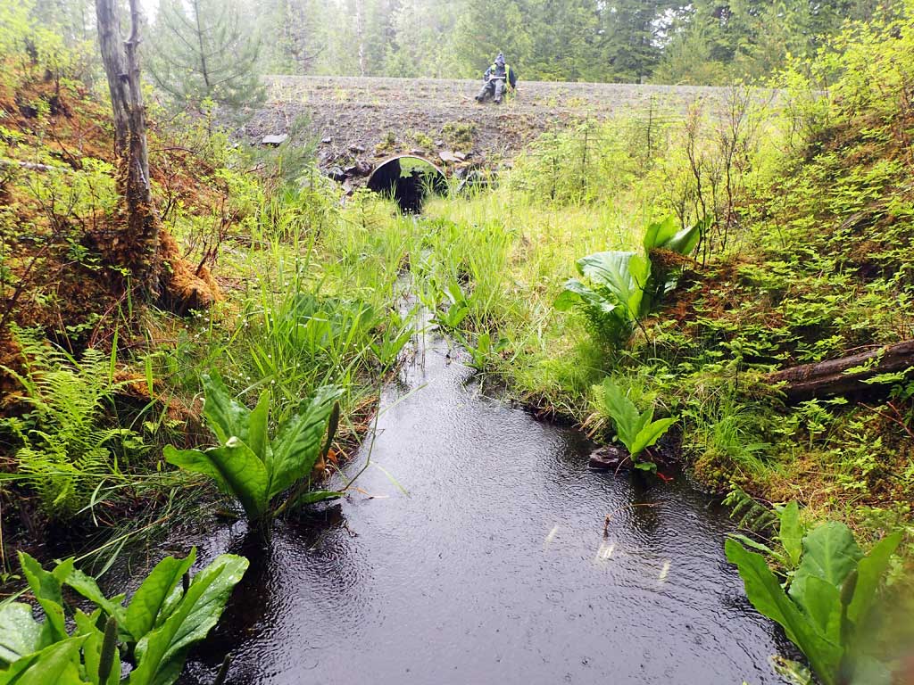
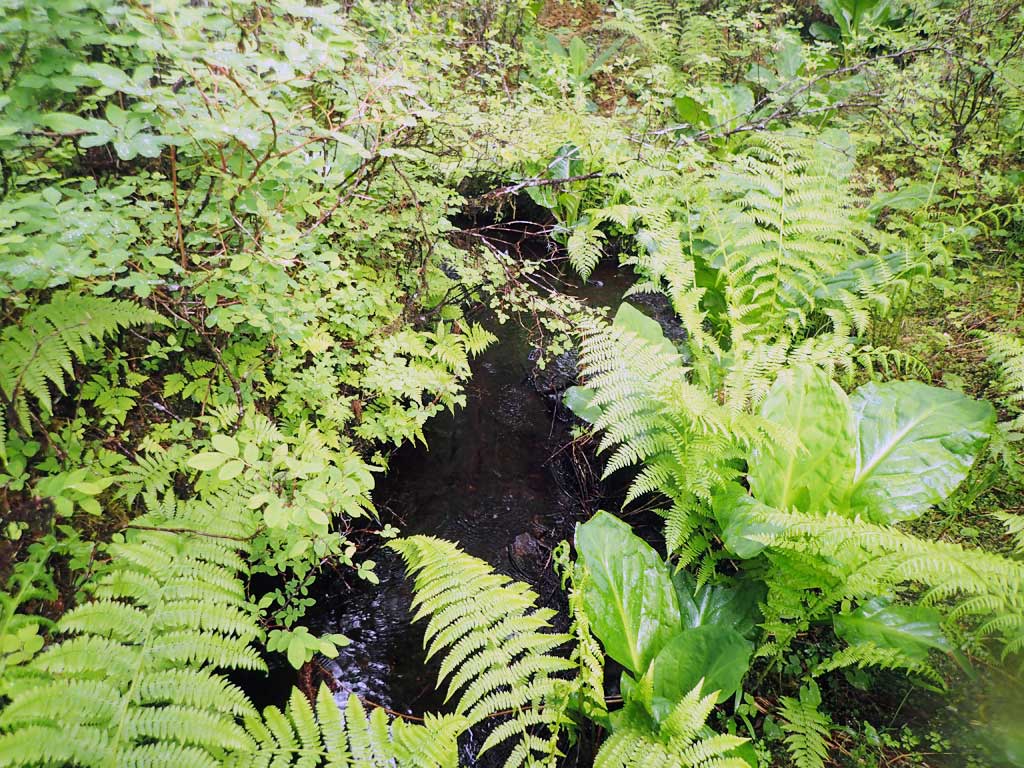
Comments: Upstream has lower gradient than pipe. Beaver dam downstream forms 4ft high step. Looks backwatered but is not.
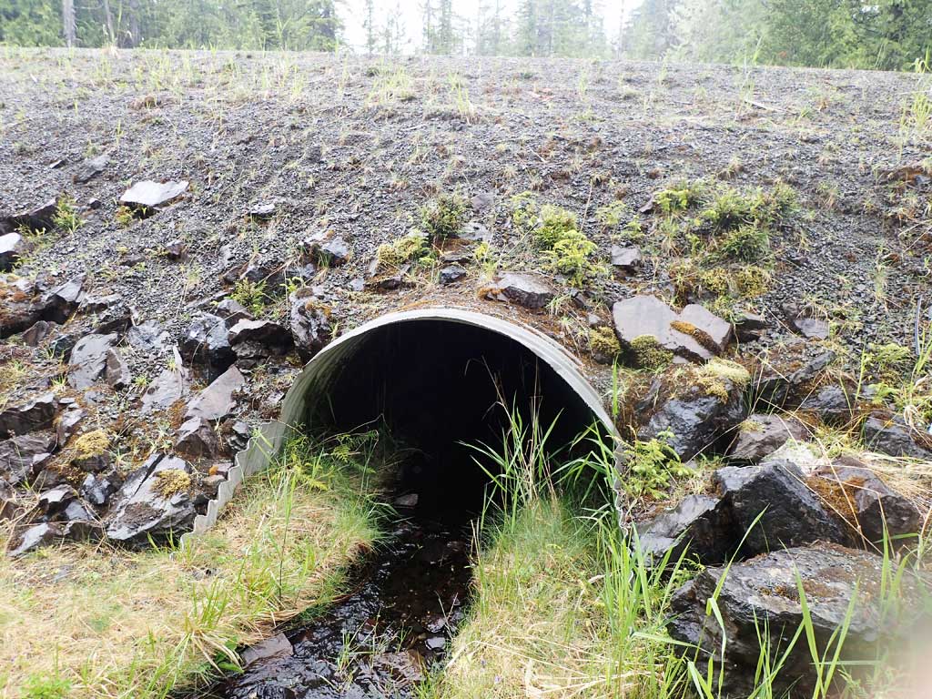
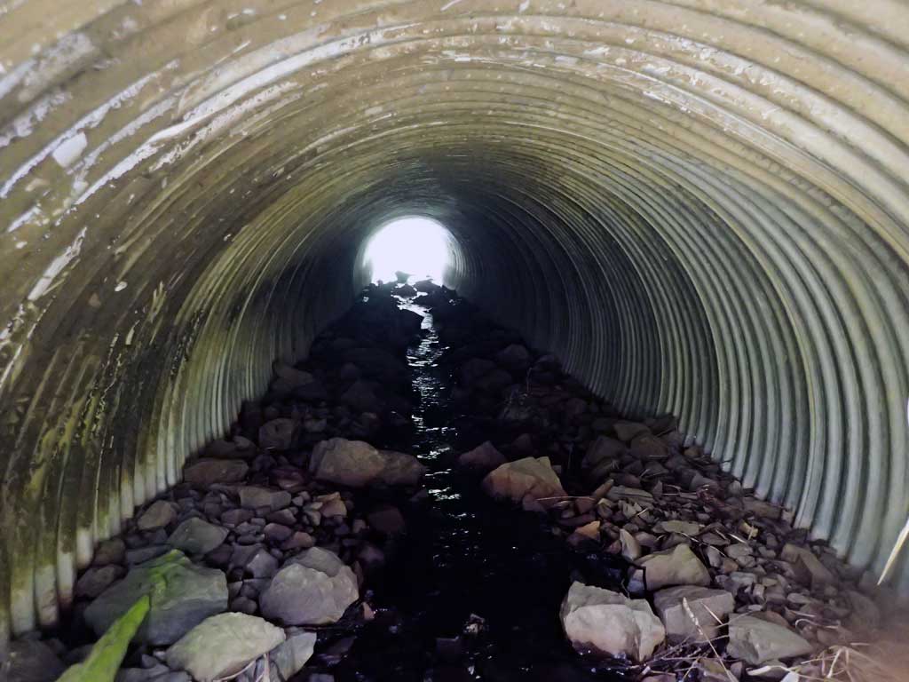
Culvert Measurements
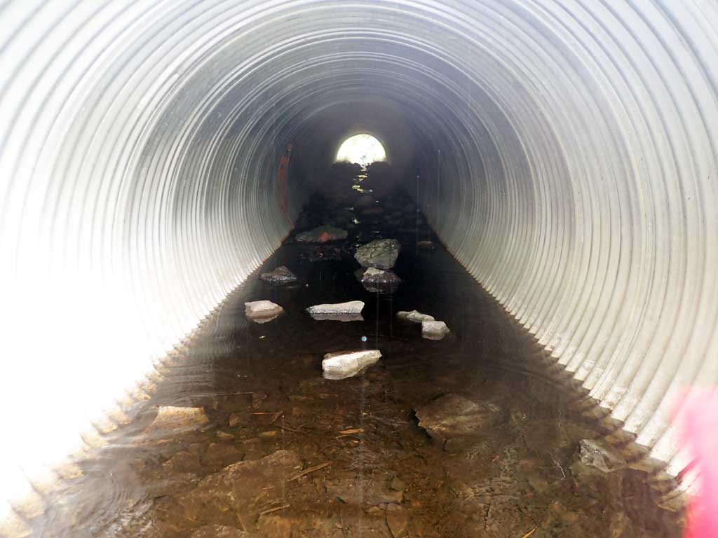
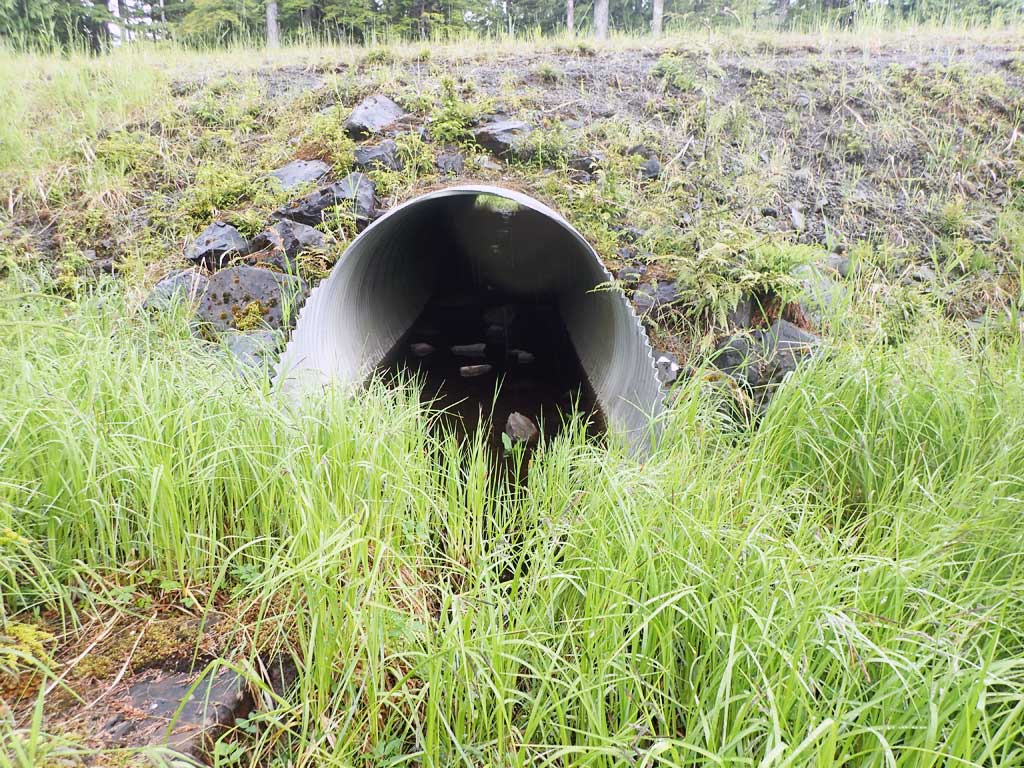
| ID: 1 | Structure Type: Circular pipe (Corrugated steel) | Fish Passage Rating: | ||||||||||||||||||||||||||||||||||||||||||
|
|
|
||||||||||||||||||||||||||||||||||||||||||
Comments: No visible rustline. No fish observed. Pipe gradient over 1% greater than stream gradient. Top of culvert length 61.7'. |
||||||||||||||||||||||||||||||||||||||||||||
Culvert Observations:
|
||||||||||||||||||||||||||||||||||||||||||||
Stream Measurements
|
|
| Stream Width Type | Distance From Crossing (ft) |
Stream Width (ft) |
|---|---|---|
| Upstream ordinary high water | 25.0 | 2.40 |
| Upstream ordinary high water | 50.0 | 6.20 |
| Upstream ordinary high water | 100.0 | 3.20 |
| Upstream ordinary high water | 150.0 | 2.10 |
Elevations
| Locator ID | Culvert Number |
River Distance (ft)1 |
Distance From Crossing (ft)2 |
Relative Elevation (ft) |
|---|---|---|---|---|
| Road Elev | 105.12 | |||
| D/S Grade Ctrl (Thalweg) (log step) | 0.00 | 92.20 | ||
| D/S Water Surface Elev | 0.00 | 92.39 | ||
| D/S Tailcrest or 1st Thalweg | 16.00 | 93.64 | ||
| D/S Water Surface Elev | 16.00 | 94.08 | ||
| D/S Water Surface Elev | 17.00 | 94.08 | ||
| Outlet Invert (on substrate) | 17.00 | 93.62 | ||
| Outlet Culvert Top | 23.00 | 98.49 | ||
| Inlet Culvert Top | 84.70 | 100.00 | ||
| Inlet Culvert Invert (on substrate) | 90.70 | 96.68 | ||
| U/S Water Surface Elev | 90.70 | 96.86 | ||
| U/S Grade Ctrl (Thalweg) (rocks) | 97.70 | 97.12 | ||
| U/S Water Surface Elev | 97.70 | 97.32 | ||
| U/S Grade Ctrl (Thalweg) (rocks) | 105.70 | 97.52 | ||
| U/S Water Surface Elev | 105.70 | 97.82 | ||
| U/S Water Surface Elev | 165.70 | 99.20 | ||
| U/S Grade Ctrl (Thalweg) (logs) | 165.70 | 99.21 | ||
| U/S Water Surface Elev | 206.70 | 98.68 | ||
| U/S Grade Ctrl (Thalweg) (logs) | 206.70 | 98.94 |
Notes:
- River distance is measured continuously throughout the survey reach along the thalweg of the stream.
- Measured from each end of the crossing along the thalweg of the stream.
Fish Sampling Efforts
| Gear Type: Minnow Trap (A) | Trap Duration(h): 2.0 | |
| Comments: no fish | ||
| Gear Type: Minnow Trap (B) | Trap Duration(h): 2.0 | |
| Comments: no fish | ||
Fish Observations
No fish observations occurred during this survey.
Photos


Questions or comments about this report can be directed to dfg.dsf.webmaster@alaska.gov