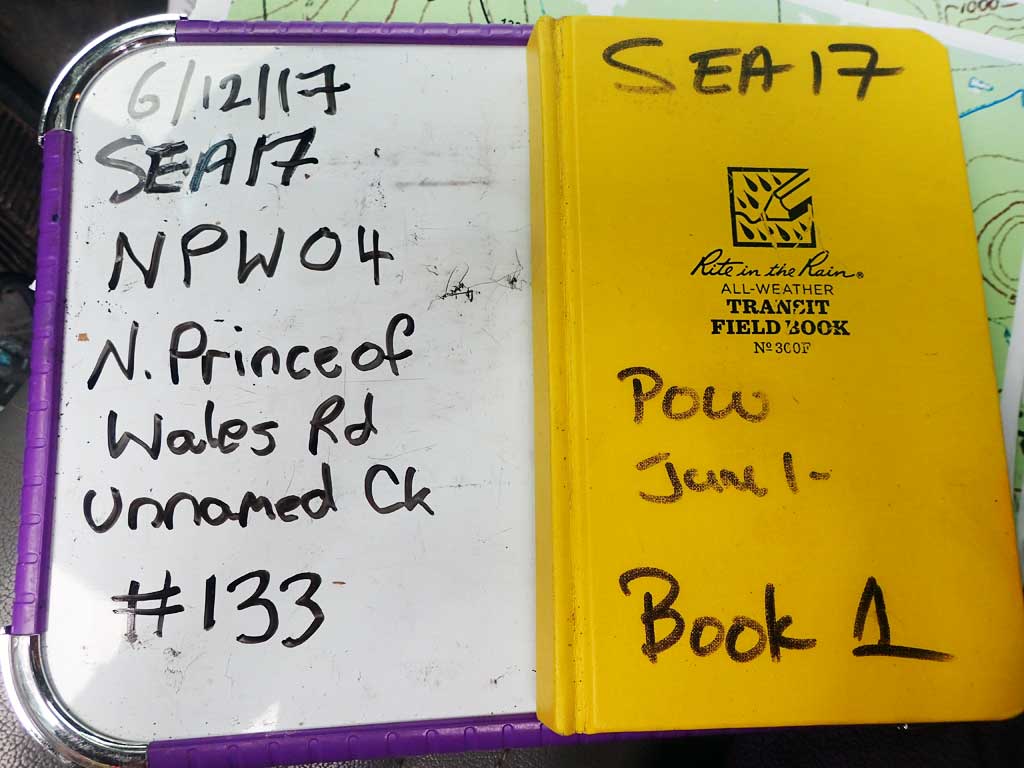
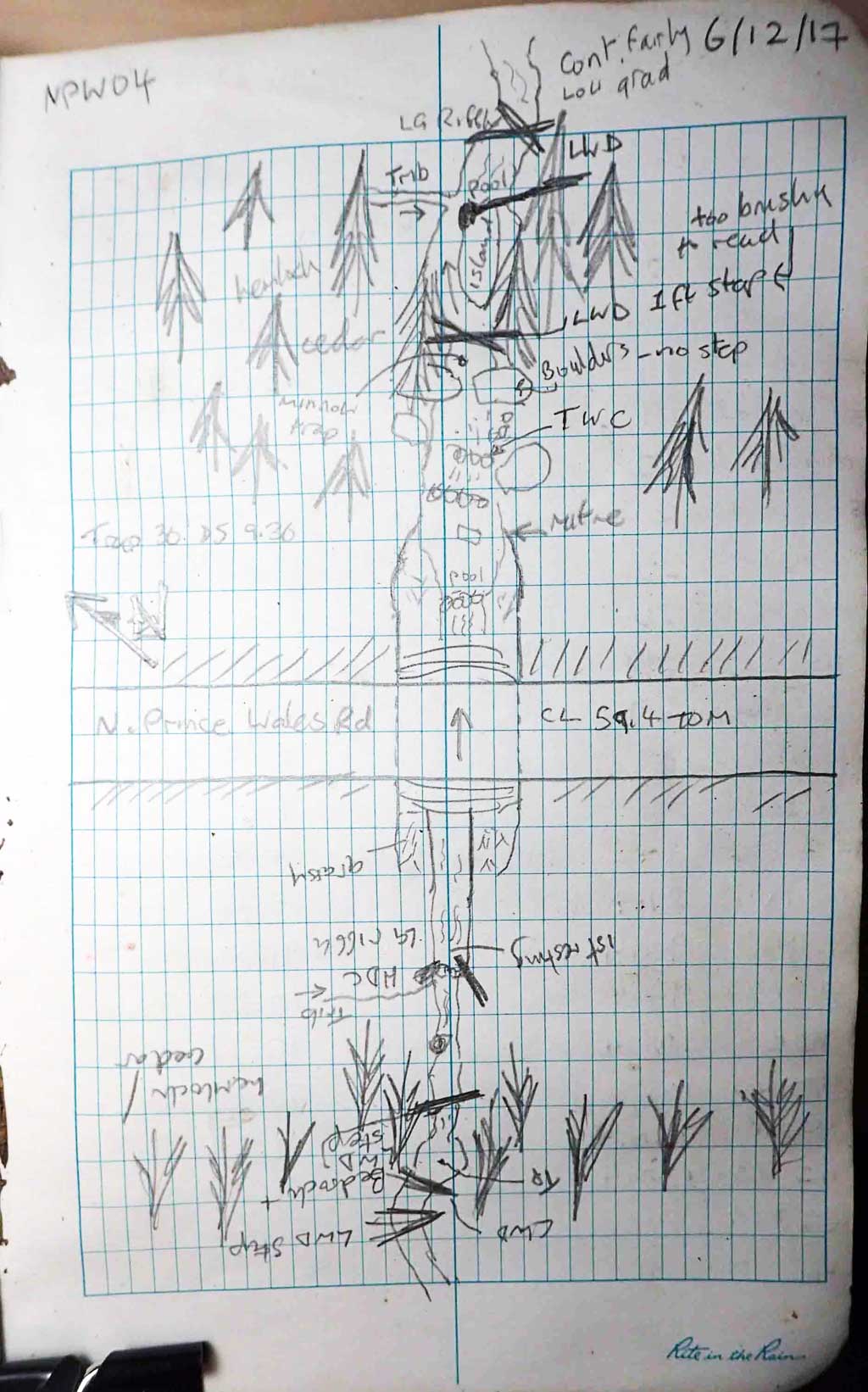
Fish Passage Site 10103570
Coordinates (dec. deg.): 55.82495°, -133.04393°
Legal Description: C070S081E06
Region: Southeast
Road Name: North Prince of Wales Road
Datum: NAD83
Quad Name / ITM: Craig D-4
AWC Stream #:
Stream Name: Unnamed
Elevation:
Site Comments: Near MP 29.
Survey SEA17-NPW04
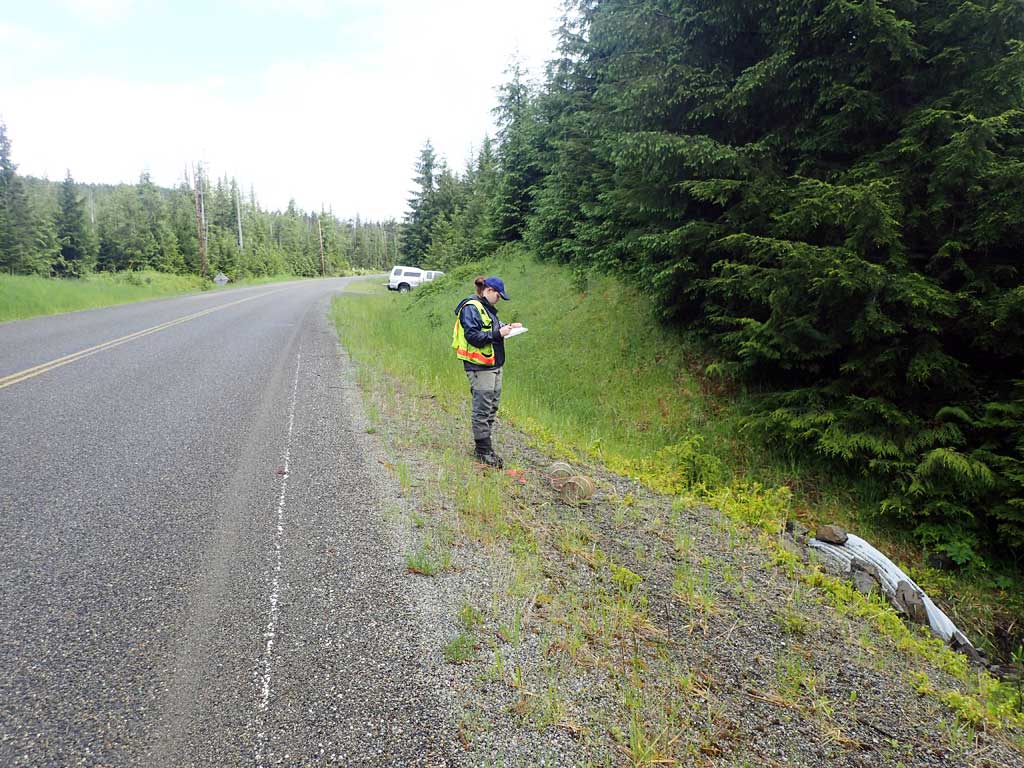
Observers: Elizabeth Flory, Kelly Petty
Overall Fish Passage Rating:
Tidal: No
Backwatered: No
Step Pools: No
Construction Year:
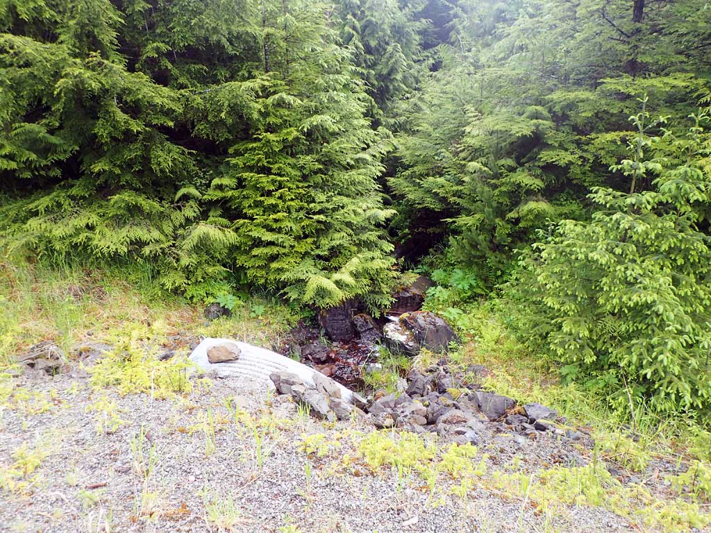
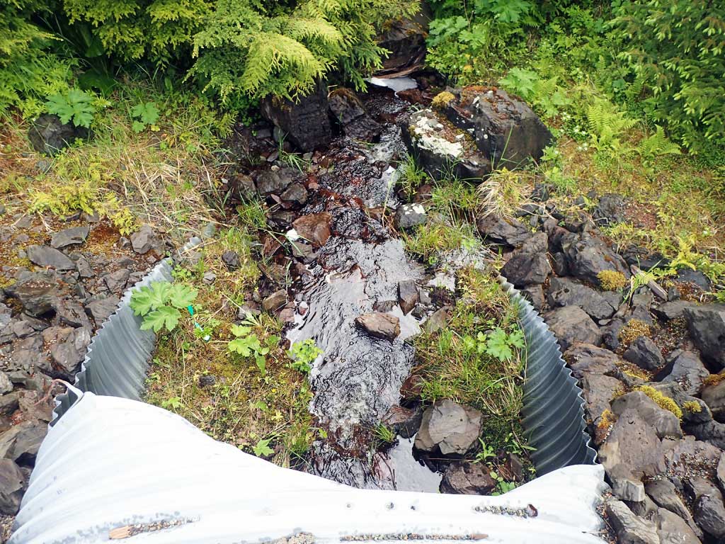
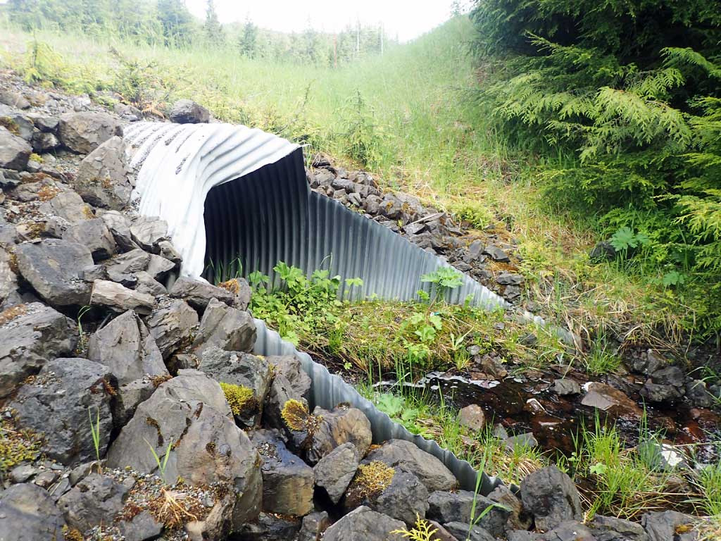
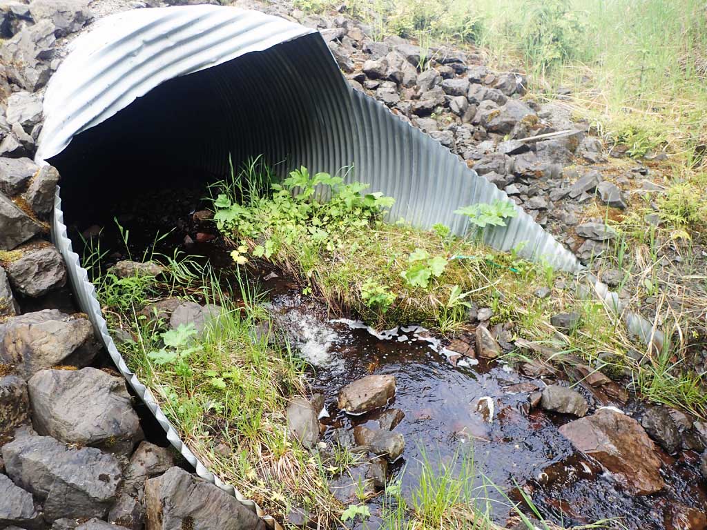
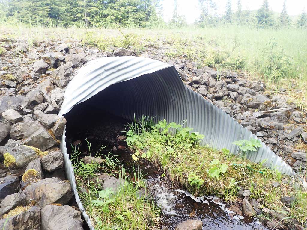
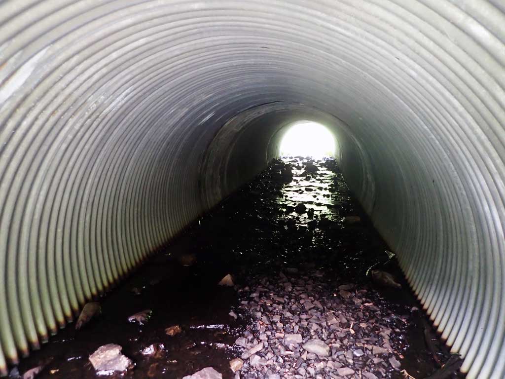
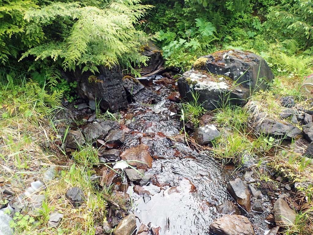
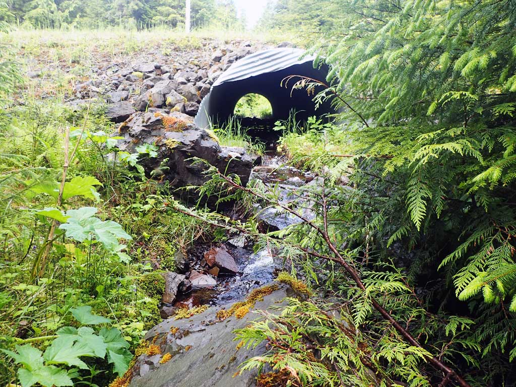
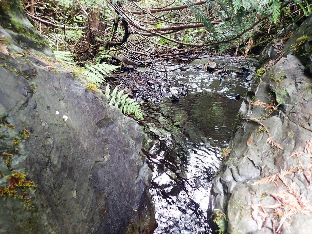
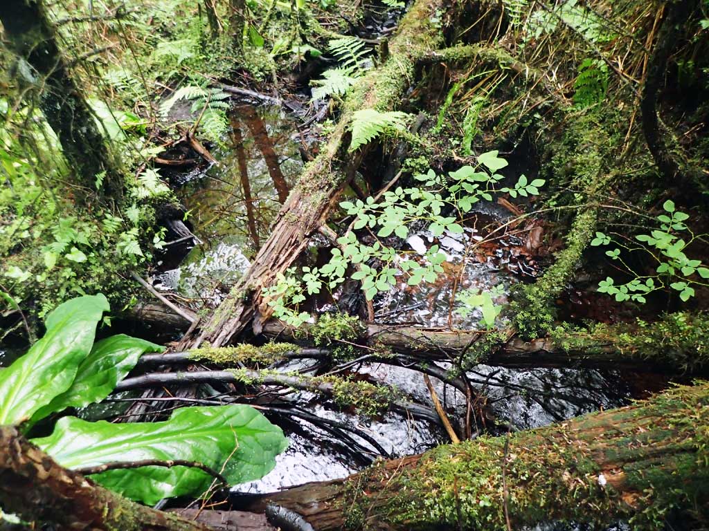
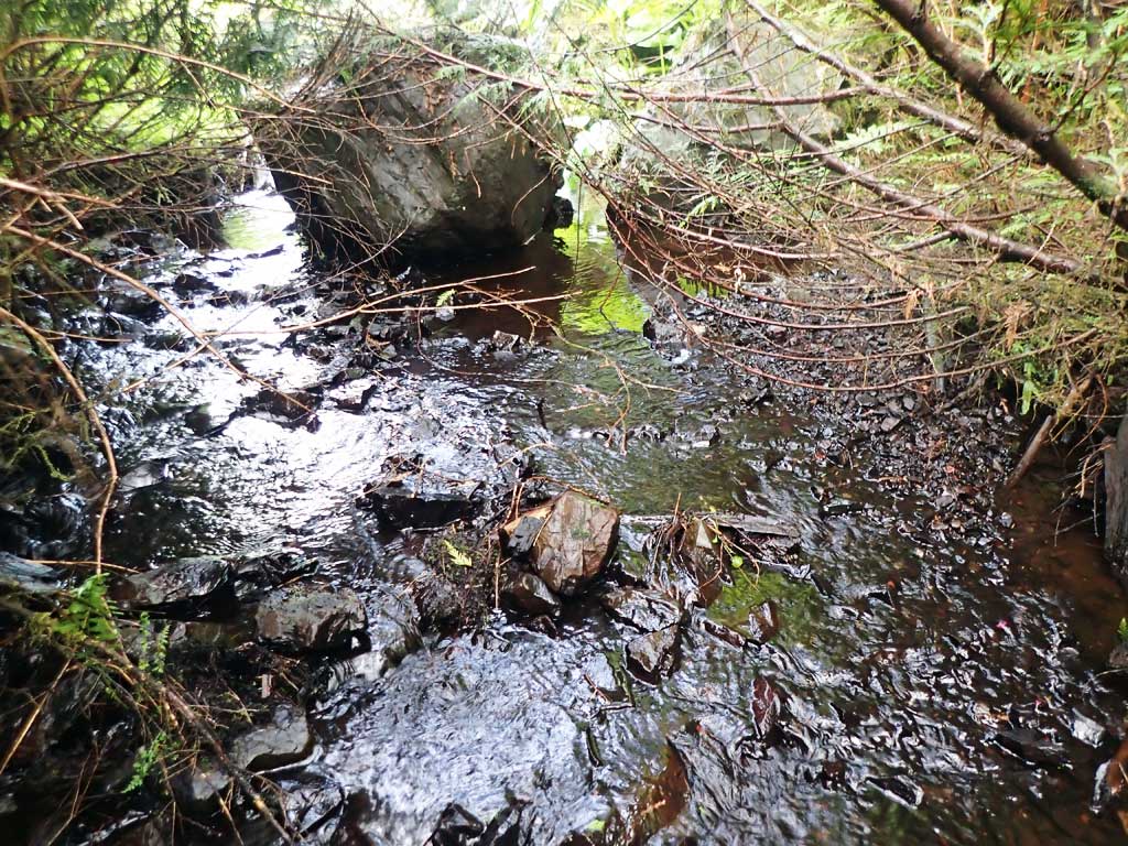
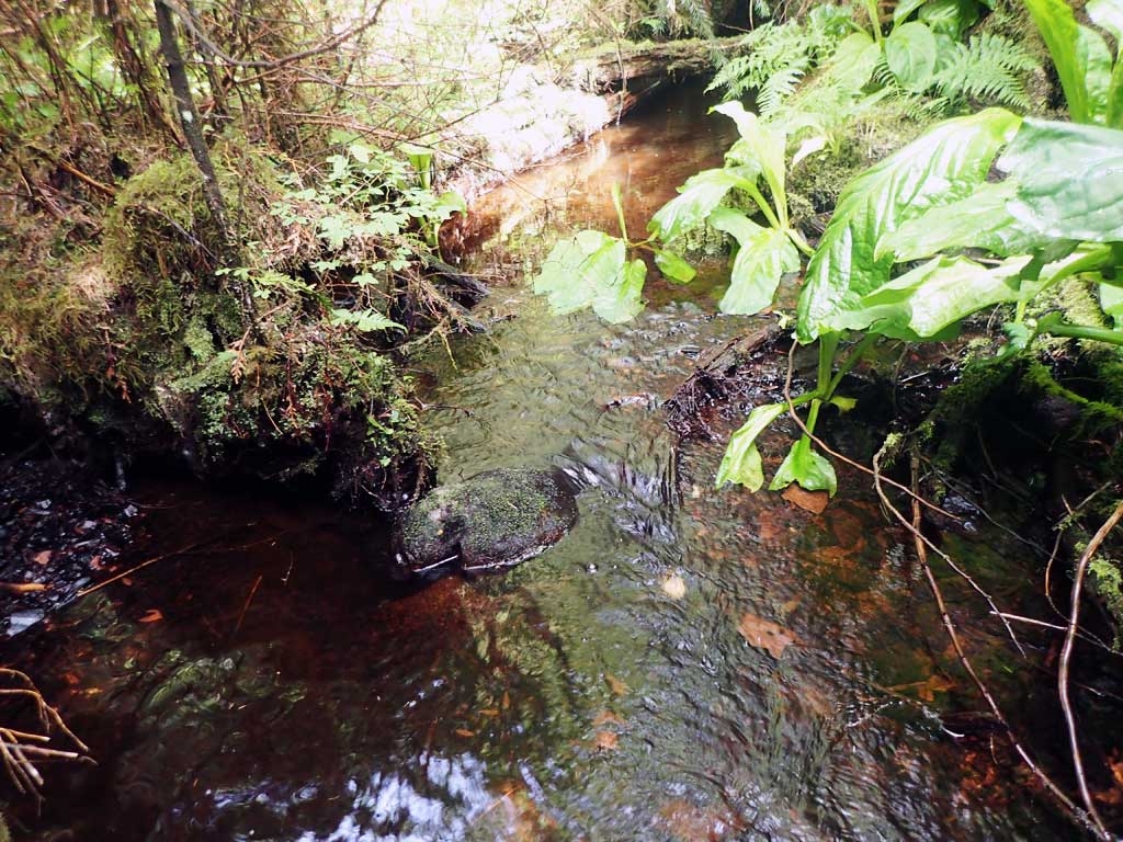
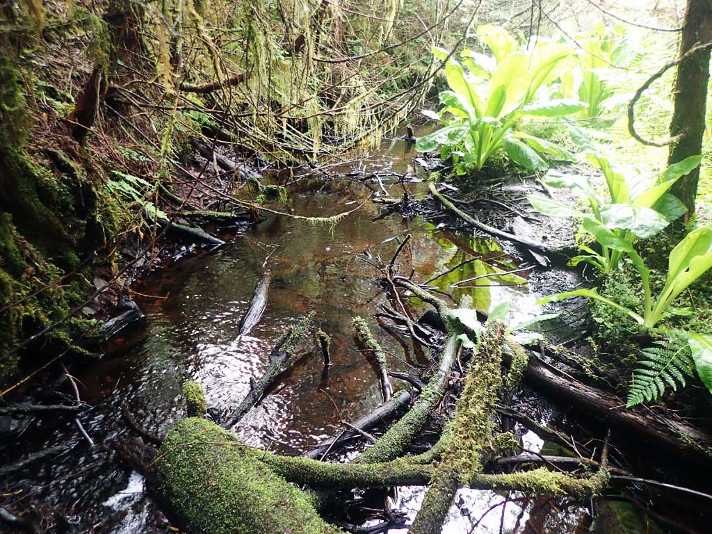
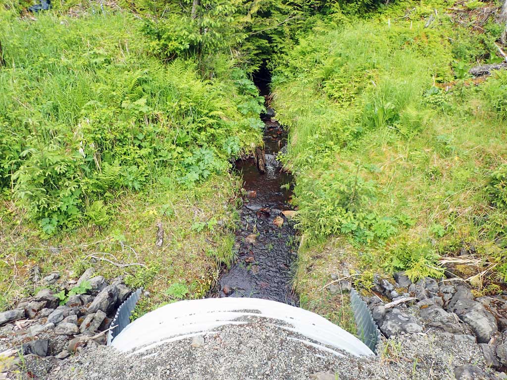
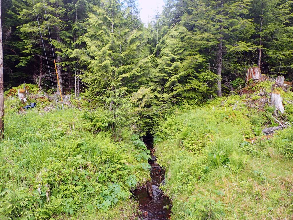
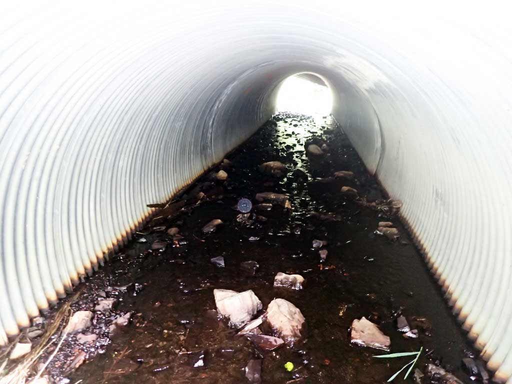
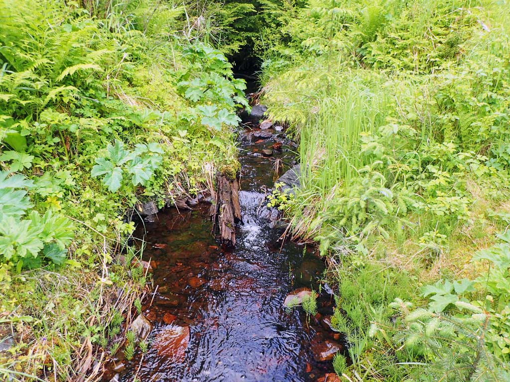
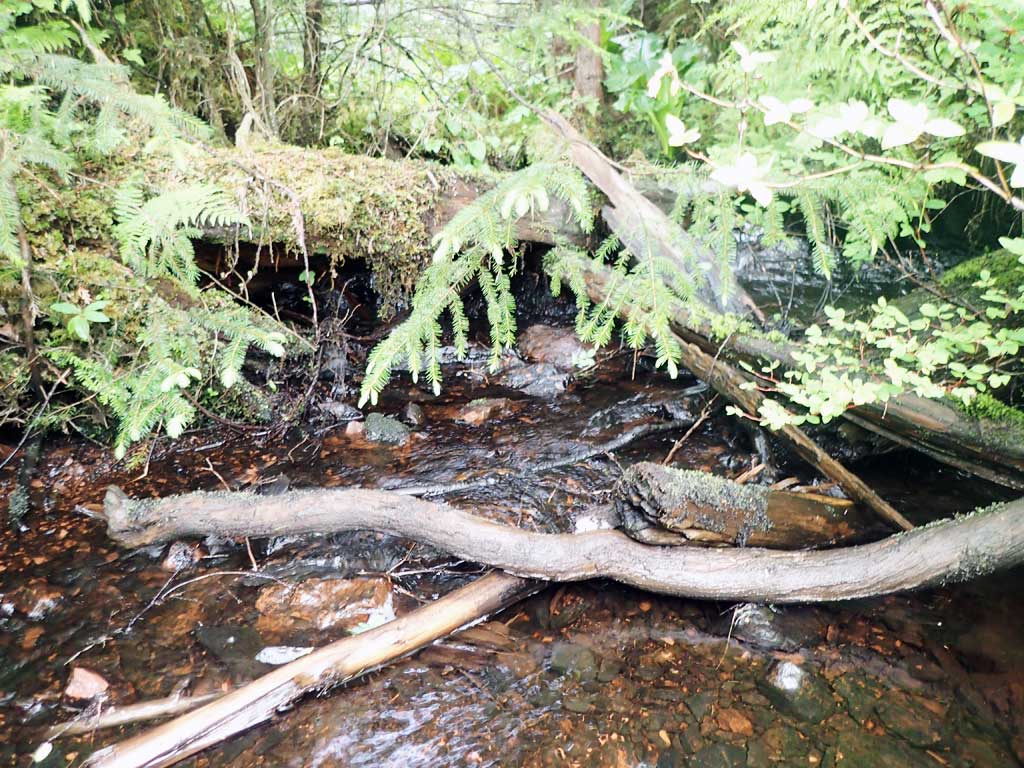
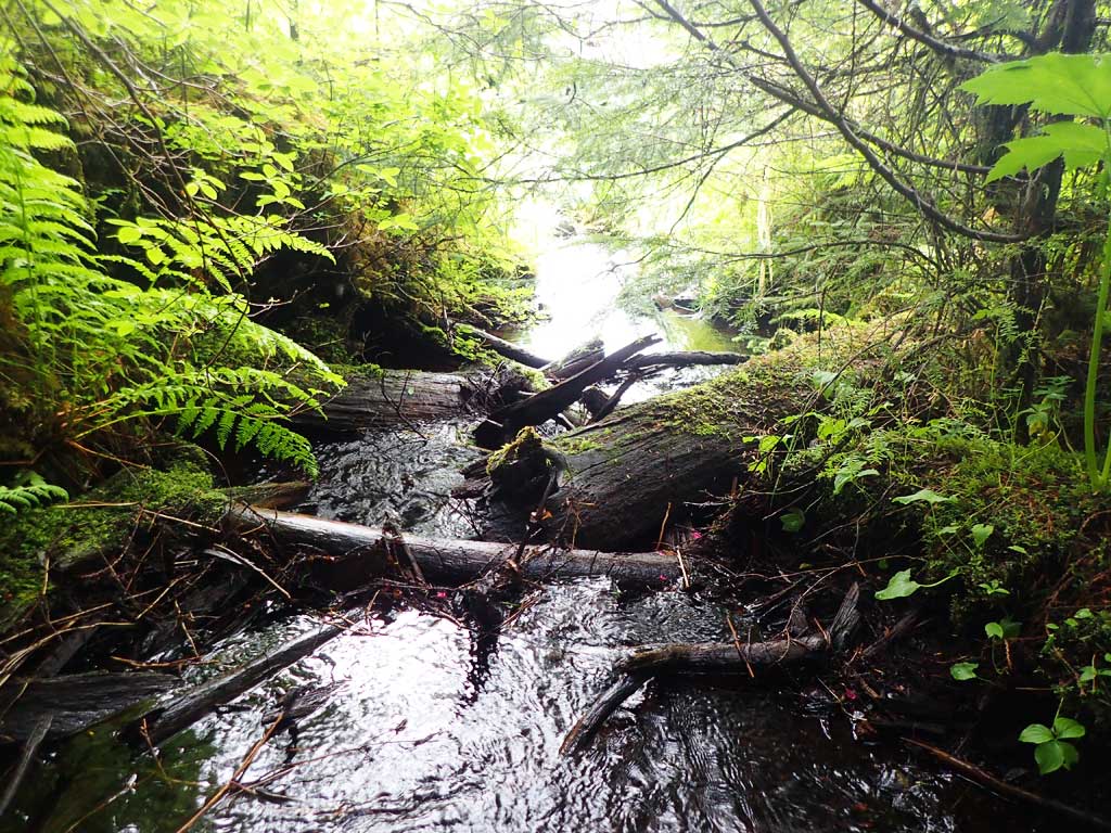
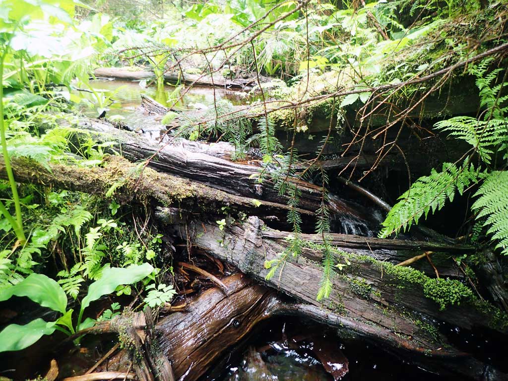
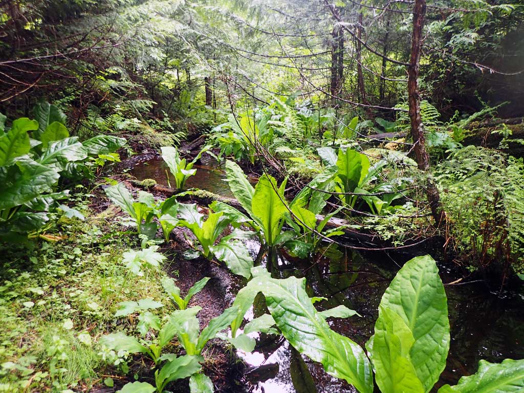
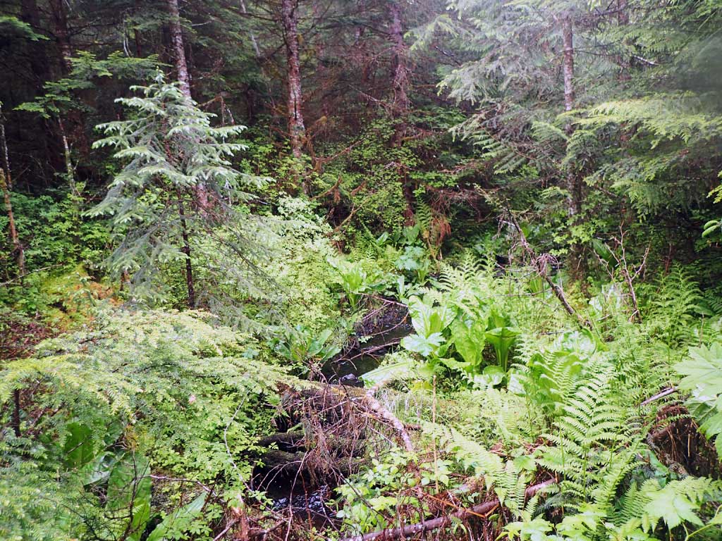
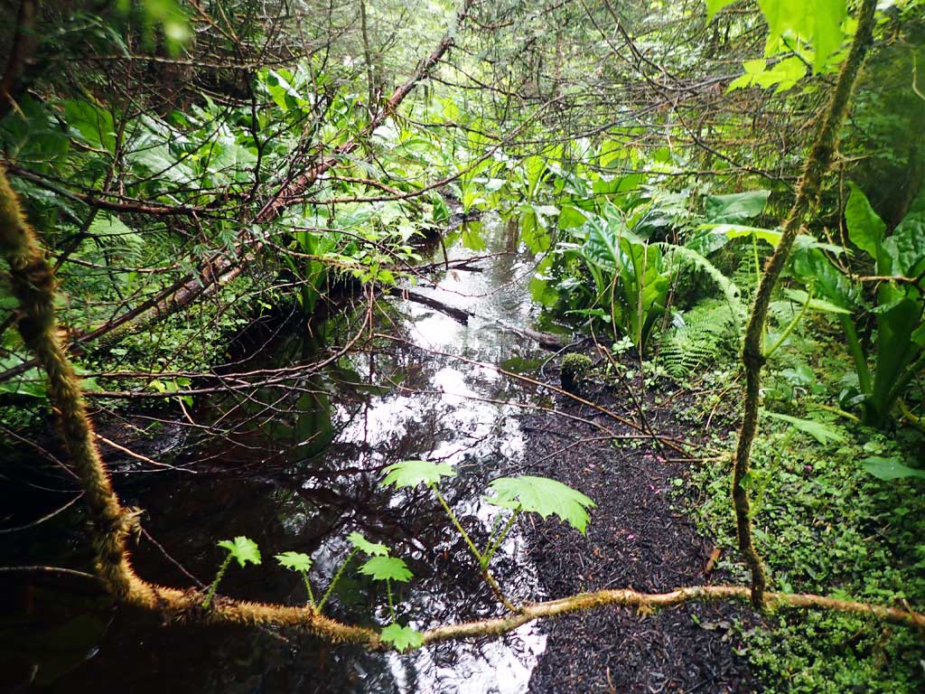
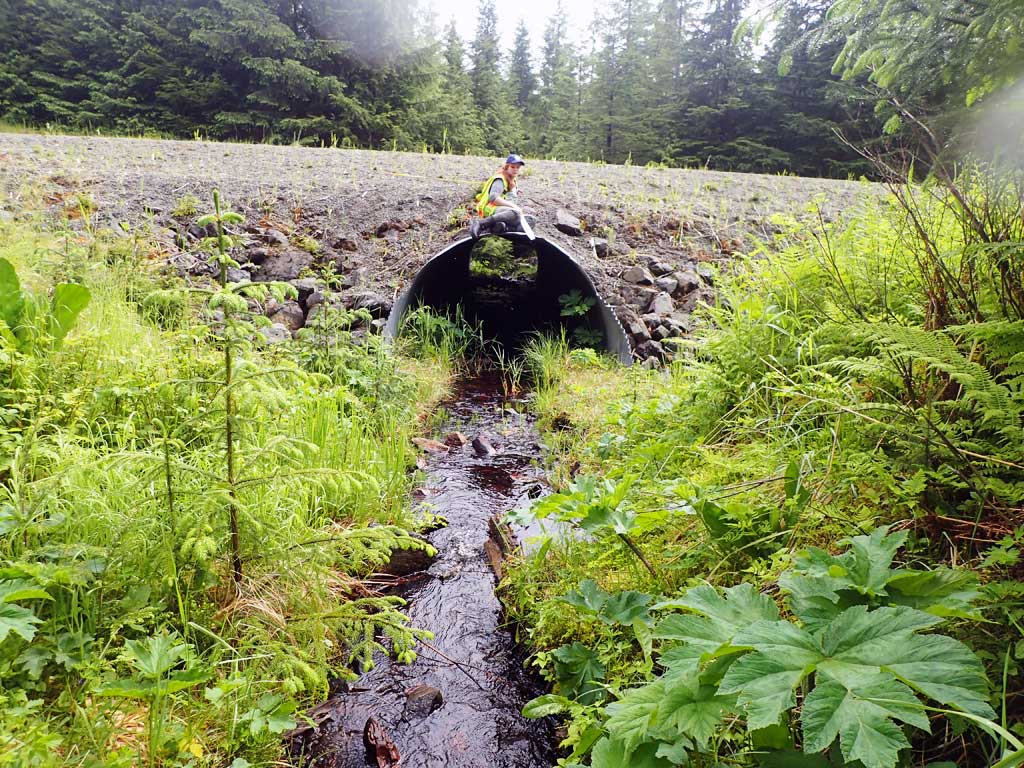
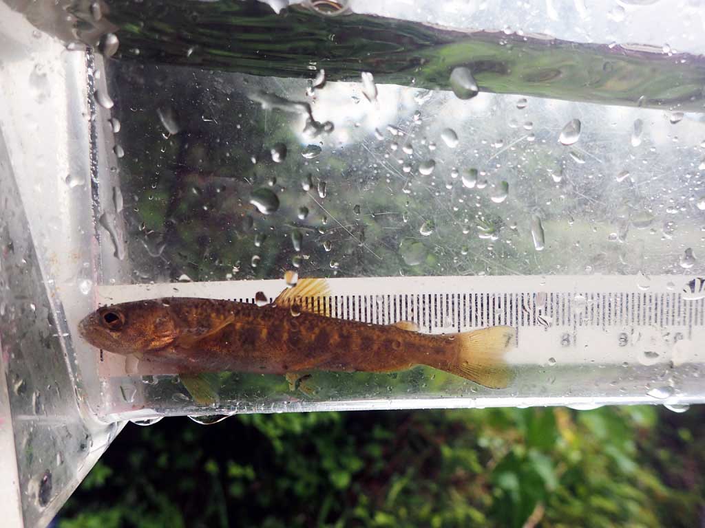
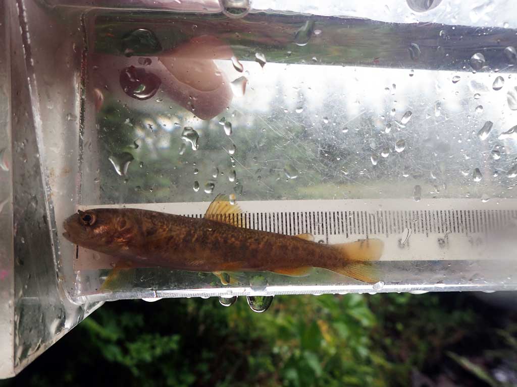
Comments: Dolly varden captured downstream. Large woody debris jam upstream forms big step that could be barrier. Upstream gradient looks similar to culvert but not measured due to brushyness.
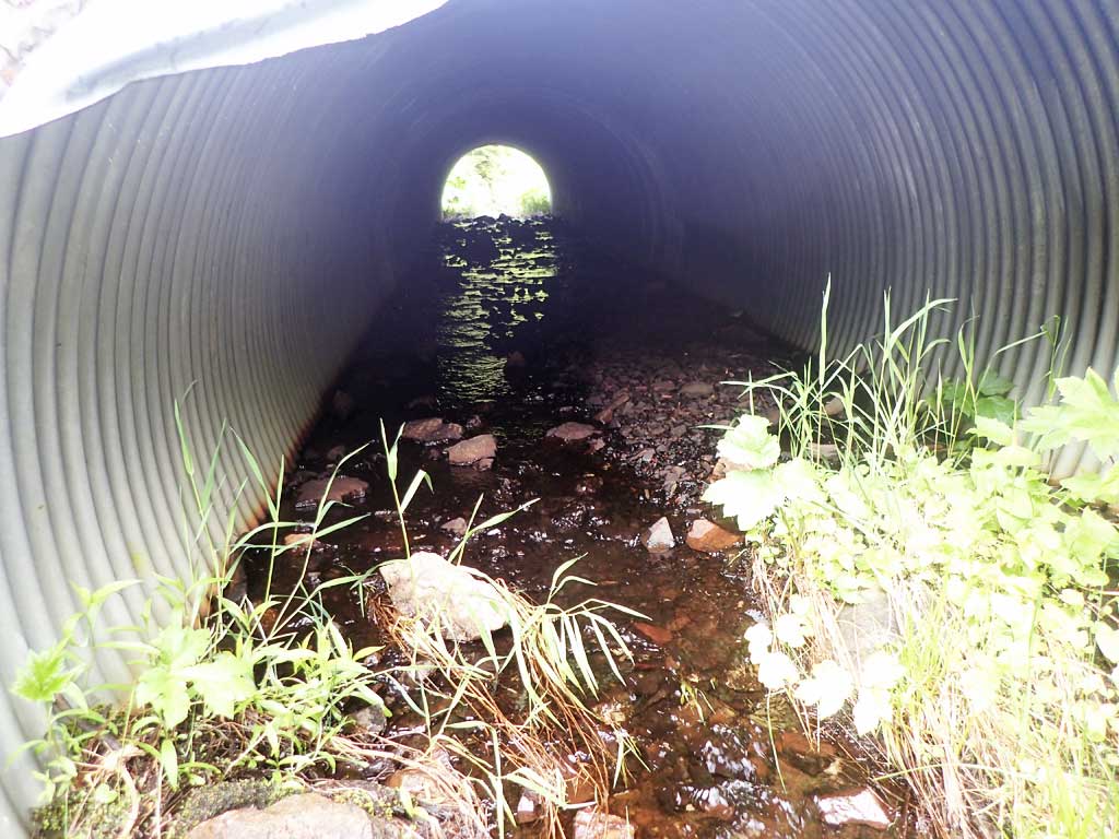
Culvert Measurements
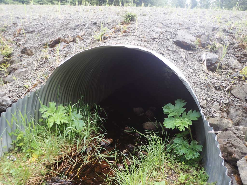
| ID: 1 | Structure Type: Circular pipe (Corrugated steel) | Fish Passage Rating: | ||||||||||||||||||||||||||||||||||||||||||
|
|
|
||||||||||||||||||||||||||||||||||||||||||
Comments: Outlet top of pipe damaged, inlet top of pipe dented. Top of culvert length 59.4'. No low water channel in culvert, may be a water depth barrier at times. |
||||||||||||||||||||||||||||||||||||||||||||
Stream Measurements
|
|
| Stream Width Type | Distance From Crossing (ft) |
Stream Width (ft) |
|---|---|---|
| Upstream ordinary high water | 25.0 | 2.40 |
| Upstream ordinary high water | 50.0 | 6.00 |
| Upstream ordinary high water | 150.0 | 3.20 |
Elevations
| Locator ID | Culvert Number |
River Distance (ft)1 |
Distance From Crossing (ft)2 |
Relative Elevation (ft) |
|---|---|---|---|---|
| Road Elev | 103.46 | |||
| D/S Grade Ctrl (Thalweg) | 0.00 | 90.70 | ||
| D/S Water Surface Elev | 0.00 | 90.87 | ||
| D/S Tailcrest or 1st Thalweg | 19.00 | 91.72 | ||
| D/S Water Surface Elev | 19.00 | 91.89 | ||
| Outlet Invert (estimated end of mitre on substrate) | 22.00 | 92.20 | ||
| D/S Water Surface Elev | 22.00 | 92.45 | ||
| D/S Water Surface Elev | 25.00 | 92.45 | ||
| Max Pool Depth | 25.00 | 91.77 | ||
| D/S Grade Ctrl (Thalweg) (step between pipe and end of mitre) | 29.00 | 92.83 | ||
| D/S Water Surface Elev | 29.00 | 93.09 | ||
| Outlet Culvert Top | 30.00 | 98.72 | ||
| Inlet Culvert Top | 89.40 | 99.99 | ||
| Inlet Culvert Invert (end of mitre on substrate) | 97.40 | 94.73 | ||
| U/S Water Surface Elev | 97.40 | 94.88 | ||
| U/S Headwater | 108.40 | 95.19 | ||
| U/S Water Surface Elev | 108.40 | 95.24 | ||
| U/S Grade Ctrl (Thalweg) (LWD Step) | 130.40 | 96.44 | ||
| U/S Water Surface Elev | 130.40 | 96.72 |
Notes:
- River distance is measured continuously throughout the survey reach along the thalweg of the stream.
- Measured from each end of the crossing along the thalweg of the stream.
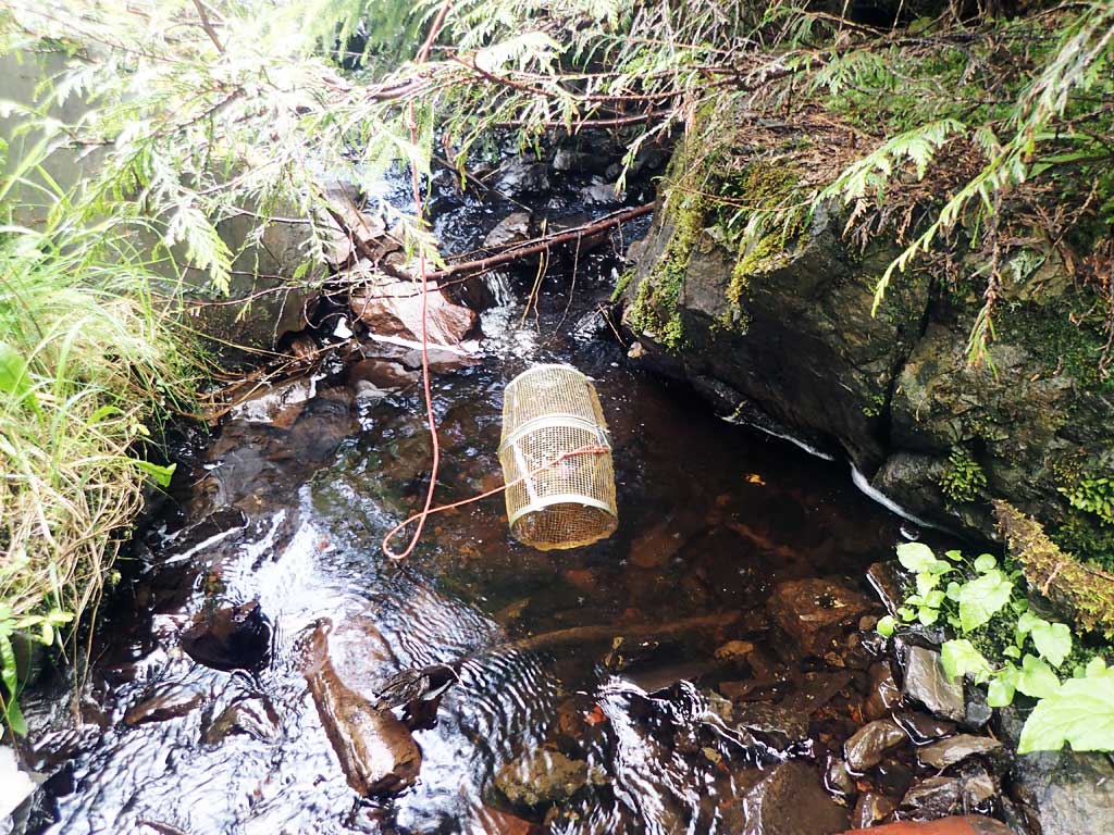
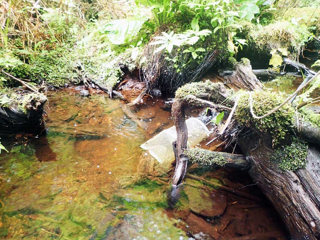
Fish Sampling Efforts
| Gear Type: Minnow Trap (A) | Trap Duration(h): 1.5 | |
| Comments: no fish | ||
| Gear Type: Minnow Trap (B) | Trap Duration(h): 1.5 | |
| Comments: 2 dollys | ||
Fish Observations
| Species: juvenile Dolly Varden | Life History: | ||
| Total Fish Observed: 2 | Fish Measured: 2 | Fork Lengths (mm) Min: 67 Max: 72 Mean: 69 | |
| Collected/Observed by Gear Type: Downstream Minnow Trap (2) | |||
Photos
Questions or comments about this report can be directed to dfg.dsf.webmaster@alaska.gov