Fish Passage Site 10103569
Coordinates (dec. deg.): 55.83014°, -133.04465°
Legal Description: C070S081E06
Region: Southeast
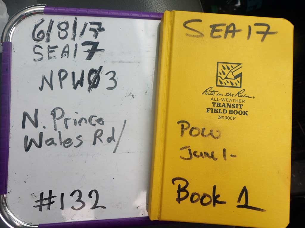
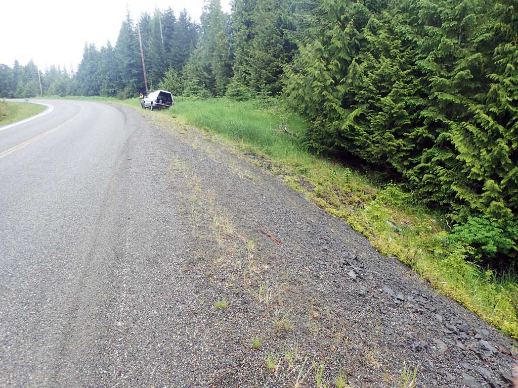
Road Name: North Prince of Wales Road
Datum: NAD83
Quad Name / ITM: Craig D-4
AWC Stream #:
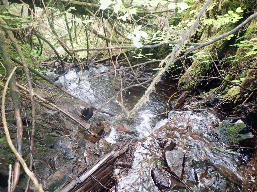
Stream Name: unnamed
Elevation:
Site Comments: None
Survey SEA17-NPW03
Observers: Mark Eisenman, Elizabeth Flory, Kelly Petty
Overall Fish Passage Rating:
Tidal: No
Backwatered: No
Step Pools: No
Construction Year:
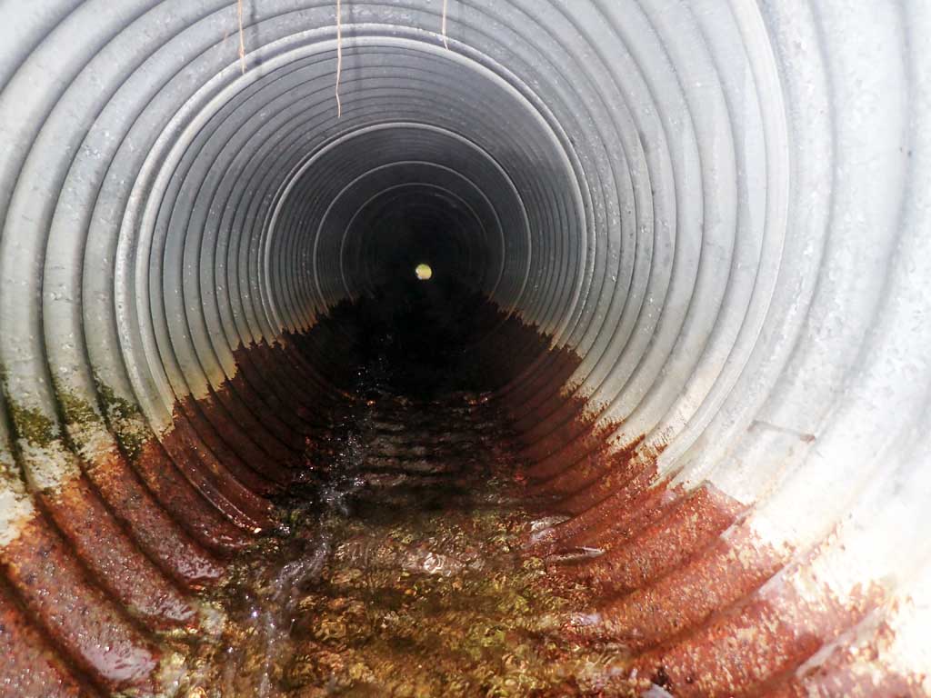
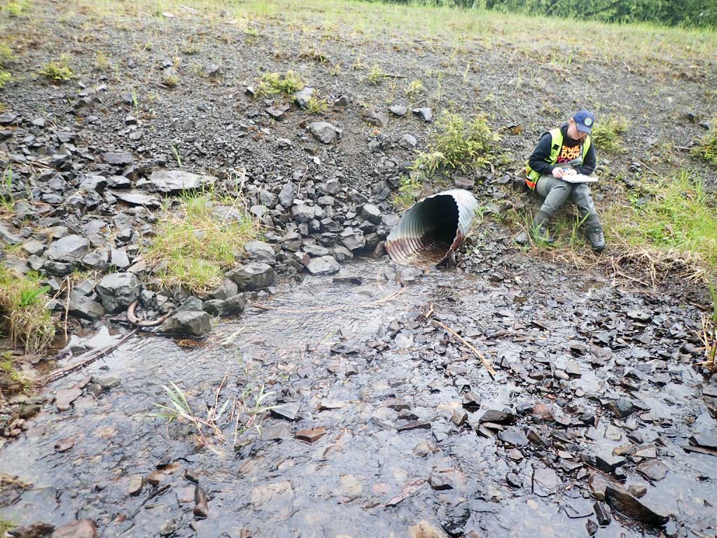
Site Observations:
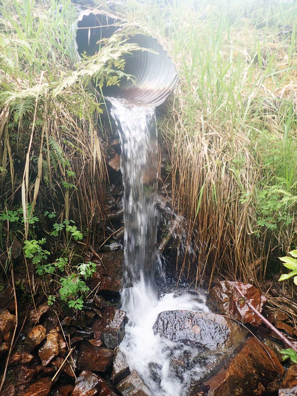
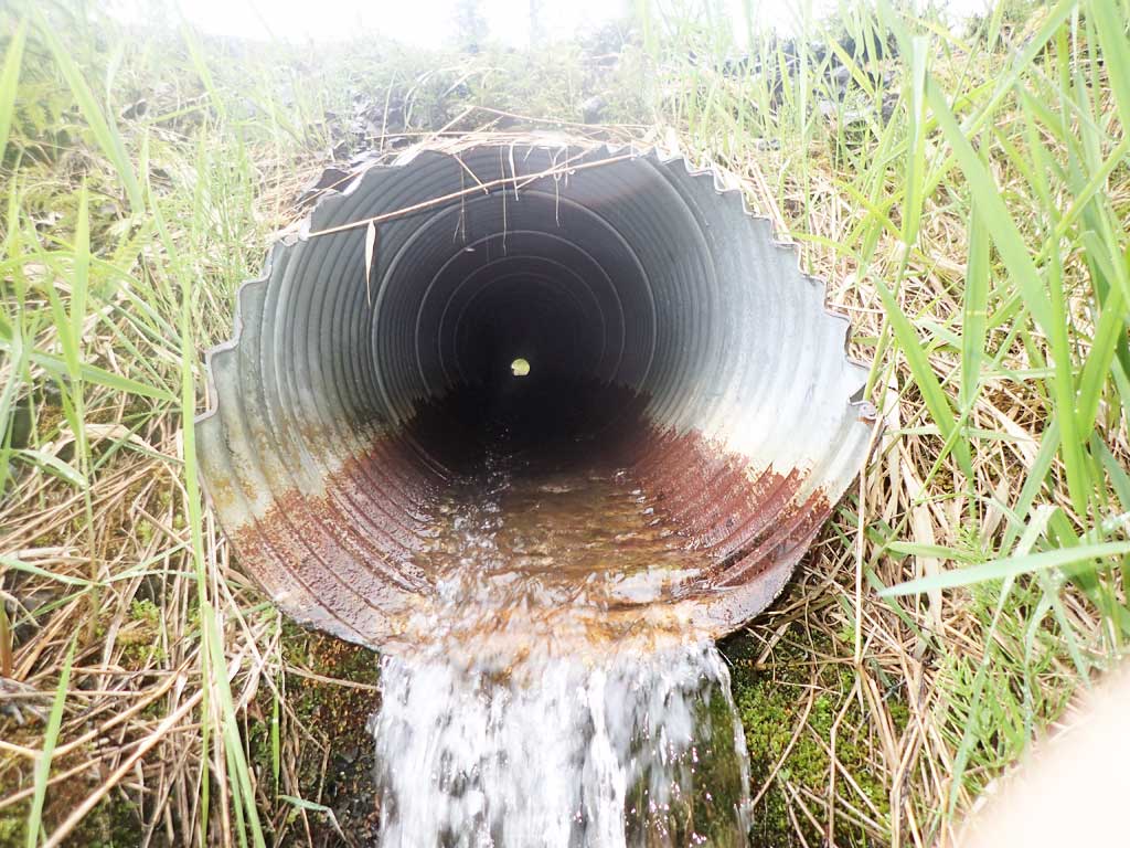
- Outfall height red
- Culvert gradient gray
- Constriction ratio red
- Hydraulic flows exceeded capacity
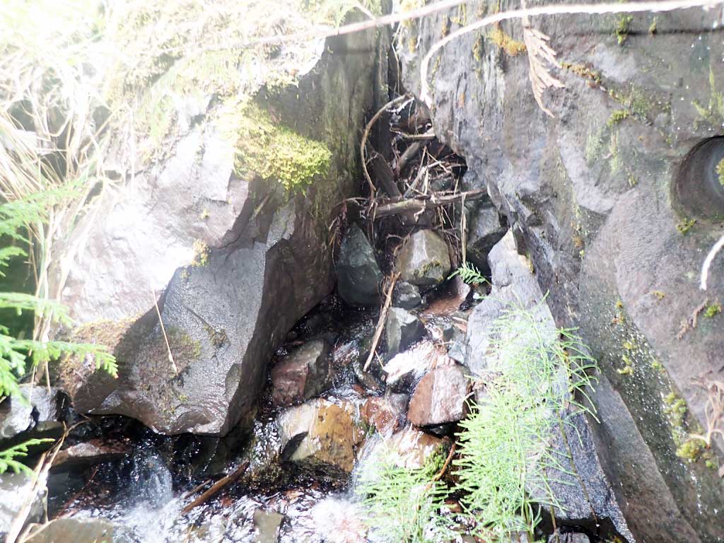
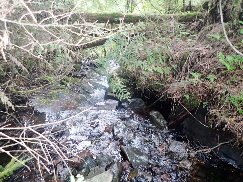
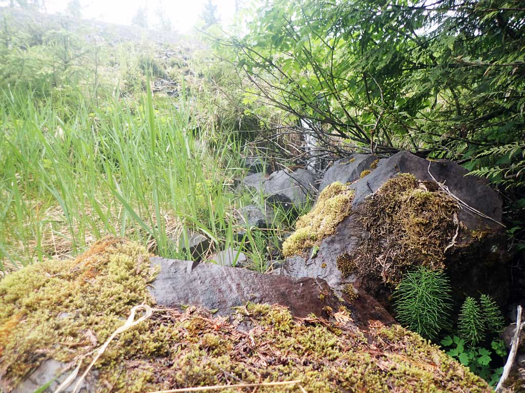
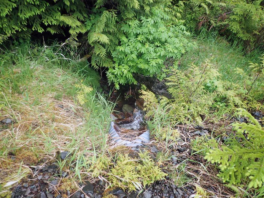
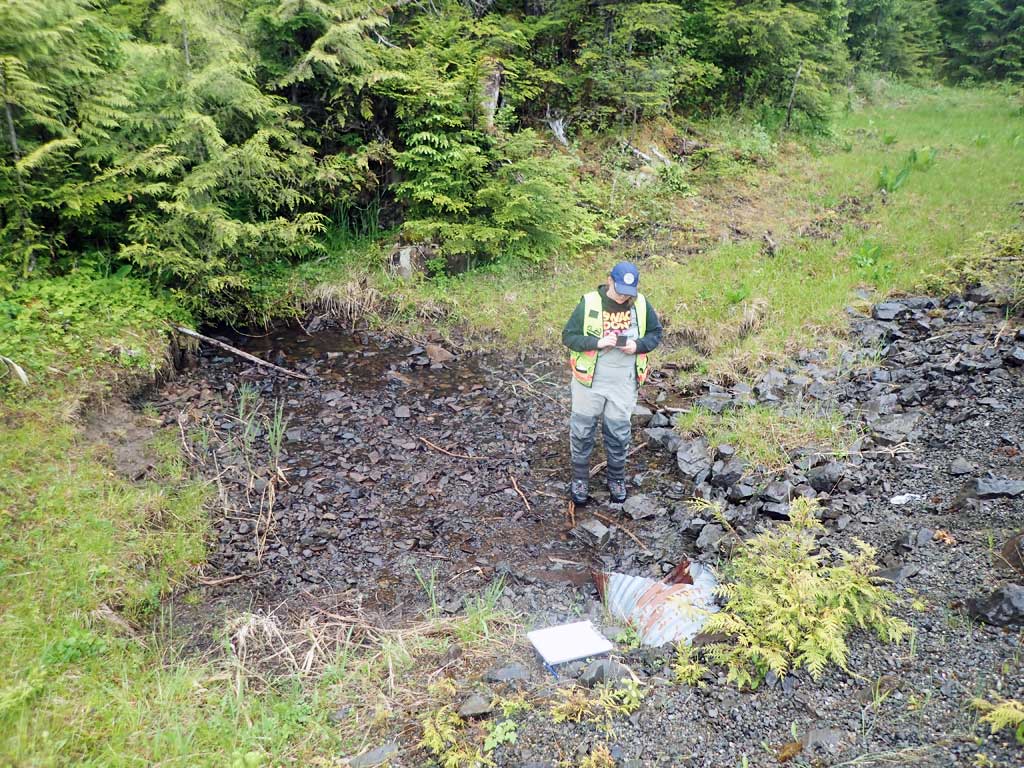
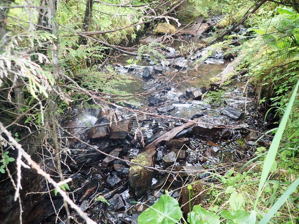
Comments: Bedrock chutes and potential drop forming barrier dowvstream. No fish observed
Culvert Measurements
| ID: 1 | Structure Type: Circular pipe (Corrugated steel) | Fish Passage Rating: | |||||||||||||||||||||||||||||||||||||||||
|
|
|
|||||||||||||||||||||||||||||||||||||||||
Comments: 2ft mitres. Issues with constriction, gradient and outfall height. |
|||||||||||||||||||||||||||||||||||||||||||
Culvert Observations:
|
|||||||||||||||||||||||||||||||||||||||||||
Stream Measurements
|
|
| Stream Width Type | Distance From Crossing (ft) |
Stream Width (ft) |
|---|---|---|
| Upstream ordinary high water | 100.0 | 4.60 |
| Upstream ordinary high water | 150.0 | 5.00 |
| Upstream ordinary high water | 200.0 | 6.50 |
Elevations
| Locator ID | Culvert Number |
River Distance (ft)1 |
Distance From Crossing (ft)2 |
Relative Elevation (ft) |
|---|---|---|---|---|
| Road Elev | 103.76 | |||
| D/S Grade Ctrl (Thalweg) (below boulders) | 0.00 | 81.96 | ||
| D/S Water Surface Elev | 0.00 | 82.08 | ||
| D/S Tailcrest or 1st Thalweg (boulders) | 13.00 | 86.53 | ||
| D/S Water Surface Elev | 13.00 | 86.67 | ||
| D/S Water Surface Elev | 18.00 | 86.72 | ||
| Max Pool Depth | 18.00 | 86.04 | ||
| Outlet Invert (on substrate) | 20.60 | 90.56 | ||
| D/S Water Surface Elev | 20.60 | 90.64 | ||
| Outlet Culvert Top | 23.00 | 92.77 | ||
| Inlet Culvert Top | 113.80 | 97.57 | ||
| Inlet Culvert Invert (on substrate) | 116.20 | 95.68 | ||
| U/S Water Surface Elev | 116.20 | 95.84 | ||
| U/S Grade Ctrl (Thalweg) | 140.80 | 97.45 | ||
| U/S Water Surface Elev | 140.80 | 97.57 |
Notes:
- River distance is measured continuously throughout the survey reach along the thalweg of the stream.
- Measured from each end of the crossing along the thalweg of the stream.
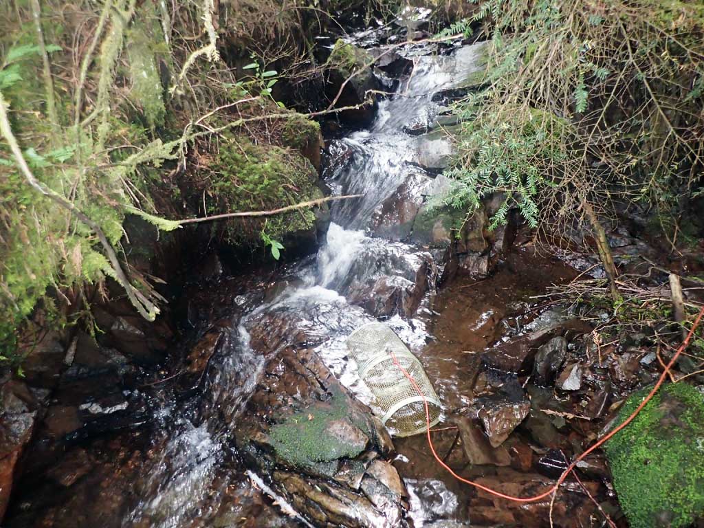
Fish Sampling Efforts
| Gear Type: Minnow Trap (A) | Trap Duration(h): 1.5 | |
| Comments: no fish | ||
| Gear Type: Minnow Trap (B) | Trap Duration(h): 1.5 | |
| Comments: no fish | ||
Fish Observations
No fish observations occurred during this survey.
Photos


Questions or comments about this report can be directed to dfg.dsf.webmaster@alaska.gov