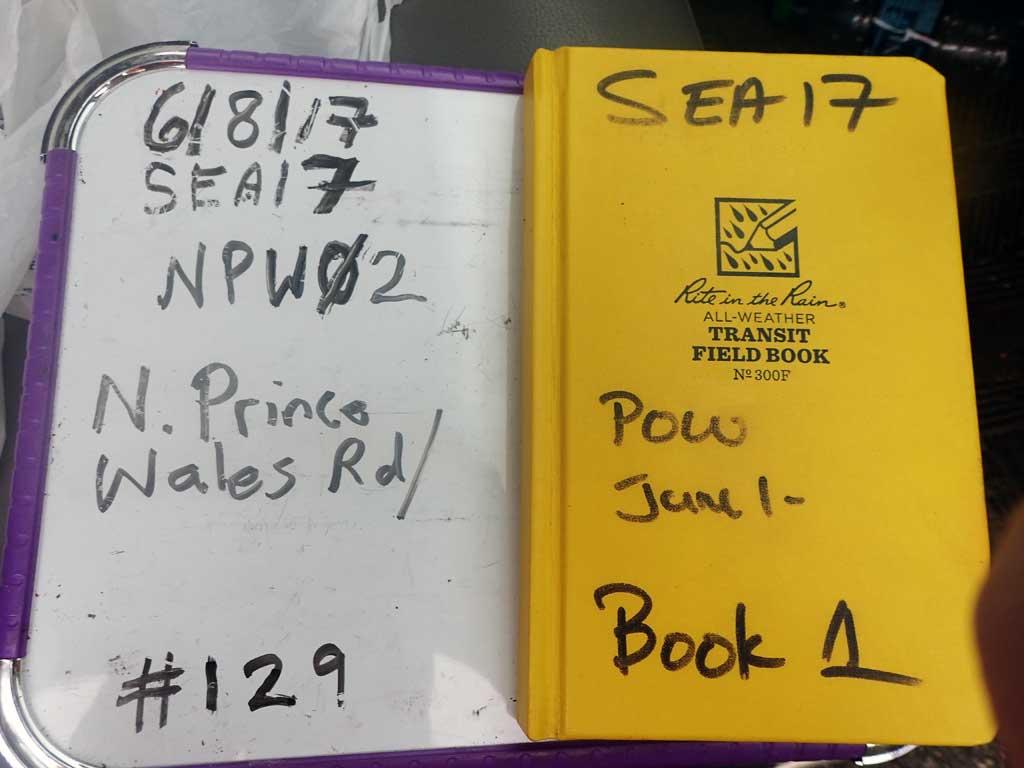
Fish Passage Site 10103568
Coordinates (dec. deg.): 55.85384°, -133.06775°
Legal Description: C069S080E25
Region: Southeast
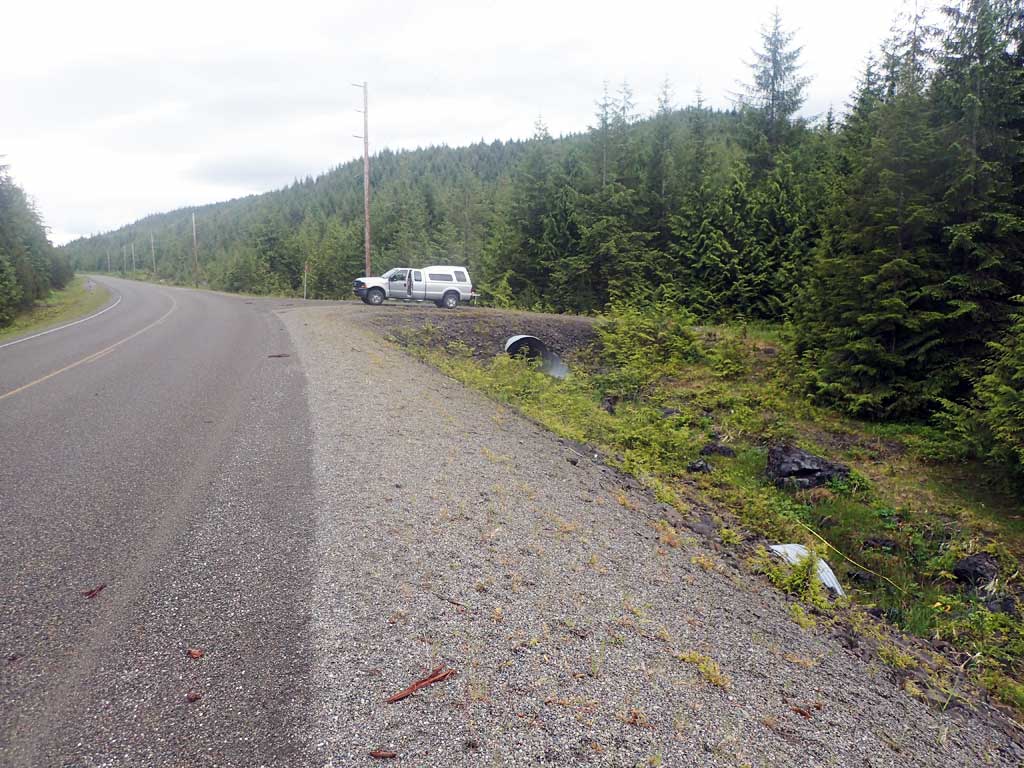
Road Name: North Prince of Wales Road
Datum: NAD83
Quad Name / ITM: Craig D-4
AWC Stream #:
Stream Name: Unnamed
Elevation:
Site Comments: None
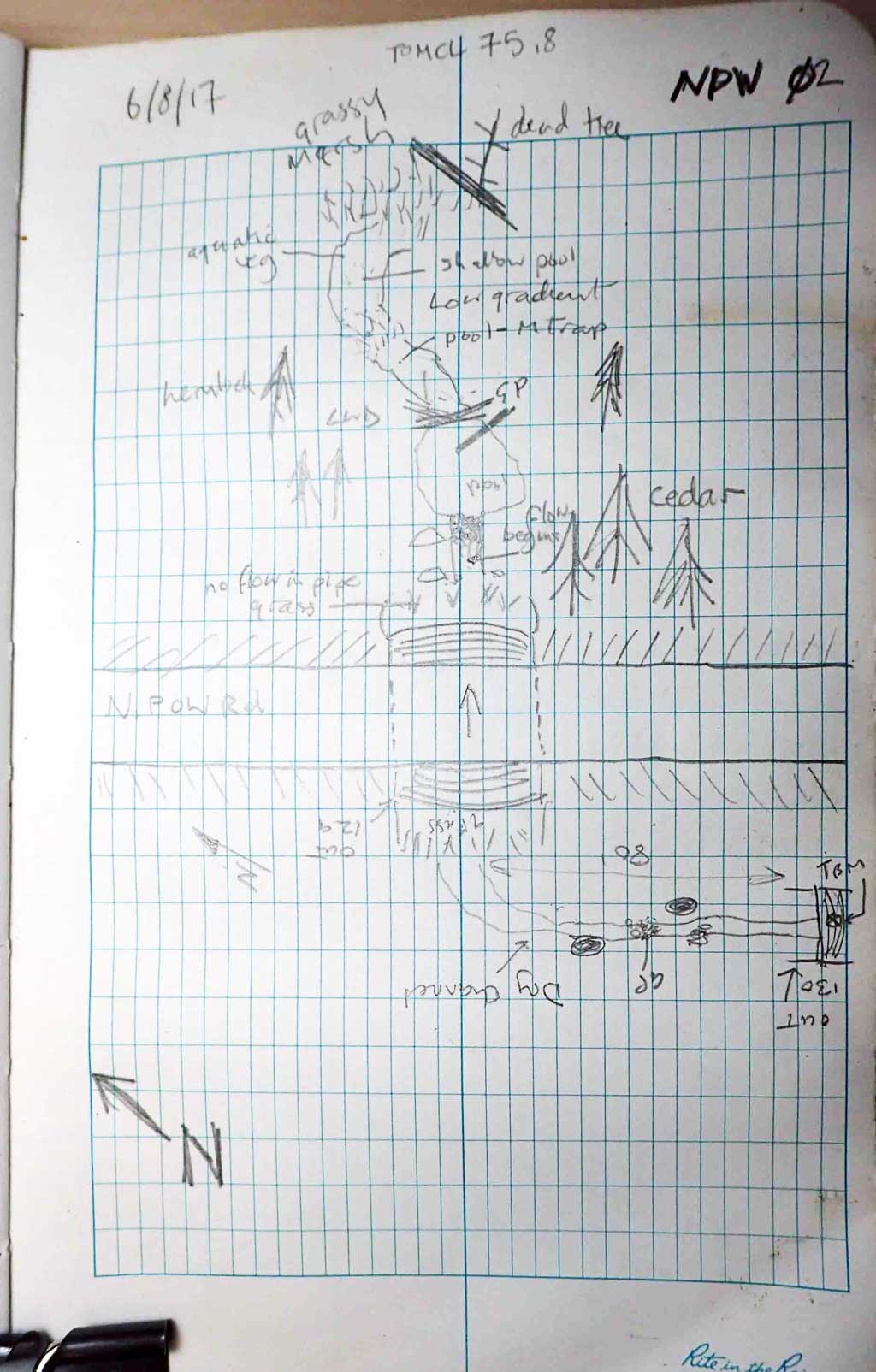
Survey SEA17-NPW02
Observers: Mark Eisenman, Elizabeth Flory, Kelly Petty
Overall Fish Passage Rating:
Tidal: No
Backwatered: No
Step Pools: No
Construction Year:
Site Observations:
- Improper bedding
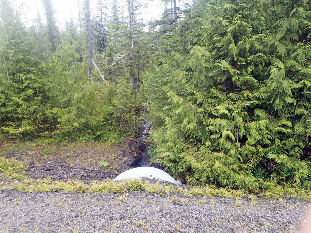
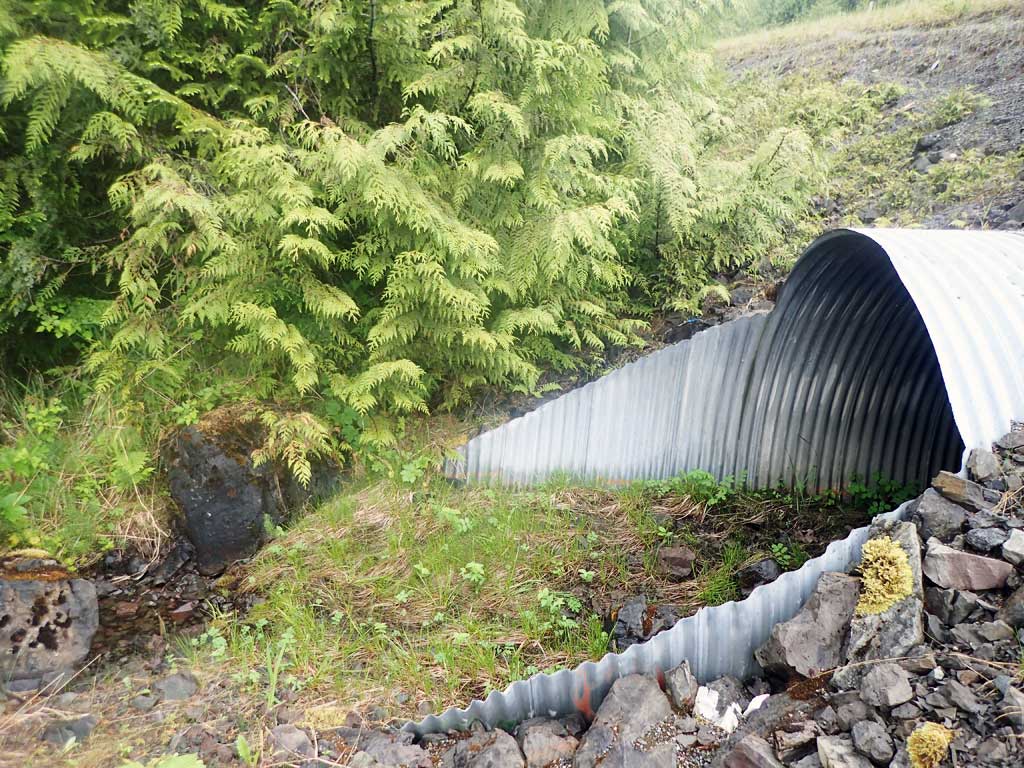
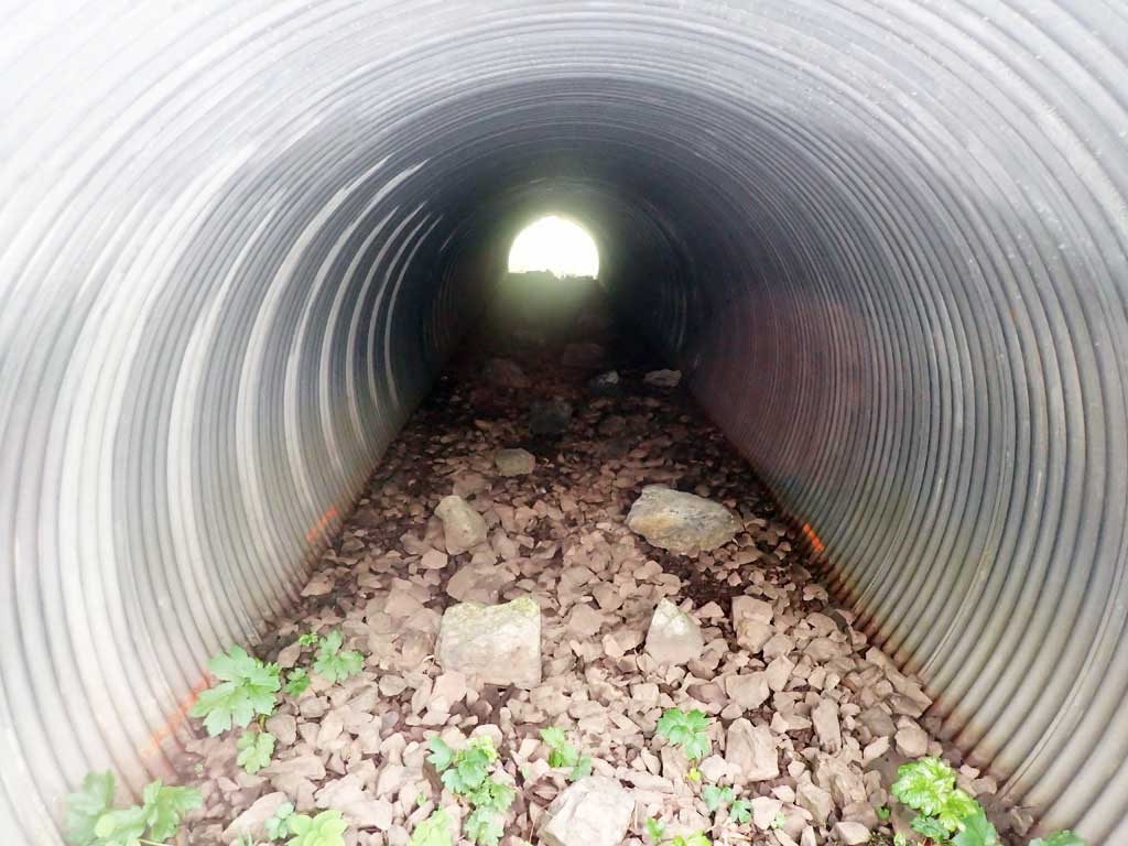
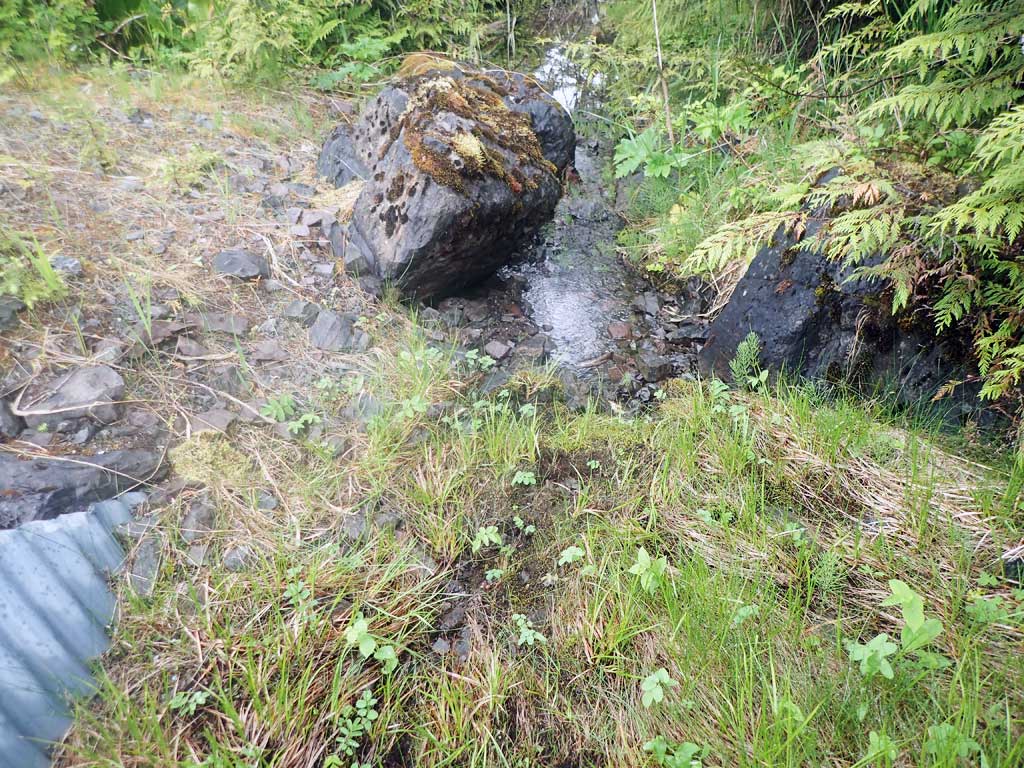
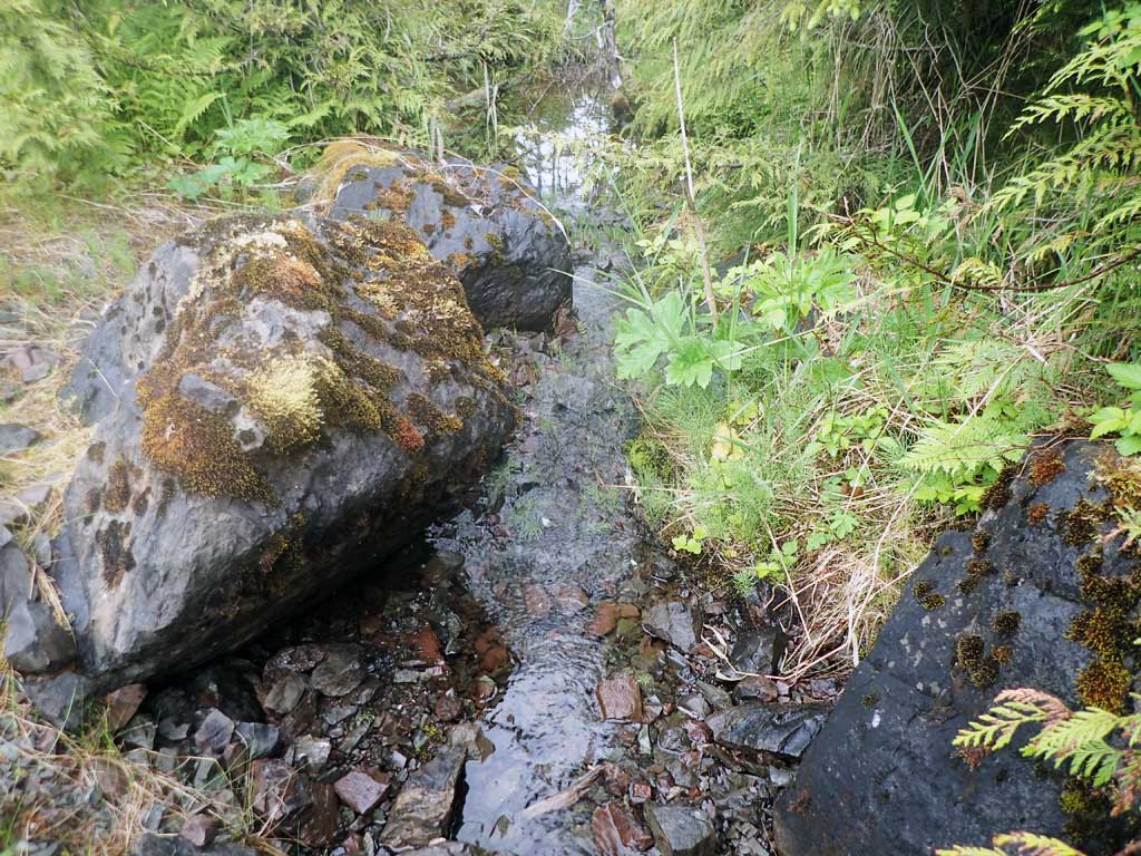
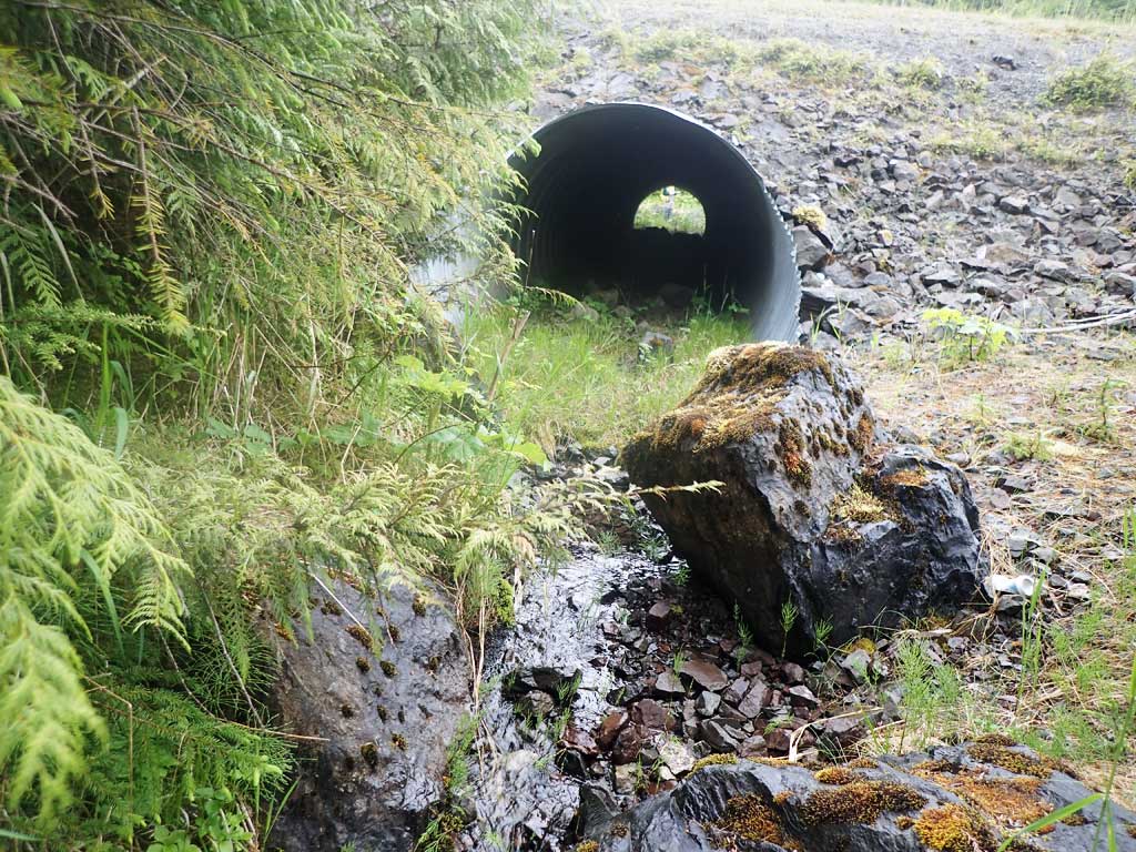
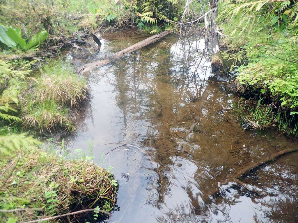
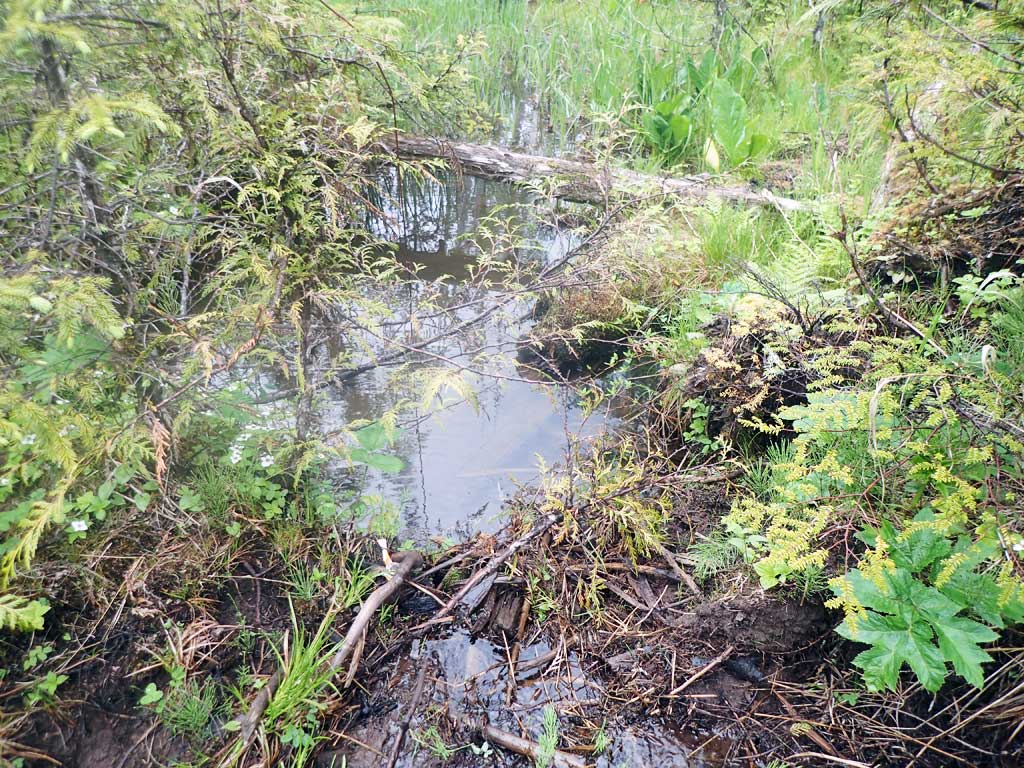
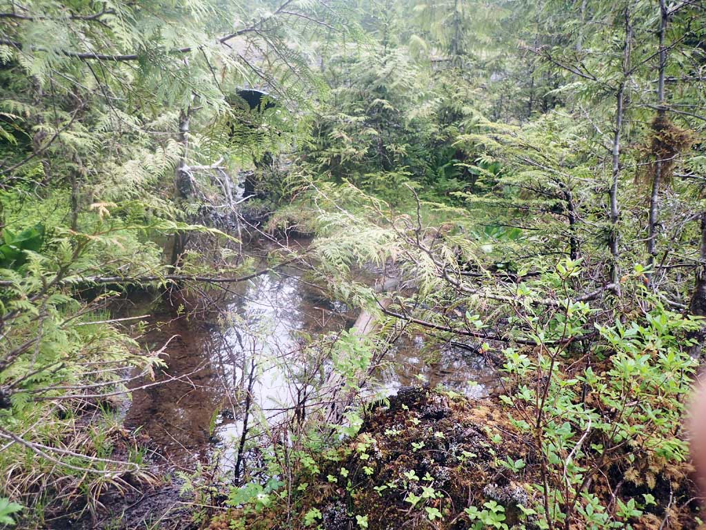
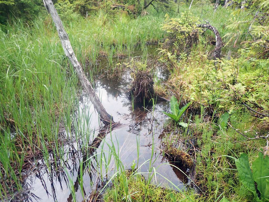
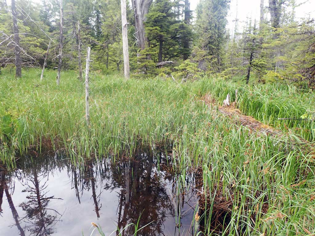
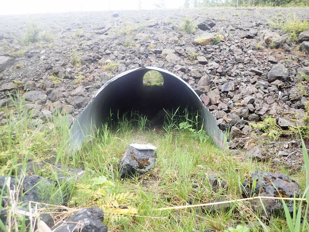
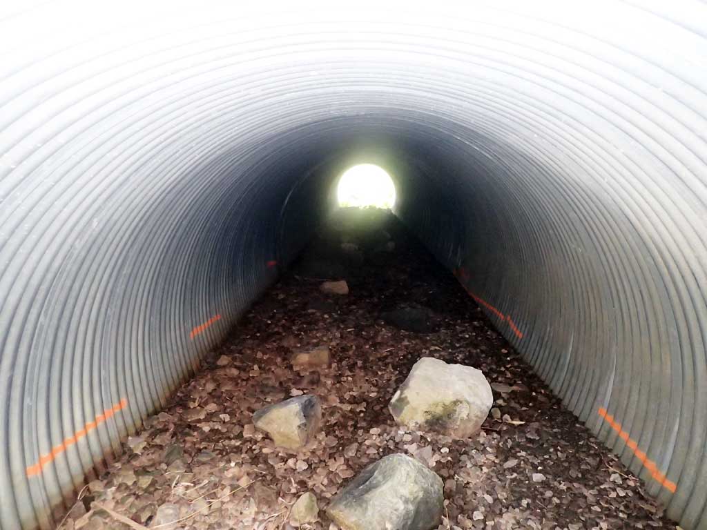
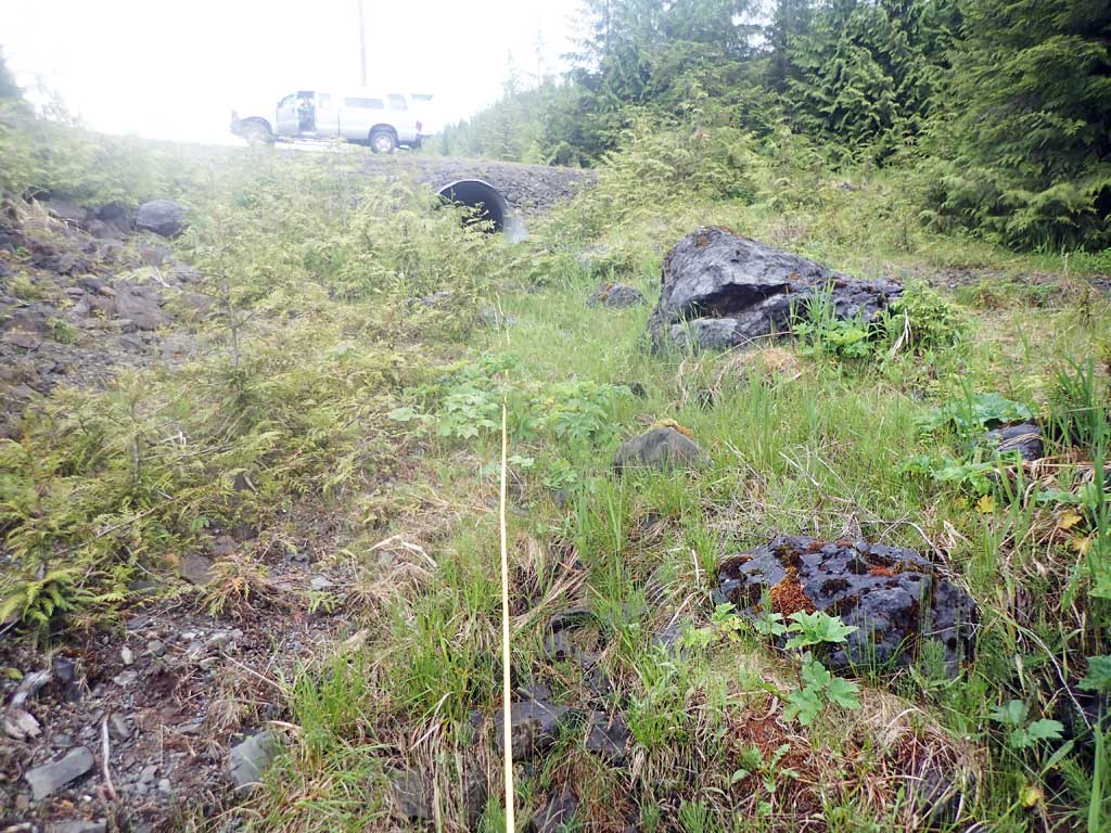
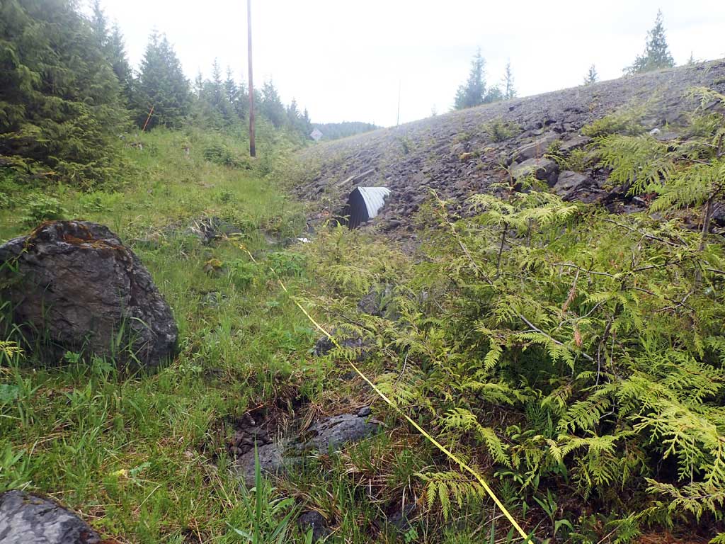
Comments: Subsurface flow from inlet to outlet. Flows subsurface from upstream of culvert to a point just below this culvert outlet. Does have surface flow at times. Stream gradient taken from NPW01. for fish info see NPW01.
Culvert Measurements
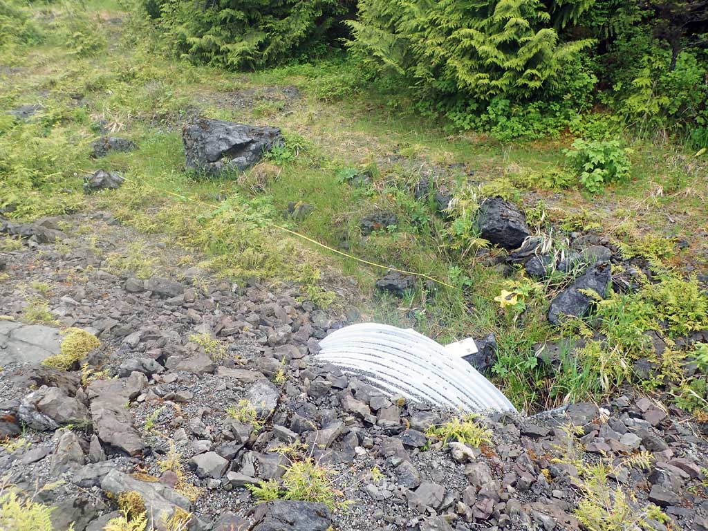
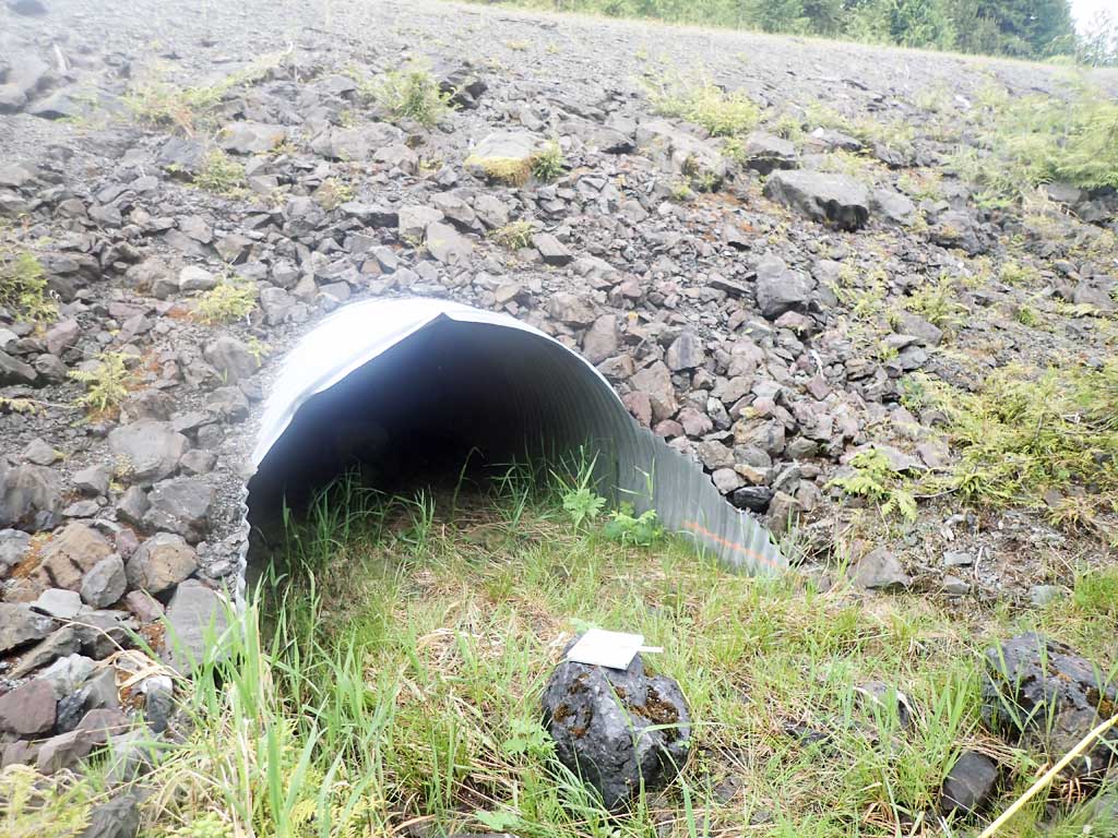
| ID: 1 | Structure Type: Circular pipe (Corrugated steel) | Fish Passage Rating: | ||||||||||||||||||||||||||||||||||||||||||
|
|
|
||||||||||||||||||||||||||||||||||||||||||
Comments: No water in pipe. Top of culvert length 75.8 |
||||||||||||||||||||||||||||||||||||||||||||
Culvert Observations:
|
||||||||||||||||||||||||||||||||||||||||||||
Stream Measurements
|
|
| Stream Width Type | Distance From Crossing (ft) |
Stream Width (ft) |
|---|---|---|
| Downstream ordinary high water | 50.0 | 3.40 |
| Downstream ordinary high water | 100.0 | 5.00 |
| Downstream ordinary high water | 150.0 | 3.20 |
Elevations
| Locator ID | Culvert Number |
River Distance (ft)1 |
Distance From Crossing (ft)2 |
Relative Elevation (ft) |
|---|---|---|---|---|
| Road Elev | 101.84 | |||
| D/S Grade Ctrl (Thalweg) | 0.00 | 84.76 | ||
| D/S Water Surface Elev | 0.00 | 84.86 | ||
| D/S Tailcrest or 1st Thalweg | 26.00 | 85.02 | ||
| D/S Water Surface Elev | 26.00 | 85.39 | ||
| D/S Water Surface Elev | 39.00 | 86.26 | ||
| Outlet Invert (just below invert as invert dry) | 39.00 | 85.27 | ||
| Outlet Culvert Top | 47.00 | 92.59 | ||
| Inlet Culvert Top | 122.80 | 92.86 | ||
| Inlet Culvert Invert (dry) | 128.80 | 87.72 | ||
| U/S Grade Ctrl (Thalweg) (dry) | 163.80 | 90.11 |
Notes:
- River distance is measured continuously throughout the survey reach along the thalweg of the stream.
- Measured from each end of the crossing along the thalweg of the stream.
Fish Sampling Efforts
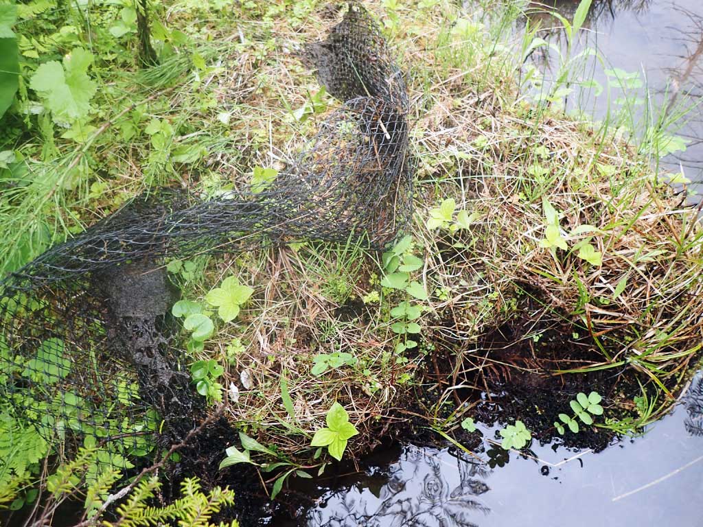
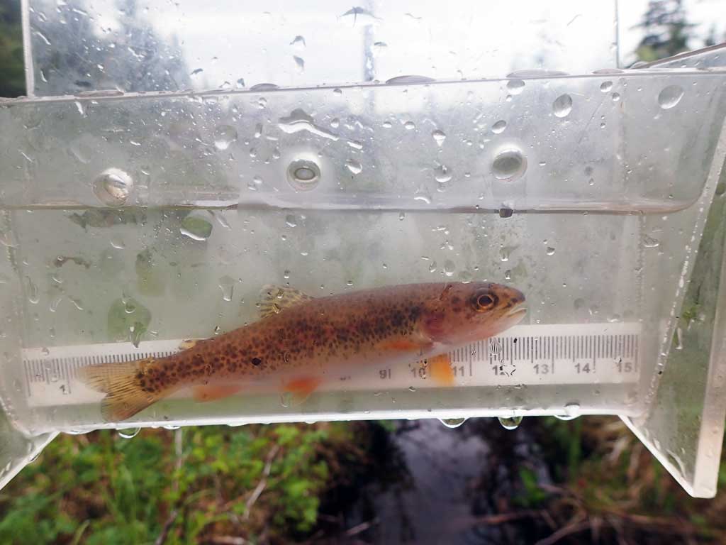
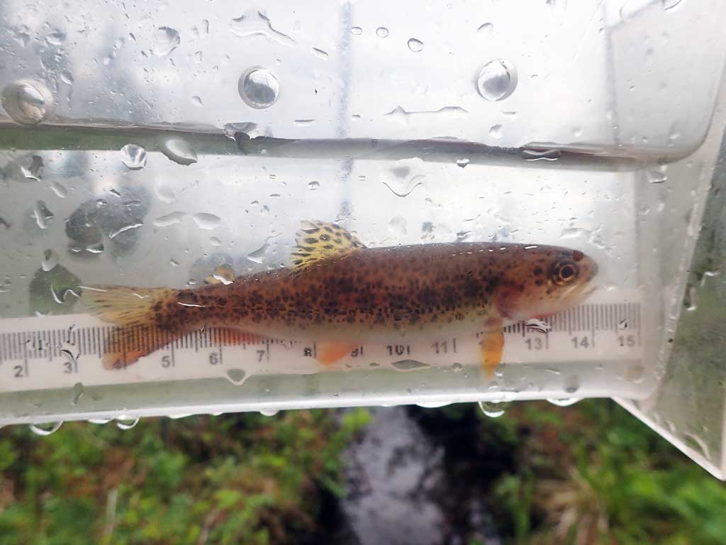
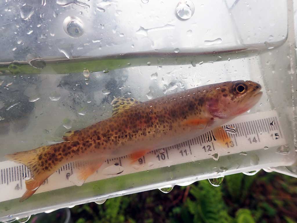
| Gear Type: Minnow Trap (A) | Trap Duration(h): 4.45 | |
| Comments: No fish caught downstream. One cutthroat trout caught upstream of upstream culvert. | ||
Fish Observations
No fish observations occurred during this survey.
Photos
Questions or comments about this report can be directed to dfg.dsf.webmaster@alaska.gov