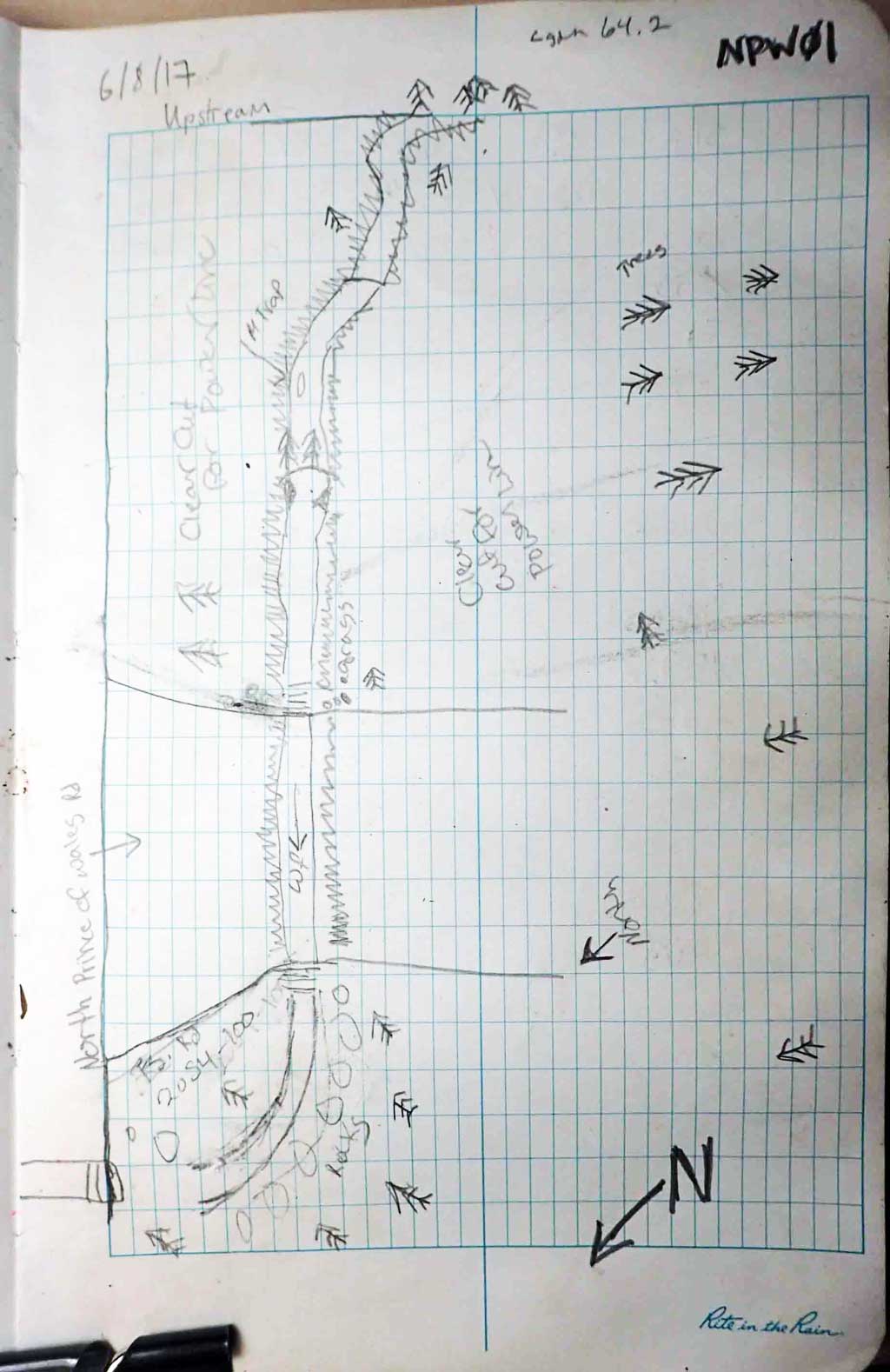
Fish Passage Site 10103567
Coordinates (dec. deg.): 55.85359°, -133.06767°
Legal Description: C069S080E25
Region: Southeast
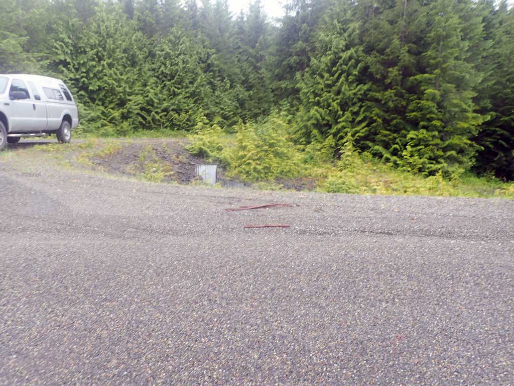
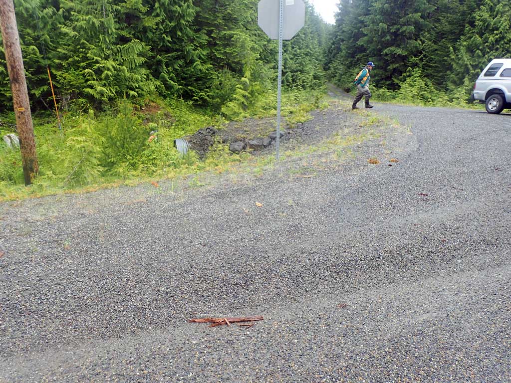
Road Name: North Prince of Wales Road
Datum: NAD83
Quad Name / ITM: Craig D-4
AWC Stream #:
Stream Name: Unnamed
Elevation:
Site Comments: None
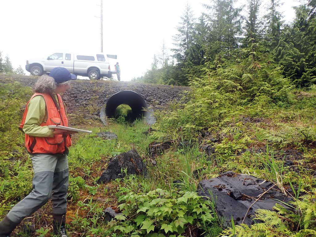
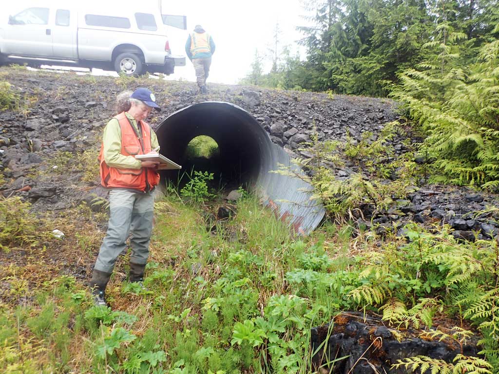
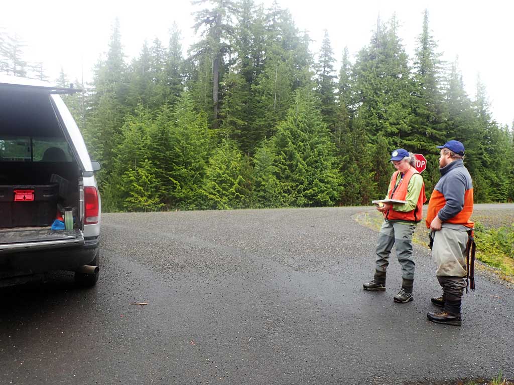
Survey SEA17-NPW01
Observers: Mark Eisenman, Elizabeth Flory, Kelly Petty
Overall Fish Passage Rating:
Tidal: No
Backwatered: No
Step Pools: No
Construction Year:
Site Observations:
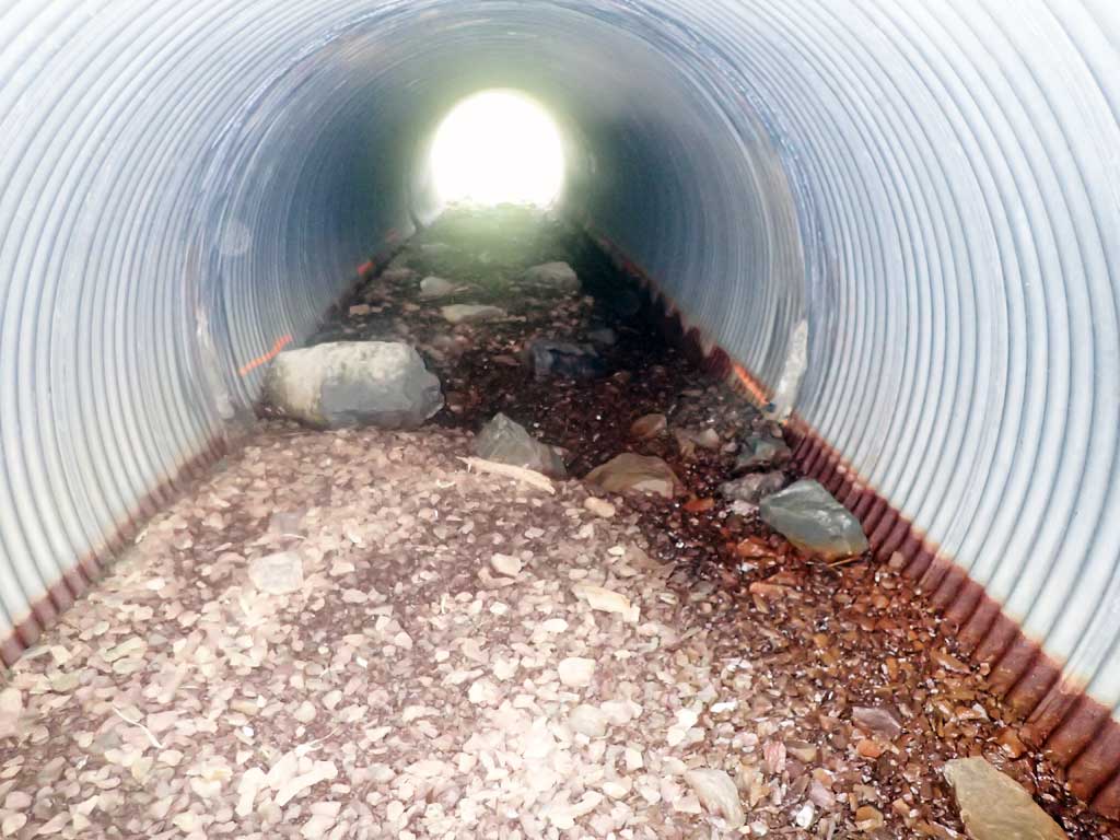
- Improper bedding
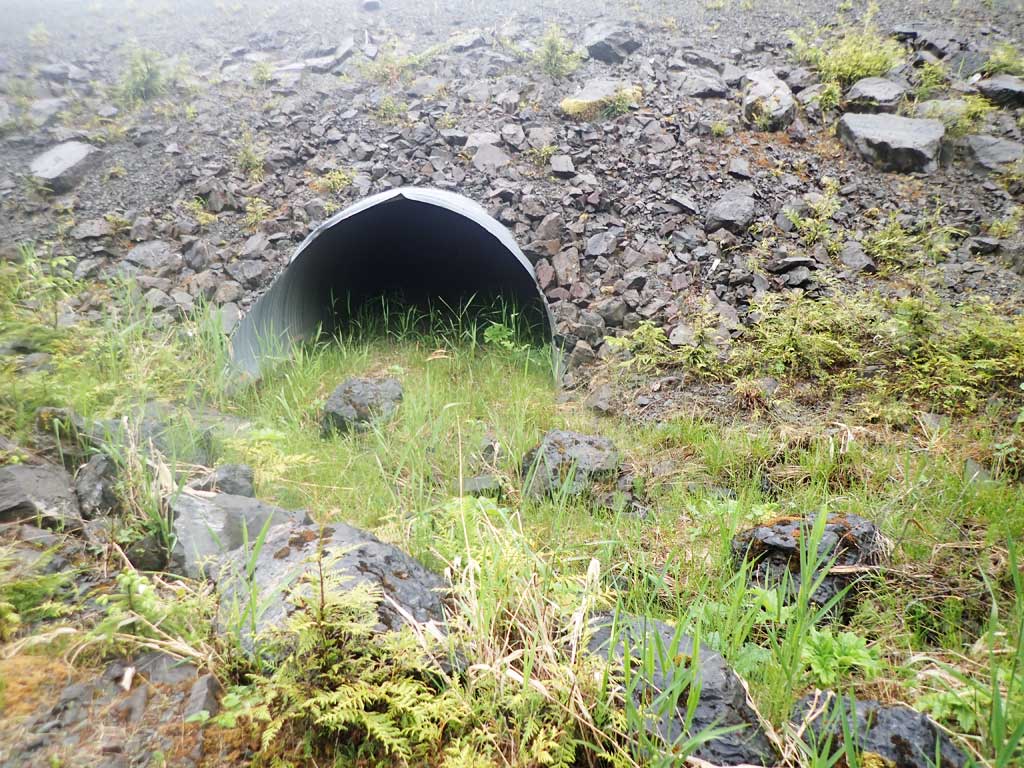
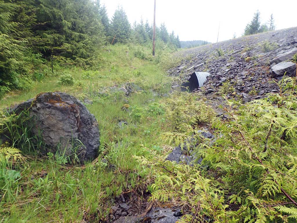
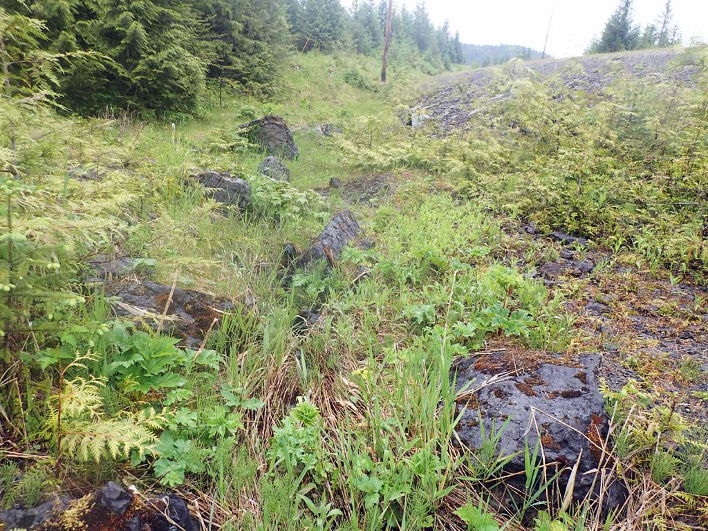
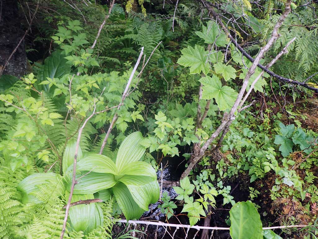
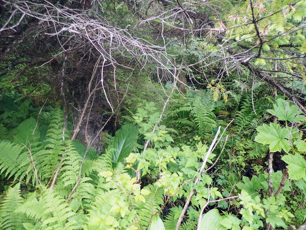
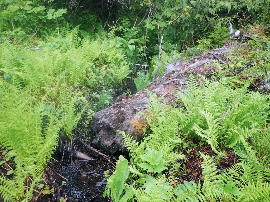
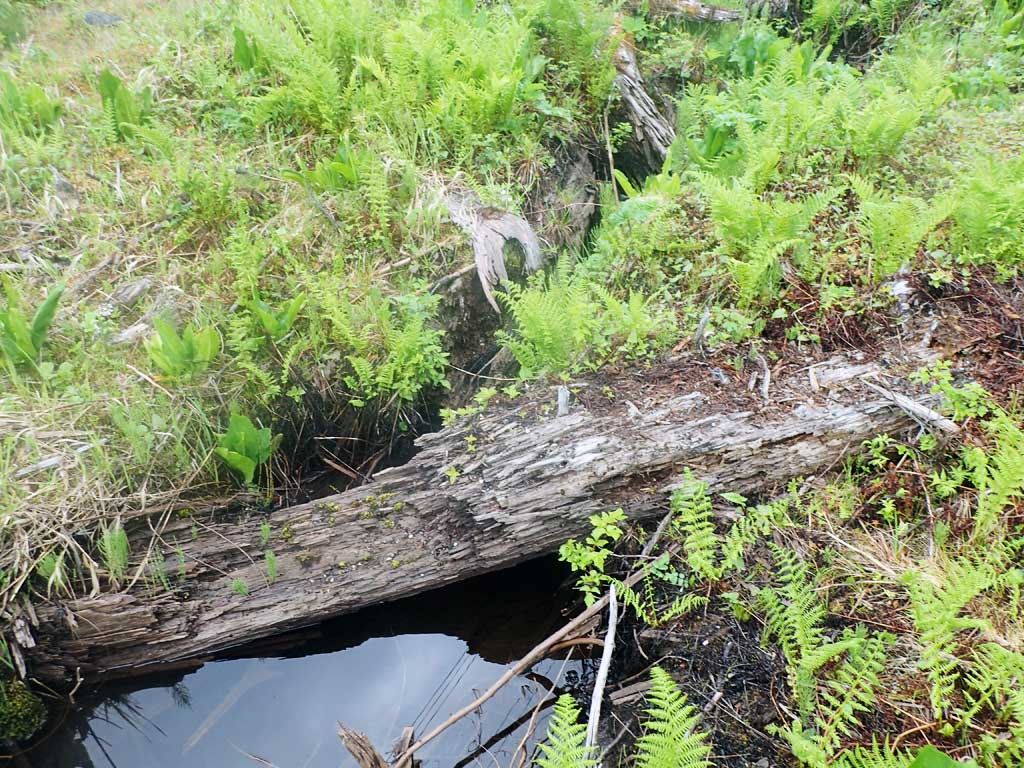
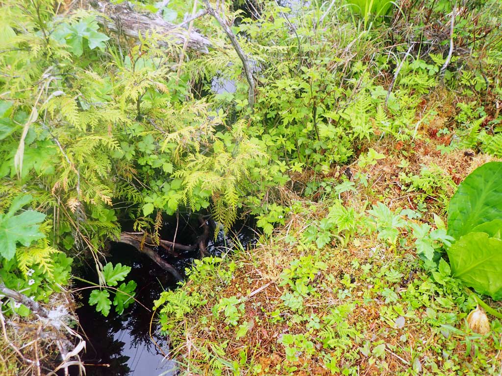
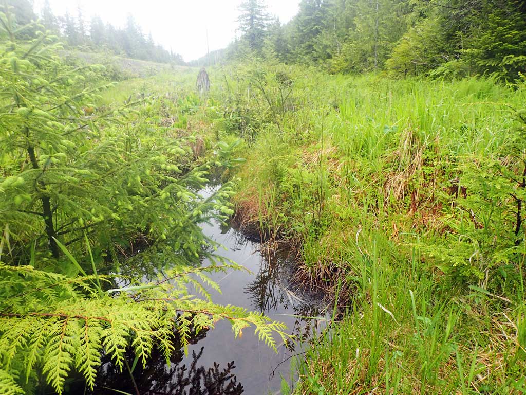
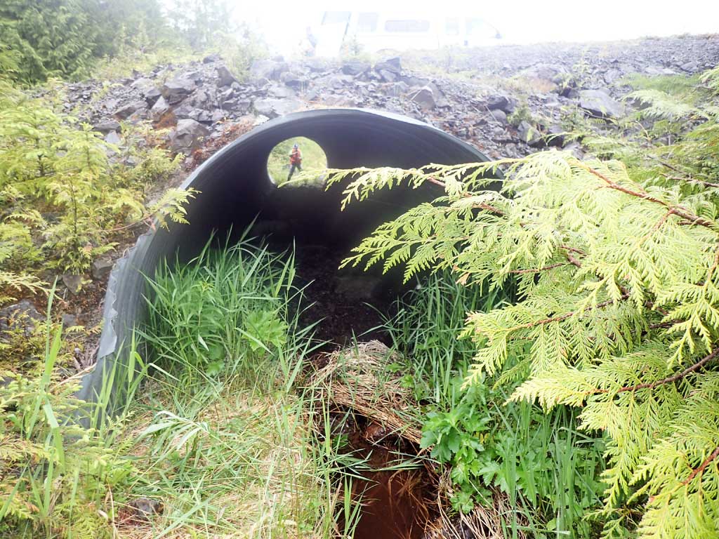
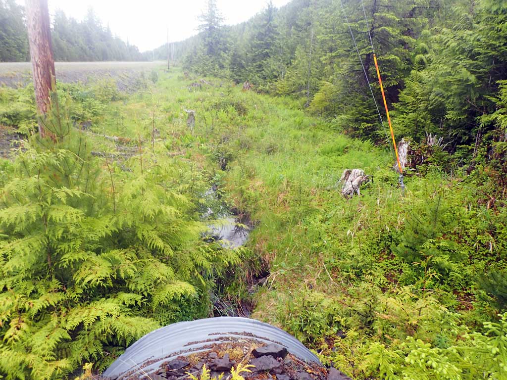
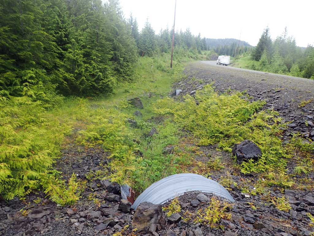
Comments: Flow goes subsurface in pipe at inlet, dry at outlet.NPW02 is 50ft downstream. Upstream trap set above culvert 130 (this site) and downstream trap set below NPW02, traps soaked for both sites. Small fish observed upstream.
Culvert Measurements
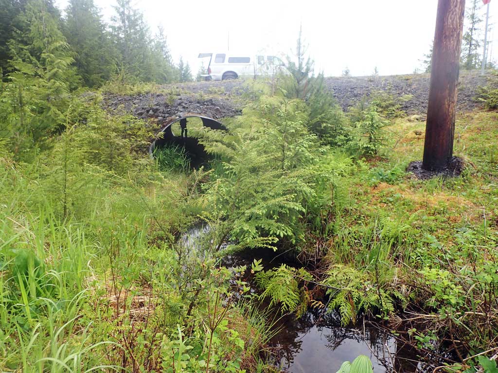
| ID: 1 | Structure Type: Circular pipe (Corrugated steel) | Fish Passage Rating: | ||||||||||||||||||||||||||||||||||||||||||
|
|
|
||||||||||||||||||||||||||||||||||||||||||
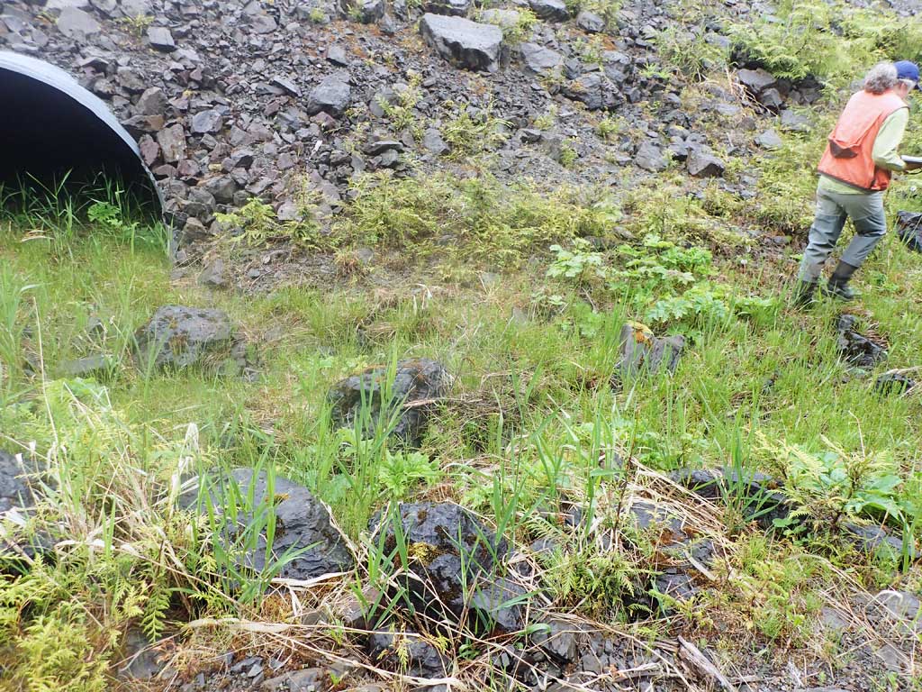
Comments: Scouring at inlet and outlet. Length given is end of mitres Gravel at inlet and outlet looks like road material. Not much fill on top, pipe looks flattended in middle. Top of culvert length = 64.2'. |
||||||||||||||||||||||||||||||||||||||||||||
Culvert Observations:
|
||||||||||||||||||||||||||||||||||||||||||||
Stream Measurements
|
|
| Stream Width Type | Distance From Crossing (ft) |
Stream Width (ft) |
|---|---|---|
| Upstream ordinary high water | 40.0 | 2.60 |
| Upstream ordinary high water | 80.0 | 2.80 |
| Upstream ordinary high water | 120.0 | 2.40 |
Elevations
| Locator ID | Culvert Number |
River Distance (ft)1 |
Distance From Crossing (ft)2 |
Relative Elevation (ft) |
|---|---|---|---|---|
| Road Elev | 104.04 | |||
| D/S Grade Ctrl (Thalweg) (At inlet of downstream culvert) | 0.00 | 88.08 | ||
| D/S Water Surface Elev | 0.00 | 90.98 | ||
| Outlet Invert (dry) | 71.00 | 92.95 | ||
| Top of Pipe Outlet | 79.00 | 100.00 | ||
| Inlet Culvert Top | 143.20 | 100.17 | ||
| Inlet Culvert Invert (on substrate) | 151.20 | 94.49 | ||
| U/S Water Surface Elev | 151.20 | 94.66 | ||
| U/S Grade Ctrl (Thalweg) | 157.20 | 95.02 | ||
| U/S Water Surface Elev | 157.20 | 94.40 | ||
| U/S Grade Ctrl (Thalweg) | 184.20 | 95.77 | ||
| D/S Water Surface Elev | 184.20 | 95.94 | ||
| U/S Grade Ctrl (Thalweg) | 291.20 | 97.39 | ||
| U/S Water Surface Elev | 291.20 | 97.61 |
Notes:
- River distance is measured continuously throughout the survey reach along the thalweg of the stream.
- Measured from each end of the crossing along the thalweg of the stream.
Fish Sampling Efforts
| Gear Type: Minnow Trap (A) | Trap Duration(h): 4.75 | |
| Comments: cutthroat 60ft upstream | ||
Fish Observations
| Species: juvenile cutthroat trout | Life History: Unknown | ||
| Total Fish Observed: 1 | Fish Measured: 1 | Fork Lengths (mm) Min: 109 Max: 109 Mean: 109 | |
| Collected/Observed by Gear Type: Upstream Minnow Trap (1) | |||
Photos


Questions or comments about this report can be directed to dfg.dsf.webmaster@alaska.gov