Fish Passage Site 10103566
Coordinates (dec. deg.): 55.57777°, -133.06123°
Legal Description: C072S081E31
Region: Southeast
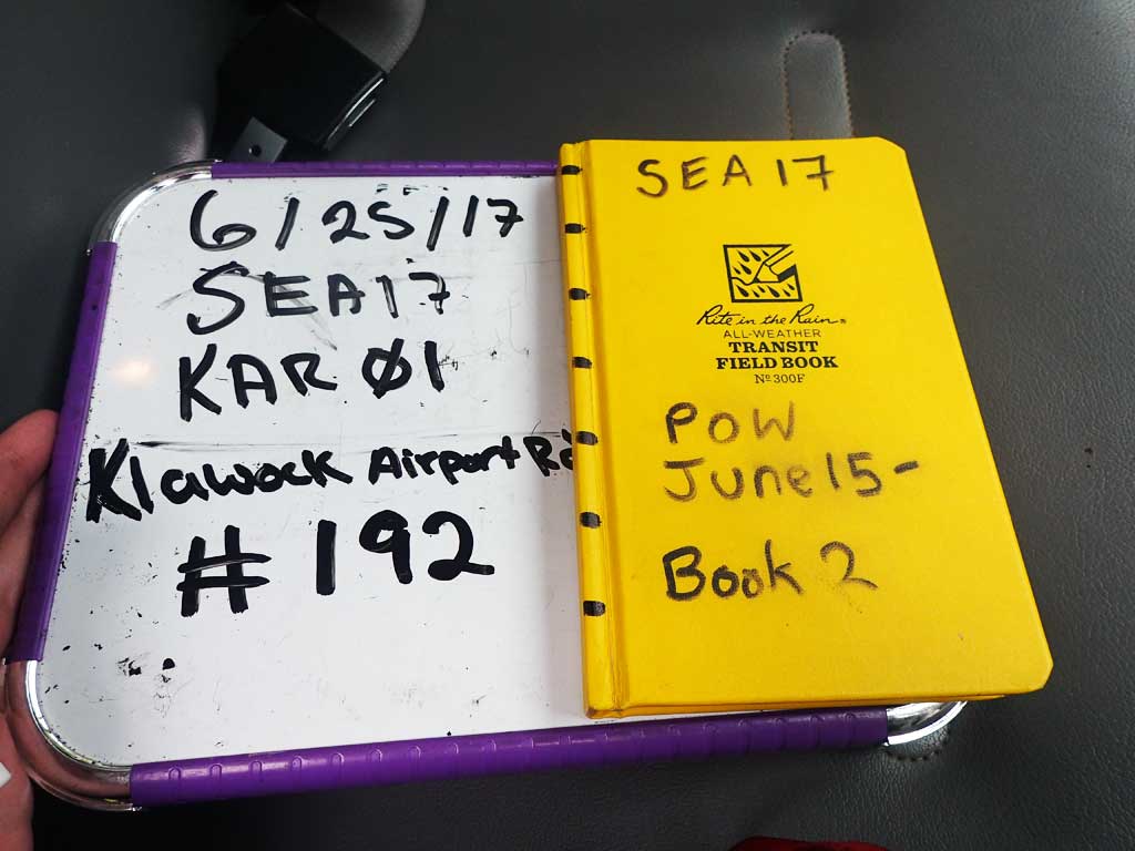
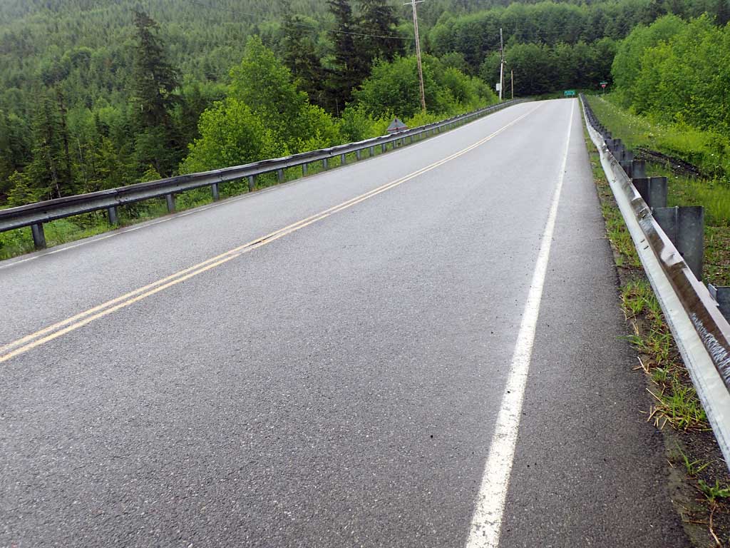
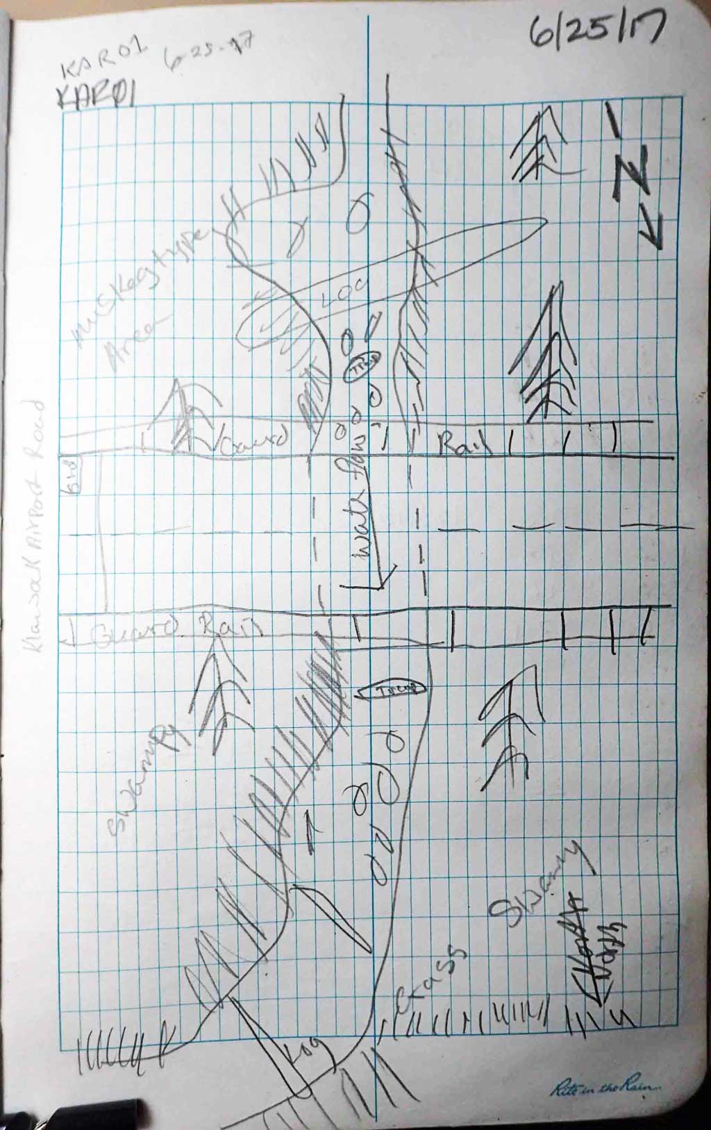
Road Name: Klawock Airport Road
Datum: NAD83
Quad Name / ITM: Craig C-4
AWC Stream #: 103-60-10400
Stream Name: Airport Creek North
Elevation:
Site Comments: None
Survey SEA17-KAR01
Observers: Elizabeth Flory, Kelly Petty
Overall Fish Passage Rating:
Tidal: No
Backwatered: No
Step Pools: No
Construction Year:
Site Observations:
- Constriction ratio gray
- Culvert gradient gray
- Sediment accumulation
- Culvert sagging in middle
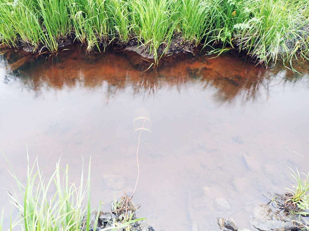
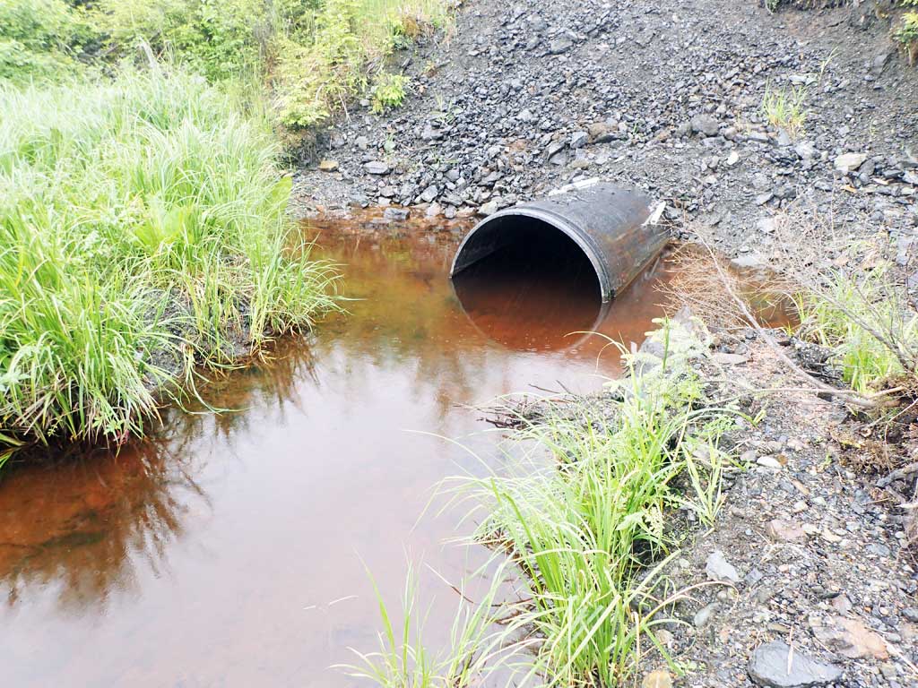
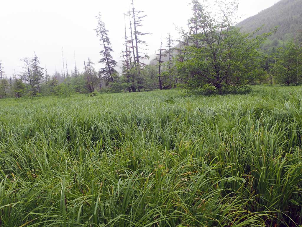
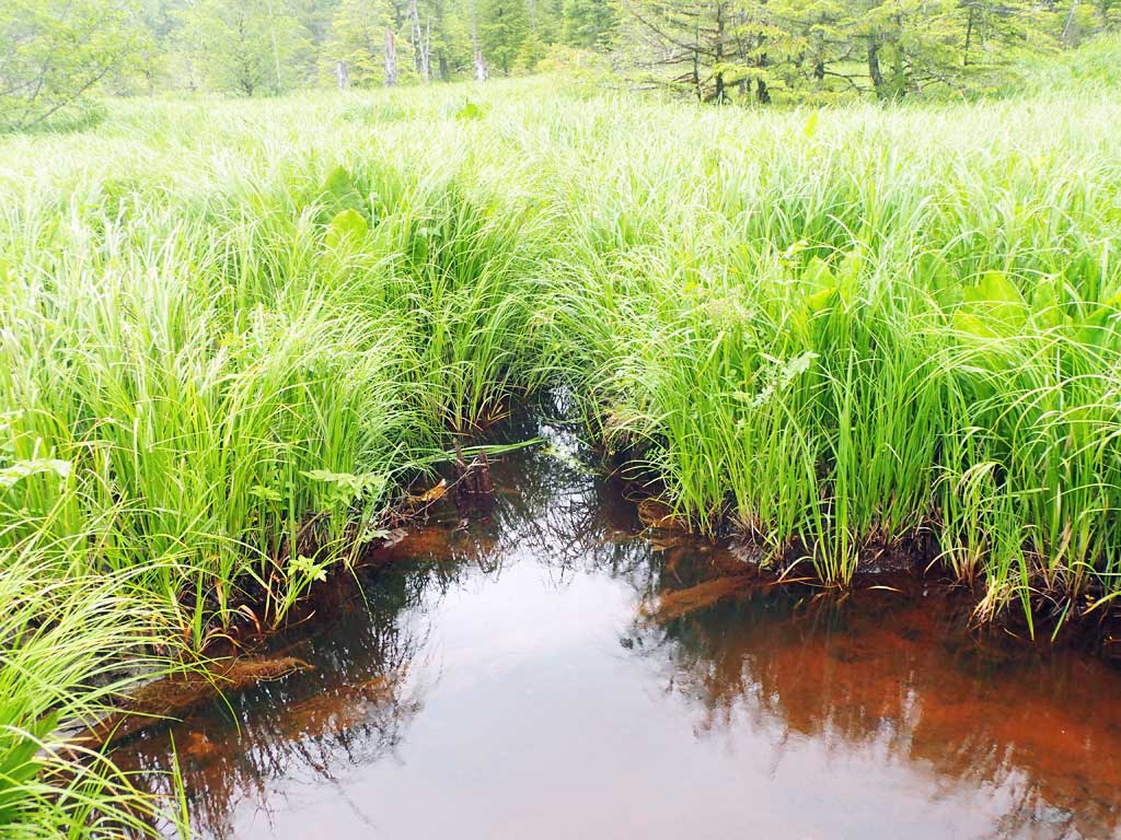
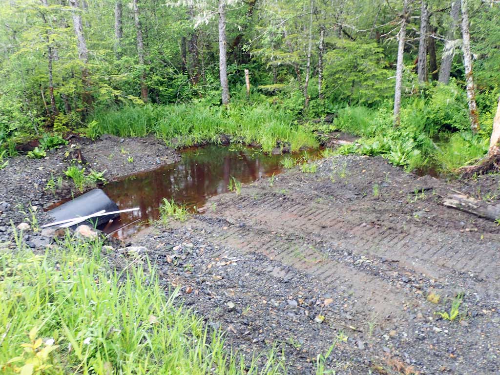
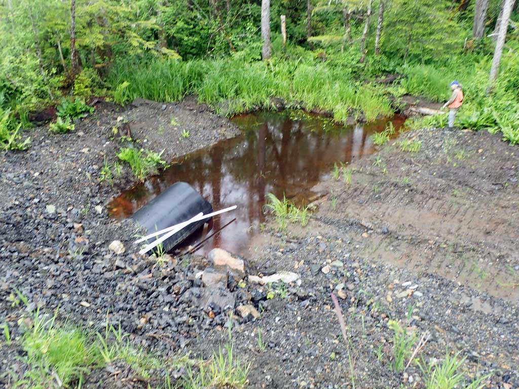
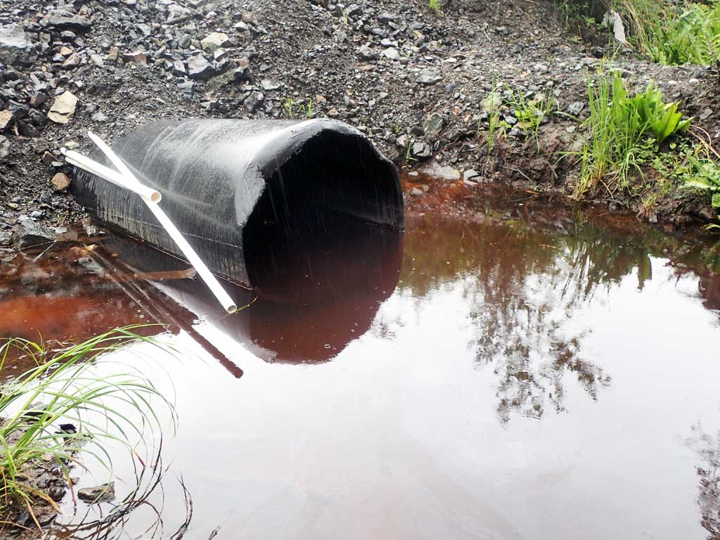
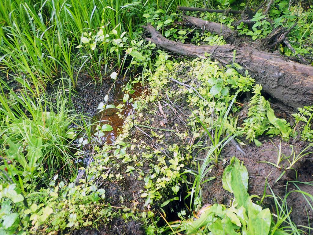
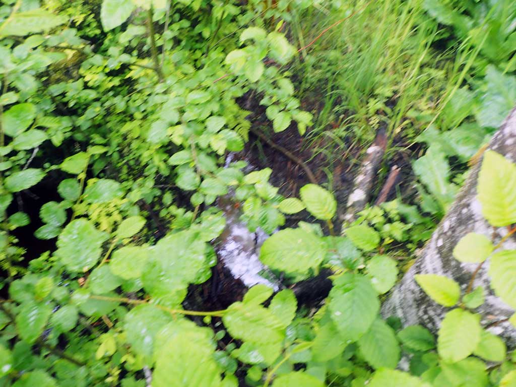
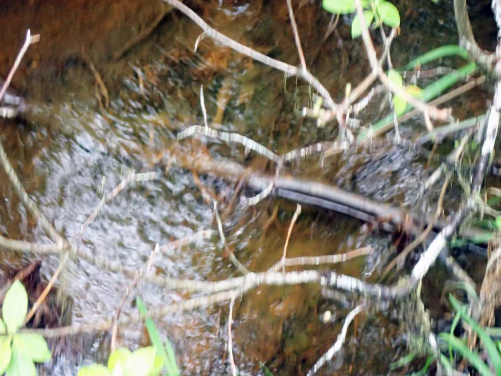
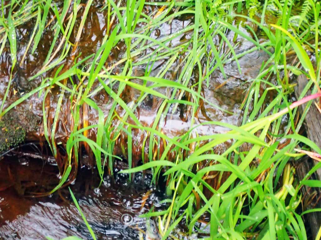
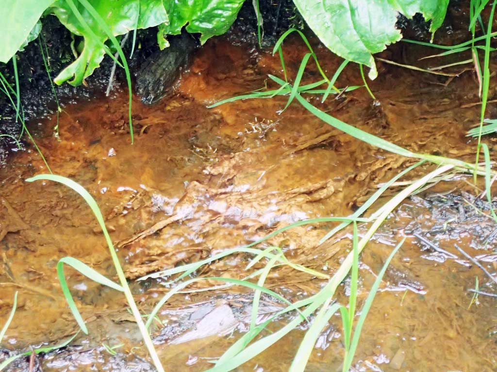
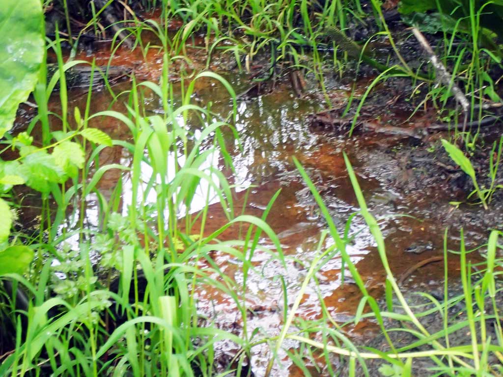
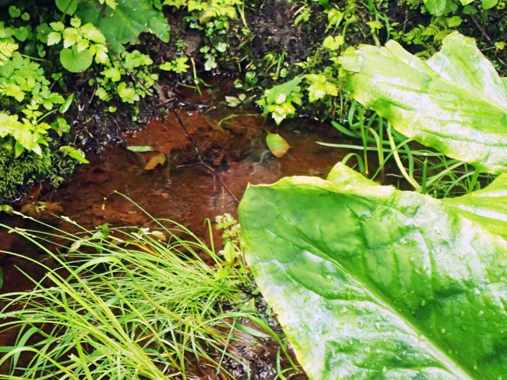
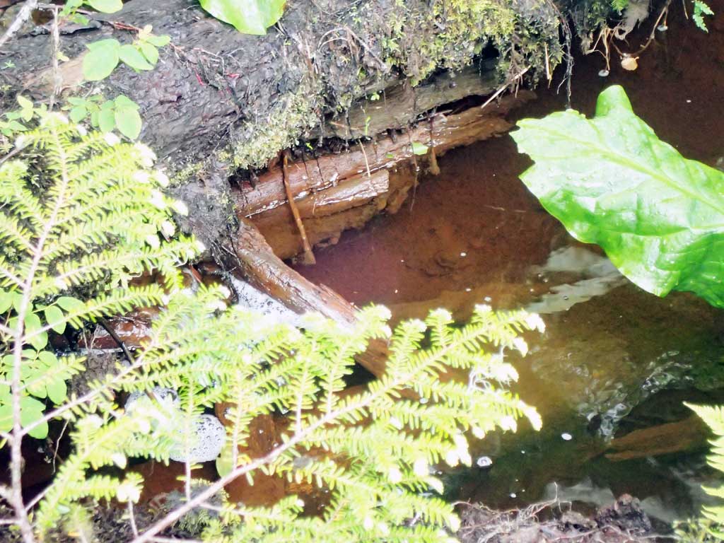
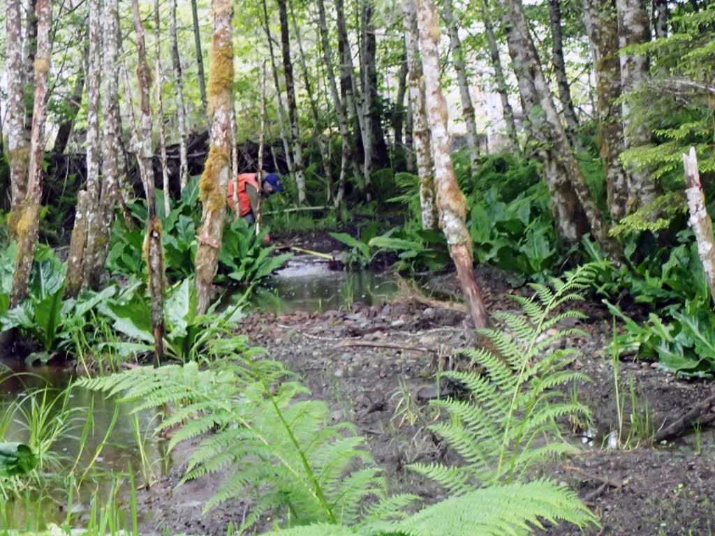
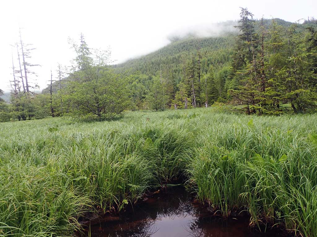
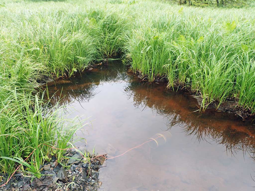
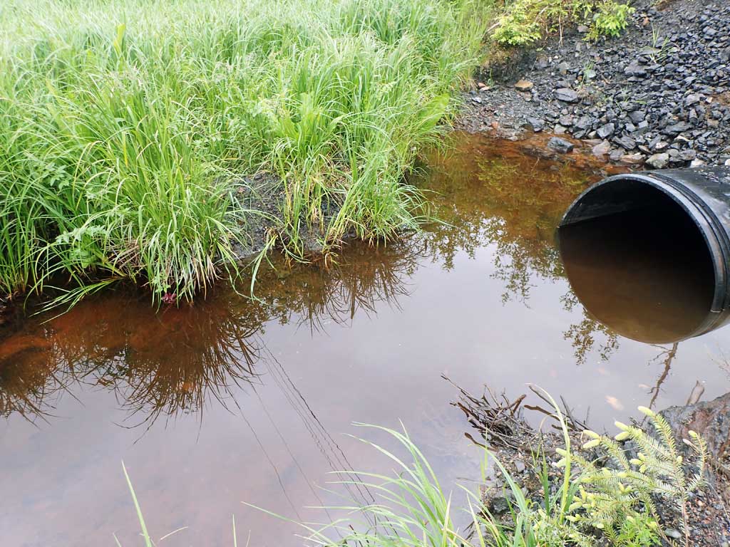
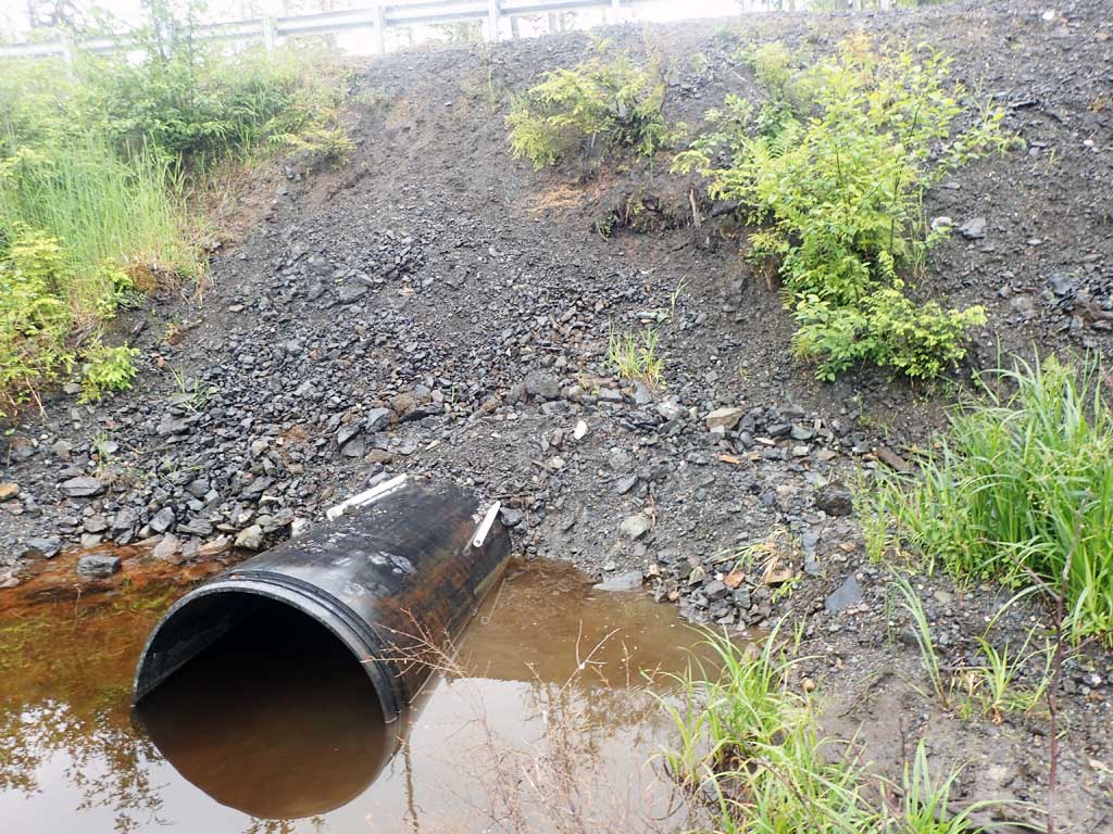
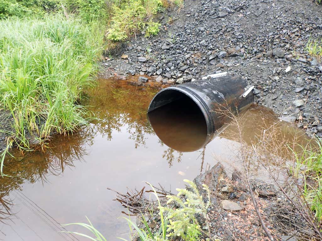
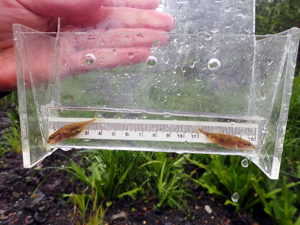
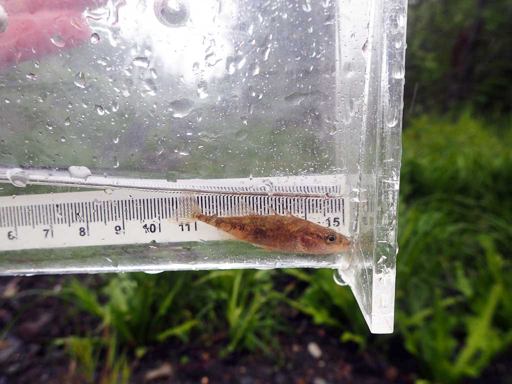
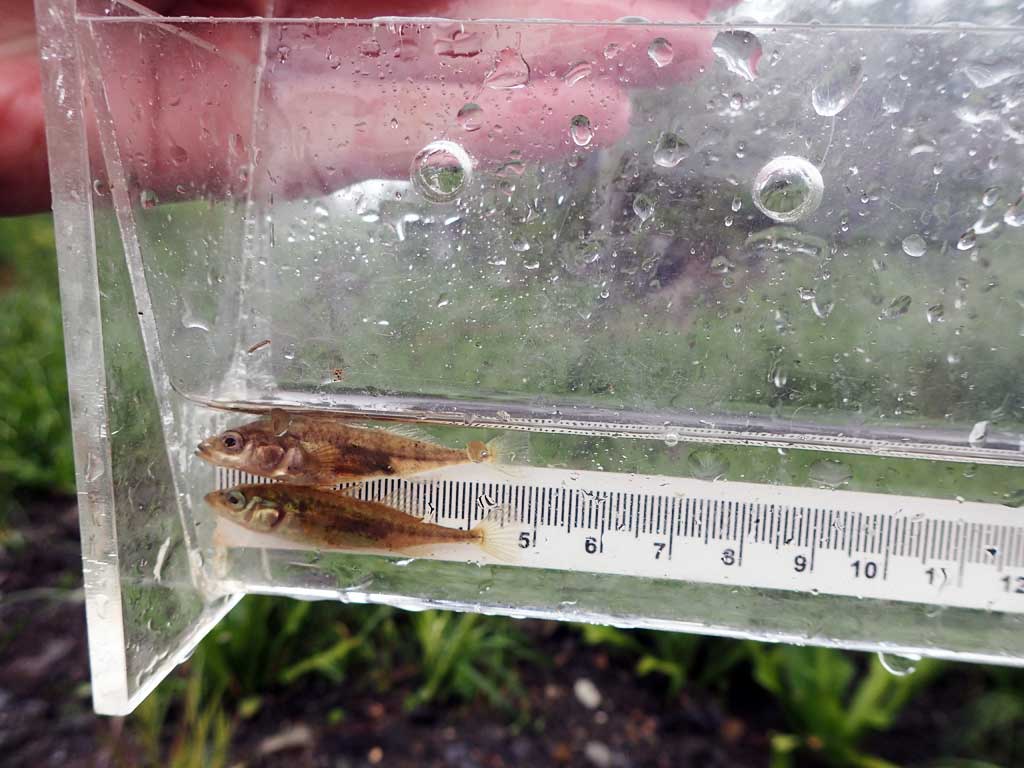
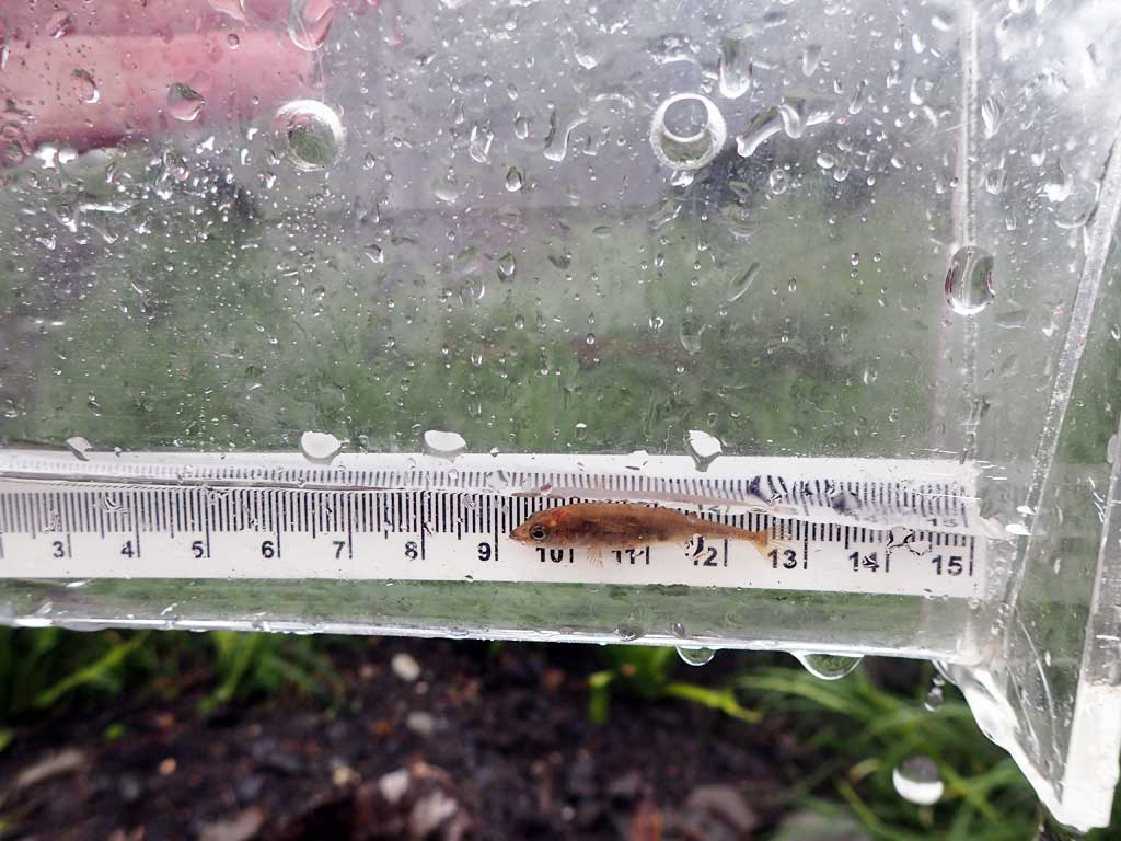
Comments: Nice habitat upstream, pools with large woody debris, grassy meadow, pond. Caterpillar has been driven down to inlet and outlet recently. Downstream low gradient grassy marsh. Stickleback captured downstream, coho upstream.
Culvert Measurements
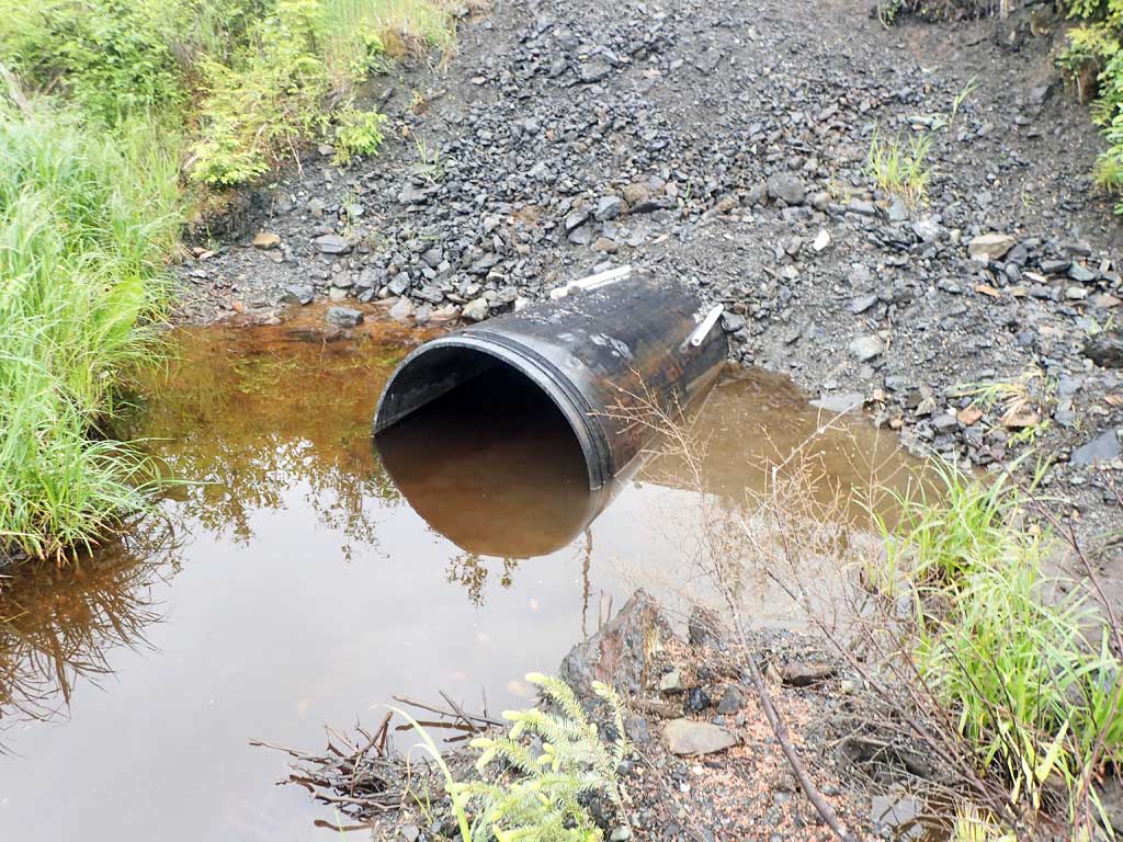
| ID: 1 | Structure Type: Circular pipe (Corrugated plastic) | Fish Passage Rating: | |||||||||||||||||||||||||||||||||||||||||
|
|
|
|||||||||||||||||||||||||||||||||||||||||
Comments: Smooth non-corrugated black plastic pipe. Pipe low in middle. Cannot see through pipe. Could be blocked with sediment. Pipe may be broken or filled with sediment, cannot see through. Inlet and Outlet pipe ends both raised up. |
|||||||||||||||||||||||||||||||||||||||||||
Culvert Observations:
|
|||||||||||||||||||||||||||||||||||||||||||
Stream Measurements
|
|
| Stream Width Type | Distance From Crossing (ft) |
Stream Width (ft) |
|---|---|---|
| Upstream ordinary high water | 100.0 | 5.50 |
| Upstream ordinary high water | 110.0 | 5.75 |
| Upstream ordinary high water | 130.0 | 7.80 |
Elevations
| Locator ID | Culvert Number |
River Distance (ft)1 |
Distance From Crossing (ft)2 |
Relative Elevation (ft) |
|---|---|---|---|---|
| Road Elev | 114.97 | |||
| D/S Grade Ctrl (Thalweg) | 0.00 | 97.58 | ||
| D/S Water Surface Elev | 0.00 | 97.87 | ||
| Max Pool Depth | 12.00 | 95.53 | ||
| D/S Water Surface Elev | 12.00 | 96.00 | ||
| Outlet Invert (on pipe) | 35.00 | 95.83 | ||
| D/S Water Surface Elev | 35.00 | 97.73 | ||
| Outlet Culvert Top | 35.00 | 100.00 | ||
| Inlet Culvert Top | 115.00 | 100.83 | ||
| Inlet Culvert Invert | 115.00 | 96.47 | ||
| U/S Water Surface Elev | 115.00 | 98.13 | ||
| U/S Water Surface Elev | 134.00 | 98.04 | ||
| U/S Grade Ctrl (Thalweg) | 134.00 | 96.41 | ||
| U/S Grade Ctrl (Thalweg) | 159.00 | 98.89 | ||
| U/S Water Surface Elev | 159.00 | 99.13 | ||
| U/S Grade Ctrl (Thalweg) | 222.00 | 99.41 | ||
| U/S Grade Ctrl (Thalweg) | 222.00 | 99.55 |
Notes:
- River distance is measured continuously throughout the survey reach along the thalweg of the stream.
- Measured from each end of the crossing along the thalweg of the stream.
Fish Sampling Efforts
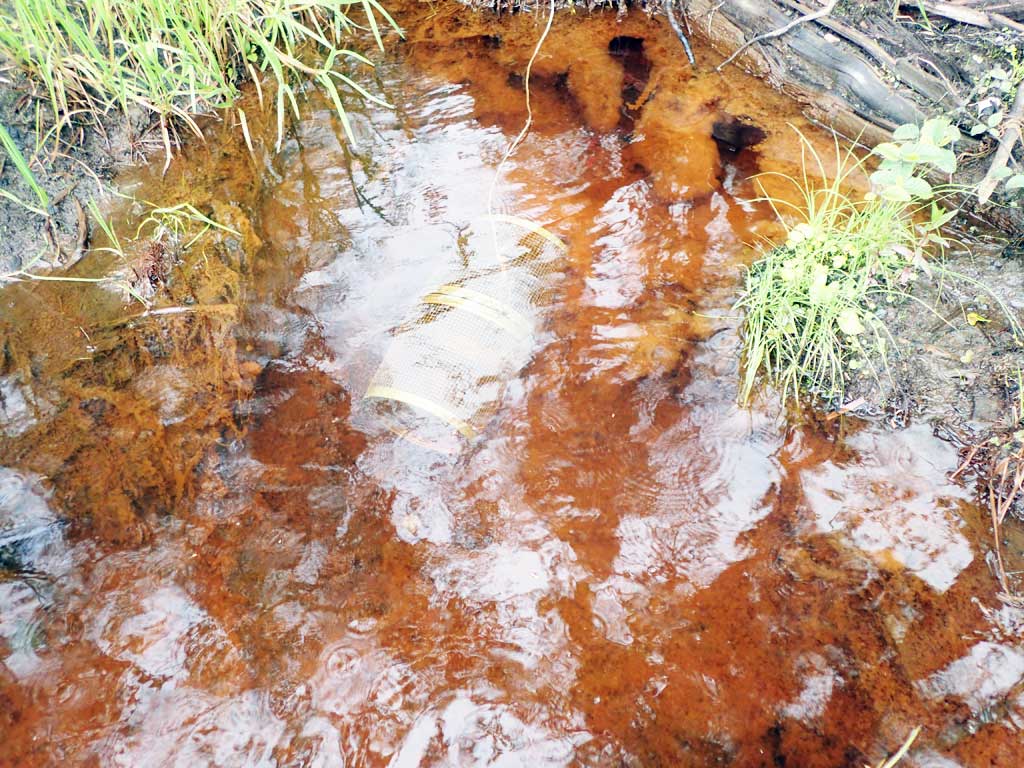
| Gear Type: Minnow Trap (A) | Trap Duration(h): 2.25 | |
| Comments: 80ft upstream, 3 coho, 9 stickleback not measured | ||
| Gear Type: Minnow Trap (B) | Trap Duration(h): 2.25 | |
| Comments: 20ft downstream,9 stickleback not measured | ||
Fish Observations
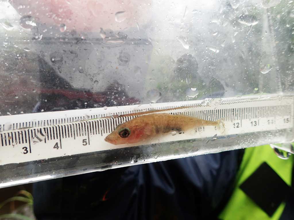
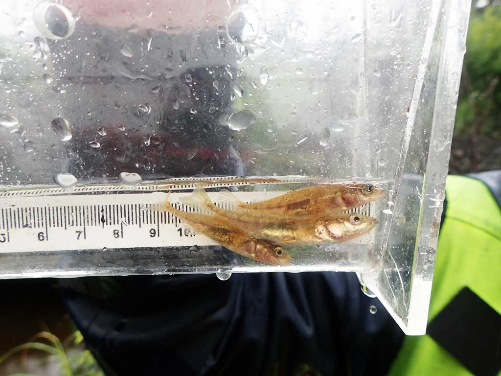
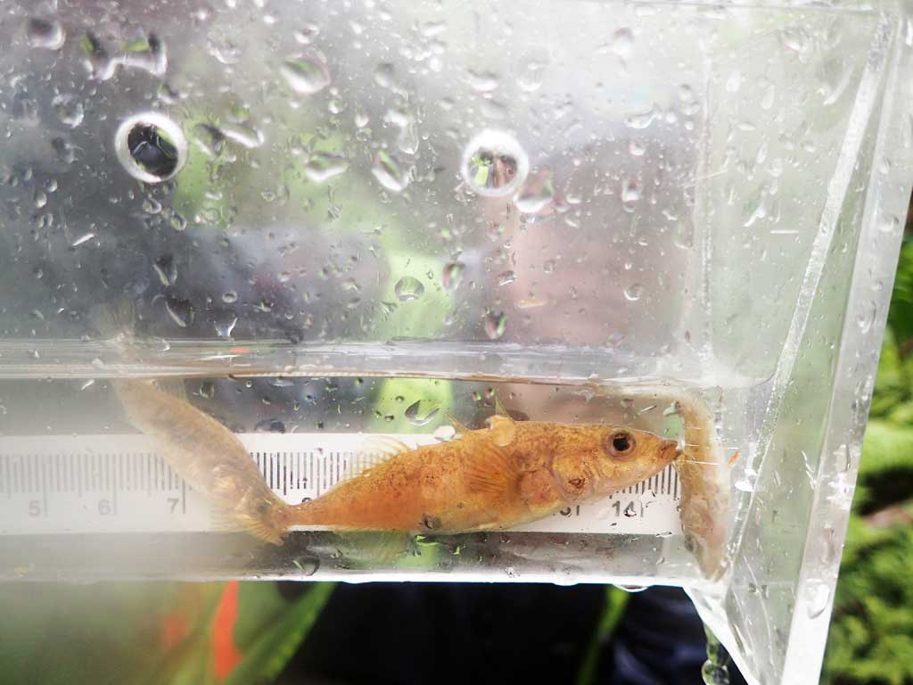
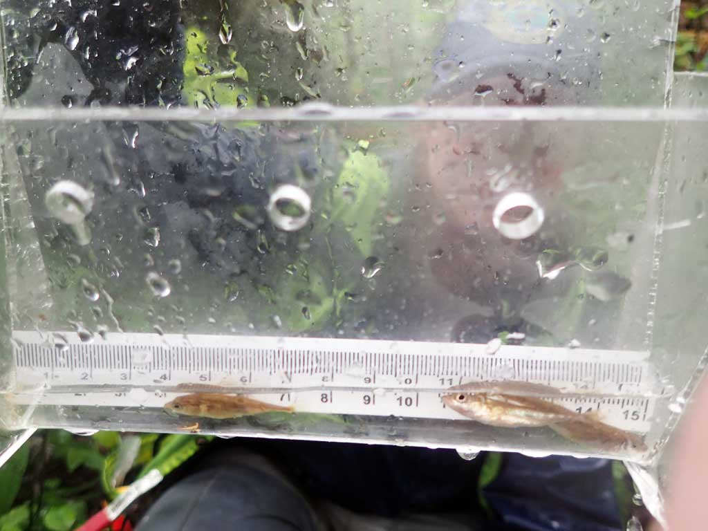
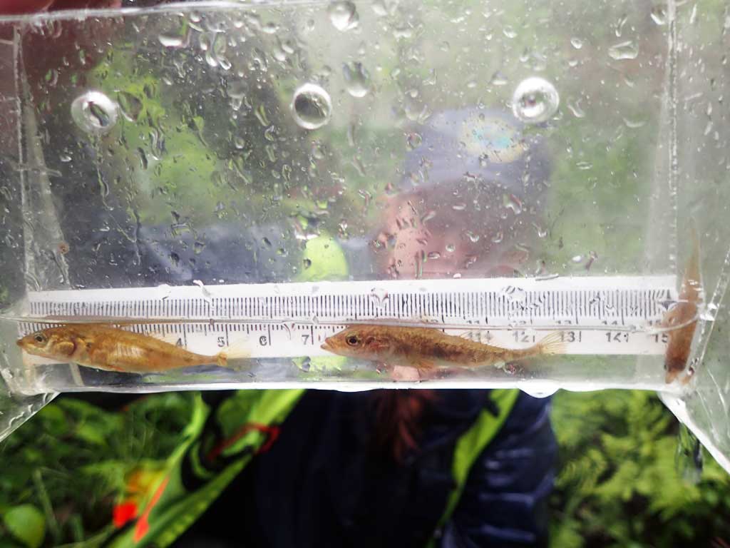
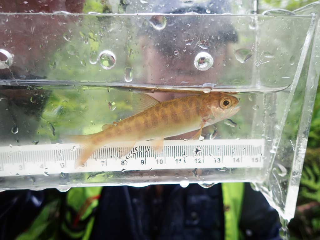
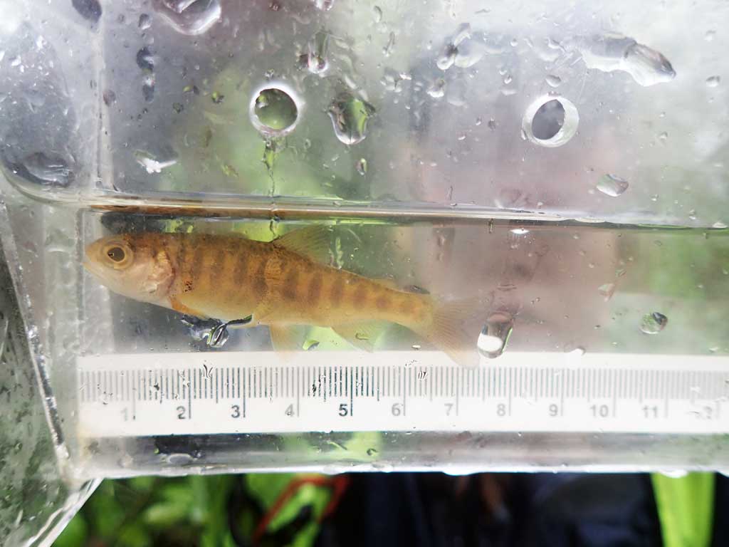
| Species: juvenile coho salmon | Life History: Anadromous | ||
| Total Fish Observed: 3 | Fish Measured: 3 | Fork Lengths (mm) Min: 70 Max: 85 Mean: 76 | |
| Collected/Observed by Gear Type: Upstream Minnow Trap (3) | |||
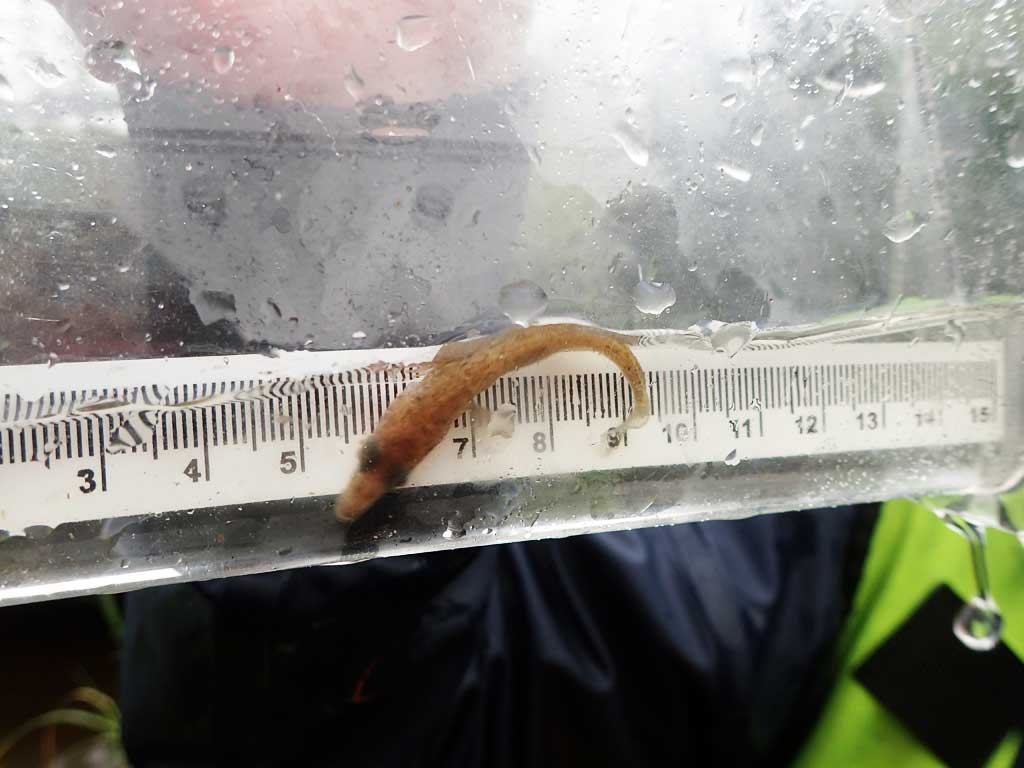
| Species: juvenile/adult stickleback-unspecified | Life History: Unknown | ||
| Total Fish Observed: 1 | Fish Measured: | Fork Lengths (mm) Min: Max: Mean: | |
| Collected/Observed by Gear Type: Downstream Minnow Trap (1) | |||
Photos
Questions or comments about this report can be directed to dfg.dsf.webmaster@alaska.gov