Fish Passage Site 10103565
Coordinates (dec. deg.): 55.50035°, -132.94049°
Legal Description: C073S082E34
Region: Southeast
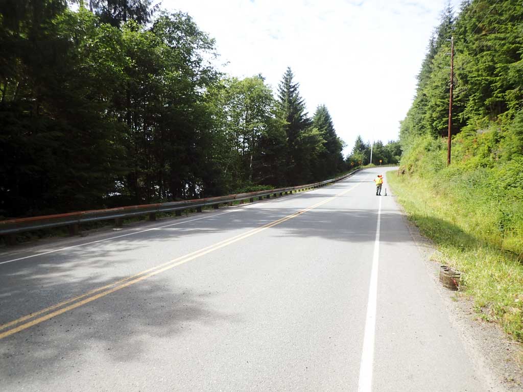
Road Name: Hollis Klawock Road
Datum: NAD83
Quad Name / ITM: Craig C-3
AWC Stream #: 103-60-10470-2135
Stream Name: Unnamed
Elevation:
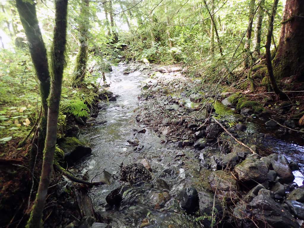
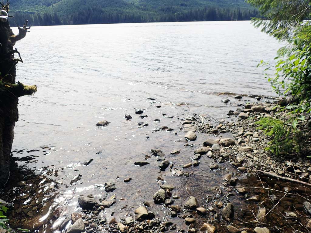
Site Comments: Site next to boat launch for Klawock Lake
Survey SEA17-HLK05
Observers: Elizabeth Flory, Kelly Petty
Overall Fish Passage Rating:
Tidal: No
Backwatered: No
Step Pools: No
Construction Year:
Site Observations:
- Culvert gradient red
- Outfall height red
- Constriction ratio gray
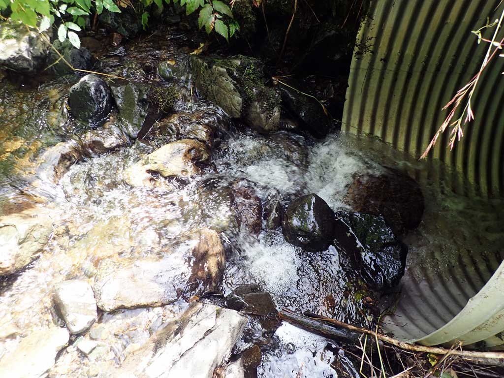
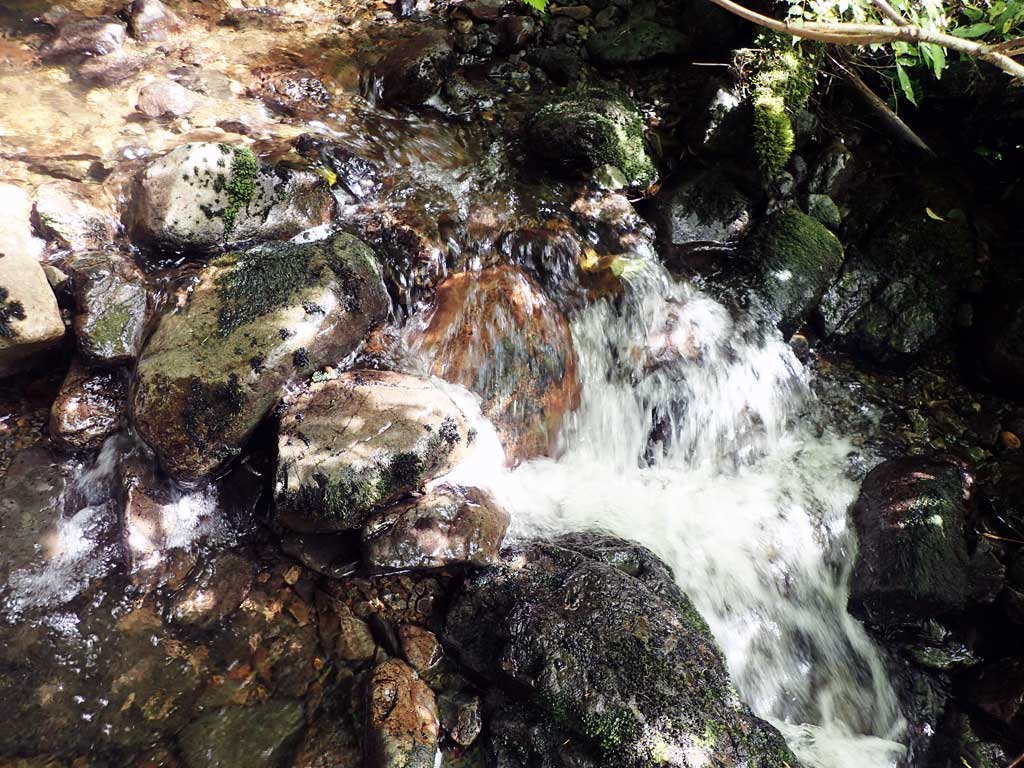
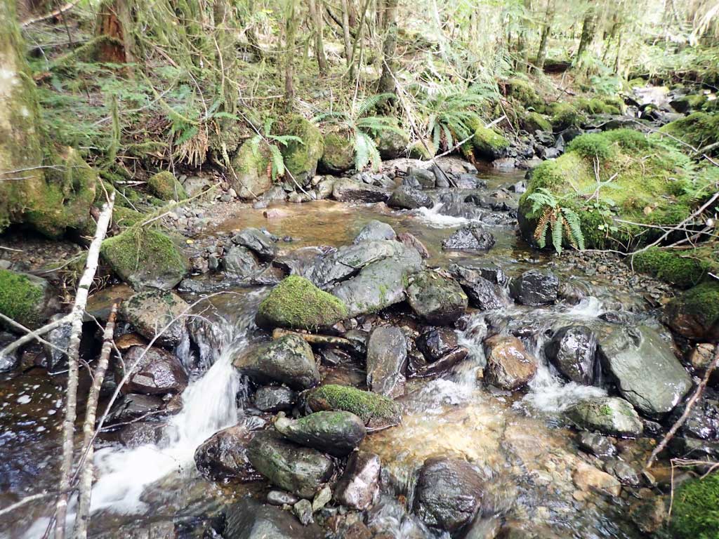
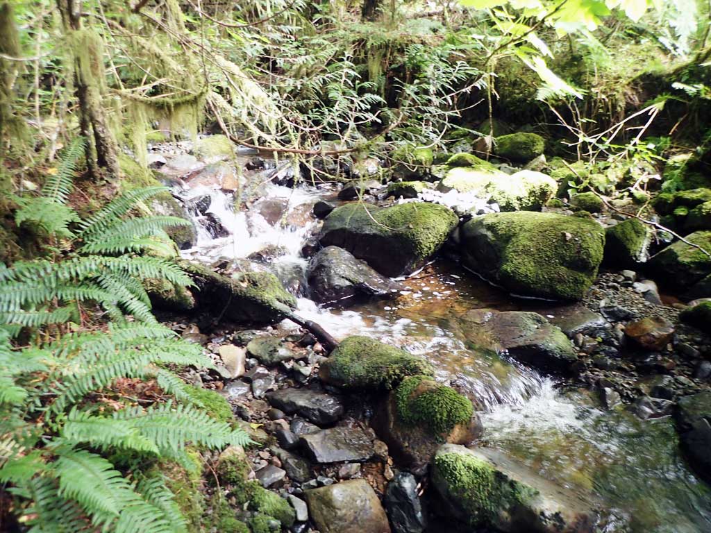
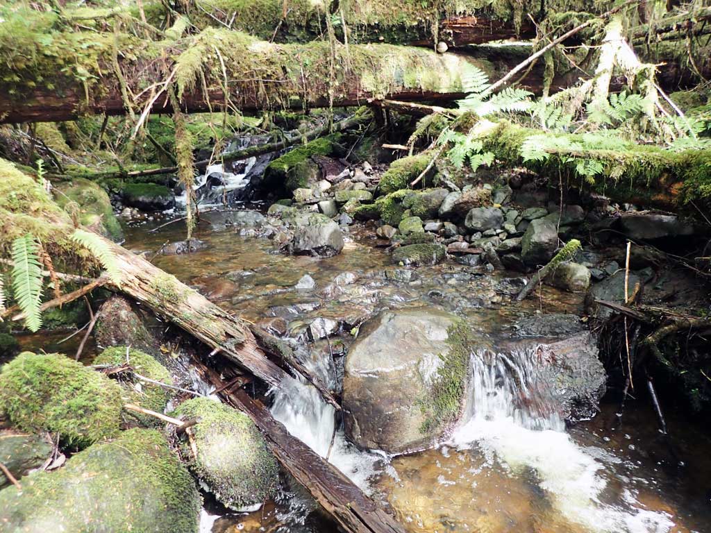
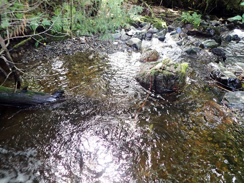
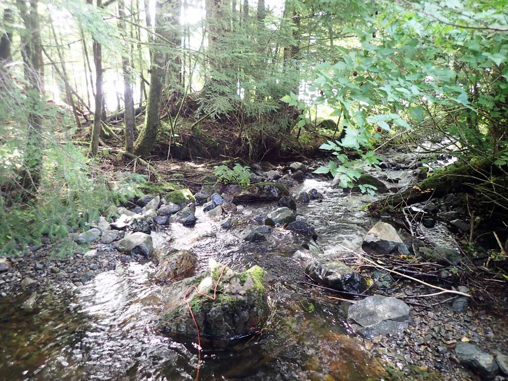
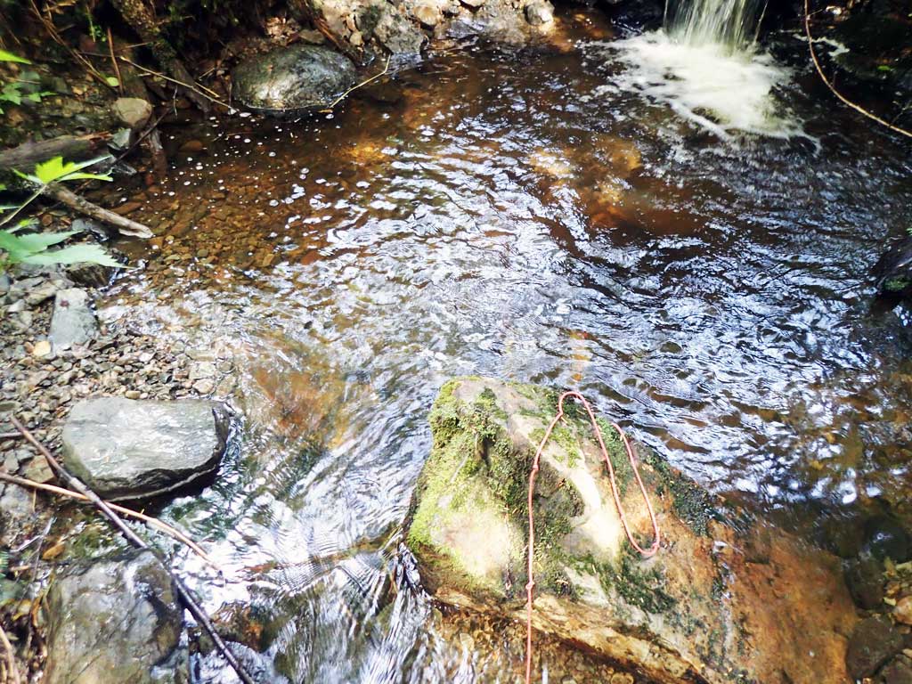
Comments: Creek runs into lake about 150 feet downstream. Stream consists mostly of cascades and step pools, estimate that stream gradient is about 4-5%, maybe a little steeper upstream.
Culvert Measurements
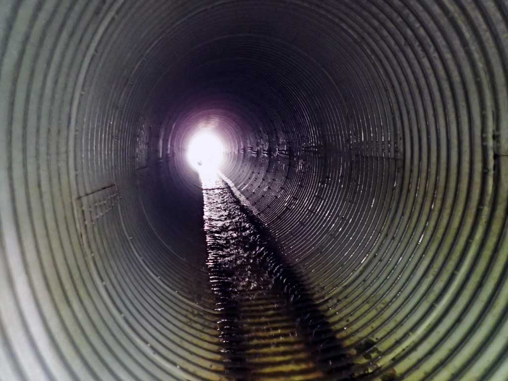
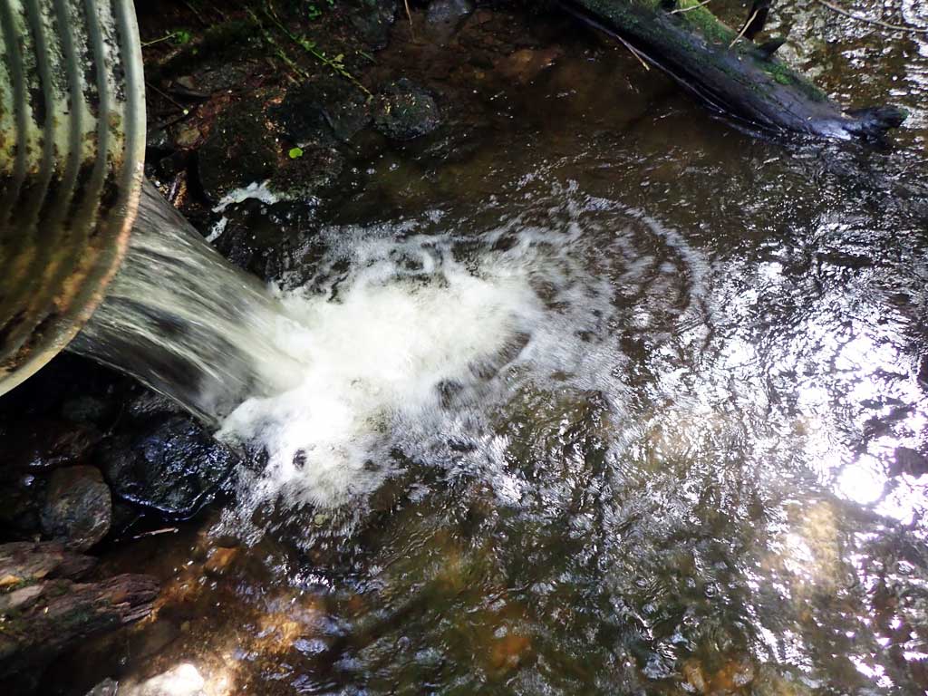
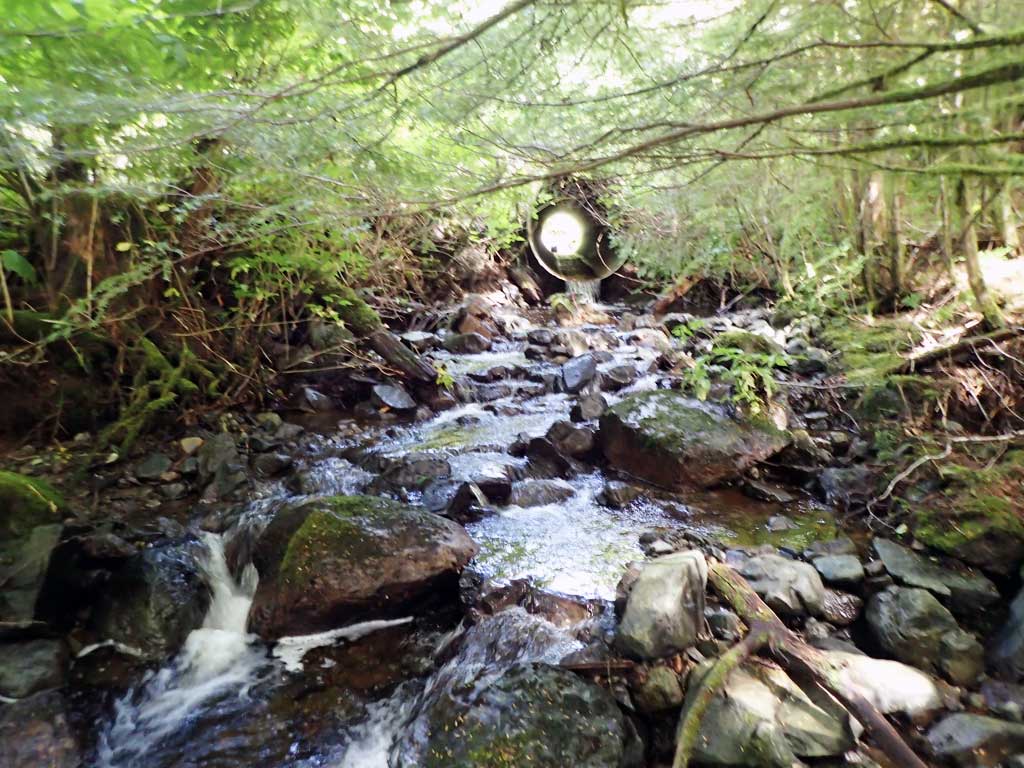
| ID: 1 | Structure Type: Circular pipe (Corrugated aluminum) | Fish Passage Rating: | |||||||||||||||||||||||||||||||||||||||||
|
|
|
|||||||||||||||||||||||||||||||||||||||||
Culvert Observations:
|
|||||||||||||||||||||||||||||||||||||||||||
Stream Measurements
|
|
| Stream Width Type | Distance From Crossing (ft) |
Stream Width (ft) |
|---|---|---|
| Upstream ordinary high water | 30.0 | 7.60 |
| Upstream ordinary high water | 50.0 | 7.30 |
| Upstream ordinary high water | 75.0 | 7.80 |
Elevations
| Locator ID | Culvert Number |
River Distance (ft)1 |
Distance From Crossing (ft)2 |
Relative Elevation (ft) |
|---|---|---|---|---|
| Road Elev | 99.96 | |||
| D/S Grade Ctrl (Thalweg) | 0.00 | 87.85 | ||
| D/S Water Surface Elev | 0.00 | 88.13 | ||
| Outlet Pool Water Elev | 7.00 | 88.41 | ||
| Max Pool Depth | 7.00 | 86.41 | ||
| Outlet Culvert Top | 15.00 | 94.81 | ||
| Outlet Invert (on pipe) | 15.00 | 89.54 | ||
| D/S Water Surface Elev | 15.00 | 89.72 | ||
| Inlet Culvert Invert (on pipe) | 85.60 | 91.88 | ||
| U/S Water Surface Elev | 85.60 | 92.23 | ||
| Inlet Culvert Top | 85.60 | 96.67 | ||
| U/S Grade Ctrl (Thalweg) | 90.60 | 93.14 | ||
| U/S Water Surface Elev | 90.60 | 93.48 | ||
| U/S Grade Ctrl (Thalweg) | 99.60 | 93.70 | ||
| U/S Water Surface Elev | 99.60 | 94.06 |
Notes:
- River distance is measured continuously throughout the survey reach along the thalweg of the stream.
- Measured from each end of the crossing along the thalweg of the stream.
Fish Sampling Efforts
| Gear Type: Minnow Trap (A) | Trap Duration(h): 0.8 | |
| Comments: Trap set about 10 feet downstream | ||
| Gear Type: Minnow Trap (B) | Trap Duration(h): 0.8 | |
Fish Observations
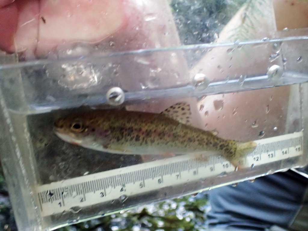
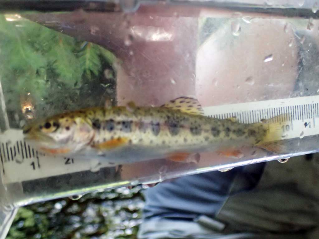
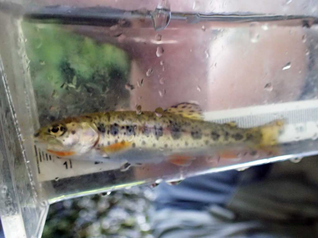
| Species: juvenile/adult cutthroat trout | Life History: Unknown | ||
| Total Fish Observed: 2 | Fish Measured: 2 | Fork Lengths (mm) Min: 90 Max: 110 Mean: 100 | |
| Collected/Observed by Gear Type: Downstream Minnow Trap (2) | |||
Photos


Questions or comments about this report can be directed to dfg.dsf.webmaster@alaska.gov