Fish Passage Site 10103564
Coordinates (dec. deg.): 55.48562°, -132.91242°
Legal Description: C074S082E02
Region: Southeast
Road Name: Hollils Klawock Highway
Datum: NAD83
Quad Name / ITM: Craig B-3
AWC Stream #: 103-60-10470-2161
Stream Name: Unnamed
Elevation:
Site Comments: None
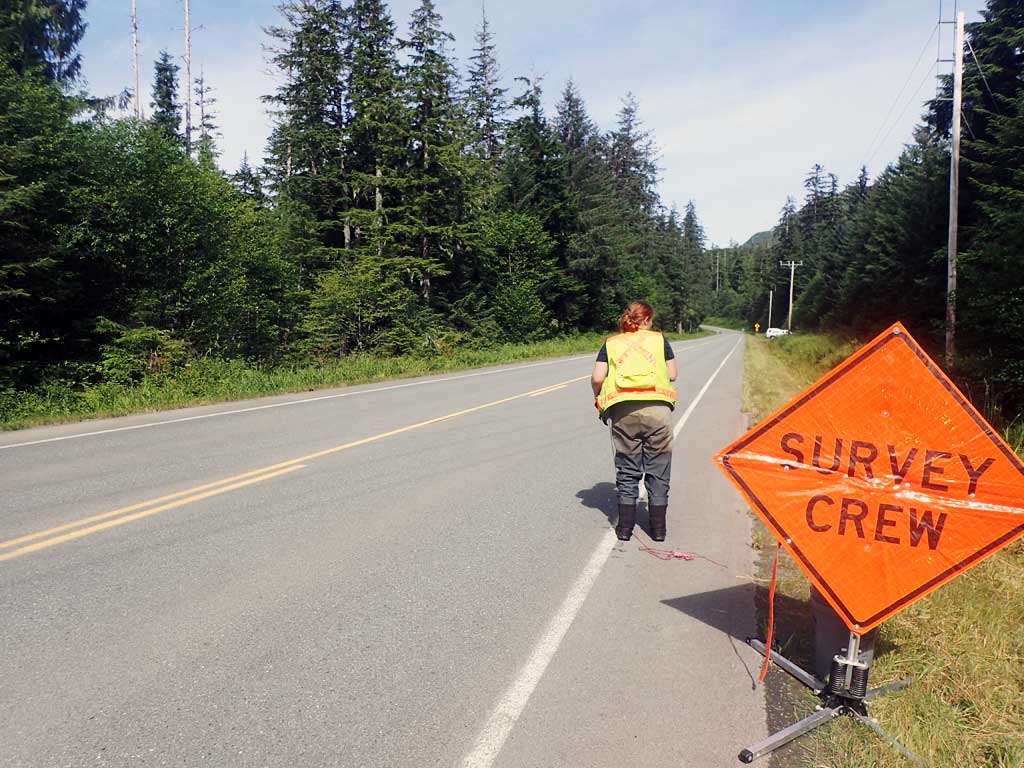
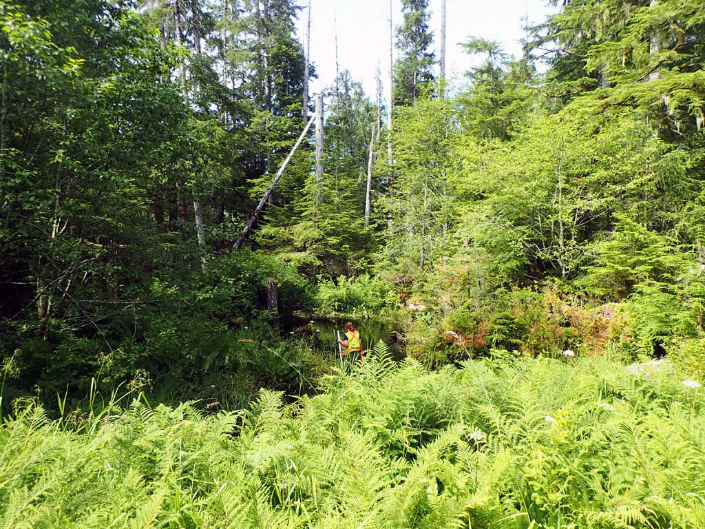
Survey SEA17-HLK04
Observers: Elizabeth Flory, Kelly Petty
Overall Fish Passage Rating:
Tidal: No
Backwatered: No
Step Pools: No
Construction Year:
Site Observations:
- Culvert gradient red
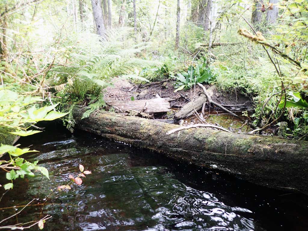
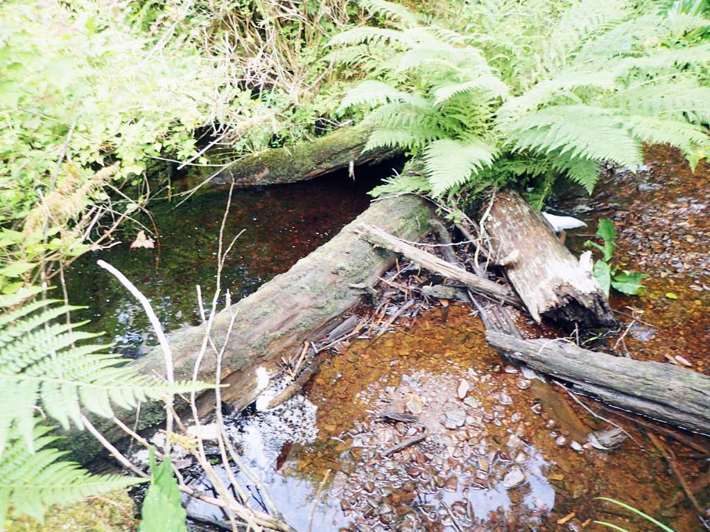
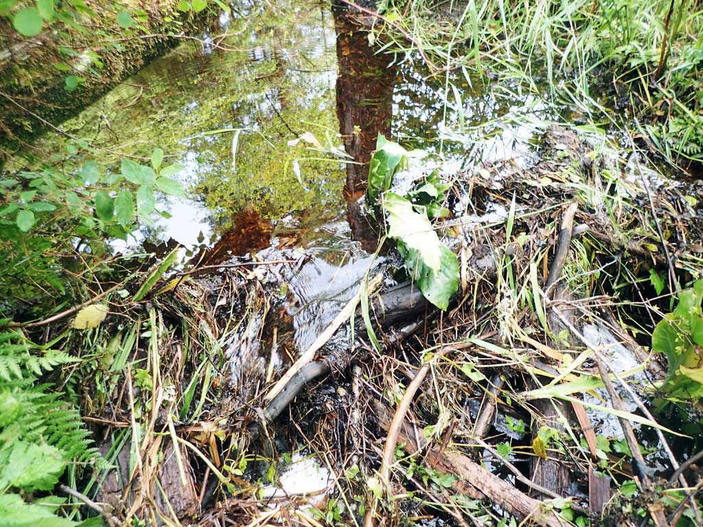
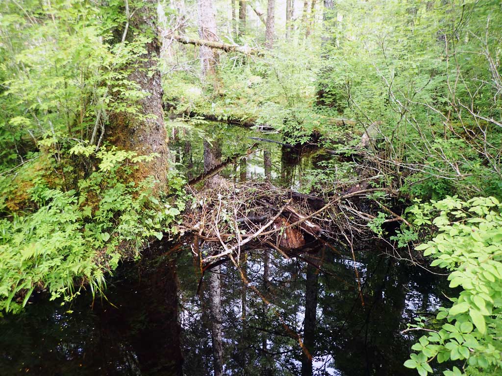
- Beaver Activity
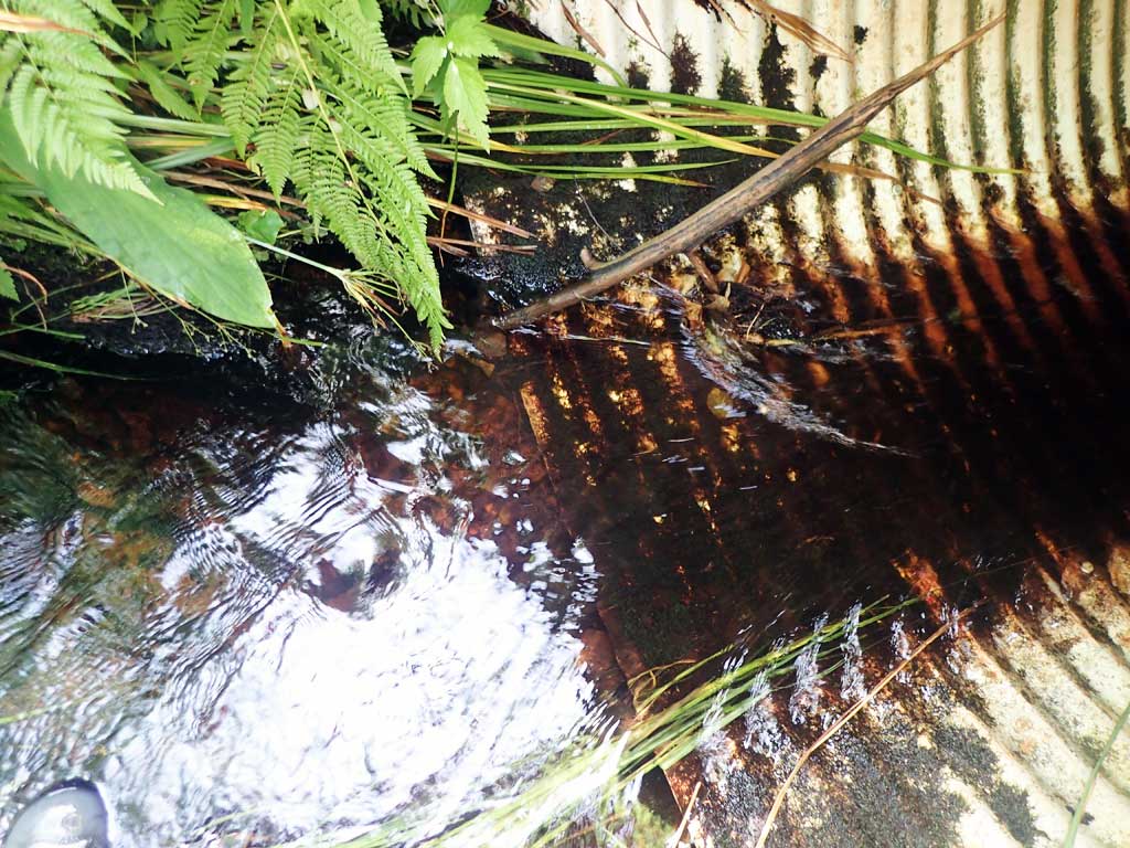
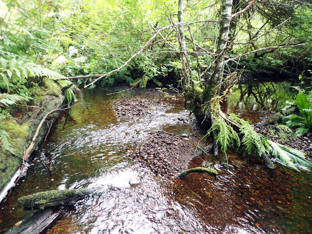
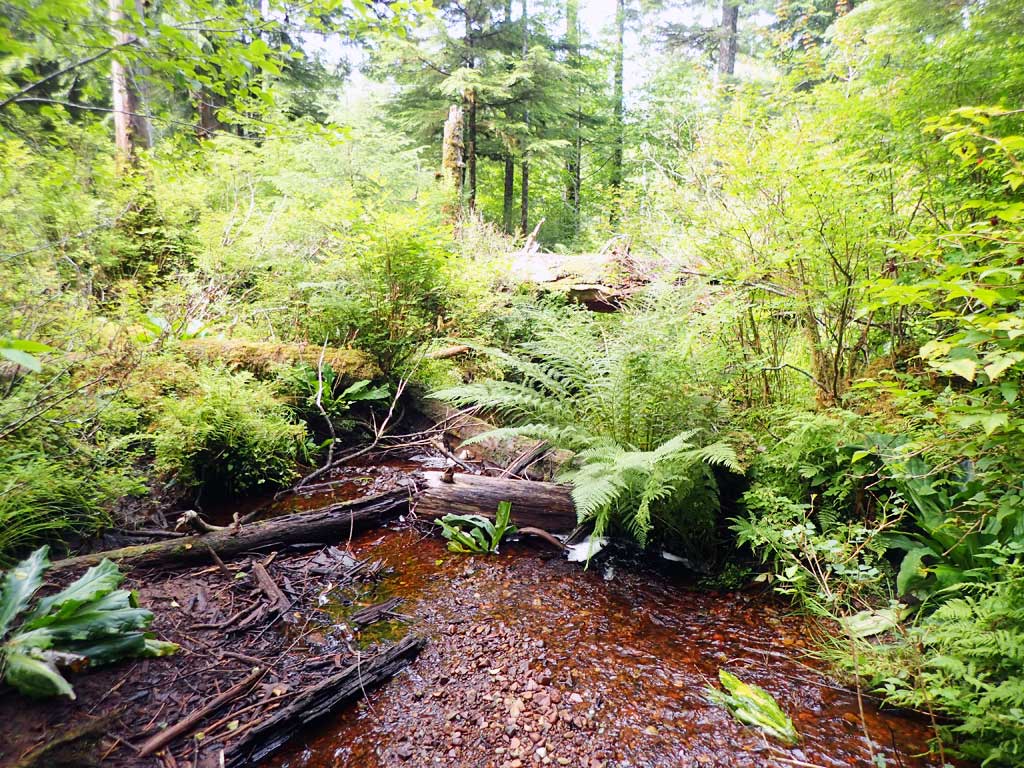
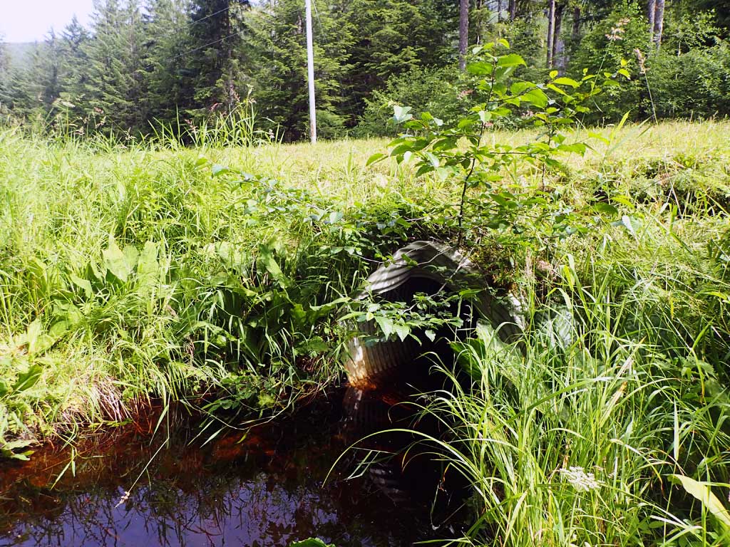
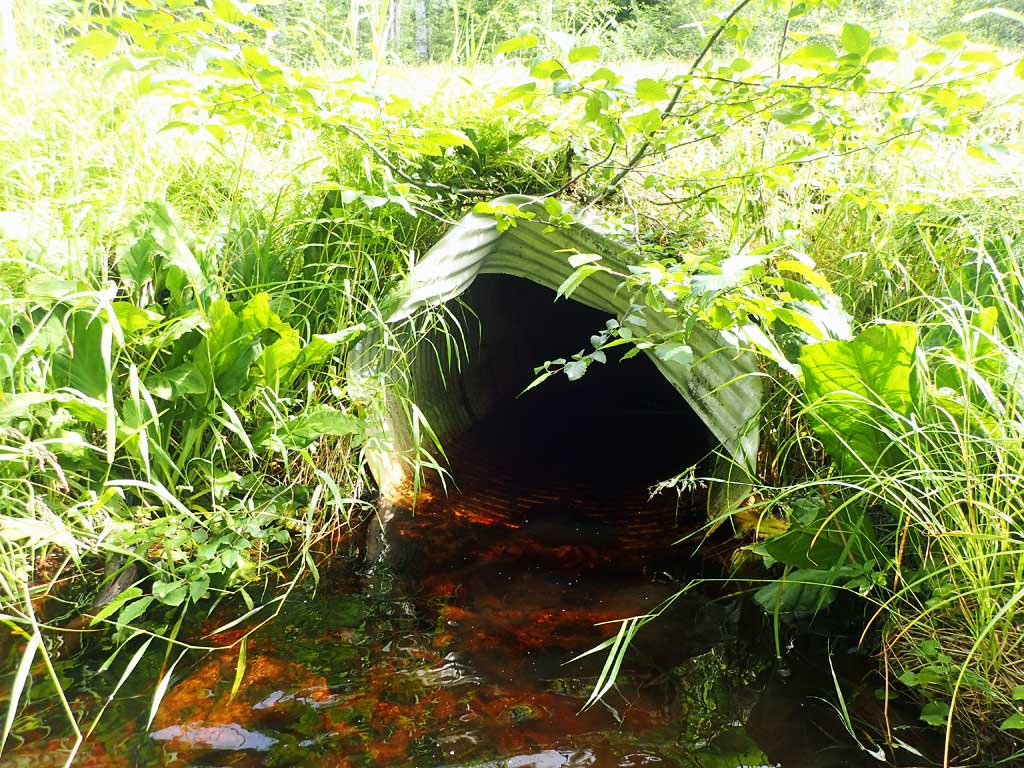
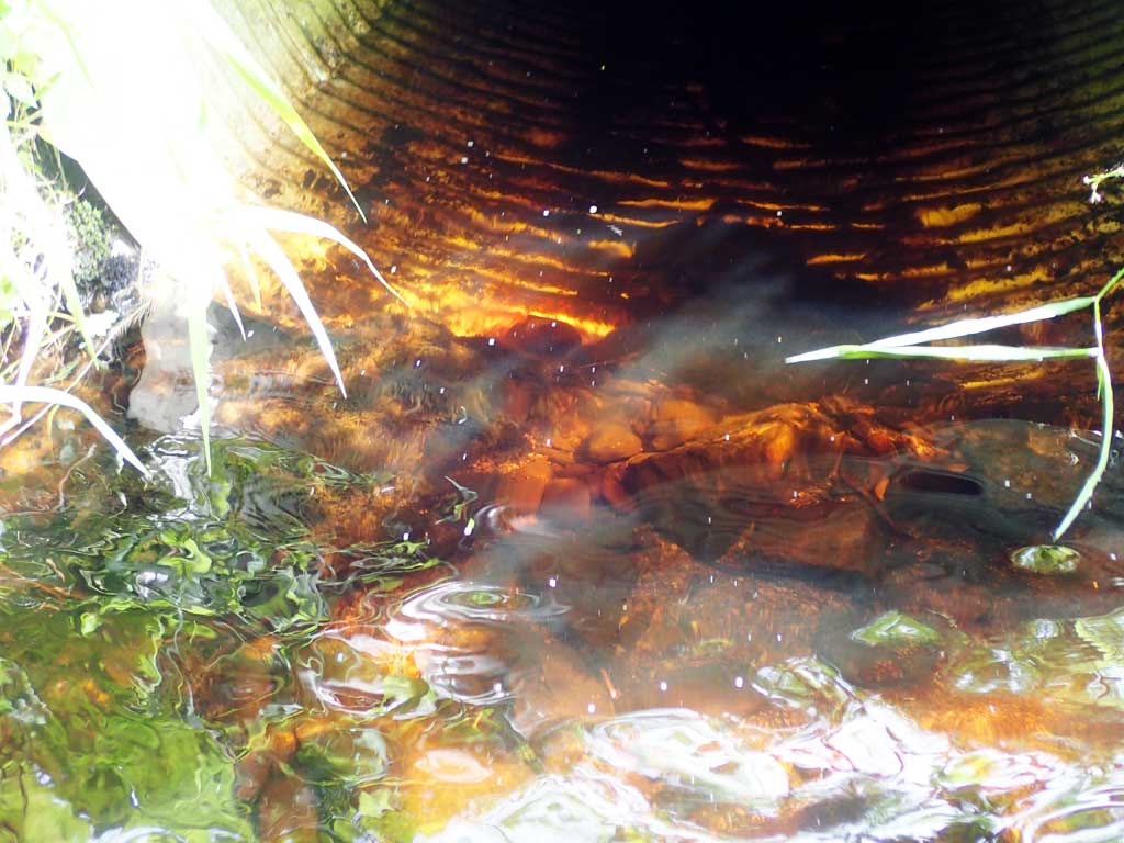
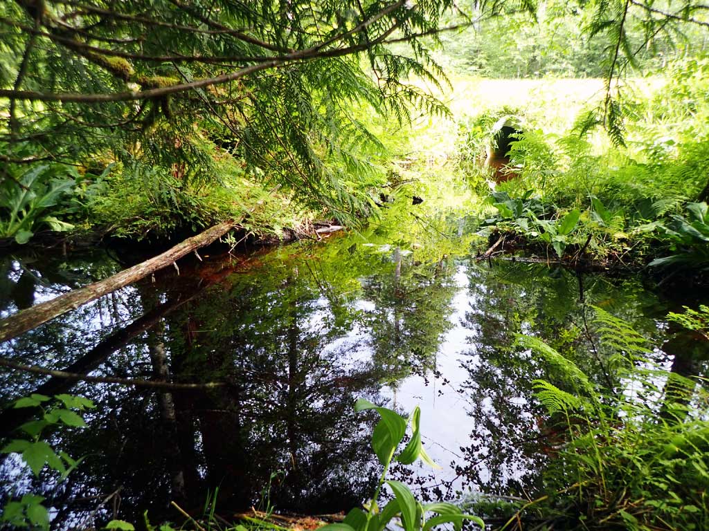
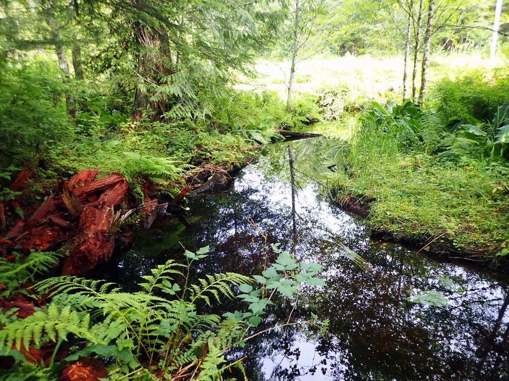
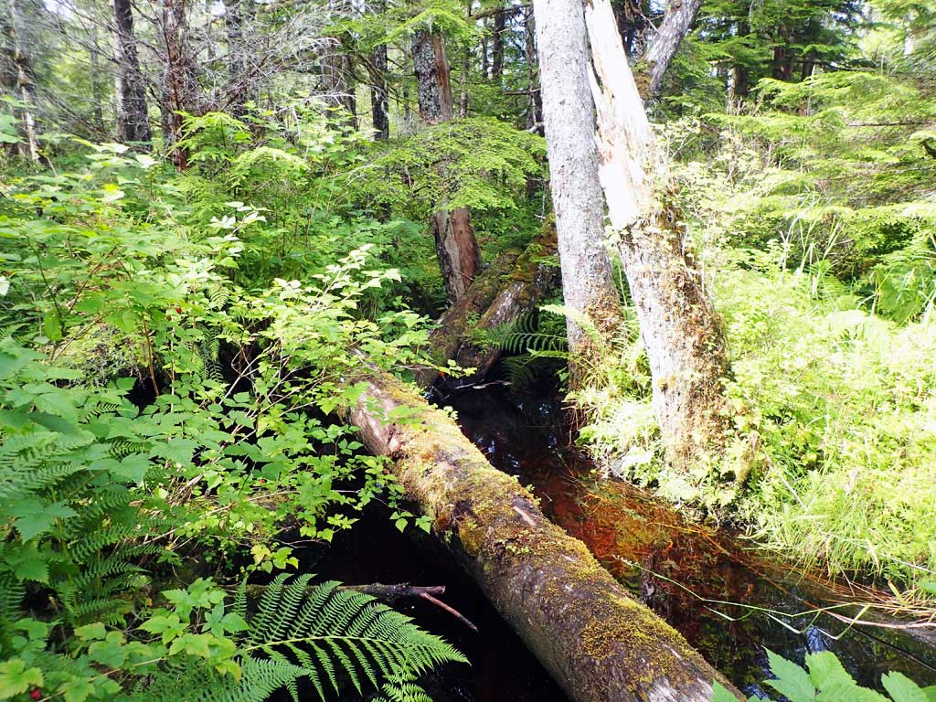
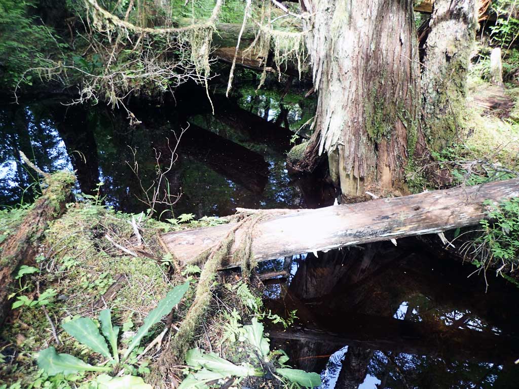
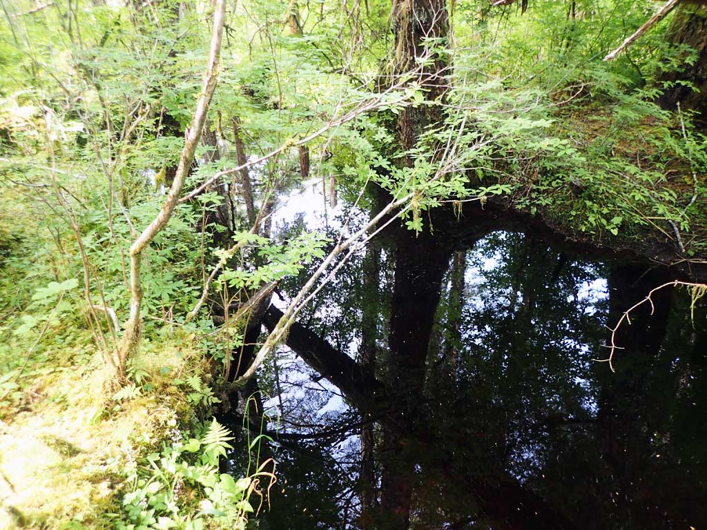
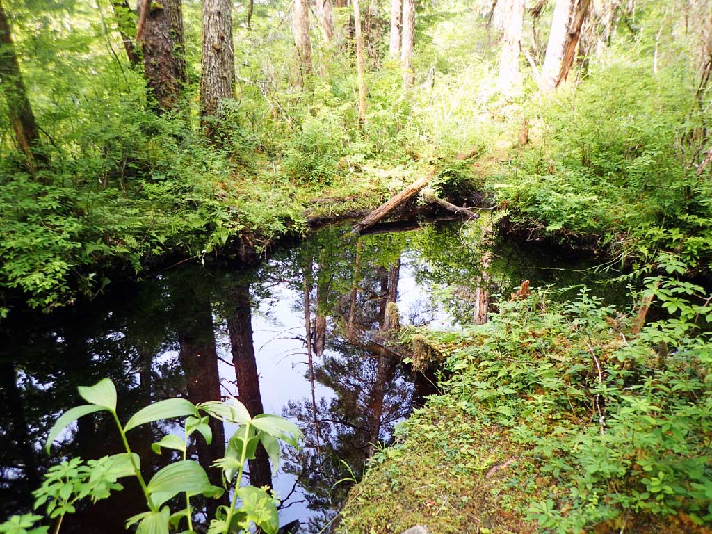
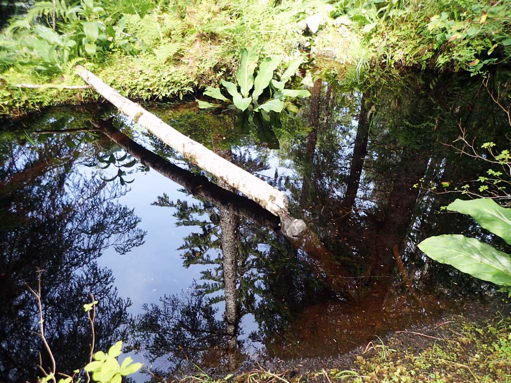
Comments: Juvenile coho observed upstream and downstream of culvert. Beaver dam downstream of culvert. Water very tannic.
Culvert Measurements
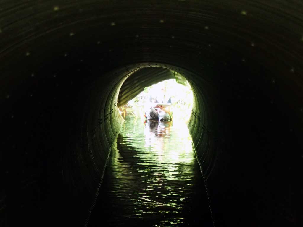
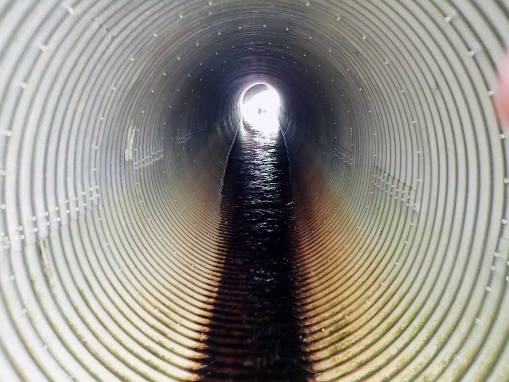
| ID: 1 | Structure Type: Circular pipe (Corrugated aluminum) | Fish Passage Rating: | |||||||||||||||||||||||||||||||||||||||||
|
|
|
|||||||||||||||||||||||||||||||||||||||||
Comments: Top of outlet damaged. |
|||||||||||||||||||||||||||||||||||||||||||
Culvert Observations:
|
|||||||||||||||||||||||||||||||||||||||||||
Stream Measurements
|
|
| Stream Width Type | Distance From Crossing (ft) |
Stream Width (ft) |
|---|---|---|
| Upstream ordinary high water | 20.0 | 8.50 |
| Upstream ordinary high water | 70.0 | 7.50 |
| Upstream ordinary high water | 150.0 | 3.00 |
Elevations
| Locator ID | Culvert Number |
River Distance (ft)1 |
Distance From Crossing (ft)2 |
Relative Elevation (ft) |
|---|---|---|---|---|
| Road Elev | 103.66 | |||
| D/S Grade Ctrl (Thalweg) (near beaver dam) | 0.00 | 94.81 | ||
| D/S Water Surface Elev | 0.00 | 96.00 | ||
| D/S Tailcrest or 1st Thalweg | 150.00 | 94.74 | ||
| D/S Water Surface Elev | 150.00 | 95.85 | ||
| Outlet Pool Water Elev | 171.00 | 95.80 | ||
| Max Pool Depth | 171.00 | 94.42 | ||
| Outlet Invert (on pipe) | 188.00 | 95.08 | ||
| D/S Water Surface Elev | 188.00 | 96.05 | ||
| Outlet Culvert Top | 188.00 | 99.98 | ||
| Inlet Culvert Top | 243.70 | 101.25 | ||
| U/S Water Surface Elev | 243.70 | 96.50 | ||
| Inlet Culvert Invert (on substrate) | 243.70 | 96.12 | ||
| U/S Grade Ctrl (Thalweg) | 247.70 | 96.14 | ||
| U/S Water Surface Elev | 247.70 | 96.37 | ||
| U/S Water Surface Elev | 252.70 | 96.49 | ||
| U/S Grade Ctrl (Thalweg) (Pool 1st resting) | 252.70 | 95.65 | ||
| U/S Grade Ctrl (Thalweg) (Log step) | 255.70 | 96.53 | ||
| U/S Water Surface Elev | 255.70 | 97.37 |
Notes:
- River distance is measured continuously throughout the survey reach along the thalweg of the stream.
- Measured from each end of the crossing along the thalweg of the stream.
Fish Sampling Efforts
| Gear Type: Minnow Trap (A) | Trap Duration(h): 2.0 | |
| Comments: No fish caught | ||
| Gear Type: Minnow Trap (B) | Trap Duration(h): 2.0 | |
| Gear Type: Visual Observation, Ground (C) | ||
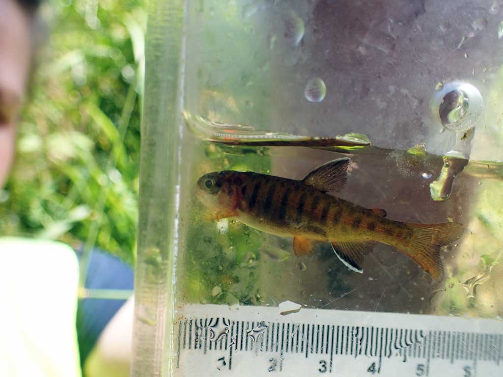
| Comments: Juvenile salmonids, most likely coho observed upstream and downstream of culvert. | ||
Fish Observations
| Species: juvenile coho salmon | Life History: Anadromous | ||
| Total Fish Observed: 7 | Fish Measured: 1 | Fork Lengths (mm) Min: 49 Max: 49 Mean: 49 | |
| Collected/Observed by Gear Type: At Site Visual Observation, Ground (6) Downstream Minnow Trap (1) | |||
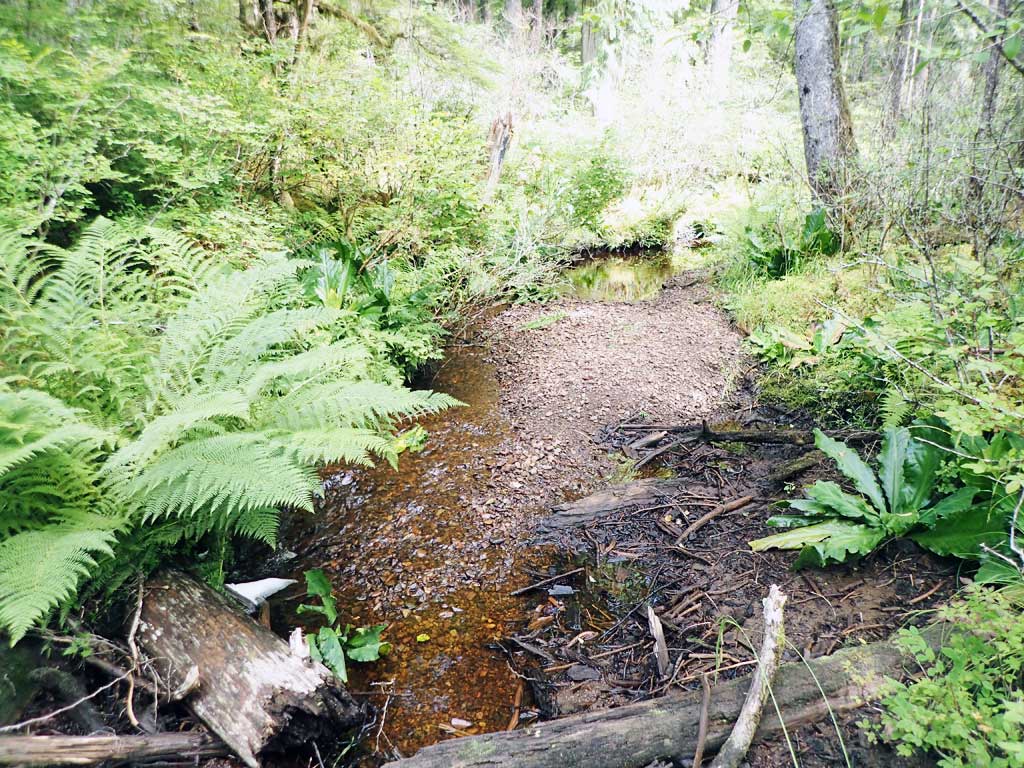
Photos


Questions or comments about this report can be directed to dfg.dsf.webmaster@alaska.gov