Fish Passage Site 10103563
Coordinates (dec. deg.): 55.48727°, -132.91330°
Legal Description: C074S082E02
Region: Southeast
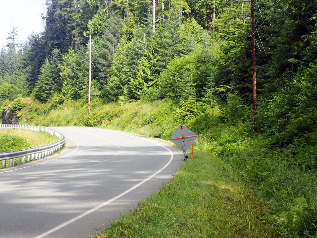
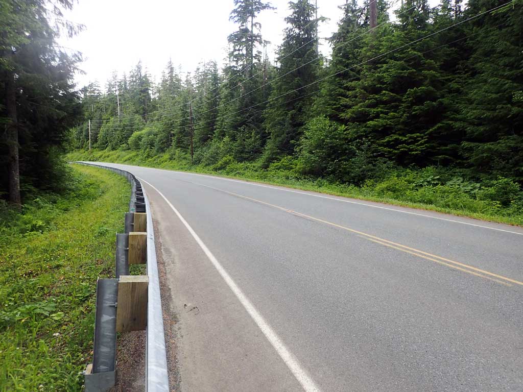
Road Name: Hollils Klawock Road
Datum: NAD83
Quad Name / ITM: Craig B-3
AWC Stream #: 103-60-10470-2155
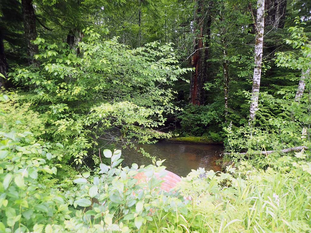
Stream Name: Blue Creek
Elevation:
Site Comments: None
Survey SEA17-HLK03
Observers: Elizabeth Flory, Kelly Petty
Overall Fish Passage Rating:
Tidal: No
Backwatered: No
Step Pools: No
Construction Year:
Site Observations:
- Constriction ratio gray
- Culvert gradient gray
- Inlet perch
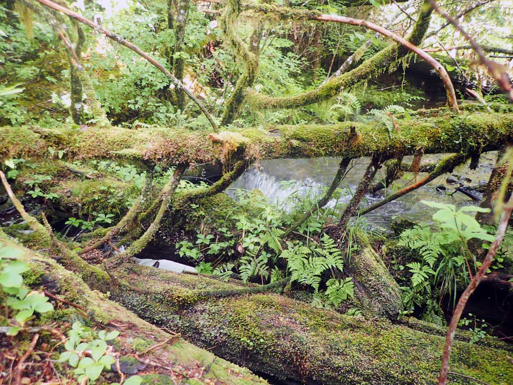
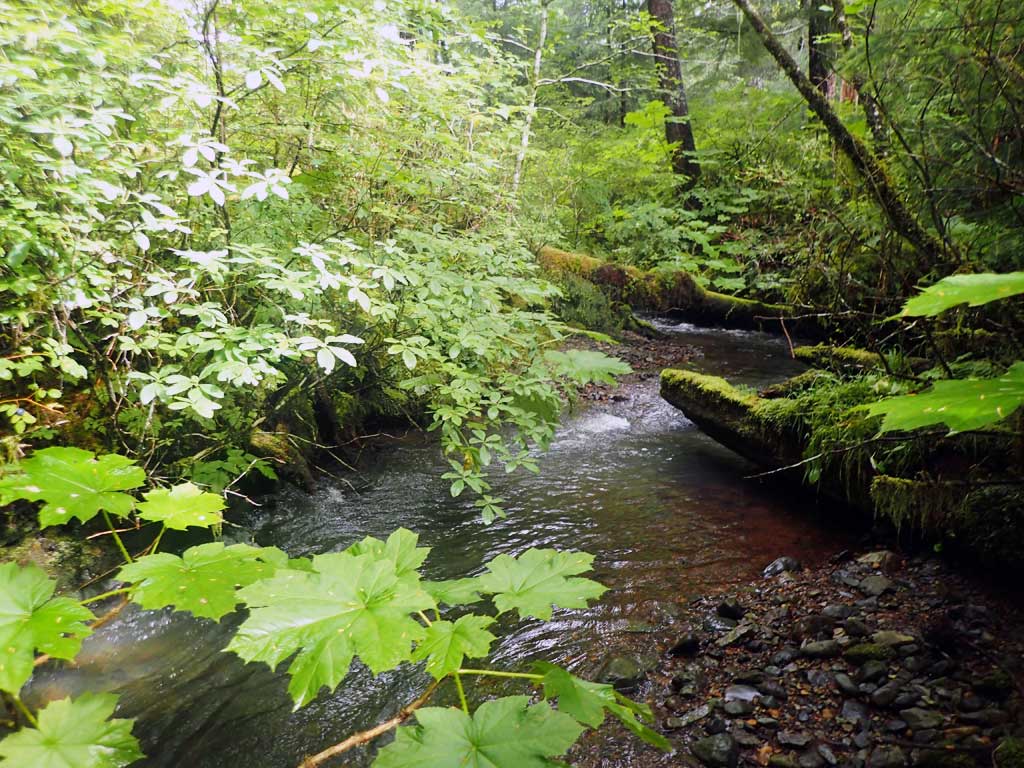
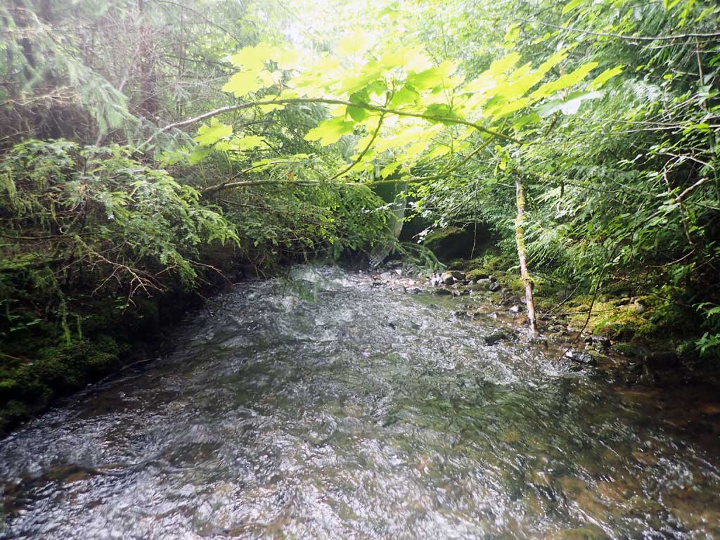
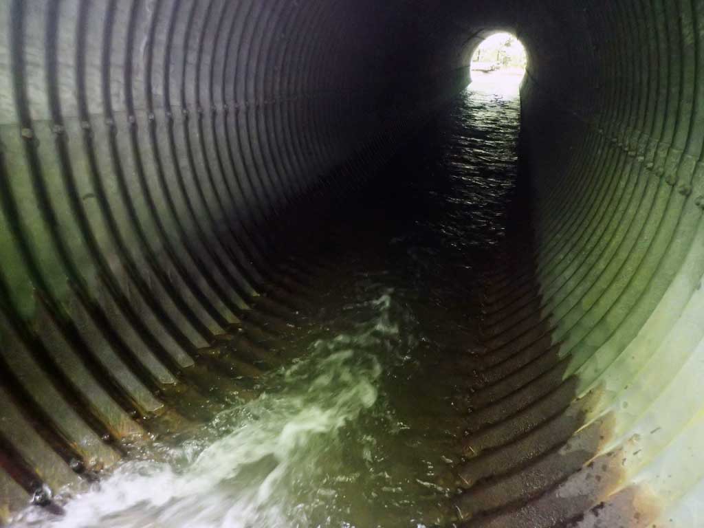
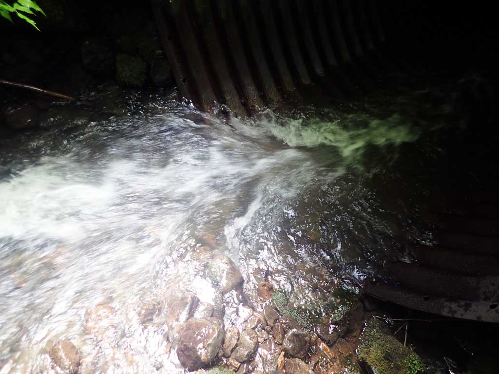
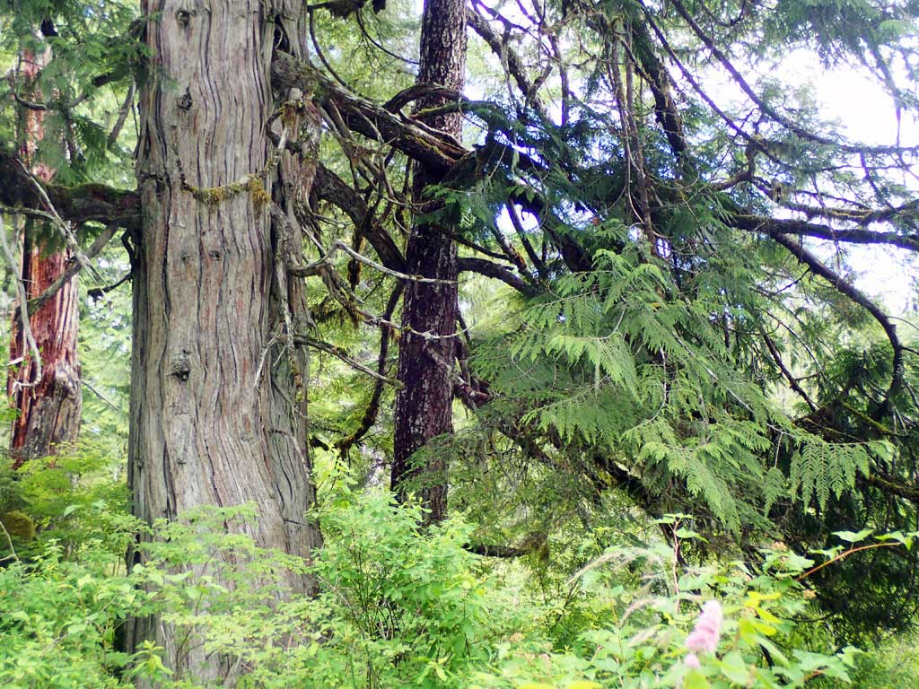
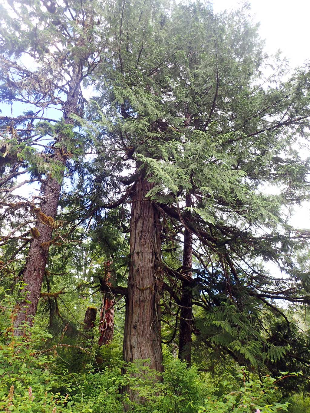
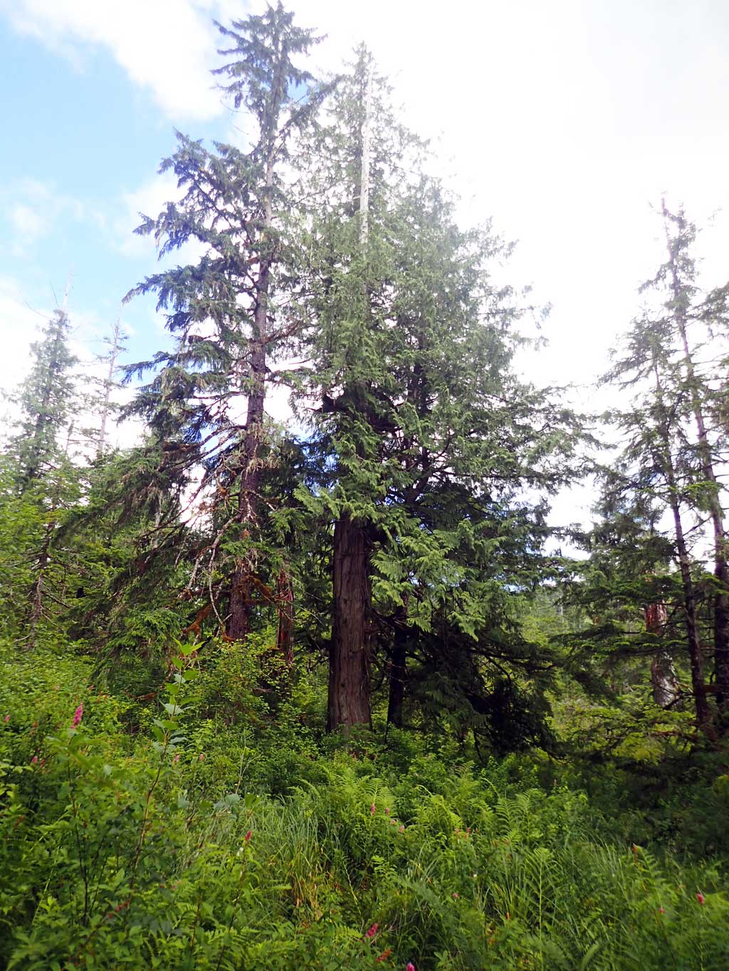
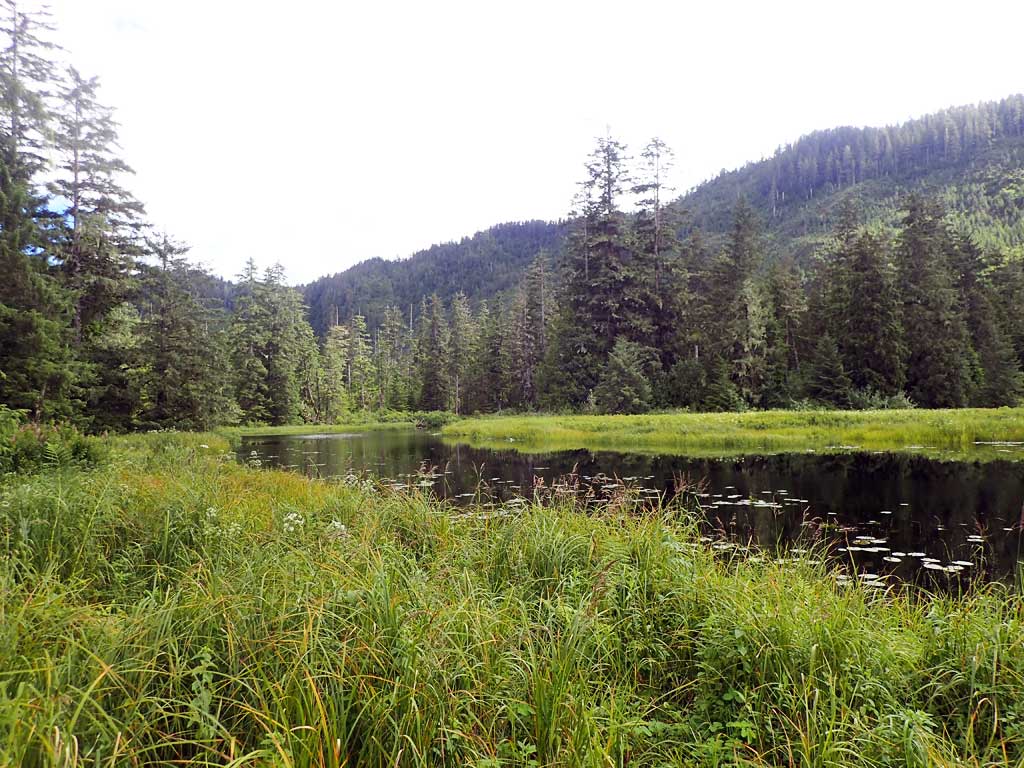
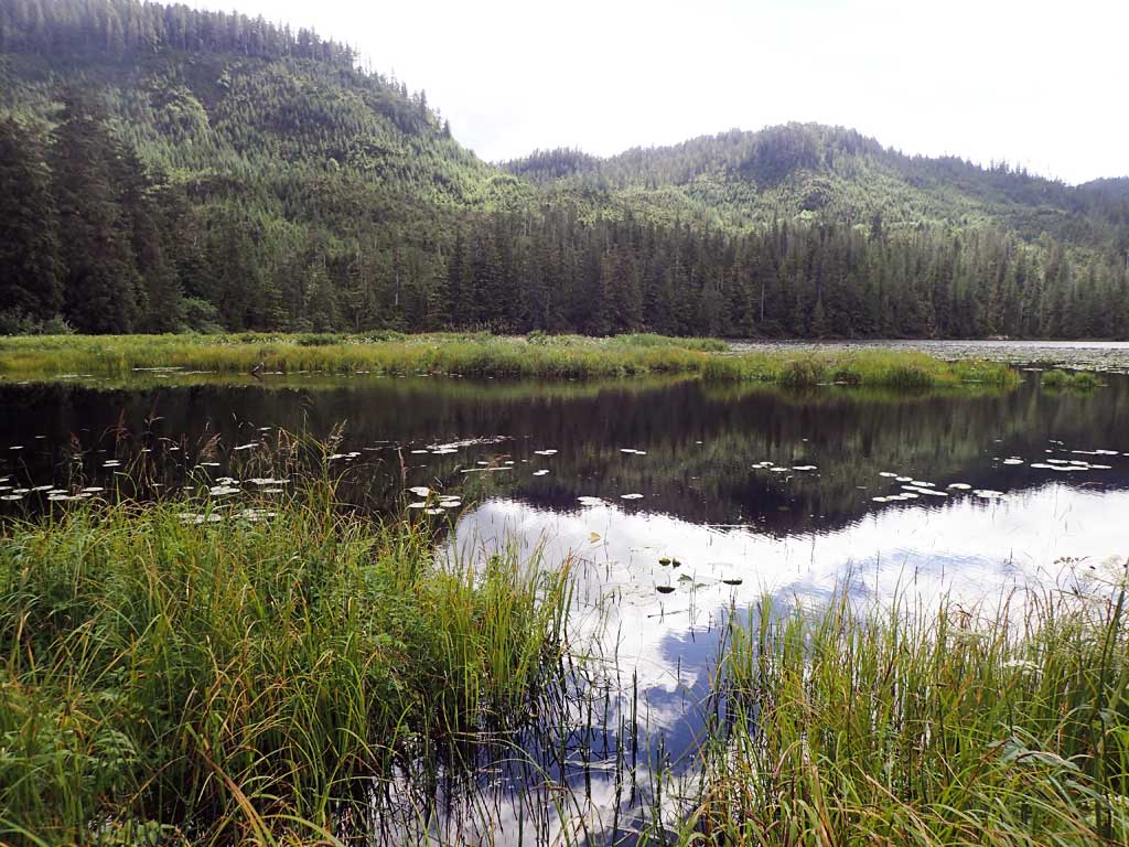
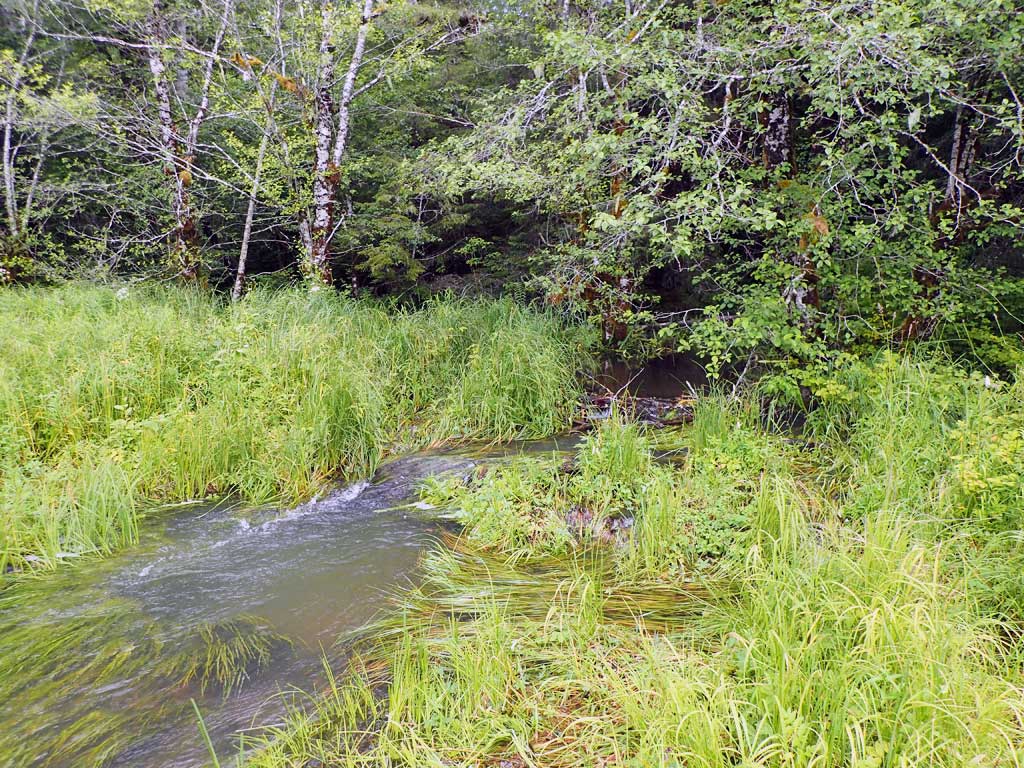
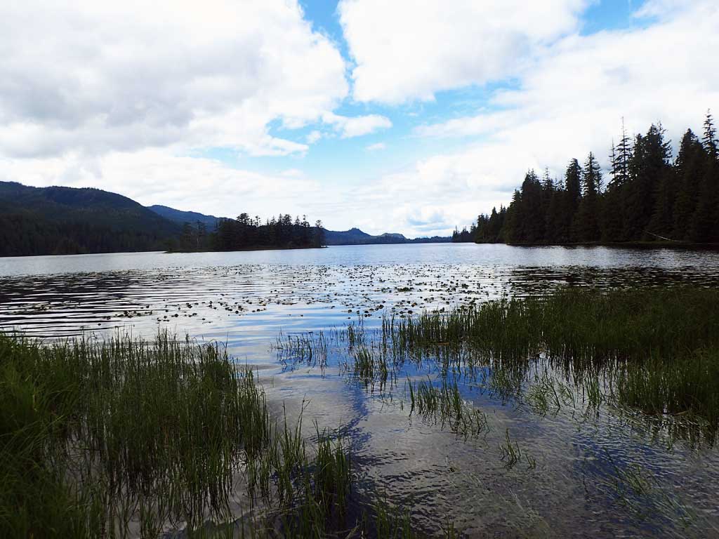
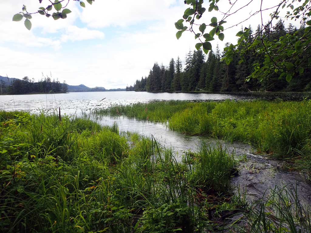
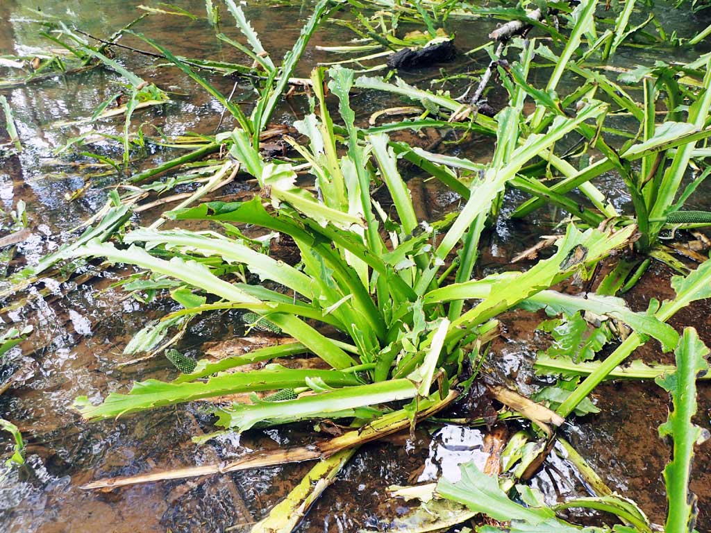
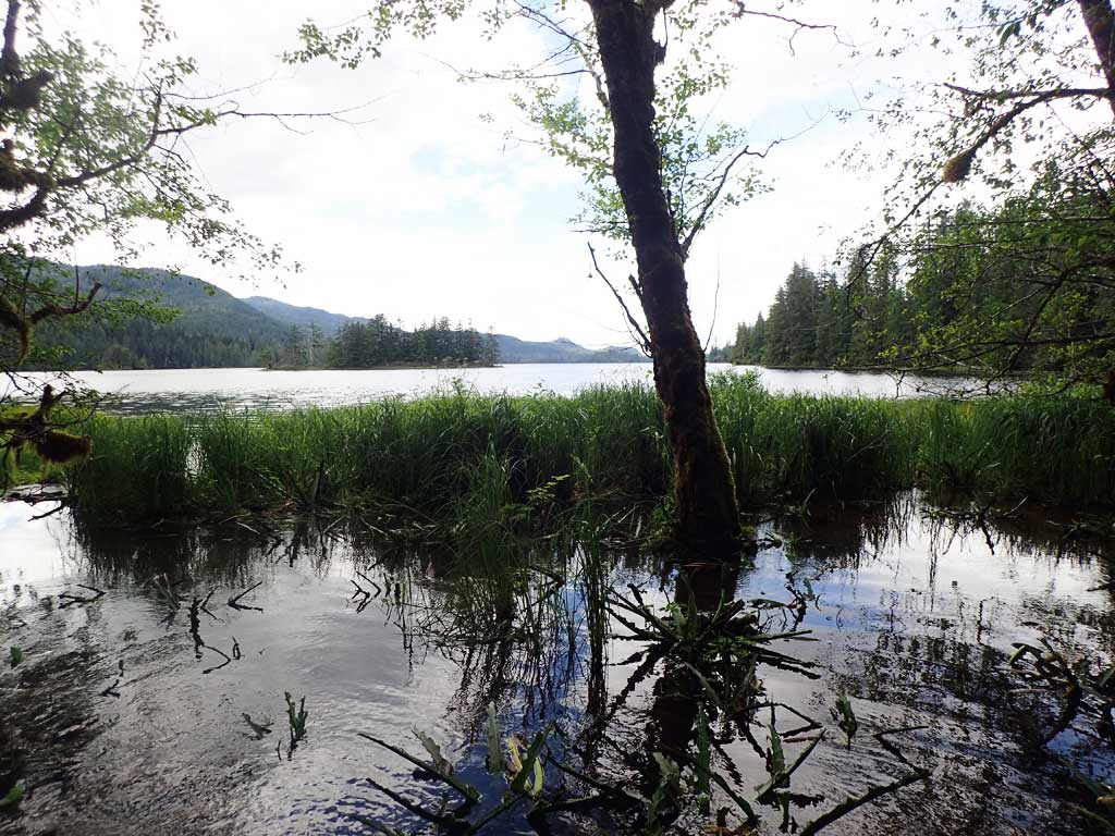
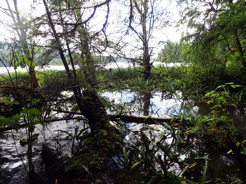
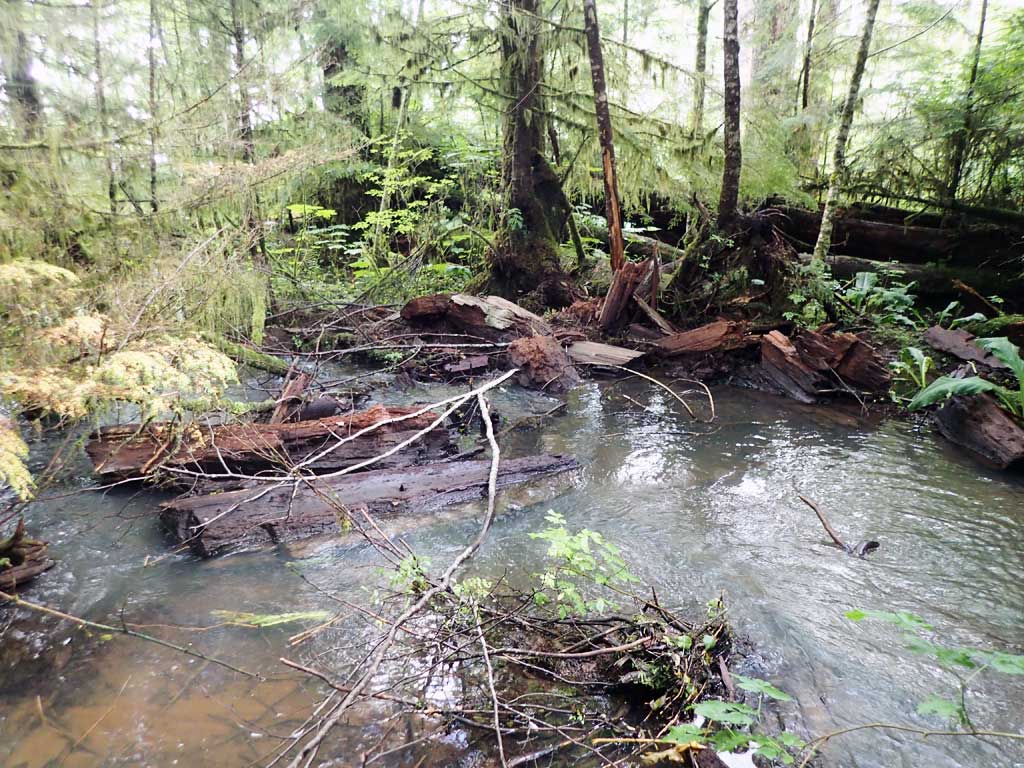
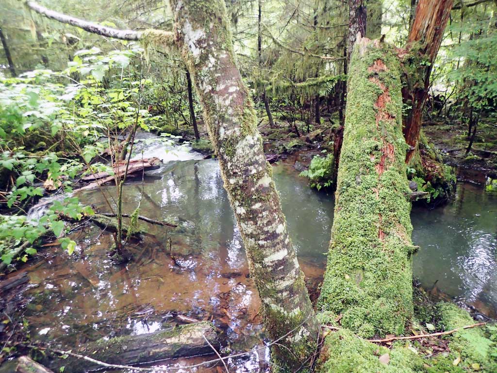
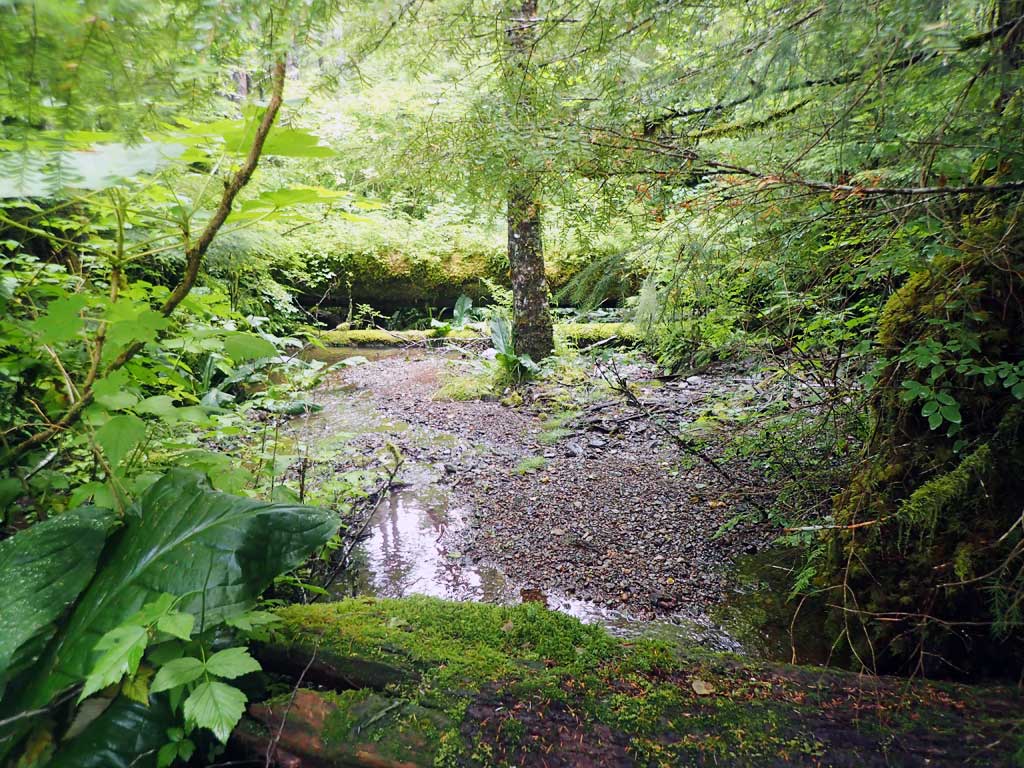
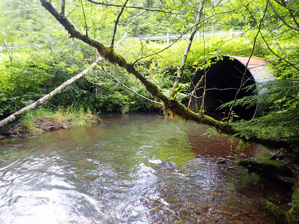
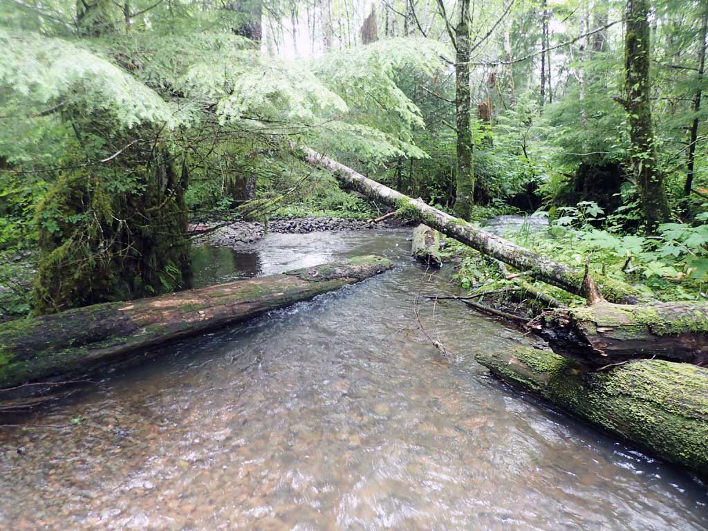
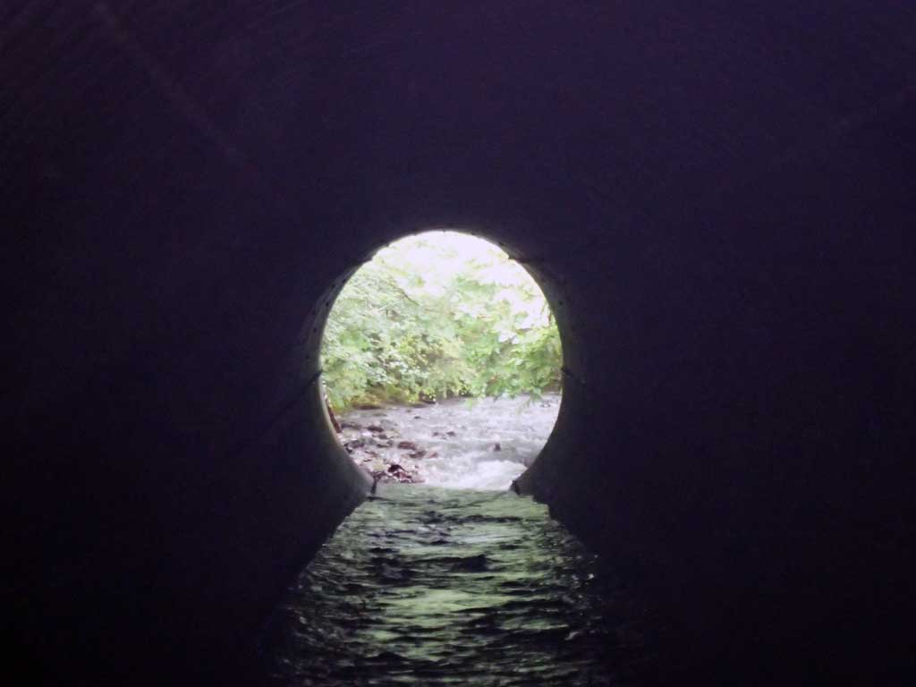
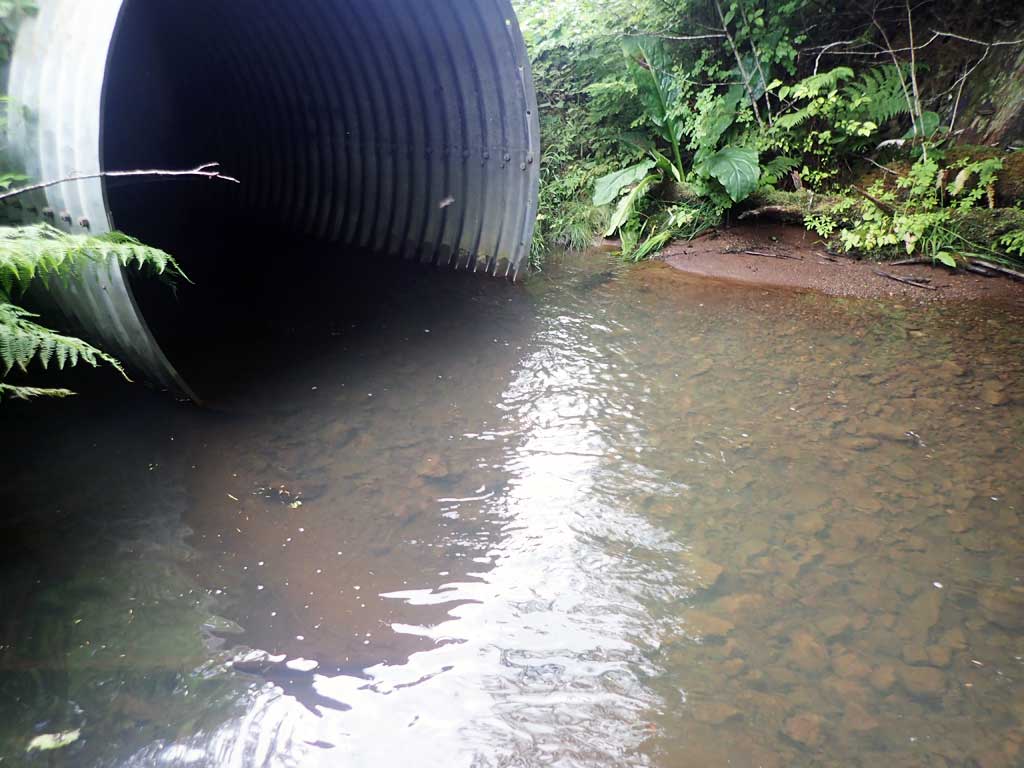
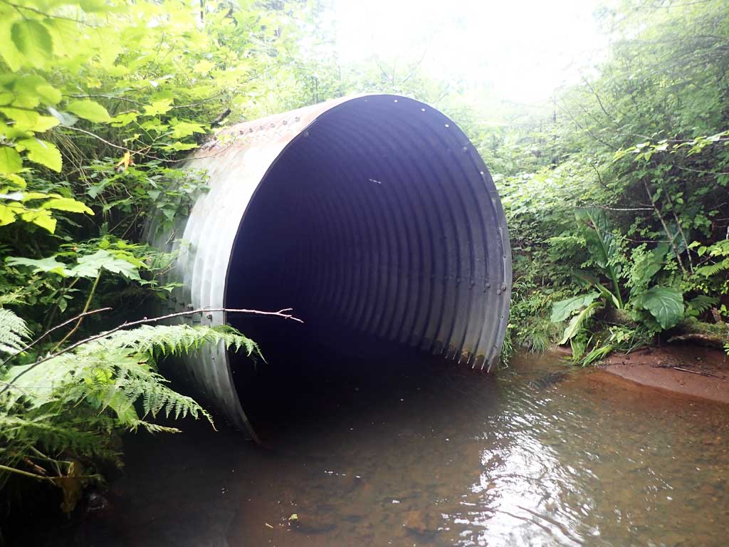
Comments: Steeper riffles upstream, a few pools with large woody debris. 2' large woody debris step at about 200 feet upstream. No barriers observed between culvert and lake. Creek braides downstream of culvert over gravel bars. At mouth of creek runs through grass and skunk cabbage.
Culvert Measurements
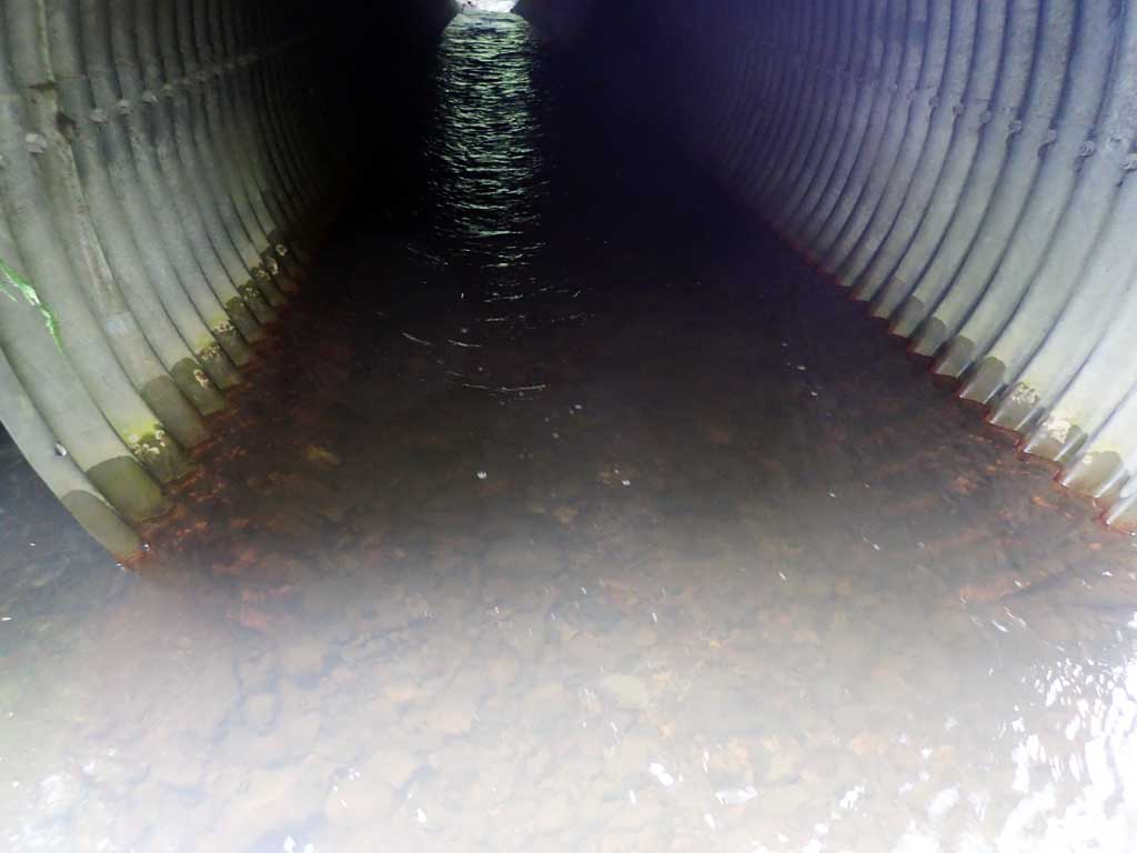
| ID: 1 | Structure Type: Circular pipe (Structural steel plate) | Fish Passage Rating: | |||||||||||||||||||||||||||||||||||||||||
|
|
|
|||||||||||||||||||||||||||||||||||||||||
Culvert Observations:
|
|||||||||||||||||||||||||||||||||||||||||||
Stream Measurements
|
|
| Stream Width Type | Distance From Crossing (ft) |
Stream Width (ft) |
|---|---|---|
| Upstream ordinary high water | 20.0 | 12.50 |
| Upstream ordinary high water | 100.0 | 9.60 |
| Upstream ordinary high water | 150.0 | 10.00 |
Elevations
| Locator ID | Culvert Number |
River Distance (ft)1 |
Distance From Crossing (ft)2 |
Relative Elevation (ft) |
|---|---|---|---|---|
| Road Elev | 104.45 | |||
| D/S Grade Ctrl (Thalweg) | 0.00 | 92.27 | ||
| D/S Water Surface Elev | 0.00 | 92.92 | ||
| D/S Water Surface Elev | 18.00 | 93.02 | ||
| D/S Tailcrest or 1st Thalweg | 18.00 | 92.58 | ||
| Max Pool Depth | 34.00 | 92.35 | ||
| Outlet Pool Water Elev | 34.00 | 93.32 | ||
| Outlet Invert | 48.00 | 92.32 | ||
| D/S Water Surface Elev | 48.00 | 93.27 | ||
| Outlet Culvert Top | 48.00 | 100.00 | ||
| Inlet Culvert Top | 128.60 | 101.58 | ||
| U/S Water Surface Elev | 128.60 | 92.98 | ||
| Inlet Culvert Invert | 128.60 | 93.42 | ||
| U/S Grade Ctrl (Thalweg) | 138.60 | 94.06 | ||
| U/S Water Surface Elev | 138.60 | 94.58 | ||
| U/S Grade Ctrl (Thalweg) | 159.60 | 95.09 | ||
| U/S Water Surface Elev | 159.60 | 95.42 | ||
| U/S Grade Ctrl (Thalweg) | 198.60 | 96.03 | ||
| U/S Water Surface Elev | 198.60 | 96.43 |
Notes:
- River distance is measured continuously throughout the survey reach along the thalweg of the stream.
- Measured from each end of the crossing along the thalweg of the stream.
Fish Sampling Efforts
| Gear Type: Minnow Trap (A) | Trap Duration(h): 1.3 | |
| Comments: Trap set about 80 feet upstream. | ||
| Gear Type: Minnow Trap (B) | Trap Duration(h): 0.3 | |
| Comments: Trap set about 10 feet downstream. | ||
Fish Observations
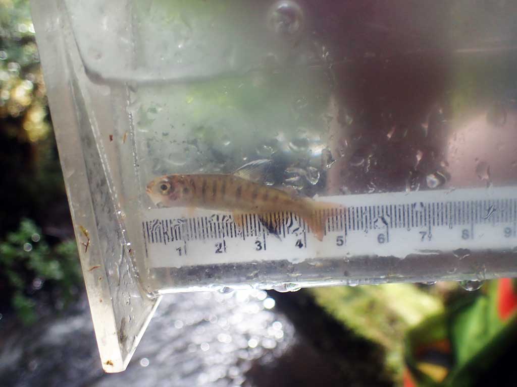
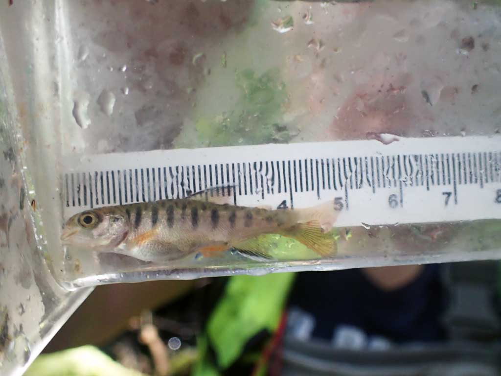
| Species: juvenile coho salmon | Life History: Anadromous | ||
| Total Fish Observed: 3 | Fish Measured: 3 | Fork Lengths (mm) Min: 45 Max: 62 Mean: 51 | |
| Collected/Observed by Gear Type: Downstream Minnow Trap (1) Upstream Minnow Trap (2) | |||
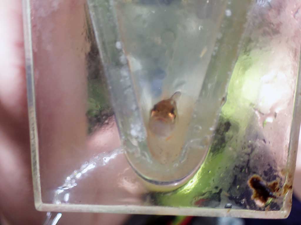
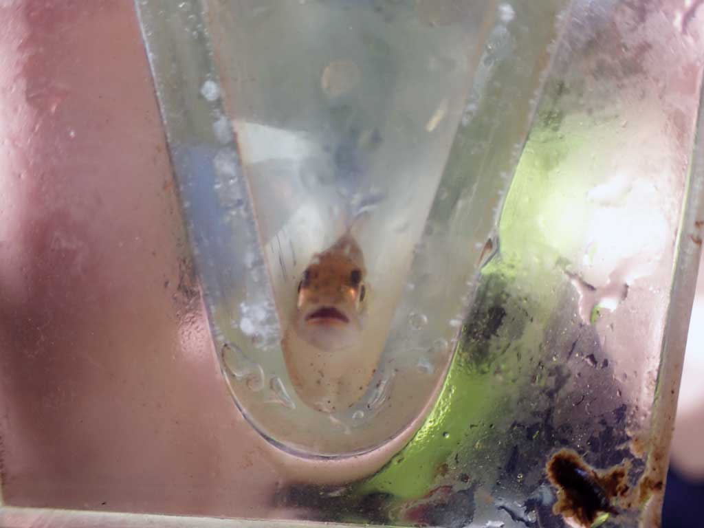
| Species: juvenile Dolly Varden | Life History: Unknown | ||
| Total Fish Observed: 1 | Fish Measured: 1 | Fork Lengths (mm) Min: 124 Max: 124 Mean: 124 | |
| Collected/Observed by Gear Type: Upstream Minnow Trap (1) | |||
Photos


Questions or comments about this report can be directed to dfg.dsf.webmaster@alaska.gov