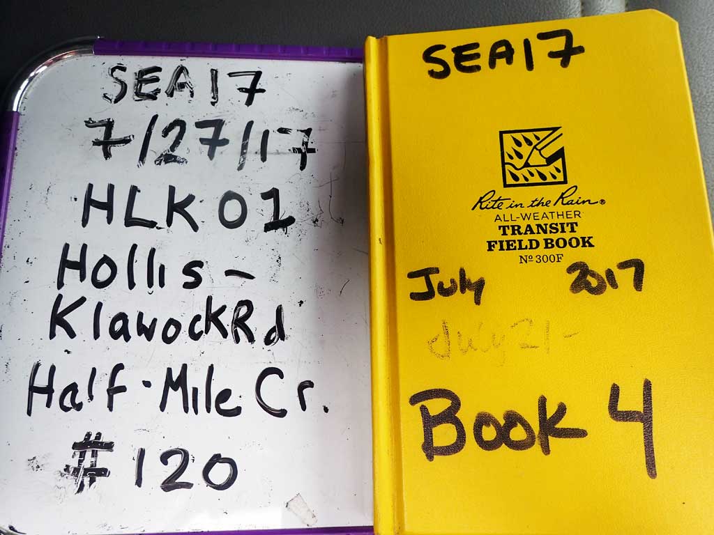
Fish Passage Site 10103561
Coordinates (dec. deg.): 55.54942°, -133.03046°
Legal Description: C073S081E12
Region: Southeast
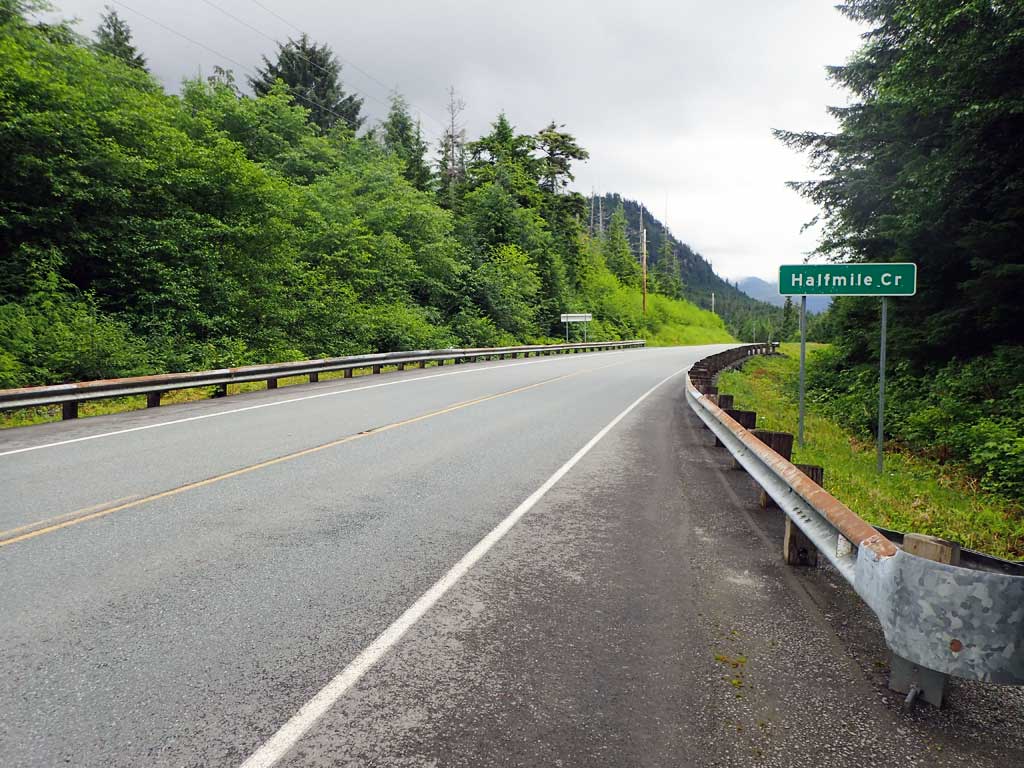
Road Name: Hollis Klawock Road
Datum: NAD83
Quad Name / ITM: Craig C-4
AWC Stream #: 103-60-10470-2031
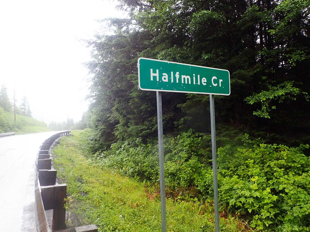
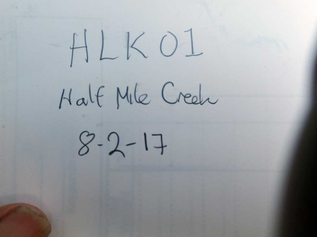
Stream Name: Half Mile Creek
Elevation:
Site Comments: Near Mile post 10
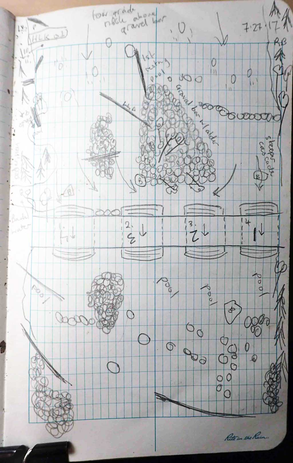
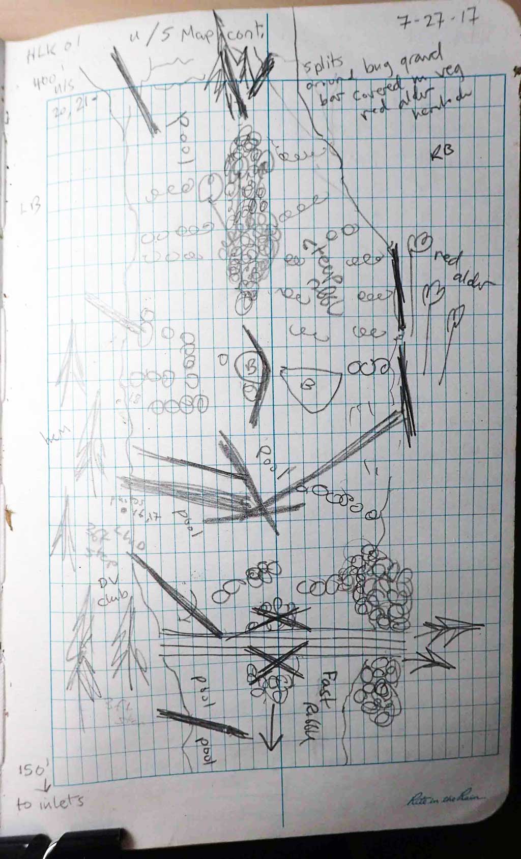
Survey SEA17-HLK01
Observers: Elizabeth Flory, Kelly Petty
Overall Fish Passage Rating:
Tidal: No
Backwatered: No
Step Pools: No
Construction Year:
Site Observations:
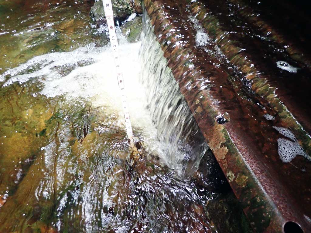
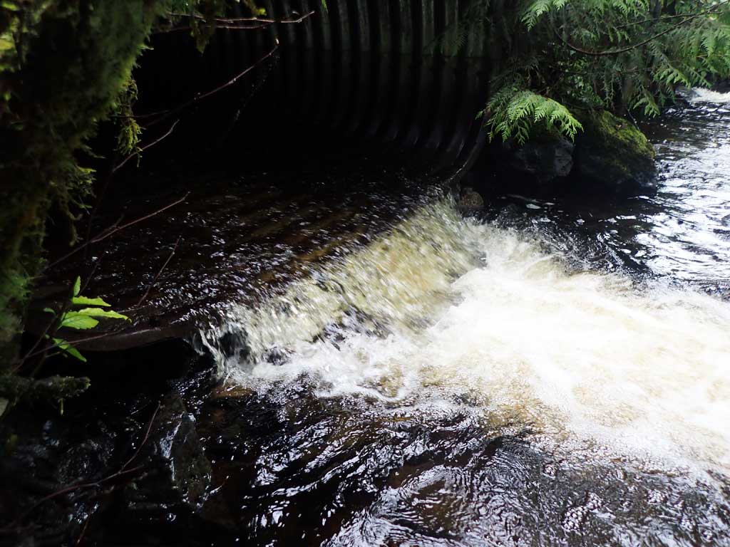
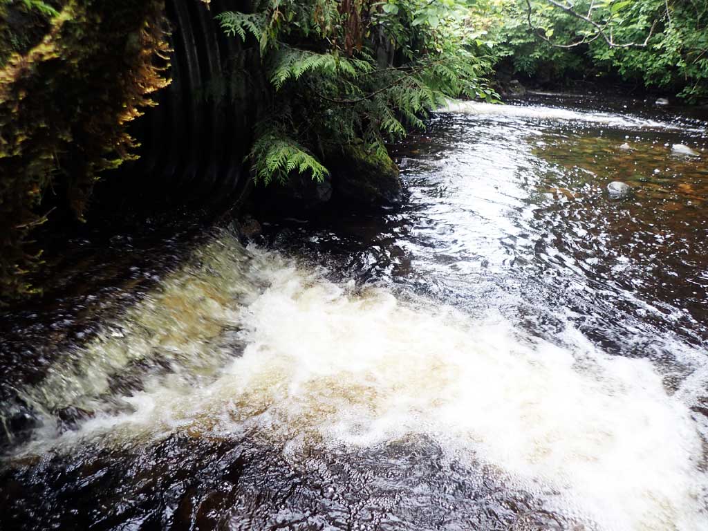
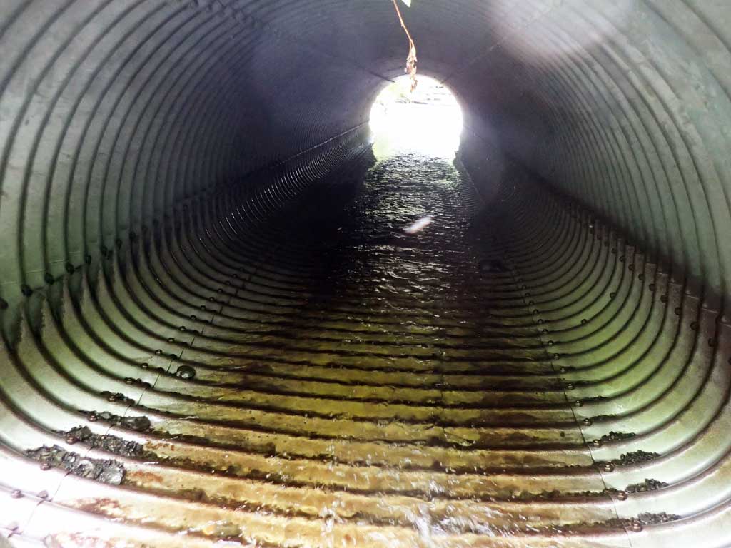
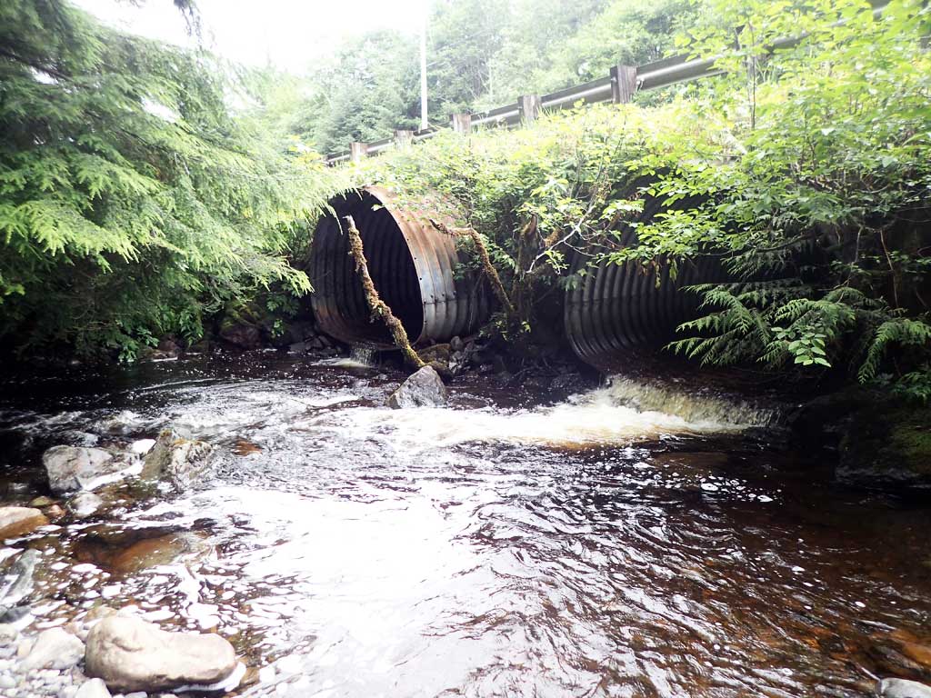
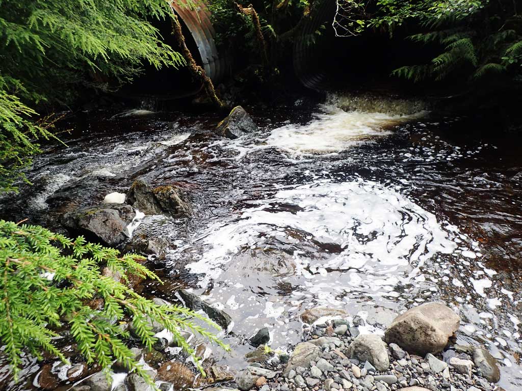
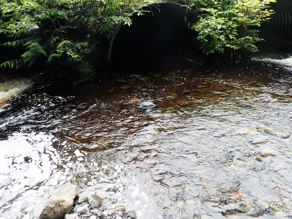
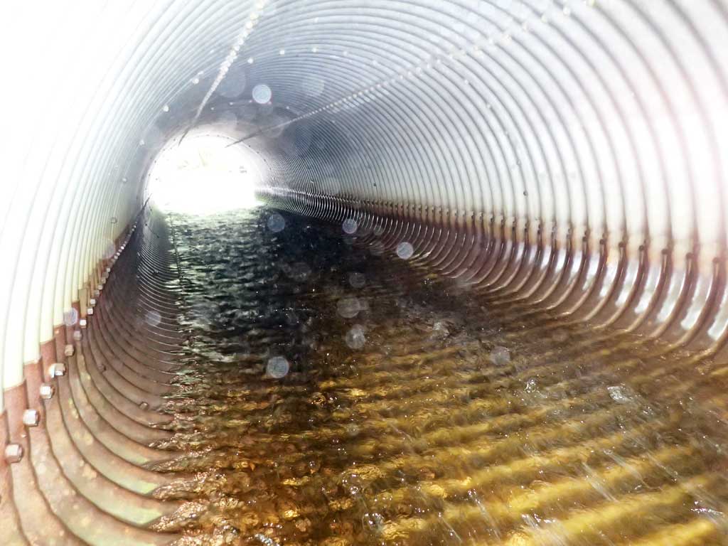
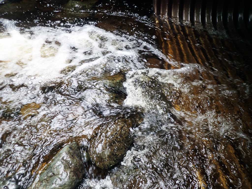
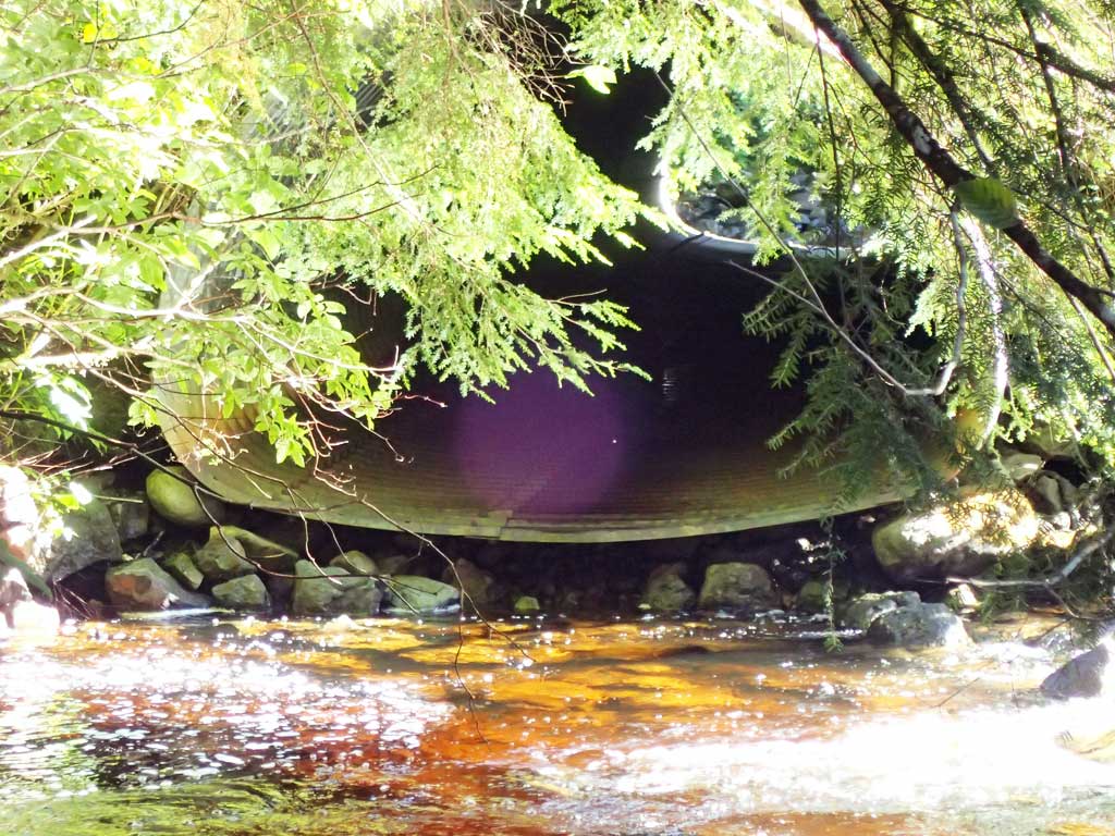
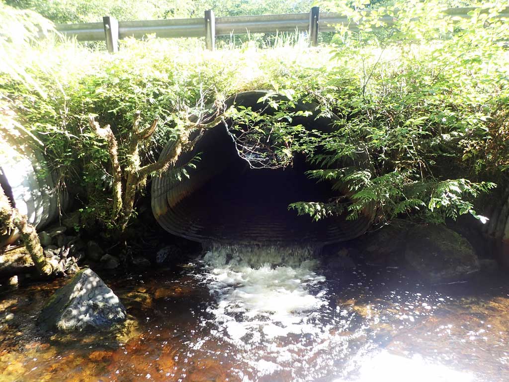
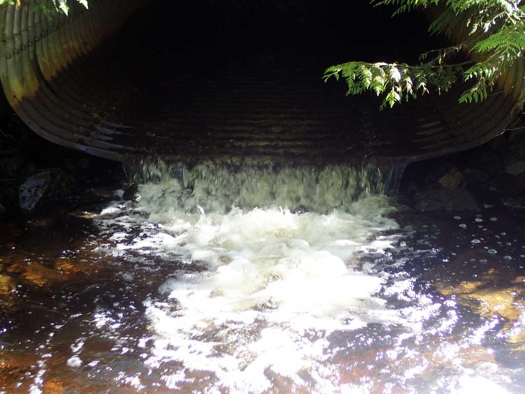
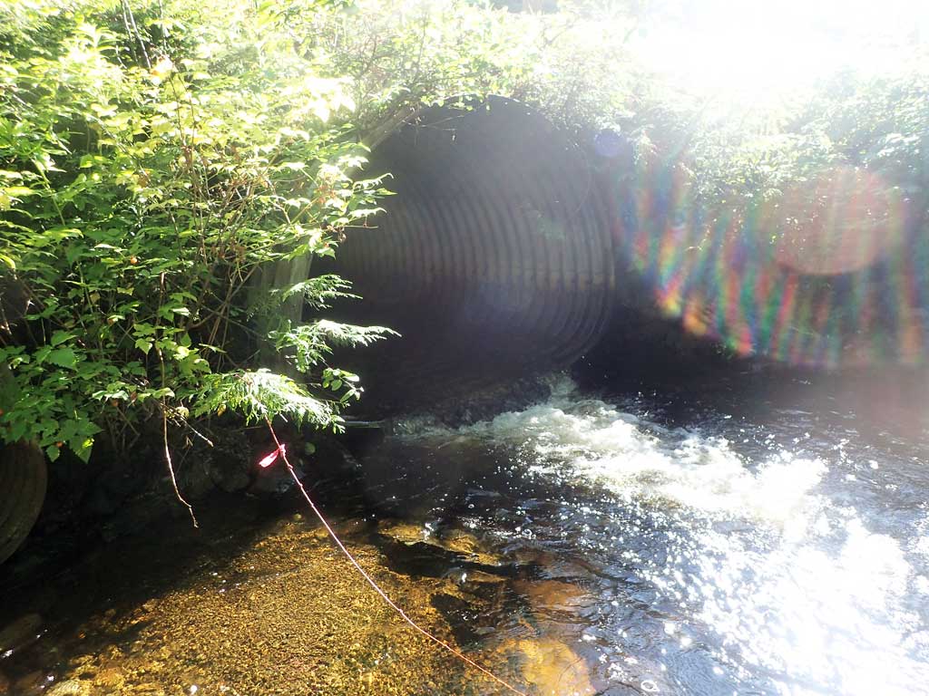
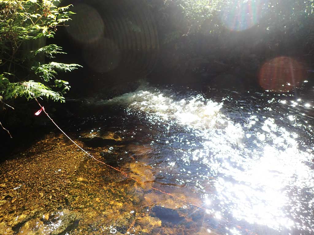
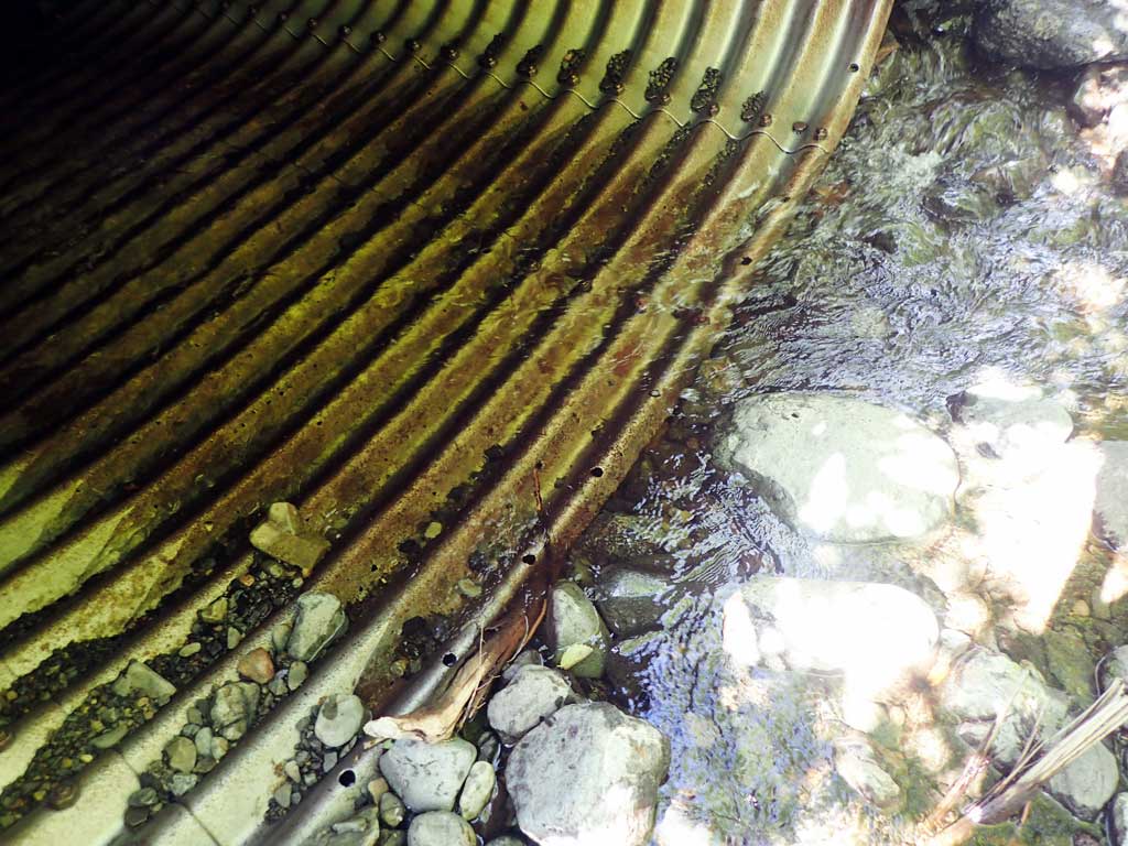
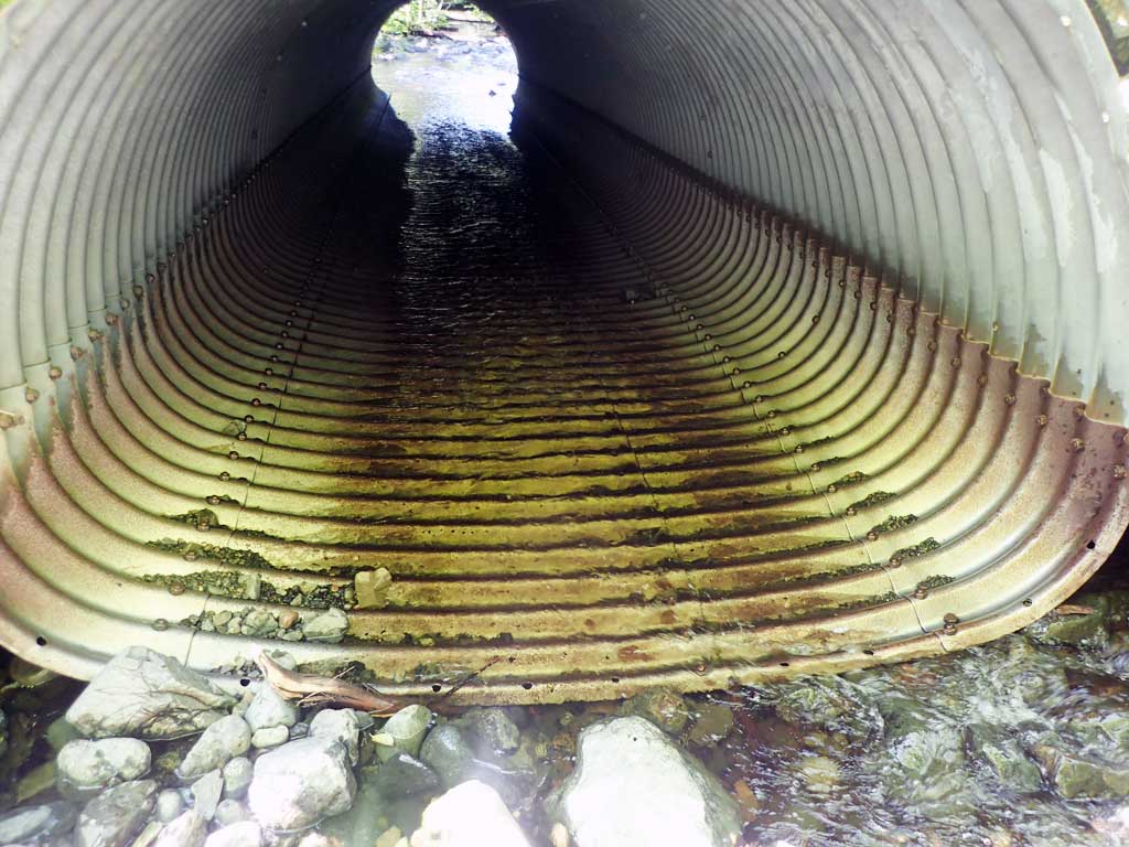
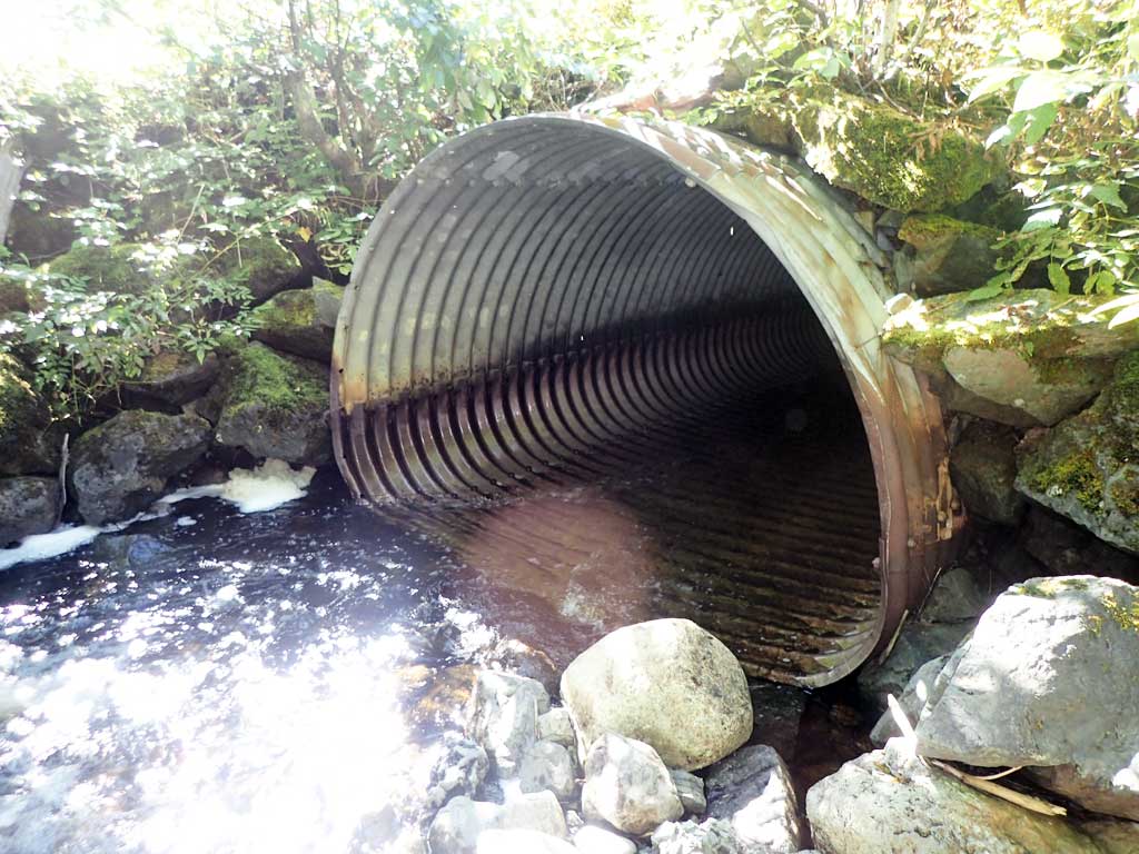
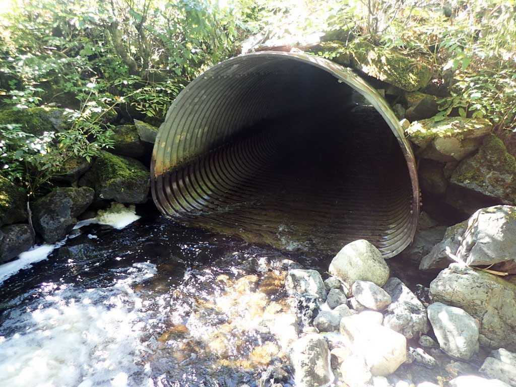
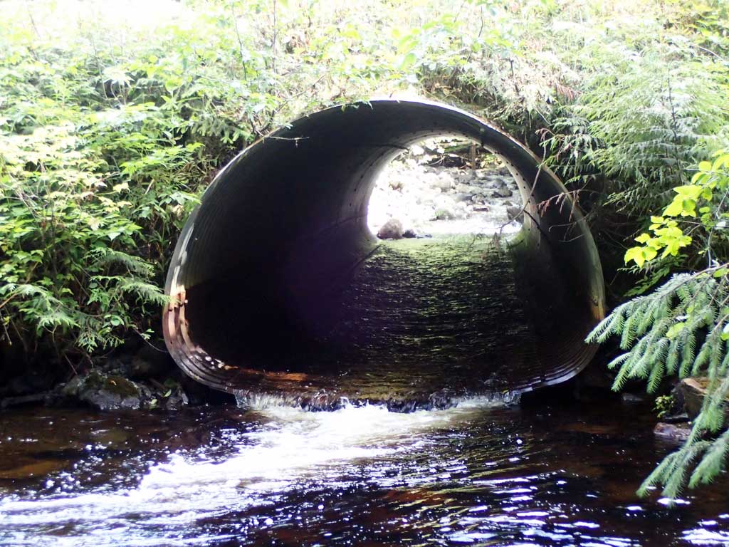
- Outfall height red
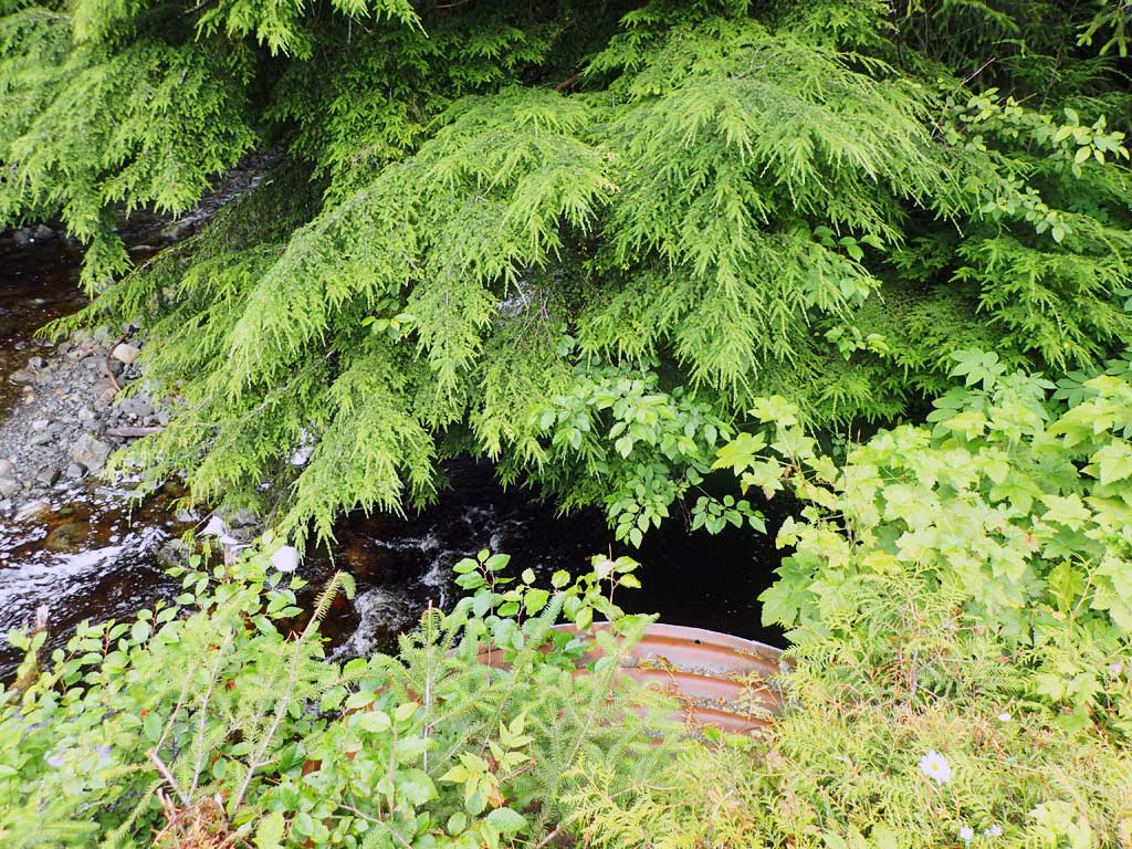
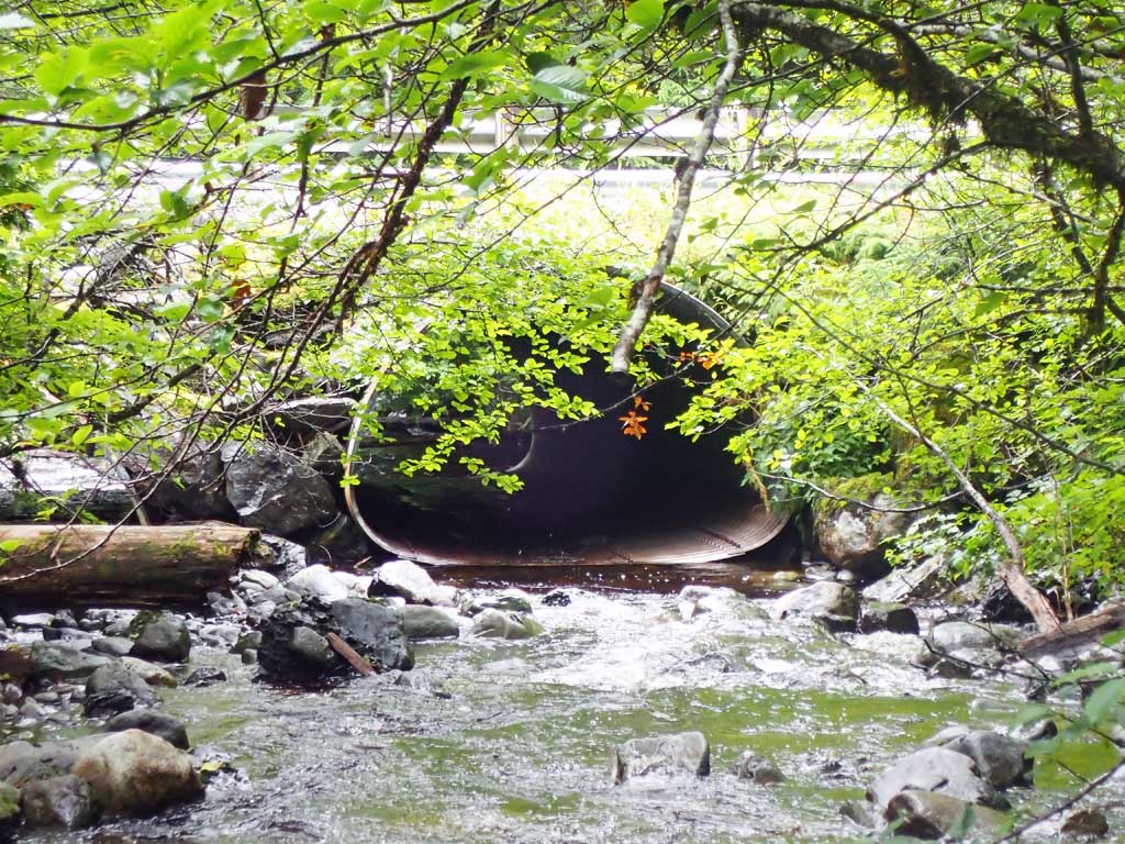
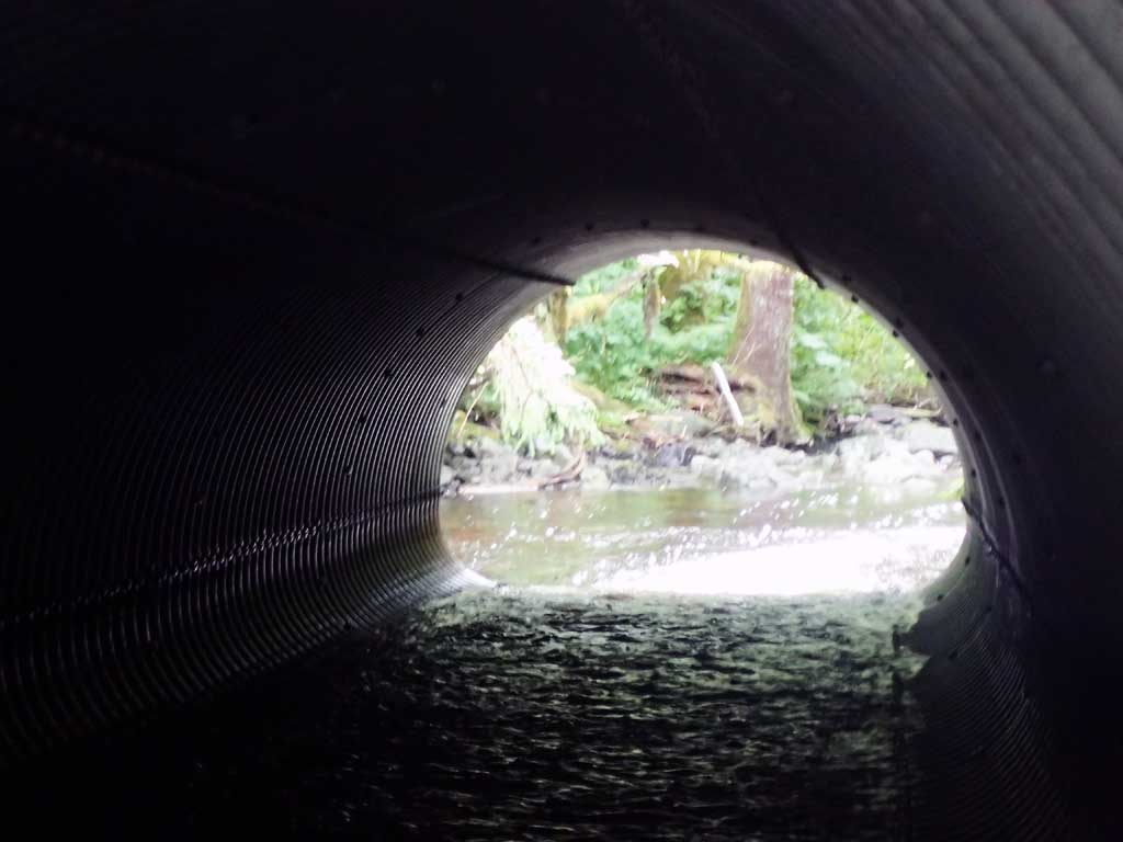
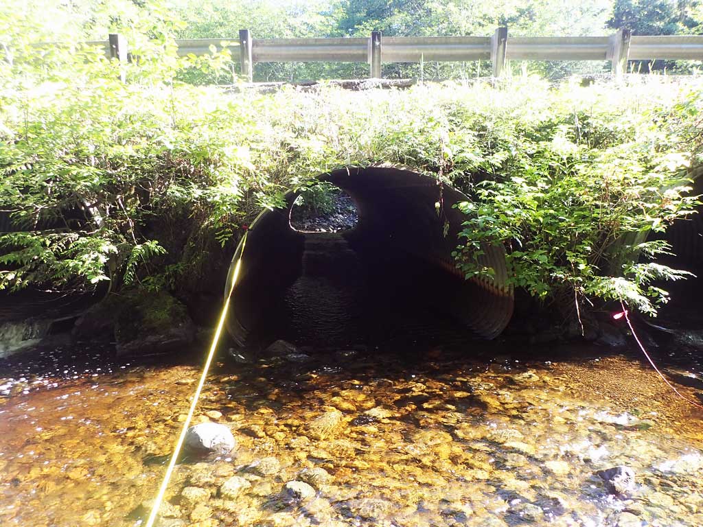
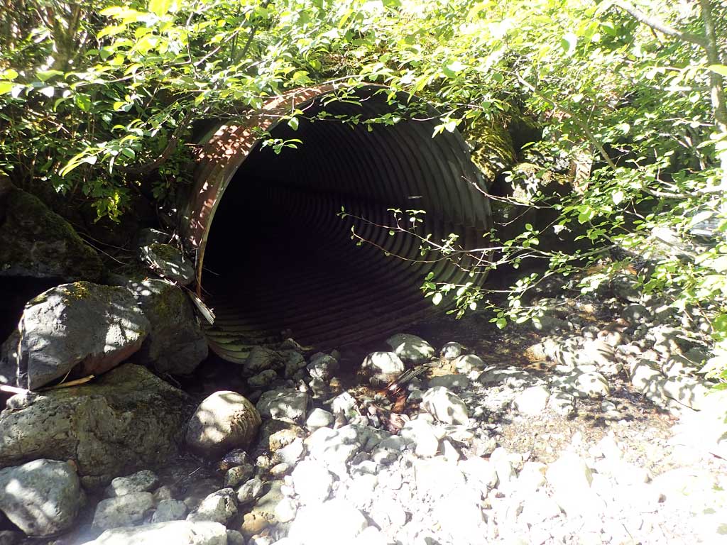
- Inlet perch
- Culvert gradient red
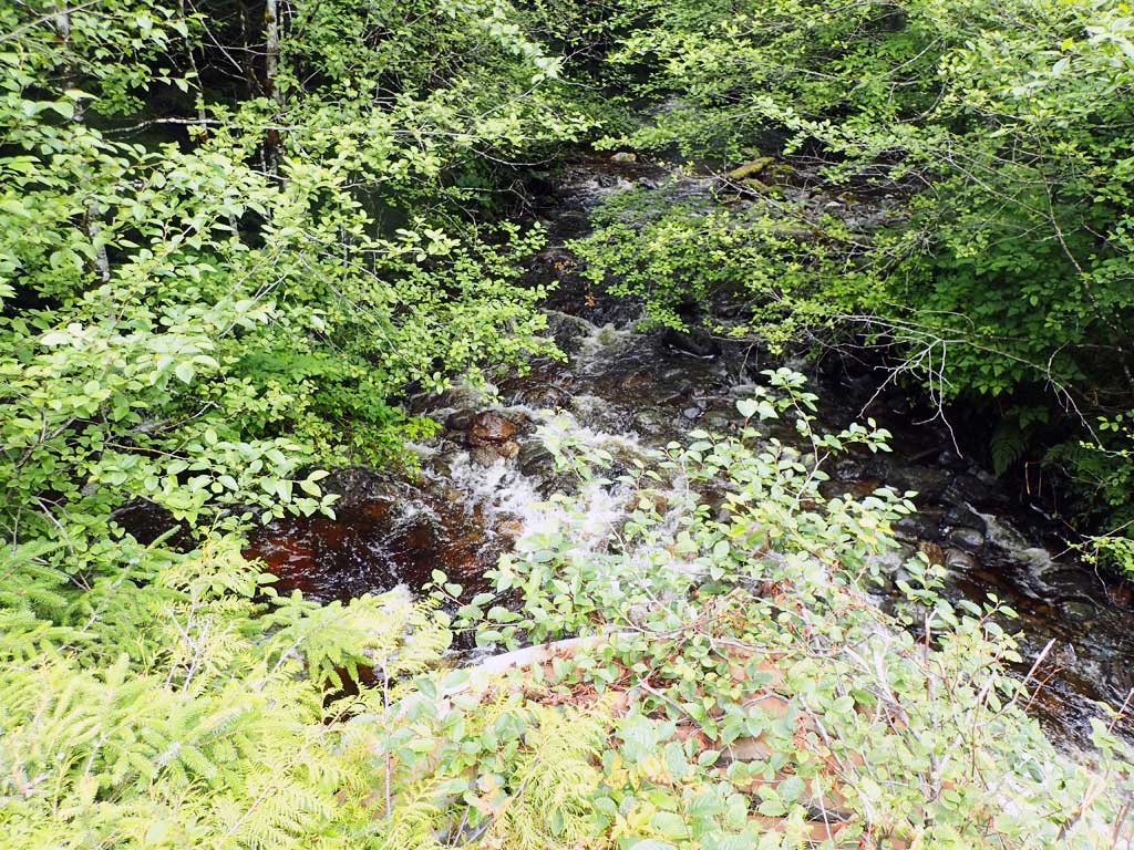
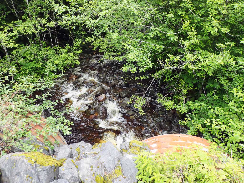
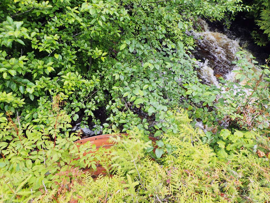
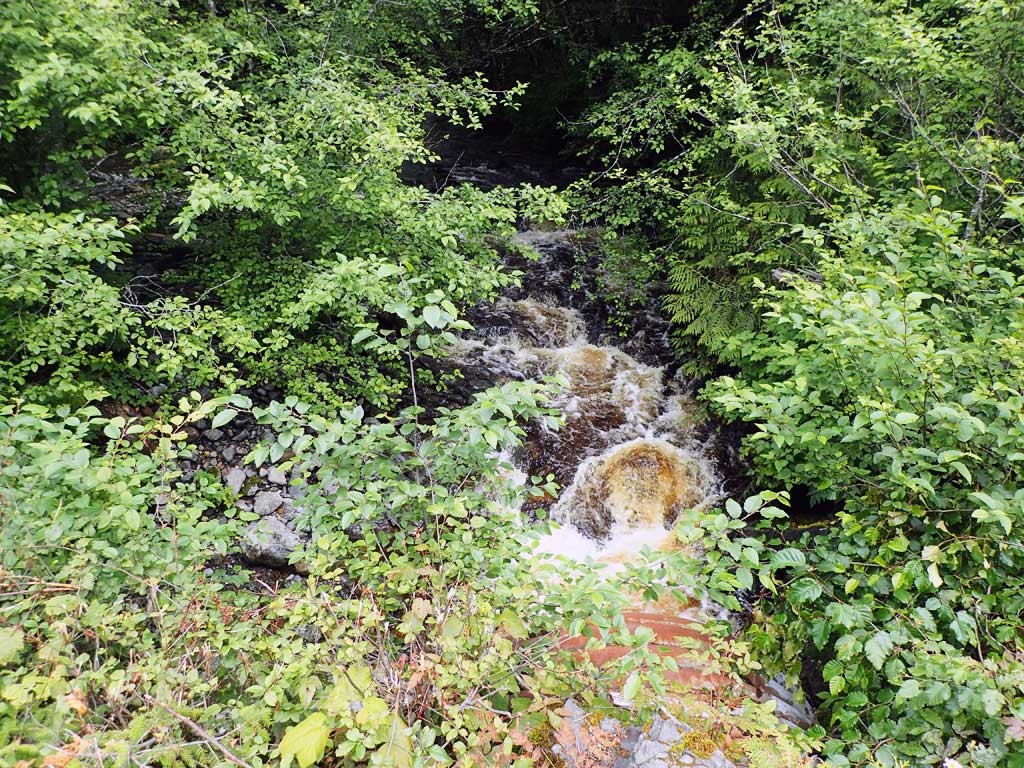
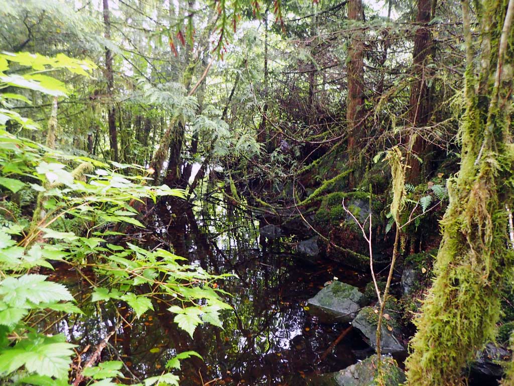
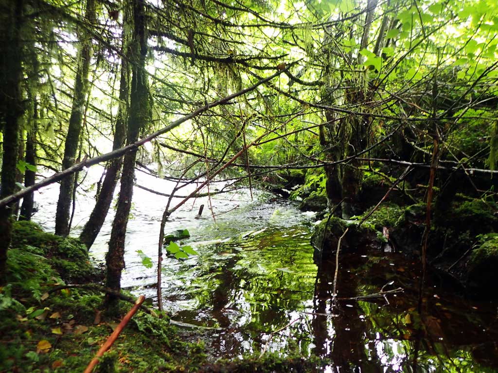
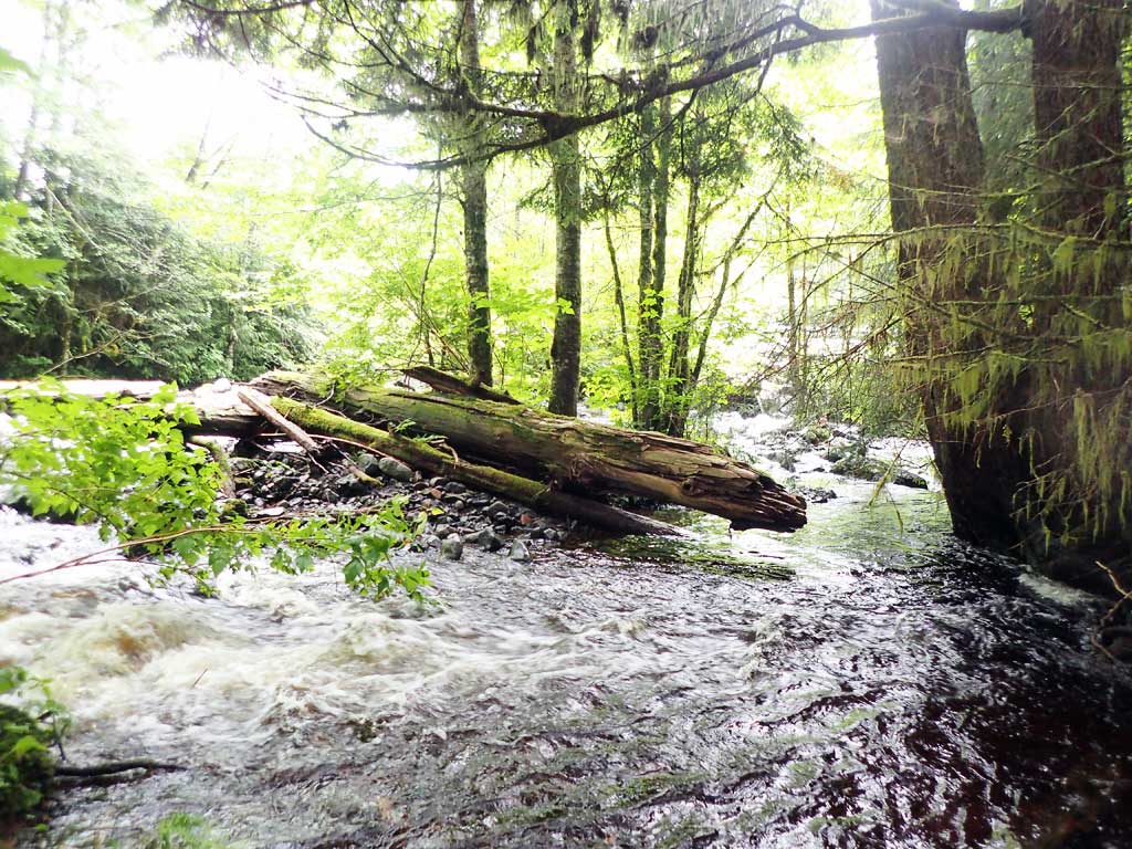
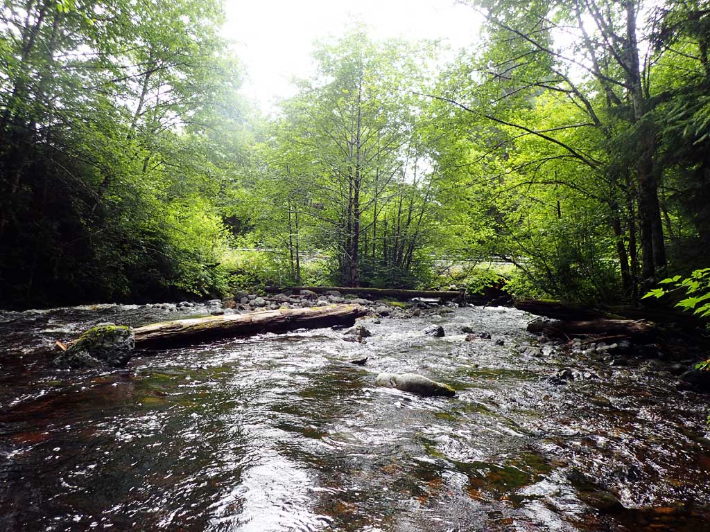
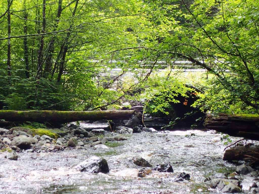
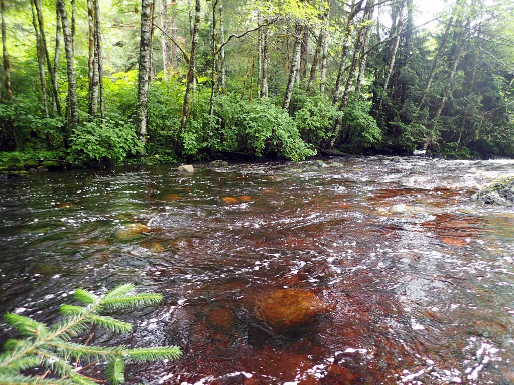
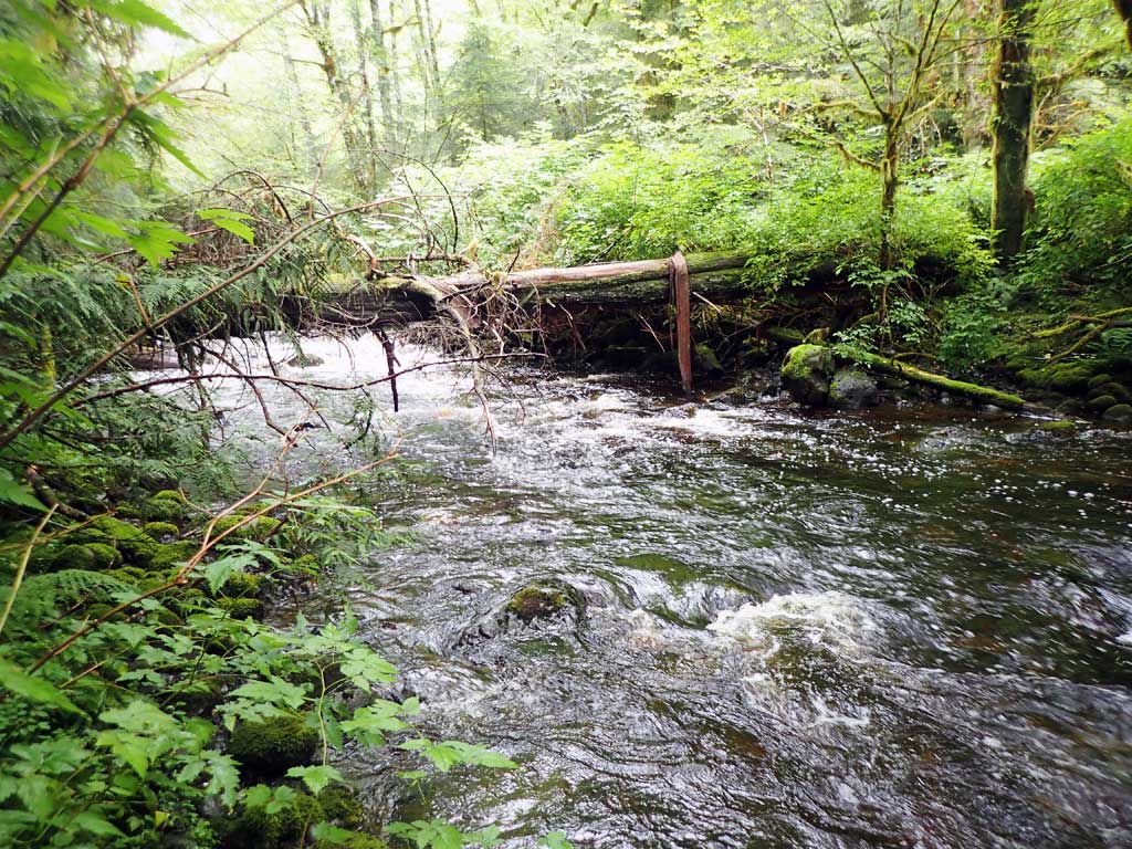
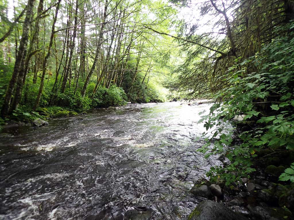
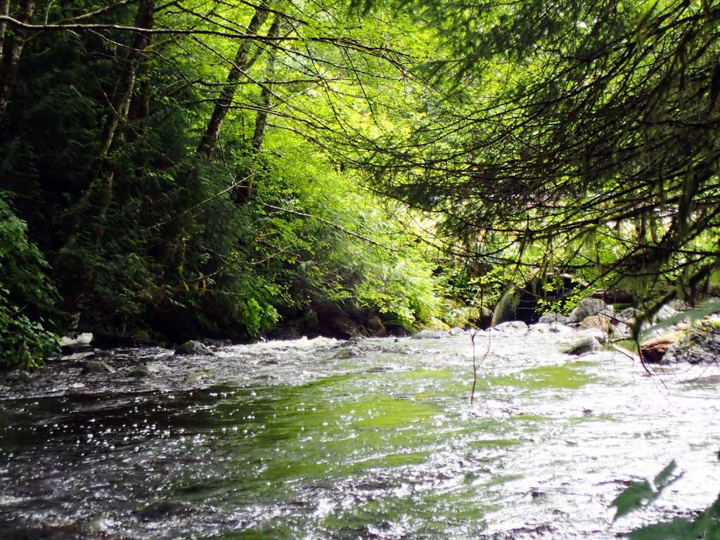
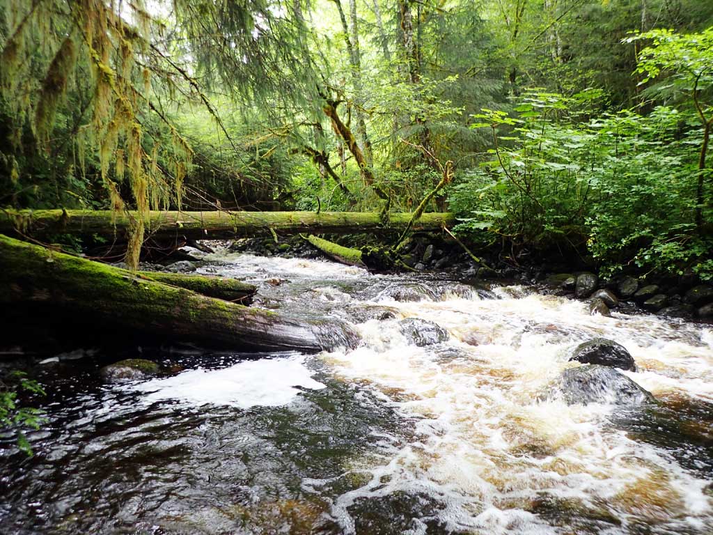
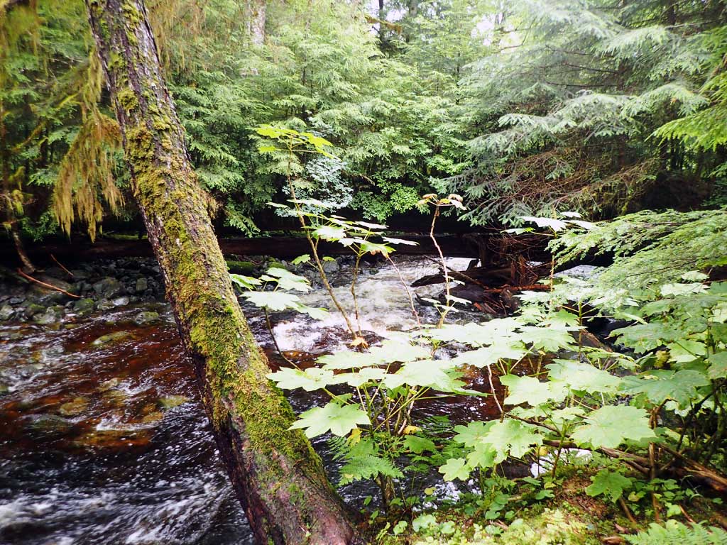
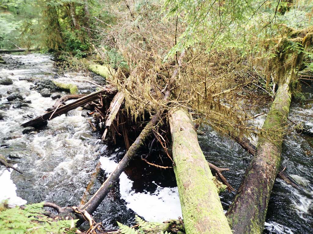
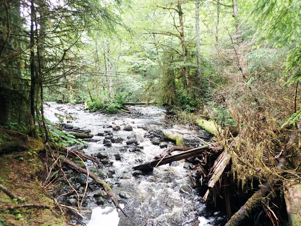
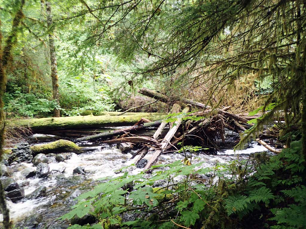
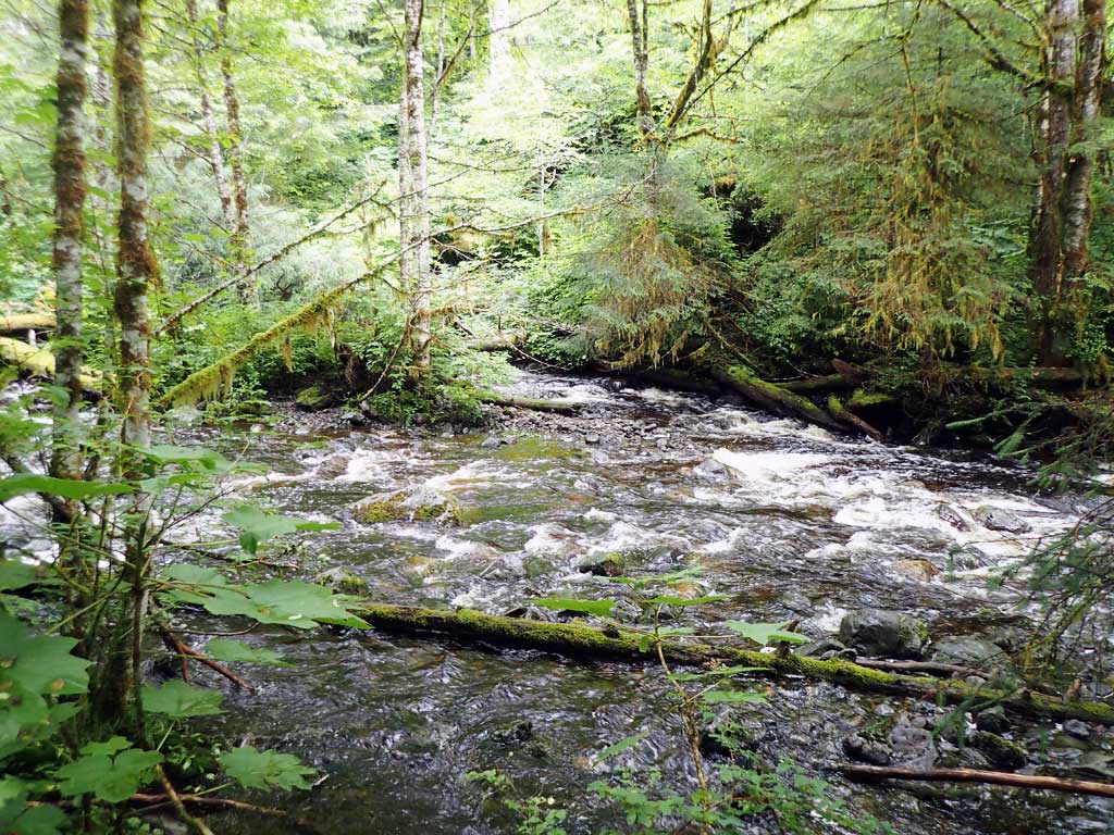
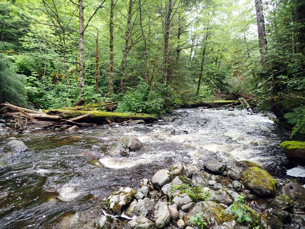
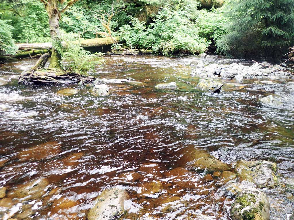
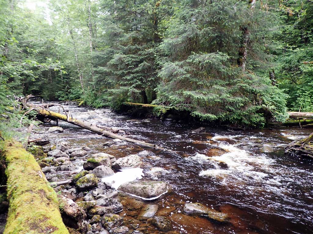
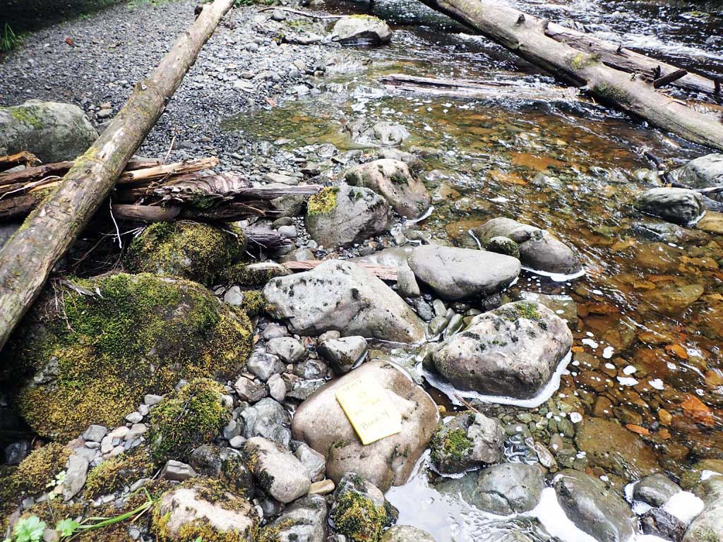
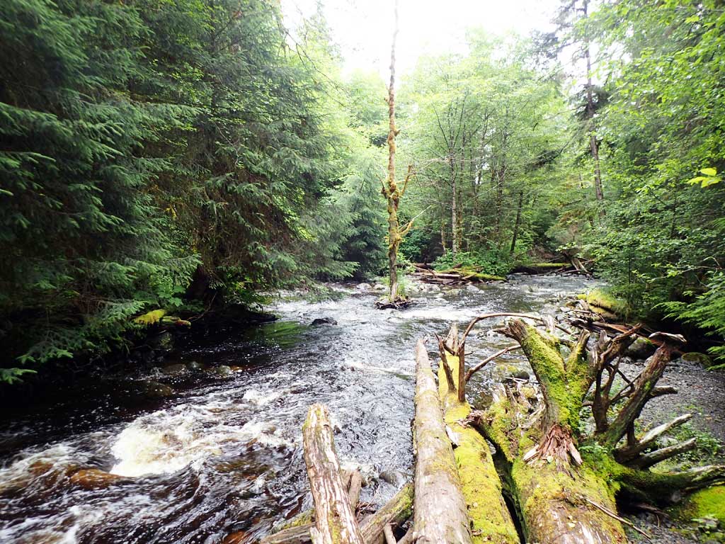
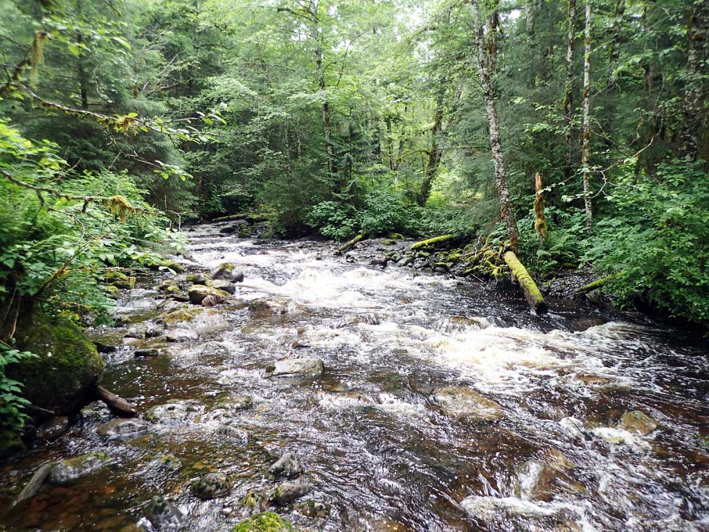
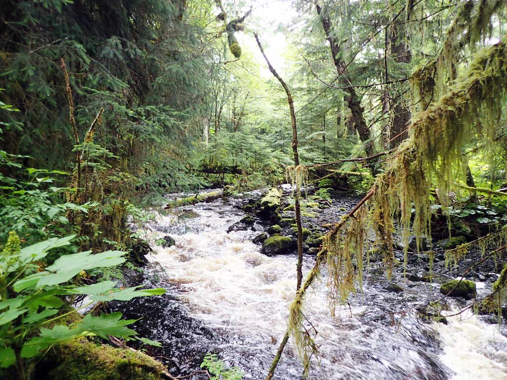
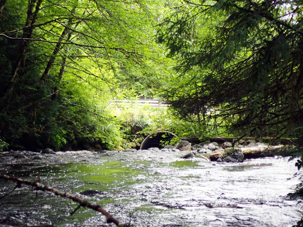
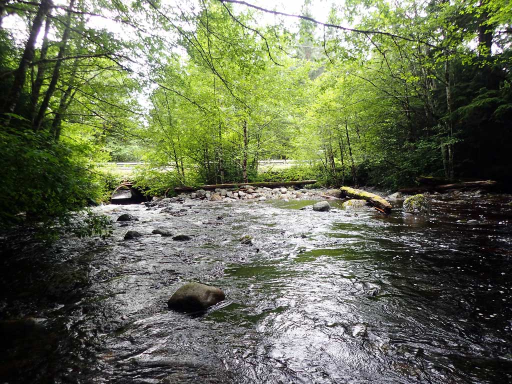
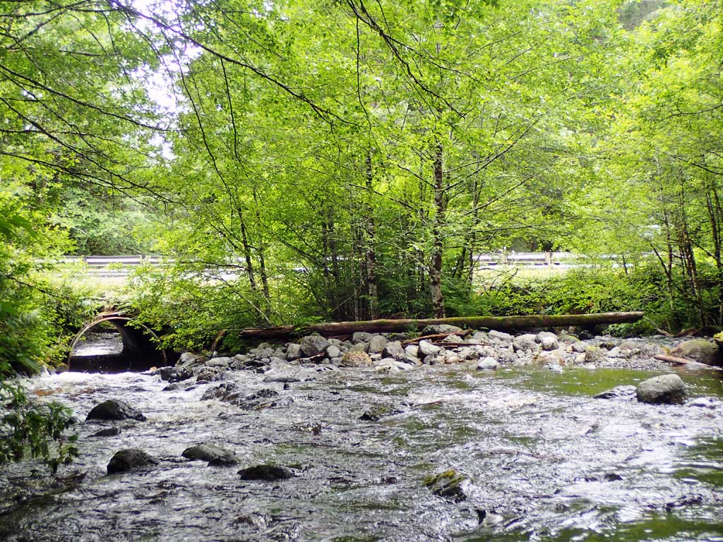
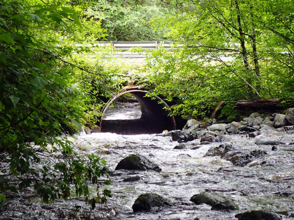
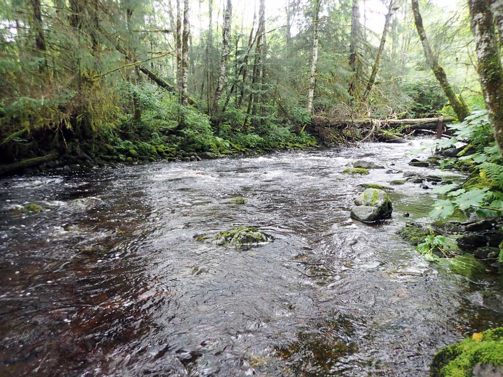
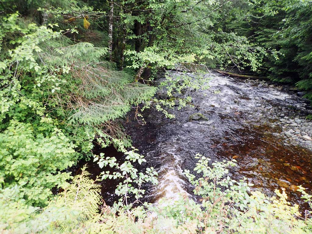
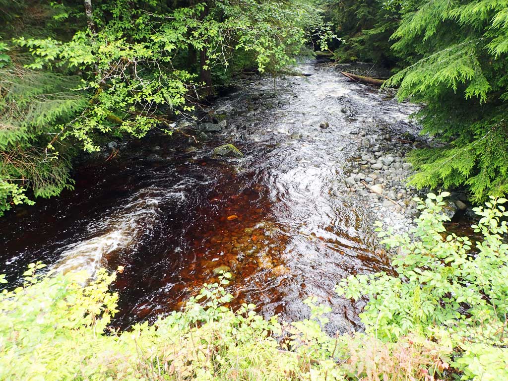
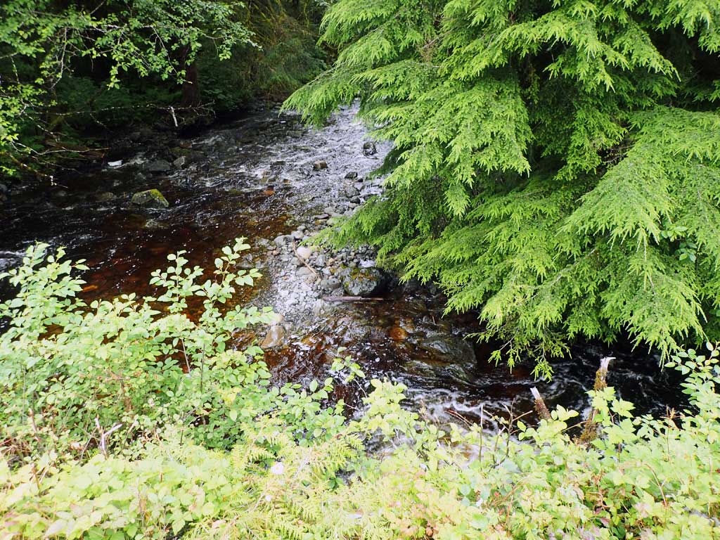
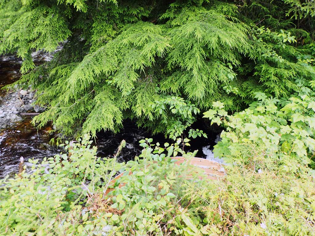
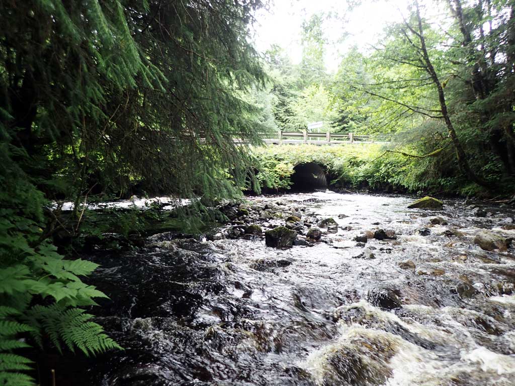
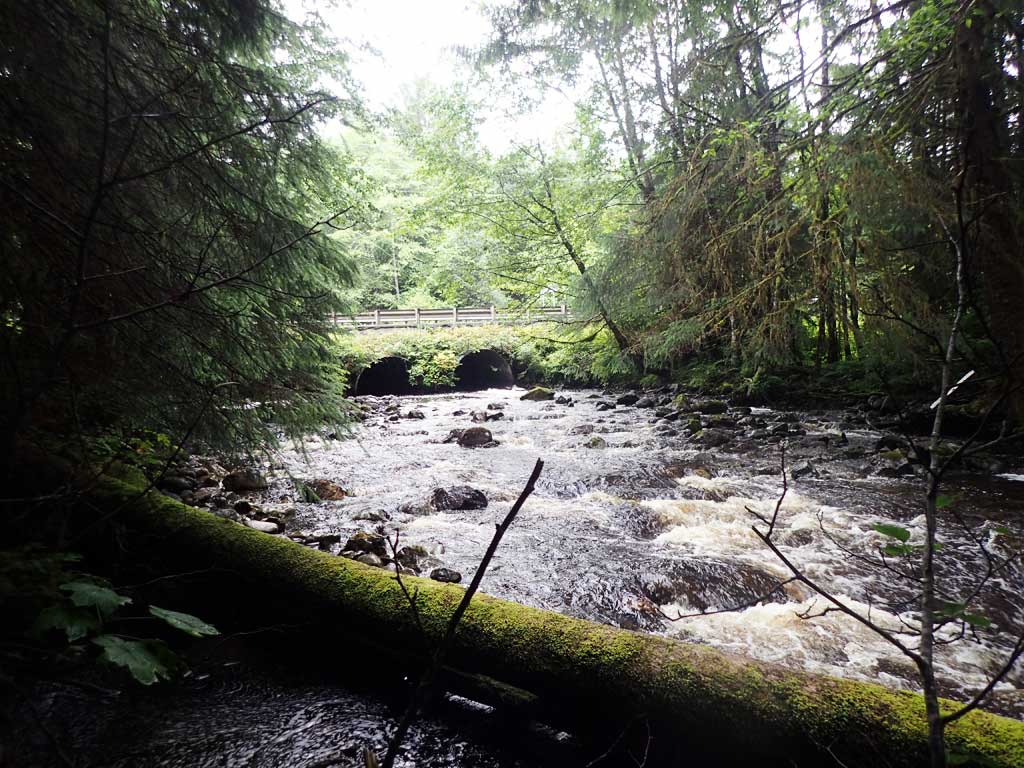
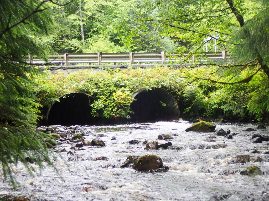
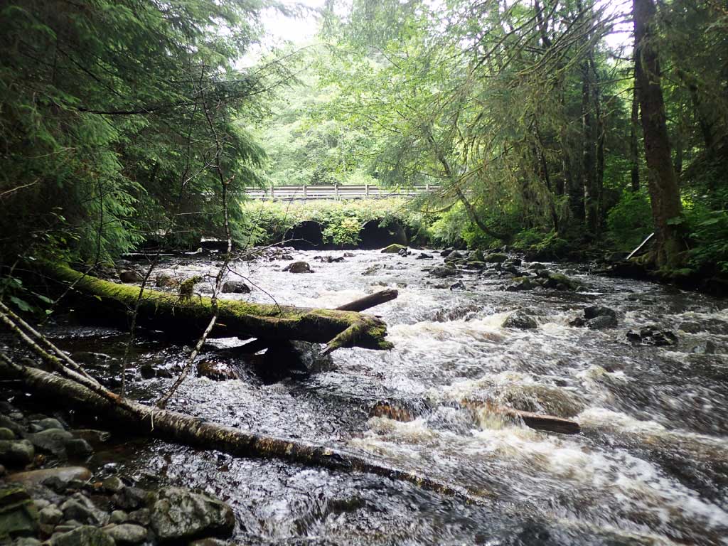
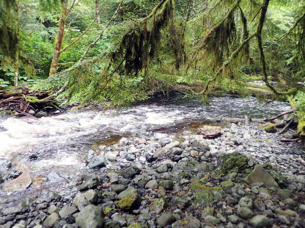
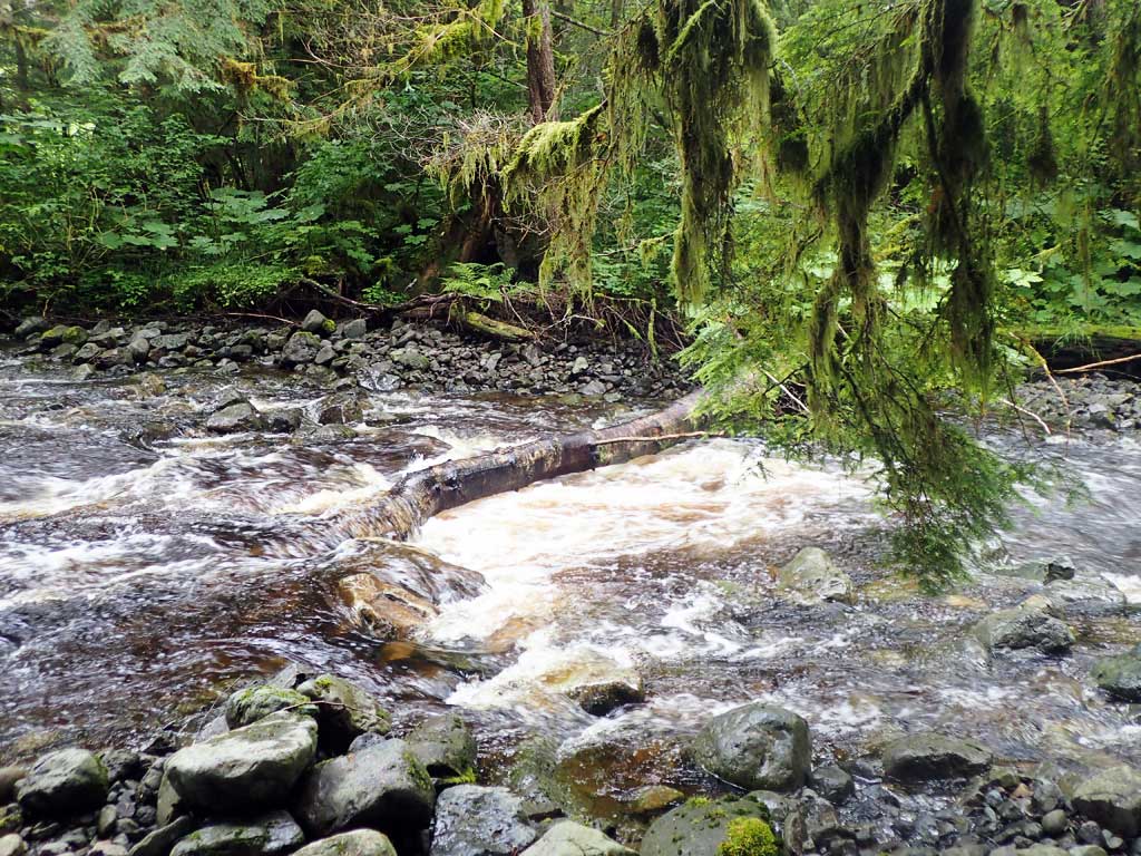
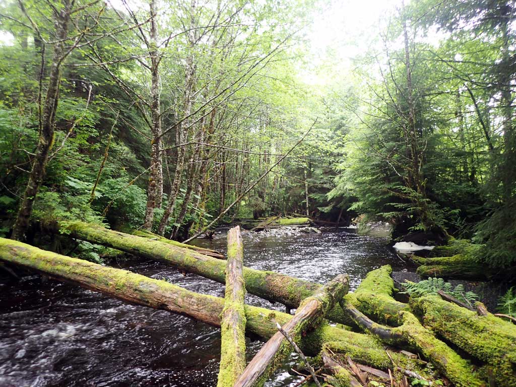
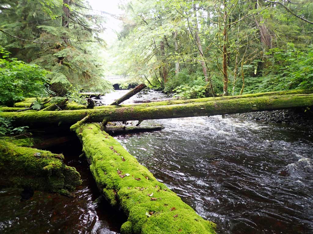
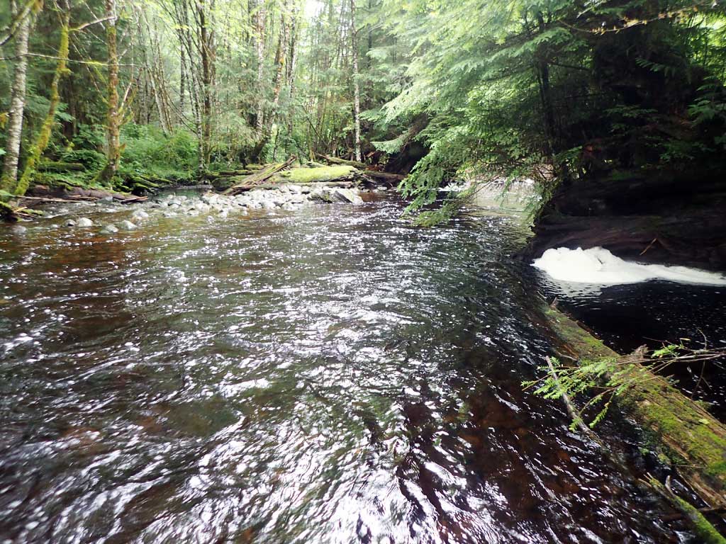
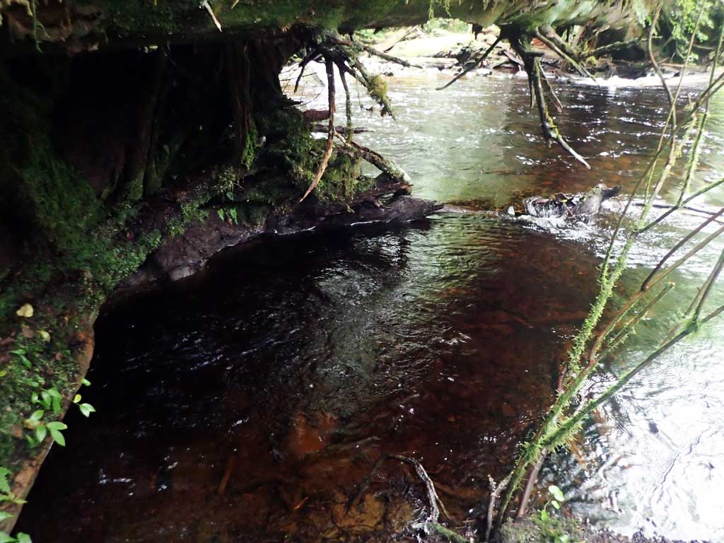
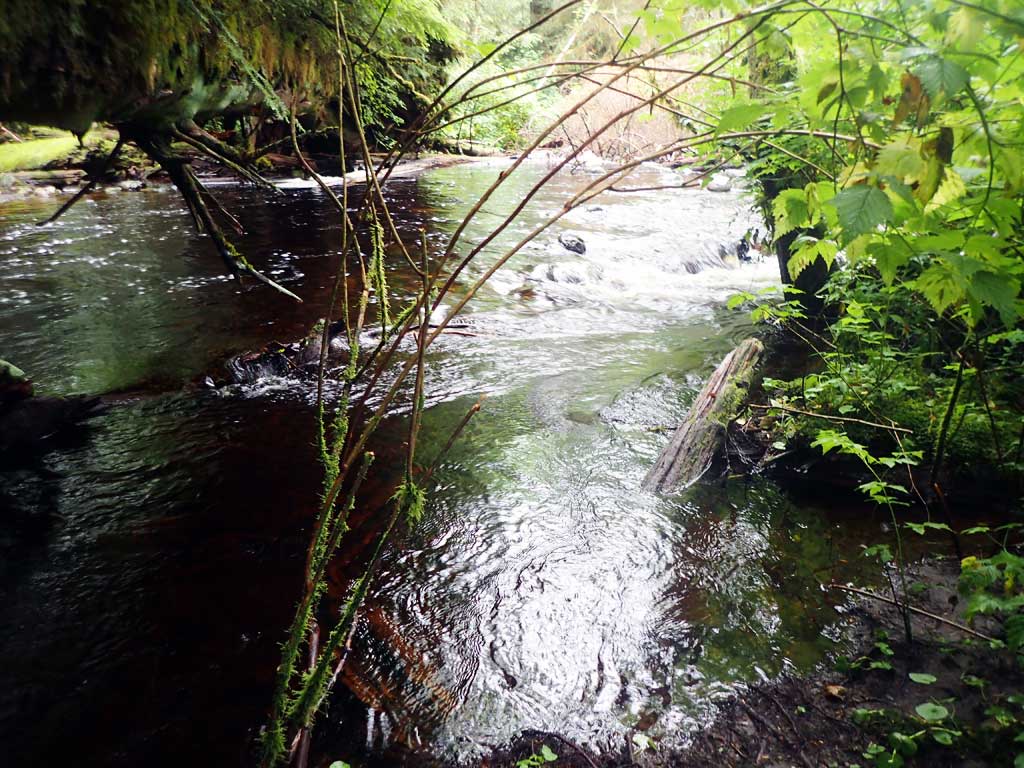
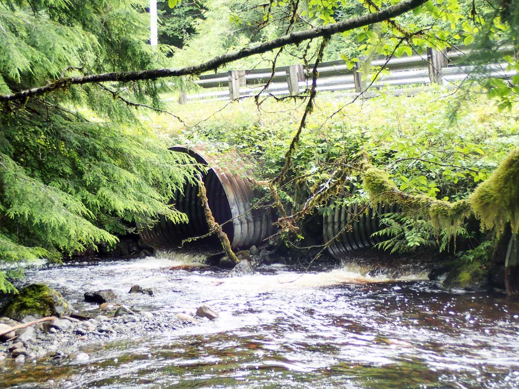
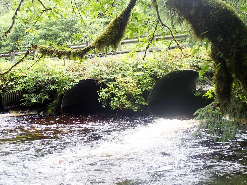
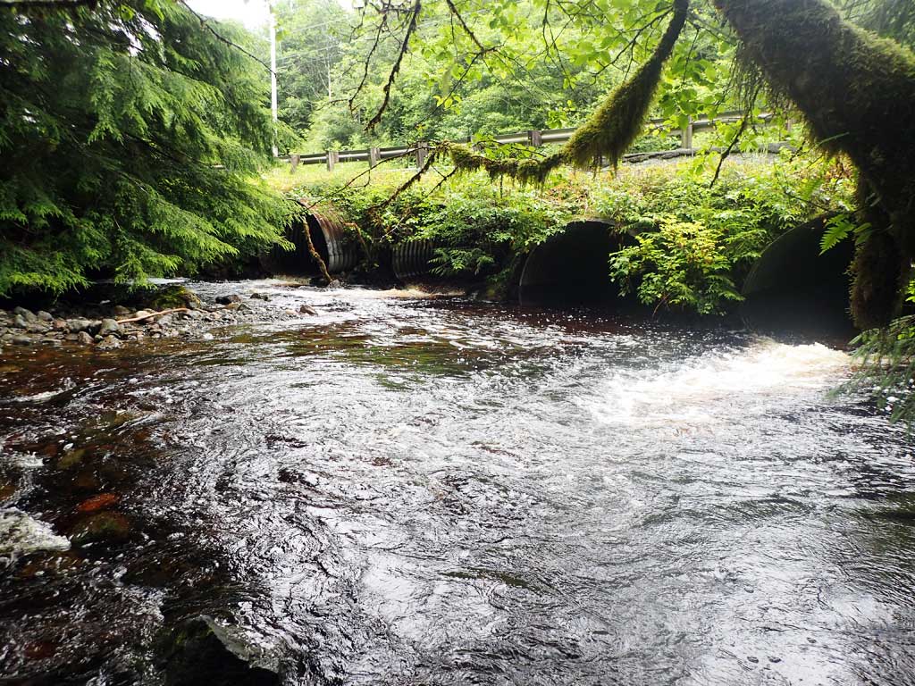
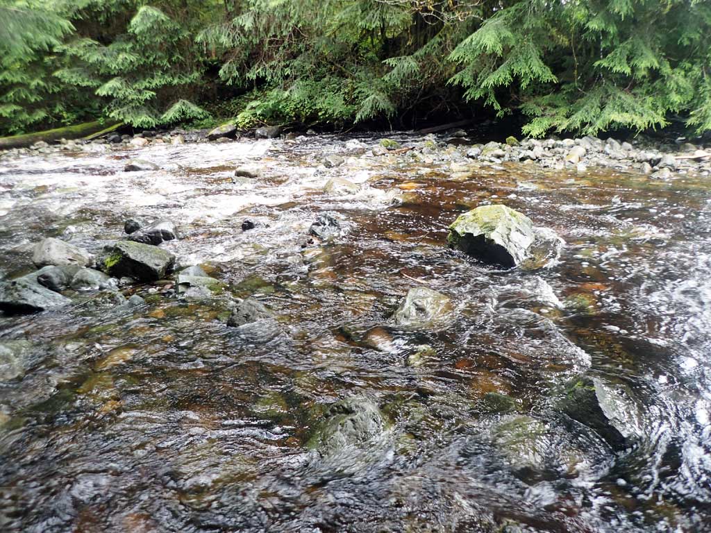
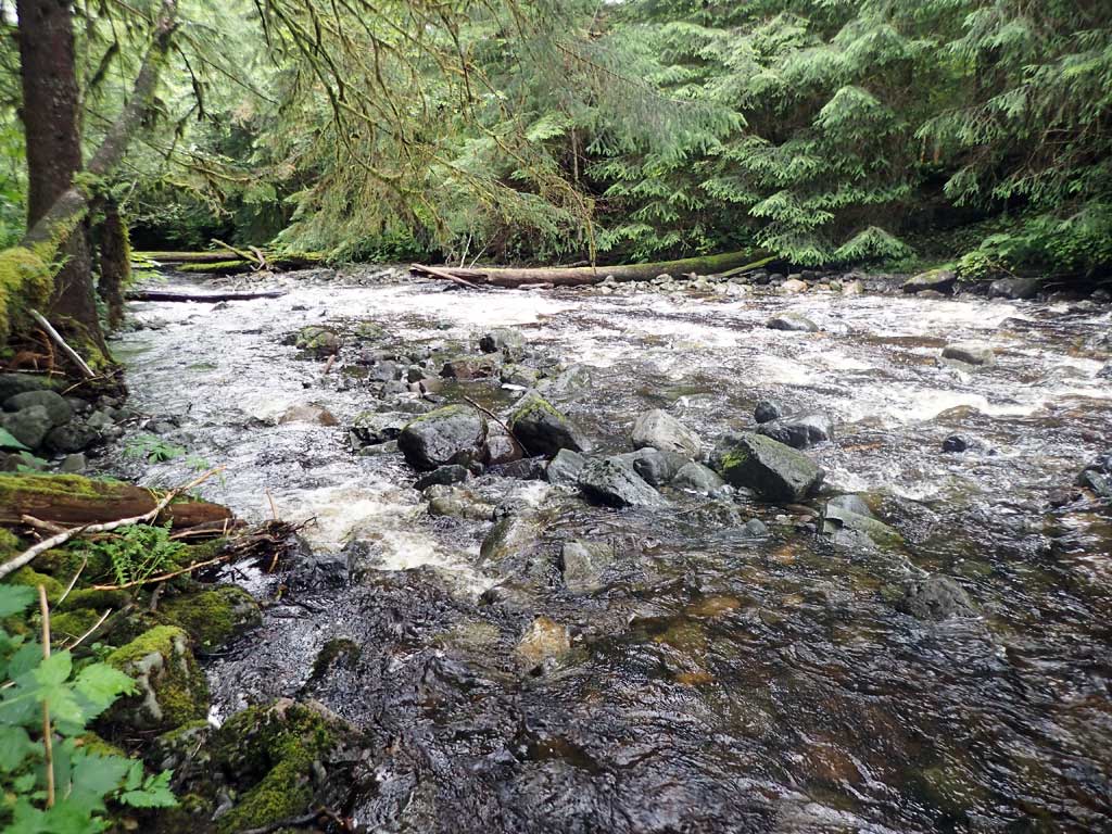
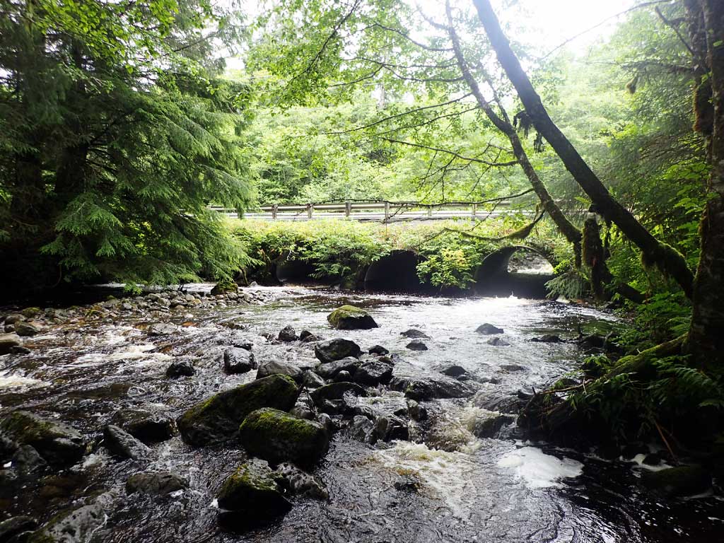
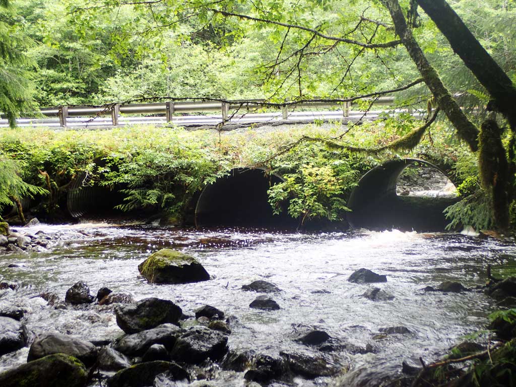
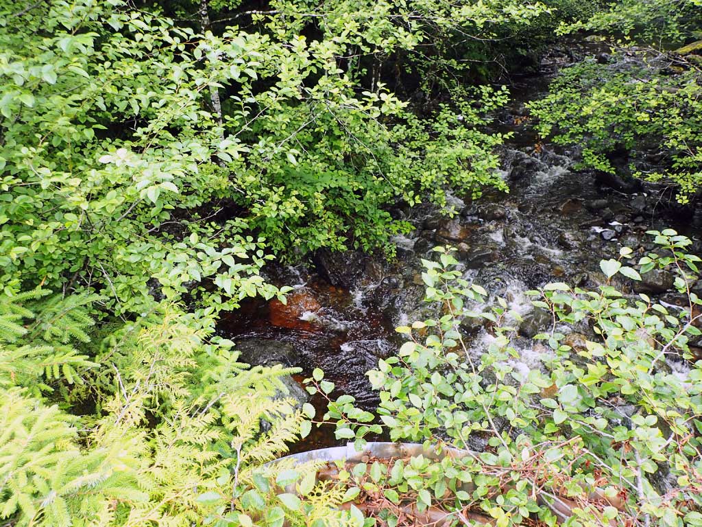
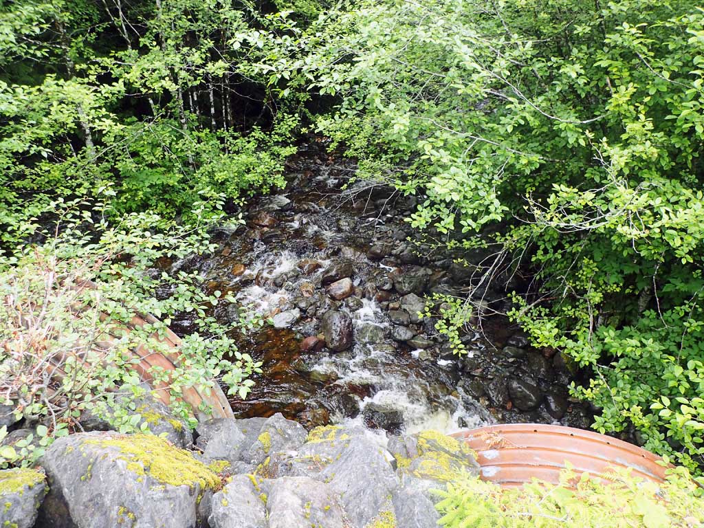
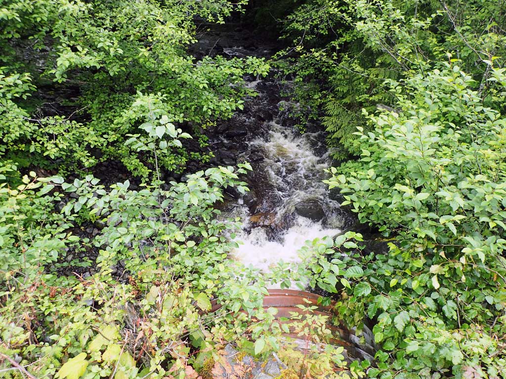
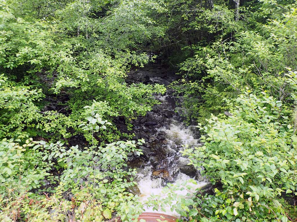
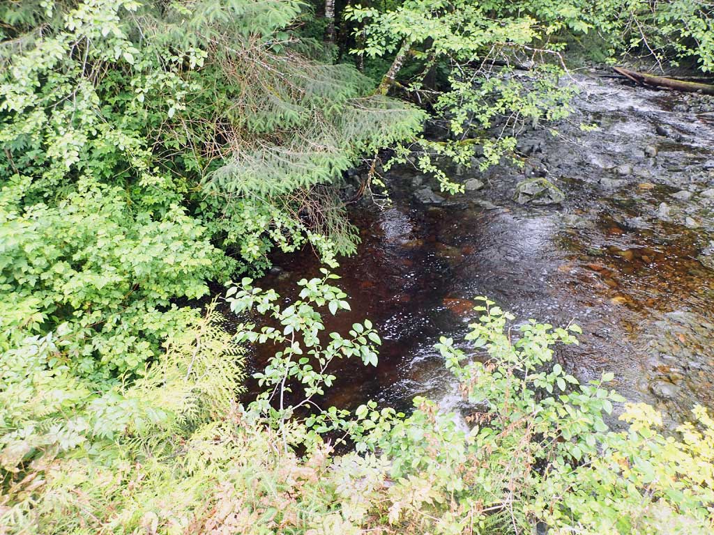
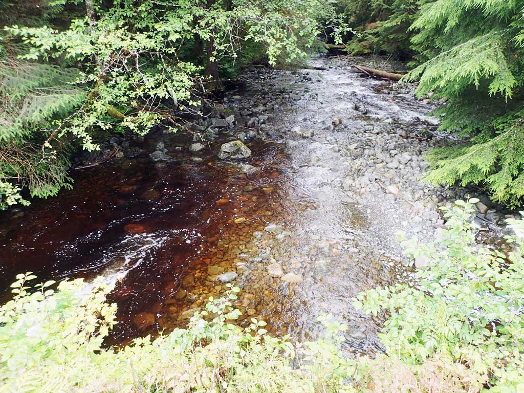
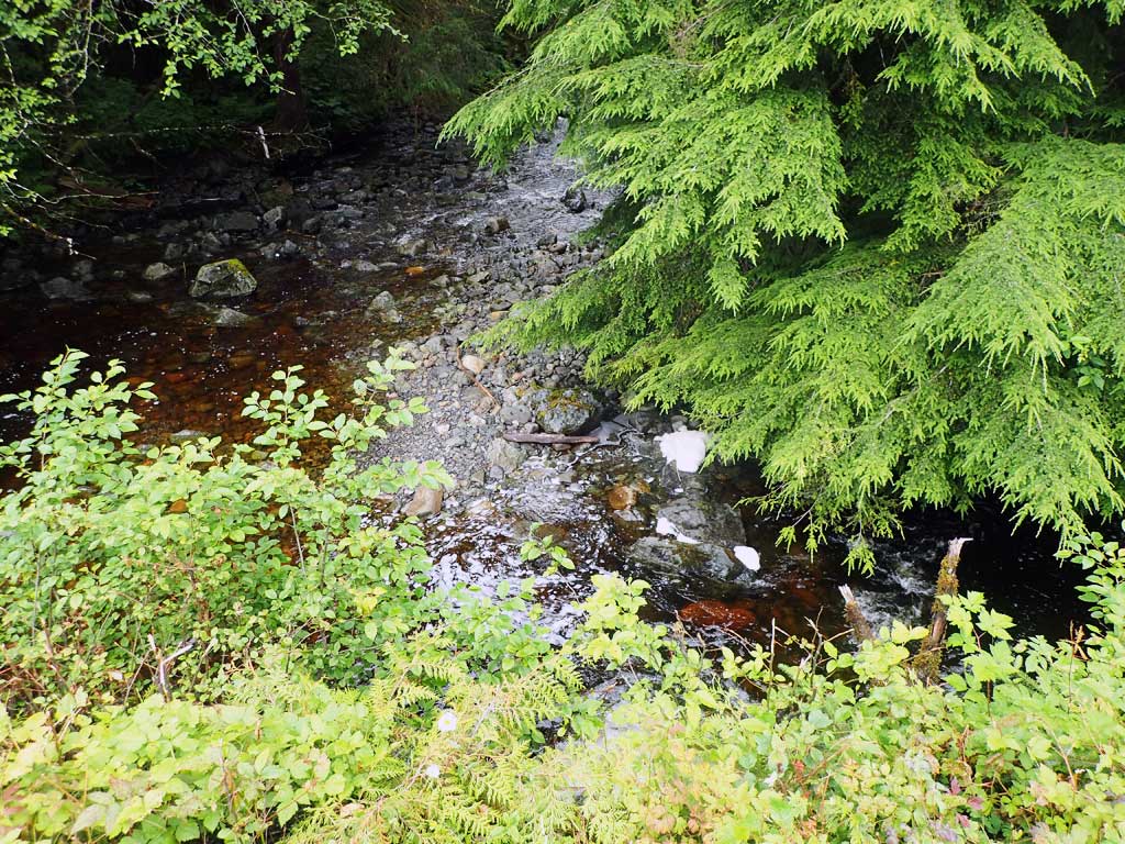
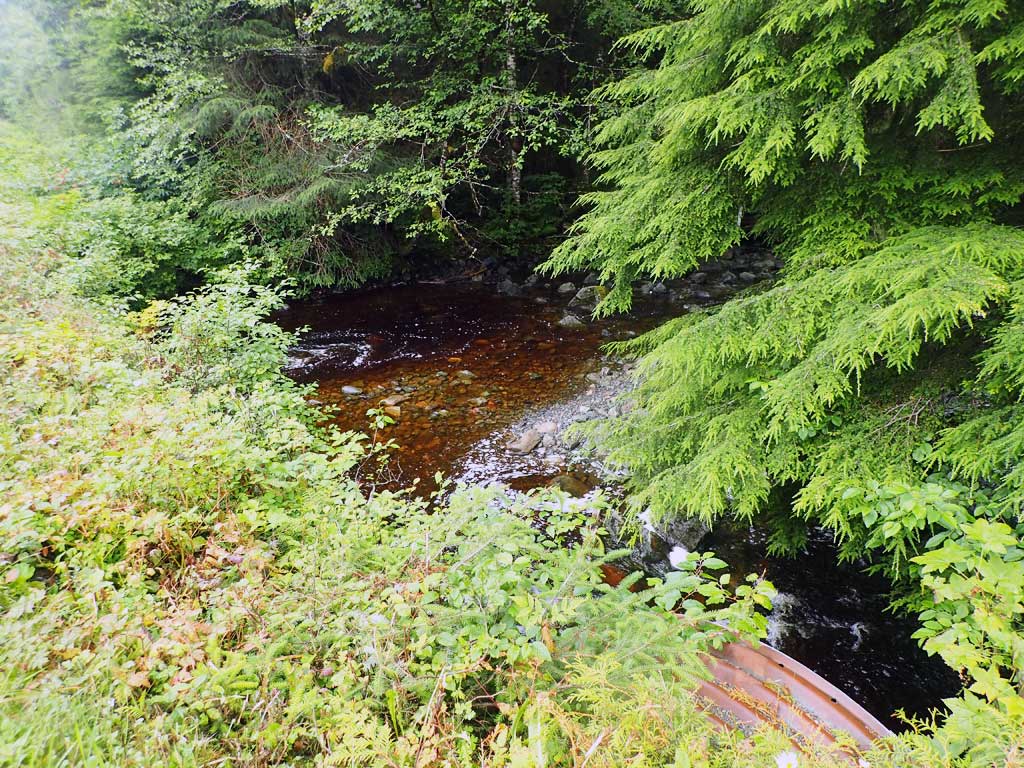
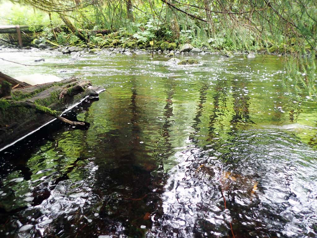
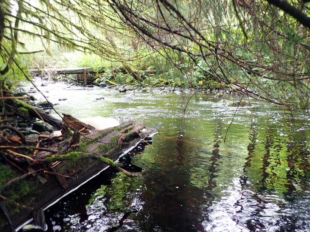
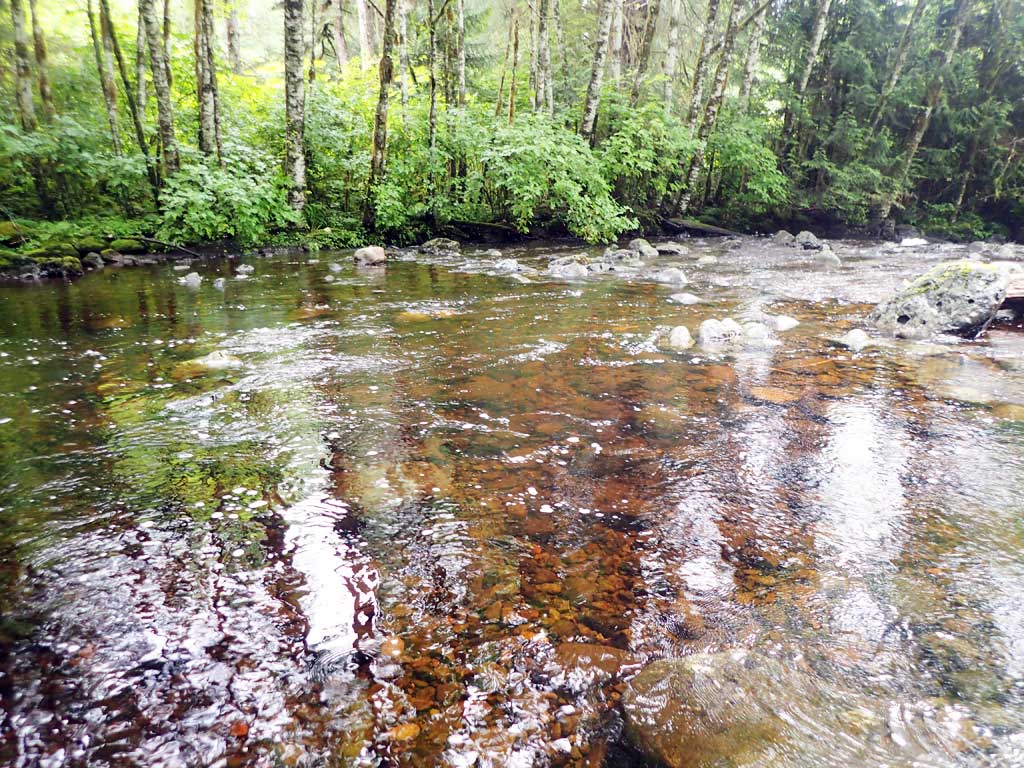
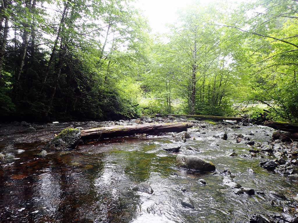
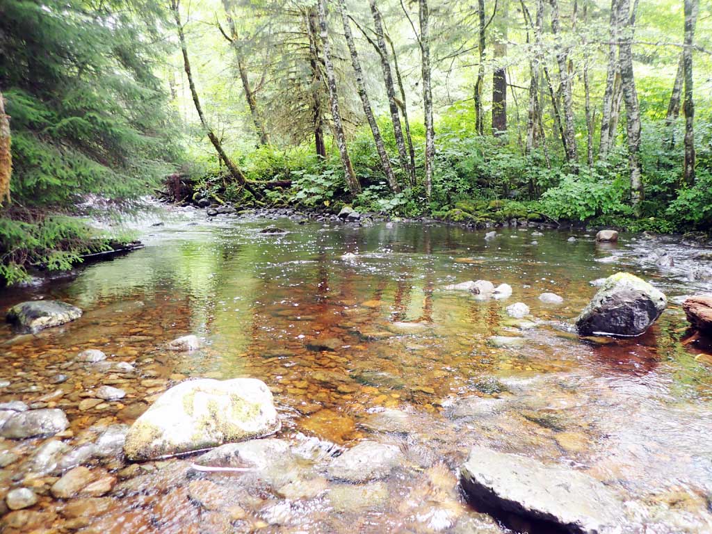
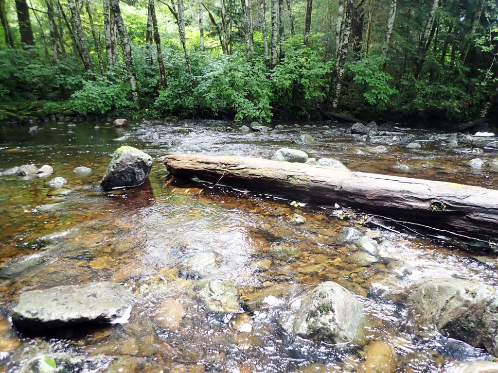
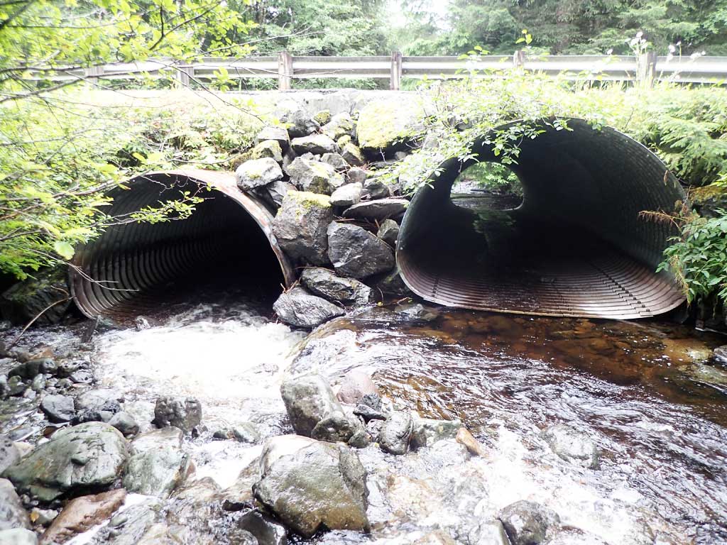
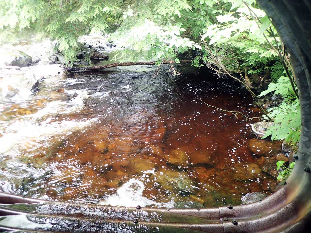
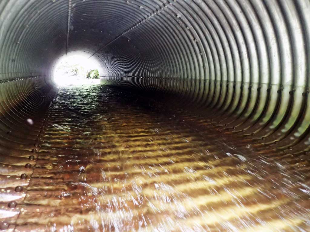
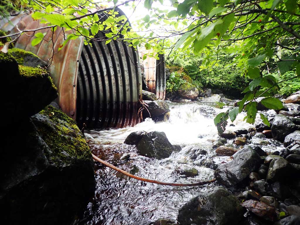
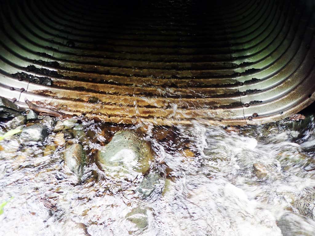
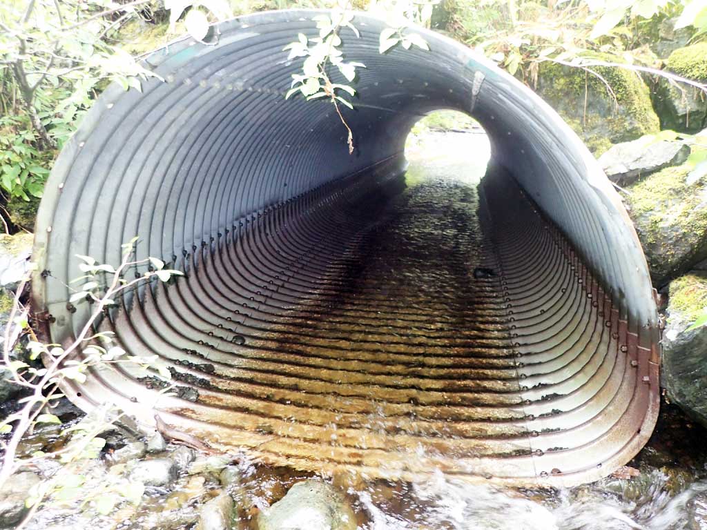
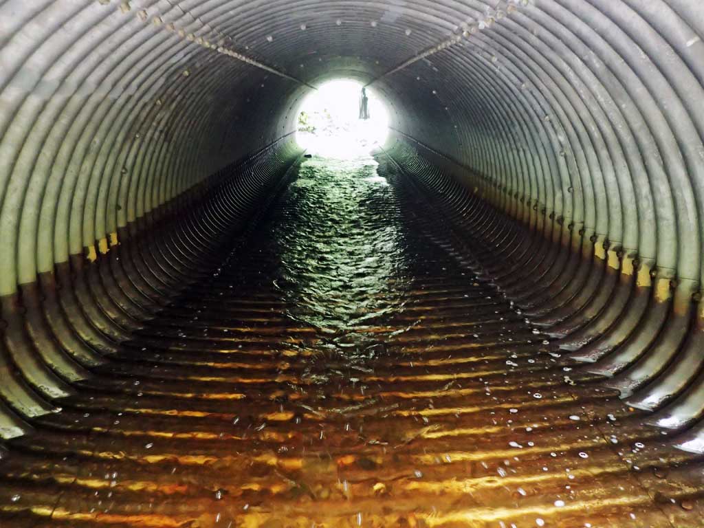
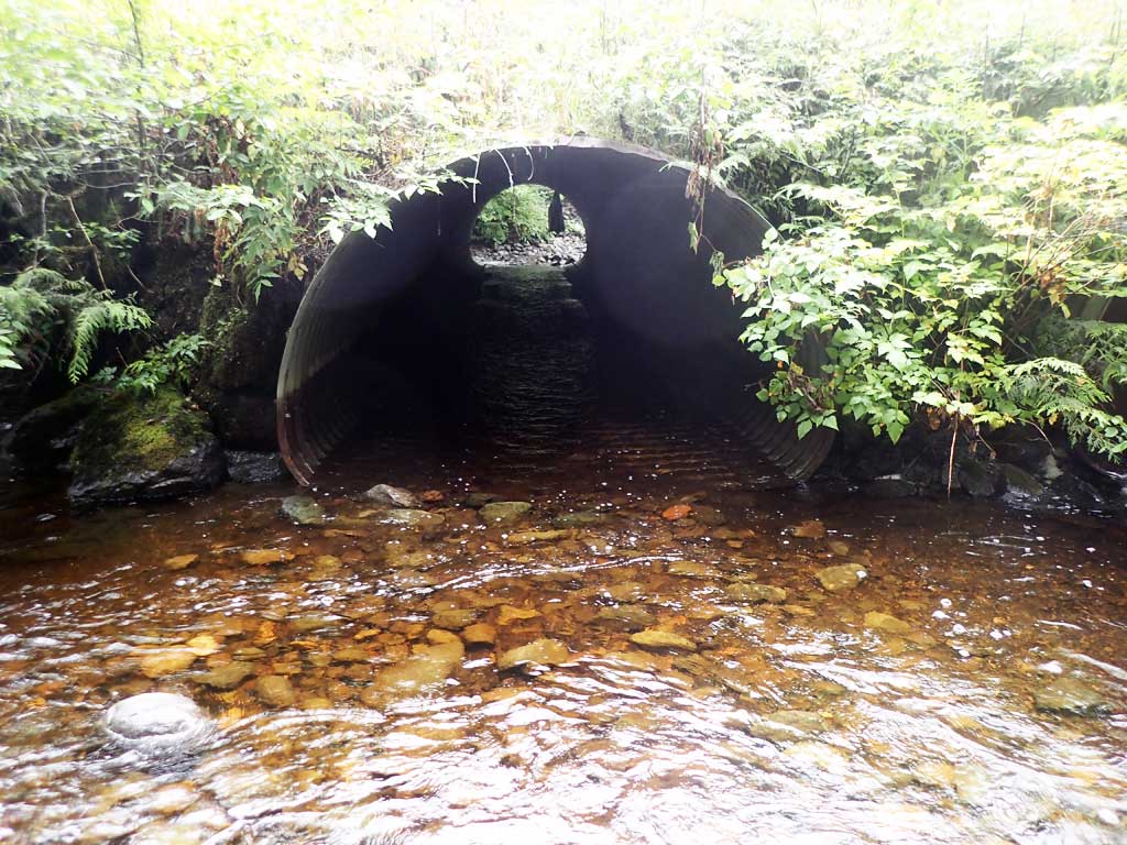
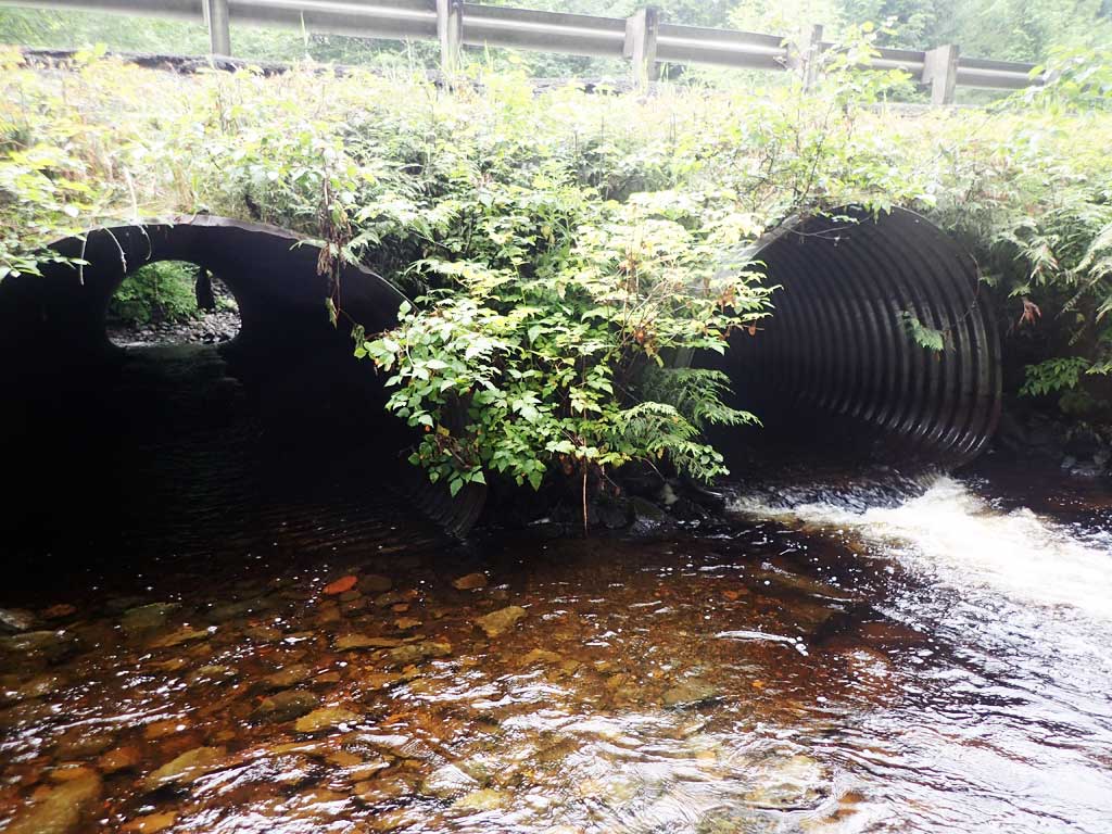
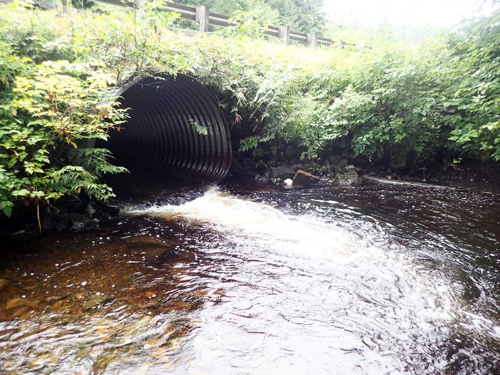
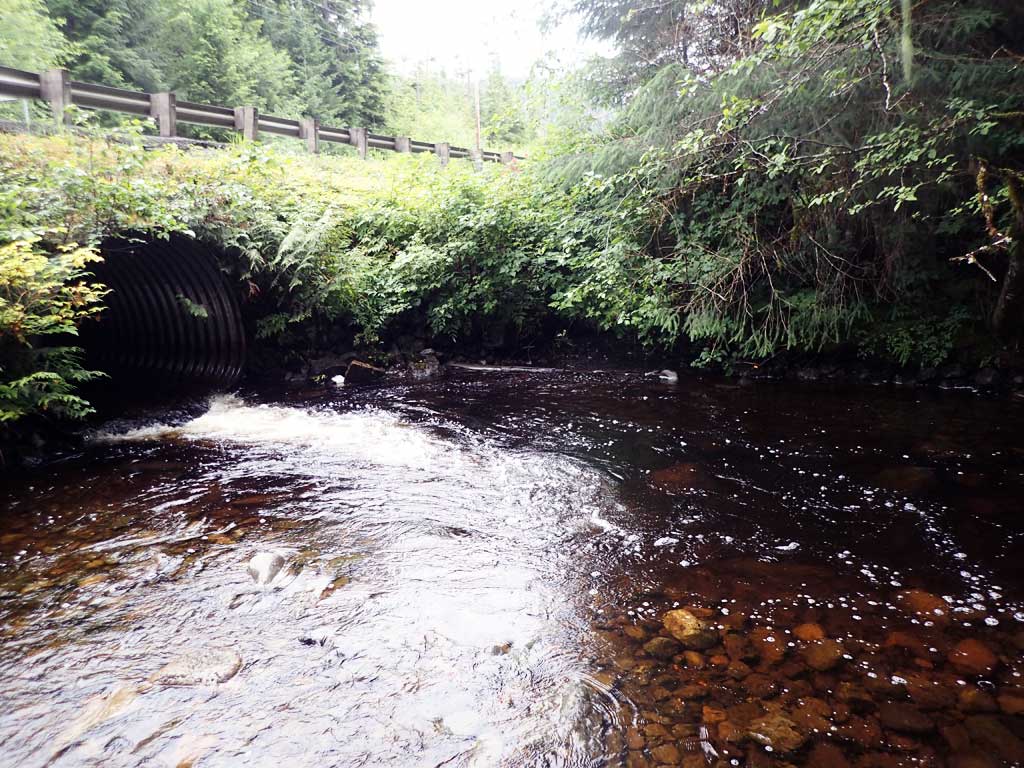
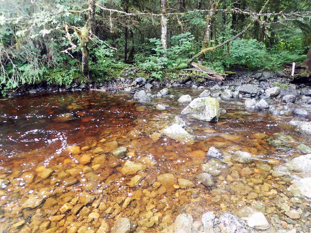
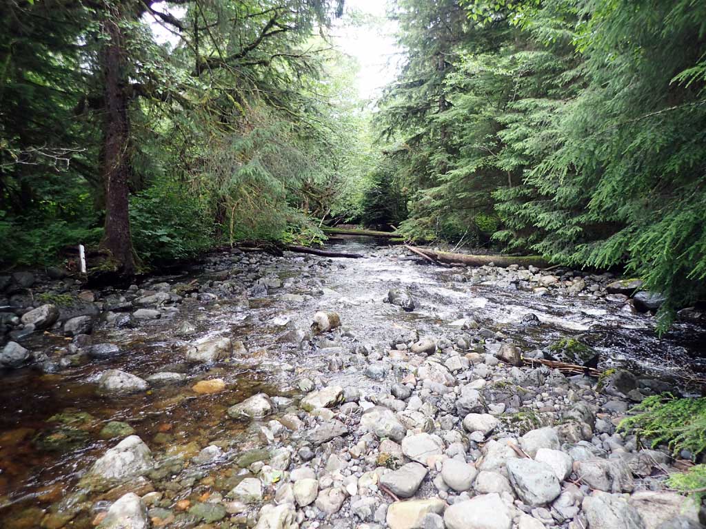
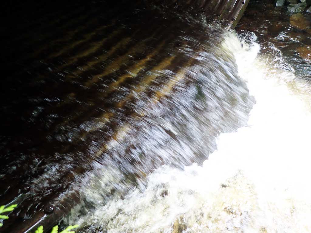
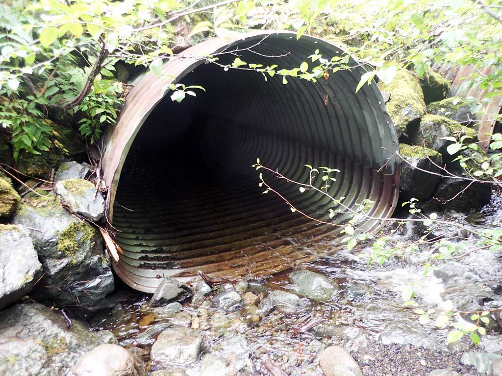
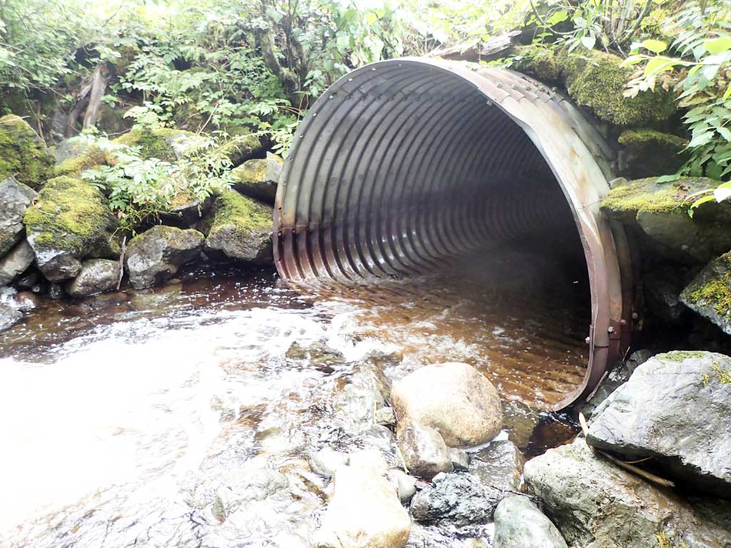
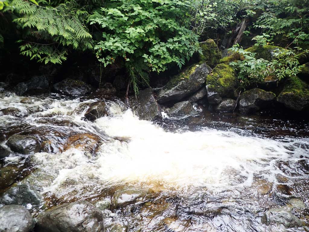
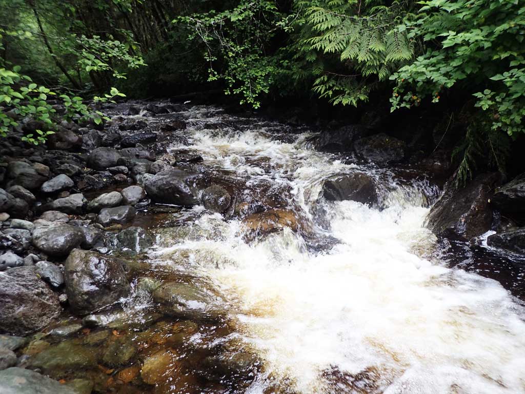
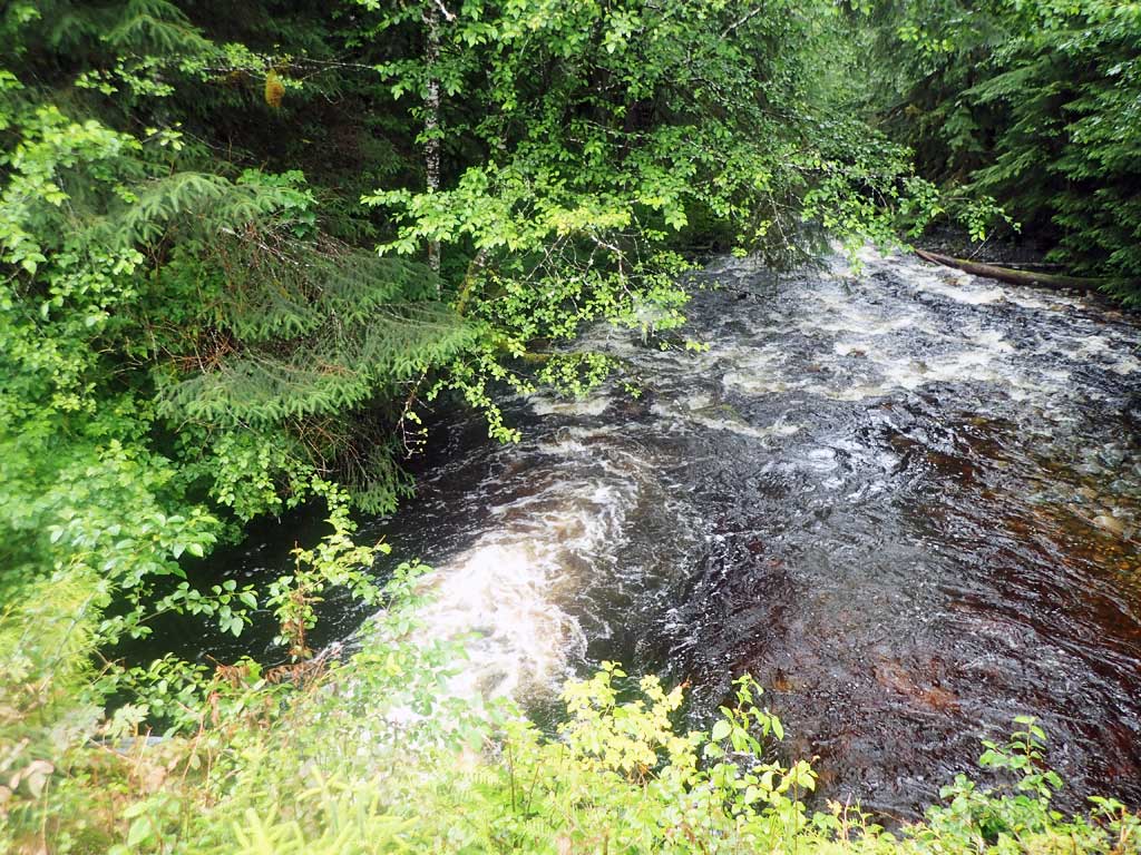
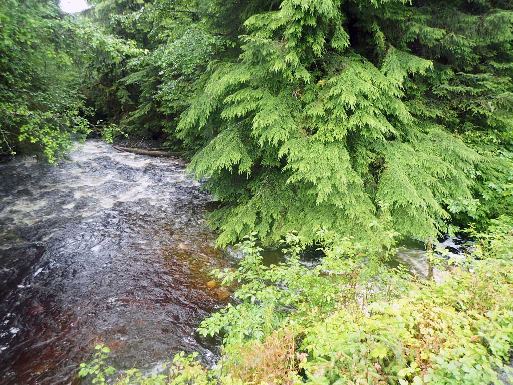
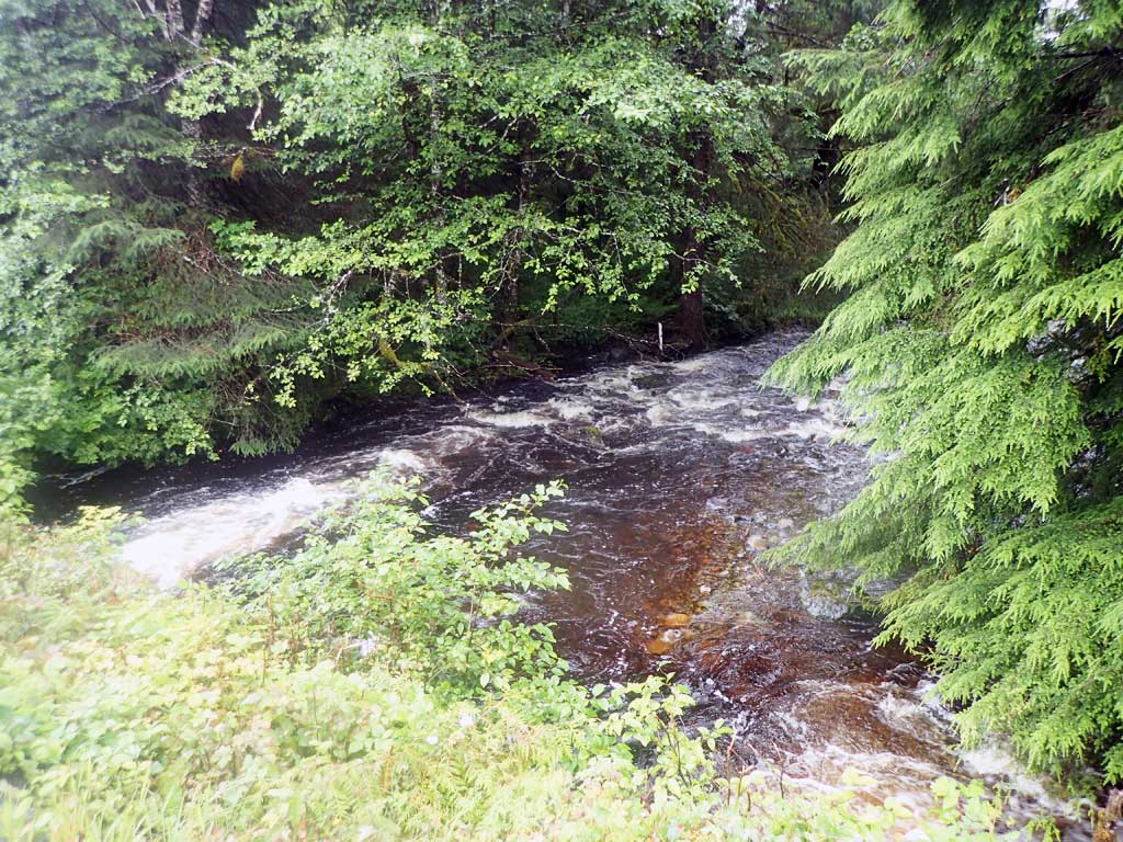
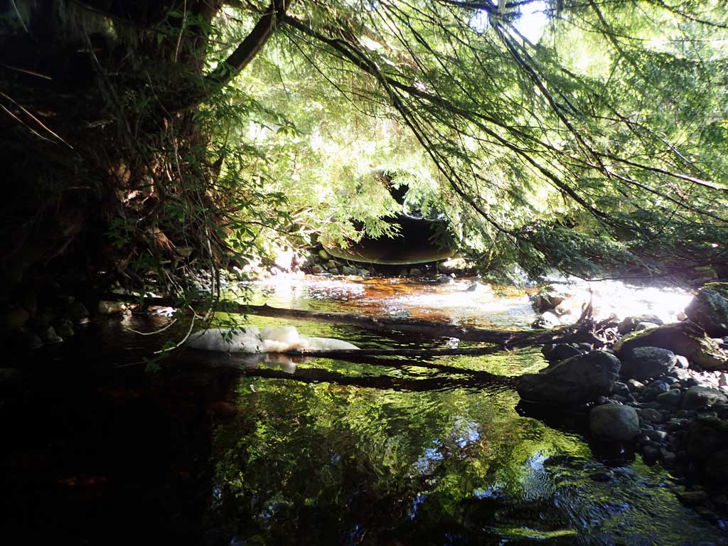
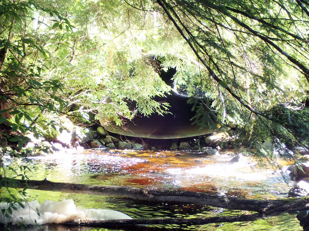
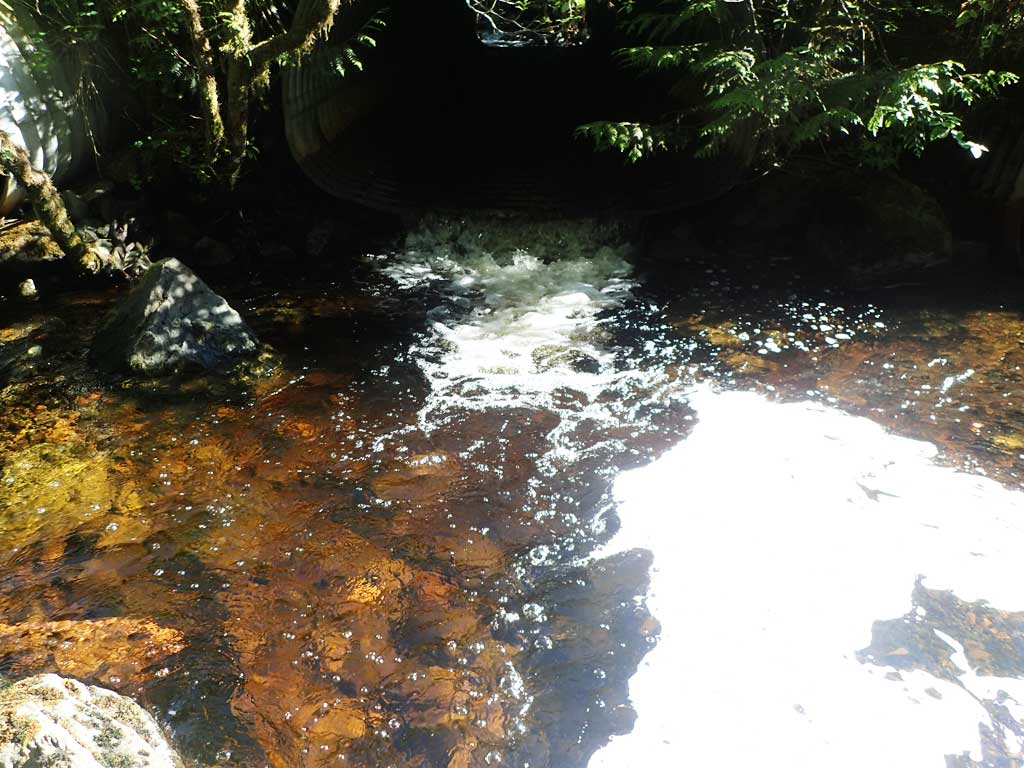
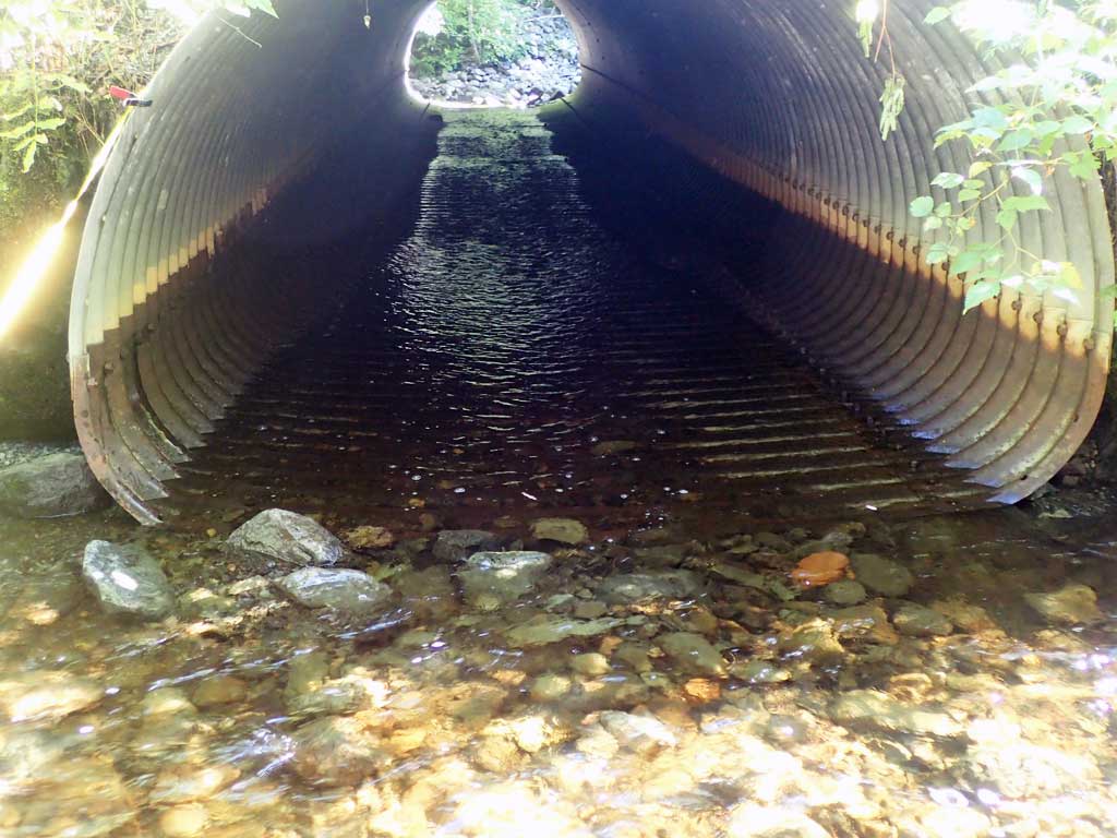
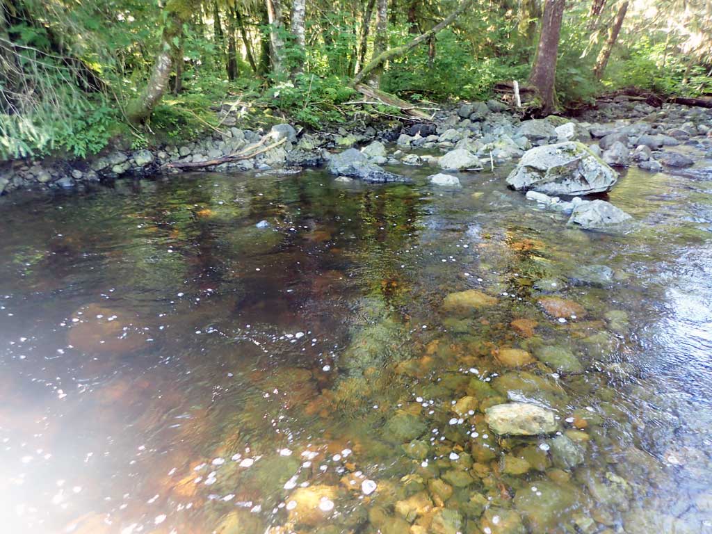
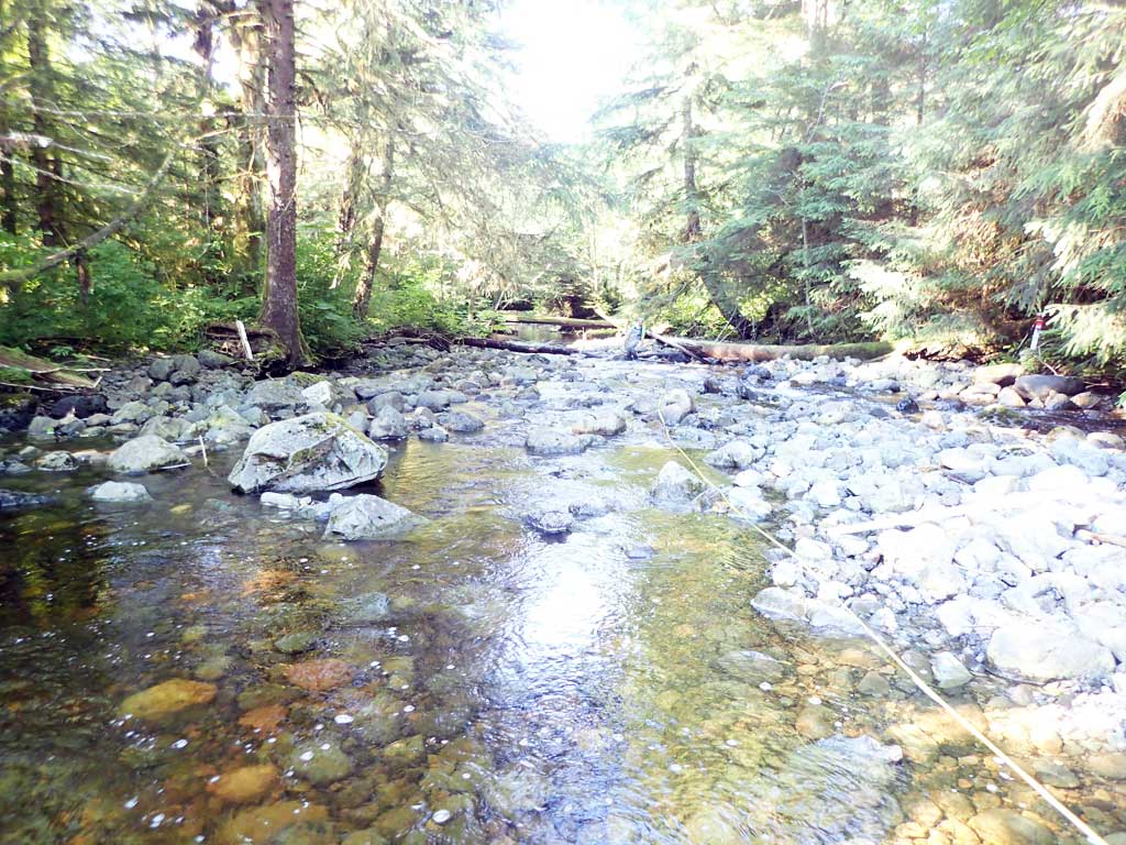
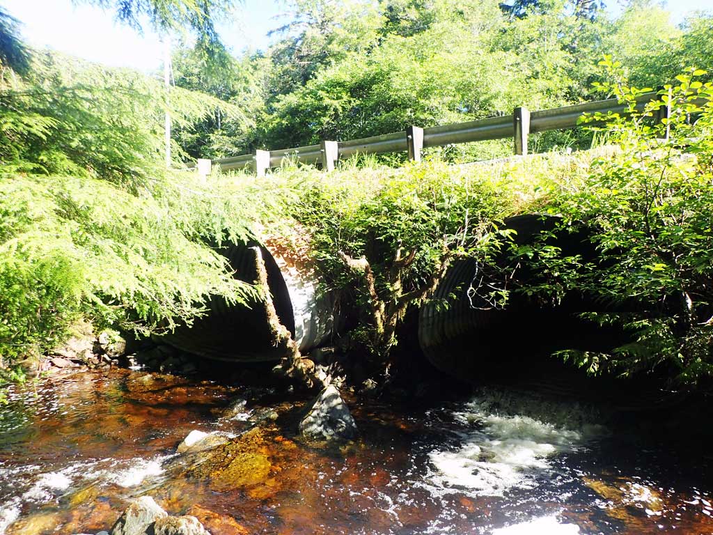
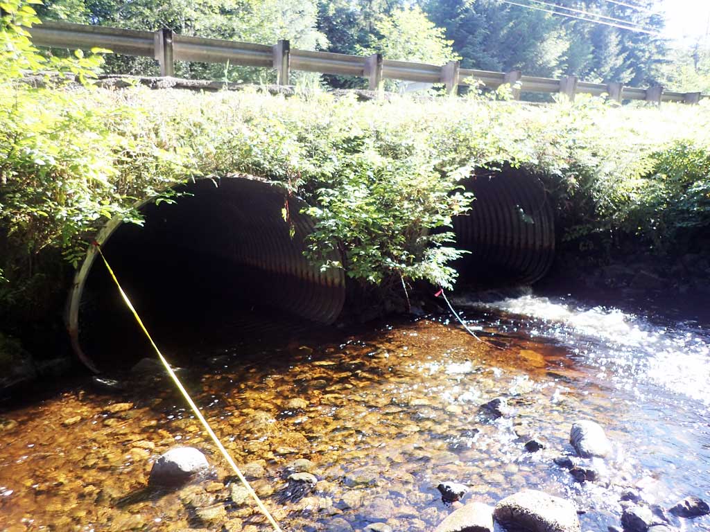
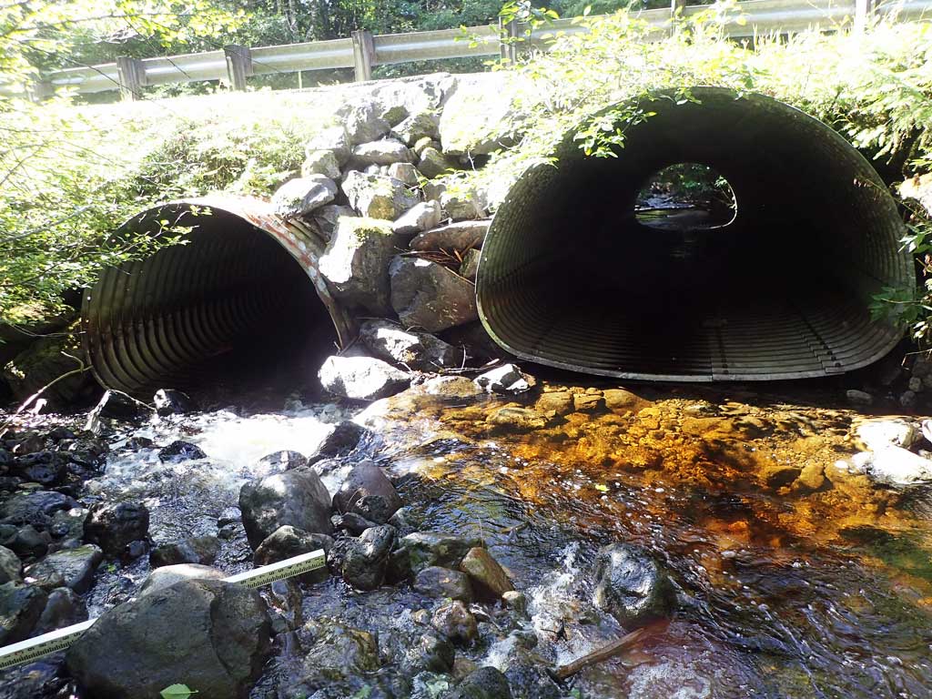
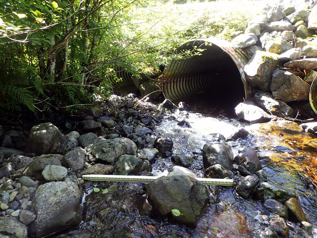
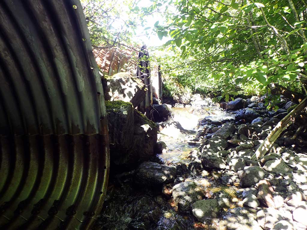
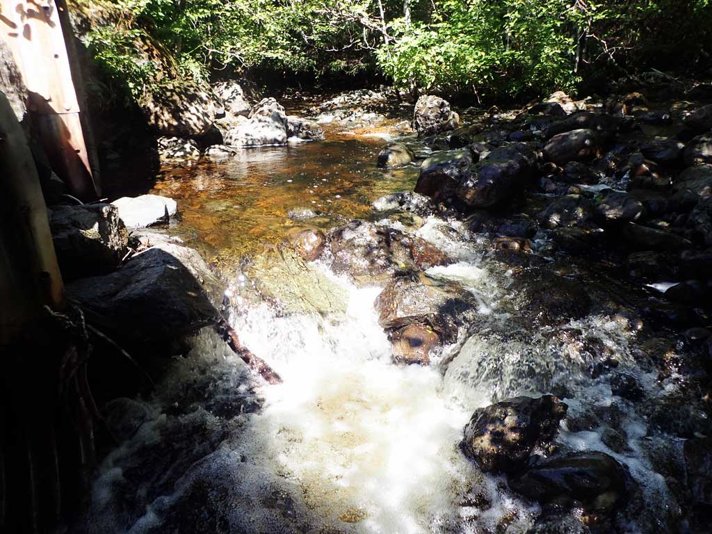
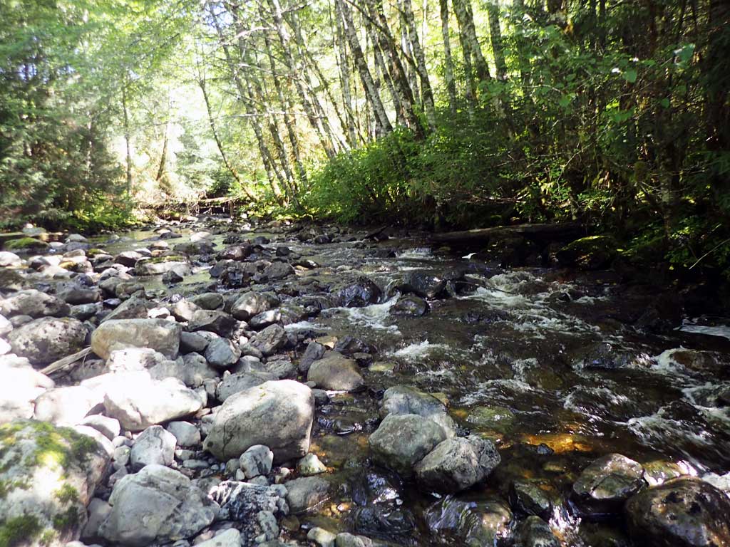
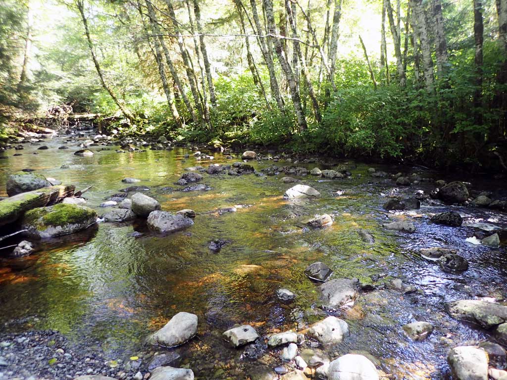
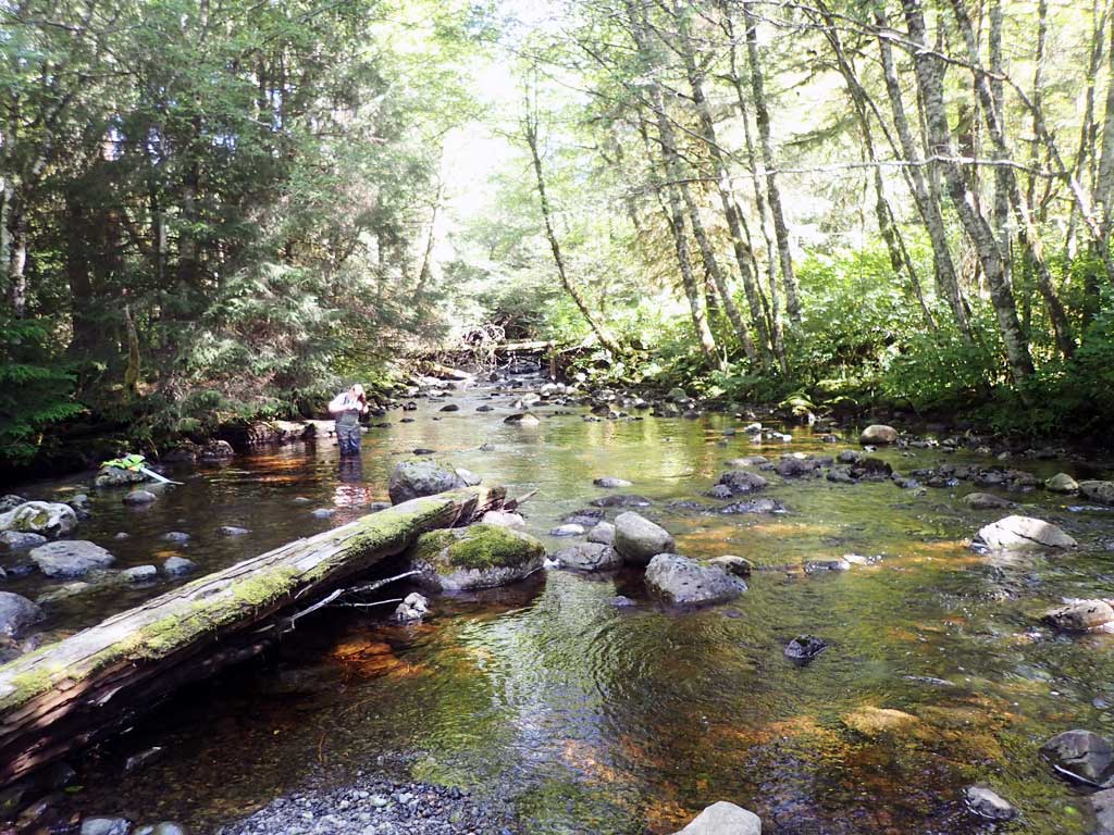
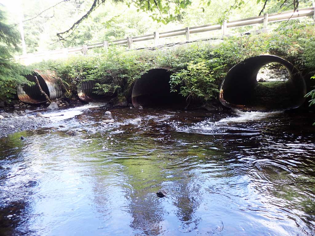
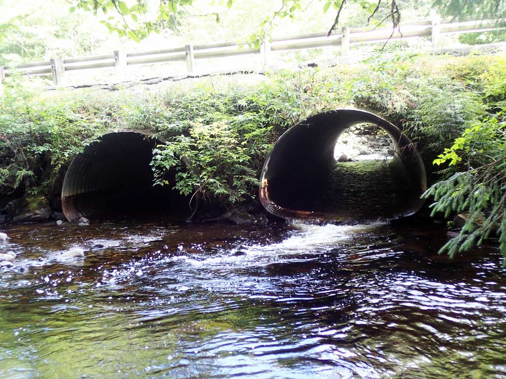
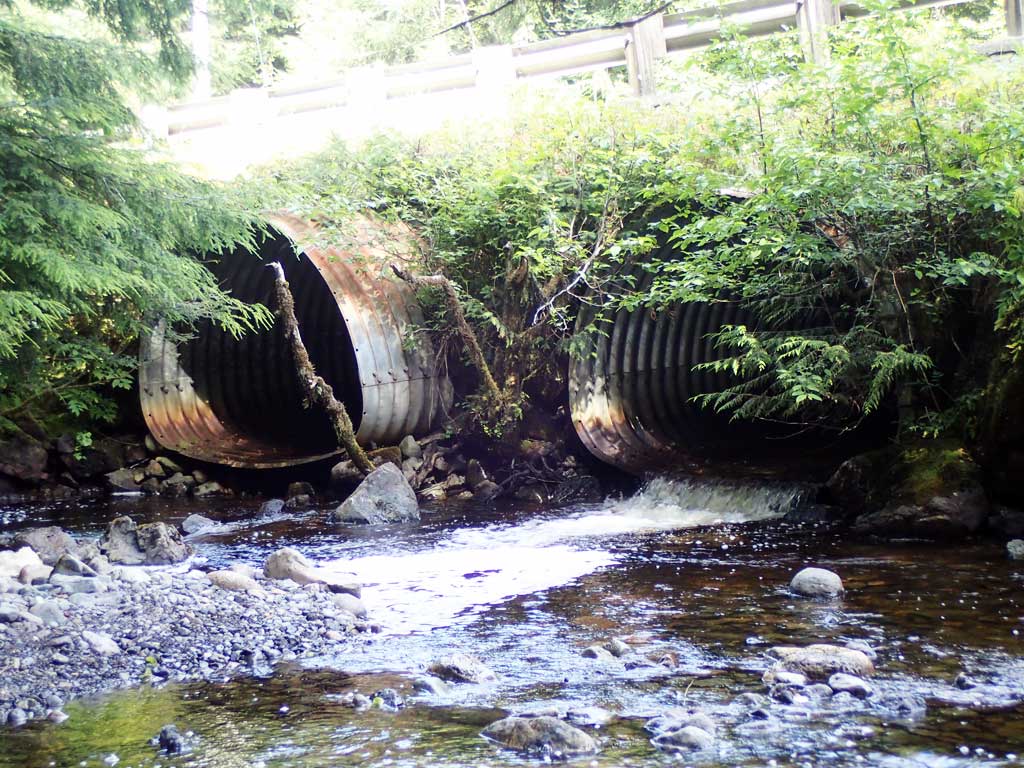
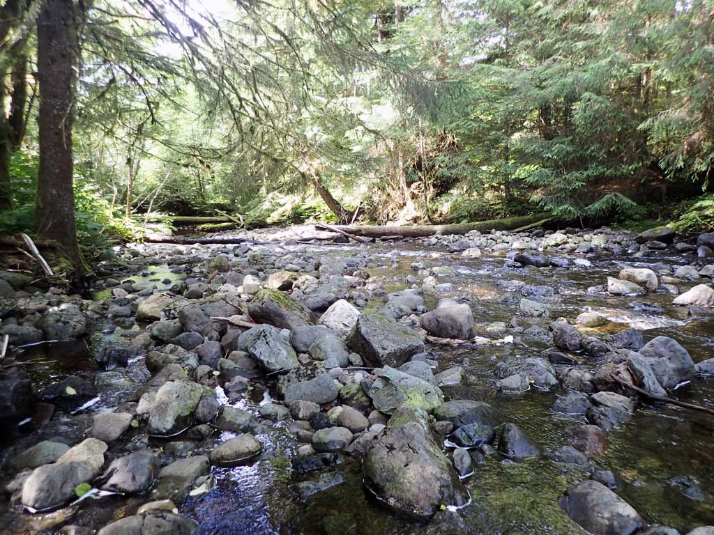
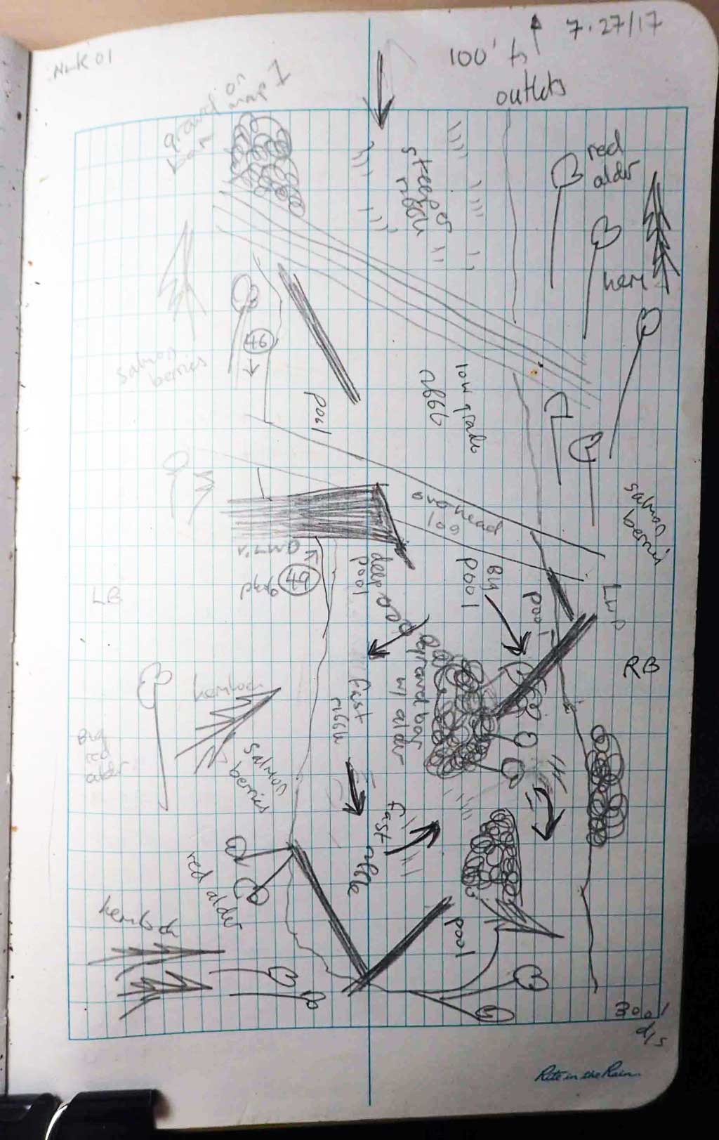
Comments: Big large woody debris downstream with big deep pools. Gravel bars upstream with some steep riffles. Big stream about 30 to 40 wide. Culvert 1 set high and has an inlet perch, Culvert 3 has a gravel bar infront of inlet.
Culvert Measurements
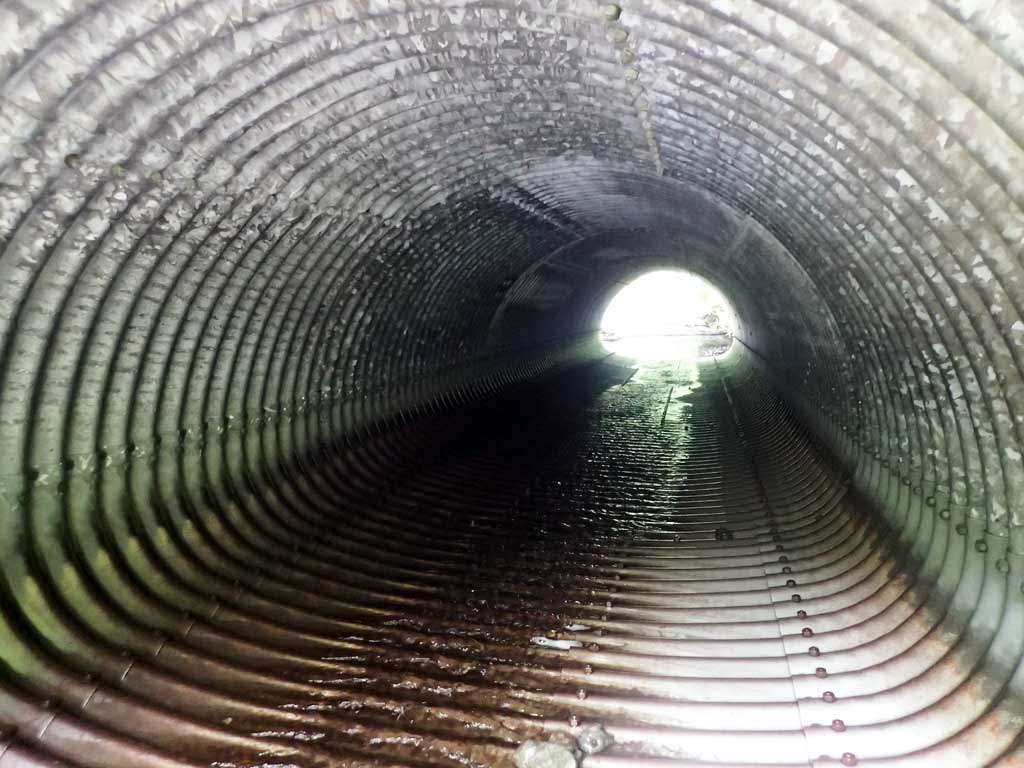
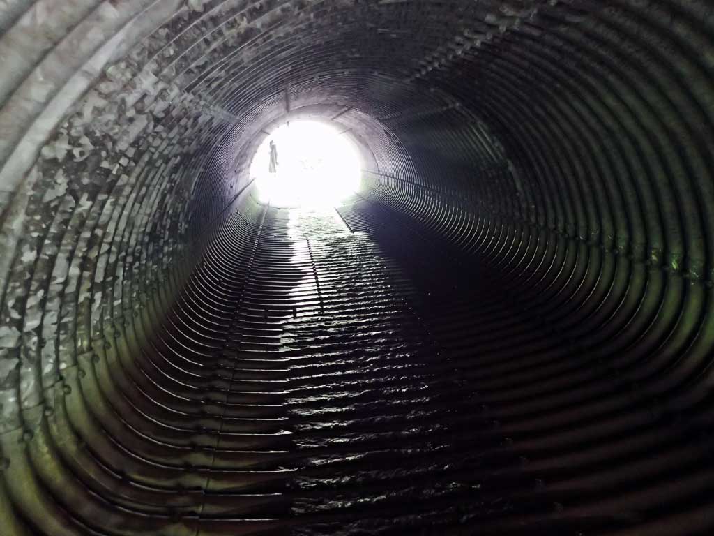
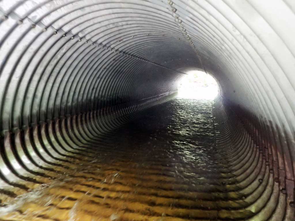
| ID: 1 | Structure Type: Pipe-arch (Structural steel plate) | Fish Passage Rating: | |||||||||||||||||||||||||||||||||||||||||
|
|
|
|||||||||||||||||||||||||||||||||||||||||
Culvert Observations:
|
|||||||||||||||||||||||||||||||||||||||||||
| ID: 2 | Structure Type: Pipe-arch (Structural steel plate) | Fish Passage Rating: | |||||||||||||||||||||||||||||||||||||||||
|
|
|
|||||||||||||||||||||||||||||||||||||||||
Comments: Gravel bar in front of culvert |
|||||||||||||||||||||||||||||||||||||||||||
Culvert Observations:
|
|||||||||||||||||||||||||||||||||||||||||||
| ID: 3 | Structure Type: Pipe-arch (Structural steel plate) | Fish Passage Rating: | |||||||||||||||||||||||||||||||||||||||||
|
|
|
|||||||||||||||||||||||||||||||||||||||||
Culvert Observations:
|
|||||||||||||||||||||||||||||||||||||||||||
| ID: 4 | Structure Type: Pipe-arch (Structural steel plate) | Fish Passage Rating: | |||||||||||||||||||||||||||||||||||||||||
|
|
|
|||||||||||||||||||||||||||||||||||||||||
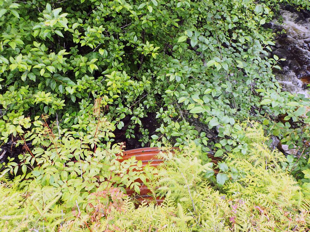
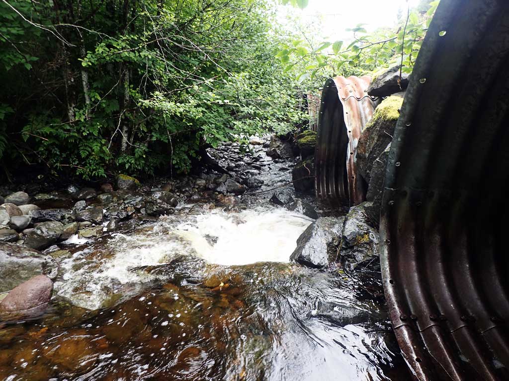
Comments: Culvert dry at time of survey and only has water at higher flows. |
|||||||||||||||||||||||||||||||||||||||||||
Culvert Observations:
|
|||||||||||||||||||||||||||||||||||||||||||
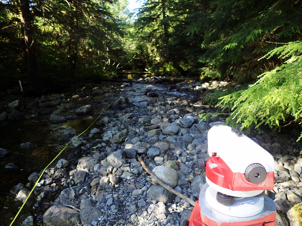
Stream Measurements
|
|
| Stream Width Type | Distance From Crossing (ft) |
Stream Width (ft) |
|---|---|---|
| Upstream ordinary high water | 100.0 | 39.00 |
| Upstream ordinary high water | 150.0 | 32.00 |
| Upstream ordinary high water | 300.0 | 42.00 |
Elevations
| Locator ID | Culvert Number |
River Distance (ft)1 |
Distance From Crossing (ft)2 |
Relative Elevation (ft) |
|---|---|---|---|---|
| Road Elev | 110.16 | |||
| D/S Grade Ctrl (Thalweg) | 0.00 | 92.01 | ||
| D/S Water Surface Elev | 0.00 | 93.18 | ||
| D/S Water Surface Elev | 5.00 | 93.14 | ||
| D/S Grade Ctrl (Thalweg) (End of riffle) | 5.00 | 91.97 | ||
| D/S Tailcrest or 1st Thalweg | 144.00 | 97.68 | ||
| D/S Water Surface Elev | 144.00 | 98.26 | ||
| Max Pool Depth | 4 | 163.00 | 95.48 | |
| Outlet Pool Water Elev | 4 | 163.00 | 97.01 | |
| Outlet Pool Water Elev | 2 | 175.00 | 98.30 | |
| Max Pool Depth | 2 | 175.00 | 97.73 | |
| D/S Water Surface Elev | 3 | 176.00 | 98.21 | |
| Outlet Pool Water Elev | 1 | 176.00 | 98.32 | |
| Max Pool Depth | 1 | 176.00 | 95.98 | |
| Max Pool Depth | 3 | 176.00 | 96.61 | |
| D/S Water Surface Elev | 4 | 181.00 | 97.65 | |
| D/S Thalweg (Just off of pipe) | 4 | 181.00 | 95.00 | |
| Outlet Invert (on pipe) | 2 | 182.00 | 97.67 | |
| D/S Water Surface Elev | 2 | 182.00 | 98.34 | |
| Outlet Invert (on pipe) | 1 | 182.00 | 98.37 | |
| Outlet Invert (on pipe) | 3 | 182.00 | 98.49 | |
| D/S Water Surface Elev | 1 | 182.00 | 98.62 | |
| D/S Water Surface Elev | 3 | 182.00 | 98.88 | |
| Outlet Invert (No water at outlet) | 4 | 182.00 | 98.98 | |
| Outlet Culvert Top | 1 | 182.00 | 105.05 | |
| Outlet Culvert Top | 2 | 182.00 | 105.06 | |
| Outlet Culvert Top | 3 | 182.00 | 105.21 | |
| Outlet Culvert Top | 4 | 182.00 | 105.52 | |
| Inlet Culvert Top | 1 | 236.00 | 106.58 | |
| Inlet Culvert Top | 3 | 236.00 | 106.63 | |
| U/S Water Surface Elev | 3 | 236.00 | 100.54 | |
| Inlet Culvert Invert (on pipe) | 3 | 236.00 | 99.86 | |
| Inlet Culvert Invert | 1 | 236.00 | 99.89 | |
| U/S Water Surface Elev | 1 | 236.00 | 100.43 | |
| U/S Water Surface Elev | 2 | 236.20 | 99.45 | |
| Inlet Culvert Invert | 2 | 236.20 | 99.10 | |
| Inlet Culvert Top | 2 | 236.20 | 105.98 | |
| Inlet Culvert Top | 4 | 237.60 | 108.73 | |
| Inlet Culvert Invert (No water in culvert) | 4 | 237.60 | 102.17 | |
| U/S Grade Ctrl (Thalweg) | 3 | 239.00 | 99.32 | |
| U/S Water Surface Elev | 2 | 240.20 | 99.45 | |
| U/S Grade Ctrl (Thalweg) | 2 | 240.20 | 99.10 | |
| U/S Grade Ctrl (Thalweg) | 4 | 241.60 | 100.82 | |
| U/S Water Surface Elev | 4 | 241.60 | 101.93 | |
| U/S Water Surface Elev | 1 | 244.00 | 100.43 | |
| U/S Grade Ctrl (Thalweg) (Pool upstream of culvert) | 1 | 244.00 | 99.13 | |
| U/S Grade Ctrl (Thalweg) | 310.00 | 105.25 | ||
| U/S Grade Ctrl (Thalweg) | 337.00 | 104.55 | ||
| U/S Water Surface Elev | 337.00 | 105.83 |
Notes:
- River distance is measured continuously throughout the survey reach along the thalweg of the stream.
- Measured from each end of the crossing along the thalweg of the stream.
Fish Sampling Efforts
| Gear Type: Minnow Trap (A) | Trap Duration(h): 1.0 | |
| Comments: Trap set about 50 feet upstream | ||
| Gear Type: Minnow Trap (B) | Trap Duration(h): 1.0 | |
| Comments: Trap set about 80 feet upstream. | ||
Fish Observations
No fish observations occurred during this survey.
Photos
Questions or comments about this report can be directed to dfg.dsf.webmaster@alaska.gov