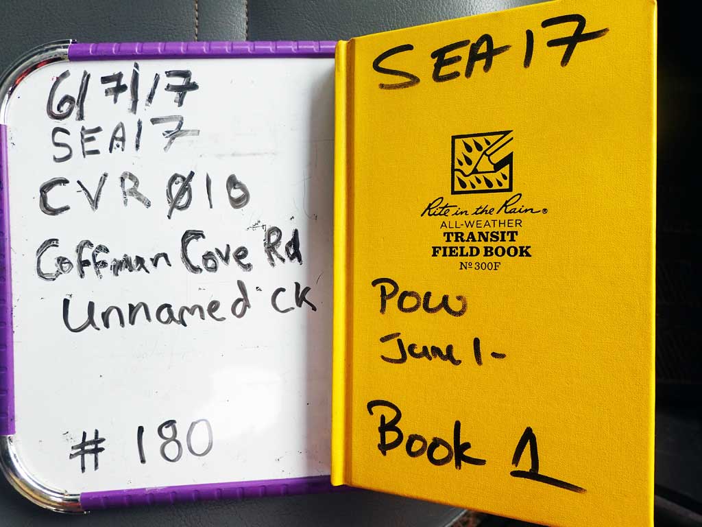
Fish Passage Site 10103559
Coordinates (dec. deg.): 55.87445°, -133.04639°
Legal Description: C069S081E19
Region: Southeast
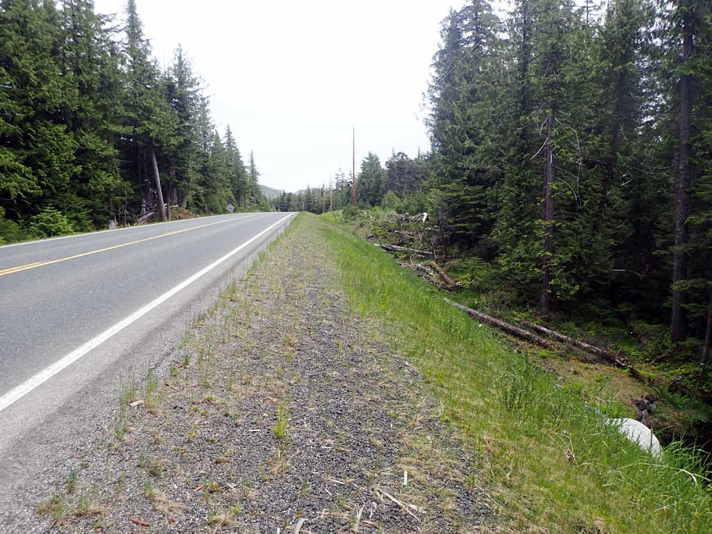
Road Name: Coffman Cove Road
Datum: NAD83
Quad Name / ITM: Craig D-4
AWC Stream #: 106-30-10670-2004-3030-4060-5016
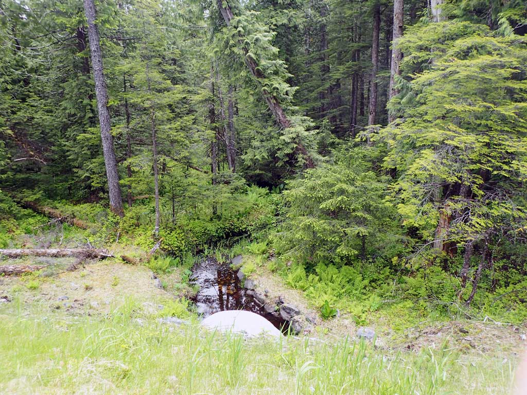
Stream Name: Unnamed
Elevation:
Site Comments: None
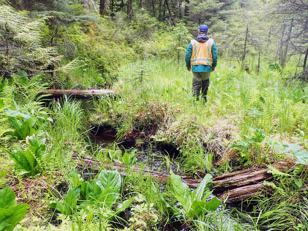
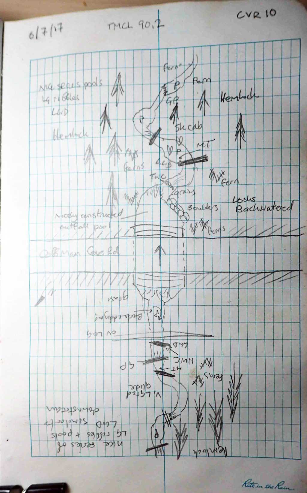
Survey SEA17-CVR10
Observers: Mark Eisenman, Elizabeth Flory, Kelly Petty
Overall Fish Passage Rating:
Tidal: No
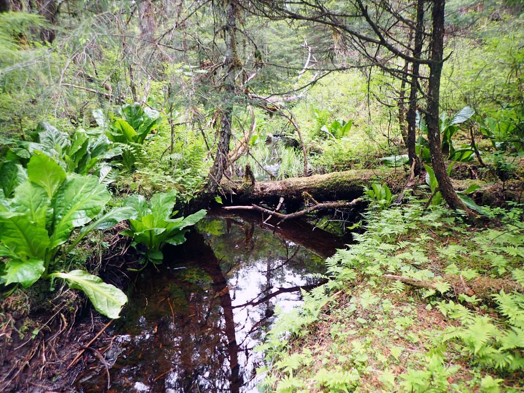
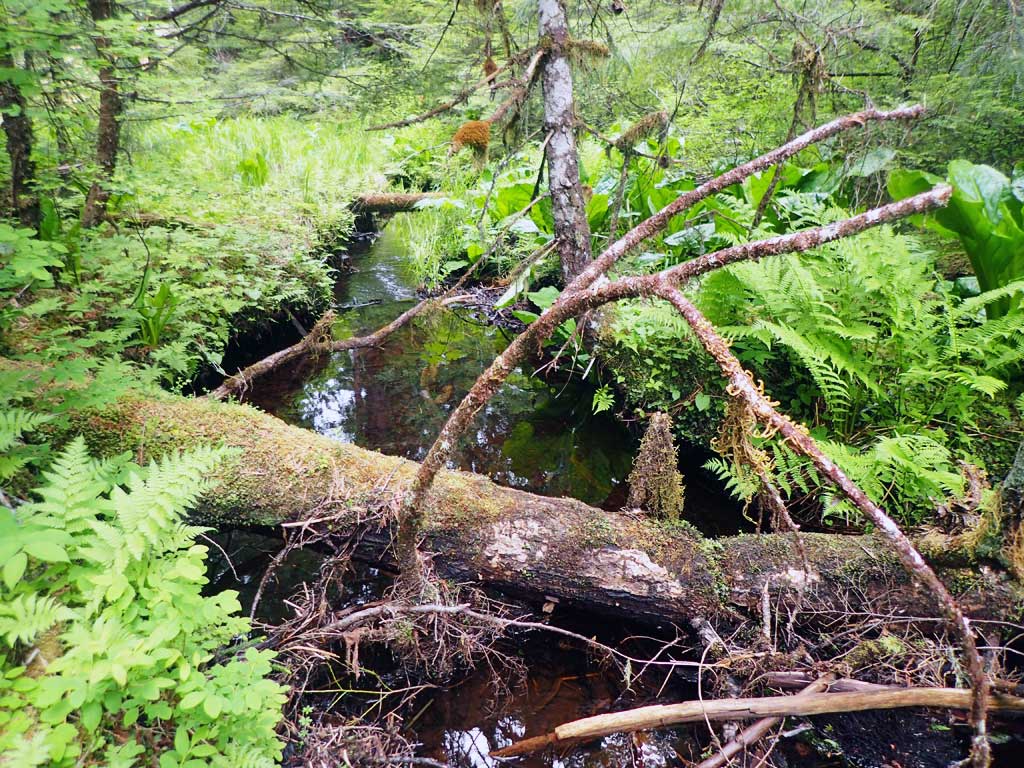
Backwatered: Yes
Step Pools: No
Construction Year:
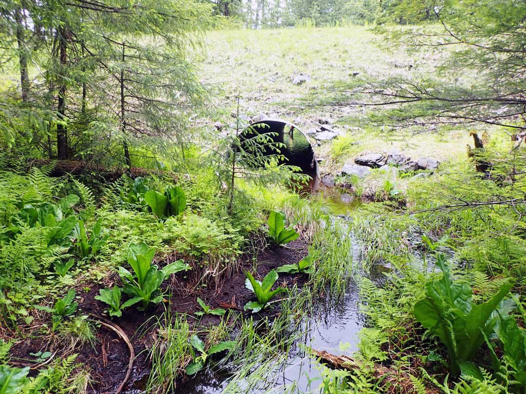
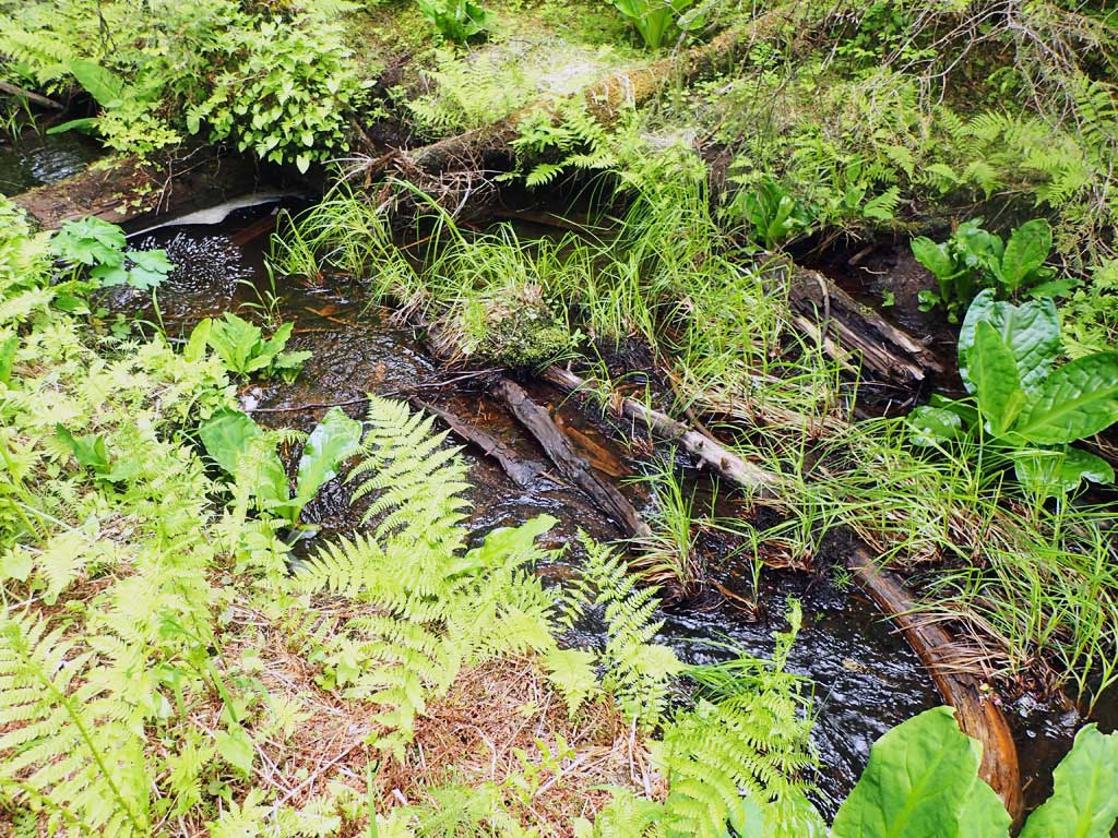
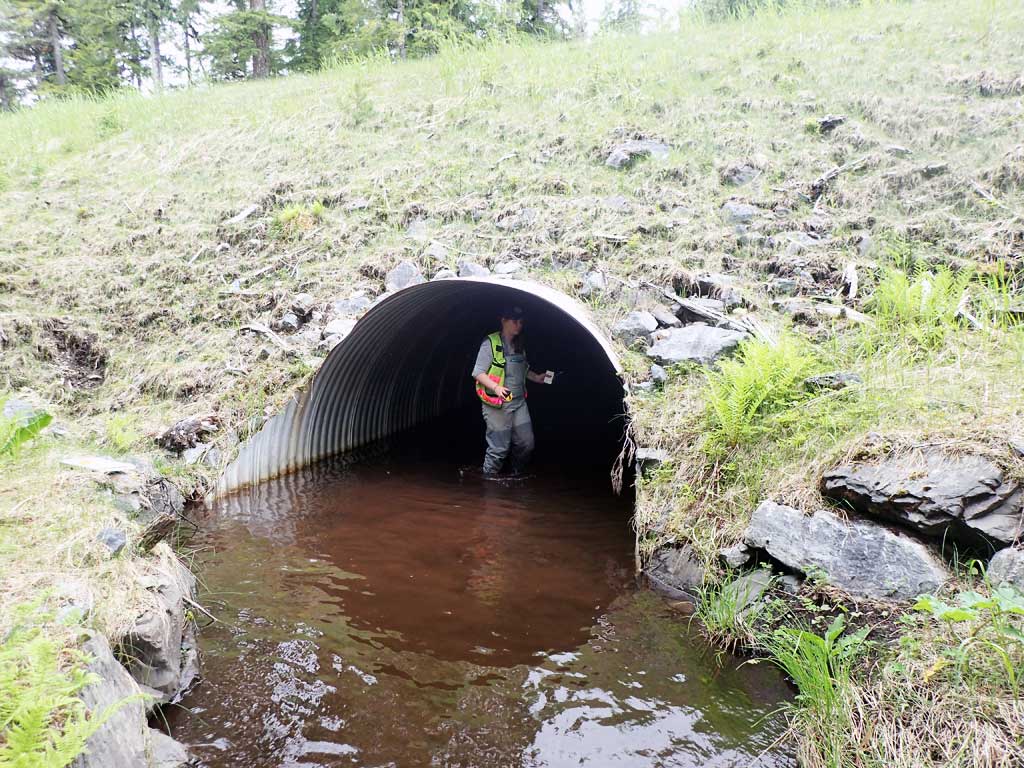
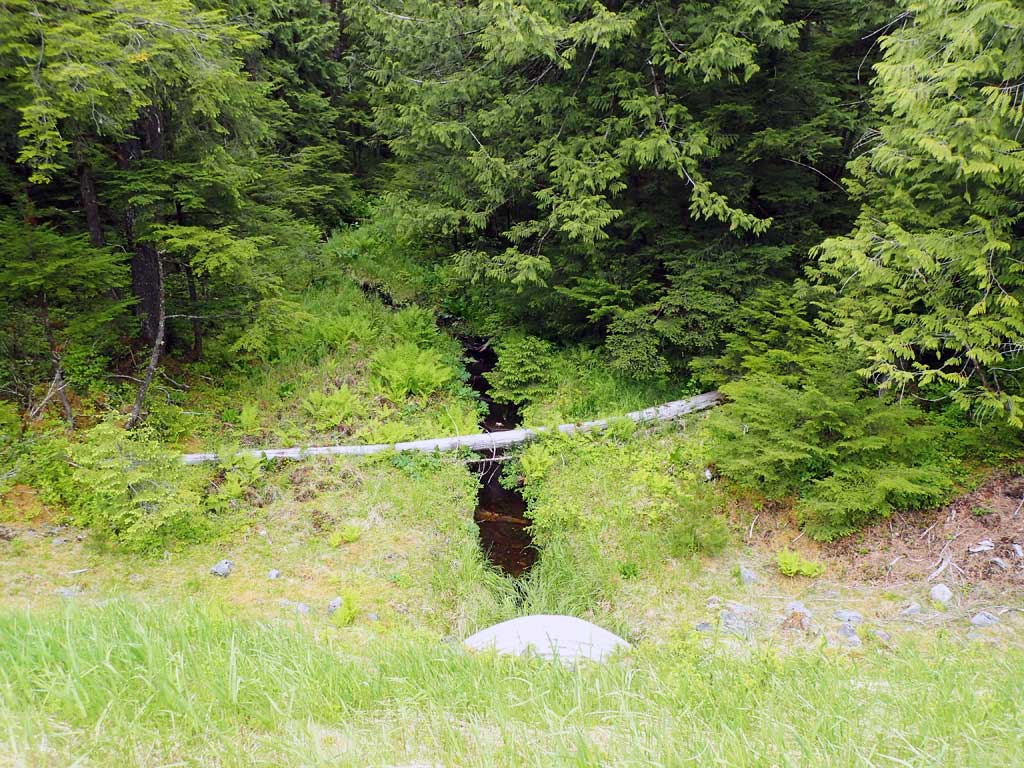
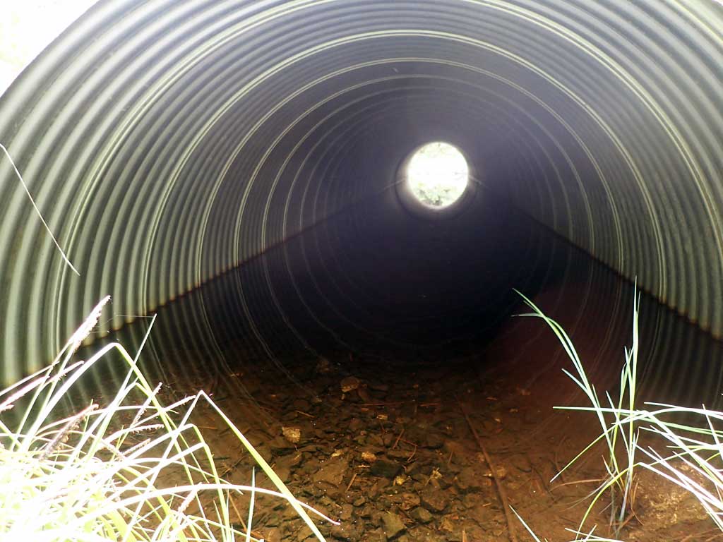
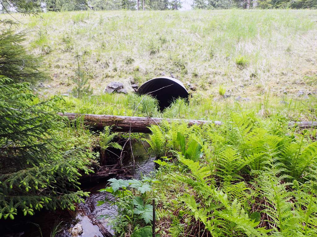
Comments: TWC higher than inlet invert water surface, gradient equal. Backwatered. Fish observed upstream and downstream but none captured.
Culvert Measurements
| ID: 1 | Structure Type: Circular pipe (Corrugated steel) | Fish Passage Rating: | ||||||||||||||||||||||||||||||||||||||||||
|
|
|
||||||||||||||||||||||||||||||||||||||||||
Comments: Backwatered. Top of culvert length 90.2. |
||||||||||||||||||||||||||||||||||||||||||||
Stream Measurements
|
|
| Stream Width Type | Distance From Crossing (ft) |
Stream Width (ft) |
|---|---|---|
| Downstream ordinary high water | 100.0 | 3.00 |
| Downstream ordinary high water | 150.0 | 3.20 |
| Downstream ordinary high water | 200.0 | 3.00 |
Elevations
| Locator ID | Culvert Number |
River Distance (ft)1 |
Distance From Crossing (ft)2 |
Relative Elevation (ft) |
|---|---|---|---|---|
| Road Elev | 115.59 | |||
| D/S Water Surface Elev | 0.00 | 94.50 | ||
| D/S Grade Ctrl (Thalweg) | 0.00 | 94.35 | ||
| D/S Water Surface Elev | 23.00 | 94.60 | ||
| D/S Tailcrest or 1st Thalweg | 23.00 | 94.54 | ||
| D/S Water Surface Elev | 34.00 | 94.55 | ||
| Max Pool Depth | 34.00 | 93.65 | ||
| Outlet Invert (On substrate) | 37.00 | 94.05 | ||
| D/S Water Surface Elev | 37.00 | 94.40 | ||
| Outlet Culvert Top | 43.00 | 100.00 | ||
| Inlet Culvert Top | 133.20 | 99.46 | ||
| Inlet Culvert Invert (On substrate, 1st resting) | 139.20 | 93.55 | ||
| U/S Water Surface Elev | 139.20 | 94.05 | ||
| U/S Water Surface Elev | 168.20 | 94.75 | ||
| U/S Grade Ctrl (Thalweg) | 168.20 | 94.83 | ||
| U/S Water Surface Elev | 187.20 | 95.30 | ||
| U/S Grade Ctrl (Thalweg) (Large Woody debris) | 187.20 | 95.40 | ||
| U/S Grade Ctrl (Thalweg) | 261.20 | 97.10 | ||
| U/S Water Surface Elev | 261.20 | 97.35 |
Notes:
- River distance is measured continuously throughout the survey reach along the thalweg of the stream.
- Measured from each end of the crossing along the thalweg of the stream.
Fish Sampling Efforts
| Gear Type: Minnow Trap (A) | Trap Duration(h): 1.6 | |
| Comments: no fish caught though some observed | ||
| Gear Type: Minnow Trap (B) | Trap Duration(h): 1.6 | |
| Comments: no fish caught but observed some | ||
Fish Observations
No fish observations occurred during this survey.
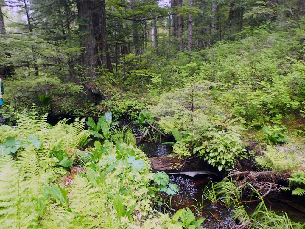
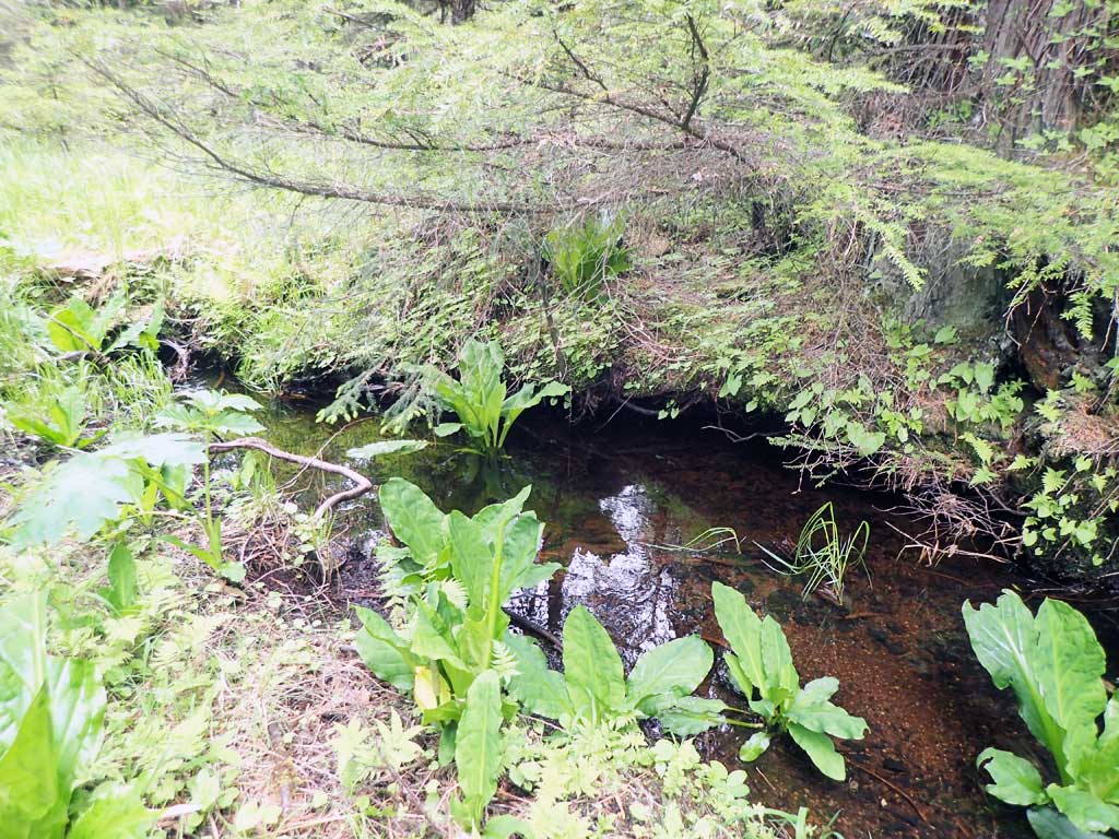
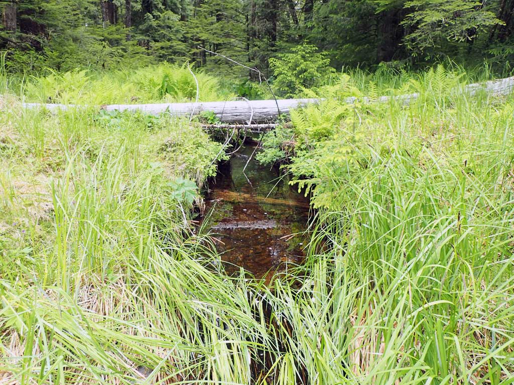
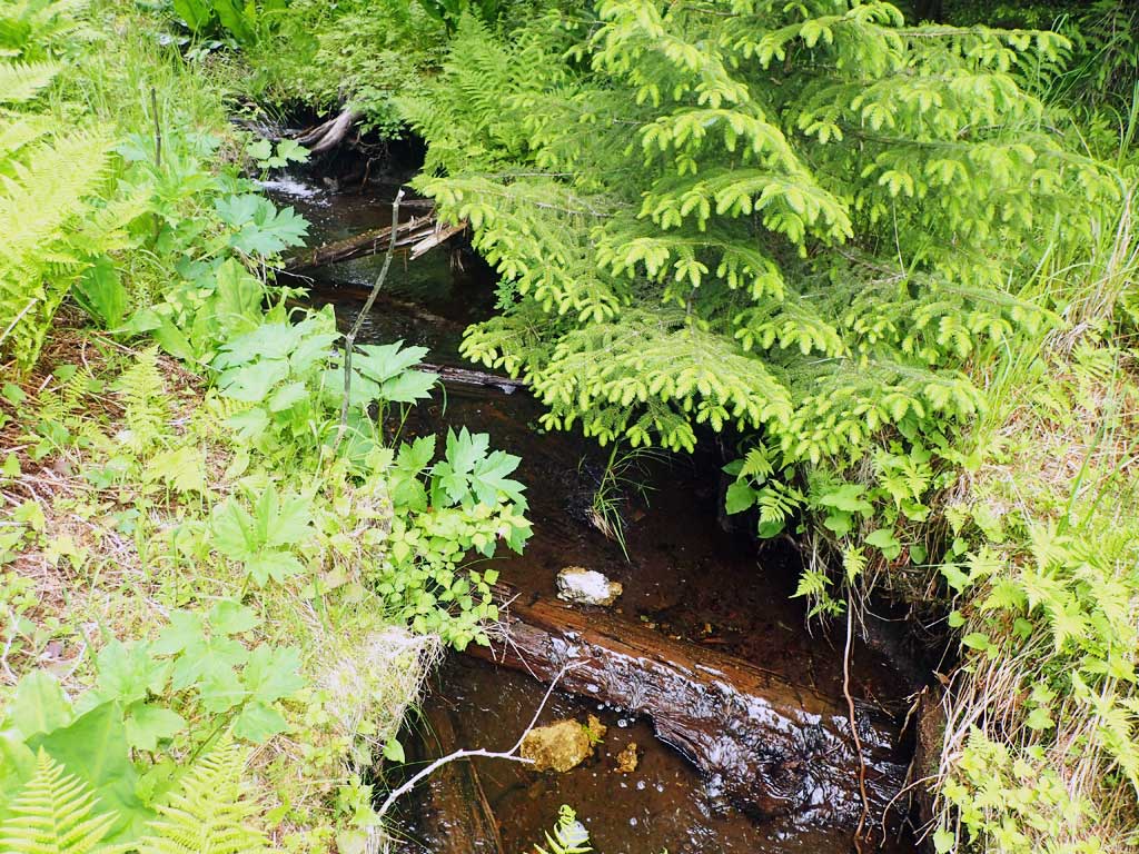
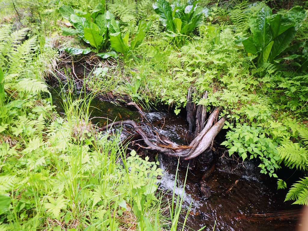
Photos


Questions or comments about this report can be directed to dfg.dsf.webmaster@alaska.gov