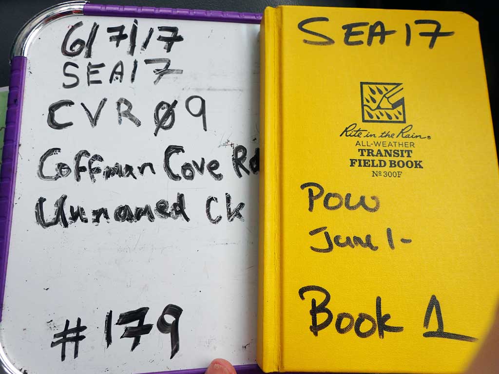
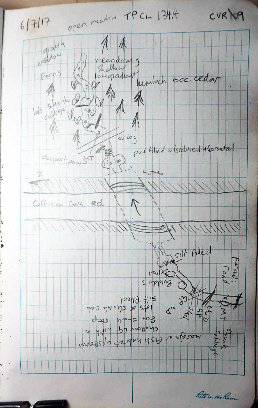
Fish Passage Site 10103558
Coordinates (dec. deg.): 55.87562°, -133.03793°
Legal Description: C069S081E20
Region: Southeast
Road Name: Coffman Cove Road
Datum: NAD83
Quad Name / ITM: Craig D-4
AWC Stream #:
Stream Name: Unnamed
Elevation:
Site Comments: None
Survey SEA17-CVR09
Observers: Mark Eisenman, Elizabeth Flory, Kelly Petty
Overall Fish Passage Rating:
Tidal: No
Backwatered: No
Step Pools: No
Construction Year:
Site Observations:
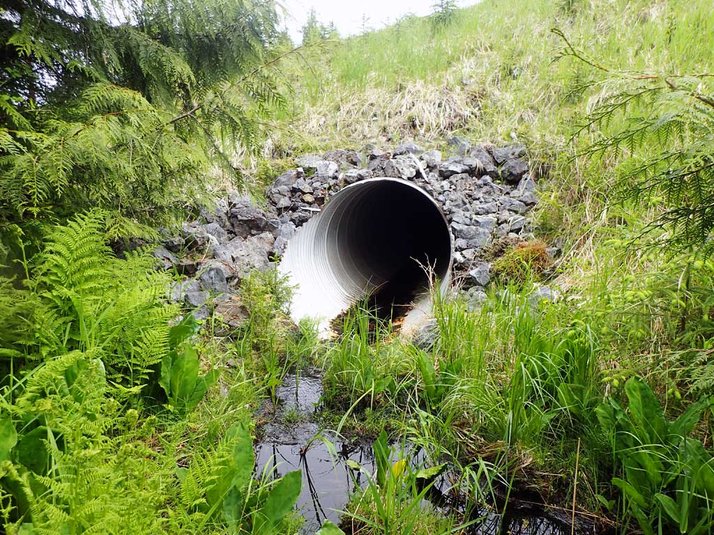
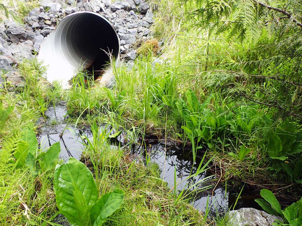
- Culvert gradient red
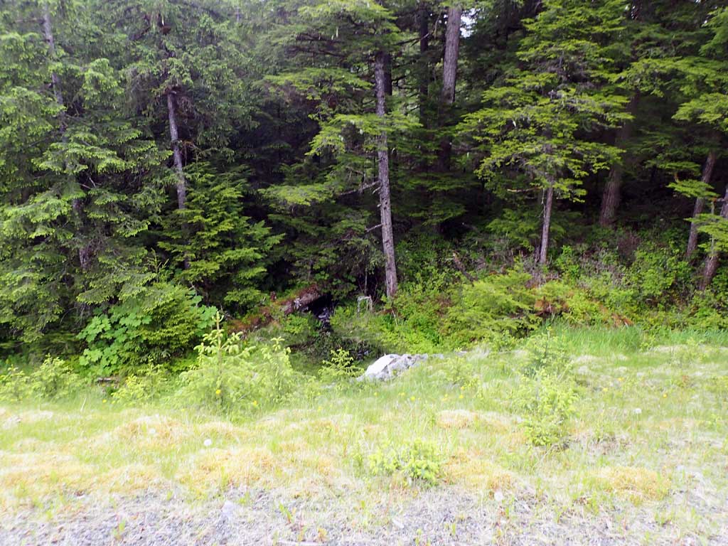
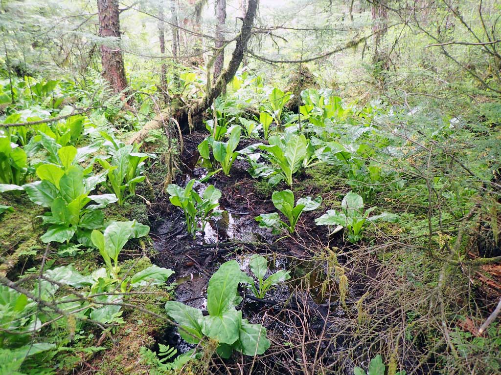
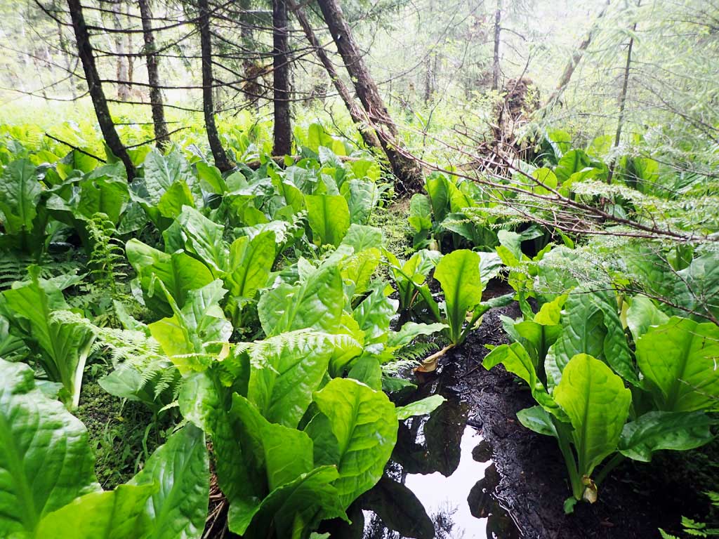
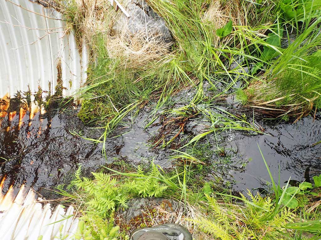
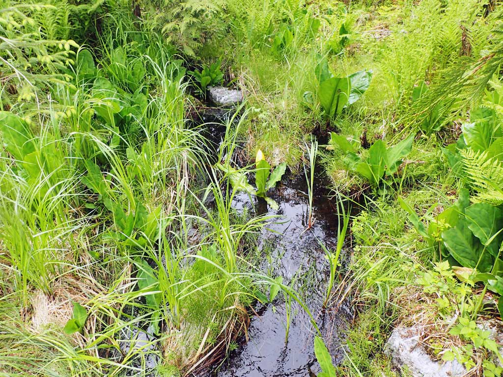
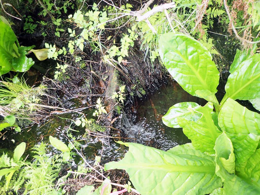
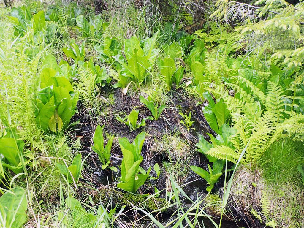
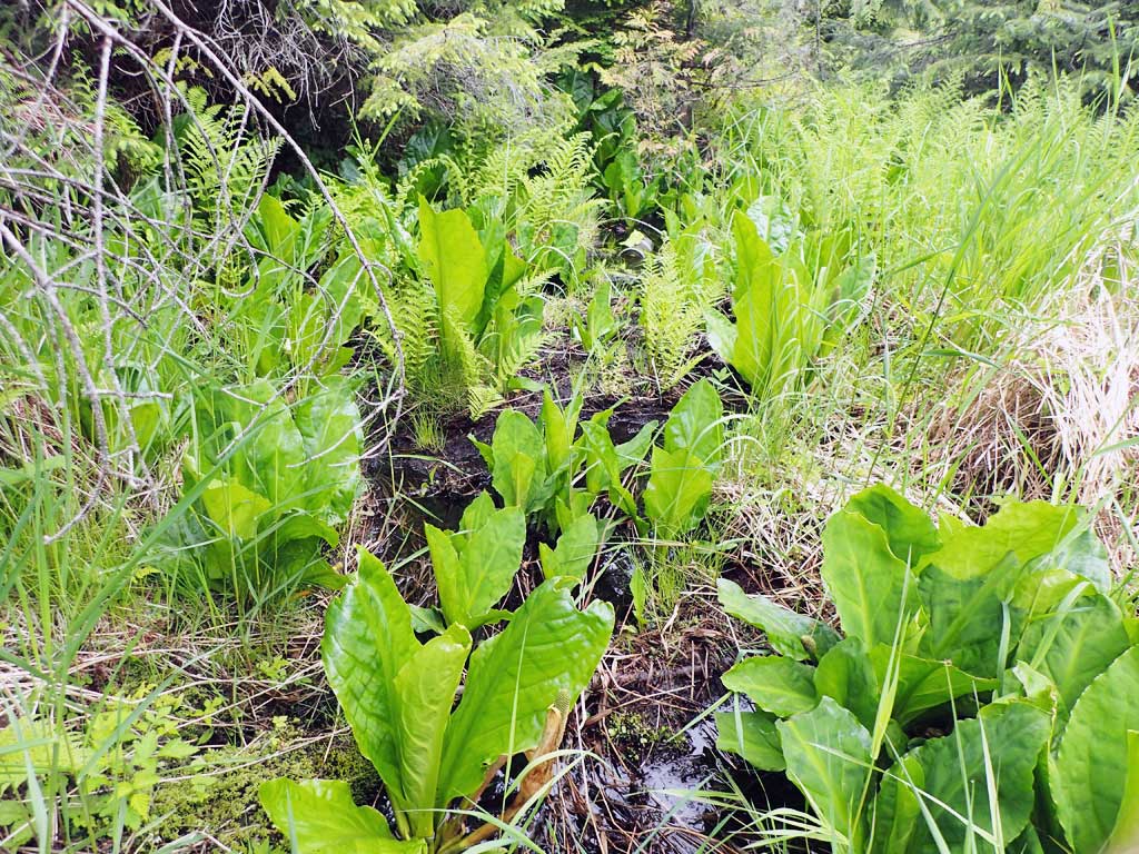
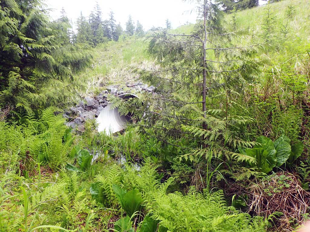
Comments: Marginal habitat upstream, nice stream structure downstream.
Culvert Measurements
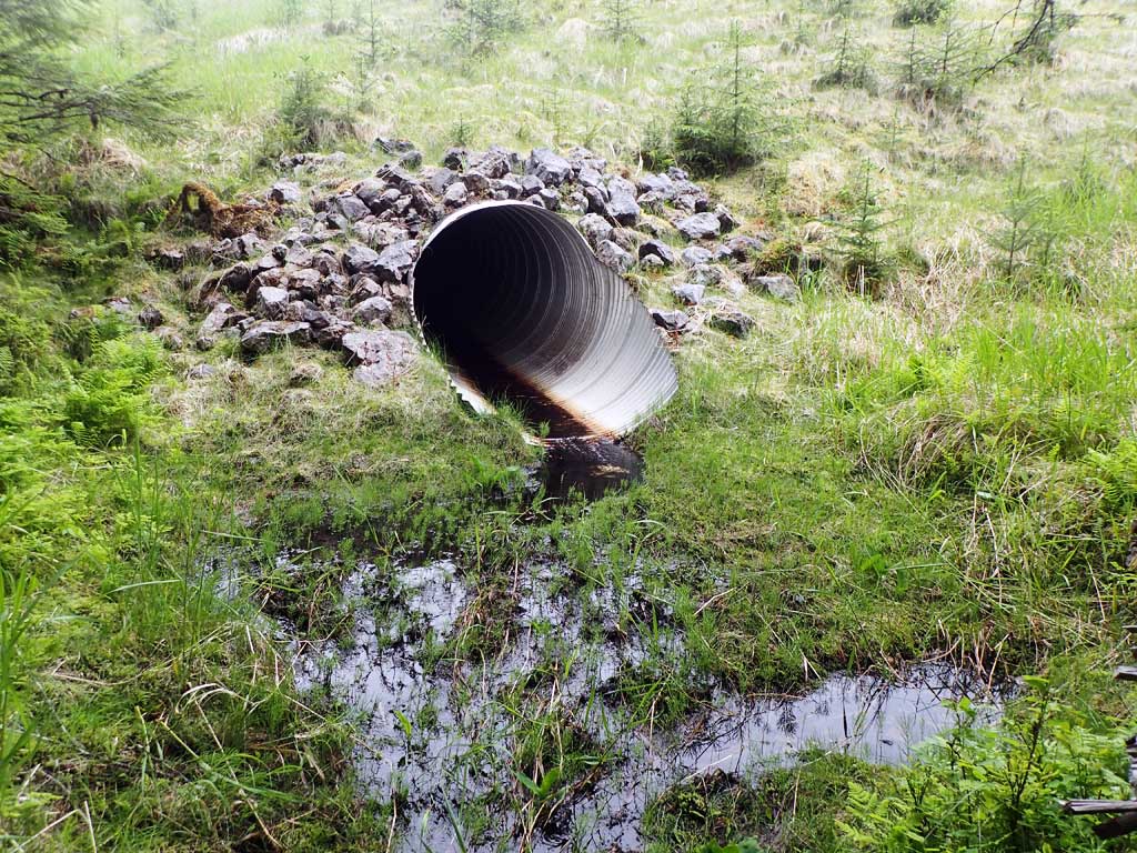
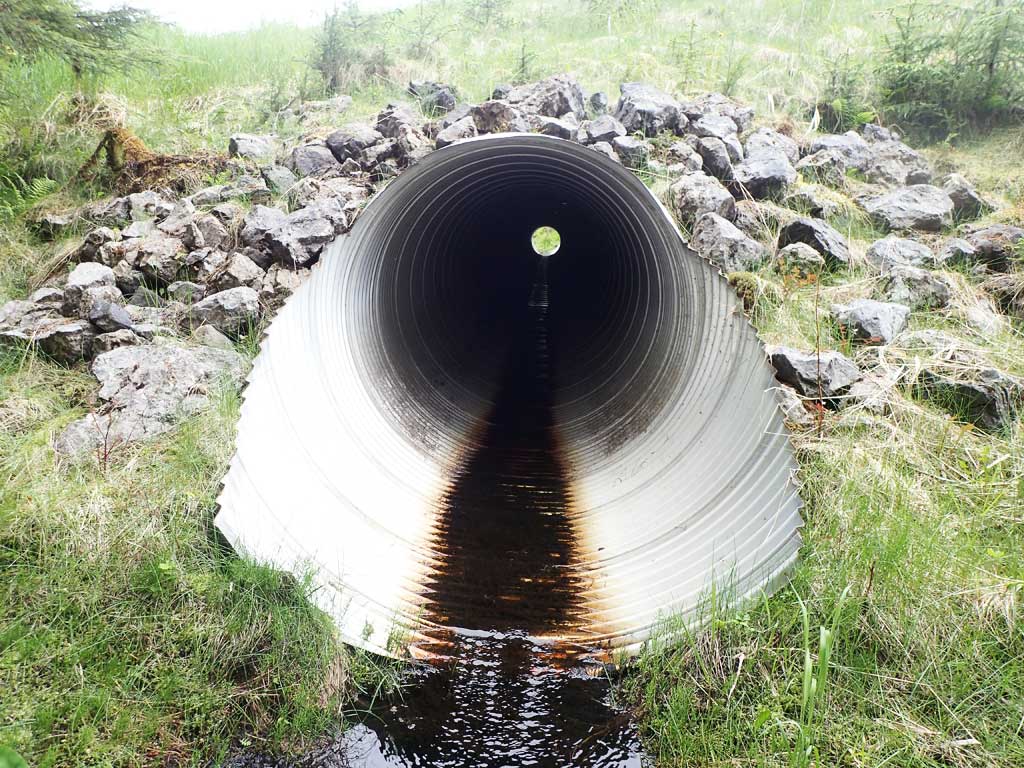
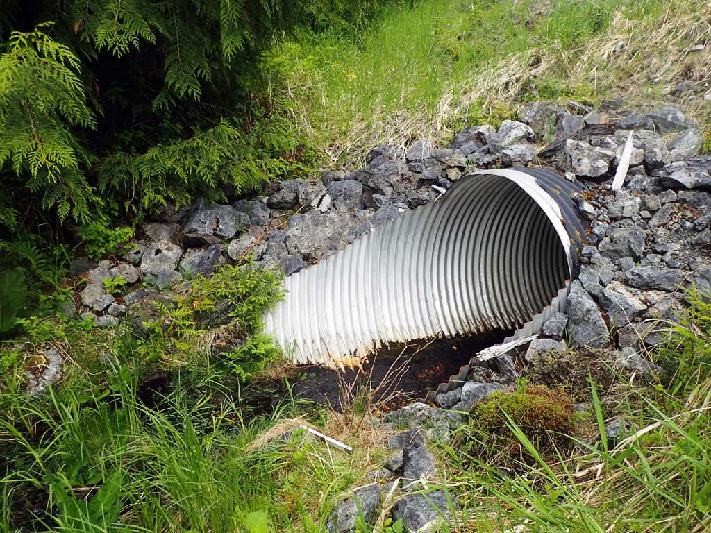
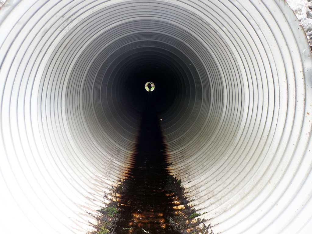
| ID: 1 | Structure Type: Circular pipe (Corrugated steel) | Fish Passage Rating: | |||||||||||||||||||||||||||||||||||||||||
|
|
|
|||||||||||||||||||||||||||||||||||||||||
Comments: Pipe gradient close to stream gradient, but over 3%. Top of culvert length 134.4'. |
|||||||||||||||||||||||||||||||||||||||||||
Culvert Observations:
|
|||||||||||||||||||||||||||||||||||||||||||
Stream Measurements
|
|
| Stream Width Type | Distance From Crossing (ft) |
Stream Width (ft) |
|---|---|---|
| Downstream ordinary high water | 100.0 | 2.50 |
| Downstream ordinary high water | 125.0 | 1.60 |
| Downstream ordinary high water | 150.0 | 3.20 |
Elevations
| Locator ID | Culvert Number |
River Distance (ft)1 |
Distance From Crossing (ft)2 |
Relative Elevation (ft) |
|---|---|---|---|---|
| Road Elev | 113.59 | |||
| D/S Grade Ctrl (Thalweg) | 0.00 | 86.76 | ||
| D/S Water Surface Elev | 0.00 | 86.99 | ||
| D/S Tailcrest or 1st Thalweg | 27.00 | 87.36 | ||
| D/S Water Surface Elev | 27.00 | 87.72 | ||
| D/S Water Surface Elev | 37.00 | 88.09 | ||
| Max Pool Depth | 37.00 | 87.38 | ||
| Outlet Invert (on pipe) | 38.00 | 87.98 | ||
| D/S Water Surface Elev | 38.00 | 88.08 | ||
| Outlet Culvert Top | 44.00 | 93.55 | ||
| Inlet Culvert Top | 178.00 | 98.49 | ||
| U/S Water Surface Elev | 184.00 | 93.63 | ||
| Inlet Culvert Invert (on pipe, 1st resting) | 184.00 | 93.40 | ||
| U/S Grade Ctrl (Thalweg) (small debris grade point) | 204.00 | 94.20 | ||
| U/S Water Surface Elev | 204.00 | 94.51 | ||
| U/S Grade Ctrl (Thalweg) (on top of log) | 221.00 | 96.51 | ||
| U/S Water Surface Elev | 221.00 | 96.73 |
Notes:
- River distance is measured continuously throughout the survey reach along the thalweg of the stream.
- Measured from each end of the crossing along the thalweg of the stream.
Fish Sampling Efforts
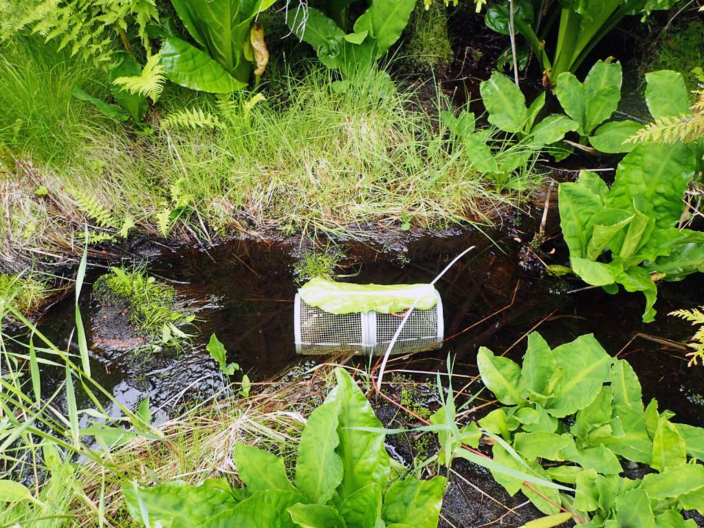
| Gear Type: Minnow Trap (A) | Trap Duration(h): 2.5 | |
| Comments: no fish | ||
| Gear Type: Minnow Trap (B) | Trap Duration(h): 2.5 | |
| Comments: no fish | ||
Fish Observations
No fish observations occurred during this survey.
Photos


Questions or comments about this report can be directed to dfg.dsf.webmaster@alaska.gov