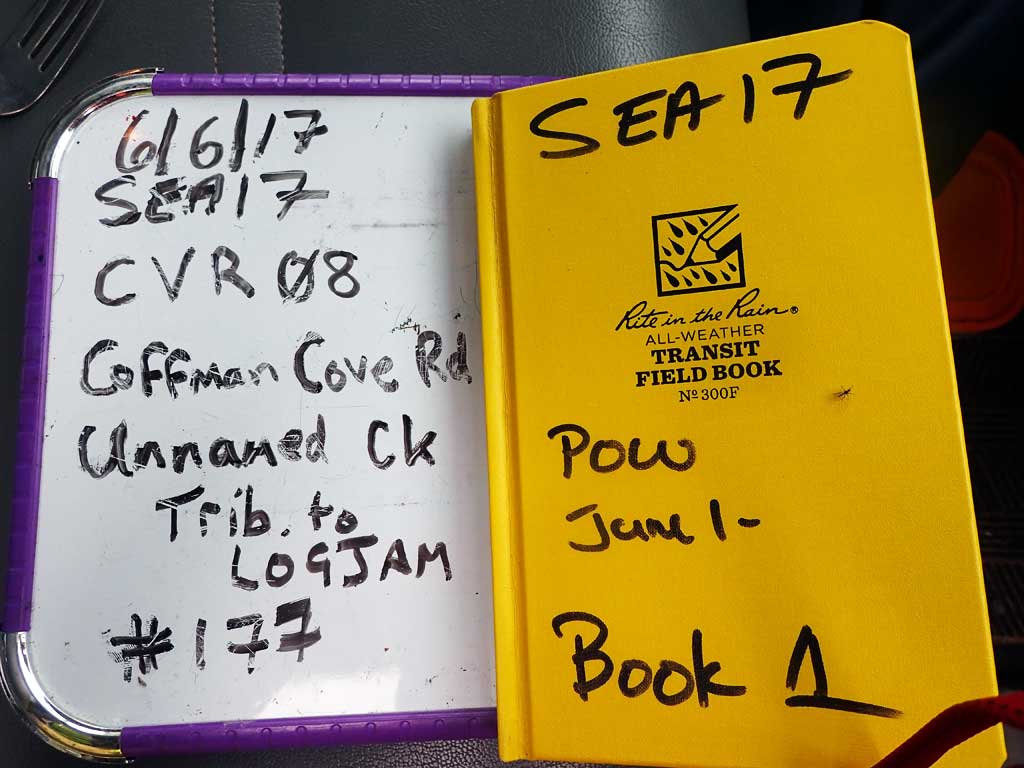
Fish Passage Site 10103557
Coordinates (dec. deg.): 55.89476°, -133.01965°
Legal Description: C069S081E08
Region: Southeast
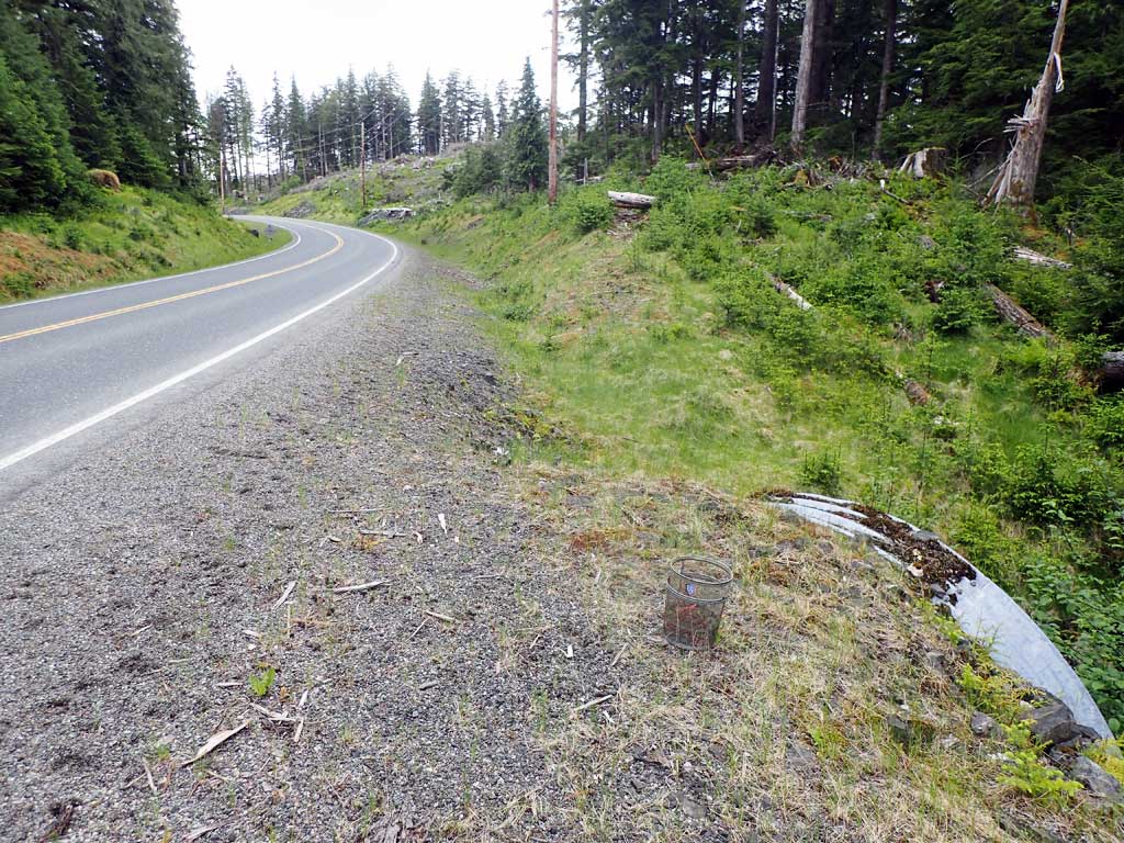
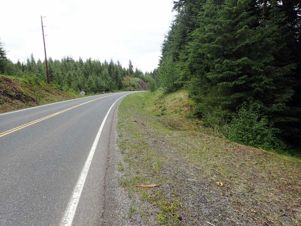
Road Name: Coffman Cove Road
Datum: NAD83
Quad Name / ITM: Craig D-4
AWC Stream #:
Stream Name: Unnamed
Elevation:
Site Comments: None
Survey SEA17-CVR08
Observers: Mark Eisenman, Elizabeth Flory, Kelly Petty
Overall Fish Passage Rating:
Tidal: No
Backwatered: No
Step Pools: No
Construction Year:
Site Observations:
- Culvert gradient gray
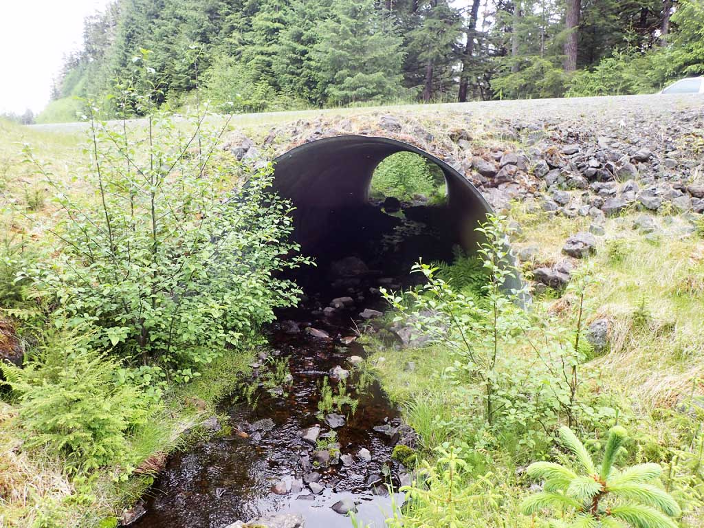
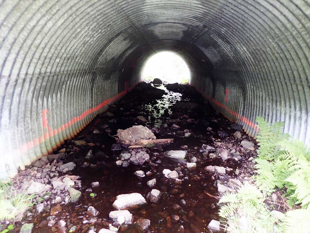
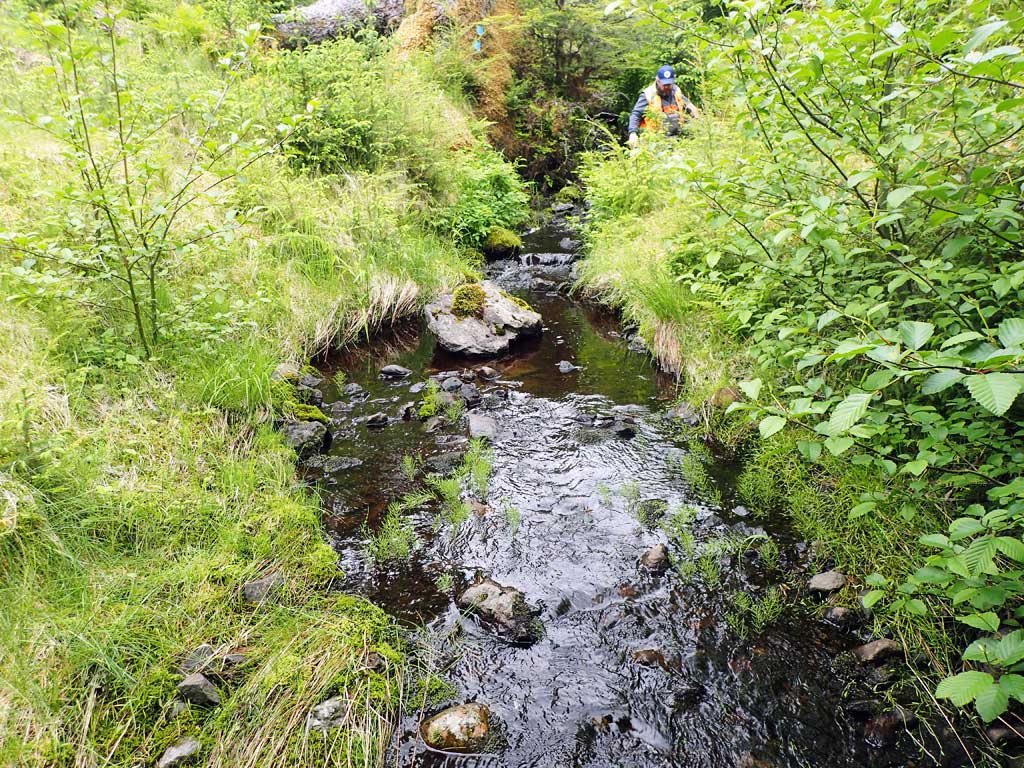
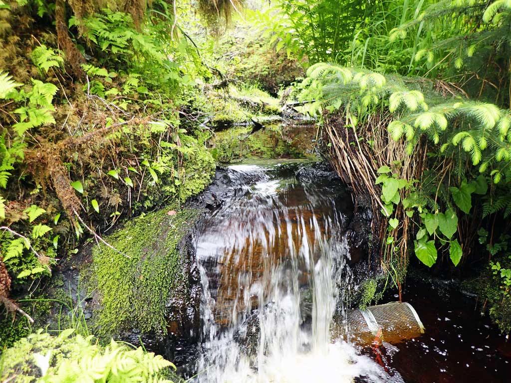
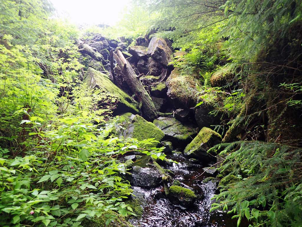
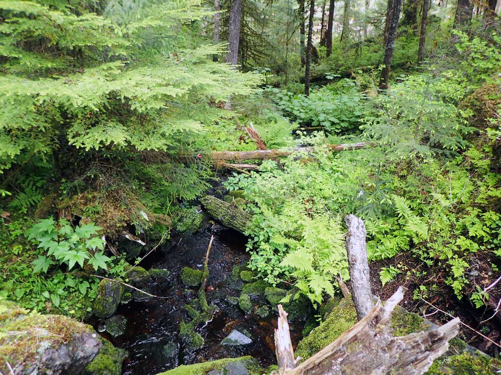
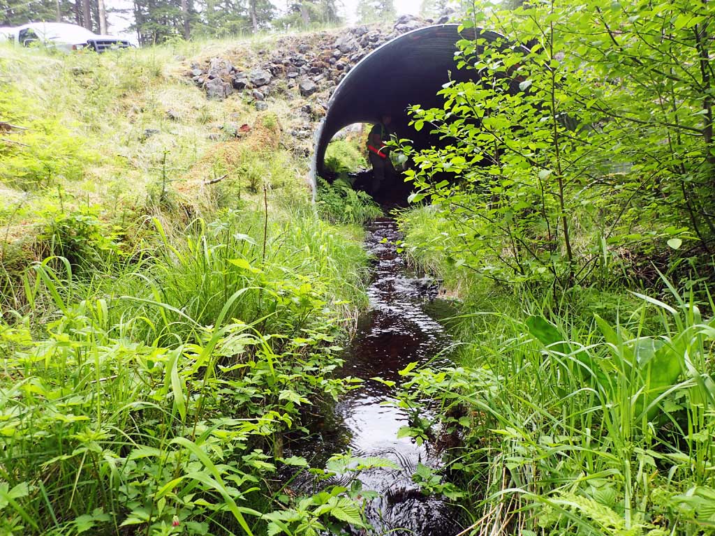
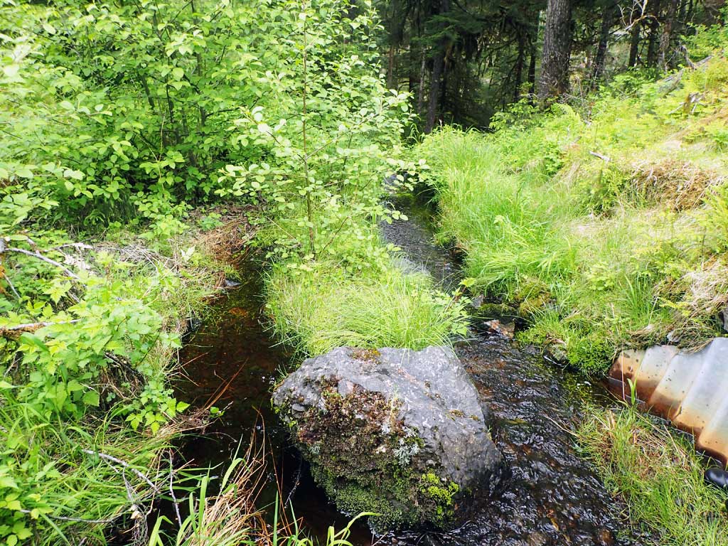
Comments: Riprap downstream with steep drop off - barrier to fish migration. The culvert does not appear to be a barrier to fish passage and is set at close to 1% of the stream gradient, however a large 14 foot rip rap falls created by road prism just downstream from the culvert does appear to be a total barrier. Dolly Varden char caught just downstream of falls
Culvert Measurements
| ID: 1 | Structure Type: Circular pipe (Structural steel plate) | Fish Passage Rating: | ||||||||||||||||||||||||||||||||||||||||||
|
|
|
||||||||||||||||||||||||||||||||||||||||||
Comments: Gradient of pipe more than 1% of stream gradient, but site has a barrier downstream of culvert caused by road prism rip rap. Baffled. |
||||||||||||||||||||||||||||||||||||||||||||
Culvert Observations:
|
||||||||||||||||||||||||||||||||||||||||||||
Stream Measurements
|
|
| Stream Width Type | Distance From Crossing (ft) |
Stream Width (ft) |
|---|---|---|
| Upstream ordinary high water | 50.0 | 5.20 |
| Upstream ordinary high water | 100.0 | 6.00 |
| Upstream ordinary high water | 150.0 | 5.00 |
Elevations
| Locator ID | Culvert Number |
River Distance (ft)1 |
Distance From Crossing (ft)2 |
Relative Elevation (ft) |
|---|---|---|---|---|
| Road Elev | 108.01 | |||
| D/S Grade Ctrl (Thalweg) (base of boulder falls) | 0.00 | 80.95 | ||
| D/S Water Surface Elev | 0.00 | 81.28 | ||
| D/S Tailcrest or 1st Thalweg (top of boulder falls) | 37.00 | 95.02 | ||
| D/S Water Surface Elev | 37.00 | 95.35 | ||
| D/S Water Surface Elev | 50.00 | 95.51 | ||
| Outlet Invert | 50.00 | 95.32 | ||
| Outlet Culvert Top | 59.00 | 104.88 | ||
| Inlet Culvert Top | 126.30 | 107.16 | ||
| U/S Water Surface Elev | 135.30 | 99.04 | ||
| Inlet Culvert Invert | 135.30 | 98.85 | ||
| U/S Grade Ctrl (Thalweg) (first resting) | 147.30 | 98.85 | ||
| D/S Water Surface Elev | 147.30 | 99.18 | ||
| U/S Grade Ctrl (Thalweg) (top of log step) | 163.30 | 101.82 | ||
| U/S Water Surface Elev | 163.30 | 101.99 | ||
| U/S Grade Ctrl (Thalweg) | 239.30 | 103.16 | ||
| U/S Water Surface Elev | 239.30 | 103.54 |
Notes:
- River distance is measured continuously throughout the survey reach along the thalweg of the stream.
- Measured from each end of the crossing along the thalweg of the stream.
Fish Sampling Efforts
| Gear Type: Minnow Trap (A) | Trap Duration(h): 2.5 | |
| Comments: no fish | ||
| Gear Type: Minnow Trap (B) | Trap Duration(h): 2.5 | |
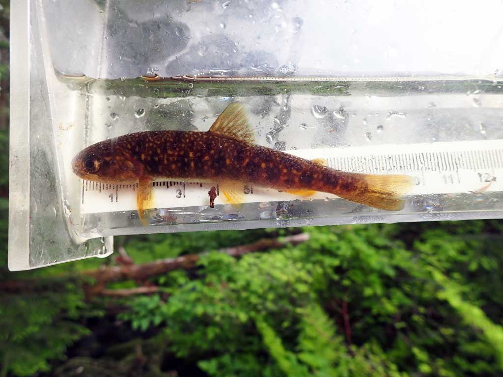
| Comments: two dollys caught | ||
Fish Observations
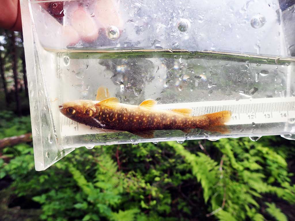
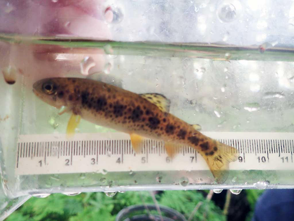
| Species: juvenile Dolly Varden | Life History: | ||
| Total Fish Observed: 2 | Fish Measured: 2 | Fork Lengths (mm) Min: 98 Max: 99 Mean: 98 | |
| Collected/Observed by Gear Type: Downstream Minnow Trap (2) | |||
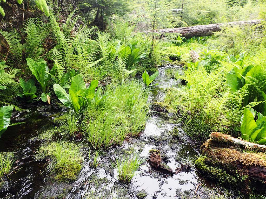
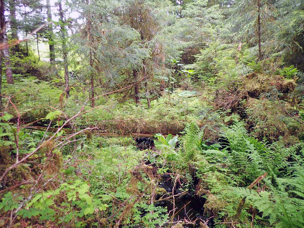
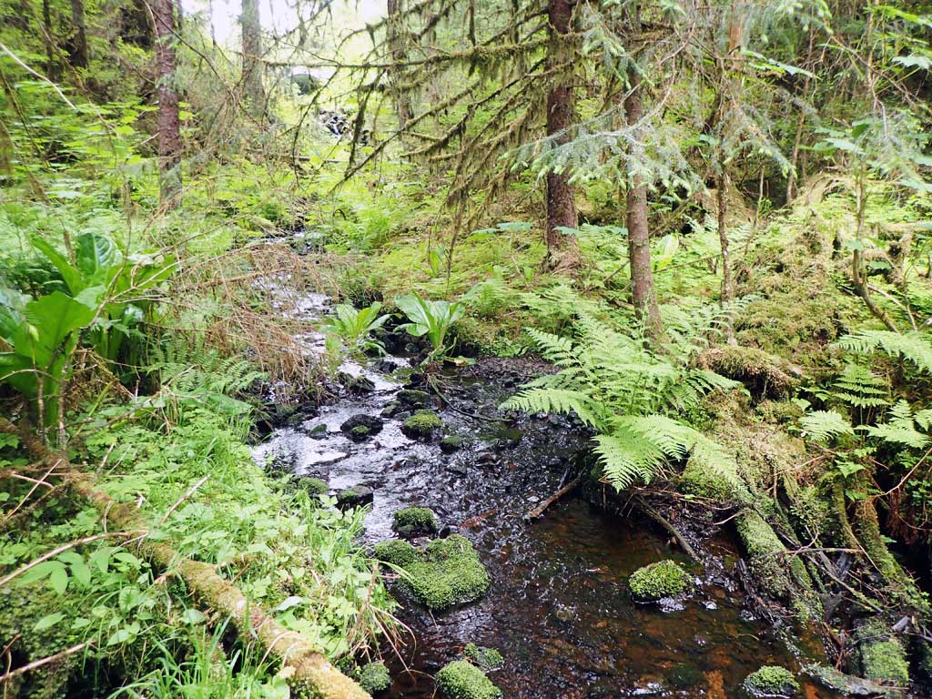
Photos


Questions or comments about this report can be directed to dfg.dsf.webmaster@alaska.gov