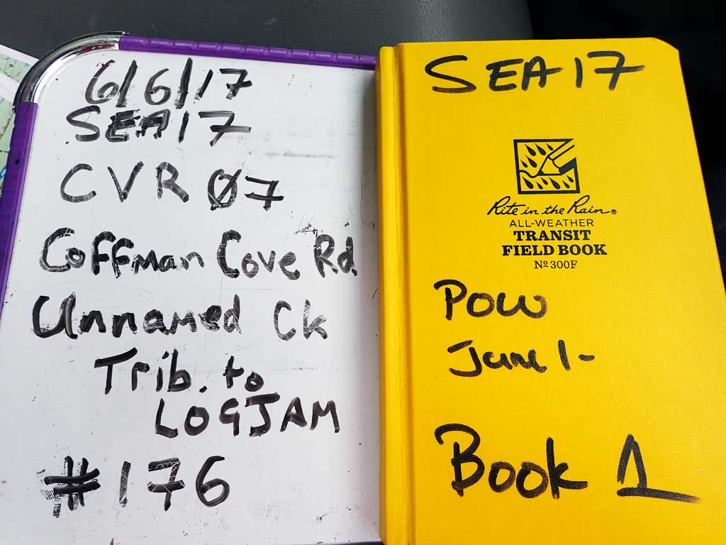
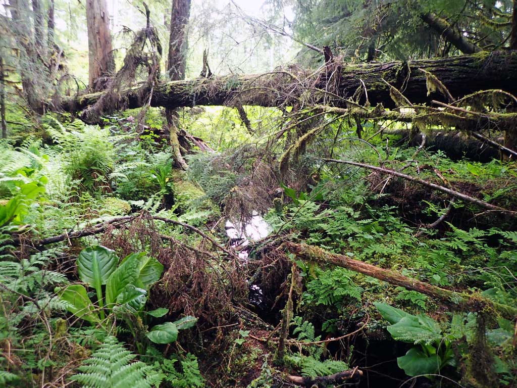
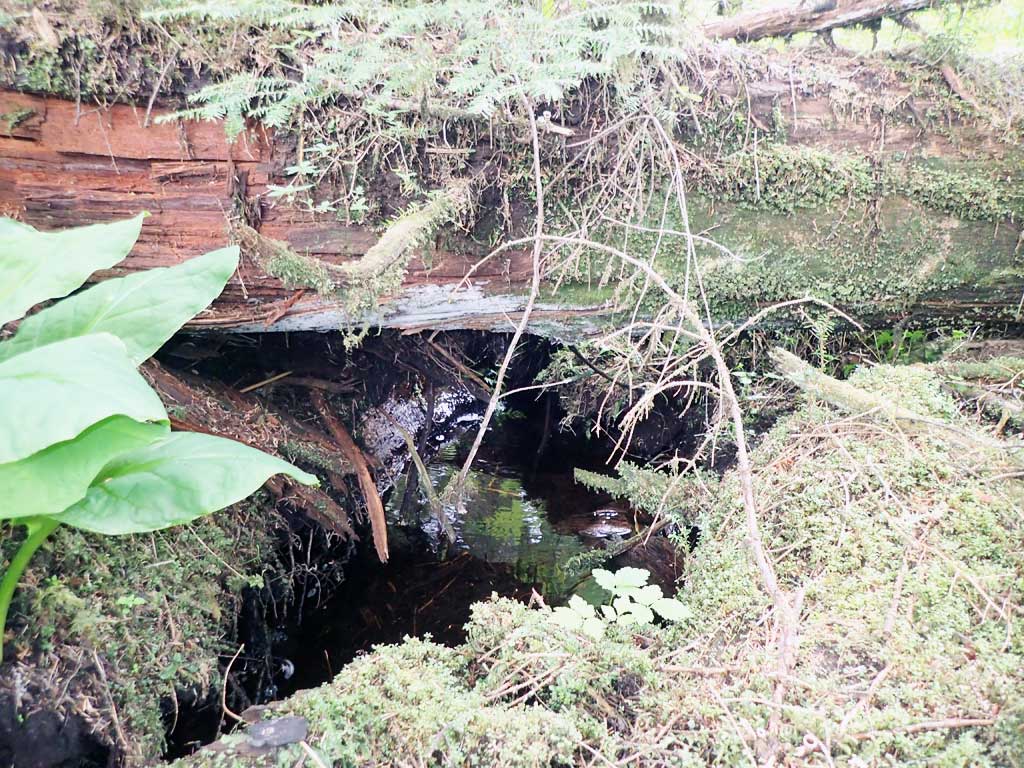
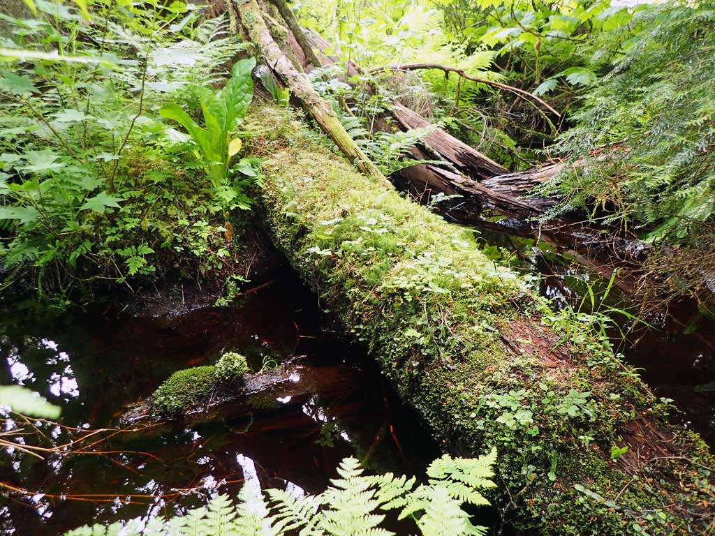
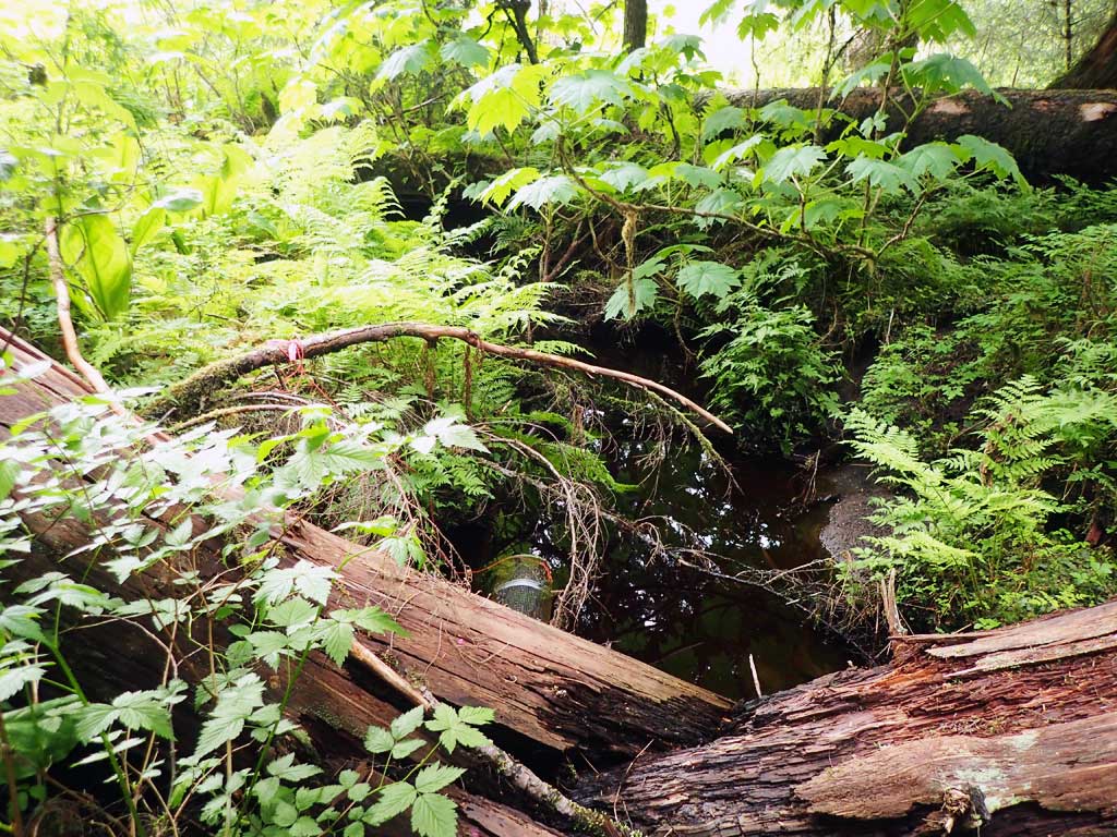
Fish Passage Site 10103556
Coordinates (dec. deg.): 55.89829°, -133.01582°
Legal Description: C069S081E08
Region: Southeast
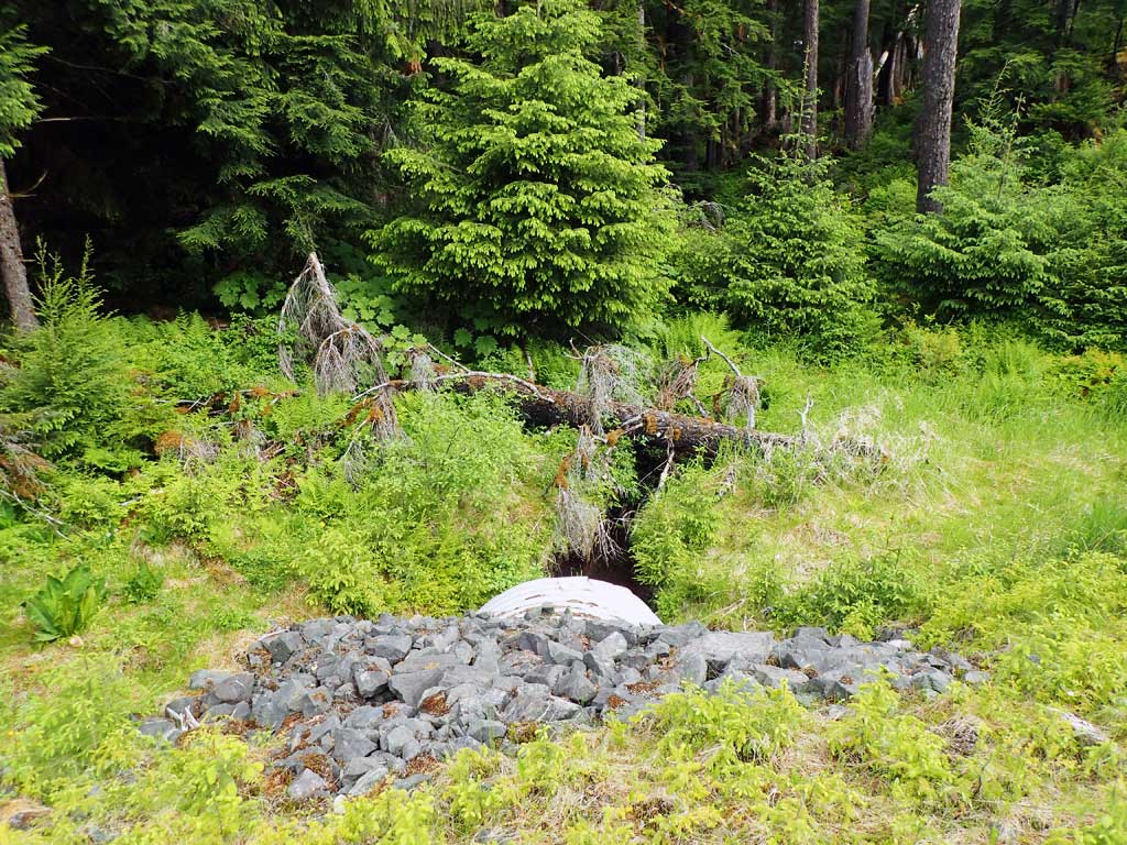
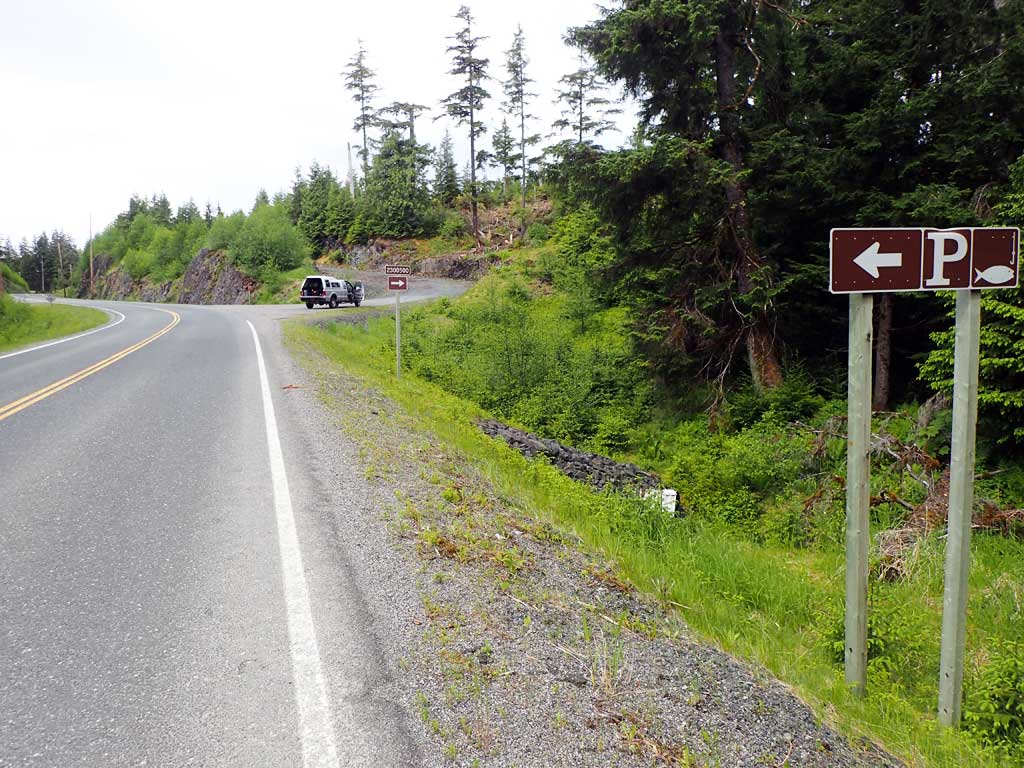
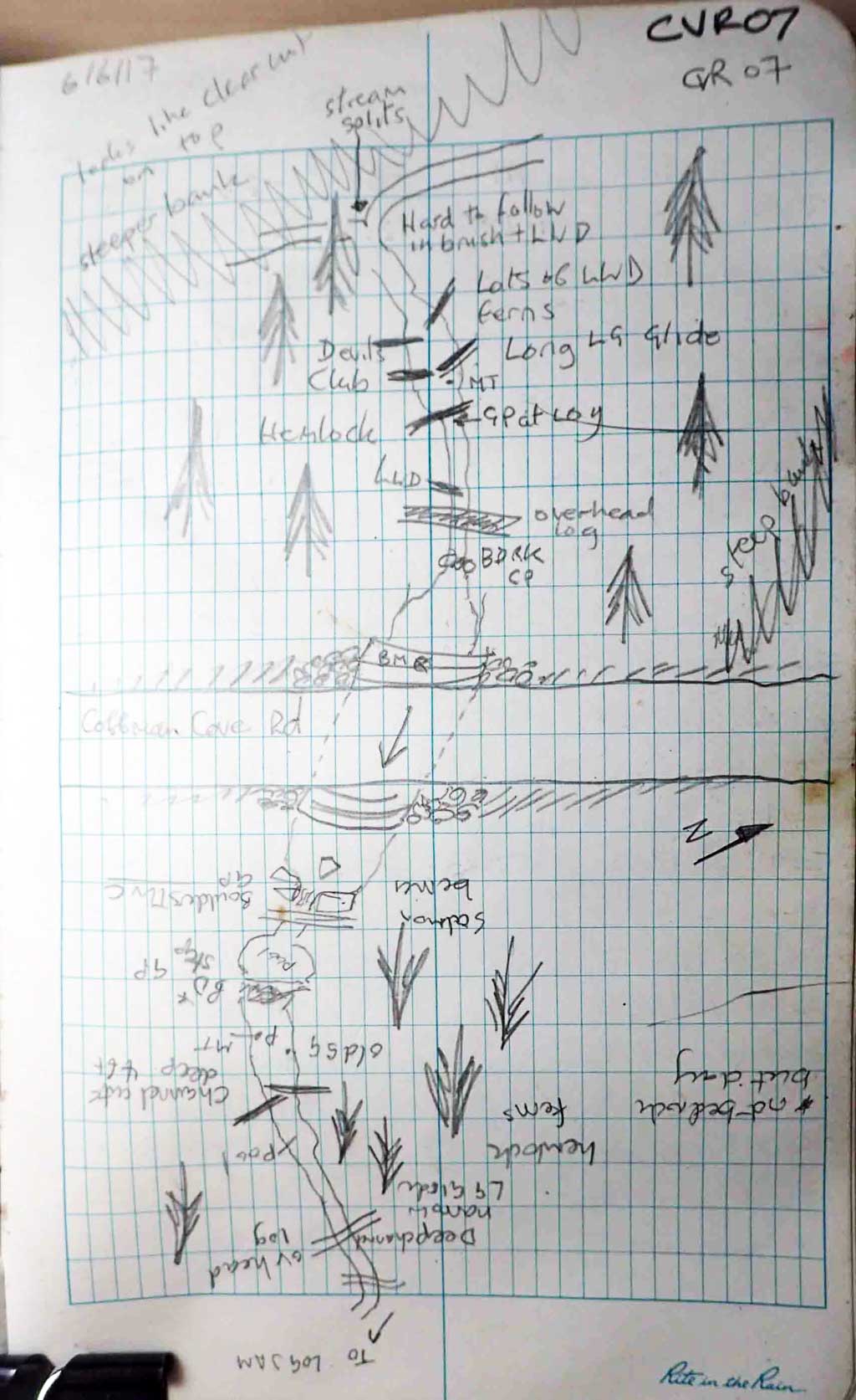
Road Name: Coffman Cove Road
Datum: NAD83
Quad Name / ITM: Craig D-4
AWC Stream #:
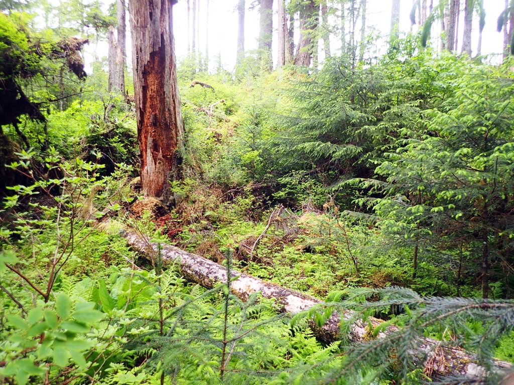
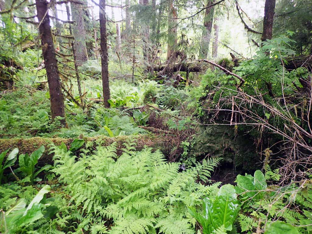
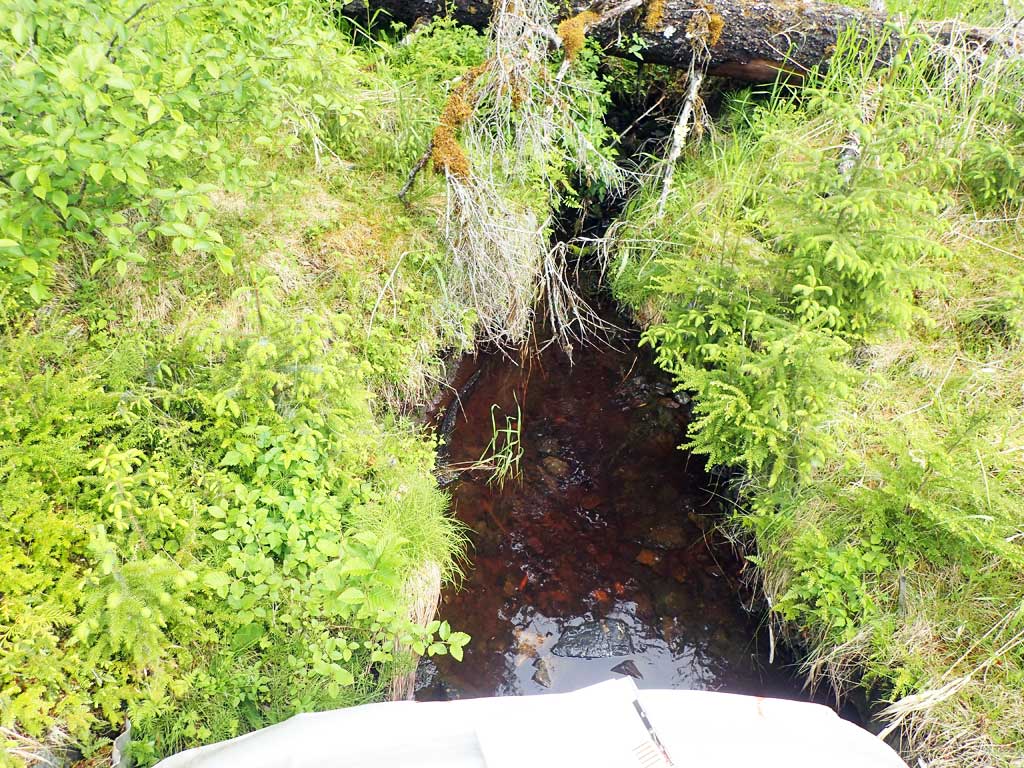
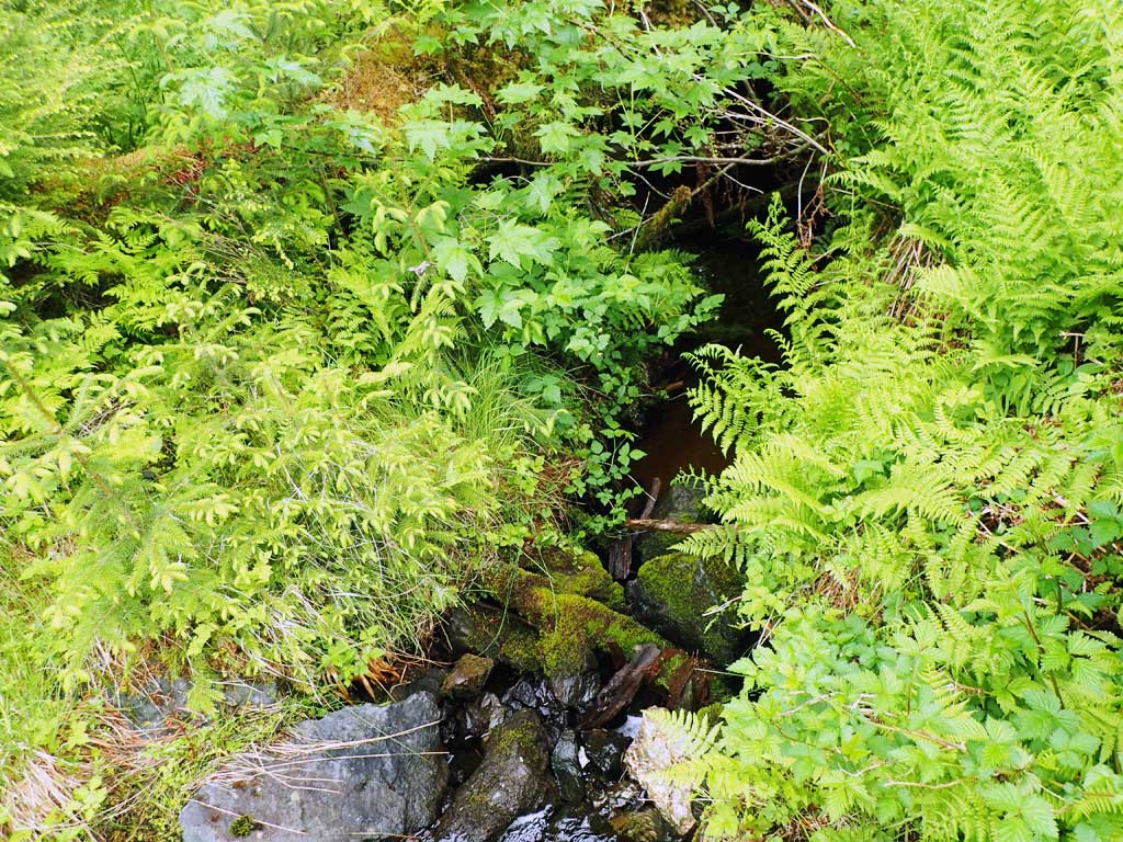
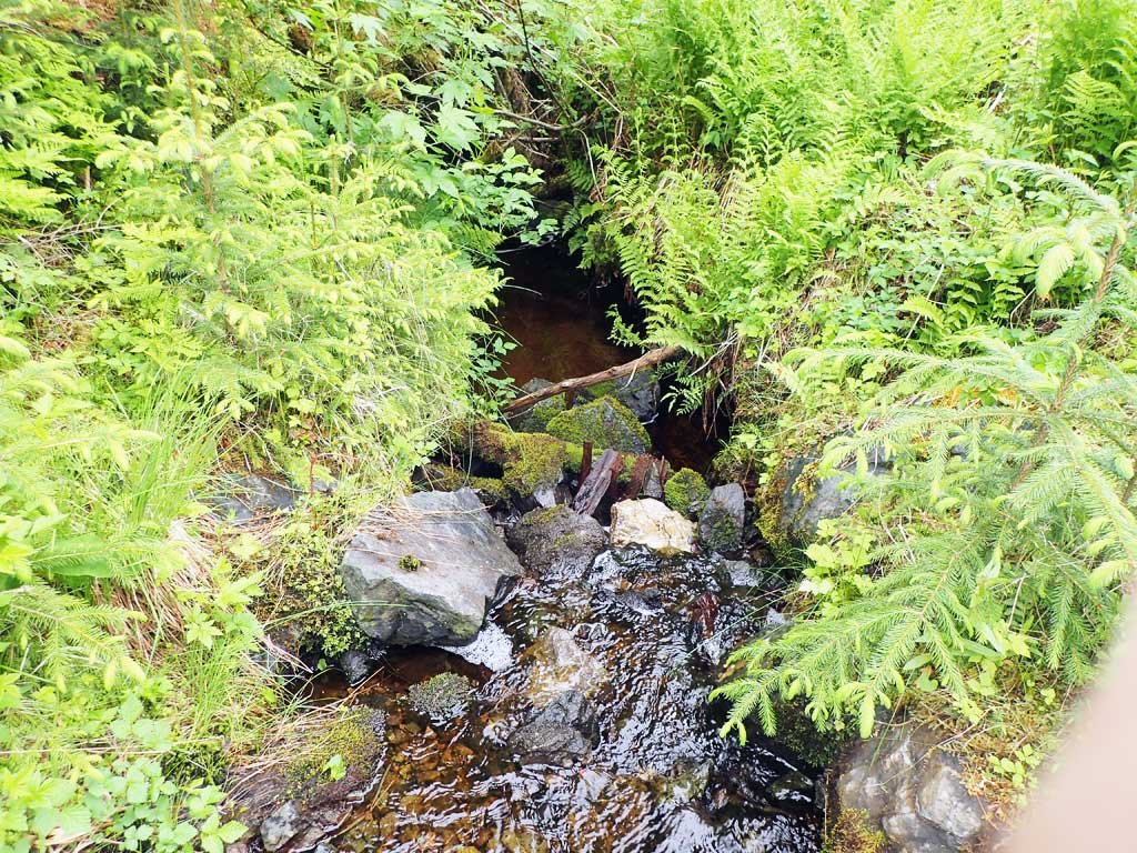
Stream Name: Unnamed
Elevation:
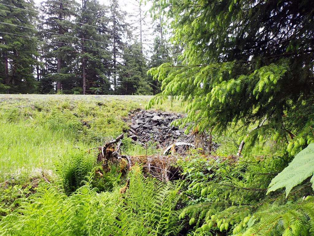
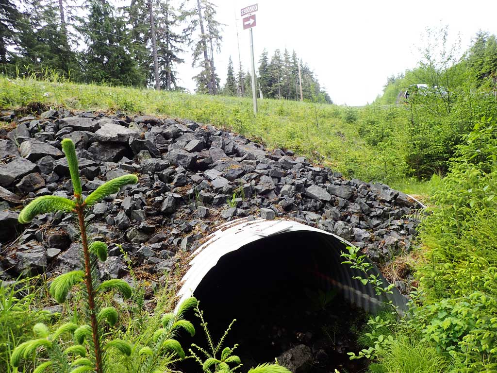
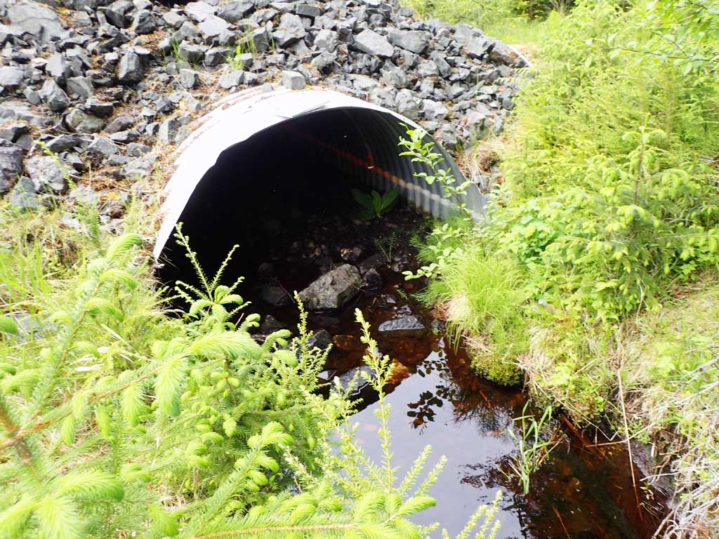
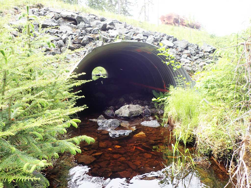
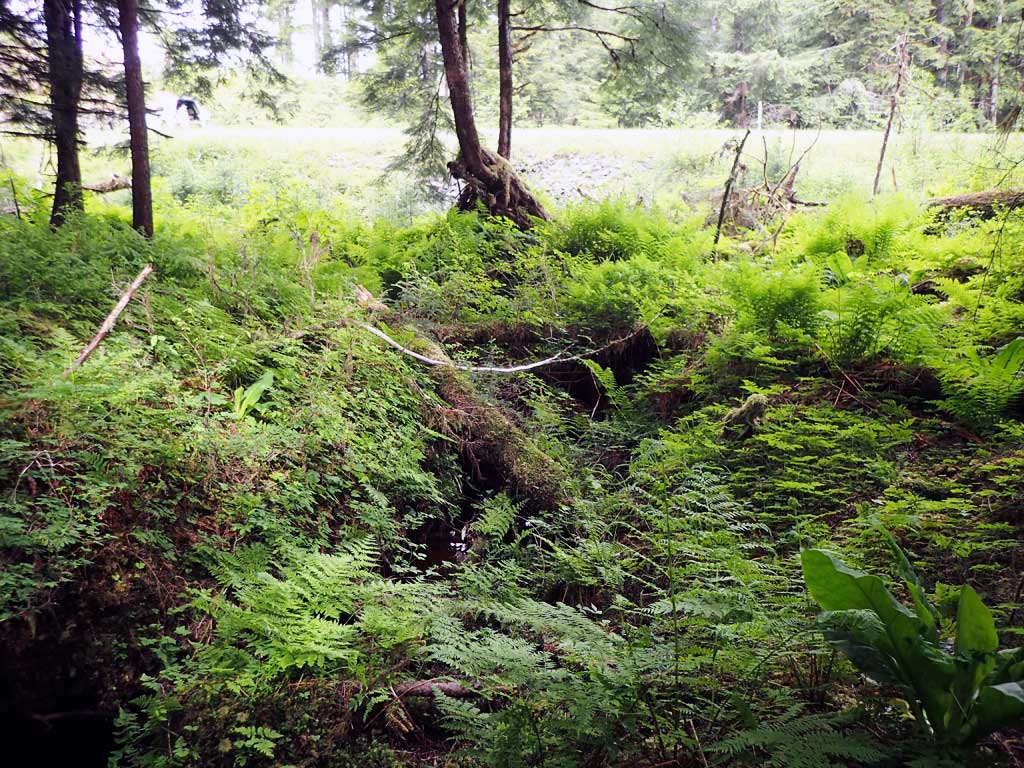
Site Comments: Site next to road #2300500.
Survey SEA17-CVR07
Observers: Mark Eisenman, Elizabeth Flory, Kelly Petty
Overall Fish Passage Rating:
Tidal: No
Backwatered: No
Step Pools: No
Construction Year:
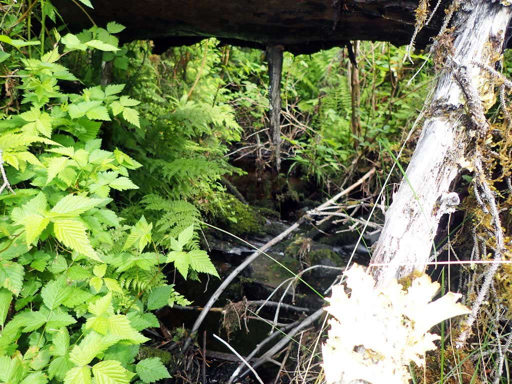
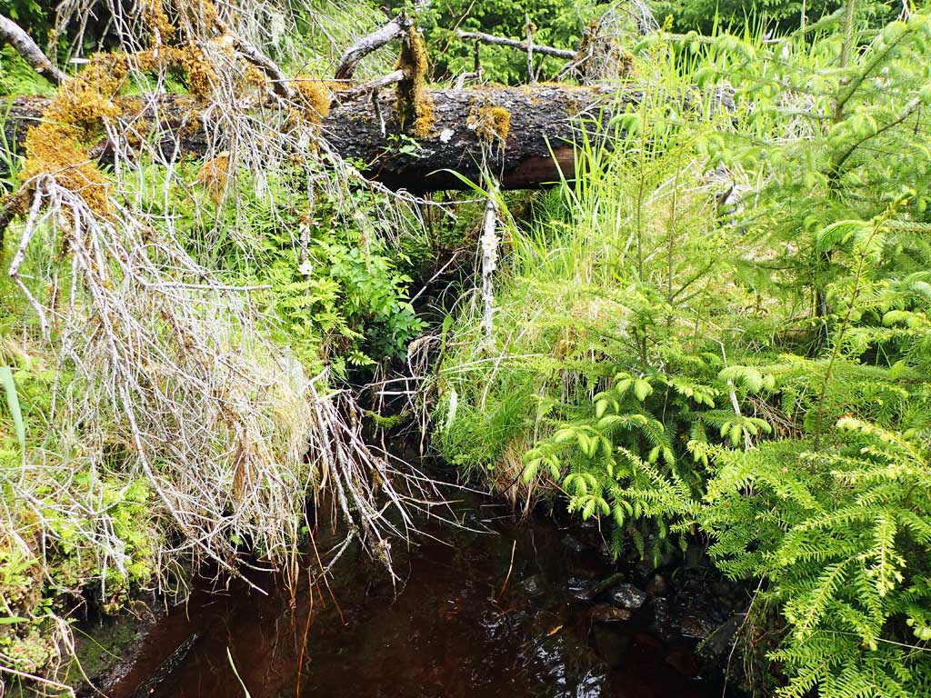
Site Observations:
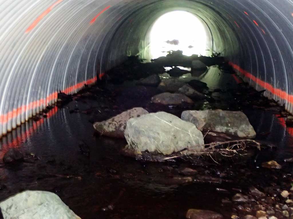
- Culvert gradient gray
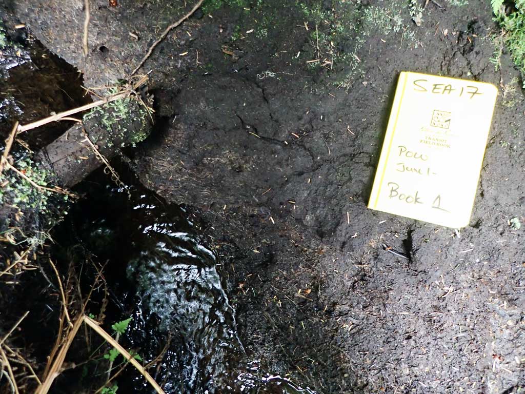
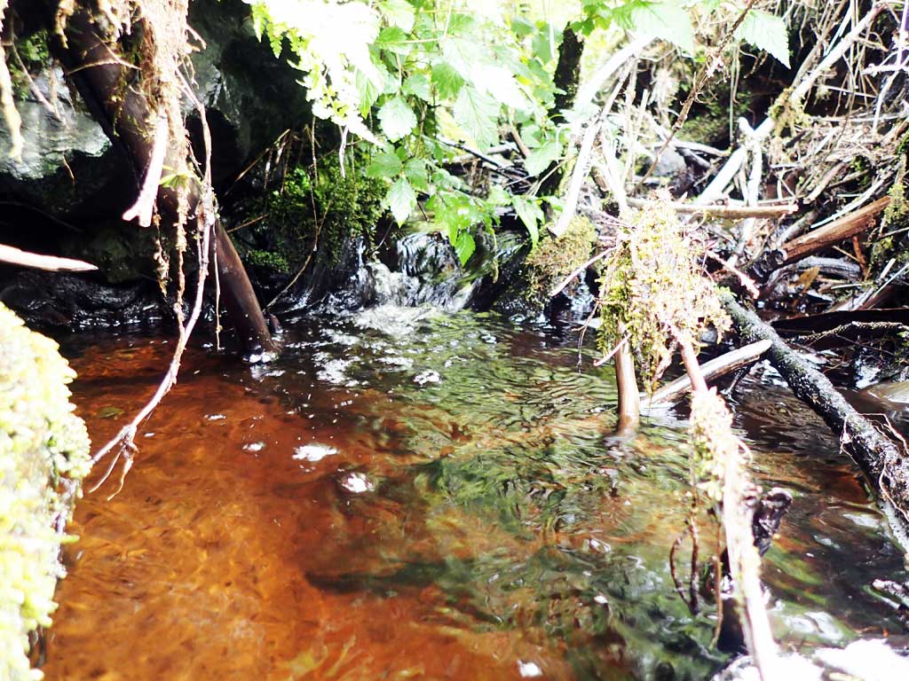
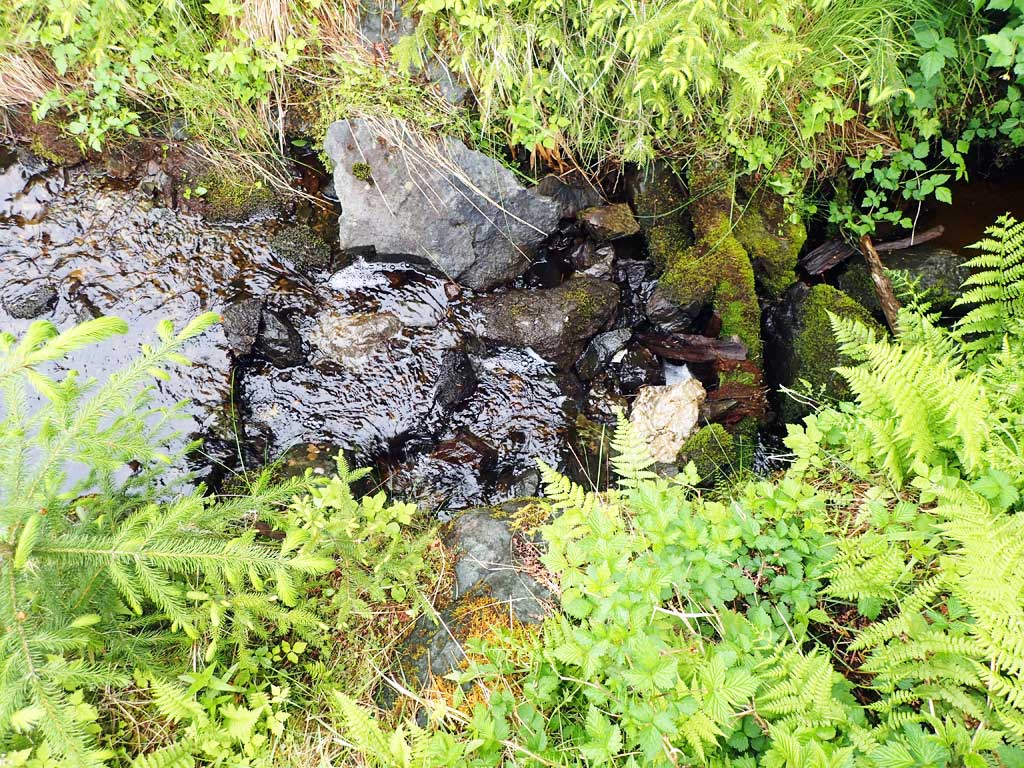
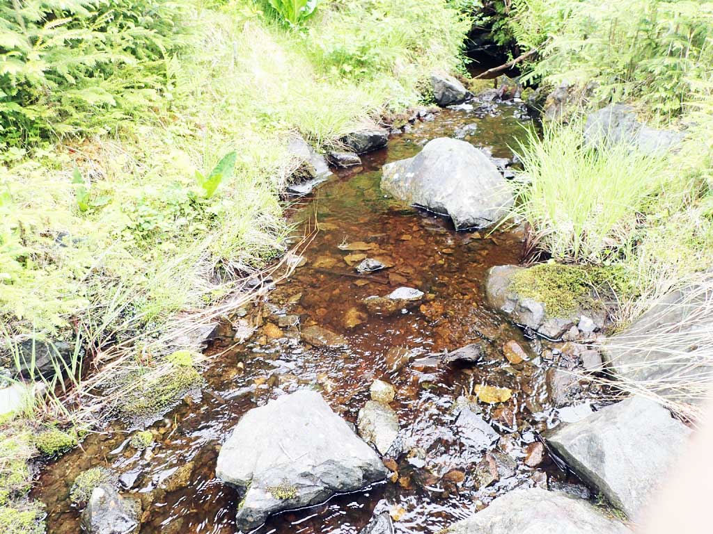
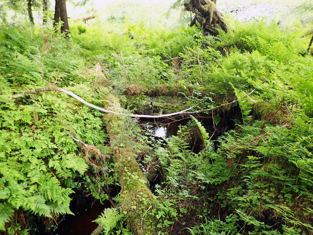
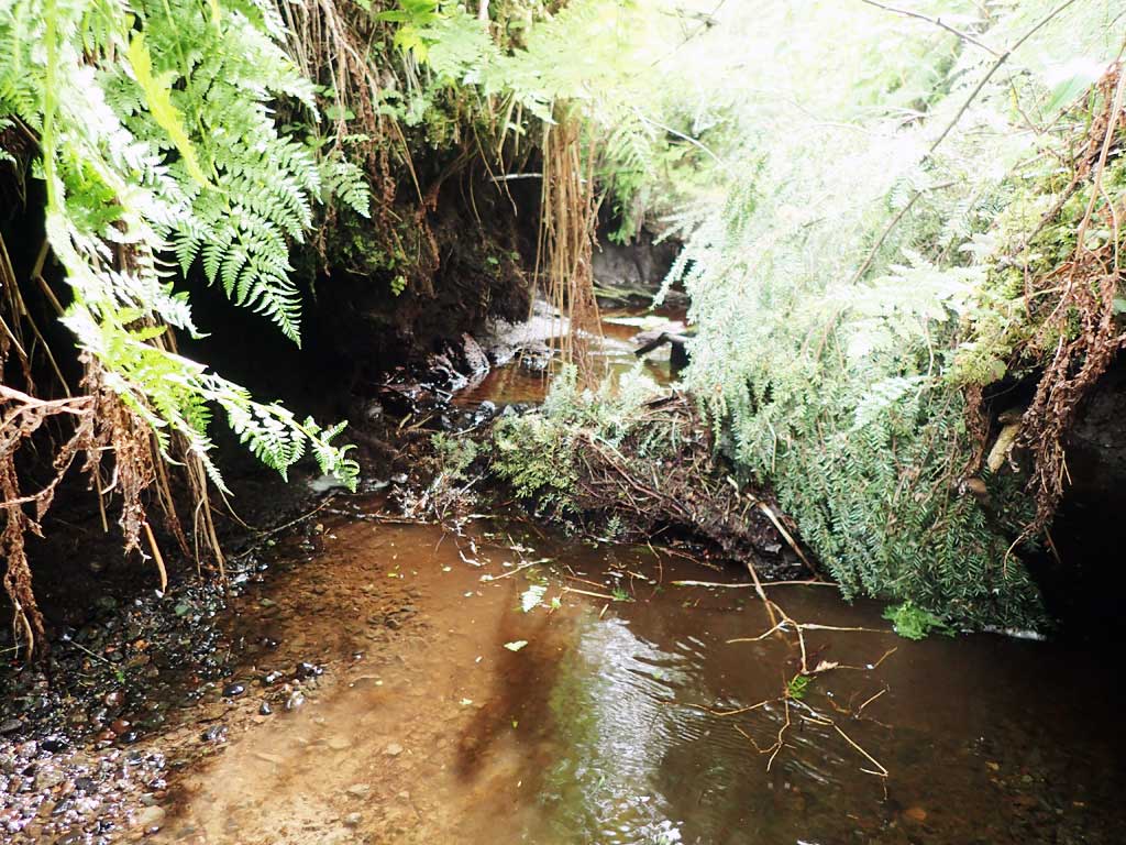
Comments: Clay bottom in most places.
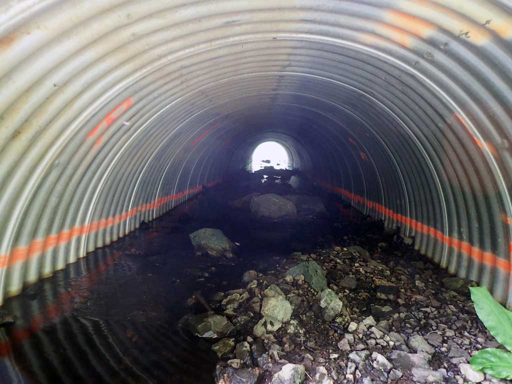
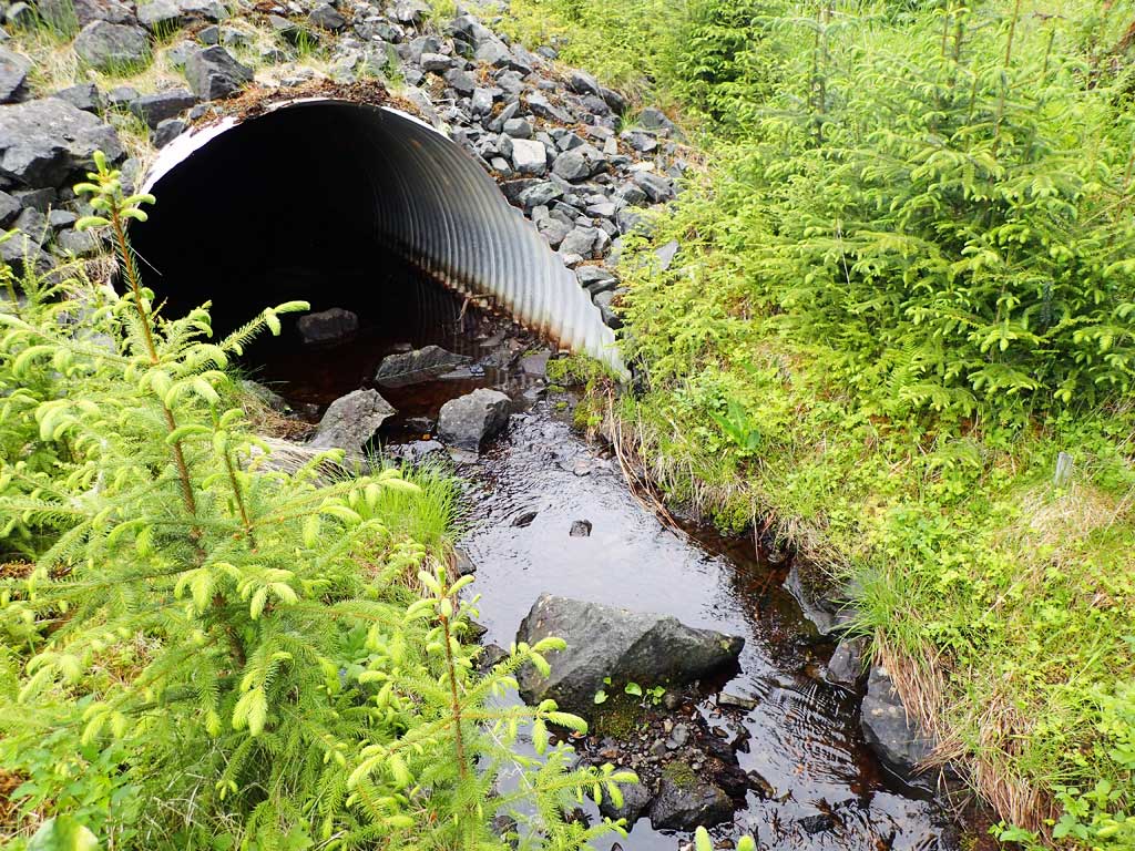
Culvert Measurements
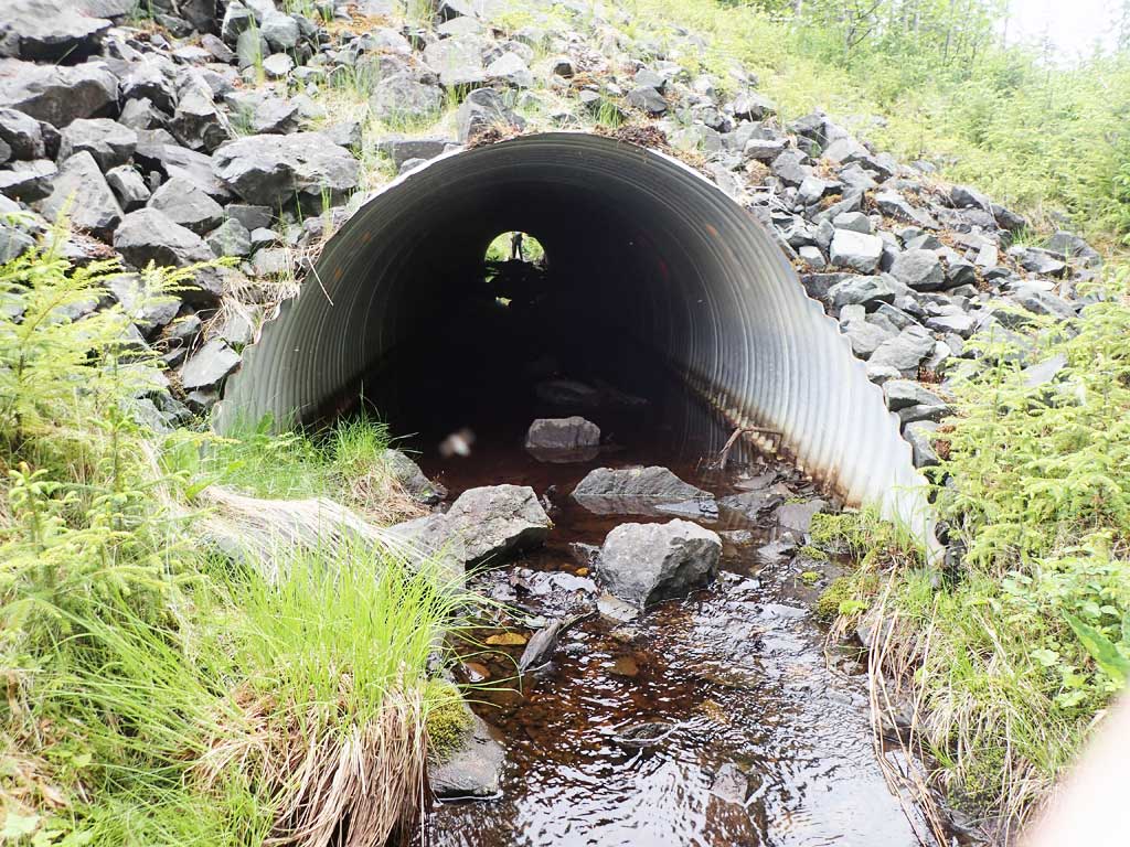
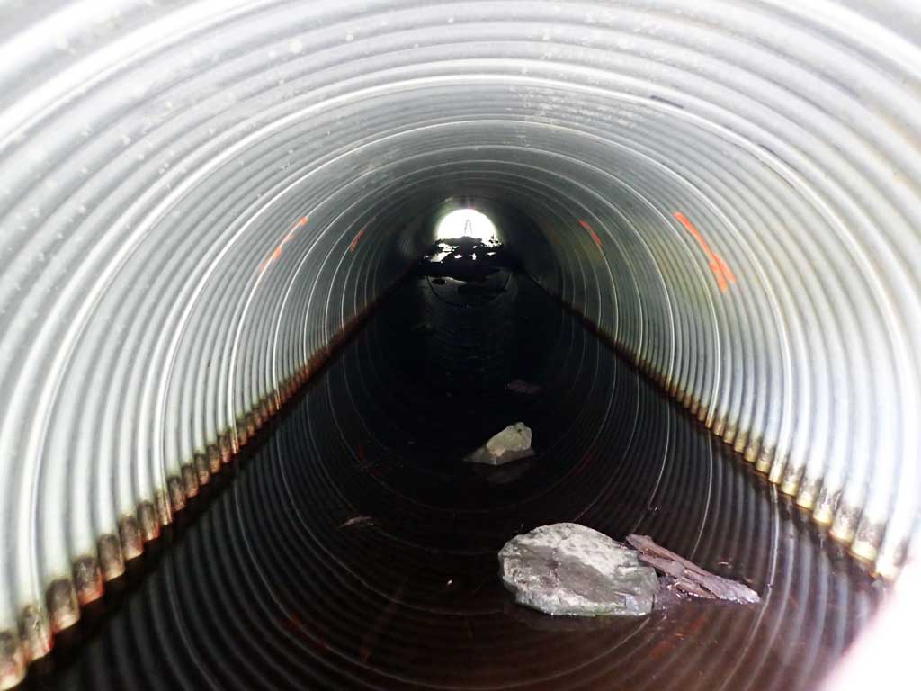
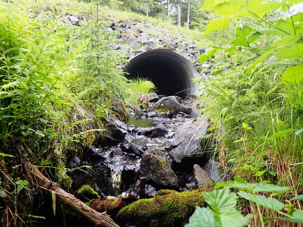
| ID: 1 | Structure Type: Circular pipe (Corrugated steel) | Fish Passage Rating: | ||||||||||||||||||||||||||||||||||||||||||
|
|
|
||||||||||||||||||||||||||||||||||||||||||
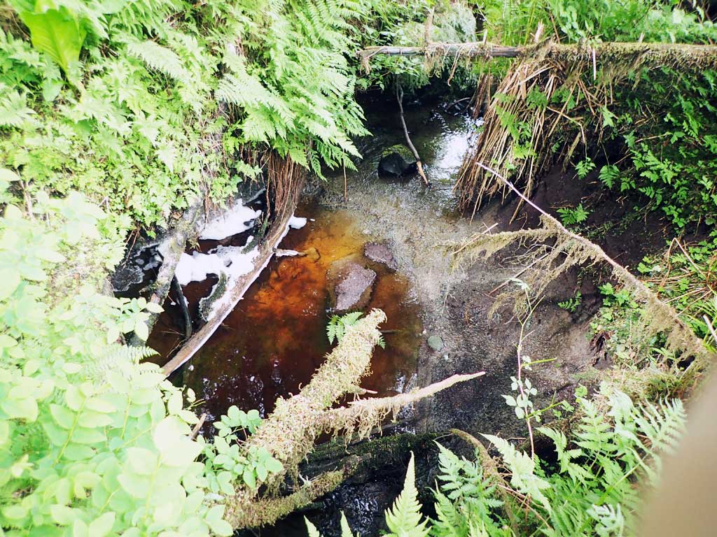
Comments: No visible rustline. Top of outlet slightly higher than inlet giving negative gradient. Lots of silt inside culvert. Top of culvert length 97.5. Looks like some substrate from the downstream end of the culvert has been scoured away or the culvert was not filled to spray paint line. |
||||||||||||||||||||||||||||||||||||||||||||
Culvert Observations:
|
||||||||||||||||||||||||||||||||||||||||||||
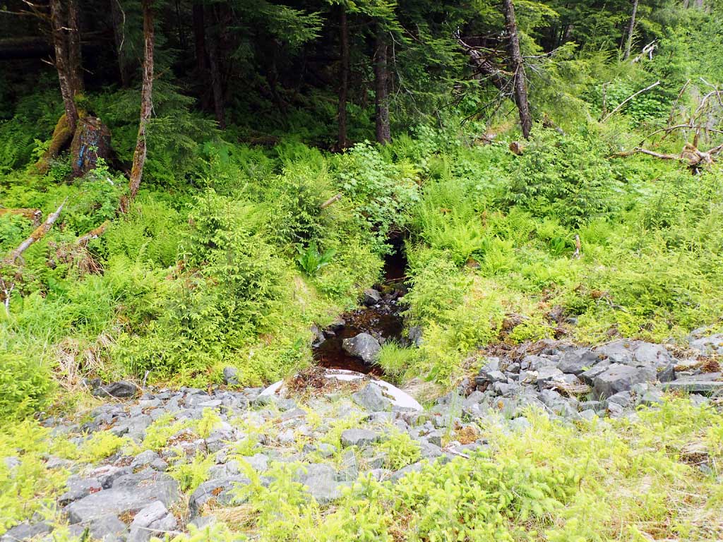
Stream Measurements
|
|
| Stream Width Type | Distance From Crossing (ft) |
Stream Width (ft) |
|---|---|---|
| Upstream ordinary high water | 50.0 | 2.50 |
| Upstream ordinary high water | 100.0 | 1.90 |
| Upstream ordinary high water | 150.0 | 1.50 |
Elevations
| Locator ID | Culvert Number |
River Distance (ft)1 |
Distance From Crossing (ft)2 |
Relative Elevation (ft) |
|---|---|---|---|---|
| Road Elev | 109.35 | |||
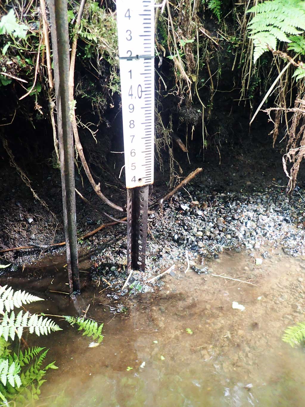
| D/S Grade Ctrl (Thalweg) (top of clay lump) | 0.00 | 93.34 | ||
| D/S Water Surface Elev | 0.00 | 93.51 | ||
| D/S Tailcrest or 1st Thalweg (rocks) | 17.00 | 94.72 | ||
| D/S Water Surface Elev | 17.00 | 94.85 | ||
| D/S Water Surface Elev | 23.00 | 94.90 | ||
| Outlet Invert (end of mitre well buried) | 23.00 | 94.56 | ||
| Outlet Culvert Top | 32.00 | 100.00 | ||
| Inlet Culvert Top | 129.50 | 99.83 | ||
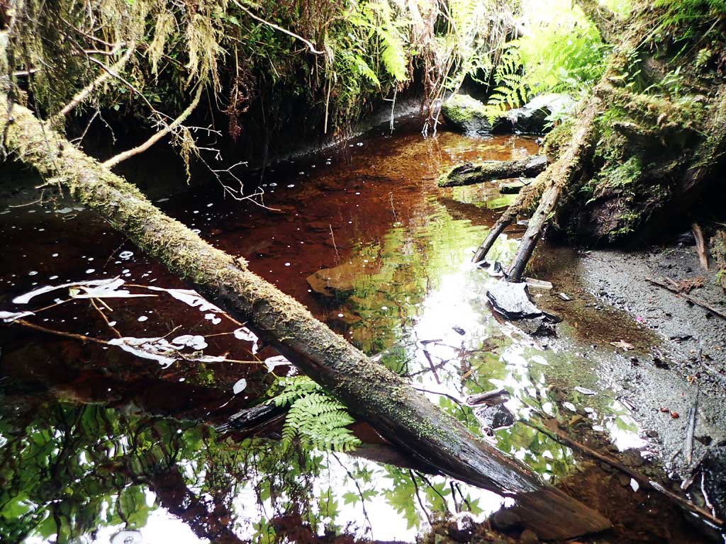
| U/S Headwater (boulders) | 145.50 | 95.73 | ||
| U/S Water Surface Elev | 145.50 | 96.03 | ||
| U/S Grade Ctrl (Thalweg) (log) | 162.50 | 96.08 | ||
| U/S Water Surface Elev | 162.50 | 96.47 | ||
| U/S Water Surface Elev | 209.50 | 96.99 | ||
| U/S Thalweg (stream splits here) | 209.50 | 97.24 |
Notes:
- River distance is measured continuously throughout the survey reach along the thalweg of the stream.
- Measured from each end of the crossing along the thalweg of the stream.
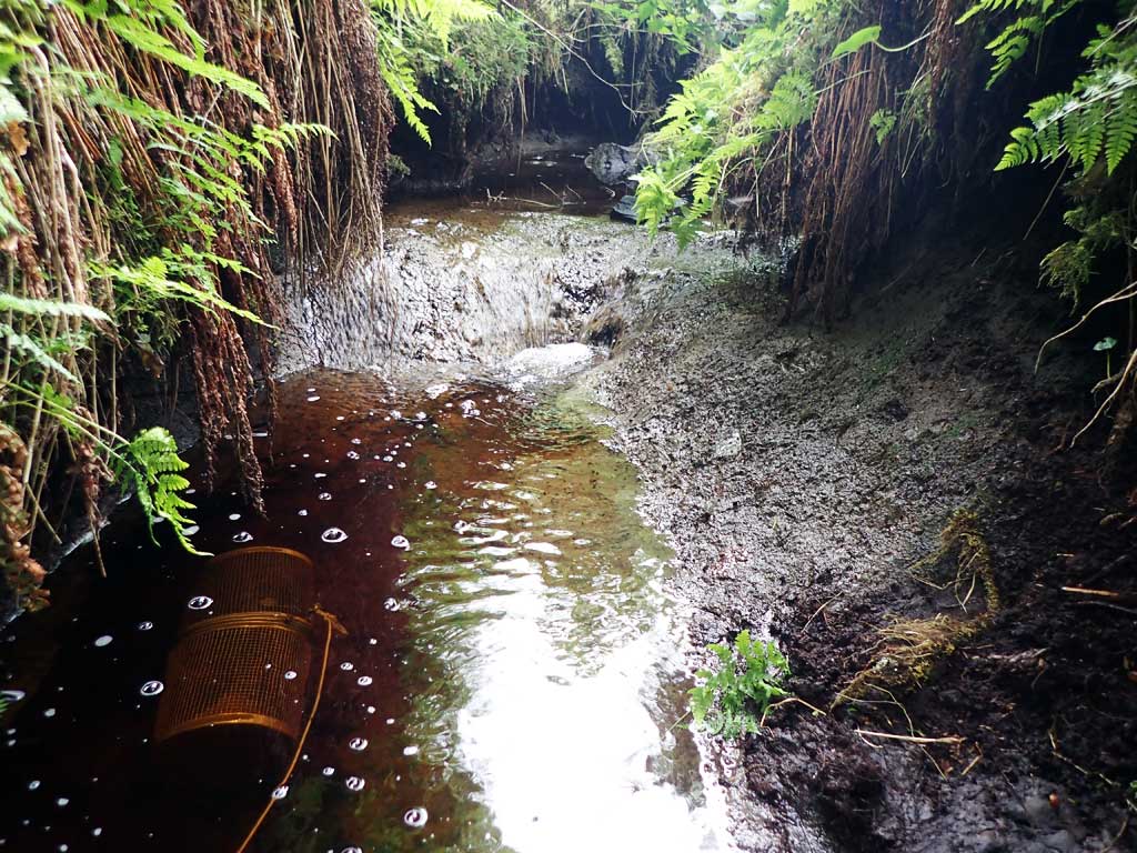
Fish Sampling Efforts
| Gear Type: Minnow Trap (A) | Trap Duration(h): 3.0 | |
| Comments: rainbow 80ft upstream, traps reset overnight | ||
| Gear Type: Minnow Trap (B) | Trap Duration(h): 3.0 | |
| Comments: 1 coho 20ft downstream, traps reset overnight | ||
| Gear Type: Minnow Trap (C) | Trap Duration(h): 19.0 | |
| Comments: rainbow | ||
| Gear Type: Minnow Trap (D) | Trap Duration(h): 19.0 | |
| Comments: coho | ||
Fish Observations
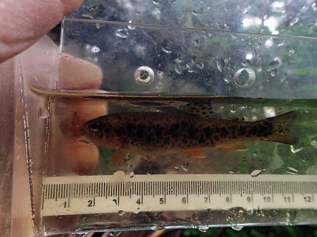
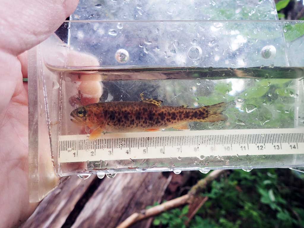
| Species: juvenile coho salmon | Life History: | ||
| Total Fish Observed: 2 | Fish Measured: 2 | Fork Lengths (mm) Min: 39 Max: 79 Mean: 59 | |
| Collected/Observed by Gear Type: Downstream Minnow Trap (1) Downstream Minnow Trap (1) | |||
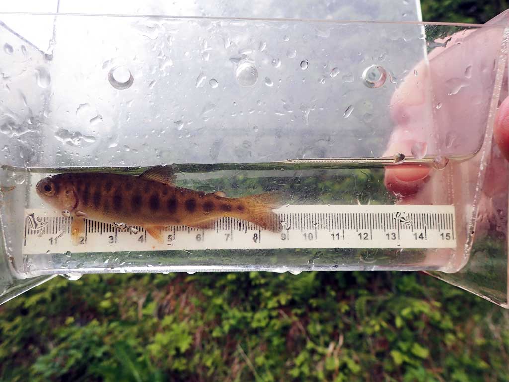
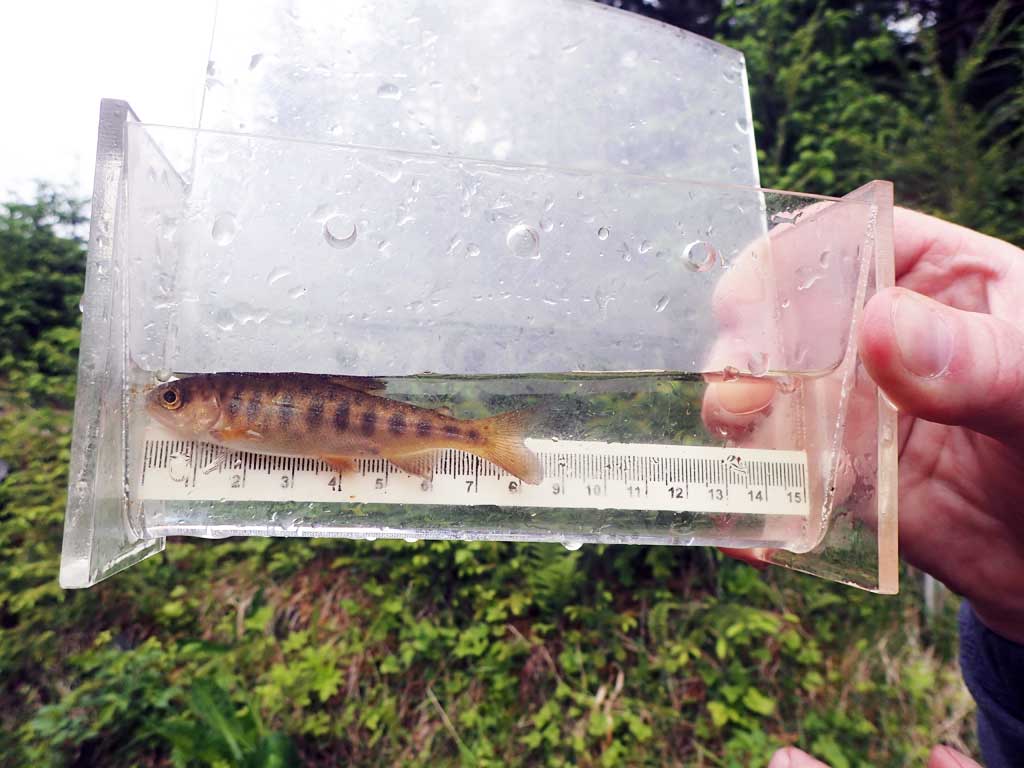
| Species: juvenile rainbow trout | Life History: | ||
| Total Fish Observed: 3 | Fish Measured: 3 | Fork Lengths (mm) Min: 78 Max: 88 Mean: 82 | |
| Collected/Observed by Gear Type: Upstream Minnow Trap (2) Upstream Minnow Trap (1) | |||
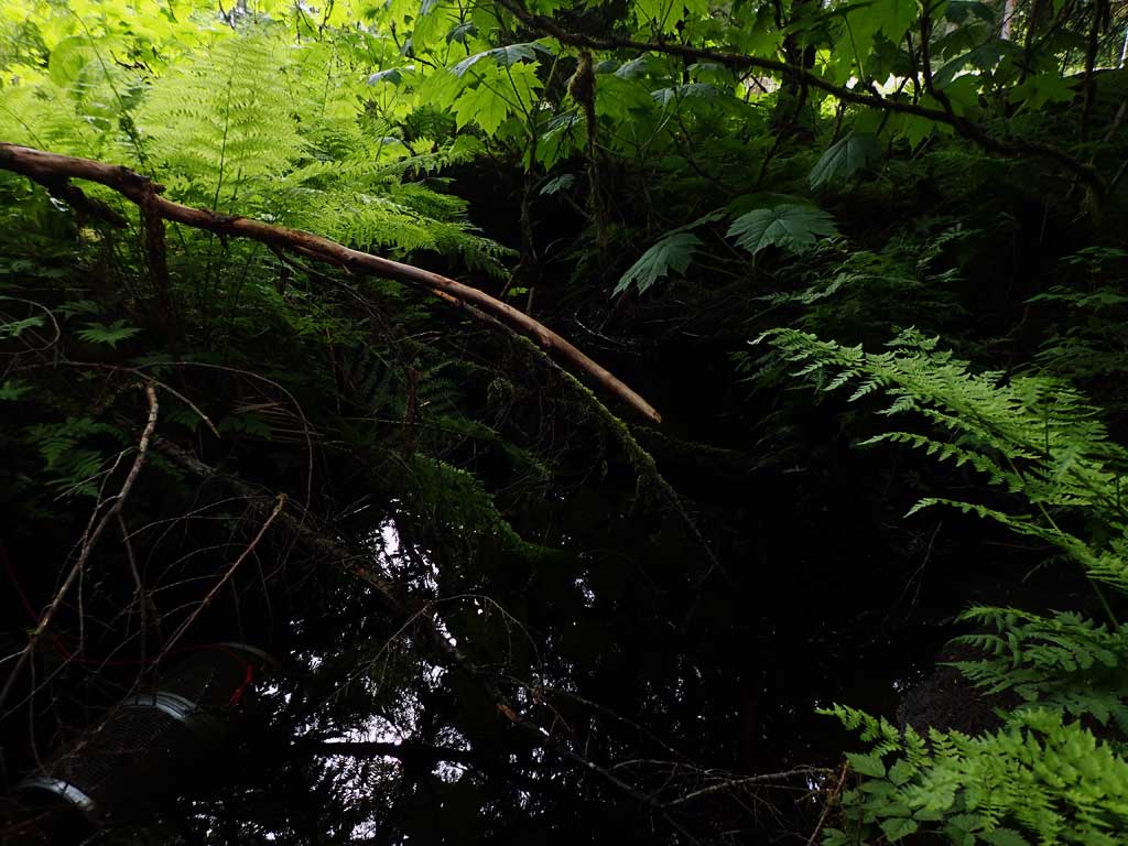
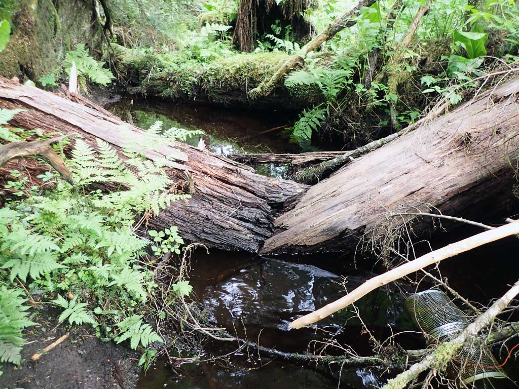
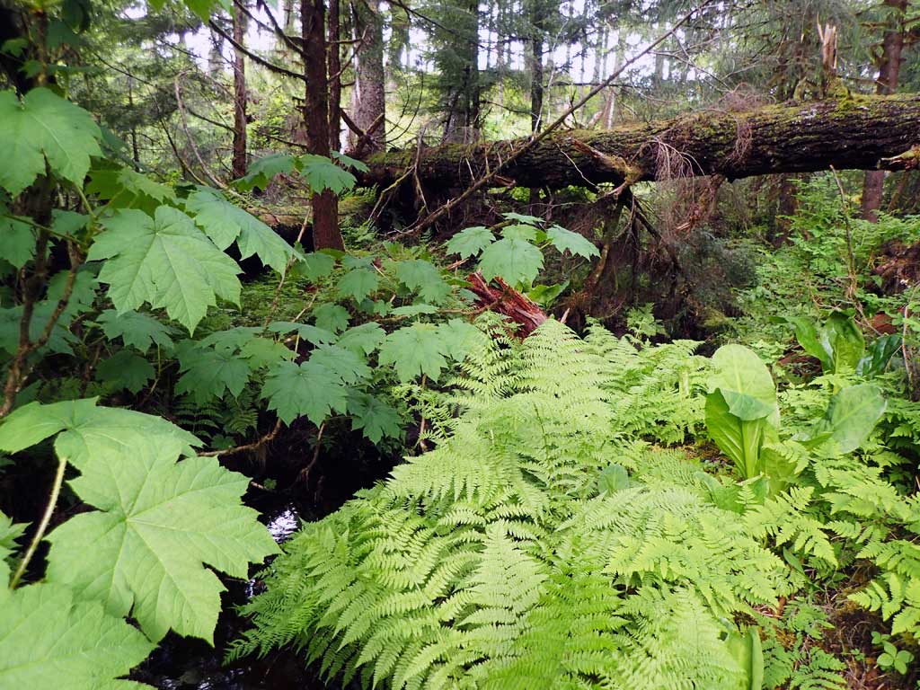
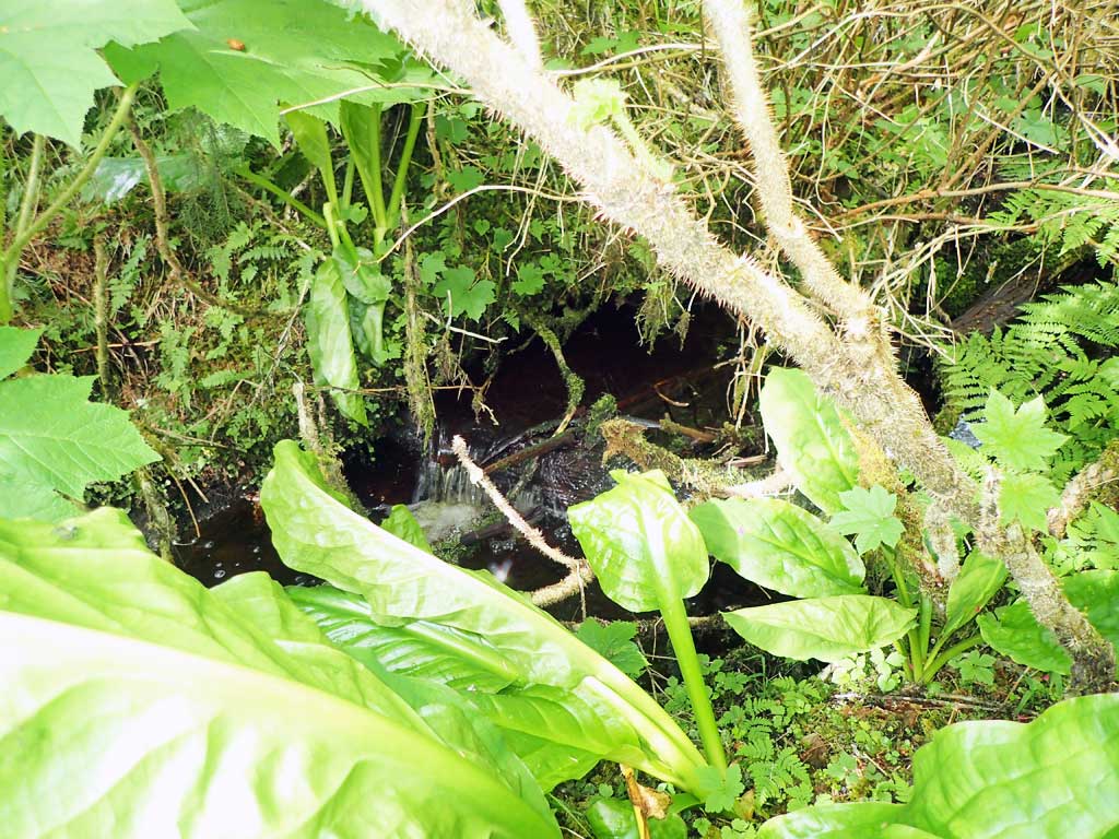
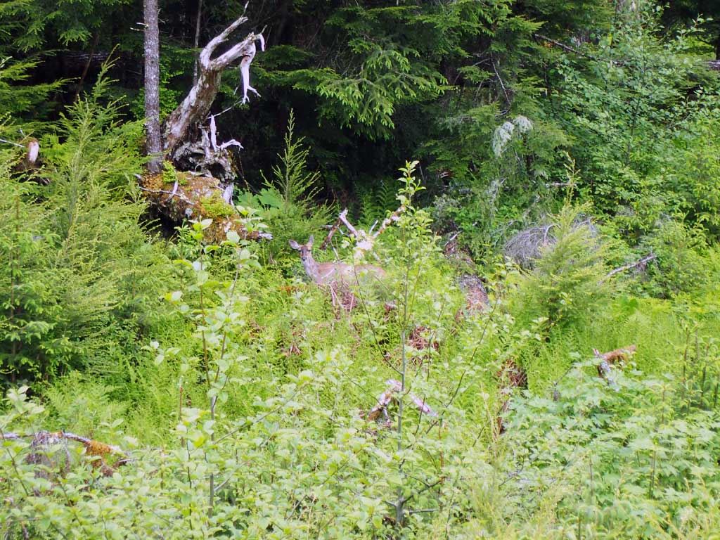
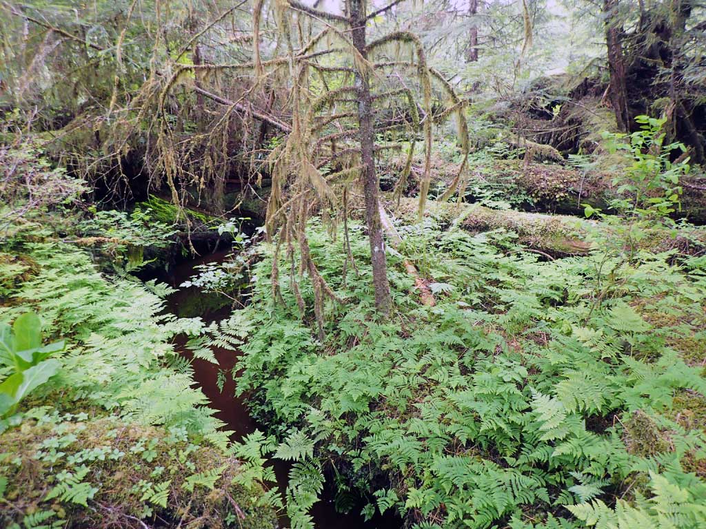
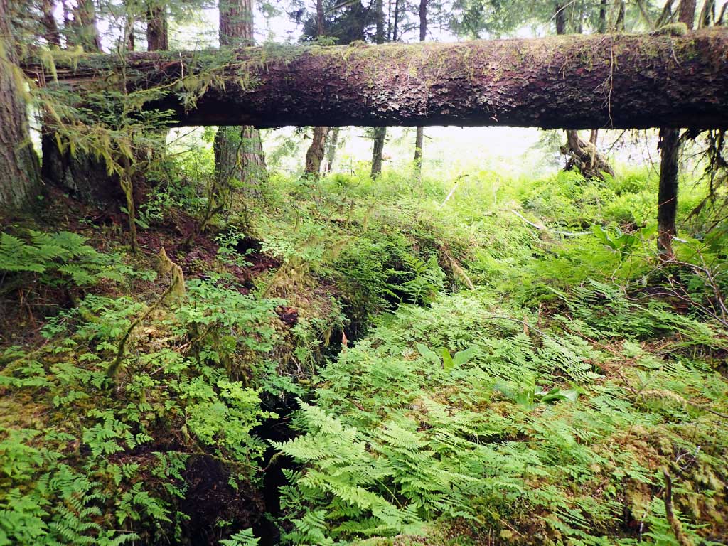
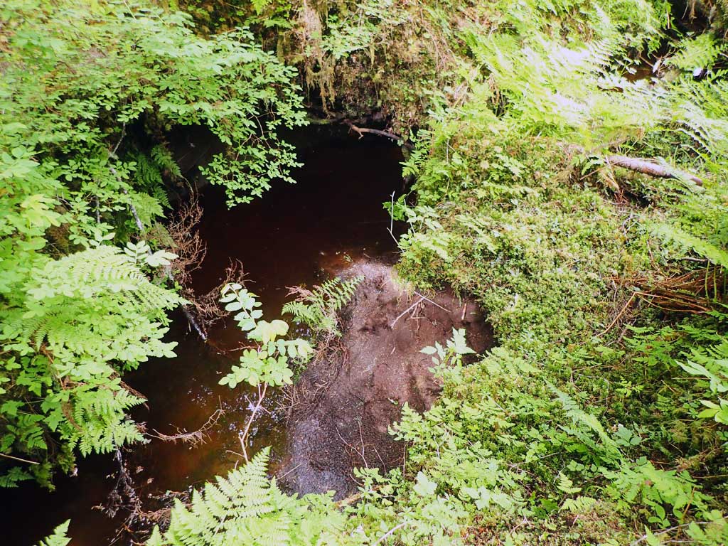
Photos
Questions or comments about this report can be directed to dfg.dsf.webmaster@alaska.gov