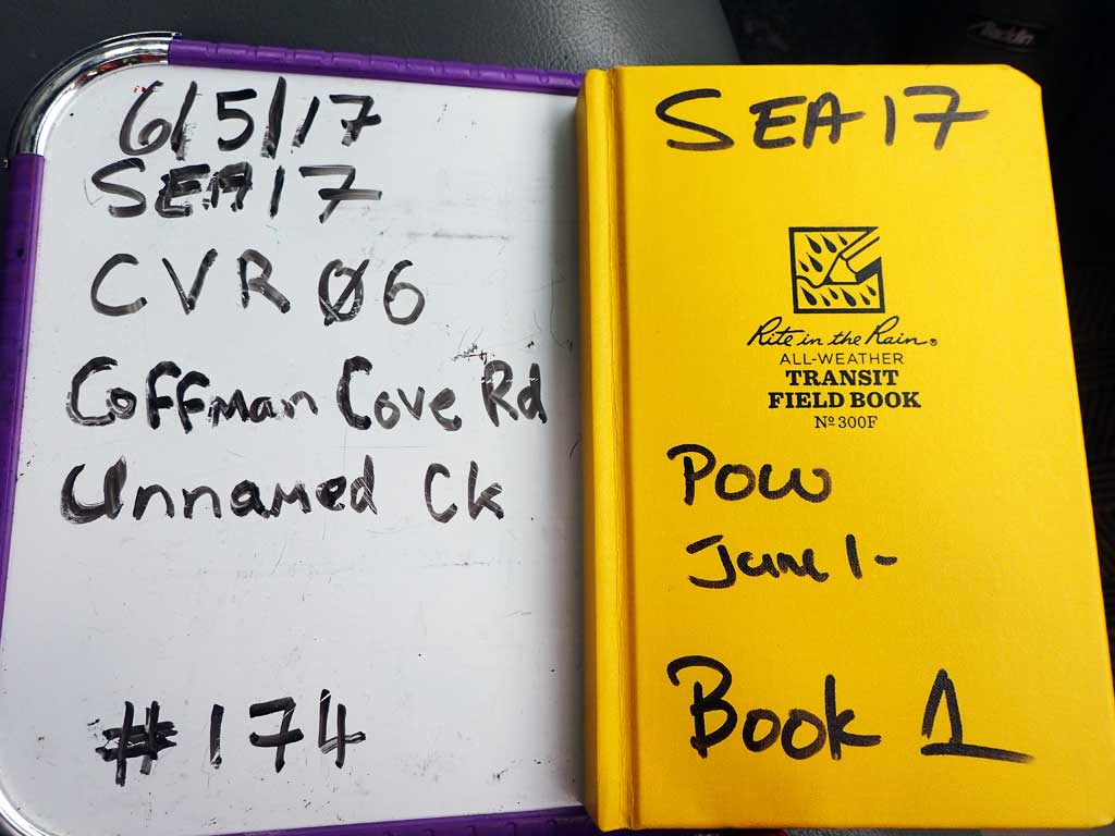
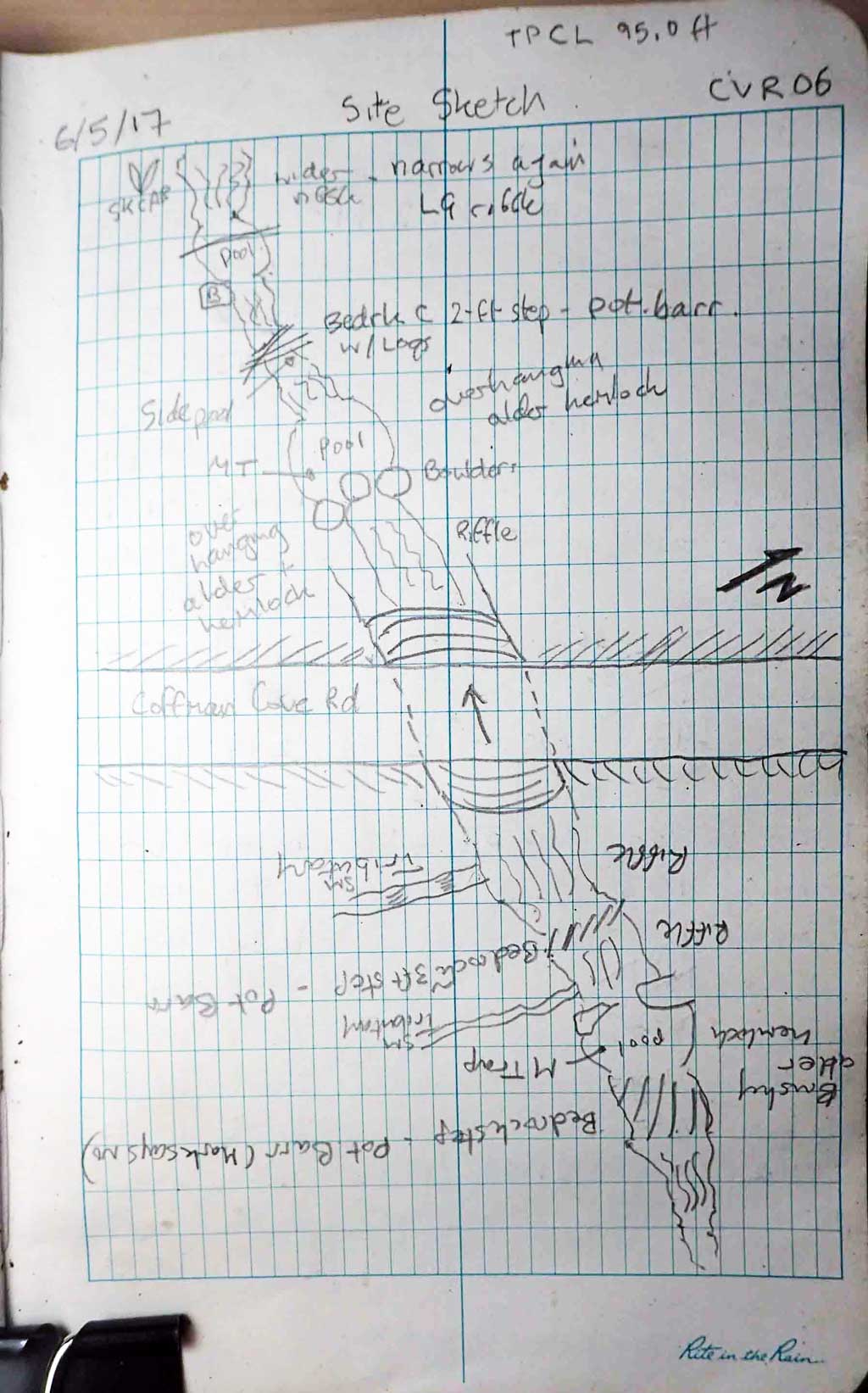
Fish Passage Site 10103555
Coordinates (dec. deg.): 55.91383°, -132.99431°
Legal Description: C069S081E04
Region: Southeast
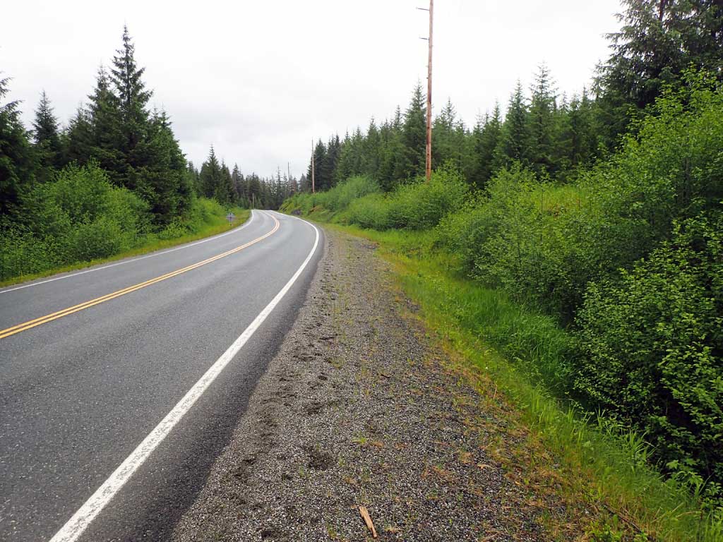
Road Name: Coffman Cove Road
Datum: NAD83
Quad Name / ITM: Craig D-3
AWC Stream #:
Stream Name: Unnamed
Elevation:
Site Comments: None
Survey SEA17-CVR06
Observers: Mark Eisenman, Elizabeth Flory, Kelly Petty
Overall Fish Passage Rating:
Tidal: No
Backwatered: No
Step Pools: No
Construction Year:
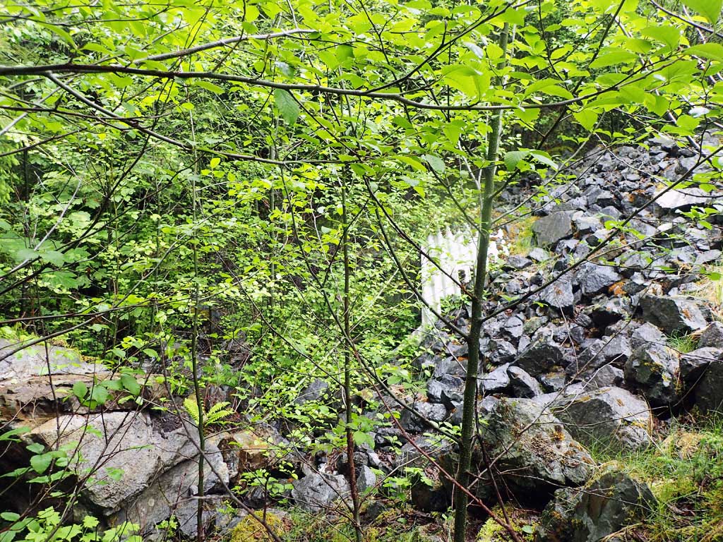
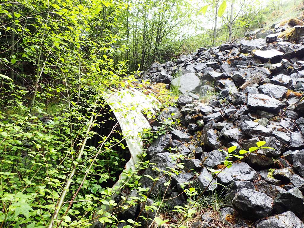
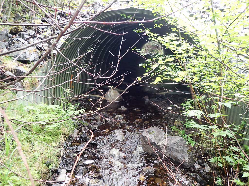
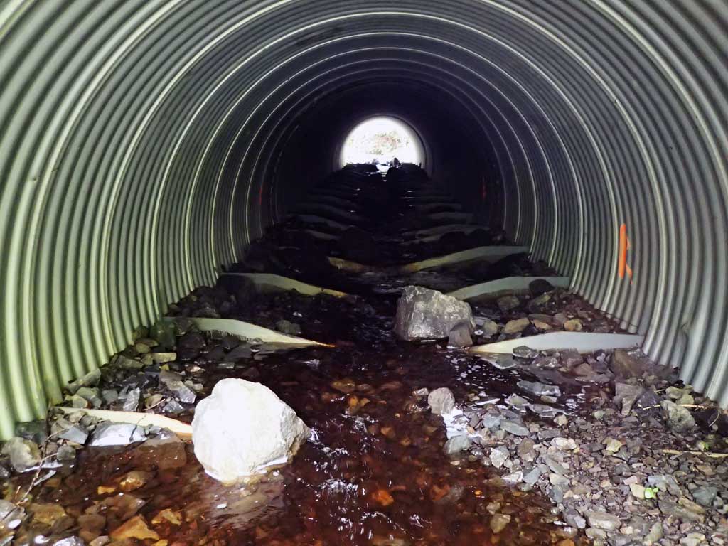
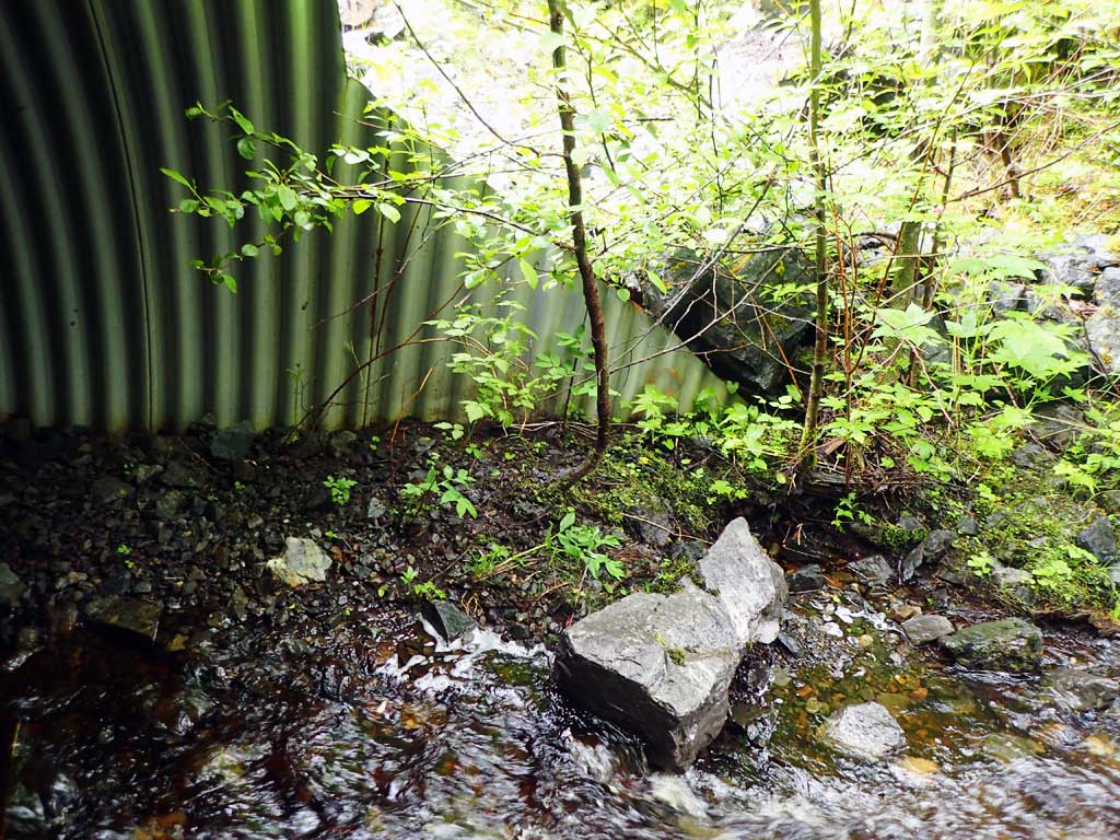
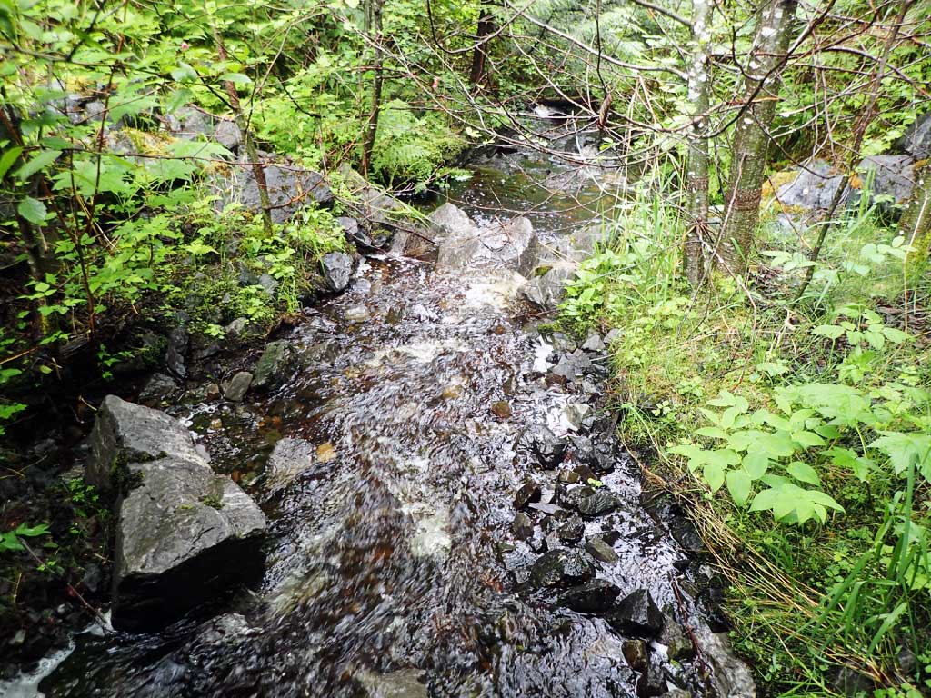
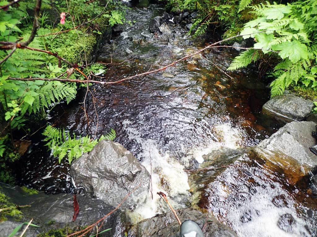
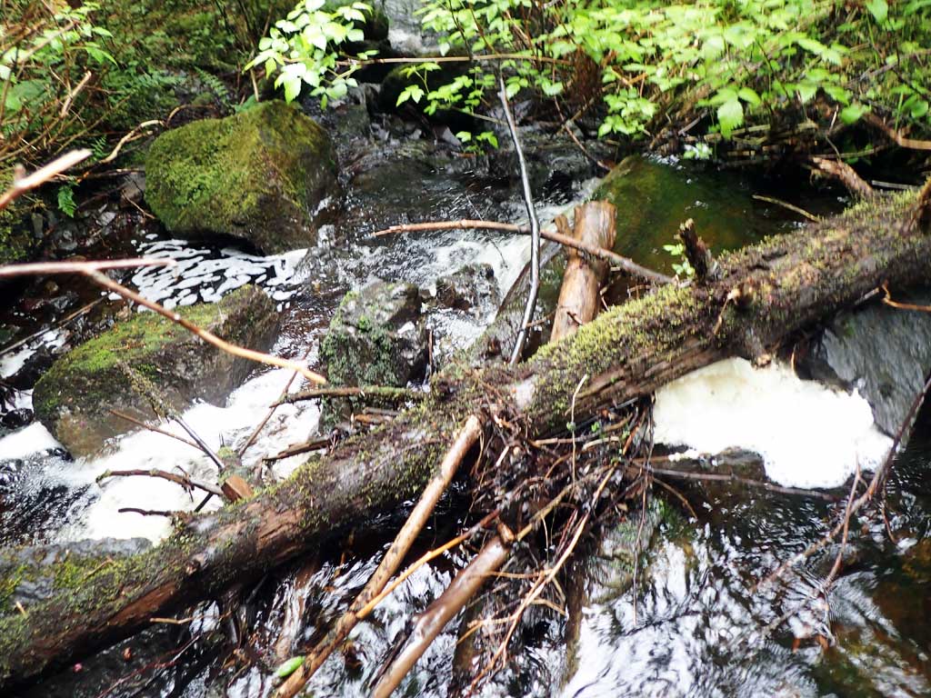
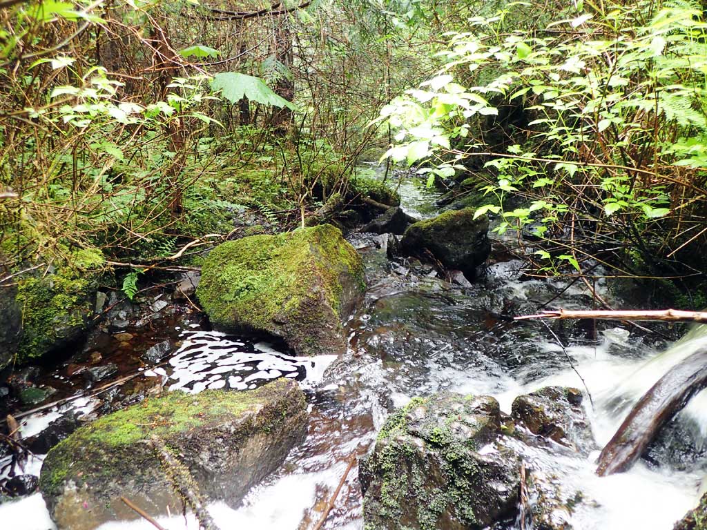
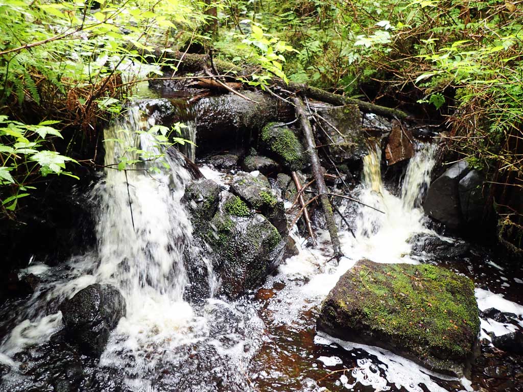
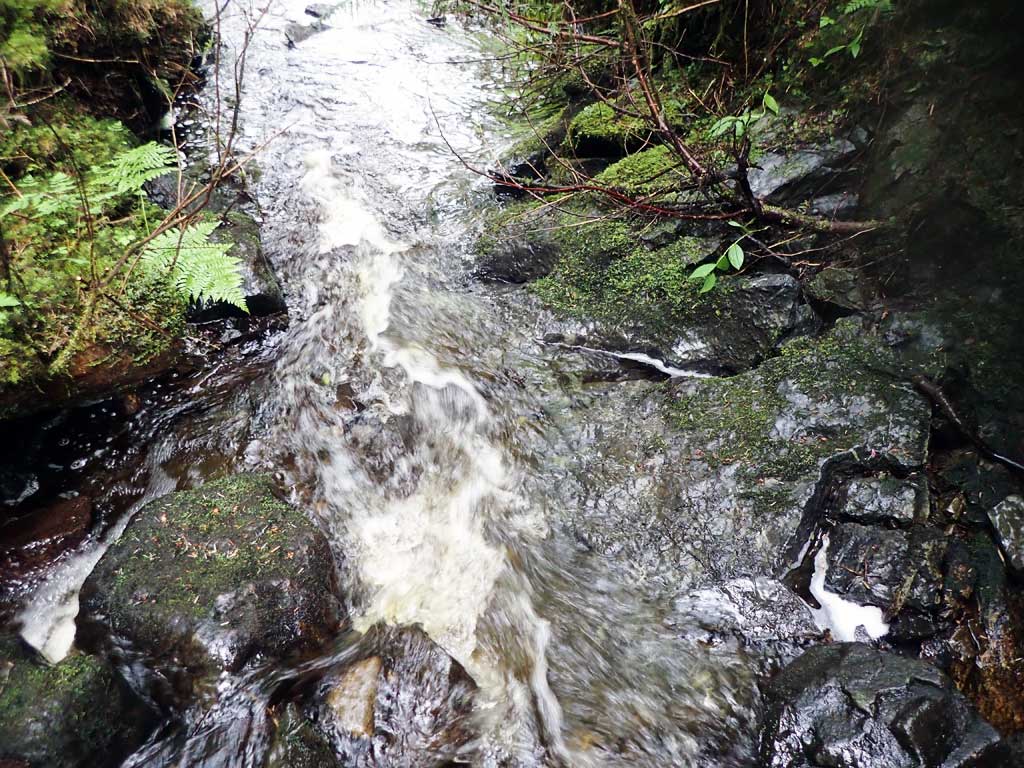
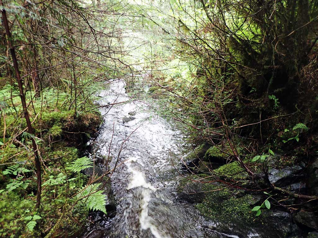
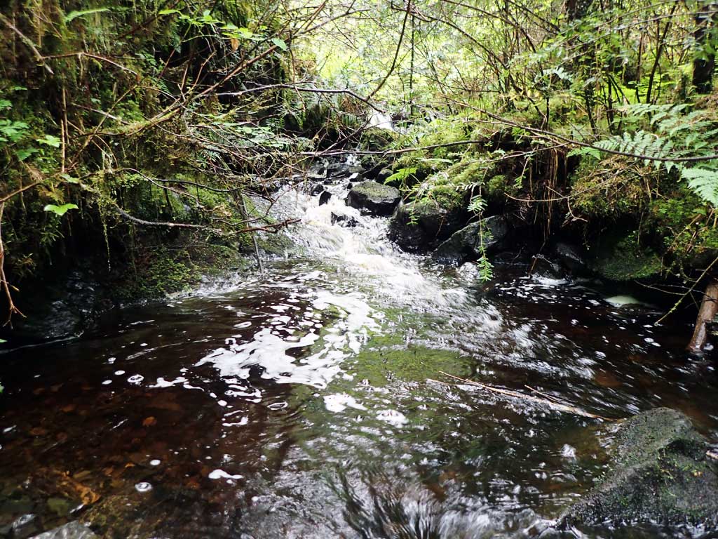
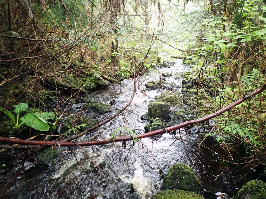
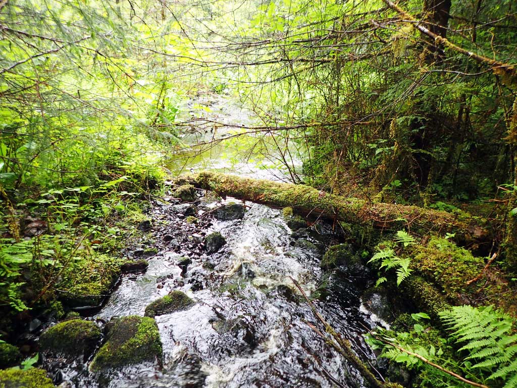
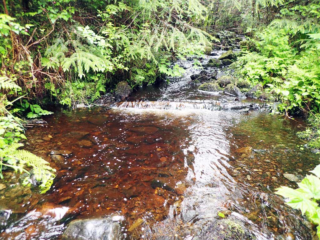
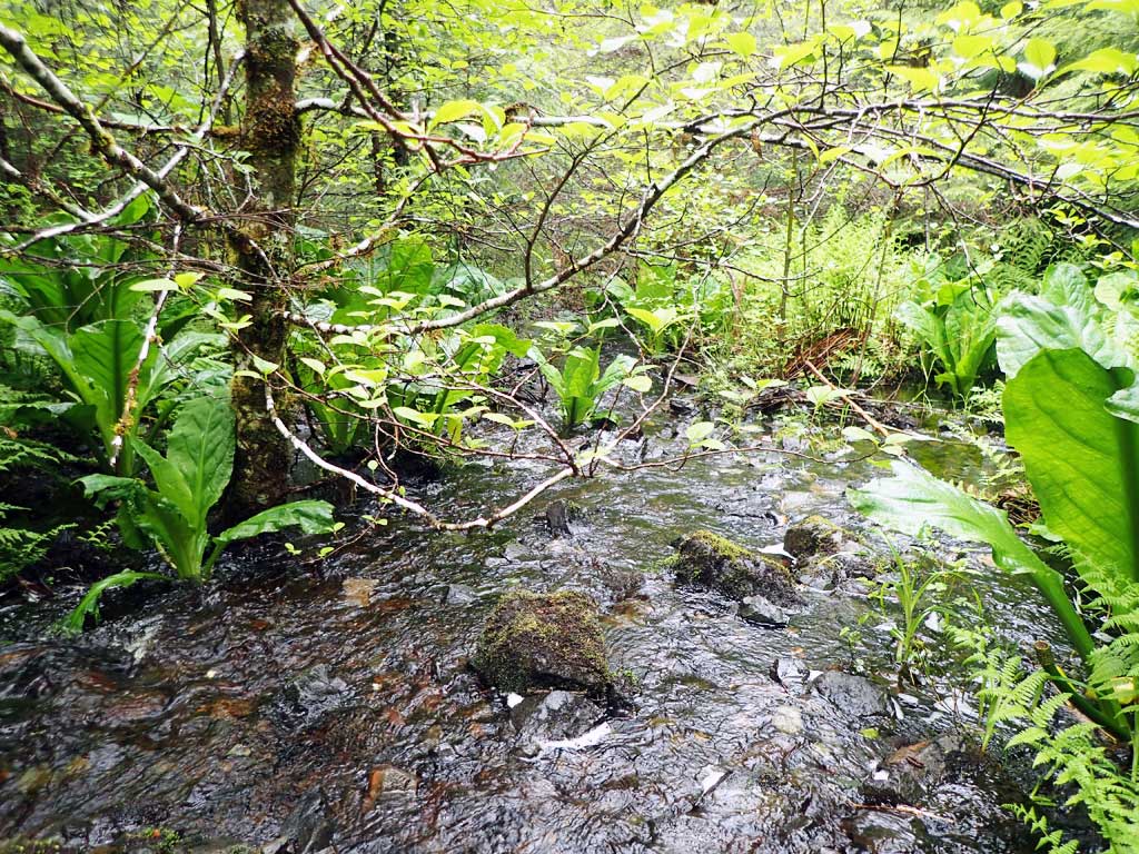
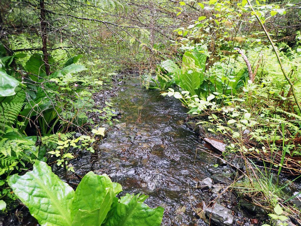
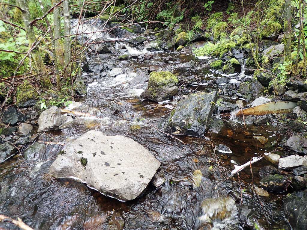
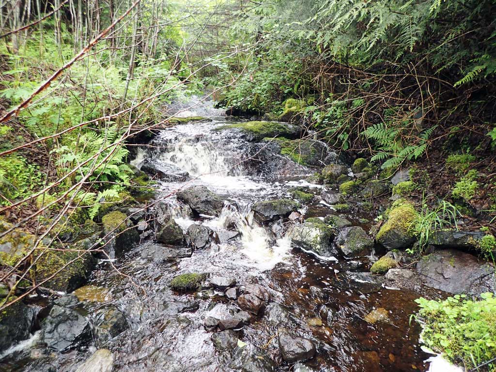
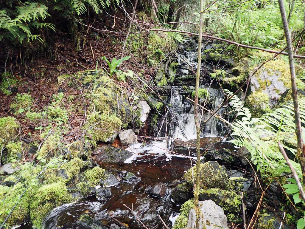
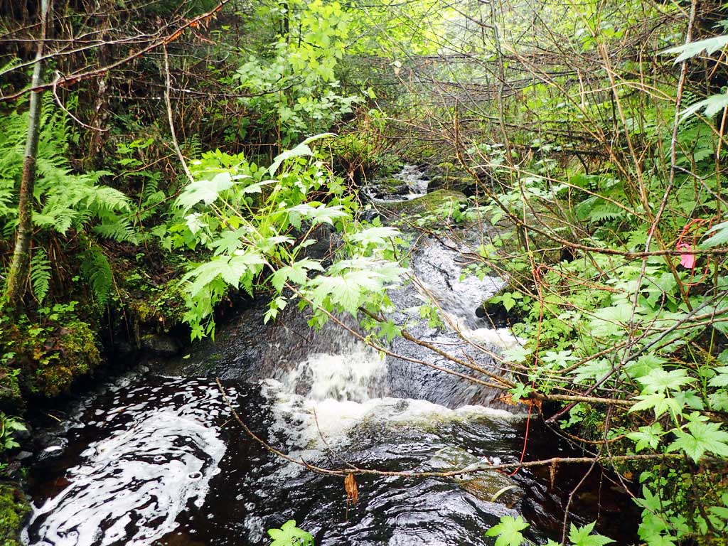
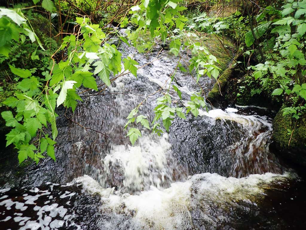
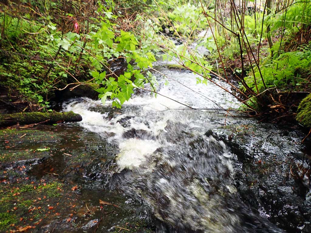
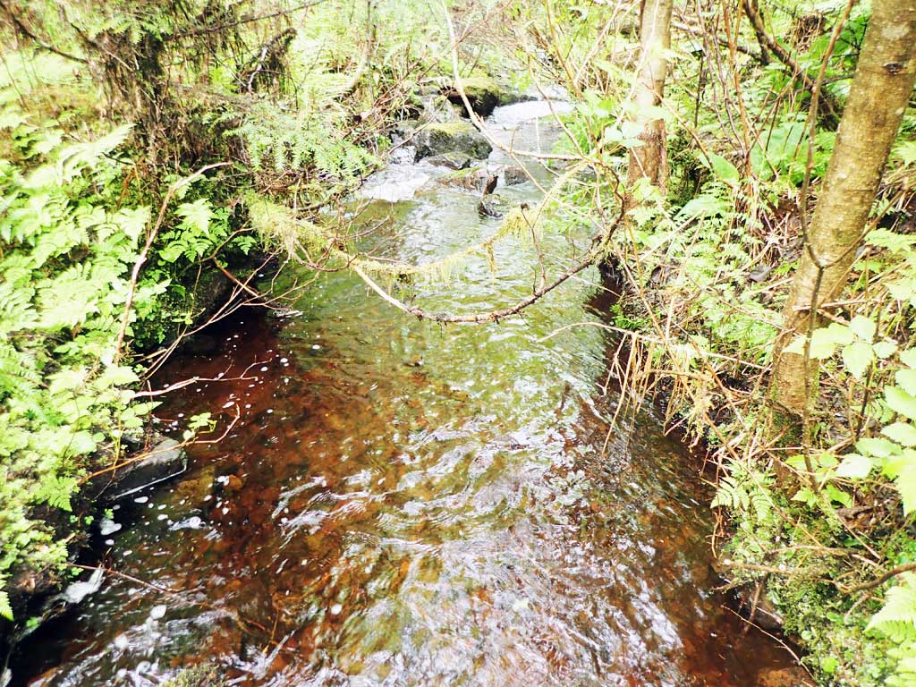
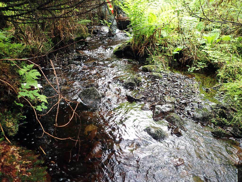
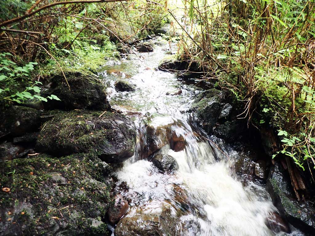
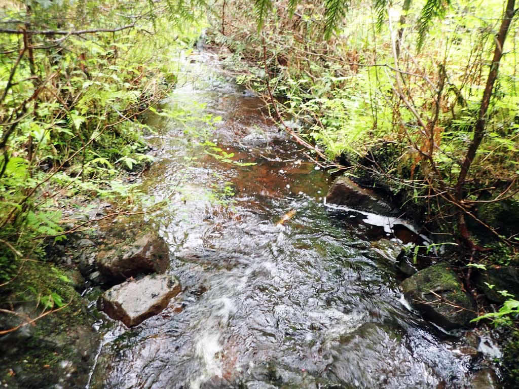
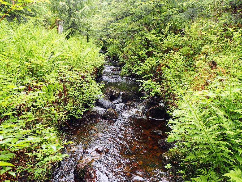
Comments: Bedrock control upstream and downstrream, large drops upstream and downstream, steep creek.
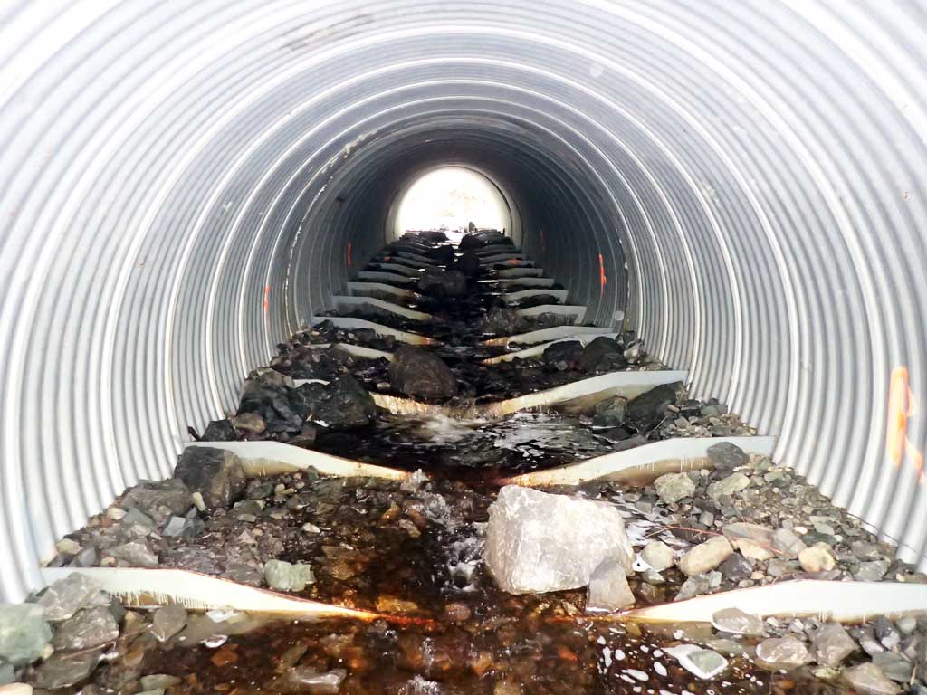
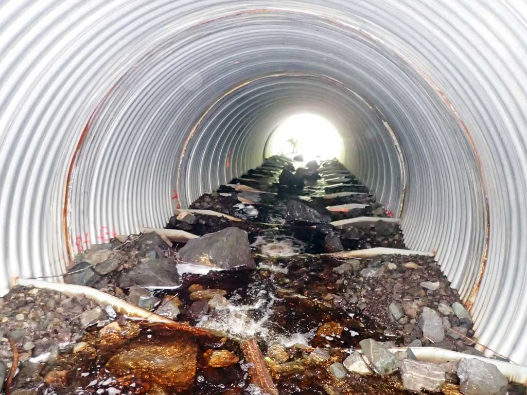
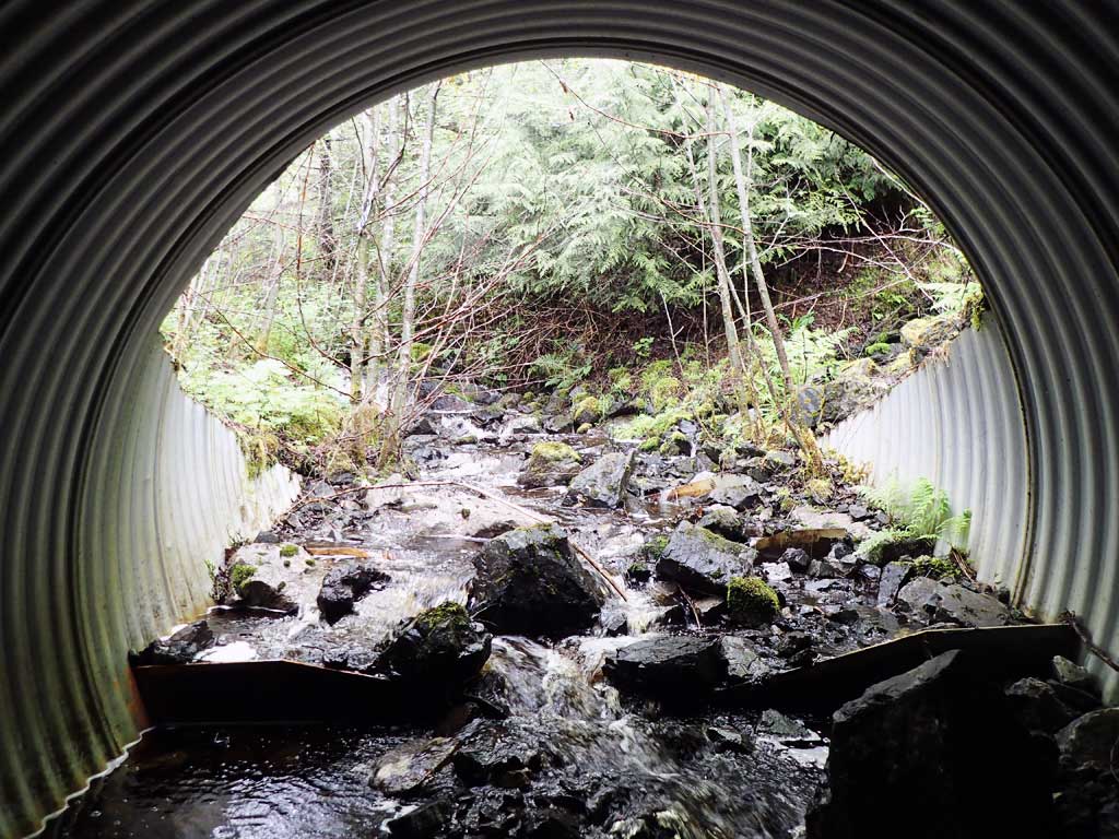
Culvert Measurements
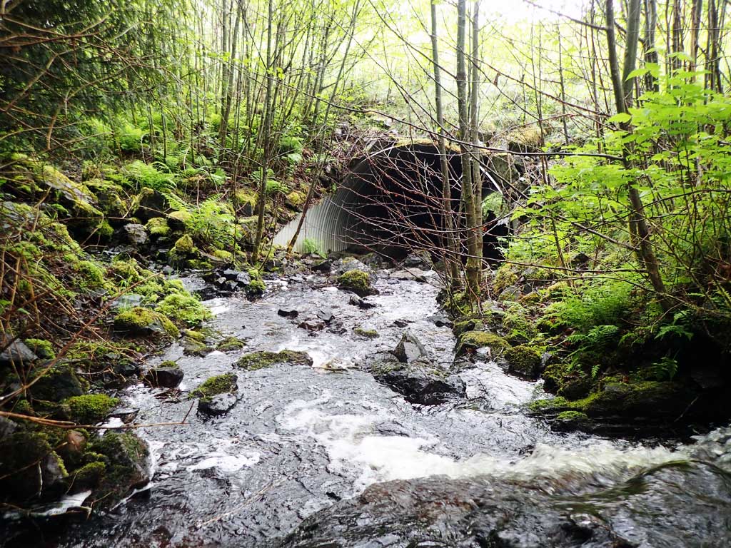
| ID: 1 | Structure Type: Circular pipe (Corrugated steel) | Fish Passage Rating: | ||||||||||||||||||||||||||||||||||||||||||
|
|
|
||||||||||||||||||||||||||||||||||||||||||
Comments: Top of mitre length given. Baffles holding sediment. No visible rustline. Top of culvert length 95'. Culvert set to almost within 1% slope exactly. |
||||||||||||||||||||||||||||||||||||||||||||
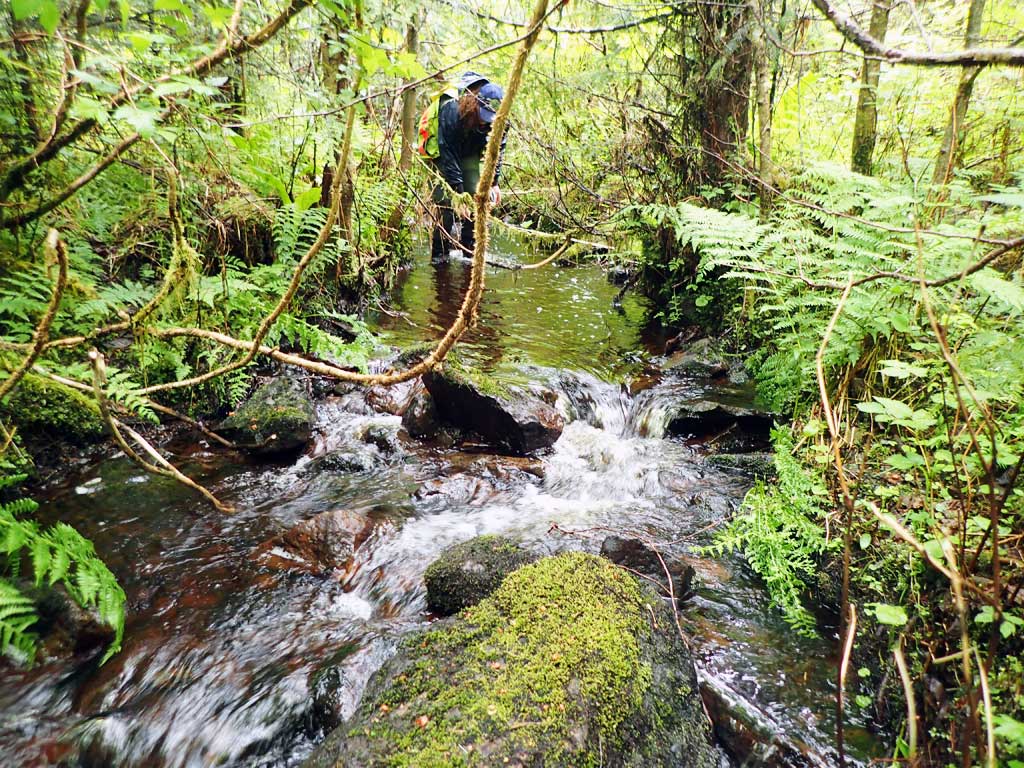
Stream Measurements
|
|
| Stream Width Type | Distance From Crossing (ft) |
Stream Width (ft) |
|---|---|---|
| Downstream ordinary high water | 100.0 | 9.70 |
| Downstream ordinary high water | 175.0 | 10.50 |
| Downstream ordinary high water | 200.0 | 5.20 |
| Upstream ordinary high water | 75.0 | 4.79 |
| Upstream ordinary high water | 100.0 | 5.00 |
| Upstream ordinary high water | 150.0 | 5.00 |
Elevations
| Locator ID | Culvert Number |
River Distance (ft)1 |
Distance From Crossing (ft)2 |
Relative Elevation (ft) |
|---|---|---|---|---|
| Road Elev | 119.96 | |||
| D/S Grade Ctrl (Thalweg) (below bedrock/log cascade) | 0.00 | 86.08 | ||
| D/S Water Surface Elev | 0.00 | 87.21 | ||
| D/S Grade Ctrl (Thalweg) (top of cascade) | 7.00 | 89.57 | ||
| D/S Water Surface Elev | 7.00 | 90.07 | ||
| D/S Grade Ctrl (Thalweg) (poll/riffle break) | 25.00 | 91.01 | ||
| D/S Water Surface Elev | 25.00 | 91.29 | ||
| D/S Water Surface Elev | 28.50 | 91.30 | ||
| Max Pool Depth | 28.50 | 89.84 | ||
| Outlet Invert (estimated end of mitre) | 36.00 | 92.40 | ||
| D/S Water Surface Elev | 36.00 | 92.75 | ||
| Outlet Culvert Top | 47.00 | 100.00 | ||
| Inlet Culvert Top | 142.00 | 108.57 | ||
| Inlet Culvert Invert | 153.00 | 101.44 | ||
| U/S Water Surface Elev | 153.00 | 102.01 | ||
| U/S Grade Ctrl (Thalweg) (first bedrock step) | 175.00 | 105.39 | ||
| U/S Water Surface Elev | 175.00 | 105.57 | ||
| U/S Grade Ctrl (Thalweg) (top of glide) | 240.00 | 110.48 | ||
| U/S Water Surface Elev | 240.00 | 110.77 |
Notes:
- River distance is measured continuously throughout the survey reach along the thalweg of the stream.
- Measured from each end of the crossing along the thalweg of the stream.
Fish Sampling Efforts
| Gear Type: Minnow Trap (A) | Trap Duration(h): 4.75 | |
| Comments: dolly captured, 30ft upstream | ||
| Gear Type: Minnow Trap (B) | Trap Duration(h): 4.75 | |
| Comments: dollys and cutthroat, 20ft doownstream | ||
Fish Observations
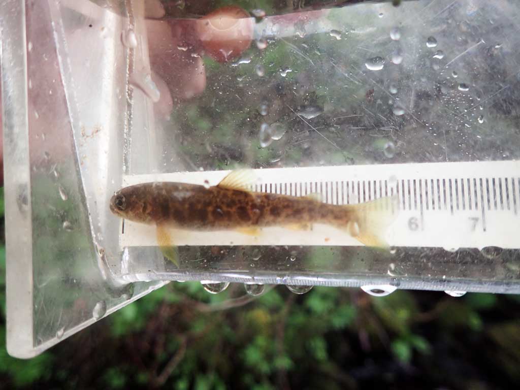
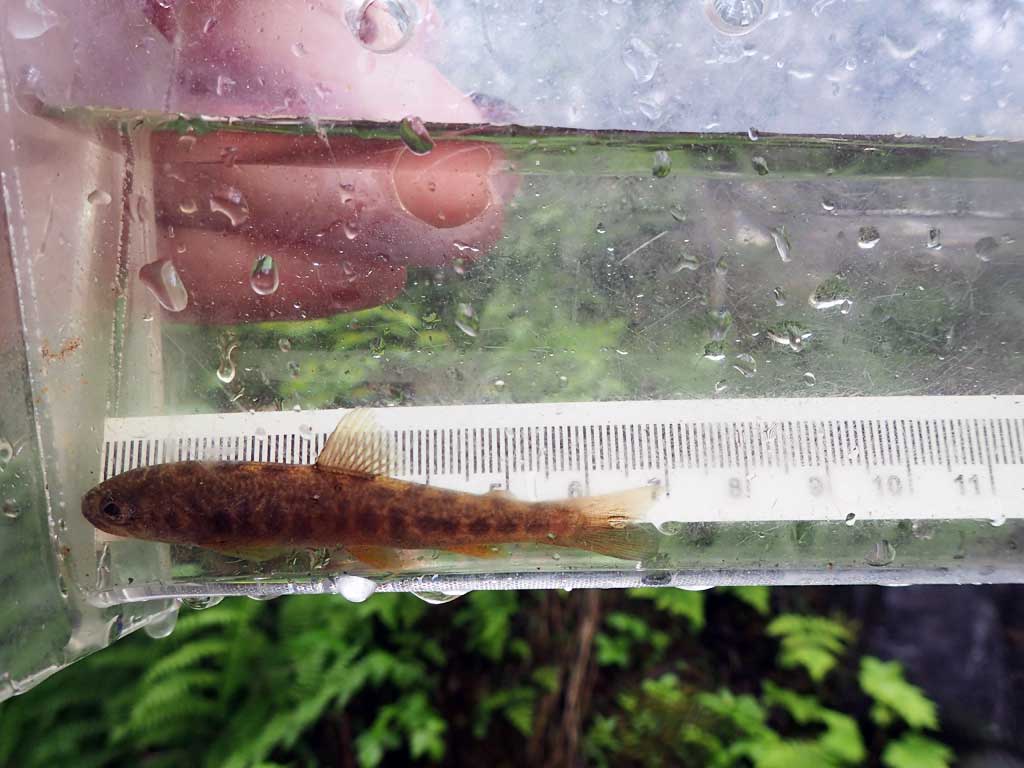
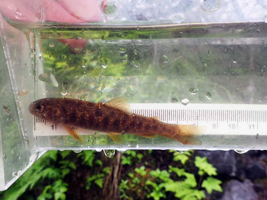
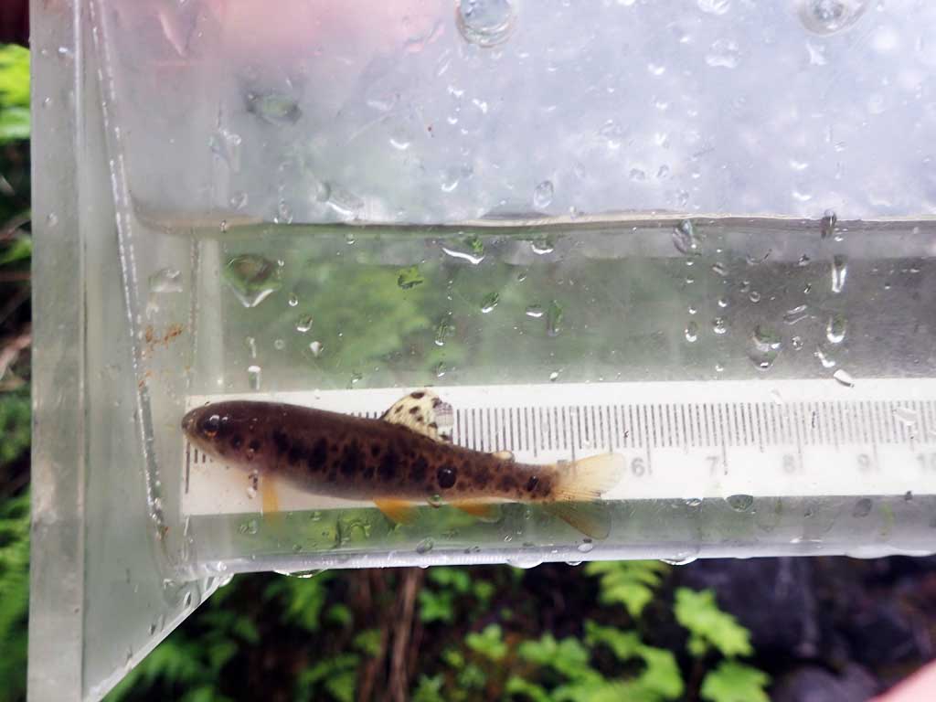
| Species: juvenile Dolly Varden | Life History: | ||
| Total Fish Observed: 3 | Fish Measured: 3 | Fork Lengths (mm) Min: 55 Max: 78 Mean: 66 | |
| Collected/Observed by Gear Type: Downstream Minnow Trap (2) Upstream Minnow Trap (1) | |||
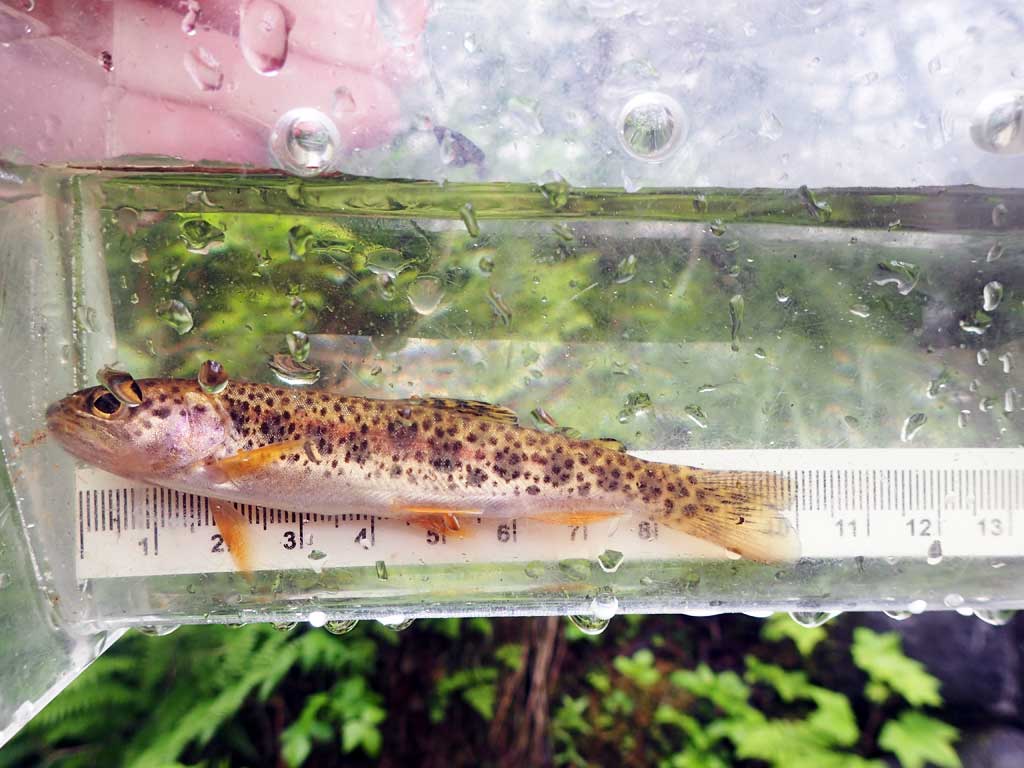
| Species: juvenile cutthroat trout | Life History: | ||
| Total Fish Observed: 2 | Fish Measured: 2 | Fork Lengths (mm) Min: 52 Max: 96 Mean: 74 | |
| Collected/Observed by Gear Type: Downstream Minnow Trap (2) | |||
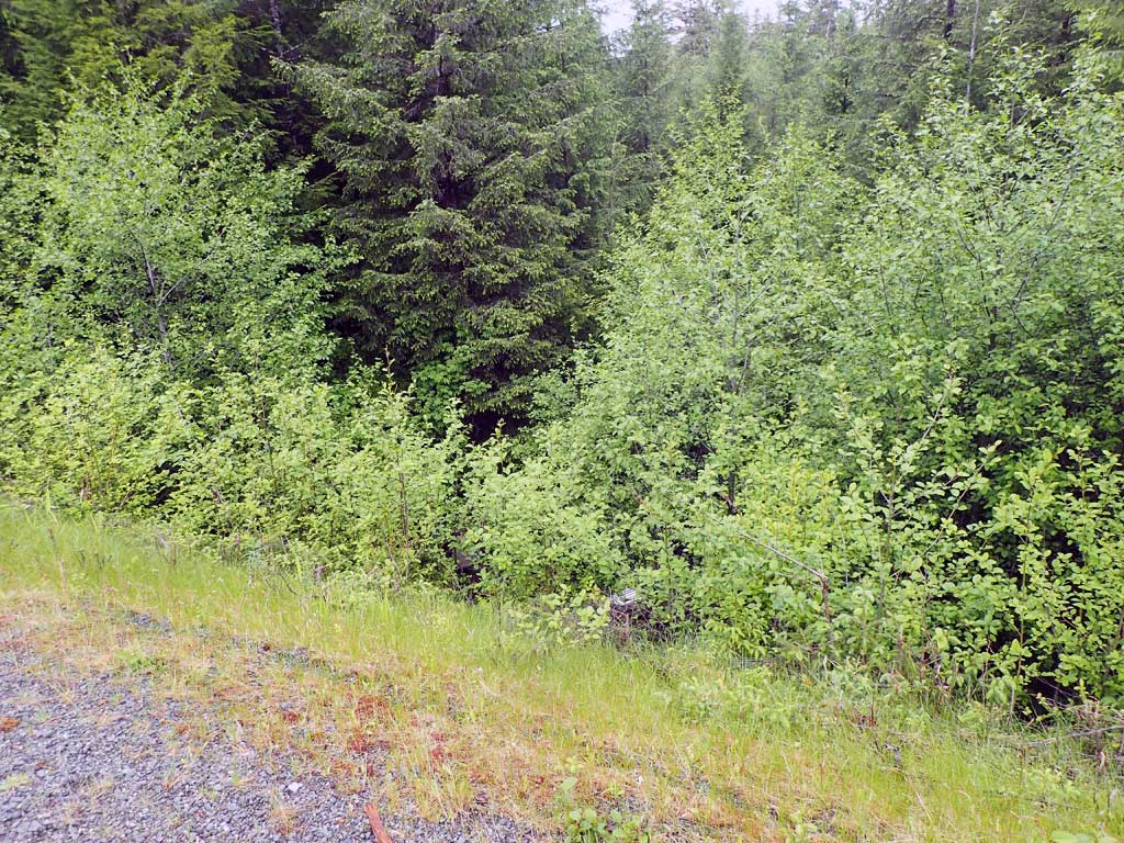
Photos

Questions or comments about this report can be directed to dfg.dsf.webmaster@alaska.gov