Fish Passage Site 10103554
Coordinates (dec. deg.): 55.87938°, -133.02913°
Legal Description: C069S081E20
Region: Southeast
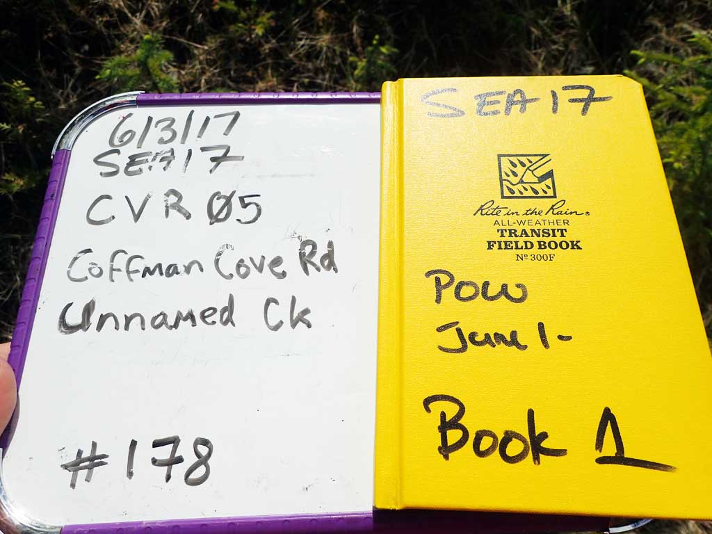
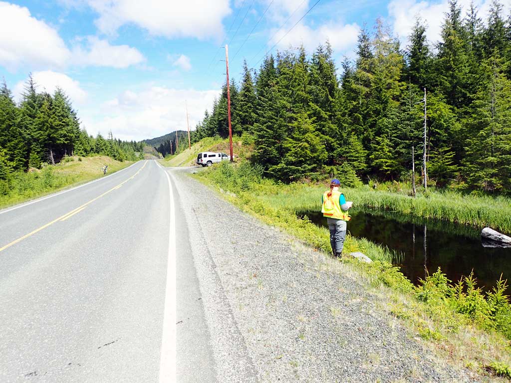
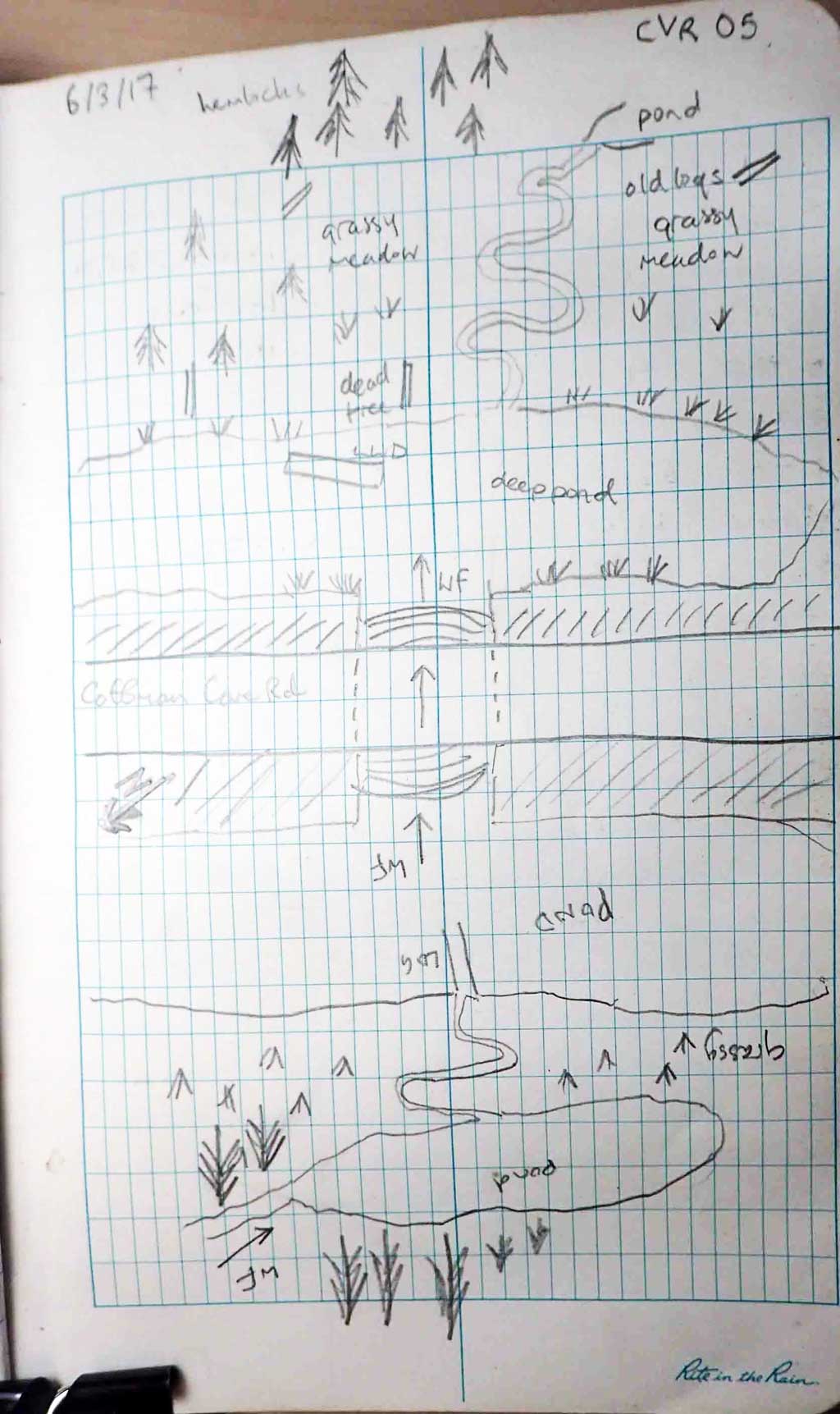
Road Name: Coffman Cove Road
Datum: NAD83
Quad Name / ITM: Craig D-4
AWC Stream #:
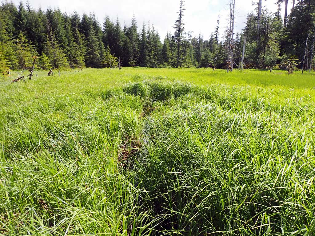
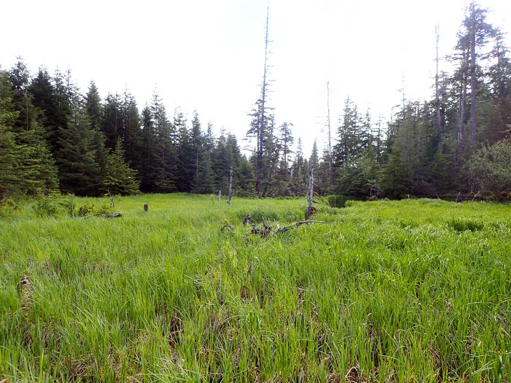
Stream Name: Unnamed
Elevation:
Site Comments: None
Survey SEA17-CVR05
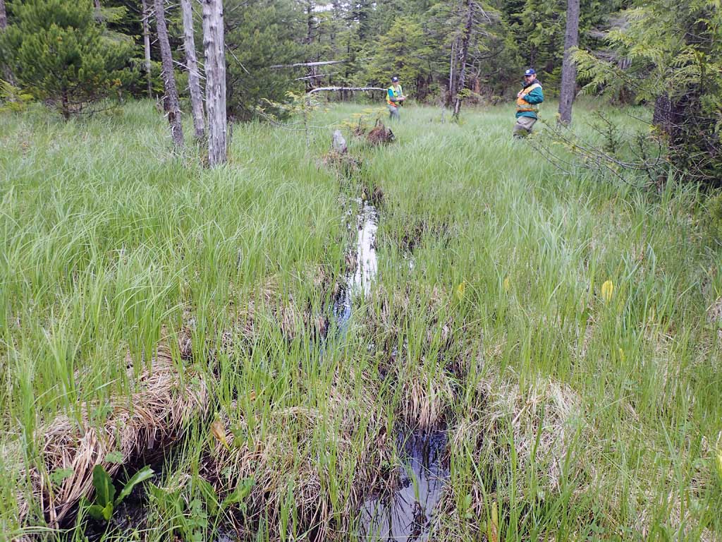
Observers: Mark Eisenman, Elizabeth Flory, Kelly Petty
Overall Fish Passage Rating:
Tidal: No
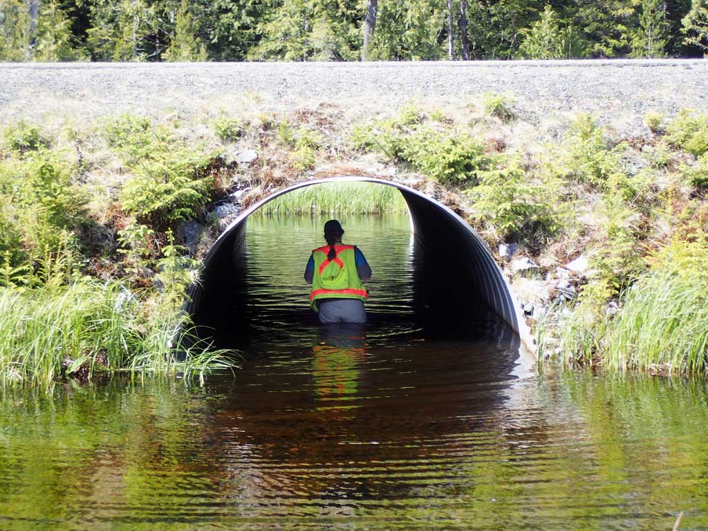
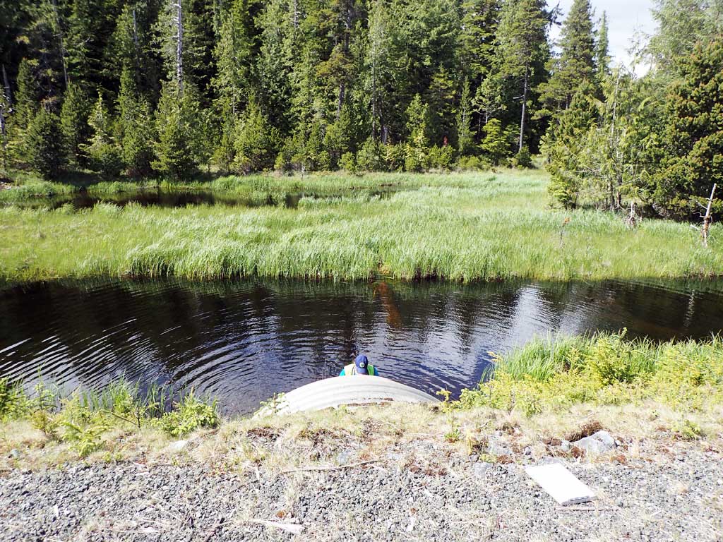
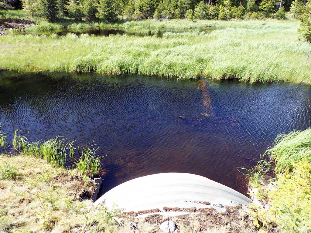
Backwatered: Yes
Step Pools: No
Construction Year:
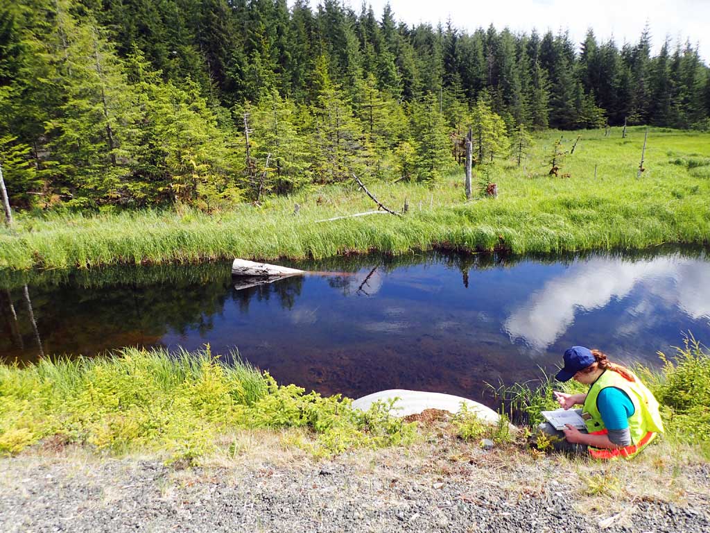
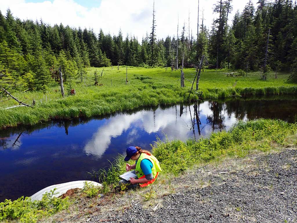
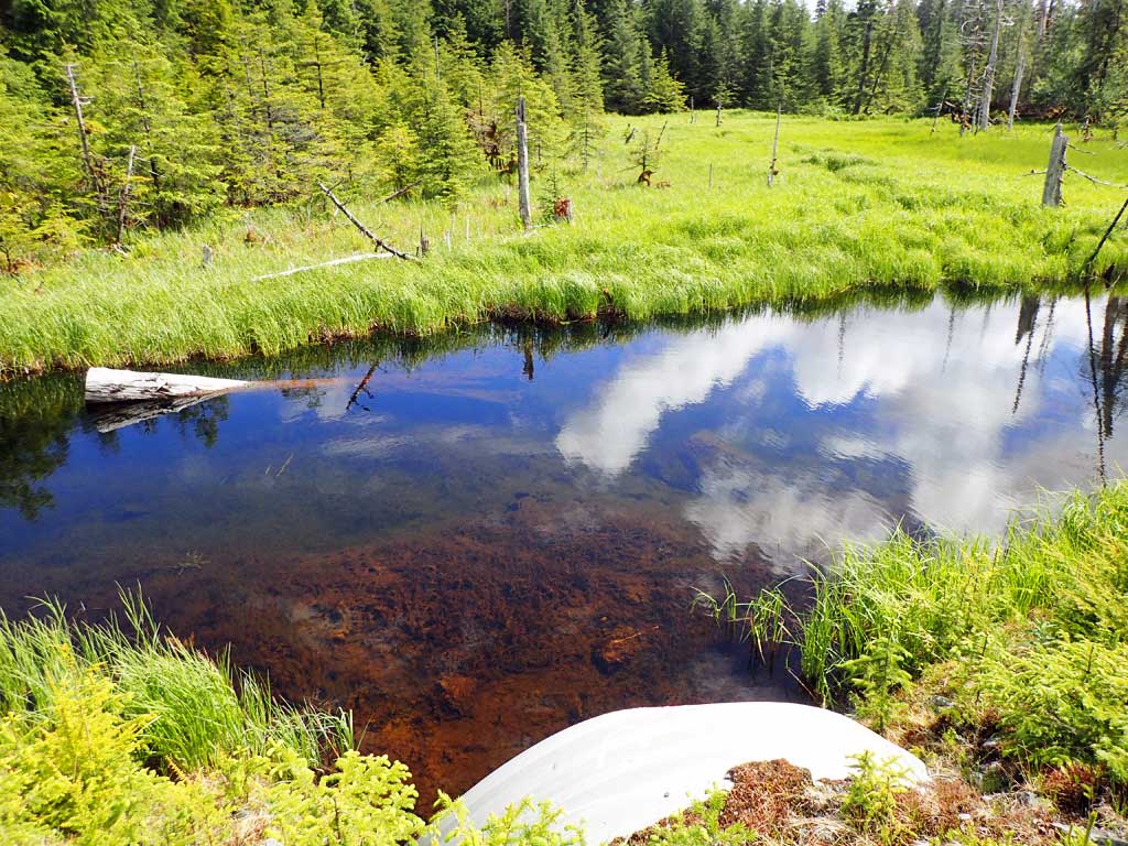
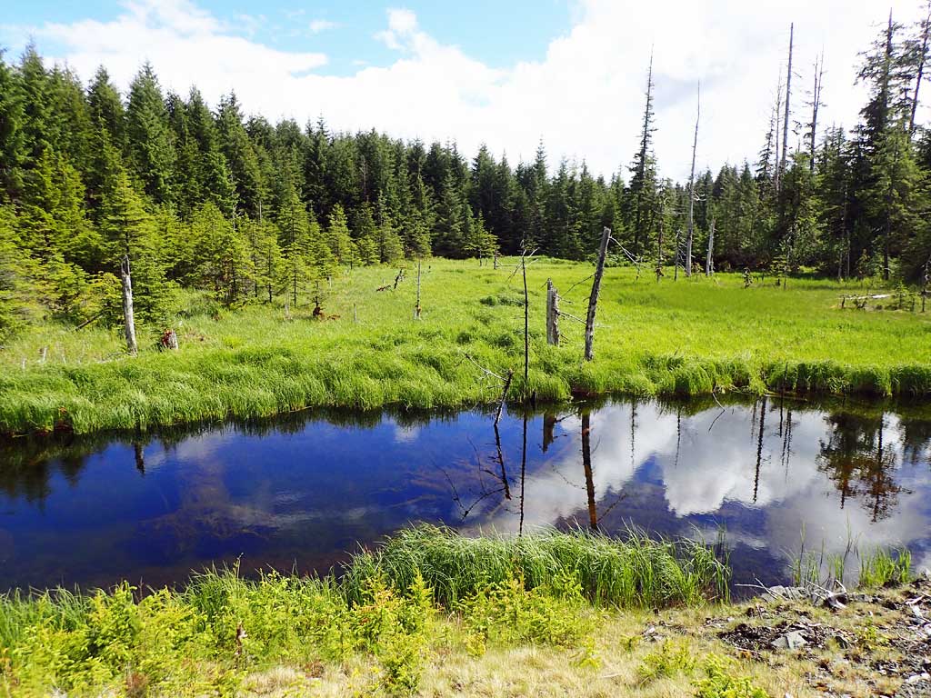
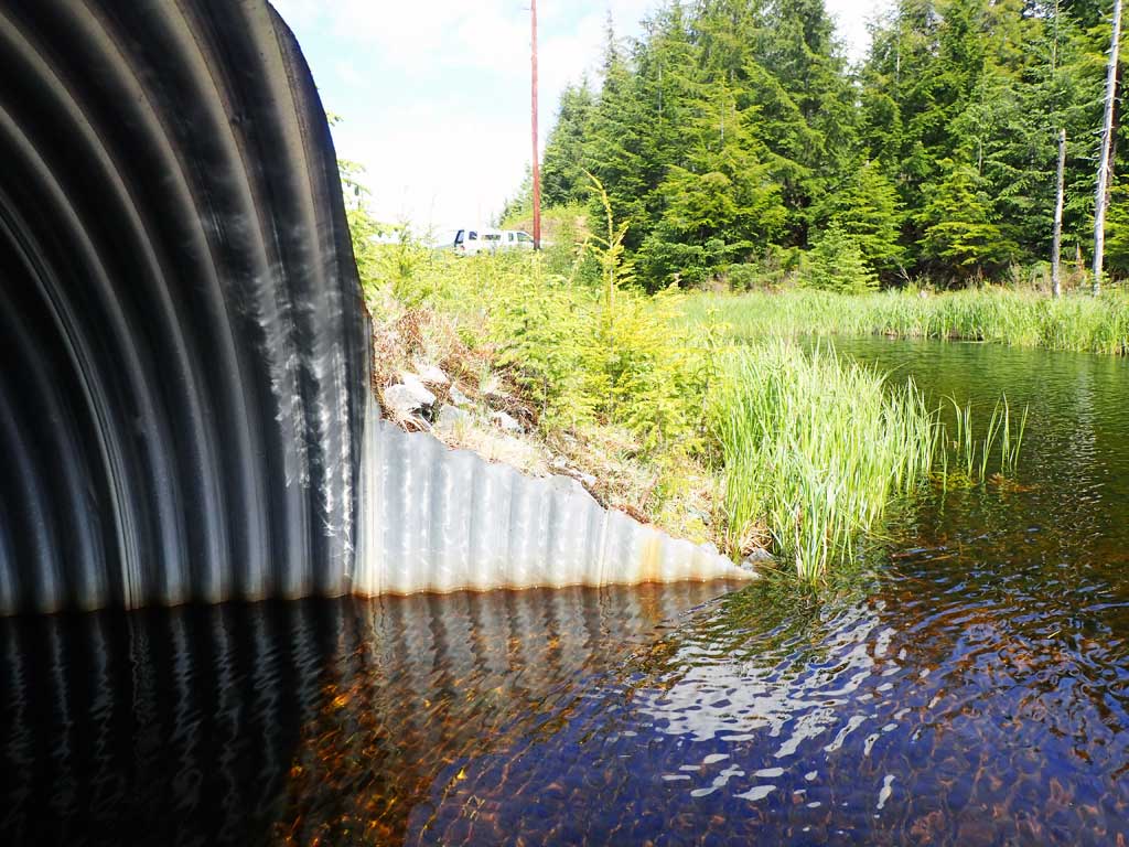
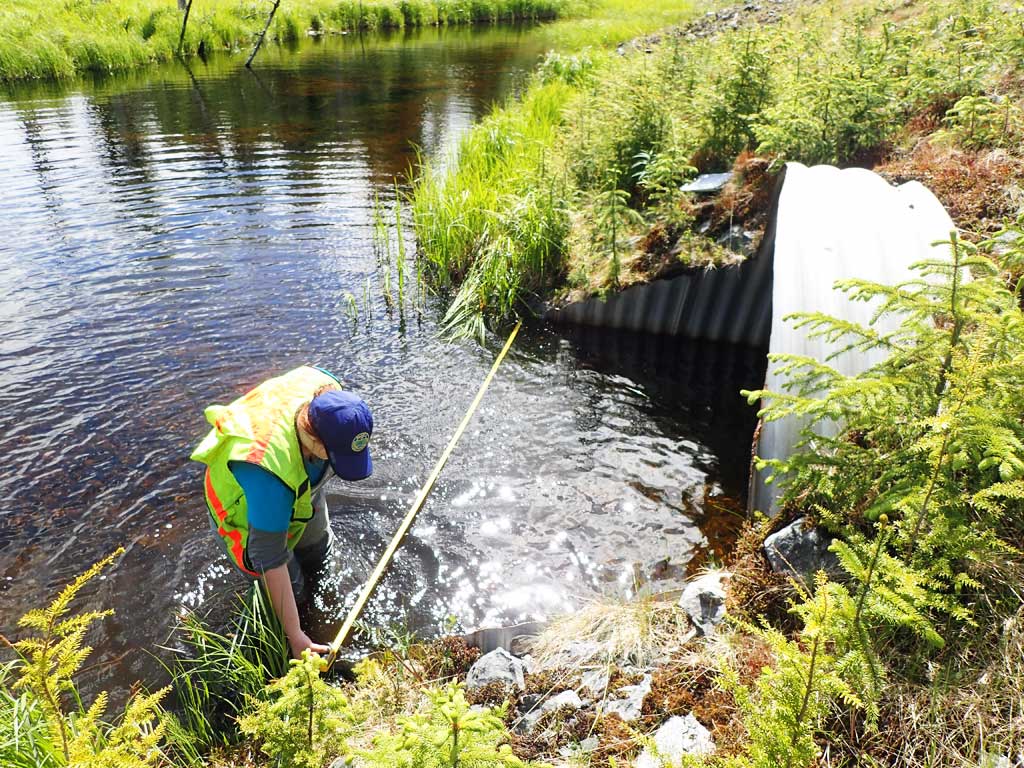
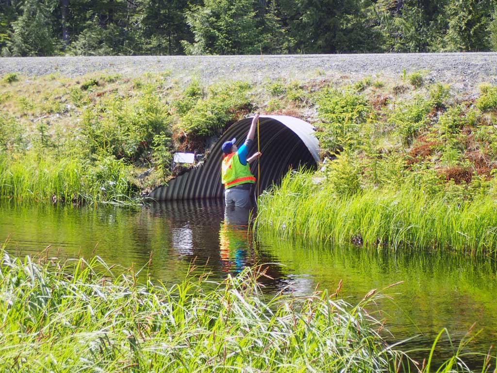
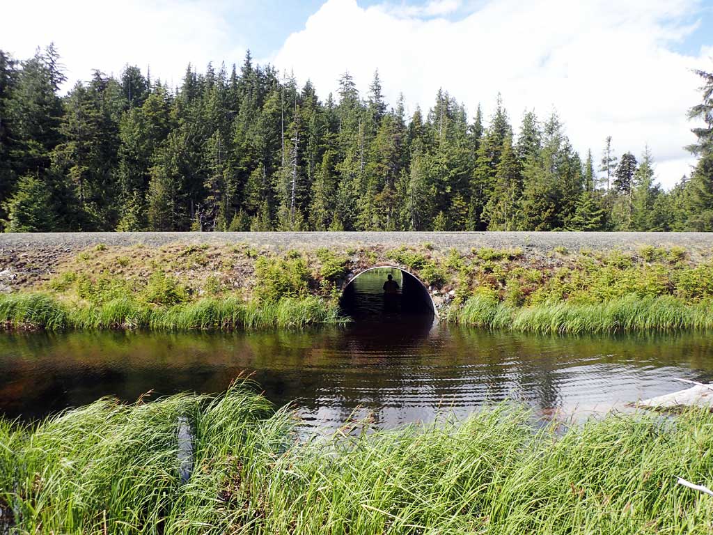
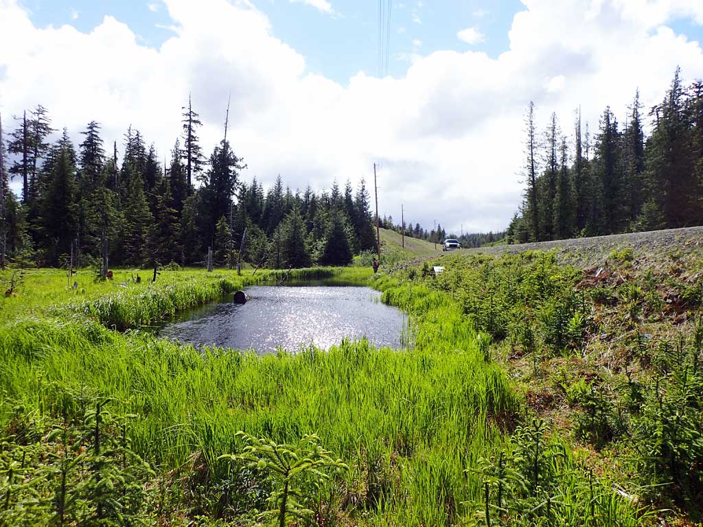
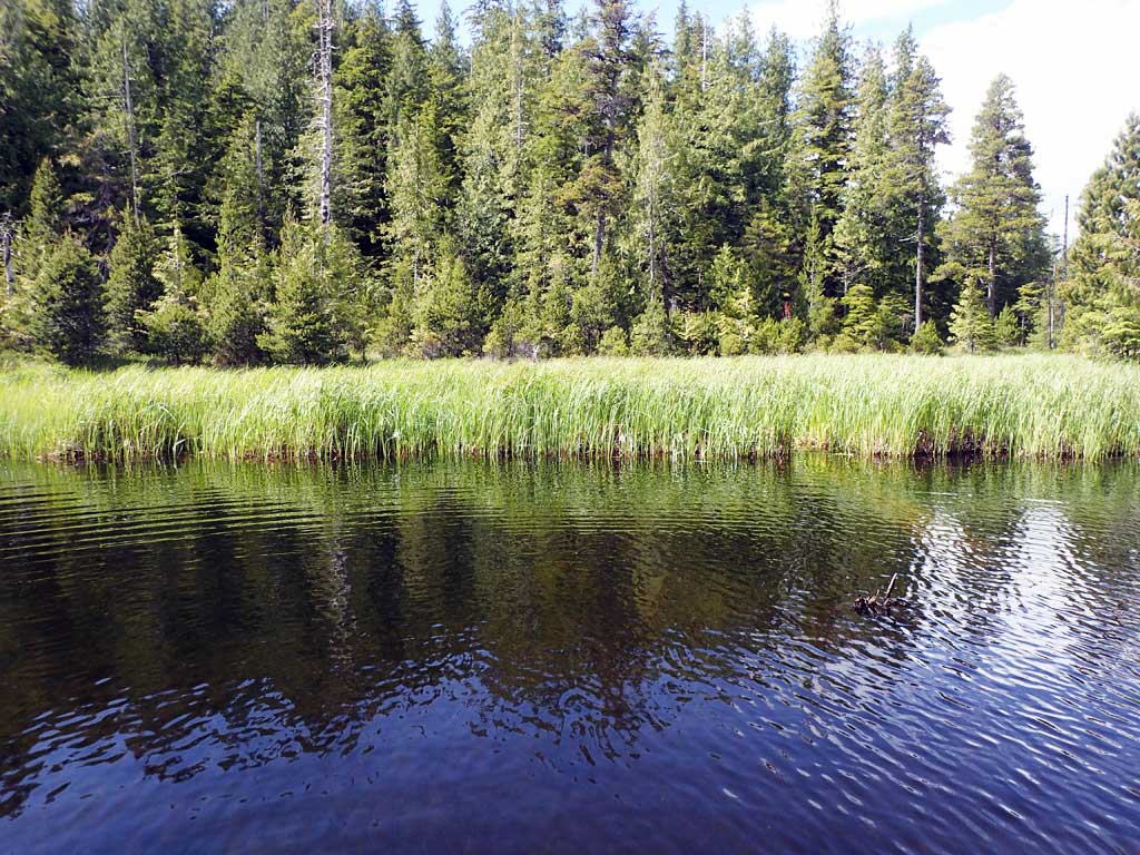
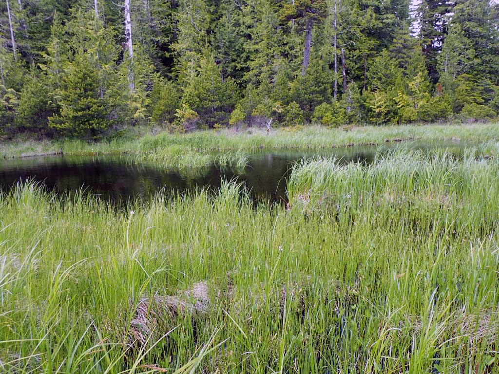
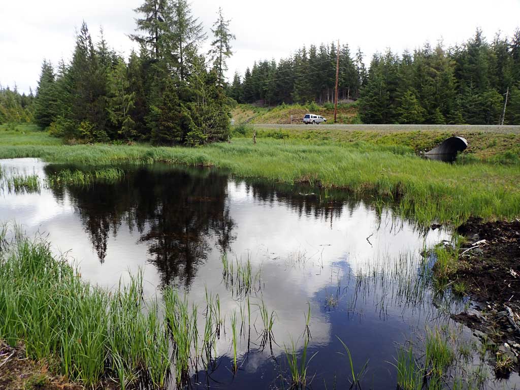
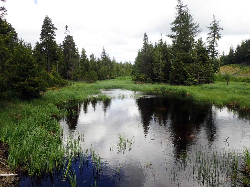
Comments: Pond at inlet and outlet, fish observed rising in ponds, no fish caught in traps.
Culvert Measurements
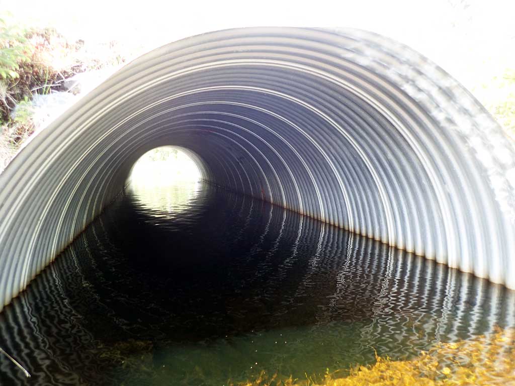
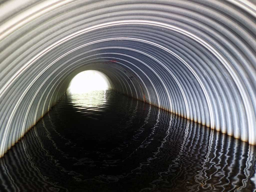
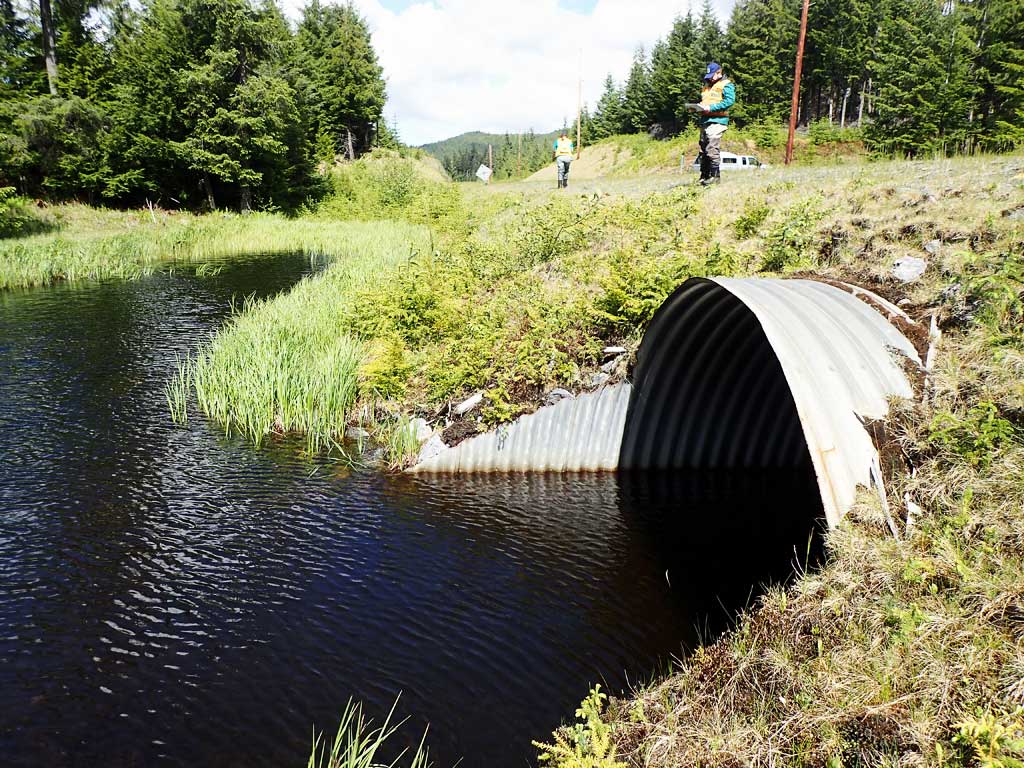
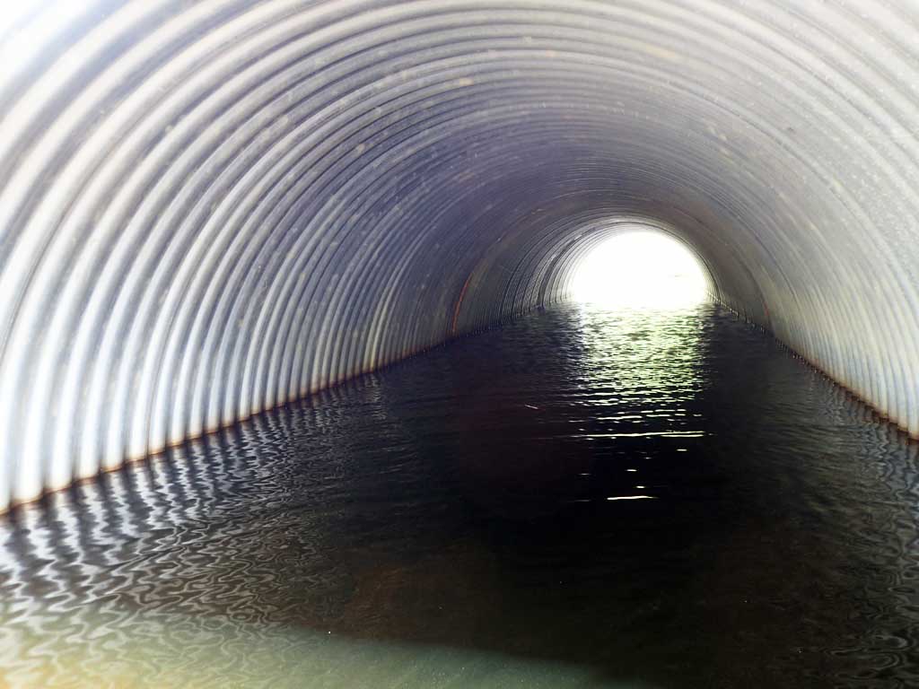
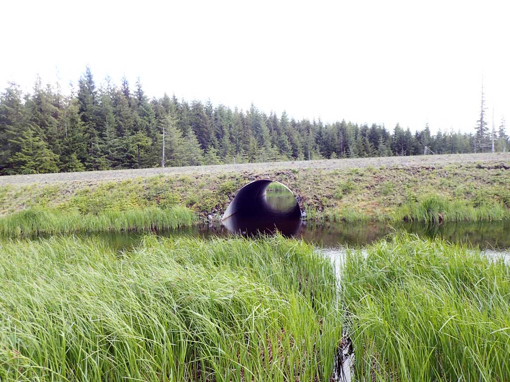
| ID: 1 | Structure Type: Circular pipe (Corrugated steel) | Fish Passage Rating: | ||||||||||||||||||||||||||||||||||||||||||
|
|
|
||||||||||||||||||||||||||||||||||||||||||
Comments: rust line underwater, not measured |
||||||||||||||||||||||||||||||||||||||||||||
Stream Measurements
|
|
| Stream Width Type | Distance From Crossing (ft) |
Stream Width (ft) |
|---|---|---|
| Upstream ordinary high water | 50.0 | 1.90 |
| Upstream ordinary high water | 100.0 | 1.90 |
| Upstream ordinary high water | 150.0 | 1.90 |
Elevations
| Locator ID | Culvert Number |
River Distance (ft)1 |
Distance From Crossing (ft)2 |
Relative Elevation (ft) |
|---|---|---|---|---|
| Road Elev | 100.00 | |||
| Outlet Invert | 0.00 | 89.06 | ||
| D/S Water Surface Elev | 0.00 | 91.54 | ||
| Outlet Culvert Top | 9.00 | 96.16 | ||
| Inlet Culvert Top | 62.68 | 96.41 | ||
| U/S Water Surface Elev | 71.68 | 91.54 | ||
| Inlet Culvert Invert | 71.68 | 89.02 |
Notes:
- River distance is measured continuously throughout the survey reach along the thalweg of the stream.
- Measured from each end of the crossing along the thalweg of the stream.
Fish Sampling Efforts
| Gear Type: Minnow Trap (A) | Trap Duration(h): 1.2 | |
| Comments: no fish | ||
| Gear Type: Minnow Trap (B) | Trap Duration(h): 1.2 | |
| Comments: no fish | ||
Fish Observations
No fish observations occurred during this survey.
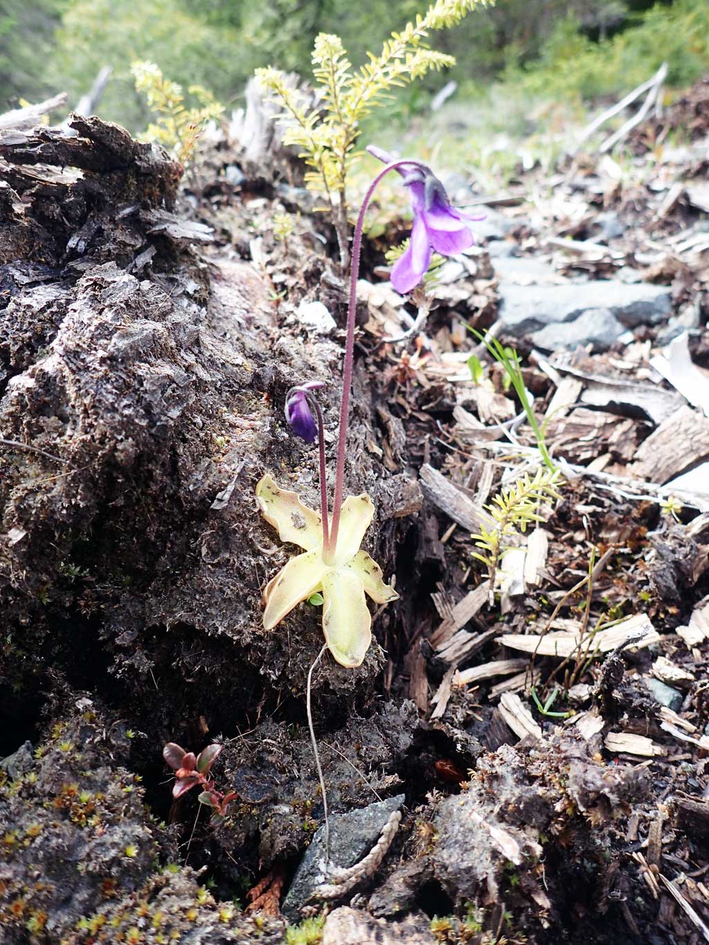
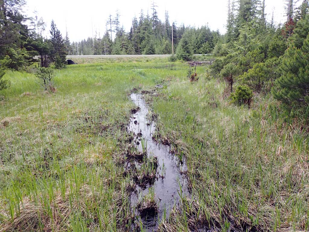
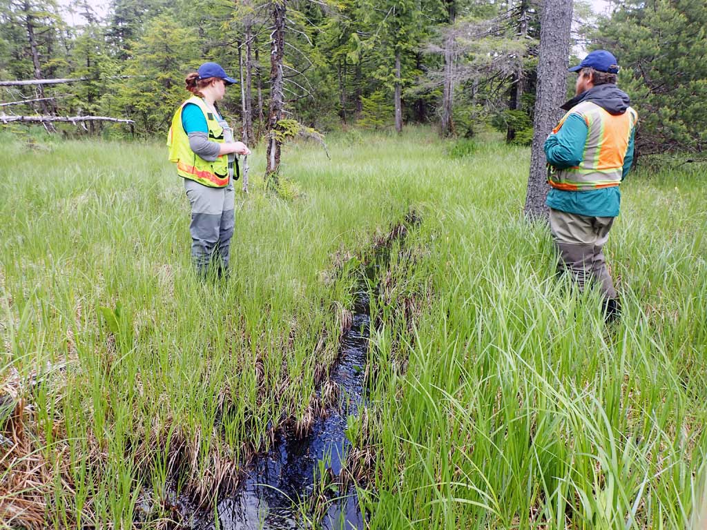
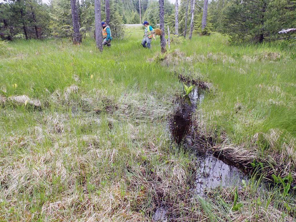
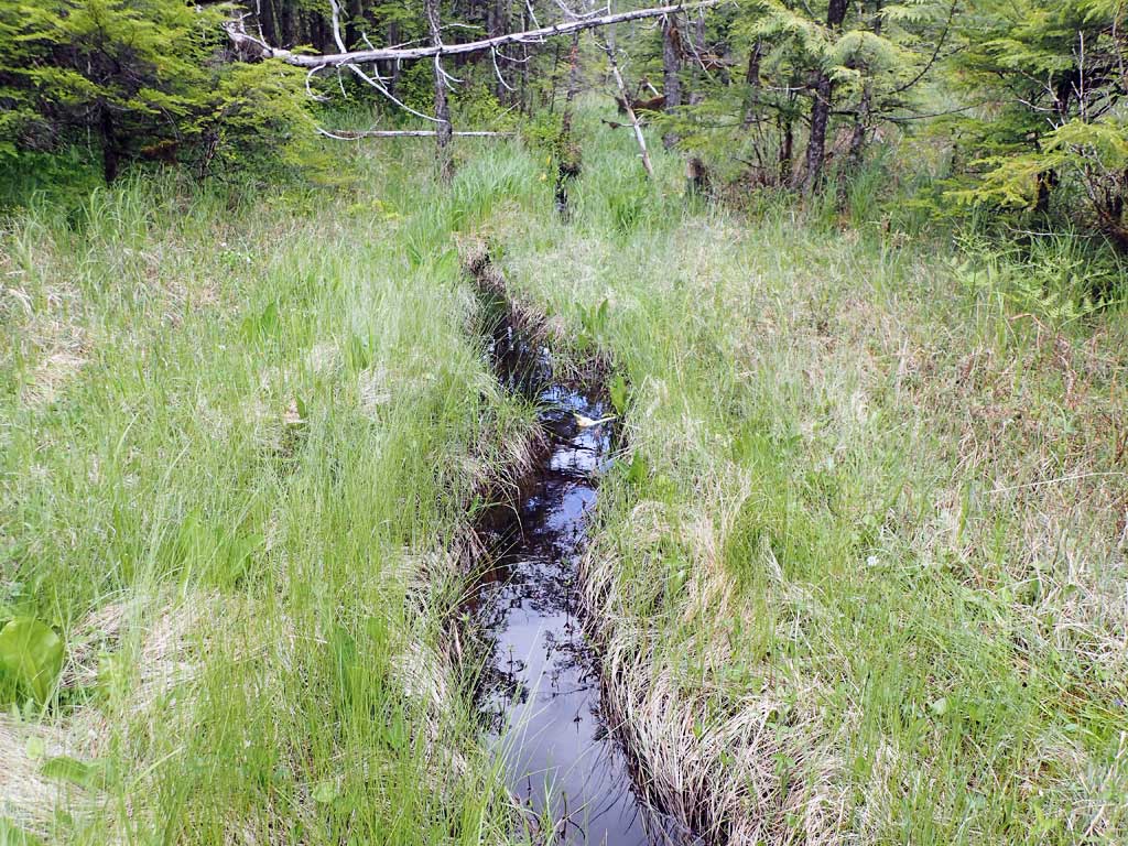
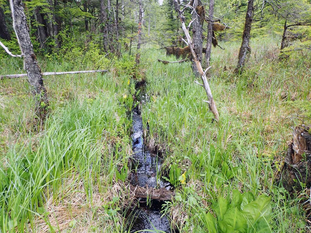
Photos
Questions or comments about this report can be directed to dfg.dsf.webmaster@alaska.gov