Fish Passage Site 10103553
Coordinates (dec. deg.): 55.87405°, -133.05241°
Legal Description: C069S081E19
Region: Southeast
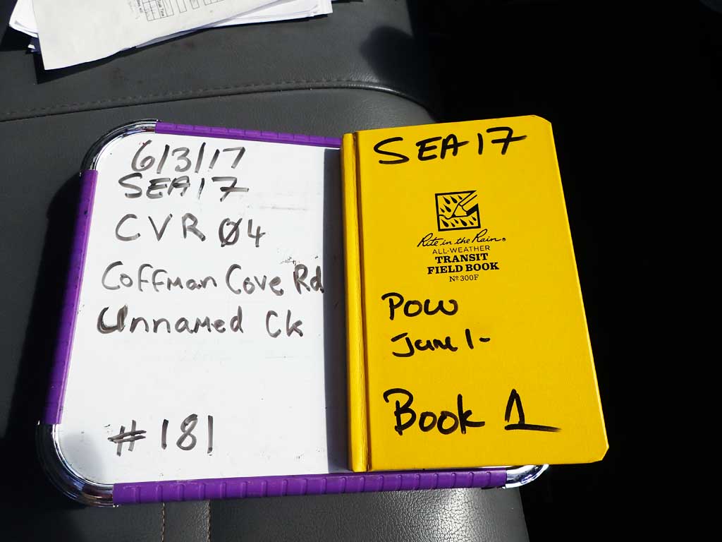
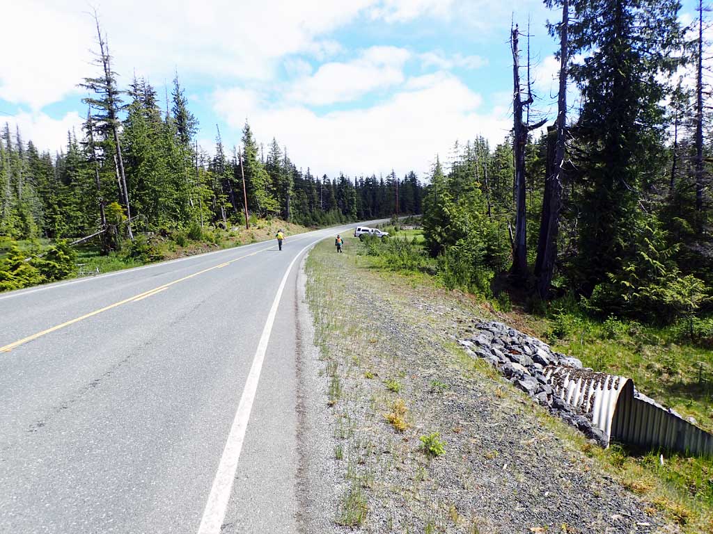
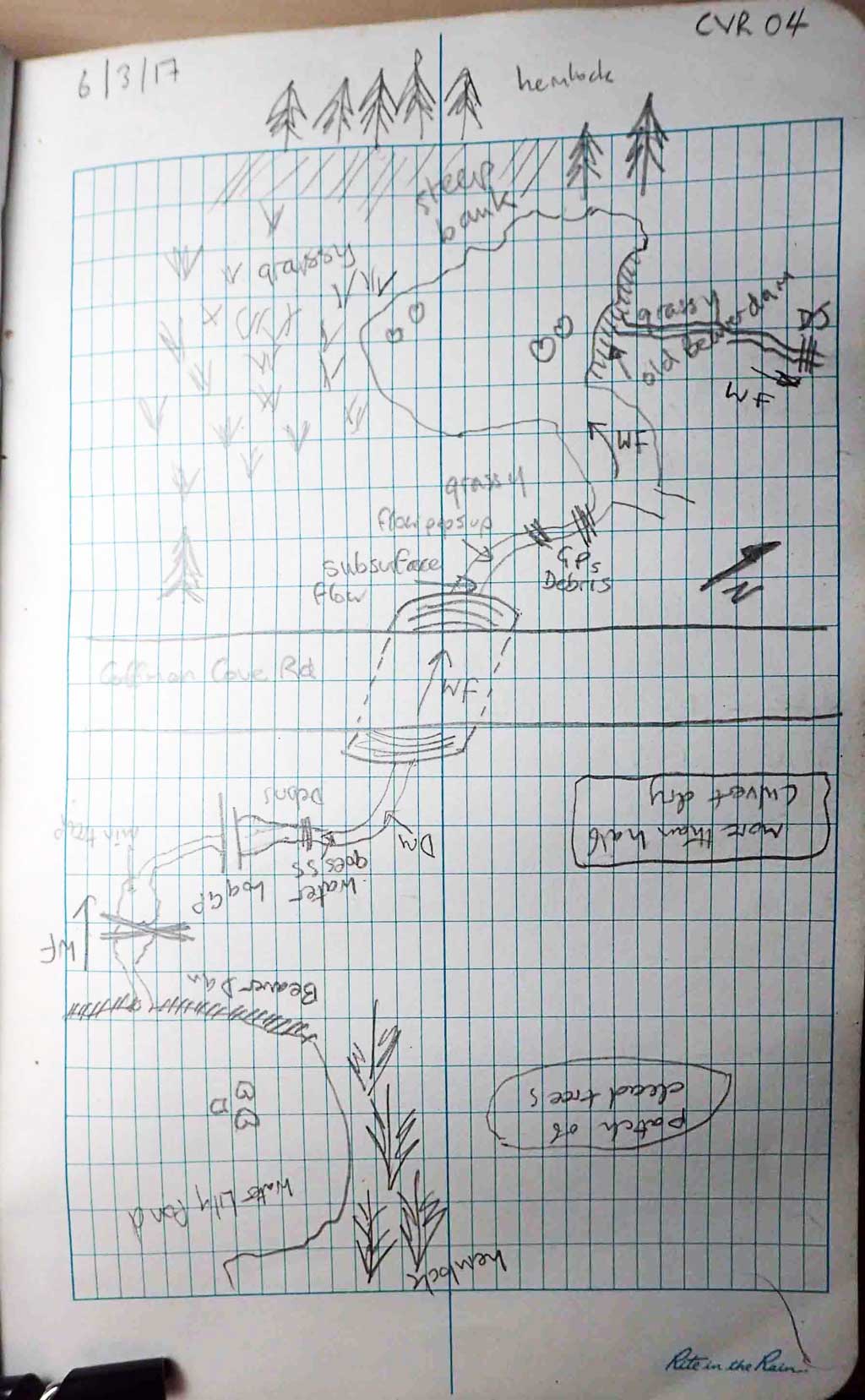
Road Name: Coffman Cove Road
Datum: NAD83
Quad Name / ITM: Craig D-4
AWC Stream #:
Stream Name: Unnamed
Elevation:
Site Comments: None
Survey SEA17-CVR04
Observers: Mark Eisenman, Elizabeth Flory, Kelly Petty
Overall Fish Passage Rating:
Tidal: No
Backwatered: No
Step Pools: No
Construction Year:
Site Observations:
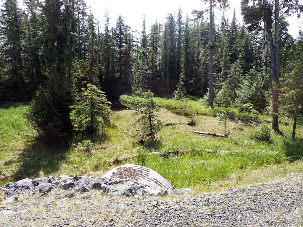
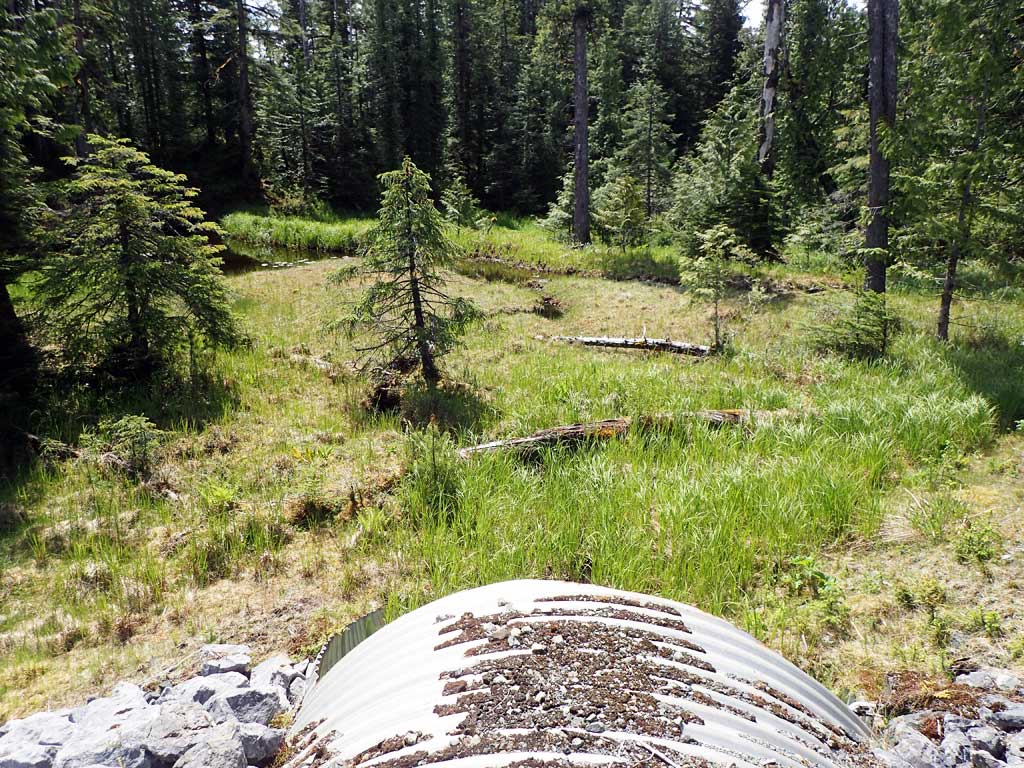
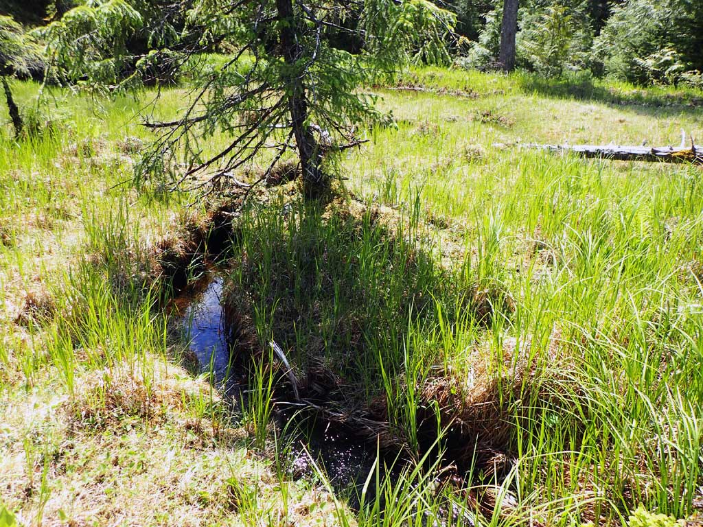
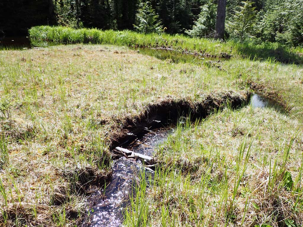
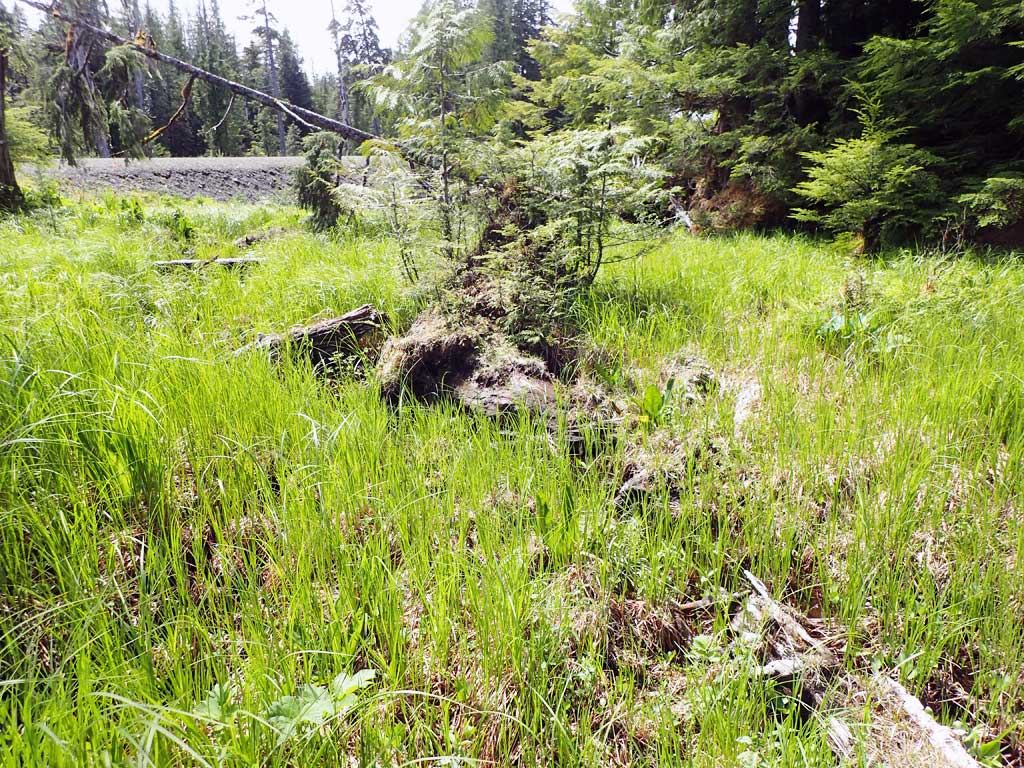
- Beaver Activity
- Improper bedding
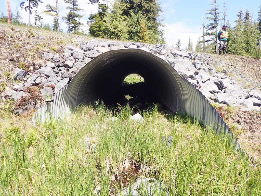
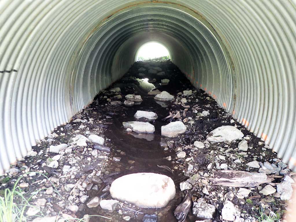
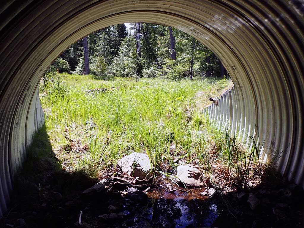
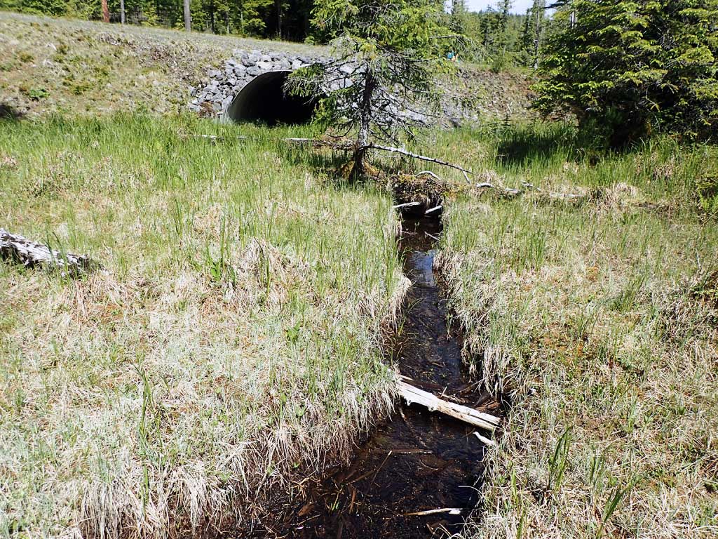
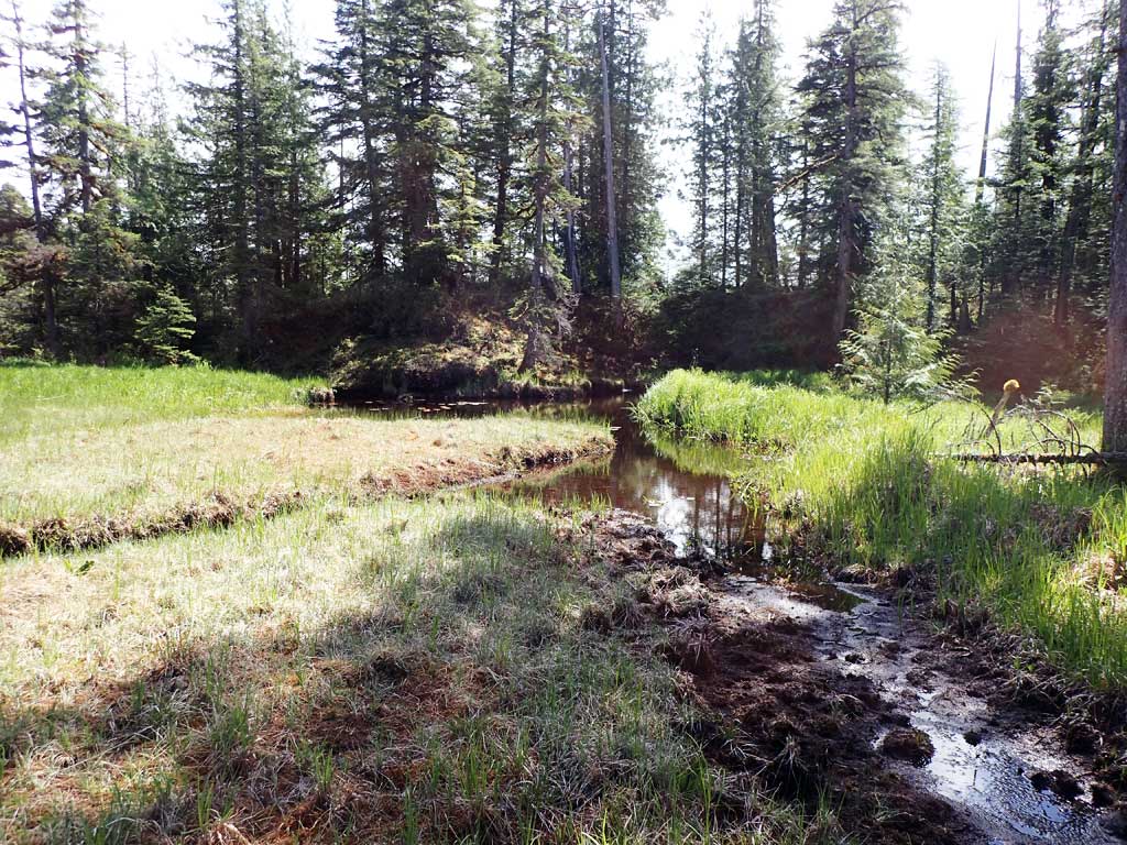
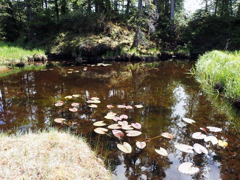
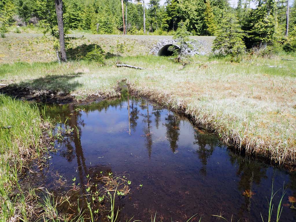
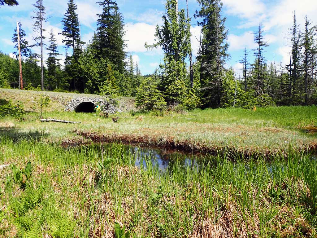
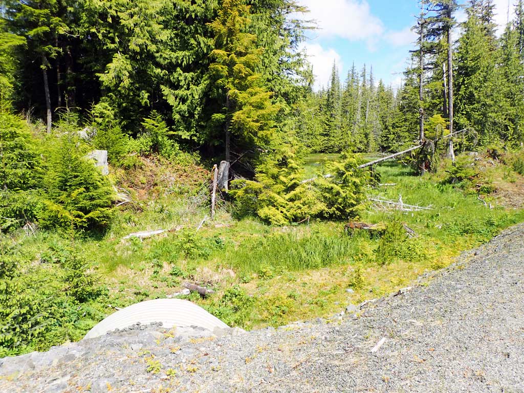
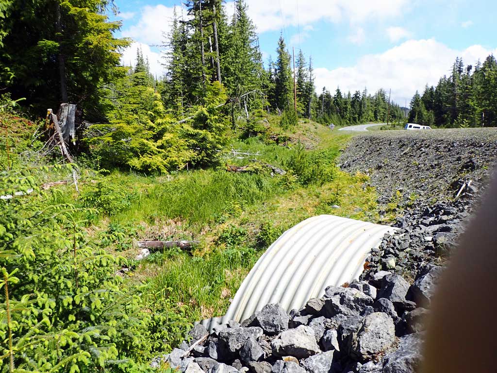
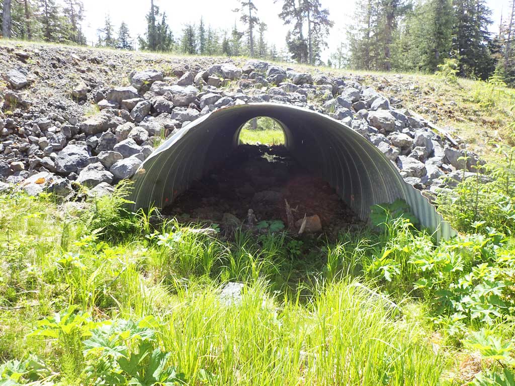
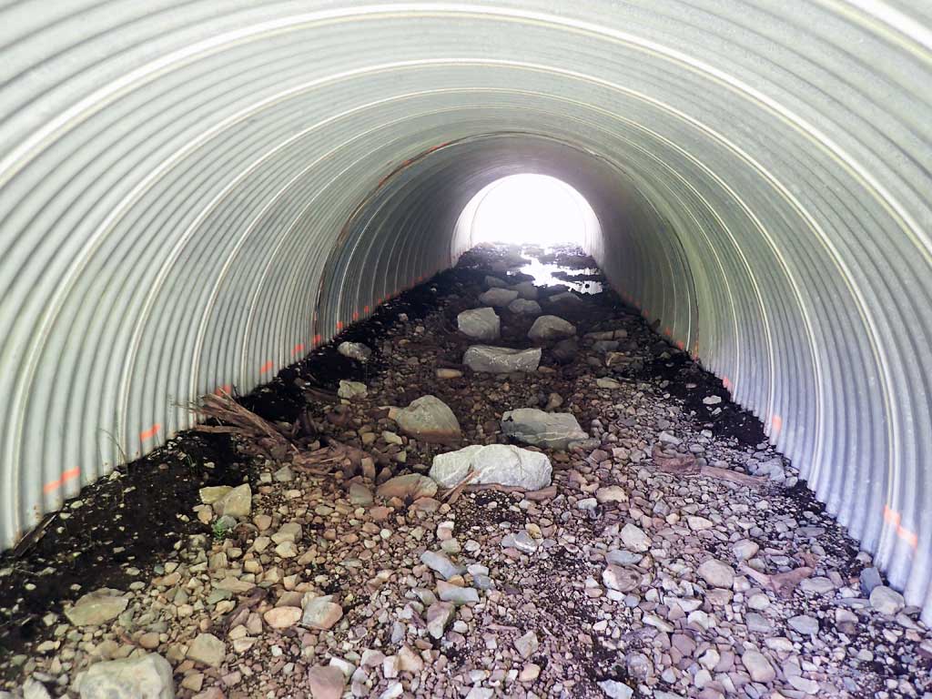
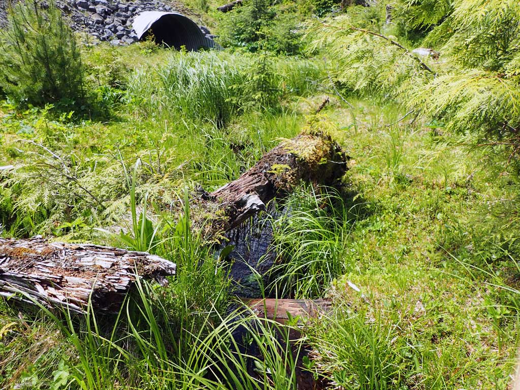
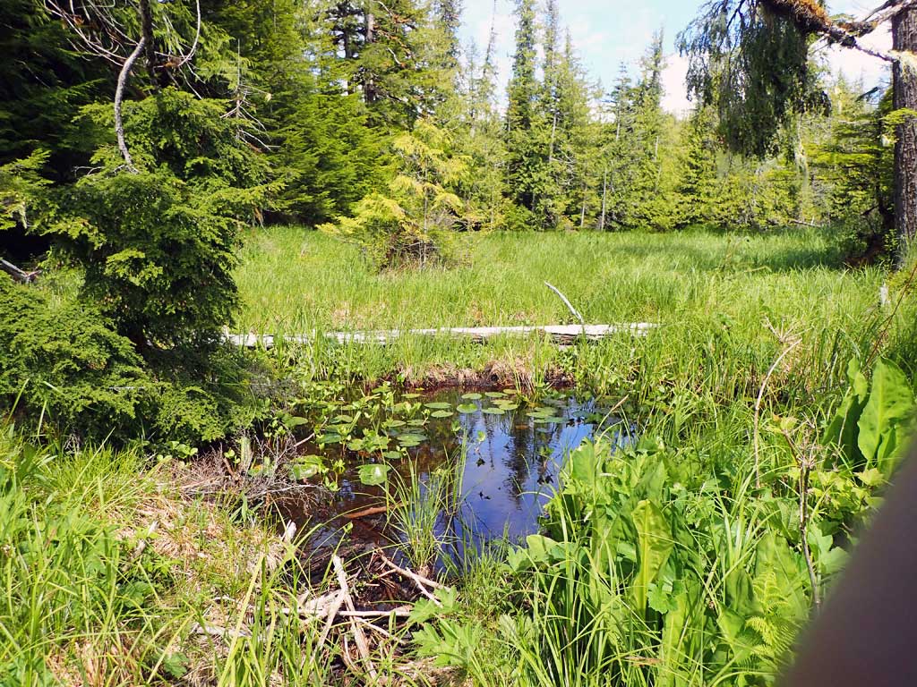
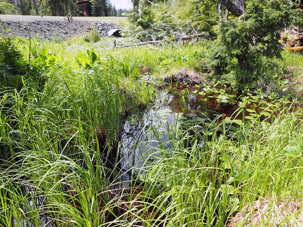
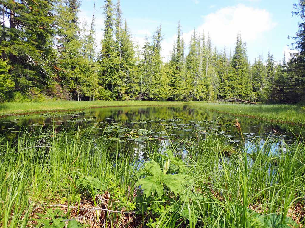
Comments: Creek flows subsurface inside pipe, likely due to improper bedding. Beavers ponds upstream and downstream.
Culvert Measurements
| ID: 1 | Structure Type: Circular pipe (Corrugated steel) | Fish Passage Rating: | ||||||||||||||||||||||||||||||||||||||||||
|
|
|
||||||||||||||||||||||||||||||||||||||||||
Comments: No widths measured, all large beaver ponds. Culvert too large, constriction not an issue. |
||||||||||||||||||||||||||||||||||||||||||||
Culvert Observations:
|
||||||||||||||||||||||||||||||||||||||||||||
Stream Measurements
|
|
No stream width data available.
Elevations
| Locator ID | Culvert Number |
River Distance (ft)1 |
Distance From Crossing (ft)2 |
Relative Elevation (ft) |
|---|---|---|---|---|
| Road Elev | 104.89 | |||
| D/S Grade Ctrl (Thalweg) (edge of beaver pond) | 0.00 | 92.18 | ||
| D/S Water Surface Elev | 0.00 | 91.44 | ||
| D/S Water Surface Elev | 31.00 | 91.51 | ||
| D/S Grade Ctrl (Thalweg) (log) | 31.00 | 91.24 | ||
| Outlet Invert (no water, on substrate) | 68.00 | 92.22 | ||
| Outlet Culvert Top | 78.00 | 99.83 | ||
| Inlet Culvert Top | 165.60 | 100.00 | ||
| Inlet Culvert Invert (dry, estimated end of mitre) | 175.60 | 93.79 | ||
| U/S Grade Ctrl (Thalweg) (top of log) | 224.60 | 96.41 | ||
| U/S Water Surface Elev | 224.60 | 96.85 |
Notes:
- River distance is measured continuously throughout the survey reach along the thalweg of the stream.
- Measured from each end of the crossing along the thalweg of the stream.
Fish Sampling Efforts
| Gear Type: Minnow Trap (A) | ||
| Comments: Time out not recorded, no fish | ||
| Gear Type: Minnow Trap (B) | ||
| Comments: time out not recorded, no fish | ||
Fish Observations
No fish observations occurred during this survey.
Photos

Questions or comments about this report can be directed to dfg.dsf.webmaster@alaska.gov