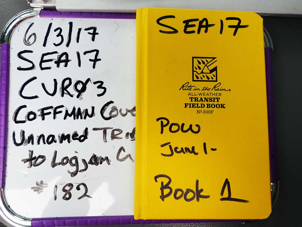
Fish Passage Site 10103552
Coordinates (dec. deg.): 55.87035°, -133.06657°
Legal Description: C069S080E24
Region: Southeast
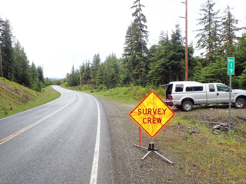
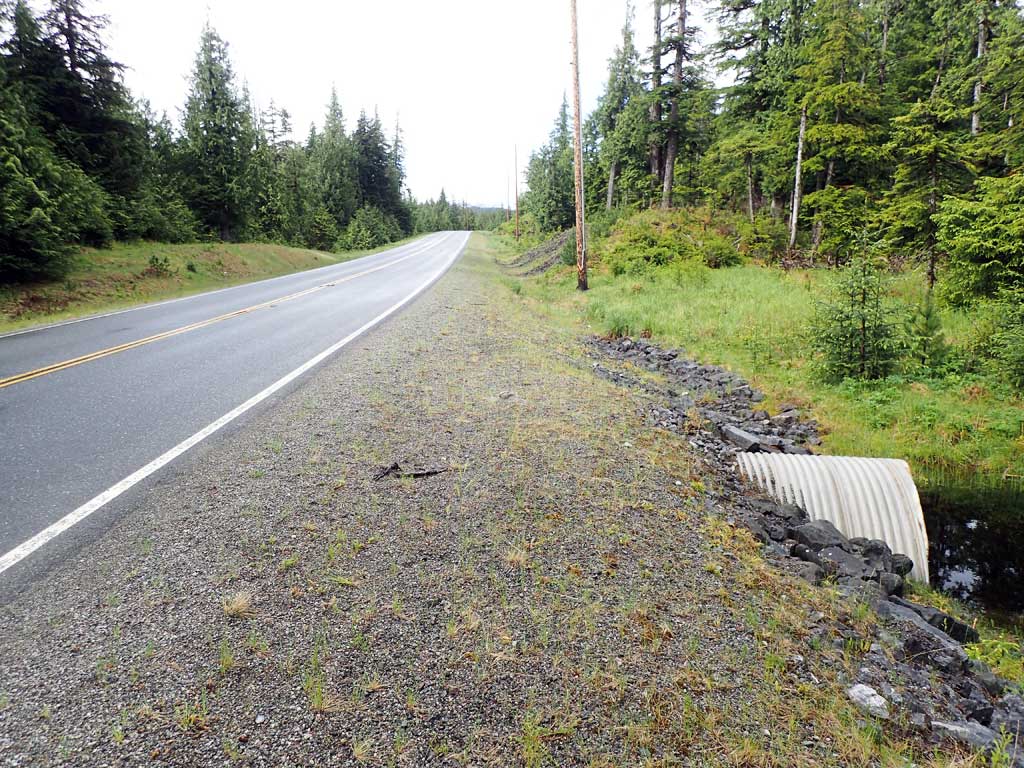
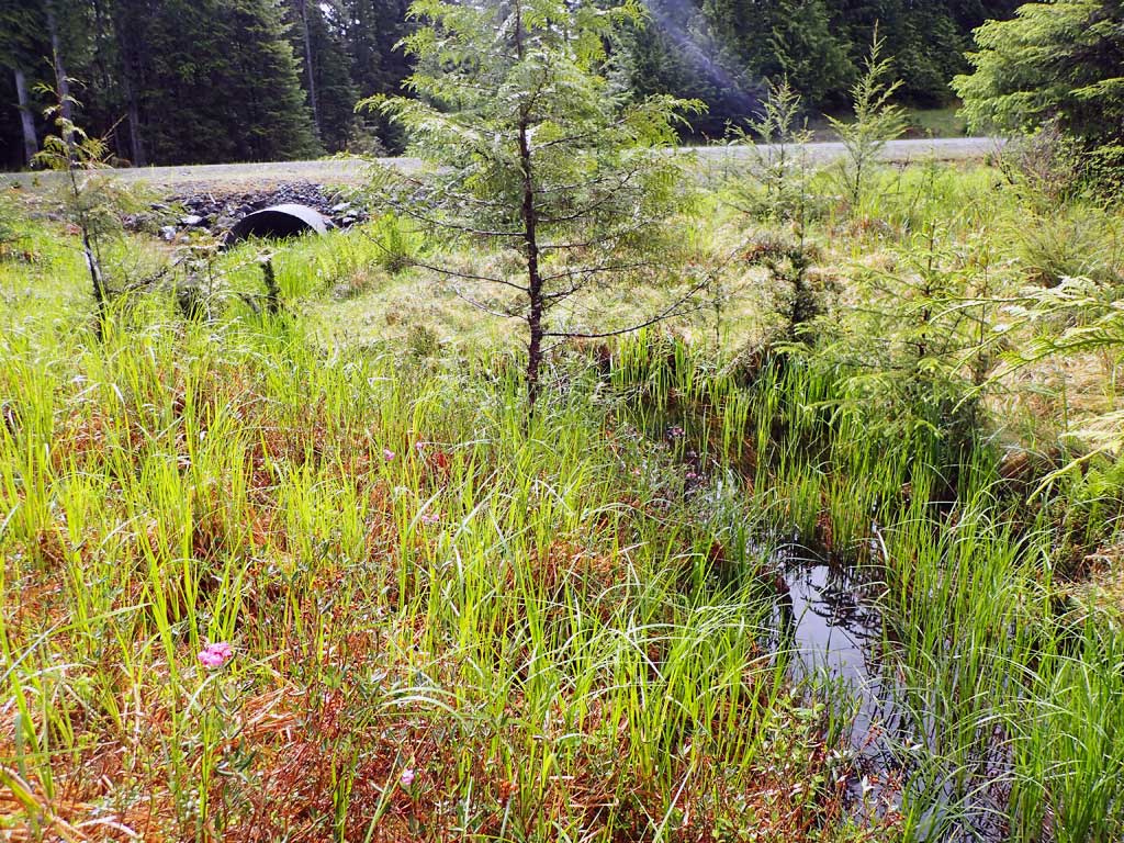
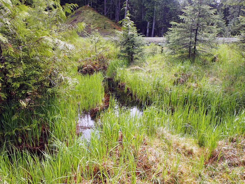
Road Name: Coffman Cove Road
Datum: NAD83
Quad Name / ITM: Craig D-4
AWC Stream #: 106-30-10670-2004-3030-4060
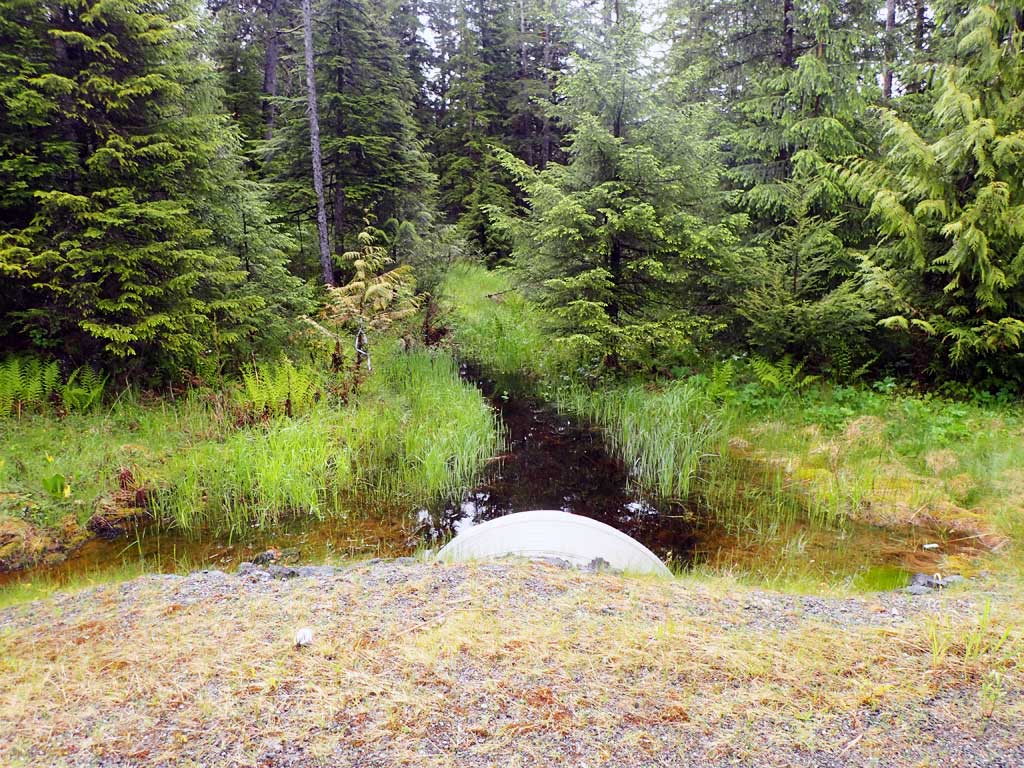
Stream Name: Unnamed
Elevation:
Site Comments: Near Milepost 19
Survey SEA17-CVR03
Observers: Mark Eisenman, Elizabeth Flory, Kelly Petty
Overall Fish Passage Rating:
Tidal: No
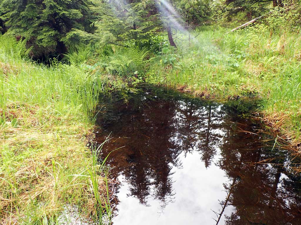
Backwatered: Yes
Step Pools: No
Construction Year:
Site Observations:
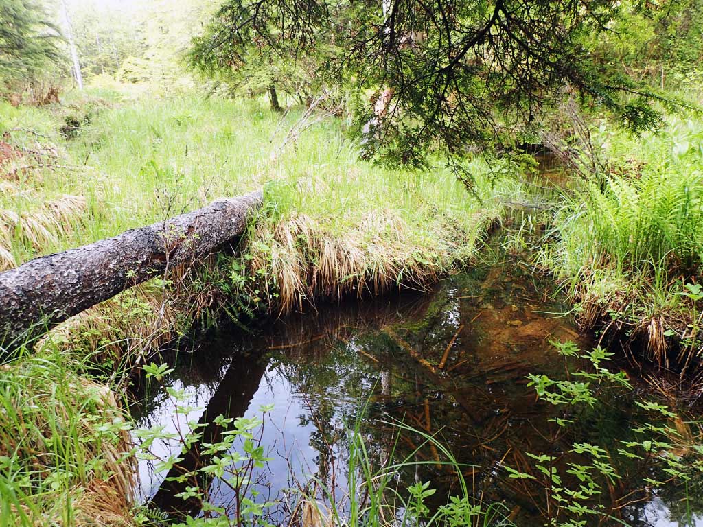
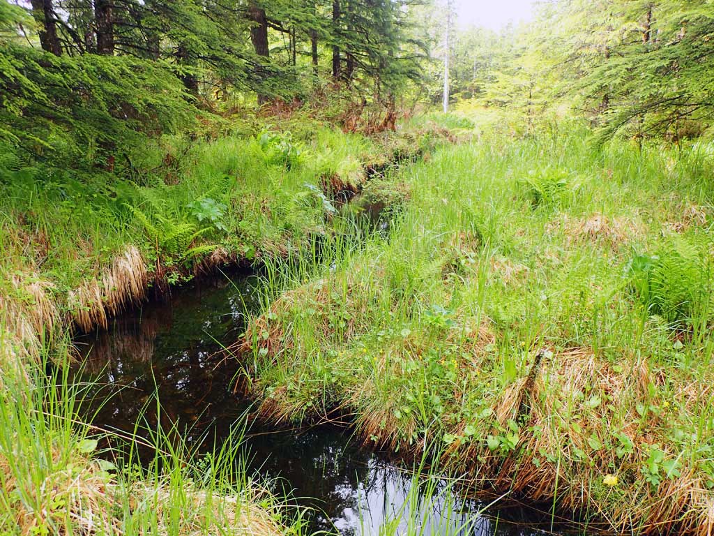
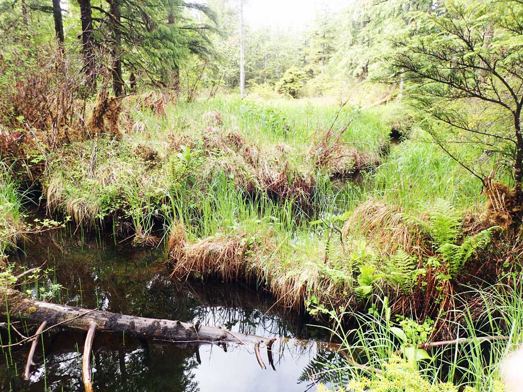
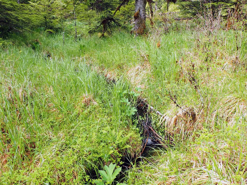
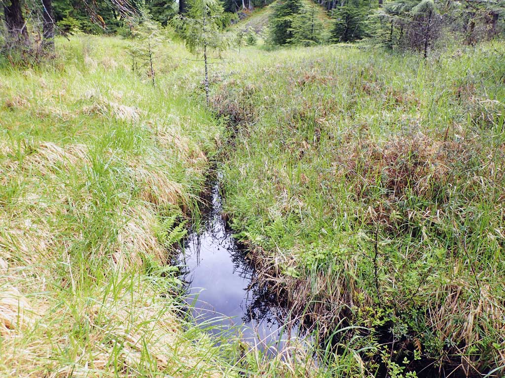
- Beaver Activity
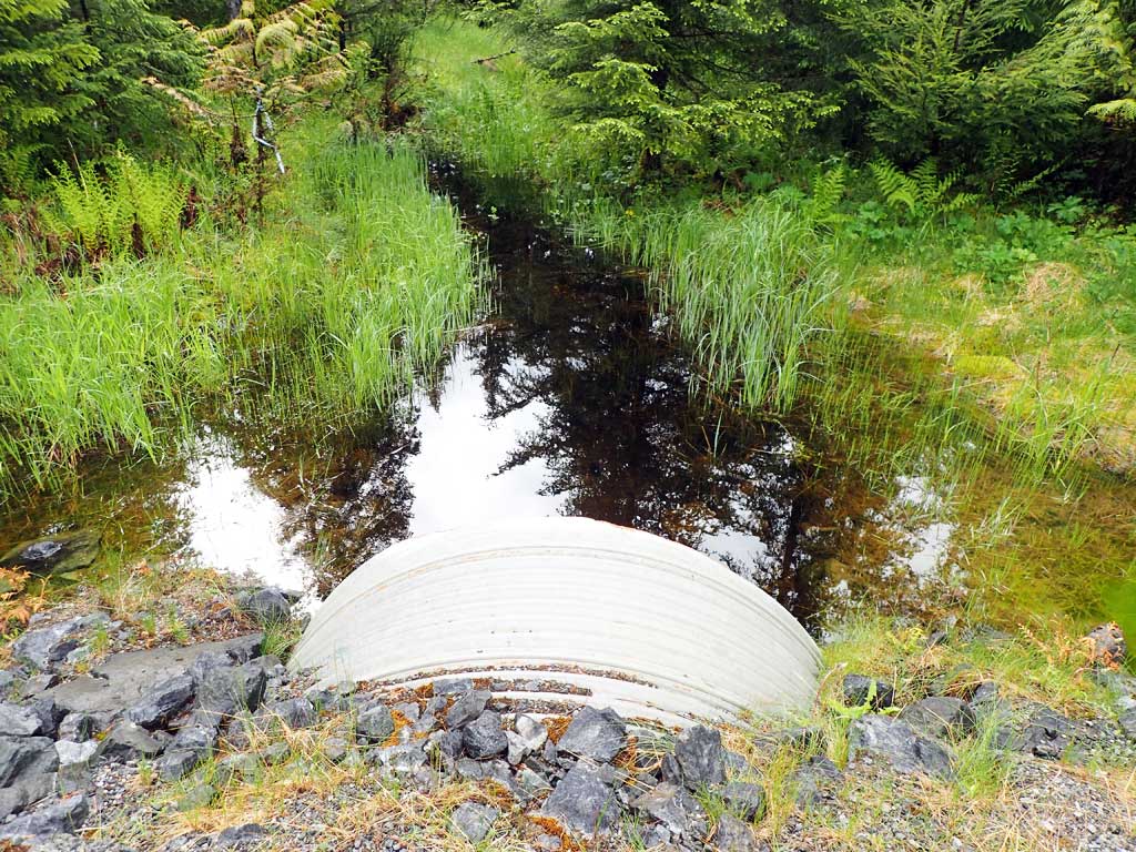
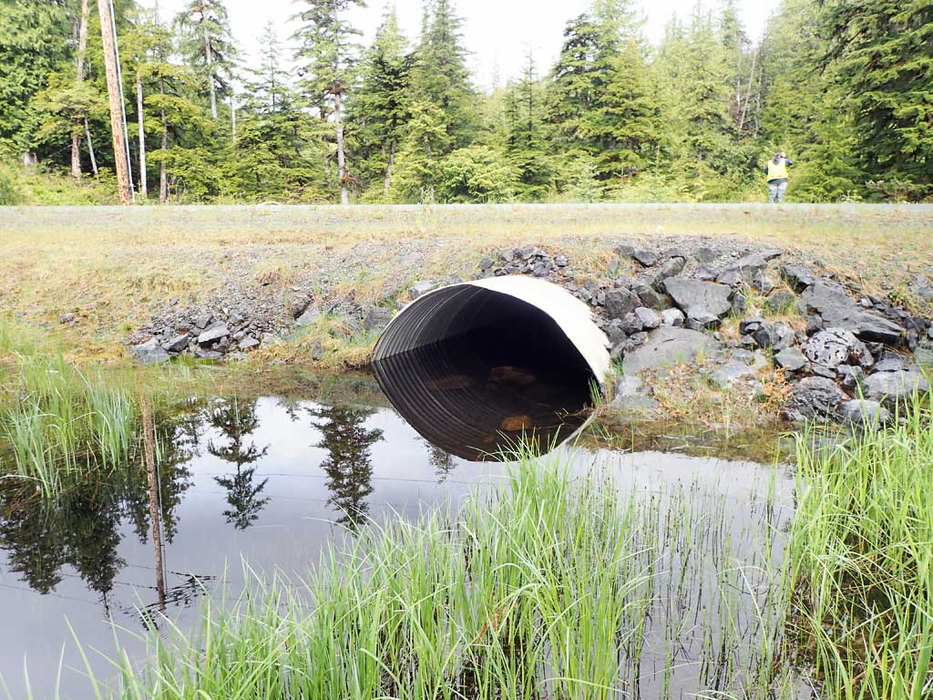
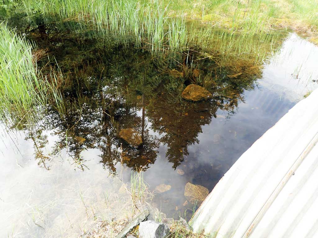
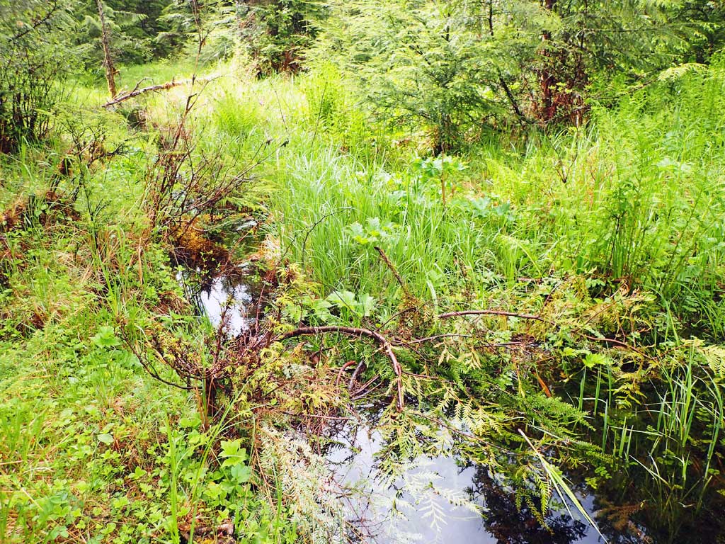
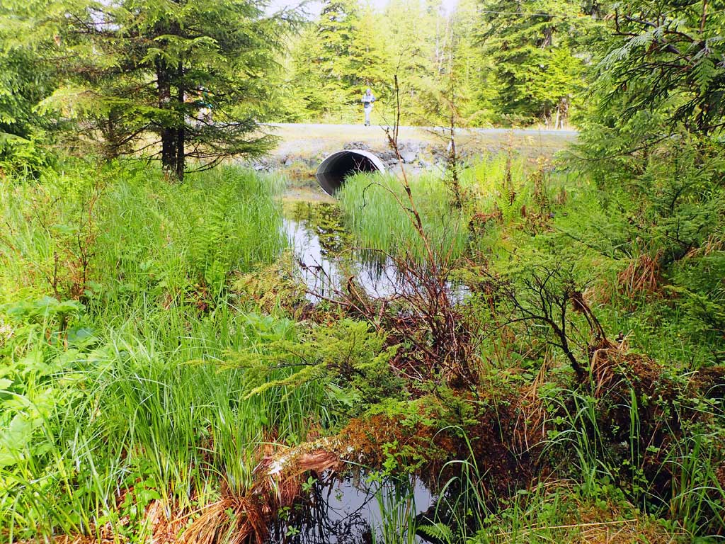
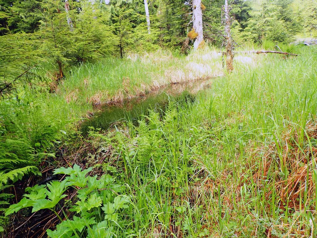
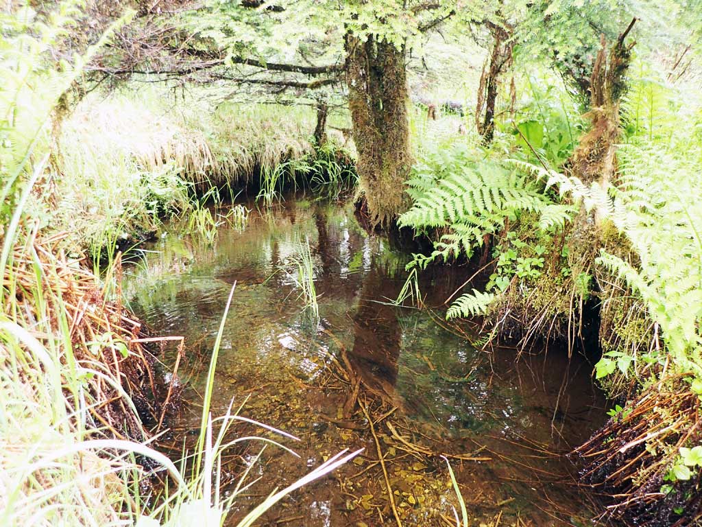
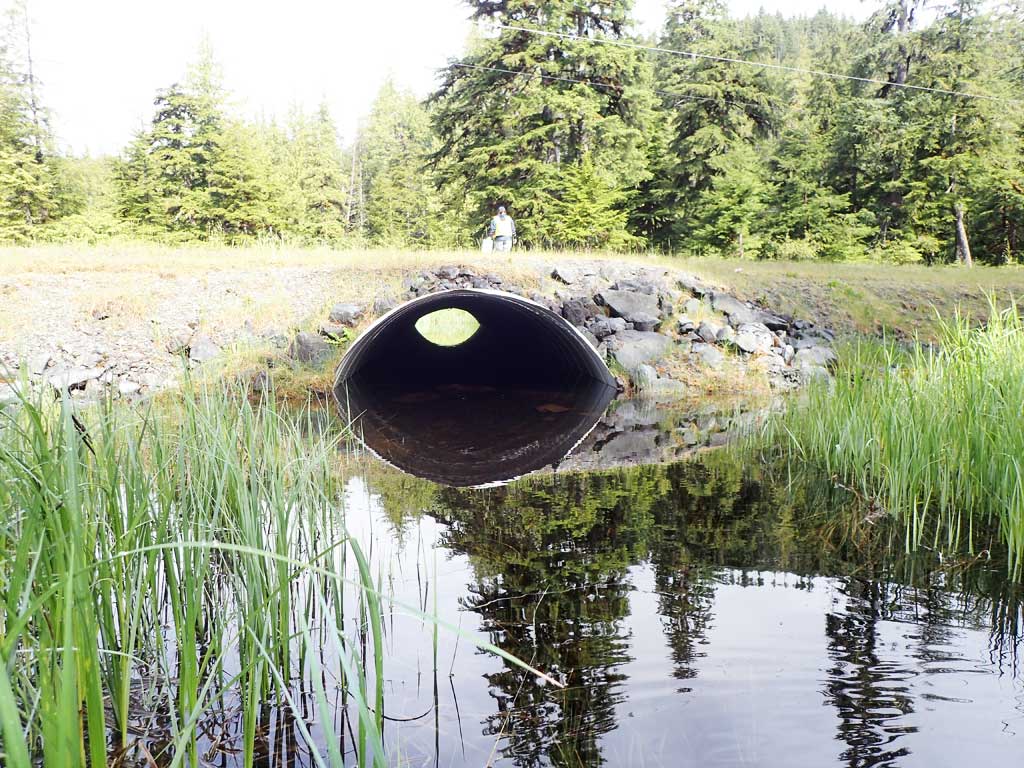
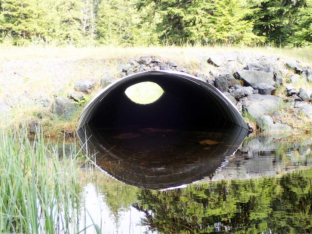
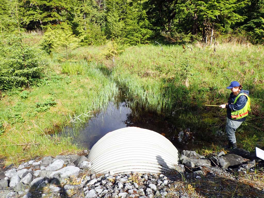
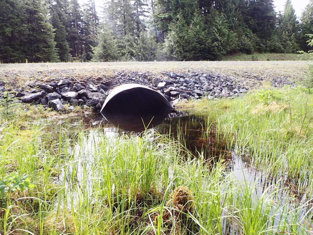
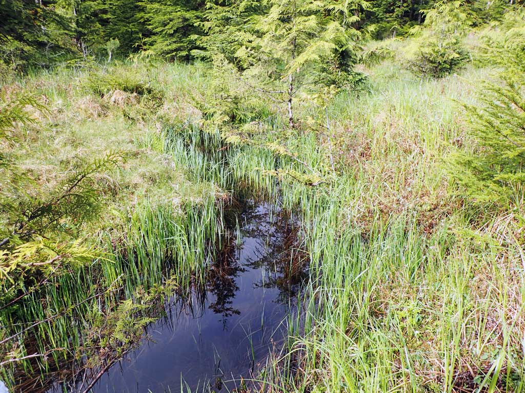
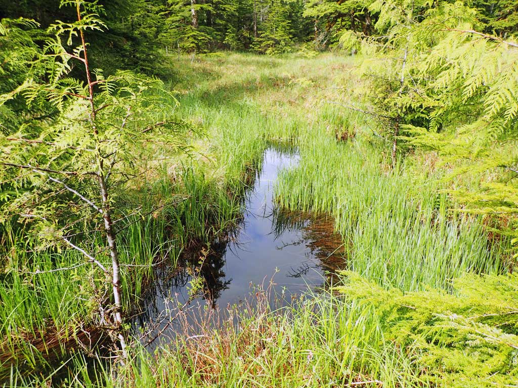
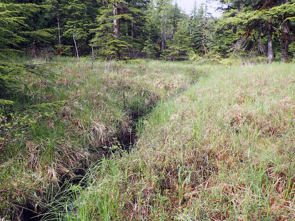
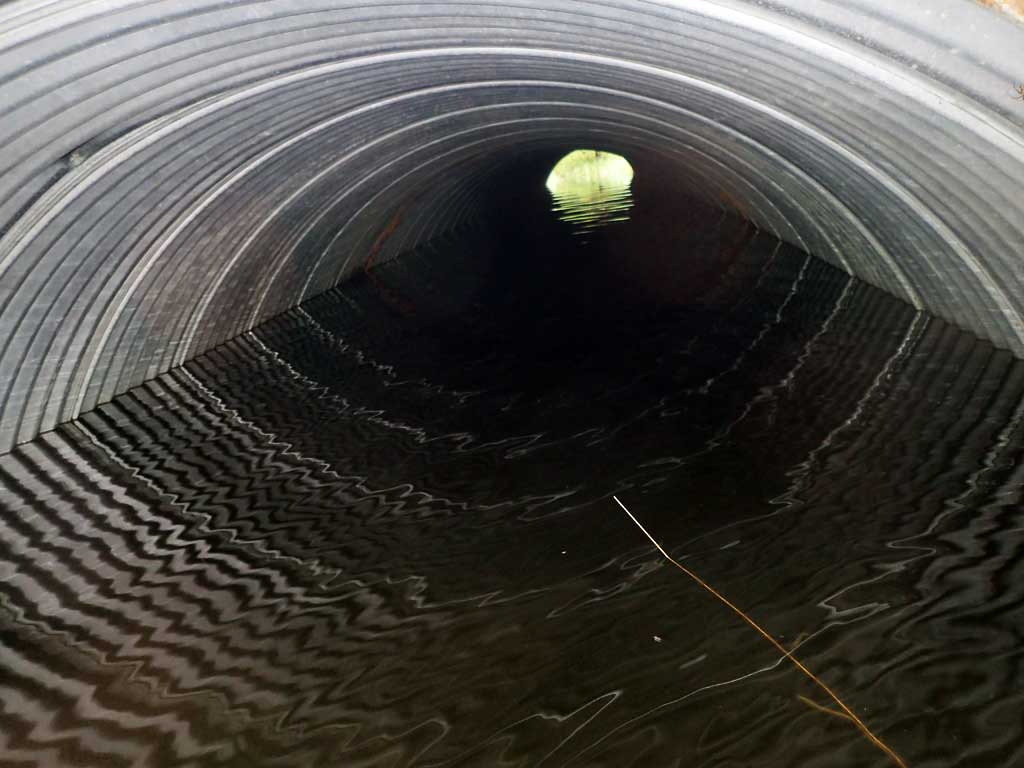
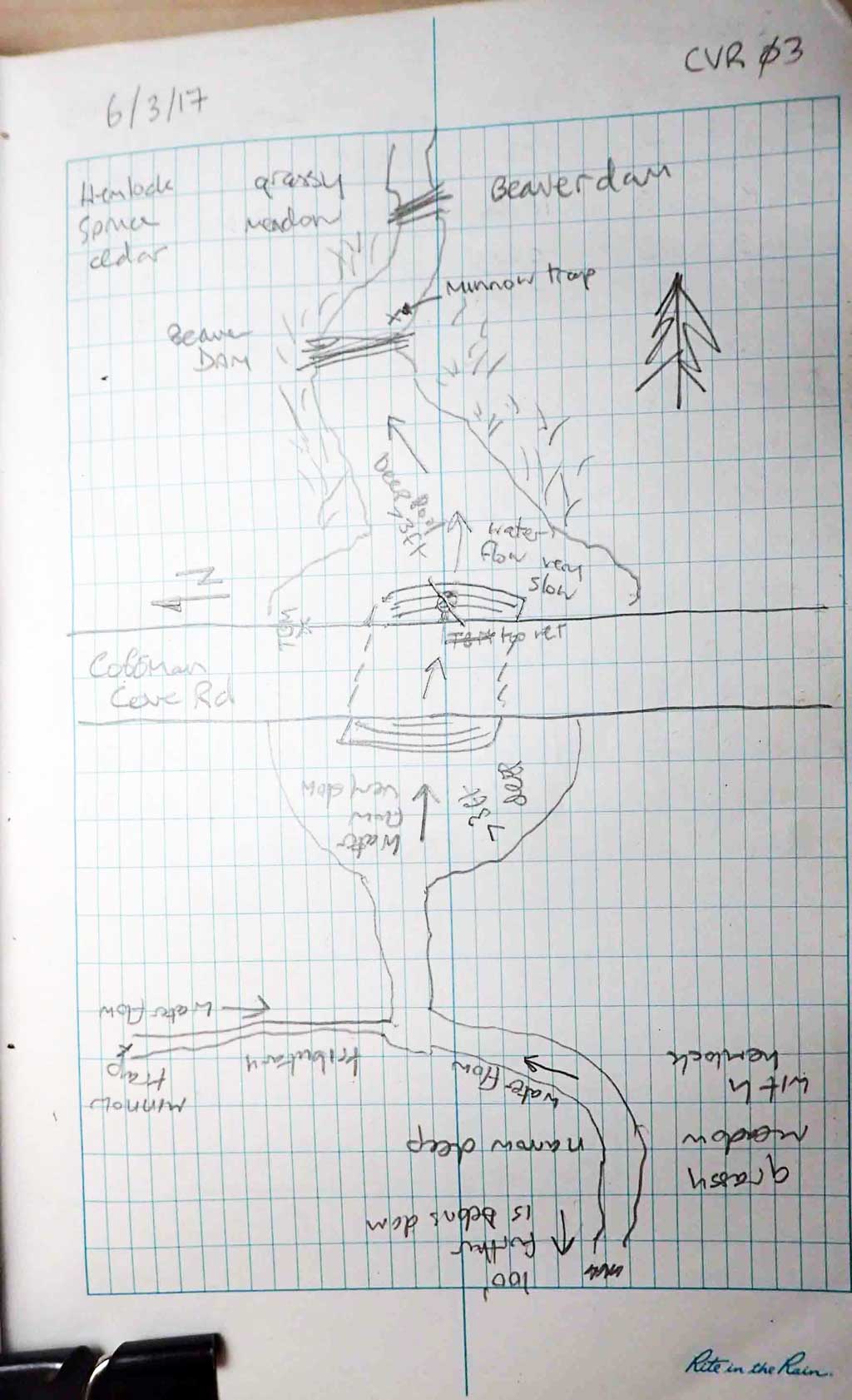
Comments: Beaver dams downstream, stream splits 50ft upstream. Backwatered by beaver dams.
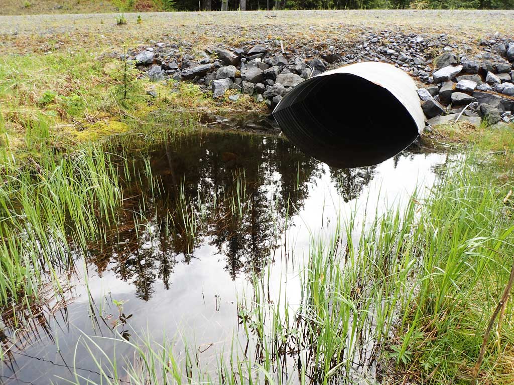
Culvert Measurements
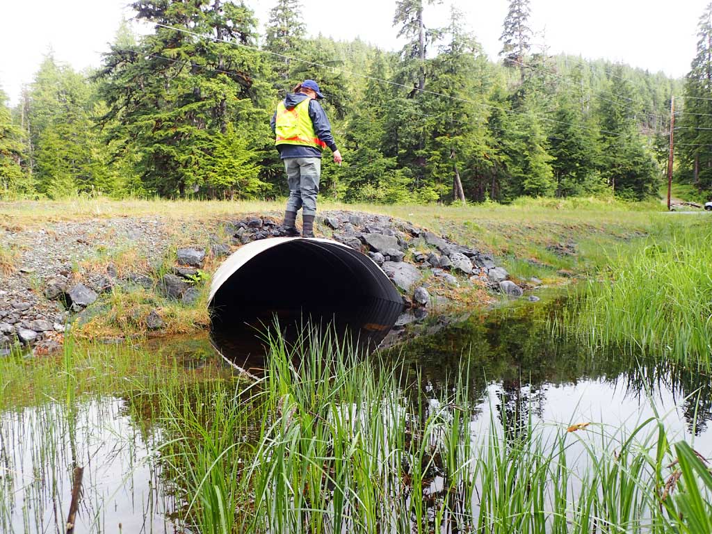
| ID: 1 | Structure Type: Circular pipe (Corrugated steel) | Fish Passage Rating: | ||||||||||||||||||||||||||||||||||||||||||
|
|
|
||||||||||||||||||||||||||||||||||||||||||
Comments: Length is total culvert including mitres. Rust line underwater, not measured. Top of culvert length is 63.4'. |
||||||||||||||||||||||||||||||||||||||||||||
Culvert Observations:
|
||||||||||||||||||||||||||||||||||||||||||||
Stream Measurements
|
|
| Stream Width Type | Distance From Crossing (ft) |
Stream Width (ft) |
|---|---|---|
| Upstream ordinary high water | 50.0 | 3.00 |
| Upstream ordinary high water | 100.0 | 2.00 |
Elevations
| Locator ID | Culvert Number |
River Distance (ft)1 |
Distance From Crossing (ft)2 |
Relative Elevation (ft) |
|---|---|---|---|---|
| Road Elev | 100.67 | |||
| D/S Grade Ctrl (Thalweg) (below beaver dam) | 0.00 | 93.37 | ||
| D/S Water Surface Elev | 0.00 | 94.48 | ||
| D/S Grade Ctrl (Thalweg) (beaver dam) | 14.00 | 95.58 | ||
| D/S Water Surface Elev | 14.00 | 95.71 | ||
| Max Pool Depth | 26.00 | 92.00 | ||
| D/S Water Surface Elev | 26.00 | 95.70 | ||
| D/S Water Surface Elev | 49.00 | 95.73 | ||
| Outlet Invert (estimated end of mitre on substrate) | 49.00 | 93.08 | ||
| Outlet Culvert Top | 55.00 | 98.24 | ||
| Inlet Culvert Top | 118.40 | 97.98 | ||
| U/S Water Surface Elev | 124.40 | 95.73 | ||
| Inlet Culvert Invert (estimated end of mitre on substrate) | 124.40 | 92.71 |
Notes:
- River distance is measured continuously throughout the survey reach along the thalweg of the stream.
- Measured from each end of the crossing along the thalweg of the stream.
Fish Sampling Efforts
| Gear Type: Minnow Trap (A) | Trap Duration(h): 3.0 | |
| Comments: no fish | ||
| Gear Type: Minnow Trap (B) | Trap Duration(h): 3.0 | |
| Comments: no fish | ||
Fish Observations
No fish observations occurred during this survey.
Photos

Questions or comments about this report can be directed to dfg.dsf.webmaster@alaska.gov