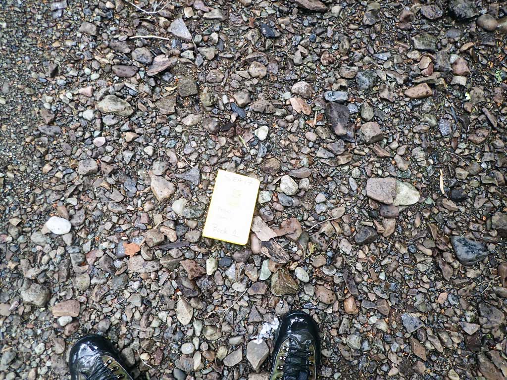
Fish Passage Site 10103551
Coordinates (dec. deg.): 55.90107°, -133.01257°
Legal Description: C069S081E09
Region: Southeast
Road Name: Coffman Cove Road
Datum: NAD83
Quad Name / ITM: Craig D-4
AWC Stream #:
Stream Name: Unnamed
Elevation:
Site Comments: None
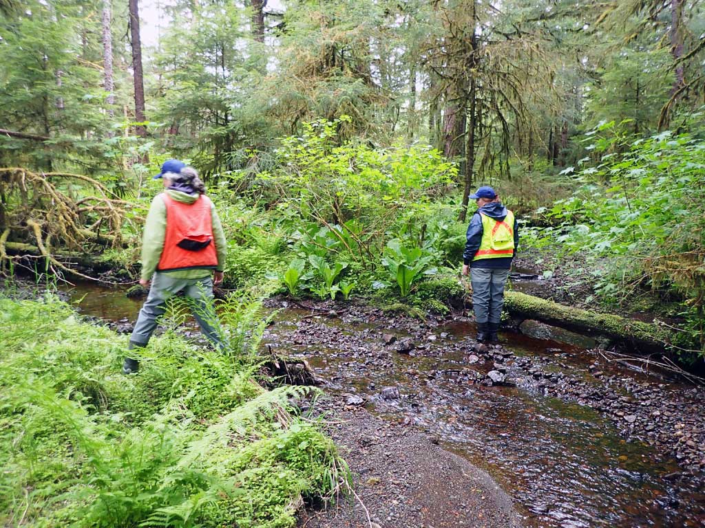
Survey SEA17-CVR02
Observers: Mark Eisenman, Elizabeth Flory, Kelly Petty
Overall Fish Passage Rating:
Tidal: No
Backwatered: No
Step Pools: No
Construction Year:
Site Observations:
- Culvert gradient gray
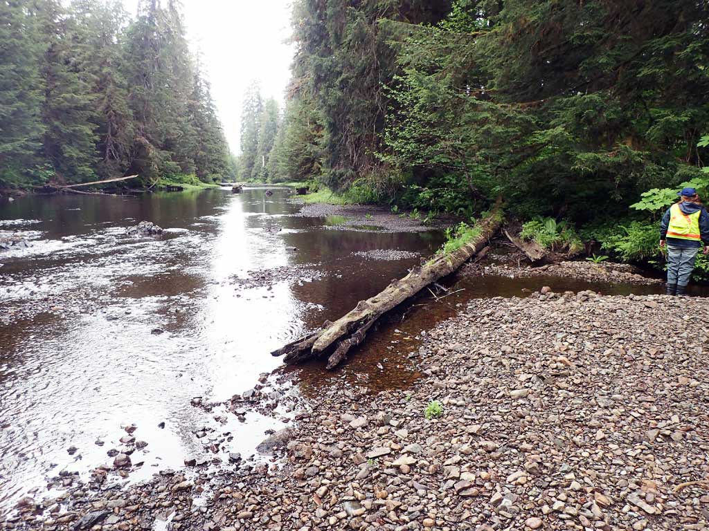
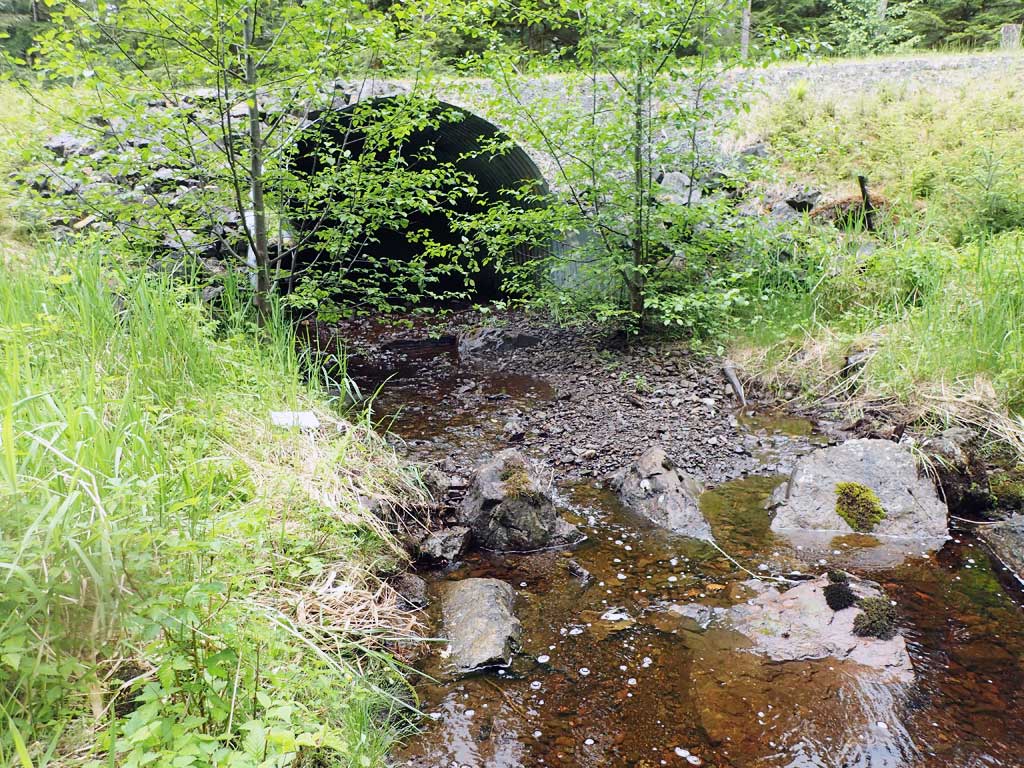
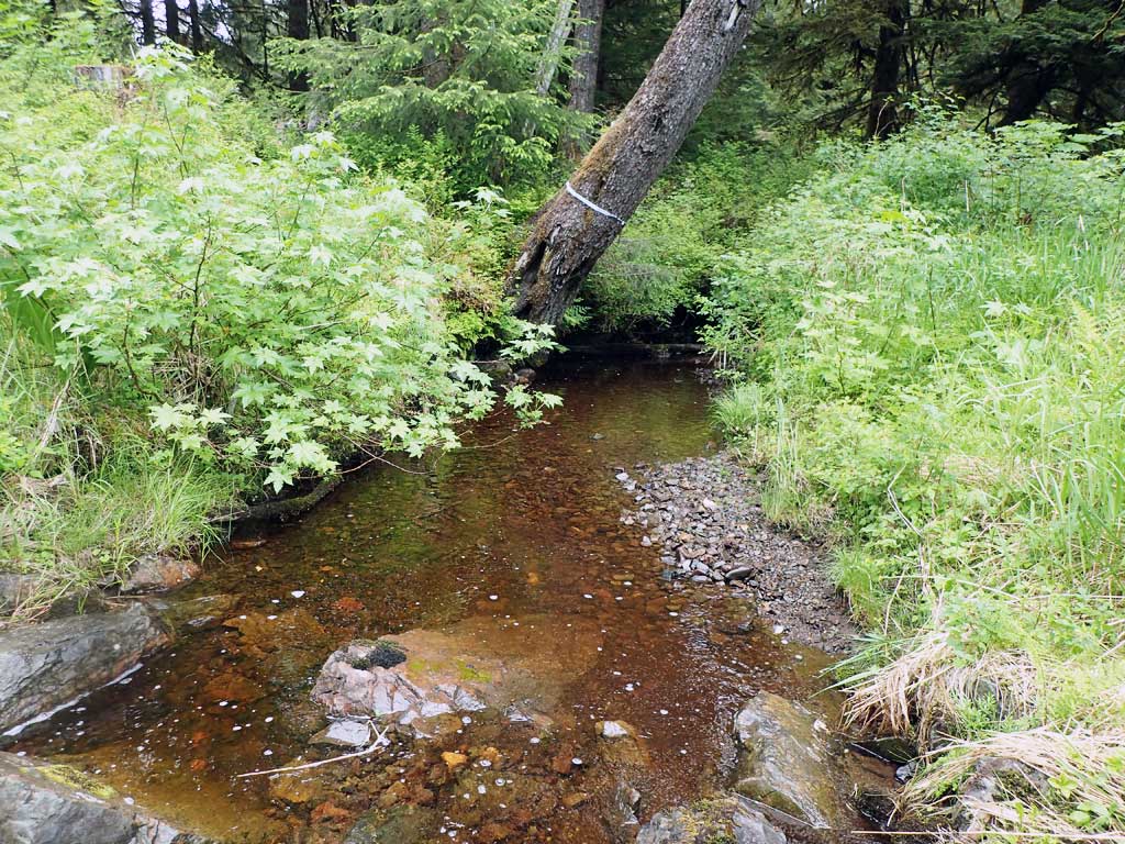
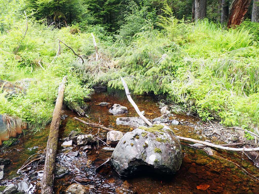
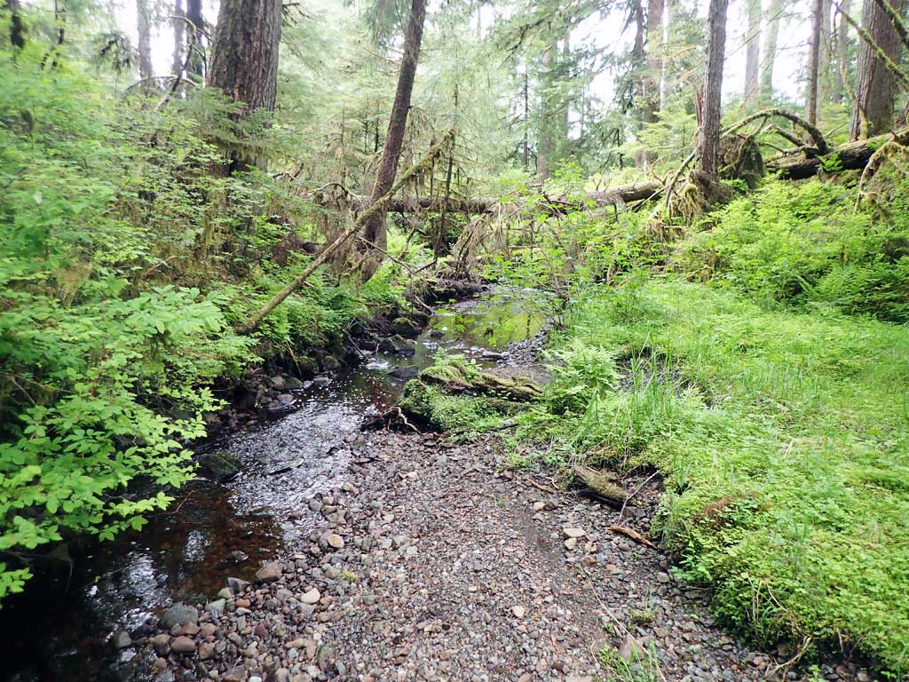
Comments: Near road #2360. Nice habitat upstream and downstream, stream splits 250ft upstream. Confluence with Log Jam Creek 100ft downstream. No barriers. Large woody debris and pools. Some bedrock control. Shallow water depth though barrel of culvert, looks like channel has moved to sides of culvert.
Culvert Measurements
| ID: 1 | Structure Type: Circular pipe (Structural steel plate) | Fish Passage Rating: | ||||||||||||||||||||||||||||||||||||||||||
|
|
|
||||||||||||||||||||||||||||||||||||||||||
Comments: Outlet mitre 9ft long, inlet mitre exposed to 7ft. Top of culvert length 79.6'. |
||||||||||||||||||||||||||||||||||||||||||||
Culvert Observations:
|
||||||||||||||||||||||||||||||||||||||||||||
Stream Measurements
|
|
| Stream Width Type | Distance From Crossing (ft) |
Stream Width (ft) |
|---|---|---|
| Upstream ordinary high water | 50.0 | 10.40 |
| Upstream ordinary high water | 120.0 | 10.70 |
| Upstream ordinary high water | 220.0 | 11.00 |
Elevations
| Locator ID | Culvert Number |
River Distance (ft)1 |
Distance From Crossing (ft)2 |
Relative Elevation (ft) |
|---|---|---|---|---|
| Road Elev | 103.40 | |||
| D/S Grade Ctrl (Thalweg) | 0.00 | 90.47 | ||
| D/S Water Surface Elev | 0.00 | 90.54 | ||
| D/S Grade Ctrl (Thalweg) (head of riffle) | 45.00 | 90.56 | ||
| D/S Water Surface Elev | 45.00 | 90.76 | ||
| Outlet Invert (on substrate) | 51.00 | 90.60 | ||
| D/S Water Surface Elev | 51.00 | 90.70 | ||
| Outlet Culvert Top | 60.00 | 100.00 | ||
| Inlet Culvert Top | 139.60 | 100.11 | ||
| Inlet Culvert Invert (on substrate) | 147.60 | 91.58 | ||
| U/S Water Surface Elev | 147.60 | 91.93 | ||
| U/S Grade Ctrl (Thalweg) | 171.60 | 92.06 | ||
| D/S Water Surface Elev | 171.60 | 92.50 | ||
| U/S Grade Ctrl (Thalweg) | 397.60 | 98.12 | ||
| U/S Water Surface Elev | 397.60 | 98.42 |
Notes:
- River distance is measured continuously throughout the survey reach along the thalweg of the stream.
- Measured from each end of the crossing along the thalweg of the stream.
Fish Sampling Efforts
| Gear Type: Minnow Trap (A) | Trap Duration(h): 3.0 | |
| Comments: 150ft upstream, no fish | ||
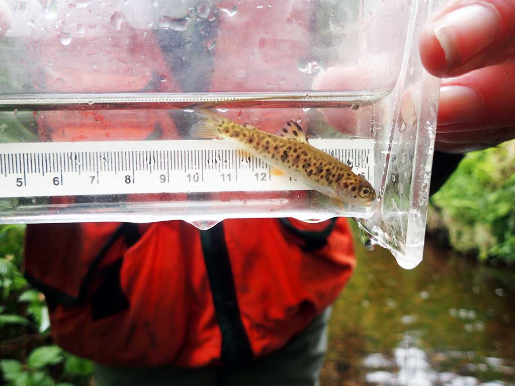
| Gear Type: Minnow Trap (B) | Trap Duration(h): 3.0 | |
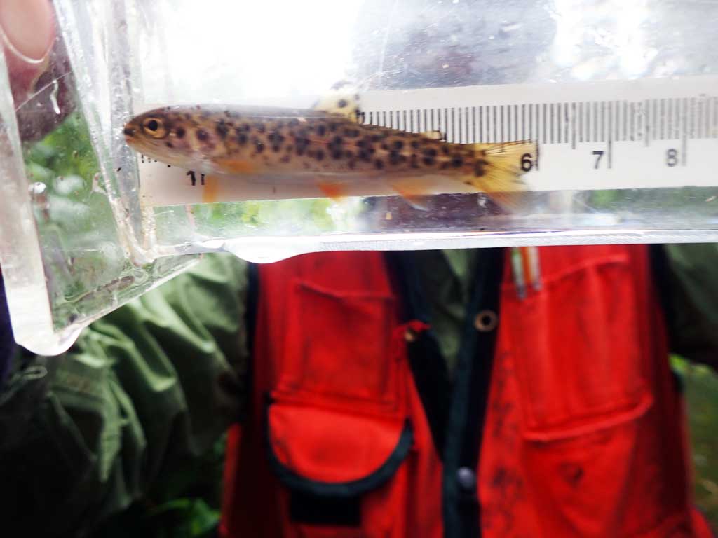
| Comments: 40ft downstream, one cutthroat | ||
Fish Observations
| Species: cutthroat trout | Life History: | ||
| Total Fish Observed: 1 | Fish Measured: 1 | Fork Lengths (mm) Min: 56 Max: 56 Mean: 56 | |
| Collected/Observed by Gear Type: Downstream Minnow Trap (1) | |||
Photos


Questions or comments about this report can be directed to dfg.dsf.webmaster@alaska.gov