Fish Passage Site 10103548
Coordinates (dec. deg.): 55.56313°, -133.07825°
Legal Description: C073S081E03
Region: Southeast
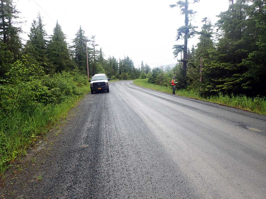
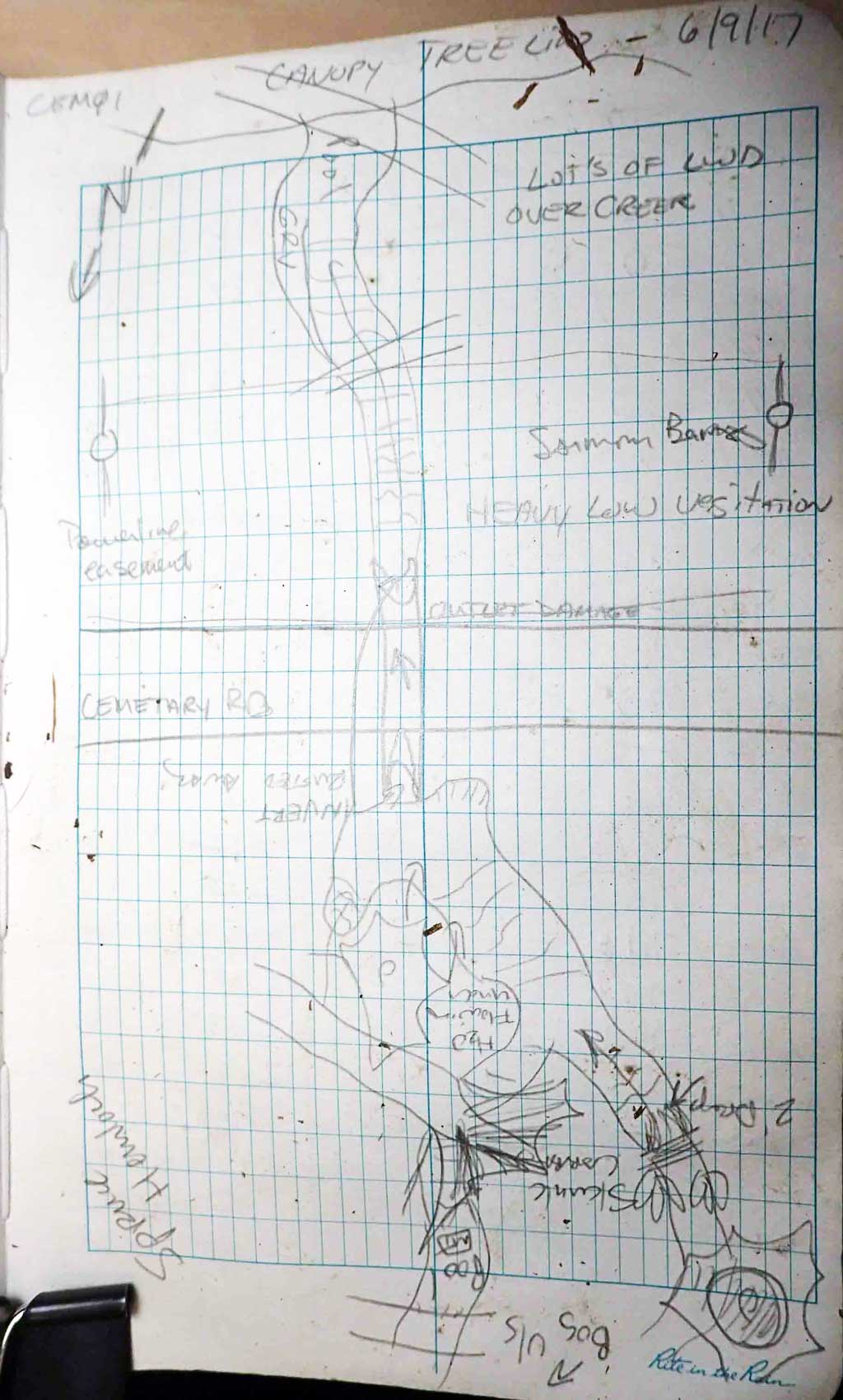
Road Name: Cemetary Road
Datum: NAD83
Quad Name / ITM: Craig C-4
AWC Stream #: 103-60-10450-2003
Stream Name: "Cemetary Creek"
Elevation:
Site Comments: None
Survey SEA17-CEM01
Observers: Elizabeth Flory, Mark Eisenman
Overall Fish Passage Rating:
Tidal: No
Backwatered: No
Step Pools: No
Construction Year:
Site Observations:
- Hydraulic flows exceeded capacity
- Culvert gradient gray
- Constriction ratio gray
- Outfall height gray
- Structural Problem
- Mechanical damage or joints parting
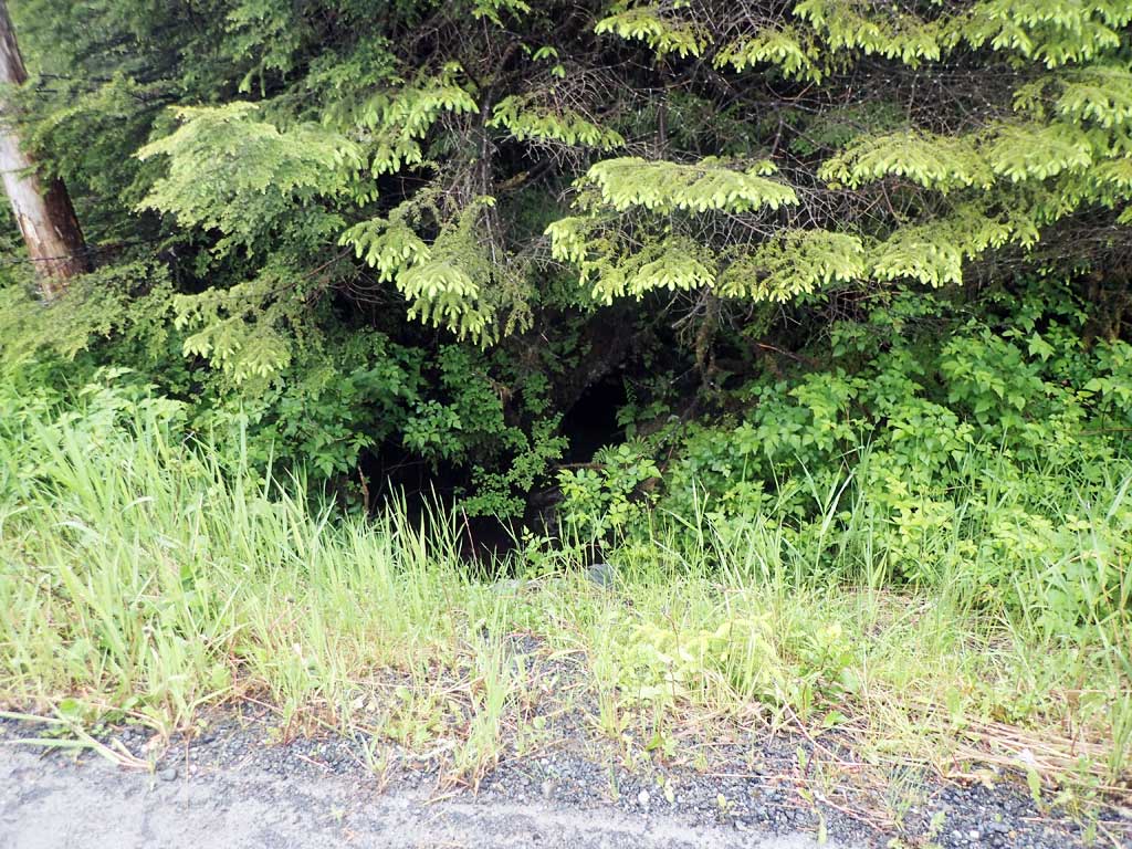
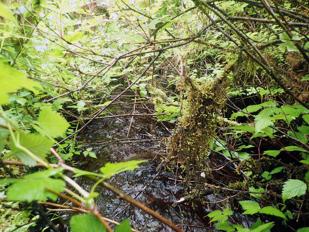
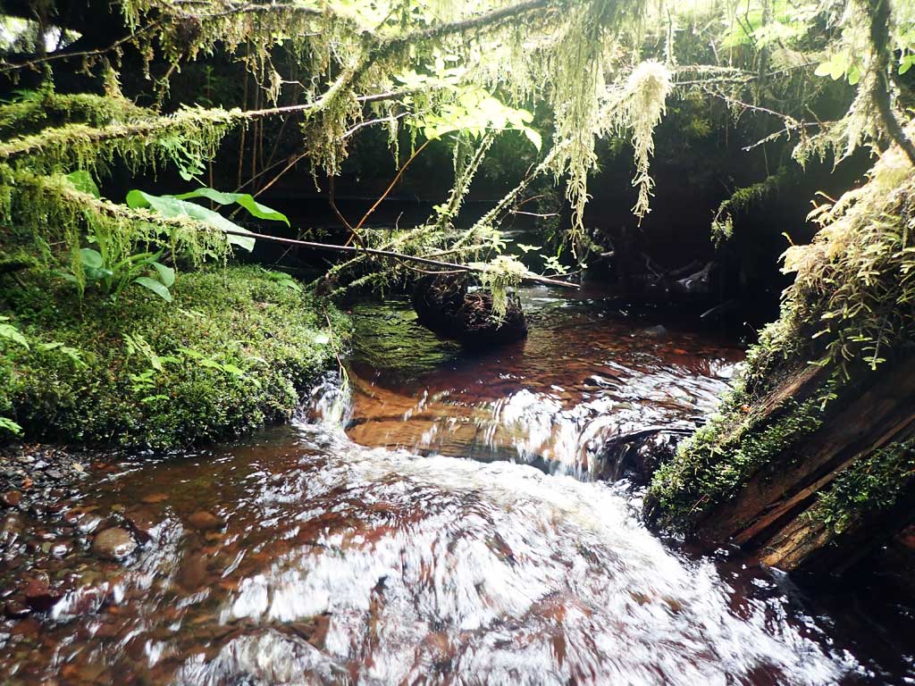
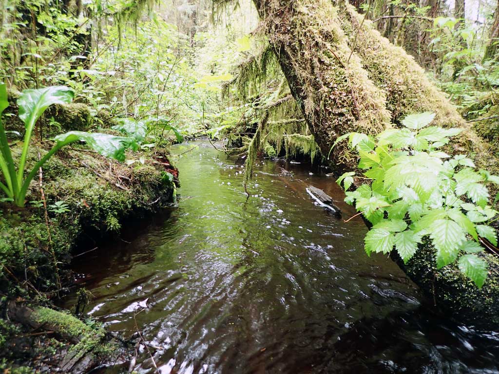
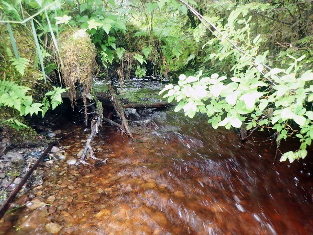
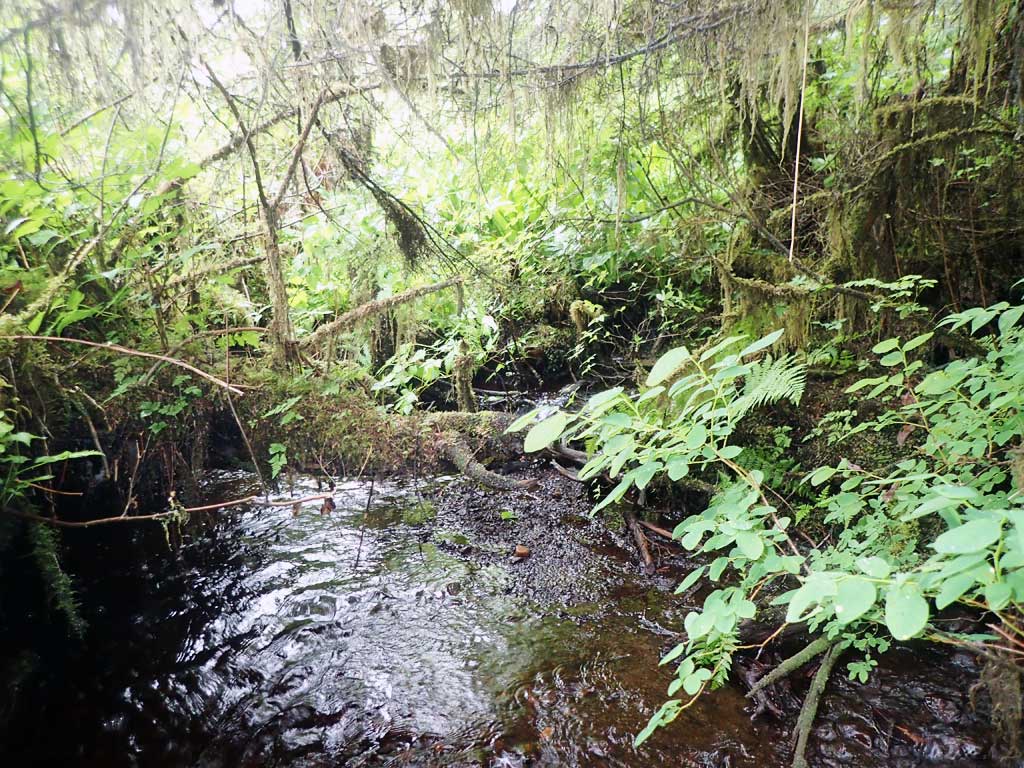
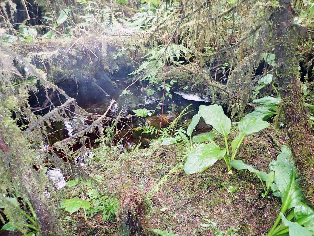
Comments: Channel split 10ft upstream. Took downstream widths as upstream braided. Downstream widths taken close together in section where braids joined but before another tributary comes in. Lots of large woody debris over creek.
Culvert Measurements
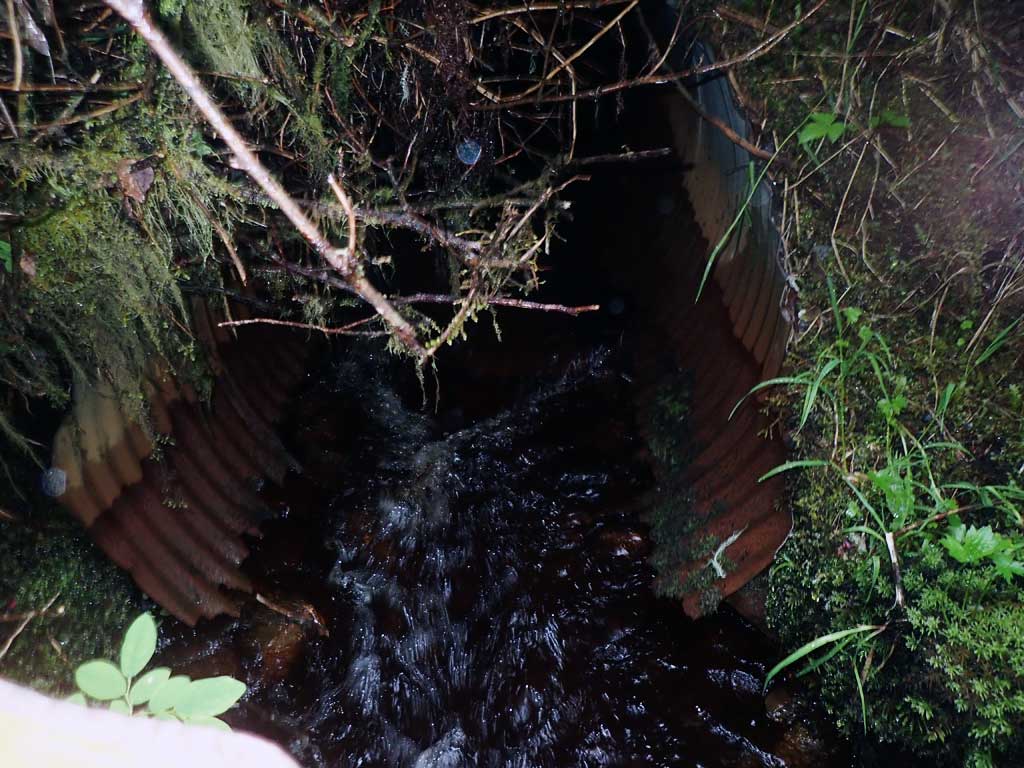
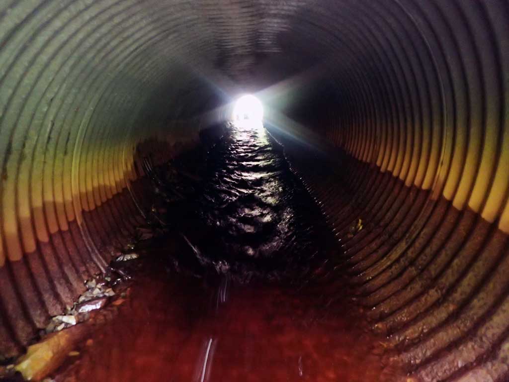
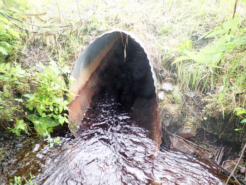
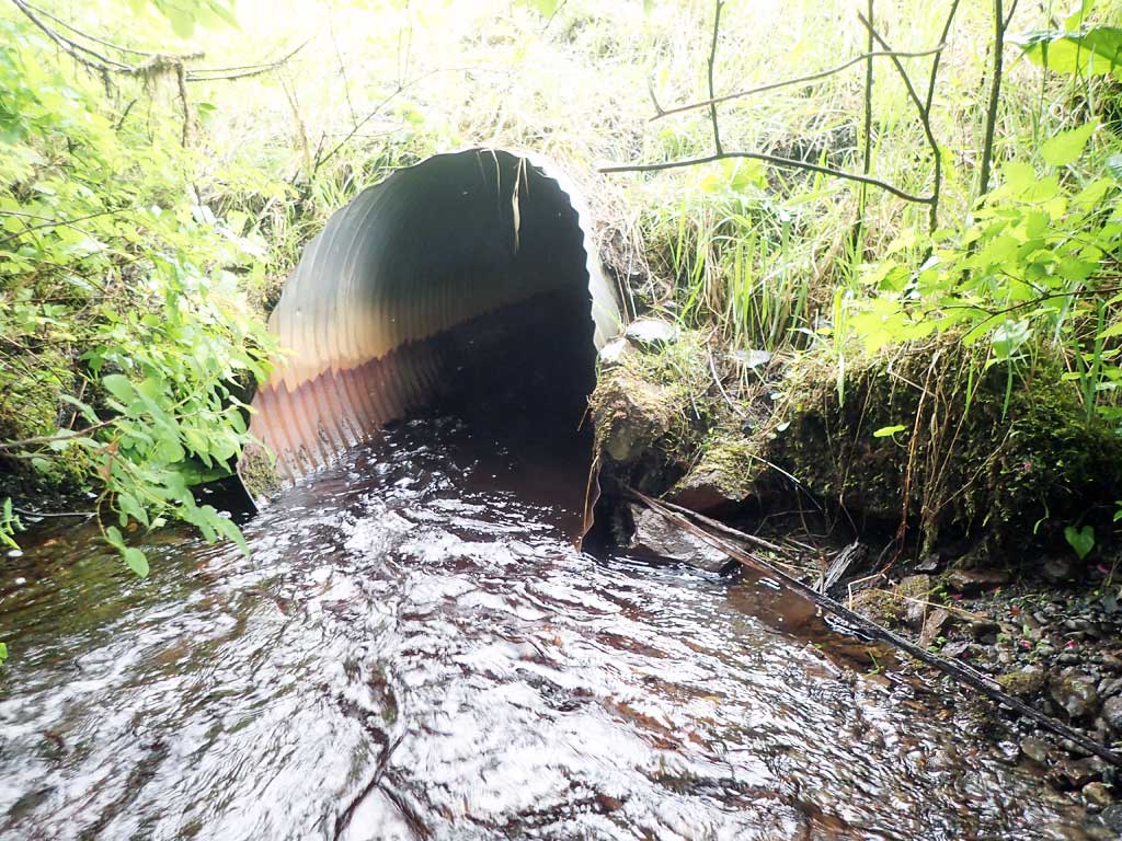
| ID: 1 | Structure Type: Circular pipe (Corrugated steel) | Fish Passage Rating: | |||||||||||||||||||||||||||||||||||||||||
|
|
|
|||||||||||||||||||||||||||||||||||||||||
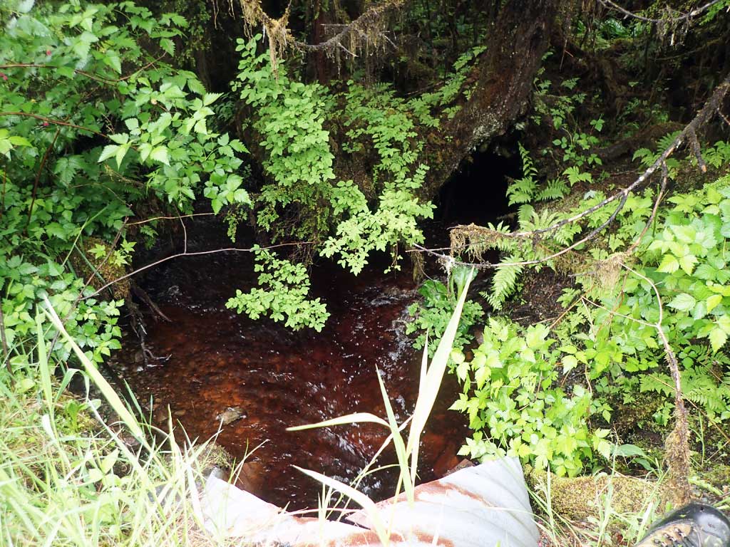
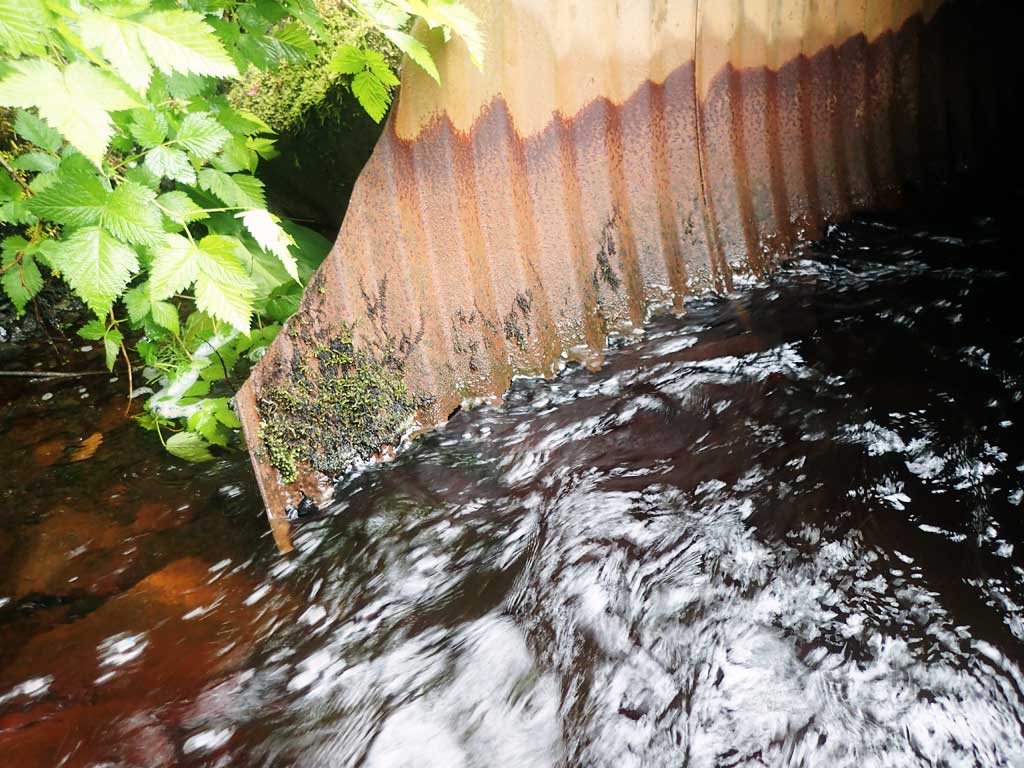
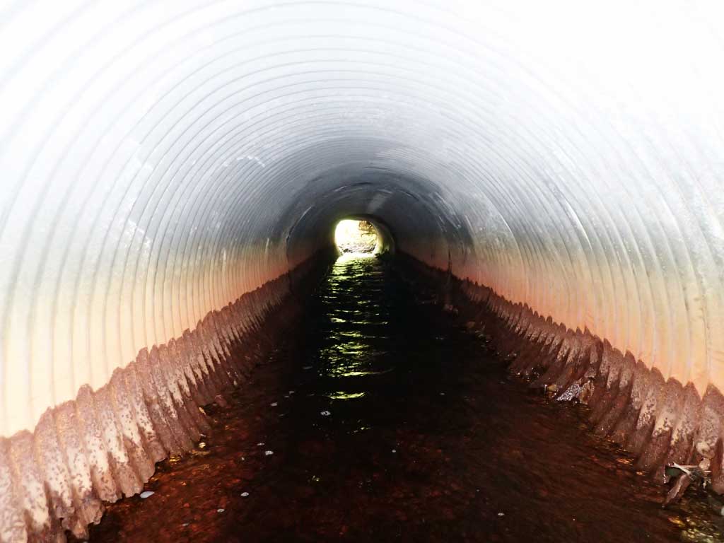
Comments: Bottom of pipe rusted out at outlet. |
|||||||||||||||||||||||||||||||||||||||||||
Culvert Observations:
|
|||||||||||||||||||||||||||||||||||||||||||
Stream Measurements
|
|
| Stream Width Type | Distance From Crossing (ft) |
Stream Width (ft) |
|---|---|---|
| Downstream ordinary high water | 80.0 | 6.30 |
| Downstream ordinary high water | 90.0 | 6.50 |
| Downstream ordinary high water | 100.0 | 7.50 |
Elevations
| Locator ID | Culvert Number |
River Distance (ft)1 |
Distance From Crossing (ft)2 |
Relative Elevation (ft) |
|---|---|---|---|---|
| Road Elev | 105.19 | |||
| D/S Grade Ctrl (Thalweg) | 0.00 | 95.70 | ||
| D/S Water Surface Elev | 0.00 | 95.94 | ||
| D/S Water Surface Elev | 7.00 | 96.05 | ||
| D/S Grade Ctrl (Thalweg) | 7.00 | 95.75 | ||
| Outlet Invert (on substrate as pipe disintegrated) | 20.00 | 95.59 | ||
| D/S Water Surface Elev | 20.00 | 96.48 | ||
| D/S Water Surface Elev | 23.00 | 96.42 | ||
| D/S Thalweg | 23.00 | 95.87 | ||
| D/S Thalweg (pipe below mitre) | 24.00 | 96.19 | ||
| D/S Water Surface Elev | 24.00 | 96.50 | ||
| Outlet Culvert Top | 24.00 | 100.00 | ||
| Inlet Culvert Top | 70.10 | 100.28 | ||
| U/S Water Surface Elev | 70.10 | 97.10 | ||
| U/S Thalweg (substrate below mitre as pipe rusted out) | 70.10 | 96.16 | ||
| Inlet Culvert Invert (on substrate as pipe rusted out) | 74.10 | 96.39 | ||
| U/S Water Surface Elev | 74.10 | 97.14 | ||
| U/S Water Surface Elev | 78.10 | 97.20 | ||
| U/S Thalweg (upstream confluence) | 78.10 | 96.91 |
Notes:
- River distance is measured continuously throughout the survey reach along the thalweg of the stream.
- Measured from each end of the crossing along the thalweg of the stream.
Fish Sampling Efforts
| Gear Type: Minnow Trap (A) | Trap Duration(h): 1.75 | |
| Comments: trap reset overnight, no fish | ||
| Gear Type: Minnow Trap (B) | Trap Duration(h): 2.0 | |
| Comments: 1 coho, 1 dolly caught, traps reset overnight but no more caught | ||
Fish Observations
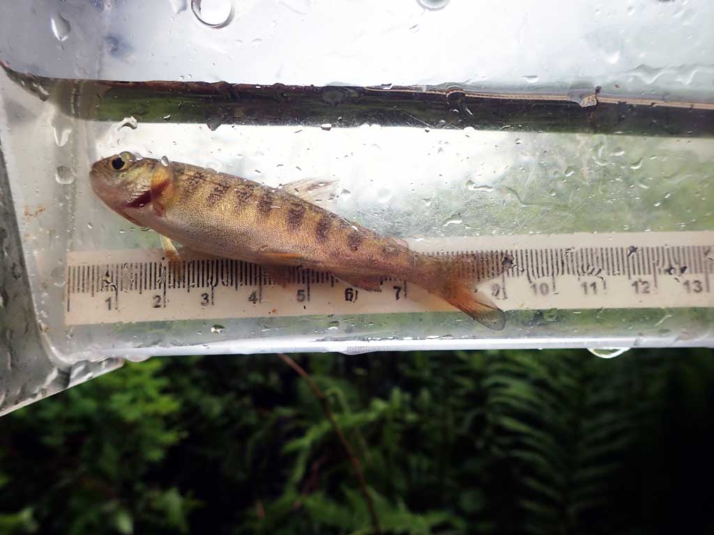
| Species: juvenile coho salmon | Life History: | ||
| Total Fish Observed: 1 | Fish Measured: 1 | Fork Lengths (mm) Min: 82 Max: 82 Mean: 82 | |
| Collected/Observed by Gear Type: Downstream Minnow Trap (1) | |||
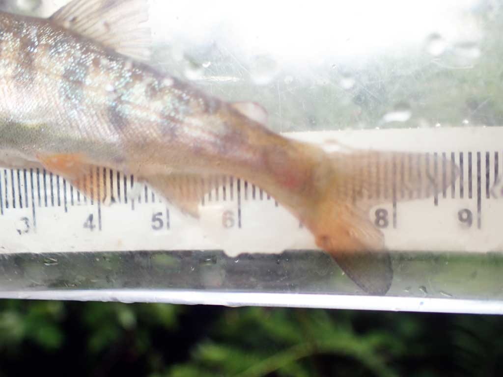
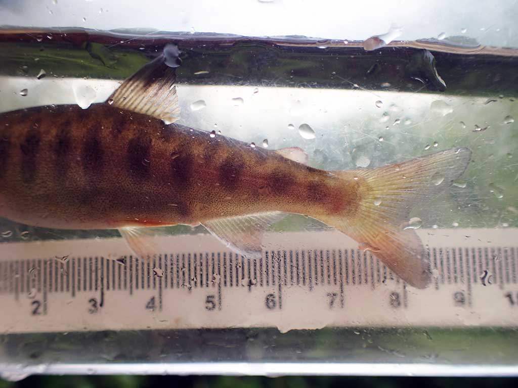
| Species: juvenile Dolly Varden | Life History: | ||
| Total Fish Observed: 1 | Fish Measured: 1 | Fork Lengths (mm) Min: 155 Max: 155 Mean: 155 | |
| Collected/Observed by Gear Type: Downstream Minnow Trap (1) | |||
Photos


Questions or comments about this report can be directed to dfg.dsf.webmaster@alaska.gov