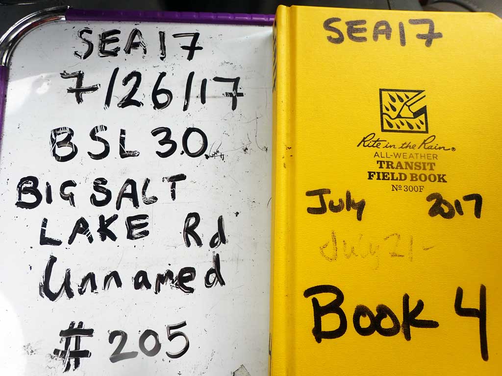
Fish Passage Site 10103546
Coordinates (dec. deg.): 55.62292°, -132.97083°
Legal Description: C072S081E15
Region: Southeast
Road Name: Big Salt Lake Road
Datum: NAD83
Quad Name / ITM: Craig C-3
AWC Stream #: 103-60-10330
Stream Name: Unnamed
Elevation:
Site Comments: None
Survey SEA17-BSL30
Observers: Elizabeth Flory, Kelly Petty
Overall Fish Passage Rating:
Tidal: No
Backwatered: No
Step Pools: No
Construction Year:
Site Observations:
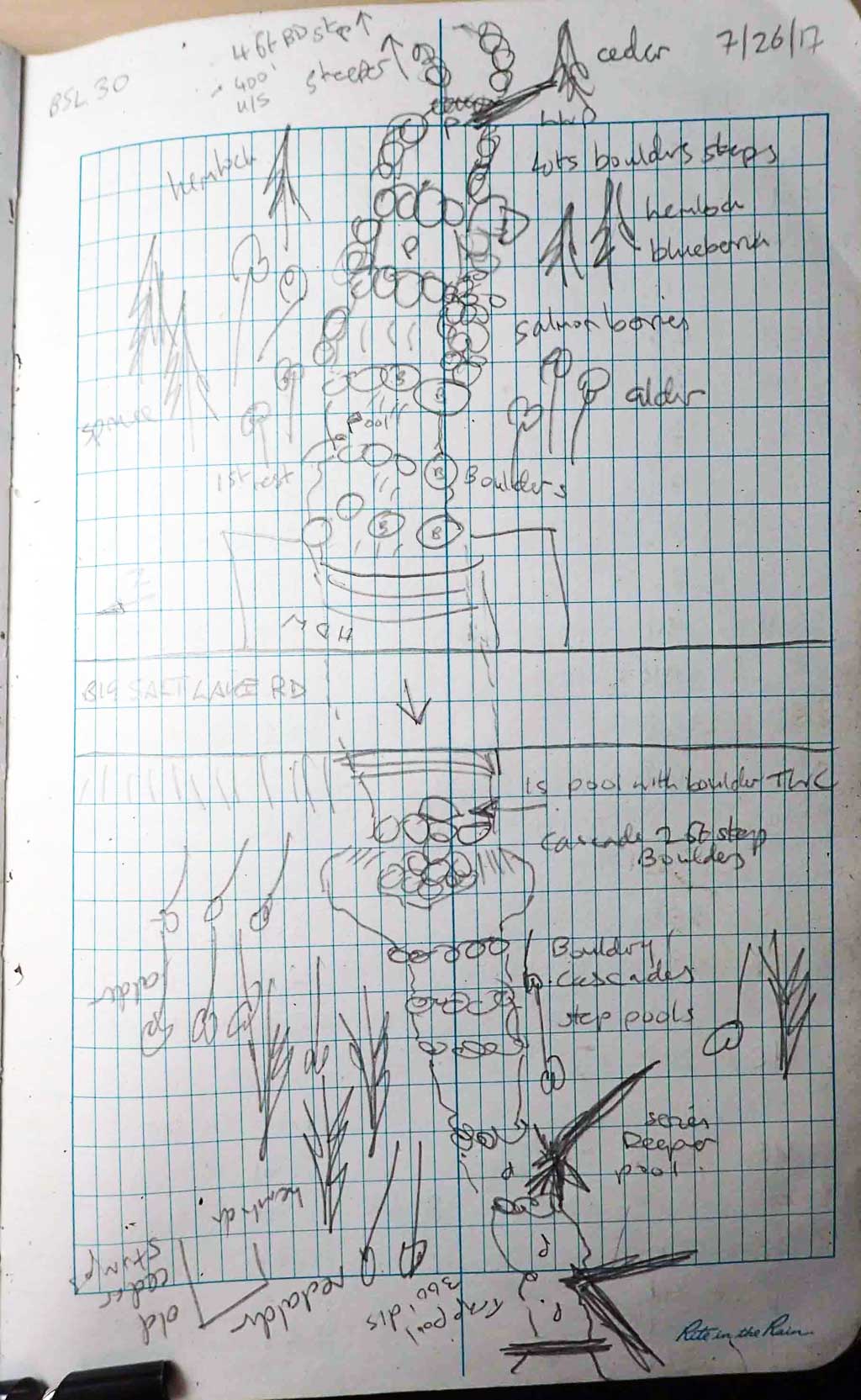
- Compound gradient in pipe
- Culvert gradient red
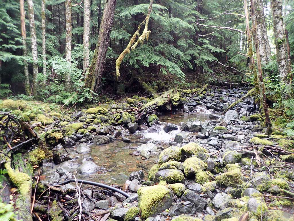
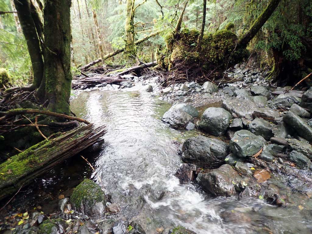
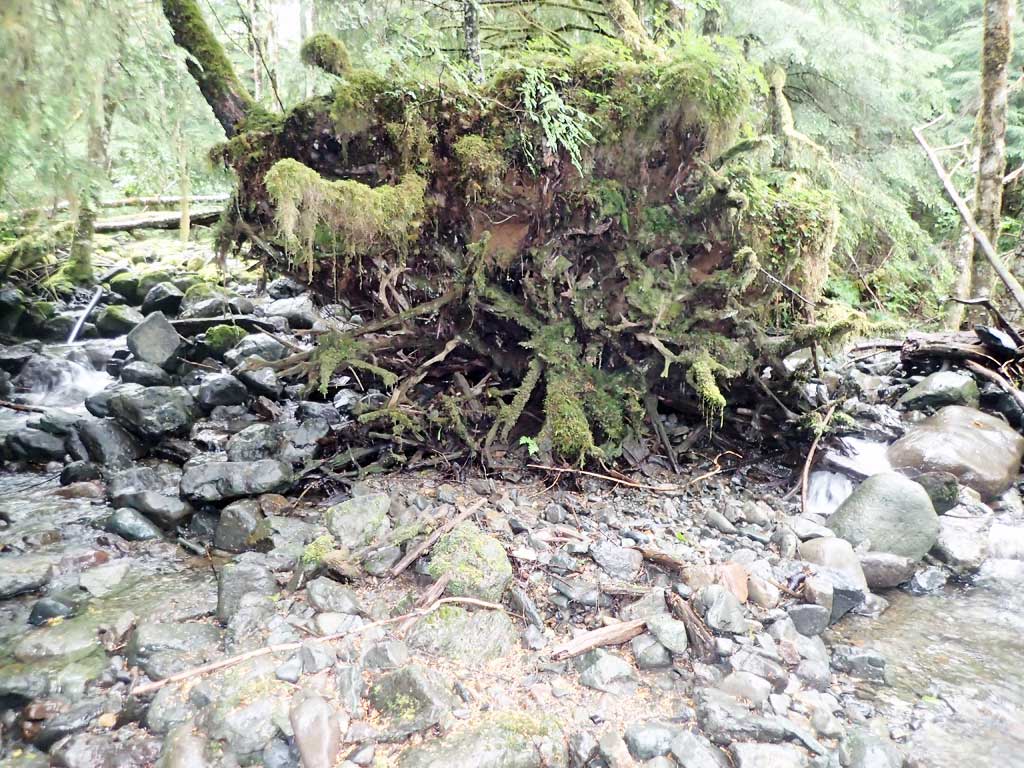
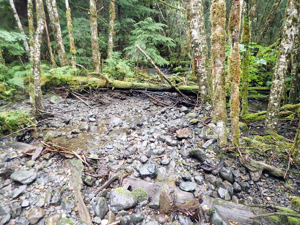
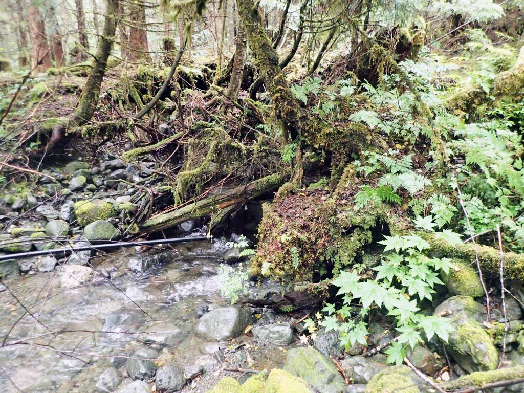
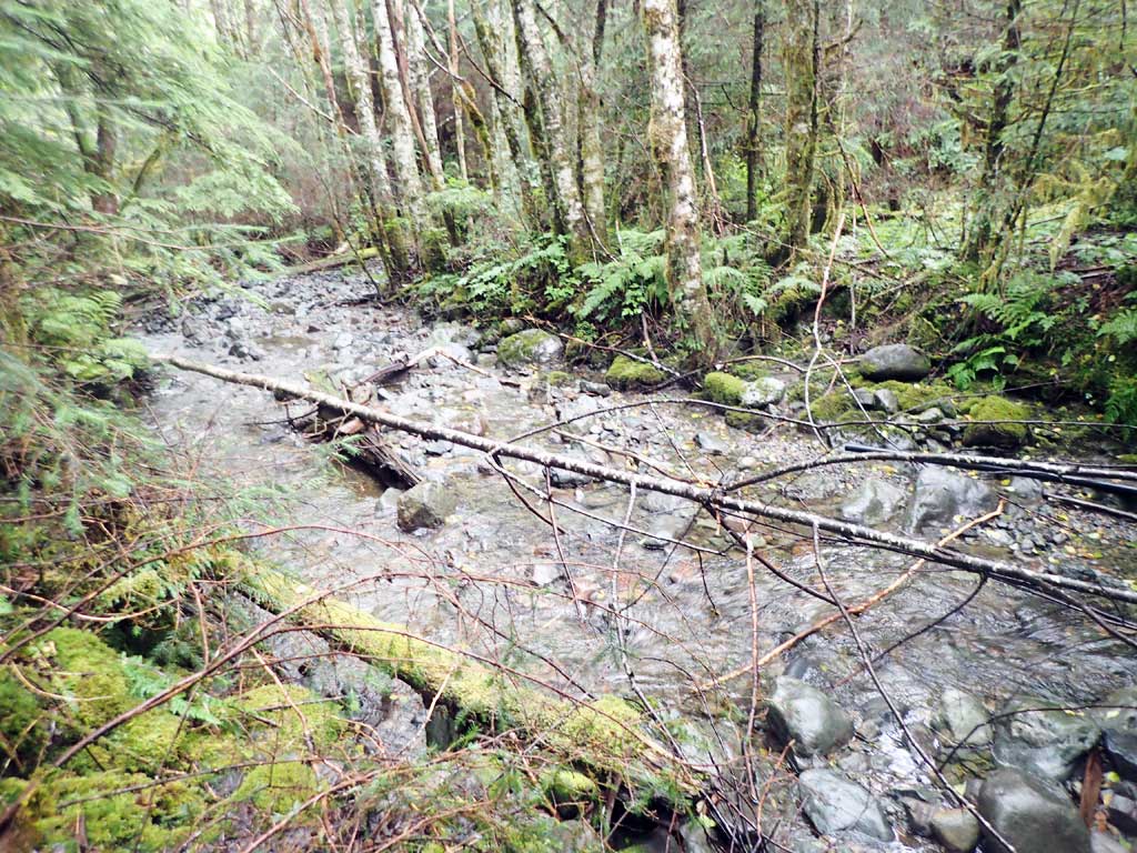
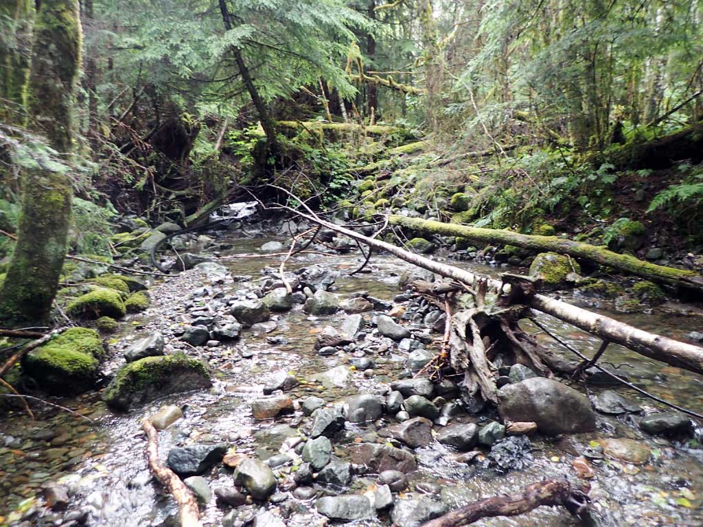
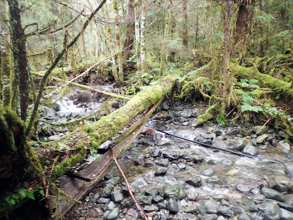
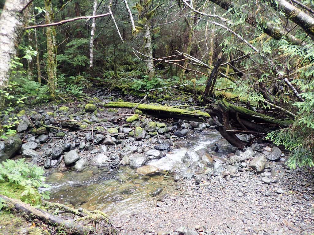
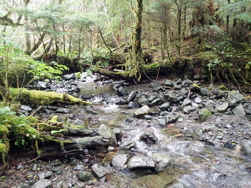
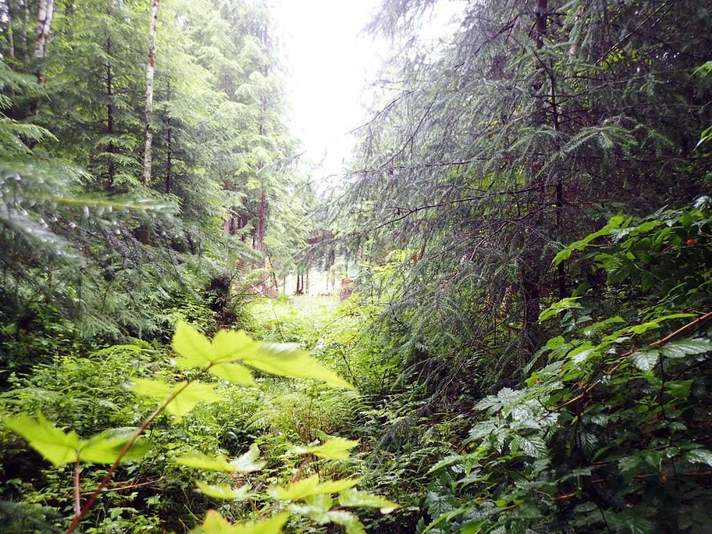
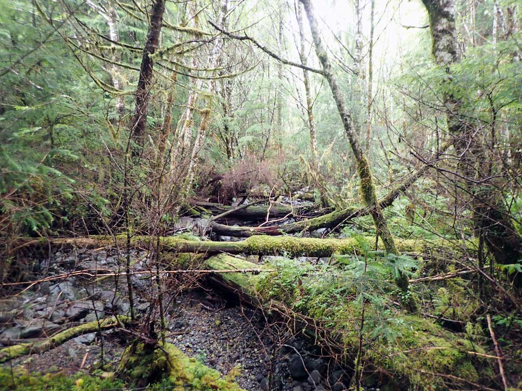
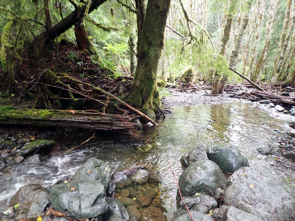
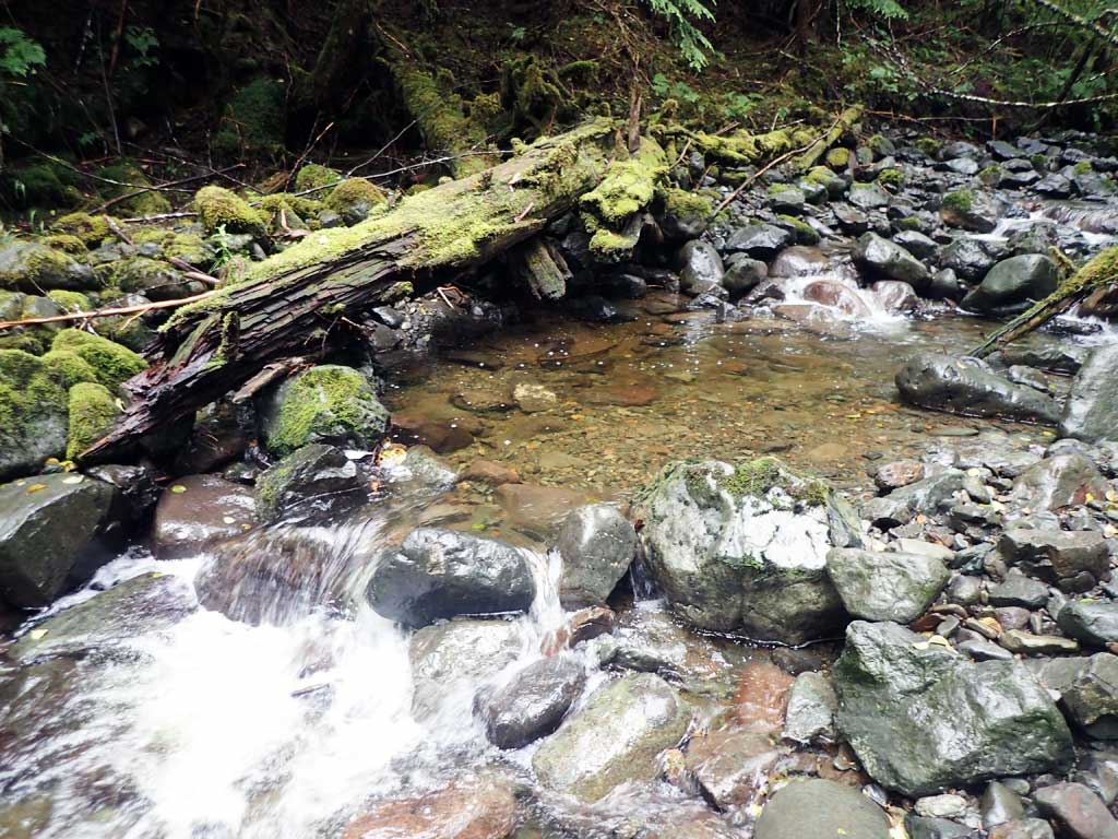
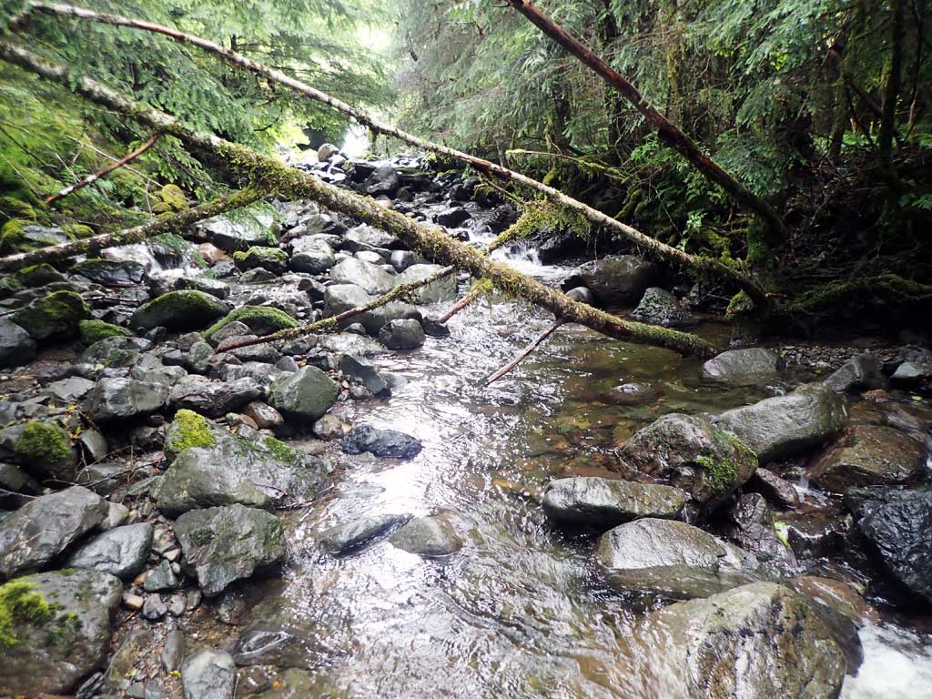
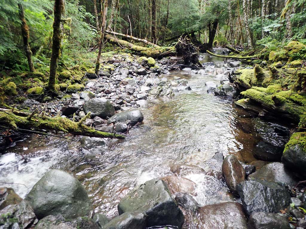
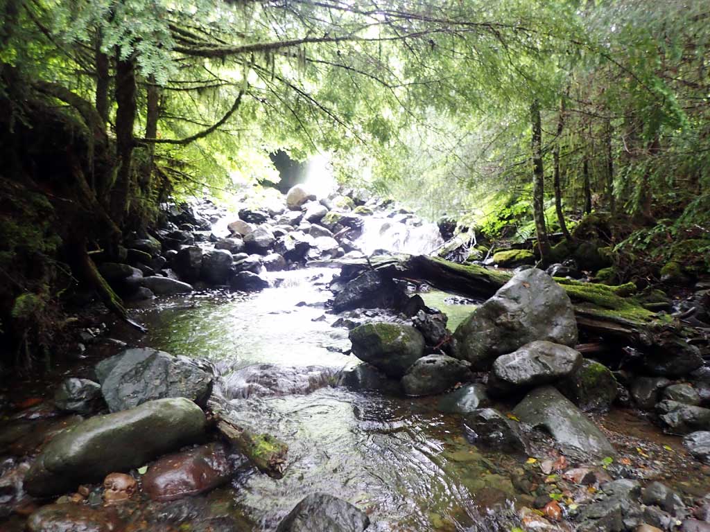
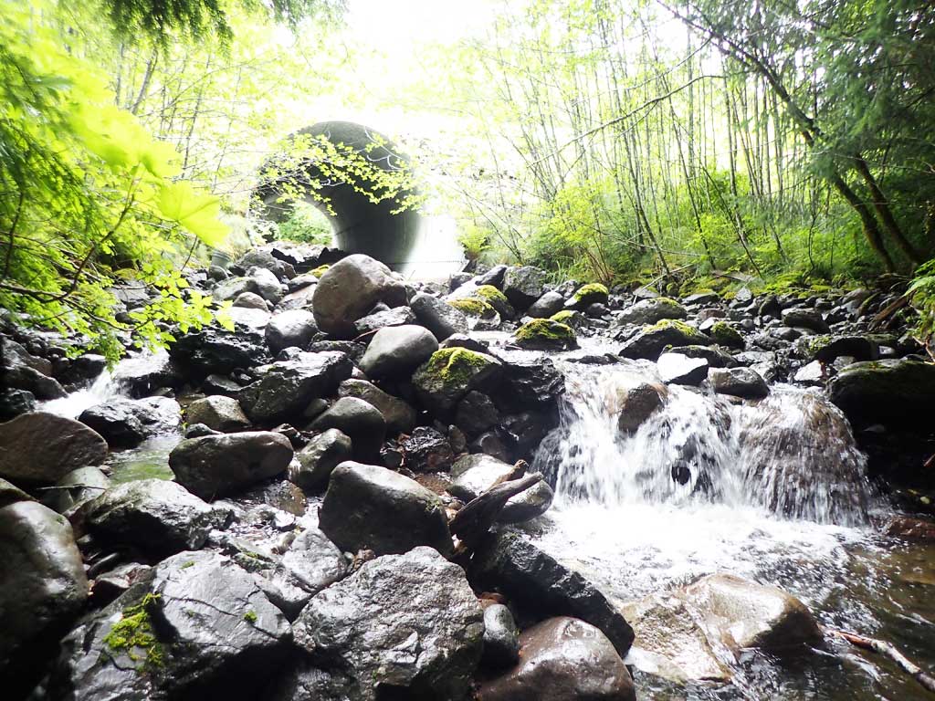
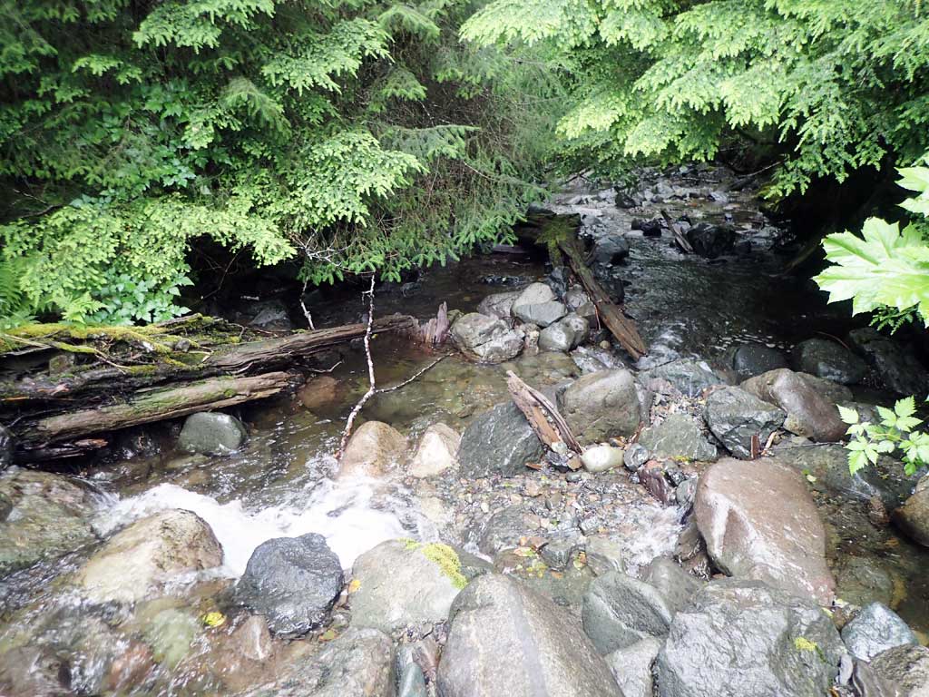
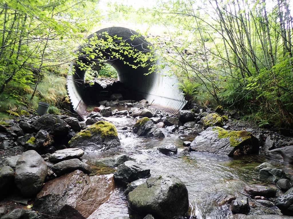
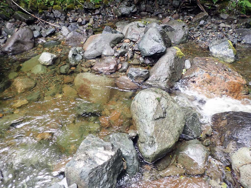
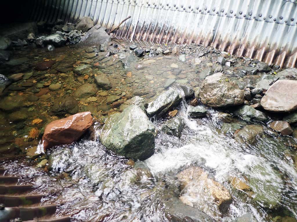
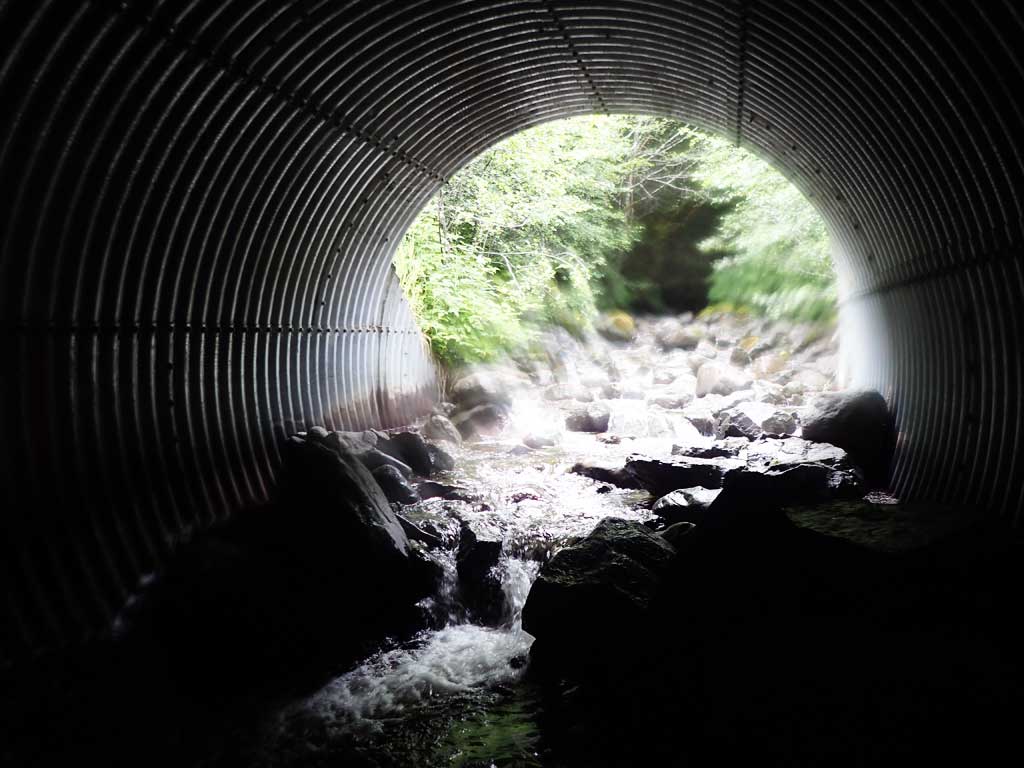
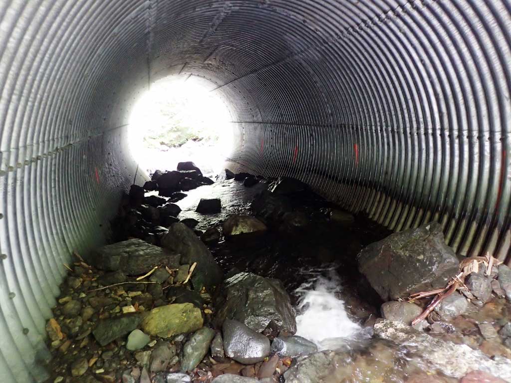
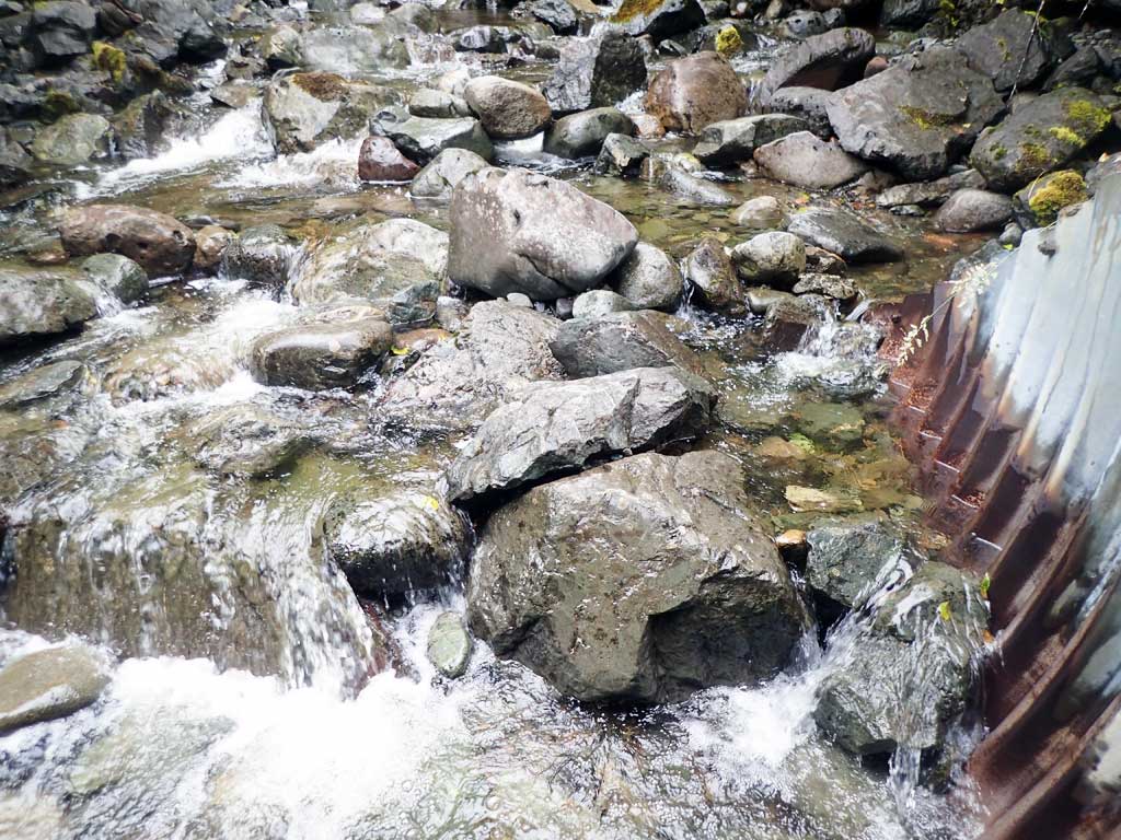
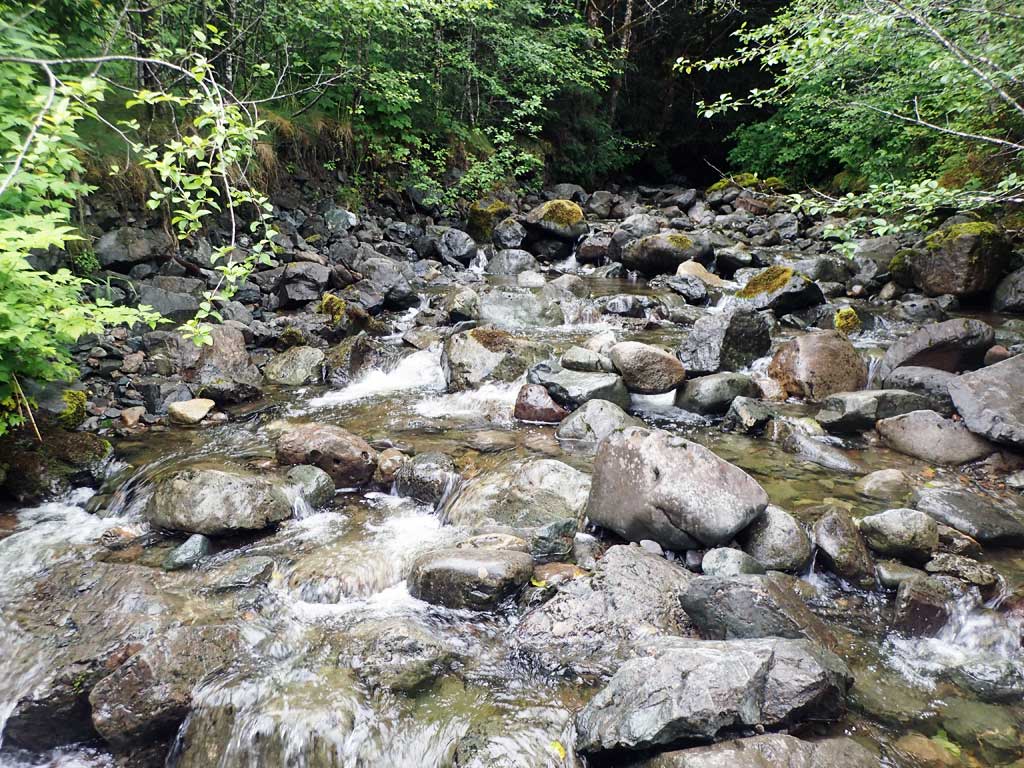
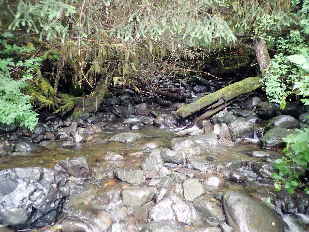
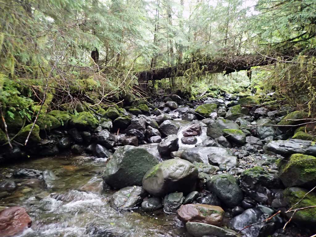
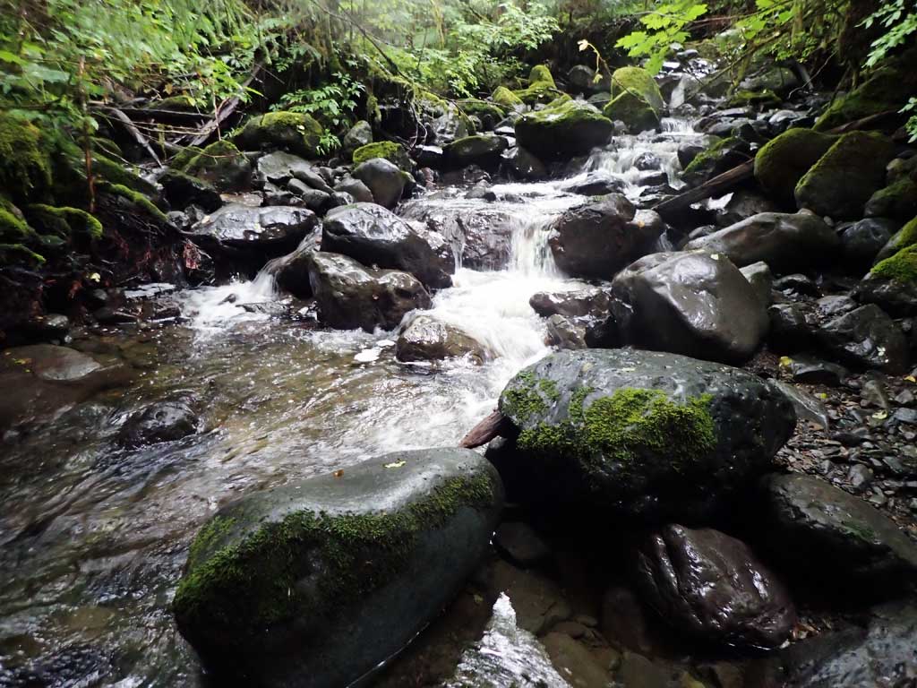
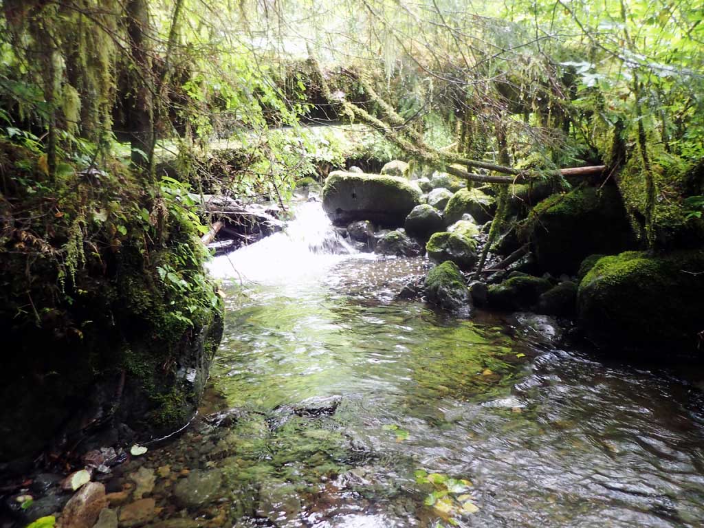
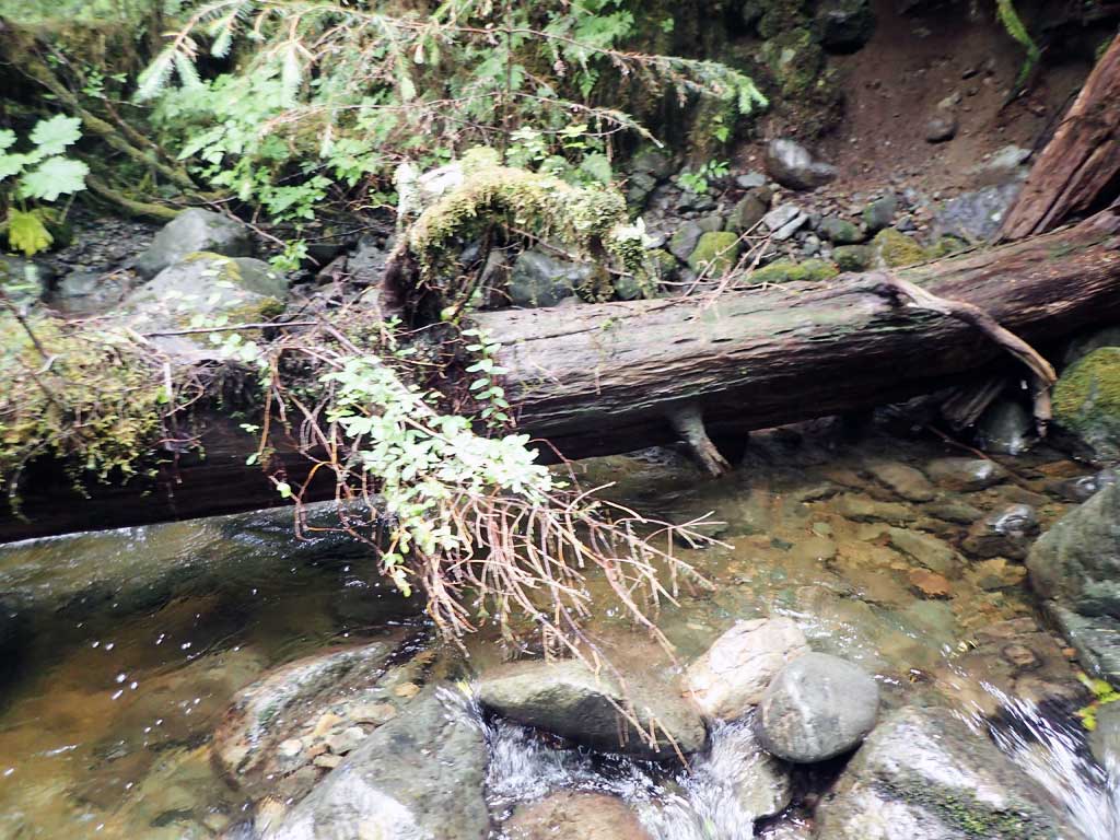
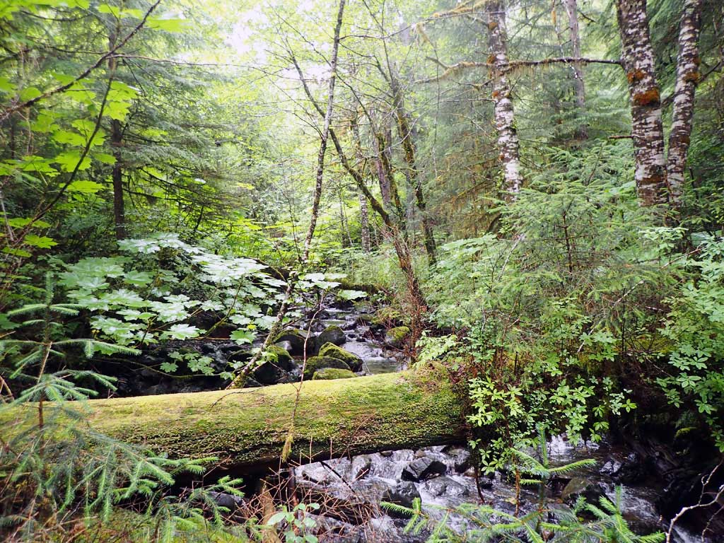
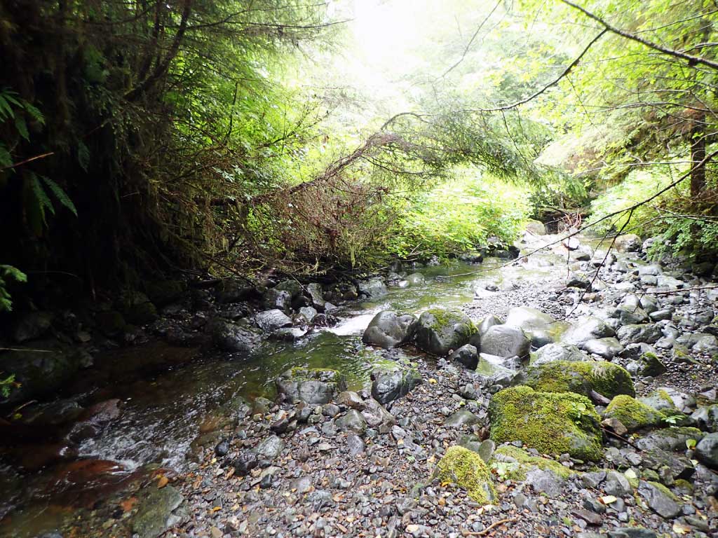
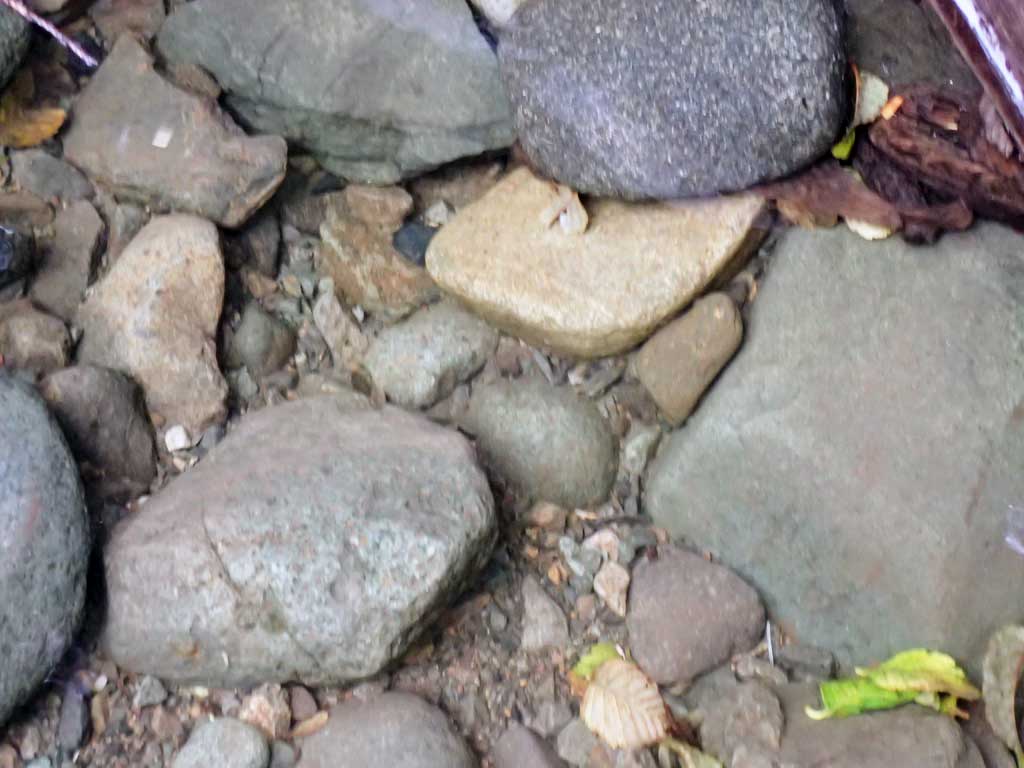
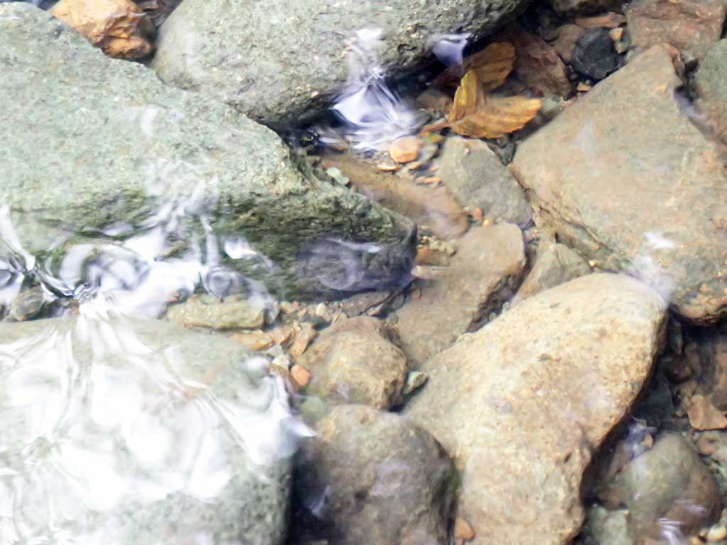
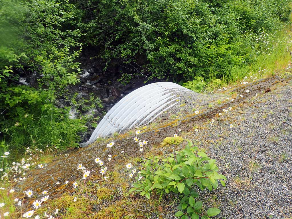
Comments: Steep bouldery cascades upstream, 4ft high boulder step at 400ft upstream. Downstream boulder step cascades and nice deep pools with large woody debris. 10.7% gradient upstream and gets steeper. Observed tiny dolly varden fry 20ft downstream from outlet. Current gradient through pipe on substrate is 8.75% and water surface gradient through culvert is 9.72% which is close to the measured downstream gradient of 8.33% and the measured upstream gradient of 10.70, however culvert was set at 3.32% calculated from top of pipe elevations. Had culvert still been embedded it would have rated as gray for not being embedded to within 1% of stream gradient.
Culvert Measurements
| ID: 1 | Structure Type: Circular pipe (Structural steel plate) | Fish Passage Rating: | |||||||||||||||||||||||||||||||||||||||||
|
|
|
|||||||||||||||||||||||||||||||||||||||||
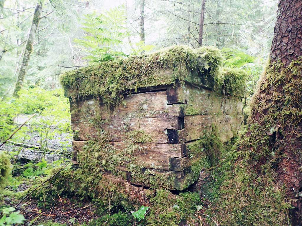
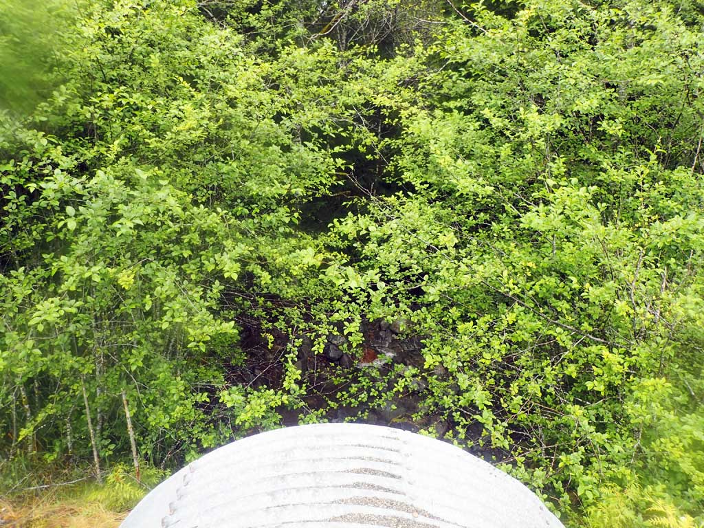
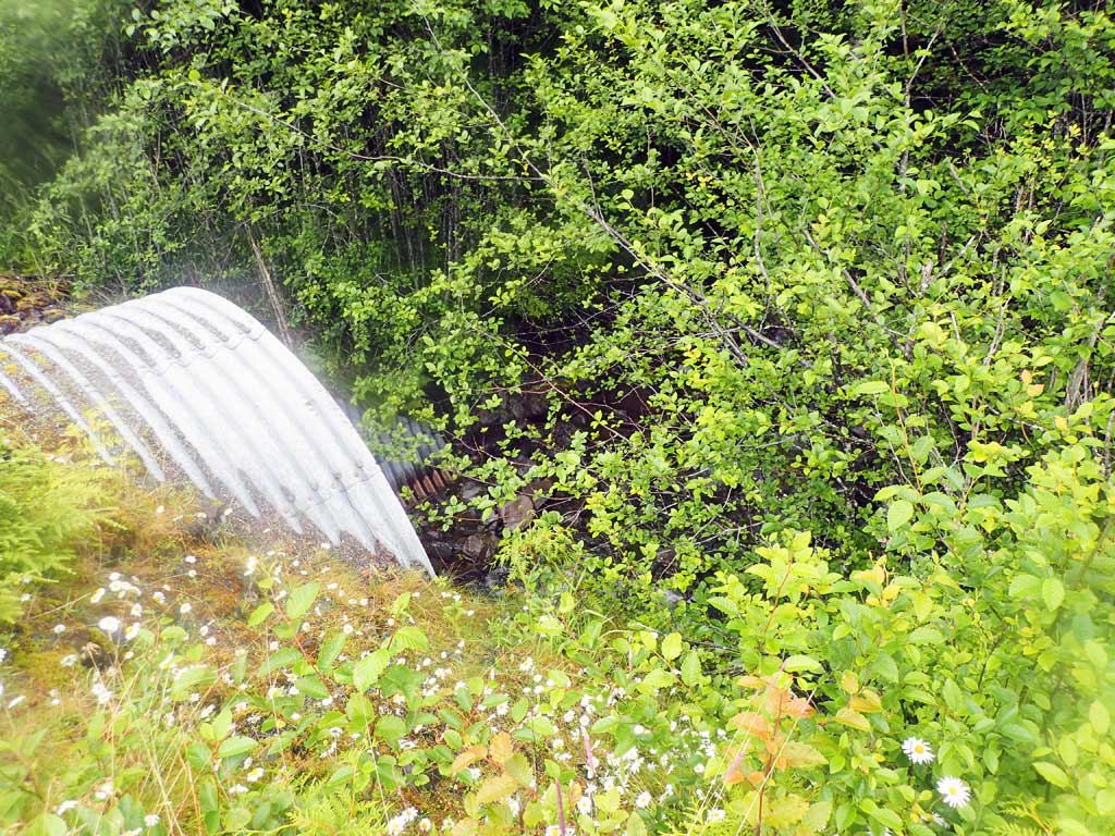
Comments: Inlet is mitred with concrete headwall. Pipe slope includes 2ft and 1ft high boulder steps. Too dark in pipe to survey gradient breaks. Spray paint lines inside culvert look to mark level or substrate that was installed in culvert. Most of the substrate from the lower half has been scoured away and culvert is no longer embedded. Large boulders in middle of culvert create 1-2 ft cascades and may now be a partial barrier to juvenile movement. |
|||||||||||||||||||||||||||||||||||||||||||
Culvert Observations:
|
|||||||||||||||||||||||||||||||||||||||||||
Stream Measurements
|
|
| Stream Width Type | Distance From Crossing (ft) |
Stream Width (ft) |
|---|---|---|
| Upstream ordinary high water | 60.0 | 11.00 |
| Upstream ordinary high water | 80.0 | 14.00 |
| Upstream ordinary high water | 100.0 | 13.00 |
Elevations
| Locator ID | Culvert Number |
River Distance (ft)1 |
Distance From Crossing (ft)2 |
Relative Elevation (ft) |
|---|---|---|---|---|
| Road Elev | 116.55 | |||
| D/S Grade Ctrl (Thalweg) | 0.00 | 90.07 | ||
| D/S Water Surface Elev | 0.00 | 90.57 | ||
| D/S Grade Ctrl (Thalweg) (top of boulder step) | 23.00 | 92.69 | ||
| D/S Water Surface Elev | 23.00 | 93.07 | ||
| D/S Grade Ctrl (Thalweg) (top of boulder step) | 74.00 | 96.65 | ||
| D/S Water Surface Elev | 74.00 | 97.18 | ||
| D/S Water Surface Elev | 86.00 | 98.42 | ||
| D/S Tailcrest or 1st Thalweg (boulders) | 86.00 | 97.26 | ||
| Max Pool Depth | 94.00 | 97.25 | ||
| D/S Water Surface Elev | 94.00 | 98.40 | ||
| D/S Water Surface Elev | 118.00 | 98.88 | ||
| Outlet Invert (on substrate) | 118.00 | 98.03 | ||
| Outlet Culvert Top | 130.00 | 113.10 | ||
| Inlet Culvert Top | 193.00 | 115.19 | ||
| U/S Water Surface Elev | 205.00 | 106.49 | ||
| Inlet Culvert Invert (estimated end of mitre, on substrate) | 205.00 | 105.69 | ||
| U/S Grade Ctrl (Thalweg) | 211.00 | 105.82 | ||
| U/S Water Surface Elev | 211.00 | 106.41 | ||
| U/S Grade Ctrl (Thalweg) | 255.00 | 110.01 | ||
| U/S Water Surface Elev | 255.00 | 110.70 | ||
| U/S Grade Ctrl (Thalweg) | 311.00 | 117.00 | ||
| U/S Water Surface Elev | 311.00 | 117.69 | ||
| U/S Water Surface Elev (steeper riffle cascade above this point) | 321.00 | 118.18 | ||
| U/S Grade Ctrl (Thalweg) | 321.00 | 117.06 |
Notes:
- River distance is measured continuously throughout the survey reach along the thalweg of the stream.
- Measured from each end of the crossing along the thalweg of the stream.
Fish Sampling Efforts
| Gear Type: Minnow Trap (A) | Trap Duration(h): 2.7 | |
| Comments: 100ft upstream, no fish | ||
| Gear Type: Minnow Trap (B) | Trap Duration(h): 2.0 | |
| Comments: 300ft downstream, no fish | ||
| Gear Type: Visual Observation, Ground (C) | ||
| Comments: Observed Dolly Varden fry about 20 feet downstream | ||
Fish Observations
| Species: Dolly Varden | Life History: | ||
| Total Fish Observed: 5 | Fish Measured: | Fork Lengths (mm) Min: Max: Mean: | |
| Collected/Observed by Gear Type: Upstream Minnow Trap (5) | |||
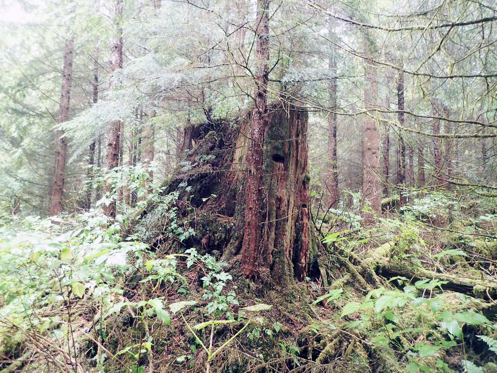
Photos


Questions or comments about this report can be directed to dfg.dsf.webmaster@alaska.gov