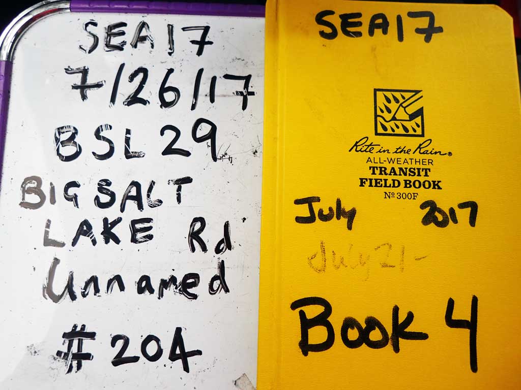
Fish Passage Site 10103545
Coordinates (dec. deg.): 55.62366°, -132.97647°
Legal Description: C072S081E15
Region: Southeast
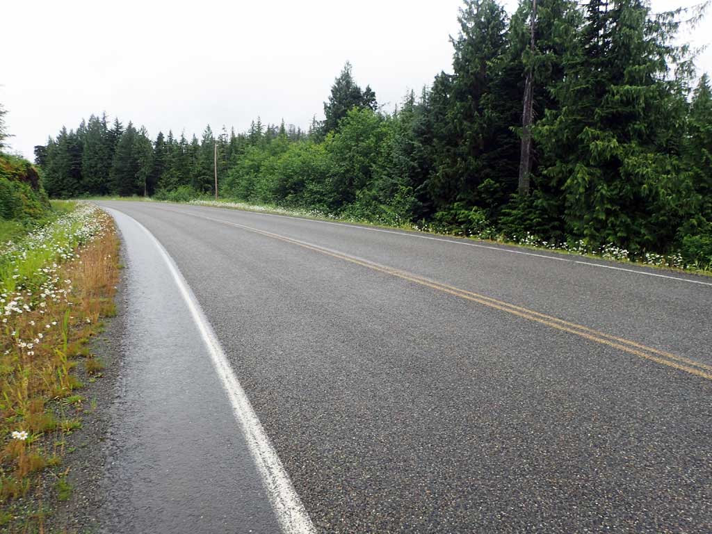
Road Name: Big Salt Lake Road
Datum: NAD83
Quad Name / ITM: Craig C-3
AWC Stream #:
Stream Name: Unnamed
Elevation:
Site Comments: Near Milepost 8.
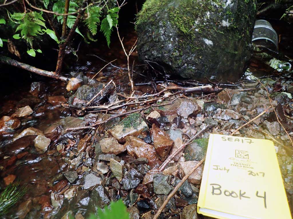
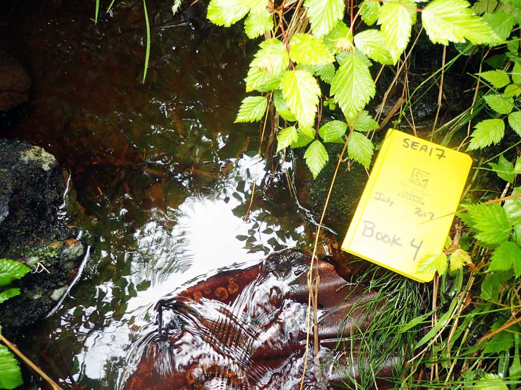
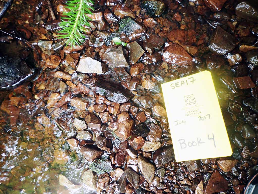
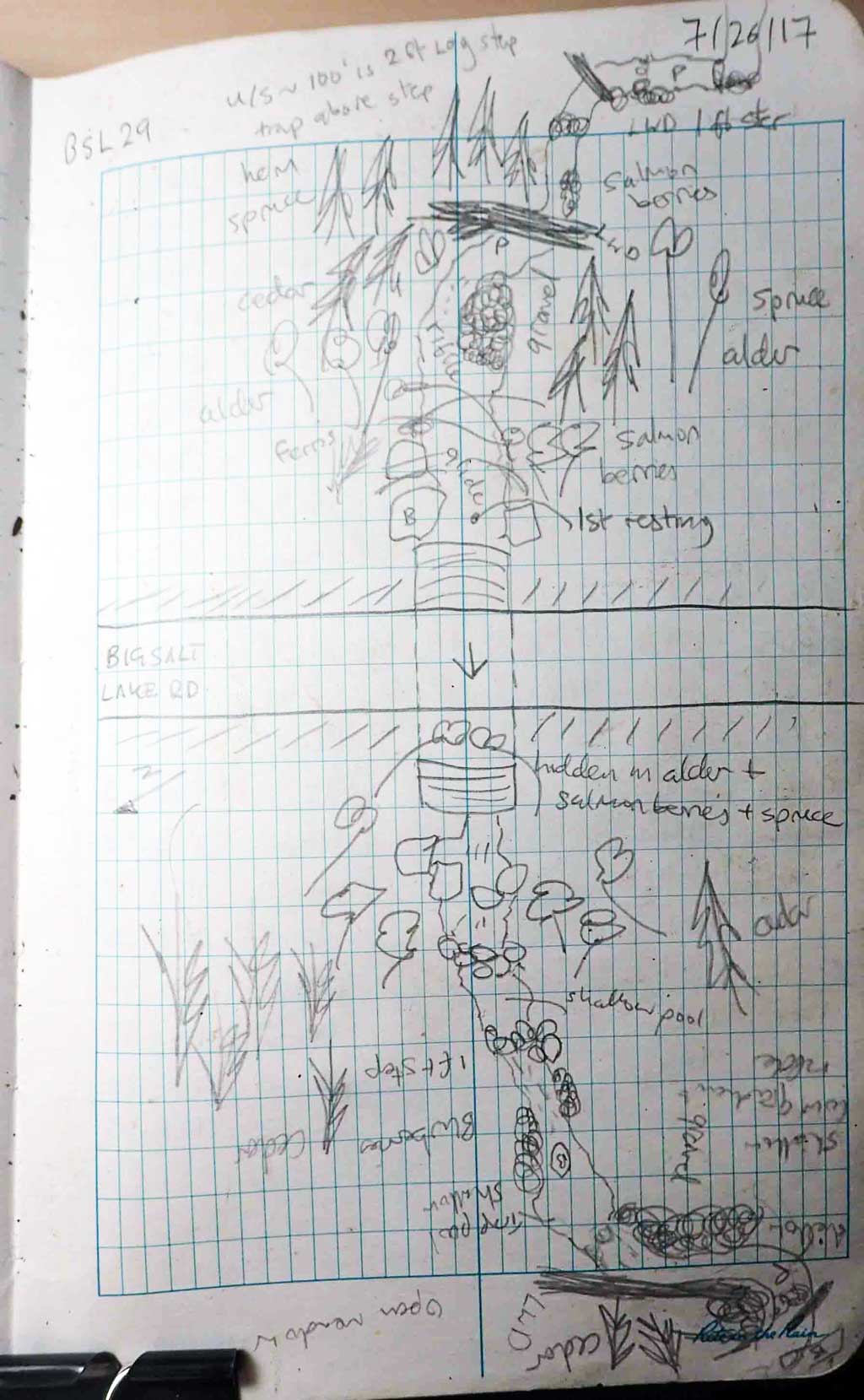
Survey SEA17-BSL29
Observers: Elizabeth Flory, Kelly Petty
Overall Fish Passage Rating:
Tidal: No
Backwatered: No
Step Pools: No
Construction Year:
Site Observations:
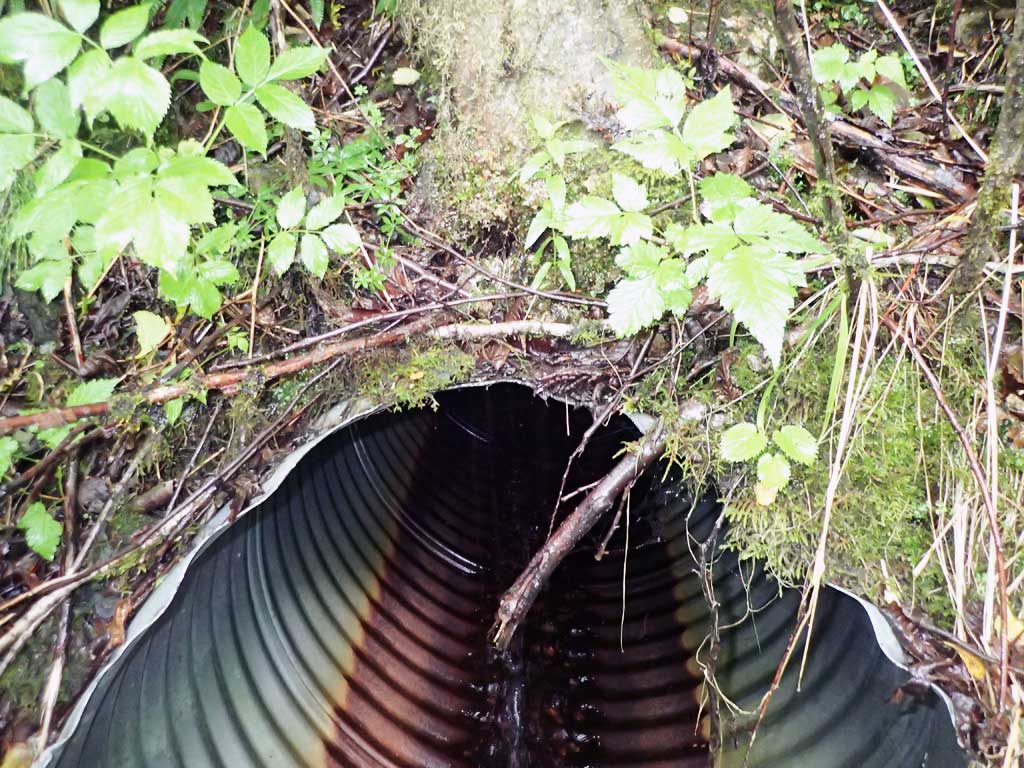
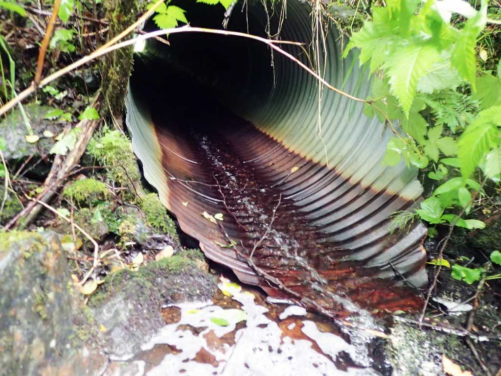
- Culvert gradient red
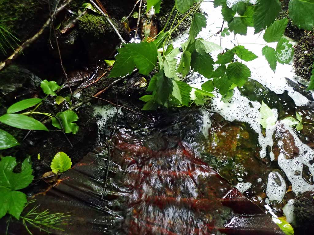
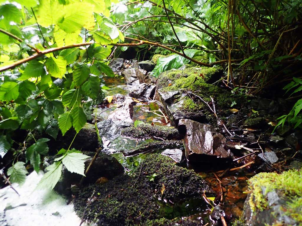
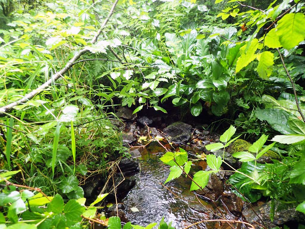
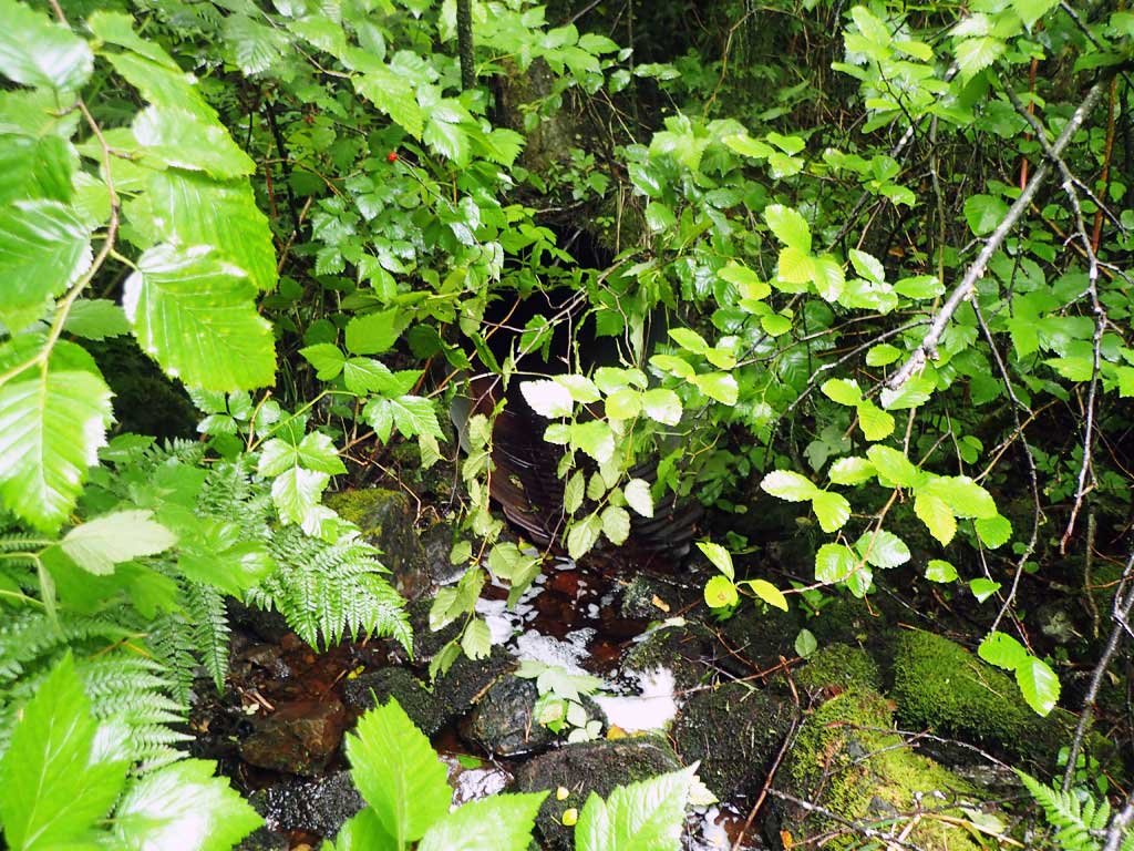
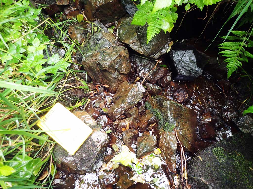
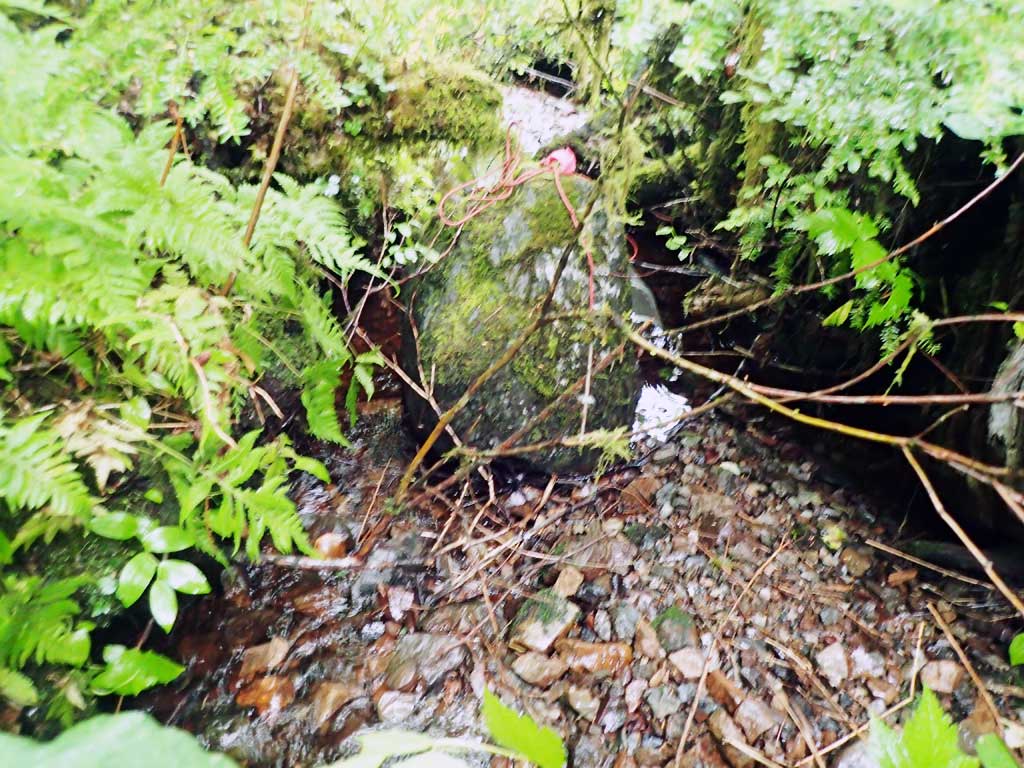
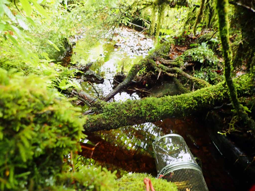
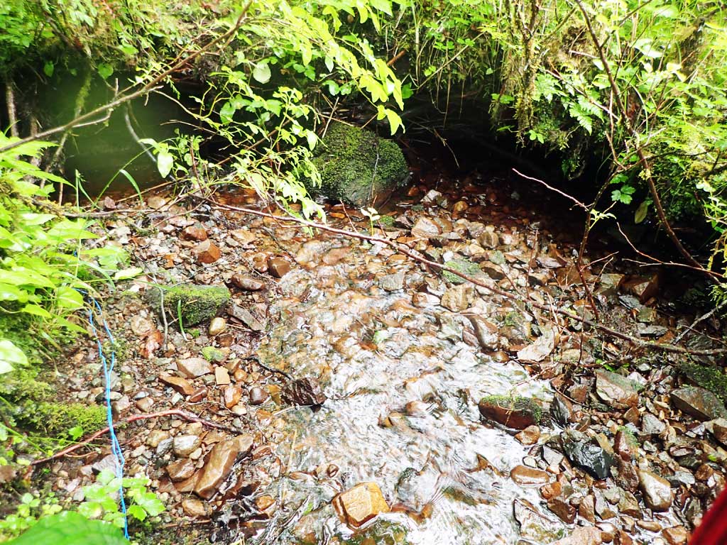
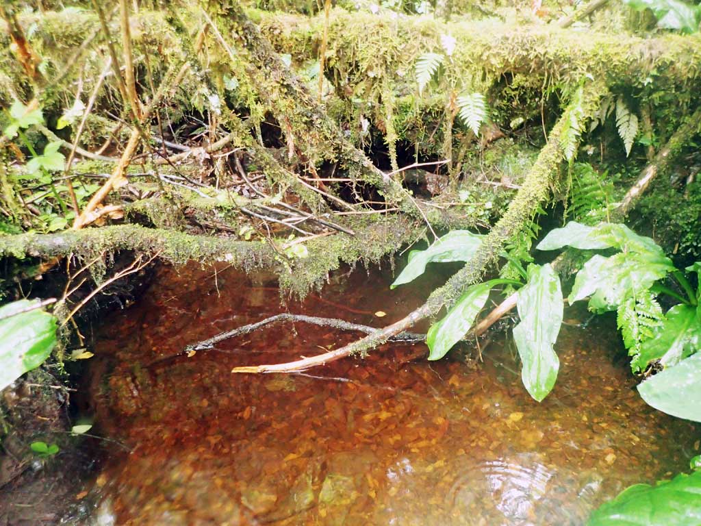
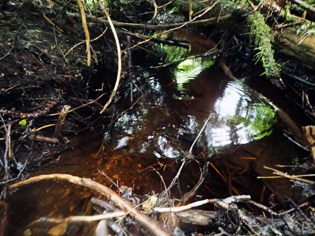
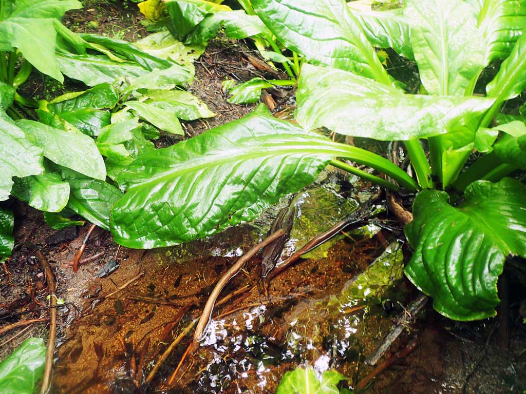
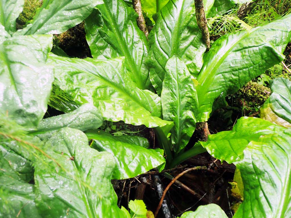
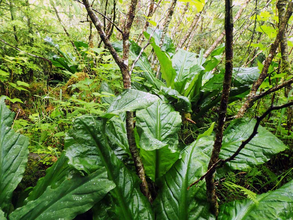
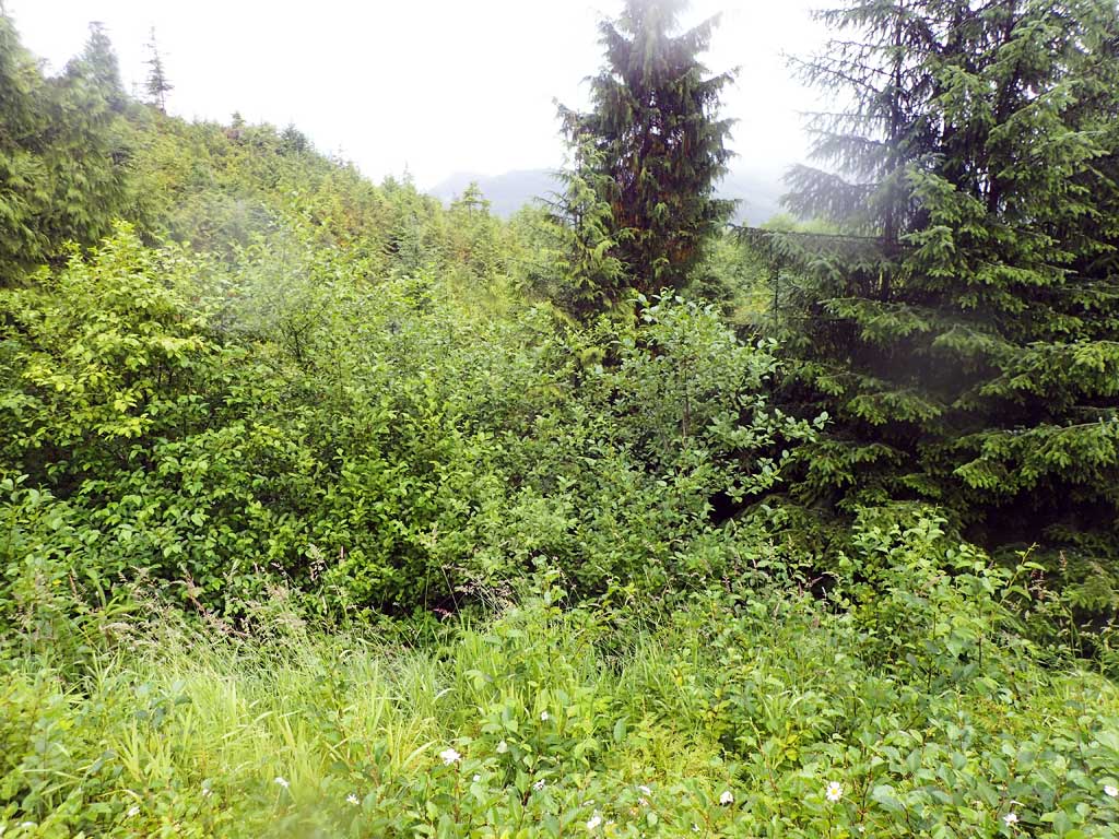
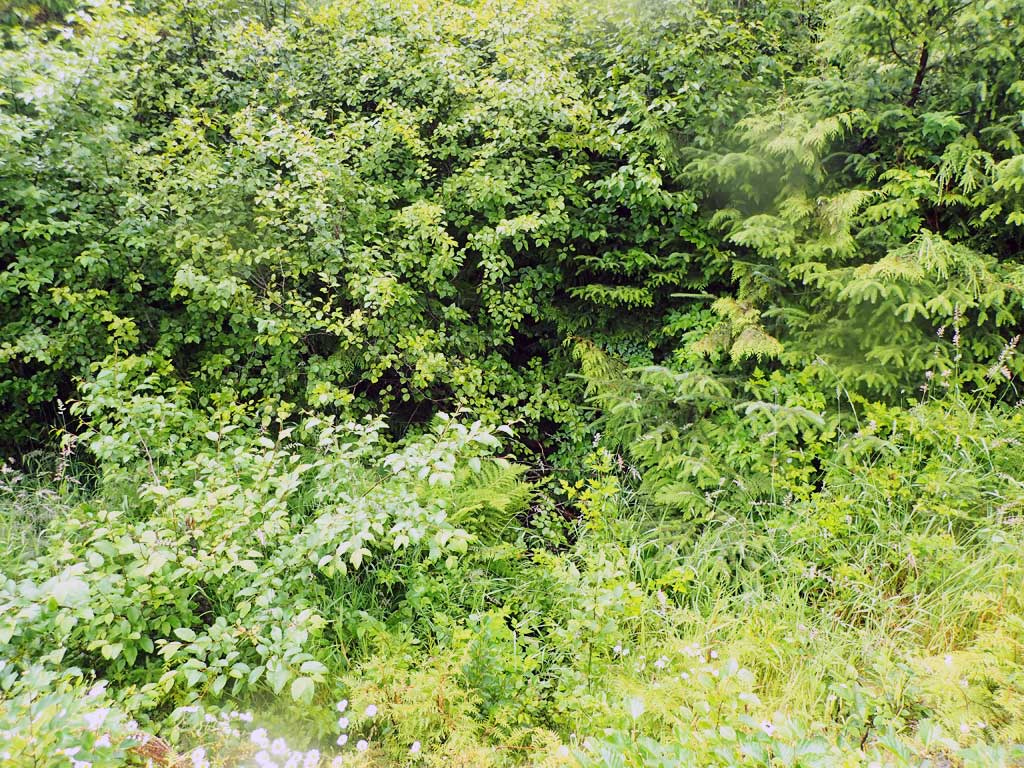
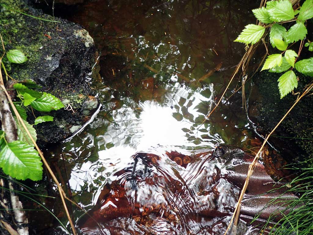
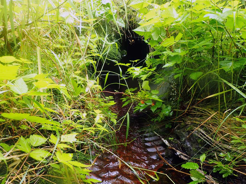
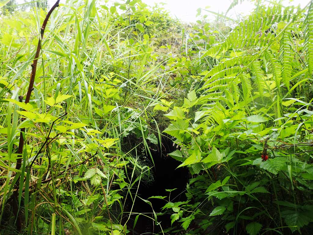
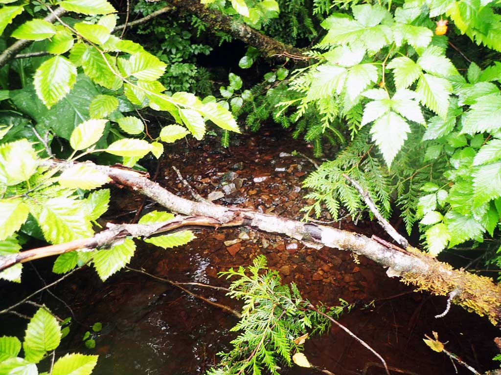
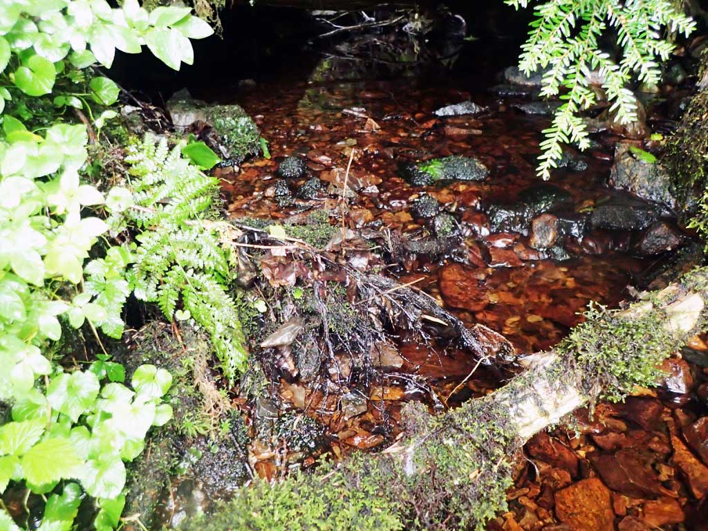
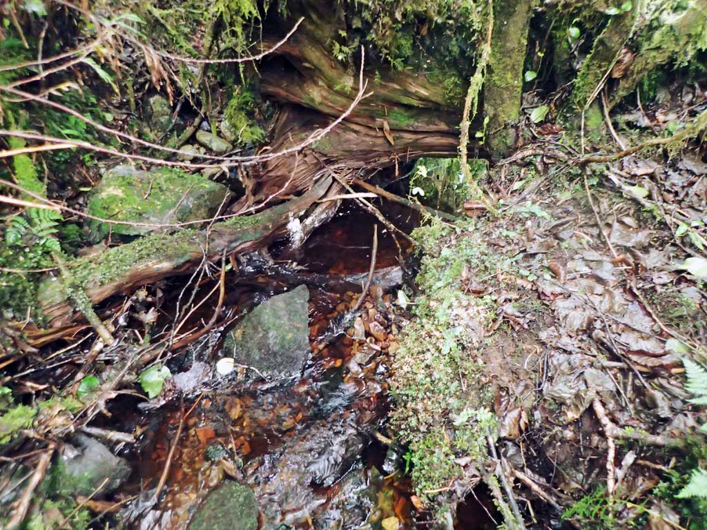
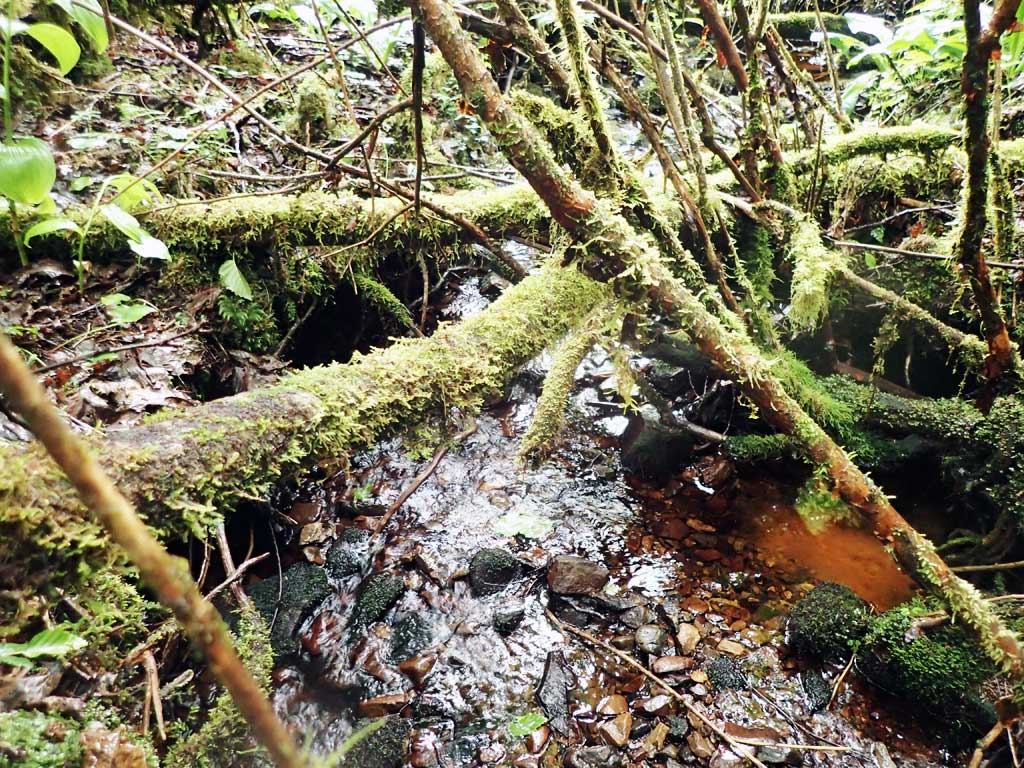
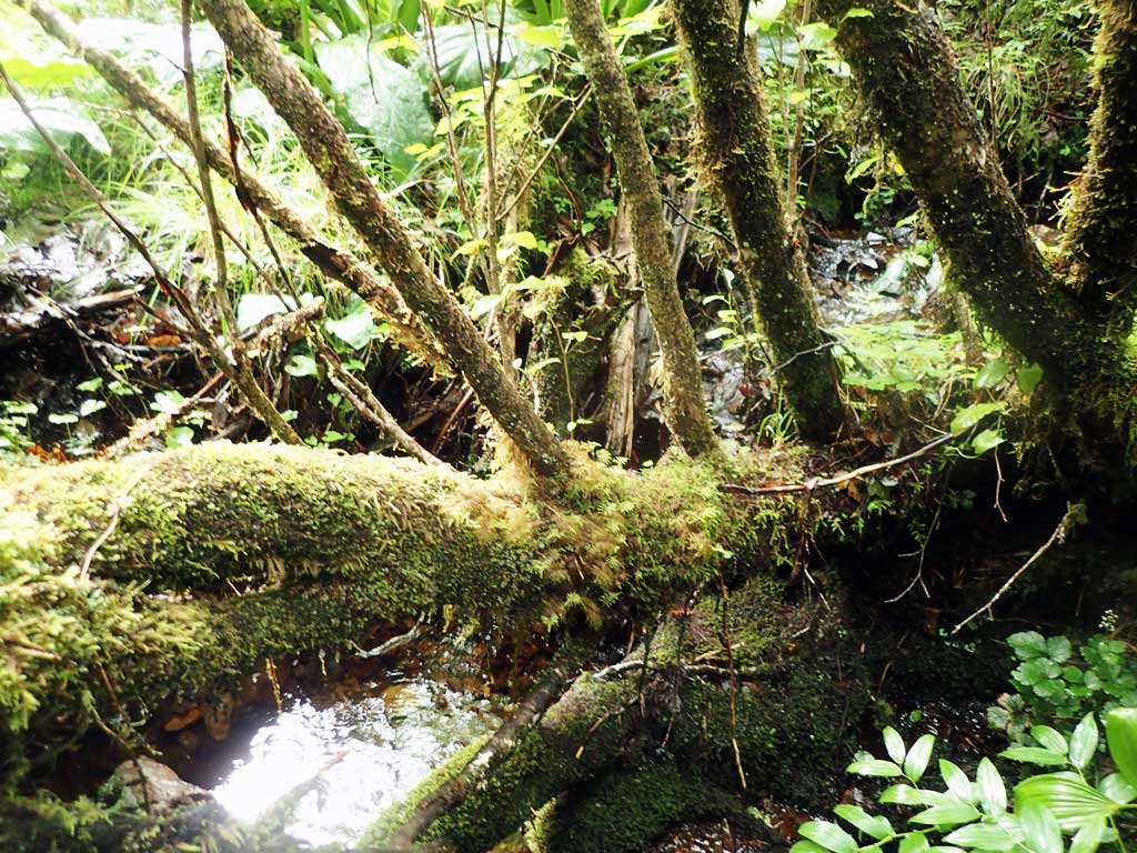
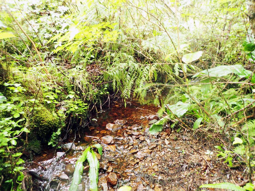
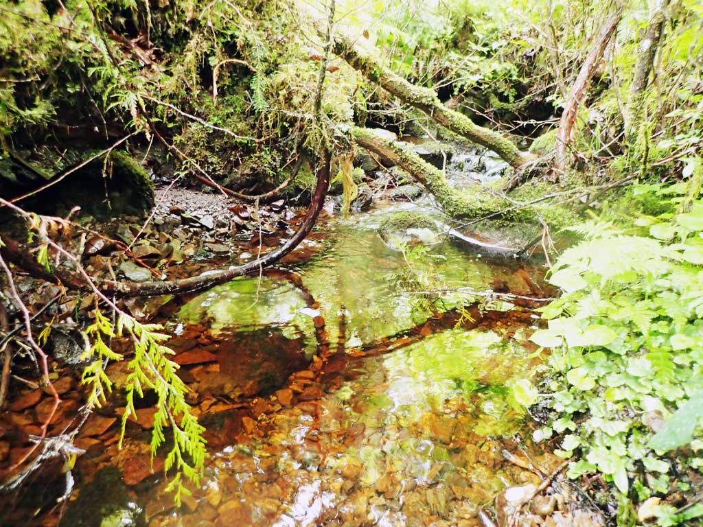
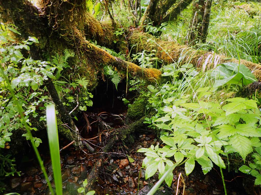
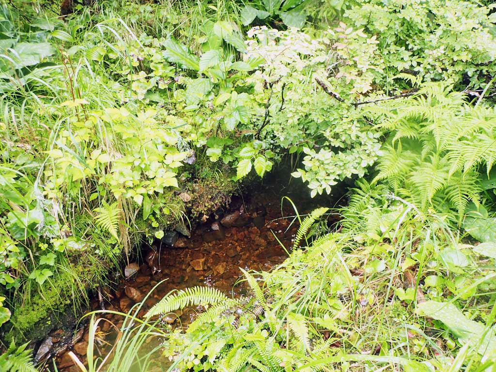
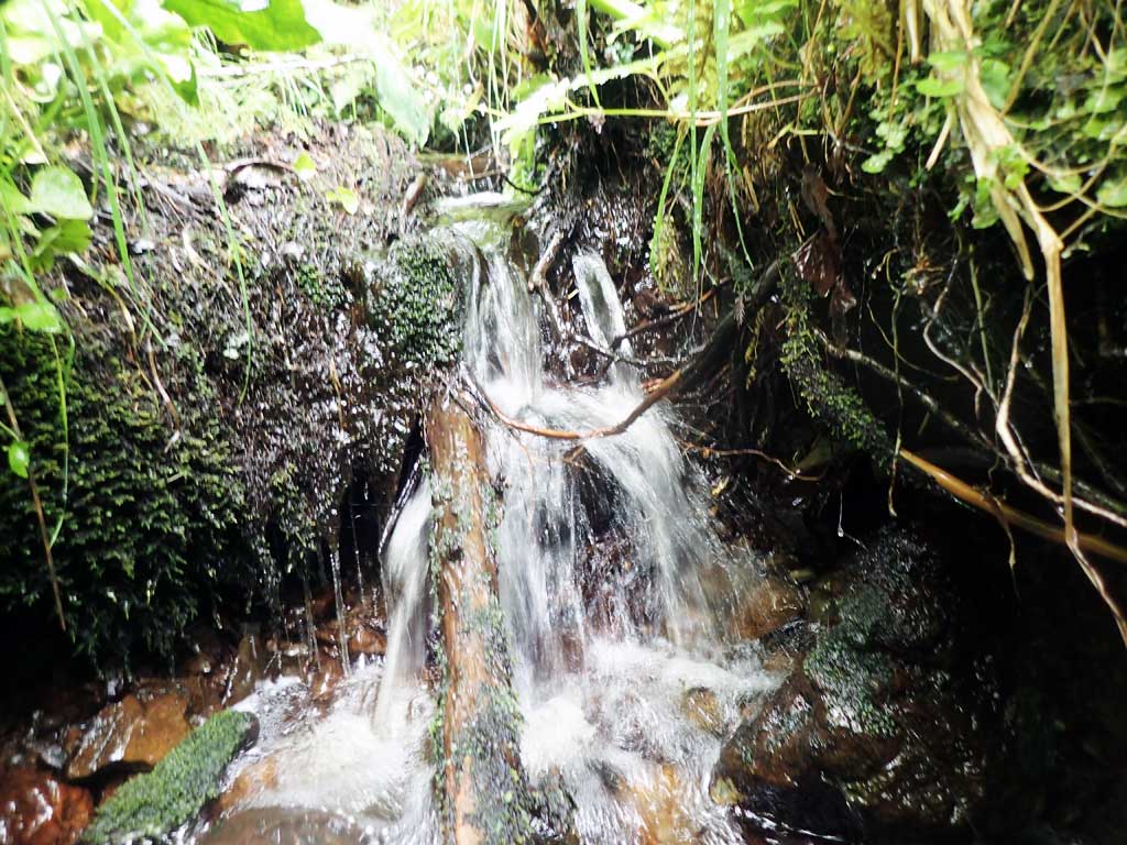
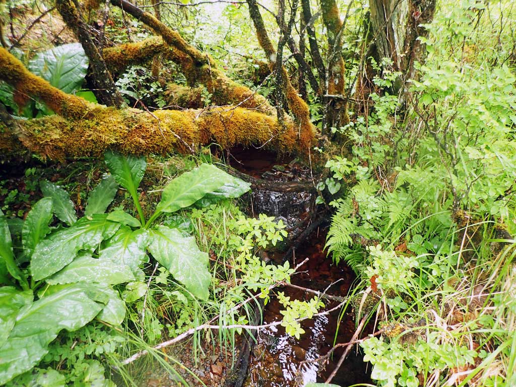
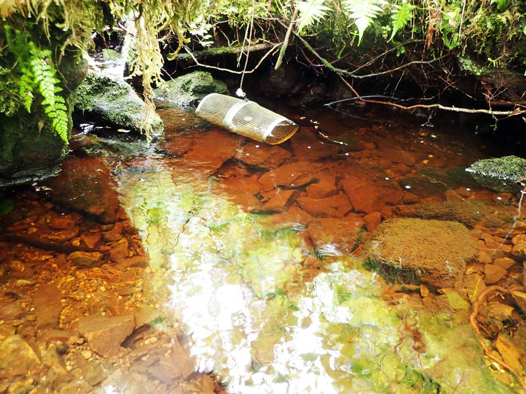
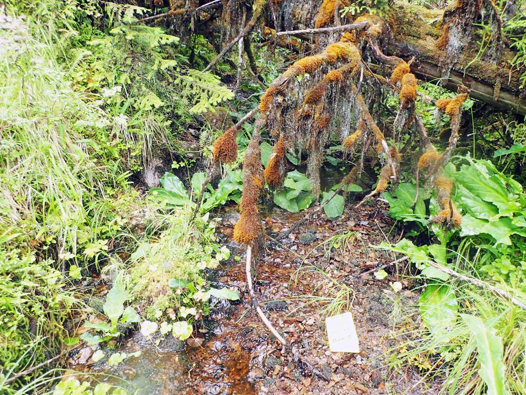
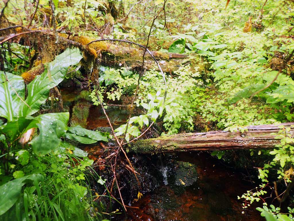
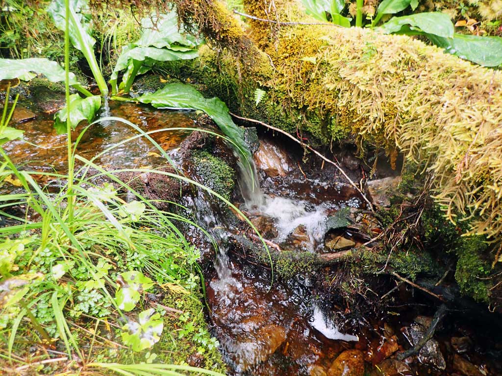
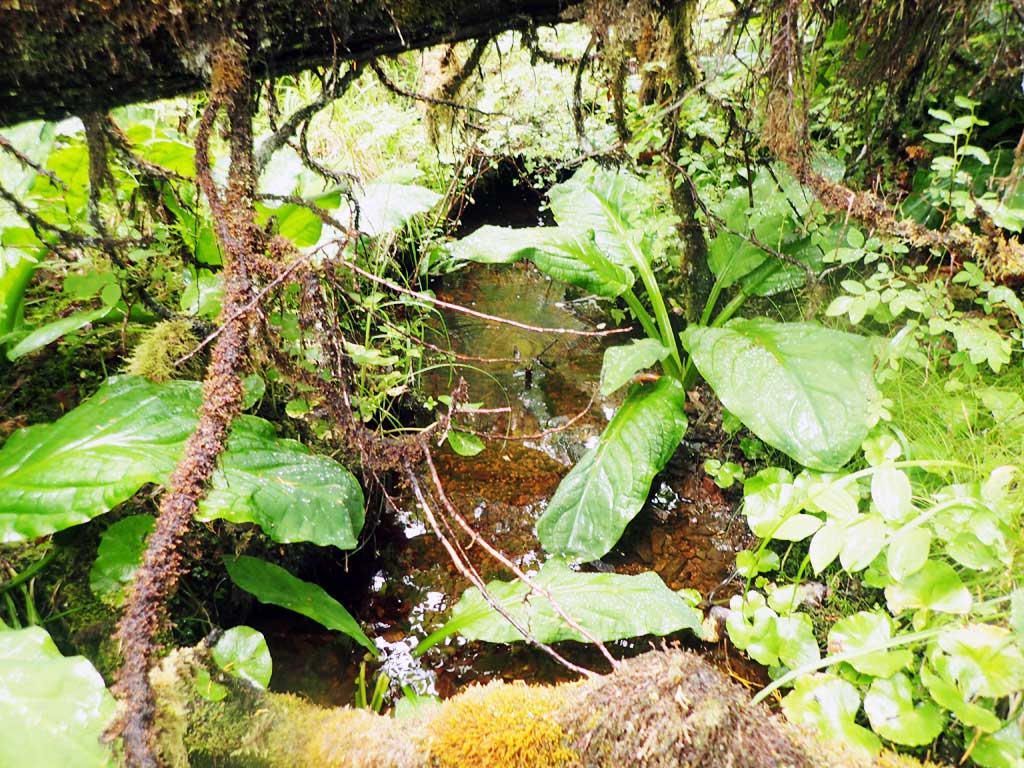
Comments: Small, shallow meandering stream. Upstream has 1ft high large woody debris sites at 100ft and 200ft upstream from culvert. Both upstream and downstream are twisty, shallow gravel riffles with only a few shallow pools. Brushy with salmon berries, alder and logging slash. Outlet very brushy
Culvert Measurements
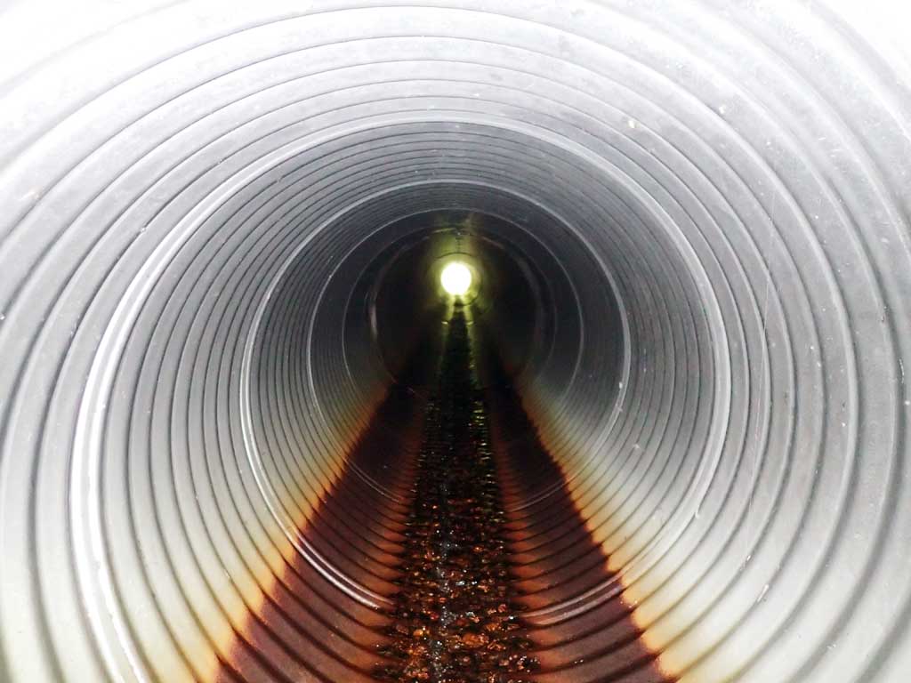
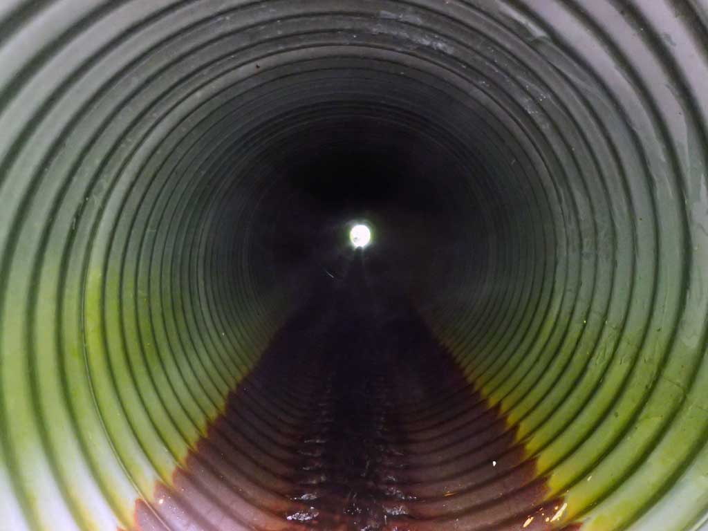
| ID: 1 | Structure Type: Circular pipe (Corrugated steel) | Fish Passage Rating: | |||||||||||||||||||||||||||||||||||||||||
|
|
|
|||||||||||||||||||||||||||||||||||||||||
Comments: Culvert length includes mitre length. Top of mitre length 58 with rangefinder. Stream gradient estimated 3% downstream. |
|||||||||||||||||||||||||||||||||||||||||||
Culvert Observations:
|
|||||||||||||||||||||||||||||||||||||||||||
Stream Measurements
|
|
| Stream Width Type | Distance From Crossing (ft) |
Stream Width (ft) |
|---|---|---|
| Downstream ordinary high water | 50.0 | 2.75 |
| Downstream ordinary high water | 100.0 | 2.00 |
| Downstream ordinary high water | 200.0 | 2.50 |
| Upstream ordinary high water | 75.0 | 3.00 |
| Upstream ordinary high water | 100.0 | 2.25 |
| Upstream ordinary high water | 150.0 | 2.50 |
Elevations
| Locator ID | Culvert Number |
River Distance (ft)1 |
Distance From Crossing (ft)2 |
Relative Elevation (ft) |
|---|---|---|---|---|
| Road Elev | 117.18 | |||
| D/S Grade Ctrl (Thalweg) | 0.00 | 94.96 | ||
| D/S Water Surface Elev | 0.00 | 95.06 | ||
| D/S Grade Ctrl (Thalweg) | 13.00 | 95.78 | ||
| D/S Water Surface Elev | 13.00 | 96.29 | ||
| D/S Grade Ctrl (Thalweg) (step boulders before culvert) | 19.00 | 96.41 | ||
| D/S Water Surface Elev | 19.00 | 96.85 | ||
| D/S Water Surface Elev | 22.00 | 96.93 | ||
| Outlet Invert (on pipe) | 22.00 | 96.65 | ||
| Outlet Culvert Top | 29.00 | 99.46 | ||
| Inlet Culvert Top | 87.00 | 106.45 | ||
| Inlet Culvert Invert (on pipe, 1st resting) | 94.00 | 103.83 | ||
| U/S Water Surface Elev | 94.00 | 103.98 | ||
| U/S Water Surface Elev | 101.00 | 104.07 | ||
| U/S Grade Ctrl (Thalweg) | 101.00 | 103.38 | ||
| U/S Grade Ctrl (Thalweg) | 109.00 | 103.53 | ||
| U/S Water Surface Elev | 109.00 | 103.80 |
Notes:
- River distance is measured continuously throughout the survey reach along the thalweg of the stream.
- Measured from each end of the crossing along the thalweg of the stream.
Fish Sampling Efforts
| Gear Type: Minnow Trap (A) | Trap Duration(h): 1.5 | |
| Comments: 120ft upstream first place deep enough for trap, no fish | ||
| Gear Type: Minnow Trap (B) | Trap Duration(h): 0.8 | |
| Comments: 50ft downstream, no fish | ||
Fish Observations
No fish observations occurred during this survey.
Photos
Questions or comments about this report can be directed to dfg.dsf.webmaster@alaska.gov