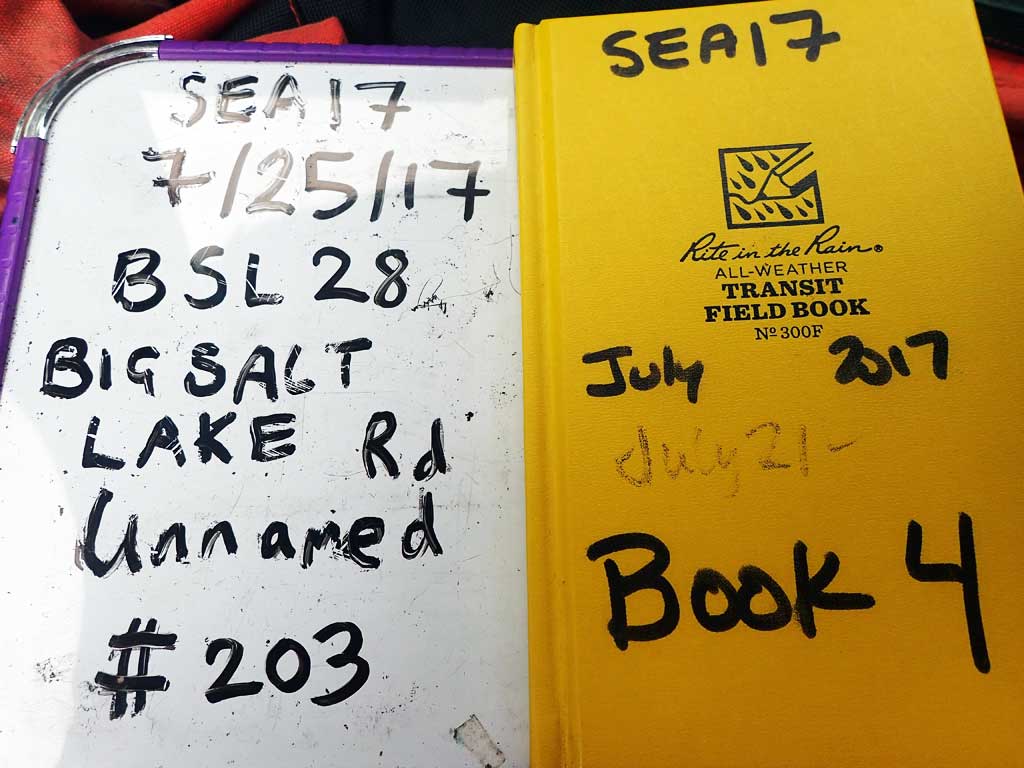
Fish Passage Site 10103544
Coordinates (dec. deg.): 55.62270°, -132.98006°
Legal Description: C072S081E15
Region: Southeast
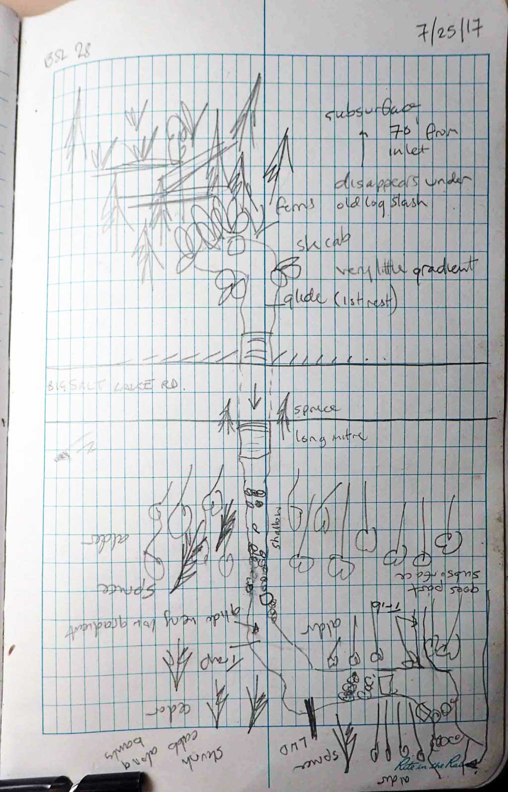
Road Name: Big Salt Lake Road
Datum: NAD83
Quad Name / ITM: Craig C-3
AWC Stream #:
Stream Name: Unnamed
Elevation:
Site Comments: Near Milepost 8.
Survey SEA17-BSL28
Observers: Elizabeth Flory, Kelly Petty
Overall Fish Passage Rating:
Tidal: No
Backwatered: No
Step Pools: No
Construction Year:
Site Observations:
- Culvert gradient red
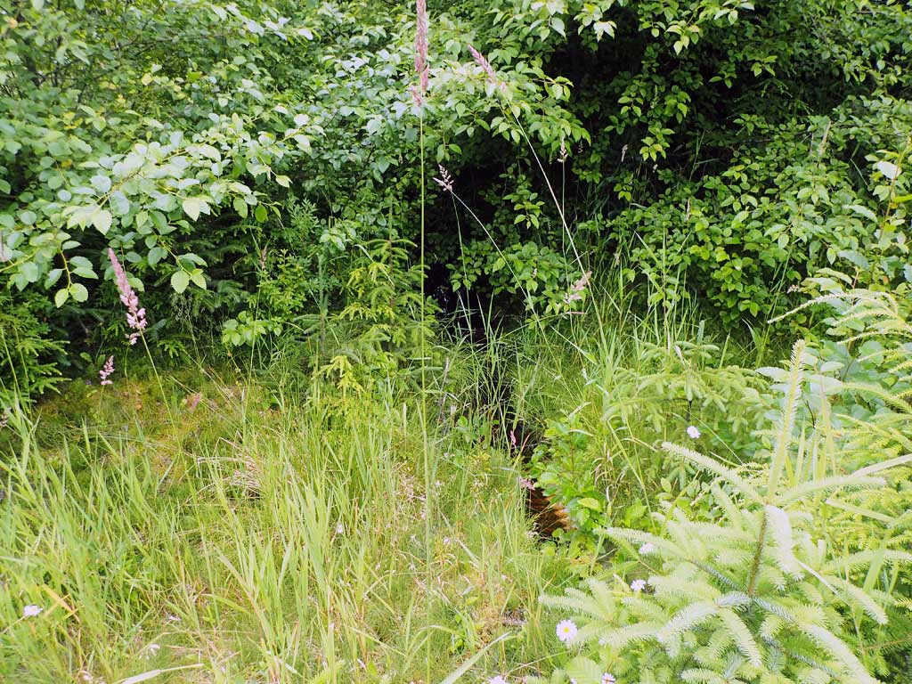
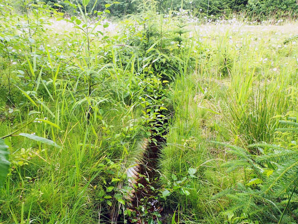
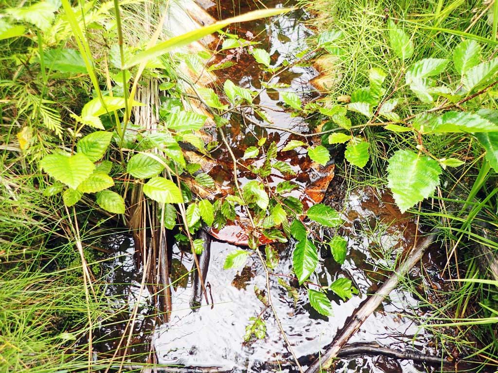
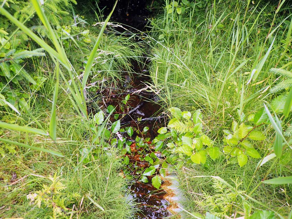
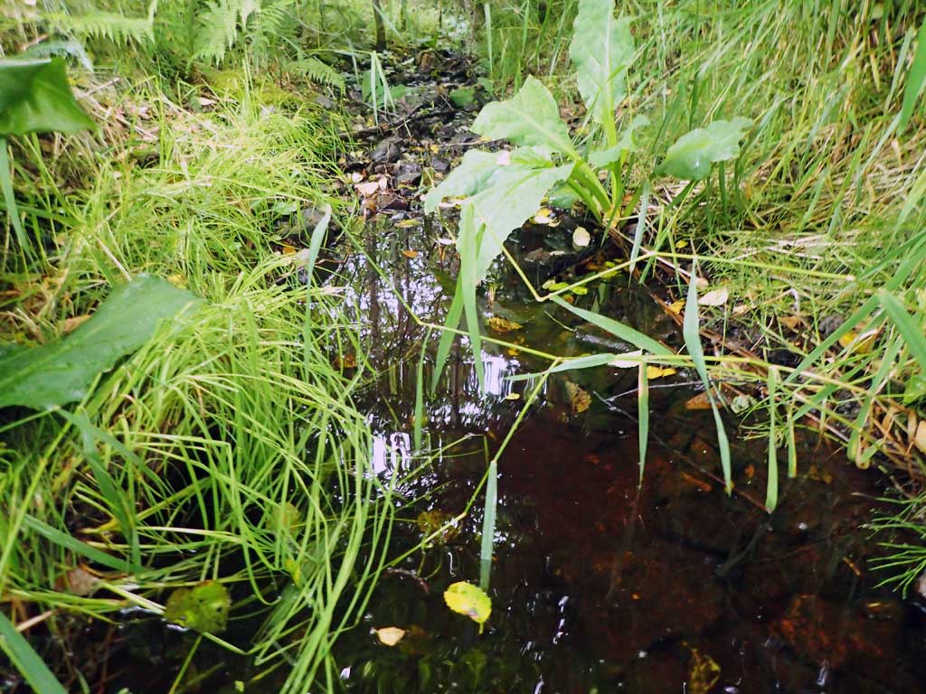
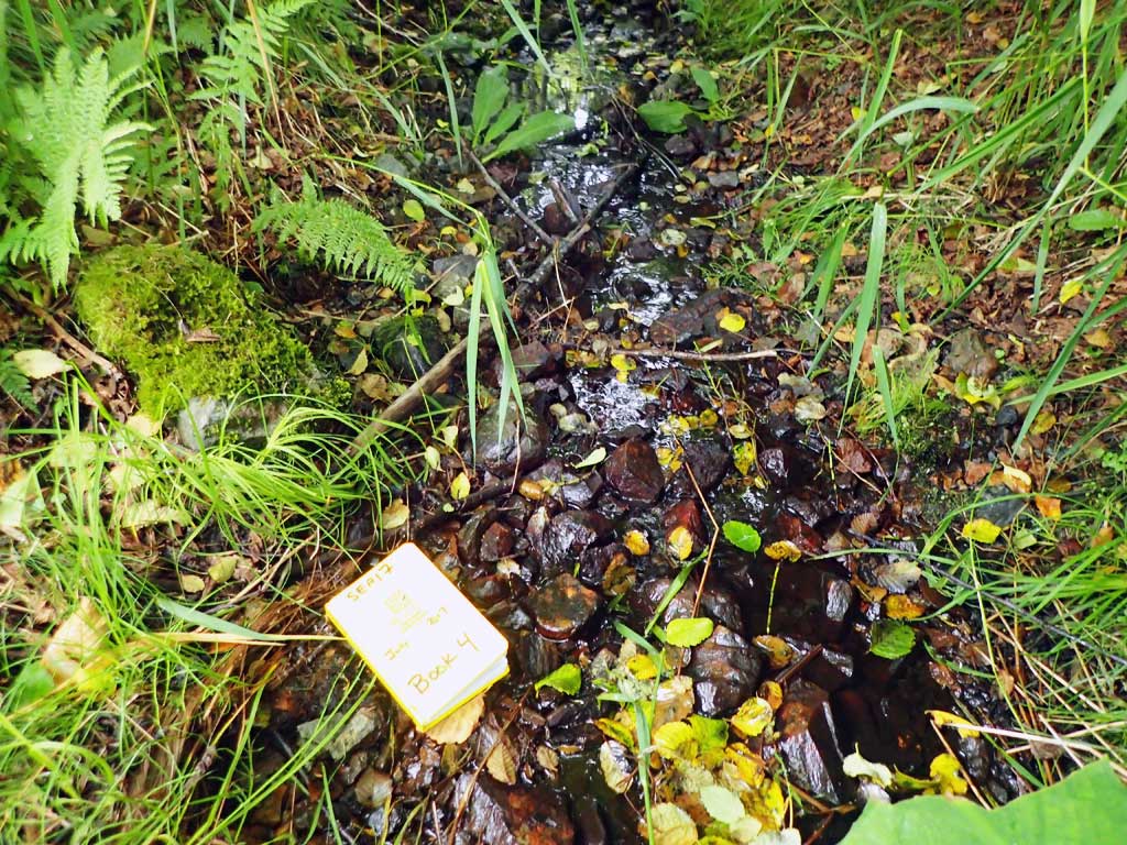
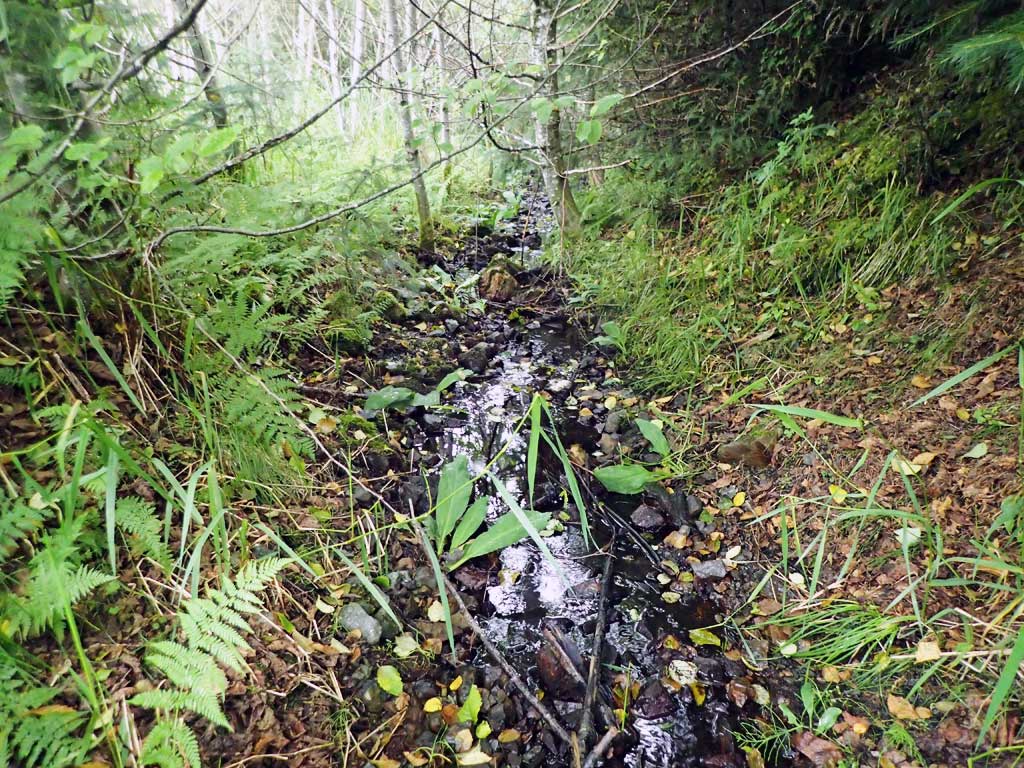
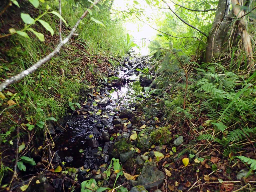
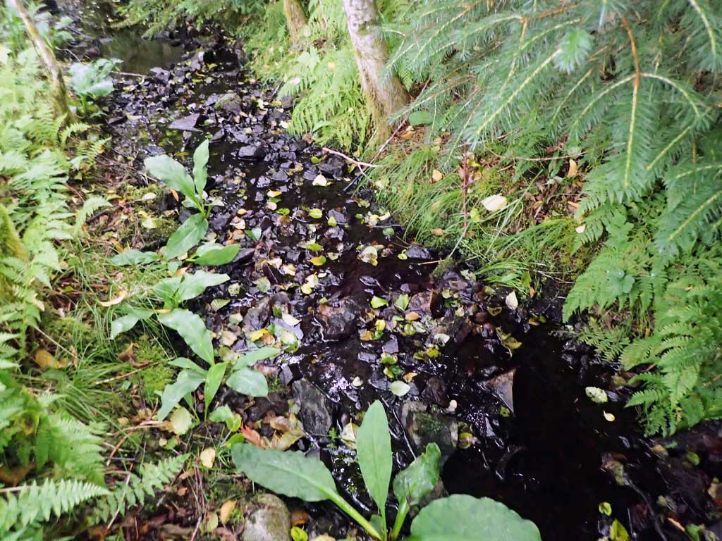
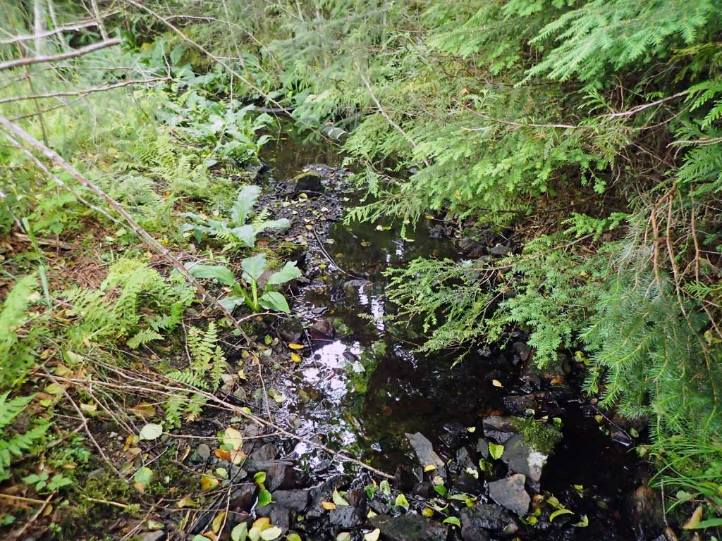
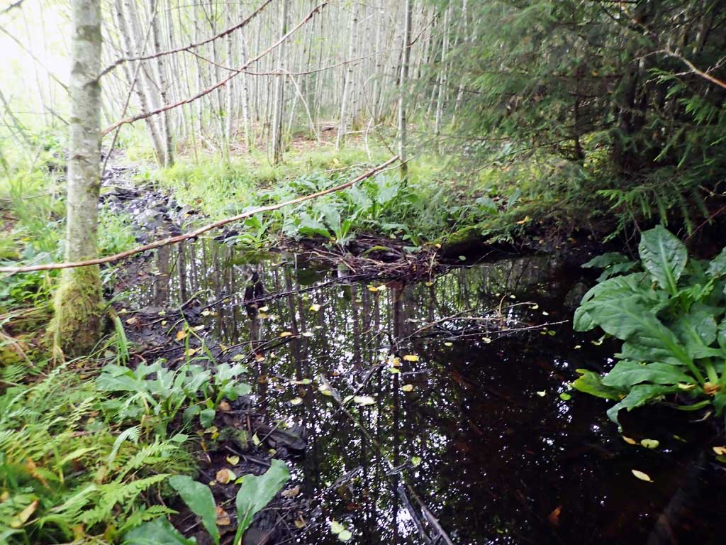
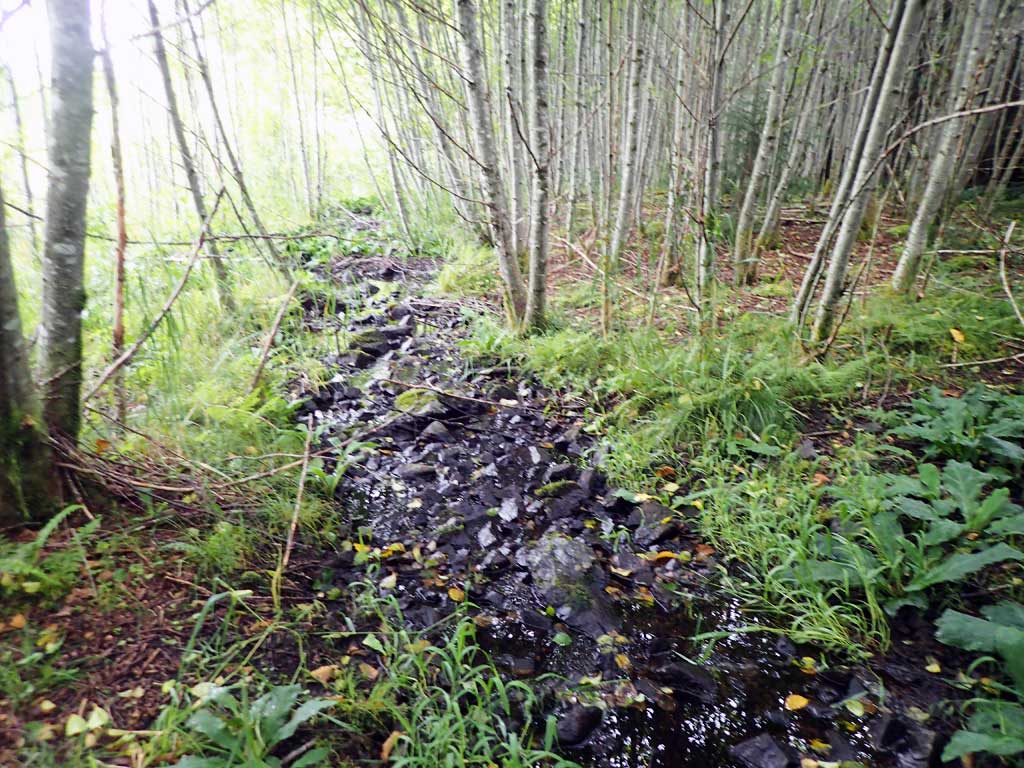
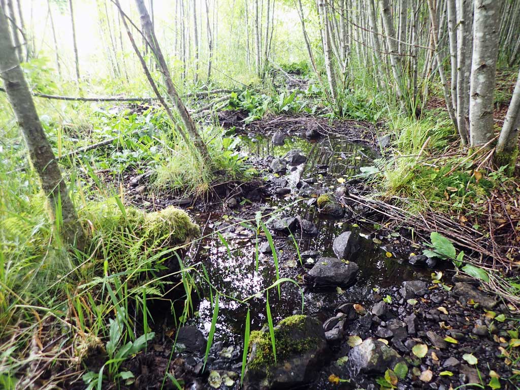
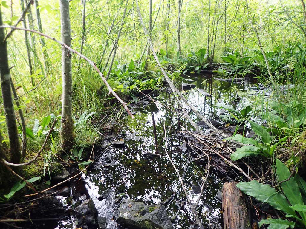
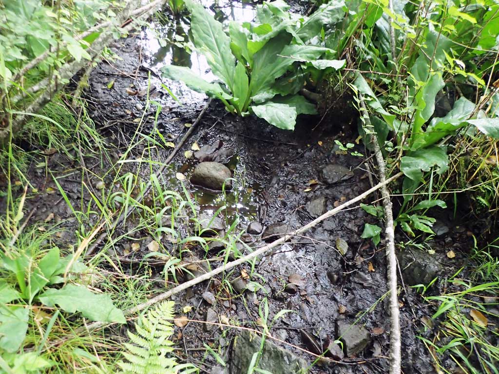
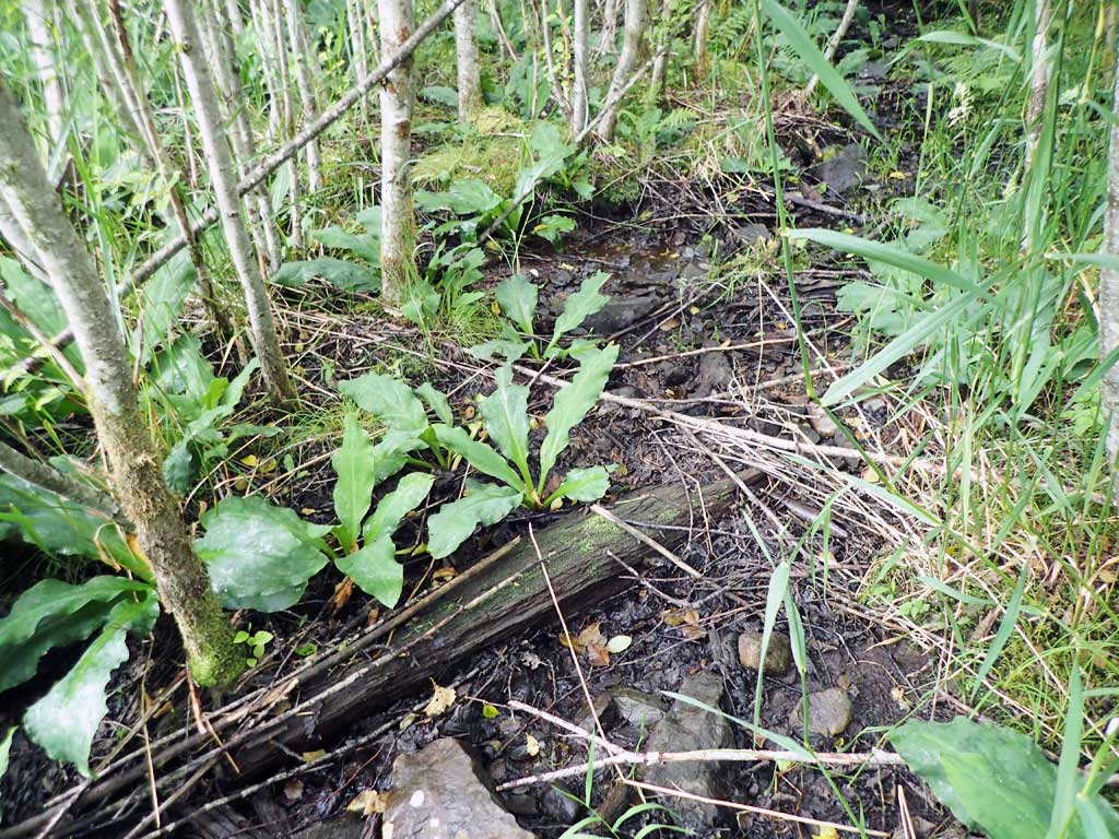
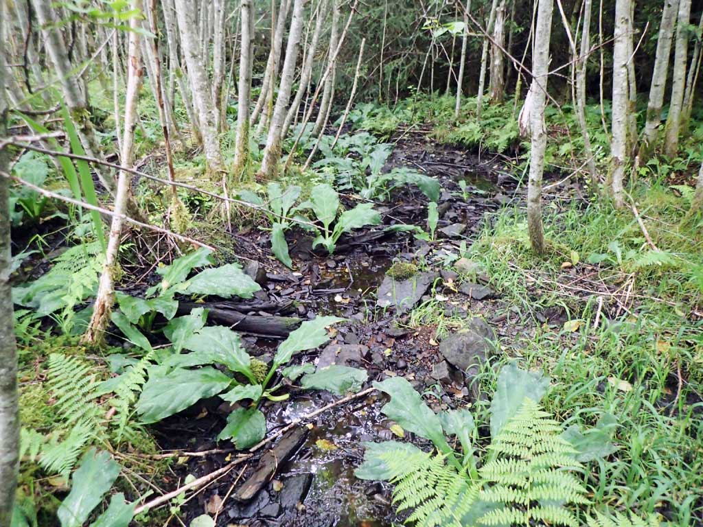
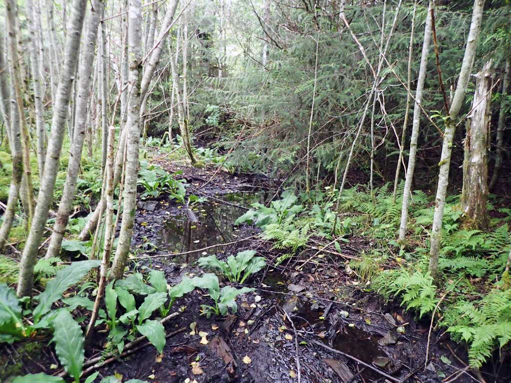
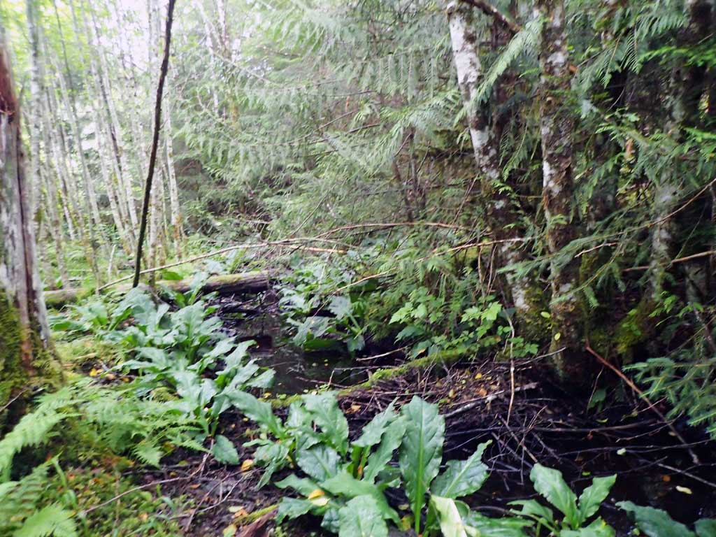
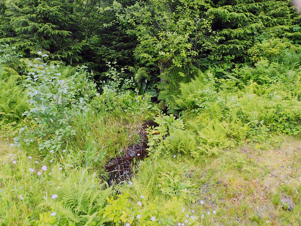
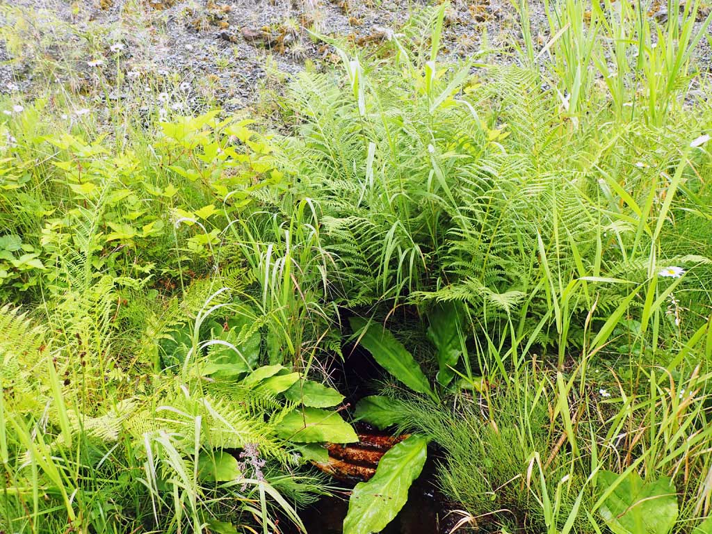
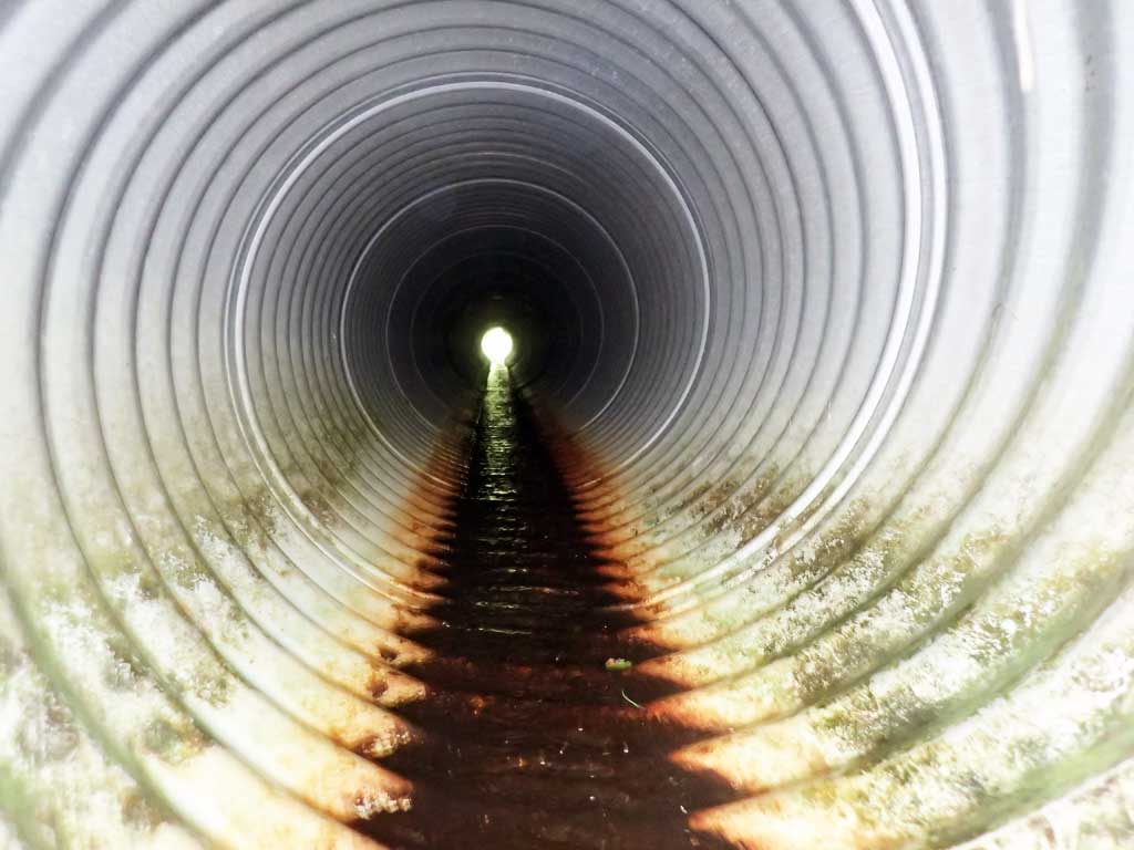
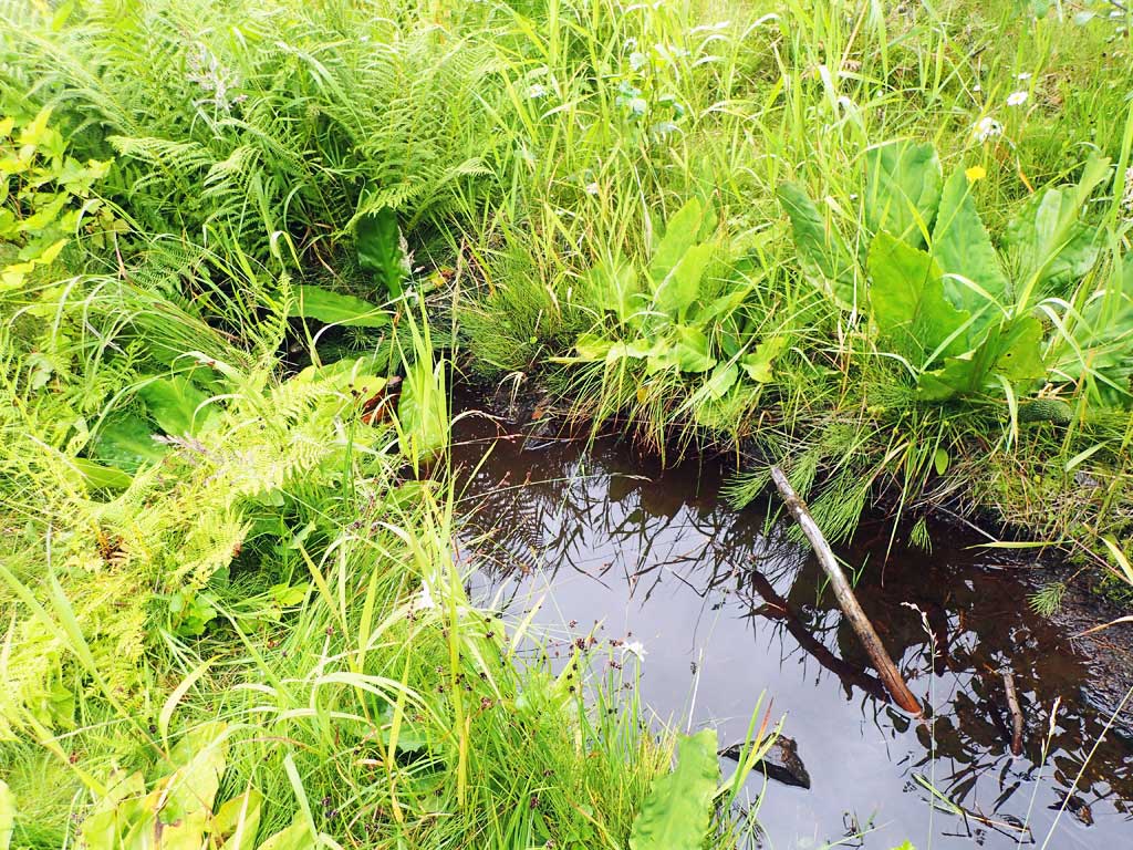
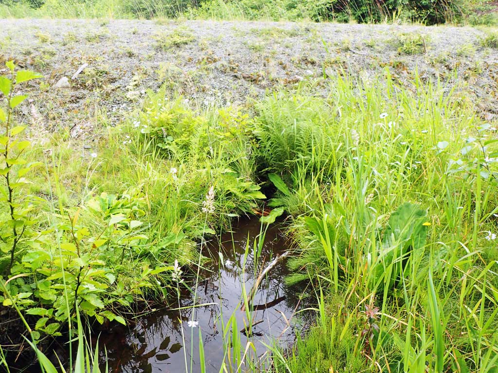
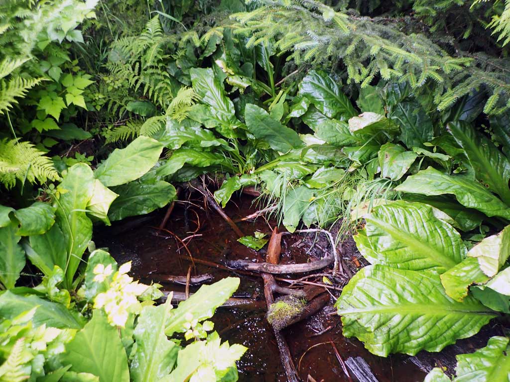
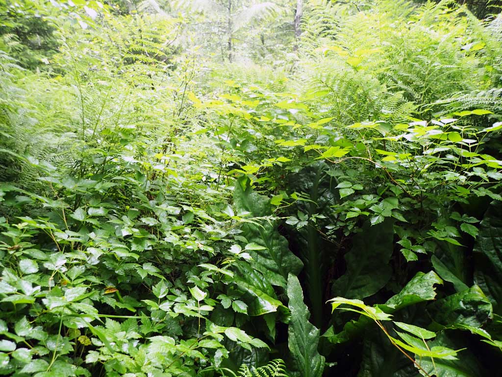
Comments: Downstream parallels road then goes subsurface 400ft from culvert. Upstream seems to go subsurface at 50ft from culvert - disappears under logging slash, ferns and brush.
Culvert Measurements
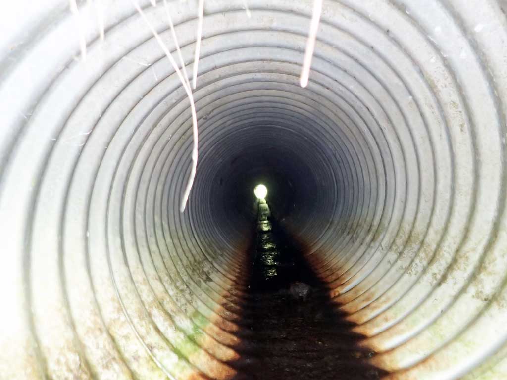
| ID: 1 | Structure Type: Circular pipe (Corrugated steel) | Fish Passage Rating: | |||||||||||||||||||||||||||||||||||||||||
|
|
|
|||||||||||||||||||||||||||||||||||||||||
Comments: Water depth at outlet invert 0.14, Top of pipe length, 60'. |
|||||||||||||||||||||||||||||||||||||||||||
Culvert Observations:
|
|||||||||||||||||||||||||||||||||||||||||||
Stream Measurements
|
|
| Stream Width Type | Distance From Crossing (ft) |
Stream Width (ft) |
|---|---|---|
| Downstream ordinary high water | 30.0 | 2.25 |
| Downstream ordinary high water | 50.0 | 1.75 |
| Downstream ordinary high water | 70.0 | 1.50 |
Elevations
| Locator ID | Culvert Number |
River Distance (ft)1 |
Distance From Crossing (ft)2 |
Relative Elevation (ft) |
|---|---|---|---|---|
| Road Elev | 100.43 | |||
| D/S Grade Ctrl (Thalweg) | 0.00 | 92.59 | ||
| D/S Water Surface Elev | 0.00 | 92.97 | ||
| D/S Grade Ctrl (Thalweg) | 52.00 | 93.75 | ||
| D/S Water Surface Elev | 52.00 | 93.97 | ||
| D/S Water Surface Elev | 67.00 | 93.95 | ||
| Max Pool Depth | 67.00 | 93.55 | ||
| Outlet Invert (on pipe) | 81.00 | 93.98 | ||
| D/S Water Surface Elev | 81.00 | 94.12 | ||
| Outlet Culvert Top | 91.00 | 96.00 | ||
| Inlet Culvert Top | 151.00 | 97.42 | ||
| Inlet Culvert Invert (on pipe) | 157.00 | 95.48 | ||
| U/S Water Surface Elev | 157.00 | 95.76 | ||
| U/S Water Surface Elev | 160.00 | 95.78 | ||
| U/S Grade Ctrl (Thalweg) (first resting) | 160.00 | 95.28 | ||
| U/S Water Surface Elev | 181.00 | 95.68 | ||
| U/S Grade Ctrl (Thalweg) | 181.00 | 94.96 |
Notes:
- River distance is measured continuously throughout the survey reach along the thalweg of the stream.
- Measured from each end of the crossing along the thalweg of the stream.
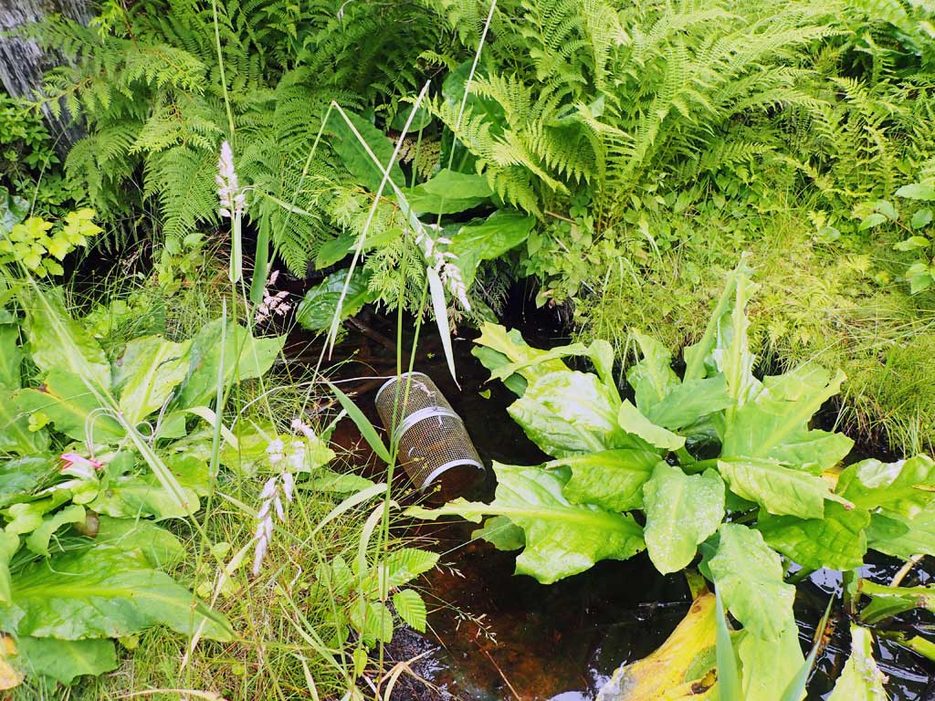
Fish Sampling Efforts
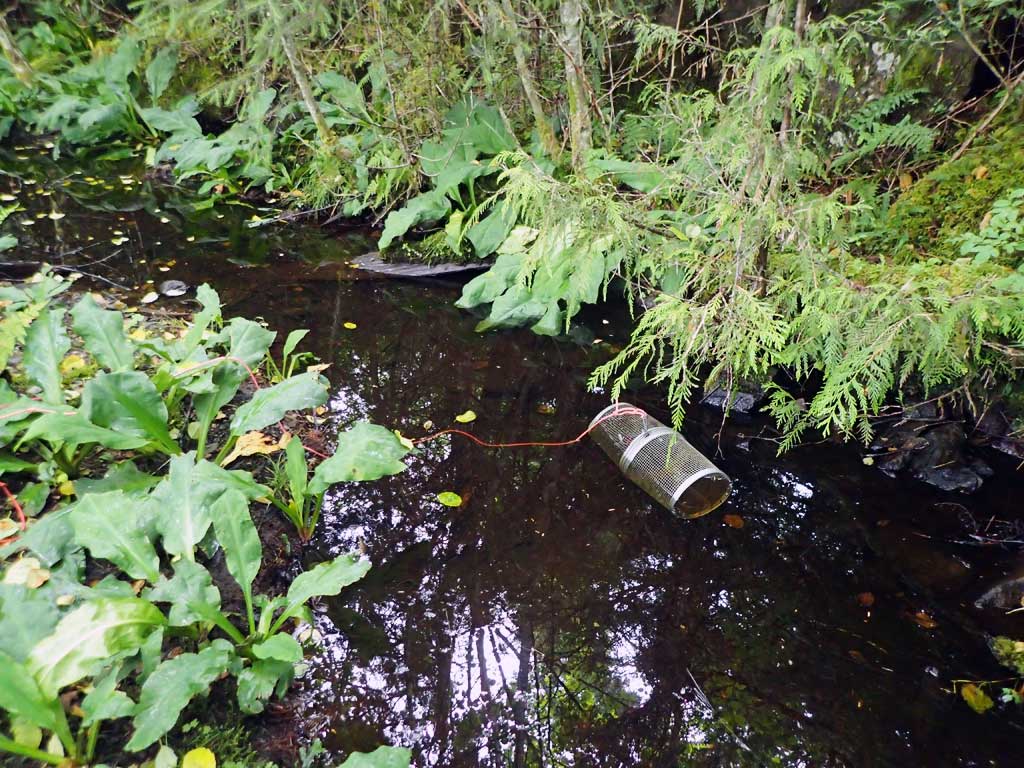
| Gear Type: Minnow Trap (A) | Trap Duration(h): 1.0 | |
| Comments: 20ft upstream, no fish | ||
| Gear Type: Minnow Trap (B) | Trap Duration(h): 1.0 | |
| Comments: 80ft downstream, no fish | ||
Fish Observations
No fish observations occurred during this survey.
Photos

Questions or comments about this report can be directed to dfg.dsf.webmaster@alaska.gov