Fish Passage Site 10103543
Coordinates (dec. deg.): 55.61364°, -132.99400°
Legal Description: C072S081E21
Region: Southeast
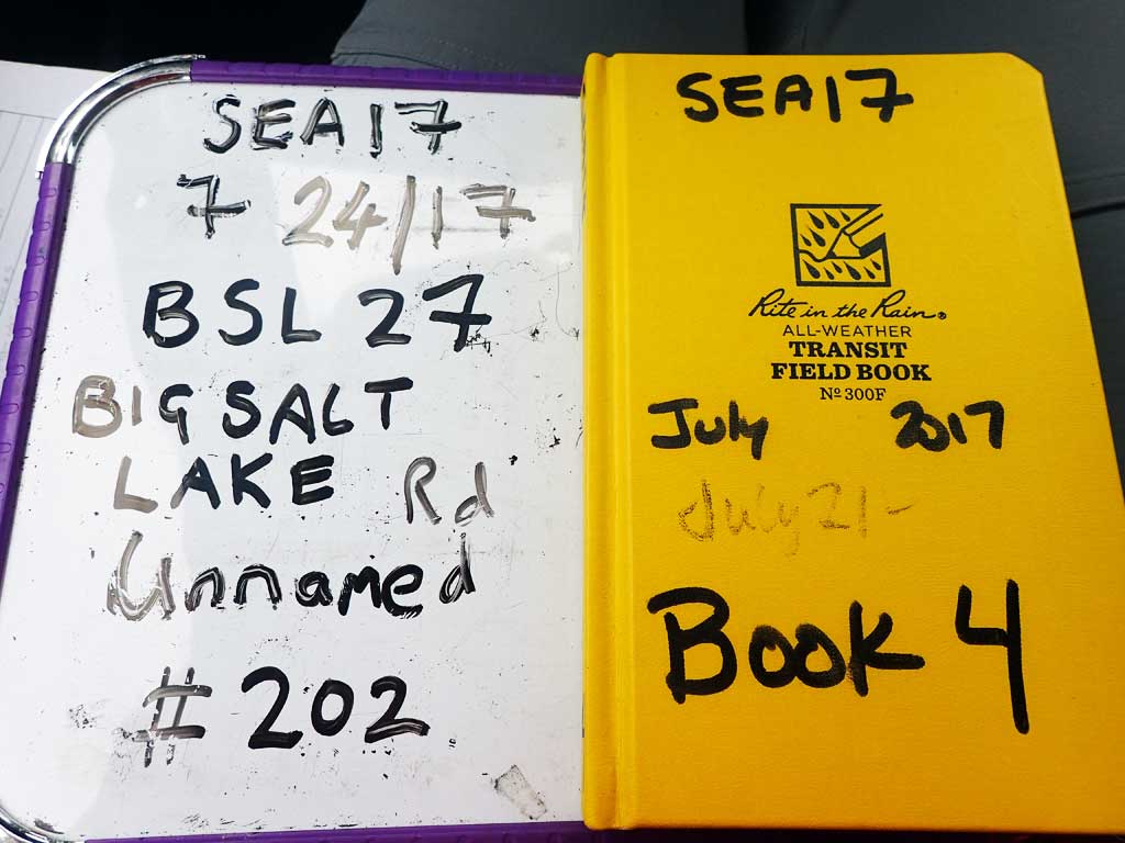
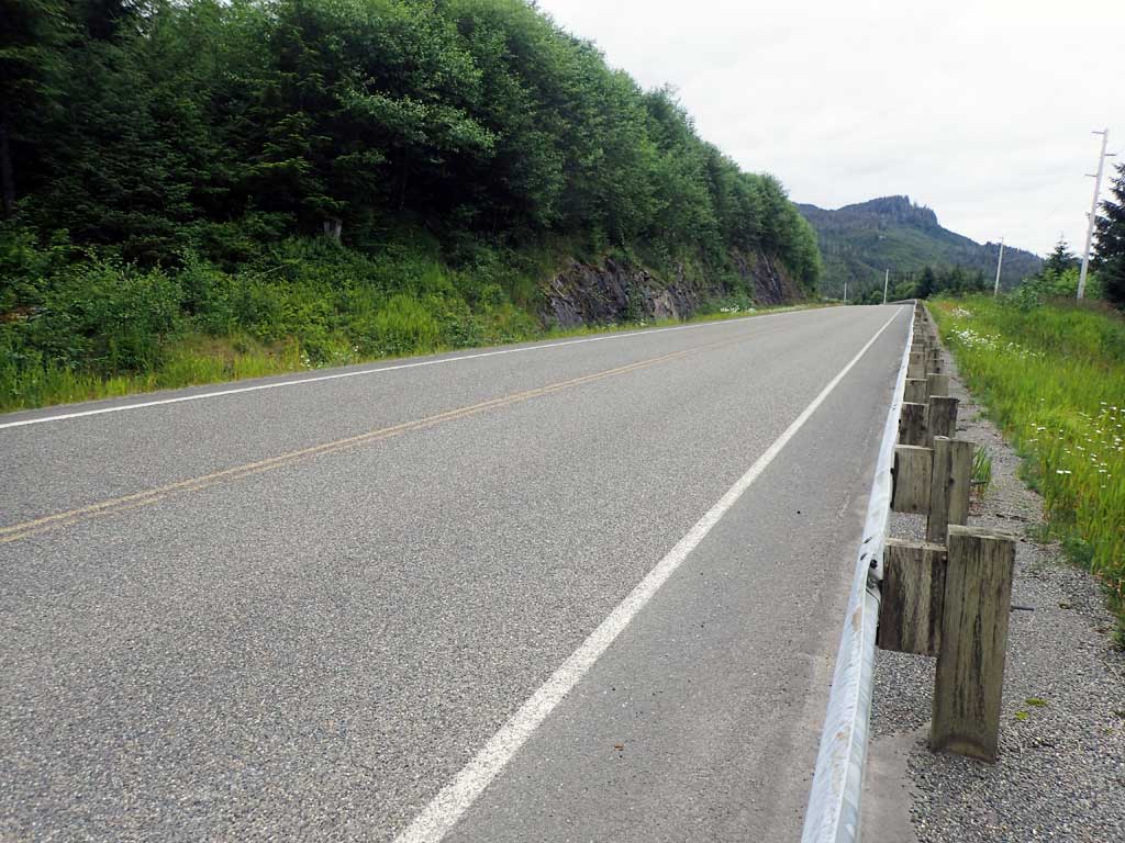
Road Name: Big Salt Lake Road
Datum: NAD83
Quad Name / ITM: Craig C-3
AWC Stream #:
Stream Name: Unnamed
Elevation:
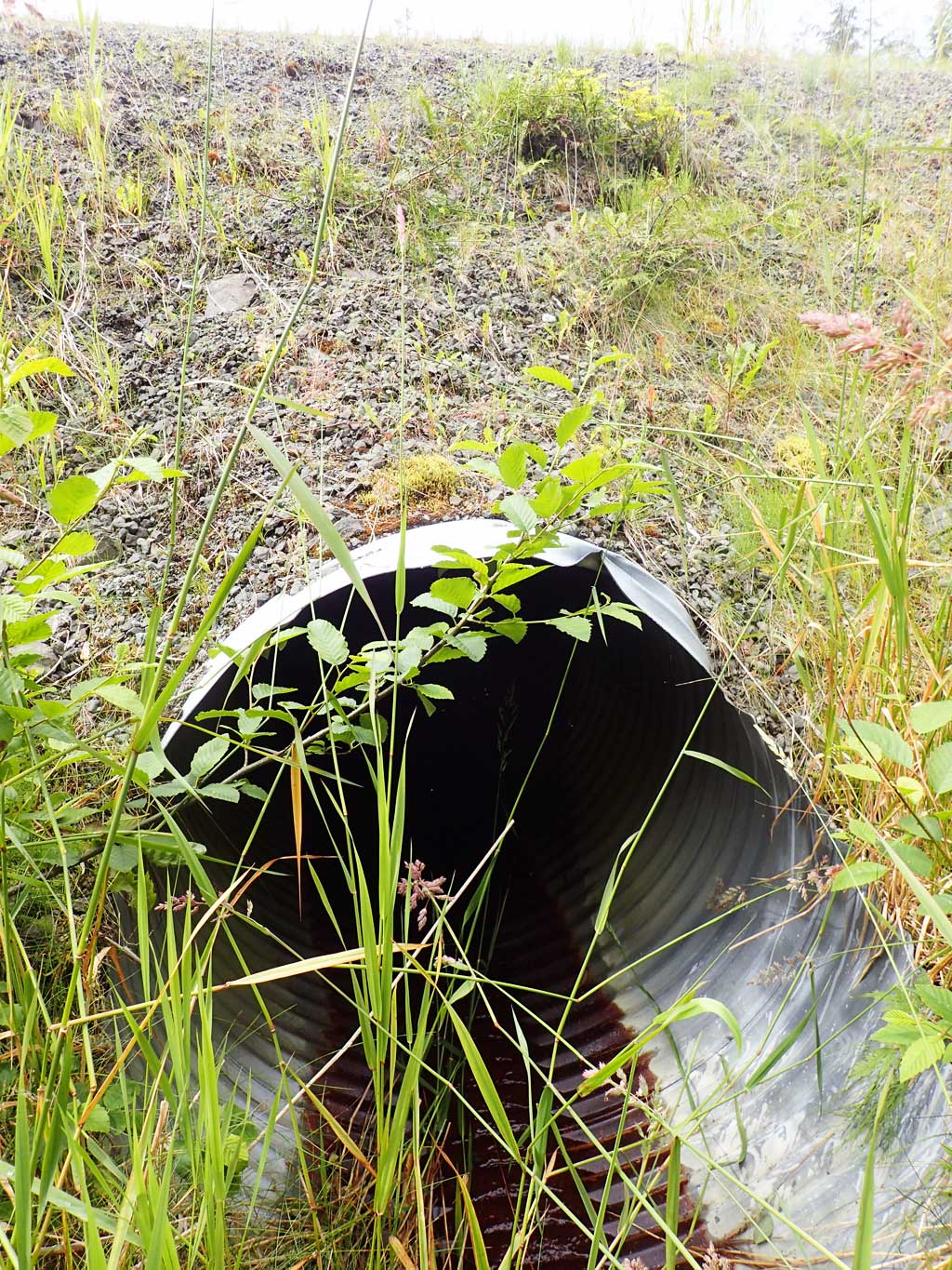
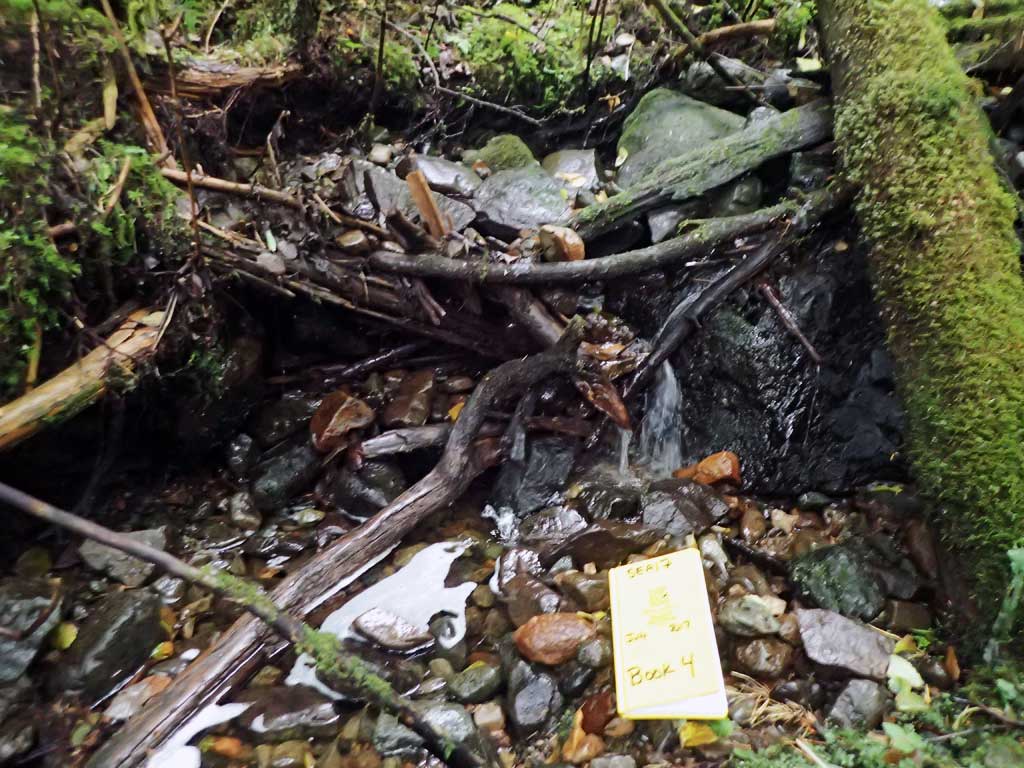
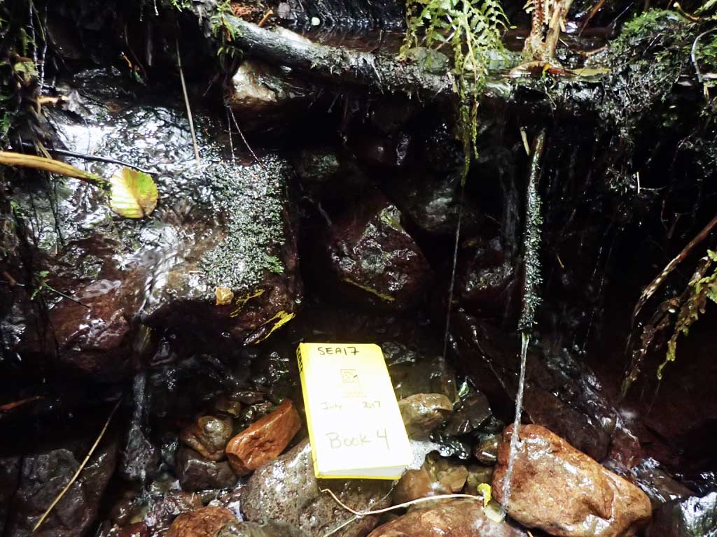
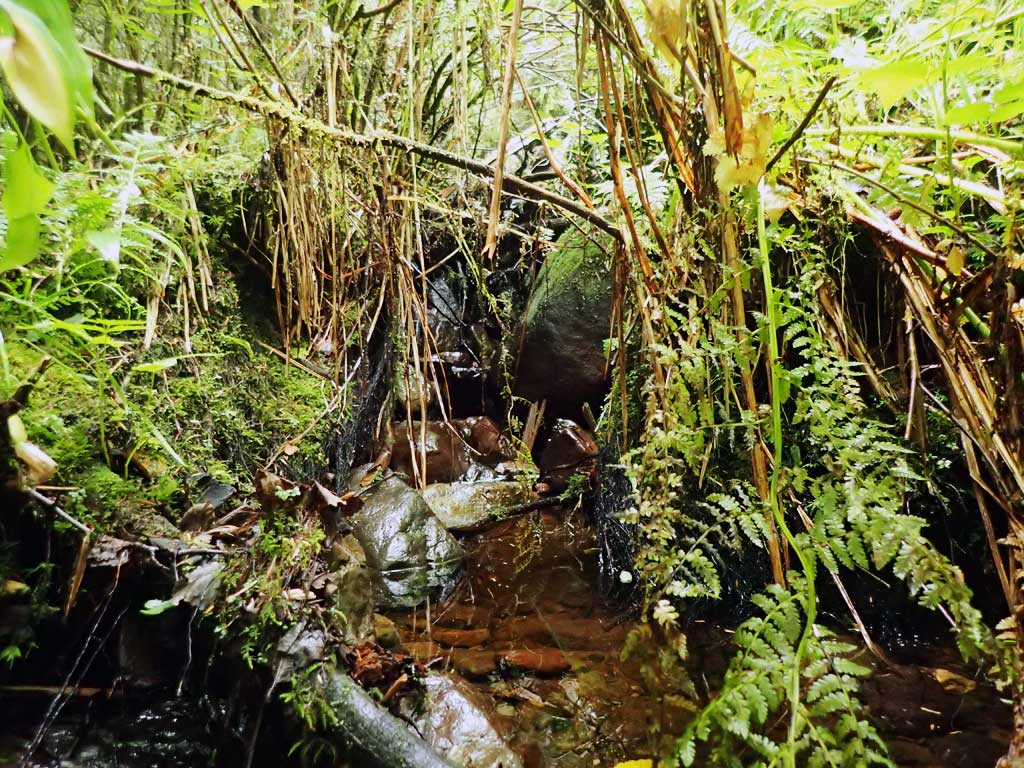
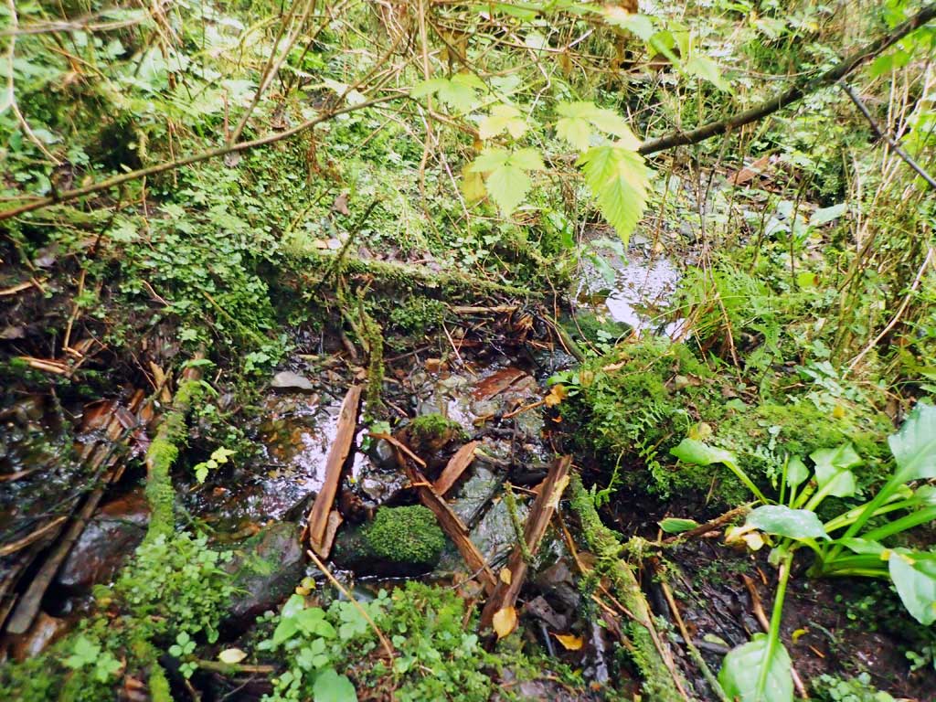
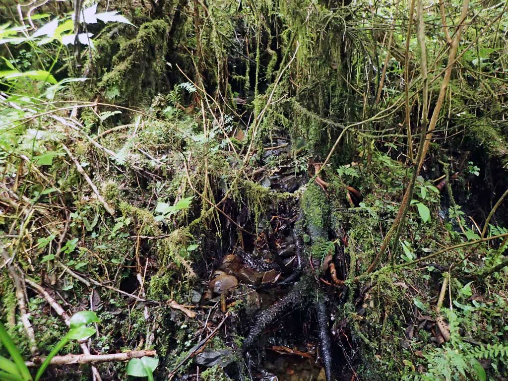
Site Comments: Near Milepost 7. Tributary to Duke Creek.
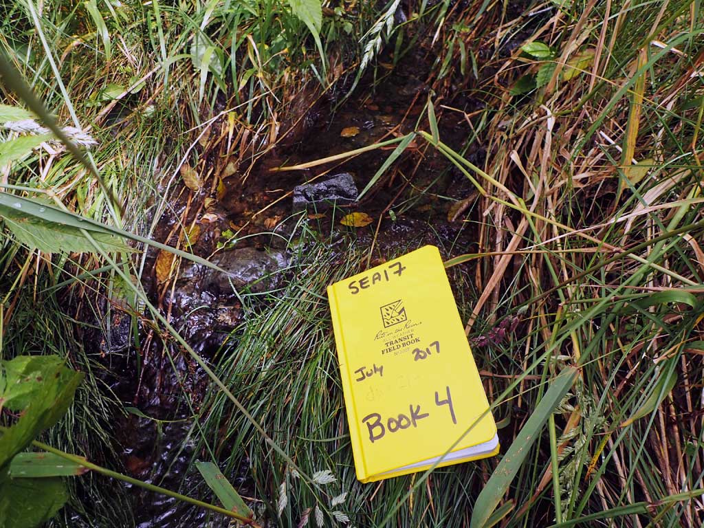
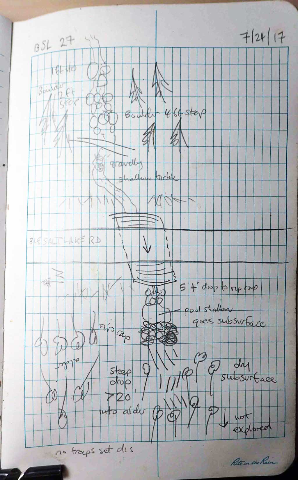
Survey SEA17-BSL27
Observers: Elizabeth Flory
Overall Fish Passage Rating:
Tidal: No
Backwatered: No
Step Pools: No
Construction Year:
Site Observations:
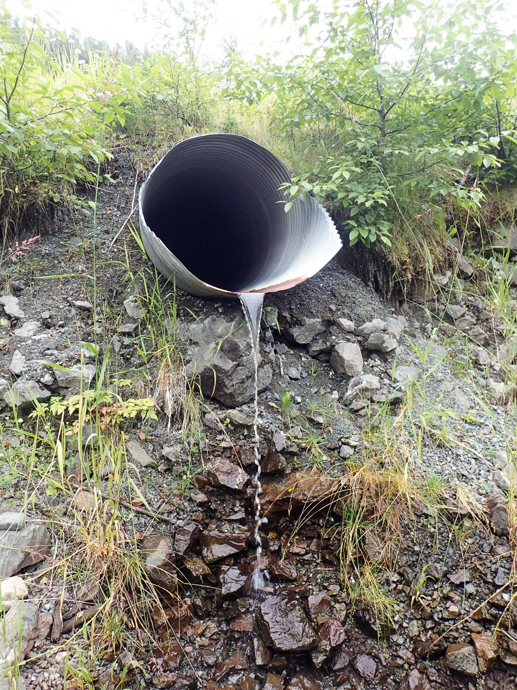
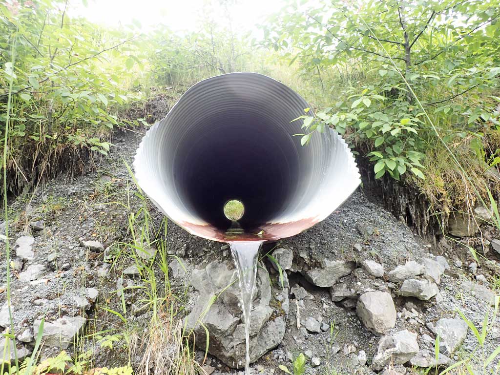
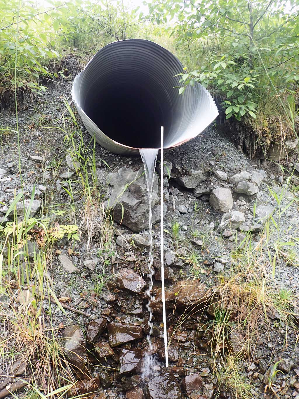
- Outfall height red
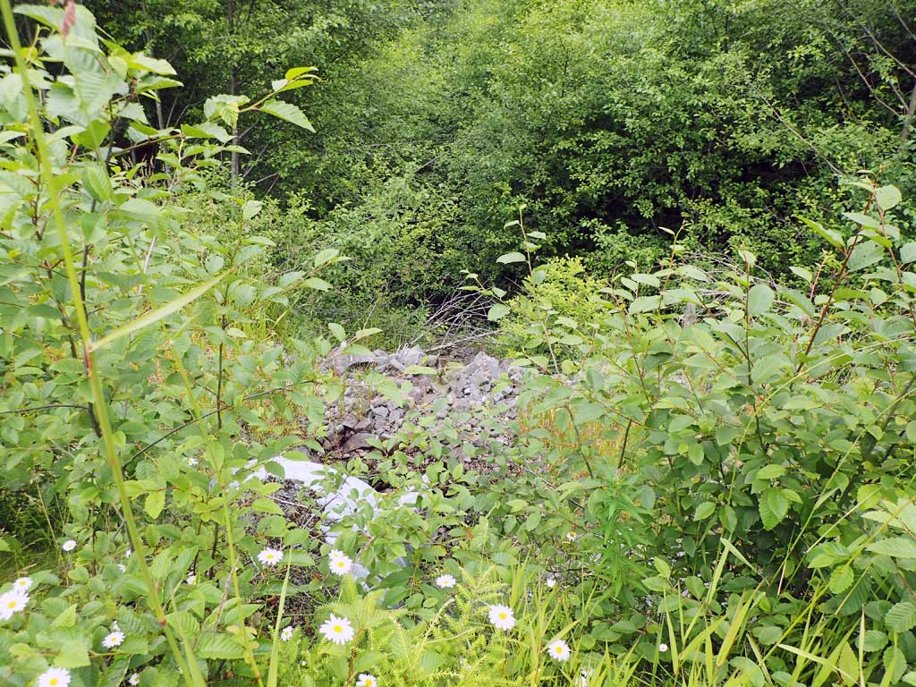
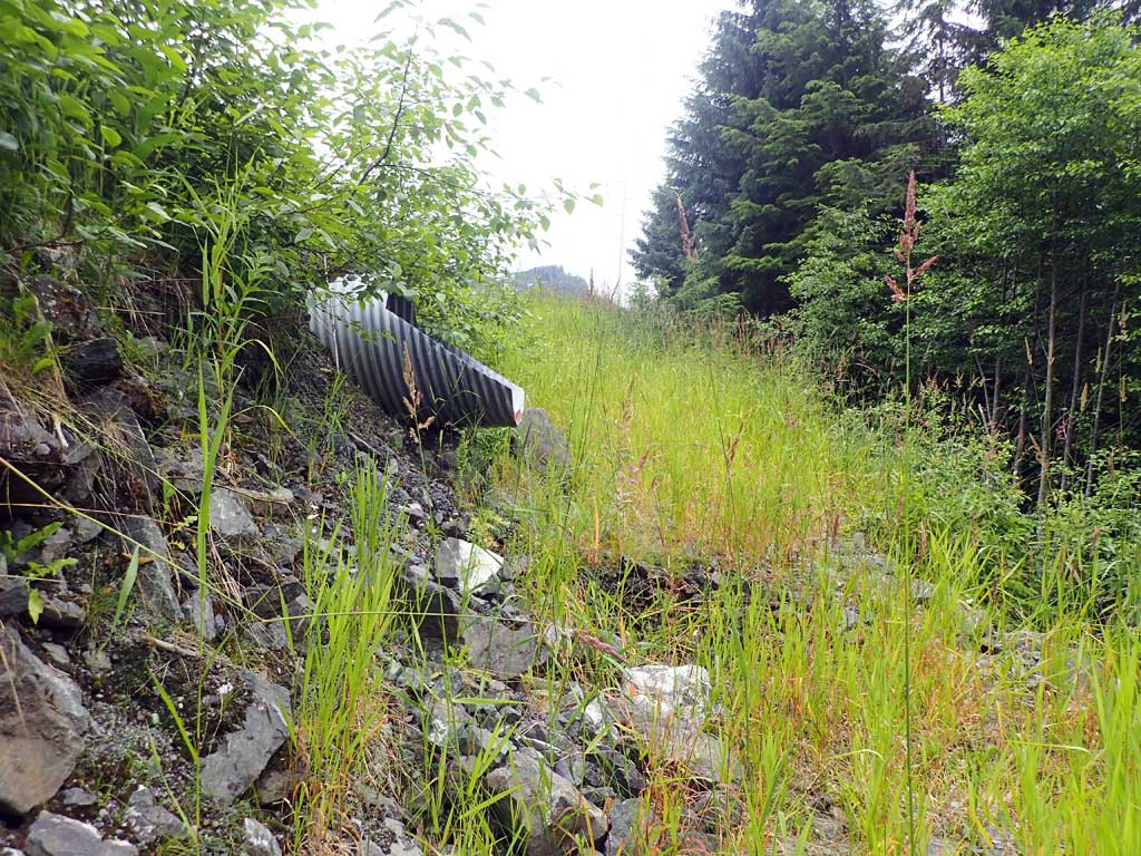
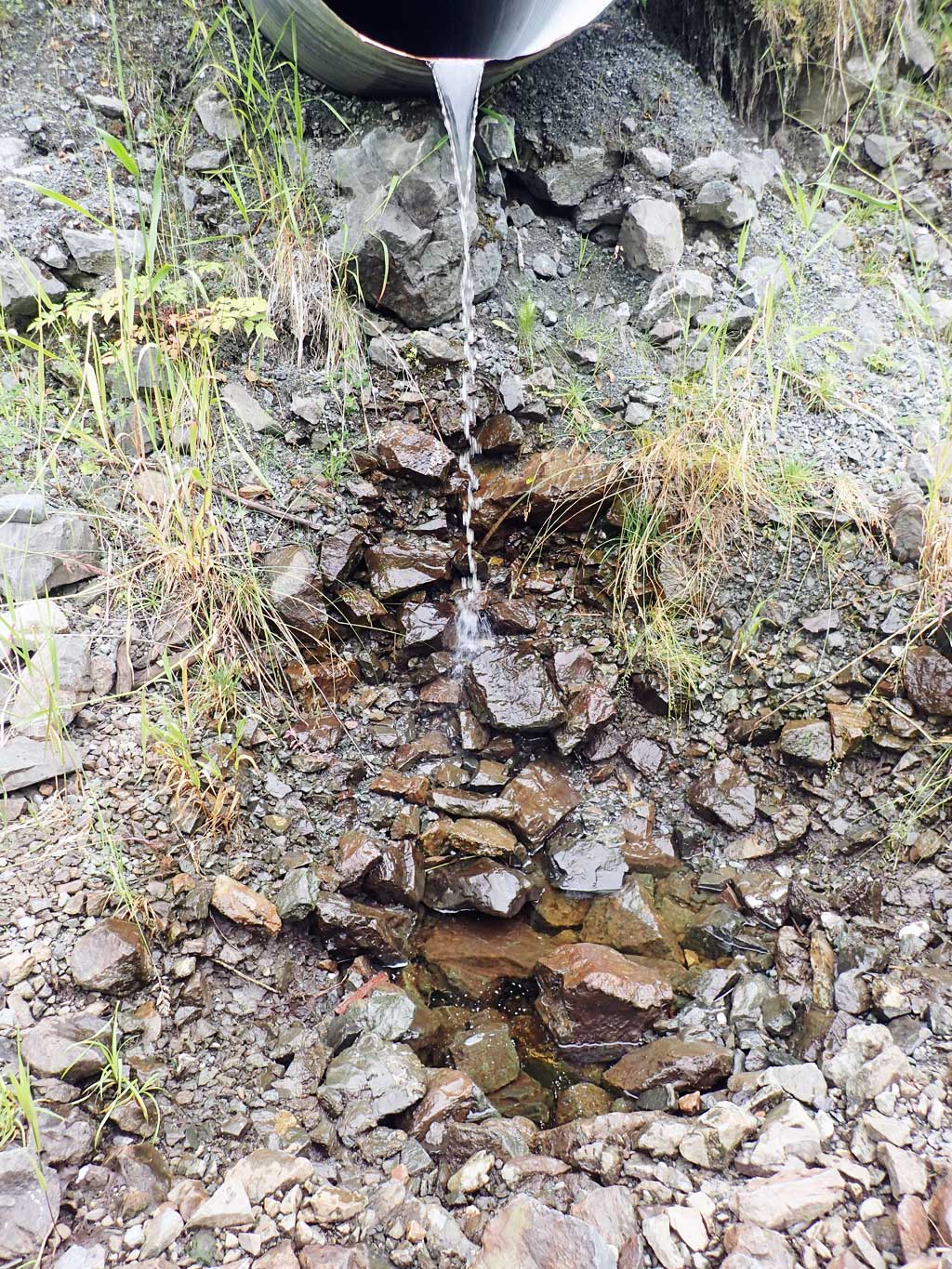
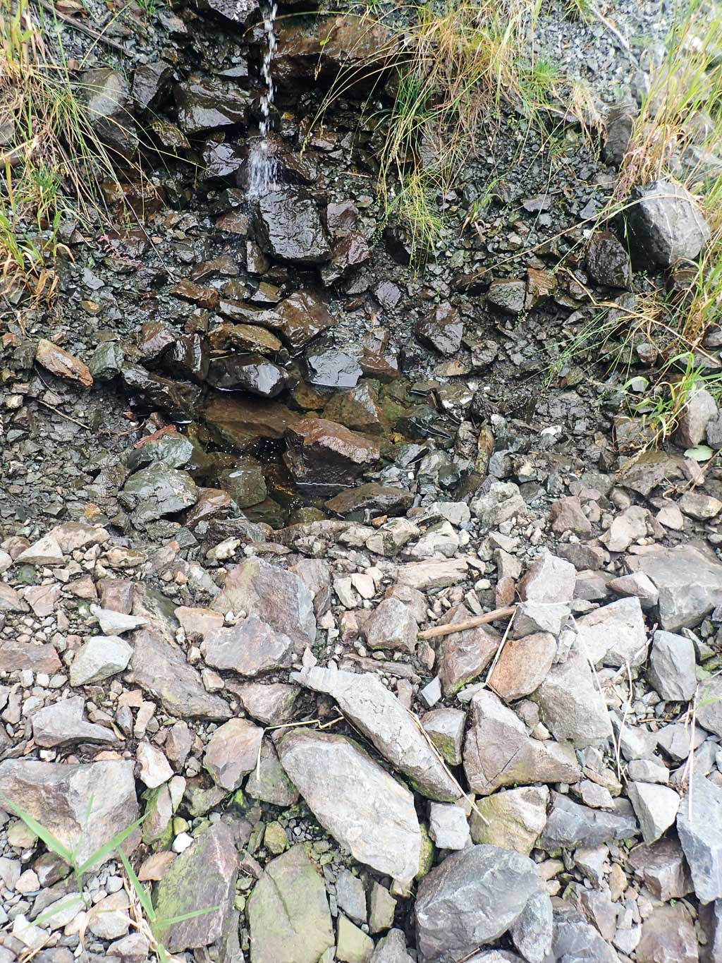
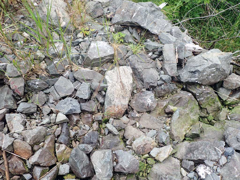
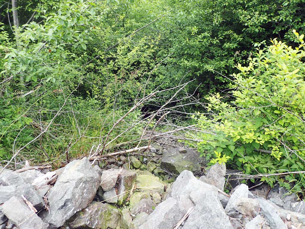
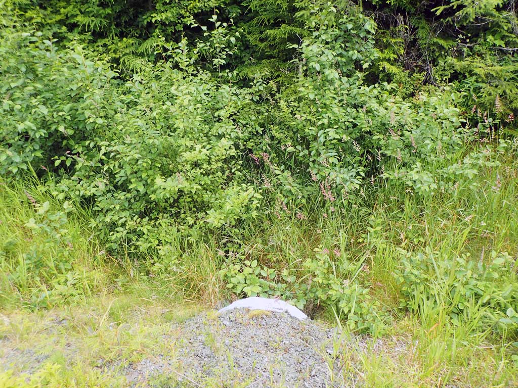
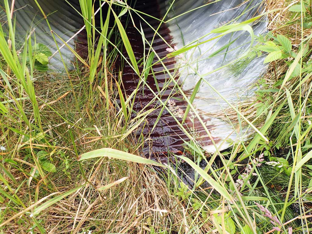
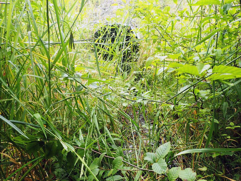
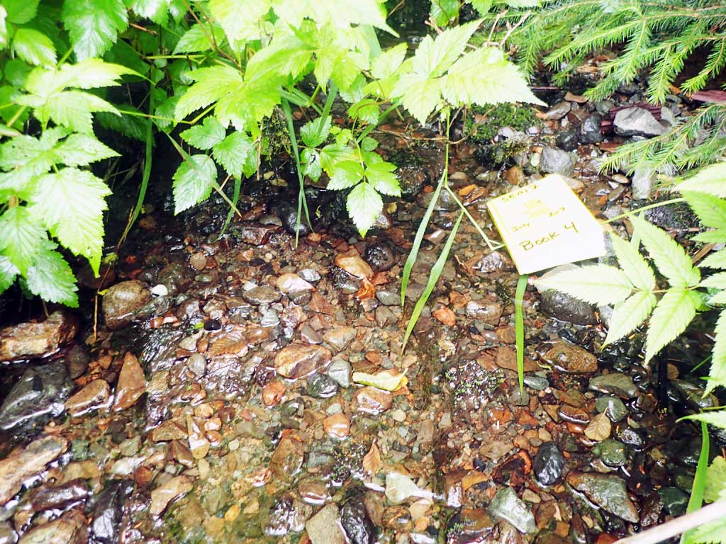
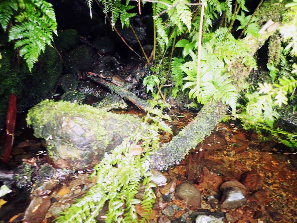
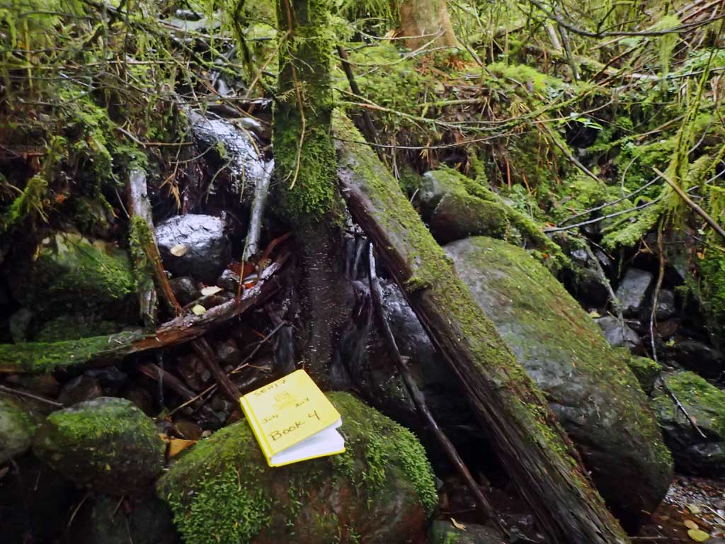
Comments: Stream goes subsurface at outfall, no survey. Below outfall is 20ft high riprap, steep drop into alder. Upstream has trickle of water over boulders and is steep with several 2ft high steps. Too shallow to set traps. Upstream habitat looks marginal.
Culvert Measurements
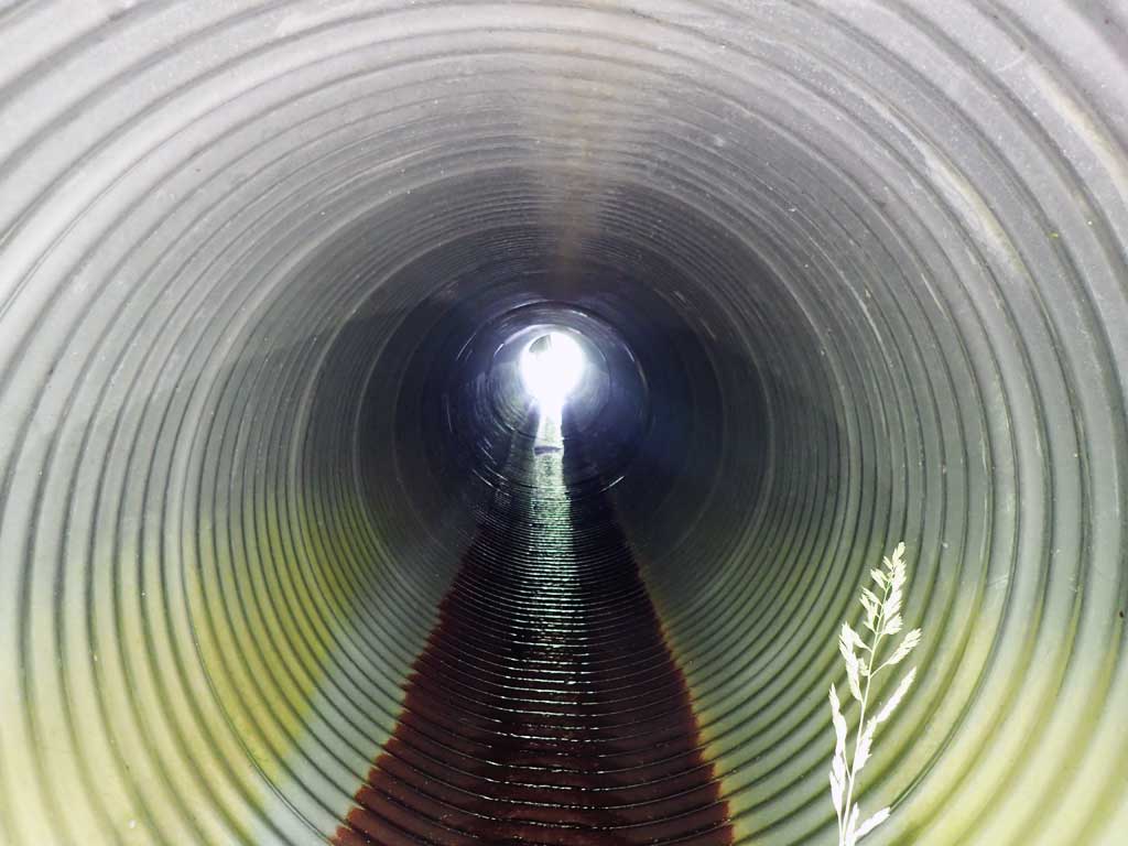
| ID: 1 | Structure Type: Circular pipe (Corrugated steel) | Fish Passage Rating: | |||||||||||||||||||||||||||||||||||||||||
|
|
|
|||||||||||||||||||||||||||||||||||||||||
Comments: Pipe gradient estimated with rangefinder as 1.5%. Stream gradient over 20%. |
|||||||||||||||||||||||||||||||||||||||||||
Culvert Observations:
|
|||||||||||||||||||||||||||||||||||||||||||
Stream Measurements
|
|
| Stream Width Type | Distance From Crossing (ft) |
Stream Width (ft) |
|---|---|---|
| Upstream ordinary high water | 30.0 | 2.50 |
| Upstream ordinary high water | 50.0 | 1.50 |
| Upstream ordinary high water | 70.0 | 1.75 |
Elevations
No elevation data available.
Fish Sampling Efforts
No fish sampling occurred during this survey.
Fish Observations
No fish observations occurred during this survey.
Photos
Questions or comments about this report can be directed to dfg.dsf.webmaster@alaska.gov