Fish Passage Site 10103542
Coordinates (dec. deg.): 55.60843°, -132.99768°
Legal Description: C072S081E21
Region: Southeast
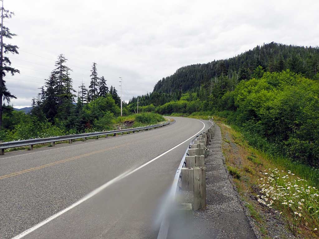
Road Name: Big Salt Lake Road
Datum: NAD83
Quad Name / ITM: Craig C-3
AWC Stream #:
Stream Name: Unnamed
Elevation:
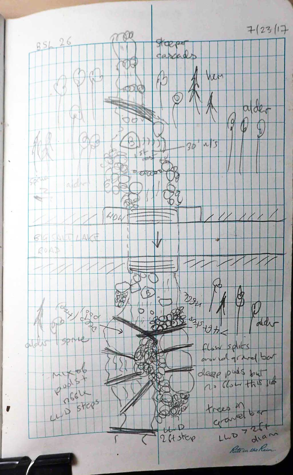
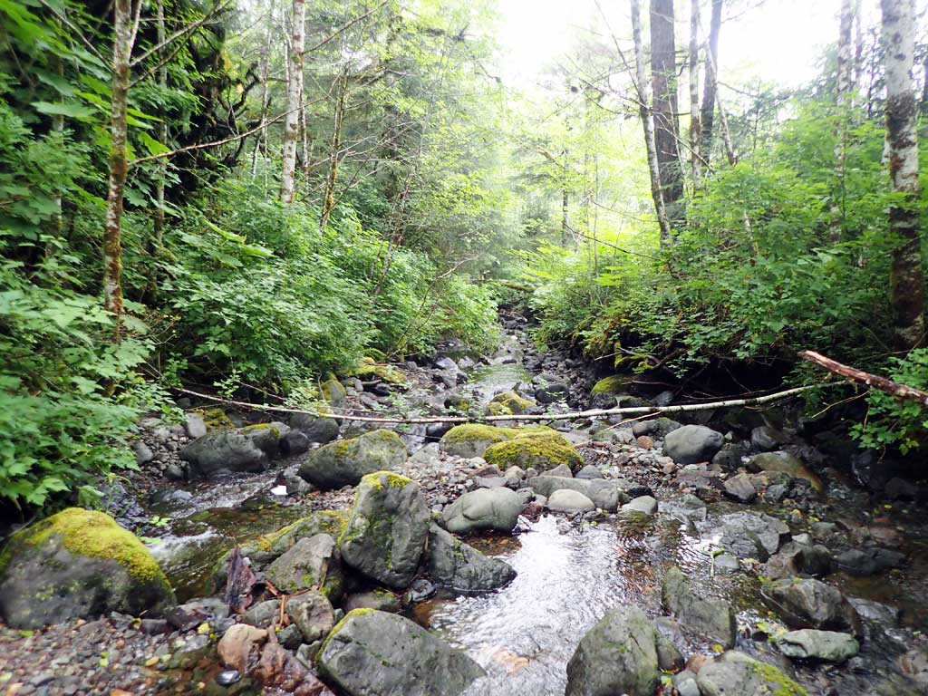
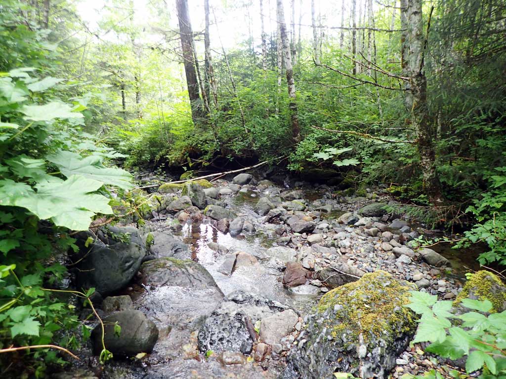
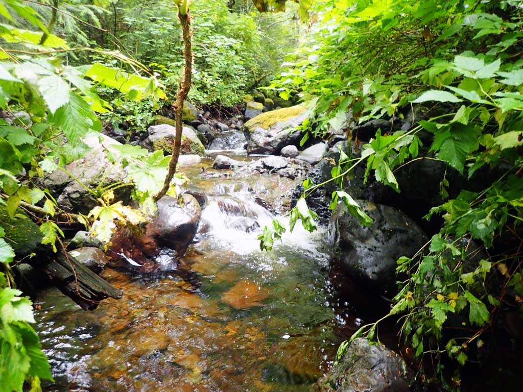
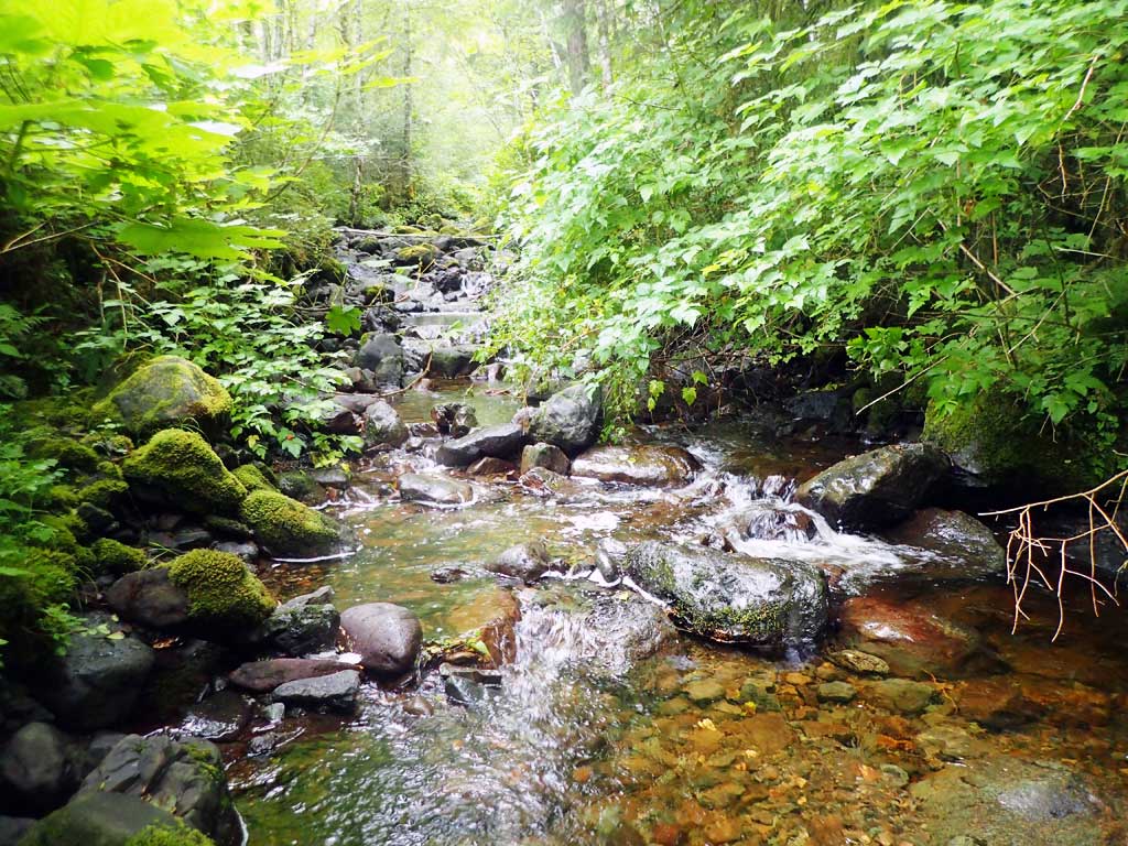
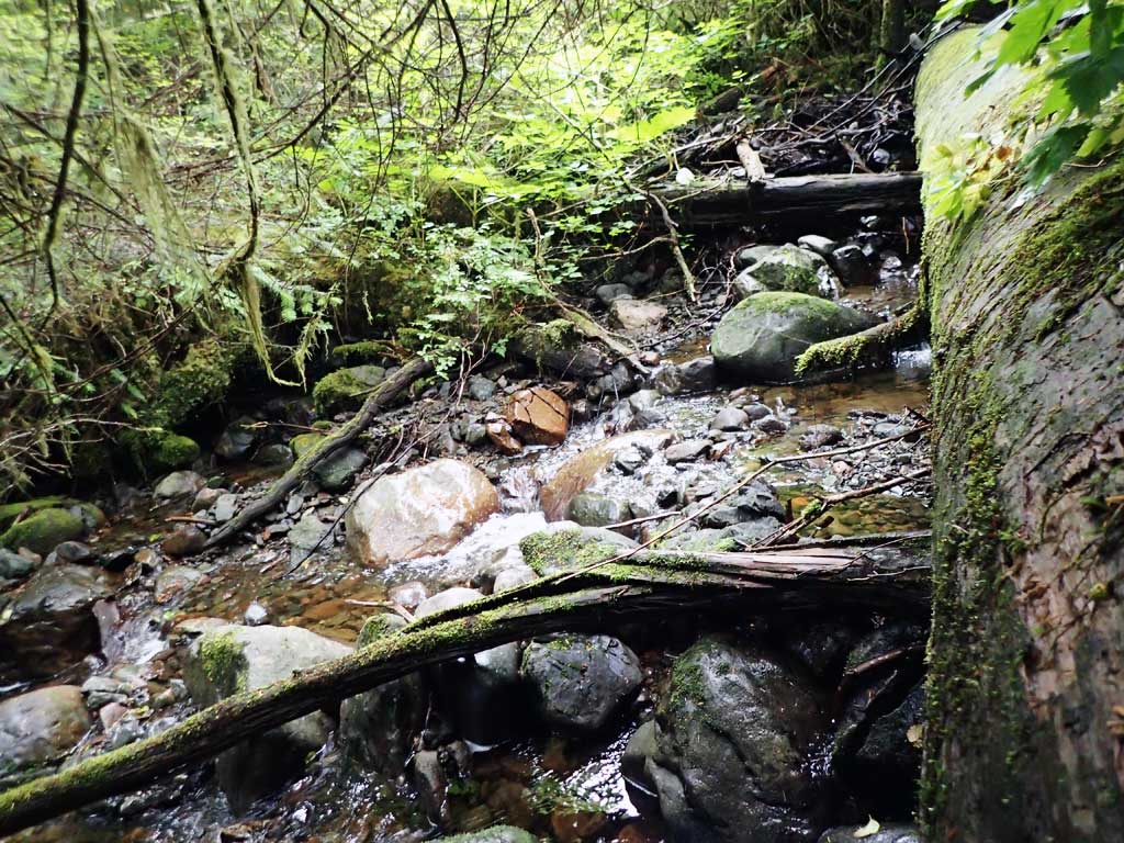
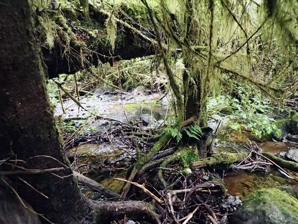
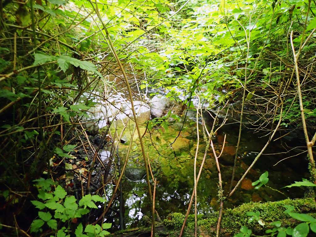
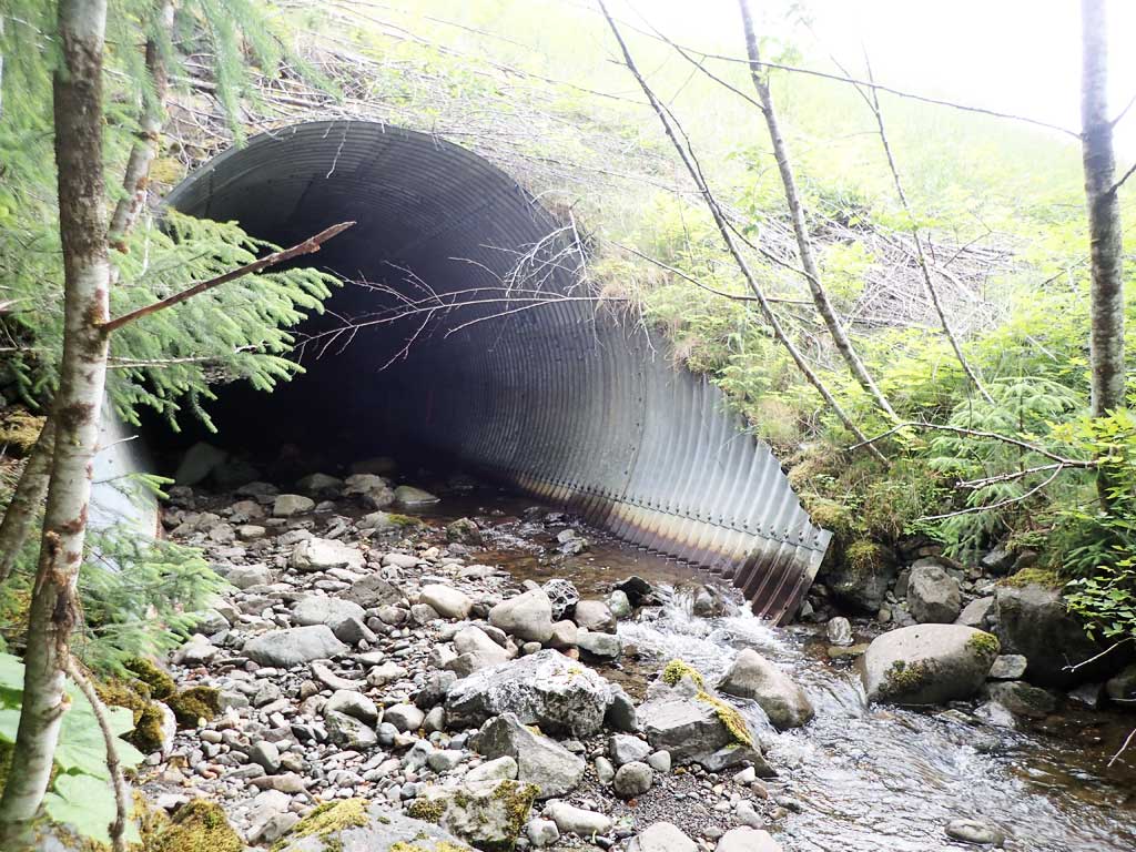
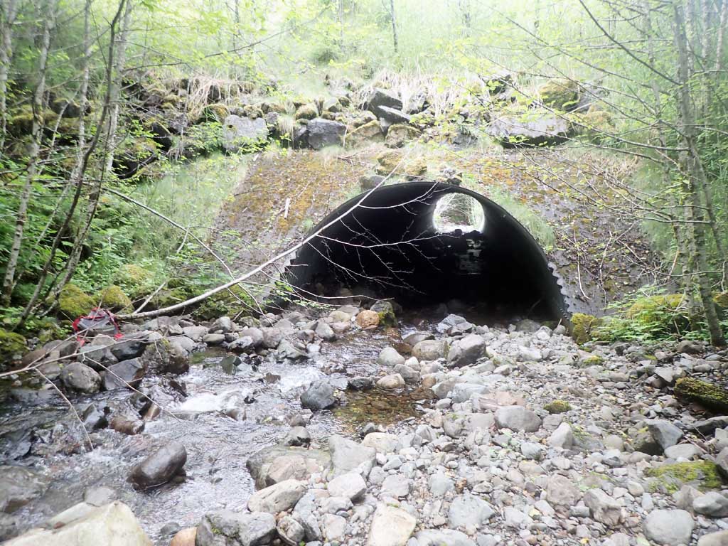
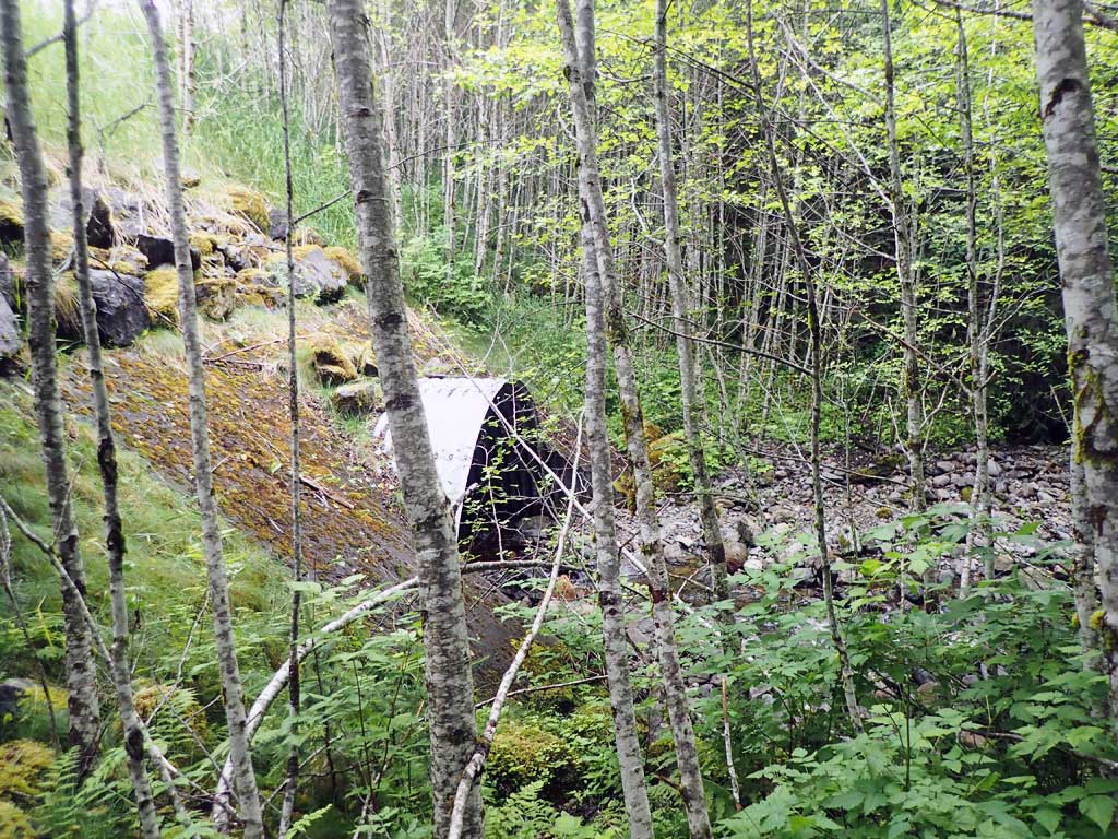
Site Comments: Near milepost 6. Duke Creek Tributary.
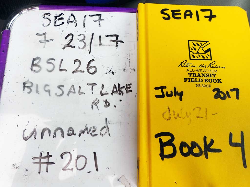
Survey SEA17-BSL26
Observers: Elizabeth Flory, Kelly Petty
Overall Fish Passage Rating:
Tidal: No
Backwatered: No
Step Pools: Yes
Construction Year:
Site Observations:
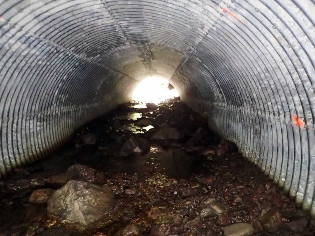
- Culvert gradient gray
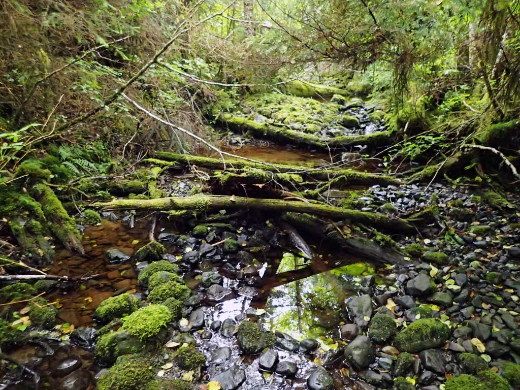
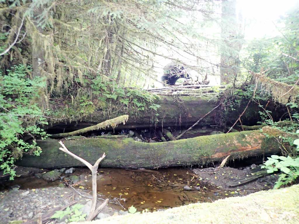
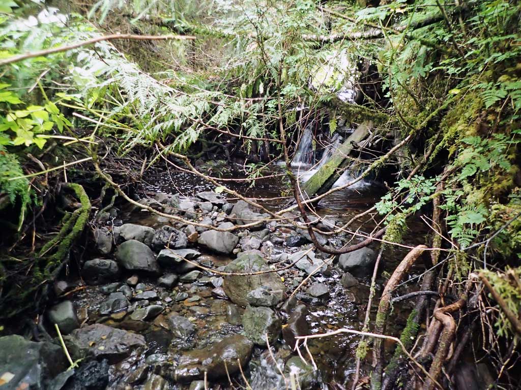
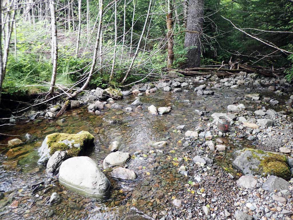
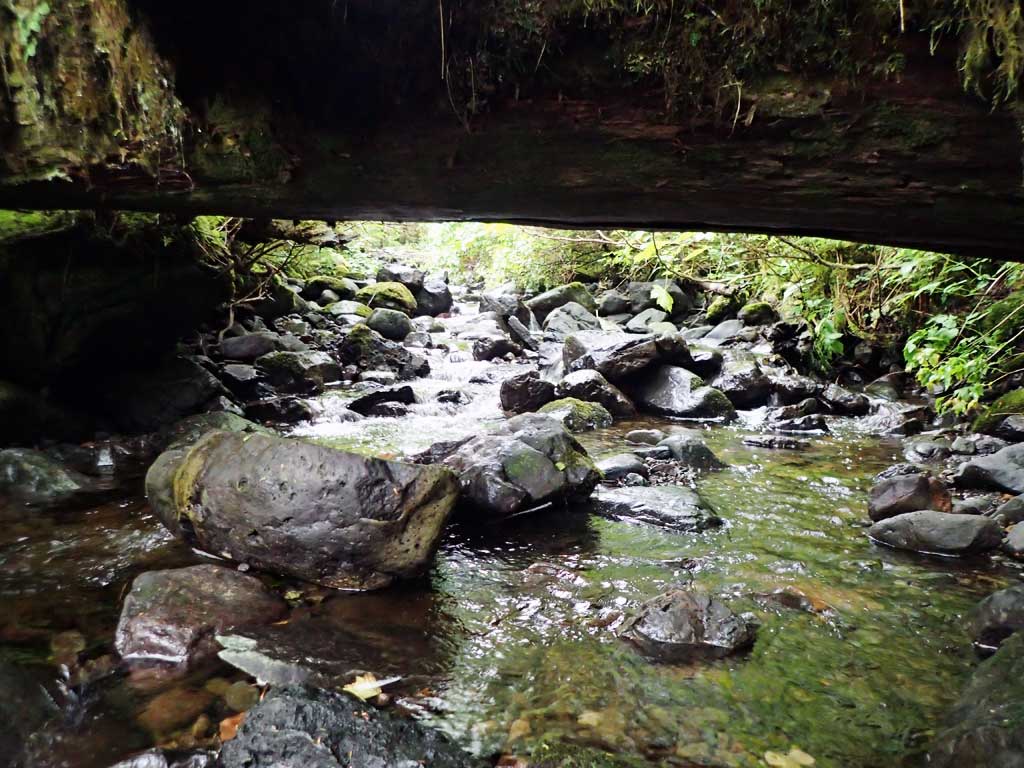
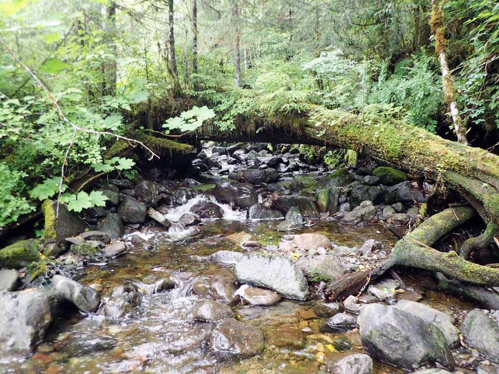
Comments: Borderline embedded, one cutthroat caught upstream. Upstream has some steeper cascades, step pools. Downstream splits around big large woody debris pile with gravel bar. 50ft downstream is 4ft high LWD step. Stream length for gradient calculation a bit short.
Culvert Measurements
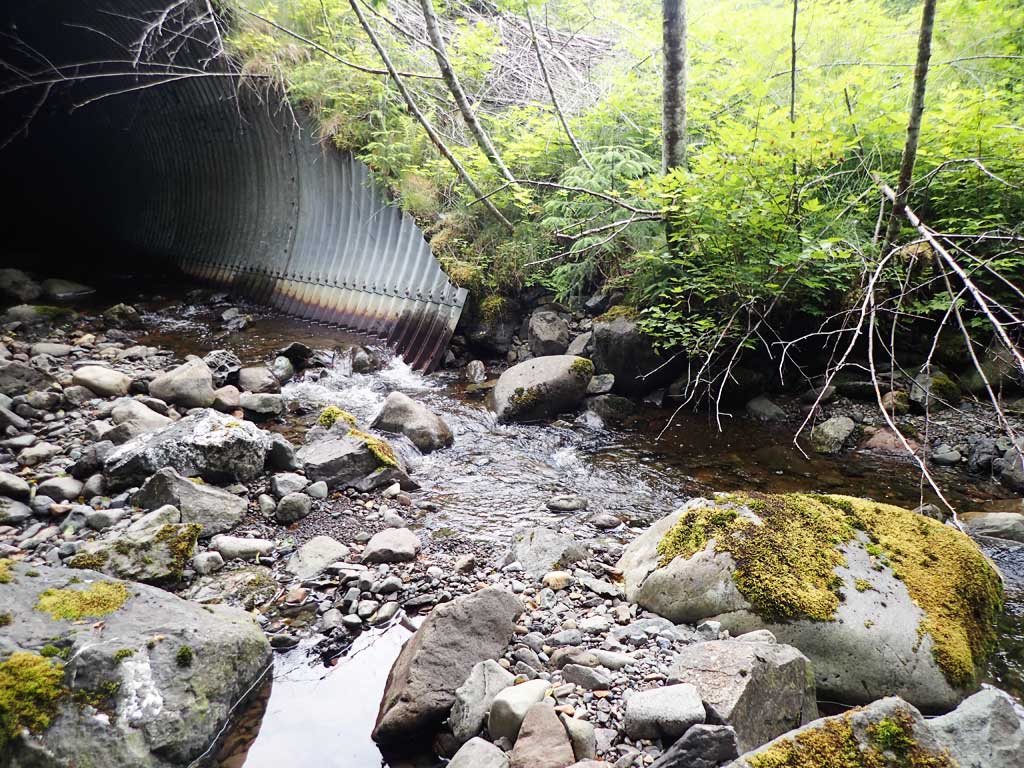
| ID: 1 | Structure Type: Circular pipe (Structural aluminum plate) | Fish Passage Rating: | ||||||||||||||||||||||||||||||||||||||||||
|
|
|
||||||||||||||||||||||||||||||||||||||||||
Comments: Also concrete headwall at inlet. Constructed step pools inside pipe. Culvert gradient is water surface elevation through pipe, tops of pipes were not surveyed due to safety concerns. Culvert very close to being embedded and rated as an embedded culvert. Not set to within 1% of stream gradient, but actual pipe elevations not taken. Photos show that outlet substrate is being scoured away, rated as Gray for now, but does not currently look like a barrier, but that could change with loss of substrate. Top of culvert length 125'. Miters at each end are about 9'. |
||||||||||||||||||||||||||||||||||||||||||||
Culvert Observations:
|
||||||||||||||||||||||||||||||||||||||||||||
Stream Measurements
|
|
| Stream Width Type | Distance From Crossing (ft) |
Stream Width (ft) |
|---|---|---|
| Upstream ordinary high water | 20.0 | 11.25 |
| Upstream ordinary high water | 40.0 | 12.25 |
| Upstream ordinary high water | 60.0 | 10.25 |
Elevations
| Locator ID | Culvert Number |
River Distance (ft)1 |
Distance From Crossing (ft)2 |
Relative Elevation (ft) |
|---|---|---|---|---|
| Road Elev | 137.24 | |||
| D/S Grade Ctrl (Thalweg) | 0.00 | 96.10 | ||
| D/S Water Surface Elev | 0.00 | 96.28 | ||
| D/S Grade Ctrl (Thalweg) | 41.00 | 98.15 | ||
| D/S Water Surface Elev | 41.00 | 98.52 | ||
| Max Pool Depth | 52.00 | 97.93 | ||
| D/S Water Surface Elev | 52.00 | 98.63 | ||
| D/S Water Surface Elev | 70.00 | 98.86 | ||
| Outlet Invert (end of mitre on substrate) | 70.00 | 98.61 | ||
| Inlet Culvert Invert (end of mitre on substrate) | 214.00 | 104.66 | ||
| U/S Water Surface Elev | 214.00 | 105.19 | ||
| U/S Grade Ctrl (Thalweg) | 226.00 | 105.67 | ||
| U/S Water Surface Elev | 226.00 | 106.03 | ||
| U/S Grade Ctrl (Thalweg) | 254.00 | 108.31 | ||
| U/S Water Surface Elev | 254.00 | 108.70 | ||
| U/S Grade Ctrl (Thalweg) | 275.00 | 110.24 | ||
| U/S Water Surface Elev | 275.00 | 110.41 | ||
| U/S Grade Ctrl (Thalweg) | 326.00 | 113.61 | ||
| U/S Water Surface Elev | 326.00 | 114.02 | ||
| U/S Grade Ctrl (Thalweg) | 386.00 | 119.14 | ||
| U/S Water Surface Elev | 386.00 | 119.64 |
Notes:
- River distance is measured continuously throughout the survey reach along the thalweg of the stream.
- Measured from each end of the crossing along the thalweg of the stream.
Fish Sampling Efforts
| Gear Type: Minnow Trap (A) | Trap Duration(h): 1.25 | |
| Comments: 50ft upstream, 1 cutthroat | ||
| Gear Type: Minnow Trap (B) | Trap Duration(h): 1.25 | |
| Comments: 50ft downstream, no fish | ||
Fish Observations
| Species: juvenile cutthroat trout | Life History: | ||
| Total Fish Observed: 1 | Fish Measured: 1 | Fork Lengths (mm) Min: 103 Max: 103 Mean: 103 | |
| Collected/Observed by Gear Type: Upstream Minnow Trap (1) | |||
Photos


Questions or comments about this report can be directed to dfg.dsf.webmaster@alaska.gov