Fish Passage Site 10103541
Coordinates (dec. deg.): 55.60801°, -132.99983°
Legal Description: C072S081E21
Region: Southeast
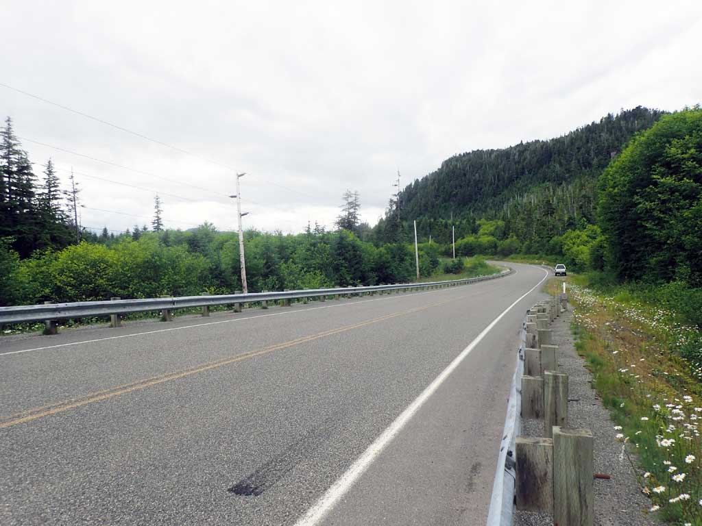
Road Name: Big Salt Lake Road
Datum: NAD83
Quad Name / ITM: Craig C-3
AWC Stream #:
Stream Name: Unnamed
Elevation:
Site Comments: None
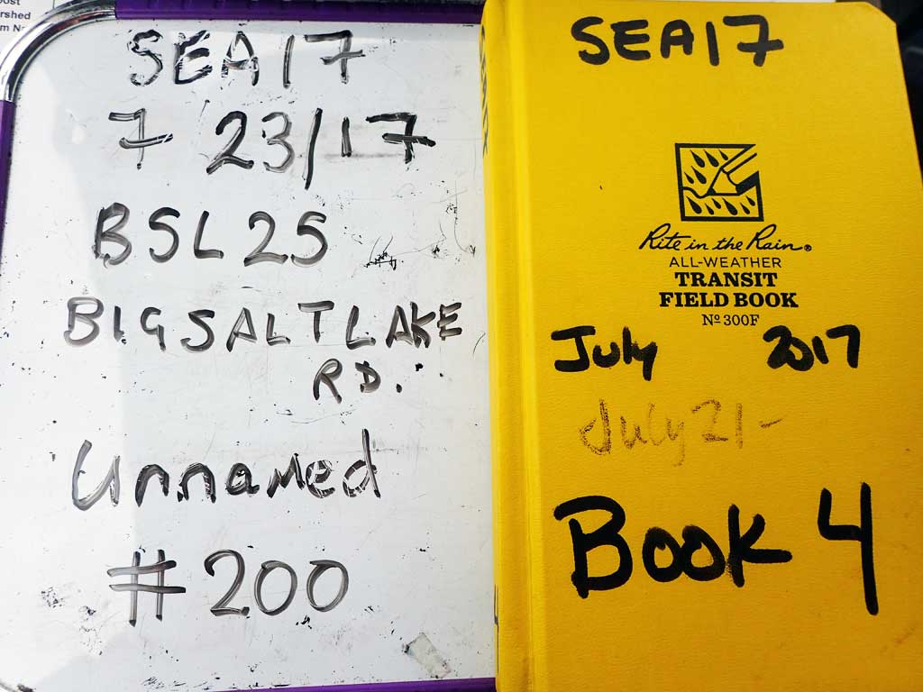
Survey SEA17-BSL25
Observers: Elizabeth Flory, Kelly Petty
Overall Fish Passage Rating:
Tidal: No
Backwatered: No
Step Pools: No
Construction Year:
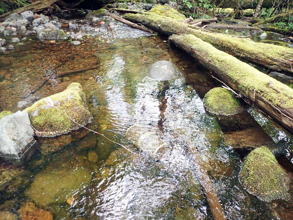
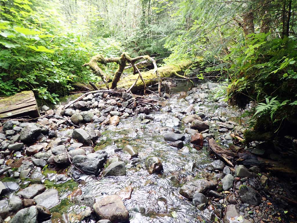
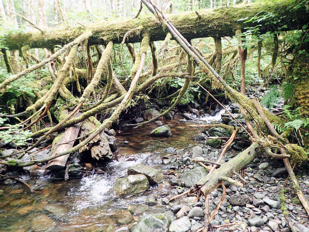
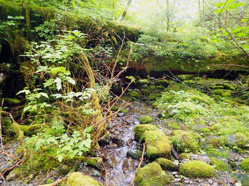
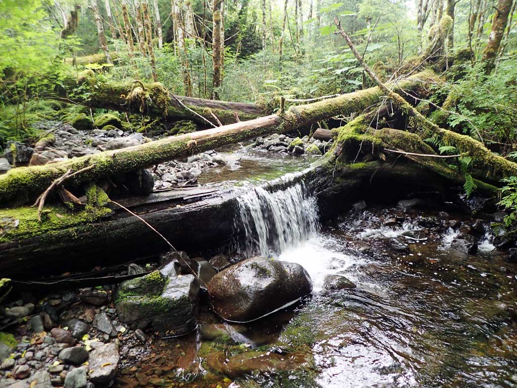
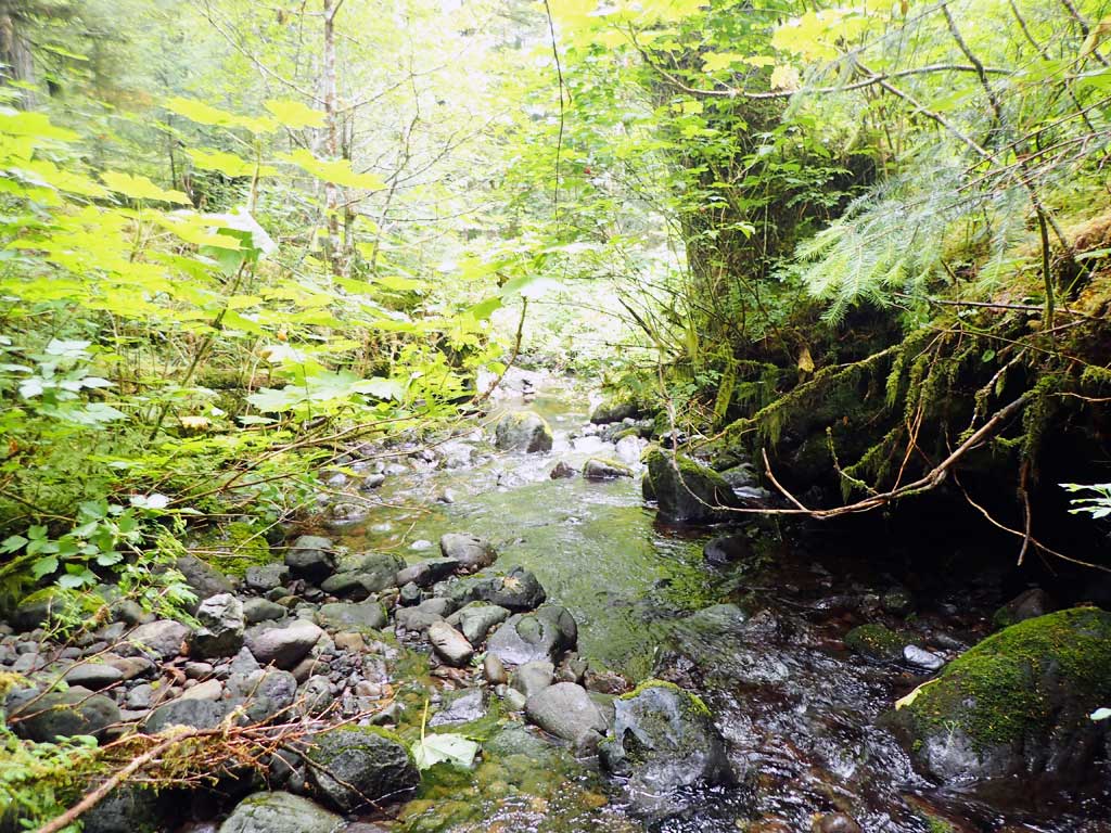
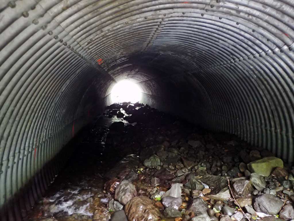
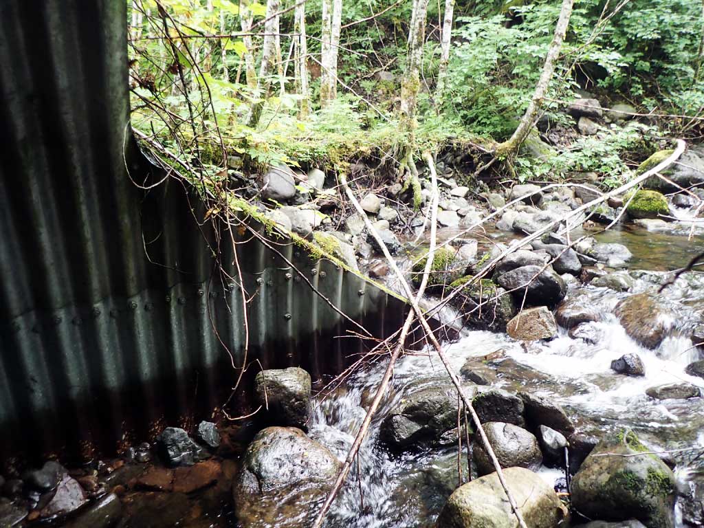
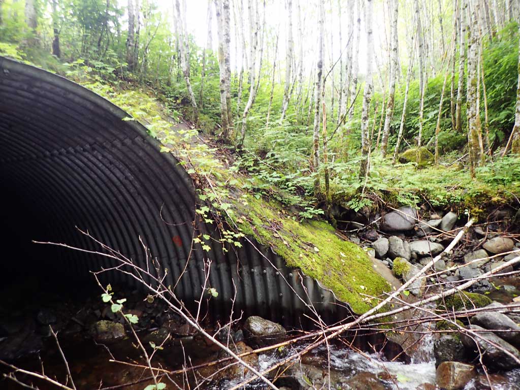
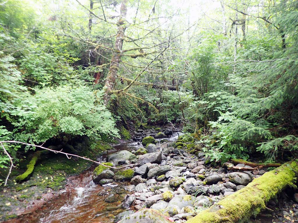
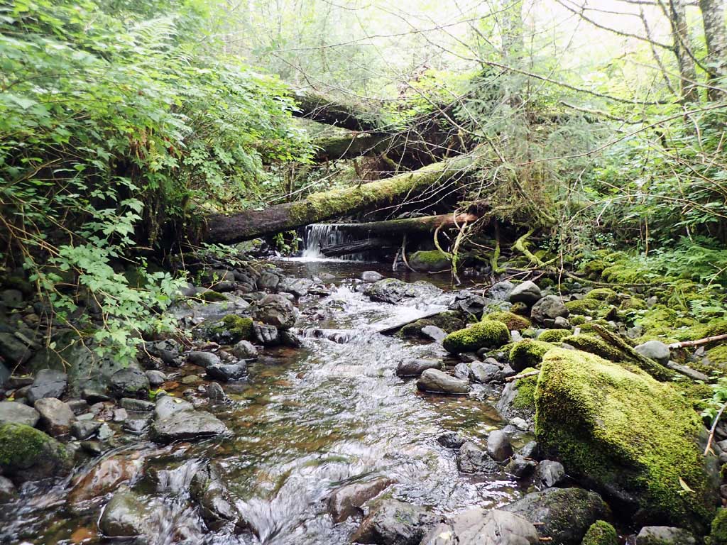
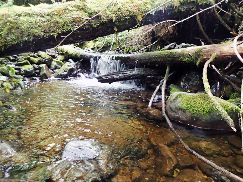
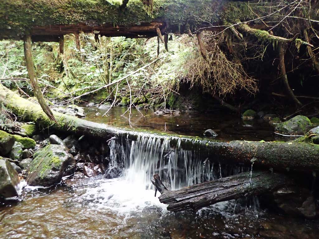
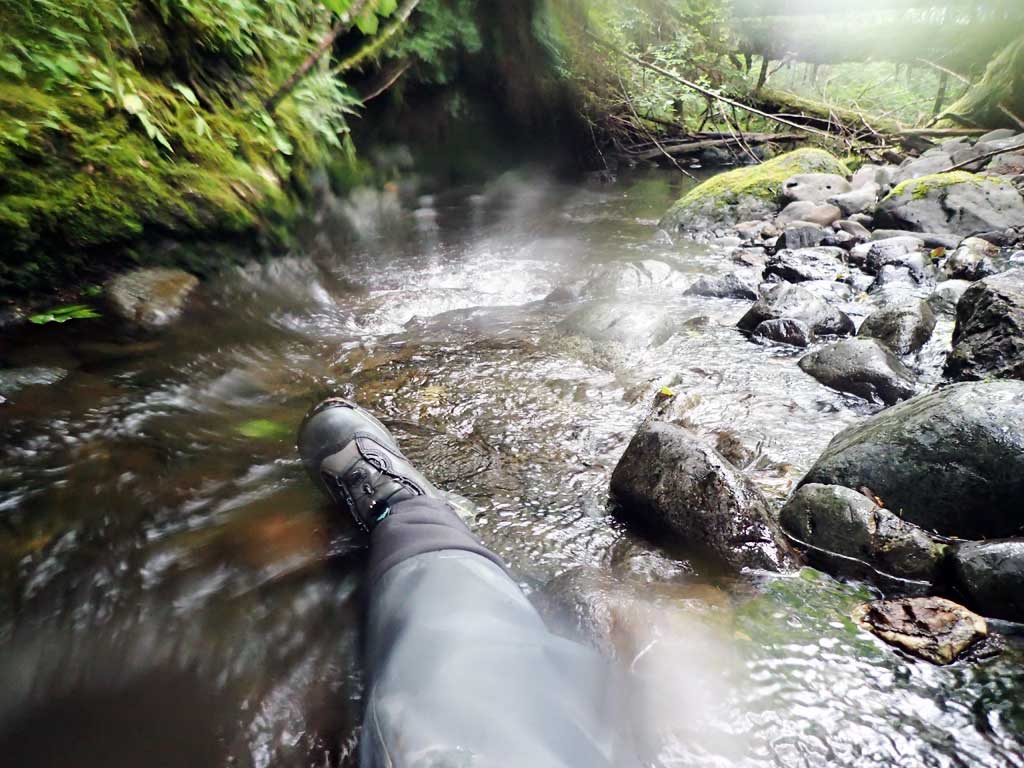
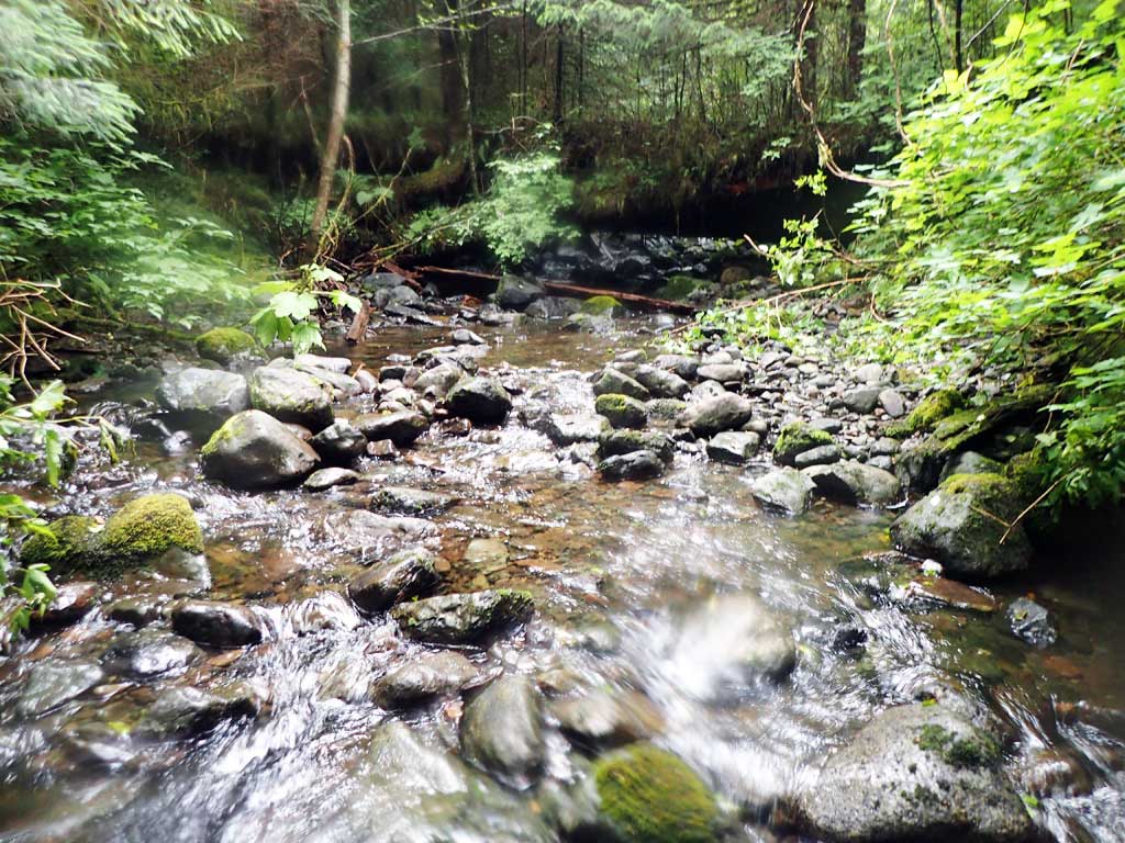
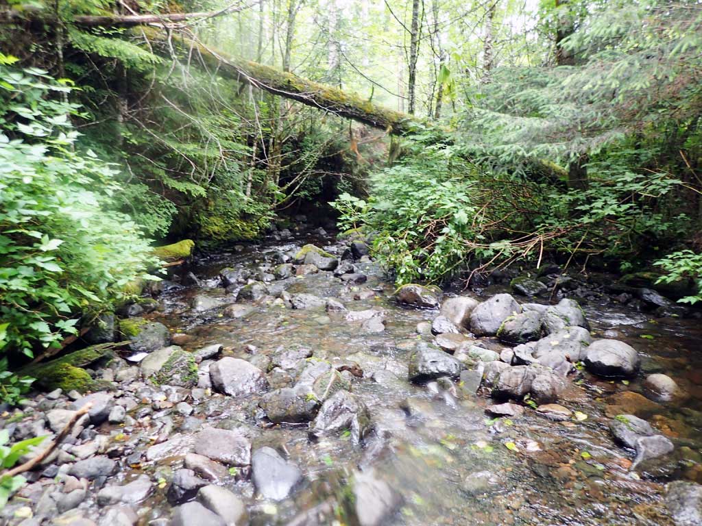
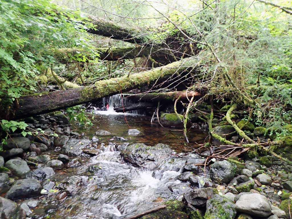
Comments: Downstream has lots of large woody debris, deep pools, briaded around gravel bars. Upstream has slippery boulders. Safety concerns pervented surveying culvert tops.
Culvert Measurements
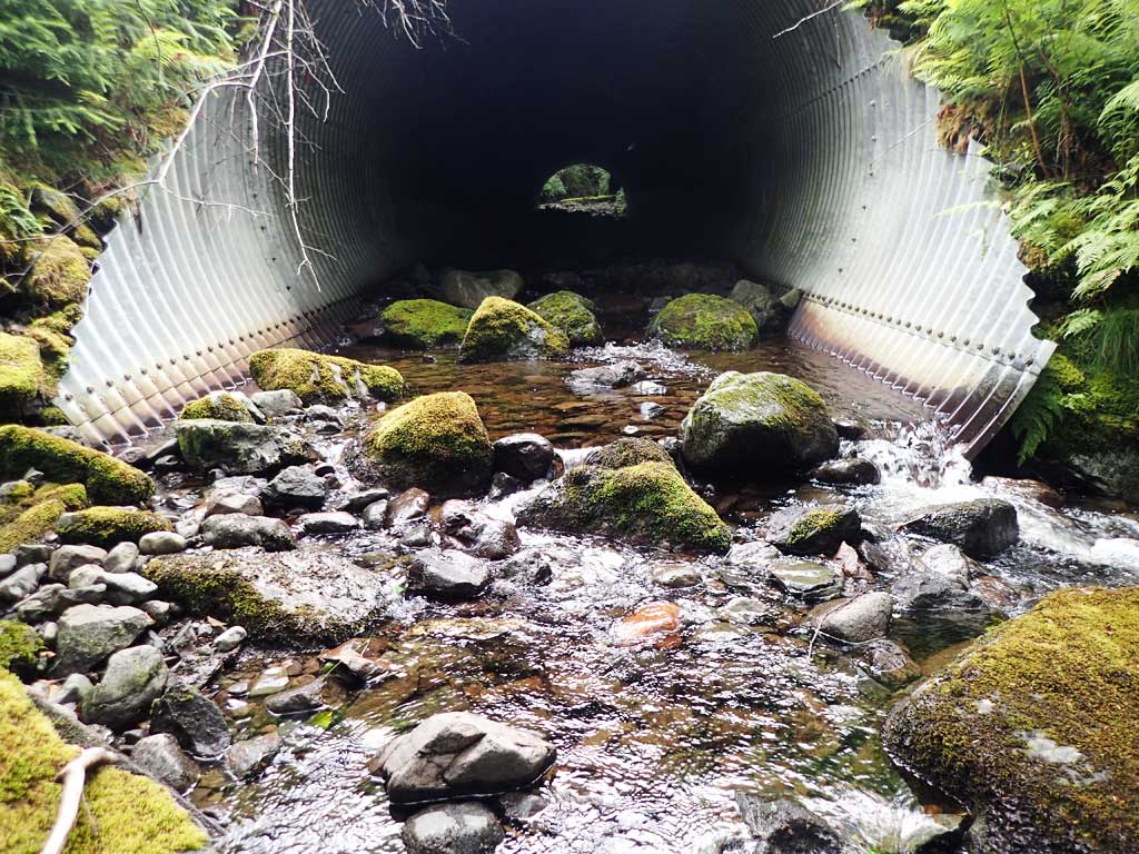
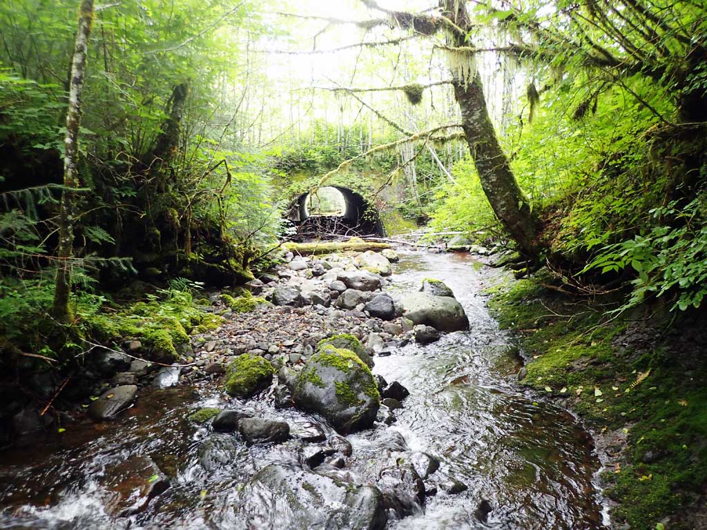
| ID: 1 | Structure Type: Circular pipe (Structural steel plate) | Fish Passage Rating: | |||||||||||||||||||||||||||||||||||||||||
|
|
|
|||||||||||||||||||||||||||||||||||||||||
Comments: Almost embedded. Observed one fish 60ft downstream about 3 inches long. Culvert gradient is water surface gradient through cuvlert, invert gradient on substrate is 4.65%. Safety concerns prevented accessing culvert tops. Top of culvert lengthis 120'. |
|||||||||||||||||||||||||||||||||||||||||||
Stream Measurements
|
|
| Stream Width Type | Distance From Crossing (ft) |
Stream Width (ft) |
|---|---|---|
| Upstream ordinary high water | 70.0 | 10.25 |
| Upstream ordinary high water | 100.0 | 11.00 |
| Upstream ordinary high water | 120.0 | 12.00 |
Elevations
| Locator ID | Culvert Number |
River Distance (ft)1 |
Distance From Crossing (ft)2 |
Relative Elevation (ft) |
|---|---|---|---|---|
| Road Elev | 136.15 | |||
| D/S Grade Ctrl (Thalweg) | 0.00 | 94.00 | ||
| D/S Water Surface Elev | 0.00 | 94.18 | ||
| D/S Grade Ctrl (Thalweg) | 35.00 | 98.42 | ||
| D/S Water Surface Elev | 35.00 | 98.92 | ||
| D/S Water Surface Elev | 51.00 | 99.57 | ||
| Max Pool Depth | 51.00 | 98.31 | ||
| D/S Water Surface Elev | 70.00 | 100.39 | ||
| D/S Grade Ctrl (Thalweg) | 70.00 | 100.14 | ||
| Outlet Invert (end of mitre, on substrate) | 71.00 | 100.14 | ||
| D/S Water Surface Elev | 71.00 | 100.87 | ||
| Inlet Culvert Invert (end of mitre, on substrate) | 205.00 | 106.09 | ||
| U/S Water Surface Elev | 205.00 | 106.17 | ||
| U/S Water Surface Elev | 208.00 | 107.05 | ||
| U/S Grade Ctrl (Thalweg) | 208.00 | 105.78 | ||
| U/S Grade Ctrl (Thalweg) | 241.00 | 107.44 | ||
| U/S Water Surface Elev | 241.00 | 107.85 | ||
| U/S Grade Ctrl (Thalweg) | 265.00 | 109.14 | ||
| U/S Water Surface Elev | 265.00 | 109.42 | ||
| U/S Water Surface Elev | 327.00 | 112.58 | ||
| U/S Grade Ctrl (Thalweg) | 327.00 | 113.89 |
Notes:
- River distance is measured continuously throughout the survey reach along the thalweg of the stream.
- Measured from each end of the crossing along the thalweg of the stream.
Fish Sampling Efforts
| Gear Type: Minnow Trap (A) | Trap Duration(h): 1.5 | |
| Comments: no fish, 50ft upstream | ||
| Gear Type: Minnow Trap (B) | Trap Duration(h): 1.5 | |
| Comments: 50ft downstream, no fish caught | ||
| Gear Type: Visual Observation, Ground (C) | ||
| Comments: Unidentified fish observed about 60 feet downstream, estimated length, 3 inches. | ||
Fish Observations
No fish observations occurred during this survey.
Photos


Questions or comments about this report can be directed to dfg.dsf.webmaster@alaska.gov