Fish Passage Site 10103540
Coordinates (dec. deg.): 55.60361°, -133.00426°
Legal Description: C072S081E28
Region: Southeast
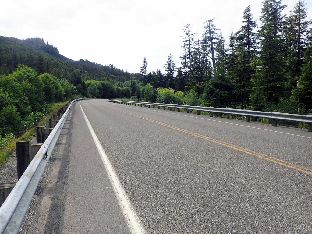
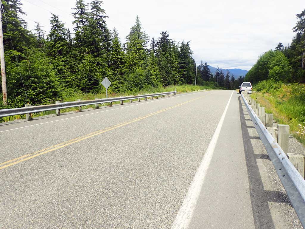
Road Name: Big Salt Lake Road
Datum: NAD83
Quad Name / ITM: Craig C-4
AWC Stream #: 103-60-10350-2071
Stream Name: Unnamed
Elevation:
Site Comments: None
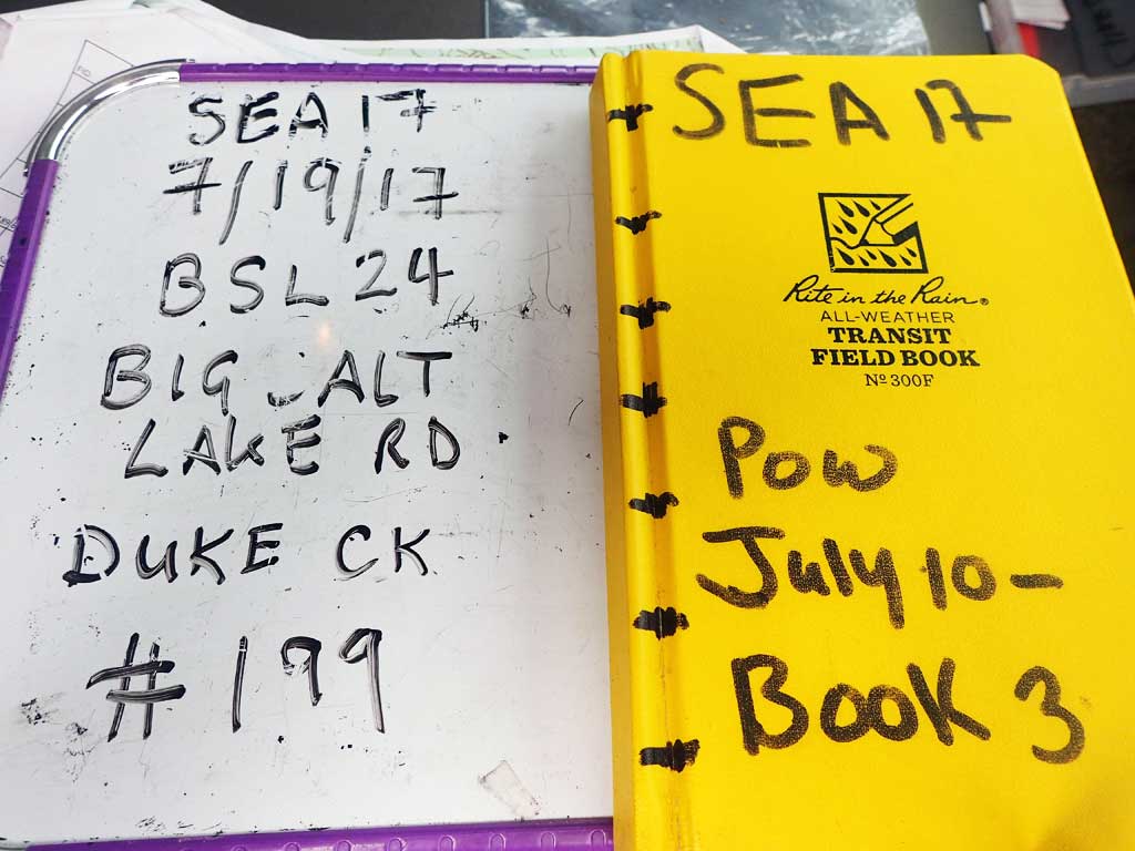
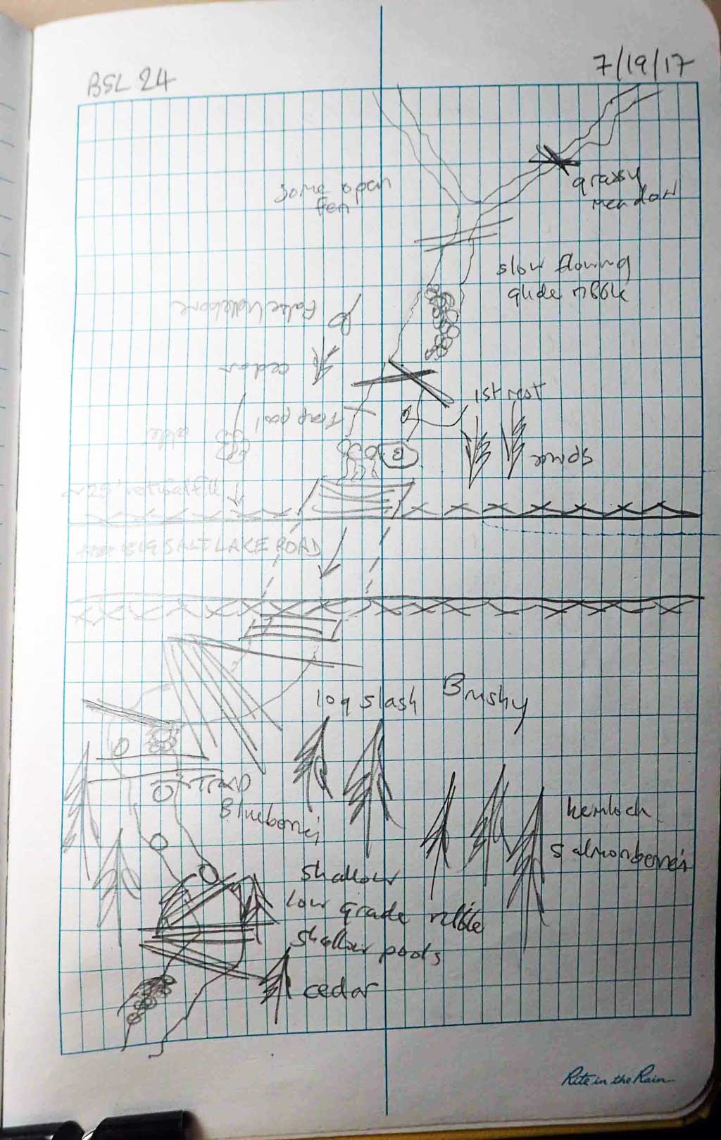
Survey SEA17-BSL24
Observers: Elizabeth Flory, Mark Eisenman
Overall Fish Passage Rating:
Tidal: No
Backwatered: No
Step Pools: No
Construction Year:
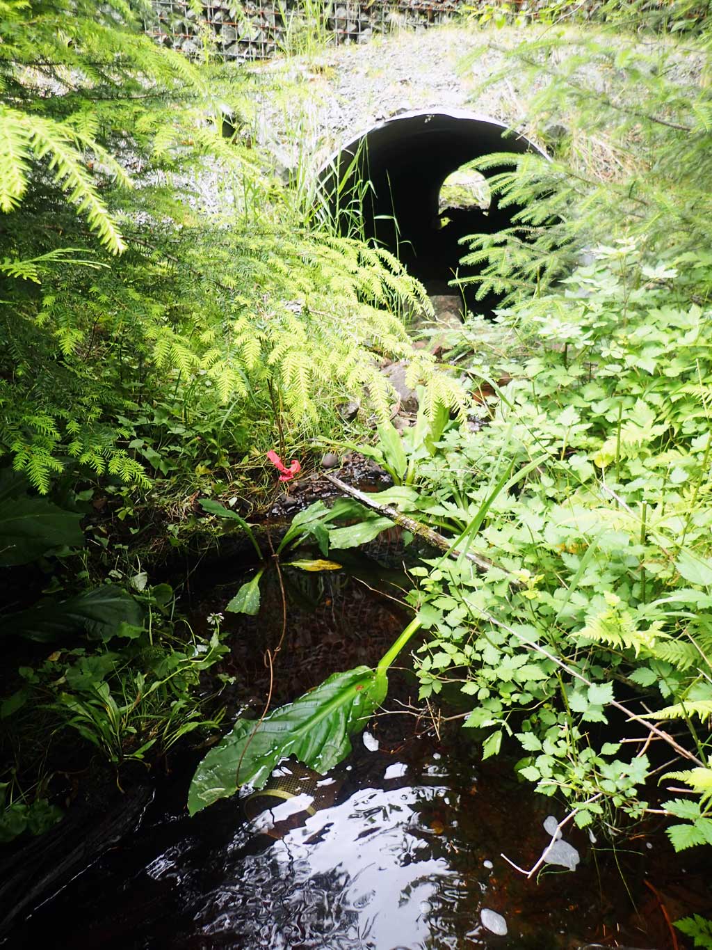
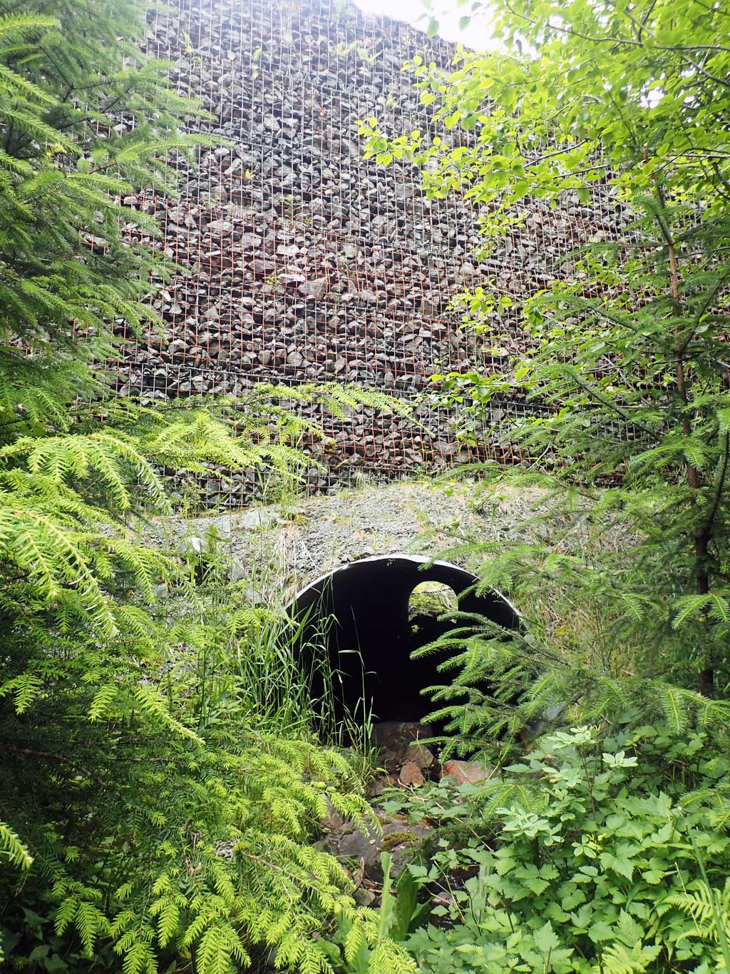
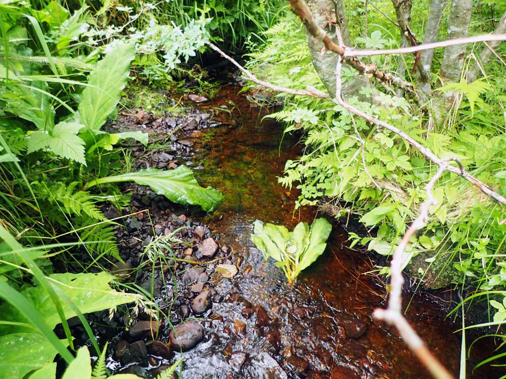
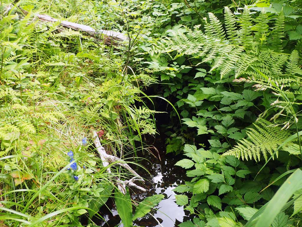
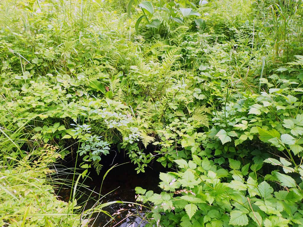
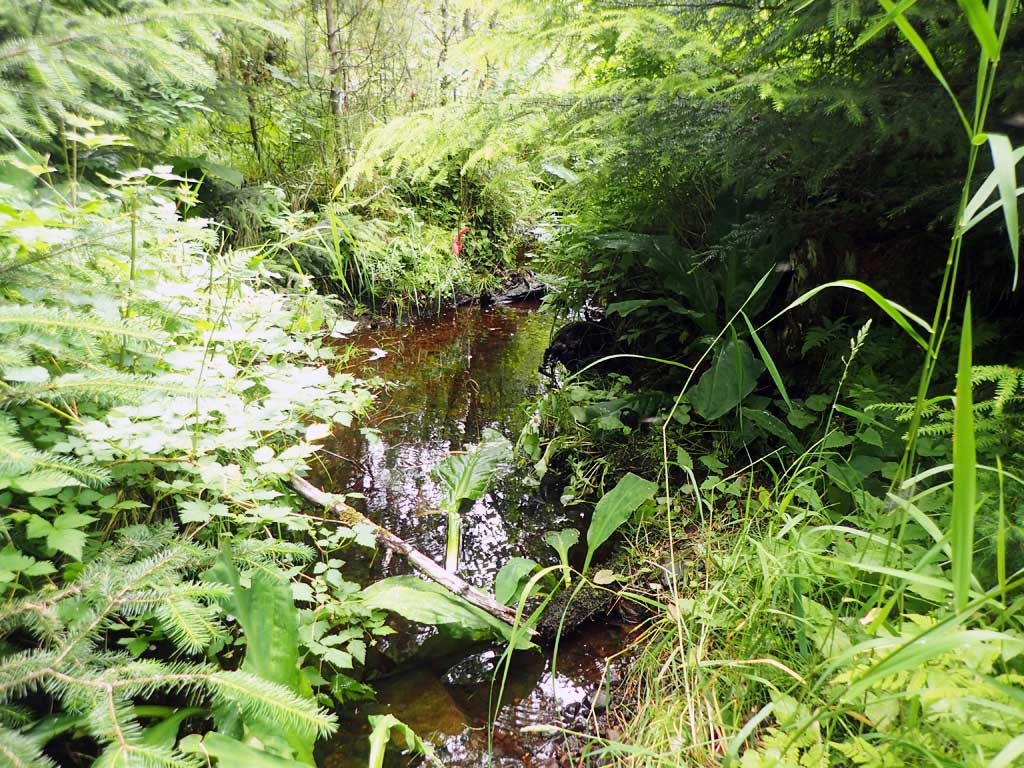
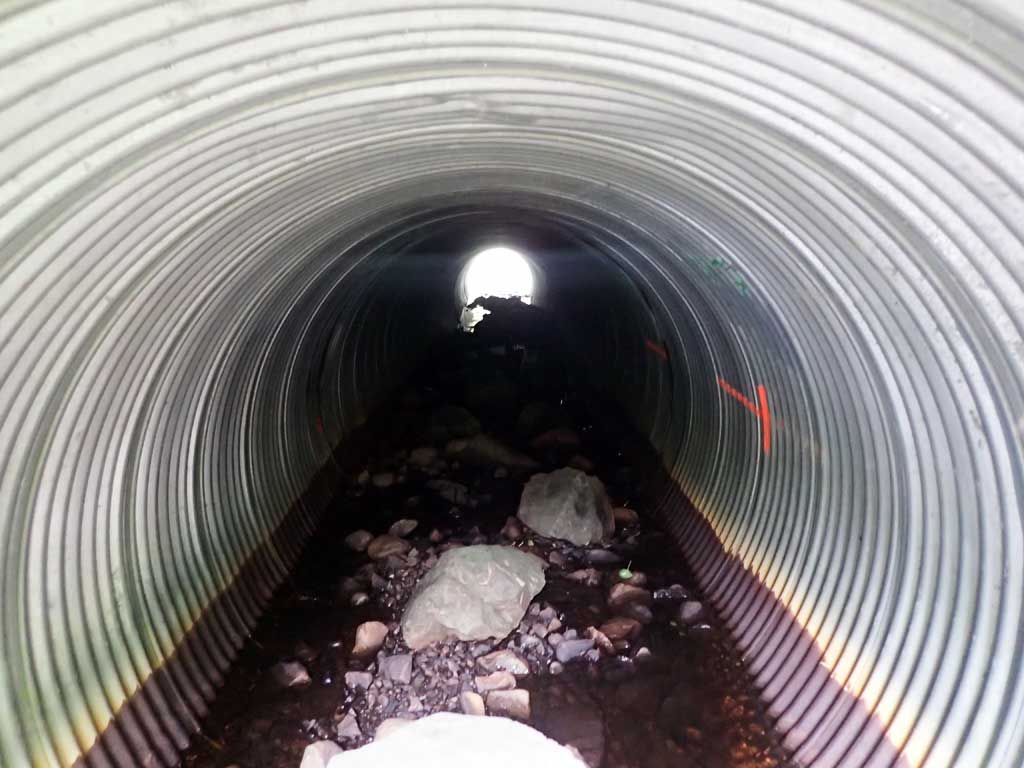
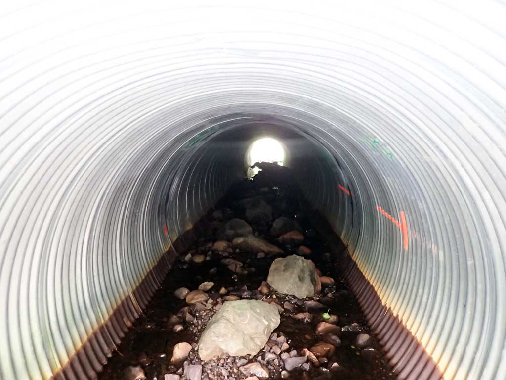
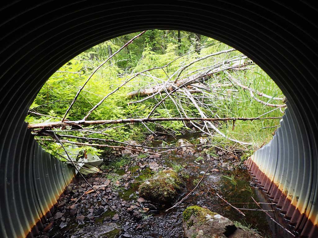
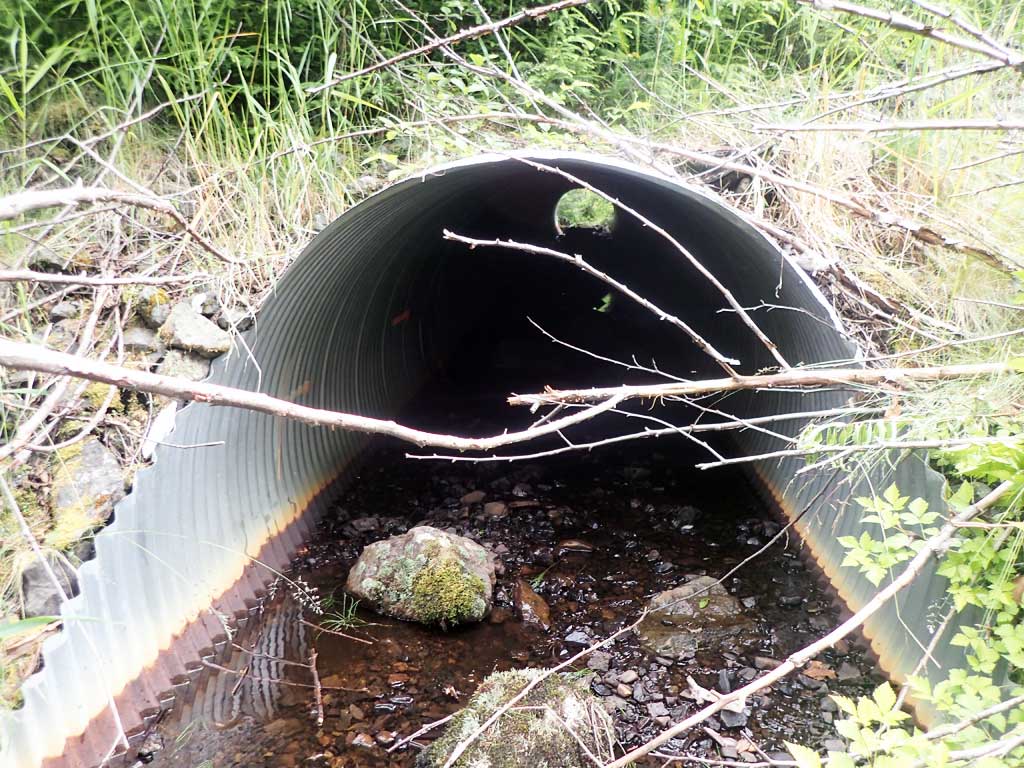
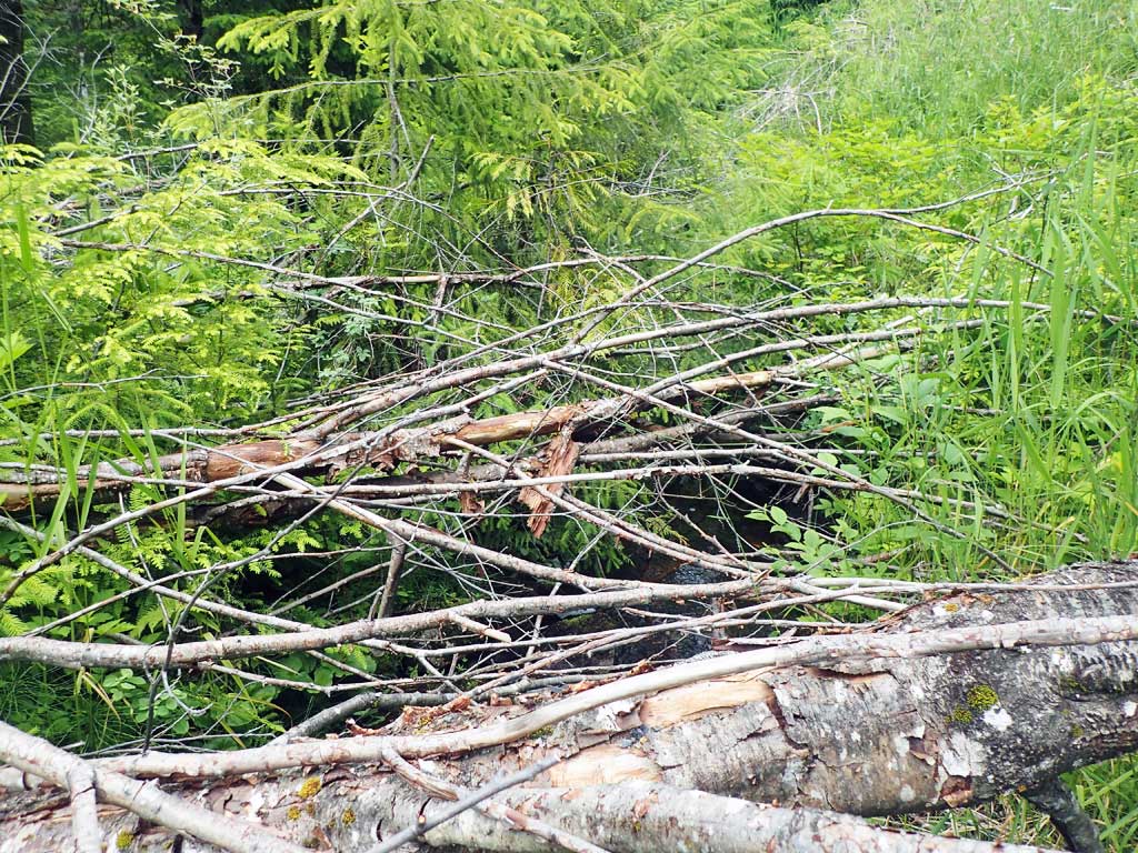
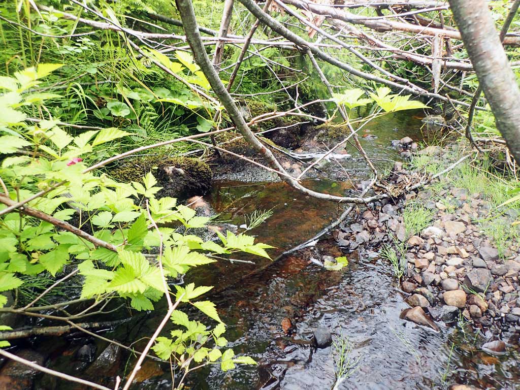
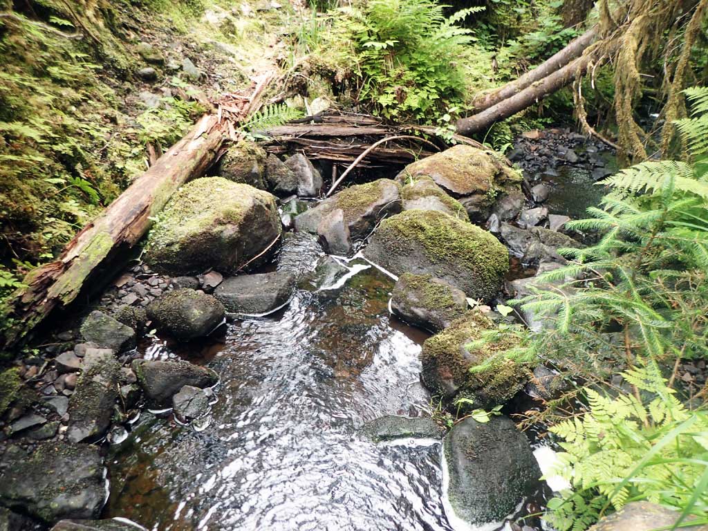
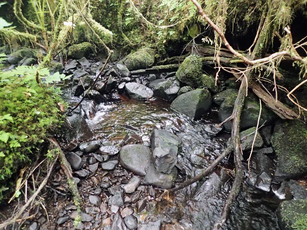
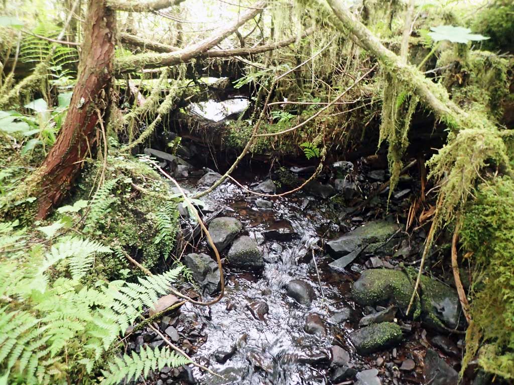
Comments: Stream splits 60ft upstream. Culvert close to embedded. Stream gradient length short due to dense foliage.
Culvert Measurements
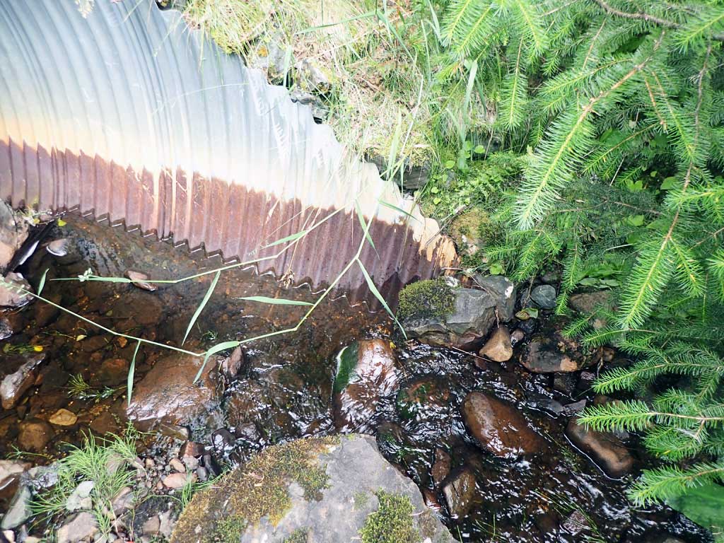
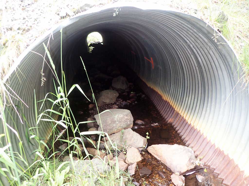
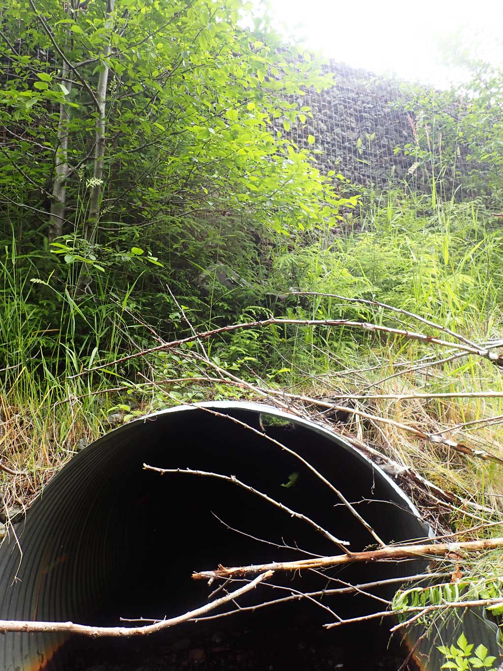
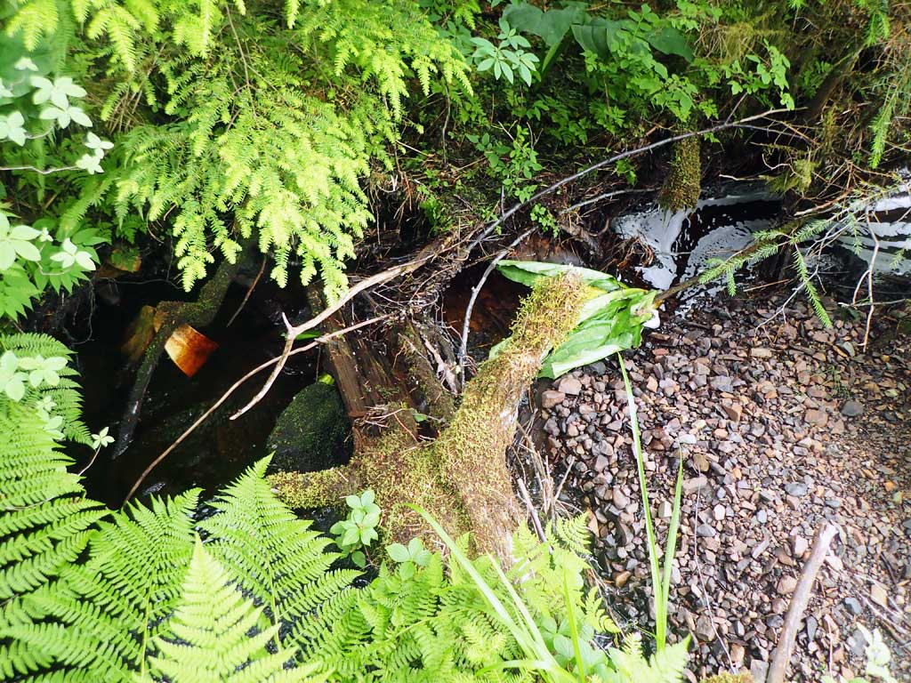
| ID: 1 | Structure Type: Circular pipe (Corrugated steel) | Fish Passage Rating: | ||||||||||||||||||||||||||||||||||||||||||
|
|
|
||||||||||||||||||||||||||||||||||||||||||
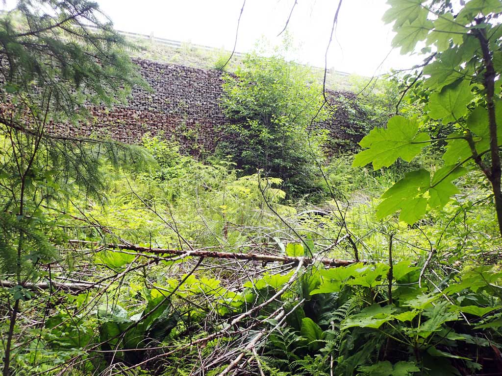
Comments: Sedimentation not recorded. Close to being embedded. 16-20ft fill over culvert. Baffles holding sediment. Top of culvert length 85'. |
||||||||||||||||||||||||||||||||||||||||||||
Stream Measurements
|
|
| Stream Width Type | Distance From Crossing (ft) |
Stream Width (ft) |
|---|---|---|
| Downstream ordinary high water | 10.0 | 3.25 |
| Downstream ordinary high water | 70.0 | 3.75 |
| Downstream ordinary high water | 90.0 | 3.50 |
| Upstream ordinary high water | 30.0 | 3.00 |
| Upstream ordinary high water | 40.0 | 3.75 |
| Upstream ordinary high water | 50.0 | 5.50 |
Elevations
| Locator ID | Culvert Number |
River Distance (ft)1 |
Distance From Crossing (ft)2 |
Relative Elevation (ft) |
|---|---|---|---|---|
| D/S Grade Ctrl (Thalweg) | 0.00 | 95.76 | ||
| D/S Water Surface Elev | 0.00 | 95.90 | ||
| D/S Water Surface Elev | 48.00 | 97.70 | ||
| D/S Thalweg | 48.00 | 98.55 | ||
| D/S Grade Ctrl (Thalweg) | 67.00 | 98.78 | ||
| D/S Water Surface Elev | 67.00 | 99.01 | ||
| Outlet Invert | 76.00 | 99.37 | ||
| D/S Water Surface Elev | 76.00 | 99.43 | ||
| Outlet Culvert Top | 81.00 | 104.51 | ||
| Inlet Culvert Top | 175.30 | 108.33 | ||
| U/S Water Surface Elev | 180.30 | 103.16 | ||
| Inlet Culvert Invert | 180.30 | 102.93 | ||
| U/S Grade Ctrl (Thalweg) (edge of pool, first resting) | 183.30 | 103.10 | ||
| U/S Water Surface Elev | 183.30 | 103.25 |
Notes:
- River distance is measured continuously throughout the survey reach along the thalweg of the stream.
- Measured from each end of the crossing along the thalweg of the stream.
Fish Sampling Efforts
| Gear Type: Minnow Trap (A) | Trap Duration(h): 2.25 | |
| Comments: 1 cutthroat, 20ft upstream | ||
| Gear Type: Minnow Trap (B) | Trap Duration(h): 2.25 | |
| Comments: set 60ft downstream, no fish caught | ||
Fish Observations
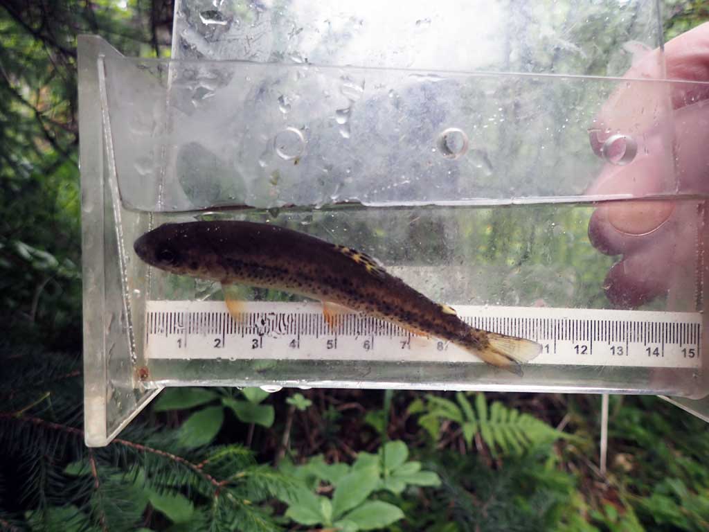
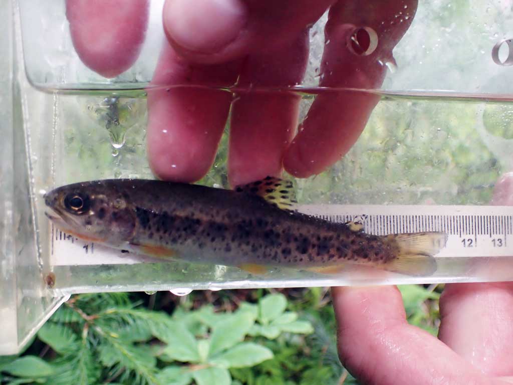
| Species: juvenile cutthroat trout | Life History: | ||
| Total Fish Observed: 1 | Fish Measured: 1 | Fork Lengths (mm) Min: 102 Max: 102 Mean: 102 | |
| Collected/Observed by Gear Type: Upstream Minnow Trap (1) | |||
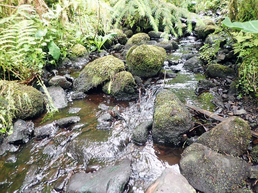
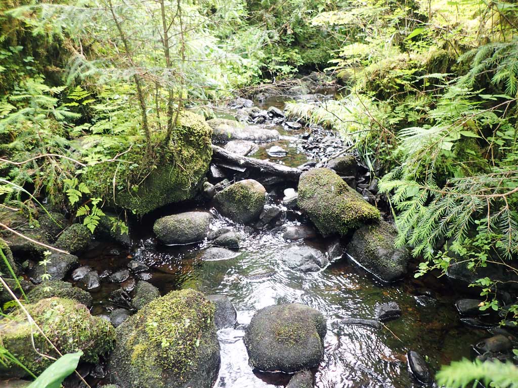
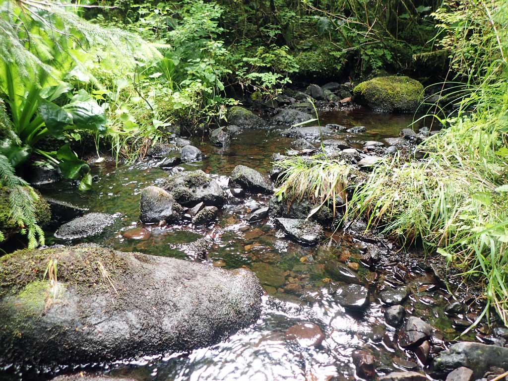
Photos
Questions or comments about this report can be directed to dfg.dsf.webmaster@alaska.gov