Fish Passage Site 10103539
Coordinates (dec. deg.): 55.60244°, -133.00682°
Legal Description: C072S081E28
Region: Southeast
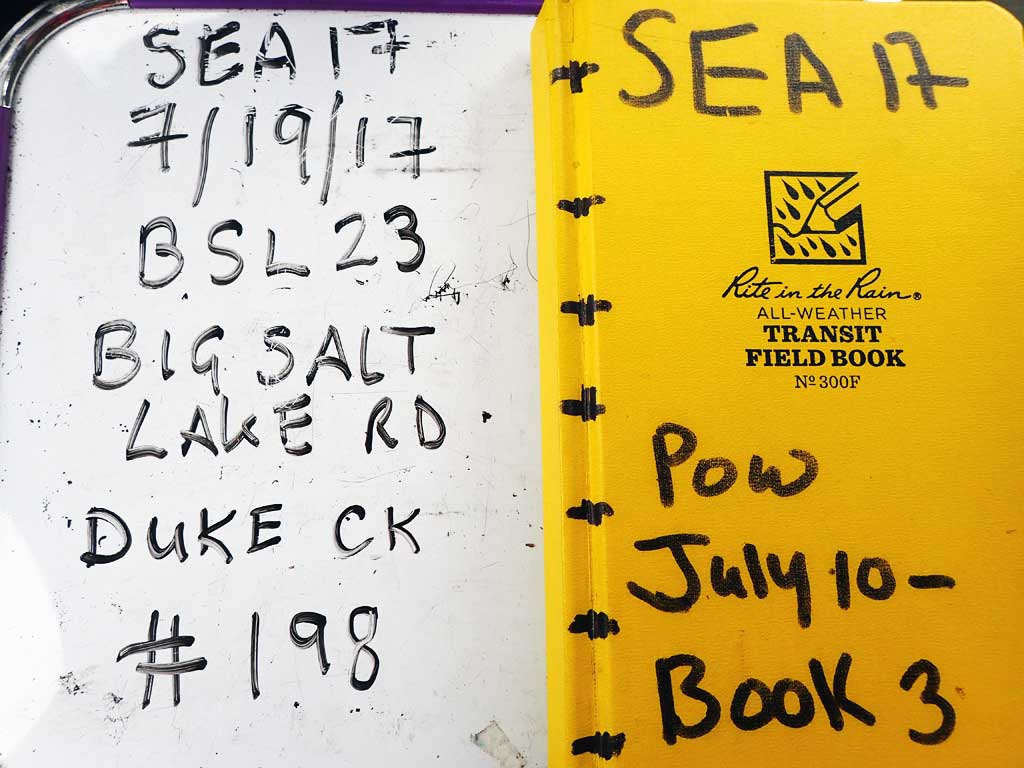
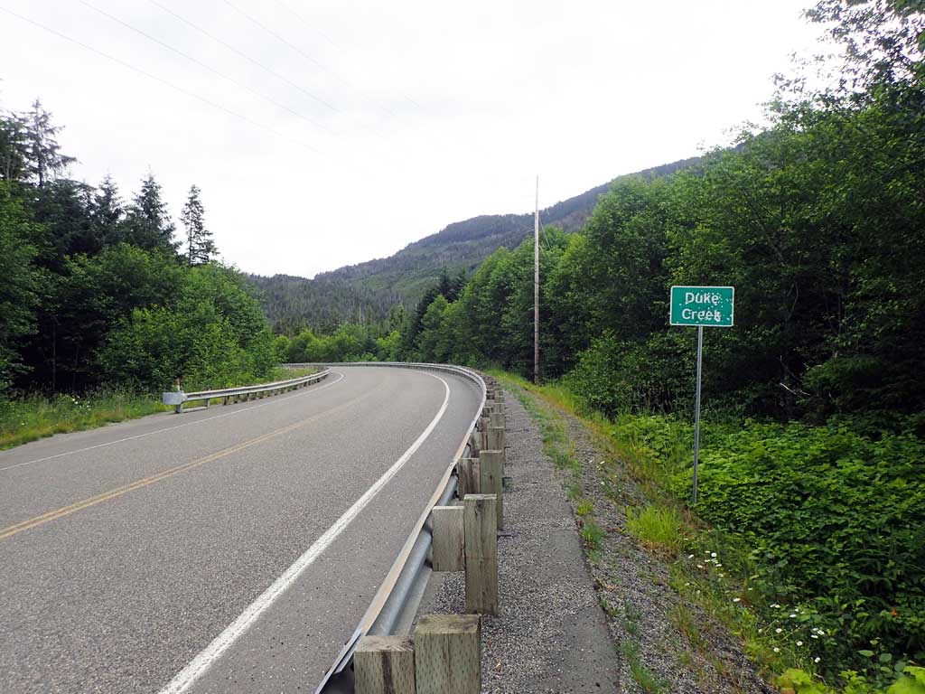
Road Name: Big Salt Lake Road
Datum: NAD83
Quad Name / ITM: Craig C-4
AWC Stream #: 103-60-10350
Stream Name: Duke Creek
Elevation:
Site Comments: None
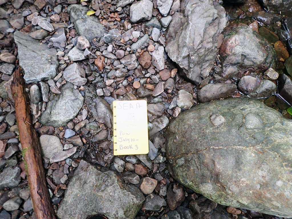
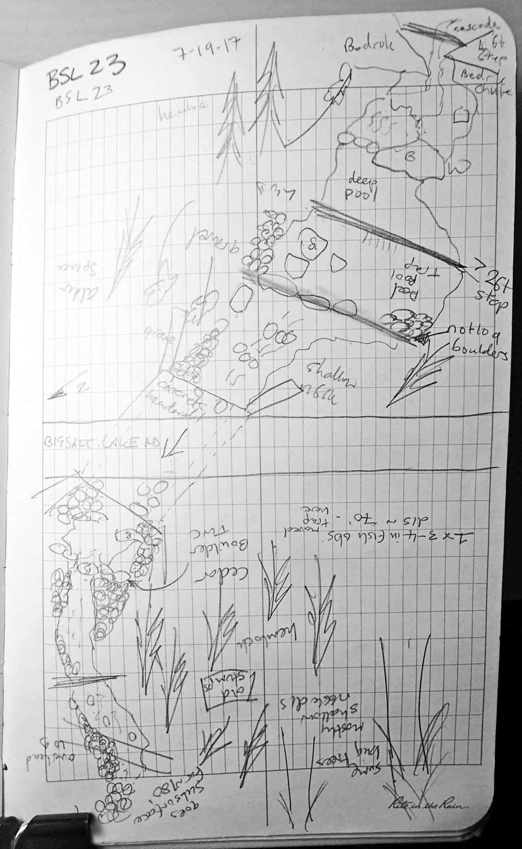
Survey SEA17-BSL23
Observers: Elizabeth Flory, Kelly Petty
Overall Fish Passage Rating:
Tidal: No
Backwatered: No
Step Pools: No
Construction Year:
Site Observations:
- Culvert gradient gray
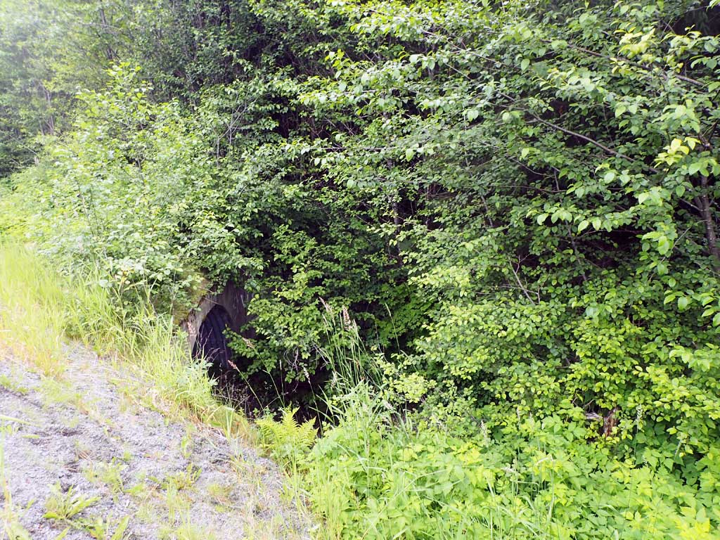
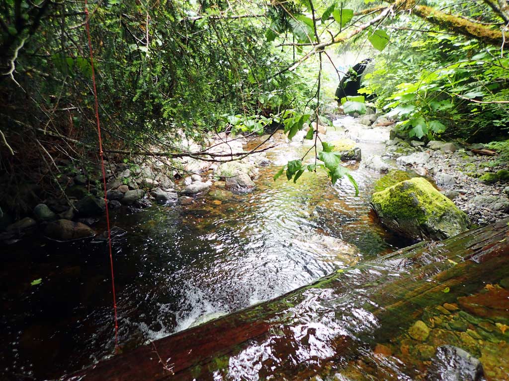
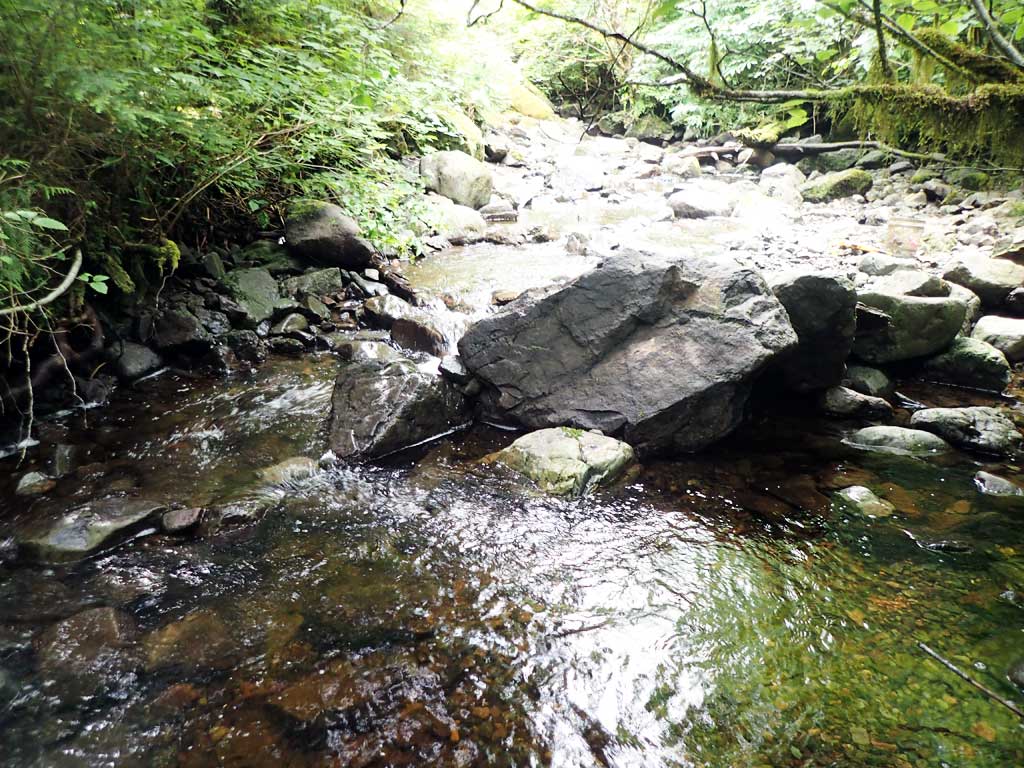
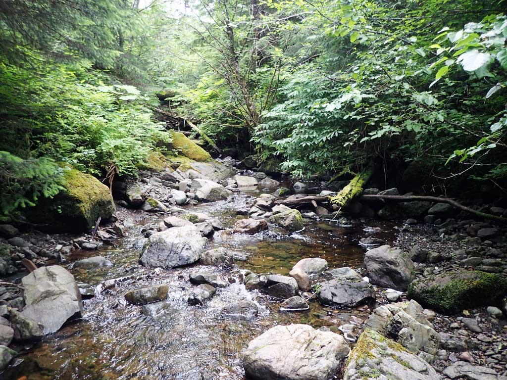
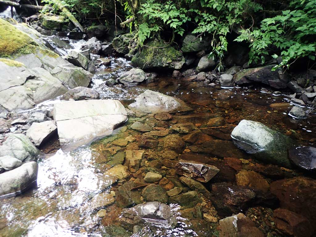
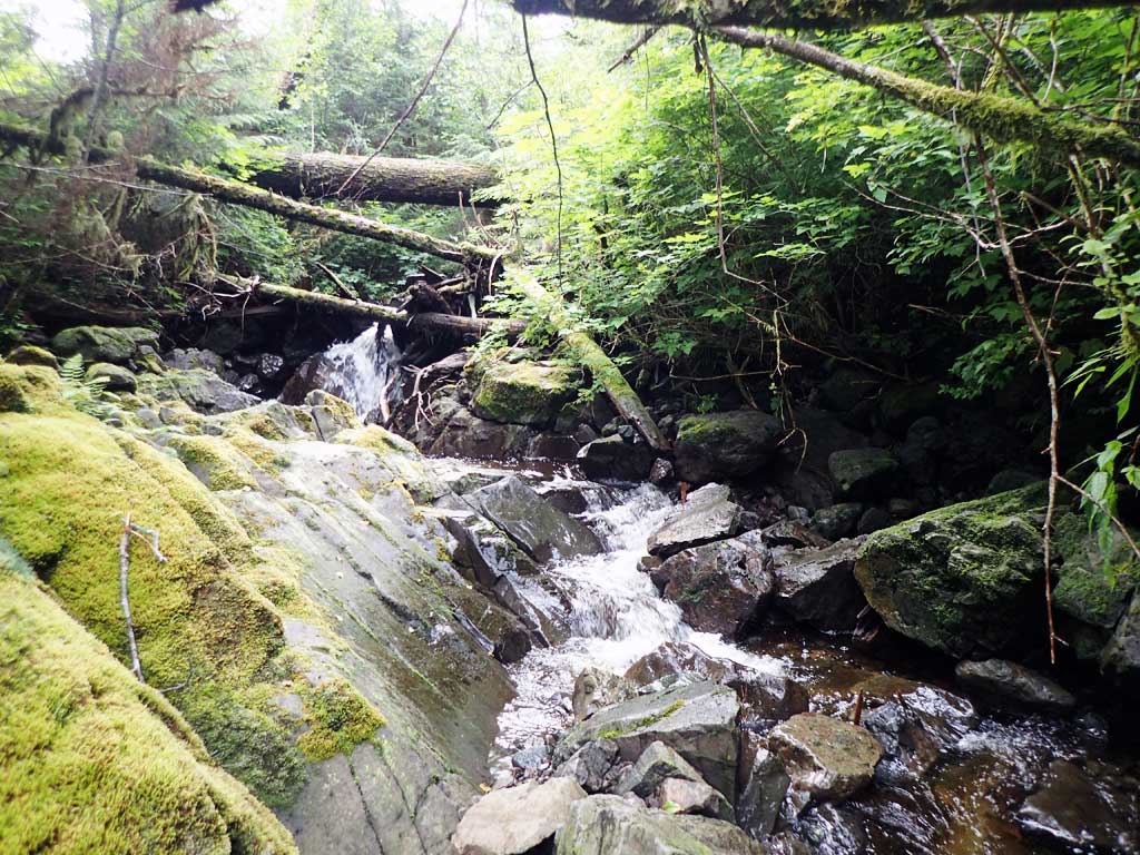
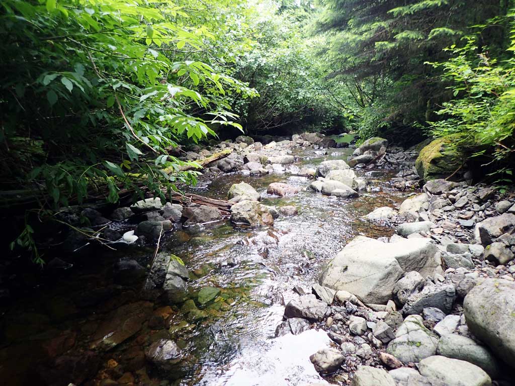
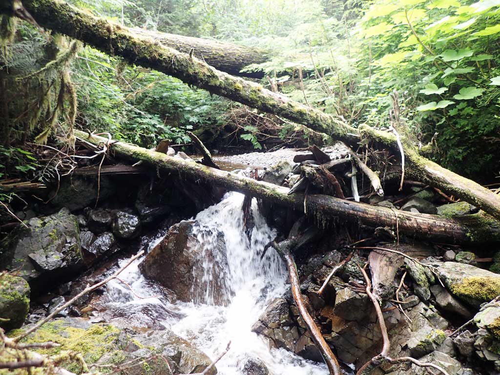
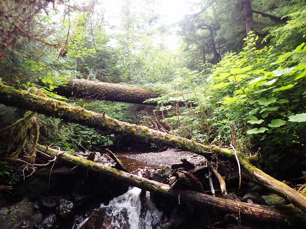
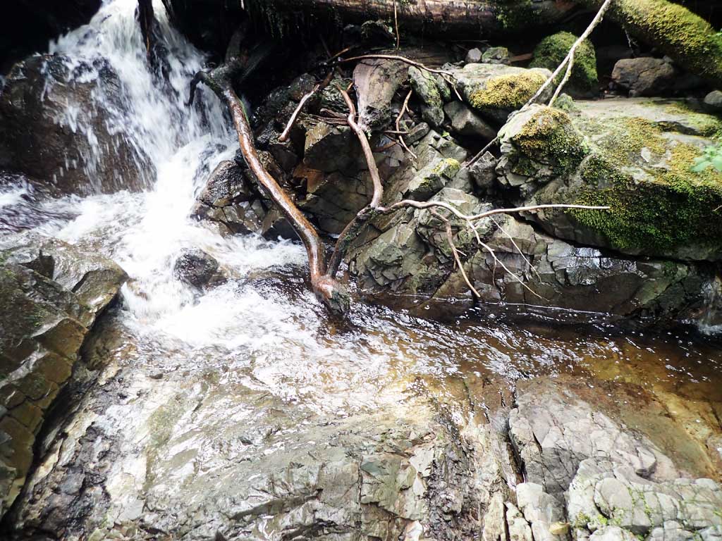
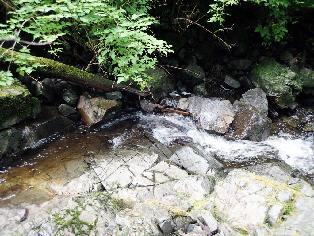
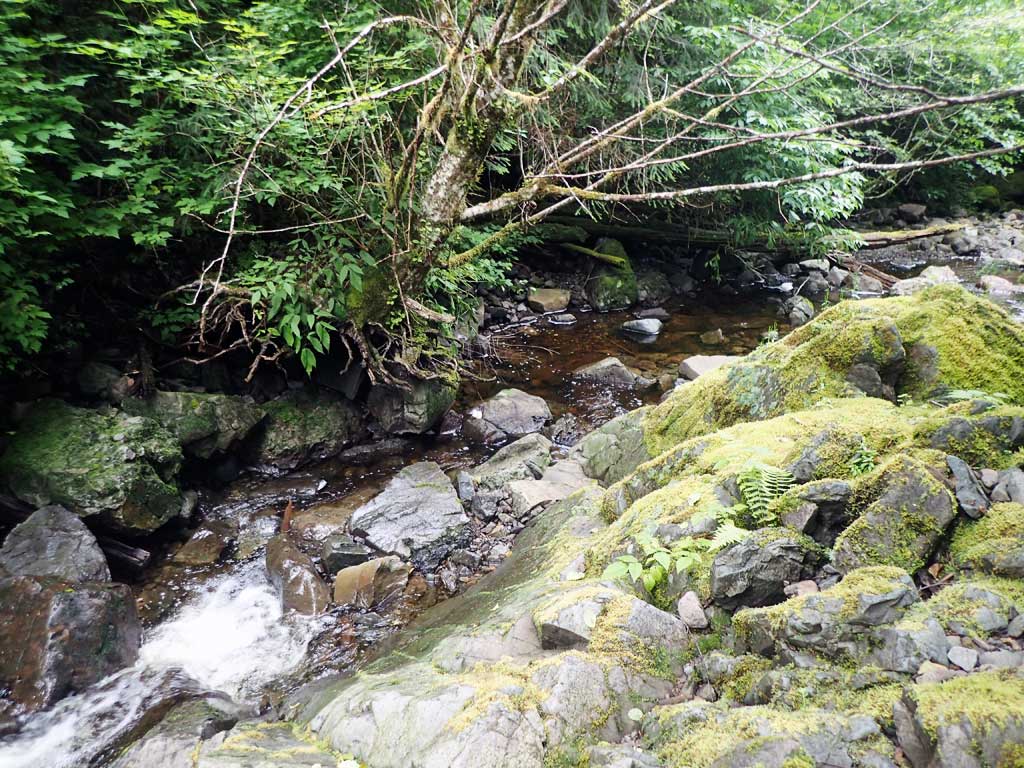
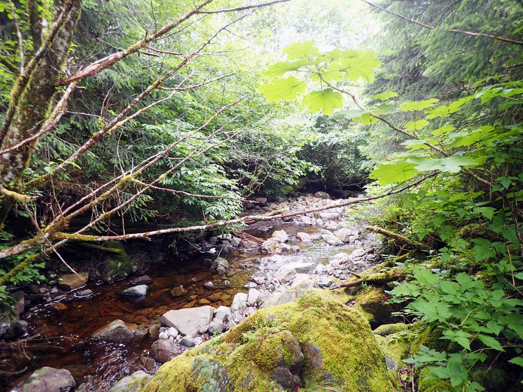
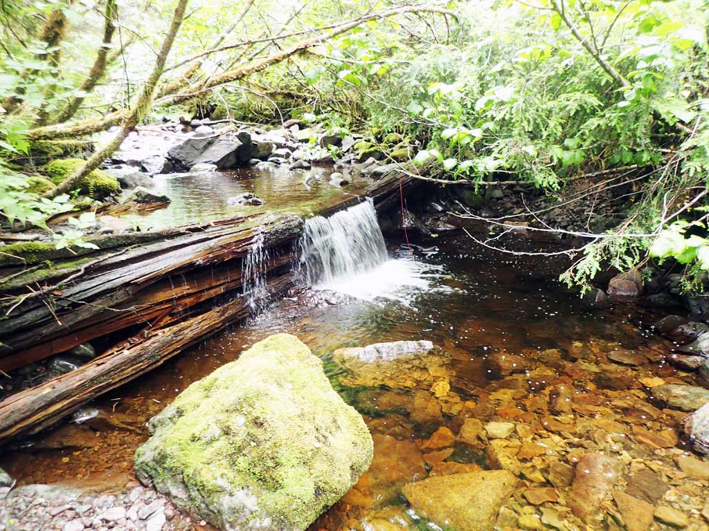
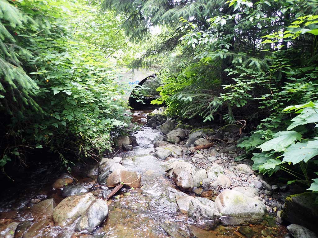
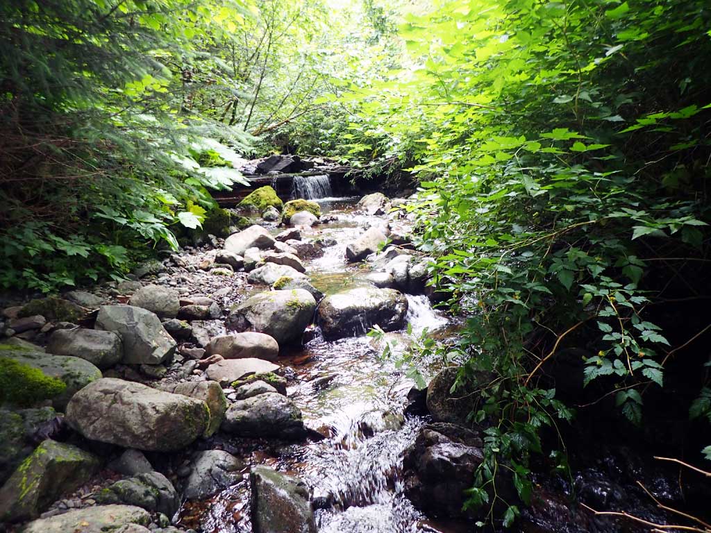
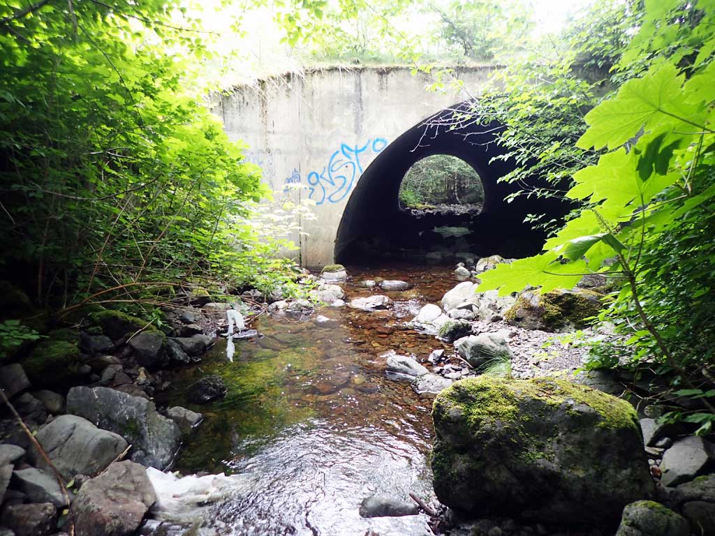
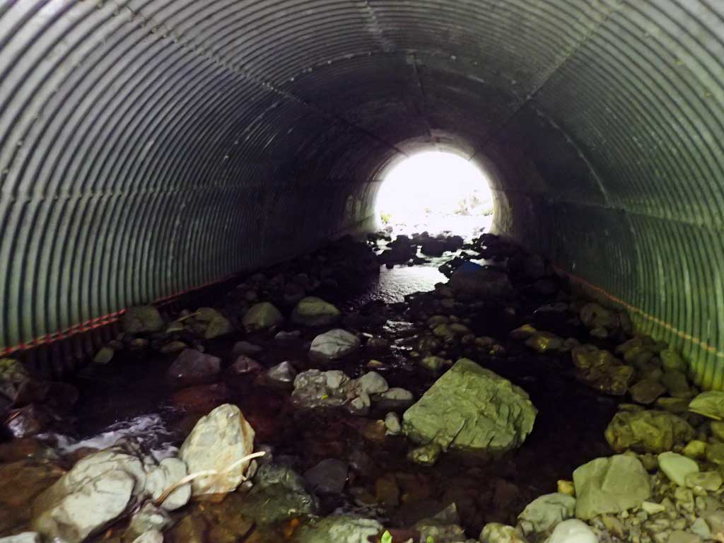
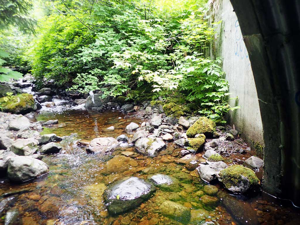
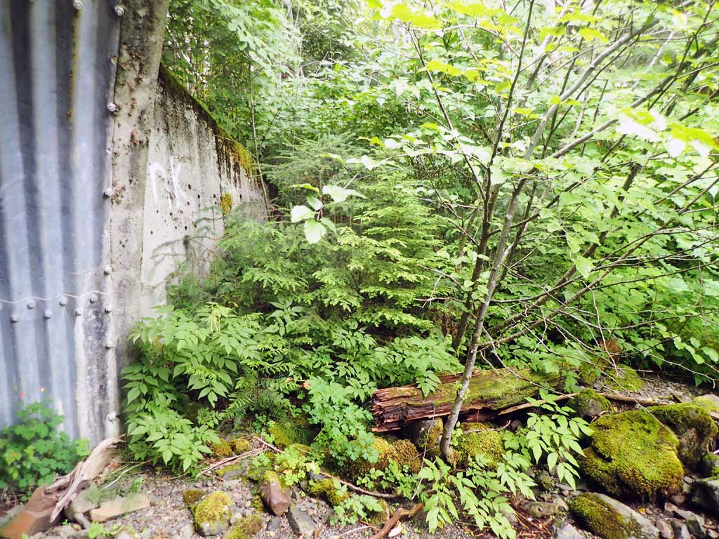
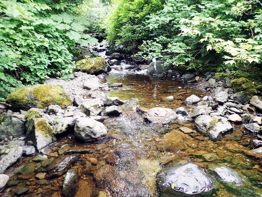
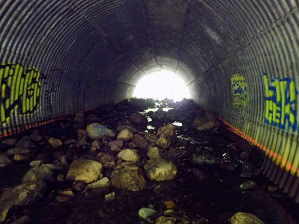
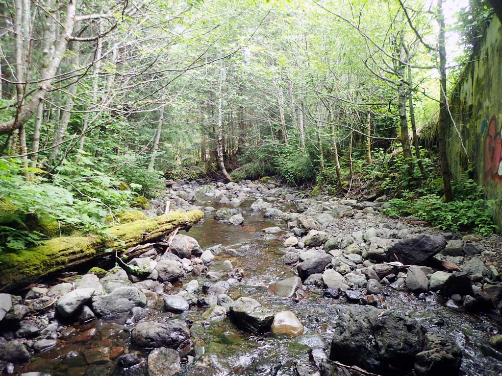
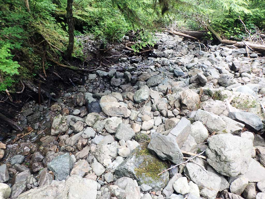
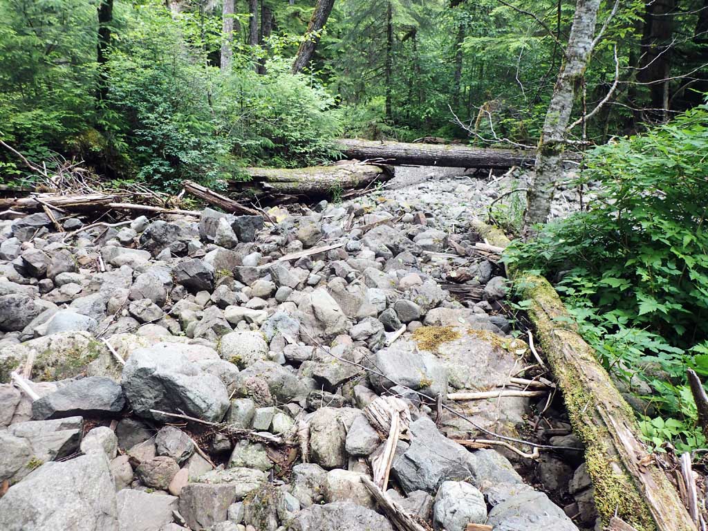
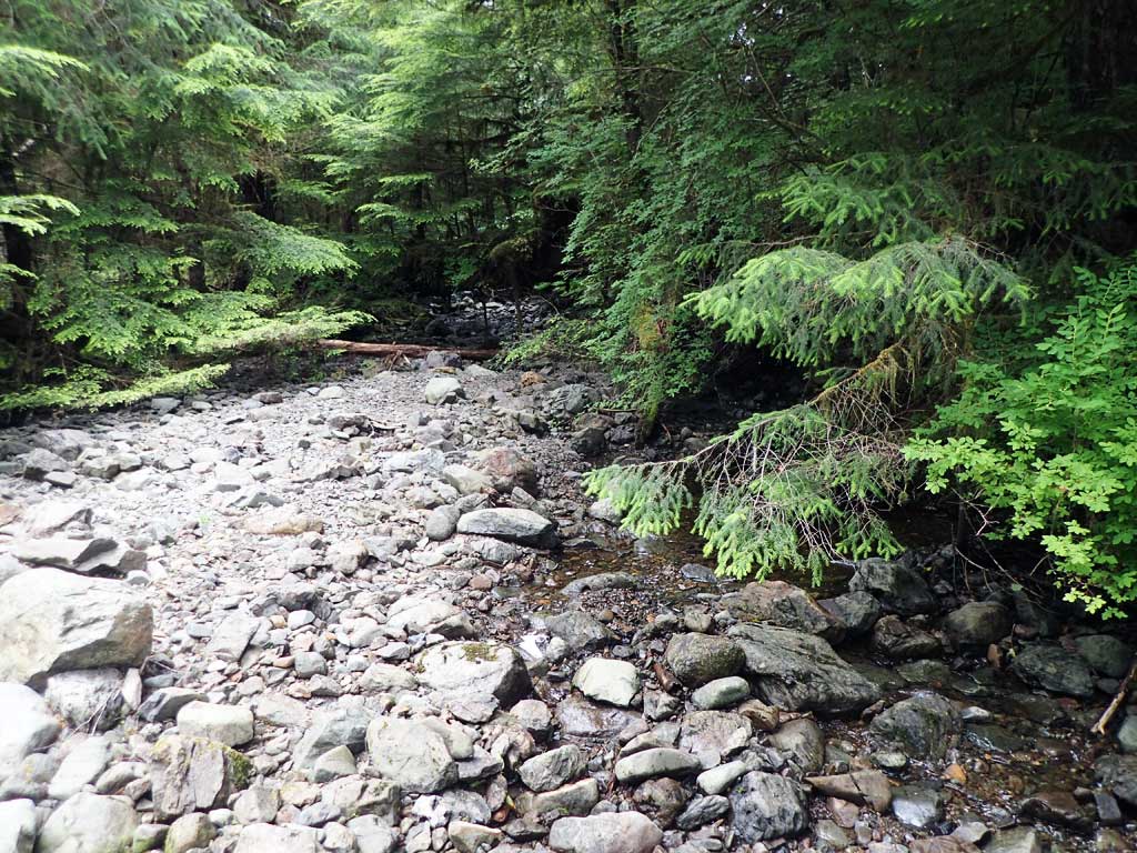
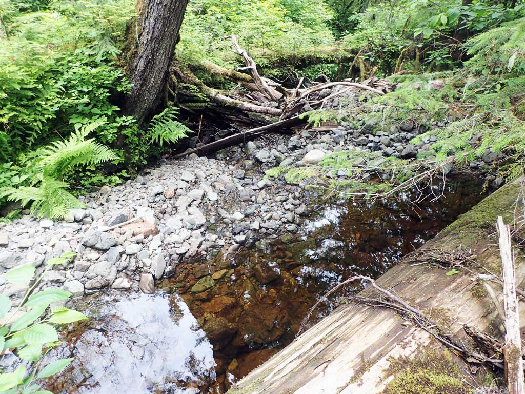
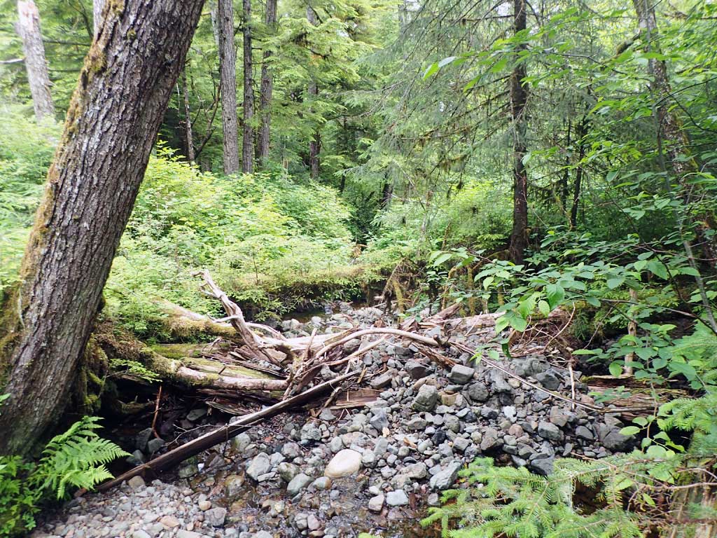
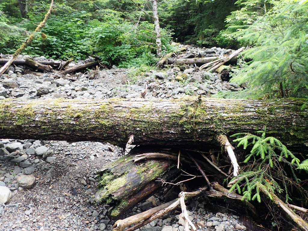
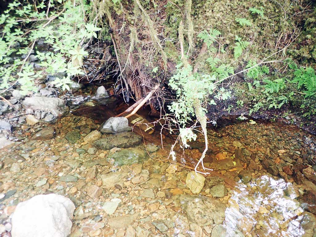
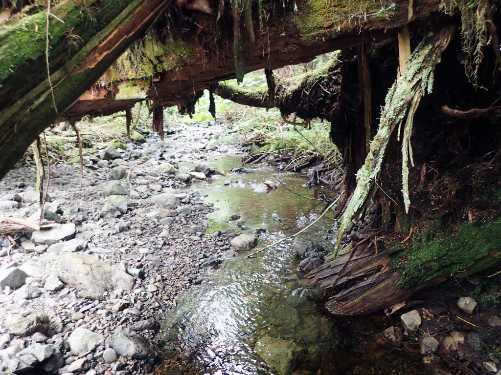
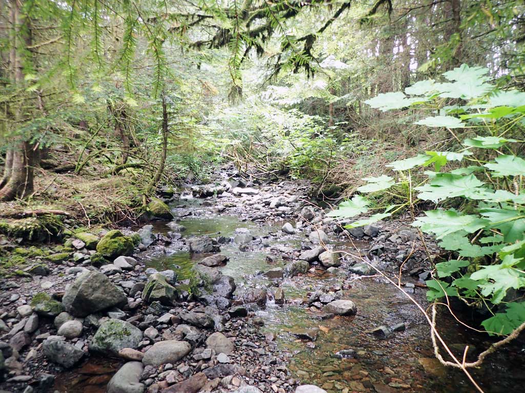
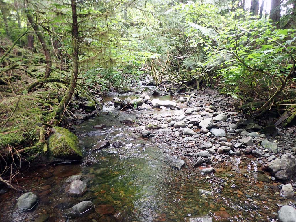
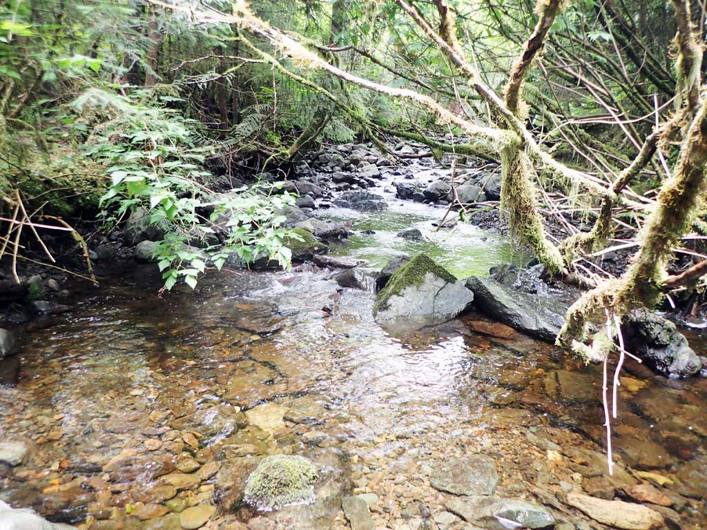
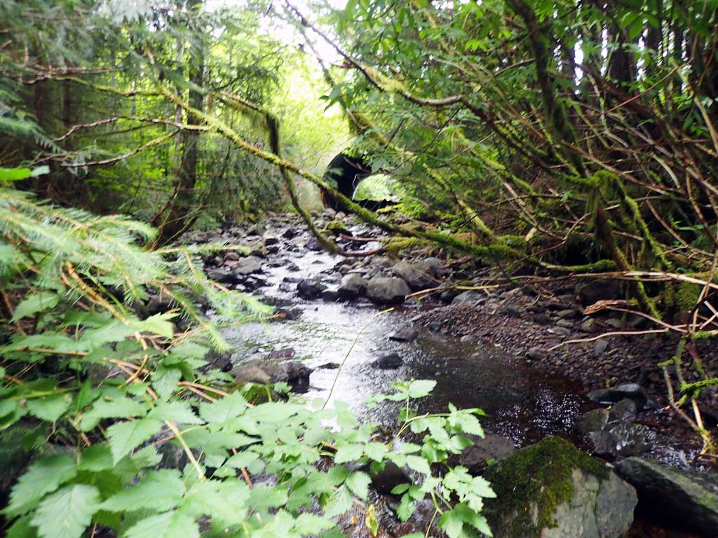
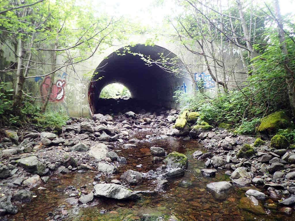
Comments: Open bottom arch, concrete header at inlet. One 3-4inch fish observed 70ft downstream. Flow goes subsurface 100ft downstream for about 80ft then resurfaces. Lots of gravel deposits. Upstream has nice big large woody debris pools. Bedrock cascade 100ft upstream. Upstream gradient 8.23% over 101ft, Downstream gradient 3.86% .
Culvert Measurements
| ID: 1 | Structure Type: Circular pipe (Structural steel plate) | Fish Passage Rating: | |||||||||||||||||||||||||||||||||||||||||
|
|
|
|||||||||||||||||||||||||||||||||||||||||
Comments: Embedded depth not measured. Culvert inverts buried, top of culvert contained in headwall. |
|||||||||||||||||||||||||||||||||||||||||||
Culvert Observations:
|
|||||||||||||||||||||||||||||||||||||||||||
Stream Measurements
|
|
| Stream Width Type | Distance From Crossing (ft) |
Stream Width (ft) |
|---|---|---|
| Downstream ordinary high water | 50.0 | 7.00 |
| Downstream ordinary high water | 80.0 | 8.00 |
| Downstream ordinary high water | 100.0 | 5.00 |
| Upstream ordinary high water | 30.0 | 8.50 |
| Upstream ordinary high water | 60.0 | 8.00 |
| Upstream ordinary high water | 80.0 | 7.25 |
Elevations
| Locator ID | Culvert Number |
River Distance (ft)1 |
Distance From Crossing (ft)2 |
Relative Elevation (ft) |
|---|---|---|---|---|
| Road Elev | 121.18 | |||
| D/S Grade Ctrl (Thalweg) | 0.00 | 93.75 | ||
| D/S Water Surface Elev | 0.00 | 94.02 | ||
| D/S Grade Ctrl (Thalweg) | 57.00 | 95.66 | ||
| D/S Water Surface Elev | 57.00 | 95.95 | ||
| D/S Grade Ctrl (Thalweg) | 102.00 | 97.93 | ||
| D/S Water Surface Elev | 102.00 | 98.24 | ||
| D/S Water Surface Elev | 127.00 | 99.17 | ||
| D/S Tailcrest or 1st Thalweg | 127.00 | 98.68 | ||
| D/S Water Surface Elev | 133.00 | 99.15 | ||
| Max Pool Depth | 133.00 | 98.41 | ||
| Outlet Culvert Top | 158.00 | 117.70 | ||
| D/S Water Surface Elev | 158.00 | 99.63 | ||
| Outlet Invert (on substrate) | 158.00 | 98.38 | ||
| Inlet Culvert Invert (on substrate) | 252.00 | 104.47 | ||
| U/S Water Surface Elev | 252.00 | 105.32 | ||
| Top of Pipe Inlet | 252.00 | 118.08 | ||
| U/S Water Surface Elev | 266.00 | 105.49 | ||
| U/S Grade Ctrl (Thalweg) | 266.00 | 105.08 | ||
| U/S Grade Ctrl (Thalweg) | 303.00 | 106.40 | ||
| U/S Water Surface Elev | 303.00 | 106.74 | ||
| U/S Grade Ctrl (Thalweg) (top of LWD step) | 331.00 | 112.55 | ||
| U/S Water Surface Elev | 331.00 | 112.56 | ||
| U/S Grade Ctrl (Thalweg) | 367.00 | 113.42 | ||
| U/S Water Surface Elev | 367.00 | 113.80 |
Notes:
- River distance is measured continuously throughout the survey reach along the thalweg of the stream.
- Measured from each end of the crossing along the thalweg of the stream.
Fish Sampling Efforts
| Gear Type: Minnow Trap (A) | Trap Duration(h): 1.75 | |
| Comments: no fish caught | ||
| Gear Type: Minnow Trap (B) | Trap Duration(h): 1.5 | |
| Comments: no fish caught | ||
Fish Observations
No fish observations occurred during this survey.
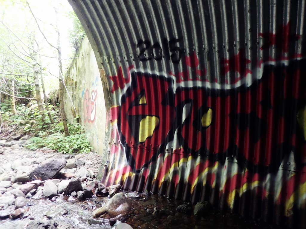
Photos
Questions or comments about this report can be directed to dfg.dsf.webmaster@alaska.gov