Fish Passage Site 10103538
Coordinates (dec. deg.): 55.59877°, -133.01868°
Legal Description: C072S081E29
Region: Southeast
Road Name: Big Salt Lake Road
Datum: NAD83
Quad Name / ITM: Craig C-4
AWC Stream #:
Stream Name: Unnamed
Elevation:
Site Comments: None
Survey SEA17-BSL22
Observers: Elizabeth Flory
Overall Fish Passage Rating:
Tidal: No
Backwatered: No
Step Pools: No
Construction Year:
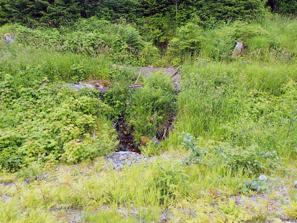
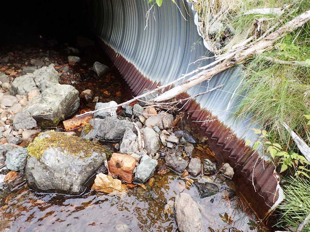
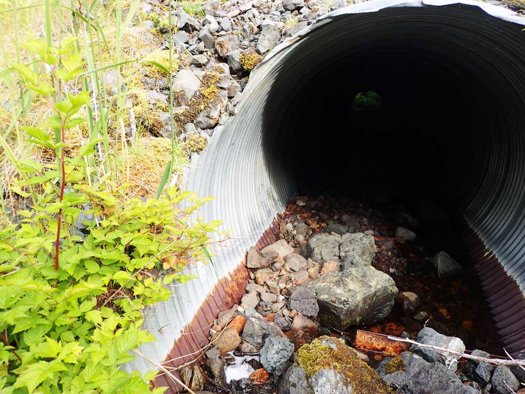
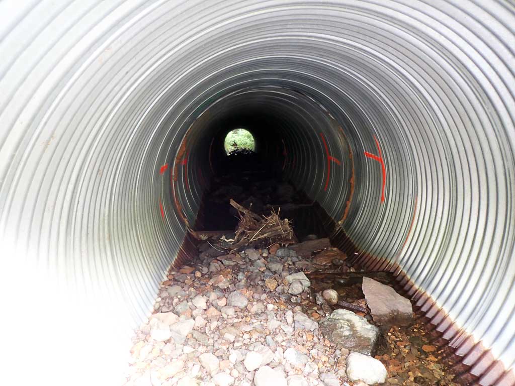
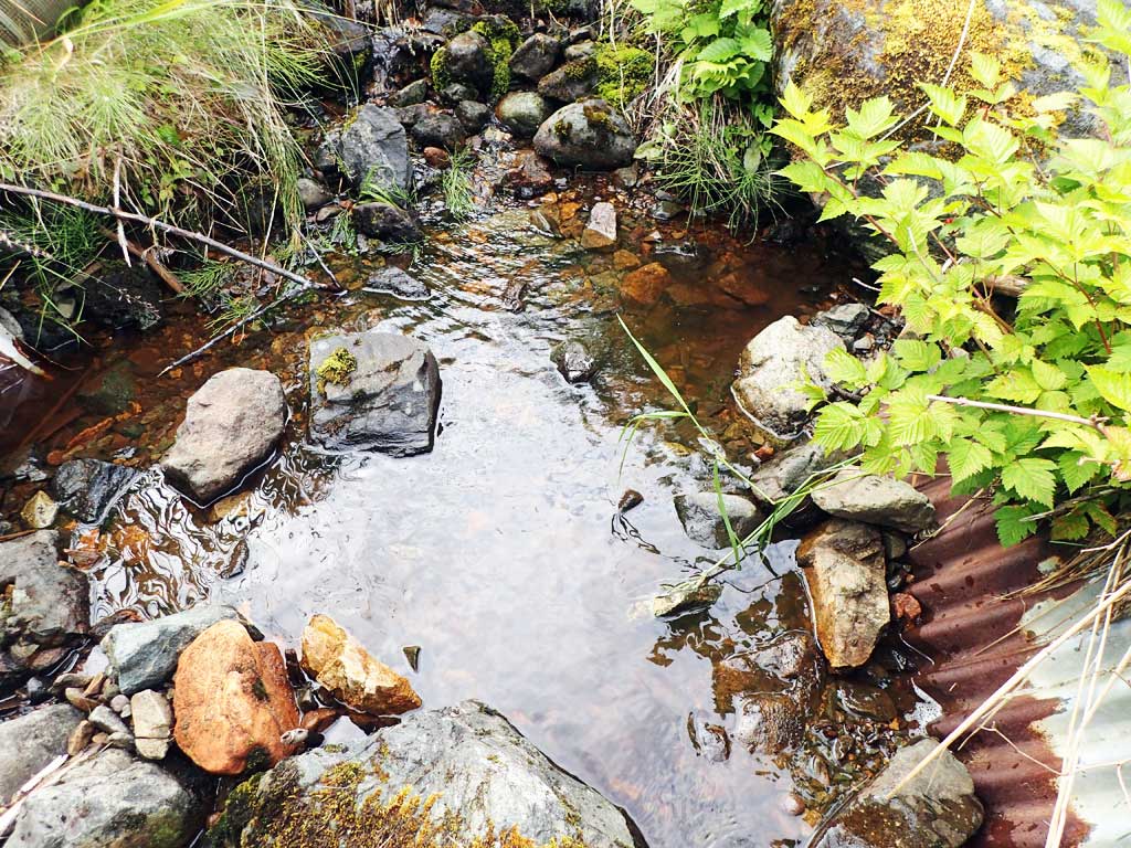
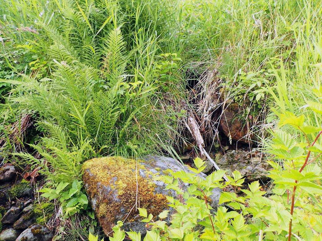
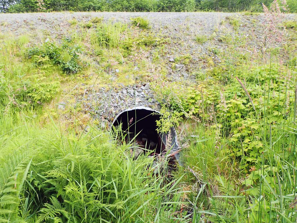
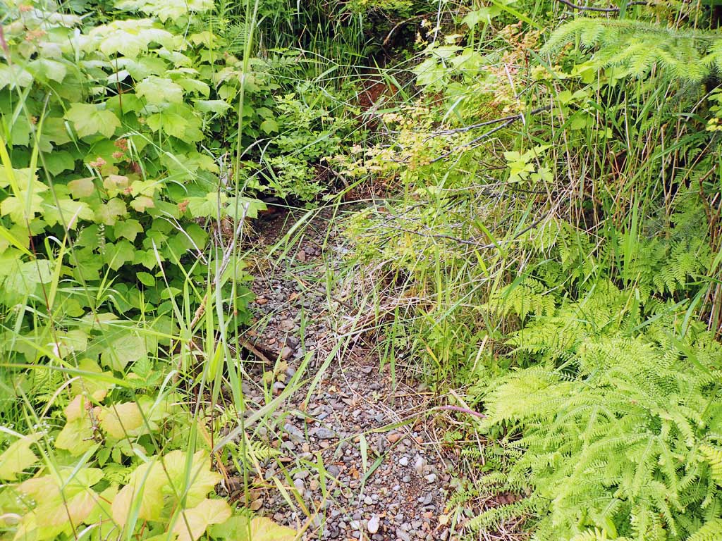
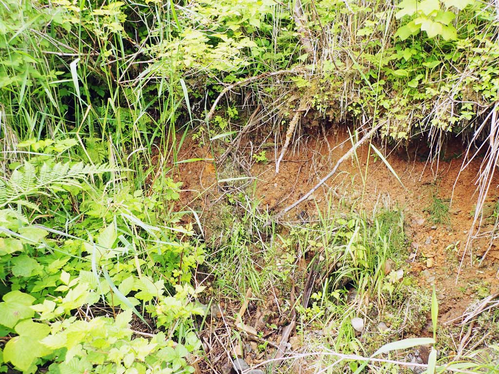
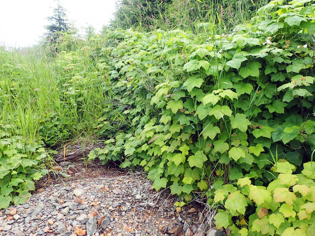
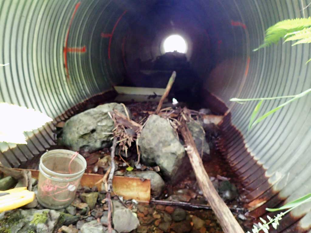
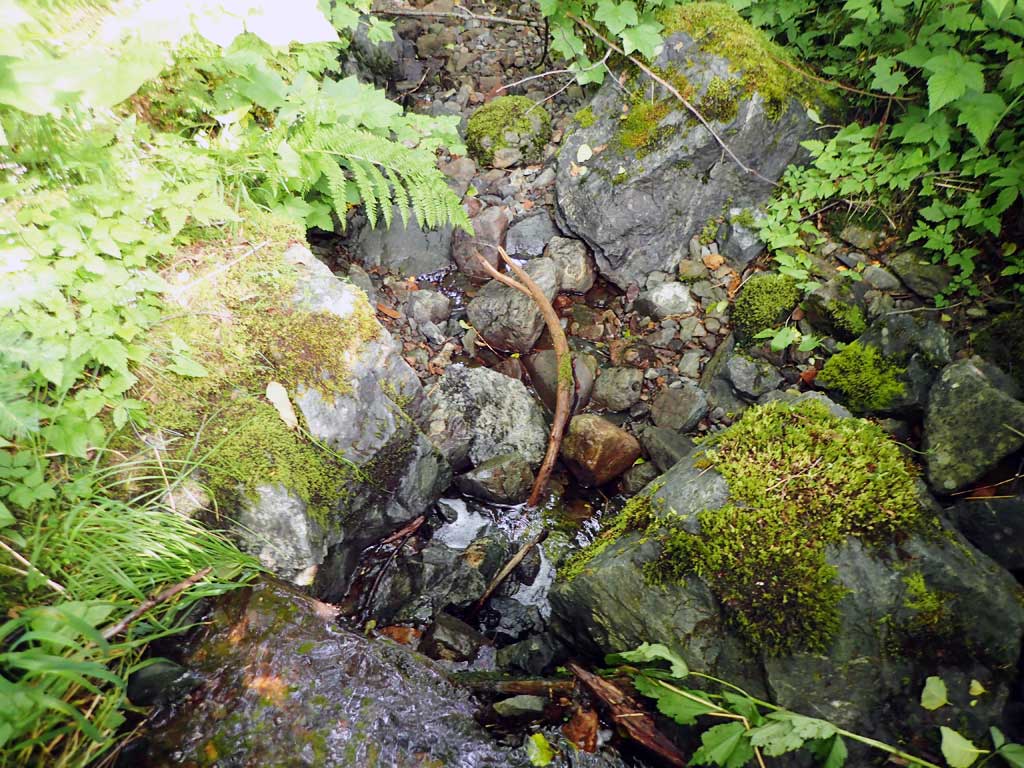
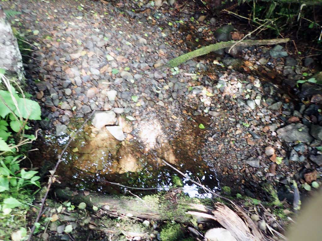
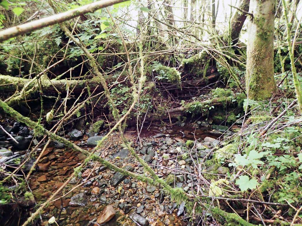
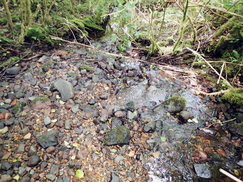
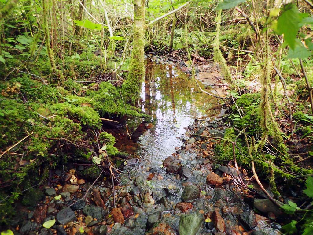
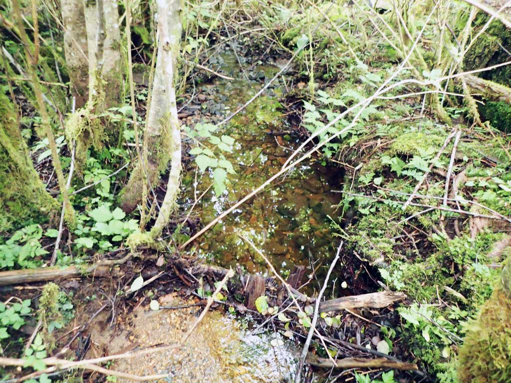
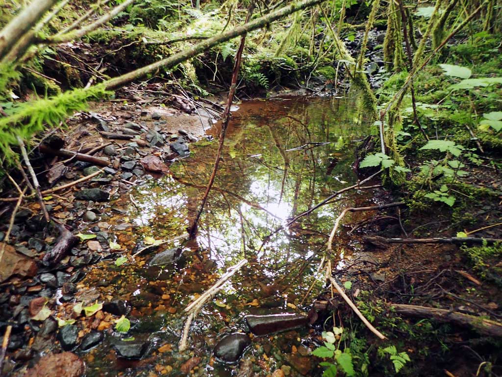
Comments: Dry creek bed, flow resurfaces 100ft downstream. No survey. Defined channel upstream, stream may have been diverted upstream into BSL21. Mostly dry creek bed. A few shallow pools and slight flow in pipe. Flow now seems to go to culvert BSL21, 200ft away
Culvert Measurements
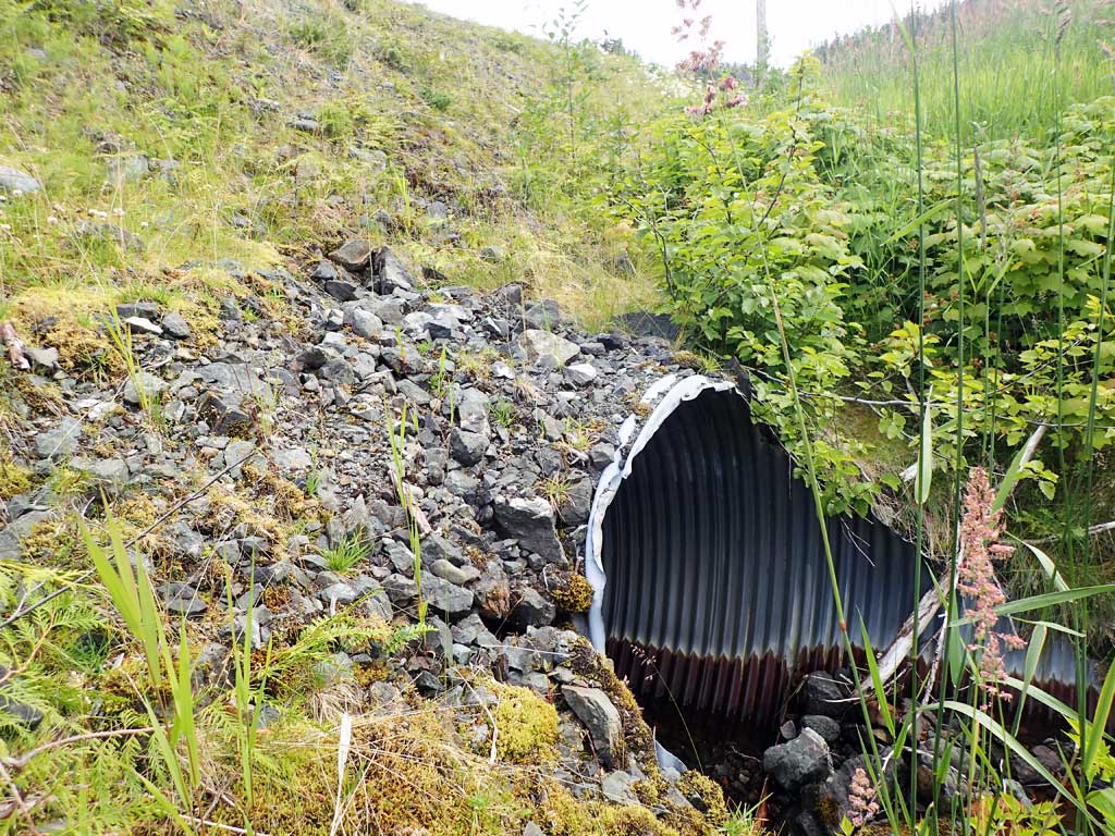
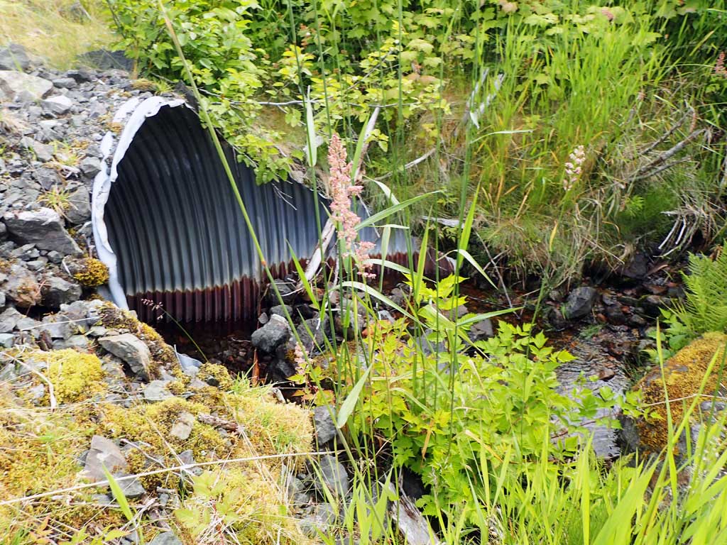
| ID: 1 | Structure Type: Circular pipe (Corrugated steel) | Fish Passage Rating: | |||||||||||||||||||||||||||||||||||||||||
|
|
|
|||||||||||||||||||||||||||||||||||||||||
Comments: No survey. Pipe gradient not measured, no traps set as no water. |
|||||||||||||||||||||||||||||||||||||||||||
Stream Measurements
|
|
| Stream Width Type | Distance From Crossing (ft) |
Stream Width (ft) |
|---|---|---|
| Downstream ordinary high water | 100.0 | 2.25 |
| Downstream ordinary high water | 150.0 | 2.50 |
| Downstream ordinary high water | 200.0 | 3.00 |
Elevations
No elevation data available.
Fish Sampling Efforts
No fish sampling occurred during this survey.
Fish Observations
No fish observations occurred during this survey.
Photos


Questions or comments about this report can be directed to dfg.dsf.webmaster@alaska.gov