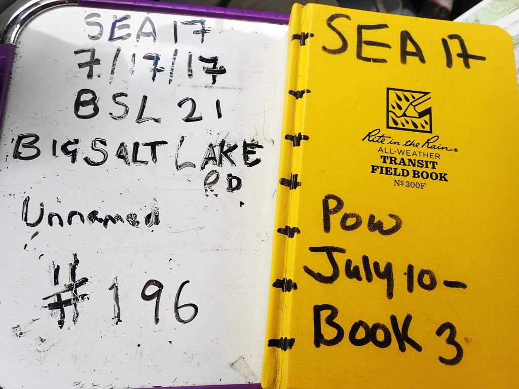
Fish Passage Site 10103537
Coordinates (dec. deg.): 55.59867°, -133.01897°
Legal Description: C072S081E29
Region: Southeast
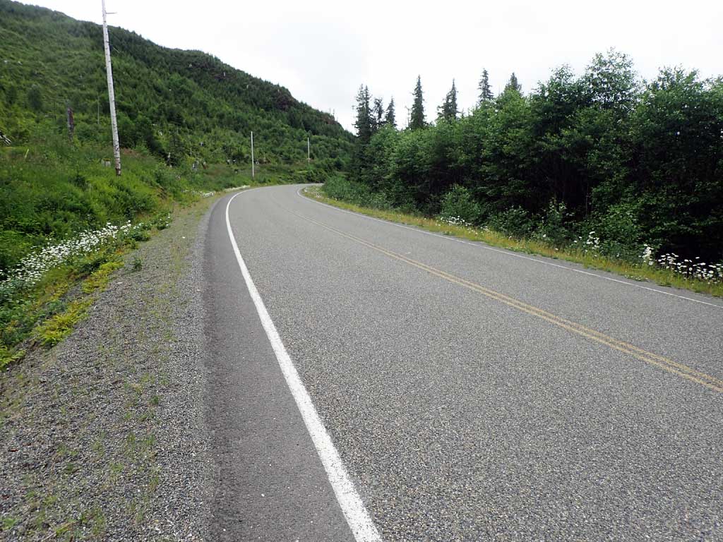
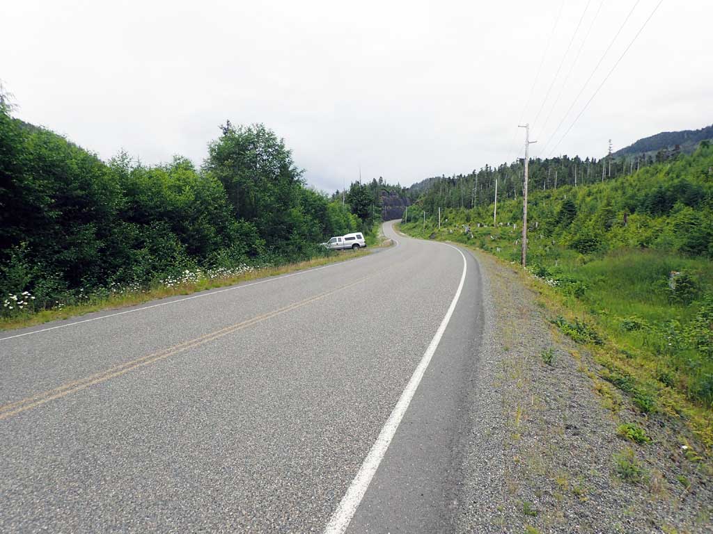
Road Name: Big Salt Lake Road
Datum: NAD83
Quad Name / ITM: Craig C-4
AWC Stream #:
Stream Name: Unnamed
Elevation:
Site Comments: None
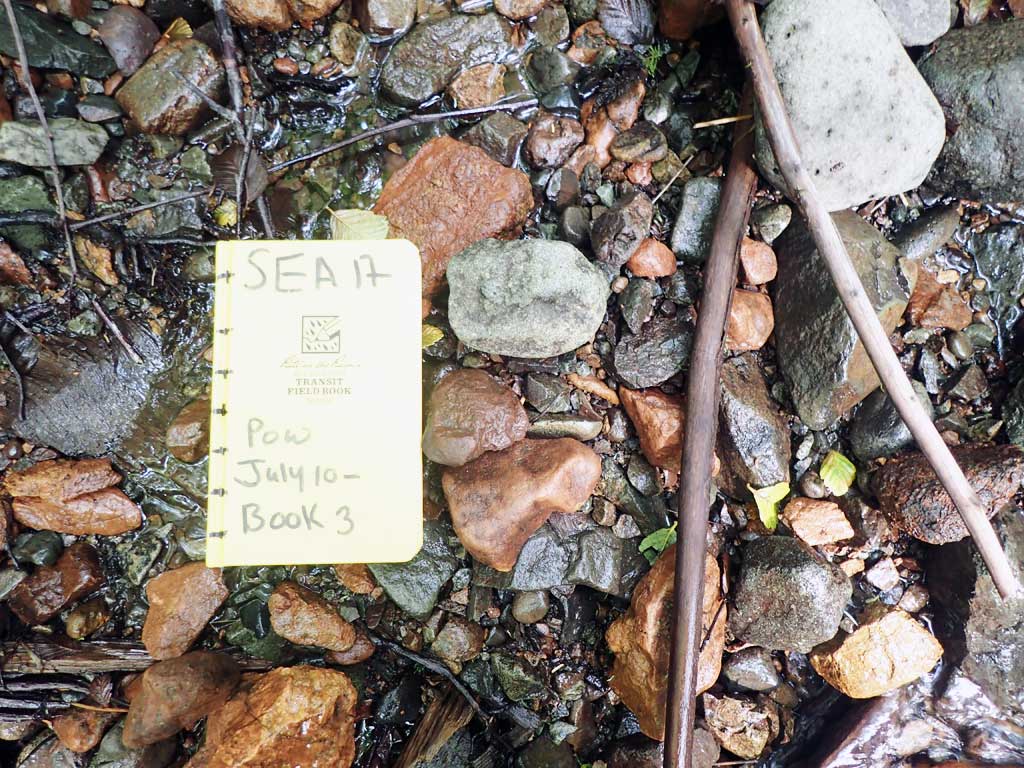
Survey SEA17-BSL21
Observers: Elizabeth Flory, Kelly Petty
Overall Fish Passage Rating:
Tidal: No
Backwatered: No
Step Pools: No
Construction Year:
Site Observations:
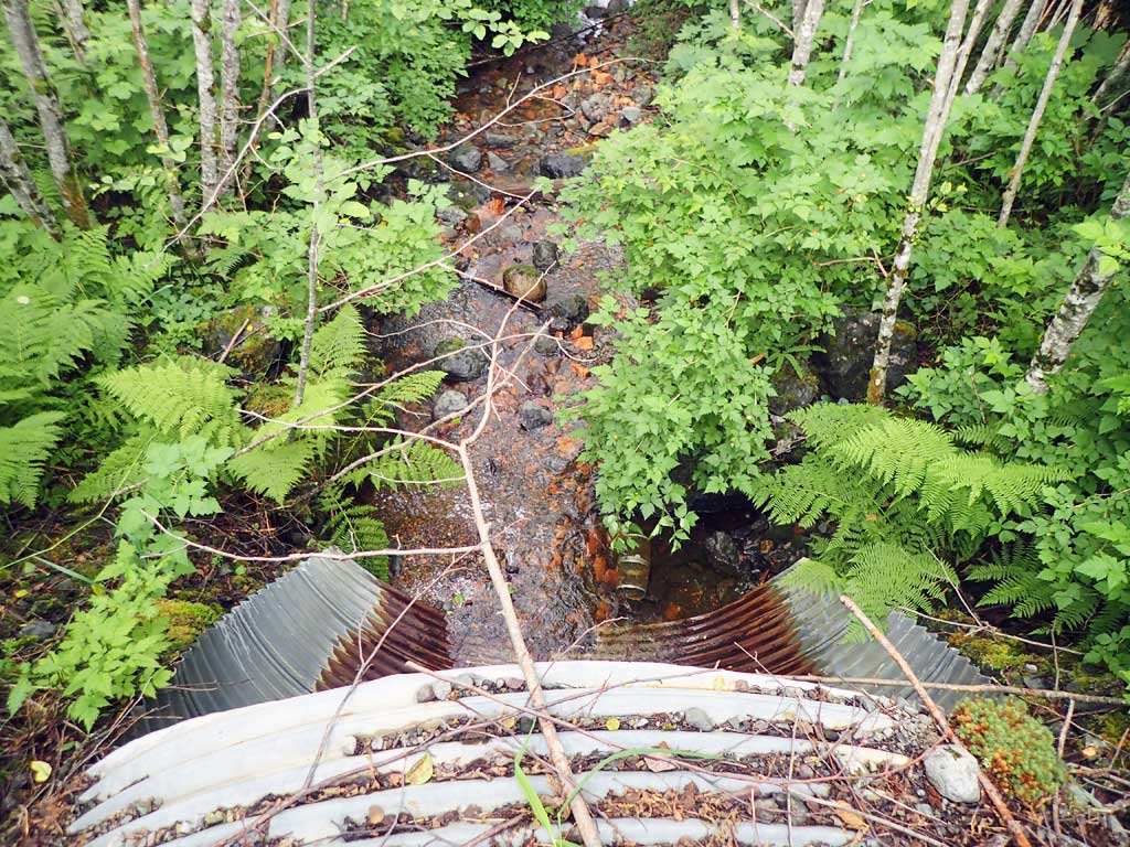
- Outfall height red
- Culvert gradient red
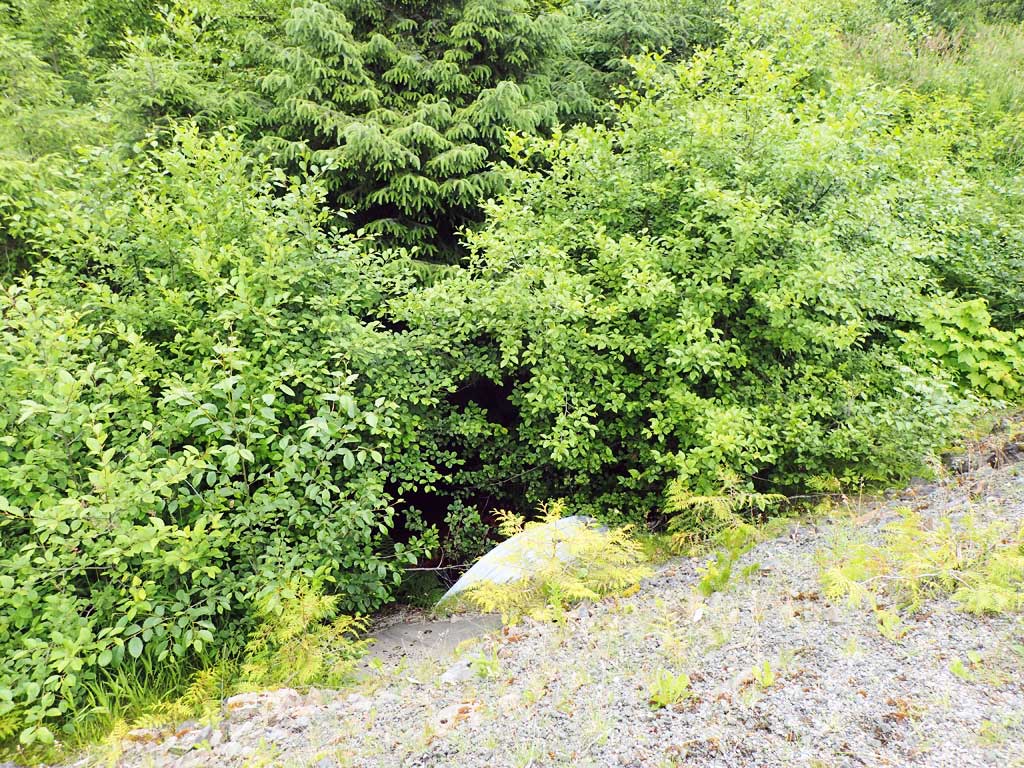
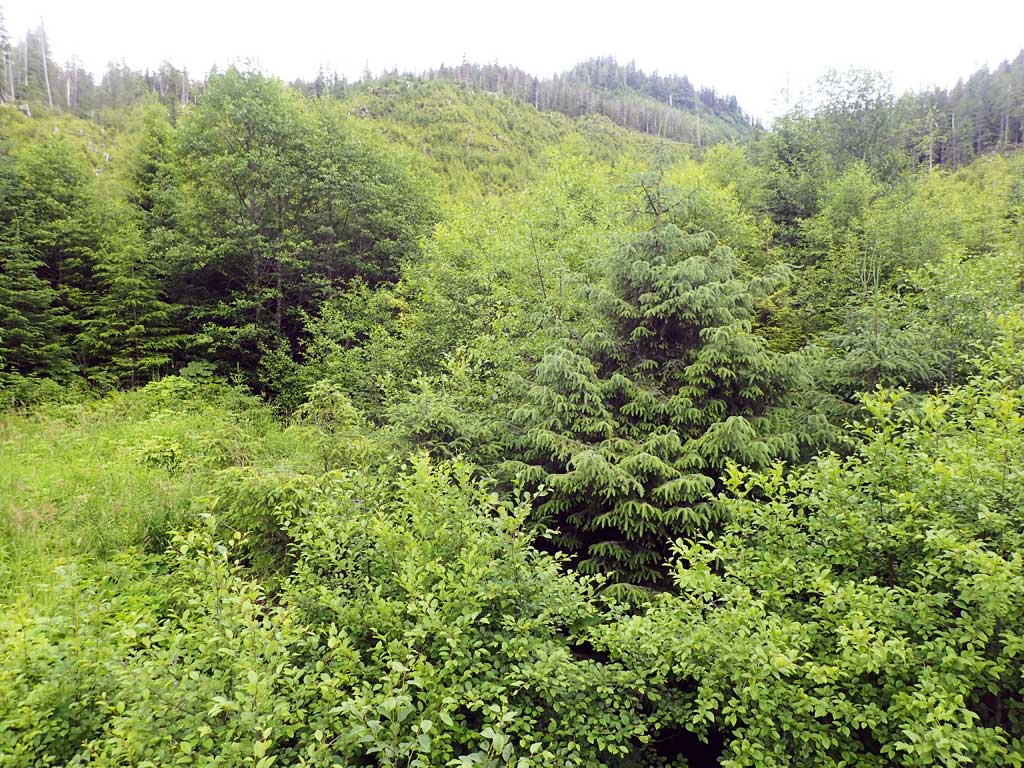
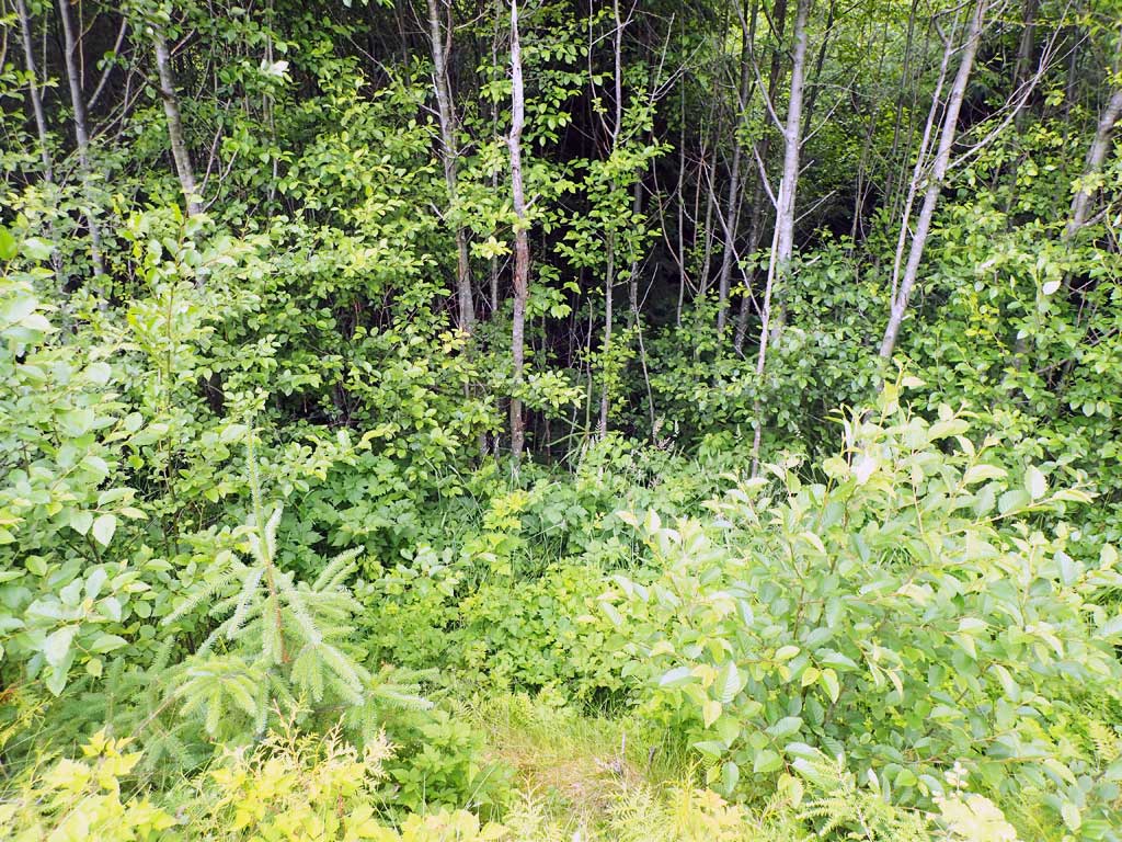
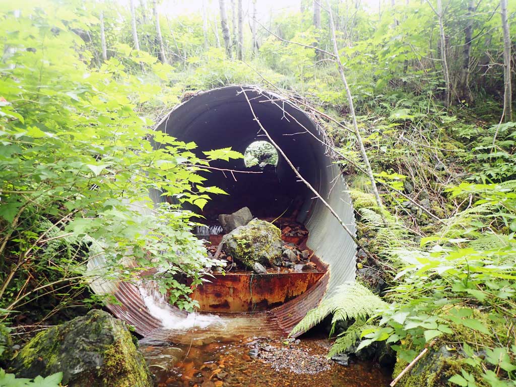
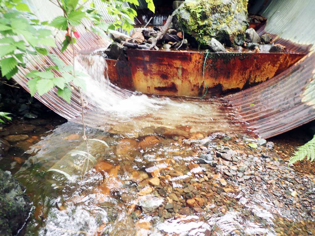
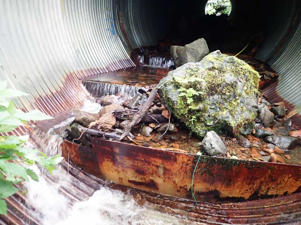
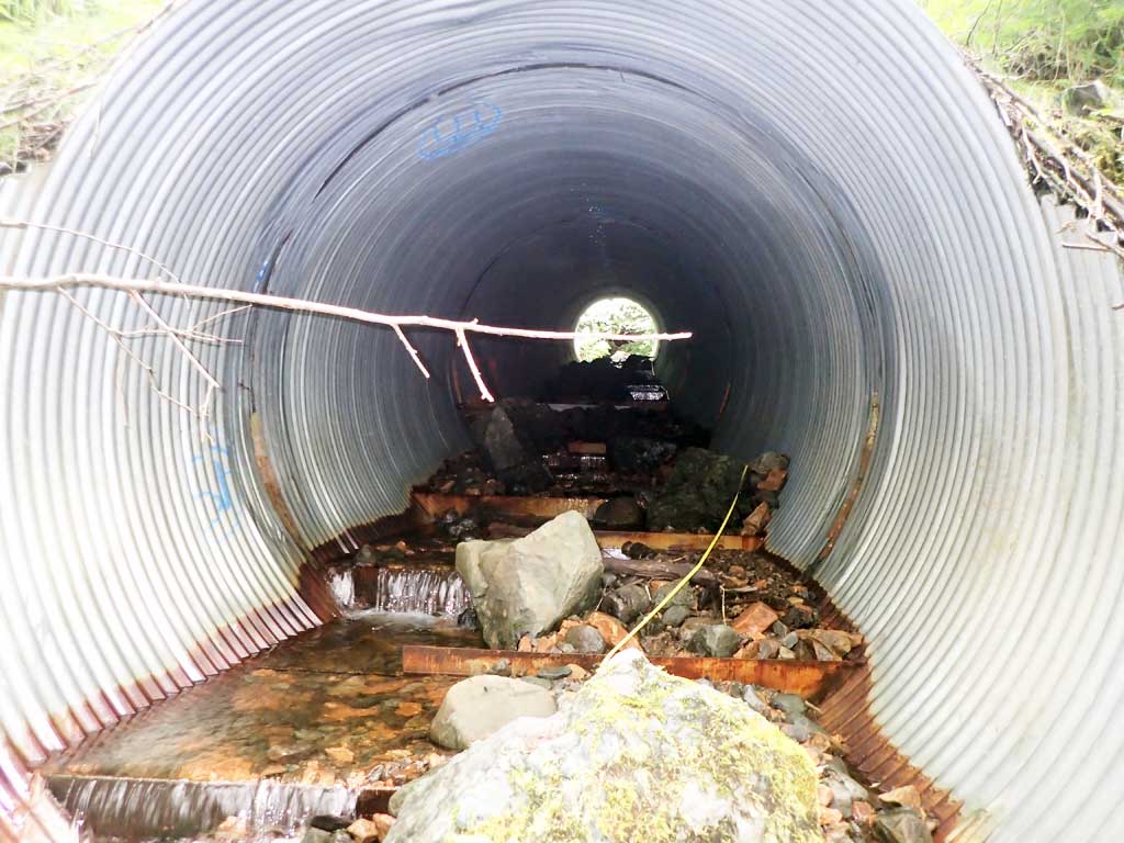
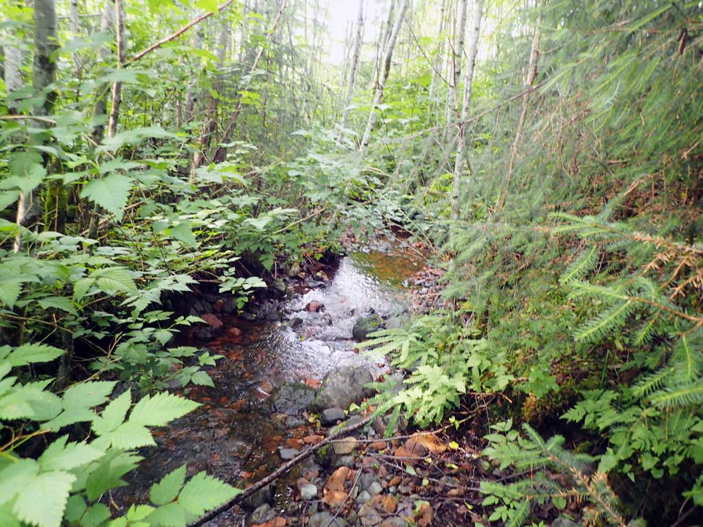
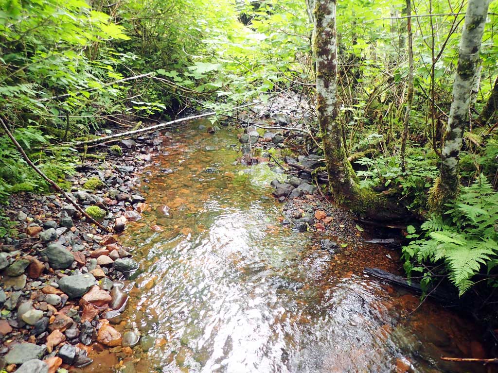
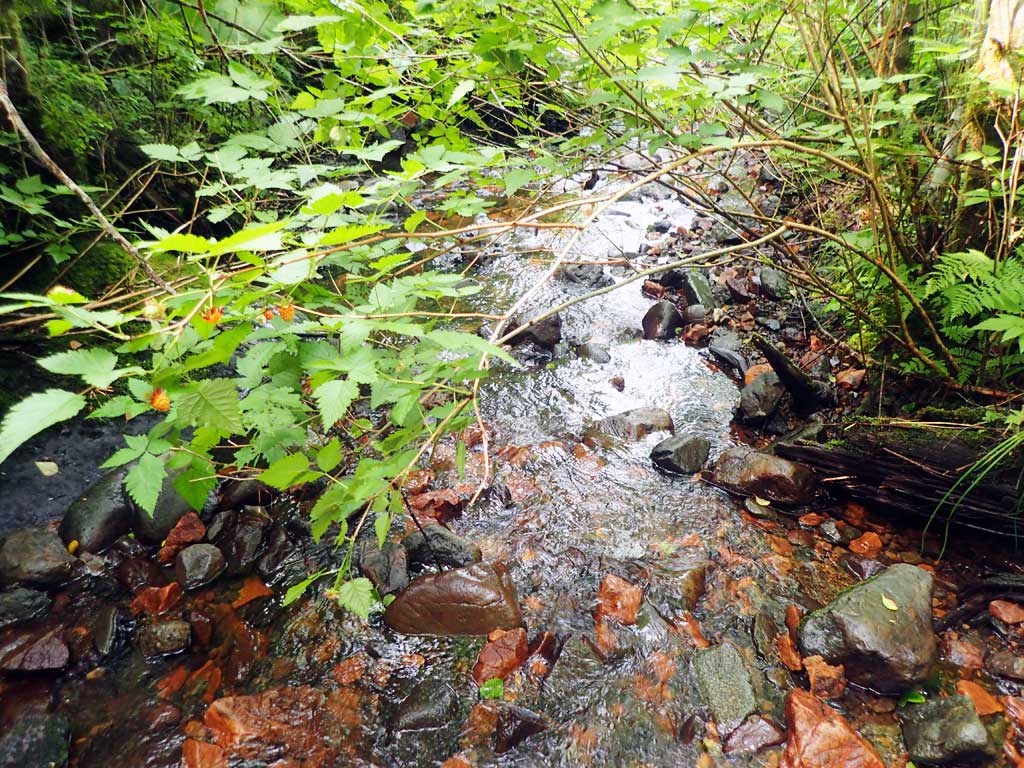
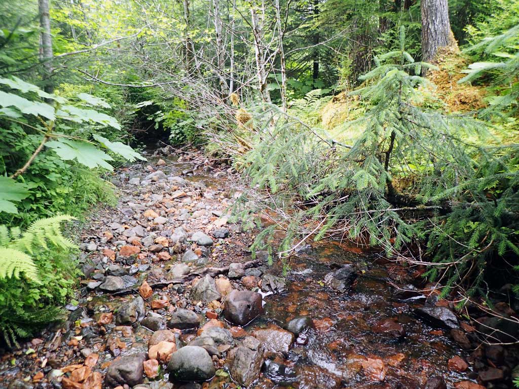
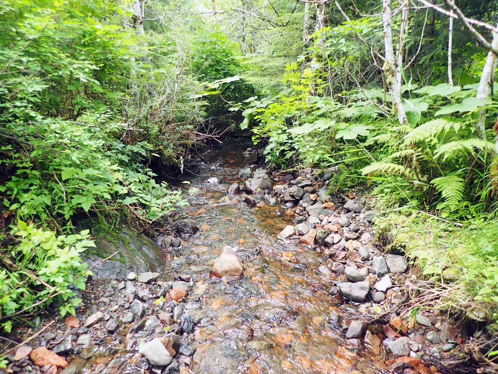
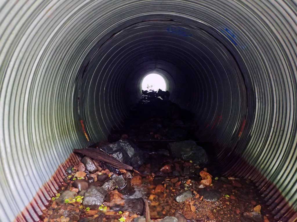
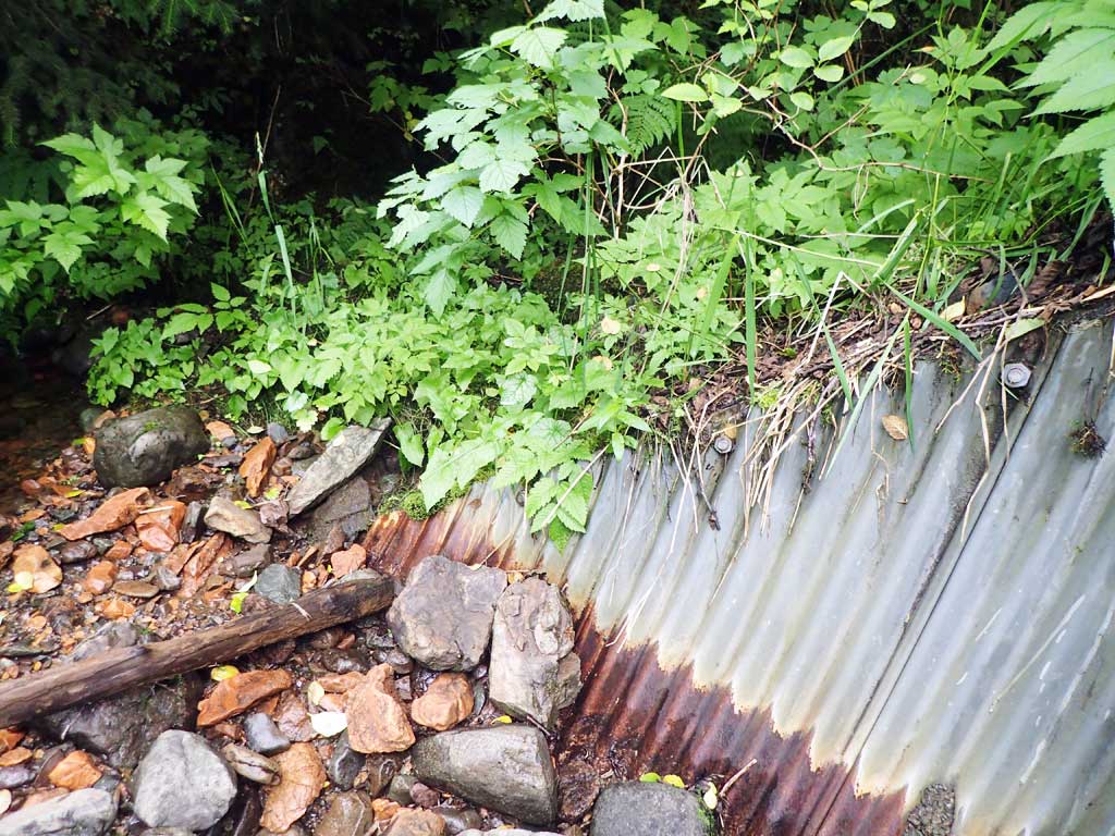
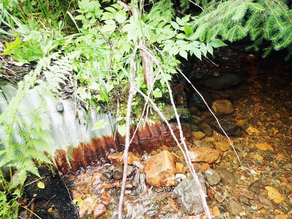
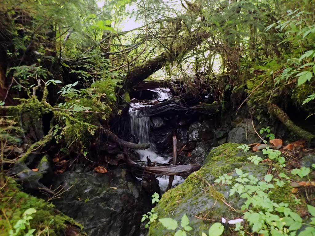
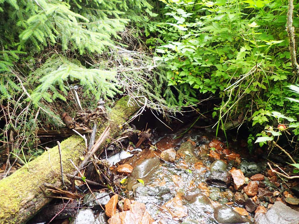
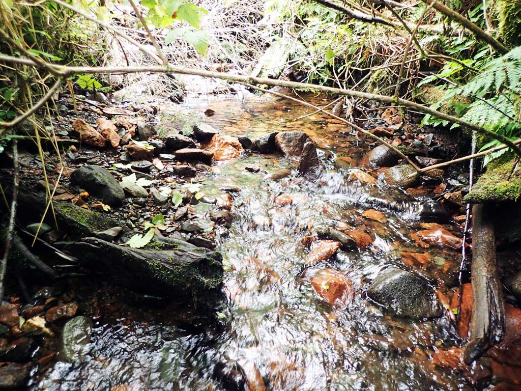
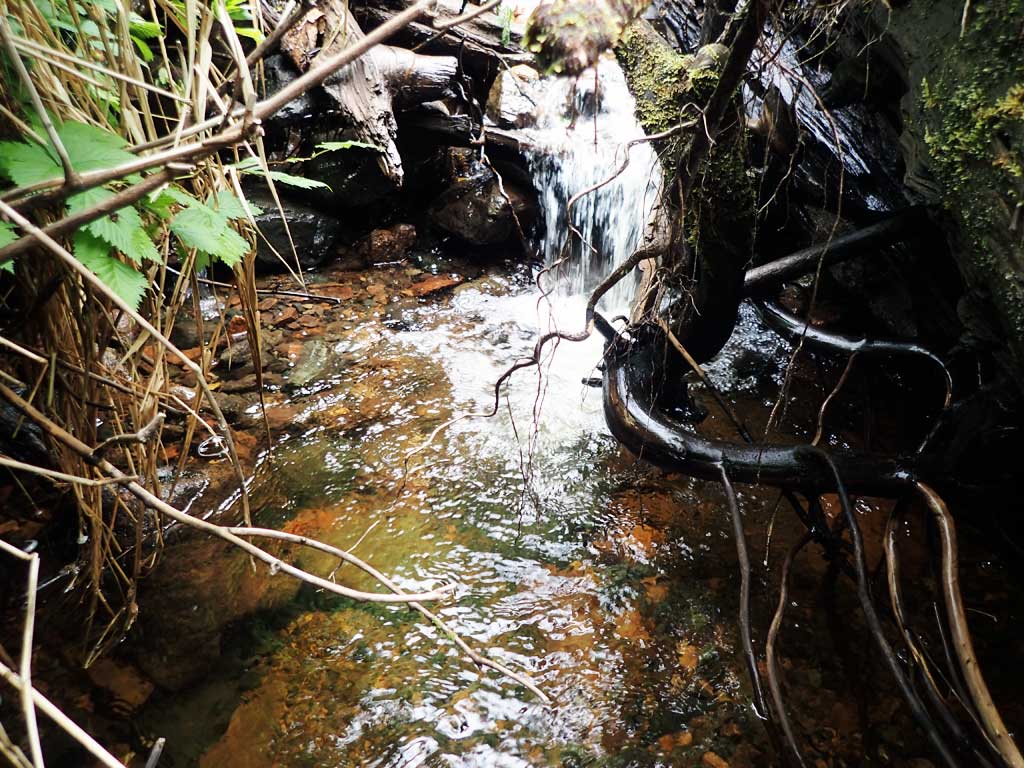
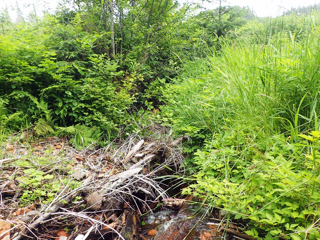
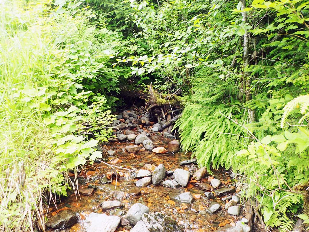
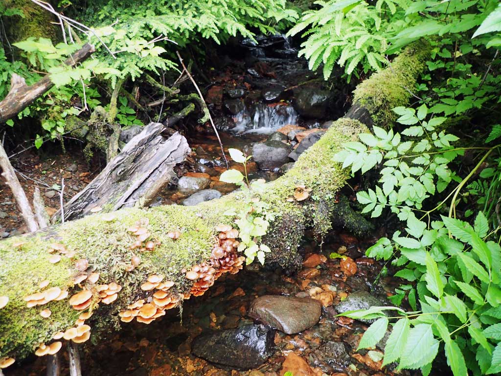
Comments: Last baffle at outlet has scoured away created a barrier outfall. Upstream has nice pool at inlet then some large woody debris steps. Downstream has a few boulder step grade points, mostly low gradient riffle, lots of gravel. Small tributaries come in downstream.
Culvert Measurements
| ID: 1 | Structure Type: Circular pipe (Corrugated steel) | Fish Passage Rating: | |||||||||||||||||||||||||||||||||||||||||
|
|
|
|||||||||||||||||||||||||||||||||||||||||
Comments: Below last baffle at outlet has scoured away any substrate and created a 1.4 outlet perch. Top of culvert length 93'. |
|||||||||||||||||||||||||||||||||||||||||||
Culvert Observations:
|
|||||||||||||||||||||||||||||||||||||||||||
Stream Measurements
|
|
| Stream Width Type | Distance From Crossing (ft) |
Stream Width (ft) |
|---|---|---|
| Upstream ordinary high water | 40.0 | 3.50 |
| Upstream ordinary high water | 60.0 | 5.25 |
| Upstream ordinary high water | 70.0 | 5.00 |
Elevations
| Locator ID | Culvert Number |
River Distance (ft)1 |
Distance From Crossing (ft)2 |
Relative Elevation (ft) |
|---|---|---|---|---|
| Road Elev | 121.51 | |||
| D/S Grade Ctrl (Thalweg) | 0.00 | 89.04 | ||
| D/S Water Surface Elev | 0.00 | 89.15 | ||
| D/S Water Surface Elev | 4.00 | 89.28 | ||
| D/S Grade Ctrl (Thalweg) | 4.00 | 89.03 | ||
| D/S Tailcrest or 1st Thalweg | 6.00 | 89.41 | ||
| D/S Water Surface Elev | 6.00 | 89.62 | ||
| Max Pool Depth | 11.00 | 89.27 | ||
| D/S Water Surface Elev | 11.00 | 89.68 | ||
| Outlet Invert (on substrate) | 14.00 | 89.11 | ||
| D/S Water Surface Elev | 14.00 | 89.64 | ||
| Misc. (On baffle) | 26.00 | 90.70 | ||
| Misc. (Baffle water surface) | 26.00 | 91.09 | ||
| Outlet Culvert Top | 26.00 | 100.01 | ||
| Inlet Culvert Top | 119.00 | 112.15 | ||
| Inlet Culvert Invert (on substrate, first resting) | 131.00 | 105.46 | ||
| U/S Water Surface Elev | 131.00 | 105.53 |
Notes:
- River distance is measured continuously throughout the survey reach along the thalweg of the stream.
- Measured from each end of the crossing along the thalweg of the stream.
Fish Sampling Efforts
| Gear Type: Minnow Trap (A) | Trap Duration(h): 1.0 | |
| Comments: no fish caught | ||
| Gear Type: Minnow Trap (B) | Trap Duration(h): 0.75 | |
| Comments: no fish caught | ||
Fish Observations
No fish observations occurred during this survey.
Photos


Questions or comments about this report can be directed to dfg.dsf.webmaster@alaska.gov