Fish Passage Site 10103535
Coordinates (dec. deg.): 55.58545°, -133.03996°
Legal Description: C072S081E31
Region: Southeast
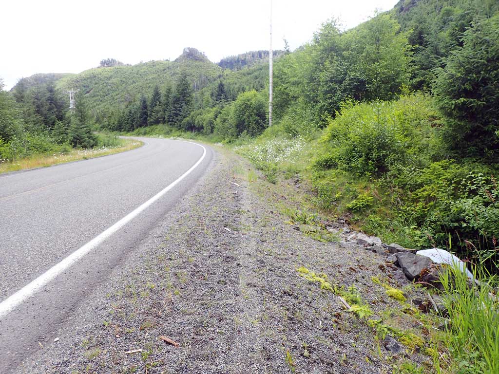
Road Name: Big Salt Lake Road
Datum: NAD83
Quad Name / ITM: Craig C-4
AWC Stream #: 103-60-10390
Stream Name: Unnamed
Elevation:
Site Comments: None
Survey SEA17-BSL19
Observers: Elizabeth Flory
Overall Fish Passage Rating:
Tidal: No
Backwatered: No
Step Pools: No
Construction Year:
Site Observations:
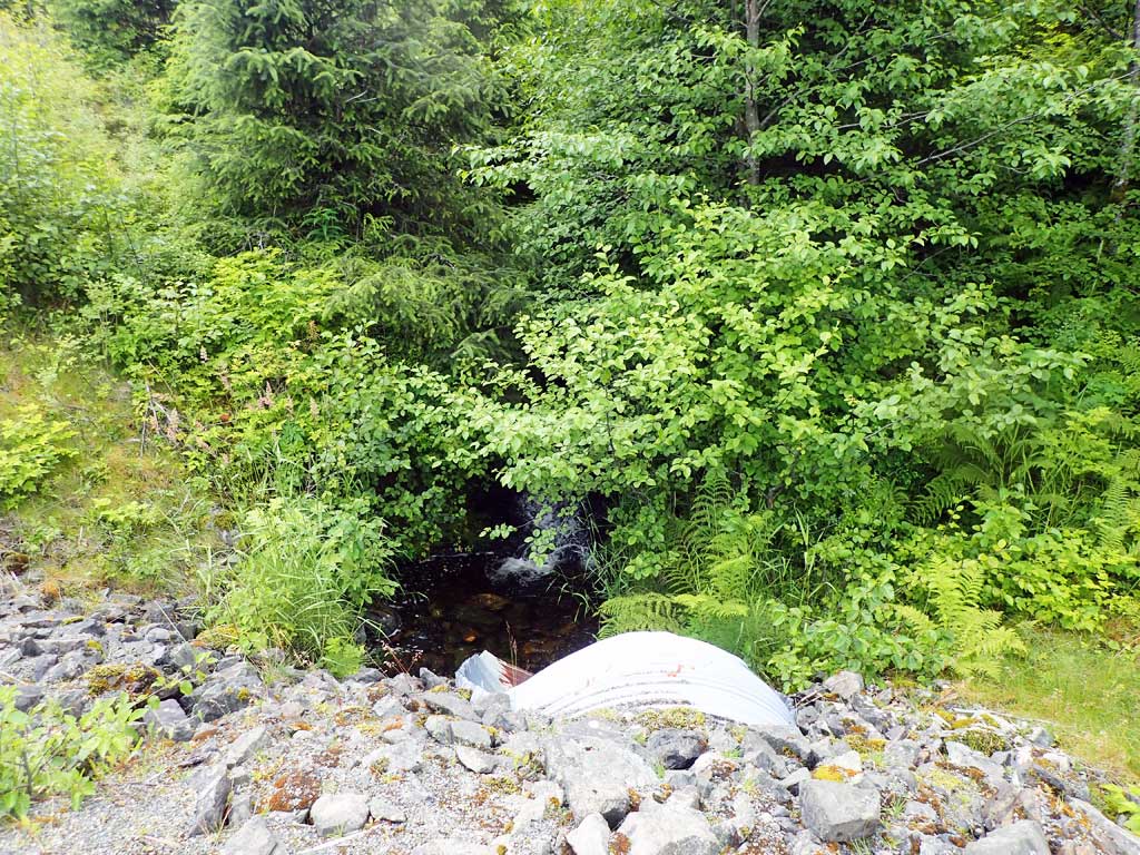
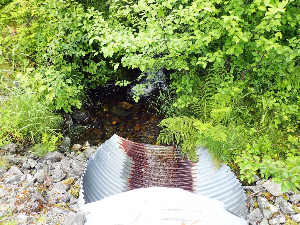
- Culvert gradient red
- Outfall height red
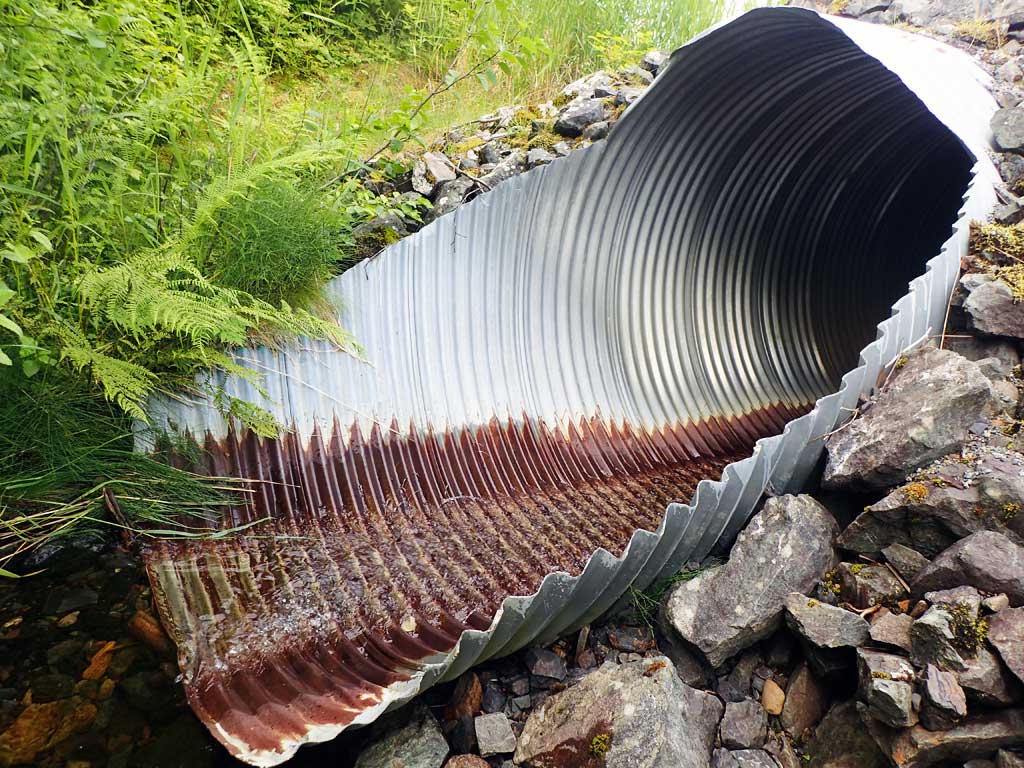
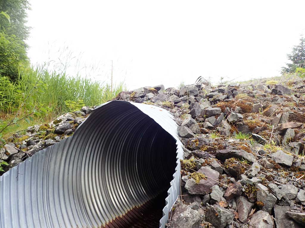
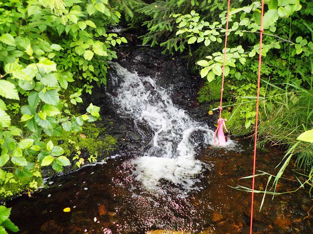
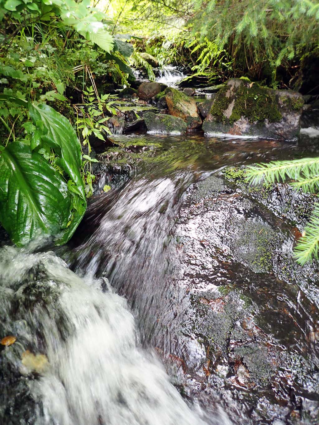
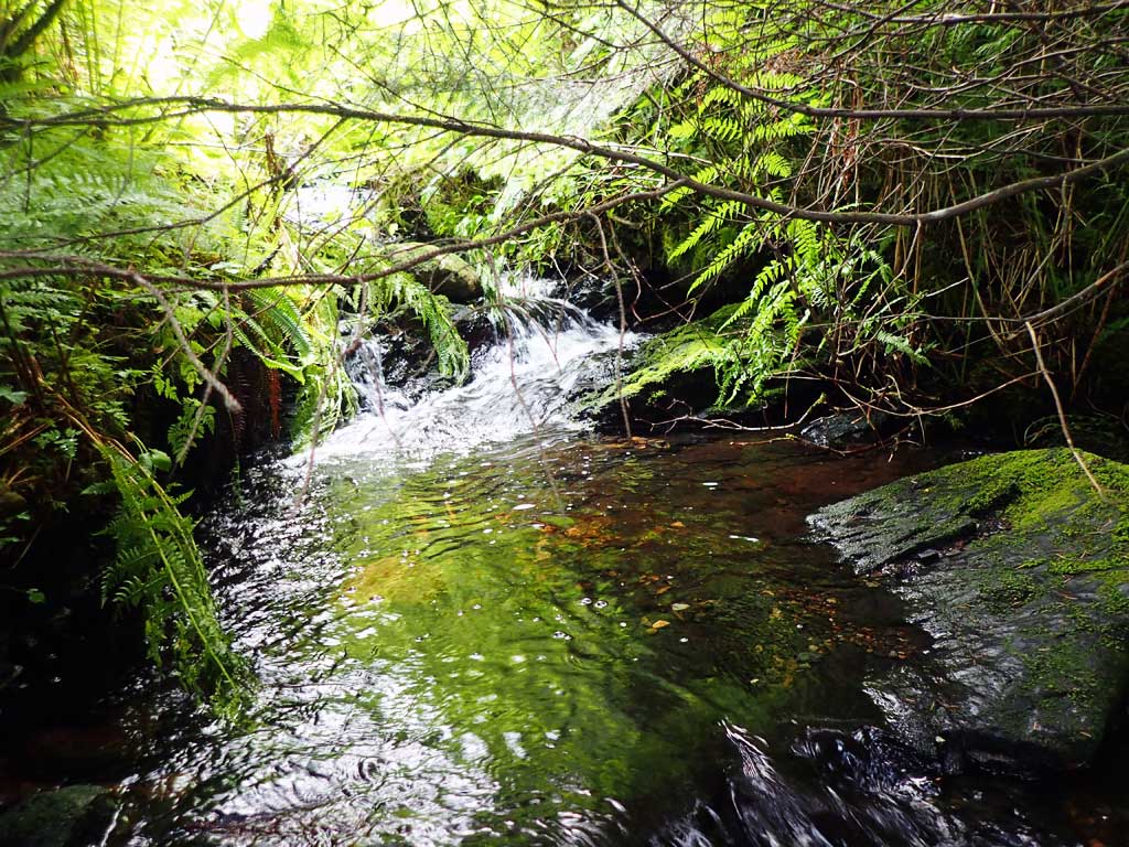
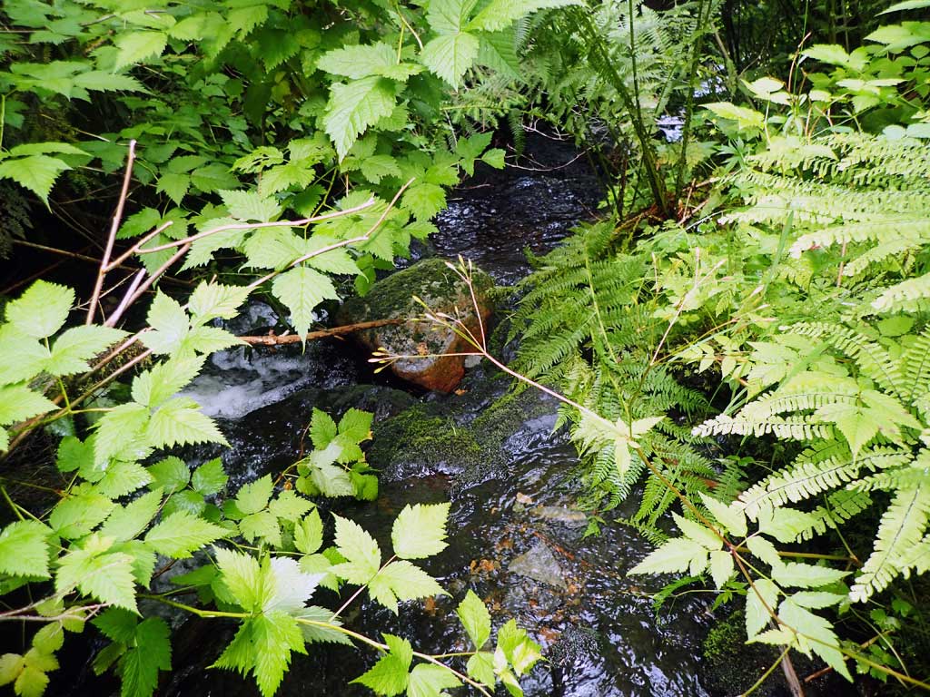
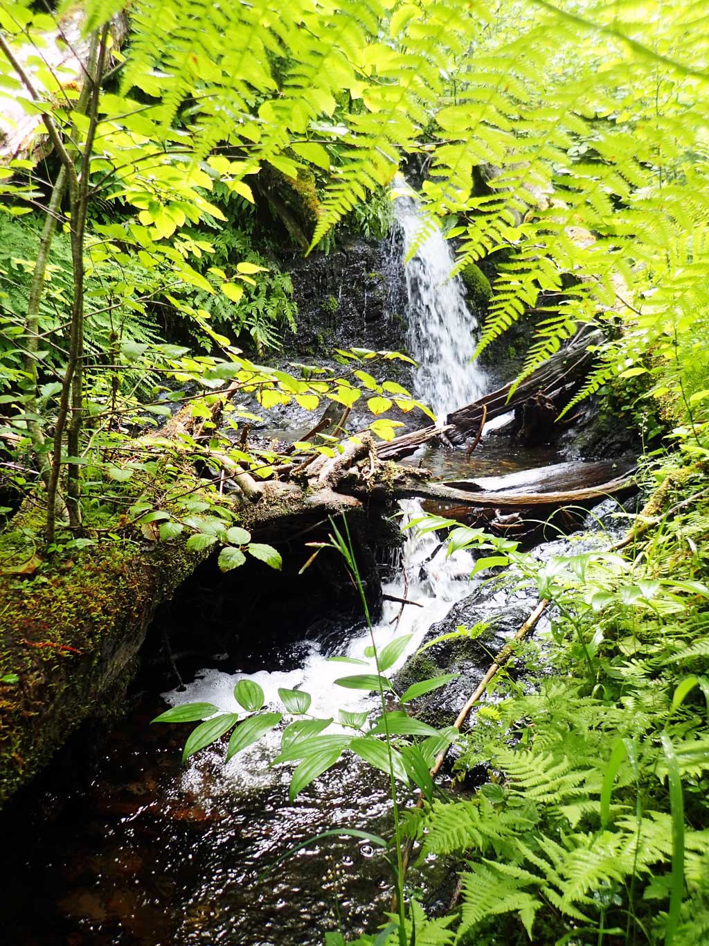
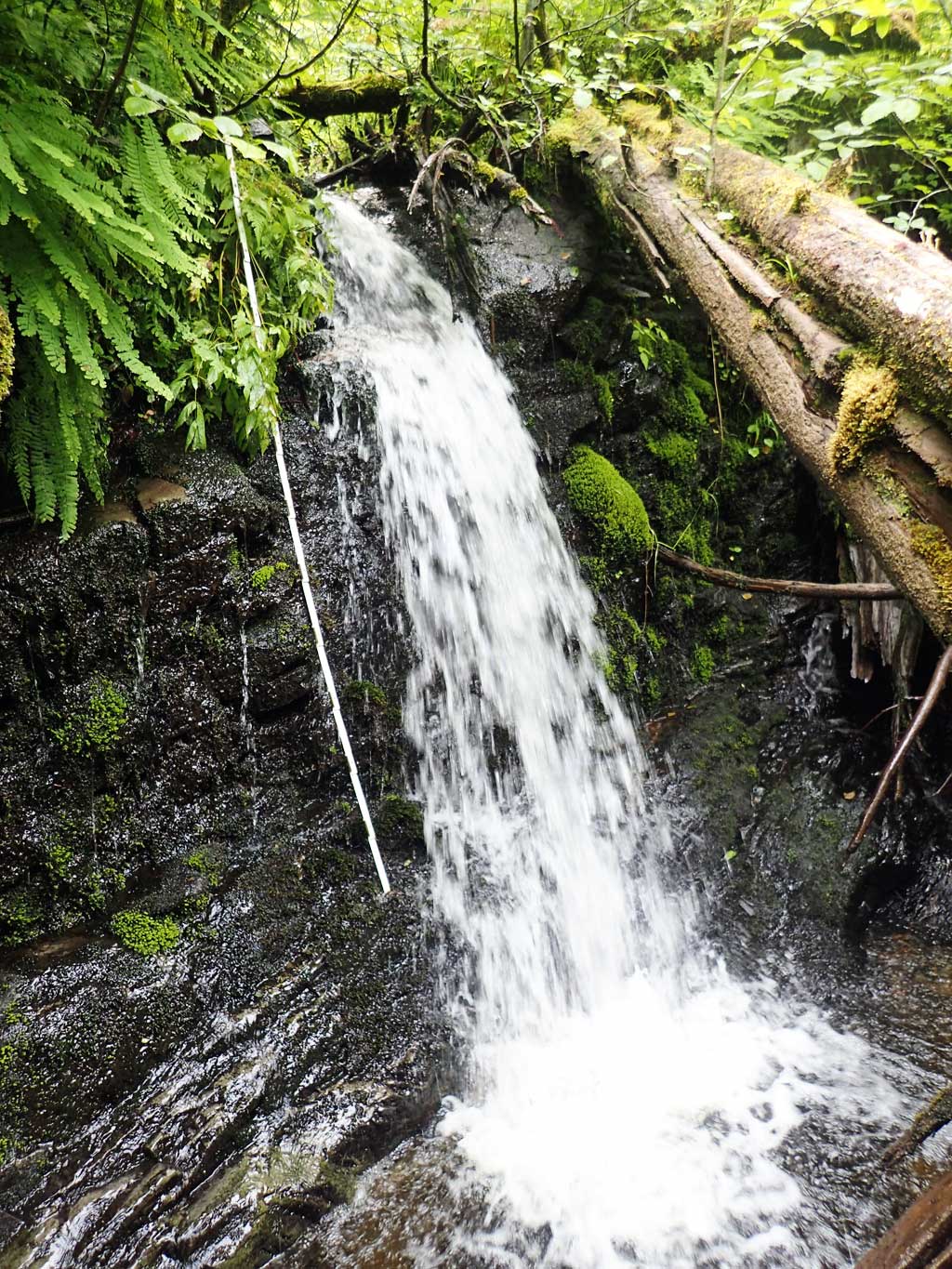
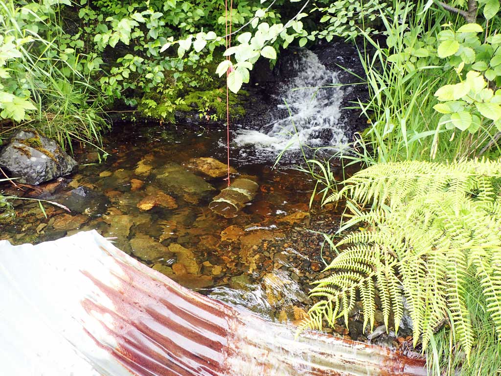
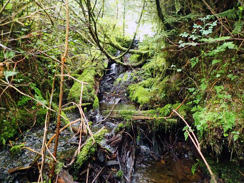
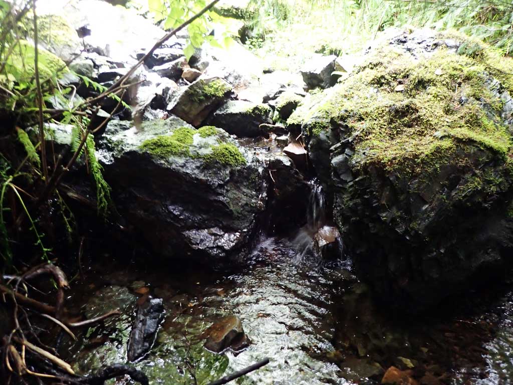
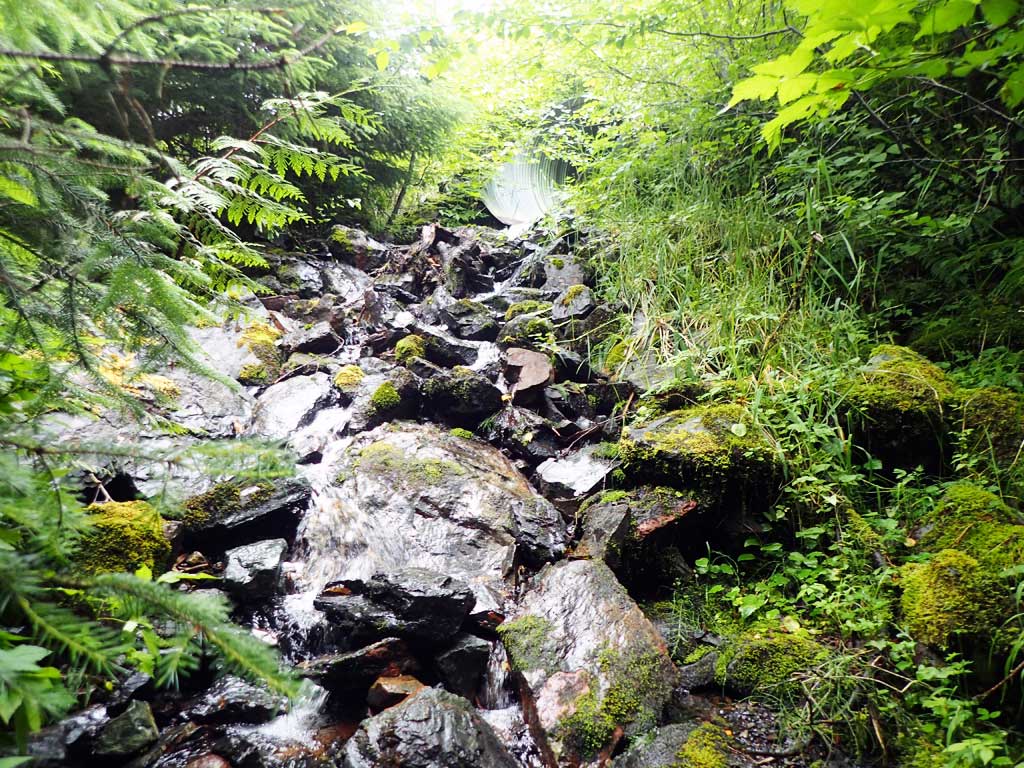
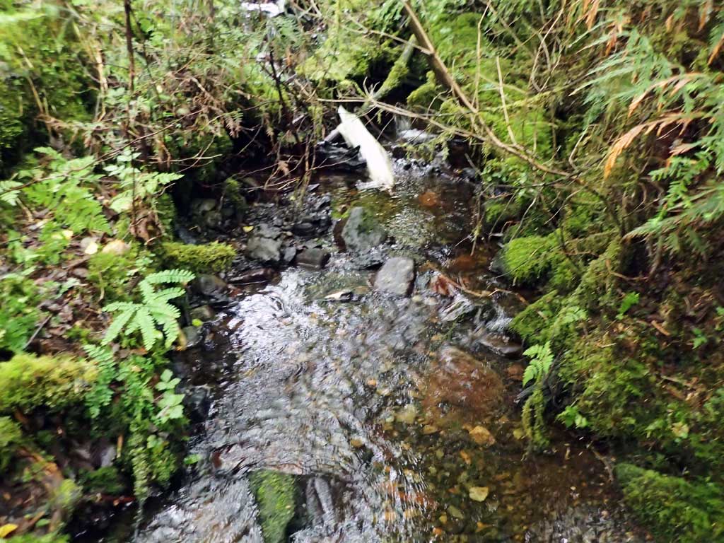
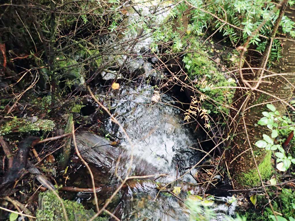
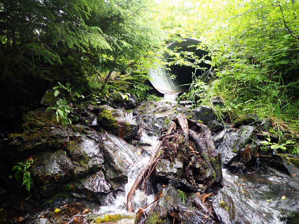
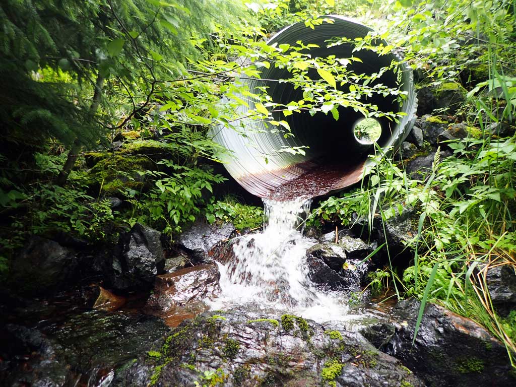
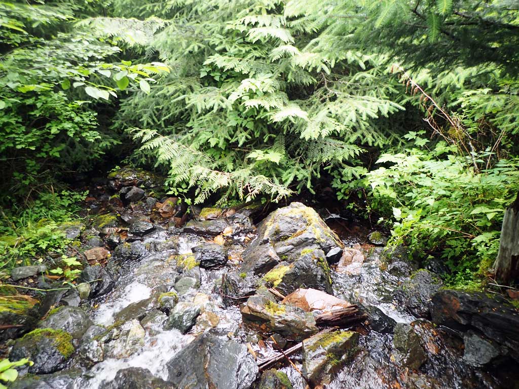
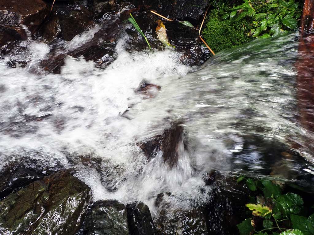
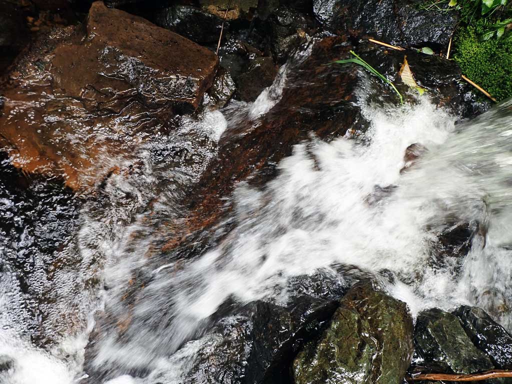
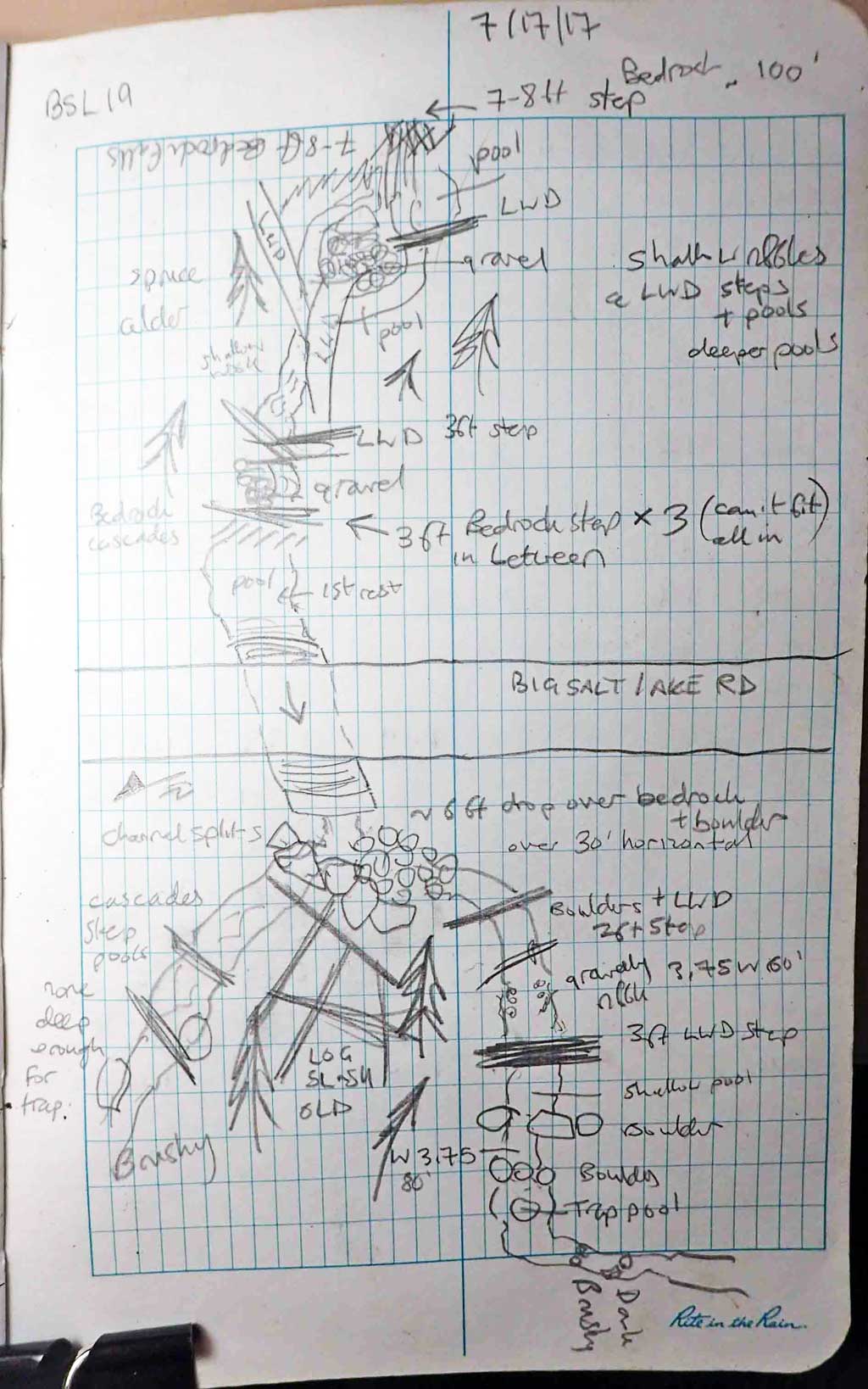
Comments: Upstream several bedrock step cascades, one 7-8ft high. Downstream outlet falls >1ft on to bedrock and boulders. Channel split at base of boulders. Doubtful if anadromous above downstream trap at 80ft downstream, but 3 dollys caught in pool at inlet.
Culvert Measurements
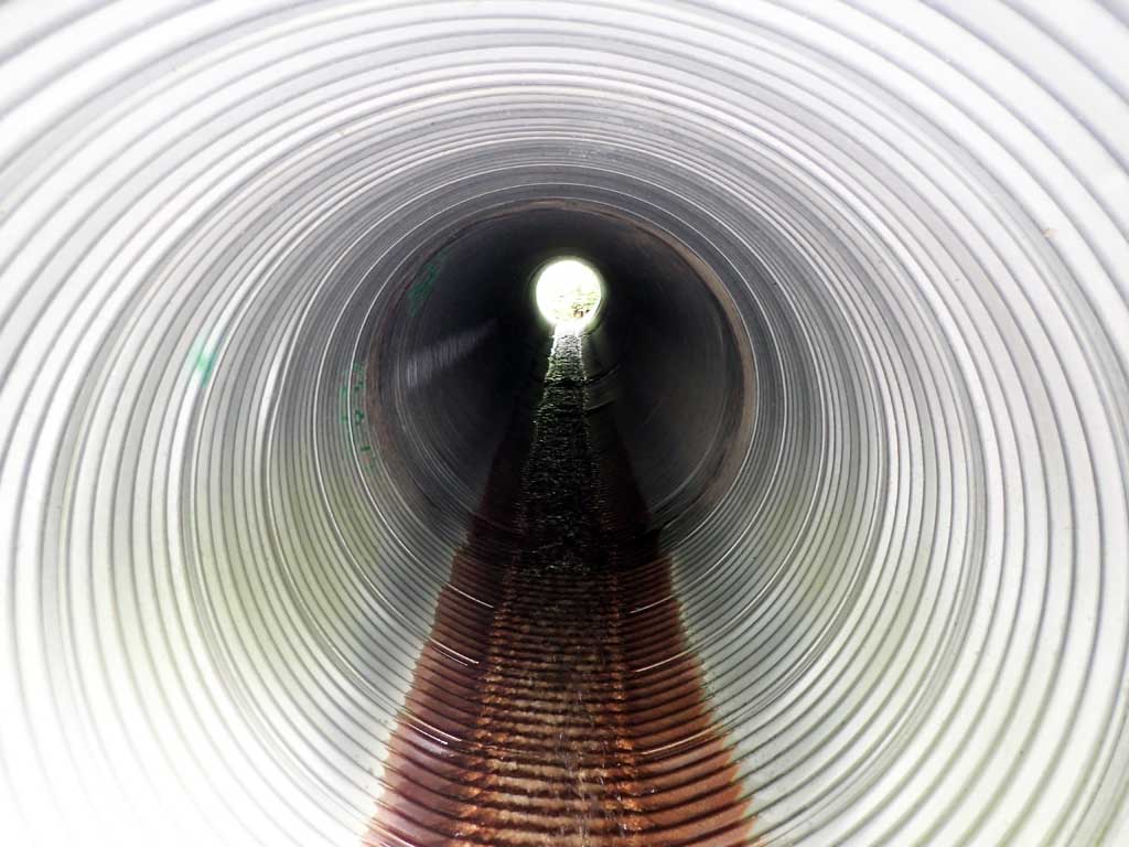
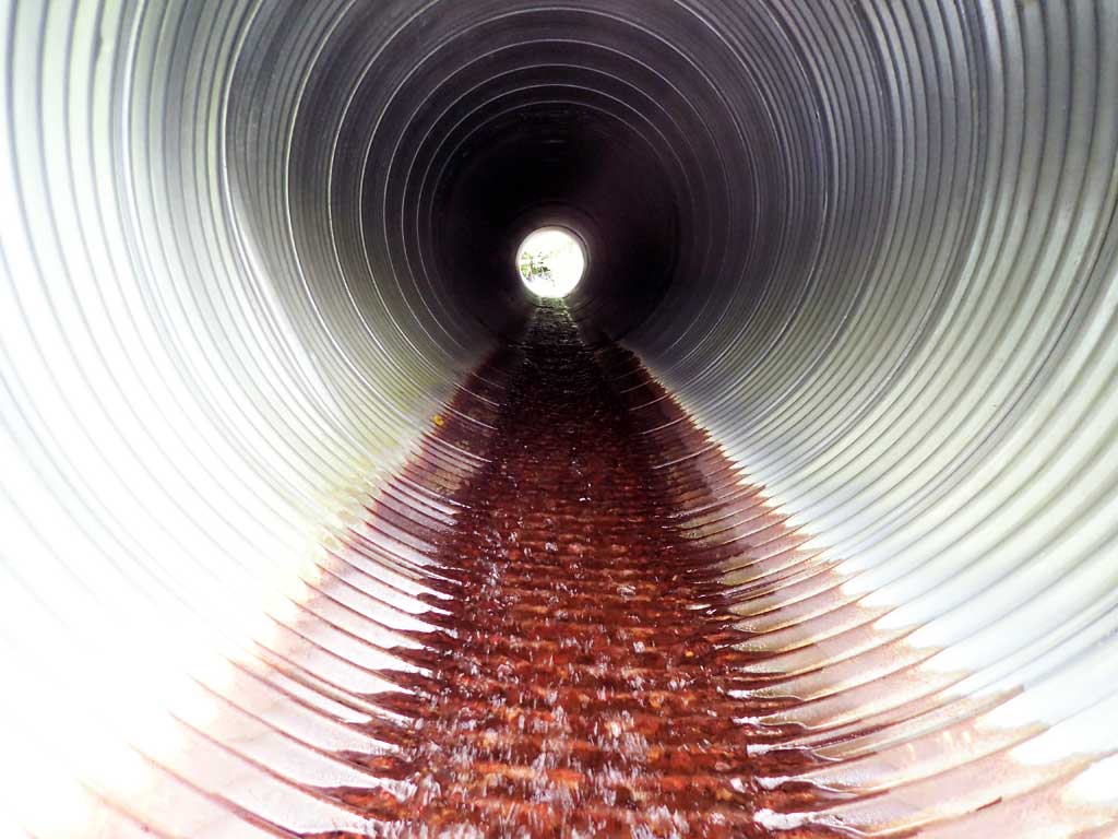
| ID: 1 | Structure Type: Circular pipe (Corrugated steel) | Fish Passage Rating: | |||||||||||||||||||||||||||||||||||||||||
|
|
|
|||||||||||||||||||||||||||||||||||||||||
Comments: Length includes mitres. Culvert has water entering through holes in pipe at inlet. Top of culvert length 78.3'. |
|||||||||||||||||||||||||||||||||||||||||||
Culvert Observations:
|
|||||||||||||||||||||||||||||||||||||||||||
Stream Measurements
|
|
| Stream Width Type | Distance From Crossing (ft) |
Stream Width (ft) |
|---|---|---|
| Upstream ordinary high water | 40.0 | 4.25 |
| Upstream ordinary high water | 60.0 | 4.00 |
| Upstream ordinary high water | 80.0 | 3.25 |
Elevations
| Locator ID | Culvert Number |
River Distance (ft)1 |
Distance From Crossing (ft)2 |
Relative Elevation (ft) |
|---|---|---|---|---|
| Road Elev | 108.15 | |||
| D/S Water Surface Elev | 0.00 | 87.87 | ||
| D/S Grade Ctrl (Thalweg) | 0.00 | 87.74 | ||
| D/S Water Surface Elev | 8.00 | 87.77 | ||
| D/S Tailcrest or 1st Thalweg | 8.00 | 87.85 | ||
| Max Pool Depth (Crack in bedrock) | 14.00 | 88.29 | ||
| D/S Water Surface Elev | 14.00 | 92.04 | ||
| Outlet Invert (on pipe) | 19.00 | 93.57 | ||
| U/S Water Surface Elev | 19.00 | 93.64 | ||
| Outlet Culvert Top | 27.00 | 100.00 | ||
| Inlet Culvert Top | 105.30 | 106.30 | ||
| U/S Water Surface Elev | 114.30 | 101.30 | ||
| Inlet Culvert Invert (on pipe) | 114.30 | 101.18 | ||
| U/S Water Surface Elev | 118.30 | 101.26 | ||
| U/S Thalweg (1st resting) | 118.30 | 100.32 | ||
| U/S Grade Ctrl (Thalweg) | 129.30 | 104.00 | ||
| U/S Water Surface Elev | 129.30 | 104.12 |
Notes:
- River distance is measured continuously throughout the survey reach along the thalweg of the stream.
- Measured from each end of the crossing along the thalweg of the stream.
Fish Sampling Efforts
| Gear Type: Minnow Trap (A) | Trap Duration(h): 1.5 | |
| Comments: Pool at inlet, 3 dollys | ||
| Gear Type: Minnow Trap (B) | Trap Duration(h): 1.0 | |
| Comments: 80ft downstream | ||
Fish Observations
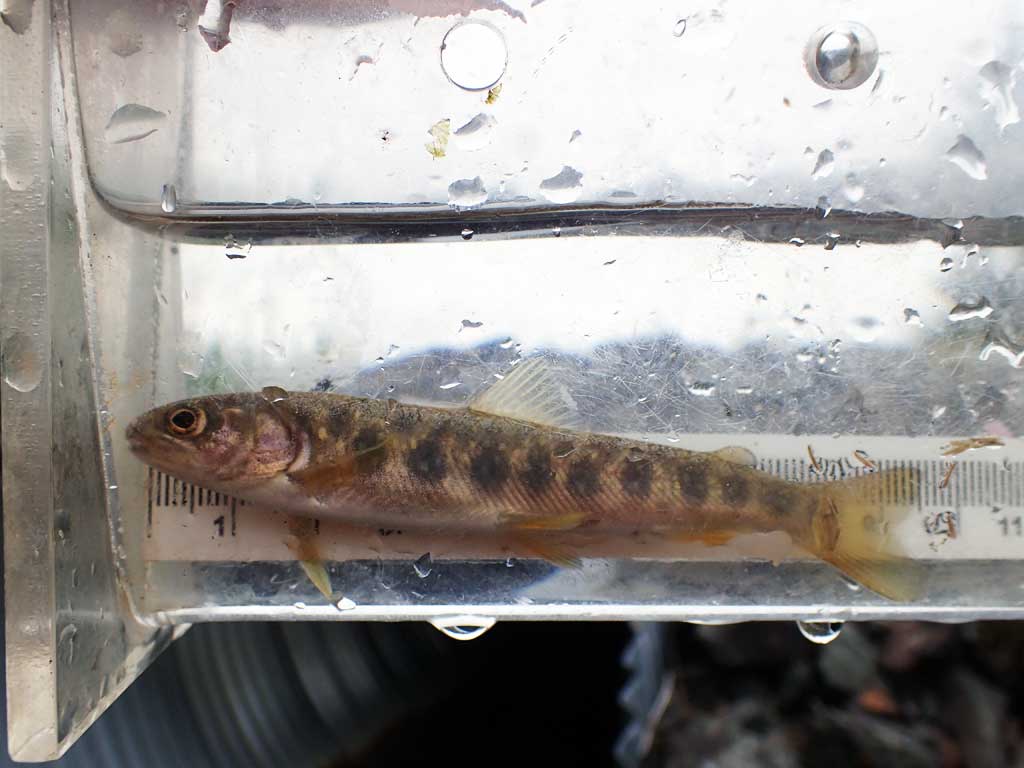
| Species: juvenile Dolly Varden | Life History: | ||
| Total Fish Observed: 3 | Fish Measured: 3 | Fork Lengths (mm) Min: 92 Max: 108 Mean: 98 | |
| Collected/Observed by Gear Type: Upstream Minnow Trap (3) | |||
Photos


Questions or comments about this report can be directed to dfg.dsf.webmaster@alaska.gov