Fish Passage Site 10103534
Coordinates (dec. deg.): 55.57517°, -133.06174°
Legal Description: C073S081E02
Region: Southeast
Road Name: Big Salt Lake Road
Datum: NAD83
Quad Name / ITM: Craig C-4
AWC Stream #:
Stream Name: Unnamed
Elevation:
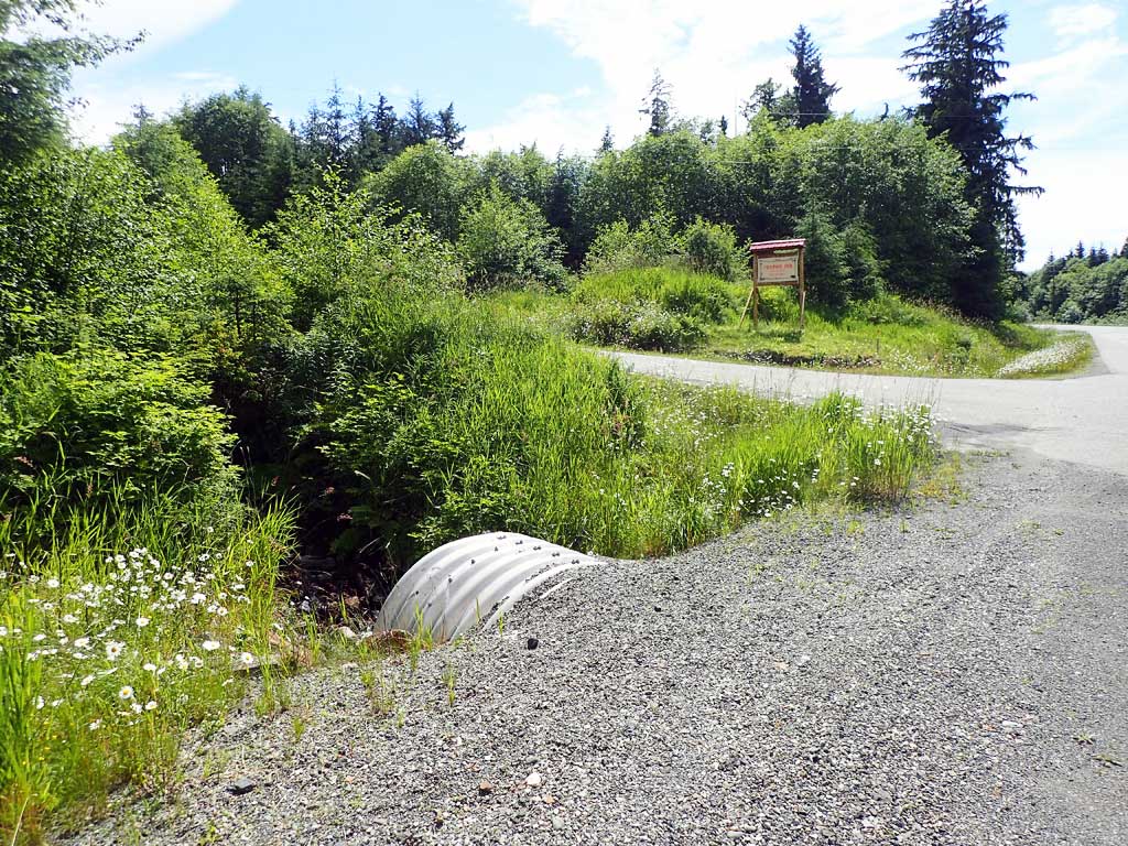
Site Comments: Near milepost 2.
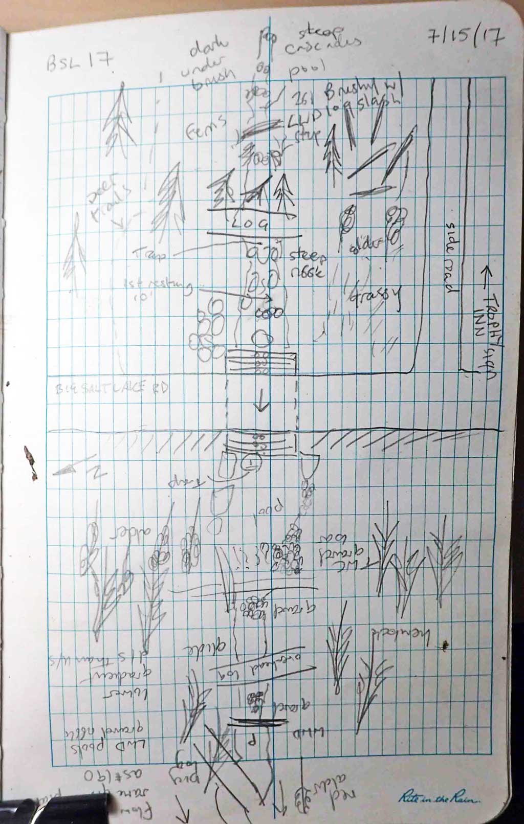
Survey SEA17-BSL17
Observers: Elizabeth Flory, Kelly Petty
Overall Fish Passage Rating:
Tidal: No
Backwatered: No
Step Pools: No
Construction Year:
Site Observations:
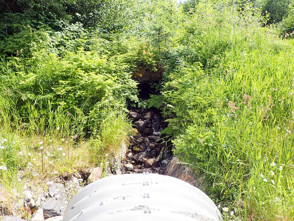
- Culvert gradient red
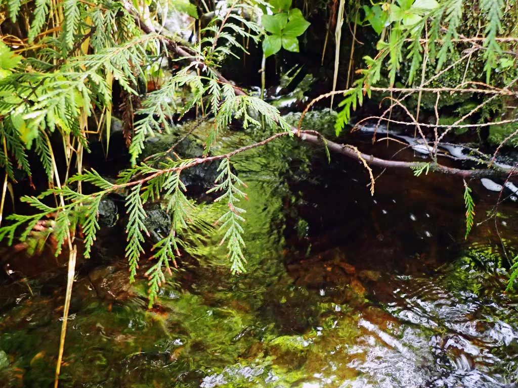
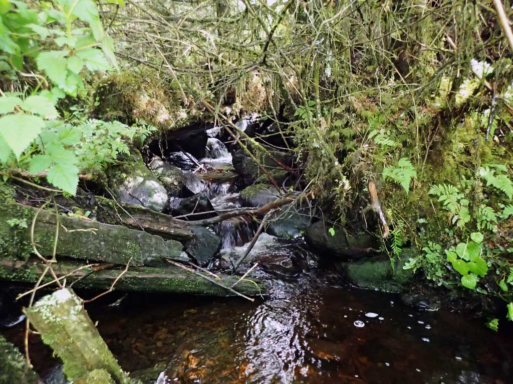
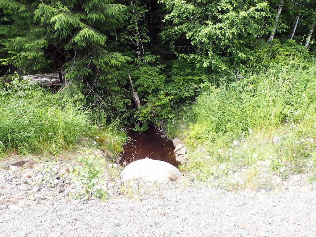
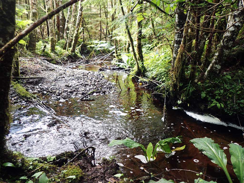
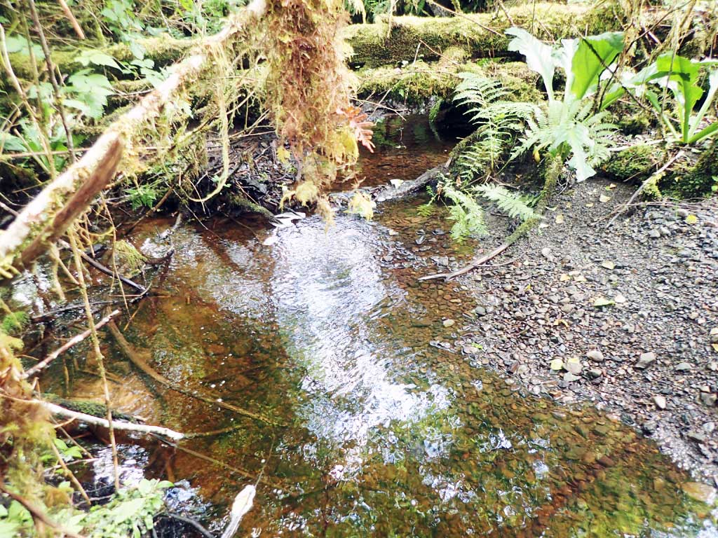
Comments: Upstream steep riffle with small step pools, very brushy. Downstream low gradient riffle and pool down to same broad gravel plain as BSL16.
Culvert Measurements
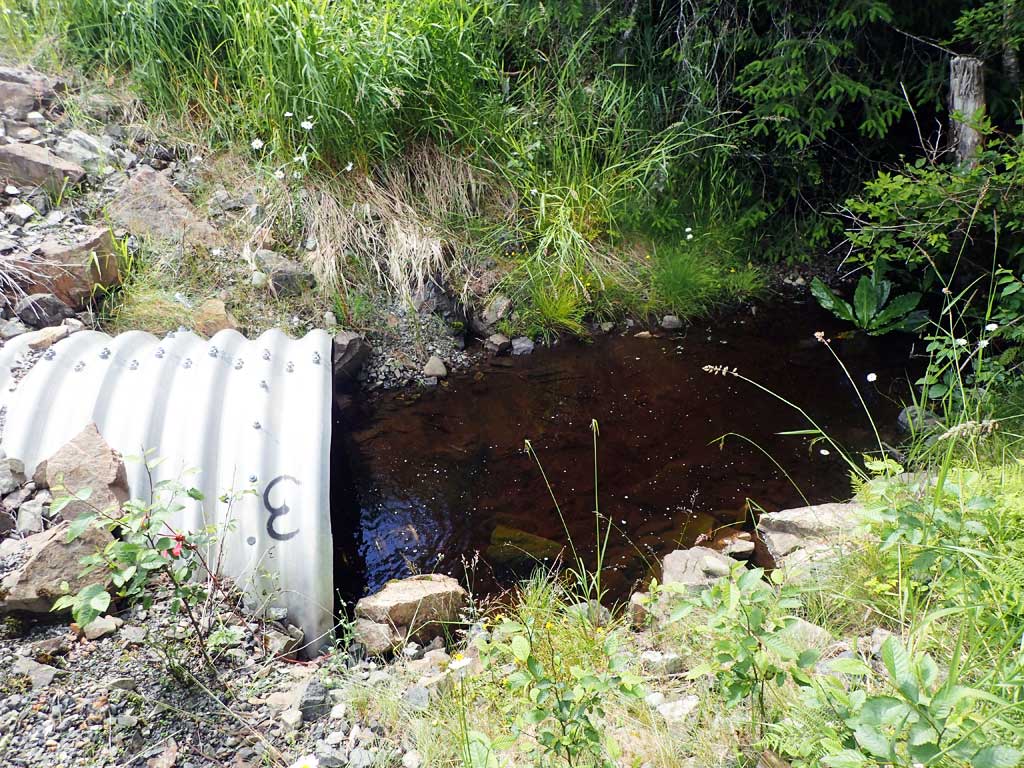
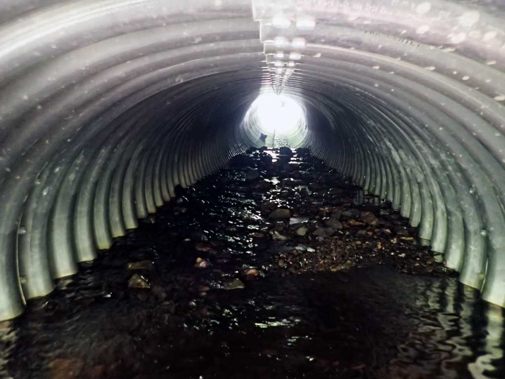
| ID: 1 | Structure Type: Oval (Structural aluminum plate) | Fish Passage Rating: | |||||||||||||||||||||||||||||||||||||||||
|
|
|
|||||||||||||||||||||||||||||||||||||||||
Comments: Water surface gradient through culvert 7.17%. |
|||||||||||||||||||||||||||||||||||||||||||
Culvert Observations:
|
|||||||||||||||||||||||||||||||||||||||||||
Stream Measurements
|
|
| Stream Width Type | Distance From Crossing (ft) |
Stream Width (ft) |
|---|---|---|
| Downstream ordinary high water | 20.0 | 3.80 |
| Downstream ordinary high water | 40.0 | 4.25 |
| Downstream ordinary high water | 70.0 | 3.50 |
| Upstream ordinary high water | 10.0 | 4.75 |
| Upstream ordinary high water | 50.0 | 3.75 |
| Upstream ordinary high water | 70.0 | 3.50 |
Elevations
| Locator ID | Culvert Number |
River Distance (ft)1 |
Distance From Crossing (ft)2 |
Relative Elevation (ft) |
|---|---|---|---|---|
| Road Elev | 109.73 | |||
| D/S Grade Ctrl (Thalweg) | 0.00 | 96.13 | ||
| D/S Water Surface Elev | 0.00 | 96.40 | ||
| D/S Tailcrest or 1st Thalweg | 12.00 | 96.65 | ||
| D/S Water Surface Elev | 12.00 | 96.84 | ||
| D/S Water Surface Elev | 24.00 | 96.56 | ||
| Max Pool Depth | 24.00 | 95.74 | ||
| Outlet Invert | 32.00 | 95.55 | ||
| D/S Water Surface Elev | 32.00 | 96.59 | ||
| Outlet Culvert Top | 33.00 | 100.00 | ||
| Inlet Culvert Invert (on pipe) | 121.00 | 102.71 | ||
| U/S Water Surface Elev | 121.00 | 102.91 | ||
| Inlet Culvert Top | 121.00 | 108.99 | ||
| U/S Grade Ctrl (Thalweg) | 129.00 | 103.46 | ||
| U/S Water Surface Elev | 129.00 | 103.48 | ||
| U/S Grade Ctrl (Thalweg) | 145.00 | 106.21 | ||
| U/S Water Surface Elev | 145.00 | 106.64 |
Notes:
- River distance is measured continuously throughout the survey reach along the thalweg of the stream.
- Measured from each end of the crossing along the thalweg of the stream.
Fish Sampling Efforts
| Gear Type: Minnow Trap (A) | Trap Duration(h): 1.2 | |
| Comments: 20ft upstream | ||
| Gear Type: Minnow Trap (B) | Trap Duration(h): 1.0 | |
| Comments: 20ft downstream, 6 dollys | ||
Fish Observations
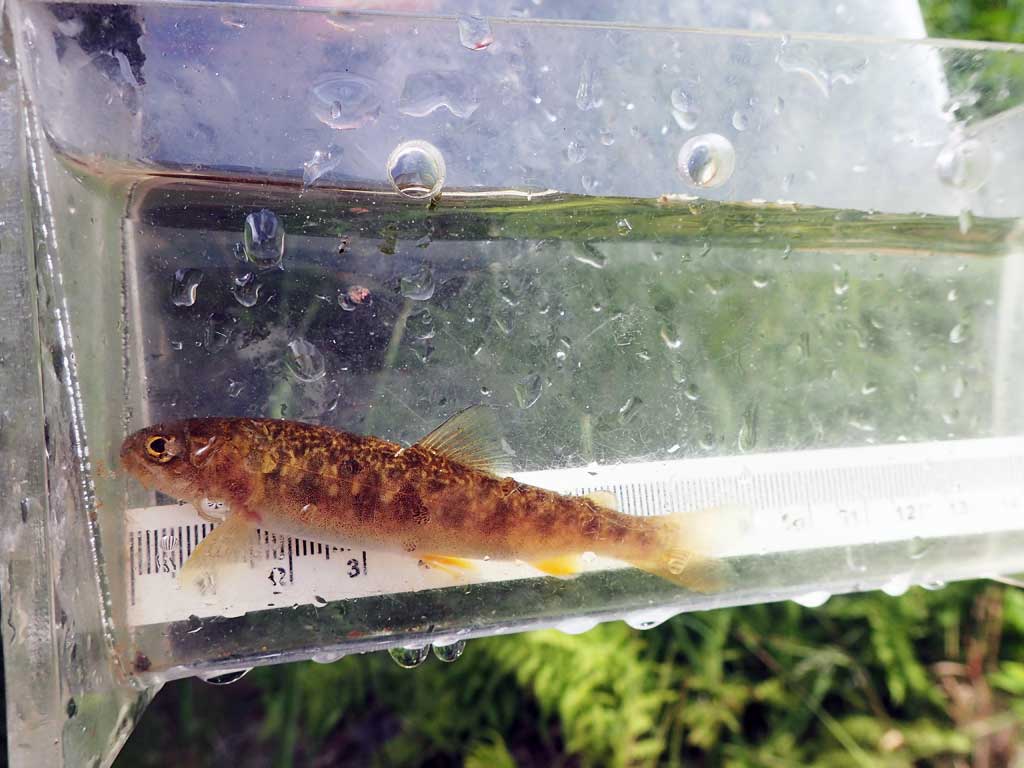
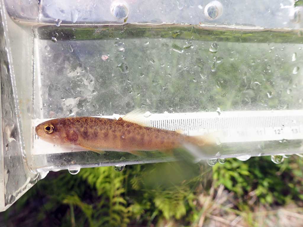
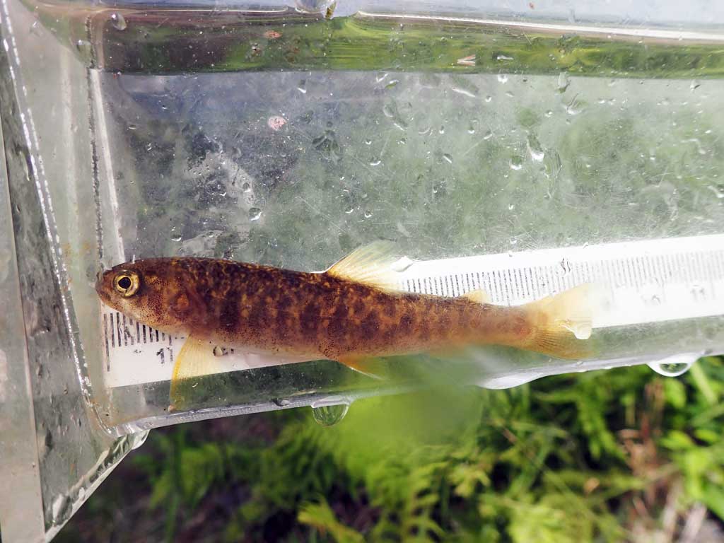
| Species: juvenile Dolly Varden | Life History: Unknown | ||
| Total Fish Observed: 6 | Fish Measured: 6 | Fork Lengths (mm) Min: 68 Max: 106 Mean: 84 | |
| Collected/Observed by Gear Type: Downstream Minnow Trap (6) | |||
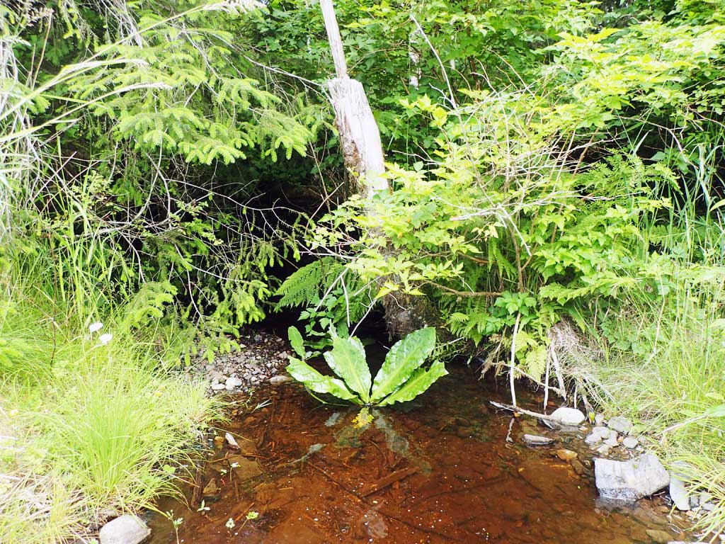
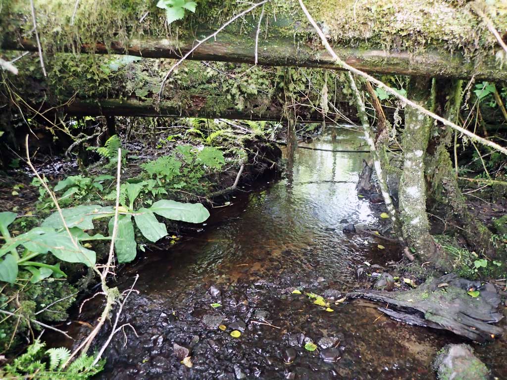
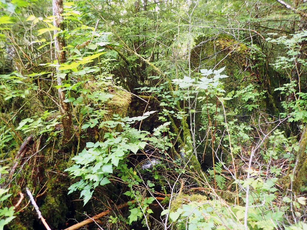
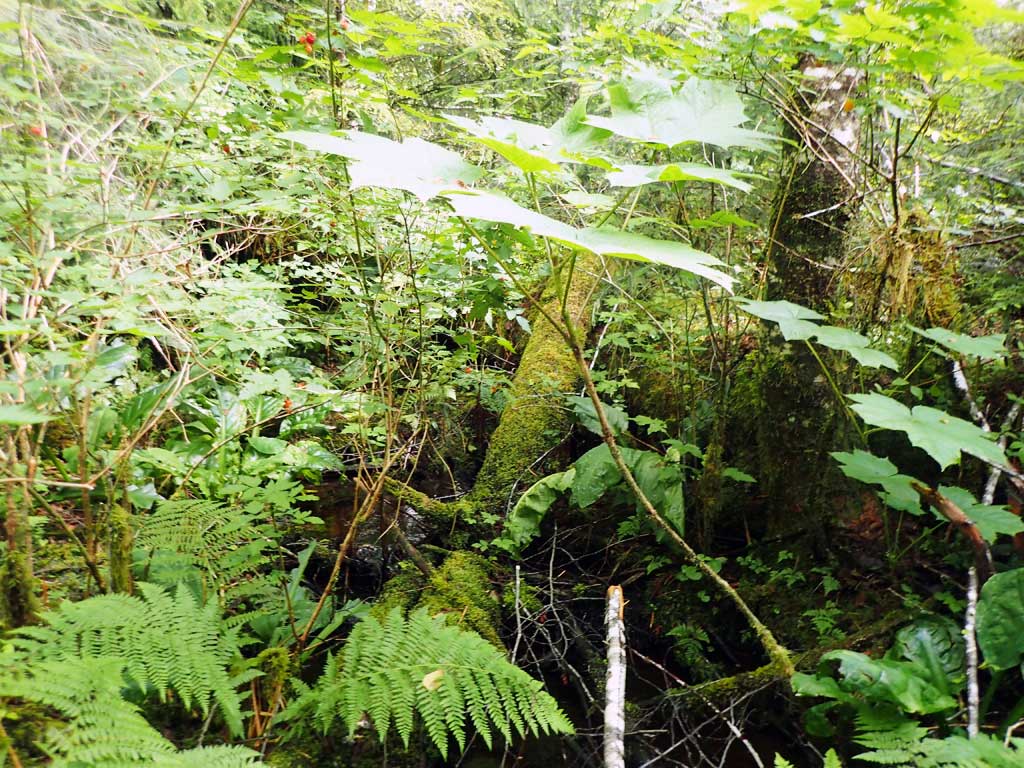
Photos


Questions or comments about this report can be directed to dfg.dsf.webmaster@alaska.gov