Fish Passage Site 10103533
Coordinates (dec. deg.): 55.57451°, -133.06259°
Legal Description: C073S081E02
Region: Southeast
Road Name: Big Salt Lake Road
Datum: NAD83
Quad Name / ITM: Craig C-4
AWC Stream #:
Stream Name: Unnamed
Elevation:
Site Comments: None
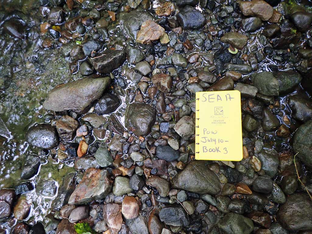
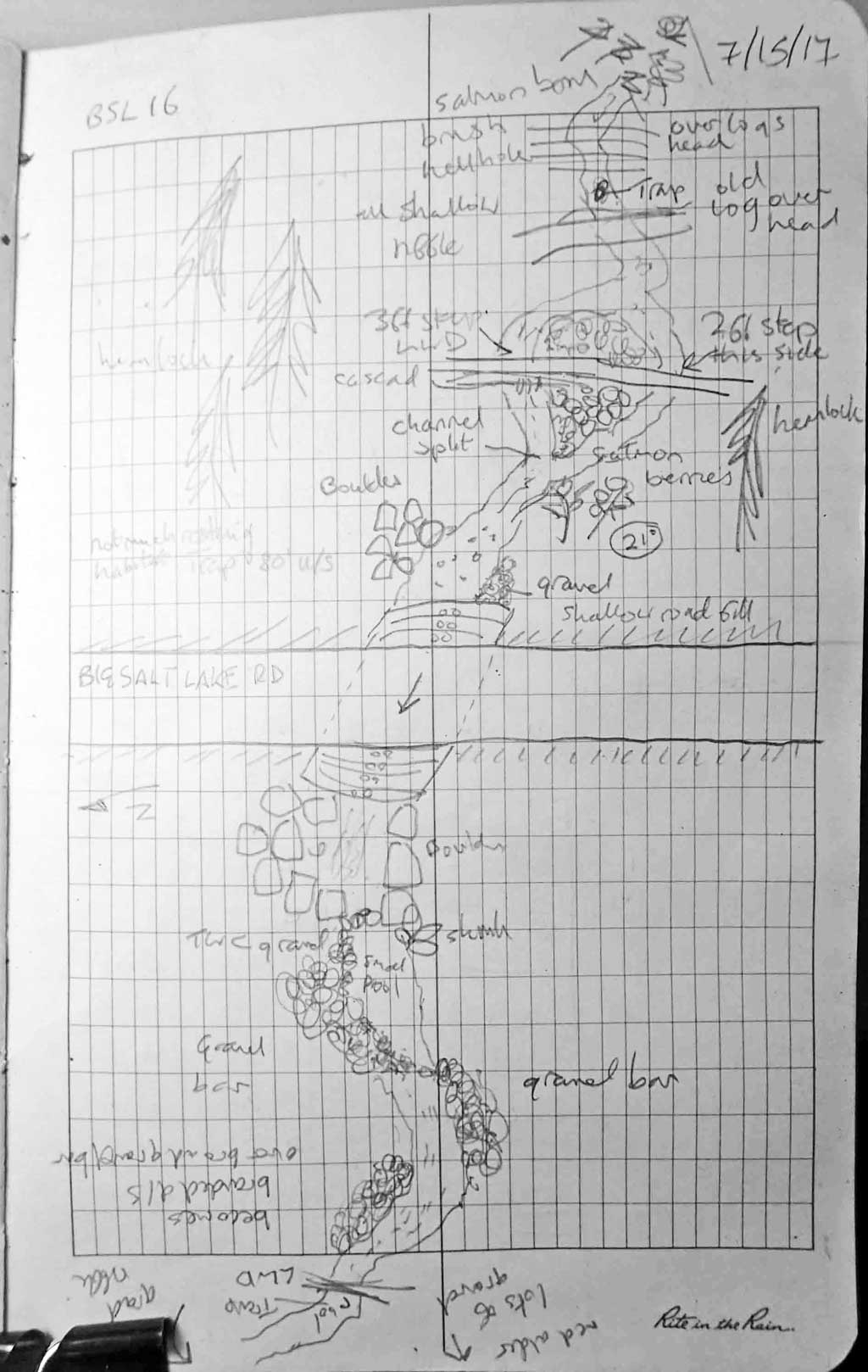
Survey SEA17-BSL16
Observers: Elizabeth Flory, Kelly Petty
Overall Fish Passage Rating:
Tidal: No
Backwatered: No
Step Pools: No
Construction Year:
Site Observations:
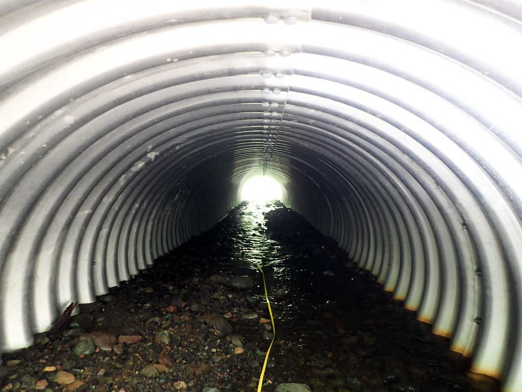
- Culvert gradient gray
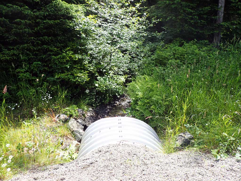
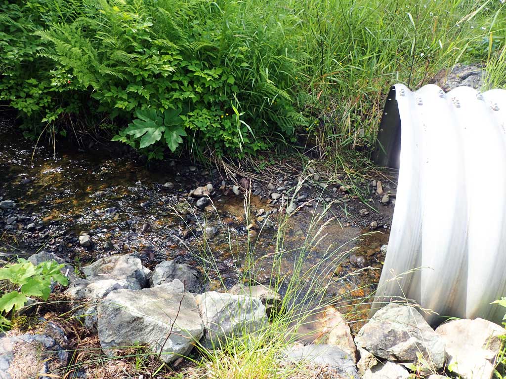
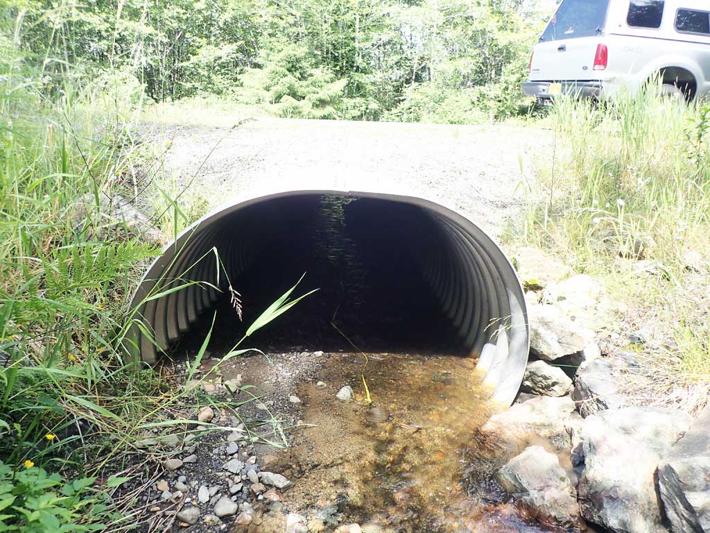
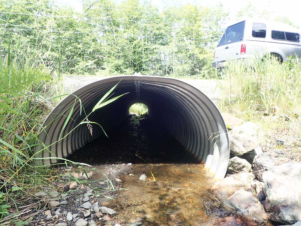
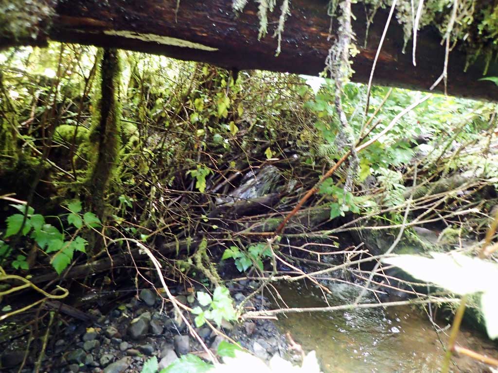
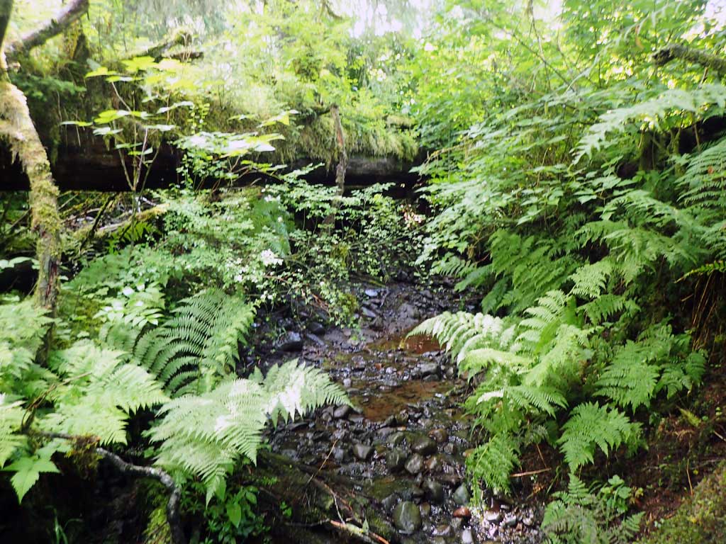
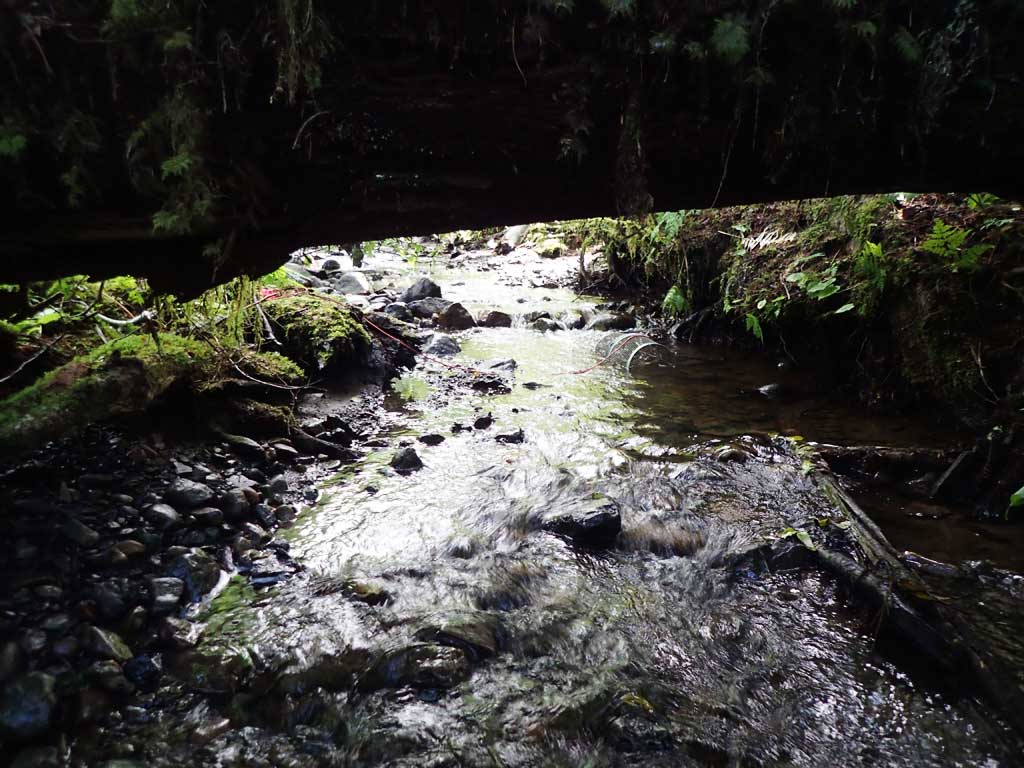
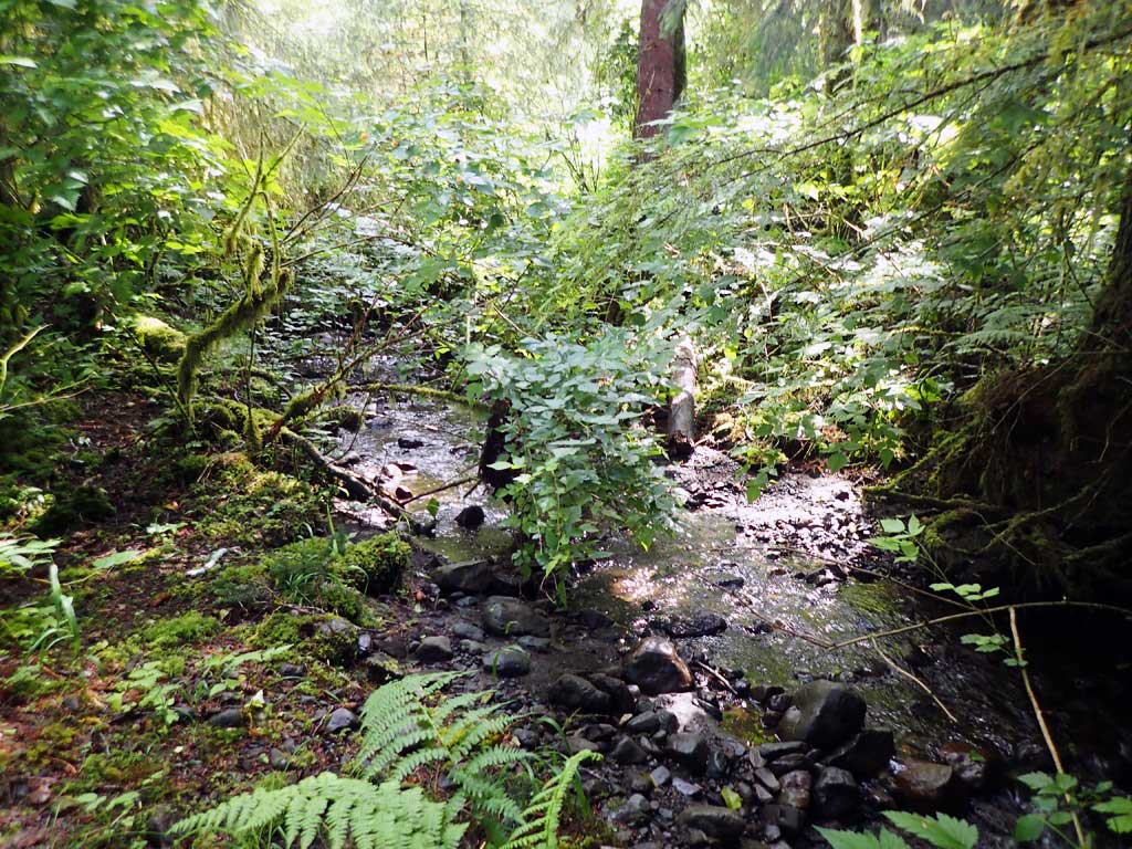
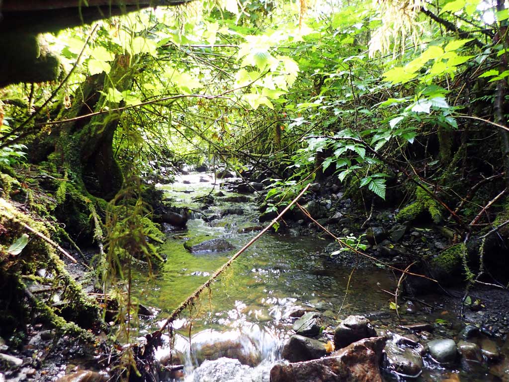
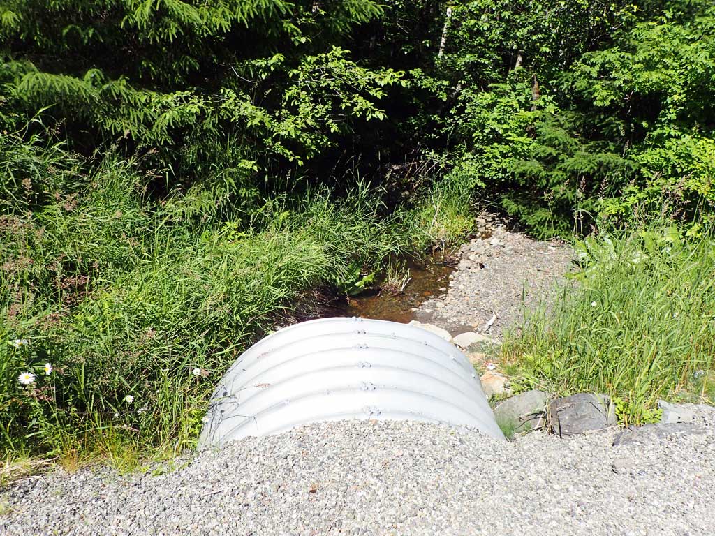
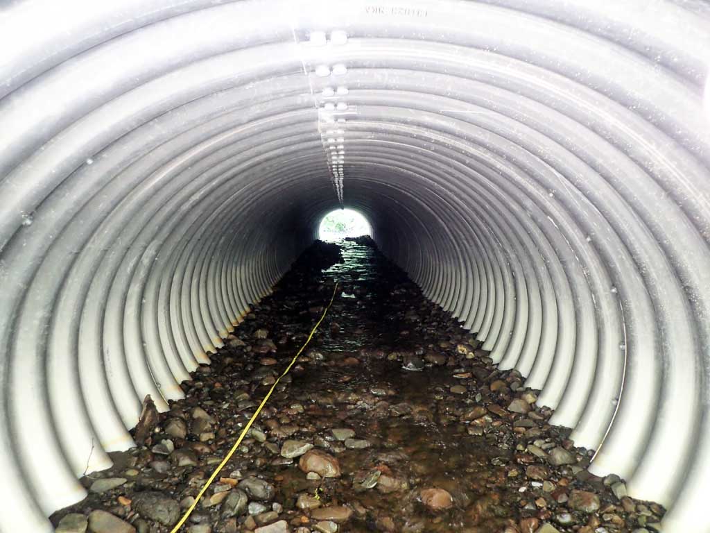
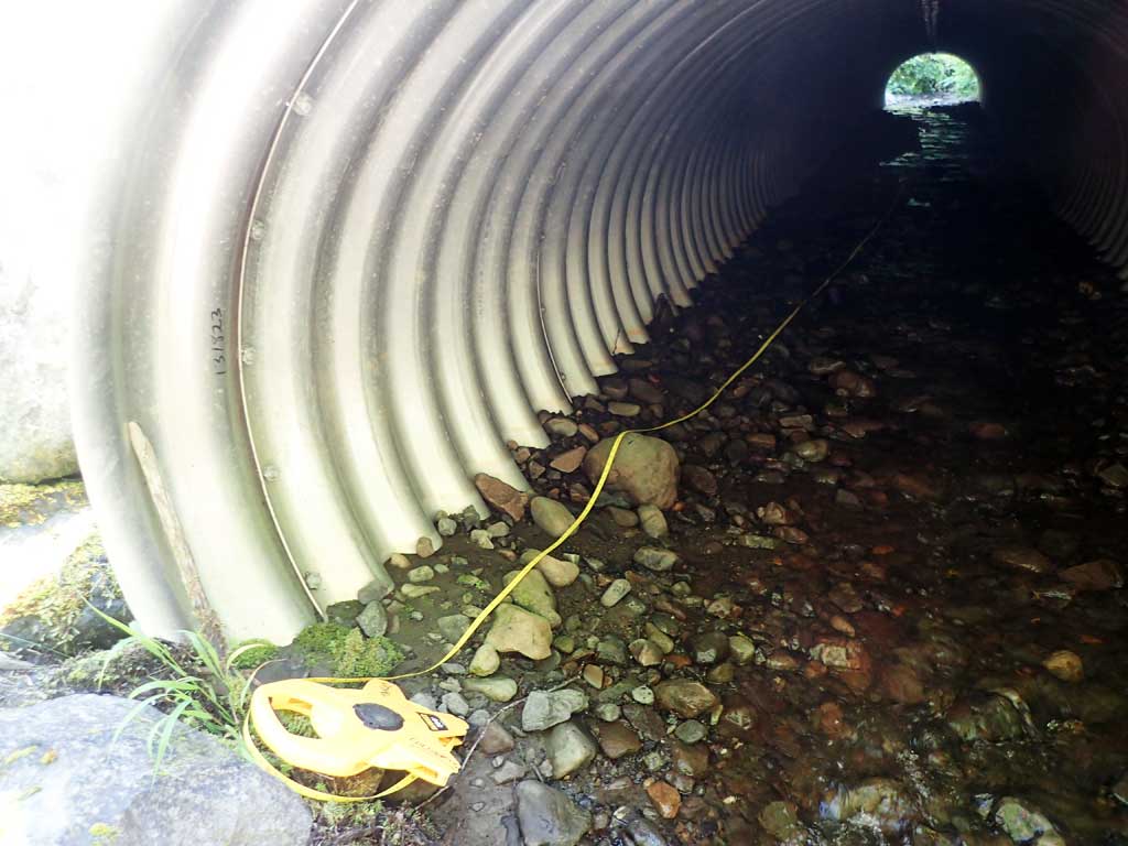
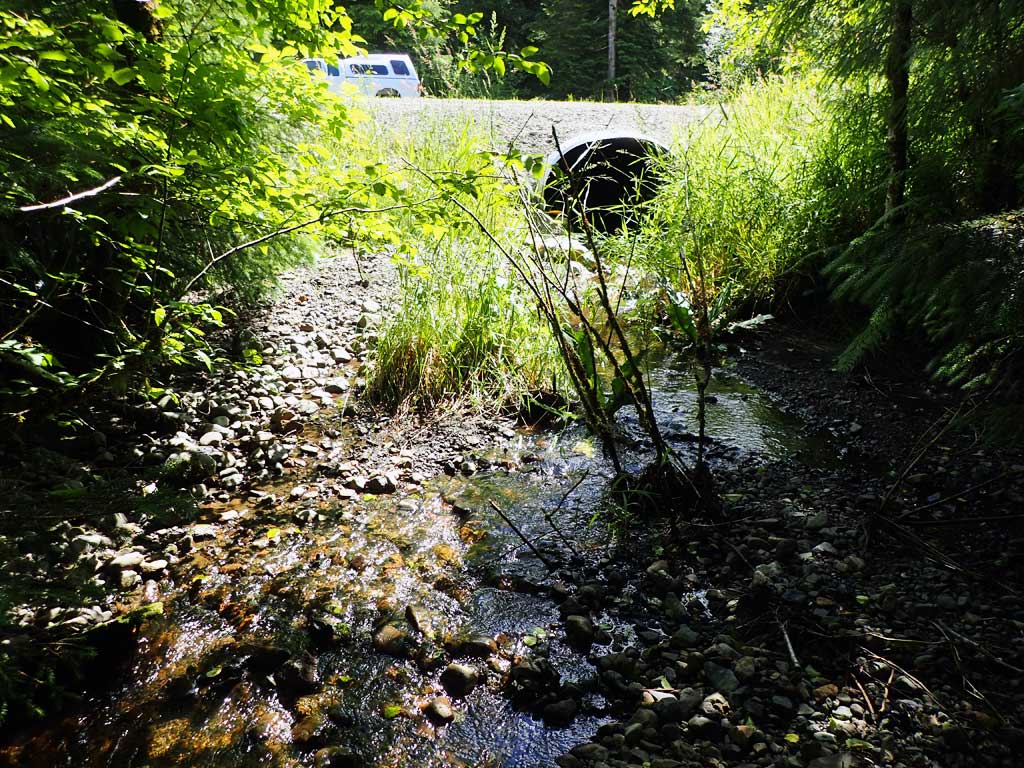
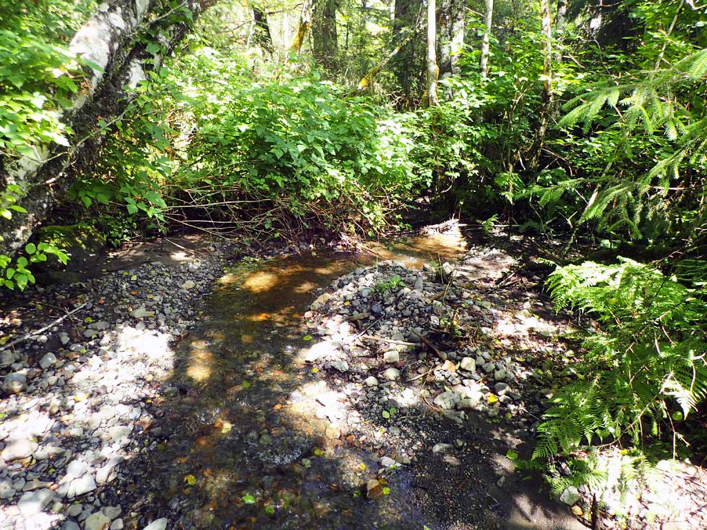
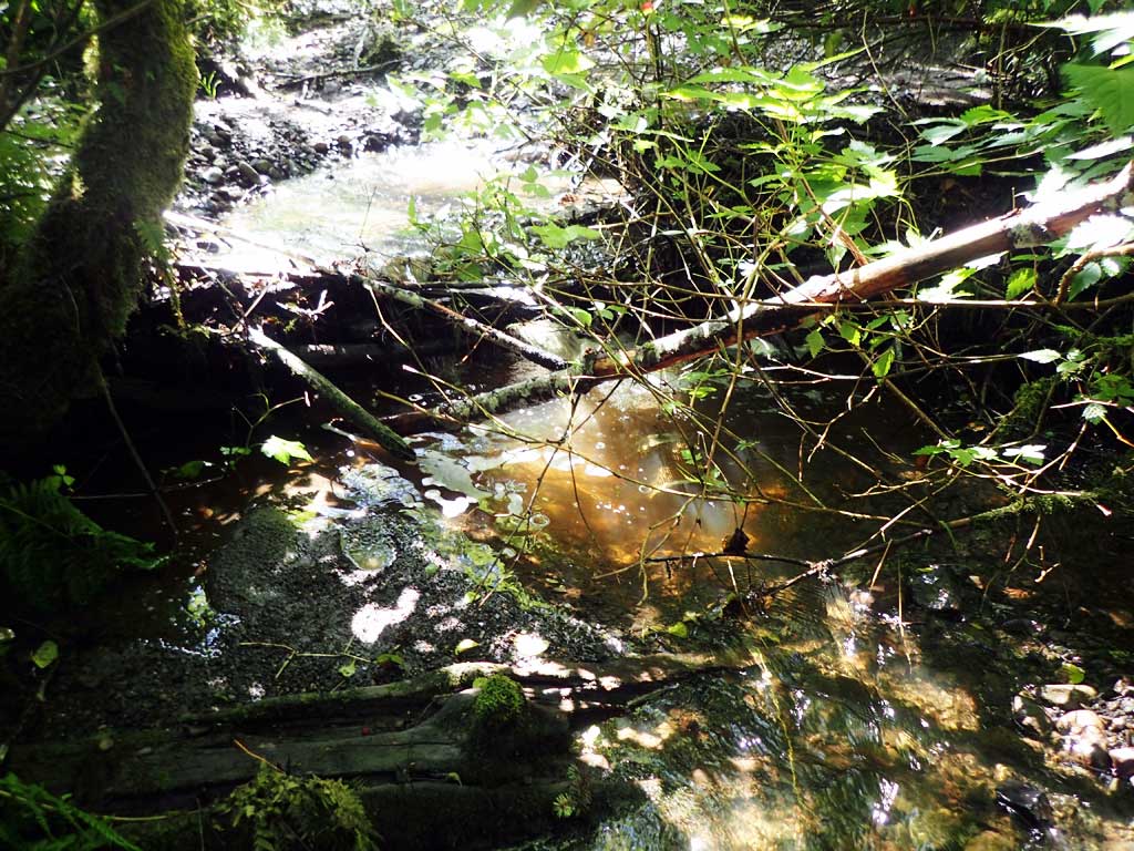
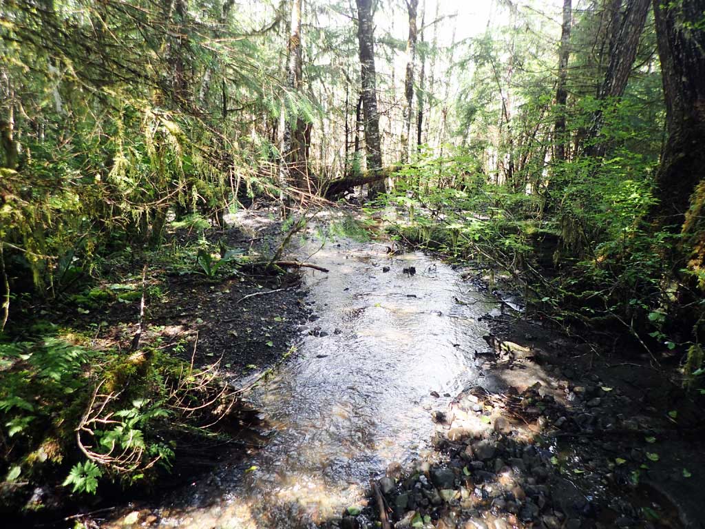
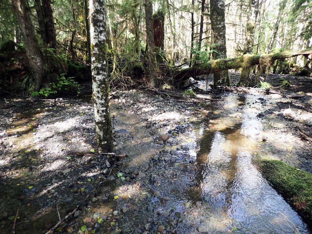
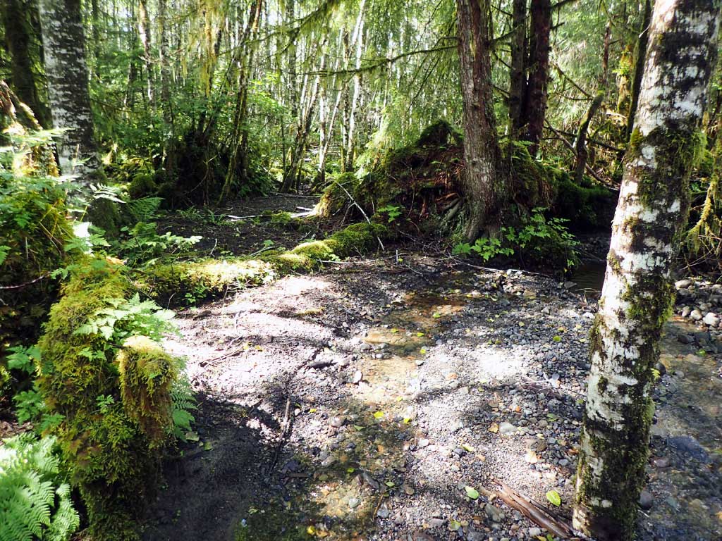
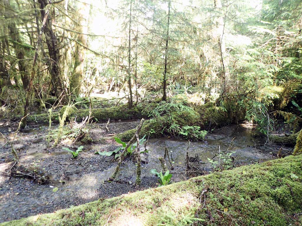
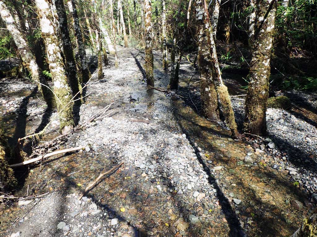
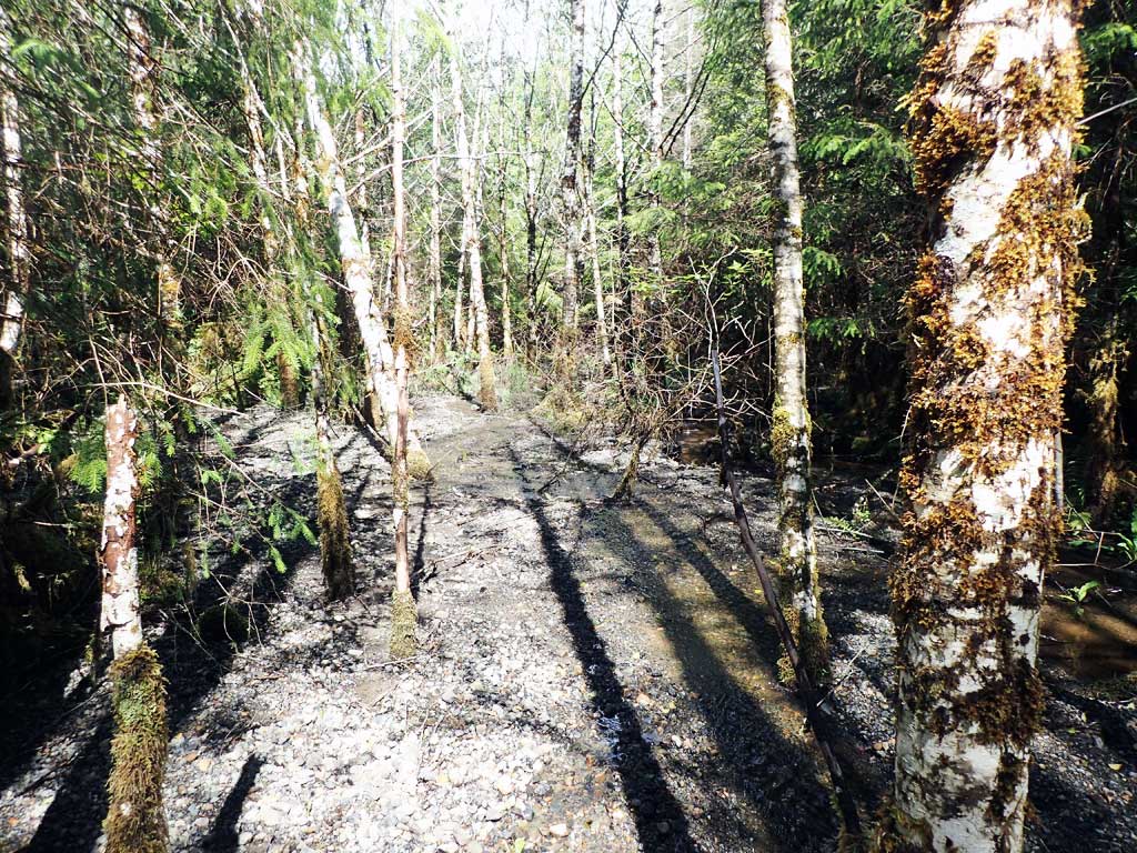
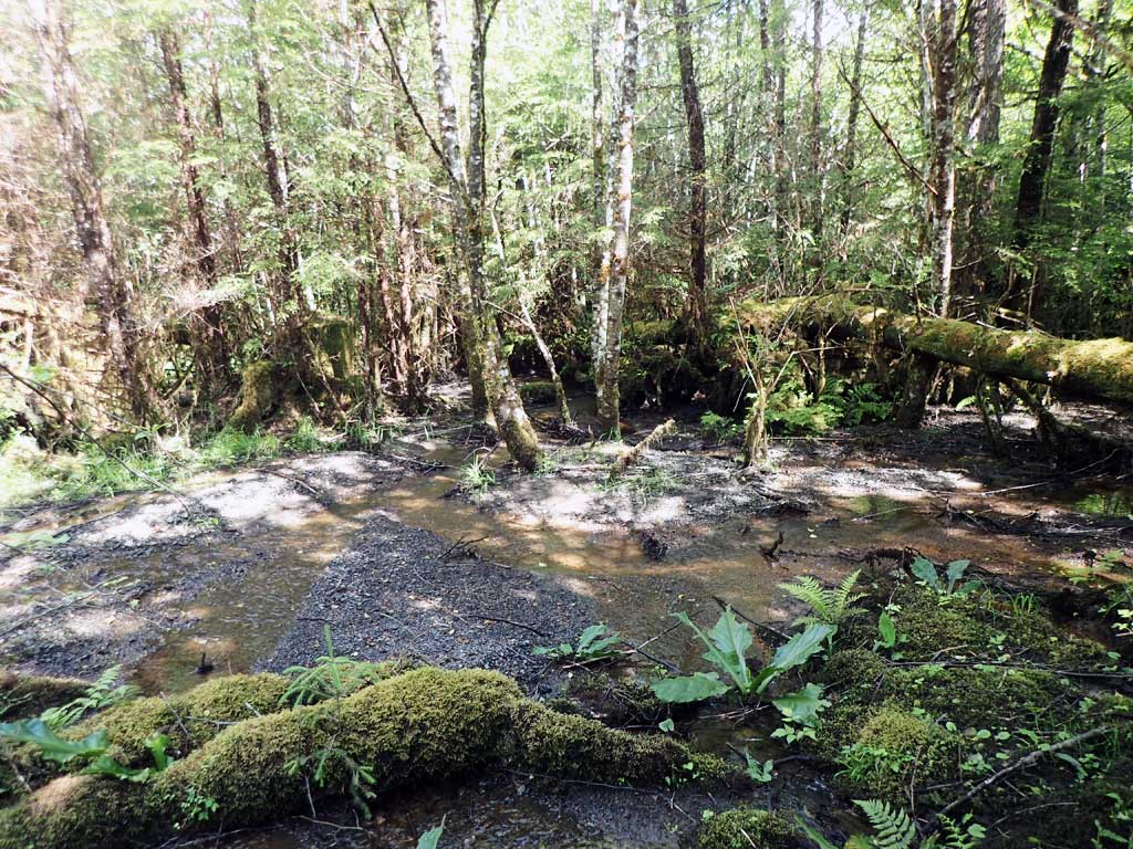
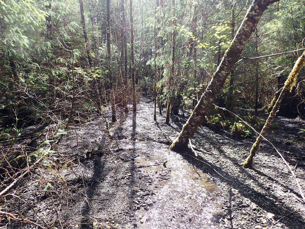
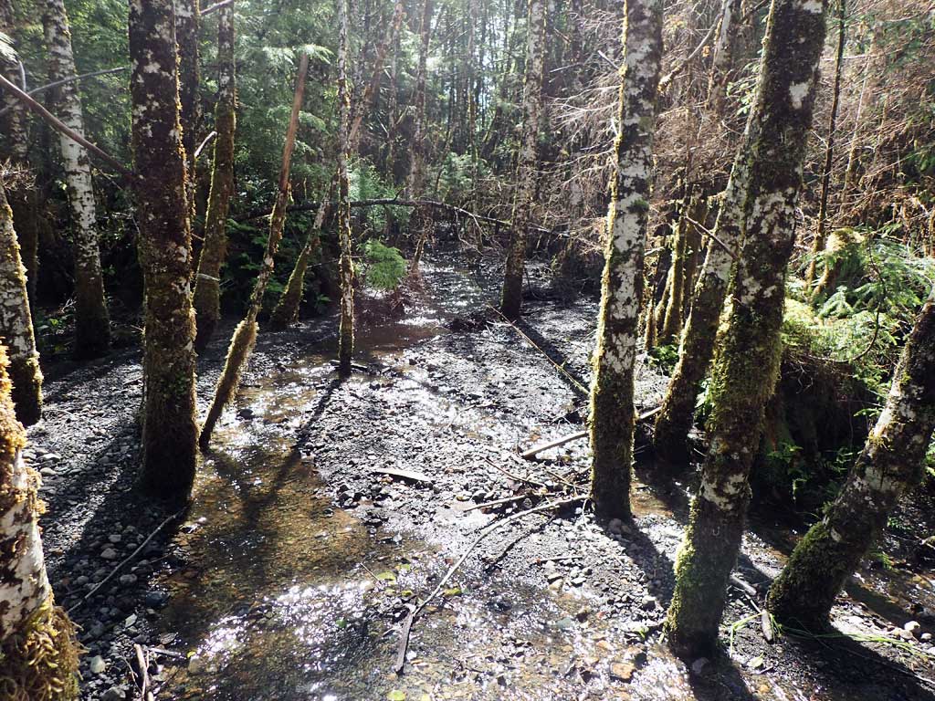
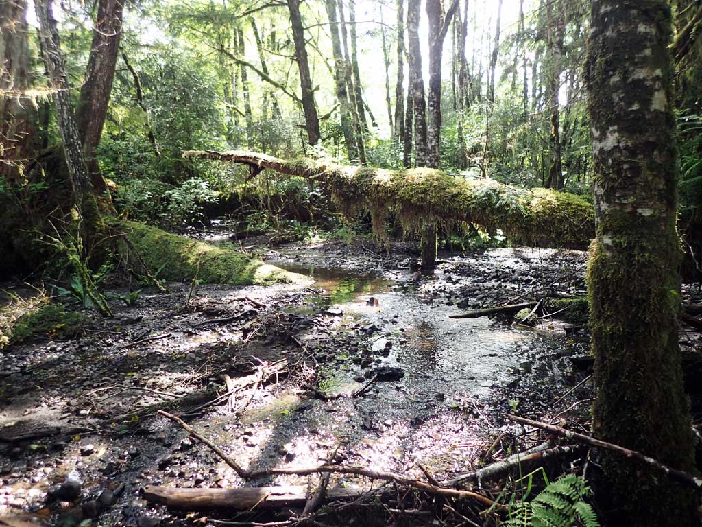
Comments: Close to being embedded. Mostly shallow riffle up and downstream. Upstream has 4ft high LWD step, splits around gravel bar. Downstream braided around gravel bars. Stream may have cut in upstream of culvert, slowing passage of substrate.
Culvert Measurements
| ID: 1 | Structure Type: Circular pipe (Structural aluminum plate) | Fish Passage Rating: | |||||||||||||||||||||||||||||||||||||||||
|
|
|
|||||||||||||||||||||||||||||||||||||||||
Comments: Close to being embedded. Culvert maybe slowing passage or substrate but not barrier right now. |
|||||||||||||||||||||||||||||||||||||||||||
Culvert Observations:
|
|||||||||||||||||||||||||||||||||||||||||||
Stream Measurements
|
|
| Stream Width Type | Distance From Crossing (ft) |
Stream Width (ft) |
|---|---|---|
| Downstream ordinary high water | 20.0 | 4.50 |
| Downstream ordinary high water | 40.0 | 3.50 |
| Downstream ordinary high water | 60.0 | 3.25 |
| Upstream ordinary high water | 30.0 | 5.00 |
| Upstream ordinary high water | 60.0 | 4.00 |
| Upstream ordinary high water | 80.0 | 4.75 |
Elevations
| Locator ID | Culvert Number |
River Distance (ft)1 |
Distance From Crossing (ft)2 |
Relative Elevation (ft) |
|---|---|---|---|---|
| Road Elev | 107.65 | |||
| D/S Grade Ctrl (Thalweg) | 0.00 | 95.48 | ||
| D/S Water Surface Elev | 0.00 | 95.66 | ||
| D/S Grade Ctrl (Thalweg) | 21.00 | 96.76 | ||
| D/S Water Surface Elev | 21.00 | 97.12 | ||
| D/S Tailcrest or 1st Thalweg | 64.00 | 98.75 | ||
| D/S Water Surface Elev | 64.00 | 98.92 | ||
| D/S Water Surface Elev | 70.00 | 98.87 | ||
| Max Pool Depth | 70.00 | 98.55 | ||
| Outlet Culvert Top | 80.00 | 104.59 | ||
| Outlet Invert (On substrate) | 80.00 | 99.06 | ||
| D/S Water Surface Elev | 80.00 | 99.16 | ||
| Inlet Culvert Invert | 161.00 | 101.33 | ||
| U/S Water Surface Elev | 161.00 | 101.35 | ||
| Inlet Culvert Top | 161.00 | 105.72 | ||
| U/S Grade Ctrl (Thalweg) | 170.00 | 101.42 | ||
| U/S Water Surface Elev | 170.00 | 101.62 | ||
| U/S Grade Ctrl (Thalweg) | 185.00 | 101.82 | ||
| U/S Water Surface Elev | 185.00 | 101.93 |
Notes:
- River distance is measured continuously throughout the survey reach along the thalweg of the stream.
- Measured from each end of the crossing along the thalweg of the stream.
Fish Sampling Efforts
| Gear Type: Minnow Trap (A) | Trap Duration(h): 1.7 | |
| Comments: 80ft upstream, no fish caught. | ||
| Gear Type: Minnow Trap (B) | Trap Duration(h): 1.5 | |
| Comments: 50ft downstream, two dollys | ||
Fish Observations
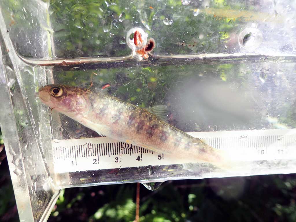
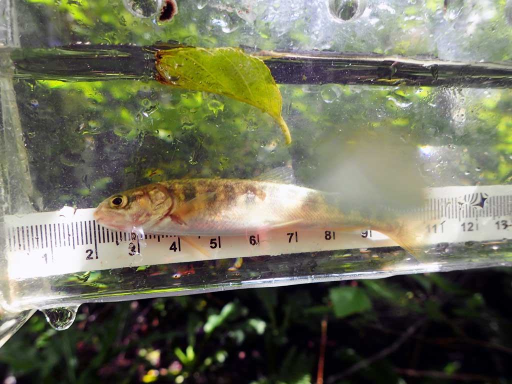
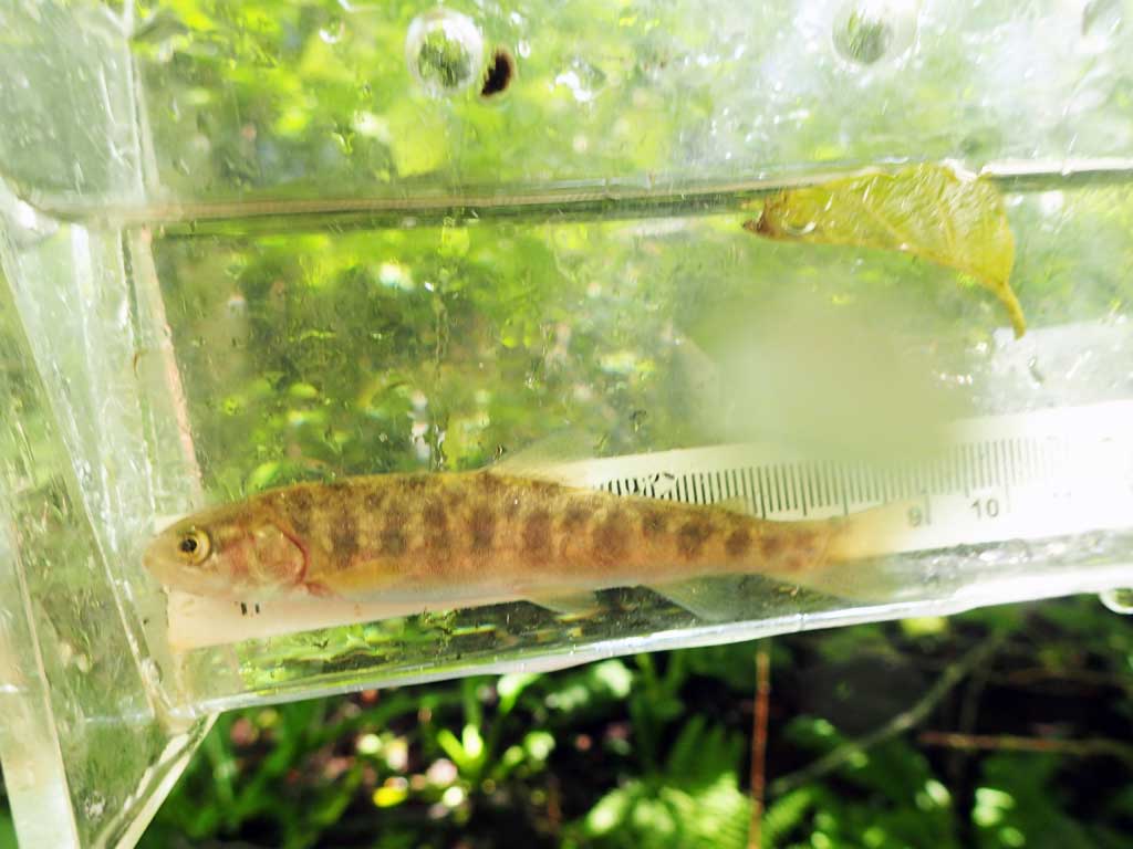
| Species: juvenile Dolly Varden | Life History: | ||
| Total Fish Observed: 2 | Fish Measured: 2 | Fork Lengths (mm) Min: 85 Max: 95 Mean: 90 | |
| Collected/Observed by Gear Type: Minnow Trap (2) | |||
Photos


Questions or comments about this report can be directed to dfg.dsf.webmaster@alaska.gov