Fish Passage Site 10103532
Coordinates (dec. deg.): 55.56462°, -133.07080°
Legal Description: C073S081E02
Region: Southeast
Road Name: Big Salt Lake Road
Datum: NAD83
Quad Name / ITM: Craig C-4
AWC Stream #: 103-60-10450-2003
Stream Name: Unnamed
Elevation:
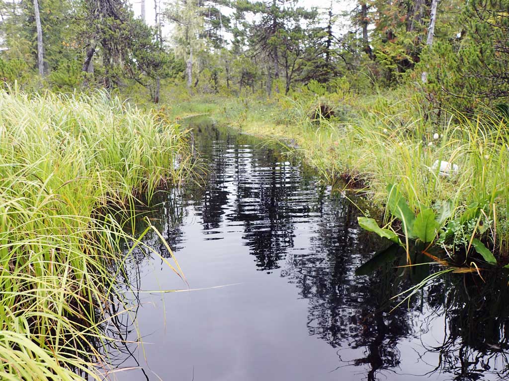
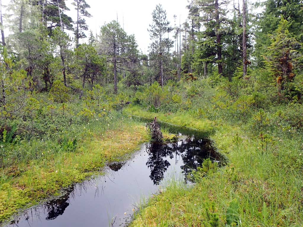
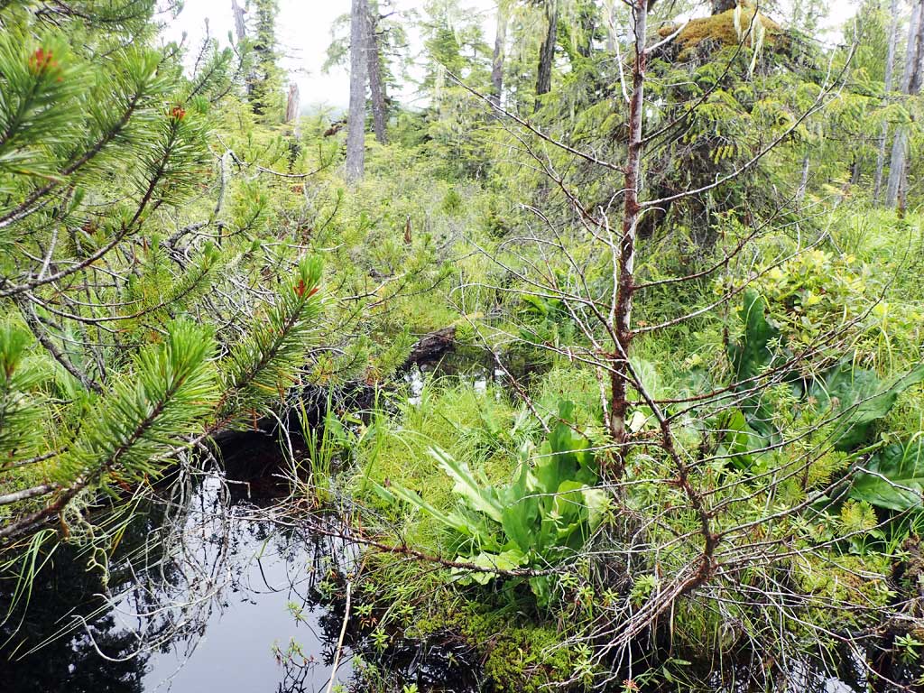
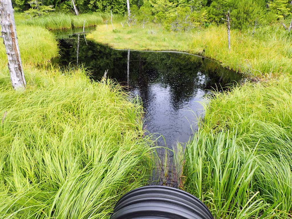
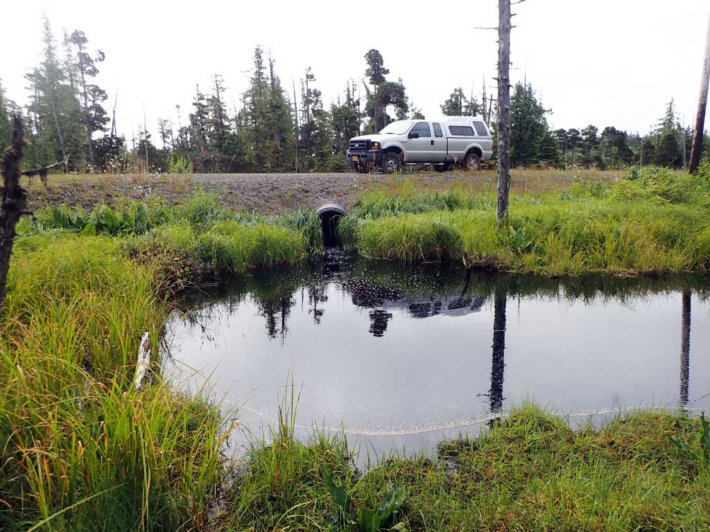
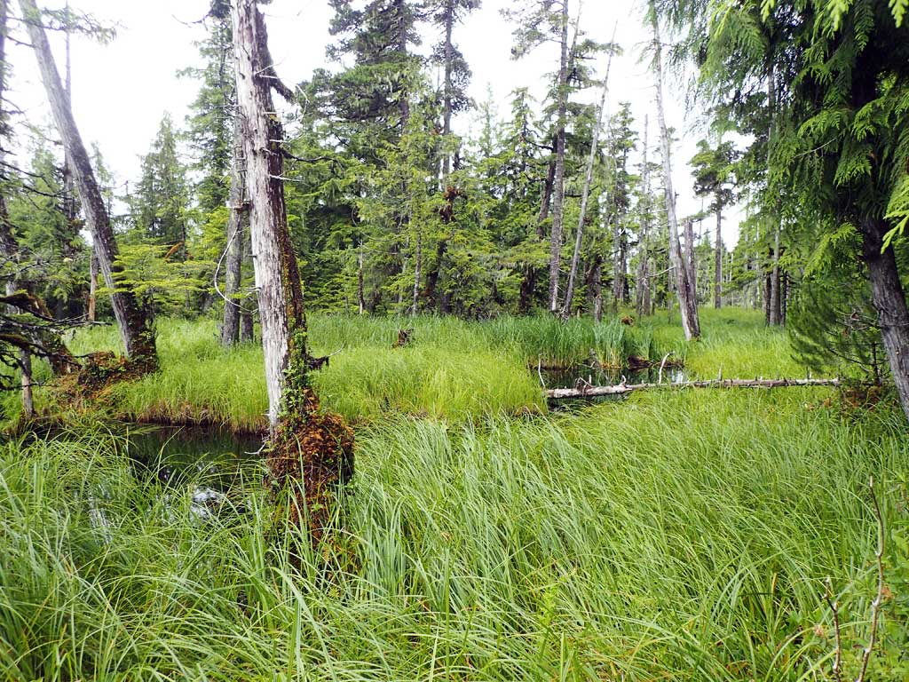
Site Comments: Near milepost 1. Beaver dam upstream 120ft then channel splits. Deep channel. Beaver dam 80ft downstream. Fish rising in downstream pool. Caught one dolly varden.Water surface upstream and downstream looks flat.
Survey SEA17-BSL15
Observers: Elizabeth Flory, Kelly Petty
Overall Fish Passage Rating:
Tidal: No
Backwatered: No
Step Pools: No
Construction Year:
Site Observations:
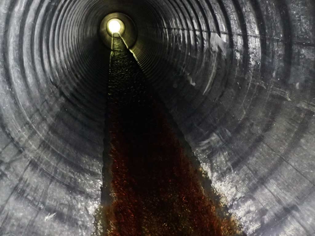
- Culvert gradient gray
- Beaver Activity
- Inlet perch
Comments: Beaver dams.
Culvert Measurements
| ID: 1 | Structure Type: Circular pipe (Corrugated plastic) | Fish Passage Rating: | |||||||||||||||||||||||||||||||||||||||||
|
|
|
|||||||||||||||||||||||||||||||||||||||||
Comments: Black plastic pipe. Inlet and Outlet look set too high. First resting at inlet. Water surface gradient though culvert 0.89%. Top of culvert gradient 0.98%. |
|||||||||||||||||||||||||||||||||||||||||||
Culvert Observations:
|
|||||||||||||||||||||||||||||||||||||||||||
Stream Measurements
|
|
| Stream Width Type | Distance From Crossing (ft) |
Stream Width (ft) |
|---|---|---|
| Upstream ordinary high water | 60.0 | 3.50 |
| Upstream ordinary high water | 80.0 | 3.25 |
| Upstream ordinary high water | 110.0 | 4.50 |
Elevations
| Locator ID | Culvert Number |
River Distance (ft)1 |
Distance From Crossing (ft)2 |
Relative Elevation (ft) |
|---|---|---|---|---|
| Road Elev | 99.93 | |||
| D/S Water Surface Elev | 0.00 | 93.42 | ||
| D/S Grade Ctrl (Thalweg) | 0.00 | 92.56 | ||
| Outlet Culvert Top | 6.00 | 96.41 | ||
| D/S Water Surface Elev | 6.00 | 93.43 | ||
| Outlet Invert (On pipe) | 6.00 | 93.26 | ||
| Inlet Culvert Invert (On pipe) | 99.00 | 93.96 | ||
| U/S Water Surface Elev | 99.00 | 94.26 | ||
| Inlet Culvert Top | 99.00 | 97.37 | ||
| U/S Thalweg | 106.00 | 93.11 | ||
| U/S Water Surface Elev | 106.00 | 94.26 |
Notes:
- River distance is measured continuously throughout the survey reach along the thalweg of the stream.
- Measured from each end of the crossing along the thalweg of the stream.
Fish Sampling Efforts
| Gear Type: Minnow Trap (A) | Trap Duration(h): 1.5 | |
| Comments: 20ft upstream, no fish caught | ||
| Gear Type: Minnow Trap (B) | Trap Duration(h): 1.7 | |
| Comments: 20ft downstream, one dolly varden captured | ||
Fish Observations
| Species: juvenile Dolly Varden | Life History: | ||
| Total Fish Observed: 1 | Fish Measured: 1 | Fork Lengths (mm) Min: 114 Max: 114 Mean: 114 | |
| Collected/Observed by Gear Type: Downstream Minnow Trap (1) | |||
Photos


Questions or comments about this report can be directed to dfg.dsf.webmaster@alaska.gov