Fish Passage Site 10103529
Coordinates (dec. deg.): 55.65897°, -132.91847°
Legal Description: C072S081E01
Region: Southeast
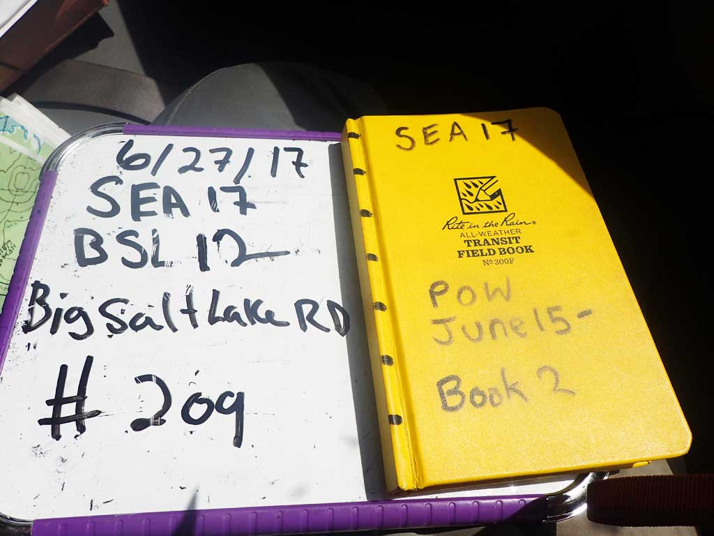
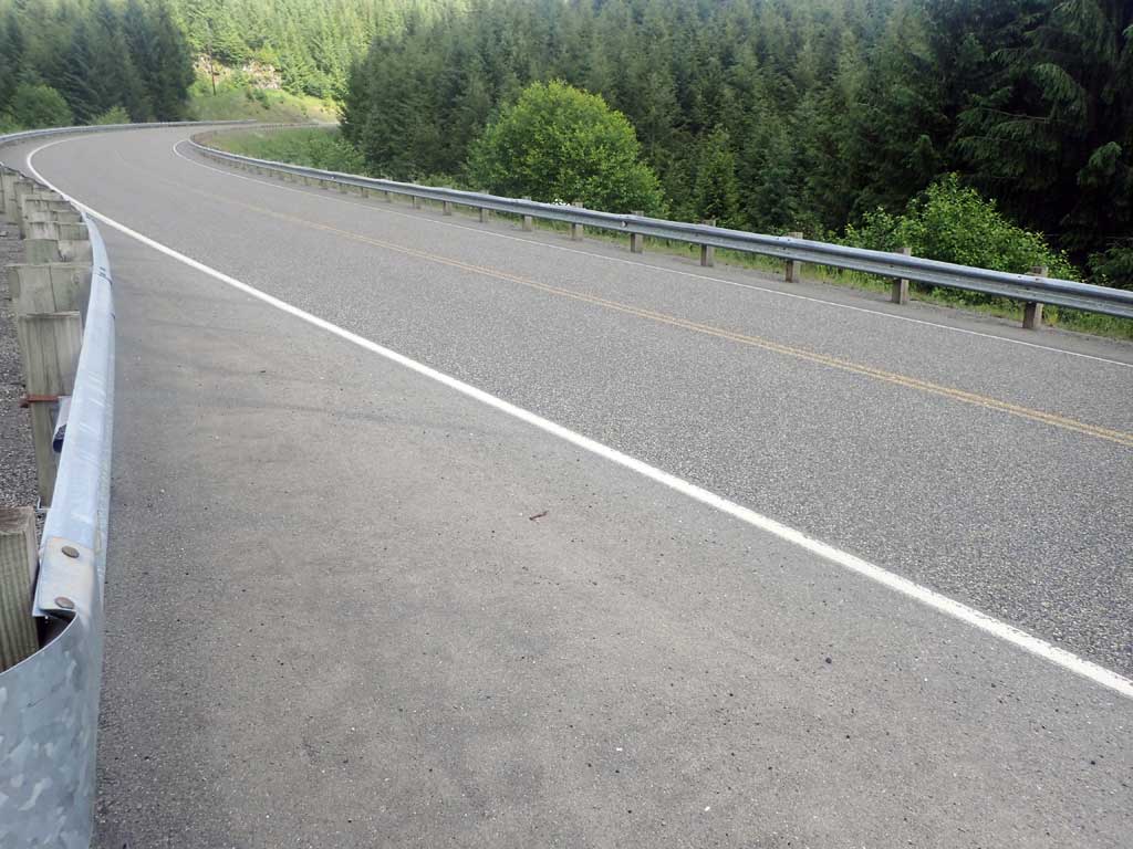
Road Name: Big Salt Lake Road
Datum: NAD83
Quad Name / ITM: Craig C-3
AWC Stream #: 103-60-10290-2006-3013
Stream Name: Unnamed
Elevation:
Site Comments: None
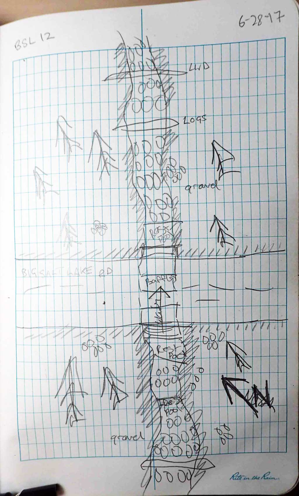
Survey SEA17-BSL12
Observers: Elizabeth Flory, Kelly Petty
Overall Fish Passage Rating:
Tidal: No
Backwatered: No
Step Pools: No
Construction Year:
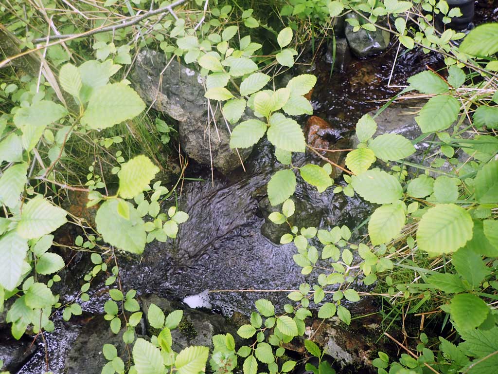
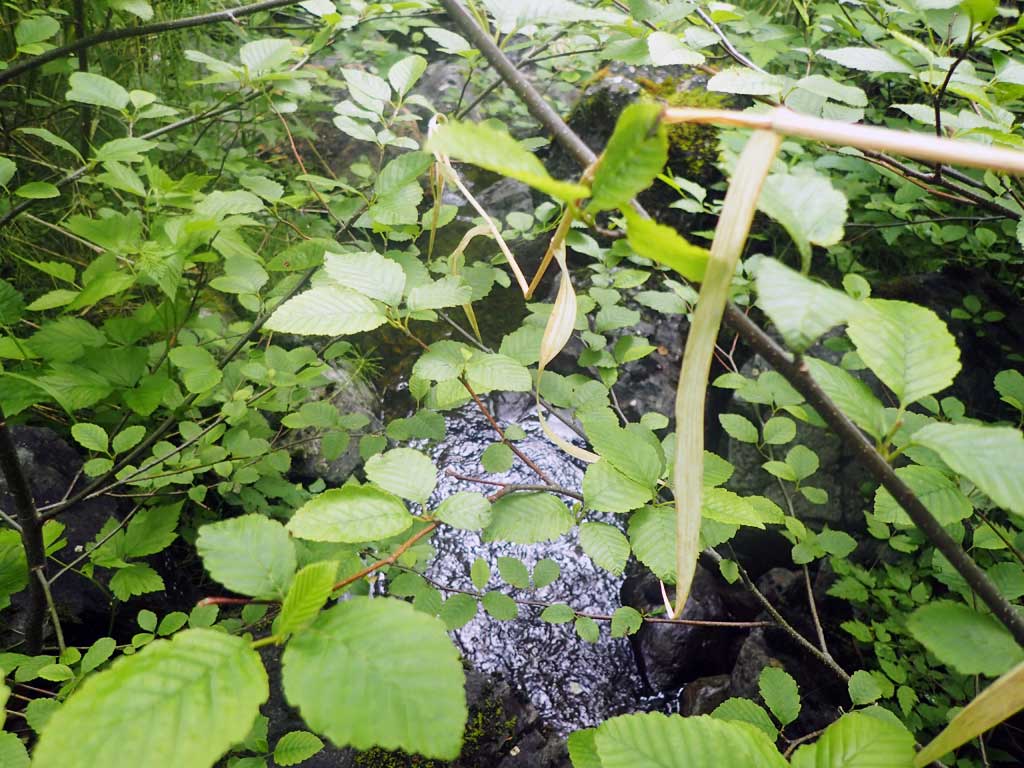
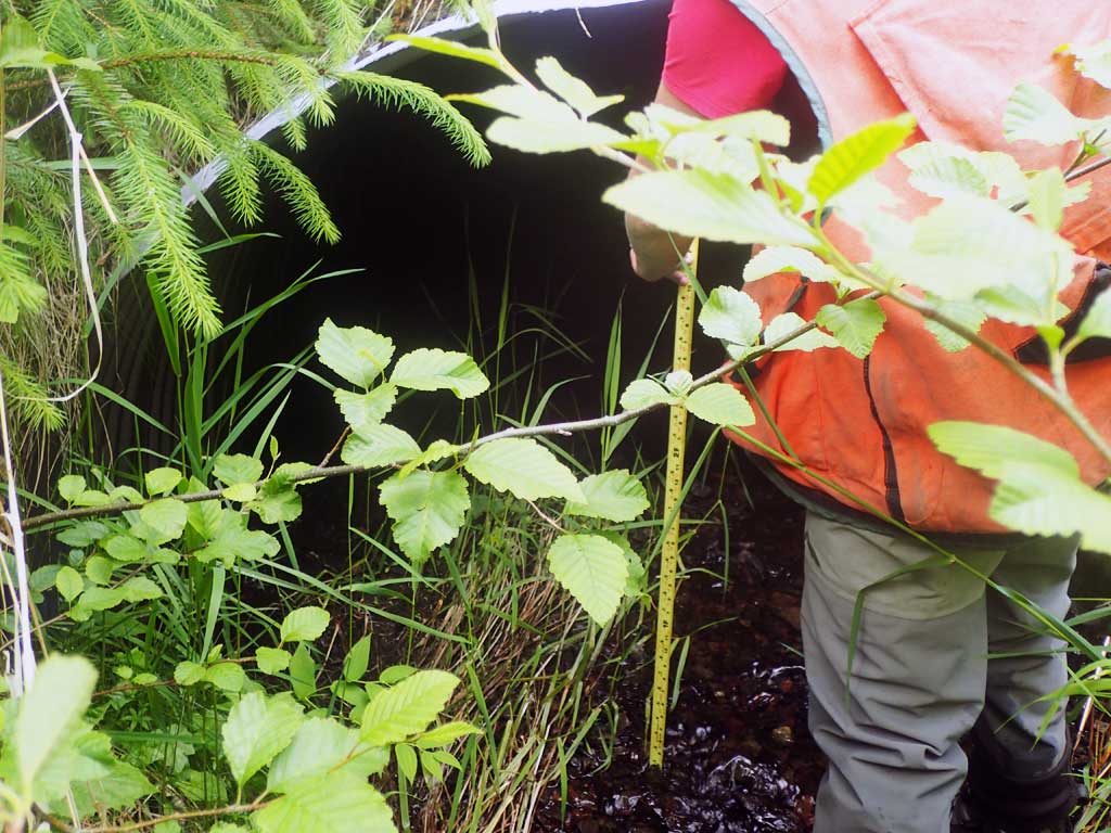
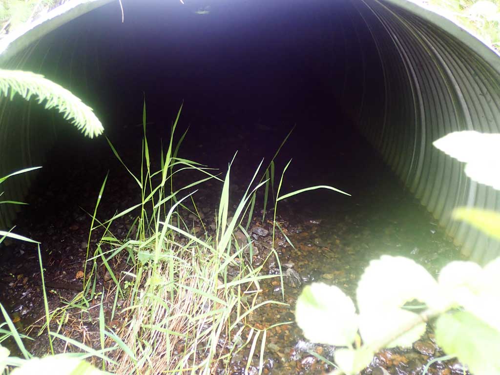
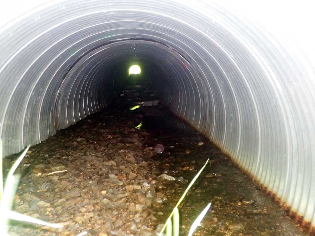
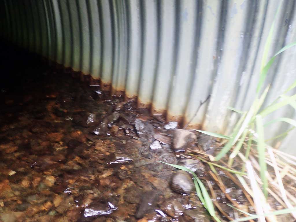
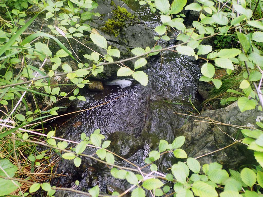
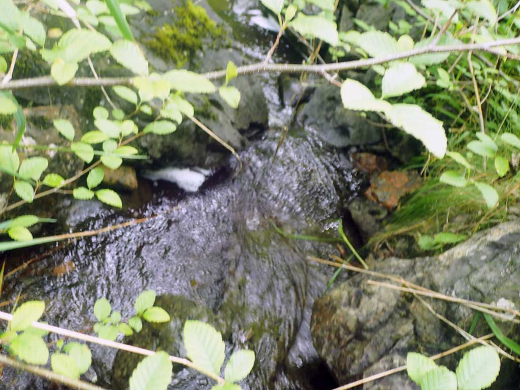
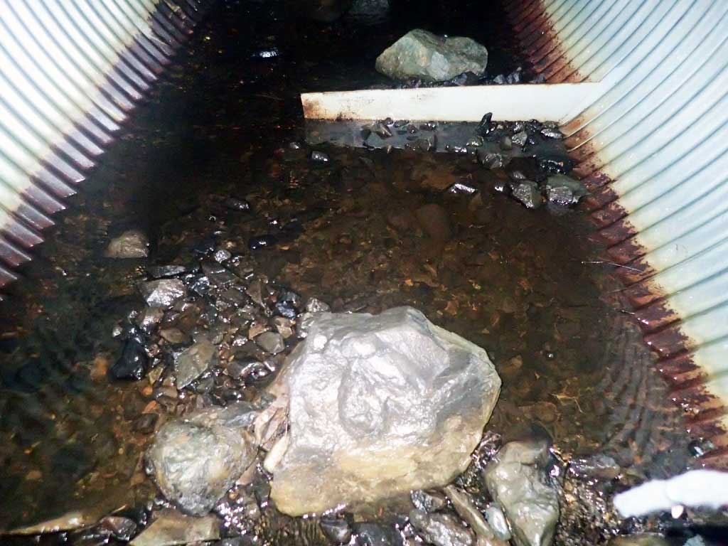
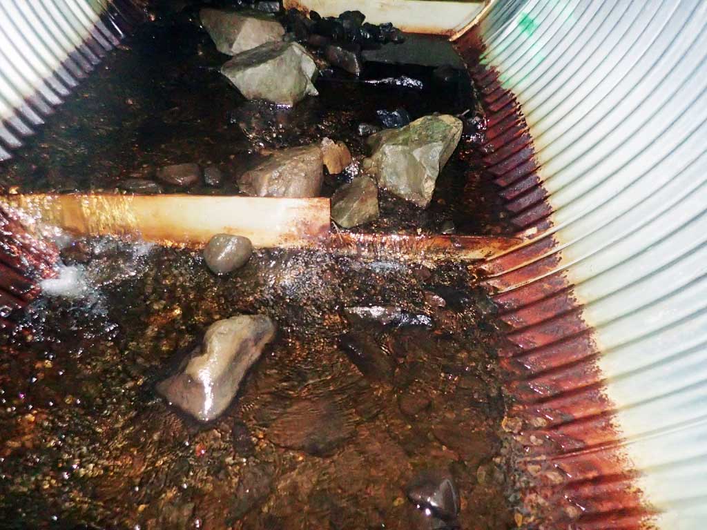
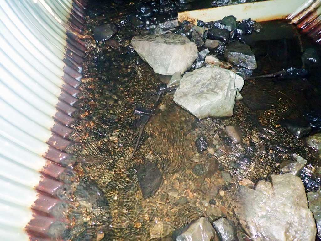
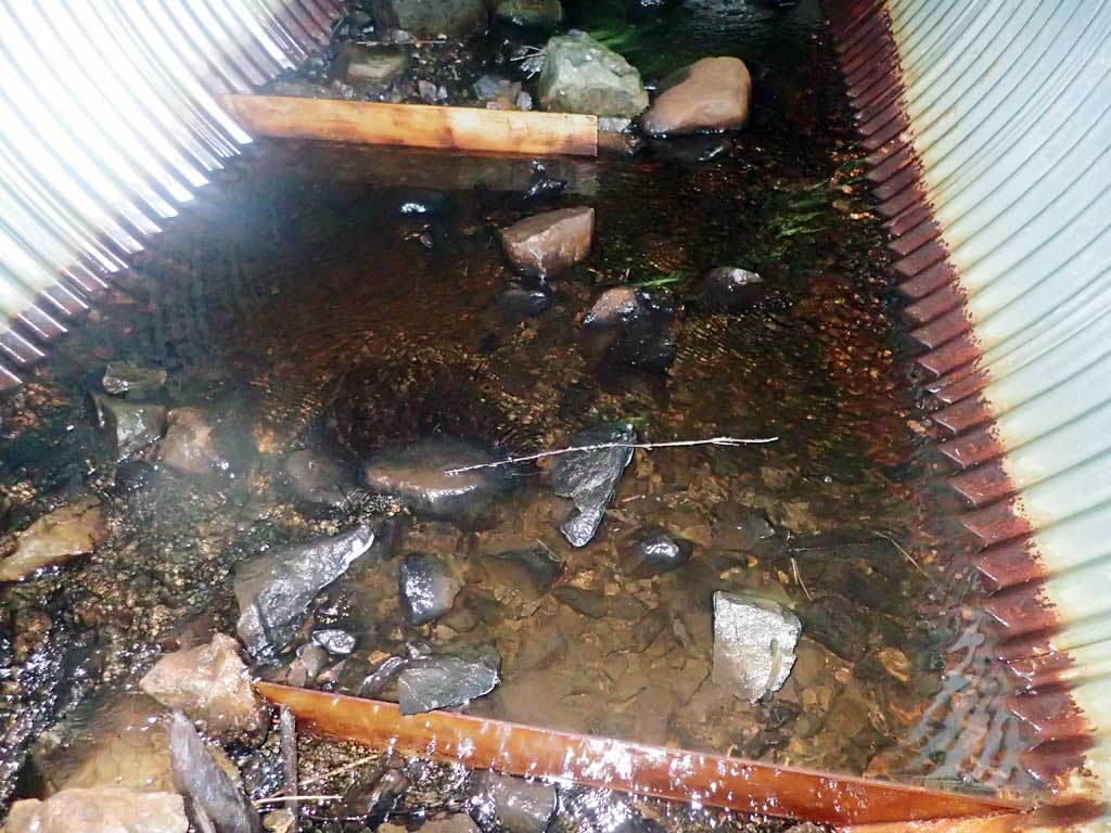
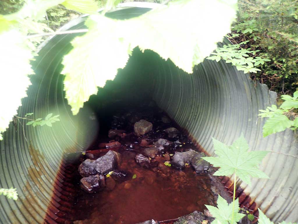
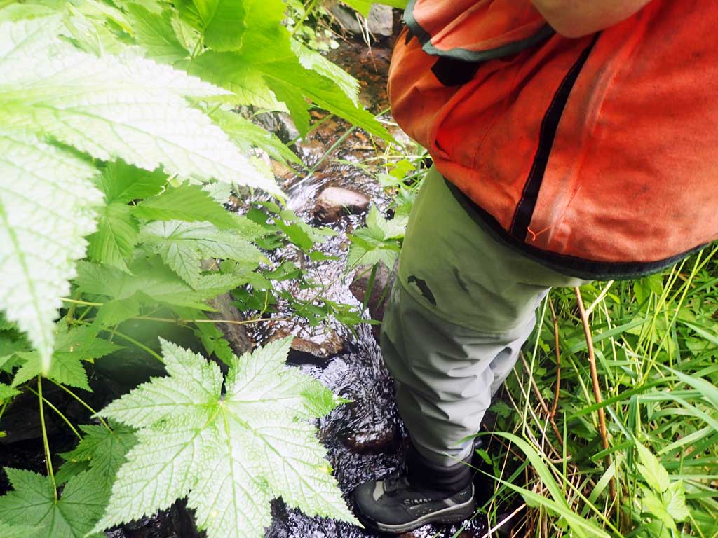
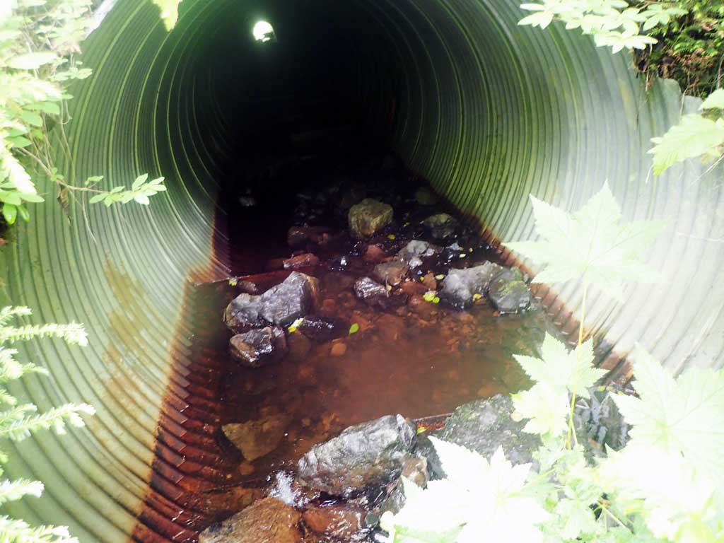
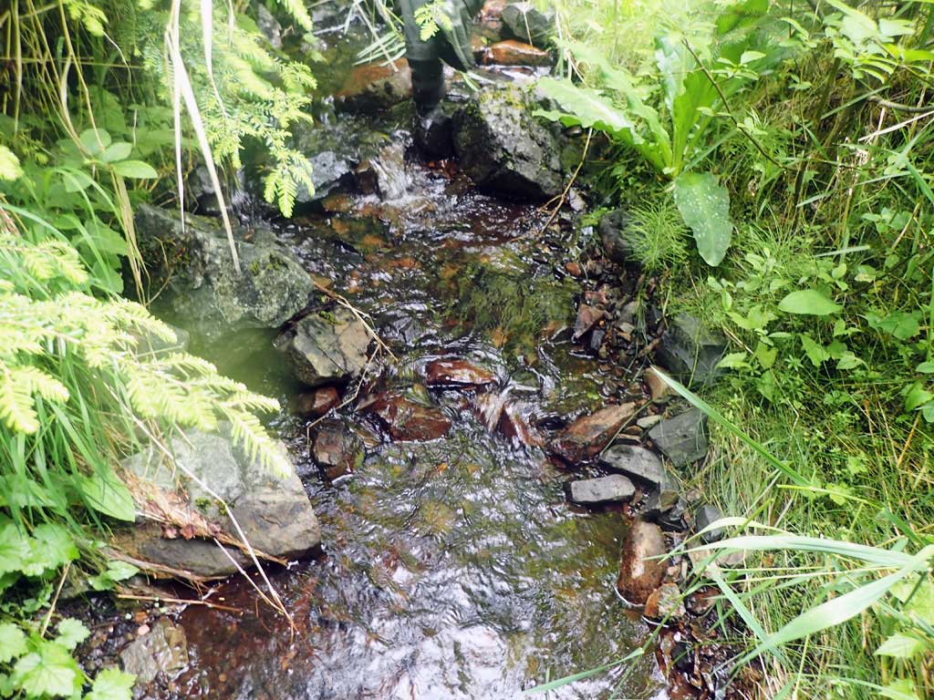
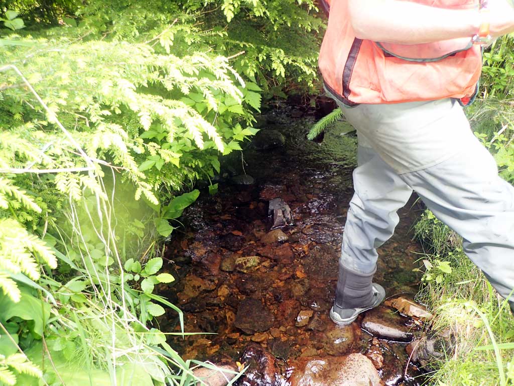
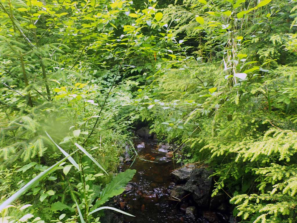
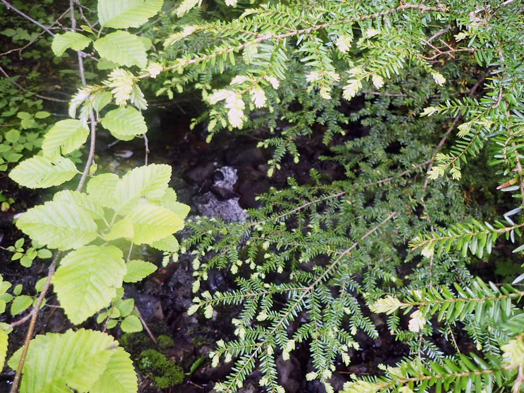
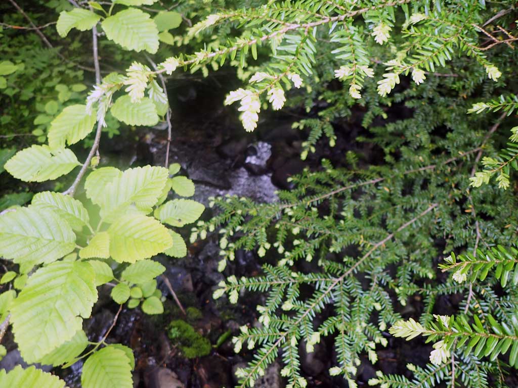
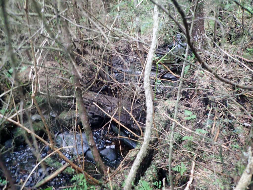
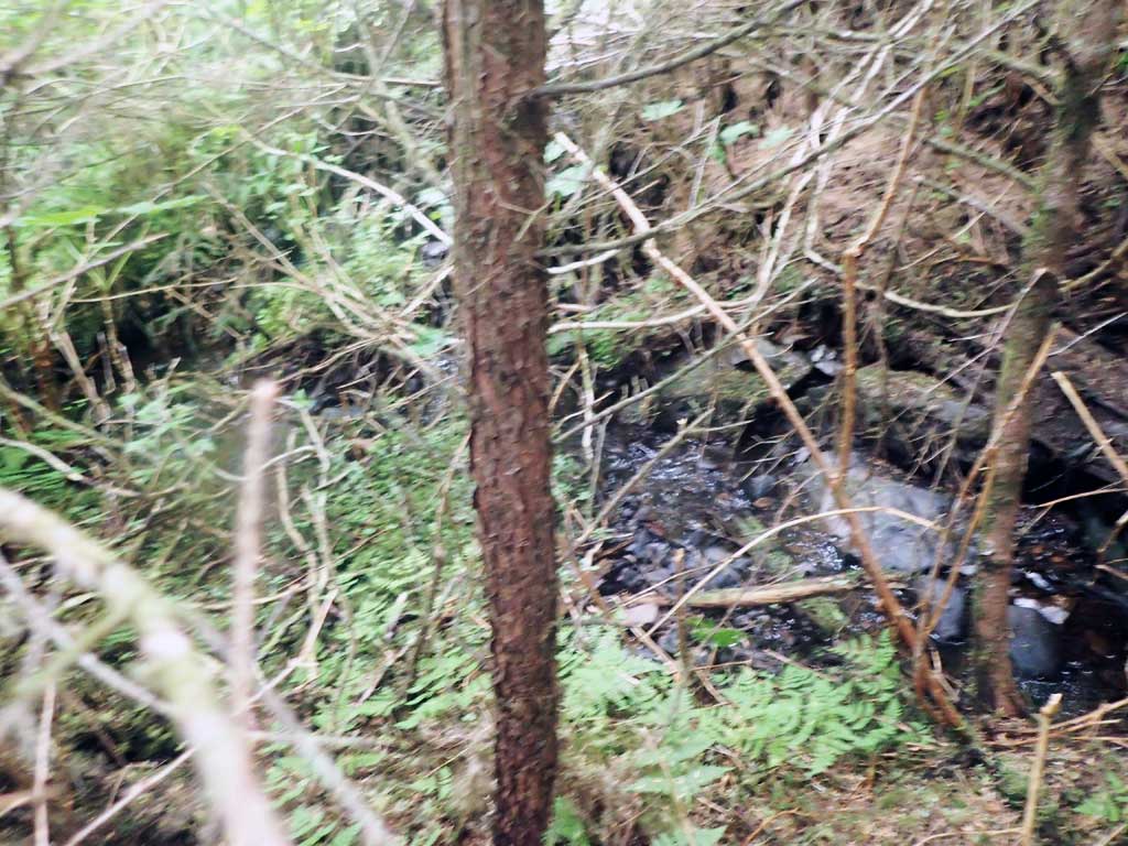
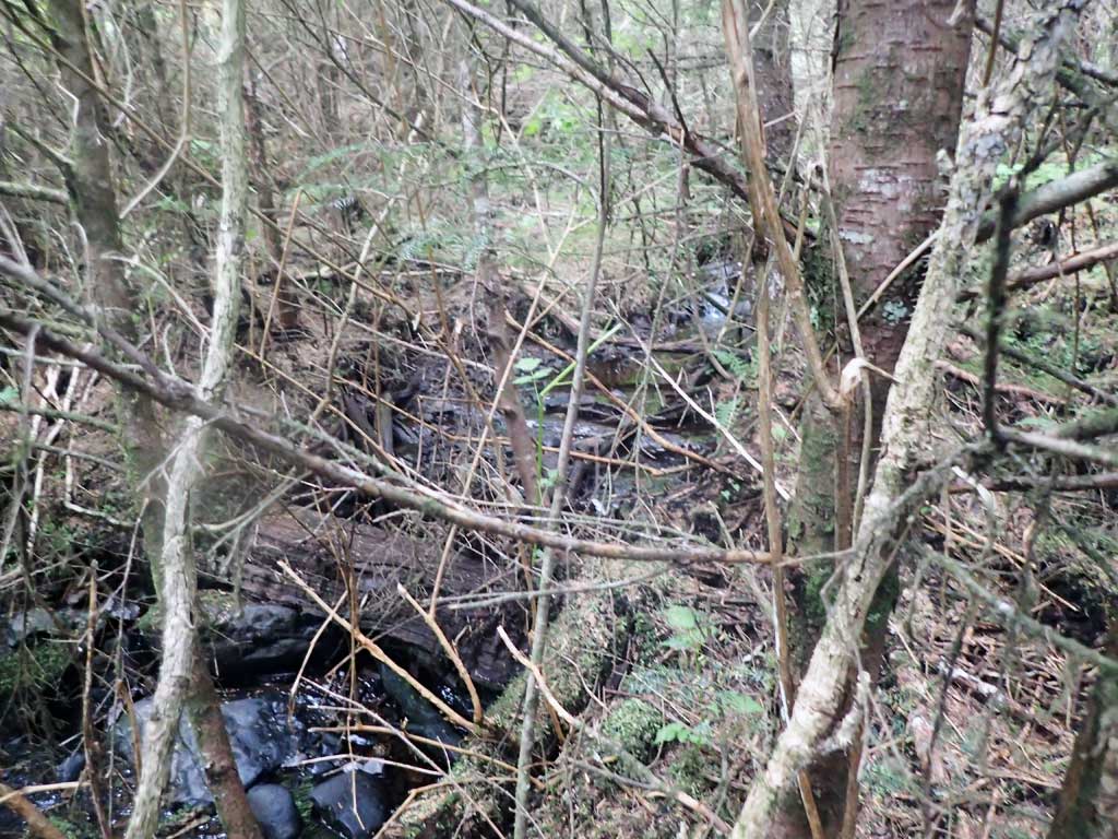
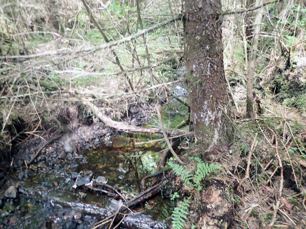
Comments: Baffled. No survey, too steep and brushy to be safe. 5 piles of bear poop around outlet and inlet. GPS recorded at outlet. High and steep getting down from road. Lots of small spruce. Upstream is small and splits into two channels 150ft upstream. Mostly shallow riffle with gravel. A few small pools with large woody debris. Lots of sediment at outfall.
Culvert Measurements
| ID: 1 | Structure Type: Circular pipe (Corrugated steel) | Fish Passage Rating: | |||||||||||||||||||||||||||||||||||||||||
|
|
|
|||||||||||||||||||||||||||||||||||||||||
Comments: Large boulders inside pipe as well as baffles. Long pipe. Possible to walk through, but not easy. No traps set. |
|||||||||||||||||||||||||||||||||||||||||||
Stream Measurements
|
|
| Stream Width Type | Distance From Crossing (ft) |
Stream Width (ft) |
|---|---|---|
| Downstream ordinary high water | 40.0 | 4.50 |
| Upstream ordinary high water | 80.0 | 4.00 |
| Upstream ordinary high water | 100.0 | 5.00 |
| Upstream ordinary high water | 120.0 | 3.50 |
Elevations
No elevation data available.
Fish Sampling Efforts
No fish sampling occurred during this survey.
Fish Observations
No fish observations occurred during this survey.
Photos
Questions or comments about this report can be directed to dfg.dsf.webmaster@alaska.gov