Fish Passage Site 10103528
Coordinates (dec. deg.): 55.66260°, -132.90491°
Legal Description: C072S082E06
Region: Southeast
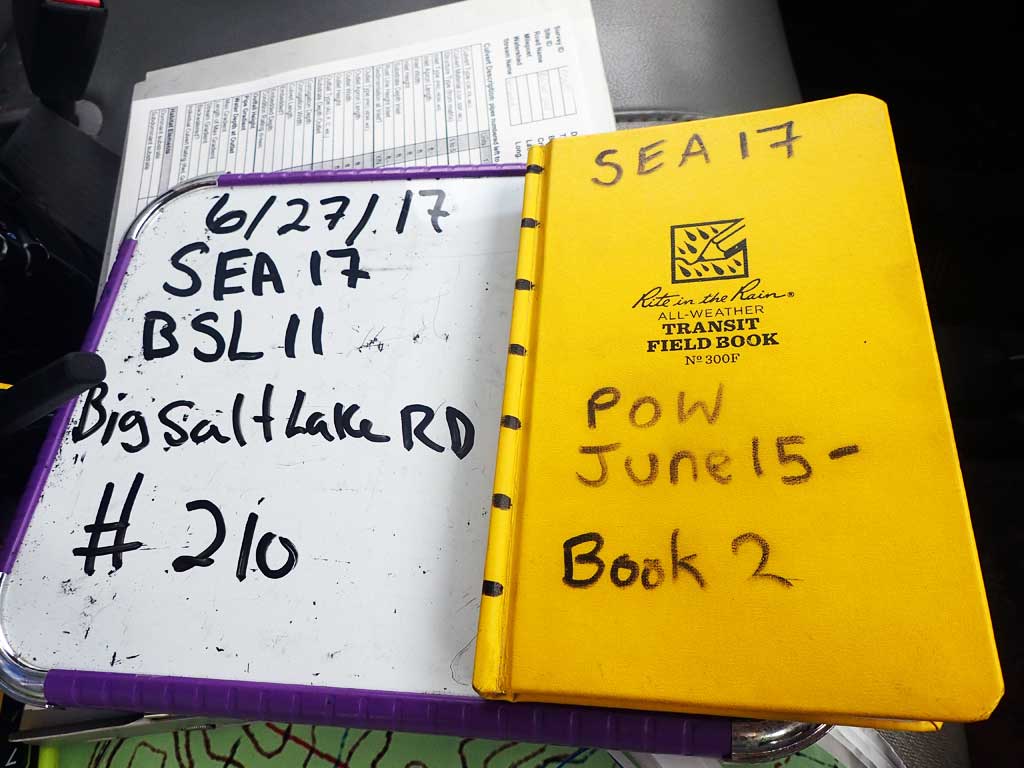
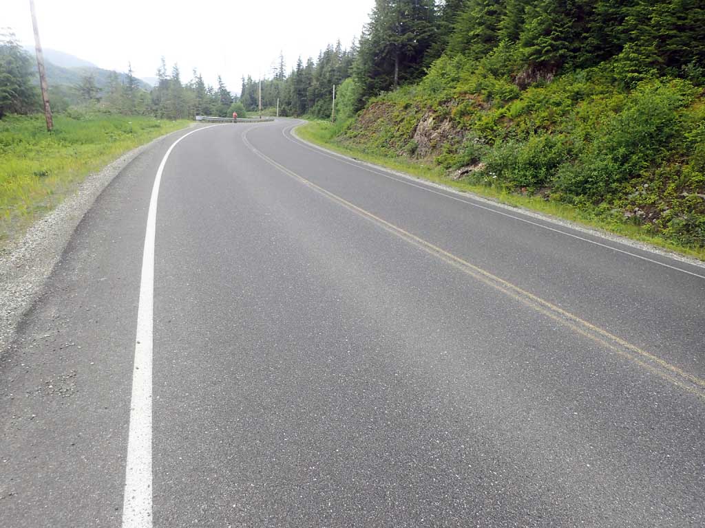
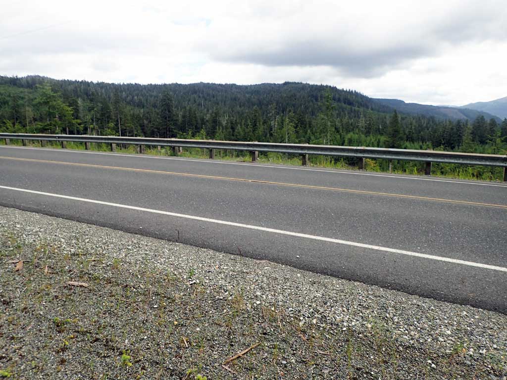
Road Name: Big Salt Lake Road
Datum: NAD83
Quad Name / ITM: Craig C-3
AWC Stream #:
Stream Name: Unnamed
Elevation:
Site Comments: None
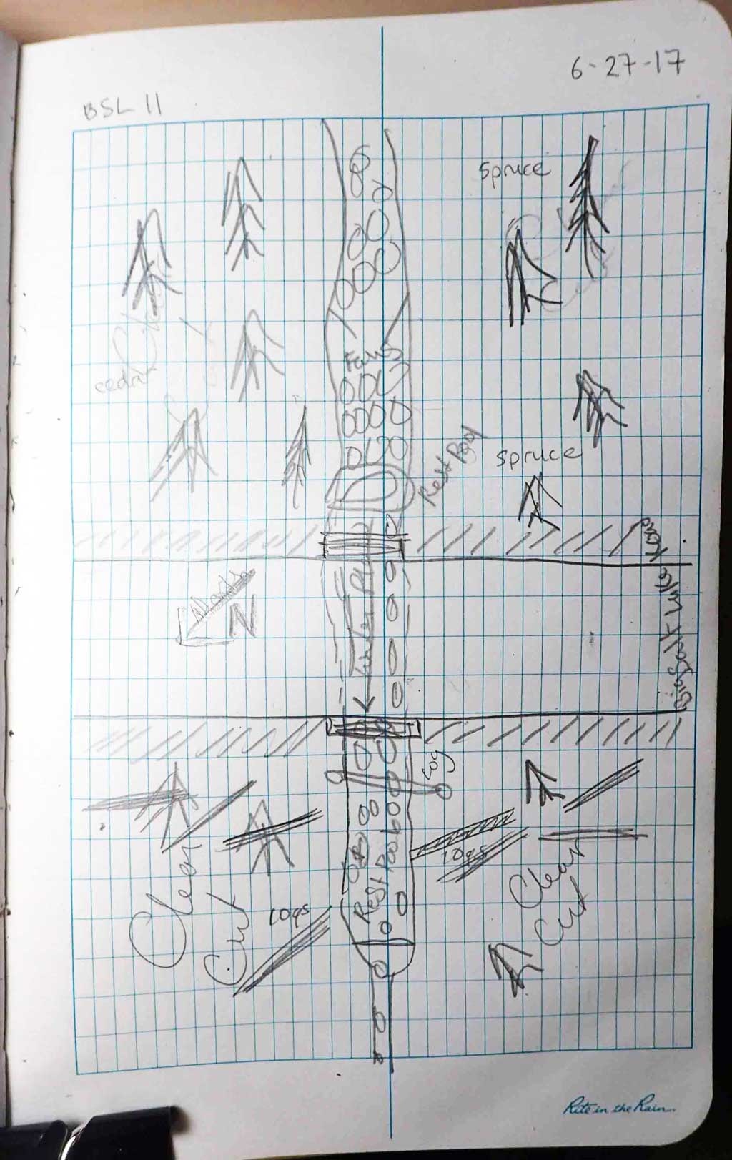
Survey SEA17-BSL11
Observers: Elizabeth Flory, Kelly Petty
Overall Fish Passage Rating:
Tidal: No
Backwatered: No
Step Pools: No
Construction Year:
Site Observations:
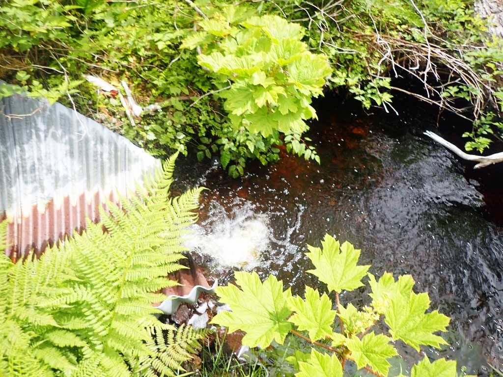
- Outfall height red
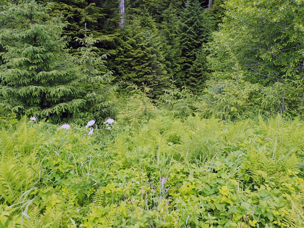
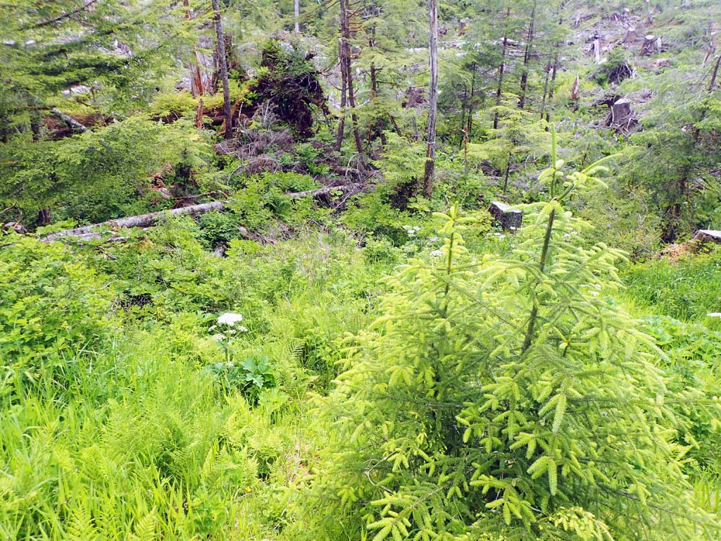
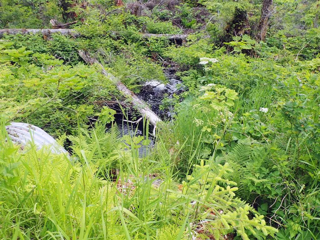
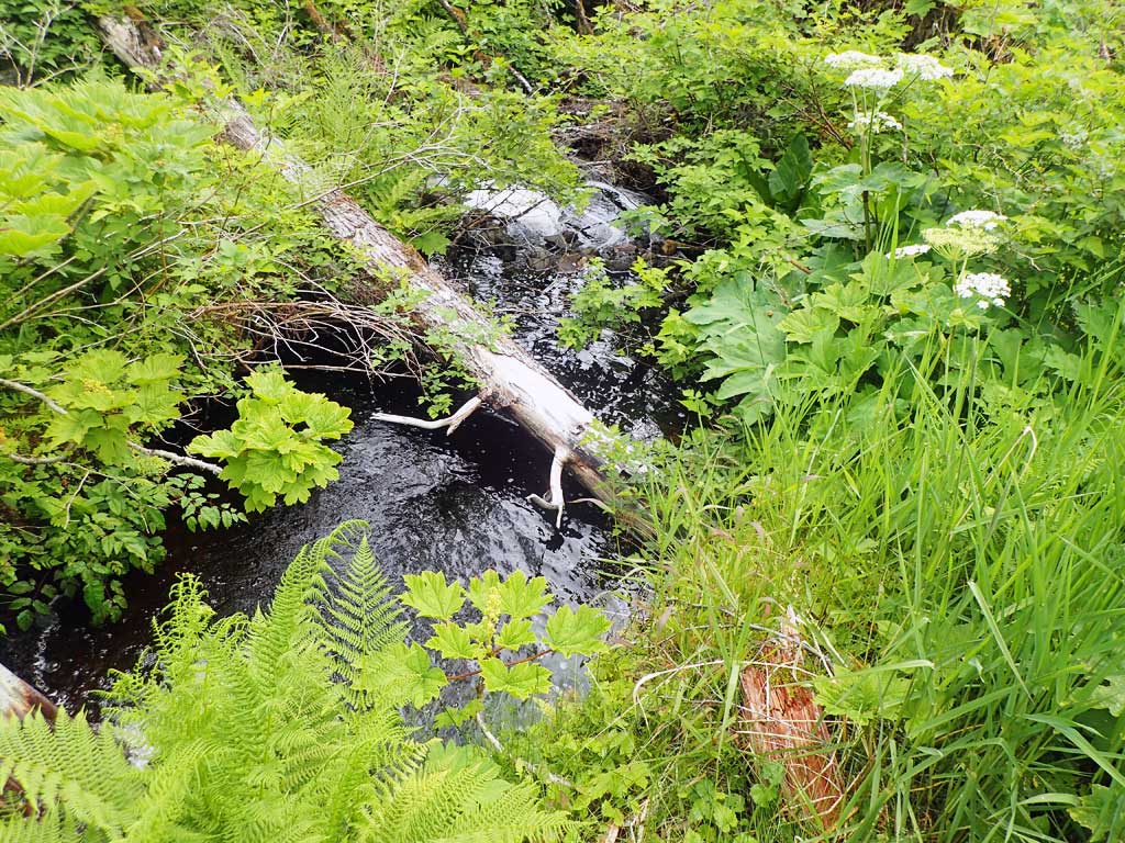
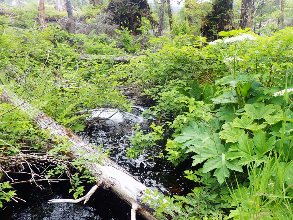
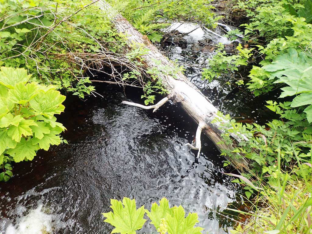
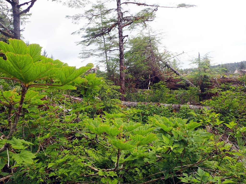
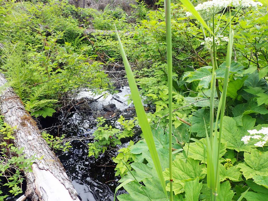
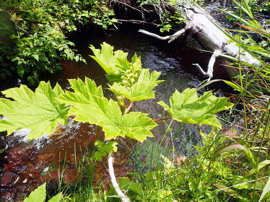
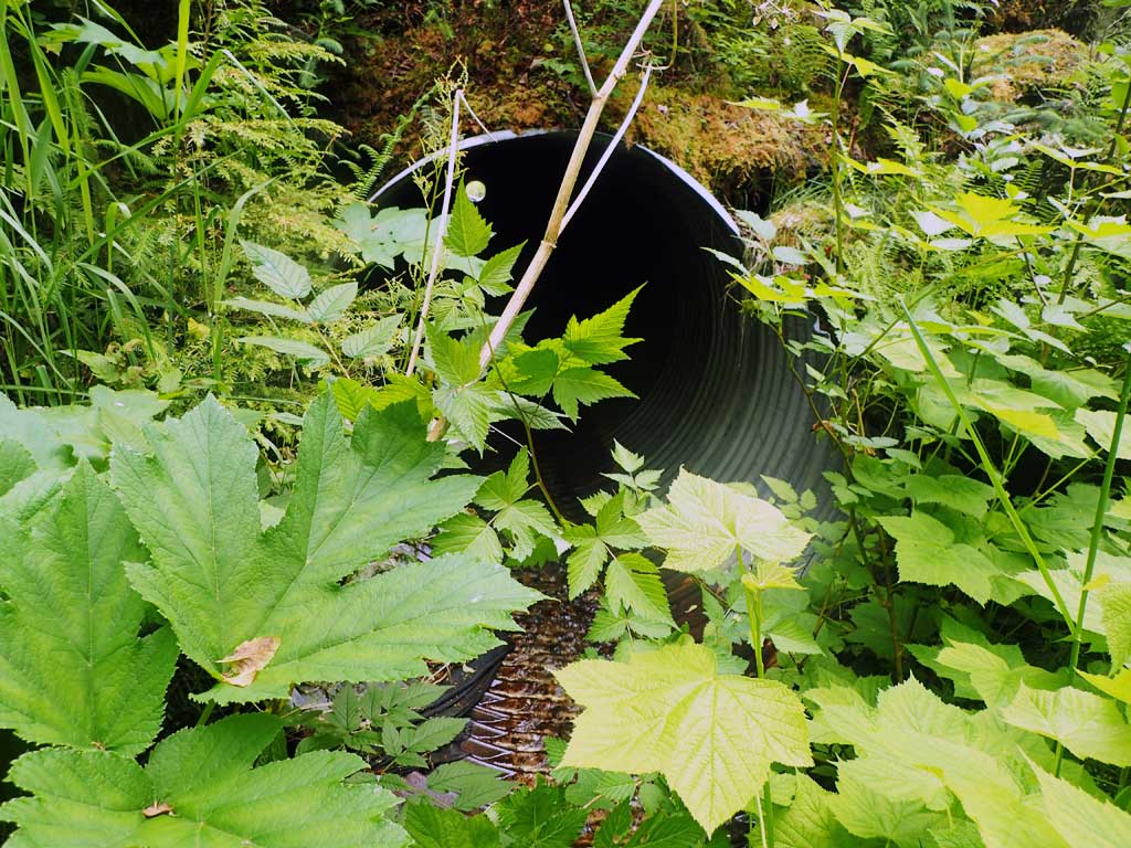
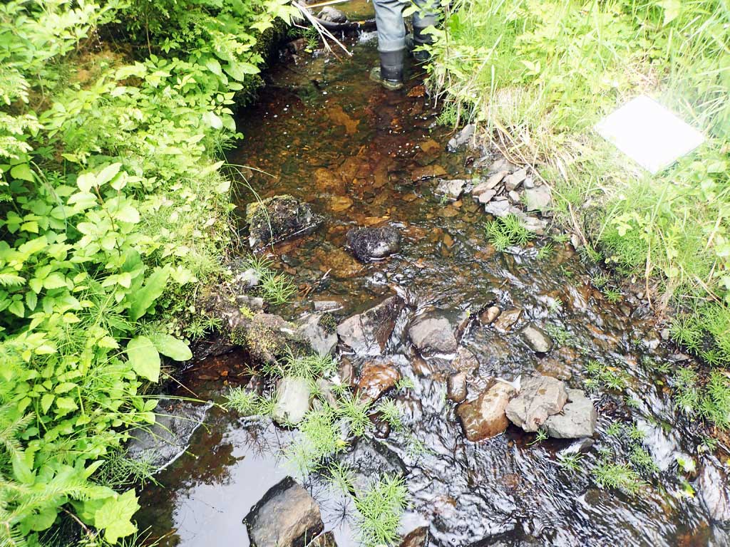
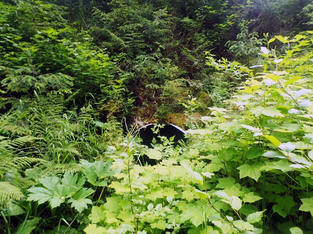
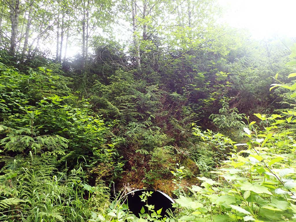
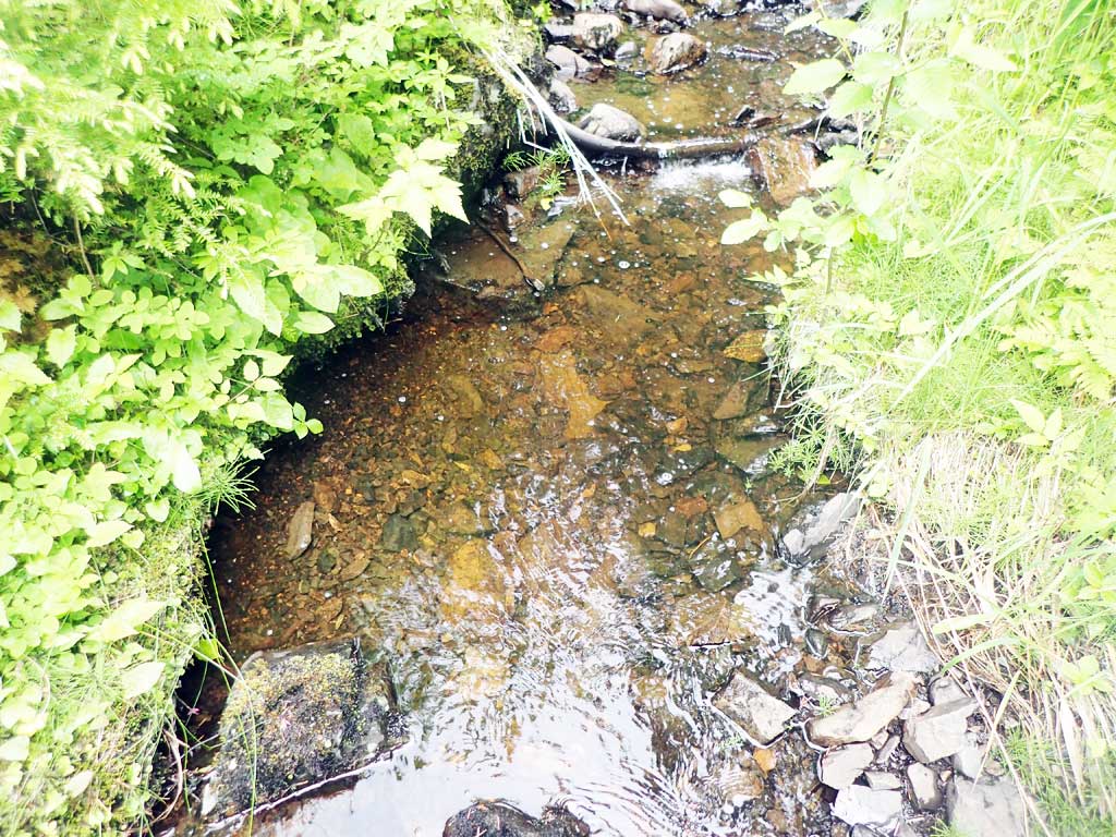
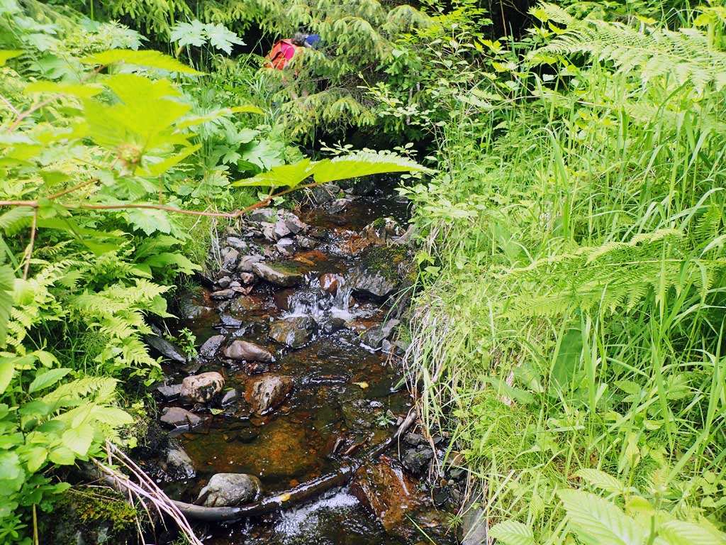
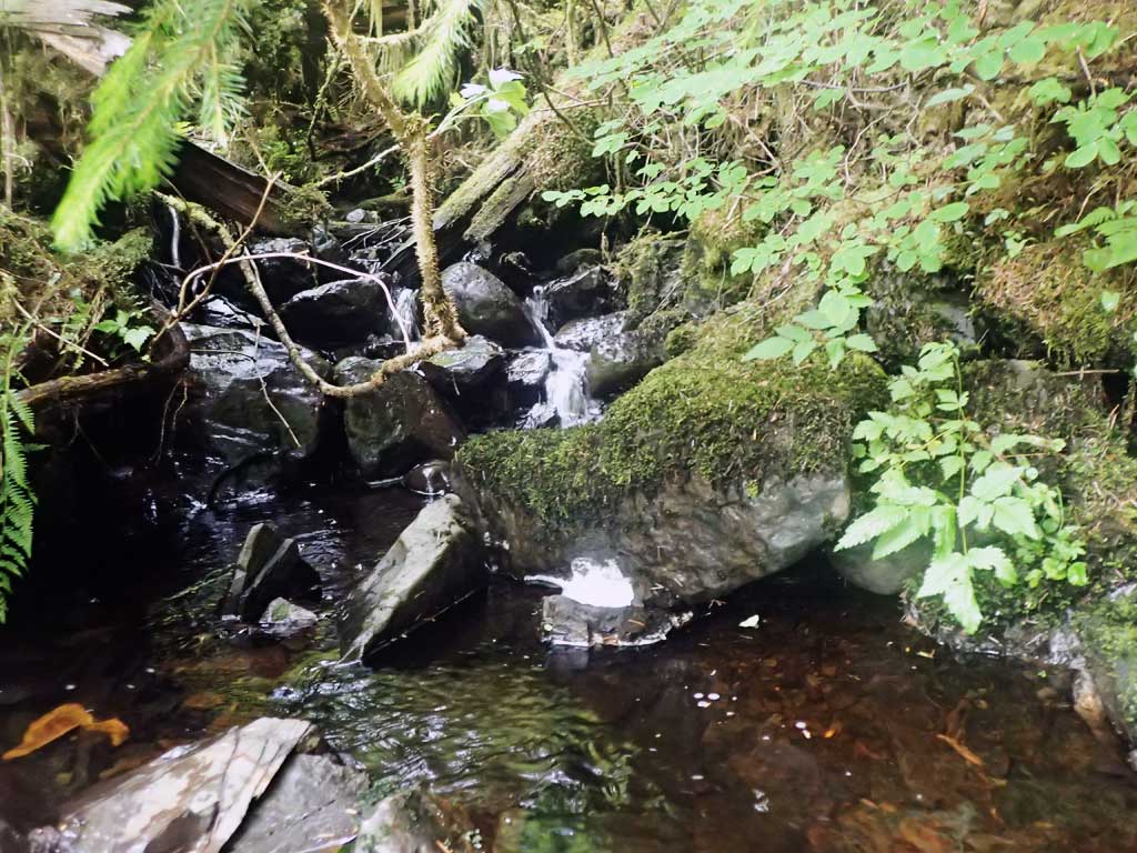
Comments: Clearcut downstream, lots of logging slash. About 50ft road fill. Steep down from road. Upstream side 25ft road fill, very brusy. No survey attempted. Upstream gets steeper after 60ft, step pools and very brushy. No traps set due to climbing over logging slash.
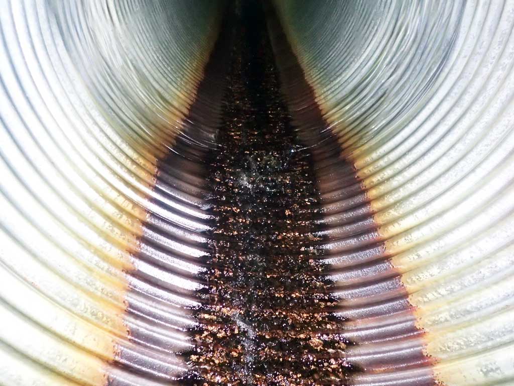
Culvert Measurements
| ID: 1 | Structure Type: Circular pipe (Corrugated steel) | Fish Passage Rating: | |||||||||||||||||||||||||||||||||||||||||
|
|
|
|||||||||||||||||||||||||||||||||||||||||
Comments: No survey, too steep, high and brushy. Outfall height was measured with ruler. Estimated pipe gradient about 5%. |
|||||||||||||||||||||||||||||||||||||||||||
Culvert Observations:
|
|||||||||||||||||||||||||||||||||||||||||||
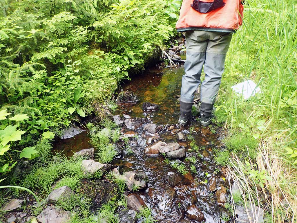
Stream Measurements
|
|
| Stream Width Type | Distance From Crossing (ft) |
Stream Width (ft) |
|---|---|---|
| Upstream ordinary high water | 20.0 | 3.50 |
| Upstream ordinary high water | 40.0 | 5.00 |
| Upstream ordinary high water | 60.0 | 4.50 |
Elevations
No elevation data available.
Fish Sampling Efforts
No fish sampling occurred during this survey.
Fish Observations
No fish observations occurred during this survey.
Photos


Questions or comments about this report can be directed to dfg.dsf.webmaster@alaska.gov