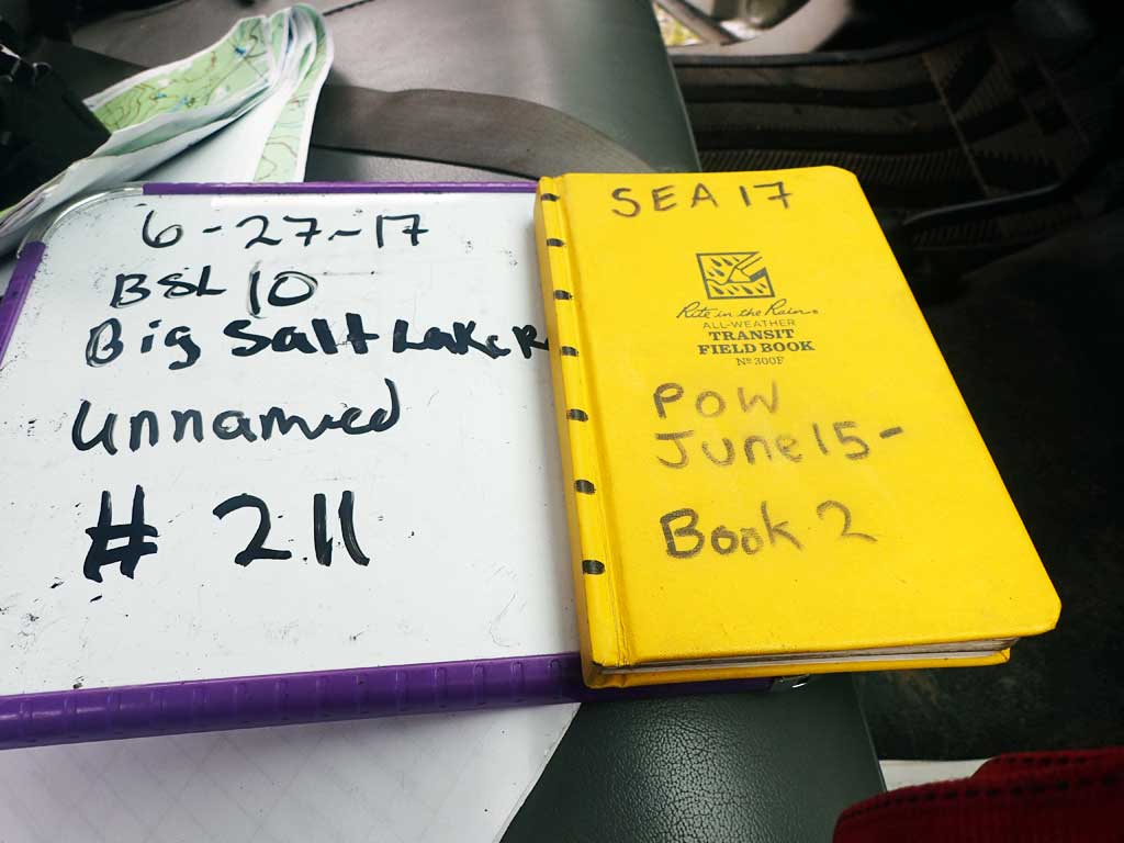
Fish Passage Site 10103527
Coordinates (dec. deg.): 55.67048°, -132.90140°
Legal Description: C071S082E31
Region: Southeast
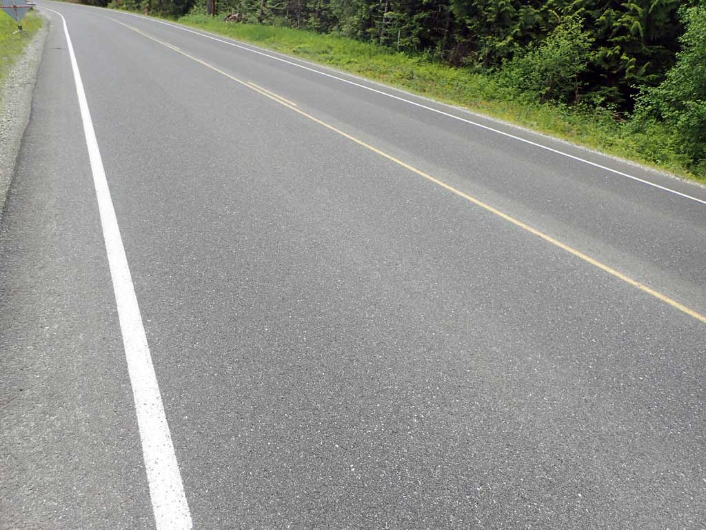
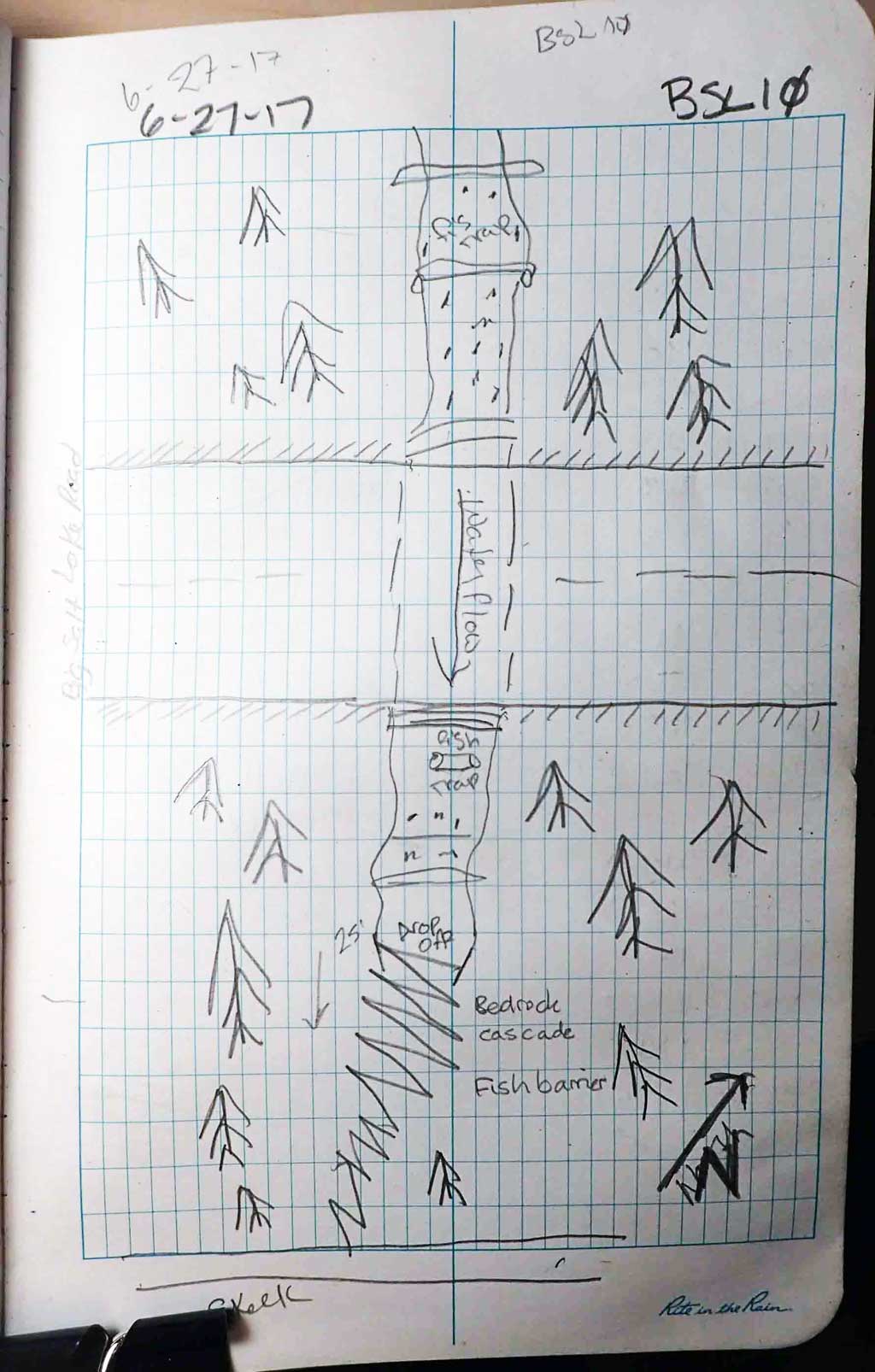
Road Name: Big Salt Lake Road
Datum: NAD83
Quad Name / ITM: Craig C-3
AWC Stream #:
Stream Name: Unnamed
Elevation:
Site Comments: Site is near milepost 14.
Survey SEA17-BSL10
Observers: Elizabeth Flory, Kelly Petty
Overall Fish Passage Rating:
Tidal: No
Backwatered: No
Step Pools: No
Construction Year:
Site Observations:
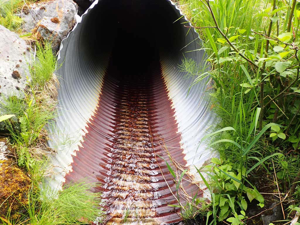
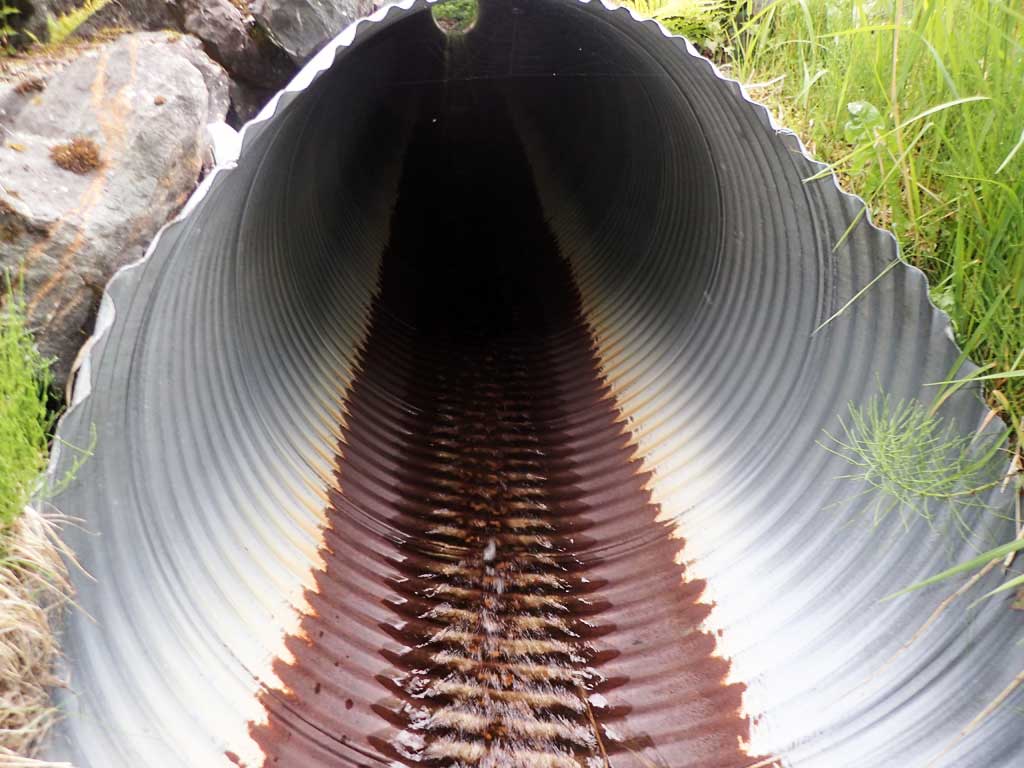
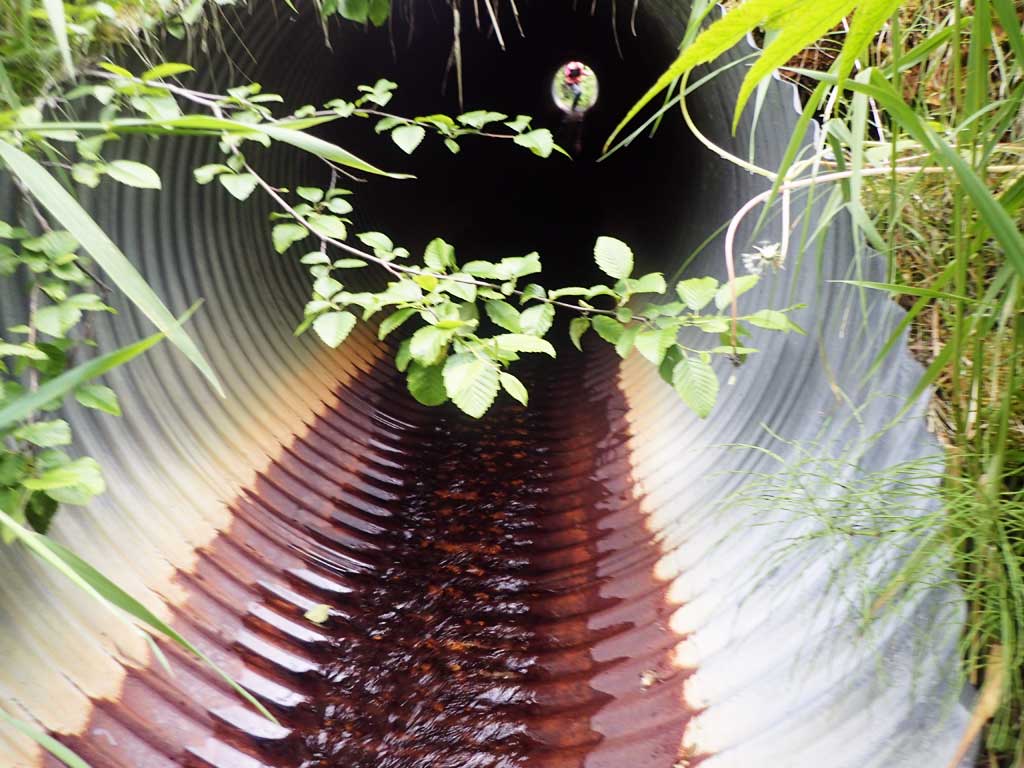
- Outfall height red
- Culvert gradient red
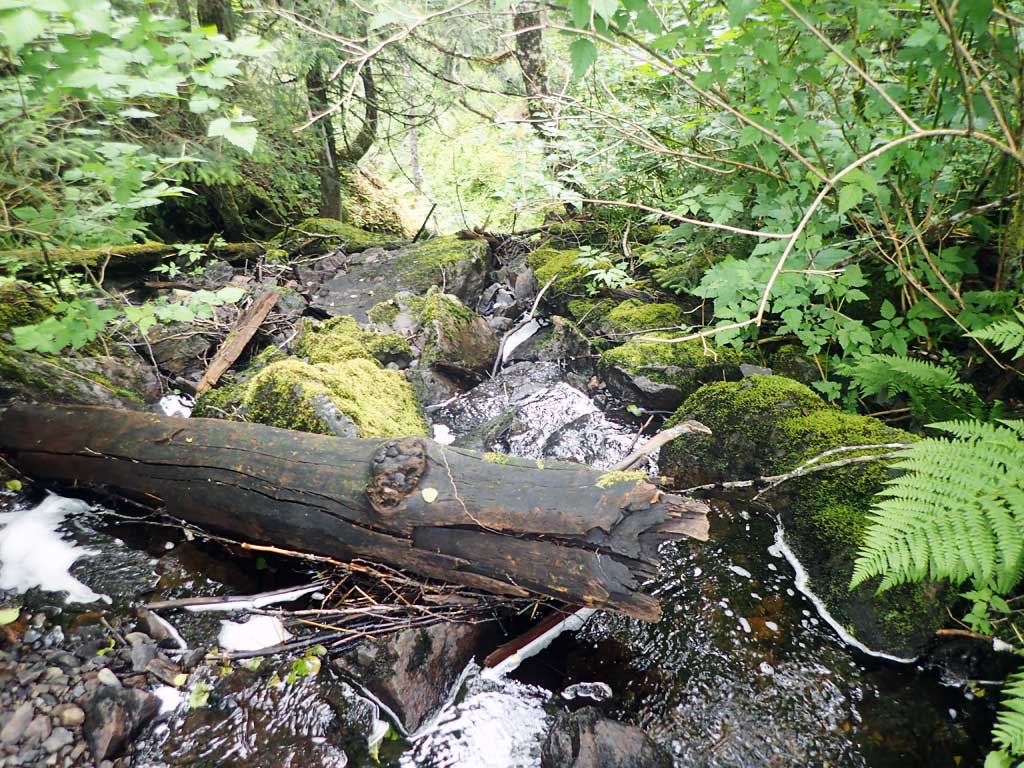
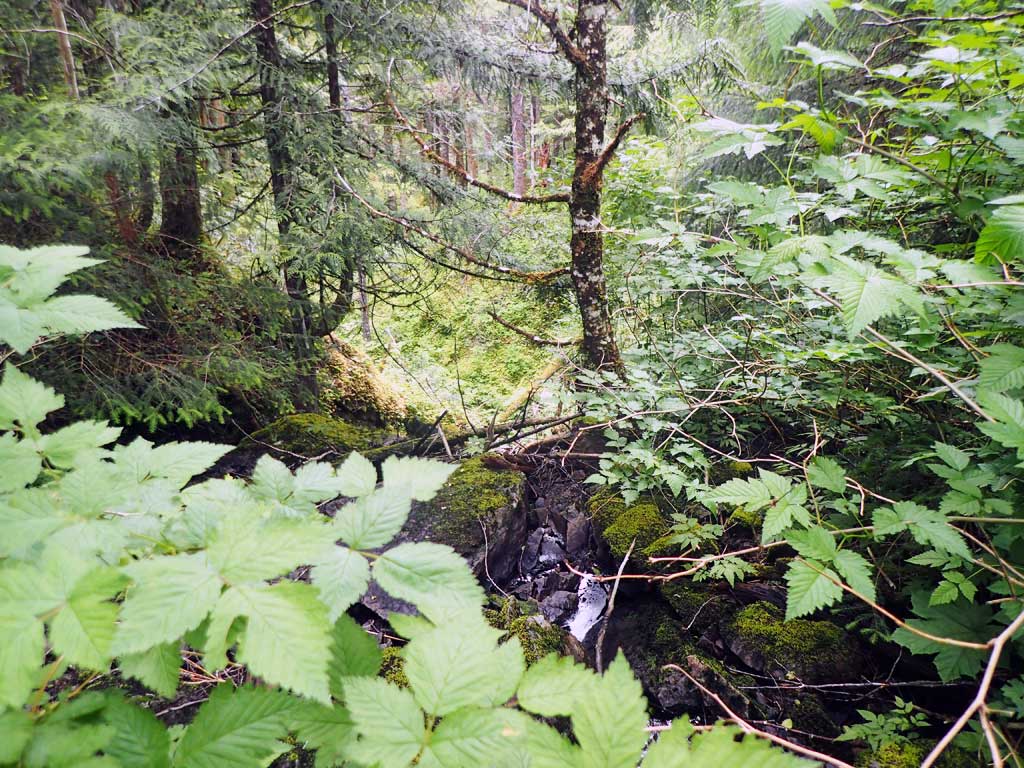
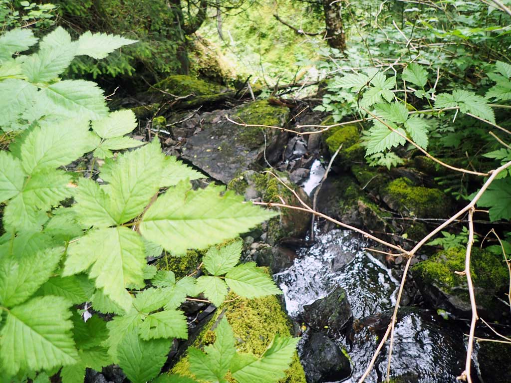
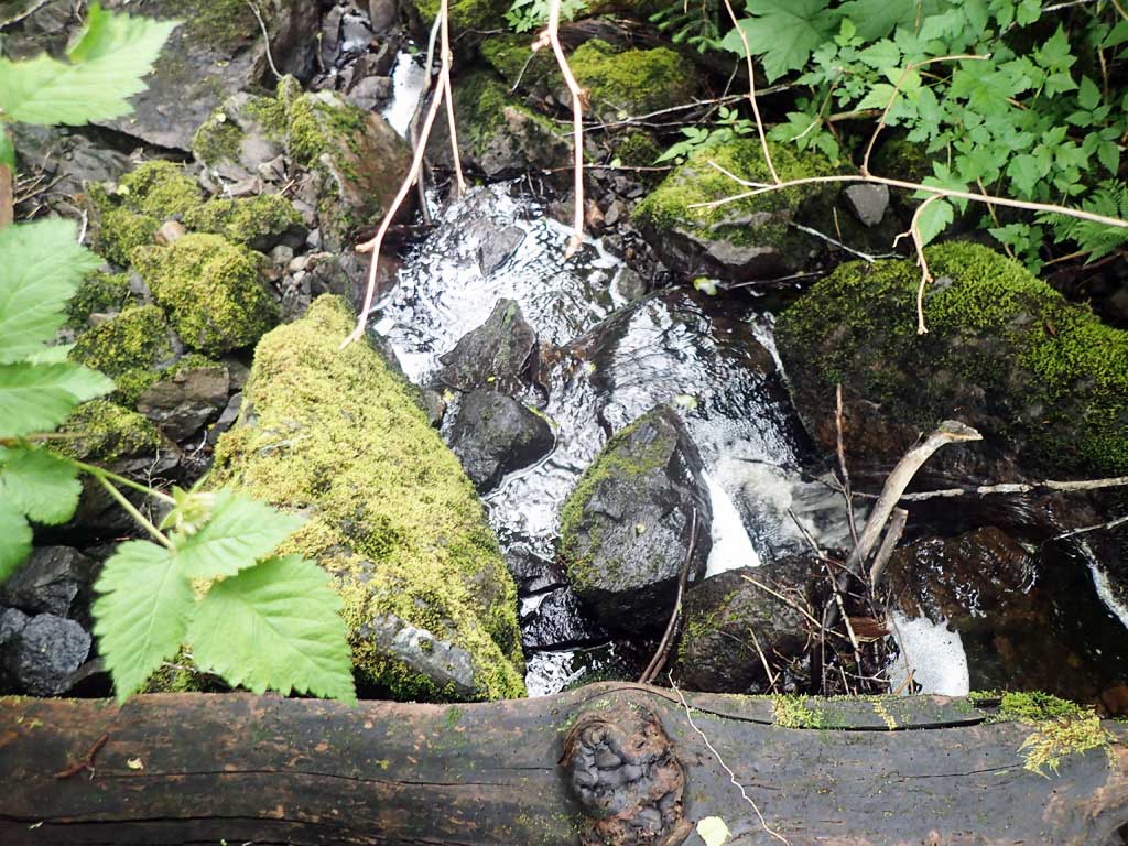
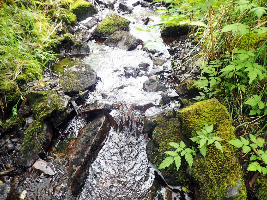
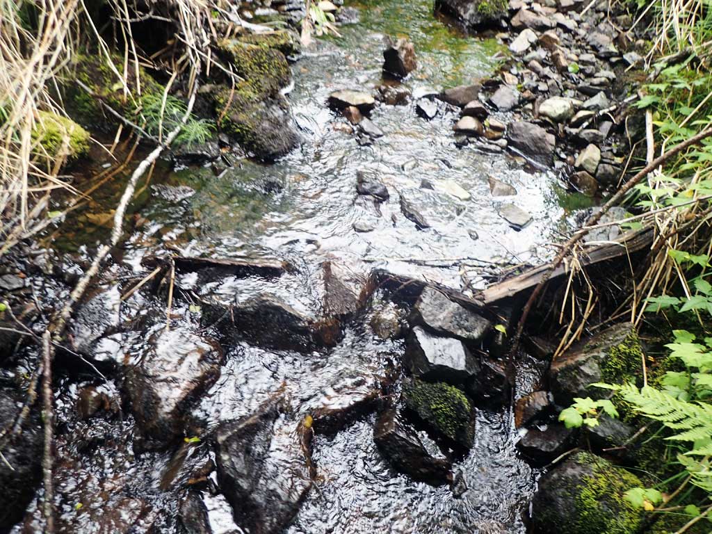
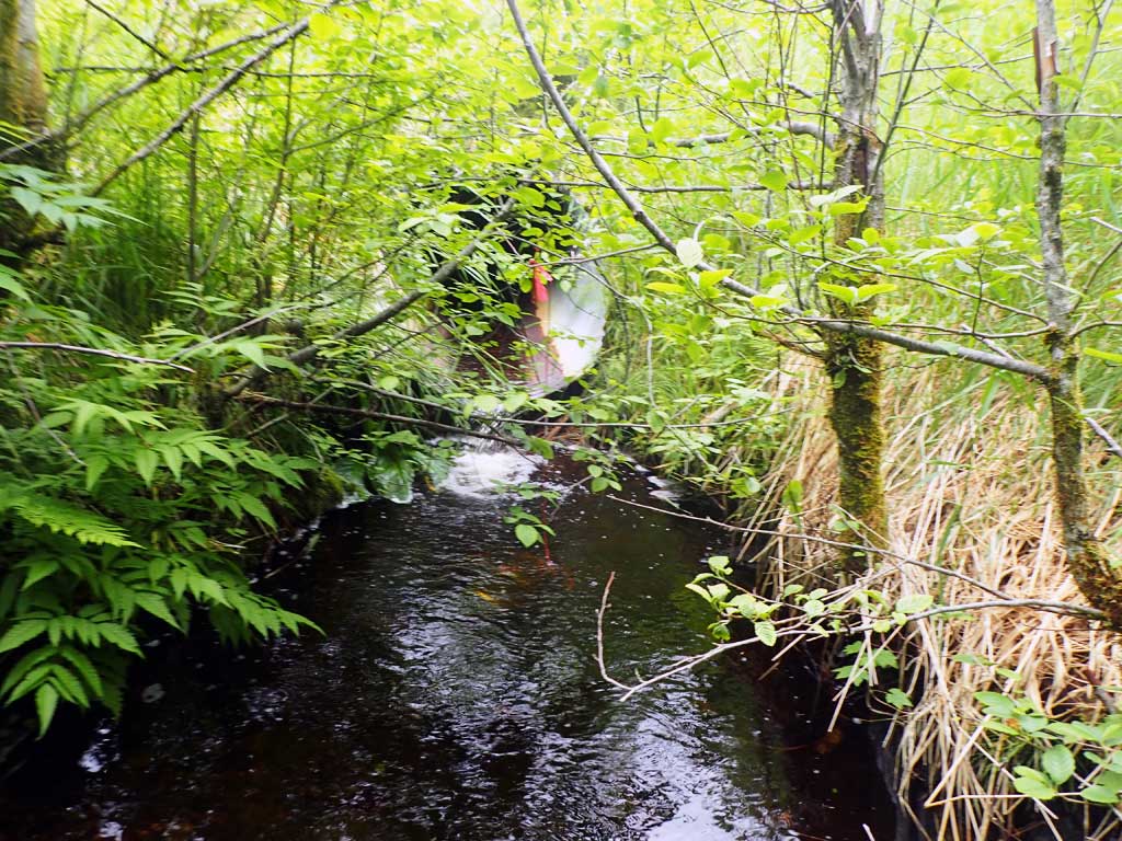
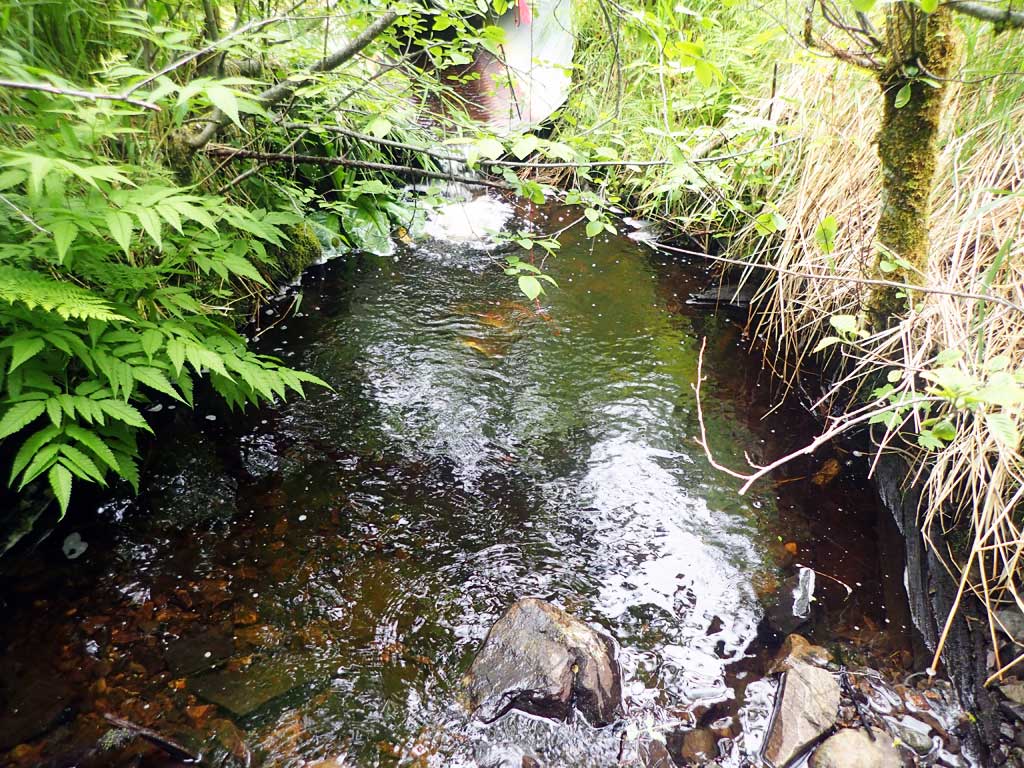
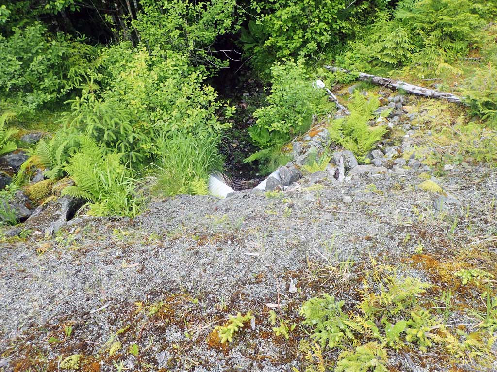
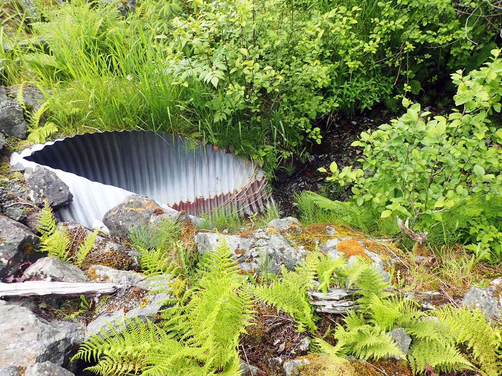
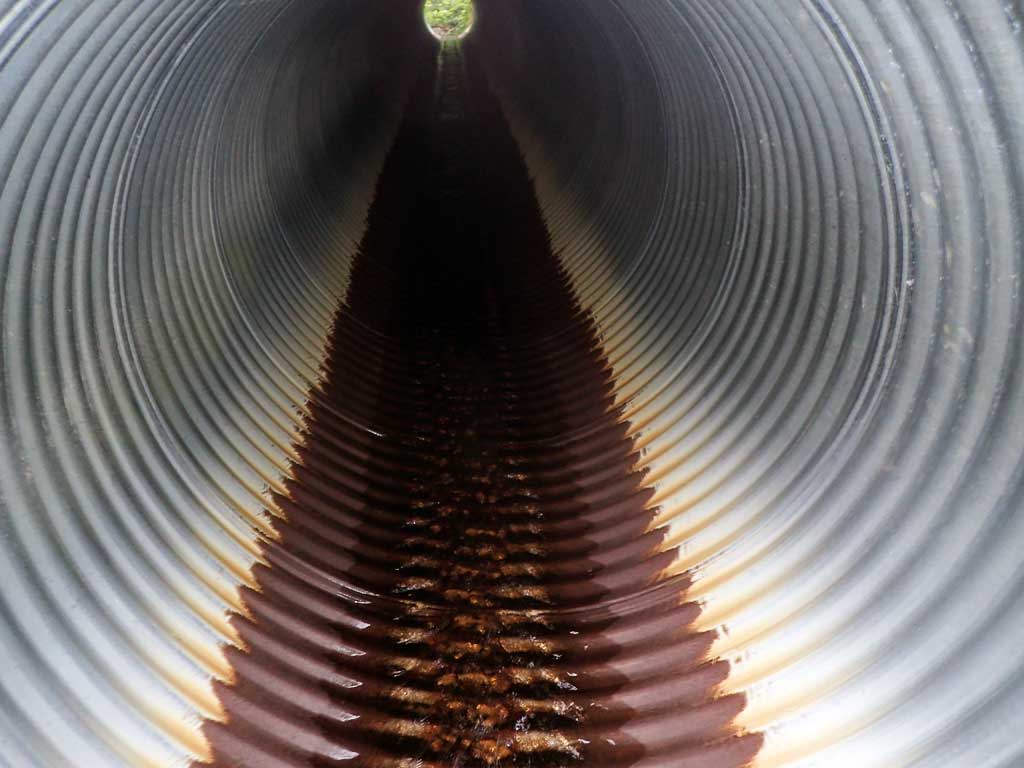
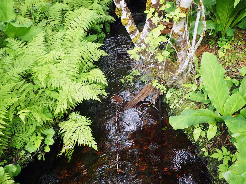
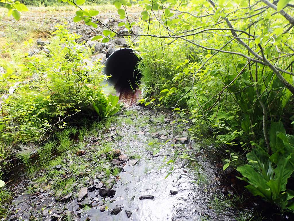
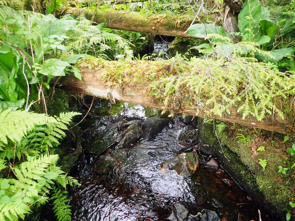
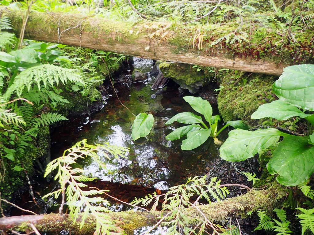
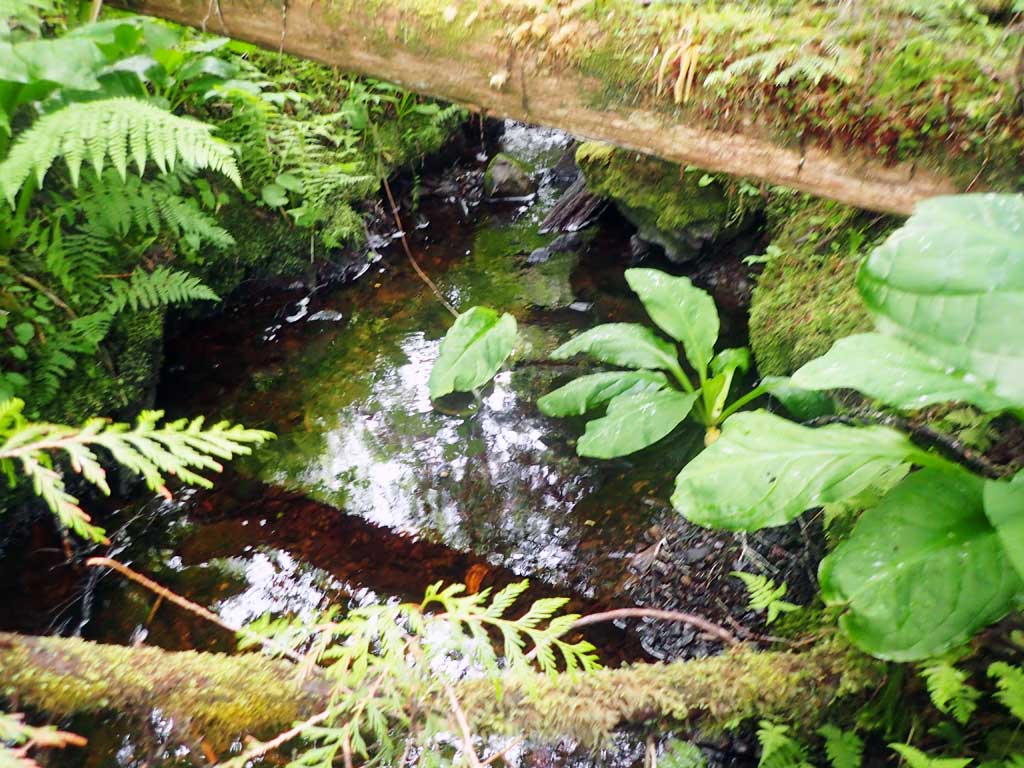
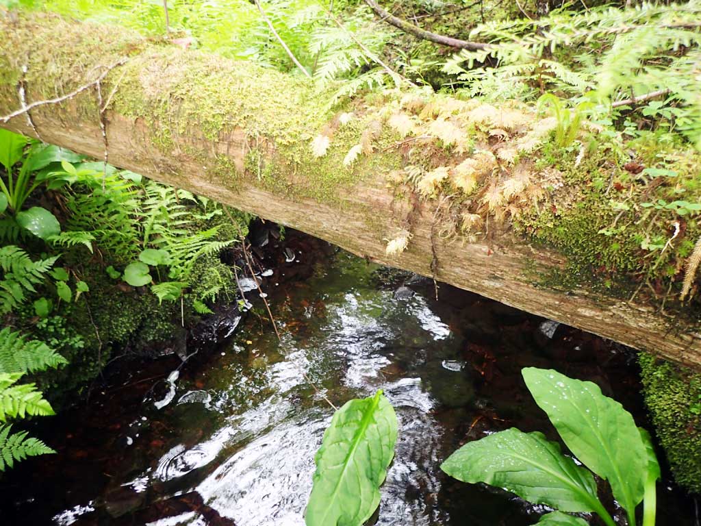
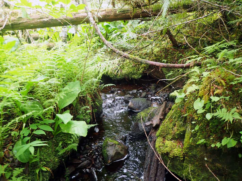
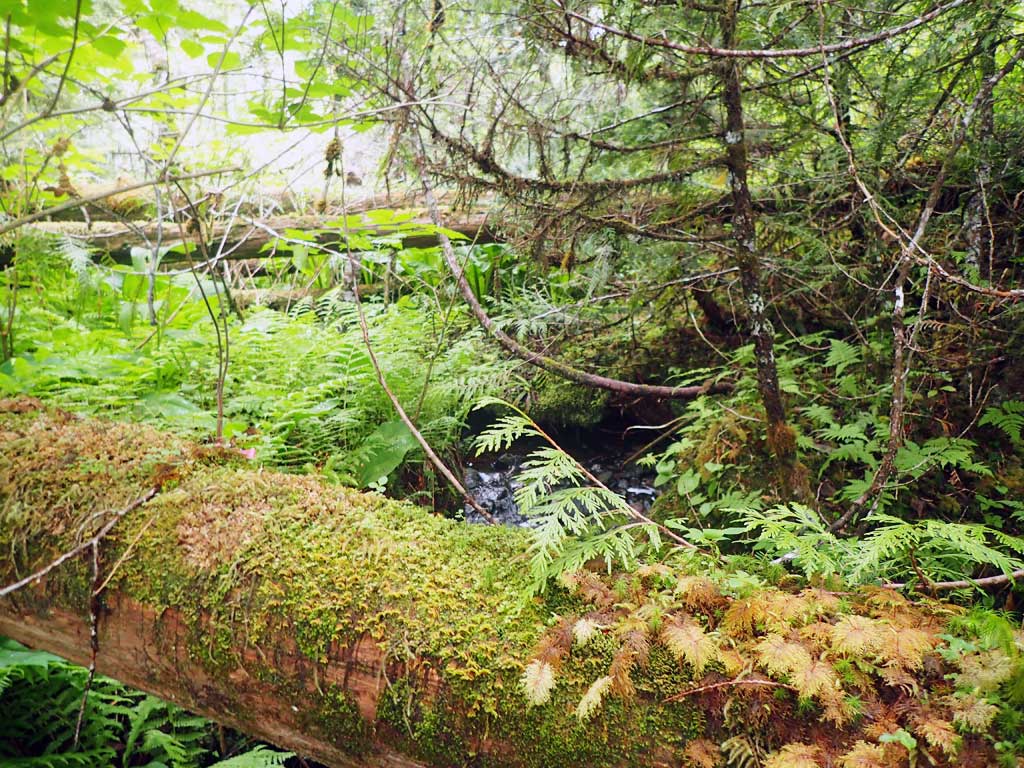
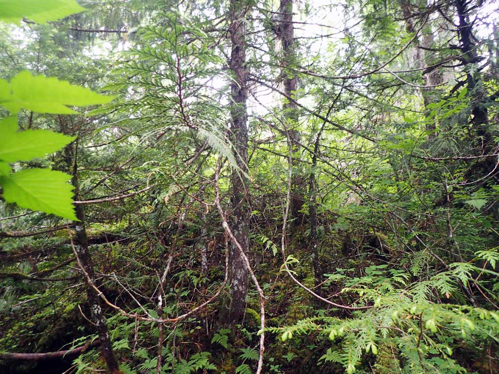
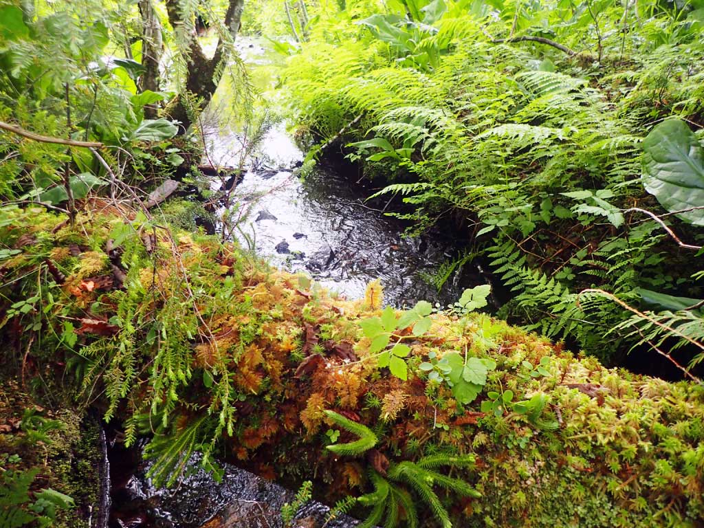
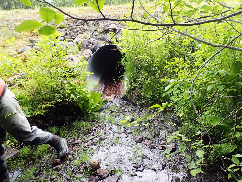
Comments: Likely fish barrier 50ft downstream consisting of 25ft drop of steep steps of bedrock. Last one is over 10ft step. Upstream has nice small pools mixed with gravel riffle. Outfall to pool about 10 inches. No fish caught. Brushy upstream for gradient.
Culvert Measurements
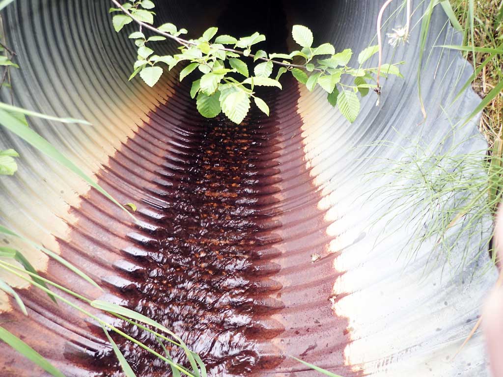
| ID: 1 | Structure Type: Circular pipe (Corrugated steel) | Fish Passage Rating: | |||||||||||||||||||||||||||||||||||||||||
|
|
|
|||||||||||||||||||||||||||||||||||||||||
Comments: Top of culvert length, 59.3'. |
|||||||||||||||||||||||||||||||||||||||||||
Culvert Observations:
|
|||||||||||||||||||||||||||||||||||||||||||
Stream Measurements
|
|
| Stream Width Type | Distance From Crossing (ft) |
Stream Width (ft) |
|---|---|---|
| Upstream ordinary high water | 60.0 | 2.75 |
| Upstream ordinary high water | 100.0 | 3.00 |
| Upstream ordinary high water | 120.0 | 2.80 |
Elevations
| Locator ID | Culvert Number |
River Distance (ft)1 |
Distance From Crossing (ft)2 |
Relative Elevation (ft) |
|---|---|---|---|---|
| Road Elev | 101.11 | |||
| D/S Grade Ctrl (Thalweg) (First step of barrier falls) | 0.00 | 85.01 | ||
| D/S Water Surface Elev | 0.00 | 85.45 | ||
| D/S Tailcrest or 1st Thalweg (Tailwater control) | 16.00 | 87.66 | ||
| D/S Water Surface Elev | 16.00 | 87.87 | ||
| D/S Water Surface Elev | 28.00 | 88.02 | ||
| Max Pool Depth (Outfall pool) | 28.00 | 87.01 | ||
| Outlet Invert (On pipe) | 35.00 | 88.76 | ||
| D/S Water Surface Elev | 35.00 | 88.79 | ||
| Outlet Culvert Top | 41.00 | 92.08 | ||
| Inlet Culvert Top | 100.30 | 95.87 | ||
| Inlet Culvert Invert (On pipe) | 106.30 | 91.90 | ||
| U/S Water Surface Elev | 106.30 | 92.03 | ||
| U/S Grade Ctrl (Thalweg) | 118.30 | 92.62 | ||
| U/S Water Surface Elev | 118.30 | 92.75 | ||
| U/S Water Surface Elev | 126.30 | 92.70 | ||
| U/S Thalweg (First resting pool) | 126.30 | 92.15 | ||
| U/S Grade Ctrl (Thalweg) | 134.30 | 92.76 | ||
| U/S Water Surface Elev | 134.30 | 92.99 |
Notes:
- River distance is measured continuously throughout the survey reach along the thalweg of the stream.
- Measured from each end of the crossing along the thalweg of the stream.
Fish Sampling Efforts
| Gear Type: Minnow Trap (A) | Trap Duration(h): 1.0 | |
| Comments: 50ft upstream, no fish caught | ||
| Gear Type: Minnow Trap (B) | Trap Duration(h): 1.0 | |
| Comments: 20ft downstream, no fish caught | ||
Fish Observations
No fish observations occurred during this survey.
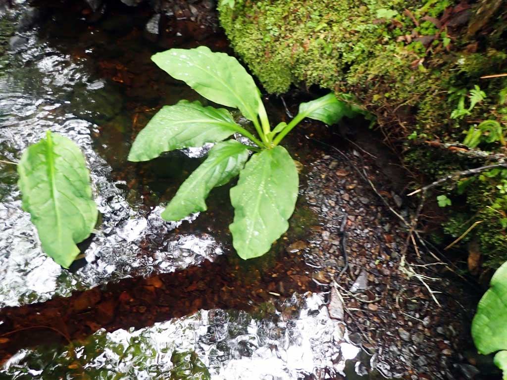
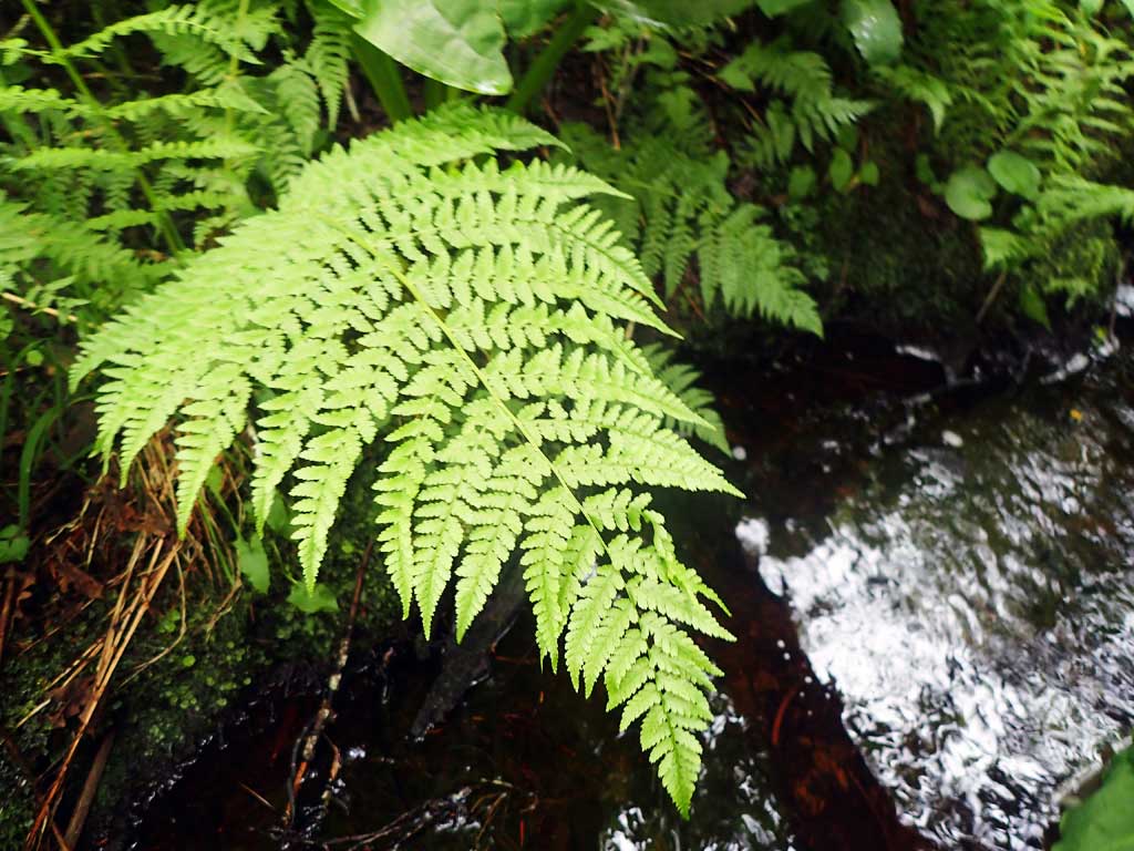
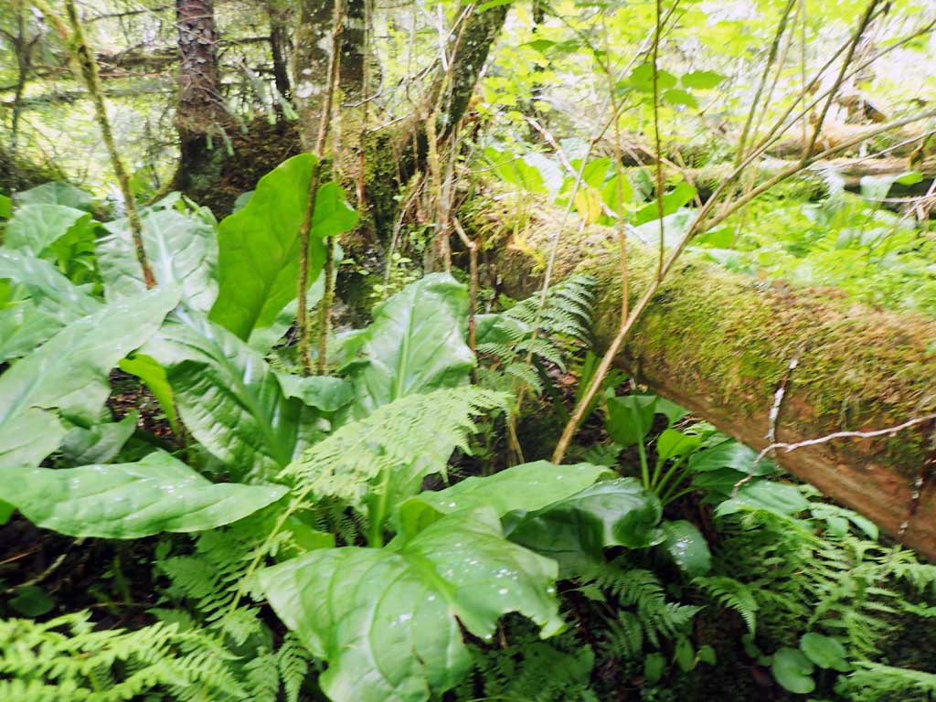
Photos
Questions or comments about this report can be directed to dfg.dsf.webmaster@alaska.gov