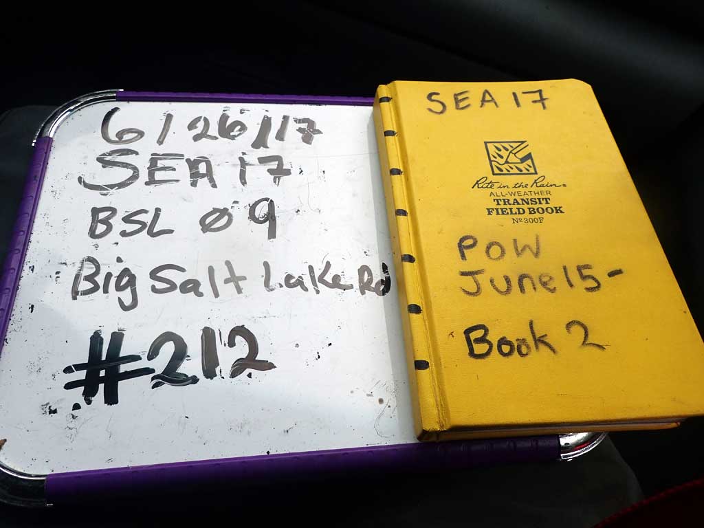
Fish Passage Site 10103526
Coordinates (dec. deg.): 55.67706°, -132.90027°
Legal Description: C071S082E31
Region: Southeast
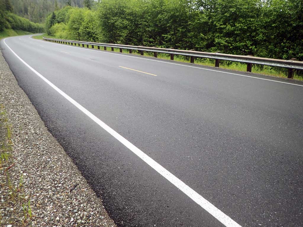
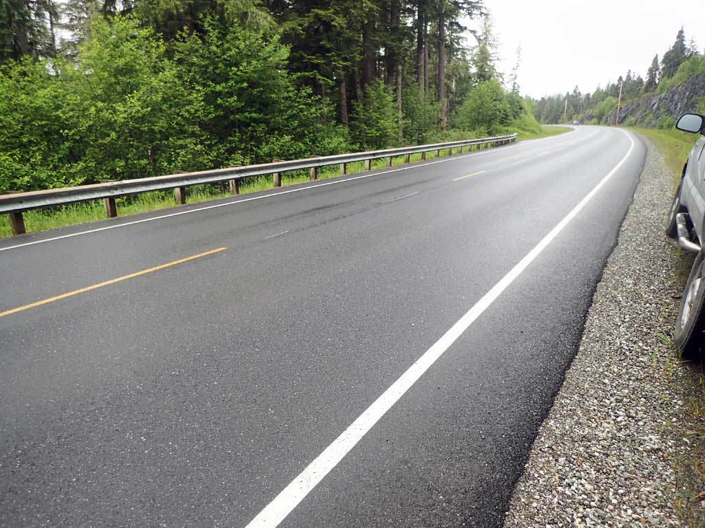
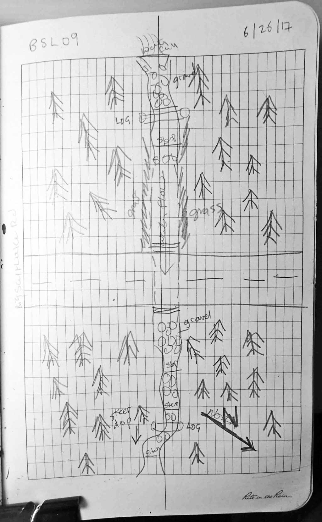
Road Name: Big Salt Lake Road
Datum: NAD83
Quad Name / ITM: Craig C-3
AWC Stream #:
Stream Name: Unnamed
Elevation:
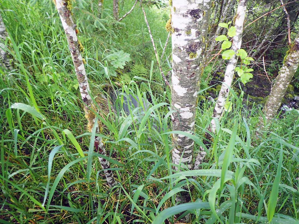
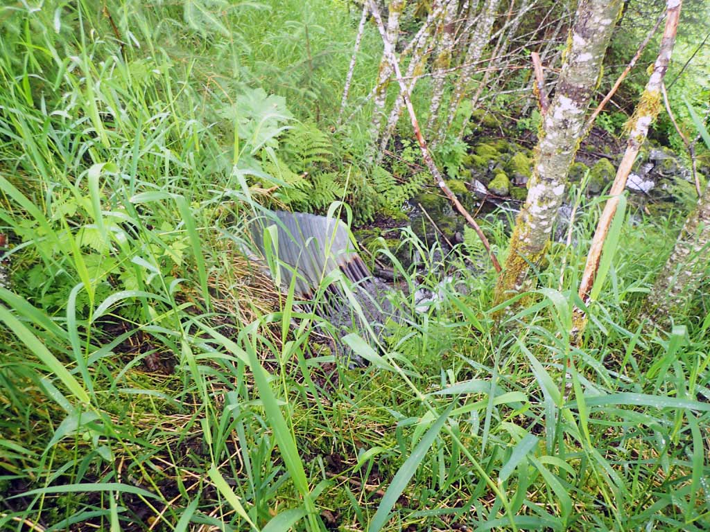
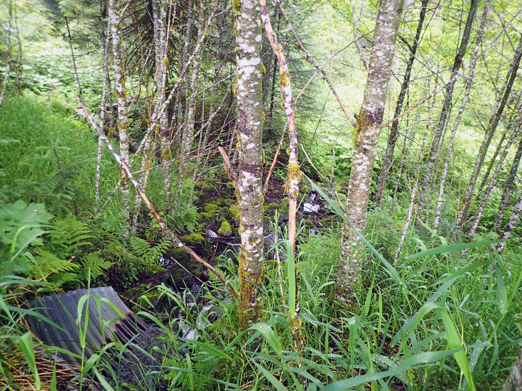
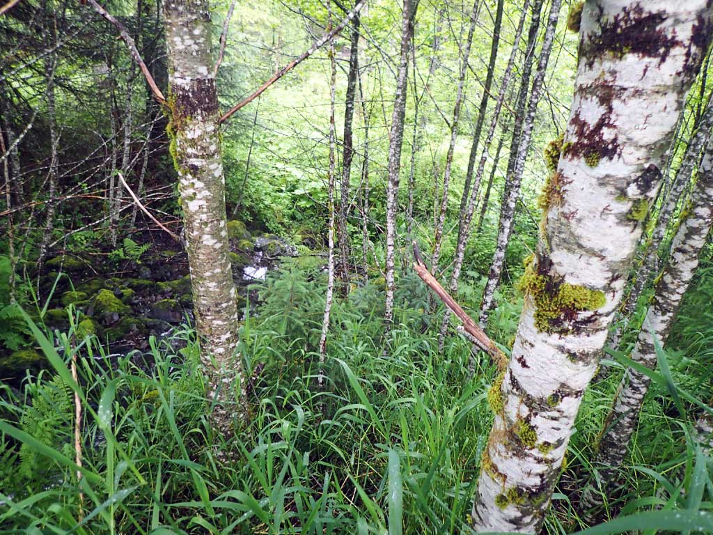
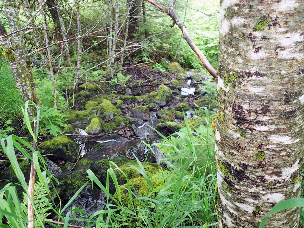
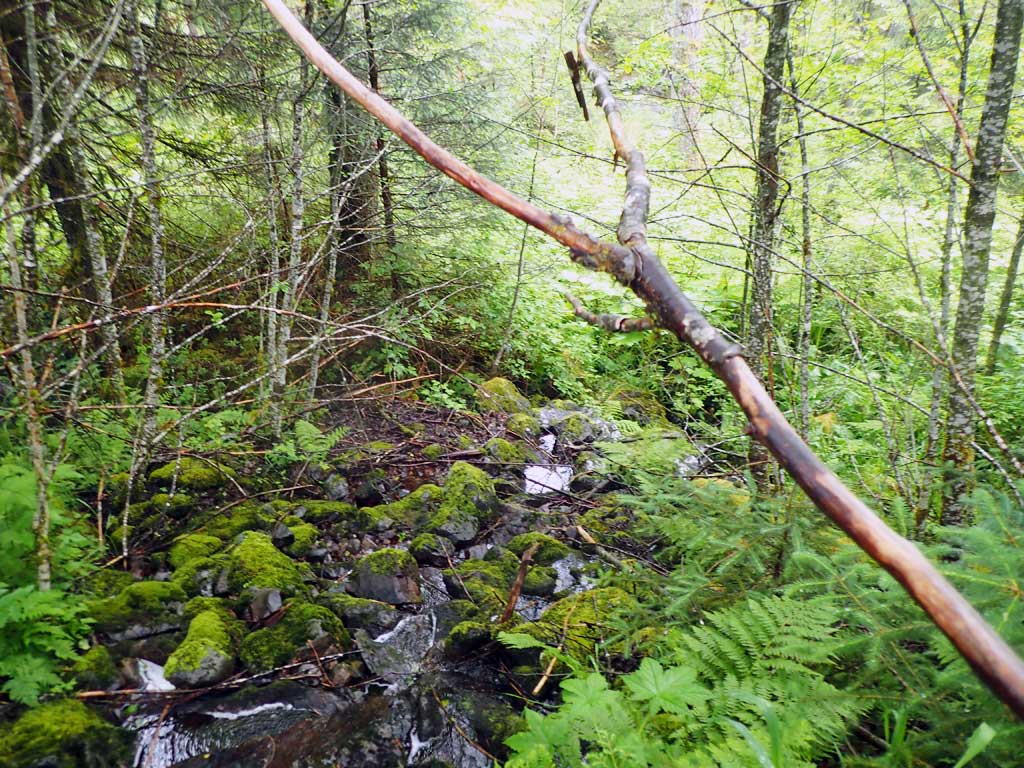
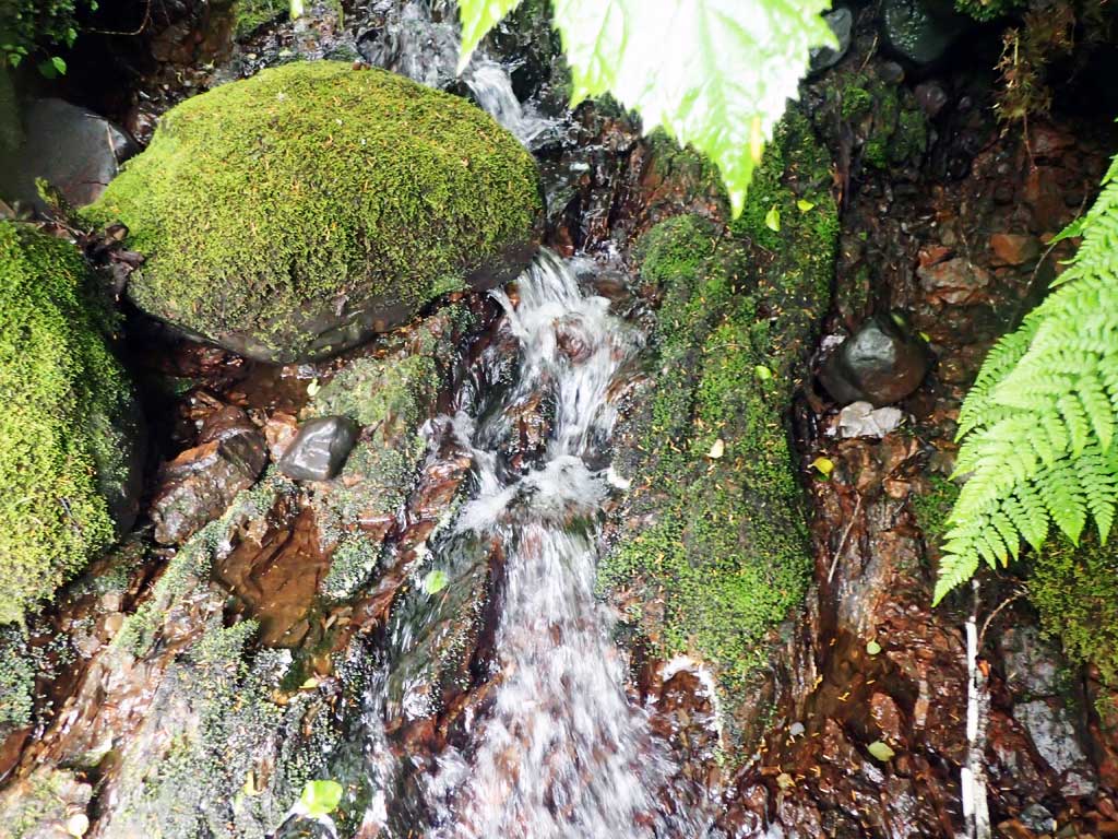
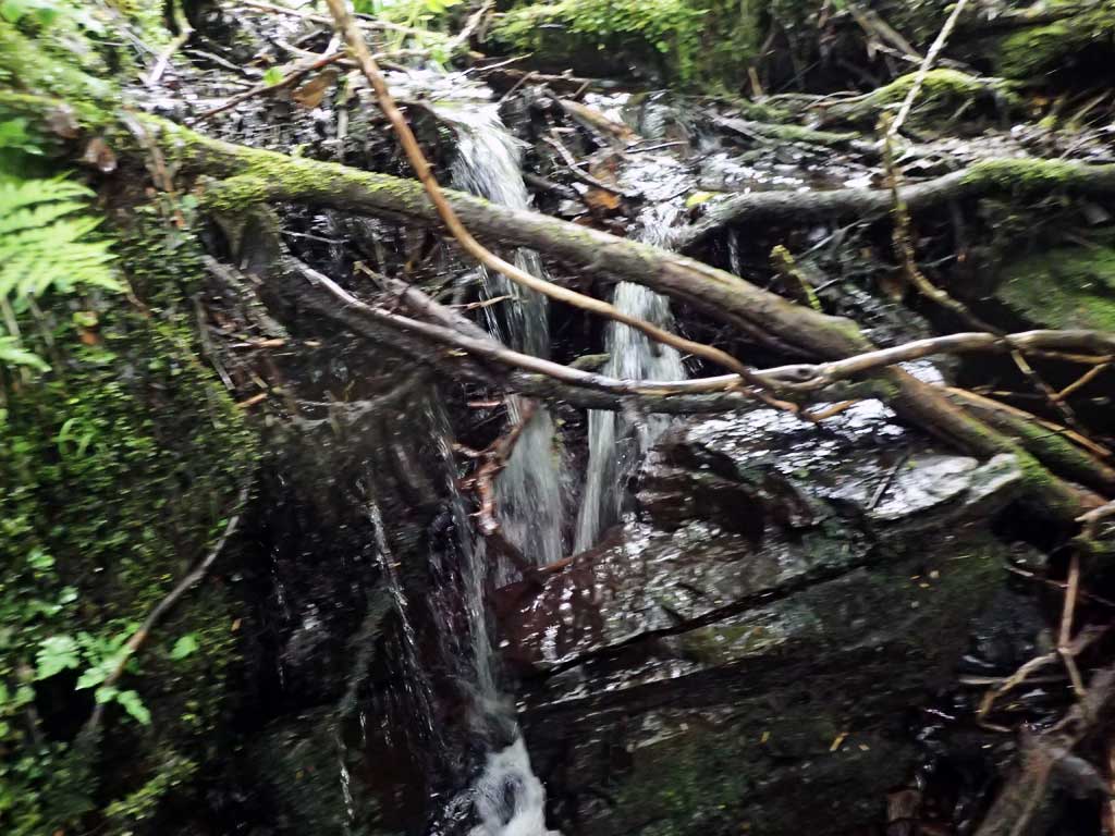
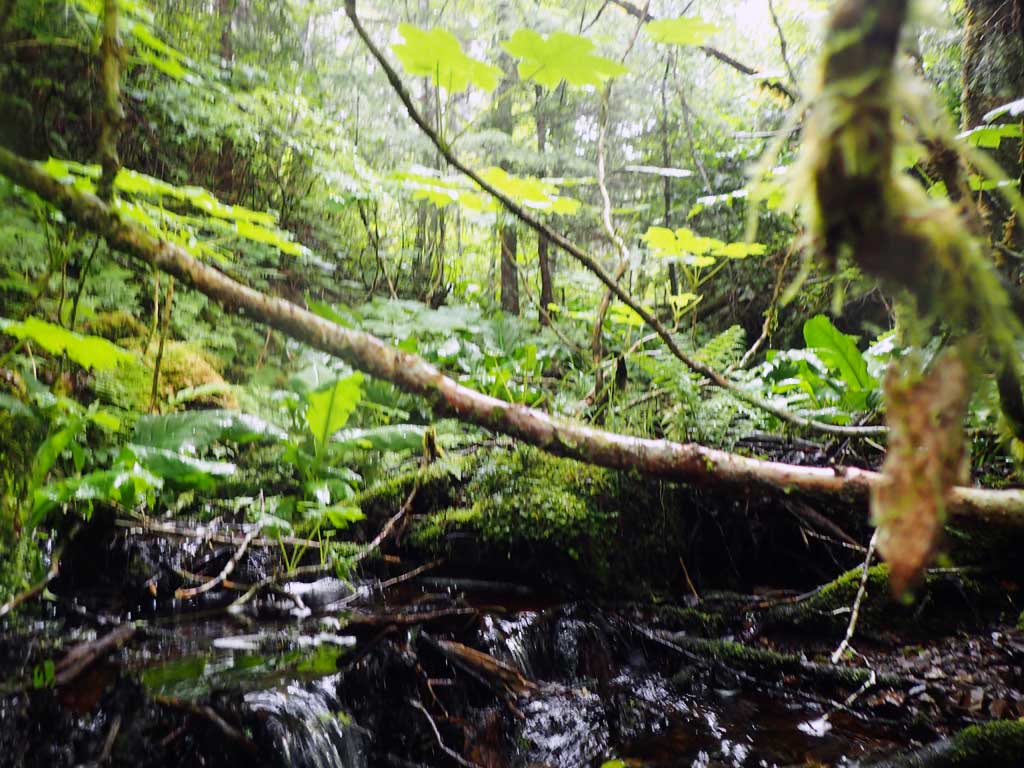
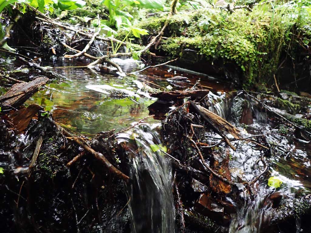
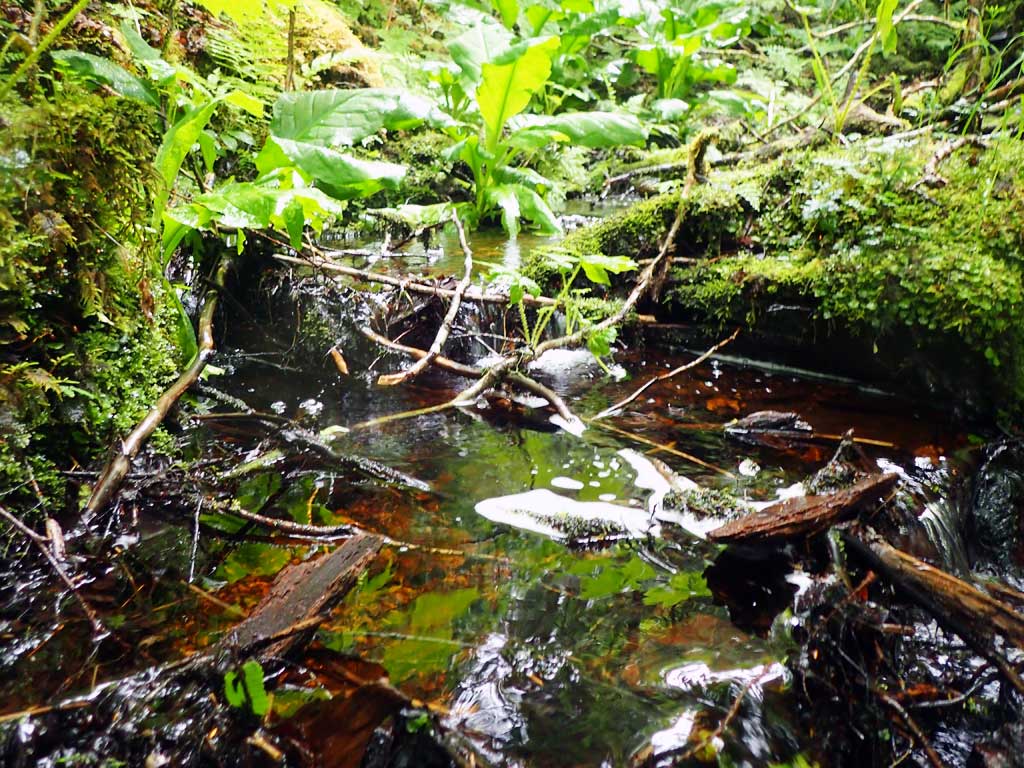
Site Comments: Steep gradient upstream, a few small step pools. Long drop, steep grade downstream. Estimated 50ft drop over 100ft horizontal. Probable fish barrier. Outfall measured with tape 6 inch fall to rock. No traps set, too shallow.
Survey SEA17-BSL09
Observers: Elizabeth Flory, Kelly Petty
Overall Fish Passage Rating:
Tidal: No
Backwatered: No
Step Pools: No
Construction Year:
Site Observations:
- Outfall height red
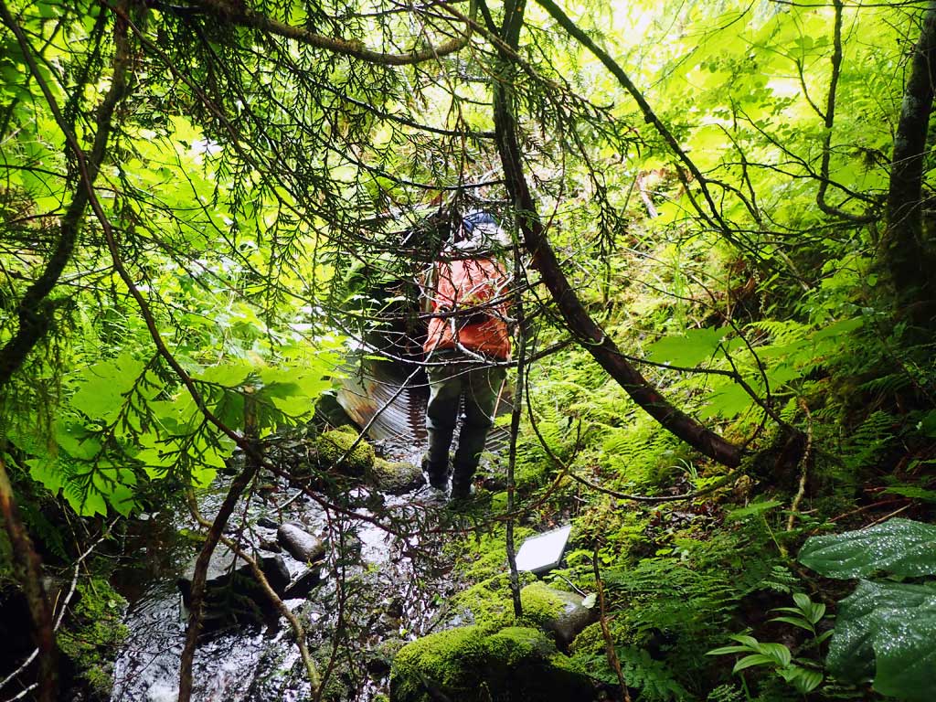
Comments: No survey attempted, steep slope with logging slash
Culvert Measurements
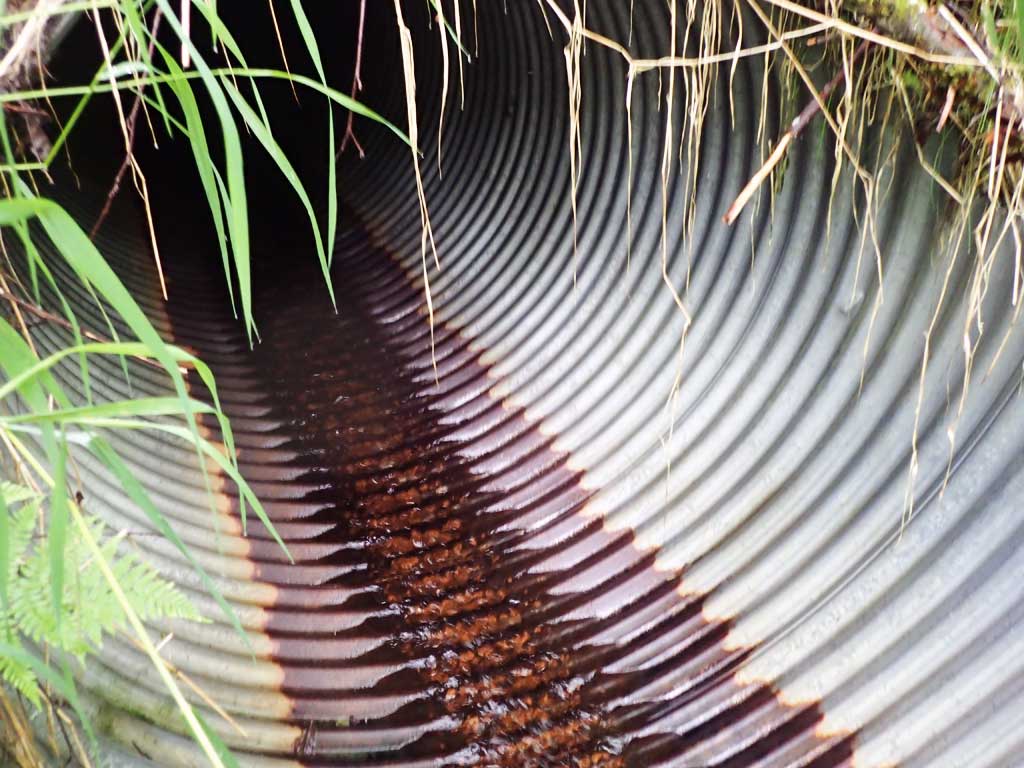
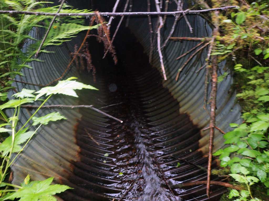
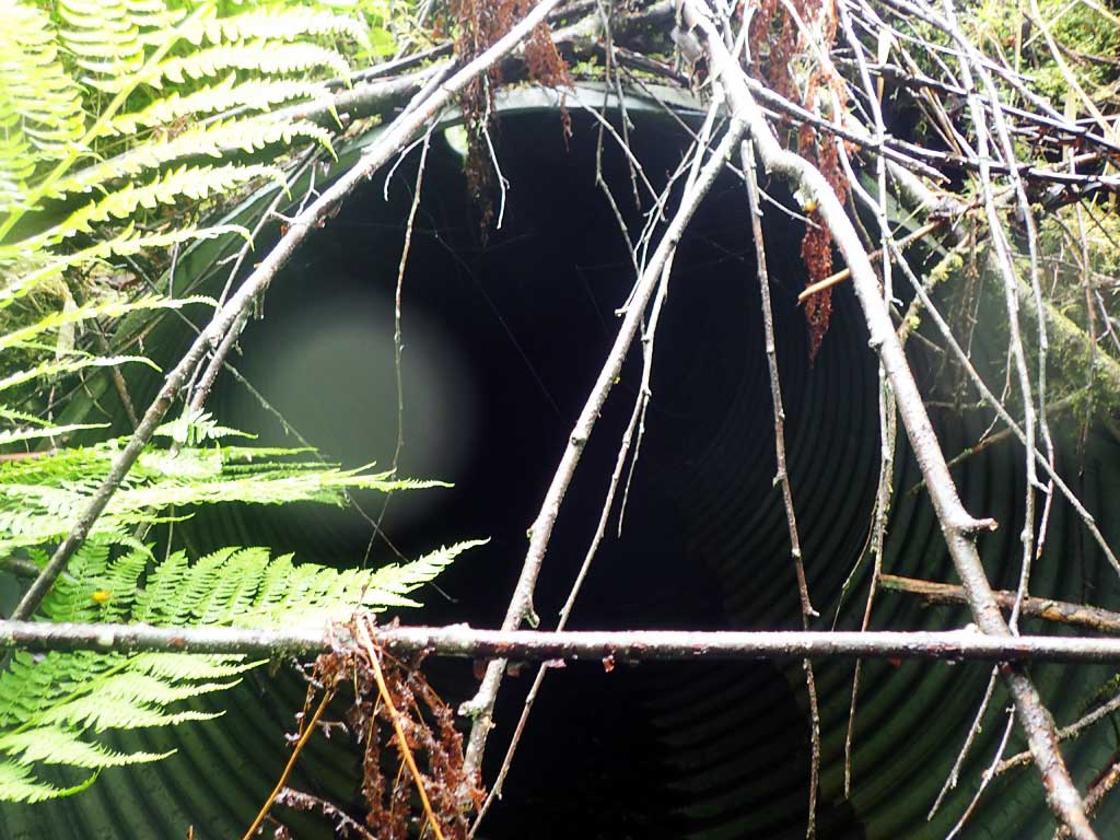
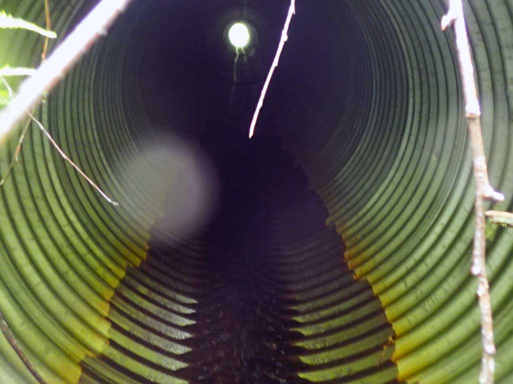
| ID: 1 | Structure Type: Circular pipe (Corrugated steel) | Fish Passage Rating: | |||||||||||||||||||||||||||||||||||||||||
|
|
|
|||||||||||||||||||||||||||||||||||||||||
Comments: Outfall 0.5' measured with tape to rip rap. Too much logging slash and steep drop for survey. |
|||||||||||||||||||||||||||||||||||||||||||
Culvert Observations:
|
|||||||||||||||||||||||||||||||||||||||||||
Stream Measurements
|
|
| Stream Width Type | Distance From Crossing (ft) |
Stream Width (ft) |
|---|---|---|
| Upstream ordinary high water | 20.0 | 2.25 |
| Upstream ordinary high water | 70.0 | 3.75 |
| Upstream ordinary high water | 100.0 | 3.00 |
Elevations
No elevation data available.
Fish Sampling Efforts
No fish sampling occurred during this survey.
Fish Observations
No fish observations occurred during this survey.
Photos
Questions or comments about this report can be directed to dfg.dsf.webmaster@alaska.gov