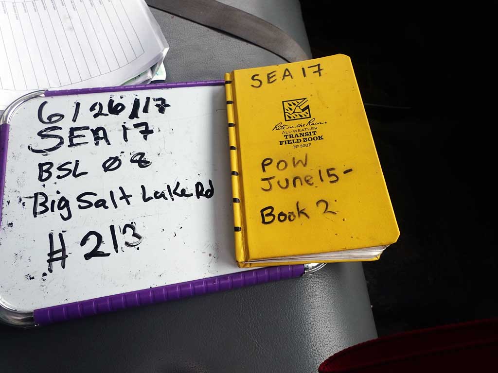
Fish Passage Site 10103525
Coordinates (dec. deg.): 55.67934°, -132.89731°
Legal Description: C071S082E30
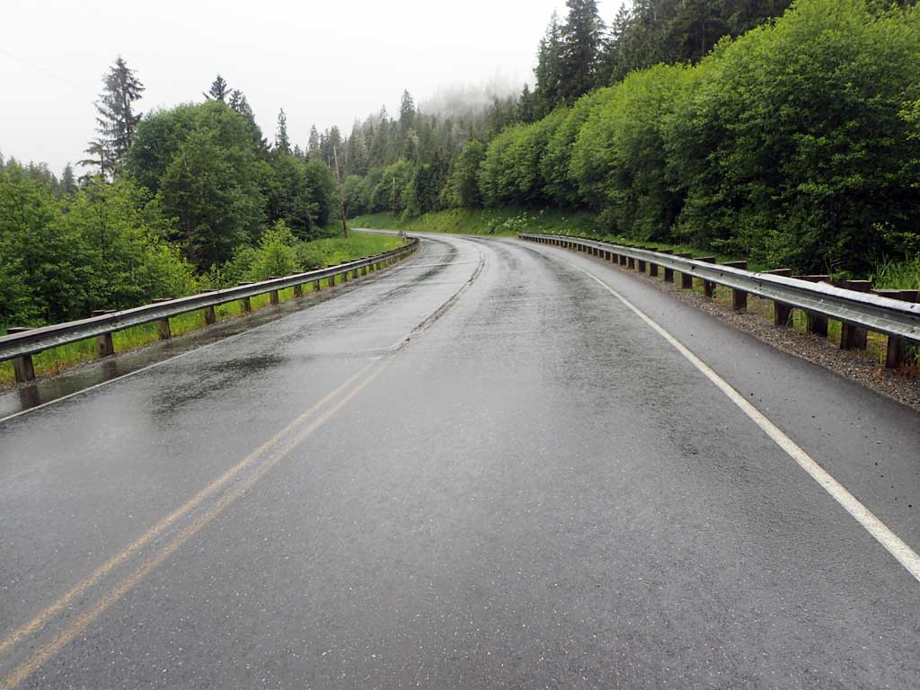
Region: Southeast
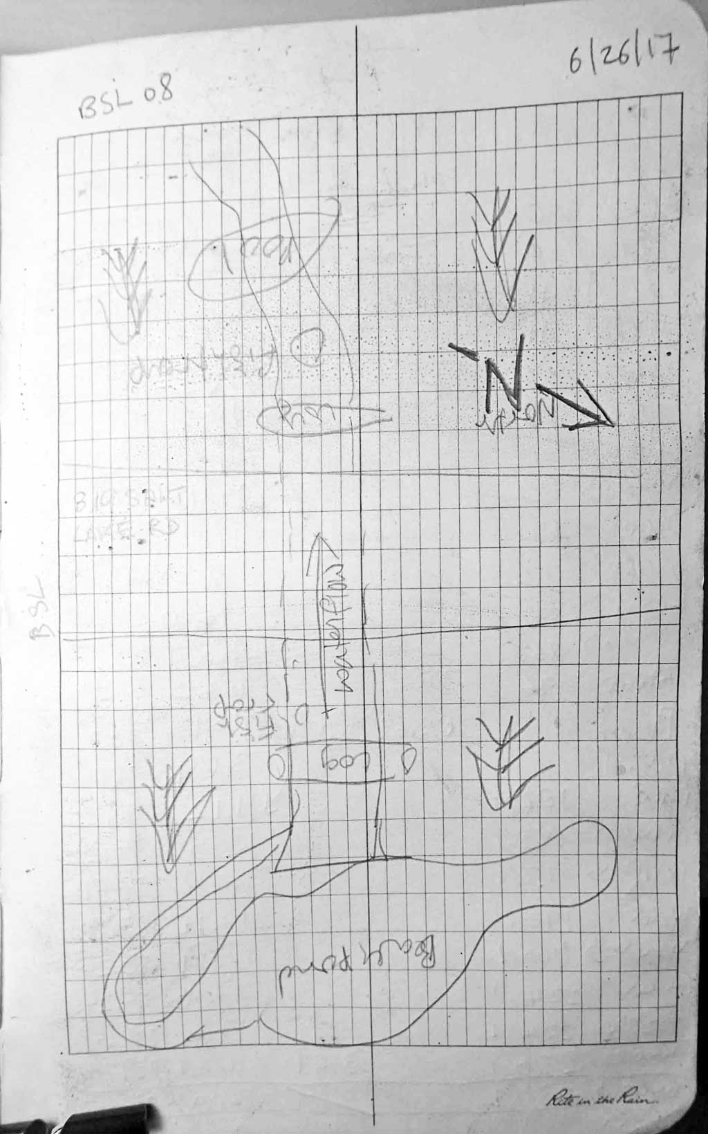
Road Name: Big Salt Lake Road
Datum: NAD83
Quad Name / ITM: Craig C-3
AWC Stream #:
Stream Name: Unnamed
Elevation:
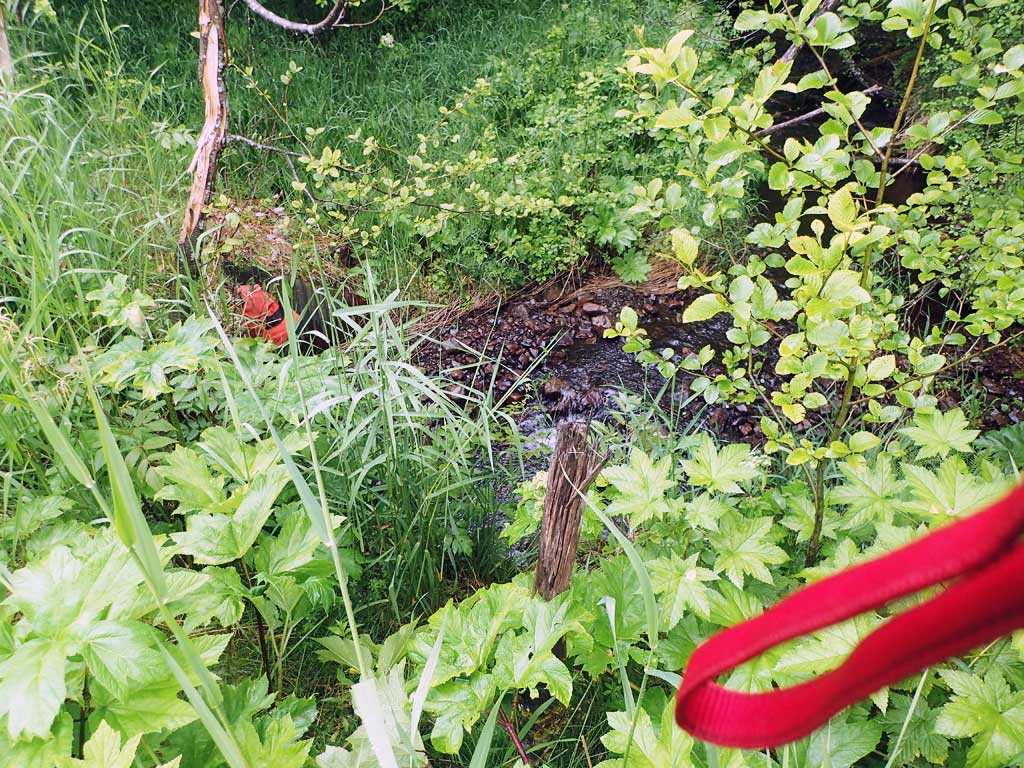
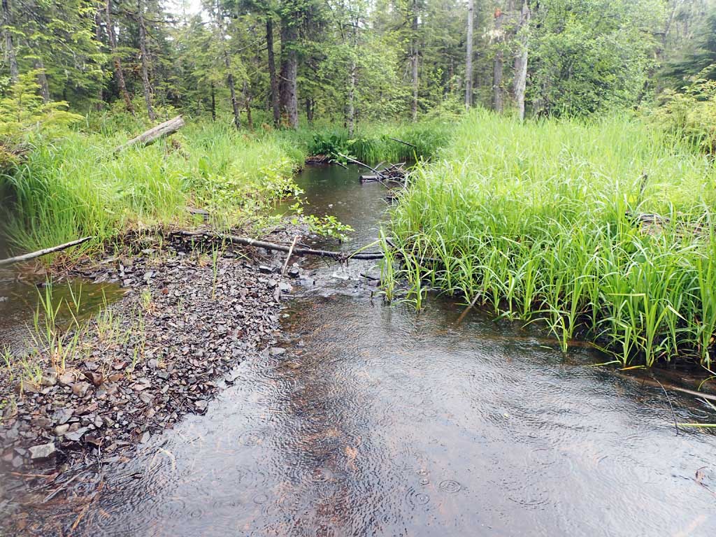
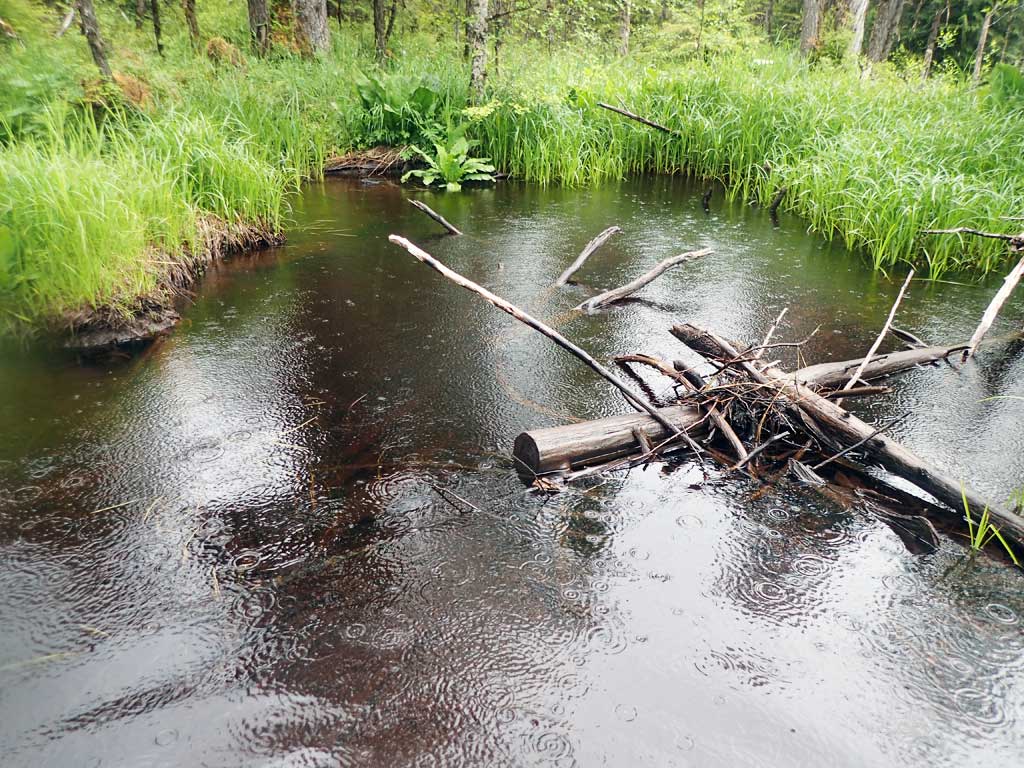
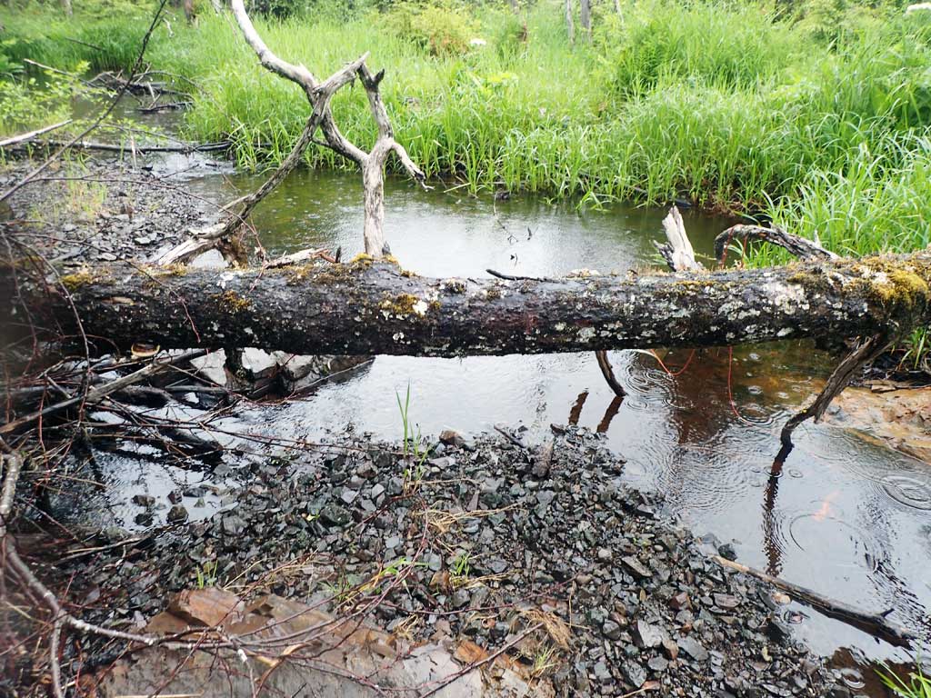
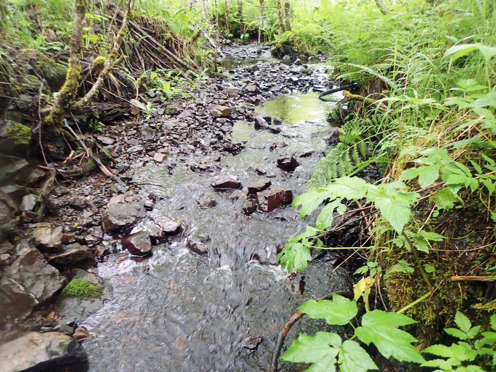
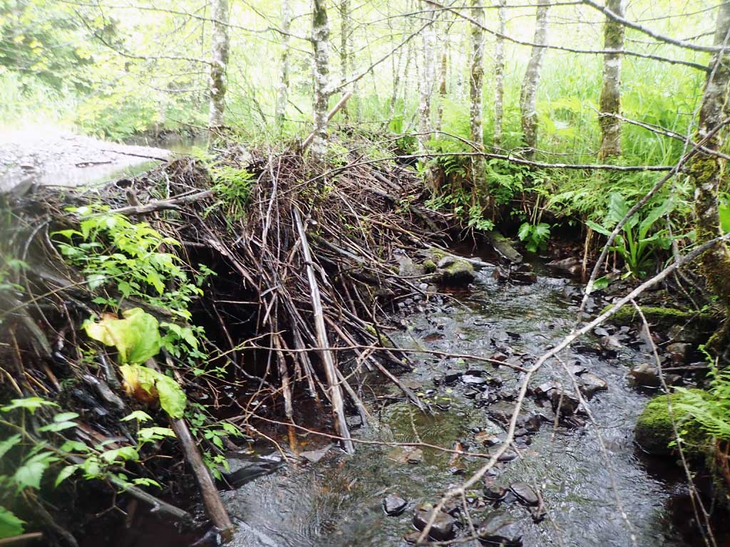
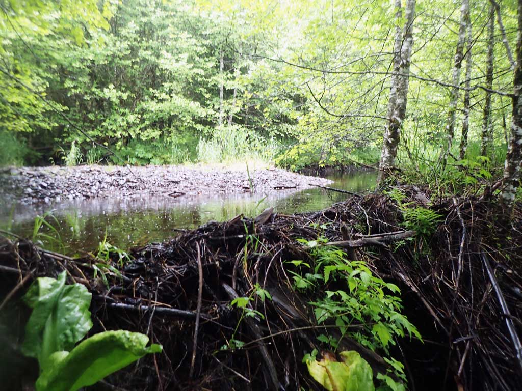
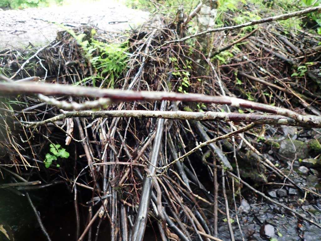
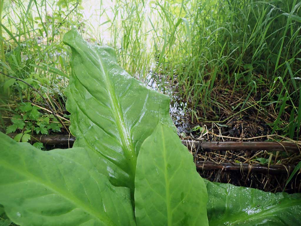
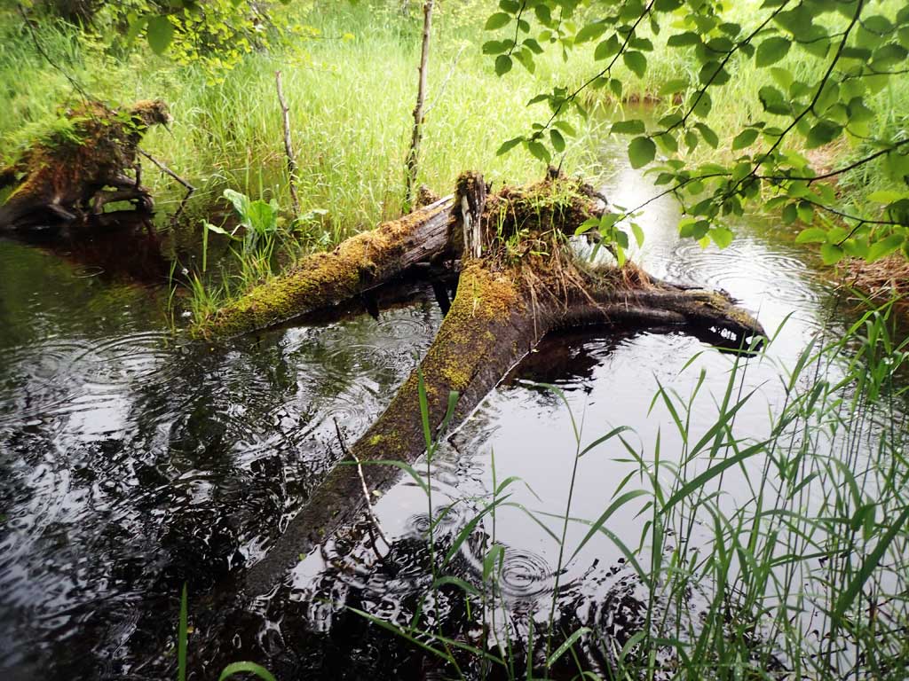
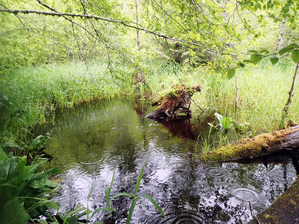
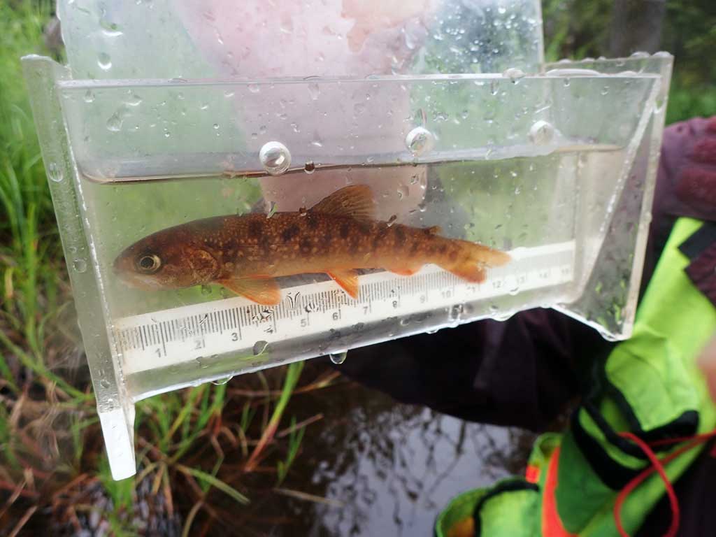
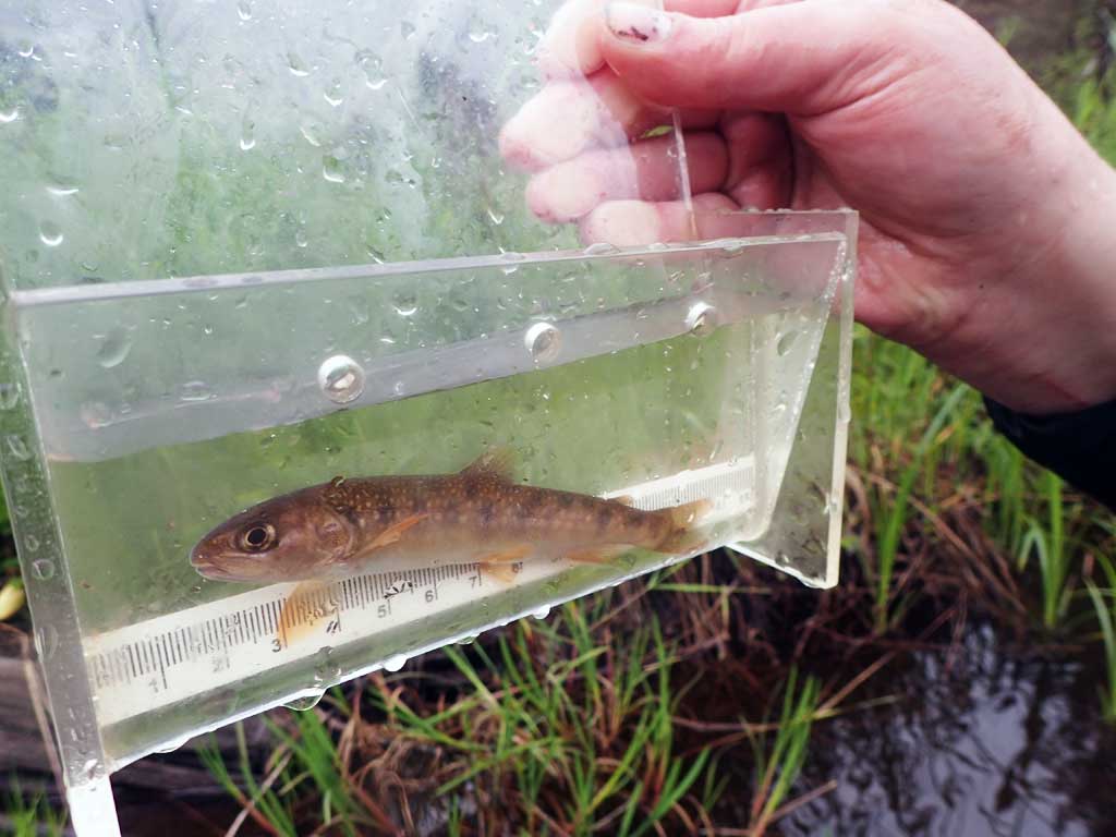
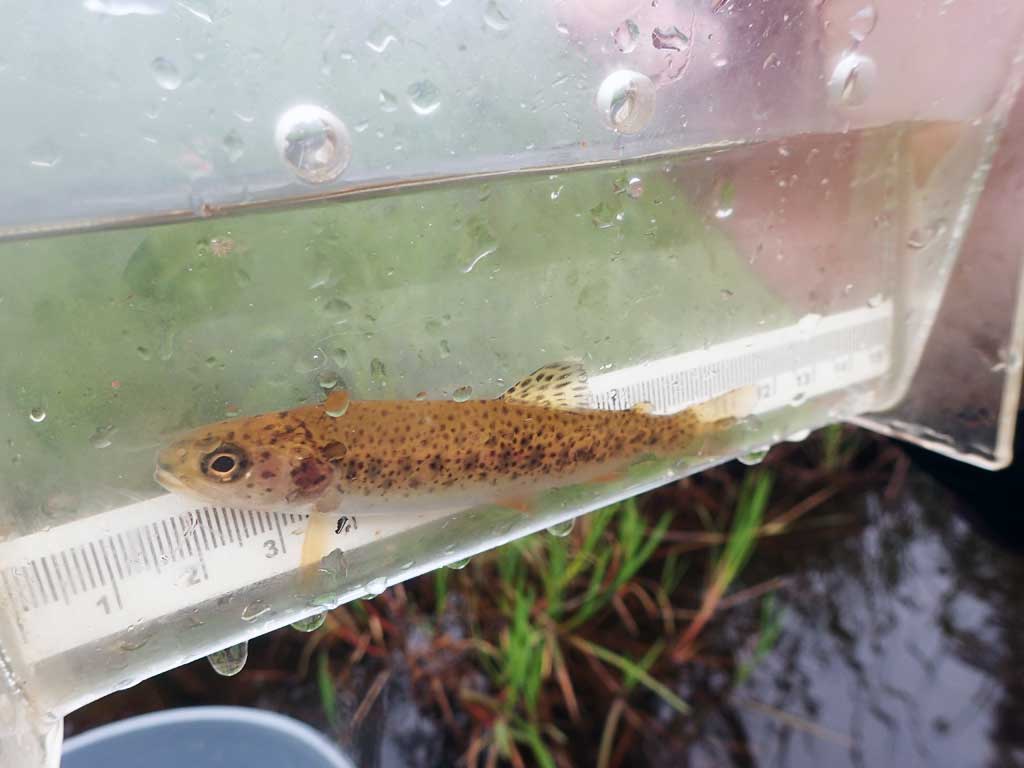
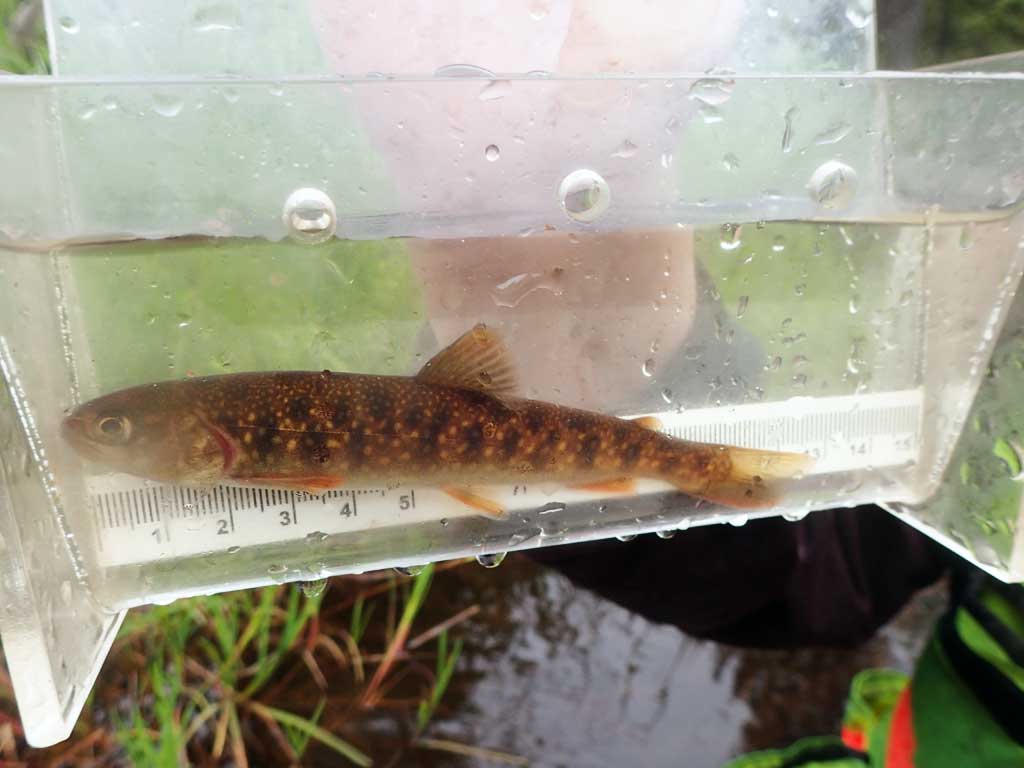
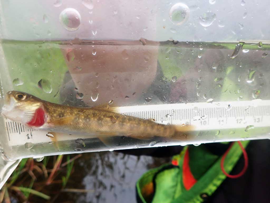
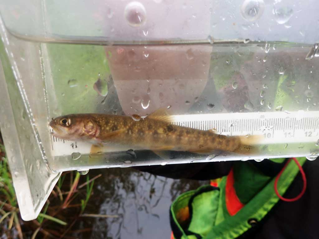
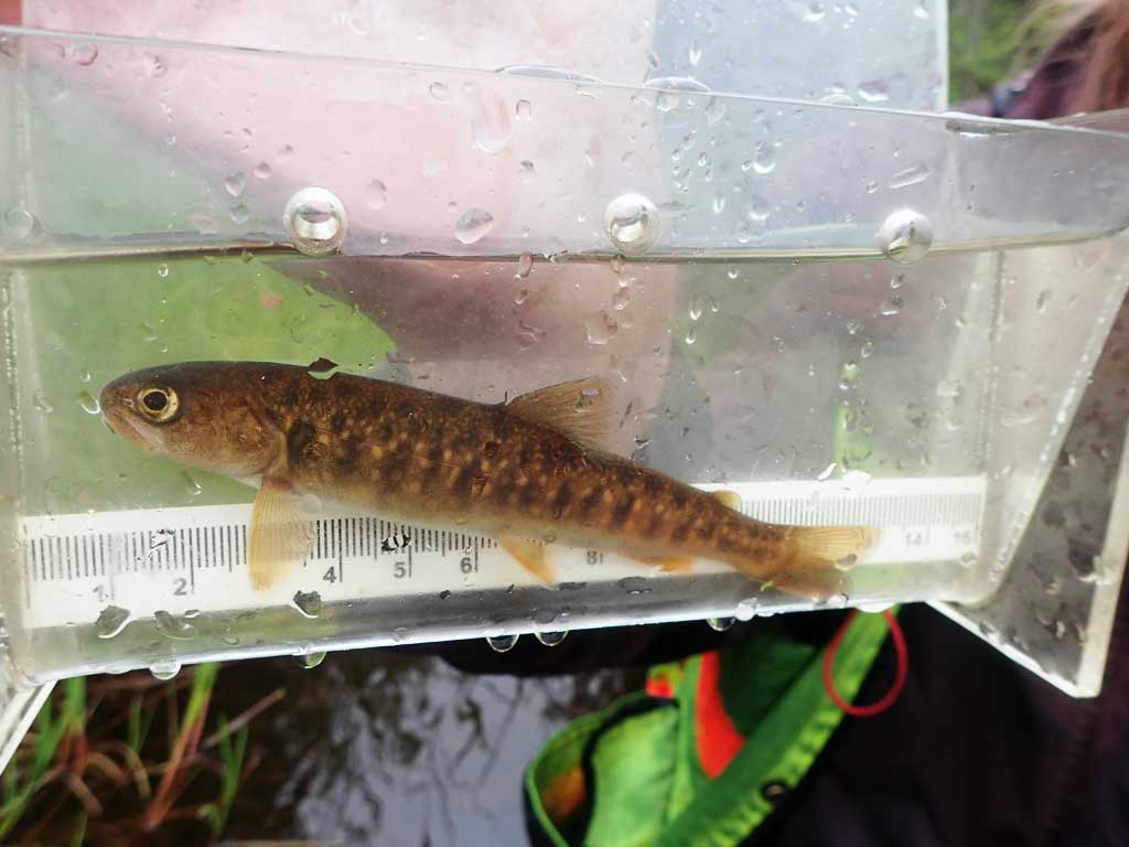
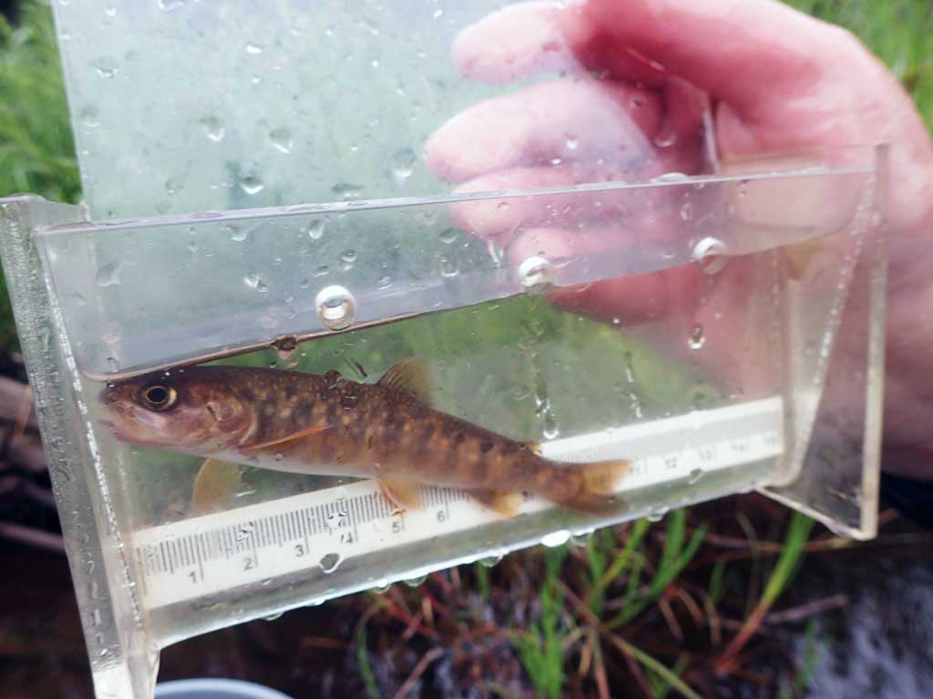
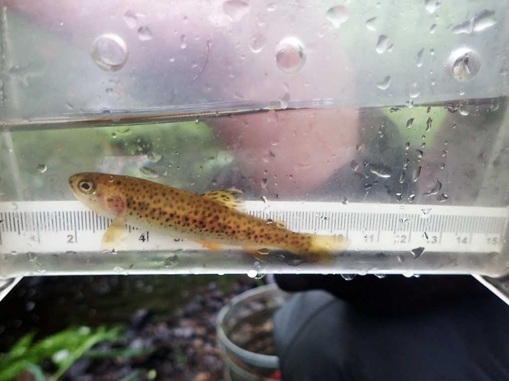
Site Comments: Stream gets steeper upstream of beaver dam. Trout in upstream trap.
Survey SEA17-BSL08
Observers: Elizabeth Flory, Kelly Petty
Overall Fish Passage Rating:
Tidal: No
Backwatered: No
Step Pools: No
Construction Year:
Site Observations:
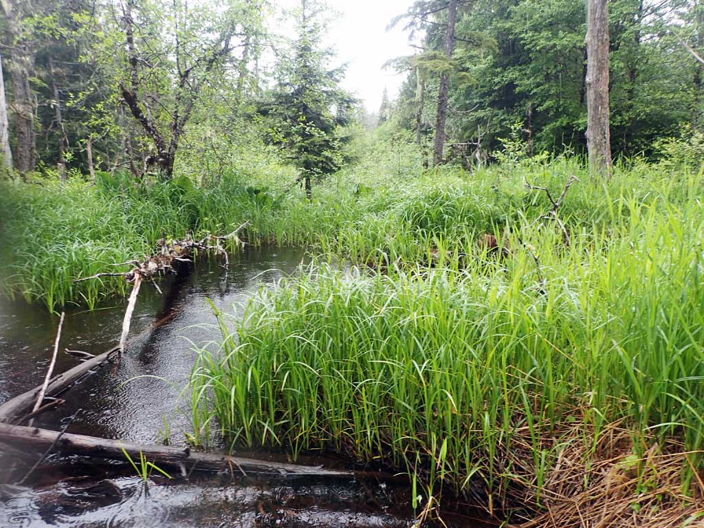
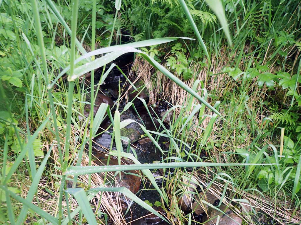
- Beaver Activity
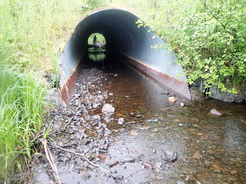
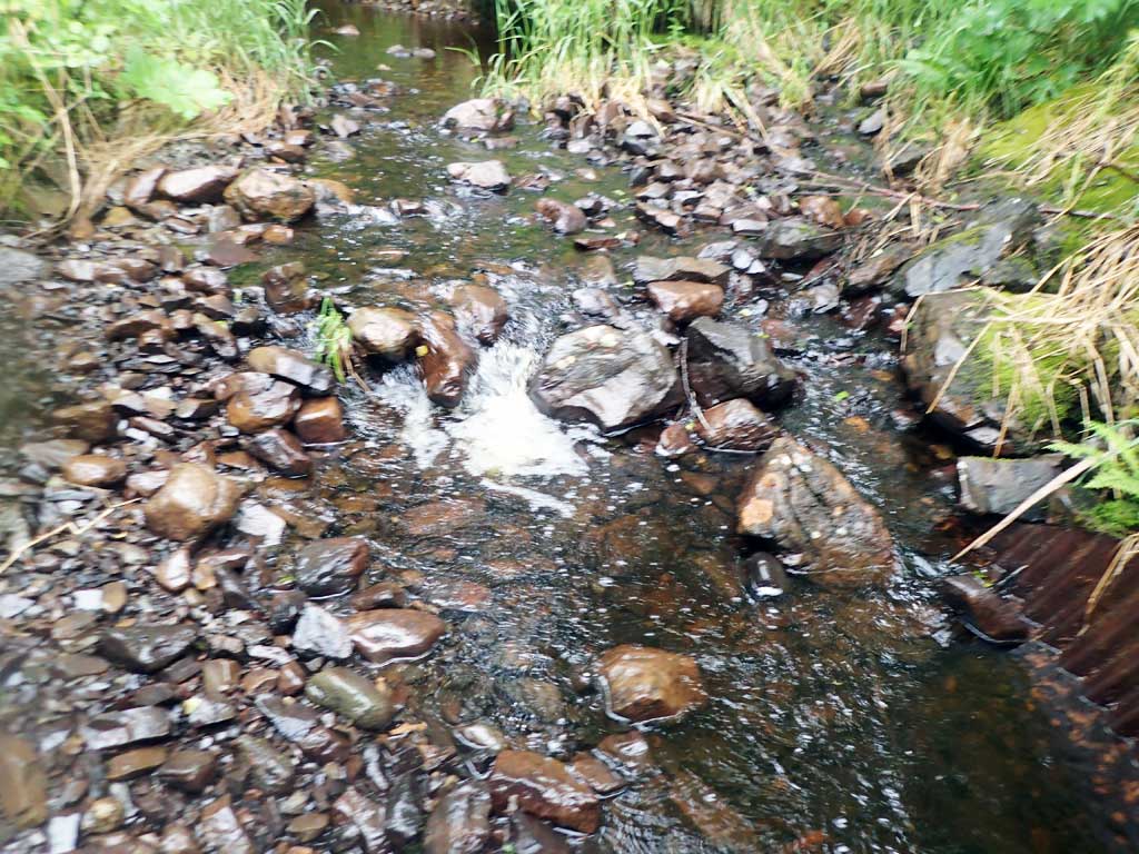
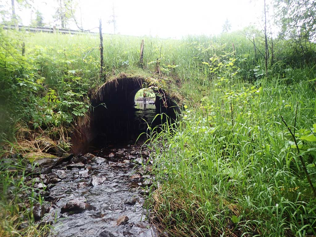
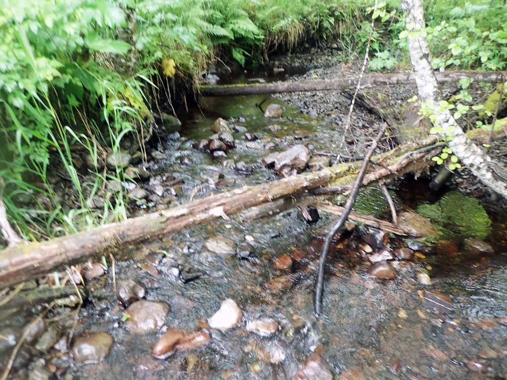
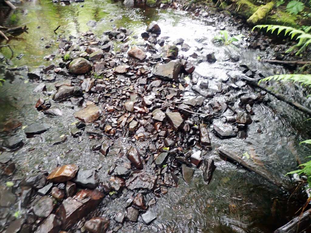
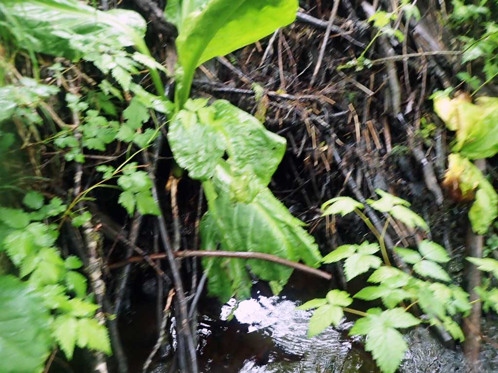
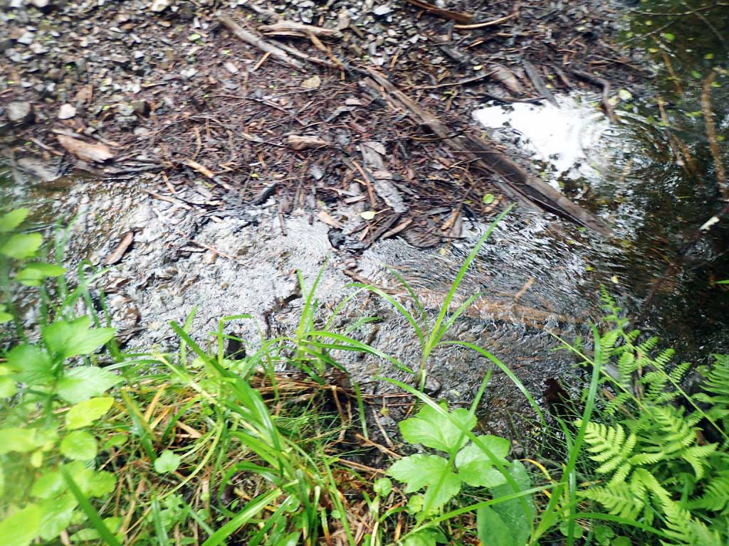
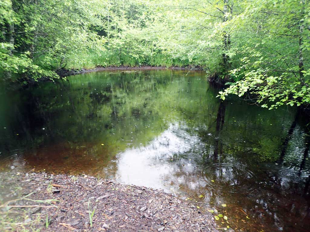
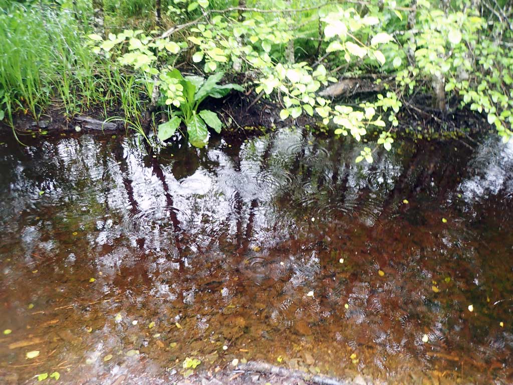
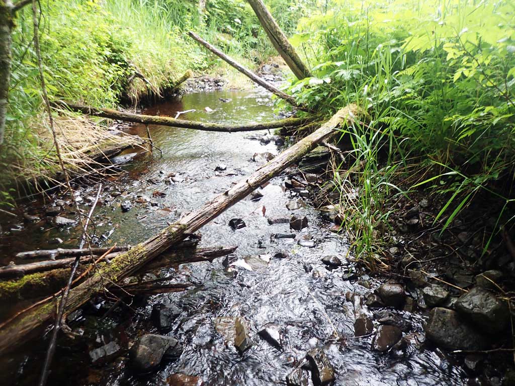
Comments: Beaver dam 130ft upstream. Beaver dam 100ft downstream makes 4ft step falls. Upstream gradient 1.74%, downstream gradient 0.72%
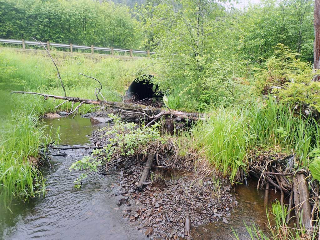
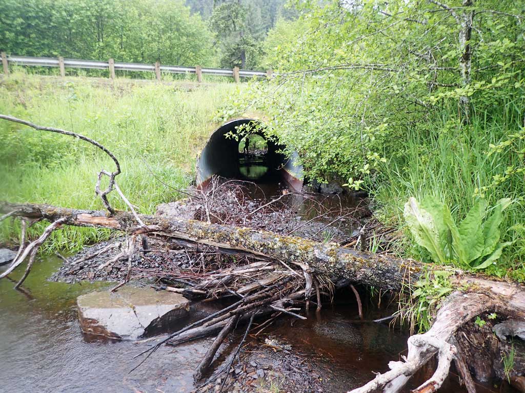
Culvert Measurements
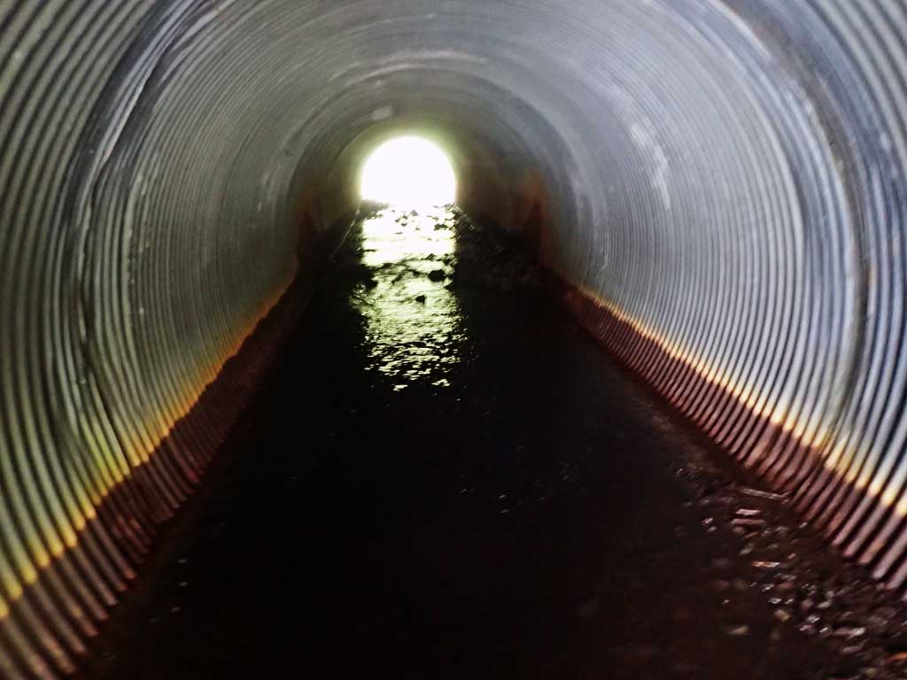
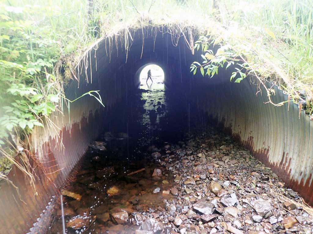
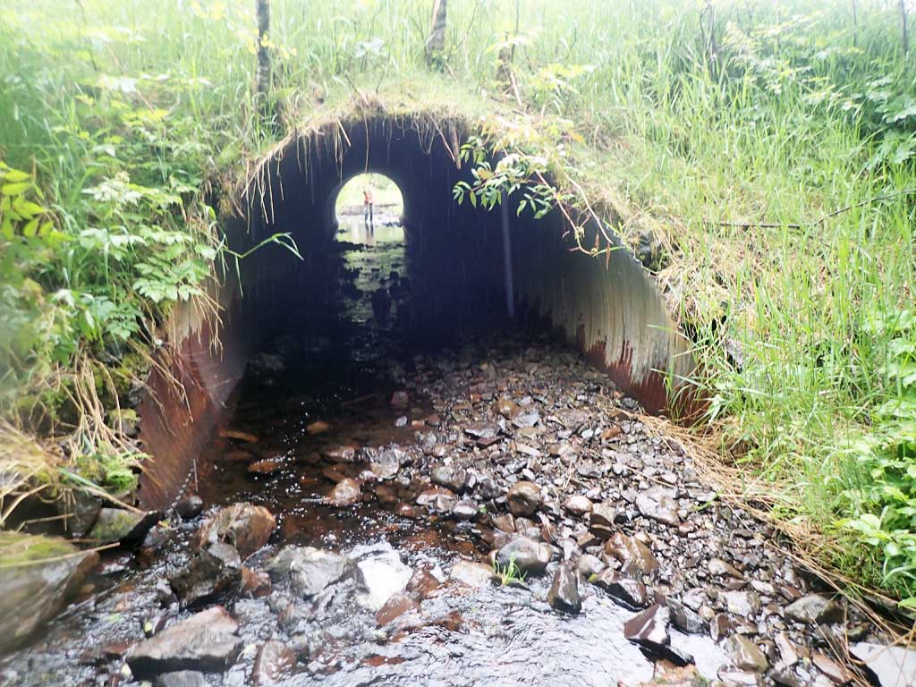
| ID: 1 | Structure Type: Circular pipe (Corrugated steel) | Fish Passage Rating: | ||||||||||||||||||||||||||||||||||||||||||
|
|
|
||||||||||||||||||||||||||||||||||||||||||
Comments: 40 degree approach but streams bends back 45 degrees in the other direction after 50ft. Quite rusty and some seams split slightly inside. Water surface gradient through culvert 0.60%. Top of culvert length 90.1'. |
||||||||||||||||||||||||||||||||||||||||||||
Culvert Observations:
|
||||||||||||||||||||||||||||||||||||||||||||
Stream Measurements
|
|
| Stream Width Type | Distance From Crossing (ft) |
Stream Width (ft) |
|---|---|---|
| Upstream ordinary high water | 60.0 | 5.75 |
| Upstream ordinary high water | 80.0 | 5.00 |
| Upstream ordinary high water | 100.0 | 6.50 |
Elevations
| Locator ID | Culvert Number |
River Distance (ft)1 |
Distance From Crossing (ft)2 |
Relative Elevation (ft) |
|---|---|---|---|---|
| Road Elev | 98.32 | |||
| D/S Grade Ctrl (Thalweg) (Edge of beaver dam) | 0.00 | 82.42 | ||
| D/S Water Surface Elev | 0.00 | 83.21 | ||
| D/S Grade Ctrl (Thalweg) (Pool) | 11.00 | 80.97 | ||
| D/S Water Surface Elev | 11.00 | 82.16 | ||
| D/S Water Surface Elev | 33.00 | 82.26 | ||
| D/S Grade Ctrl (Thalweg) | 33.00 | 82.12 | ||
| D/S Grade Ctrl (Thalweg) | 50.00 | 82.34 | ||
| D/S Water Surface Elev | 50.00 | 82.51 | ||
| D/S Grade Ctrl (Thalweg) | 72.00 | 83.53 | ||
| D/S Water Surface Elev | 72.00 | 83.73 | ||
| D/S Water Surface Elev | 86.00 | 83.87 | ||
| Outlet Invert (On substrate) | 86.00 | 83.66 | ||
| Outlet Culvert Top | 96.00 | 91.33 | ||
| Inlet Culvert Top | 186.00 | 91.57 | ||
| Outlet Invert (On substrate) | 193.00 | 84.24 | ||
| U/S Water Surface Elev | 193.00 | 84.51 | ||
| U/S Grade Ctrl (Thalweg) | 196.00 | 84.90 | ||
| U/S Water Surface Elev | 196.00 | 85.20 | ||
| U/S Grade Ctrl (Thalweg) | 224.00 | 85.24 | ||
| U/S Water Surface Elev | 224.00 | 85.64 | ||
| U/S Grade Ctrl (Thalweg) (Edge of beaver pond) | 230.00 | 85.70 | ||
| U/S Water Surface Elev | 230.00 | 85.85 | ||
| U/S Grade Ctrl (Thalweg) | 296.00 | 86.57 | ||
| U/S Water Surface Elev | 296.00 | 86.94 |
Notes:
- River distance is measured continuously throughout the survey reach along the thalweg of the stream.
- Measured from each end of the crossing along the thalweg of the stream.
Fish Sampling Efforts
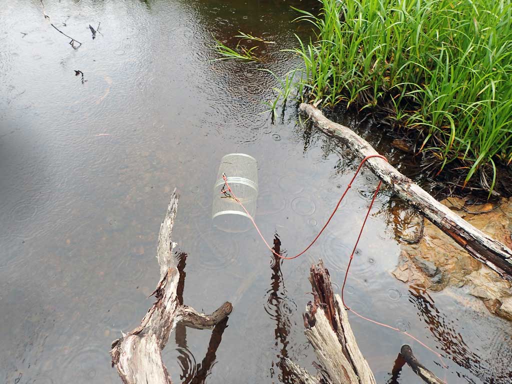
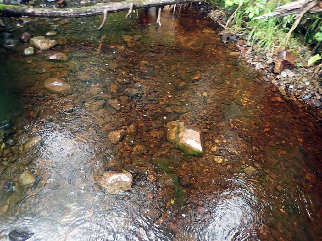
| Gear Type: Minnow Trap (A) | Trap Duration(h): 2.7 | |
| Comments: 80ft upstream | ||
| Gear Type: Minnow Trap (B) | Trap Duration(h): 2.25 | |
| Comments: 30ft downstream | ||
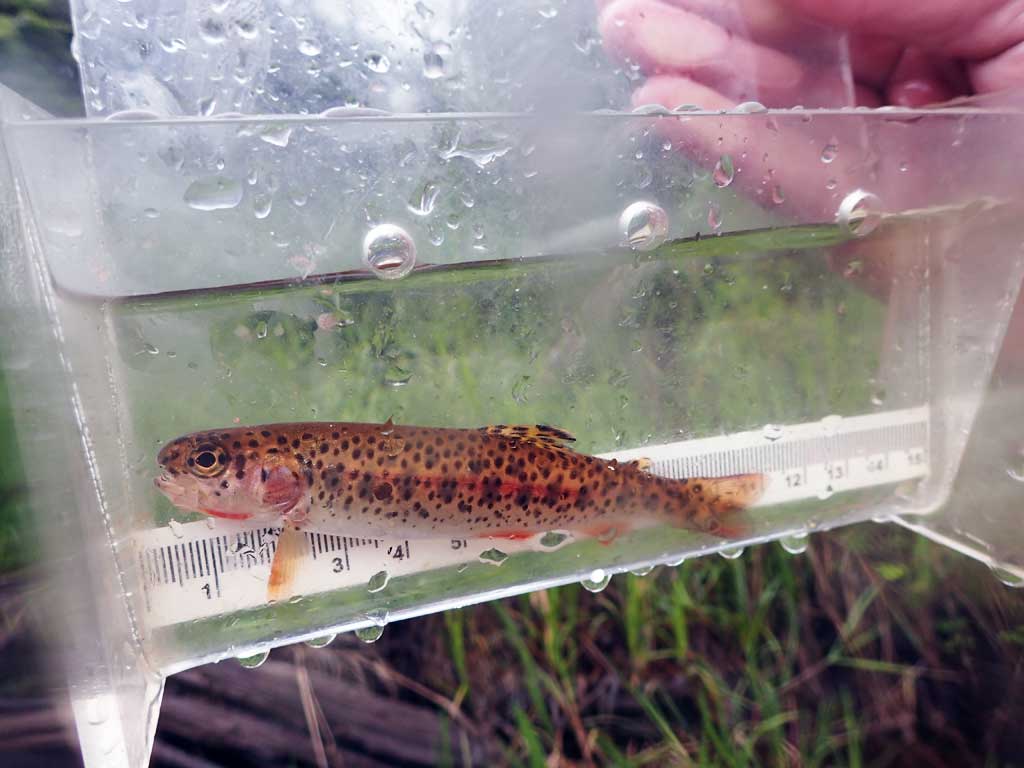
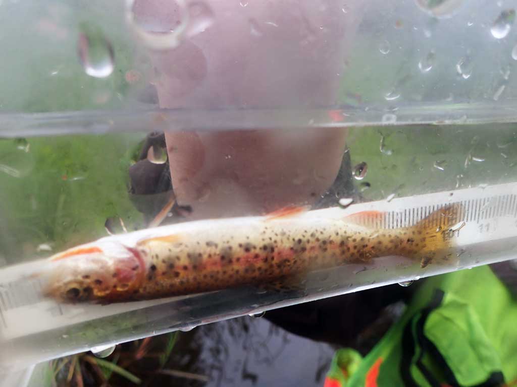
Fish Observations
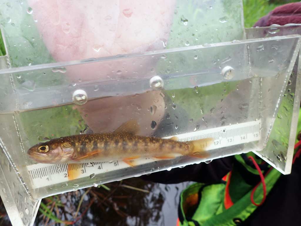
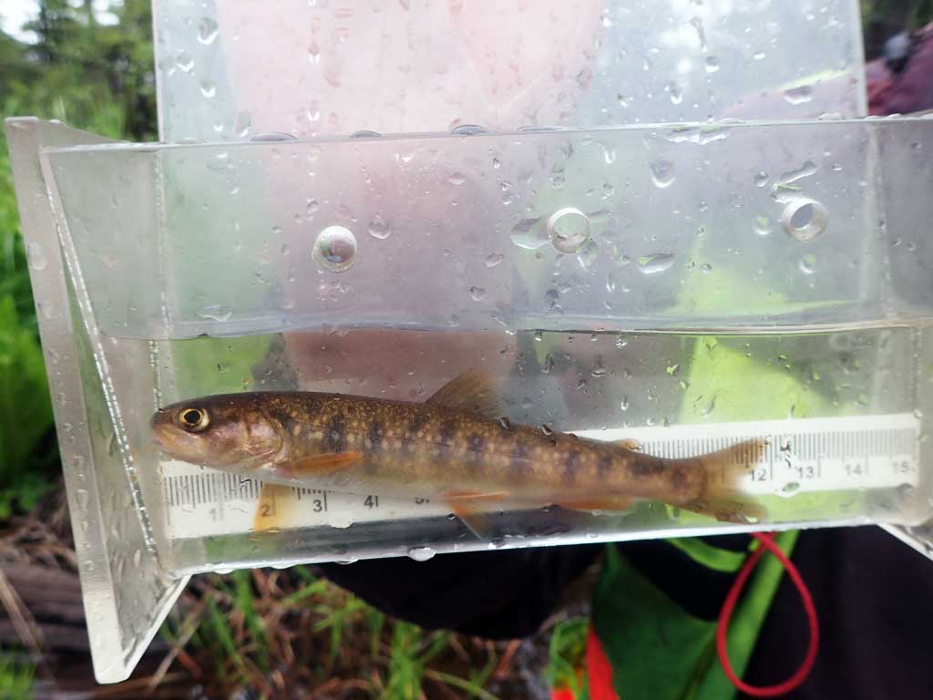
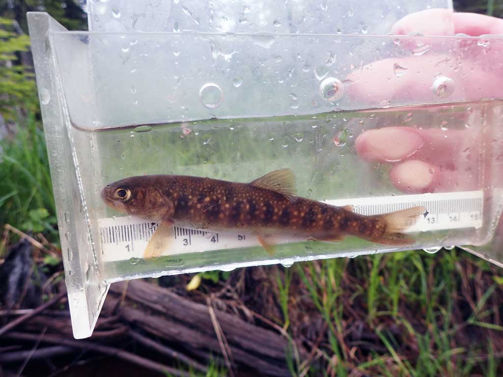
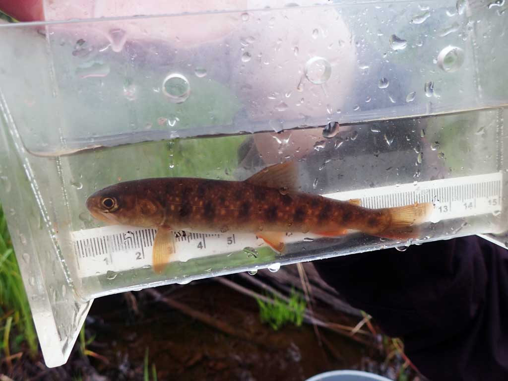
| Species: juvenile cutthroat trout | Life History: | ||
| Total Fish Observed: 6 | Fish Measured: 6 | Fork Lengths (mm) Min: 80 Max: 110 Mean: 96 | |
| Collected/Observed by Gear Type: Downstream Minnow Trap (4) Upstream Minnow Trap (2) | |||
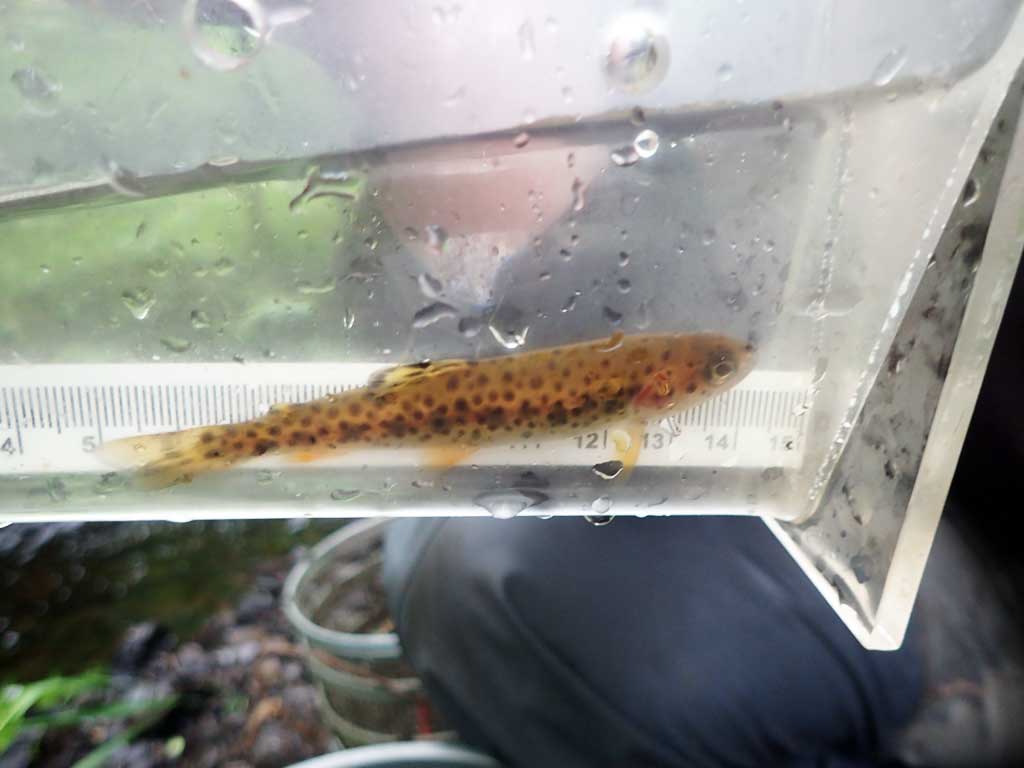
| Species: juvenile Dolly Varden | Life History: | ||
| Total Fish Observed: 10 | Fish Measured: 10 | Fork Lengths (mm) Min: 90 Max: 125 Mean: 114 | |
| Collected/Observed by Gear Type: Downstream Minnow Trap (10) | |||
Photos

Questions or comments about this report can be directed to dfg.dsf.webmaster@alaska.gov